


cloudgazer
Grey Hound
- Joined
- Oct 9, 2007
- Messages
- 5,135
- Reaction score
- 6
- Bike
- BMW F650GS / Dakar
After a month or so of family oriented weekends, it was time to get away.
Time for a little ME TIME.
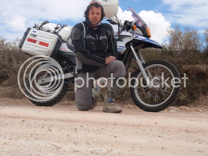
So a chilled solo ride was in order. I originally wanted to go to De Hoop, but they were full, so someone suggested the Bontebok Nature Reserve instead. It’s just outside of Swellendam, so not far from Cape Town at all.
So I chose to do a nice meandering route via Cape Agulhas.
I woke up nice and early on Saturday morning, saw it was nice and early so went back to sleep in order to wake up at a more civilized hour.
When I did eventually wake up, all I had to do was eat breakfast and hop on my bike, as I’d packed the night before.
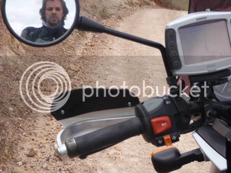
I’ve said it before, but I don’t feel like a trip has started until I’m over Sir Lowry’s Pass, and just a few minutes into my trip something went wrong.
As I was approaching Houwhoek farm stall and over taking a truck I suddenly lost all power. My first thought was that my clutch cable had snapped, but no, I could still change gears, except nothing happened.
I pulled over to the side of the road and saw that my chain had come off. No biggie, I slipped it back on the rear sprocket and continued on my merry way.
Now I’ve mentioned before (in a previous trip report) that my GPS suddenly gets confused and tries to lead me astray. It happened again this time. But it was not really an issue…. Yet!
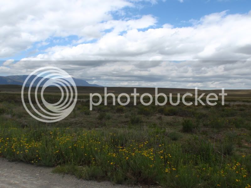
The rest of the ride to Bontebok was beautifully uneventful. I stopped in Swellendam to pick up supplies for the night.
Bonetbok is a beautiful little Game Park. Tiny.
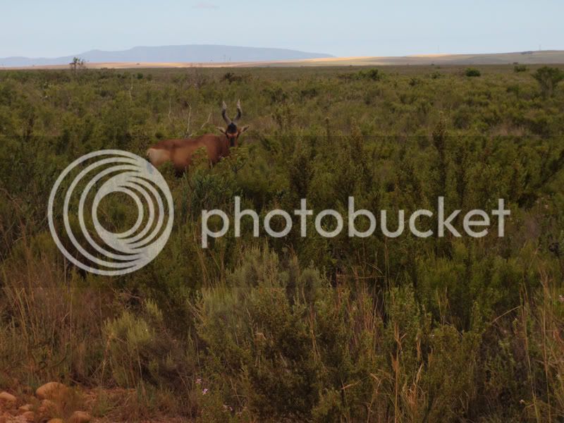
I really liked the camping area by the river. The outer camp sites are spaced nicely apart, and the ablution facilities are nice and clean. I introduced myself to some other campers. It always pays to be friendly especially when you want them to keep your beers chilled in their ice box.
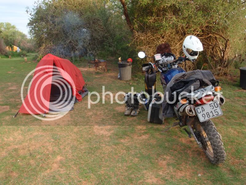
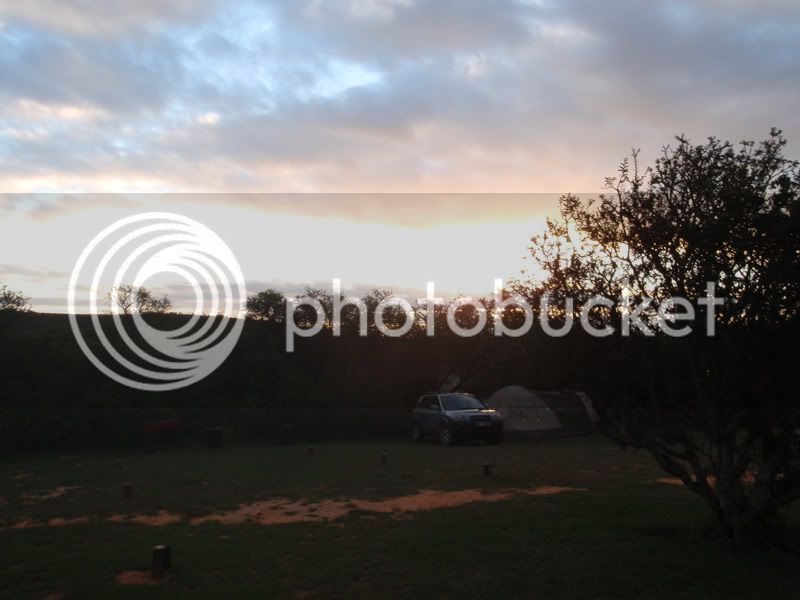
While sipping on a beer and watching the sun go down I noticed my front shock was leaking oil. Damn….. oh well, not much I could do about it.
I’d planned an easy route home.
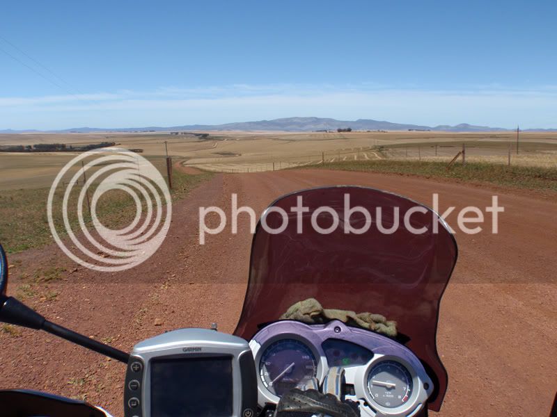
The ride started off well, the farm roads were fun, except for all the gates I had to open and close.
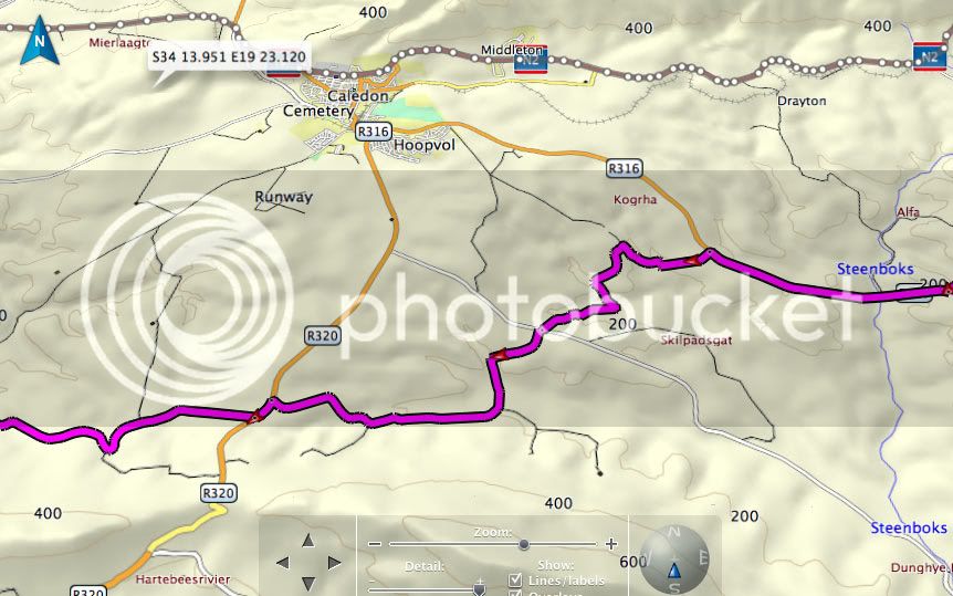
But on this fine morning my GPS was totally cooked. It looked like on of those Mescal spider webs. Totally impossible to navigate.
This is what the route should have looked like:
This is what it did look like:
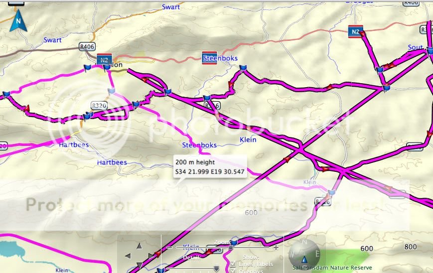
I blame the Basecamp software for this. It’s ridiculous that Garmin has 2 apps for the Apple Mac.
Roadtrip was the original GPS routing software, and I suppose it’s like Mapsource for PC.
Basecamp was designed for handheld GPS units and marketed to hikers. Basecamp however work s faster and smoother than Roadtrip and has the ability to view Digital Elevation Maps (DEM).
Even with the 3D DEM maps it runs far better than Roadtrip, but it’s obviously bug-ridden. I’ve had routing issues since I started using it a few months ago.
Just before I got to Caledon, my GPS tried to lead me onto a private road, at that point I gave up trying to use it, and opted to hop onto the N2 all the way home.
Going up Houwhoek pass I lost power again. It’s quite frightening coming out of a U bend, and suddenly losing all throttle response. I let my momentum get me as far up the hill and away from the turn as possible.
The chain had come off again.
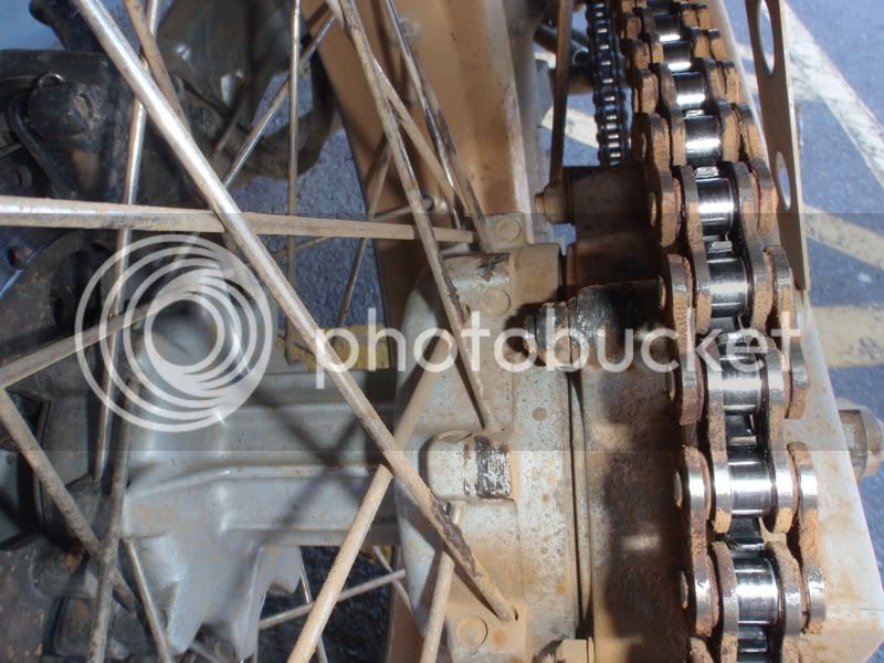
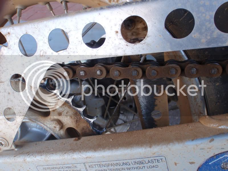
This time after putting it on, I tightened it since there seemed to be far too much slack.
I nursed my leaky broken bike home not exceeding 110kms. At that speed I couldn’t hear the horrible grinding noise the chain and sprocket were making.
And that folks was my weekend.
Time for a little ME TIME.
So a chilled solo ride was in order. I originally wanted to go to De Hoop, but they were full, so someone suggested the Bontebok Nature Reserve instead. It’s just outside of Swellendam, so not far from Cape Town at all.
So I chose to do a nice meandering route via Cape Agulhas.
I woke up nice and early on Saturday morning, saw it was nice and early so went back to sleep in order to wake up at a more civilized hour.
When I did eventually wake up, all I had to do was eat breakfast and hop on my bike, as I’d packed the night before.
I’ve said it before, but I don’t feel like a trip has started until I’m over Sir Lowry’s Pass, and just a few minutes into my trip something went wrong.
As I was approaching Houwhoek farm stall and over taking a truck I suddenly lost all power. My first thought was that my clutch cable had snapped, but no, I could still change gears, except nothing happened.
I pulled over to the side of the road and saw that my chain had come off. No biggie, I slipped it back on the rear sprocket and continued on my merry way.
Now I’ve mentioned before (in a previous trip report) that my GPS suddenly gets confused and tries to lead me astray. It happened again this time. But it was not really an issue…. Yet!
The rest of the ride to Bontebok was beautifully uneventful. I stopped in Swellendam to pick up supplies for the night.
Bonetbok is a beautiful little Game Park. Tiny.
I really liked the camping area by the river. The outer camp sites are spaced nicely apart, and the ablution facilities are nice and clean. I introduced myself to some other campers. It always pays to be friendly especially when you want them to keep your beers chilled in their ice box.
While sipping on a beer and watching the sun go down I noticed my front shock was leaking oil. Damn….. oh well, not much I could do about it.
I’d planned an easy route home.
The ride started off well, the farm roads were fun, except for all the gates I had to open and close.
But on this fine morning my GPS was totally cooked. It looked like on of those Mescal spider webs. Totally impossible to navigate.
This is what the route should have looked like:
This is what it did look like:
I blame the Basecamp software for this. It’s ridiculous that Garmin has 2 apps for the Apple Mac.
Roadtrip was the original GPS routing software, and I suppose it’s like Mapsource for PC.
Basecamp was designed for handheld GPS units and marketed to hikers. Basecamp however work s faster and smoother than Roadtrip and has the ability to view Digital Elevation Maps (DEM).
Even with the 3D DEM maps it runs far better than Roadtrip, but it’s obviously bug-ridden. I’ve had routing issues since I started using it a few months ago.
Just before I got to Caledon, my GPS tried to lead me onto a private road, at that point I gave up trying to use it, and opted to hop onto the N2 all the way home.
Going up Houwhoek pass I lost power again. It’s quite frightening coming out of a U bend, and suddenly losing all throttle response. I let my momentum get me as far up the hill and away from the turn as possible.
The chain had come off again.
This time after putting it on, I tightened it since there seemed to be far too much slack.
I nursed my leaky broken bike home not exceeding 110kms. At that speed I couldn’t hear the horrible grinding noise the chain and sprocket were making.
And that folks was my weekend.
")
