You are using an out of date browser. It may not display this or other websites correctly.
You should upgrade or use an alternative browser.
You should upgrade or use an alternative browser.
Rat racer's weekend getaways
- Thread starter Xpat
- Start date
This site may earn a commission from merchant affiliate
links, including eBay, Amazon, and others.
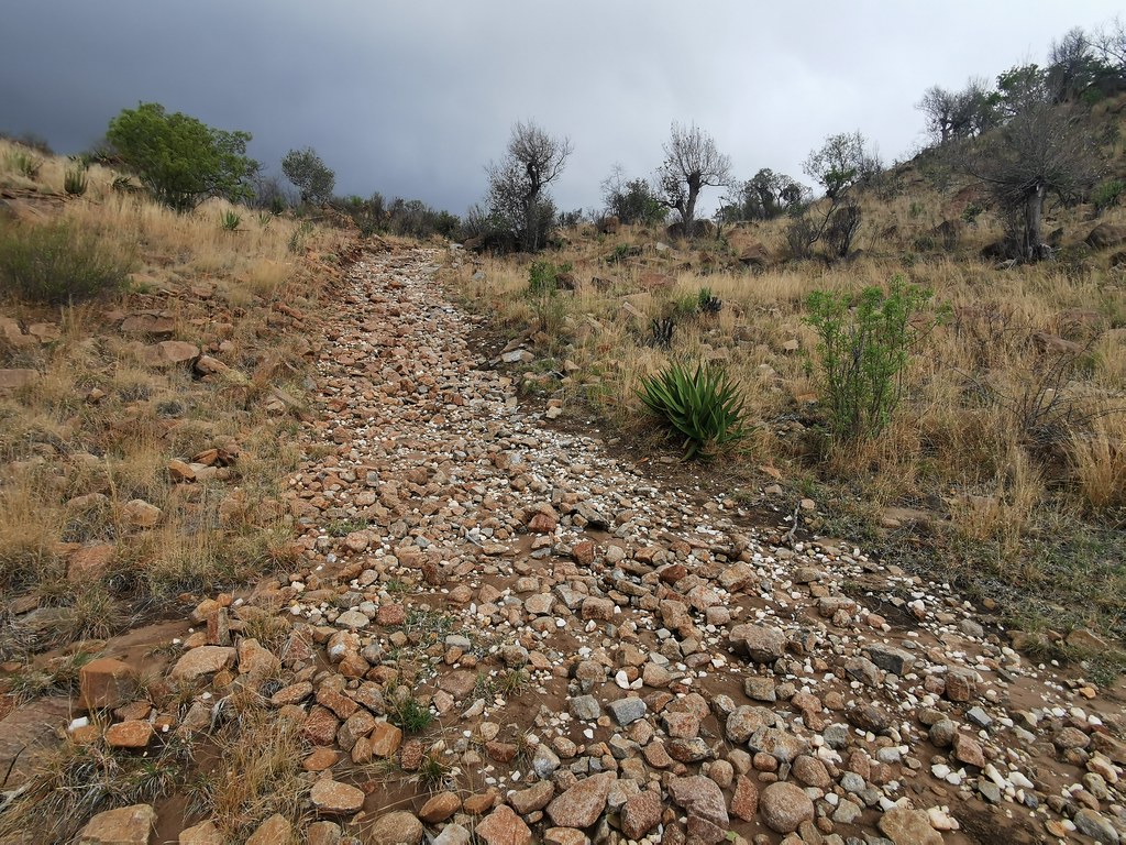
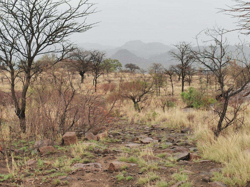
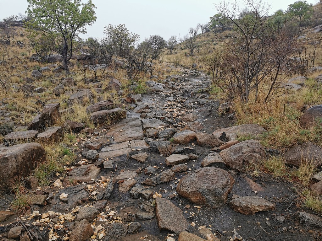
By the time I made it back to the bike it was raining properly and it took me good 20 minutes to get the bike unstuck from the rocks and turn it around in slippery mud. I then pushed back as quickly as I could (which wasn't much as the track was extremely slippery) trying to get out of the mountain and away from the storm.
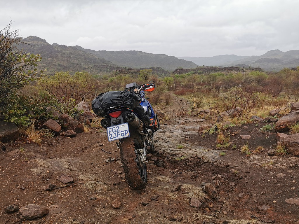
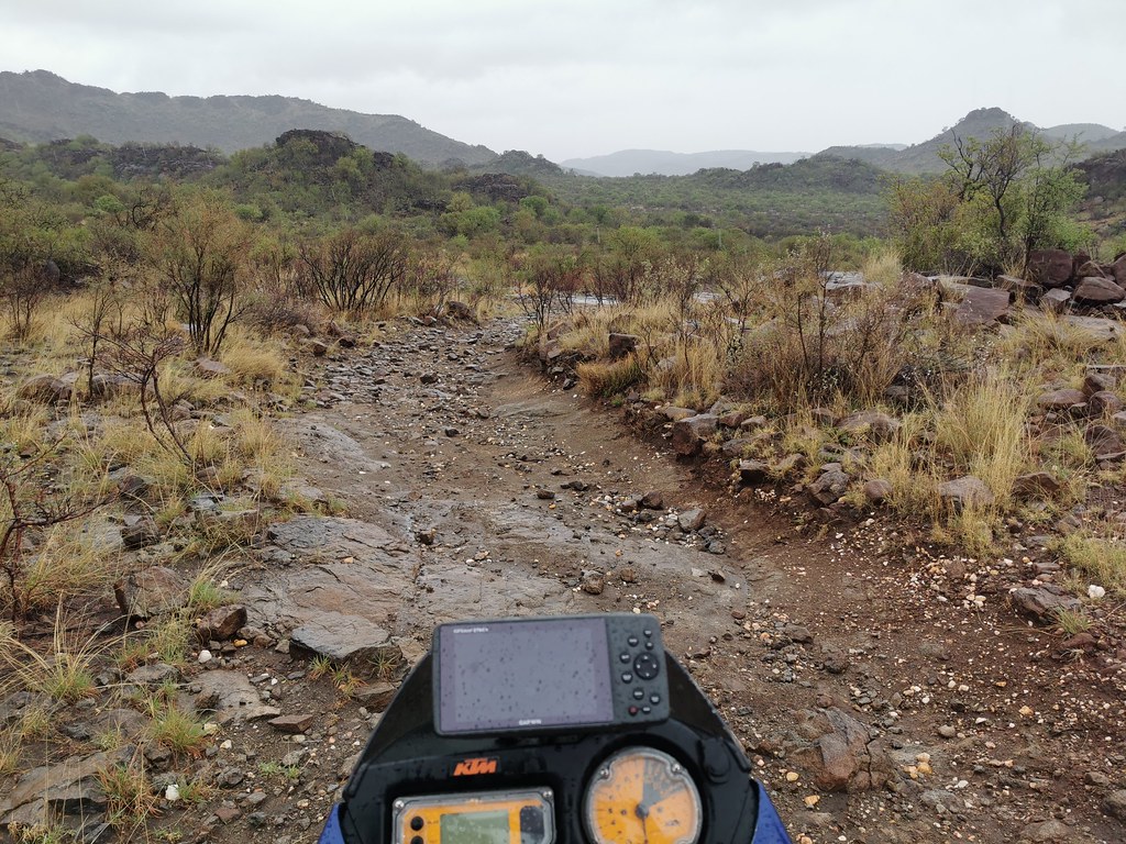
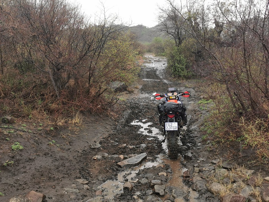
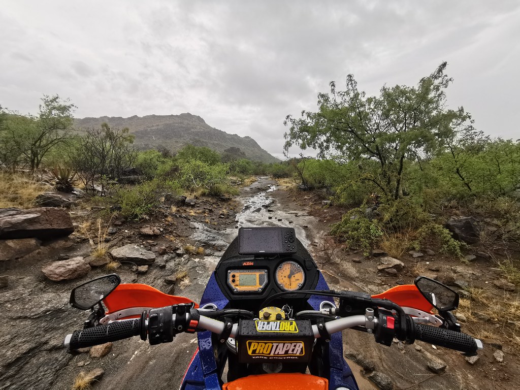
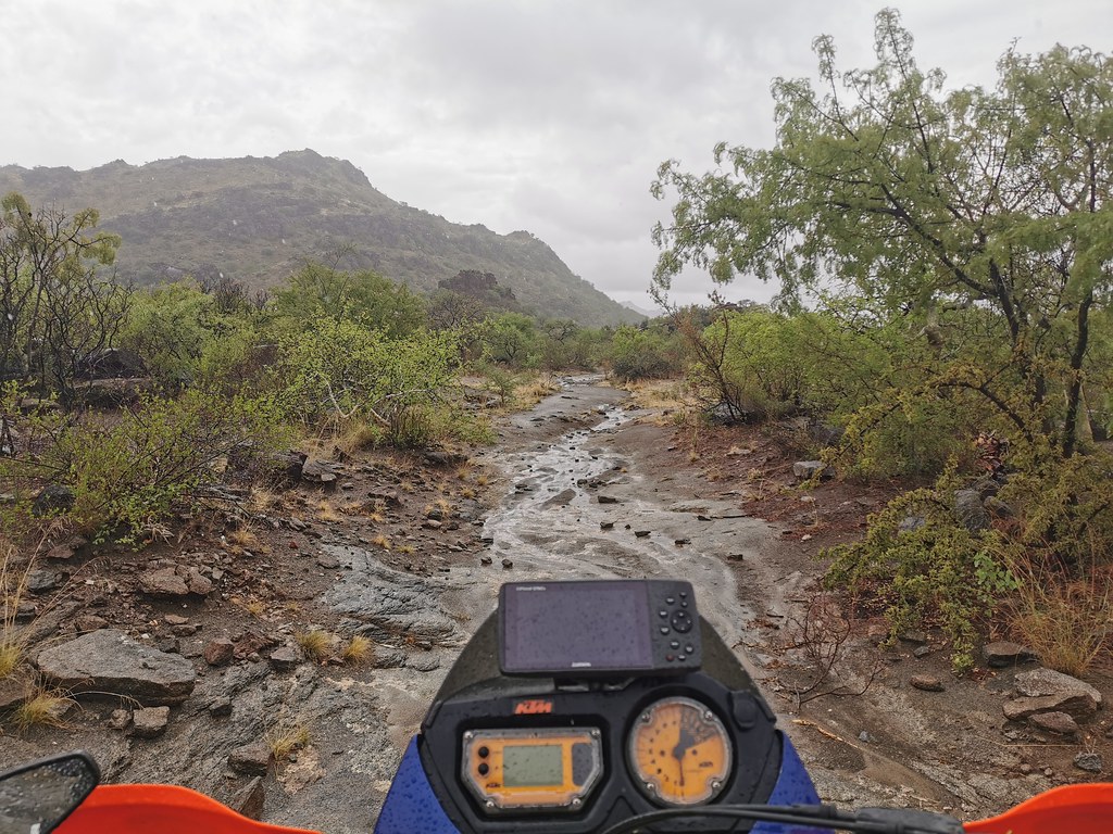
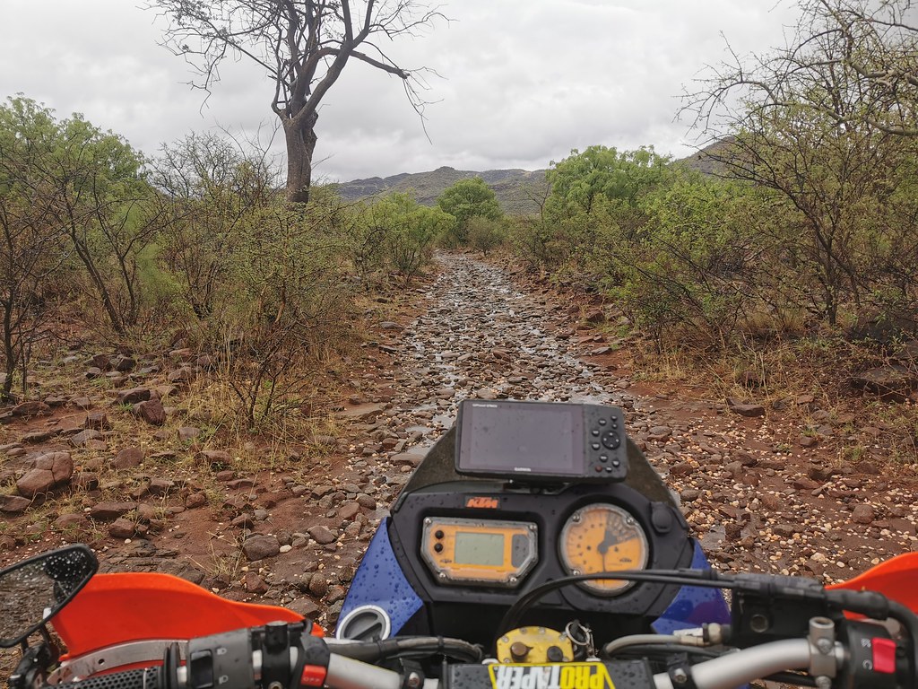
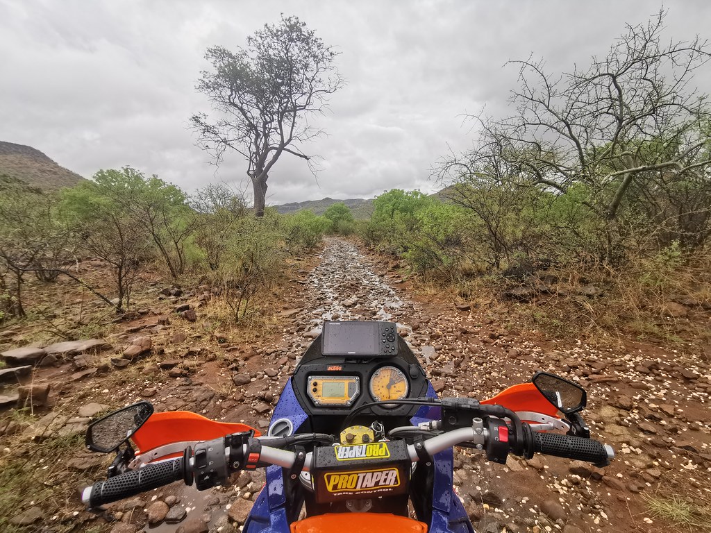
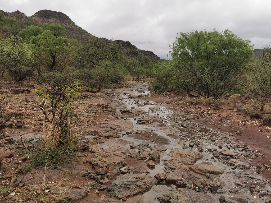
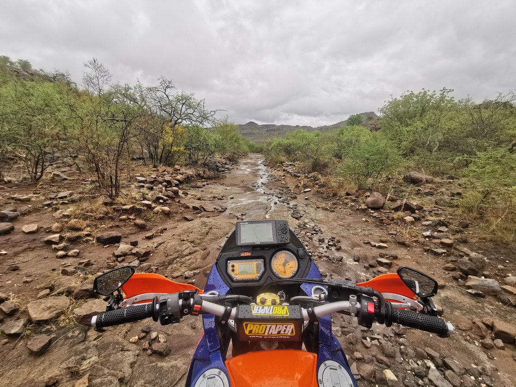
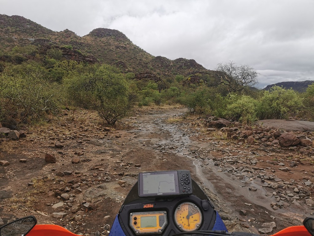
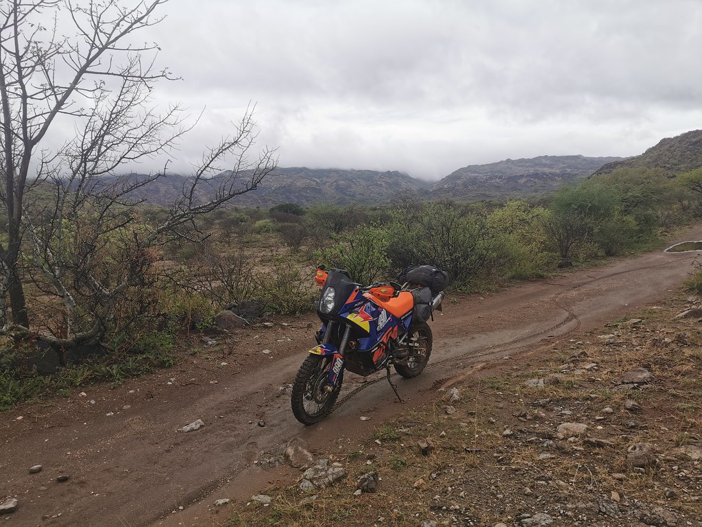
I have made it out of the mountains in one piece, and after fill up headed for miserable commute of five hours of cold rain back to GP.


I have made it out of the mountains in one piece, and after fill up headed for miserable commute of five hours of cold rain back to GP.
ClimbingTurtle
Bachelor Dog
- Joined
- May 6, 2011
- Messages
- 10,710
- Reaction score
- 1,336
- Location
- Gauteng, South Africa
- Bike
- BMW (all models)
sidetrack said:Mud, rain, rocks and a 220KG bike solo
Kuddos.....
I like riding my little 650XC, but Martin runs rings around me on that 990 - its embarrassing....... 8)
BullFrog said:Sheez Martin!!!!!
I read this from the beginning now and I was spiritually not in the office for a while....
Lekker stuff, man!!!
Cheers BullFrog :thumleft:
Osadabwa
Race Dog
You get into some fun riding for sure, and a lot more often than me these days. Making me jealous as hell! That slippery mountain track looked refreshing alright, after all those flat tracks.
Also, there is a sure-fire method for sorting out you KTM when one of its many adorable little "known" problems sends you walking again:
1) Tuck a rag into the fuel tank
2) Strike a match
3) Stand back
Then say it was stolen and go buy an XR650R with the insurance money! In RSA they're readily available and those boys keep them in really good nick. You could buy 4 of them for the price of another big Katoom too, so plenty of leftover scratch to get a cushy seat, pimp the suspension and, uh, that's all it needs actually...
Just kidding of course... kind of... carry on!
:snorting:
Osadabwa said:You get into some fun riding for sure, and a lot more often than me these days. Making me jealous as hell! That slippery mountain track looked refreshing alright, after all those flat tracks.
Also, there is a sure-fire method for sorting out you KTM when one of its many adorable little "known" problems sends you walking again:
1) Tuck a rag into the fuel tank
2) Strike a match
3) Stand back
Then say it was stolen and go buy an XR650R with the insurance money! In RSA they're readily available and those boys keep them in really good nick. You could buy 4 of them for the price of another big Katoom too, so plenty of leftover scratch to get a cushy seat, pimp the suspension and, uh, that's all it needs actually...
Just kidding of course... kind of... carry on!
:snorting:
Well, you are mistaken at least on two counts:
- My 990s were only marginally more expensive than XRR. I paid R65k for the first one, which is probably only about R10k more than I would have to pay for reasonably well preserved XRR.
- 990 battery can heal itself as was proven by this experiment. On XRR, I would be still there kicking my guts out.... or more probably would have set it on fire already....
Life is too short to waste it on Jap bikes...
Osadabwa
Race Dog
Well, you are mistaken at least on two counts:
- My 990s were only marginally more expensive than XRR. I paid R65k for the first one, which is probably only about R10k more than I would have to pay for reasonably well preserved XRR.
- 990 battery can heal itself as was proven by this experiment. On XRR, I would be still there kicking my guts out.... or more probably would have set it on fire already....
Life is too short to waste it on Jap bikes...
[/quote]
Mea culpa, mea culpa! You know best!
You keep riding and I'll keep trolling :snorting:
- Joined
- Jun 24, 2012
- Messages
- 33,685
- Reaction score
- 11,269
- Location
- Slowveld
- Bike
- KTM 890 Adventure R Rally
sidetrack said:Mud, rain, rocks and a 220KG bike solo
Takes some serious guts to do that on your own. :3some:
Noneking said:sidetrack said:Mud, rain, rocks and a 220KG bike solo
Takes some serious guts to do that on your own. :3some:
Nah - it is the old story of frog getting cooked in slowly heated up water. It starts easy, then there is first tougher bit and you think - let's see what is further, then next and so on until that 'Oh ****' moment when you realize that it is probably preferrable to push on into unknown, rather than going back through the tough sections you already did.
Looks like riverbeds you were riding, lots of fun :thumleft: Ours close to Ofcalaco in beginning of video. Penge bit of a cheat on lighter bikes and Orrie can be done in the time it takes Kid Rock to sing a song :biggrin:
https://www.youtube.com/watch?v=WZ5P237ozBU&feature=emb_logo
https://www.youtube.com/watch?v=WZ5P237ozBU&feature=emb_logo
ROOI
Race Dog
A few OOO fok moments there :imaposer:sidetrack said:Looks like riverbeds you were riding, lots of fun :thumleft: Ours close to Ofcalaco in beginning of video. Penge bit of a cheat on lighter bikes and Orrie can be done in the time it takes Kid Rock to sing a song :biggrin:
https://www.youtube.com/watch?v=WZ5P237ozBU&feature=emb_logo
Clockwork Orange
Race Dog
- Joined
- May 22, 2006
- Messages
- 2,775
- Reaction score
- 106
- Location
- United Kingdom
- Bike
- KTM 990 Adventure
Loving these trips you are sharing with us. It seems you use satelite imagery a lot for your route planning. Do you then check these tracks against T4A or similar? How else do you know if its private land etc? ABSOLUTELY NO criticism, I love the way you go about your exploration, I am just trying to learn from you.
Little Lesotho / Kaokoland
This weekend I went back to where I left off last week - to explore the mountains north of Steelpoort. Last week I got the taste of northern corner that reminded me of Kaokoland, this week I wanted to explore from the south upwards, ideally connecting to the section I did last week. That would give me a route across the whole 50 - 60 km range.
So on Friday evening I gunned it on tar to Steelpoort where I crashed in the rowdy Jorge's resort - a contractor accommodation place, which was still full of contractors elated that the weekend was close, with all the attendant ruccus. So I went to bed relatively late, which was a cause of relative late start next morning - not ideal considering the temperatures were already around 30 by 9 am.
I set off and hit straight away what I expected to be the toughest bit. Getting to the top of the steep mountains starting just to the north west of the town in satellite township. I knew from satellite images that the terrain will be steep - indeed it remindd me of Lesotho, hence title of this ride. I found a route shown by Google, that traversed the steepest slopes upwards. I was suspicious, as I couldn't really see the track on the satellite images, so I plotted alternative route in the next valley that I could actually see.
First I tried the Google route and as expected I came to a dead end. I found out later when I got to the top that there really was road there some time ago, but now is so badly erroded that it is basically non-existent. Attemptable on 500, but no way on the 990.
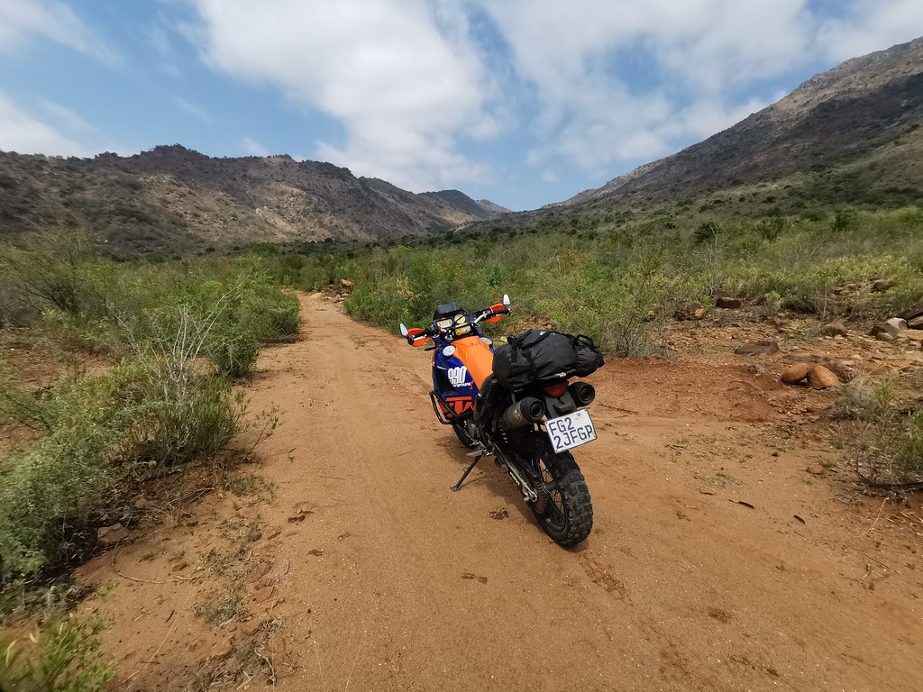
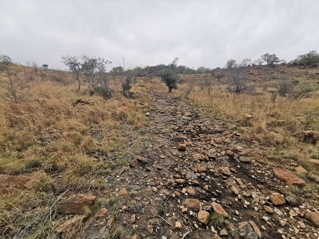
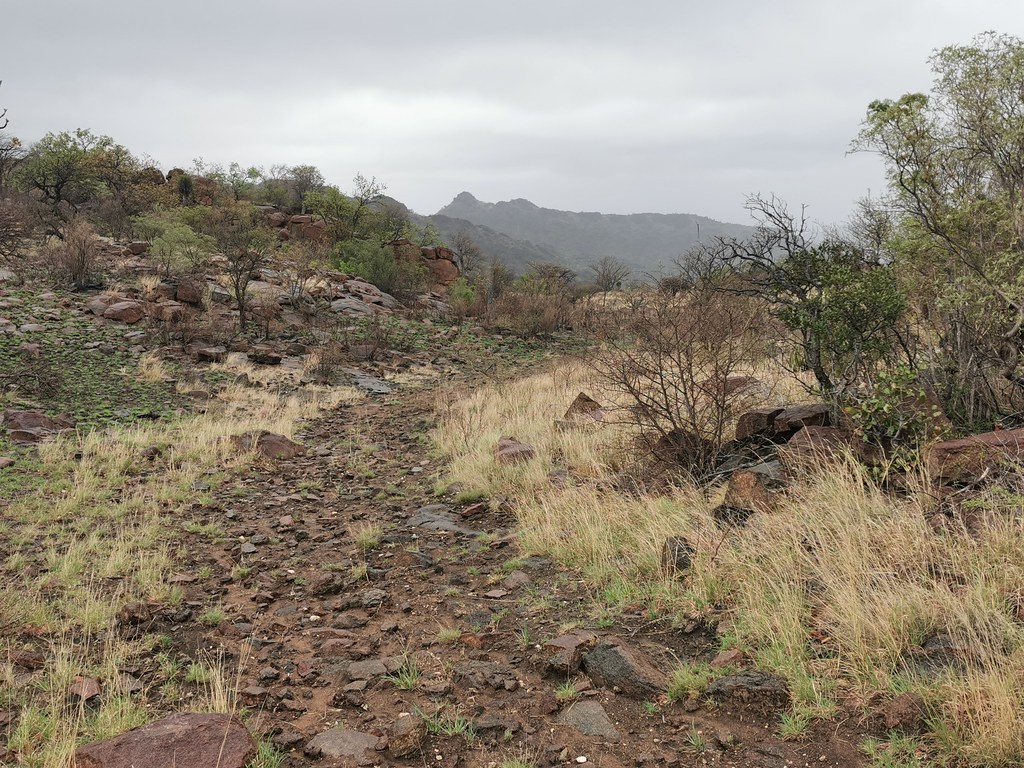
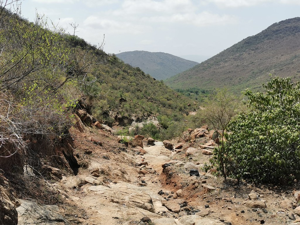
The alternative route seemed much more promissing - at least it was clearly a road, though not much used and badly washed up in places:
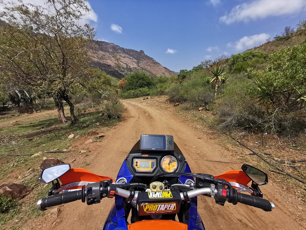
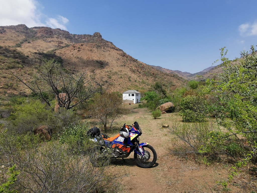
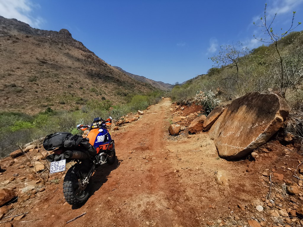
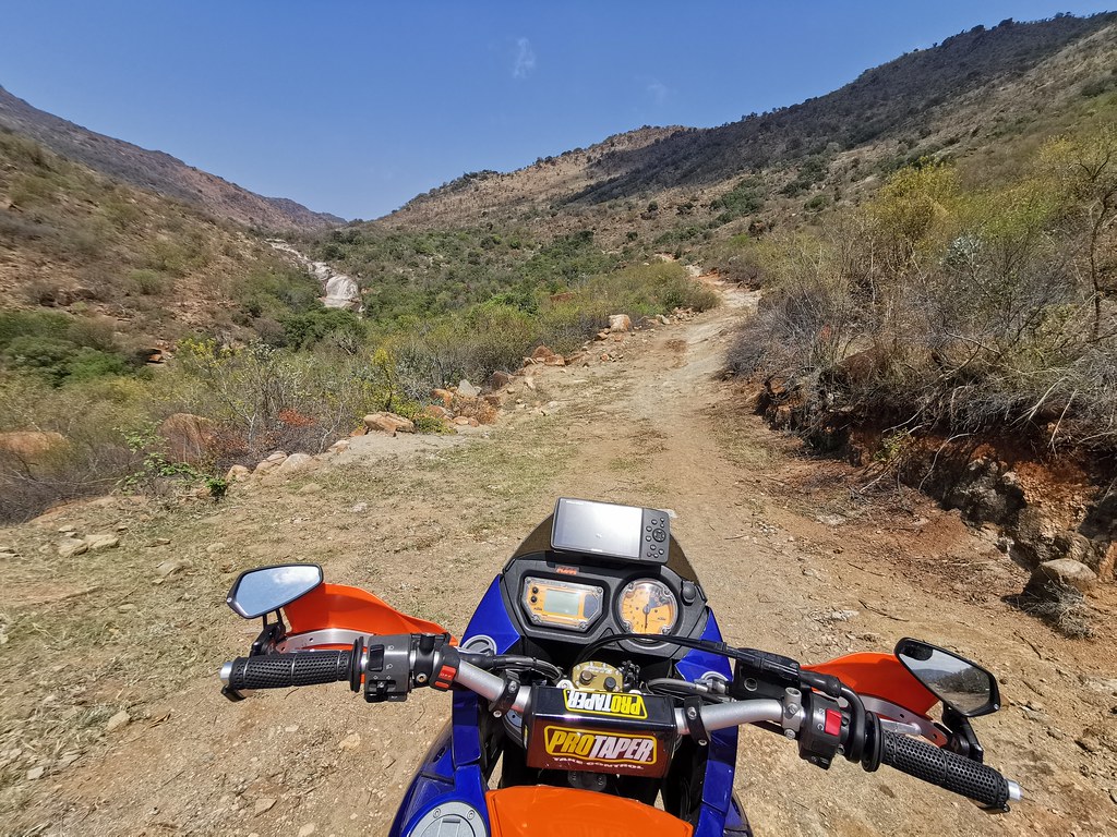
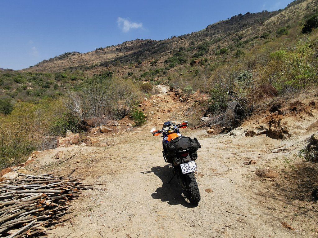
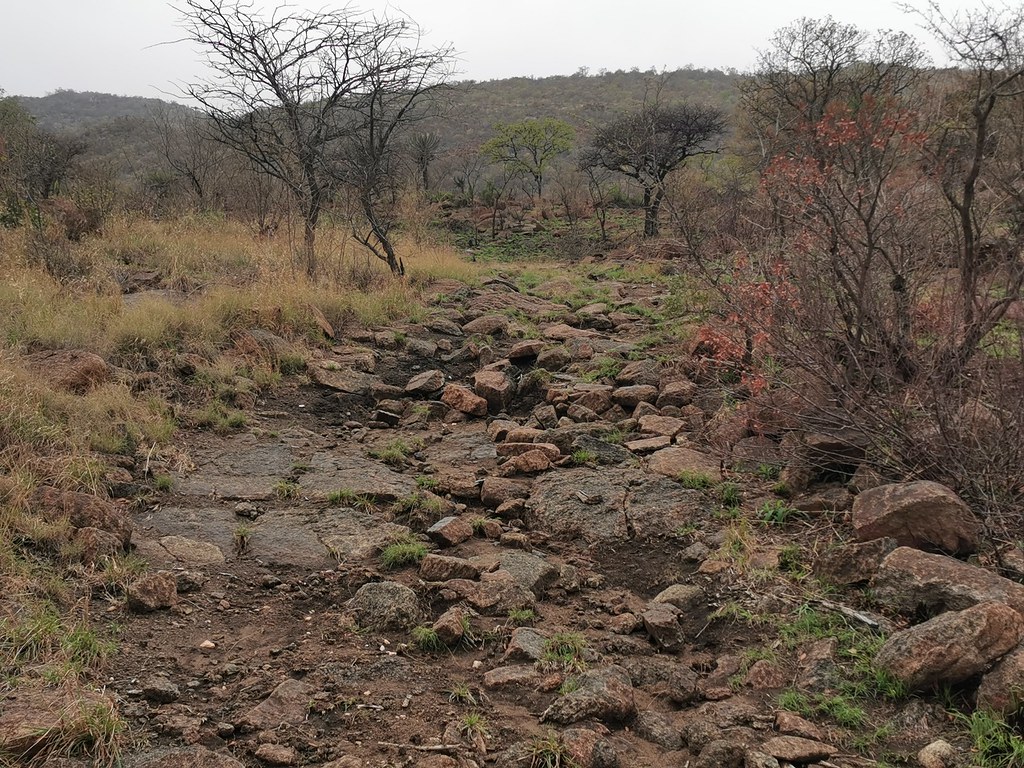
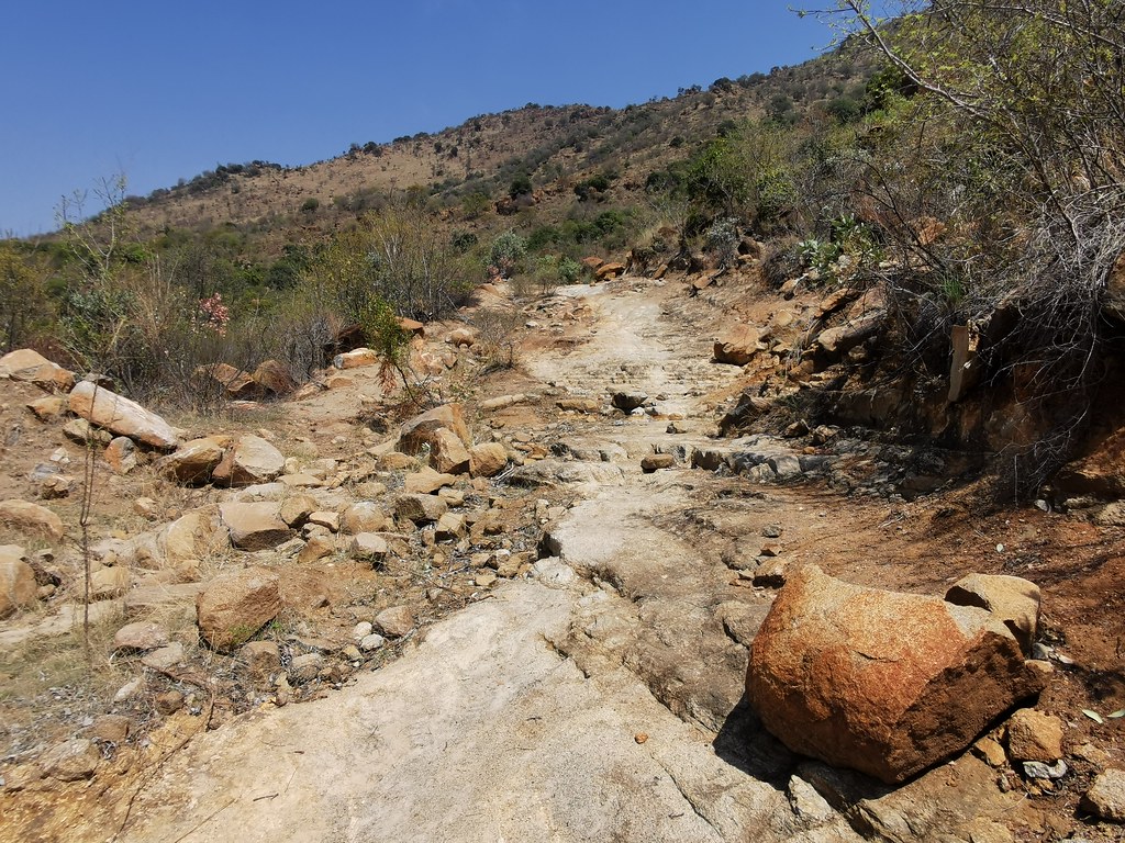
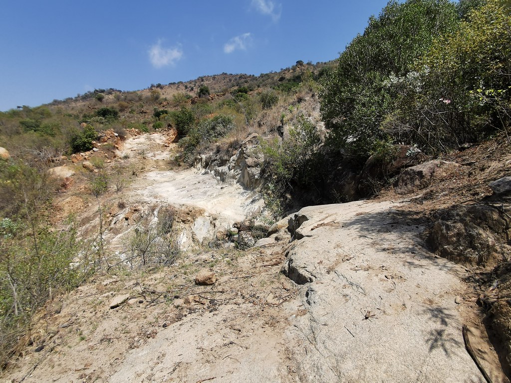
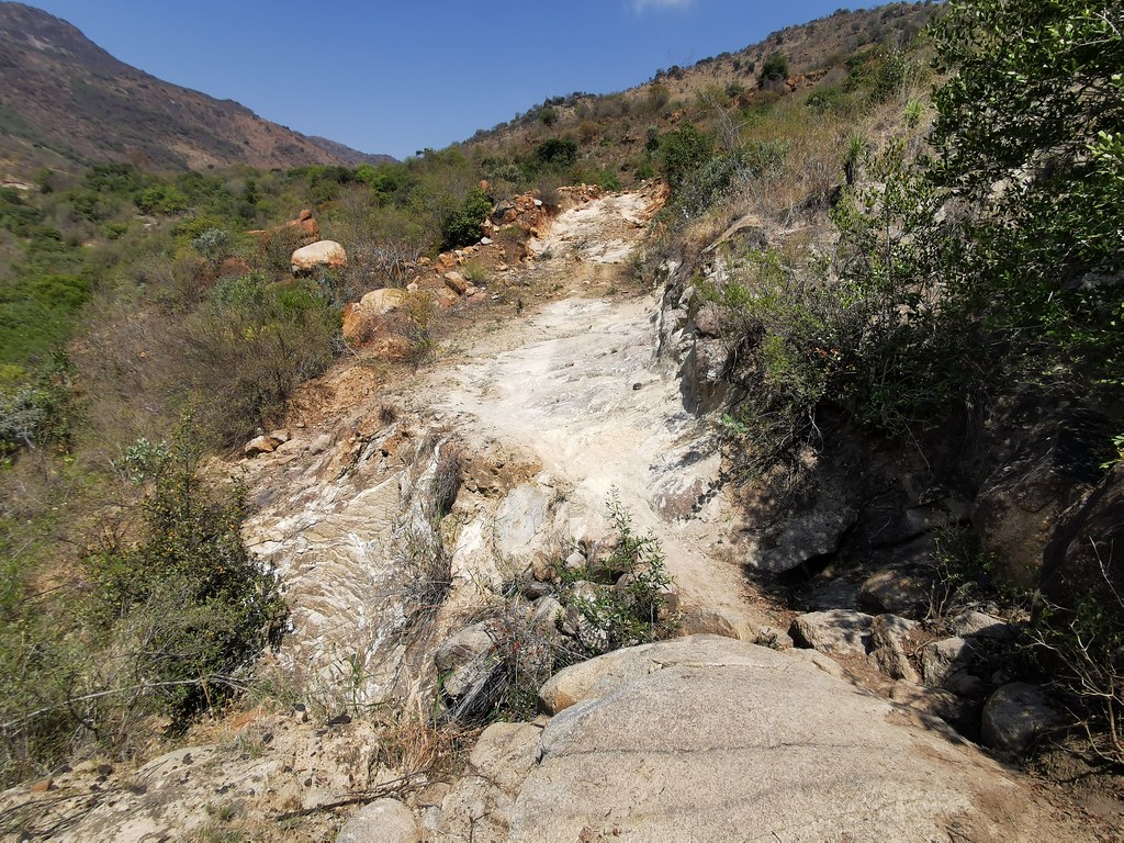
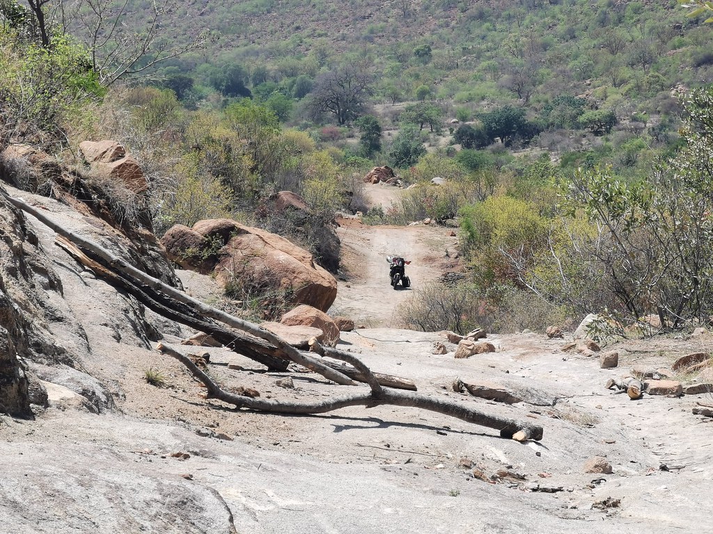
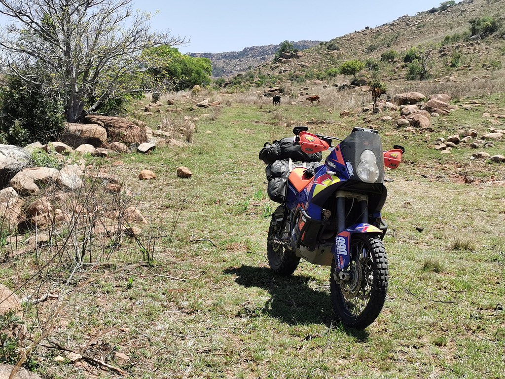
I came upon first gnarlier bit. Being on my own on big heavy hippo I always first walk the tougher bit to assess if it is worth trying rather than just hitting it point blank - as even turning that ***** in tight gnarly spot even without falling is massive backbreaking exercise. Usually I'm not worried about the bit I see, but I'm curious what is behind it so I don't go through the effort of cleaning tight spot, just to be turned back around the corner by massive washout. I spend a lot of my morning walking about...
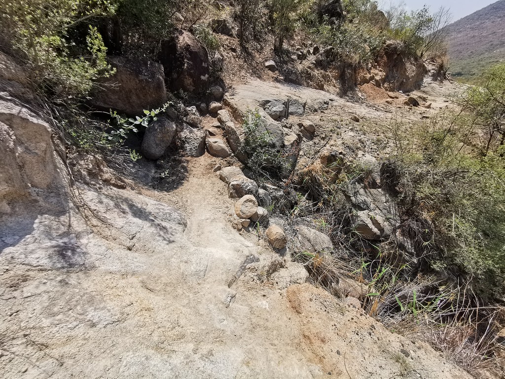
Which paid off this time. The section I went to check was challenging, but doable, so was the next one, but then I came to the place where most of the road was washed out into 2 meter deep ditch and there was just narrow pat along the cliff across 3 massive boulders. If in a group one could carry the bikes over, but on my own, no chance. I checked few 100 meters further on to see what is up there (as I will be back on 500 and information is massive capital in these kind of explorations) - few quite gnarly bits but doable even on 990, but no way to get there across the washout.
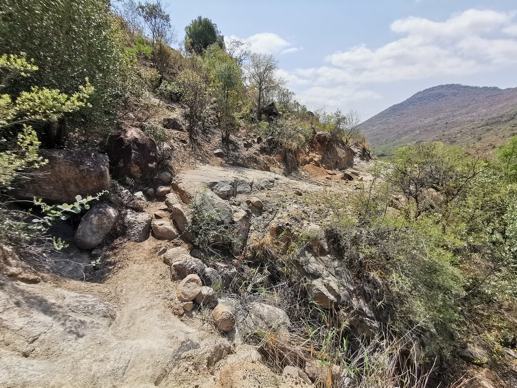
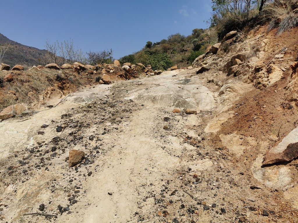
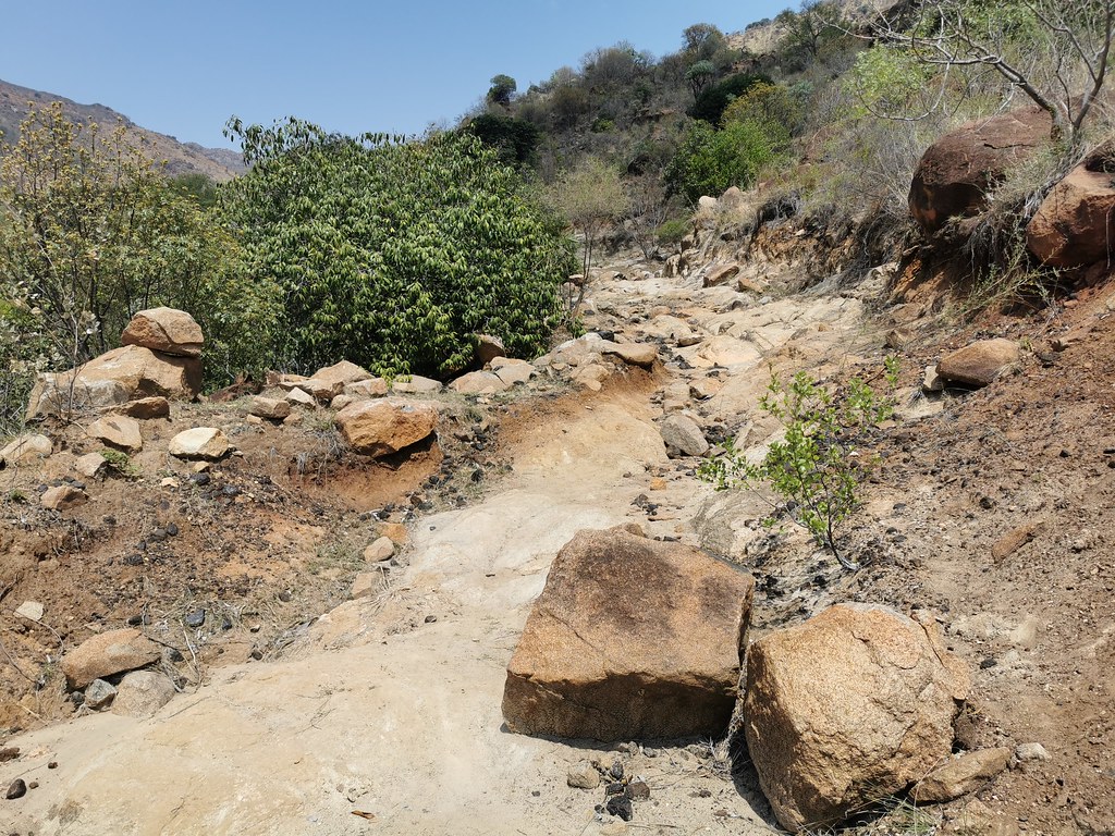
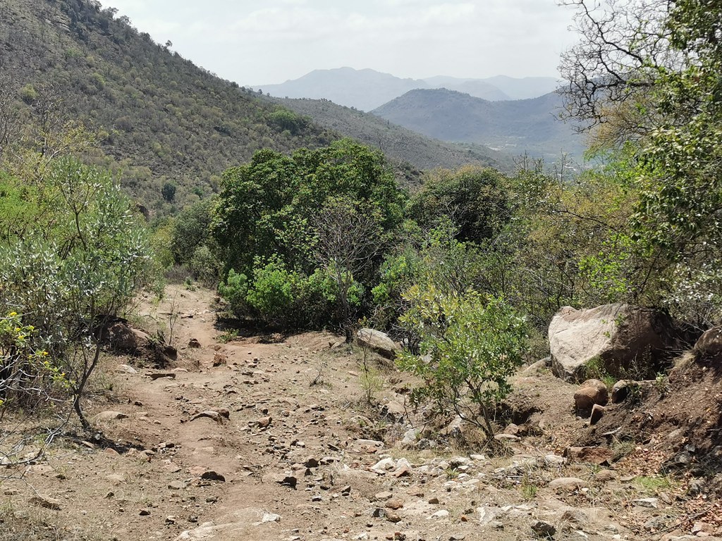
This weekend I went back to where I left off last week - to explore the mountains north of Steelpoort. Last week I got the taste of northern corner that reminded me of Kaokoland, this week I wanted to explore from the south upwards, ideally connecting to the section I did last week. That would give me a route across the whole 50 - 60 km range.
So on Friday evening I gunned it on tar to Steelpoort where I crashed in the rowdy Jorge's resort - a contractor accommodation place, which was still full of contractors elated that the weekend was close, with all the attendant ruccus. So I went to bed relatively late, which was a cause of relative late start next morning - not ideal considering the temperatures were already around 30 by 9 am.
I set off and hit straight away what I expected to be the toughest bit. Getting to the top of the steep mountains starting just to the north west of the town in satellite township. I knew from satellite images that the terrain will be steep - indeed it remindd me of Lesotho, hence title of this ride. I found a route shown by Google, that traversed the steepest slopes upwards. I was suspicious, as I couldn't really see the track on the satellite images, so I plotted alternative route in the next valley that I could actually see.
First I tried the Google route and as expected I came to a dead end. I found out later when I got to the top that there really was road there some time ago, but now is so badly erroded that it is basically non-existent. Attemptable on 500, but no way on the 990.

The alternative route seemed much more promissing - at least it was clearly a road, though not much used and badly washed up in places:


I came upon first gnarlier bit. Being on my own on big heavy hippo I always first walk the tougher bit to assess if it is worth trying rather than just hitting it point blank - as even turning that ***** in tight gnarly spot even without falling is massive backbreaking exercise. Usually I'm not worried about the bit I see, but I'm curious what is behind it so I don't go through the effort of cleaning tight spot, just to be turned back around the corner by massive washout. I spend a lot of my morning walking about...
Which paid off this time. The section I went to check was challenging, but doable, so was the next one, but then I came to the place where most of the road was washed out into 2 meter deep ditch and there was just narrow pat along the cliff across 3 massive boulders. If in a group one could carry the bikes over, but on my own, no chance. I checked few 100 meters further on to see what is up there (as I will be back on 500 and information is massive capital in these kind of explorations) - few quite gnarly bits but doable even on 990, but no way to get there across the washout.


Clockwork Orange said:Loving these trips you are sharing with us. It seems you use satelite imagery a lot for your route planning. Do you then check these tracks against T4A or similar? How else do you know if its private land etc? ABSOLUTELY NO criticism, I love the way you go about your exploration, I am just trying to learn from you.
I don't use T4A for planning. I mean I have them on GPS and in Basecamp as background, but I use satellite images and routes on Googlemaps to plot my routes.
The trick to find public land is easy: I'm looking mostly in tribal lands - former homelands being prime target for best riding or at the frontiers - generally along the borders and places where nobody goes are your best bet. Occassionally I run into private land and have to backtrack, but if you start in the right area, your chances of success are multiplied. You can also judge whether the land is public or private to an extent from satellite images. Nicely regimented civilzed country with right angles - private land. While tribal / public land is indicated by chaotic settlements and criscrossings of little tracks.
That is why best adv riding around iis in places like Botswana, Moz, Lesotho and Swaziland, much much less so in Namibia (apart from Bushmanland and possibly Ovamboland), and in SA here up north and east where homelands used to be. There is zero potential for proper exploratory adv riding for example in Western Cape which is one big private property essentially.
So I walked back to the bike, turned around and took long way around on tar and dirt to the back of the mountain and to the top of these tracks to check them from the other side.
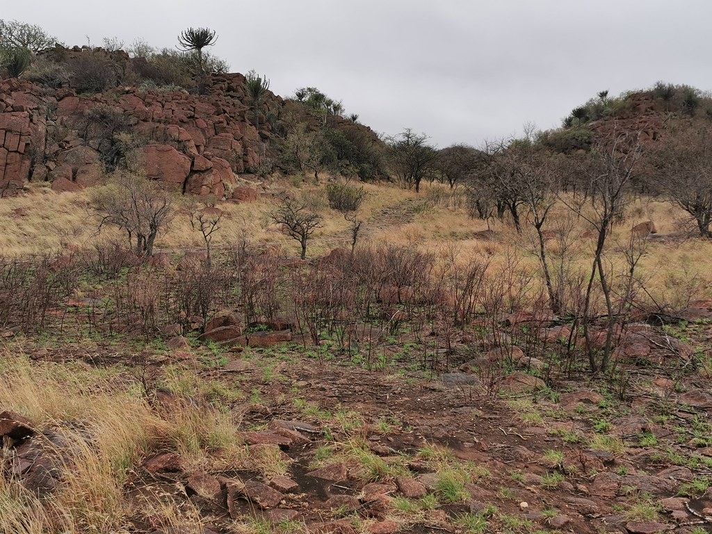
The googlemaps one was there to my surprise (as I couldn't find any trace of it at the bottom), but not really - it was so badly washed out that absolutely out of question on adv bike. I might give it a try on 500 though, if I can find at the bottom where it starts...
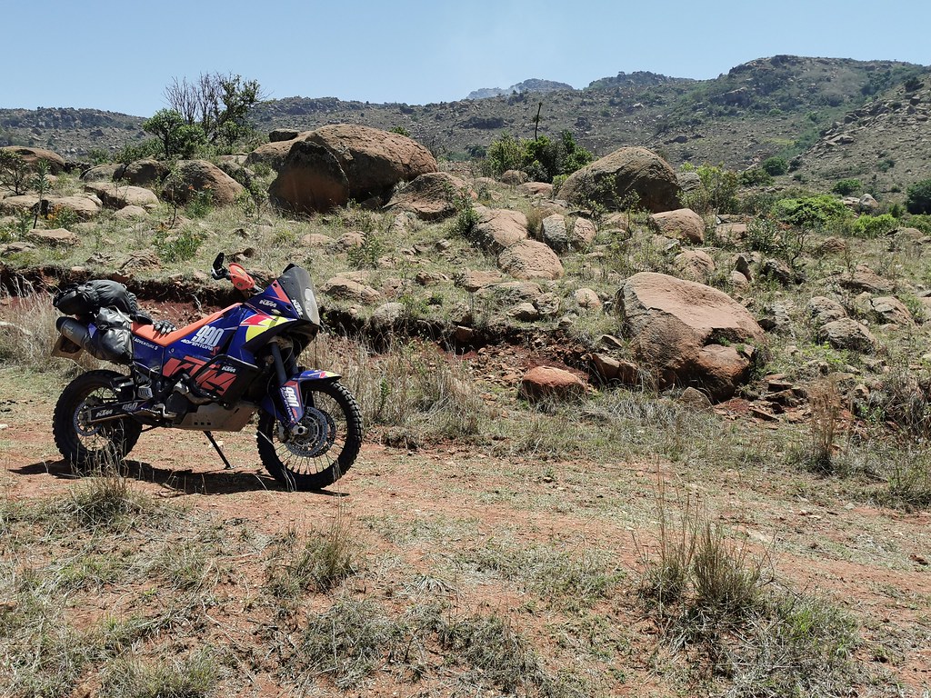
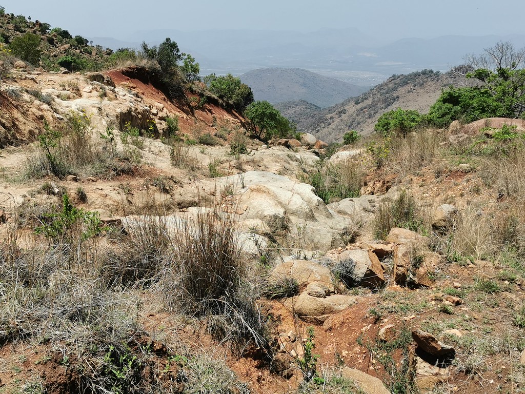
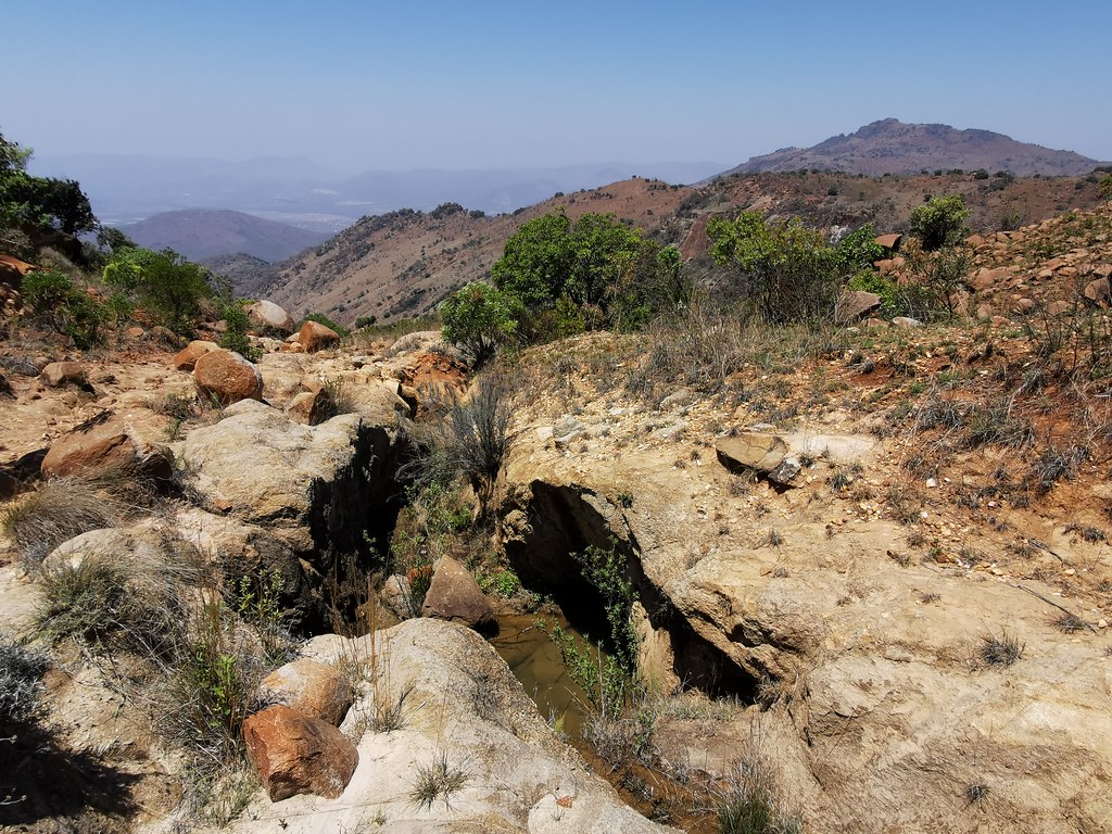
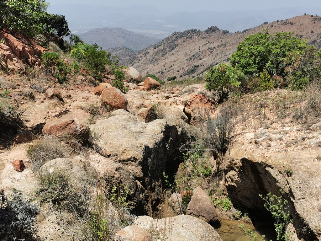
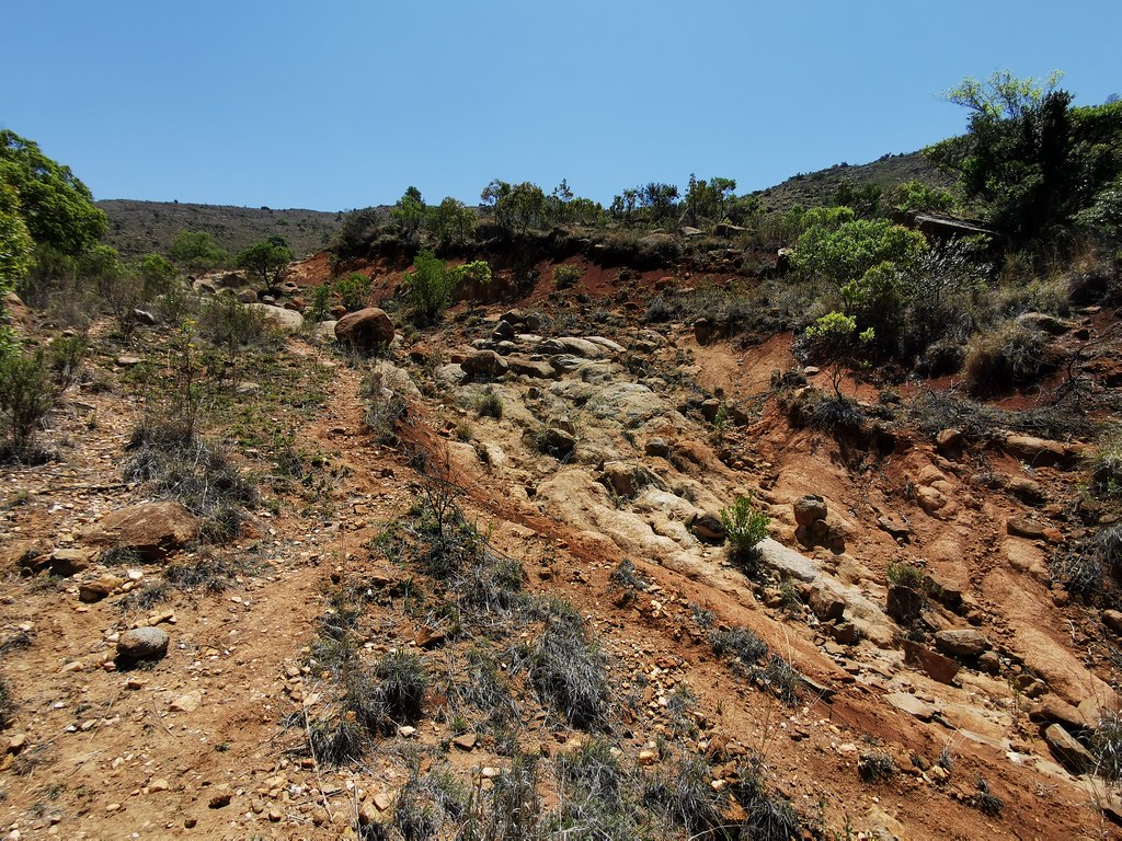
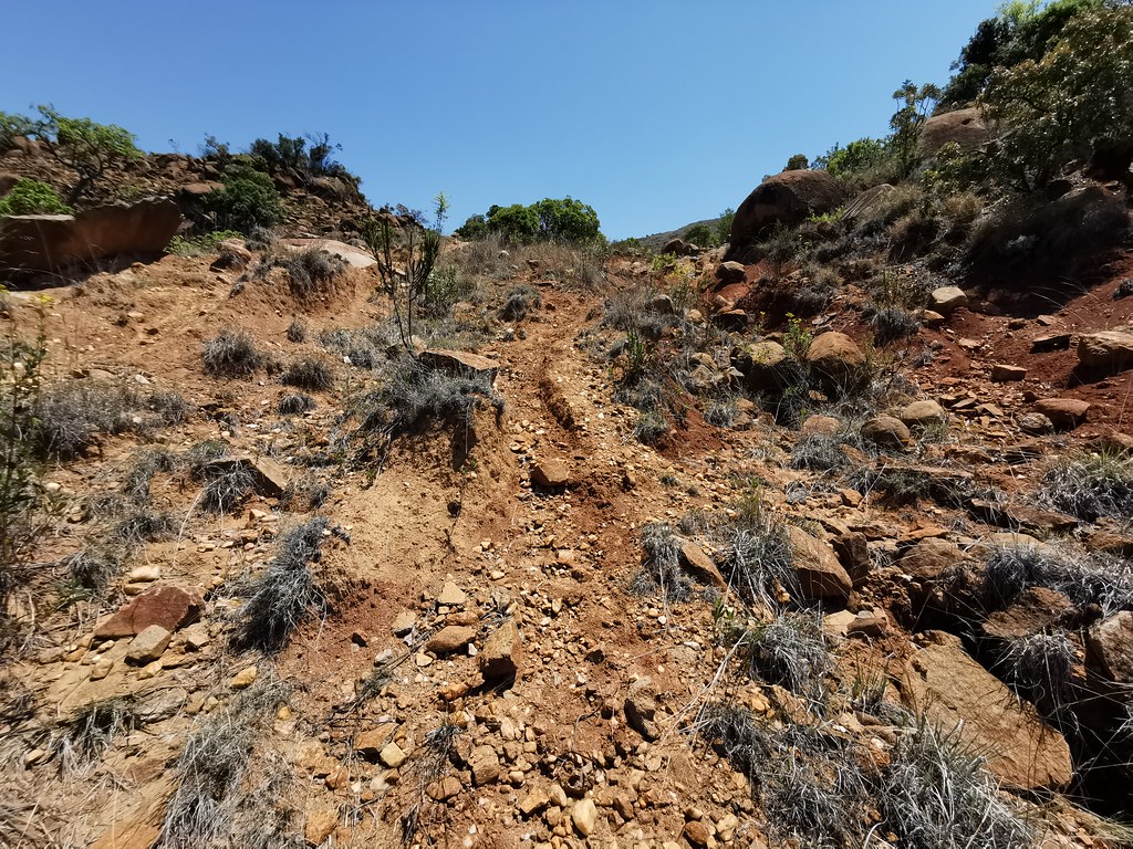
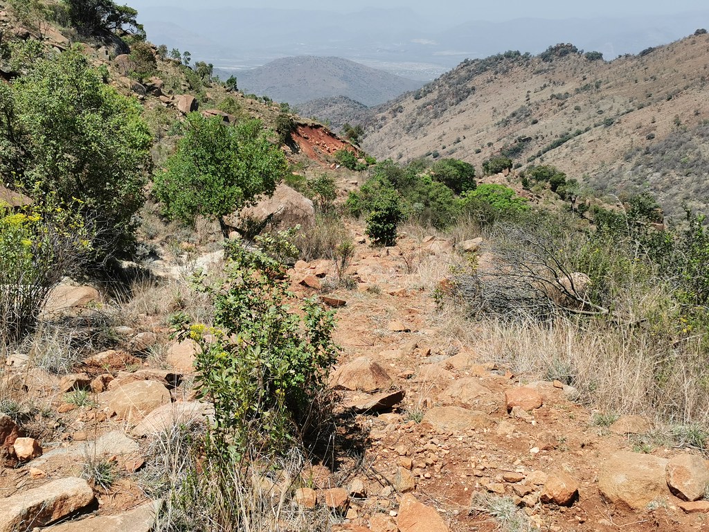
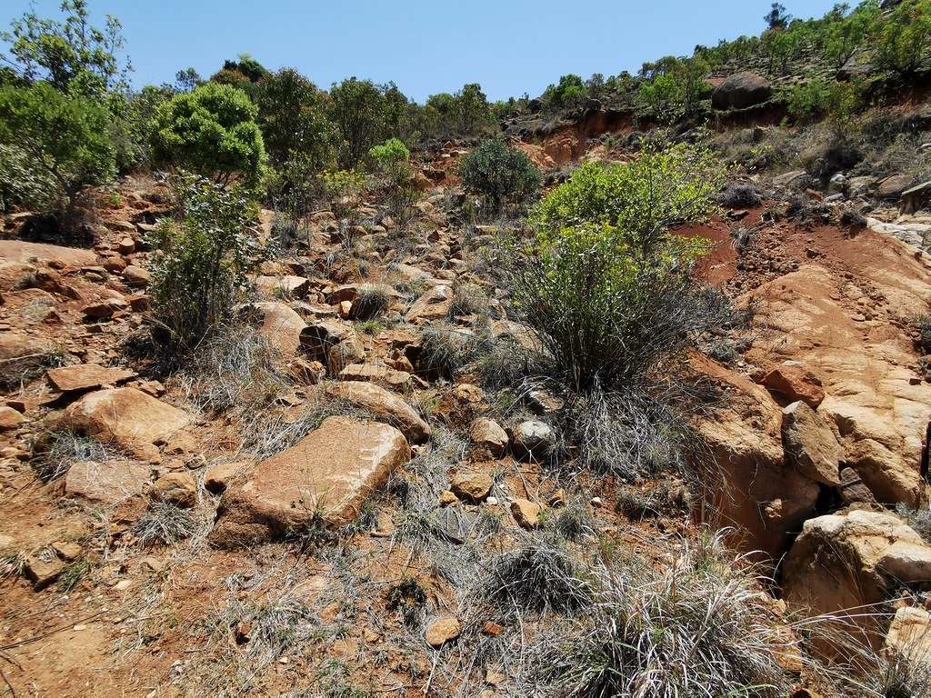
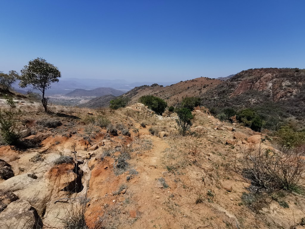
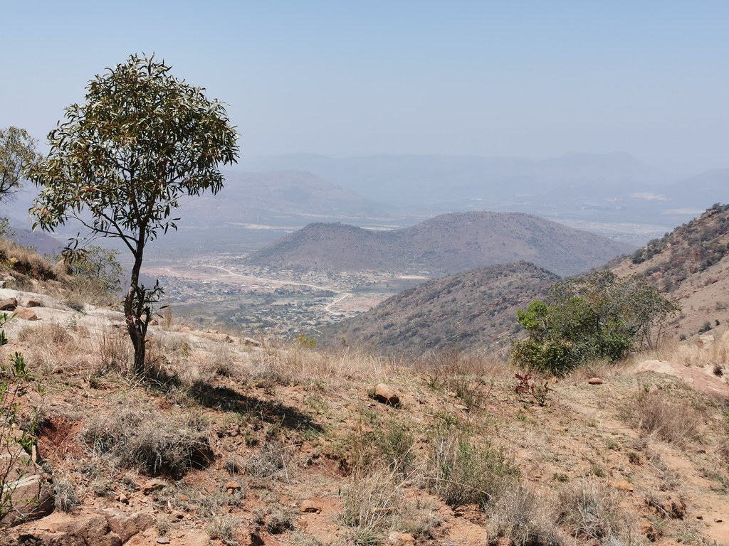
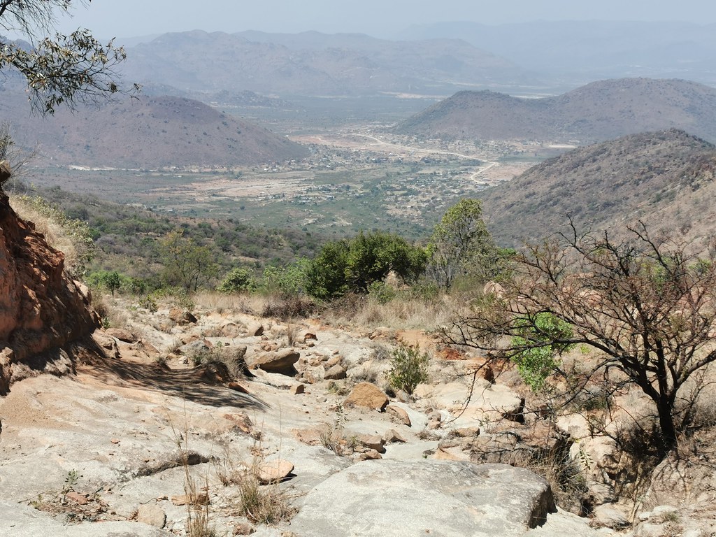
Then I went to check the other one and that one seems much more manageable, but it was almost noon, about 40 degrees so I decided to leave that one for next visit and headed up the mountains on the dirt highway to make up some time.
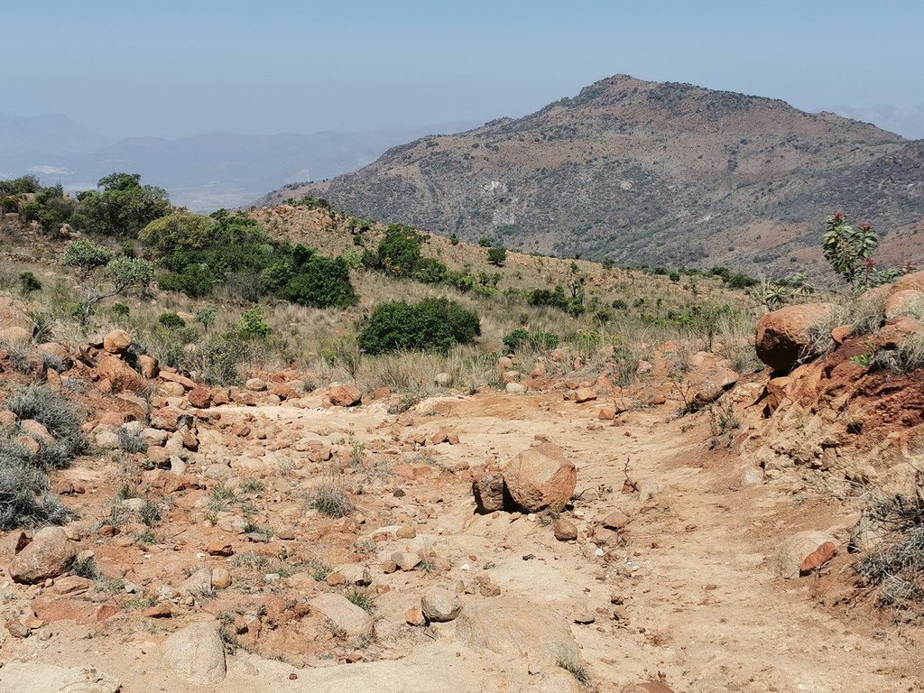
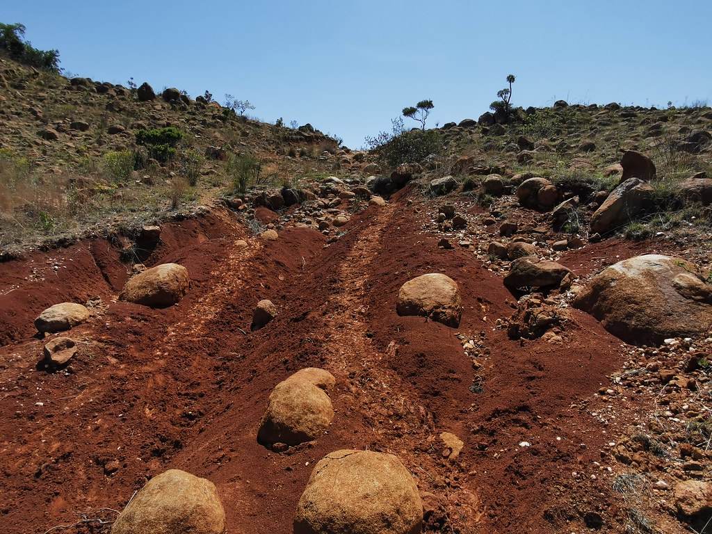
The googlemaps one was there to my surprise (as I couldn't find any trace of it at the bottom), but not really - it was so badly washed out that absolutely out of question on adv bike. I might give it a try on 500 though, if I can find at the bottom where it starts...


Then I went to check the other one and that one seems much more manageable, but it was almost noon, about 40 degrees so I decided to leave that one for next visit and headed up the mountains on the dirt highway to make up some time.


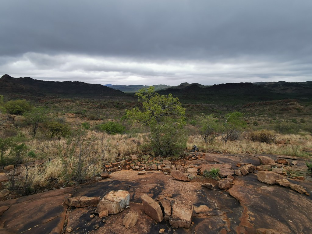
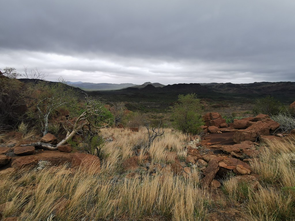
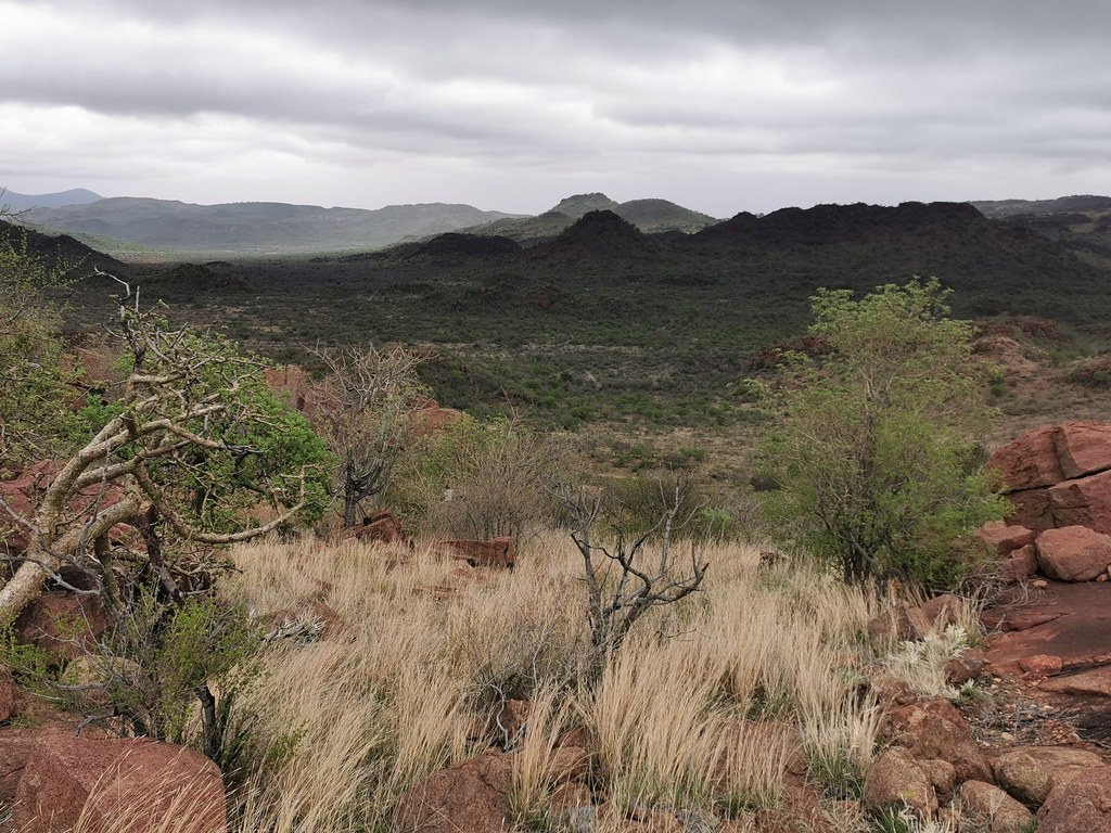
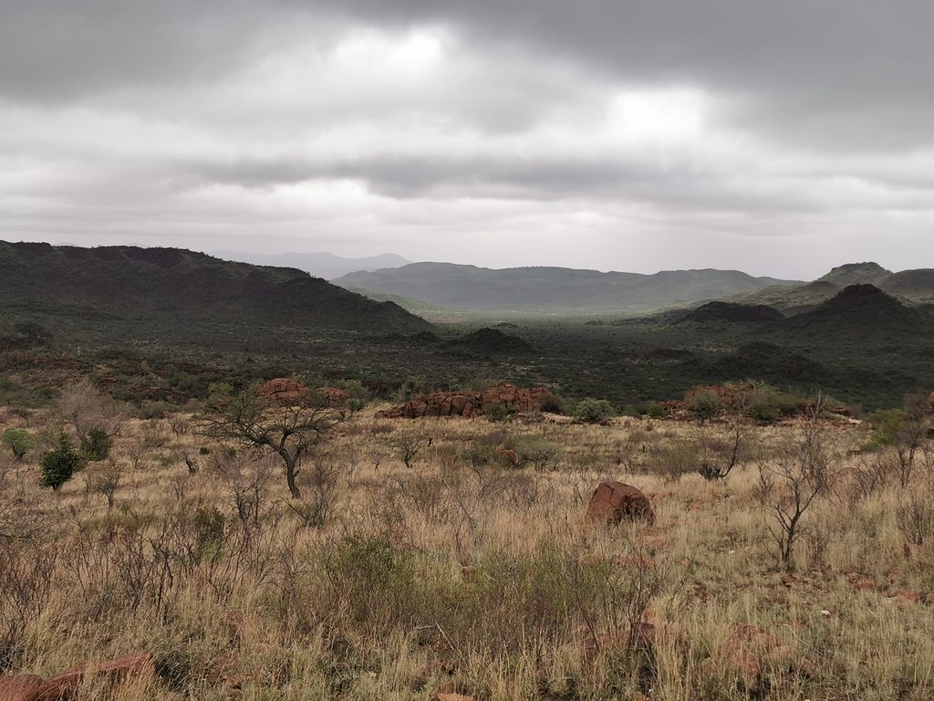
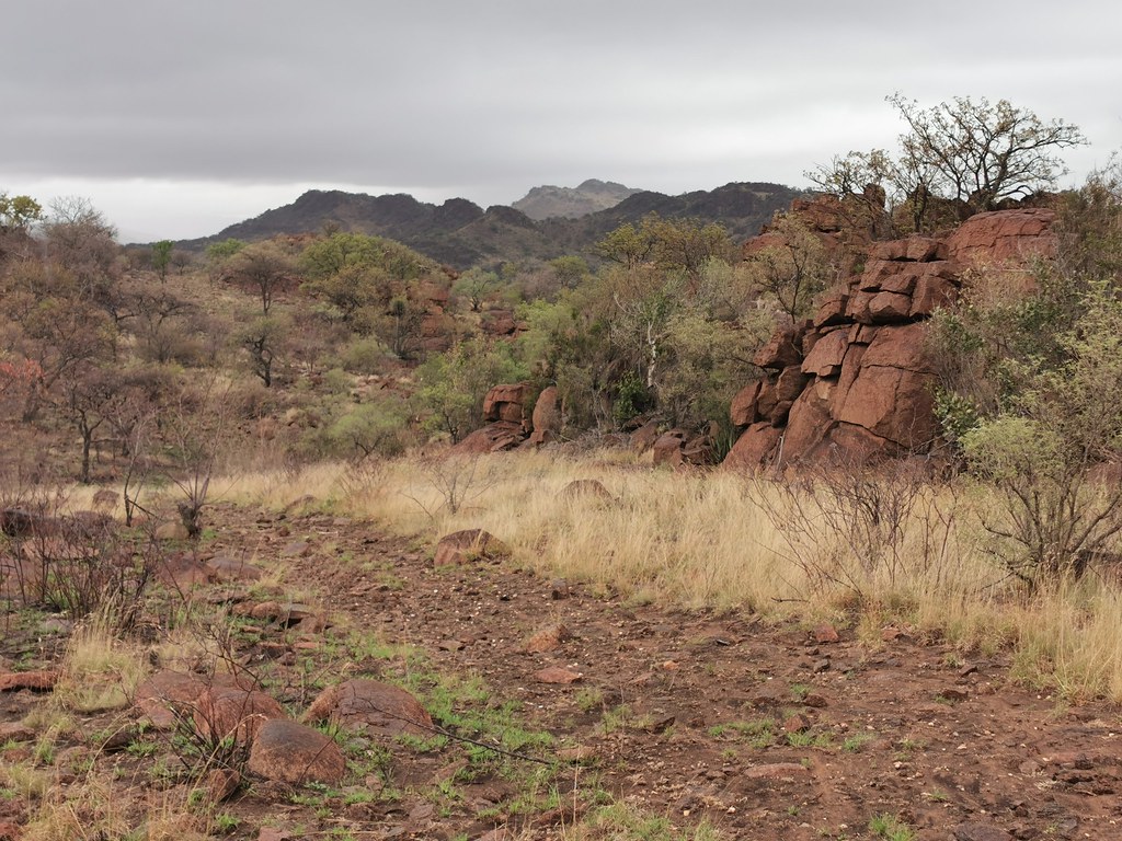
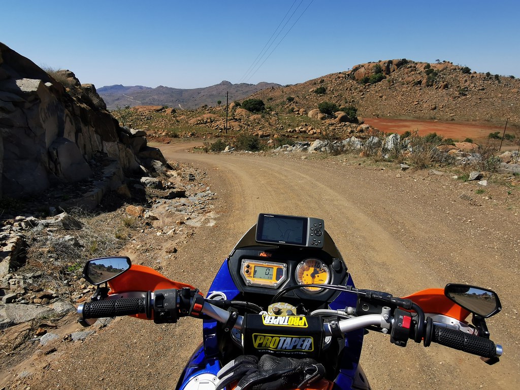
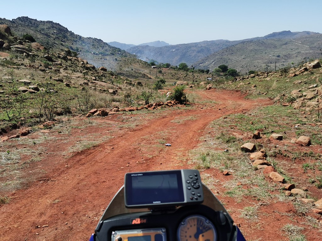
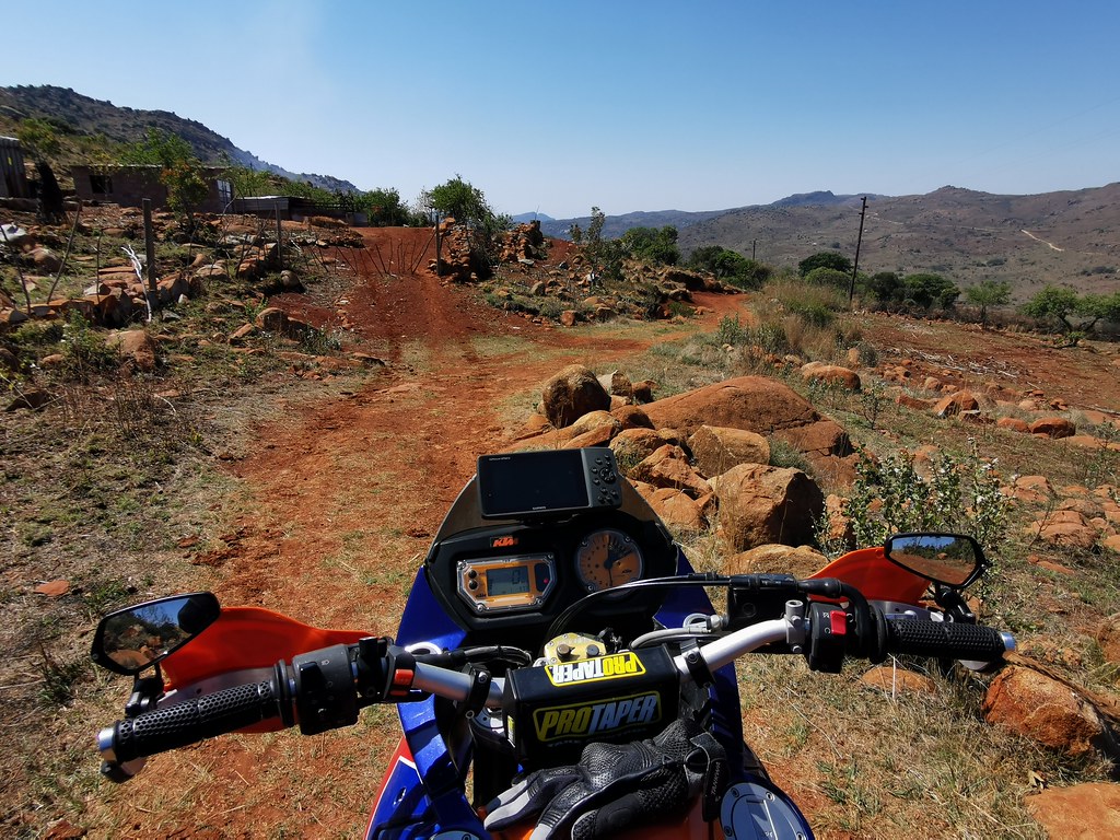
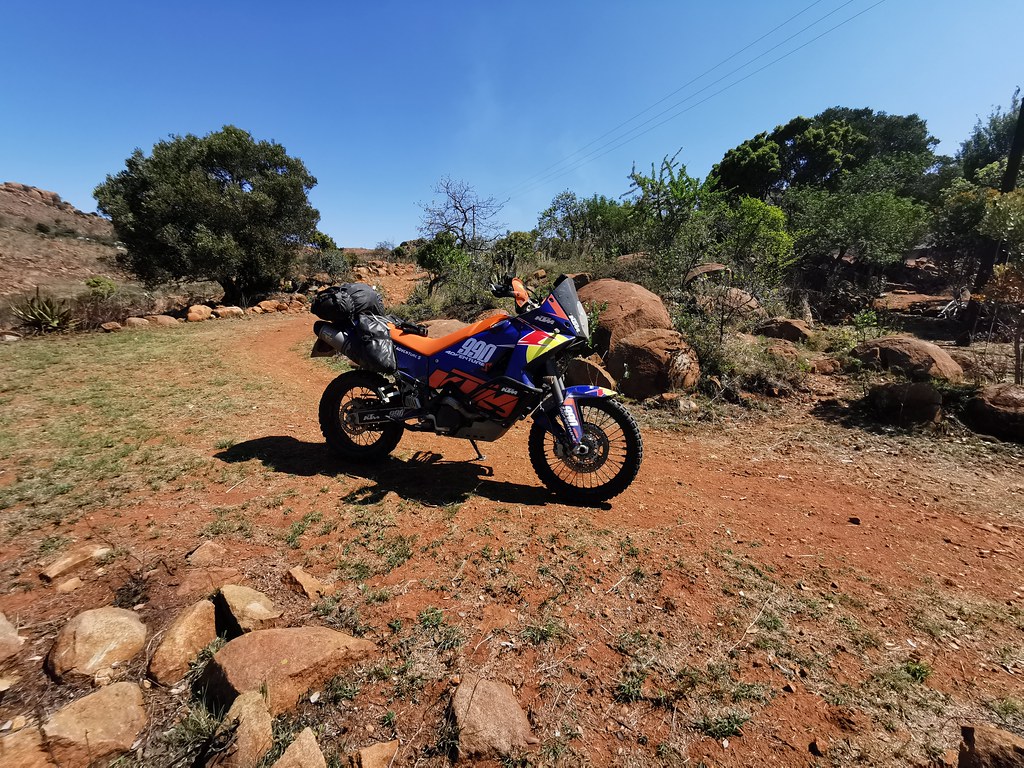
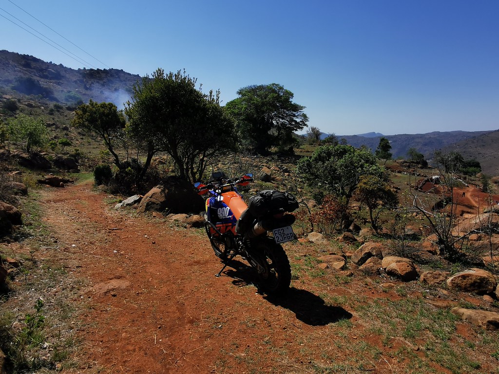
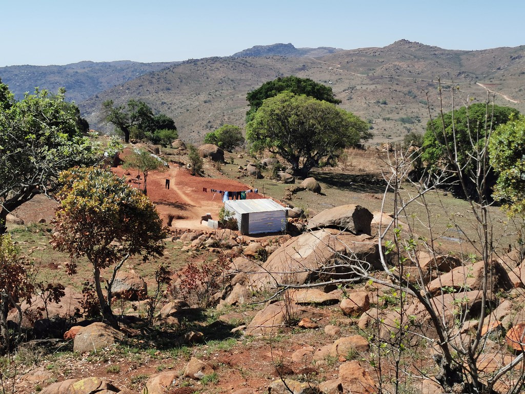
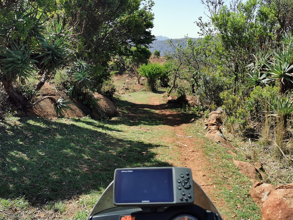
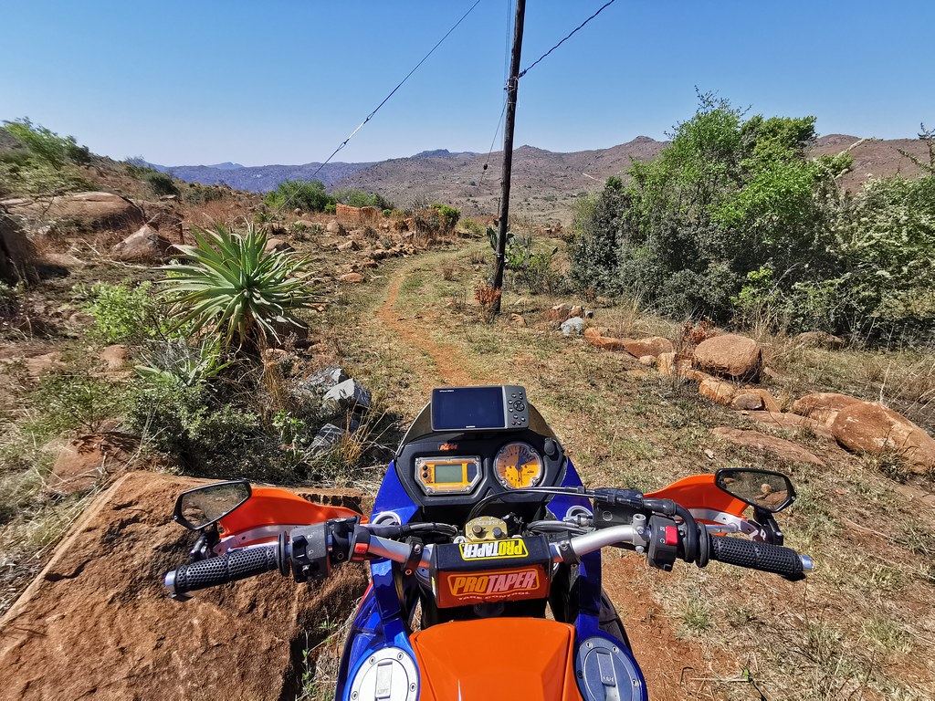
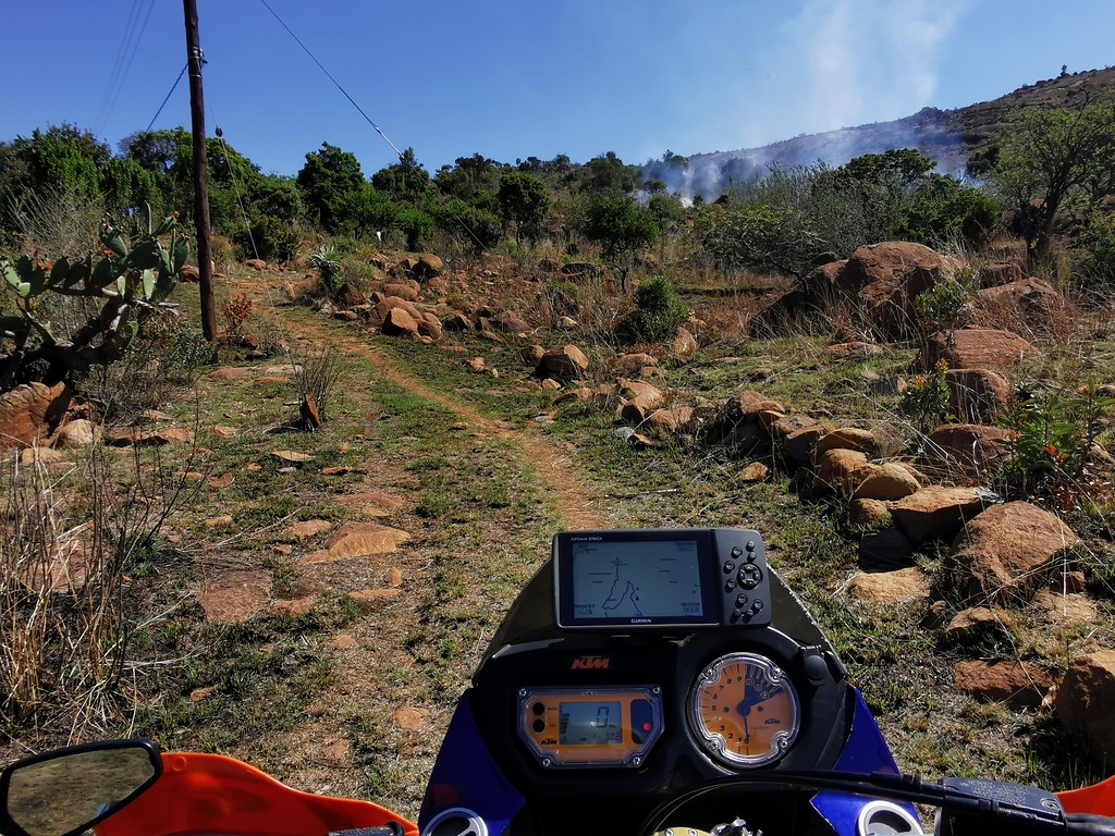
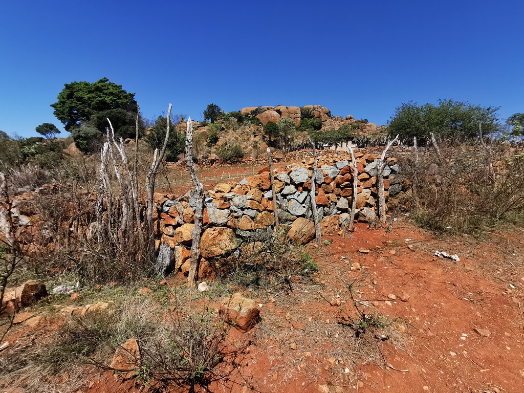
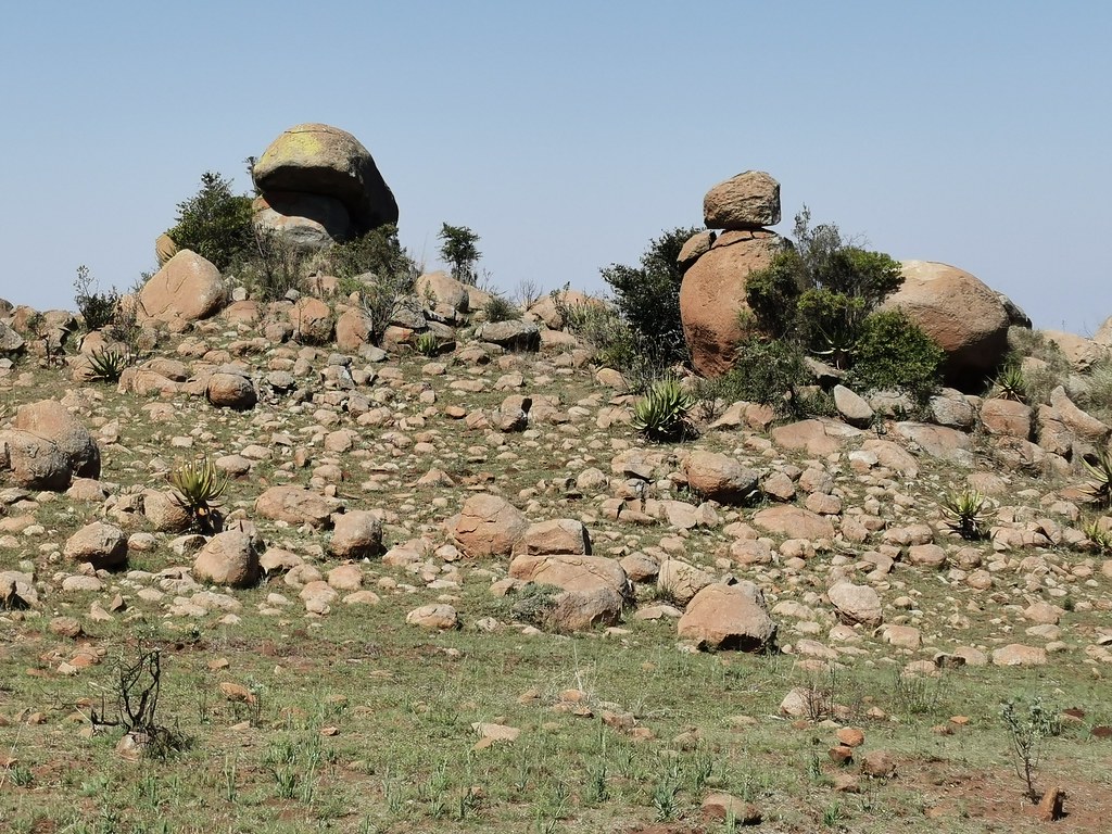
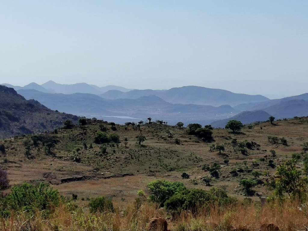
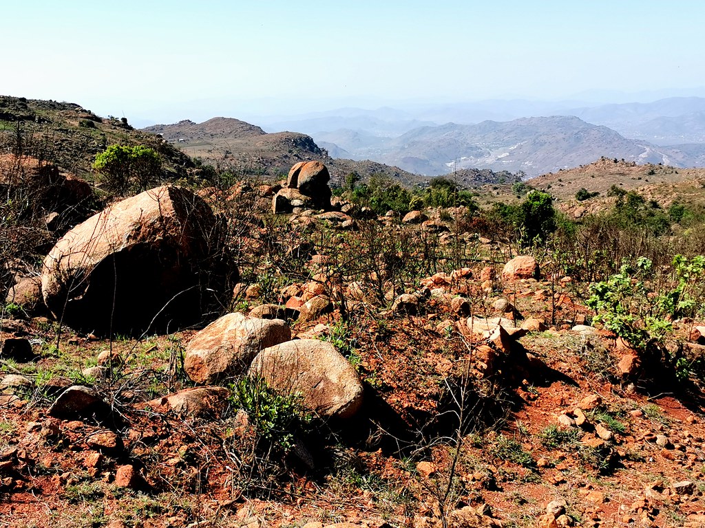
I hit the dirt highway meandering on top of the range with majestic views to the valleys on both sides. This again reminded to cruising on dirt roads in Lesotho. Should I have made it up one of those gnarly passes, this would have been nice rest before I hit next gnarly bit, but I was still hungry for gnarlier riding so I just pushed on fast to get to the other end where I expected more juicy stuff again:


Clockwork Orange
Race Dog
- Joined
- May 22, 2006
- Messages
- 2,775
- Reaction score
- 106
- Location
- United Kingdom
- Bike
- KTM 990 Adventure
Thanks for that explanation[emoji106]Xpat said:Clockwork Orange said:Loving these trips you are sharing with us. It seems you use satelite imagery a lot for your route planning. Do you then check these tracks against T4A or similar? How else do you know if its private land etc? ABSOLUTELY NO criticism, I love the way you go about your exploration, I am just trying to learn from you.
I don't use T4A for planning. I mean I have them on GPS and in Basecamp as background, but I use satellite images and routes on Googlemaps to plot my routes.
The trick to find public land is easy: I'm looking mostly in tribal lands - former homelands being prime target for best riding or at the frontiers - generally along the borders and places where nobody goes are your best bet. Occassionally I run into private land and have to backtrack, but if you start in the right area, your chances of success are multiplied. You can also judge whether the land is public or private to an extent from satellite images. Nicely regimented civilzed country with right angles - private land. While tribal / public land is indicated by chaotic settlements and criscrossings of little tracks.
That is why best adv riding around iis in places like Botswana, Moz, Lesotho and Swaziland, much much less so in Namibia (apart from Bushmanland and possibly Ovamboland), and in SA here up north and east where homelands used to be. There is zero potential for proper exploratory adv riding for example in Western Cape which is one big private property essentially.
Sent from my iPhone using Tapatalk


