witblitz
Pack Dog
A colleague informs me of the long weekend at the end of April and it is not school holidays, which sounds good. So with several days in lieu, I get some time off approved and 2 weeks to prep a trip.
I have wanted to ride the West Coast and Namawka 4x4 route for several years. Speak to my dad but he can’t join me as he heading to Joburg for SA athletics for my sister, so my trip turns to a solo ride.
Using Google Earth, Google Maps, and the online version of t4a, I sort of plan a route with approximate distances between fuels stations. My only real focus for the trip is the West Coast stretch and the Namakwa 4x4 trail. The rest I am flexible with. My bike is generally always ready to ride, but I just need to fit the Safari tank for the extra range. Get some odds and ends before I leave. Sign a promotion letter in the week leading up to my holiday. Life is good.
Day 0
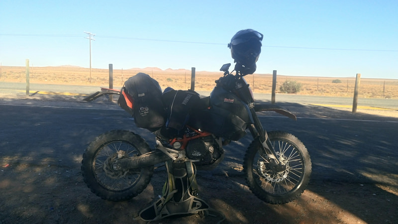
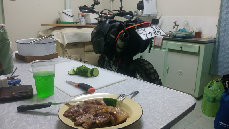
Sort of pack the bike the Friday at home. I do not have a clear packing list in my mind, so dump some things in a duffle bag to drag along. Bike on the bakkie and I head up to the family farm on the Friday. The bike sleeps in the kitchen for the night. Still deciding how to pack to try and get the weight distributed evenly on the left and right side of the bike.
Day 1
Route: Mountonshoek -> Graafwater -> Lutzville -> Weskus -> Erens op die berg
The aim for the days is to ride the trails of the West Coast and sleep wherever I get to by the end of the day.
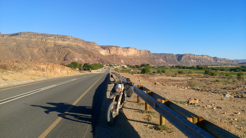
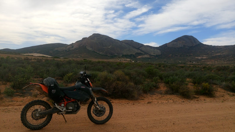
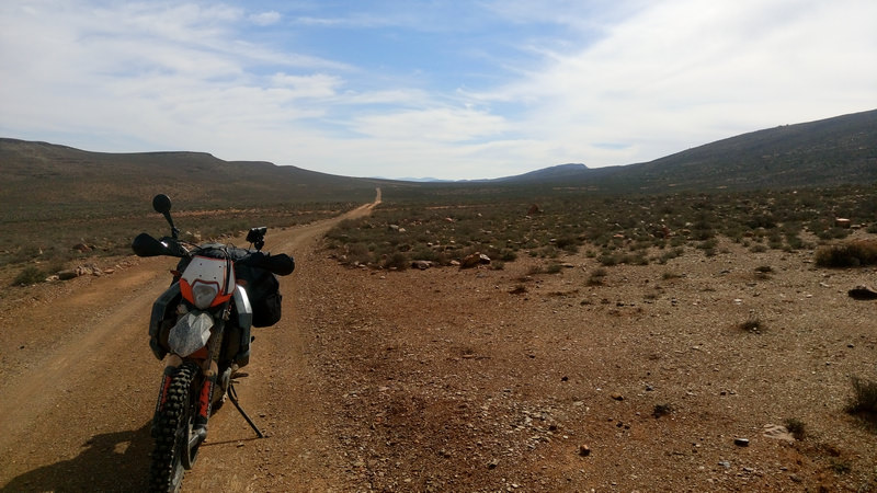
I get going about an hour later due to a slow clock on the wall, but so be it. Riding starts off well, luggage it staying in place over the badly corrugated road.
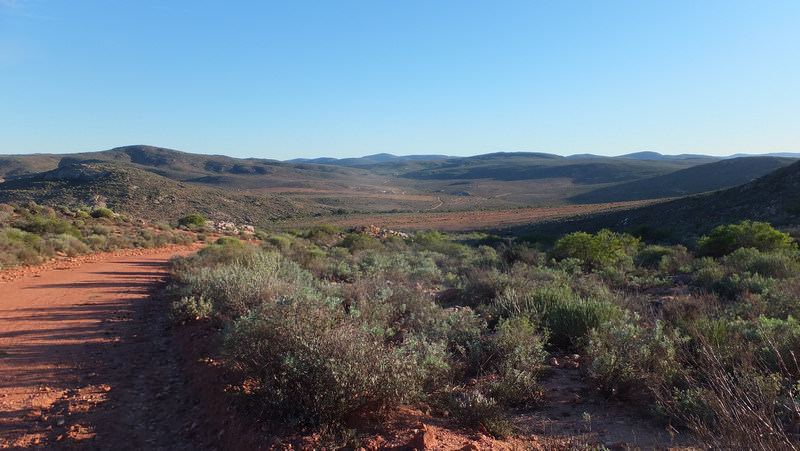
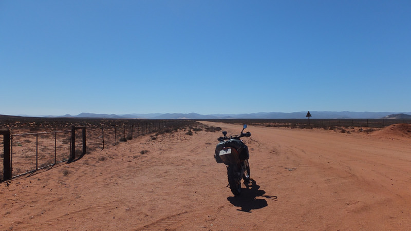
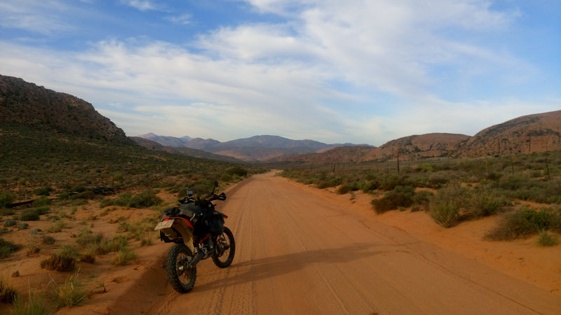
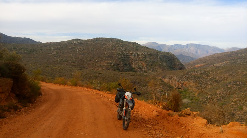
Between Het Kruis and Graafwater.
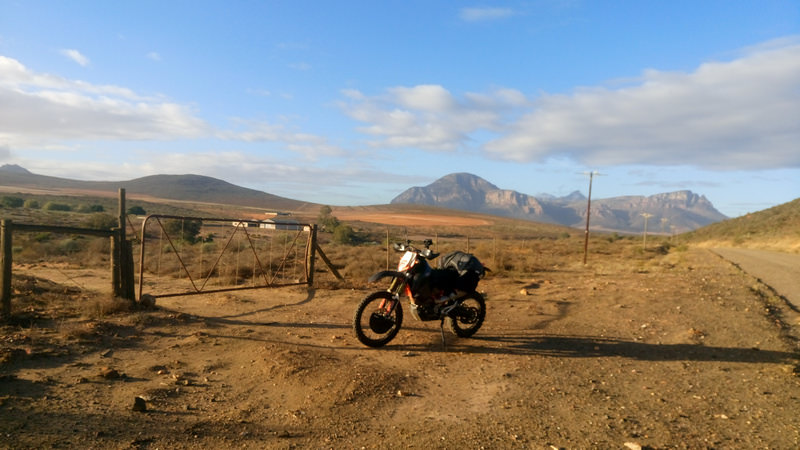
Hit some tar to Lambert’s Bay. Turn north to Doringbaai on a gravel road. Miss the turn off. I took my dad’s GPS along, but only use it occasionally when I feel I need to know where to turn. Otherwise, I just check the road ahead on the GPS, sort of remember key points, switch it off and ride.
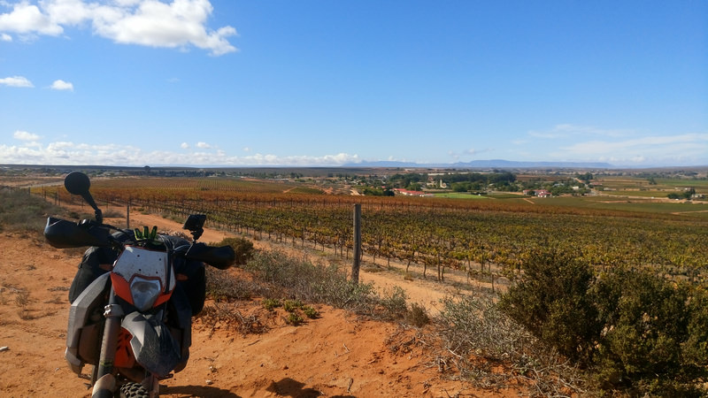
Leaving Lutzville after filling up to the brim.
Turn to the coast and pass a wind farm. A few years ago I attempted a solo trip on the West Coast 4x4 route between Xmas and new year. Along this gravel road, my bag came loose and ended up between the rear fender and wheel. Ended up turning around and heading back to Cape Town. In Lutzville I filled up again and met a family from the northern cape that cut the holiday short due to the heat. I was under prepped for that trip, so perhaps it was a good omen that it went wrong on the first attempt a few years back.
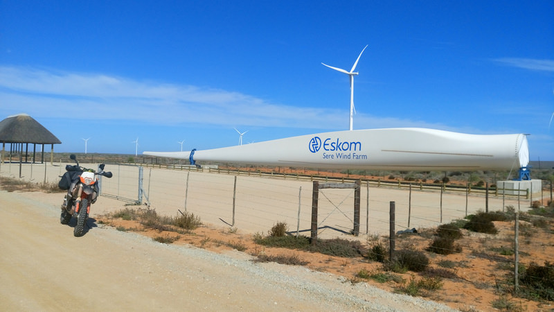
I reach the start of the West Coast 4x4 trail. Open the gate, push the bike through, close the gate, and off I go.
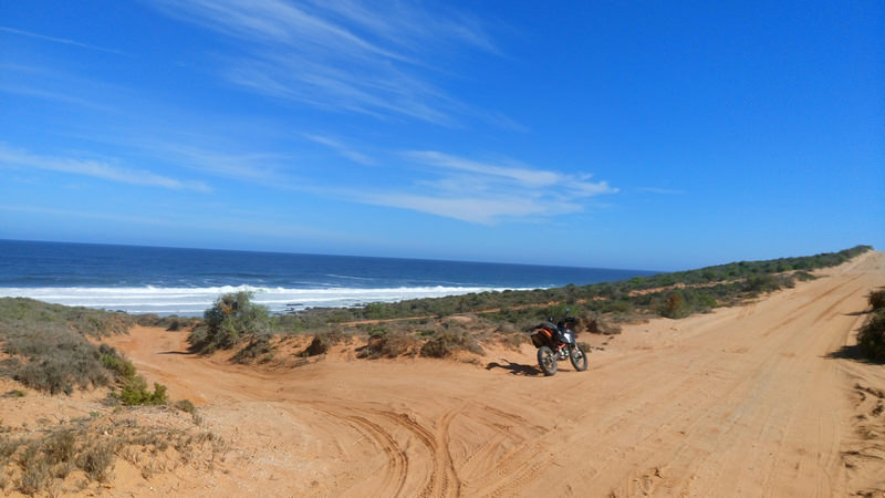
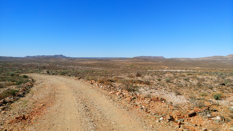
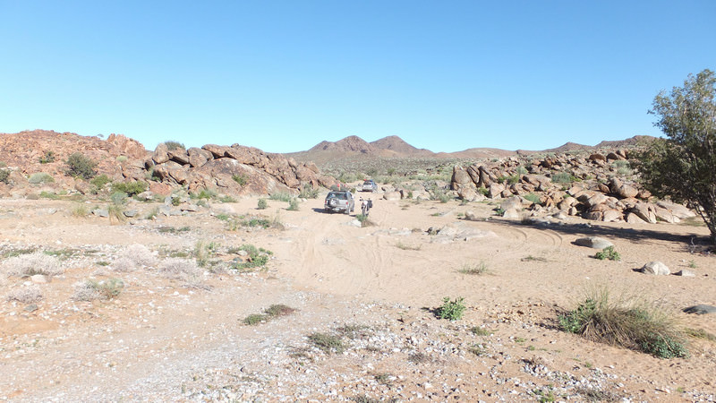
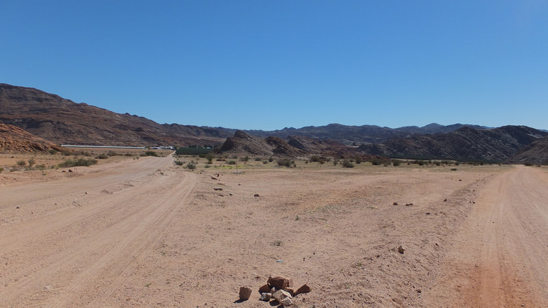
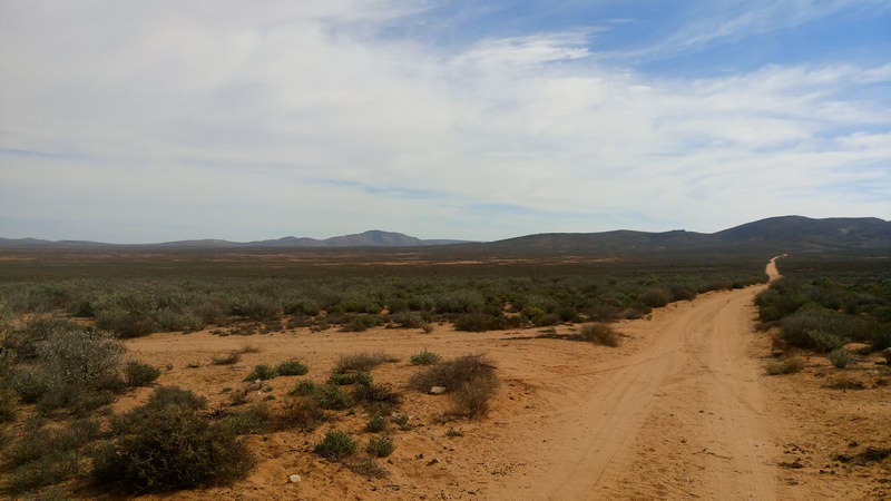
You have the main road, and several sandy and gravel twee spoor paths leading off the main gravel road. Lots of people camping and fishing along the route.
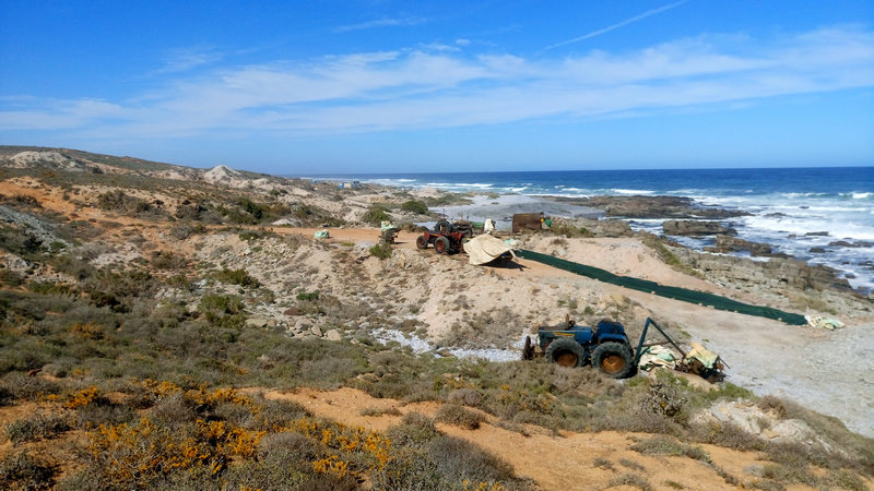
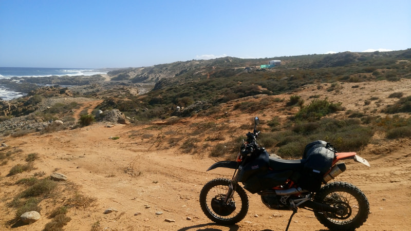
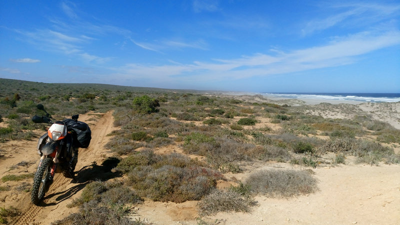
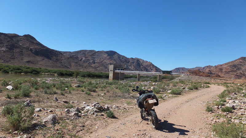
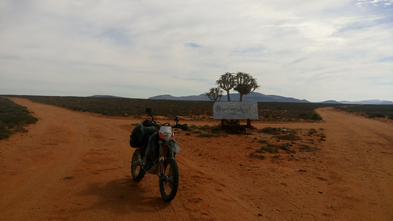
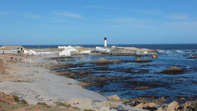
I reach Brand se Baai. Several people camping here. I stop to take a photo and see have decent signal here. Interesting area for people to camp. Camp on the left, sea water intake for the mine in the middle, and the mine on the right.

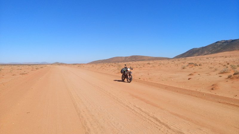
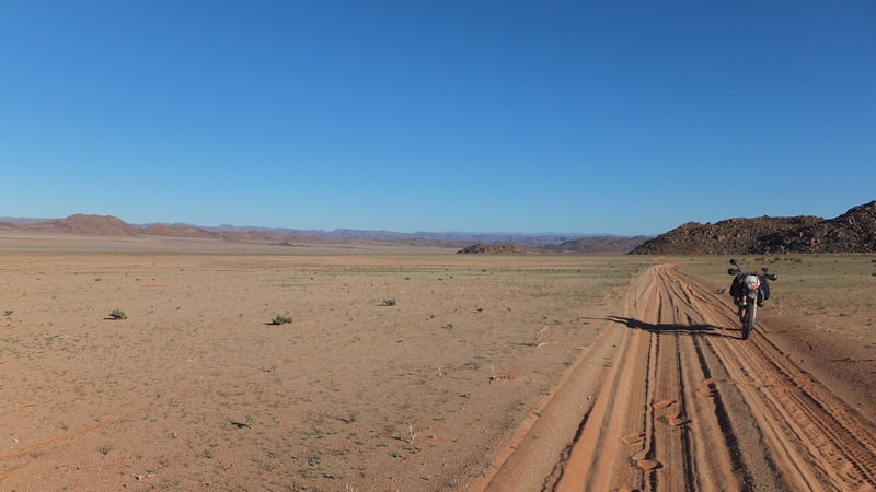
I head further north to catch up with more 4x4s along the way. The road starts getting sandy. The riding gets better and the road ahead looks great. Miles of this.
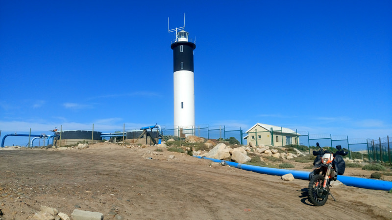
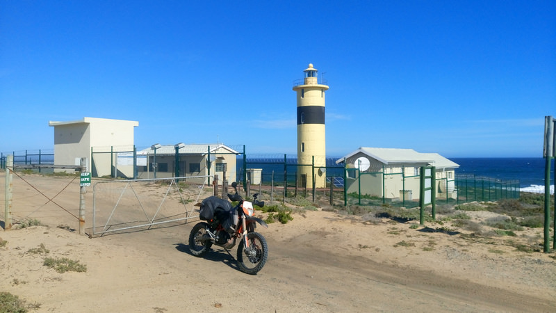
Reach the lighthouse at Groenriviermond and take the obligatory lighthouse photo. I am now in a park, the road is smooth, an ouma in her i10 comes from the front while being chased by a Sanspark bakkie.
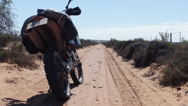
Pay the park fees at the Namaqua National Park entrance. I get chirped by a 4x4 crowd about riding alone, then why I am not on a 1290, finally why am I wearing a Yamaha jacket while riding a KTM. Same reason you stick Isuzu stickers on a Ford, coz’ it adds reliability.
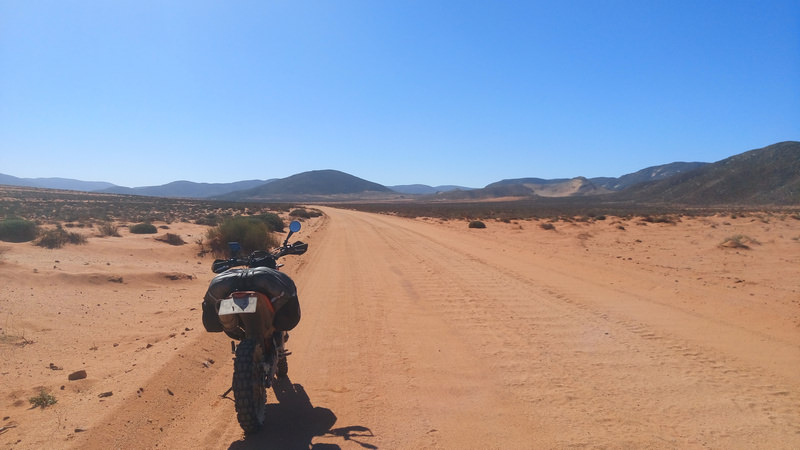
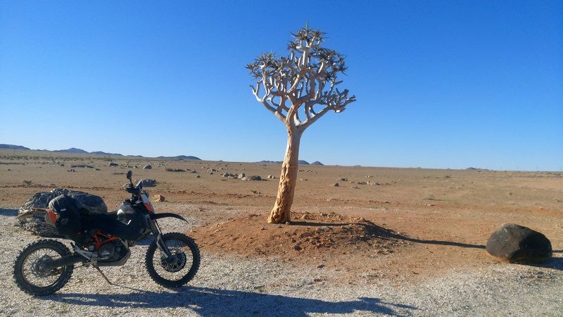
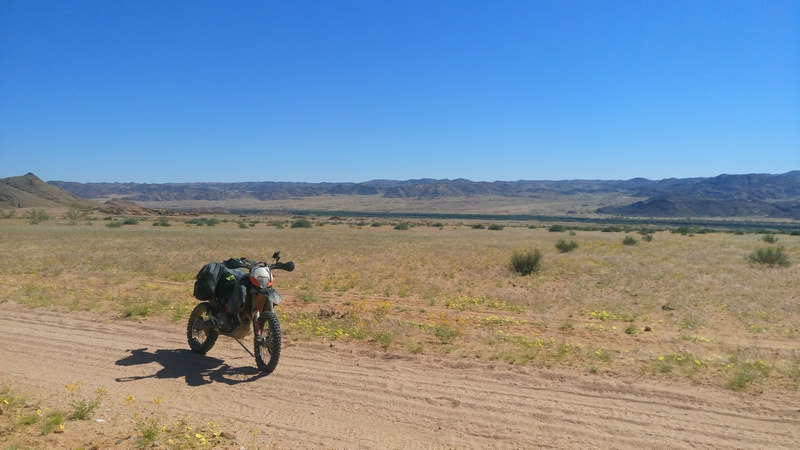
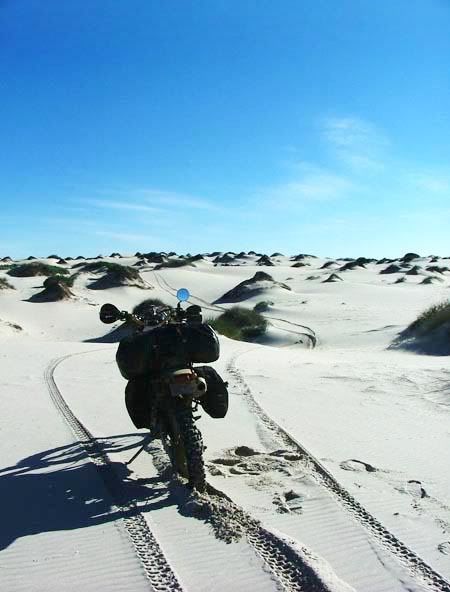
Lekker sandy areas in this park. I settle in to a lekker rhythm and let the bike take over. I forget to stop more pics as the riding is just so good.
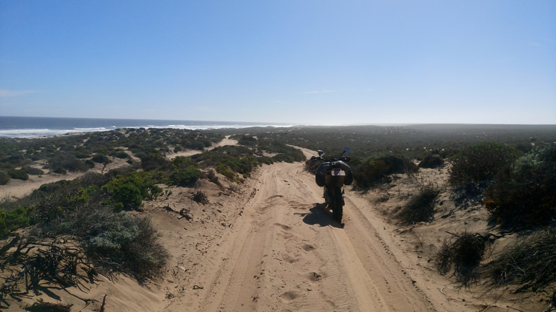
Several years ago I read a RR and this one pic remained in my head, hoping that I would be able to ride there one day as well.
Link to RR https://wilddog.net.za/forum/index.php?topic=9421.msg127180#msg127180
Unfortunately I could not recreate the above photo, but the ride through the sandy areas of the park was great nonetheless.
I came across a Meerkat meeting in the park. Not the people, but the actual animal. They all scattered into the various holes. They are truly difficult buggers to get a photo of. Their head pops up and down and I cannot get a pic during that period.
Get to an intersection in the park and pull out the provided park map. Oh there is some caves that I have heard of before. I am nearby so I decide to go check out the Spoegrivier caves.

I end up have my first and only fall of the trip when I leave the caves on the sandy road out. High sided with my head and shoulder into the ground first. De-moer in with myself, I pick the bike up with one hand, get on, start up and ride further. No time to think of aches and pains. The next morning and the following two weeks, I still felt that fall with my shoulder.
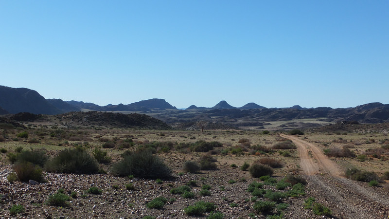
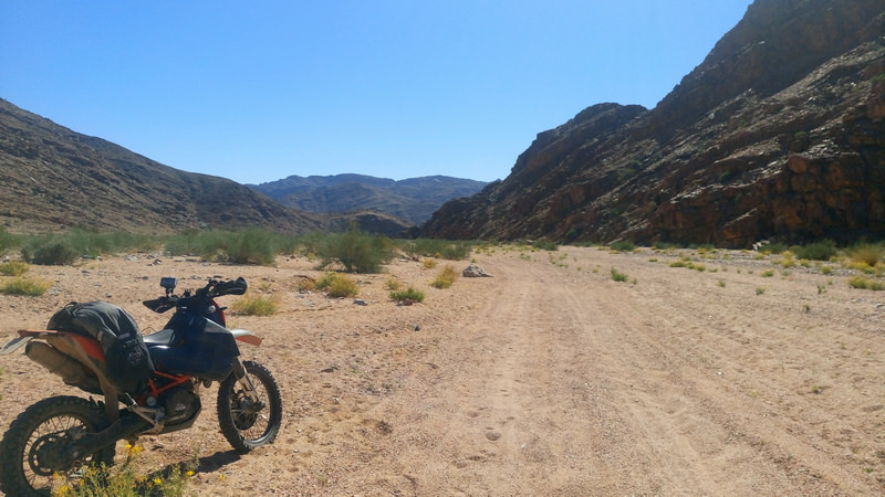
A convoy of about 15 4x4s reach me at a some gate along the way. Briefly speak to the one couple, “Waan toe ry jy vir die aand?”, “Weet nie. Sal kyk hoe ver ek kom.”, They nod their heads in approval. Reach the intersection that heads to Hondeklipbaai. Carry on through the northern part of the park. These roads are just great to ride.


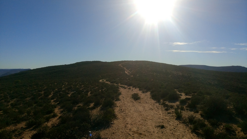
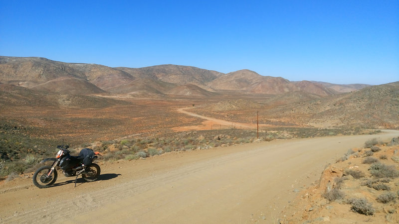
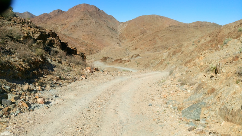
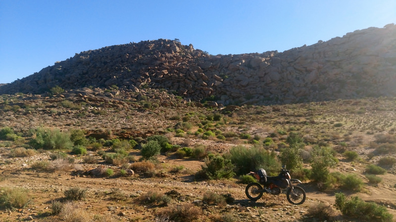
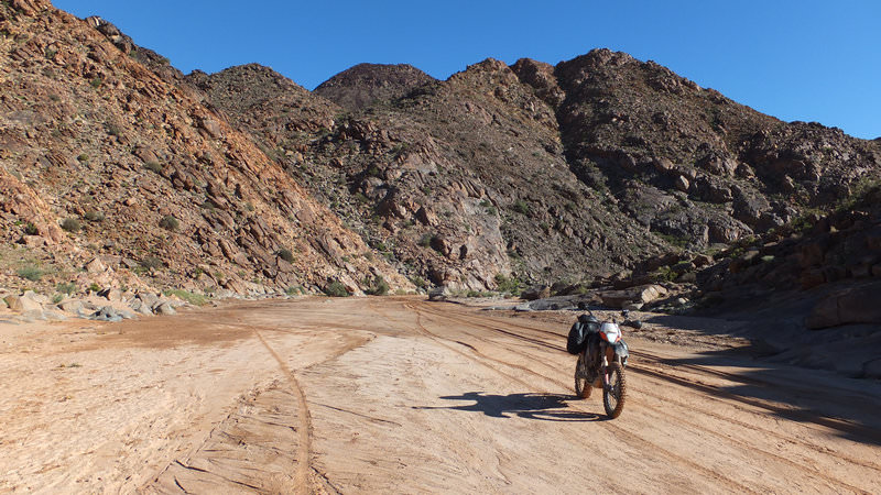
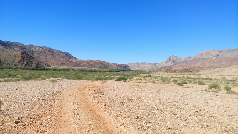
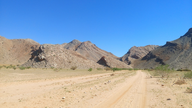
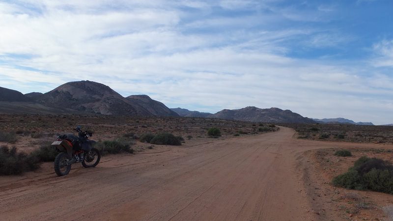
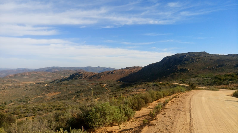
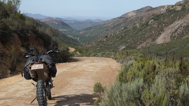
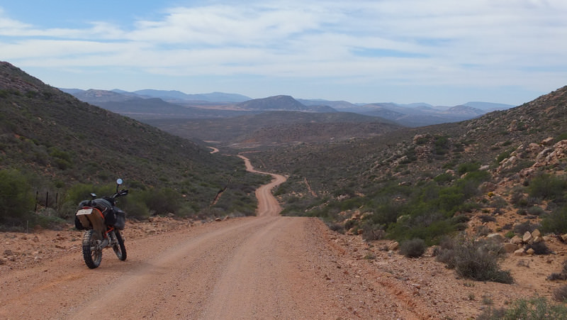
Partially through Wildeperdhoek pass.

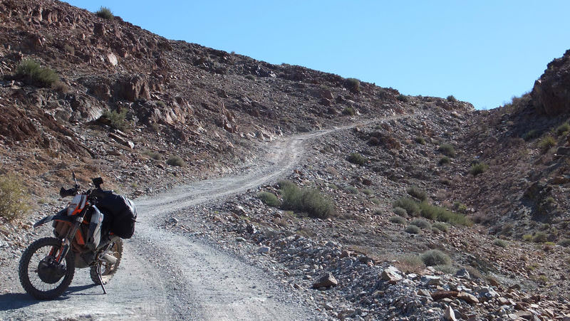
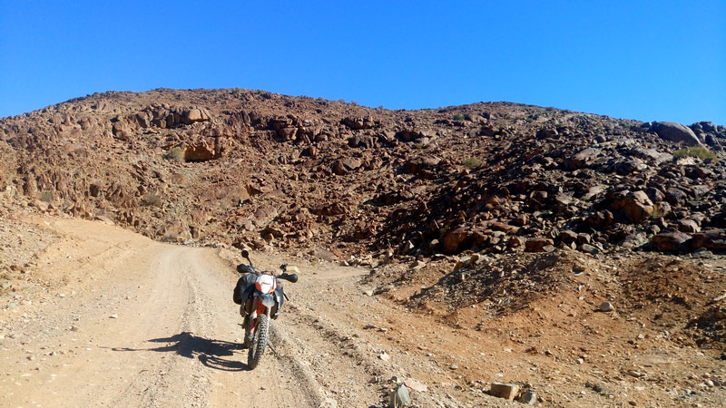
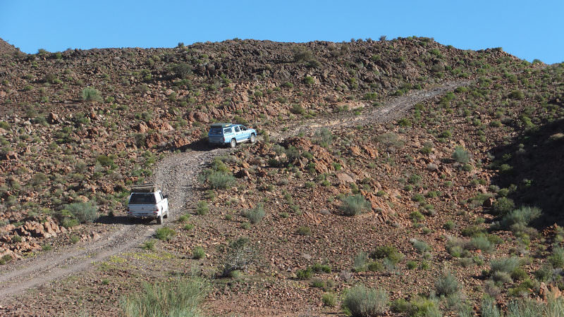
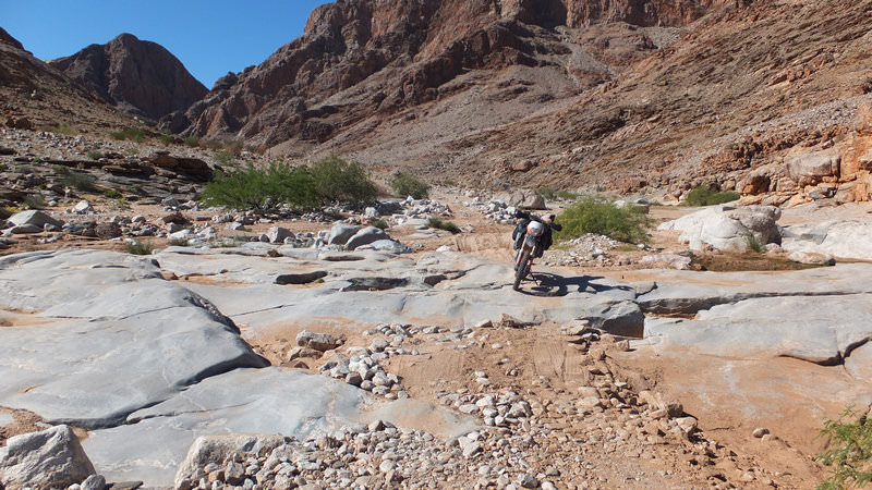
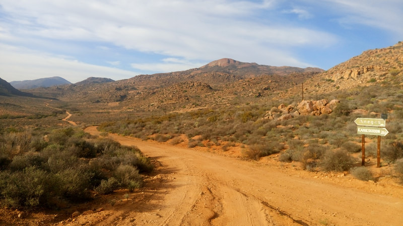
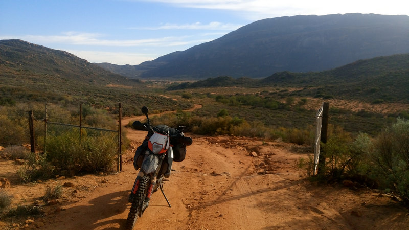
It is getting late so I decide to skip visiting the prison ruins further down the road, but rather turn onto the Buffelsrivier 4x4 route. Head up the mountain and get to a gate. Game camera watching you, electric fence on top of the fence. Right lets enter. Later on get to another gate, pass through, and see several jackal carcasses hung up on fence posts of which about 6 of them look rather fresh. Probably less than a week old. The last post was just the bone of the leg hanging. Barely past the Jackal carcasses and I find an Anatolian Shepherd lying in the road. He gets up, but does not go for me. I continue to ride to get off this guy’s farm knowing I do not want to sleep in the bush here. The fences change and I pass through another gate with a camera, so I reckon that I am off that guy’s farm.
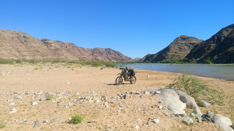
Take the wrong turn and check the GPS to confirm my mistake. It is 17:30 so I decide to find a place to sleep, see a washed up path and head up it. Looks good and decide to setup camp for the night.

Not a bad spot. It started getting dark, and the horny jackals start howling across the valley. They stop and I settle in. It is full moon, so I basically have a spot light directed at me when I face the wrong way. I end up getting the necessary sleep for the night albeit it being rather intermittent.

I have wanted to ride the West Coast and Namawka 4x4 route for several years. Speak to my dad but he can’t join me as he heading to Joburg for SA athletics for my sister, so my trip turns to a solo ride.
Using Google Earth, Google Maps, and the online version of t4a, I sort of plan a route with approximate distances between fuels stations. My only real focus for the trip is the West Coast stretch and the Namakwa 4x4 trail. The rest I am flexible with. My bike is generally always ready to ride, but I just need to fit the Safari tank for the extra range. Get some odds and ends before I leave. Sign a promotion letter in the week leading up to my holiday. Life is good.
Day 0
Sort of pack the bike the Friday at home. I do not have a clear packing list in my mind, so dump some things in a duffle bag to drag along. Bike on the bakkie and I head up to the family farm on the Friday. The bike sleeps in the kitchen for the night. Still deciding how to pack to try and get the weight distributed evenly on the left and right side of the bike.

Day 1
Route: Mountonshoek -> Graafwater -> Lutzville -> Weskus -> Erens op die berg
The aim for the days is to ride the trails of the West Coast and sleep wherever I get to by the end of the day.
I get going about an hour later due to a slow clock on the wall, but so be it. Riding starts off well, luggage it staying in place over the badly corrugated road.
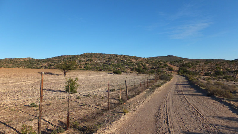
Between Het Kruis and Graafwater.

Hit some tar to Lambert’s Bay. Turn north to Doringbaai on a gravel road. Miss the turn off. I took my dad’s GPS along, but only use it occasionally when I feel I need to know where to turn. Otherwise, I just check the road ahead on the GPS, sort of remember key points, switch it off and ride.


Leaving Lutzville after filling up to the brim.

Turn to the coast and pass a wind farm. A few years ago I attempted a solo trip on the West Coast 4x4 route between Xmas and new year. Along this gravel road, my bag came loose and ended up between the rear fender and wheel. Ended up turning around and heading back to Cape Town. In Lutzville I filled up again and met a family from the northern cape that cut the holiday short due to the heat. I was under prepped for that trip, so perhaps it was a good omen that it went wrong on the first attempt a few years back.

I reach the start of the West Coast 4x4 trail. Open the gate, push the bike through, close the gate, and off I go.

You have the main road, and several sandy and gravel twee spoor paths leading off the main gravel road. Lots of people camping and fishing along the route.


I reach Brand se Baai. Several people camping here. I stop to take a photo and see have decent signal here. Interesting area for people to camp. Camp on the left, sea water intake for the mine in the middle, and the mine on the right.
I head further north to catch up with more 4x4s along the way. The road starts getting sandy. The riding gets better and the road ahead looks great. Miles of this.

Reach the lighthouse at Groenriviermond and take the obligatory lighthouse photo. I am now in a park, the road is smooth, an ouma in her i10 comes from the front while being chased by a Sanspark bakkie.

Pay the park fees at the Namaqua National Park entrance. I get chirped by a 4x4 crowd about riding alone, then why I am not on a 1290, finally why am I wearing a Yamaha jacket while riding a KTM. Same reason you stick Isuzu stickers on a Ford, coz’ it adds reliability.
Lekker sandy areas in this park. I settle in to a lekker rhythm and let the bike take over. I forget to stop more pics as the riding is just so good.

Several years ago I read a RR and this one pic remained in my head, hoping that I would be able to ride there one day as well.

Link to RR https://wilddog.net.za/forum/index.php?topic=9421.msg127180#msg127180
Unfortunately I could not recreate the above photo, but the ride through the sandy areas of the park was great nonetheless.
I came across a Meerkat meeting in the park. Not the people, but the actual animal. They all scattered into the various holes. They are truly difficult buggers to get a photo of. Their head pops up and down and I cannot get a pic during that period.
Get to an intersection in the park and pull out the provided park map. Oh there is some caves that I have heard of before. I am nearby so I decide to go check out the Spoegrivier caves.

I end up have my first and only fall of the trip when I leave the caves on the sandy road out. High sided with my head and shoulder into the ground first. De-moer in with myself, I pick the bike up with one hand, get on, start up and ride further. No time to think of aches and pains. The next morning and the following two weeks, I still felt that fall with my shoulder.
A convoy of about 15 4x4s reach me at a some gate along the way. Briefly speak to the one couple, “Waan toe ry jy vir die aand?”, “Weet nie. Sal kyk hoe ver ek kom.”, They nod their heads in approval. Reach the intersection that heads to Hondeklipbaai. Carry on through the northern part of the park. These roads are just great to ride.


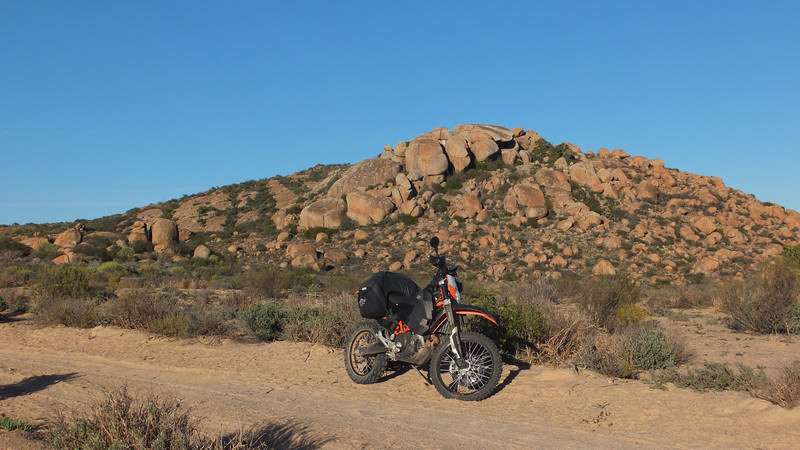
Partially through Wildeperdhoek pass.

It is getting late so I decide to skip visiting the prison ruins further down the road, but rather turn onto the Buffelsrivier 4x4 route. Head up the mountain and get to a gate. Game camera watching you, electric fence on top of the fence. Right lets enter. Later on get to another gate, pass through, and see several jackal carcasses hung up on fence posts of which about 6 of them look rather fresh. Probably less than a week old. The last post was just the bone of the leg hanging. Barely past the Jackal carcasses and I find an Anatolian Shepherd lying in the road. He gets up, but does not go for me. I continue to ride to get off this guy’s farm knowing I do not want to sleep in the bush here. The fences change and I pass through another gate with a camera, so I reckon that I am off that guy’s farm.
Take the wrong turn and check the GPS to confirm my mistake. It is 17:30 so I decide to find a place to sleep, see a washed up path and head up it. Looks good and decide to setup camp for the night.

Not a bad spot. It started getting dark, and the horny jackals start howling across the valley. They stop and I settle in. It is full moon, so I basically have a spot light directed at me when I face the wrong way. I end up getting the necessary sleep for the night albeit it being rather intermittent.


