Hey stop complaining and read the story

Thanks for the compliments on the imagery. I have worked for years in the commercial photographic industry and was assistant to some big guys out of Europe. Everything is always so set up and pre-planed and sometimes you believe it is impossible to get good images if it is not done in this way.
It's just nice to be able to haul out a camera and shoot a picture because you really want to.
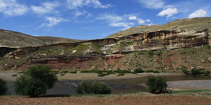
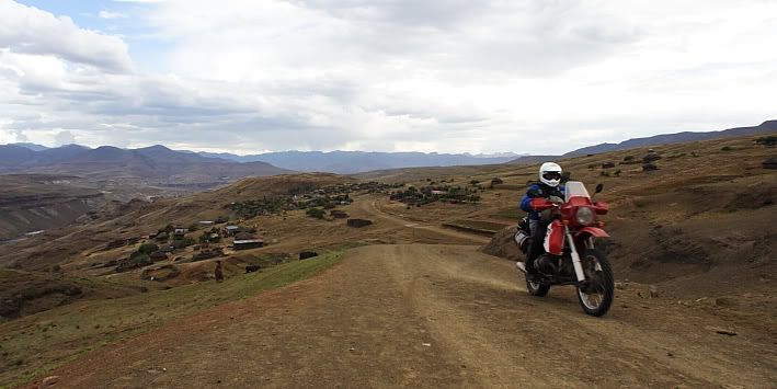
At Sehonghong turn in next to the small runway in a westerly direction and head toward the end of the runway where a track leads of down into the Senqu river valley. I felt nervous following Michiel down this path that clearly have fallen into disuse a long time ago. Some distance down I saw an erosion donga cutting through the road and felt a bit relieved, this mean we will have to turn around and abandon this idea of getting through the Senqu river so that we could connect to a lesser travel road on the western side of the river.
I would love to go explore the road on the other side but the part that lay between this road and us is a big question mark. No map or any other source could give any information on whether it is possible to get through here. On Google Earth there is signs of a track but then the entire Lesotho seem to be covered in tracks that are not in use anymore.
We got to the donga and it became clear why the road are not in use anymore, The soil is washed away on both sides to the point where only animals, people and of course a motorcycle could still cross.
My luck is out; we are going to follow this road right down to the bottom of the valley.
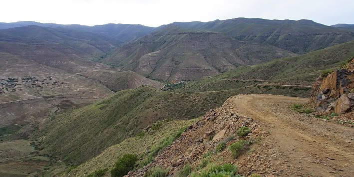
Large sand stone slabs of loose rock are covering the entire road surface. This was the material used to help fill up the foundation of the road, everything else have been washed away. The heavily loaded bikes are slowly being nursed over this harsh road surface, blipping the front wheel over the largest obstacles. Bouncing down this impassable track the one thing that kept me positive was the long footbridge that appeared in sight. The though of being forced to turn around and try and negotiate this same peace of road was just too much.
As we got near the river the track veered away from the bridge and it did not take long for us to realise that we will not be able to get close to the bridge with the bikes, we were going to have to cross the river and get up a near vertical wall on the other side. The steep hillsides were also not giving away any possibility of a road leading up the other side of the valley.
The only solace is some vehicle tracks in the soft sandy riverbed. Somewhere there must be a road.
The last section of washed away road was particularly crazy with step-downs, jagged rocks and deep ruts. We made it down to a grassy knoll just to be stopped by a very deep donga that have cut off the access to the river completely.
I started to do a little scout around by foot and found a very steep bank next to the river used by locals on foot. We will be able to get down but not back up, this might be the proverbial flytrap; once we are in the river we might be stuck.
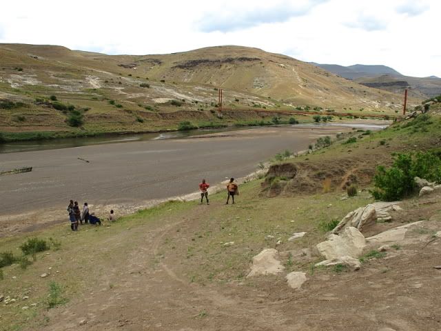
Some locals were crossing the hanging footbridge and Michiel asked them the way to Thaba Tseka, they are all pointing in the direction we just came from ???.
I decision was made that Michiel will take the KLR down, the KLR being the lightest, and first to go and scout the river for a possible point where we could cross.
Stefan then decided he would follow Michiel into the devils claws as he was beyond the point of turning around come hell or high water.
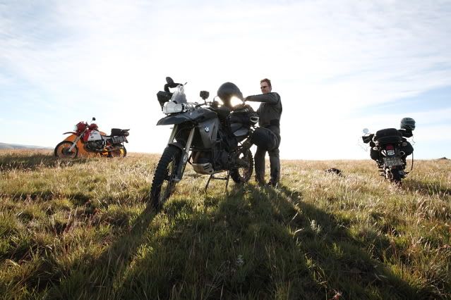
I waited patiently by the big HPN while Michiel was checking the river to the north and Stefan went down South.
It took them long enough but once they returned Michiel was sure that we would get stuck in the mud even though the water was shallow enough to cross and Stefan was sure we could cross at a rocky section further down.
Everyone waited in anticipation as I started my decent down the riverbank. The dilemma here was not only the steepness of the bank but the fact that there was a deep donga cut right across the slope forcing you to do a hard left as you start sliding down. The soil is dry and very loose giving very little traction, I dropped down the bank like a piece of lead and came to a crashing halt with the bike on its side at the foot of the riverbank but at least I was far away from the edge of the donga.
We followed Stefan down to the rocky section The dry river sand turns out to be something else and not getting up enough speed I got stuck quickly. By the time we reached the waters edge it was midday and I was exhausted from pushing.
I carried my luggage across to minimise the weight but I also do not want to take chances with my computer and camera gear in the water. It was immediately apparent that the round river rocks are incredibly slippery; they seem to be covered with a thin layer of algae and the strong current washing over the rocks does not make things easier as one can’t see below the surface.
Up to this point we have all been standing on the pegs when the going got tough but here we decided that paddling the bikes with the other riders walking alongside will be the safest way to get the bikes across.
This took up a lot of time and we were all somewhat nervous about finding a way up on the other side, every step we take we might have to do again if we can’t reach the other road up on the hill.
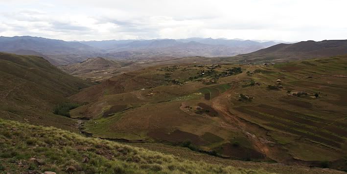
Up to this point some kids have been following our antics getting through the river but they suddenly started to seem useful as they know of a road past the cornfields. This turned out to cut through one section of cornfield and crosses a number of deep and gnarly ruts and dongas but as long as we could get the bikes through these we were happy about the bucks we parted with in exchange for the info.
Paths are crisscrossing the hillsides and confused us a few times but finally we arrived at the village on the other side. One last steep hill right through the village and suddenly we were on a beautifully crafted Chinese road all the way to Thaba Tseka.
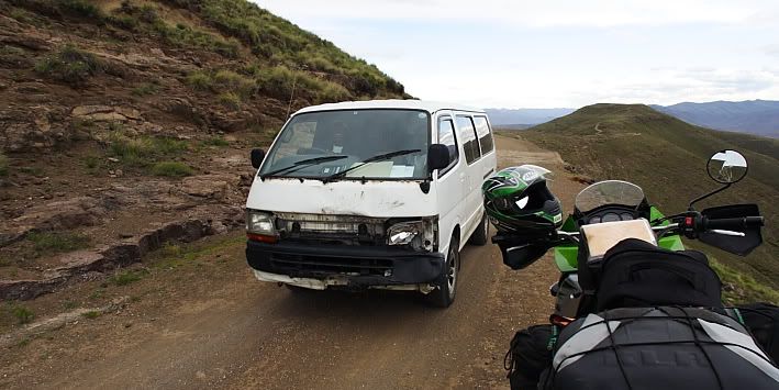
We filled up with petrol at Thaba Tseka and did a hare run for the Katze Dam Lodge. This road is 60 km but measured across on the map it only covers 23 km, as the crow would fly. This is giving one some idea of the scale of this small country. Michiel often underestimated distances because on the map it looks like only around the corner, but don’t forget about the thousand of corners you will do to get there.
We reached Katze right before dark but I did not appreciate the fast pace rushing past many beautiful scenes and scenarios.
The footbridge in the distance.
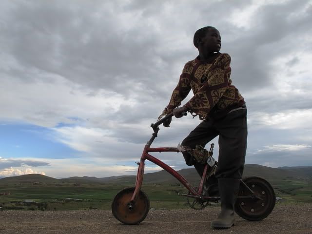
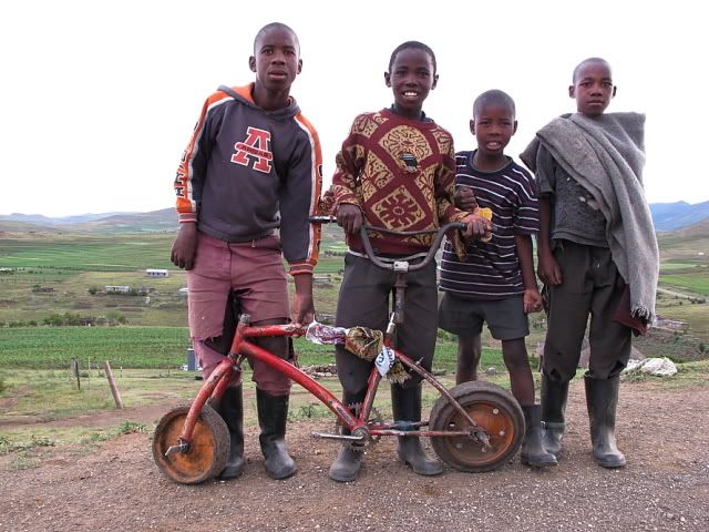
On the way to Katze I forced a stop at these kids playing with there home made bike.
Sorry for the lack of images here but I guess you will have to get the video as we were so busy shooting video footage we forgot to get some stills as well.
)


