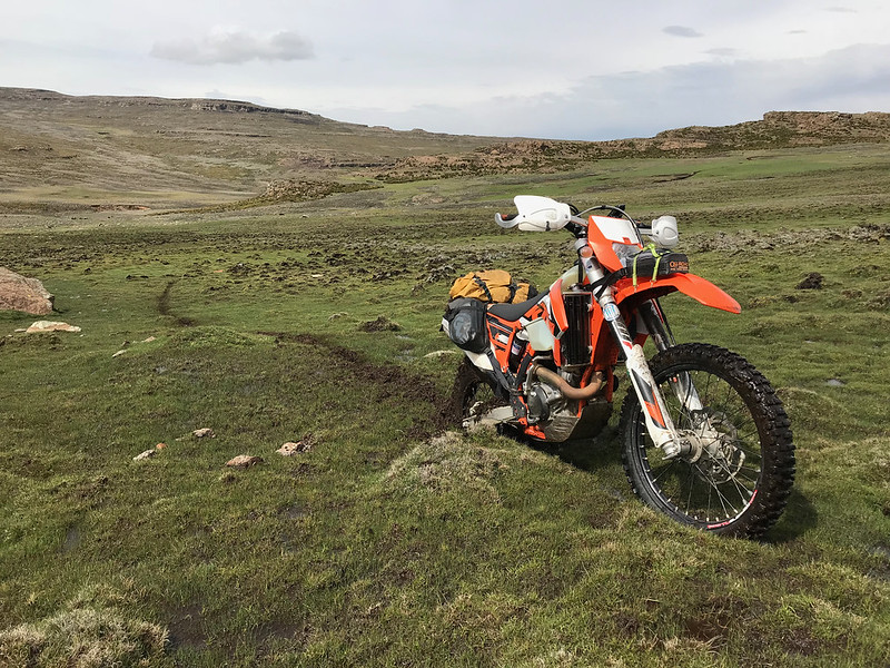
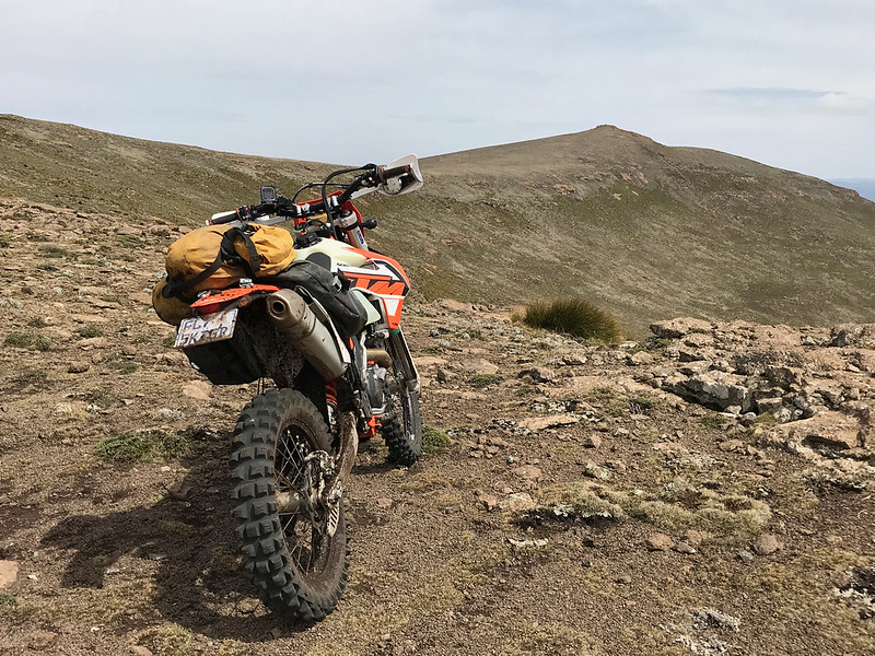
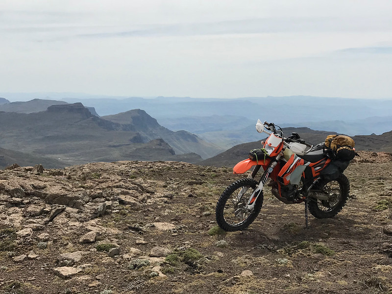
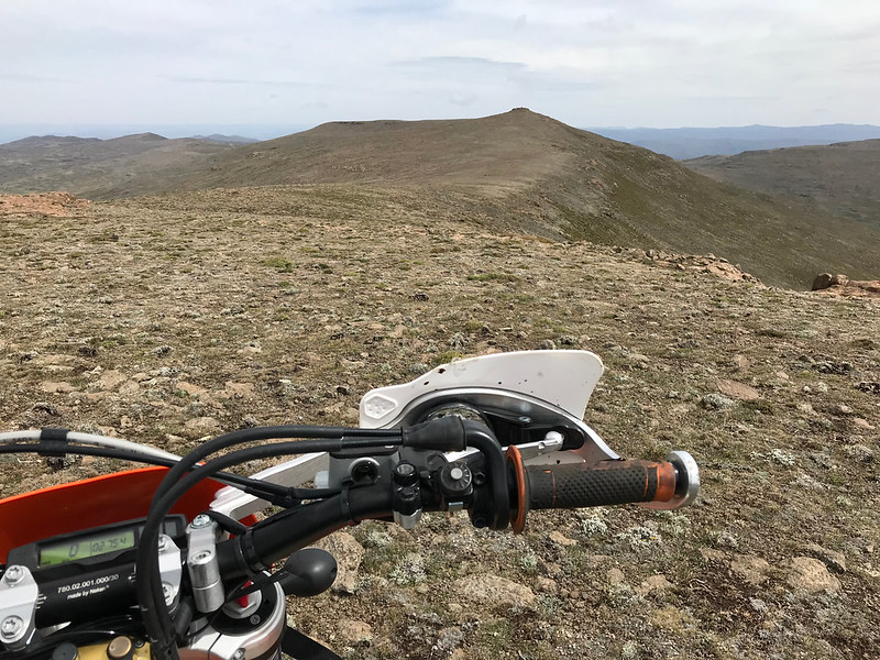
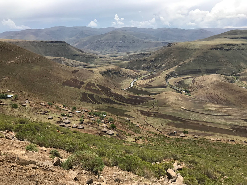
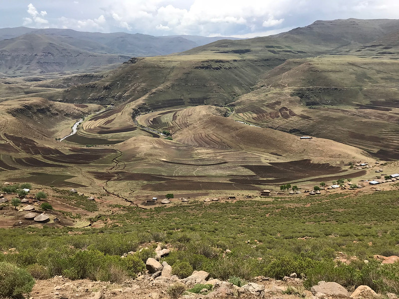
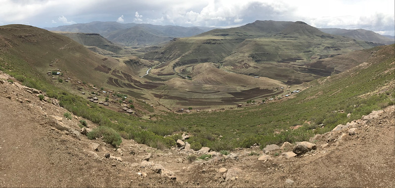
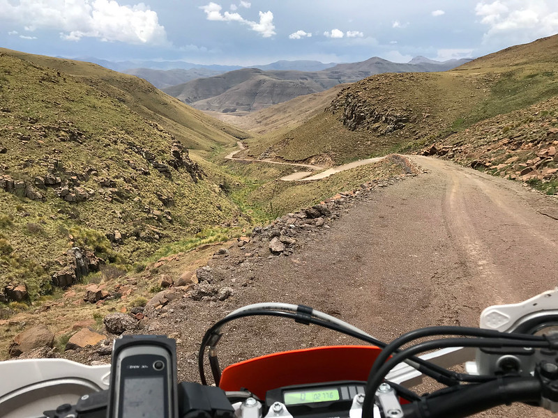
So I opened a Czech account...

This site may earn a commission from merchant affiliate links, including eBay, Amazon, and others.
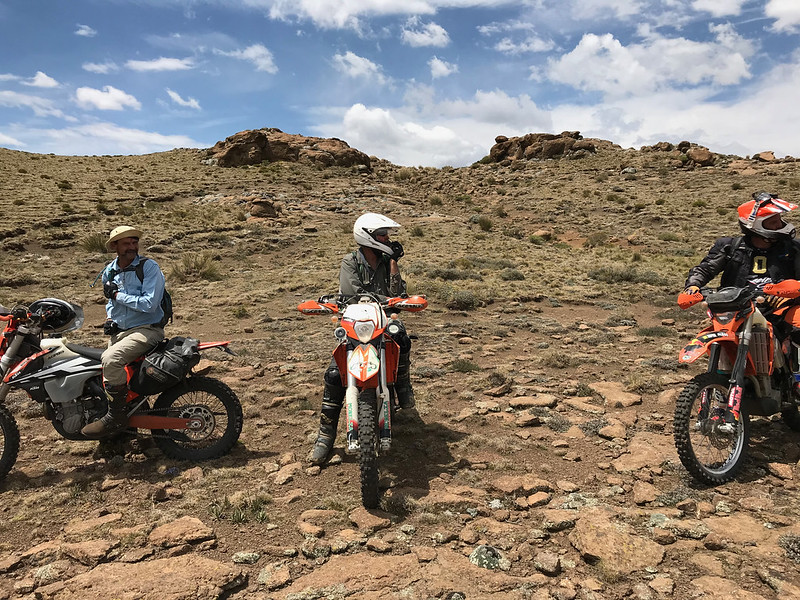
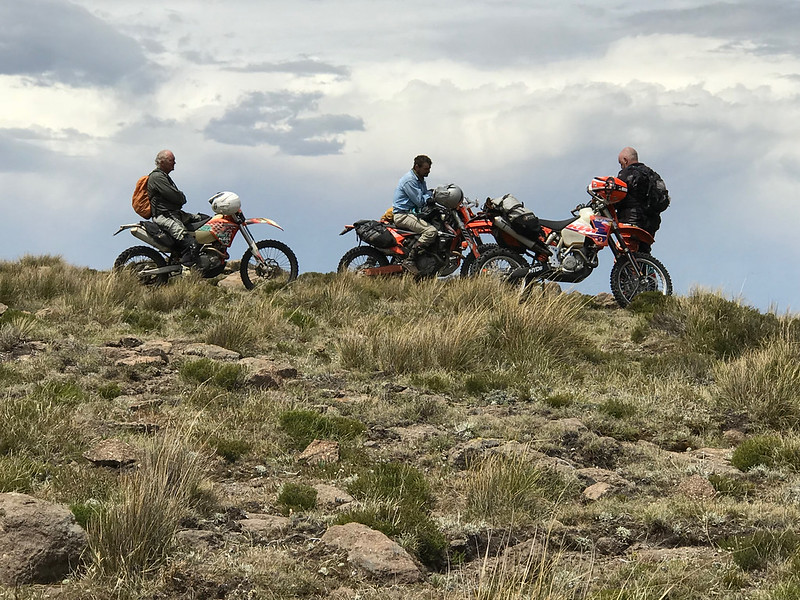
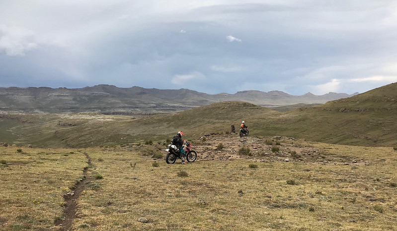
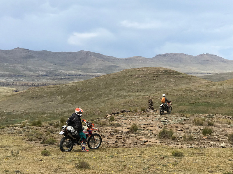
Good old Iain and Stuart. Nothing they like more than a good ride! When I first started riding with Stuart as a young man he seemed impossibly older than the rest of us. For many years the Vet championship in the Natal regional WFO championships belonged to Stuart. As I've got older the difference in age seems much less but he is still the riding legend who is still playing serious tennis and squash at the Matatiele country club. I asked him recently how it felt to be the oldest people out doing it because I feel a bit old myself now and his retort was that he has always been the oldest at all of his sports. I can't think of a better pair to go on a ride with than Iain and Stuart and they are completely unassuming to boot.
 
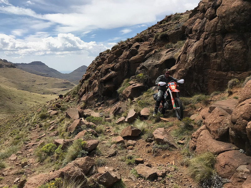
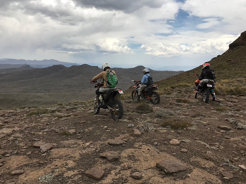
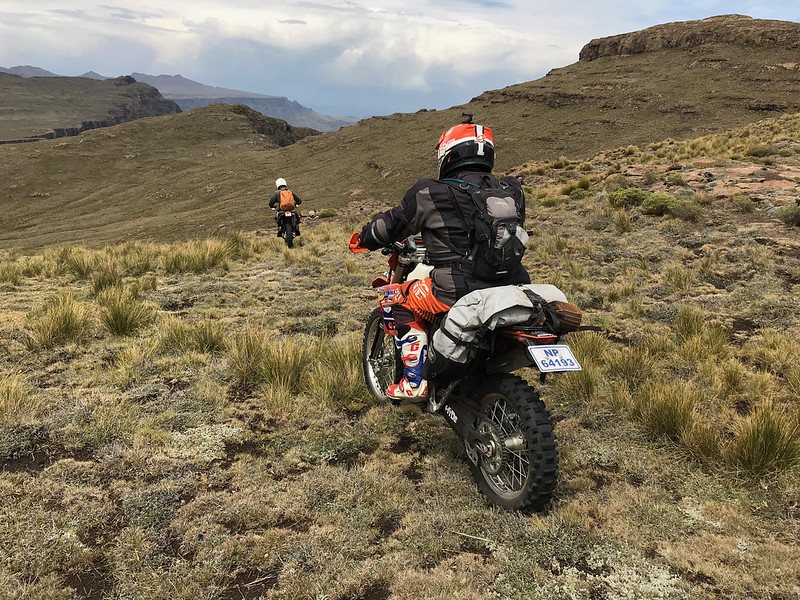
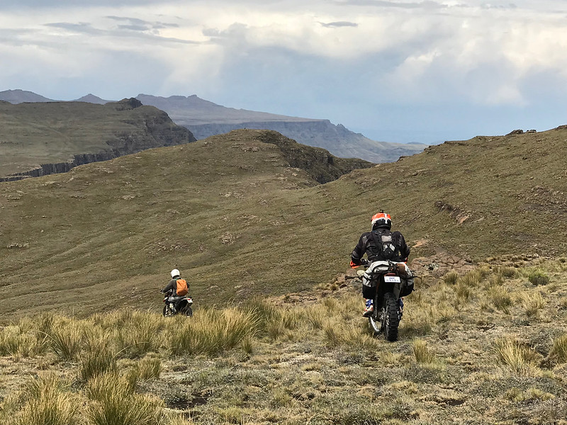
We finally reach the first crest of the ride and I reluctantly give Ian’s bike back.  That fuel injected 500 has really impressed me.  Ian is delighted to get it back, evidenced by his choice of lines.  It dawns on me he’s one of those guys who needs a challenge and will deliberately take harder, riskier lines, reveling in the success of each conquest.  Martin and I opt for the safest and shortest routes while Stuart just glides along regardless of the terrain. 
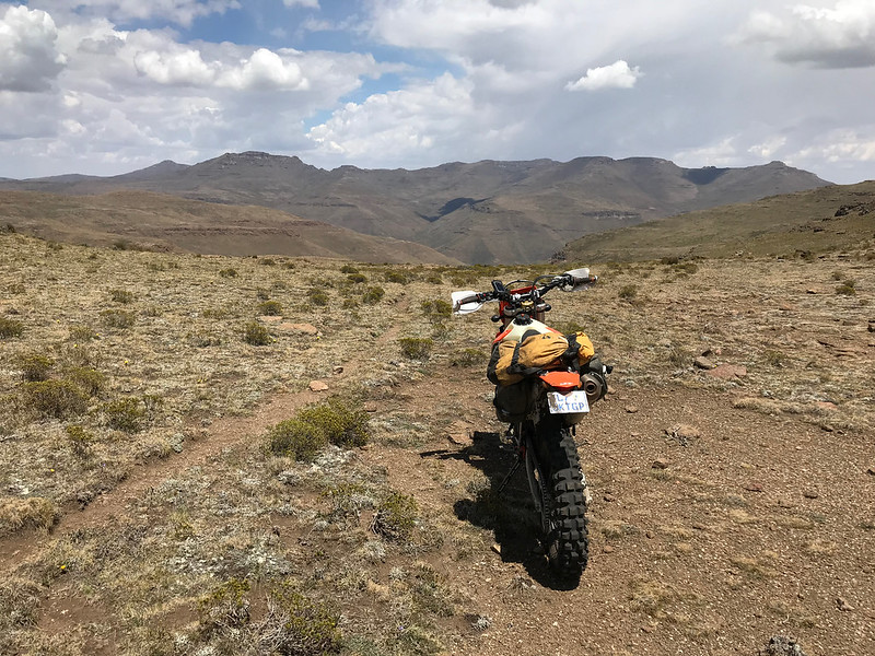
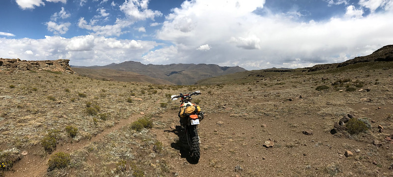
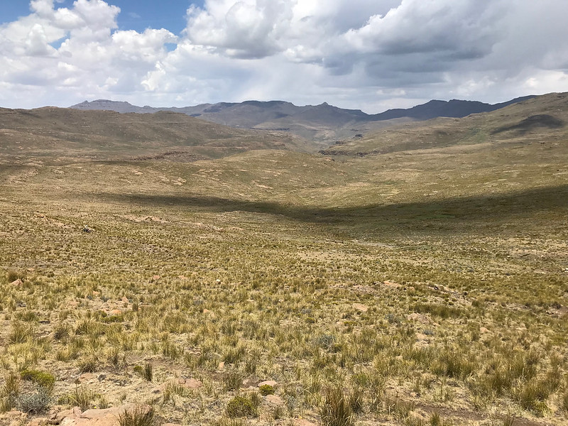
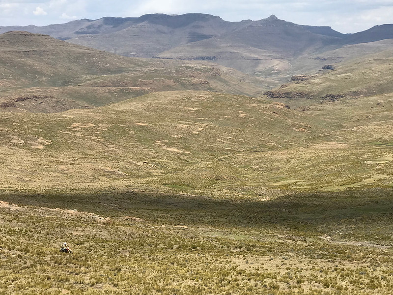
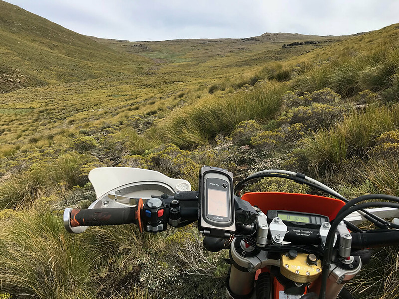
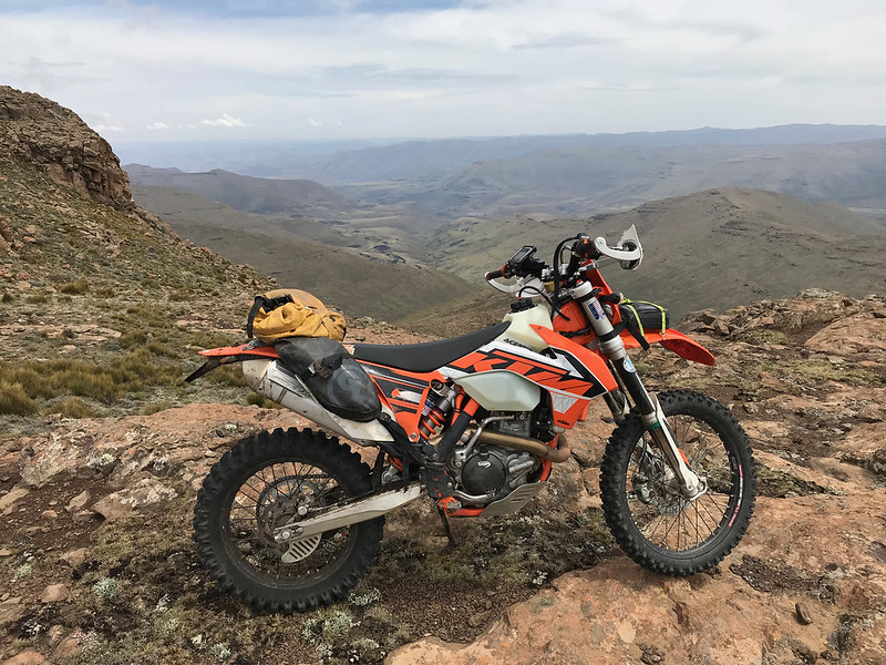
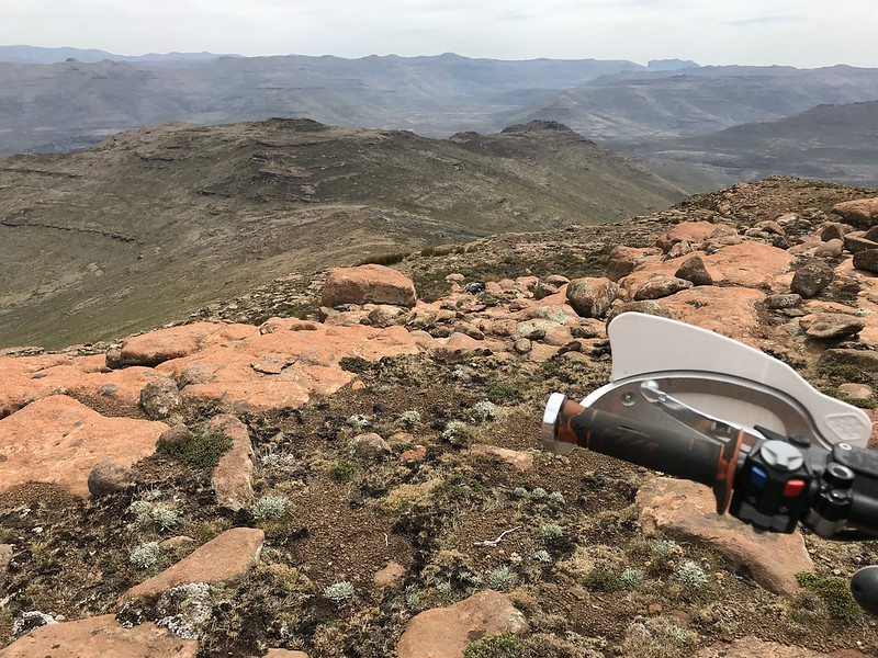
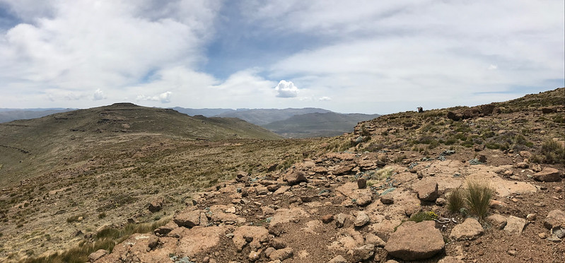
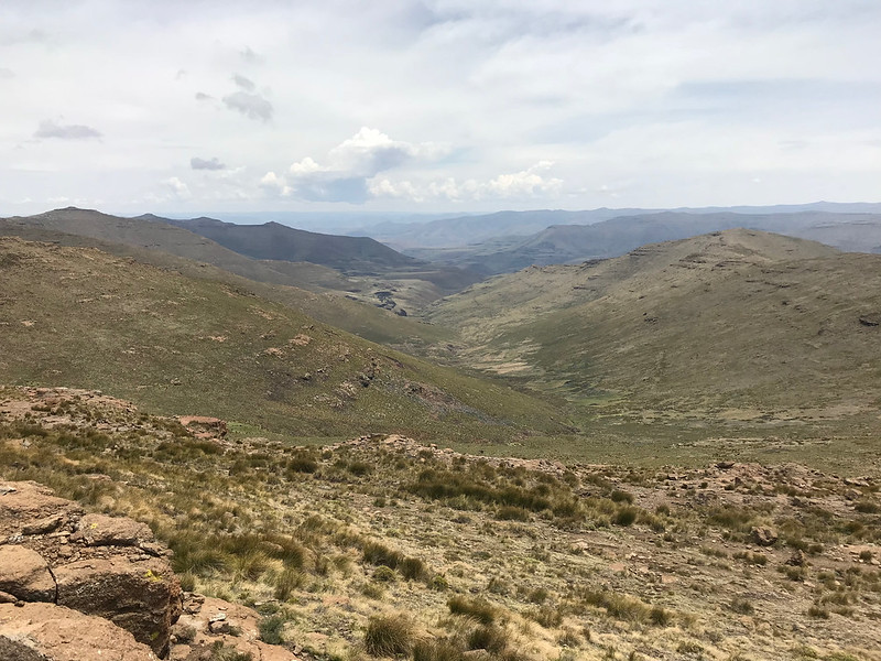
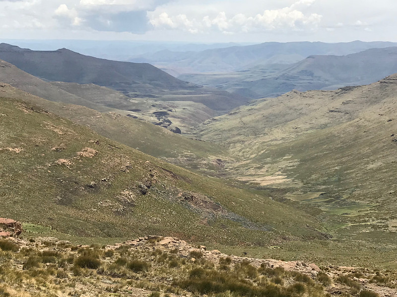
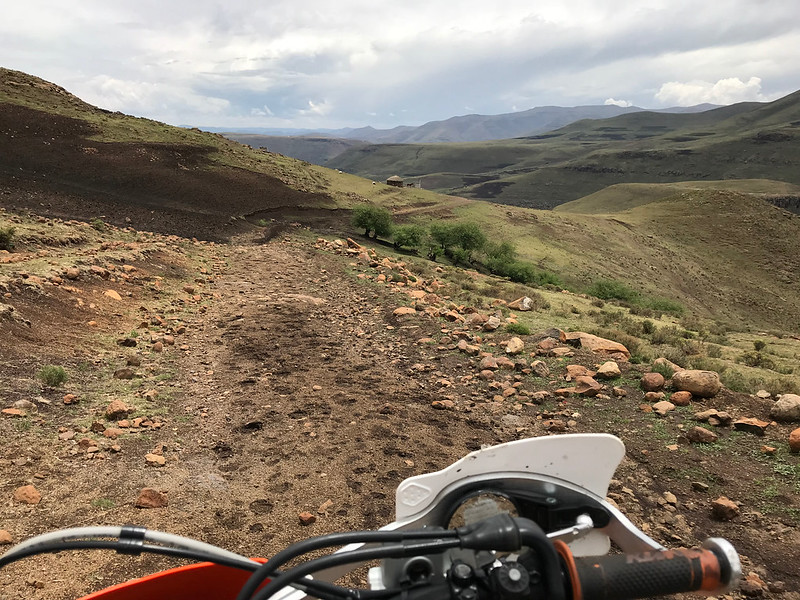
Boy am I glad we have GPS. I would get totally lost op here without one - I really hope Martin has pictures of the sweeping views from the hilltops, it looks the same in every direction.  We decide not to go to the first viewpoint over the escarpment, since we can do this at Rhino Peak.  Instead we push on towards Mashai ridge, the next big challenge on the route. 


Sent from my iPhone using Tapatalk
 
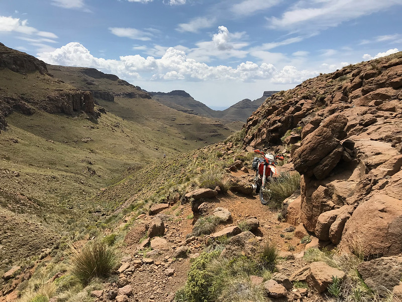
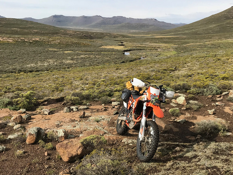
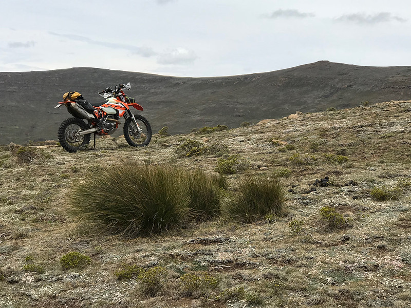
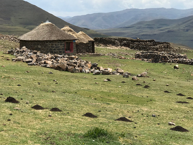
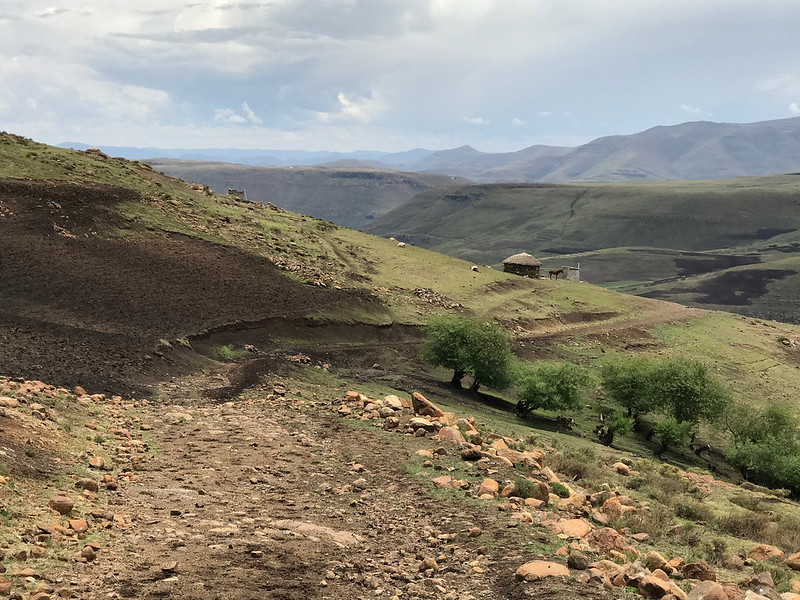
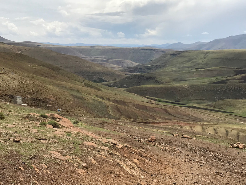
This riding is not particularly dangerous.  There are no vehicles, cows, sheep, people.  There is almost no sign of any human existence.  I have never been this far from civilization in all my riding years.  No paths, no roads in the distance, no power lines, no fences, no trees, no crumbling ruins of previous generations,  no signs of subsistence farming, not one man made hole.  Nothing.  There are places in the middle section of this ride that have probably never had human traffic.
So the danger lies in “what if”.  Because “if” you break a leg, if your bike breaks down, if you have a medical emergency, there is no plan “B” to get you out.  No friendly locals with a donkey, no access to a 4x4, I’m not even sure if helicopters can fly at this altitude and in the erratic weather conditions prevalent in this part of the world.
Now this plays on my mind and I have to get my head around it because thoughts like this tend to make me ride too cautiously, and that doesn’t cut it out here.
I look up at the skies and to my dismay I see bad weather approaching.  It’s not like we have options here, it’s just us and the elements...


Sent from my iPhone using Tapatalk
 
After the waterfall the valley opened up and we cruised with reinvigorated by the sense that the end is nigh - well the end of the first valley of many more to come...

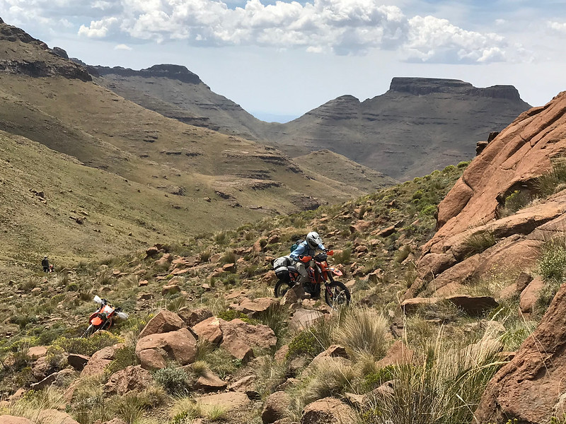
So to keep us in line Lesotho thrown in a reality check. Iain mentioned in passing that there is one more technical section and sure enough as we approached the top of the valley we came upon this:


47597459071_6906f9dee5_c.jpg


47597462451_5c9bfc8bd1_c.jpg


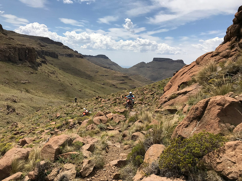
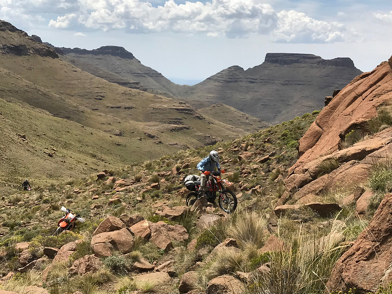
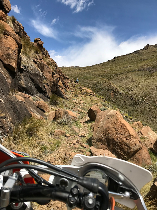
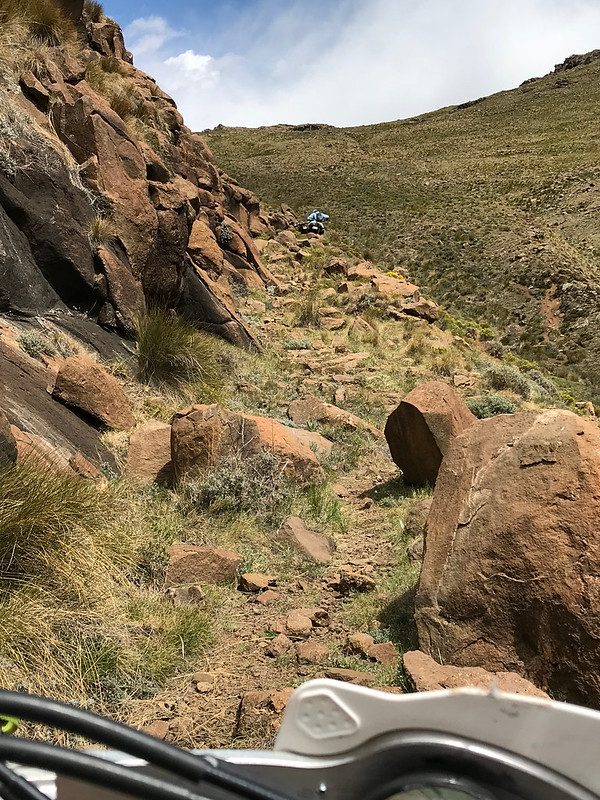
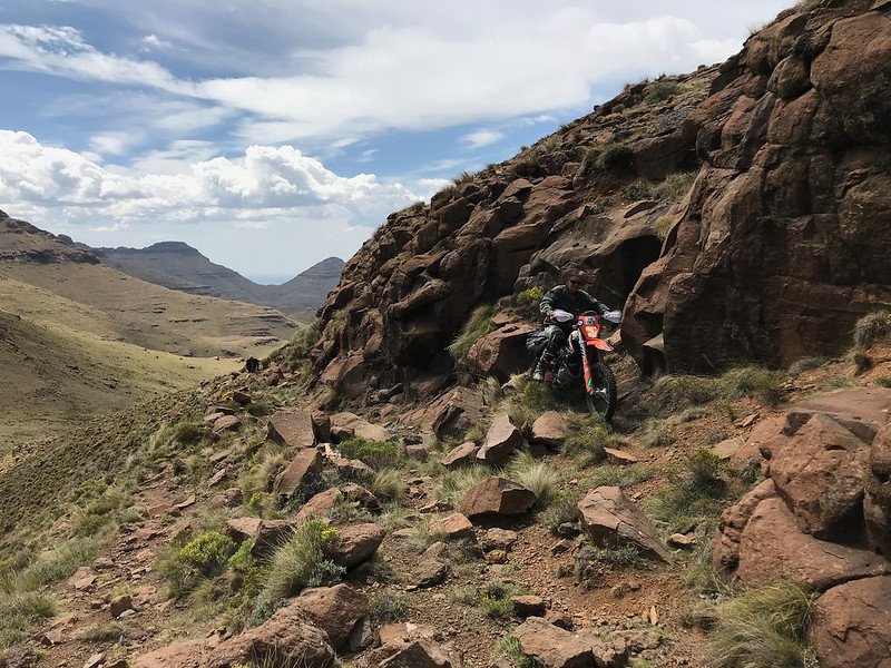
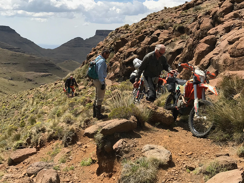
A veritable rock garden unlike anything we encoutered so far. Stuart just casually hoped around stunned me and disappeared ahead in between the boulders. I tried halfheartedly to follow but got my clutch/trottle hands coordination wrong and flipped the bike backwards. That made me focus again, and after I got the bike to little easier spot few meters ahead, I walked up to see what am I up to. I was relieved to find a little ledge running right next to a rockface, as I just couldn't see myself getting over those rocks in one piece while navigating the steep offcamber.

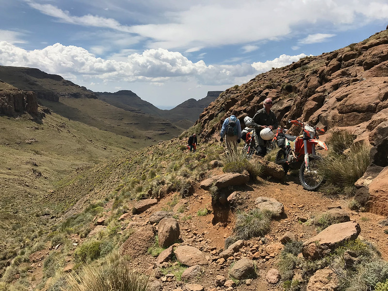
Stuart in the meantime parked his bike at the end of the gnarlies section and walked back to help ride up Iain's bike as Iain by now was again riding Kevin's bike and Kevin couldn't manage to get Iain's 500 over those boulders.


40631219243_1db130600b_c.jpg


Iain, riding Kevin's bike, Kevin waiting forther down for Stuart and my bike parked in the staging area after backflip:


46873319474_6138face74_c.jpg


46873321054_f4c951351e_c.jpg


33720439438_33de181b8a_c.jpg


The ledge, I followed Iain who can be barely seen ahead:


40631236553_6126830e94_c.jpg


47597484031_bfacd70021_c.jpg


At the end of the ledge we slowly reassembled as bike after bike was brought there. Stuart parking Iain's bike:


47597487051_9c09b43318_c.jpg


46681849685_b4d601c1e5_c.jpg


47597505361_fa3784c420_c.jpg


46681871045_2fe792055a_c.jpg


We could see from there the top of the valley 100 - 200 meters away and I rode up elated that we have made it through the toughest bit of the route, and even though we had still 60 or so km to navigate, I felt the success is within the grasp.


46681872975_f59c6252d0_c.jpg


47597518381_c6d50ca778_c.jpg
 
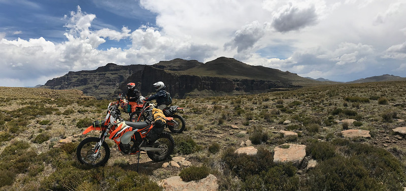
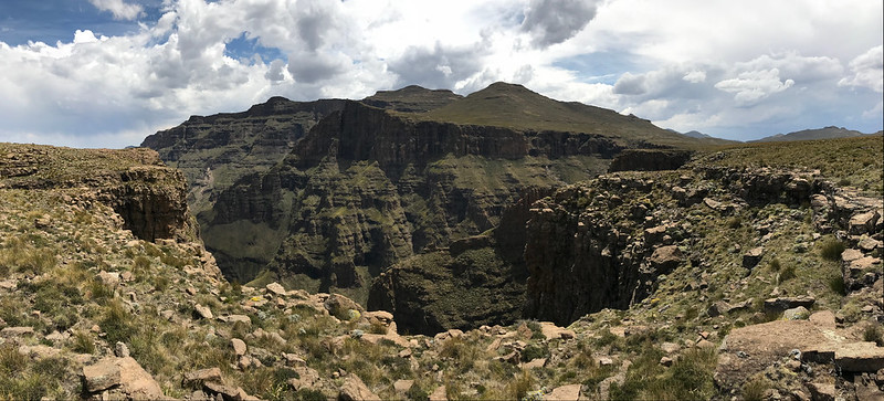
At the top we regrouped and turned north again. I usually preffer to follow along the top of the ranges or valleys in Lesotho, but here it wasn't to be. Most of the ranges here run east west from Drakensberg escarpment inland to Lesotho, as as we were heading north we would have to cross number of them, which meant regular crossing number of them. The riding was now much more open across wide vistas, but I was still on watch for Mashai ridge, as I knew from IanTheTooth that that one is very steep. We were to go down the ridge, so I believe we should be able to make it, as we could just walk the bikes down if it gets too steep/gnarly.


47544492162_41c8c50762_c.jpg


46873393214_a23fa2c008_c.jpg


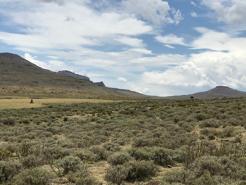
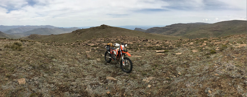
There is a bike somewhere in this picture. Can you find it?  8)


46873397364_9d5c2aa848_c.jpg


And now?


46873401064_28714af4f9_c.jpg


47597543011_38ce5c05de_c.jpg


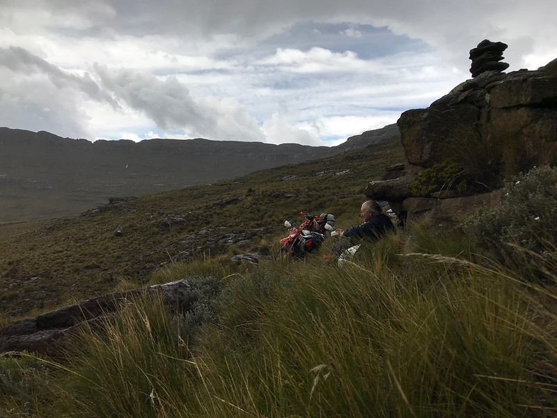
We have made it to the top of the Mashai ridge, just as heavy thunderstorm closed in. The Mashai ridge turned out to be very steep indeed, but as sitting on top of 3000 meter ridge is not the best place to be in thunderstorm, none of us dwelt on it and we hurried down. Well Iain and Stuart did, while Kevin and I walked our bikes as the possibility of faceplant seemed too high. Iain and Stuart found a rock to sit under lower down just as the heavens opened, and Kevin and I joined them quite a bit later and somewhat wet by now.

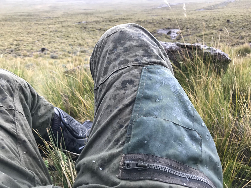
It was amazing how in just few minutes the storm closed in, it got omniously dark, the temperature plummeted and it even started snowing (others thought it was hail, but it didn't look like hail to me). Just shows how sudently weather turns up in the mountains and one has to come ready - we all scrambled into our waterproof jackets.

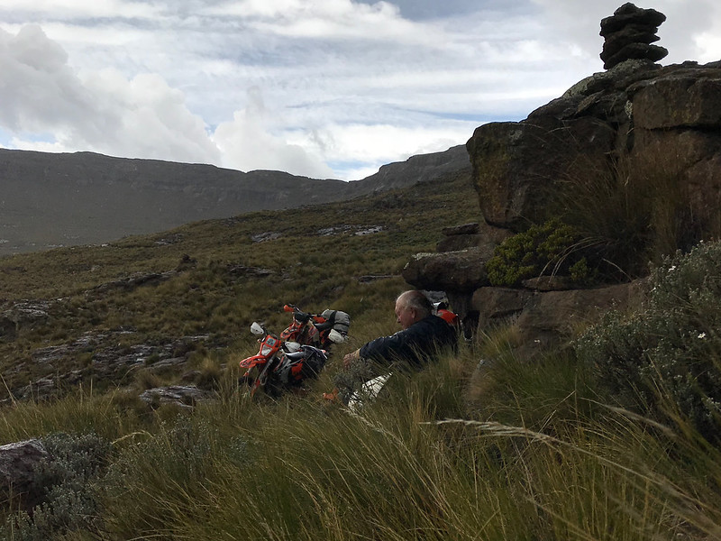
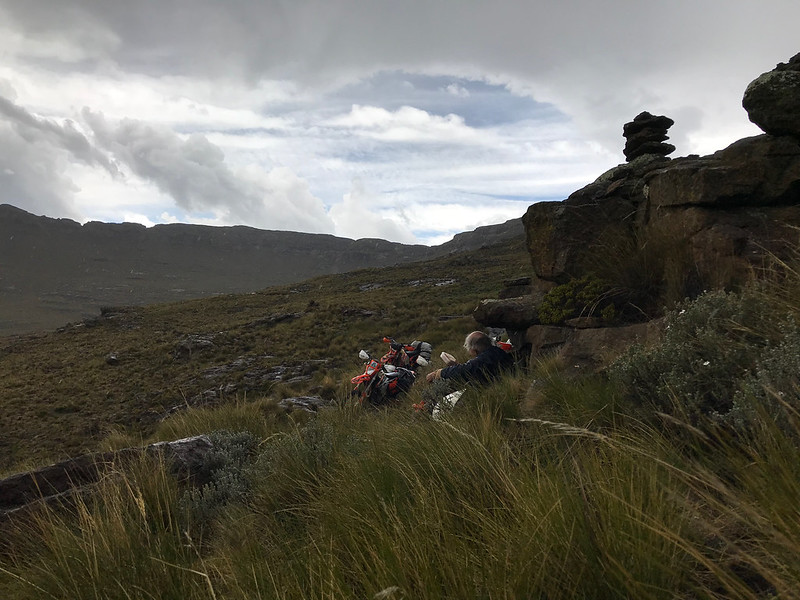
Kevin squeezed himself with Stuart and Iain, why found my own rock to crawl under, as there wasn't any space left with the other three. Just in time before the lightnings started hitting around.


47597548771_73e6a2fdb2_c.jpg


46873415164_7fbc21210e_c.jpg


46873417884_003bdd7b6a_c.jpg


47597561901_896ebac54d_c.jpg
 
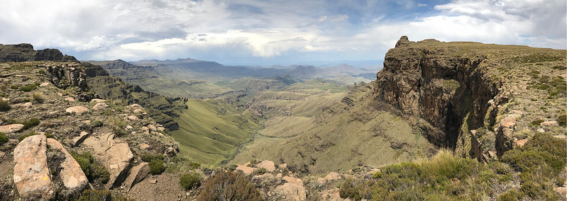
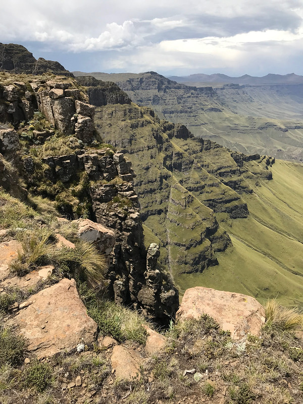
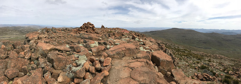
The storm passed relatively quickly and as soon as it was gone we were back on the bikes charging north, one valley/mountain range at a time. Soon we came to the turn-off to the Rhino peak and even though the weather was closing in again, we couldn't pass the opportunity to go and have a look as the views from the escarpment are magnificent.


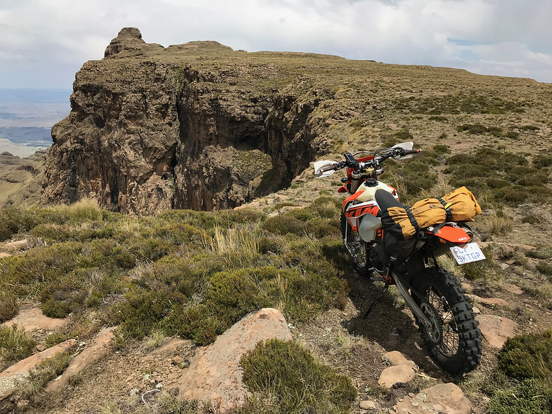
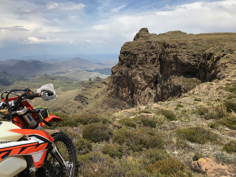
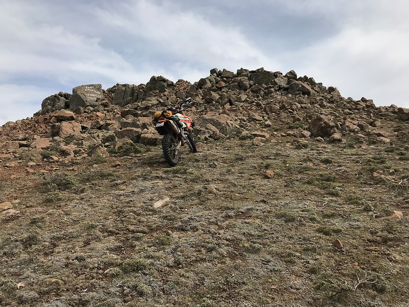
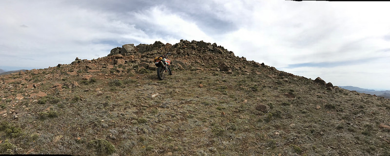
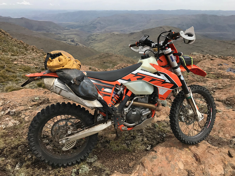
The Rhino peak - due to weather we couldn't linger and to ride all the way to the horn (or maybe on top of it...  >:D)


47544567092_cf8bbb8481_c.jpg


46681943055_9d9c13d569_c.jpg


And surrounds:


47597593861_bf51a90d13_c.jpg


46681978265_eacea8e50c_c.jpg


47597597951_ba74dee9e0_c.jpg


47544585552_e2735b4a70_c.jpg


47597635031_f7b4d4eecf_c.jpg


47597638621_2a4ec0a516_c.jpg


40631416883_d61f9676d6_c.jpg


46682756475_b95b75e344_c.jpg


46874300644_1e58df52fd_c.jpg
 
With the clouds closing in quickly once again we didn't linger and pushed on towars Sani. We were still only half way through, however we (i.e. Kevin and I) were now riding much more confidently as both of us have ridden the section from Sani almost to Rhino before on separate occassions so we knew what is in store for us and more importantly that we will be able to ride as as we have done it already.

47545394222_d7d15429ac_c.jpg


46682770535_8f2e05a952_c.jpg


46874313284_4d82e70e9f_c.jpg


46874317064_f6f09b16d7_c.jpg


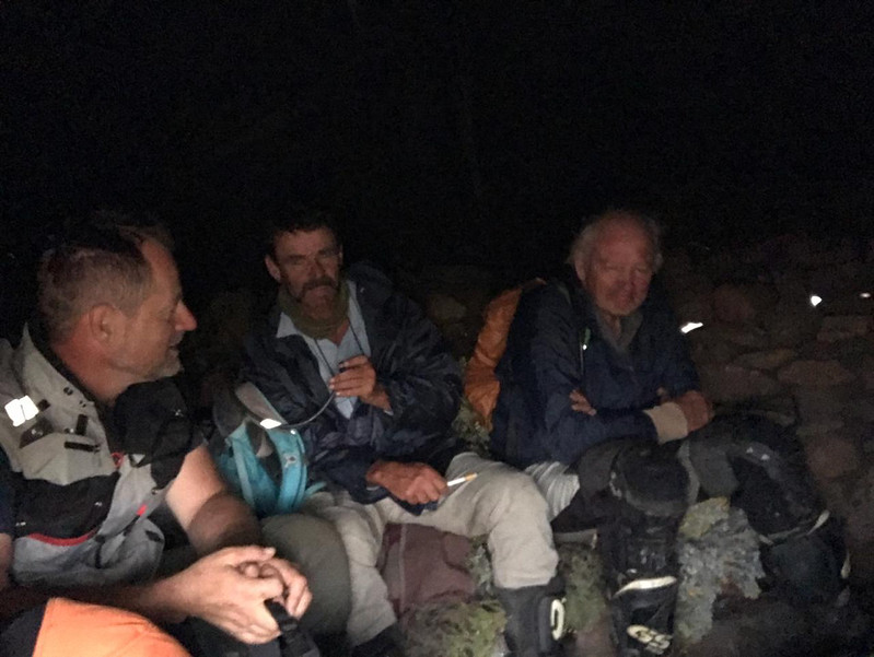
About half way through between Rhino and Sani the weather caught up with us and we barely made it to herdsmen huts before the storm hit with a full force. There were no herdsmen around and we just settled in to sit it out.


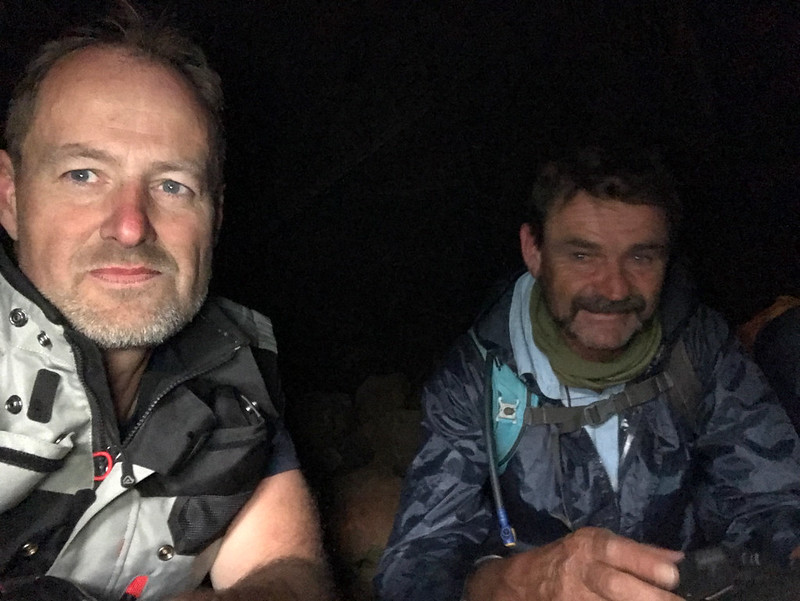
Iain and I in the darkness of the hut:

47545404022_2d6866698c_c.jpg


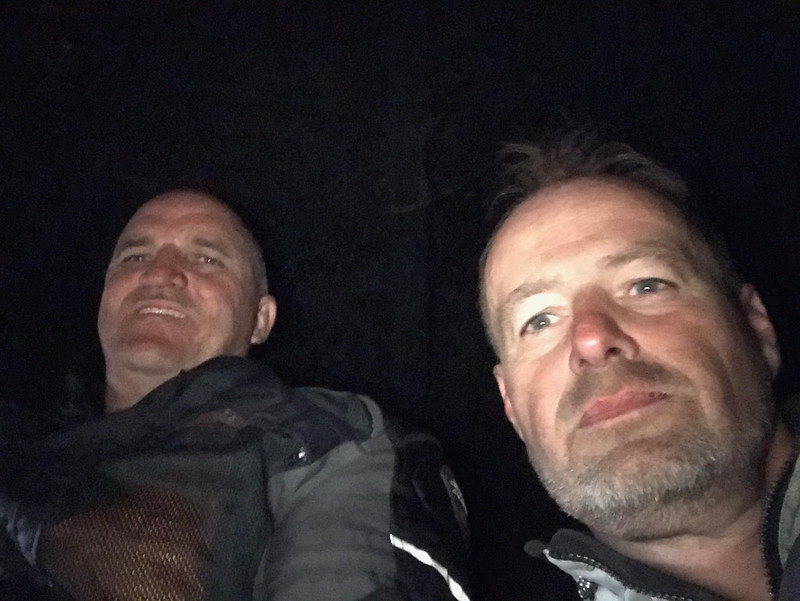
Kevin and myself:

47545412912_d4d593549f_c.jpg


And the Matat top guns:


47545414042_74ff921389_c.jpg


Once the storm passed we gunned it for Sani, as Iain and Stuart were keen to make it home the same night and so had to get to Sani before border closes. We arrived with time to spare at about 3:00 pm, and had beer and chat at the Sani pub. As a city corporate cat working in an abstract world of banking I always feel somewhat inadequate when in company of people who do real work, like farming. But they were nice enough to me so I relaxed and we had a good chat about life and stuff.

Kevin decided also to head home. Originally he was considering joining me next day for a ride to the highest mountain in southern Africa Thabana Ntlanyana, but I guess he had enough for the time being and opted for the comfort of his own bed.

With the beer finished I helped Kevin load up the bike and then we said our farewells. I ride mostly solo out of necessity, so it was really great for once to share company, especially with the likeminded gentlemen I had the priviledge to ride that day. Thanks gentlemen.  :thumleft:
 
Xpat said:
The storm passed relatively quickly and as soon as it was gone we were back on the bikes charging north, one valley/mountain range at a time. Soon we came to the turn-off to the Rhino peak and even though the weather was closing in again, we couldn't pass the opportunity to go and have a look as the views from the escarpment are magnificent.


The Rhino peak - due to weather we couldn't linger and to ride all the way to the horn (or maybe on top of it...  >:D)


47544567092_cf8bbb8481_c.jpg


46681943055_9d9c13d569_c.jpg


And surrounds:


47597593861_bf51a90d13_c.jpg


46681978265_eacea8e50c_c.jpg


47597597951_ba74dee9e0_c.jpg


47544585552_e2735b4a70_c.jpg


47597635031_f7b4d4eecf_c.jpg


47597638621_2a4ec0a516_c.jpg


40631416883_d61f9676d6_c.jpg


46682756475_b95b75e344_c.jpg


46874300644_1e58df52fd_c.jpg
Awesome pics

Sent from my SM-G955F using Tapatalk

 
Enjoyed that, thanks for sharing.

Sent from my SM-G950F using Tapatalk

 
Day 3 - Sani to Mokhotlong via Thabana Ntlenyana


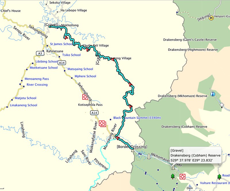
The plan for the day was to make it to Mokhotlong over the highest mountain in Africa south of Kilimanjaro - Thabana Ntlenyana. I have been there before but did not manage to cross over to the next valley that would take me to Mokhotlong and returned back to Sani. So I wanted settle that.

The planned route:


40641532713_4aacd1d52a_c.jpg


I slept over at the Sani top lodge. In the morning I geared up and headed out. First few km I took tar towards Black mountain, even though in the and then roundabout the turnoff to the Sani Stone lodge I turned right and rode north towards the mountain range that stood between me and the next range, highest point of which is Thabana Ntlenyana. This was a different route than last time, when I rode on tar all the way to the top of Black Mountain and followed cattle tracks from there. Now I had to get up on top of the ranges from the valley starting on top of Sani pass where the lodge is.

Leaving Sani valley (I'm sure it is not its name, but you know what I mean) behind:


46682794545_4798112133_c.jpg


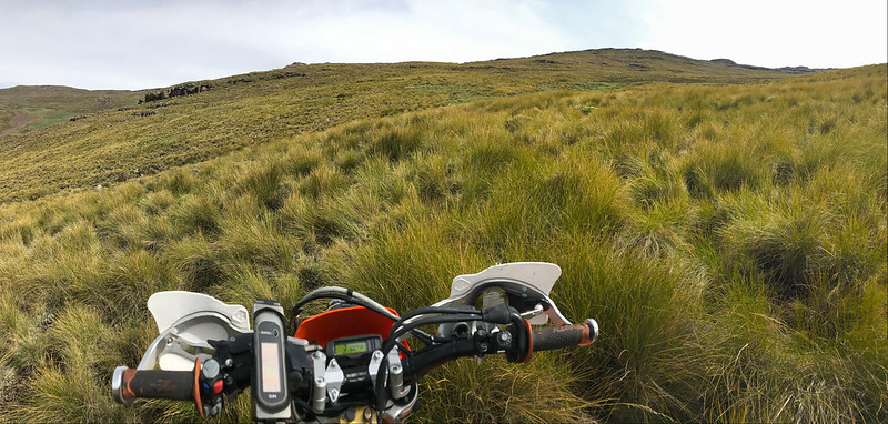
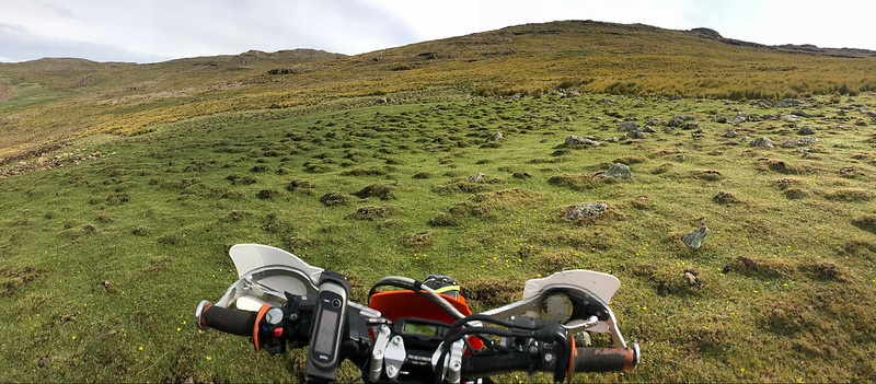
Soon I hit the side valley I hoped was easy enough to get me to the top. The valley was wide and not steep - exactly as I hoped for, but it was overgrown with big knolls of grass which made for slow frustrating progress as one couldn't see the rocks underneath and the knolls were as good as rocks at throwing the bike around.


46874336484_d855a8f48e_c.jpg


46682802465_1962772fa7_c.jpg


46682820525_9fcd1a1e48_c.jpg


32656032537_4df911899f_c.jpg


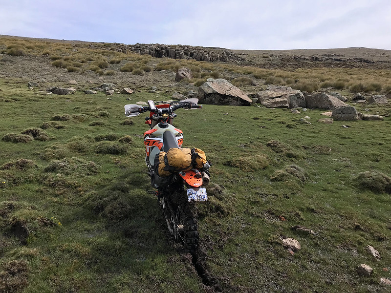
Mushy swamps at the higher reaches provided welcome break from the savanah below, but one had to be carefull as they were very wet and one could get stuck easily, as I did in the next valley:


32656039277_0e06d85d12_c.jpg


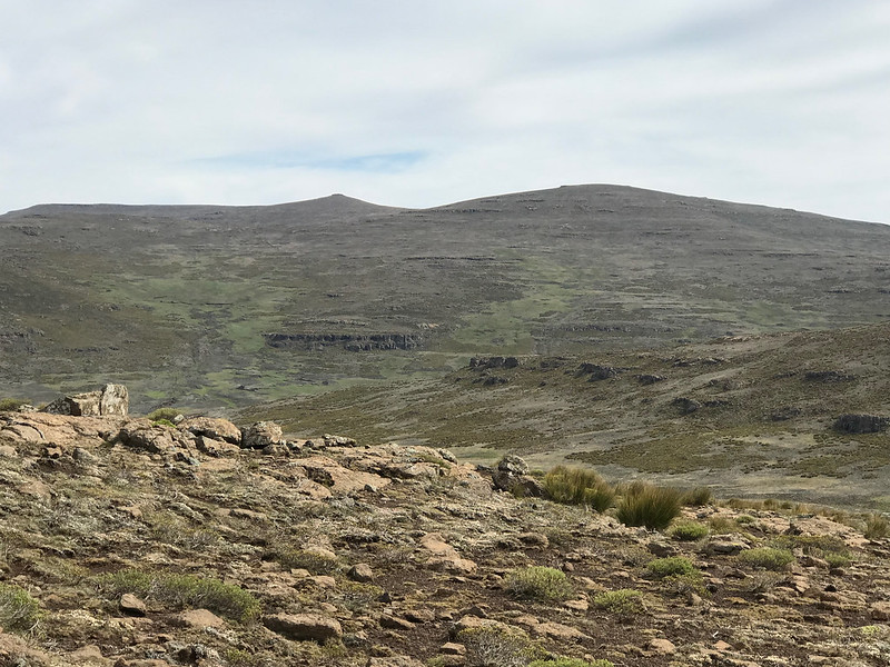
I have made it to the top of the ridge and got my first glimpse of Thabana Ntlenyana. As far as the highest mountains to, this one is probably the least remarkable of all - it is that little nipple to the left of the centre on top of the next ridge.


32656042657_34b4298eec_c.jpg


After I crossed river and headed up the summit ridge, I got stuck in a marsh and it took me a while to get unstuck again.


47545469672_33b687eff6_c.jpg


40632271493_c40c02ff34_c.jpg


After that I cruised without further glitch to the top of the range and Thabana was clearly visible about 500 meters further on.


32656080307_b1bbe96f73_c.jpg


32656072627_c519f6b779_c.jpg


From there it was literaly easy cruise over wide backbone of the range to the unremarkable pile of rocks called Thabana Ntlenyana sitting at 3482m.


32656092807_18058fc256_c.jpg


47545521762_723e775301_c.jpg


46682881895_ec774d78ec_c.jpg


32656105037_69feb9d846_c.jpg


This is where I turned back last time, but this time I continued on the range for another km or two, and then I crossed over valley to the ridge running in parallel to the north of Thabana's one. I had to get to the valley behind the ridge, to connect to a dirt road that would take me to Mokhotlong. I knew from the maps that this may not be easy as the contourse were showing valley as very steep. Which it was - there was no way to get down where I originally planned.


46682891785_9b9b506282_c.jpg


47545537632_25a522cde9_c.jpg


46682904115_dbf23c58b6_c.jpg


I checked the map on my iPhone and saw that contours further east looked slightly more apetising. So I followed the ridge east and after hopping over small peak made it down to an adjacent valley from which I could see quite offcambery cattle tracks heading into my valley.


40632334373_091a8c155f_c.jpg


Thabana at the top of the opposite range


47598560331_4afbe2e946_c.jpg


47598563481_ef780d0f97_c.jpg


I have eventually found workable approach to my valley and there it was below me:


33721510018_b0171b33fc_c.jpg


46682916965_42a9219afb_c.jpg


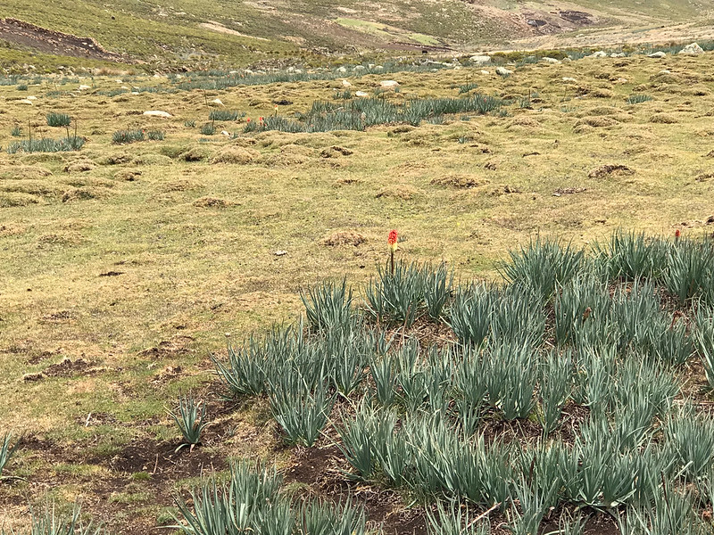
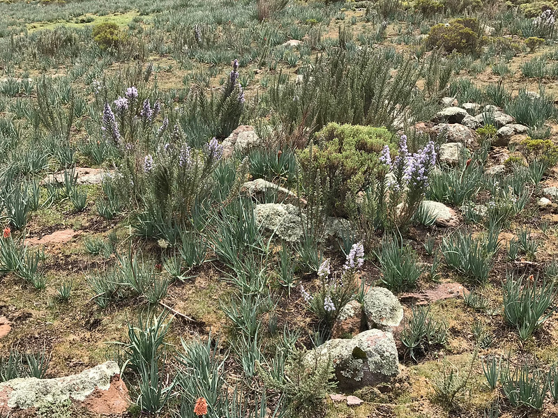
I was so elated, I started to take pictures of pretty flowers:


33721521938_4183aa4a5a_c.jpg


40632373833_21620acf8d_c.jpg


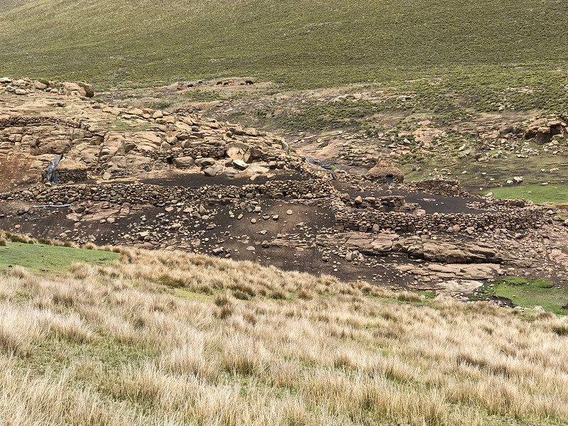
As I descended down the valley the first settlements came to view:


32656161467_e59cd031e2_c.jpg


46874489734_88bcf25d8e_c.jpg


40632389883_a158b42b5a_c.jpg


Until I came to the first village, where they were quite excited to see me. Clearly not many (any) bikes come this side:


47598615321_fbb52f18d9_c.jpg


I eventually came upon decent dirt road and followed that all the way to Mokhotlong 30 - 40 km away.


47598621161_7cb3e72dfc_c.jpg


40632402343_7ca6e72fde_c.jpg


47598629391_e896520c1a_c.jpg


46874522174_5c7ec98c13_c.jpg


32656192577_452e36443d_c.jpg


46874530004_0947698ea1_c.jpg


46874536754_bf81bb5b98_c.jpg


I arrived at Mokhotlong early at about lunch time. I briefly considered pushing up the Orange river valley as my next objective was to try to get up to the source of Orange, but decided to leave it for next day.

Instead I decided to move my base from Sani to Mokhotlong so I rode back to Sani on tar, loaded bike onto bakkie and drove back to Mokhotlong where I settled into Mokhotlong hotel. Next day I then attempted to find the source of Orange river and failed (that quest is described here: https://wilddog.net.za/forum/index.php?topic=235874.0) and afterwards I moved my base again to Katse where I met with Straatkat, TK and GregF for a 4 day loop from Katse to Mohale to Semonkong to Thaba Tseka to Katse (that one is documented here: https://wilddog.net.za/forum/index.php?topic=232705.0)


That is it from my side - I'm sure Kevin will add his own take on the remainder of this trip.

Thanks for following and comments :thumleft:
 
:ricky: :ricky: :ricky: Another awesome report! Thanks guys. I had a good chuckle there in the beginning. It seems the eastern block reputation precedes us Xpat :imaposer:

The riding you guys got up to is out of this world, though it looks like it was really testing/challenging at times. What a reward it must have been to climb those beautiful mountains.
Looking forward to the rest of the report.

PS Xpat, I saw your bike at Runner's shop again this weekend. Can't wait to read about your next adventure :)
 
Martin describes the mountainous terrain perfectly.  Up and down, up and down, up and down.  It seems to never end.  I’m in a happier place now, the bike is seeing 2nd gear occasionally and the terrain opens up, less rocks.  The hills are attacked at some pace, the bike feels nimble and I have some air moving past me.  My confidence is at last on the up after an uncharacteristic low.  I am able to keep up with the others, more or less. 
Until we get to Masai ridge.  The ascent is fine.  Better than fine, it’s actually good.  I gunnit up the steep slopes, mostly grassy and occasional eroded wash outs which my 525 relishes, popping the front wheel over obstacles and loving life. 
Then I reach the top.  The tops of these “hills” are not nicely rounded like they are in KZN.  They are sharp.  I feel as if my front wheel is on the down slope while my back wheel is still coming up.
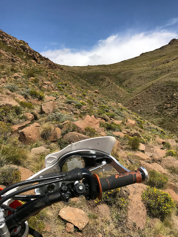
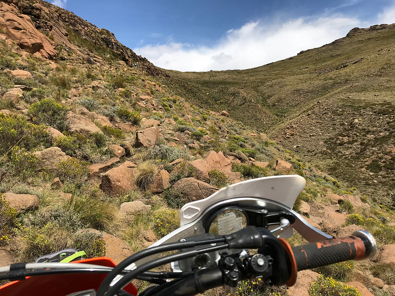
And I can’t see the north face of Masai ridge because my front fender obscures the slope.  I nudge forward.  This is insane. Surely we aren’t actually going down THAT?!
The terrain drops away at an insane angle down to the valley below.  I feel the confidence drain away.  I’m no stranger to enduro riding in KZN, where your steep downhills are short and usually have a tree or two to arrest your fall.  Not here.  Here it’s like looking down a mineshaft.  I imagine myself and 525 cartwheeling uncontrollably, stopping at the bottom in a million pieces. 


Sent from my iPhone using Tapatalk
 
I see Martin deciding to do the walk of shame, and follow suite, dismounting.  Iain and Stuart, adding insult to injury, simply launch down the precipice and much to the dismay and amazement of the two spectators, reach the bottom of the valley, probably 200m below. 
It’s a very very slow, cumbersome and painful descent,  the bike has all its weight and mine on the front wheel and the back is light and skittish.  My boots are not the best for walking at the best of times, and this isn’t even one of those times.  I see Martin finally find a place to mount and zig zag down the remaining section, but I can’t find a place to stop and manage to throw my leg up and over the 525 seat and luggage.  It’s hard enough to do at home on flat ground never mind on a mineshaft.  So I eat  humble pie and continue.  It takes me probably 20 to 30 min to walk my bike down the ridge.  The others wait patiently.  I get to the bottom and try to start my bike, it battles and finally starts, but smokes profusely.  I worry I’ve broken a ring or something but Stuart tells me that oil has collected somewhere it shouldn’t in the engine because of the steep protracted descent while the engine is off.


Sent from my iPhone using Tapatalk
 
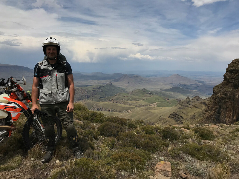
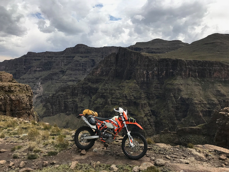
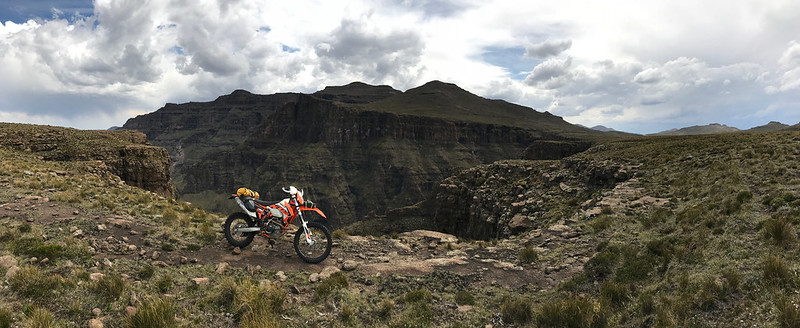
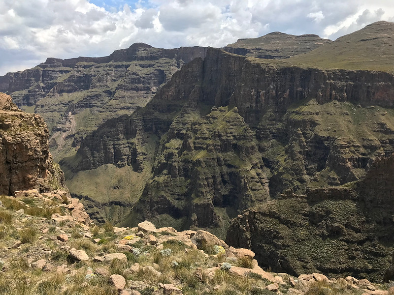
This is an intense ride.  There has been very little opportunity to relax at all, no “liaison sections” so to speak.  The flattish bit leading up to Rhino Peak is no exception, pock-marked with rocks, tufts of tough grass, small bushes and for once, some tight single track winding its way between obstacles enroute to the edge of the escarpment.  Martin has posted the spectacular pictures of Rhino Peak.  It has to be experienced first hand.  I have always looked at the escarpment from the KZN side, and it is breathtaking to see it from Lesotho side. 
We leave Rhino Peak and continue following GPS route towards Sani.  It is not really a route, it’s more of a polite suggestion, a clue to the general direction.  There is no track, I make my own.
After some time the route crosses a very slippery rock face river bed, I nearly bin it.  This damn invisible algae again.  The weather is looking threatening.  I look up an recognize the opposite hillside - this is where Jon and I turned around with our tails between our legs just weeks before, after running out of time.  As we work our way up the rutted hillside, Thunder starts overhead and big ice cold rain drops begin to fall.  As luck would have it there are a few herdsman’s huts on the hillside to the right and we get there just in time to avoid the downpour.  If those weren’t there we’d have been drenched and exposed to lightning etc.  To be honest the thatch hut is a false sense of security against lightning strikes but at least a false sense of security is better than none. 
I have to get down on all fours and crawl into the hobbit hut.  The door is so low my camel back scrapes the top of the door way.  Then it starts to hail.  Our poor bikes.  We have an opportunity to get to know each other and share some snacks. 
Our view from the hut:
9c26e60db7f798d2bc60a73a00f0f469.jpg

The rest of the trip is easy, I’ve been here before, such is human nature.
This ride was probably “just another day at the office” for the experienced riders in the group, for me it was a giant leap out of my comfort zone.  It taught me a lot about humility, patience, fitness (lack thereof), fatness (to much thereof), bike prep, and altitude riding.  It has recalibrated my “difficulty” scale and my “fear of the unknown” scale.
I was out of my depth but got through ok.  I know what needs work now.  And I’ll be back one day to settle the score, if anyone is keen to join?
Small print:  I might turn up on my 250 [emoji12]


Sent from my iPhone using Tapatalk
 
Fantastic photos of the view from Rhino! Thanks for sharing.
 
Awesome Ride Report and pics guys, well done  :thumleft:
I have to admit I was a bit bummed when I told Kevin that I wouldn't be joining him and Xpat on this trip, but with the benefit of hindsight, and a few of these pics, I think it was a wise decision.
 
Top