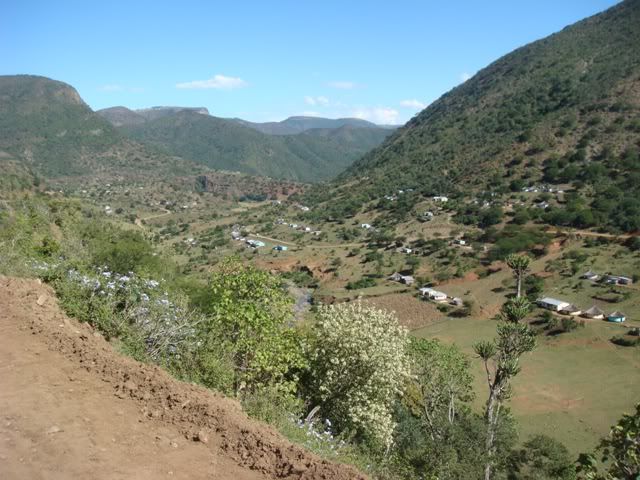
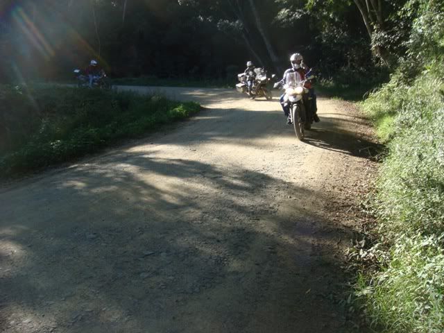
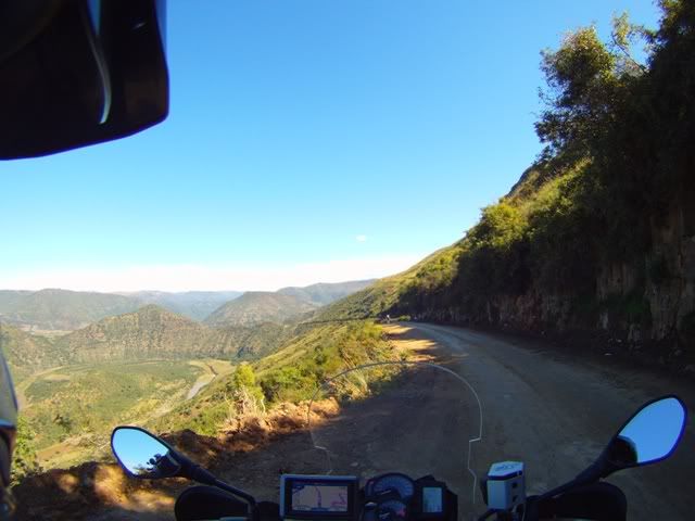
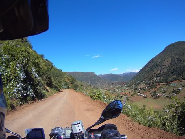
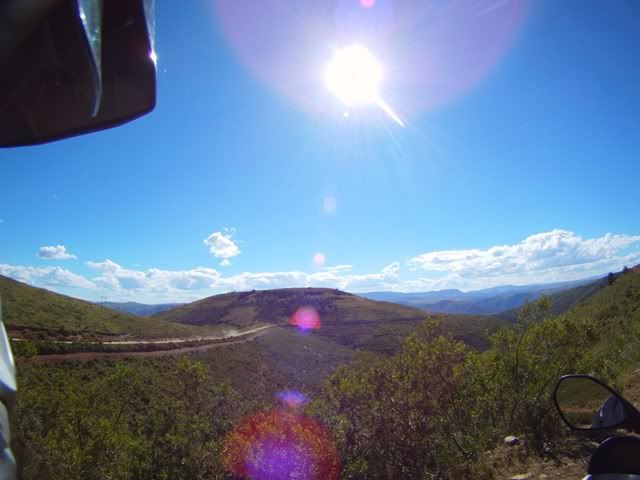
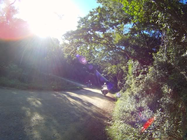
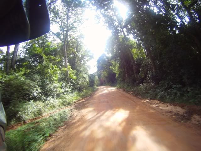
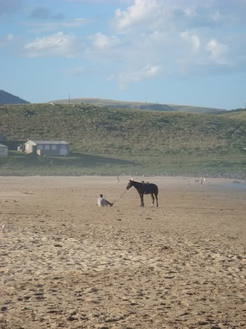
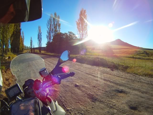
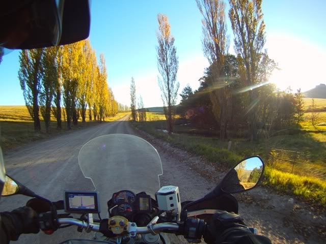
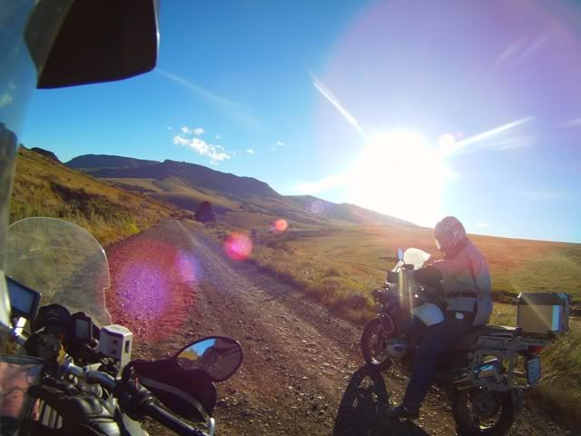
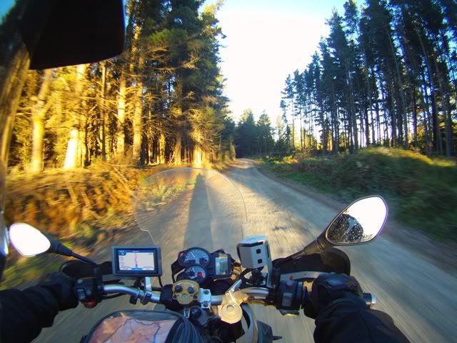
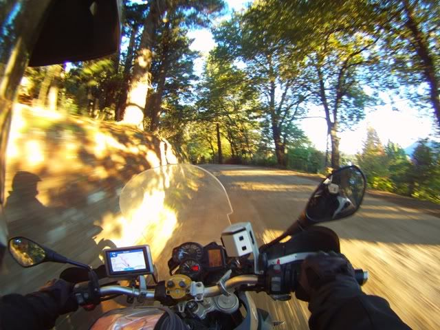
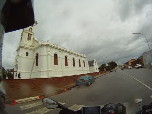
The Big five trip with an Oil change - Day 9 Completed (Sani, PSJ, Hogs,Baviaan)

This site may earn a commission from merchant affiliate links, including eBay, Amazon, and others.

White Rhino

Race Dog
Joined
Aug 19, 2009
Messages
3,931
Reaction score
7
Location
Johannesburg *South Africa*
Bike
BMW R1200GS
The Big five trip with an Oil change

Besides the less fortunate that depend on daily productivity to eek out a living, Easter in the Southern hemisphere offers employees the last of the consecutive Autumn public holidays before attacking the long slog through to December. 2011 offered an 11 day vacation in exchange for 3 working days leave.

There are those really amazing places in this beautiful country of ours that are just out of reach to cover in a couple of days, unless you are one of those jockeys that enjoy being in the saddle from dawn to dusk. The hyperactive jockeys that plot non-stop routes buzzing from place to place doesn’t really do it for me as much as exploring the surrounds of a place that deserves more attention.

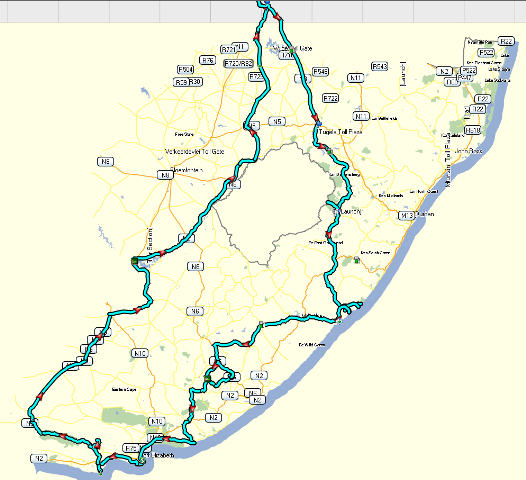
So with 11 days of Easter on offer, the plan was to find a loop that starts and ends in Jozi that included some of the most spectacular destinations in SA, and there are many. So I picked the South Easterly area: Himeville and Sani pass, Transkei (Port St. John’s surrounds), Hogsback and Baviaans. With only 4 primary destinations selected, the fifth highlight had to be picking the most scenic and diverse routes between each destination – hence the big 5.

With some input from fellow dogs and other ride reports, we planned the following route:
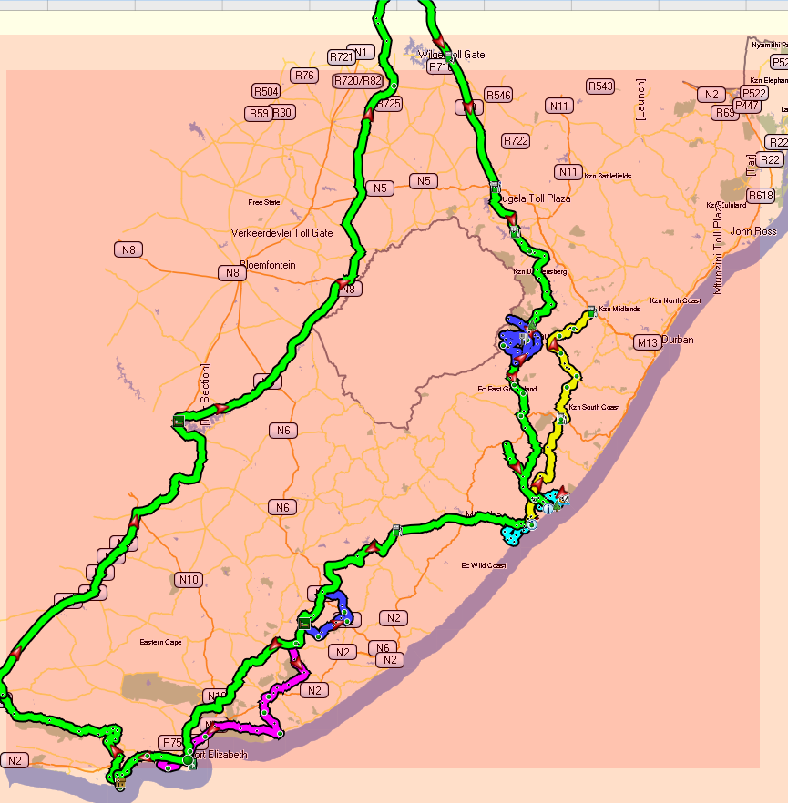
Easter2011Route.png


The route we eventually took…

00Easter2011triplog.png


The idea was to spend one day travelling to some location and then the next day to scout the surrounding area. We would book in for two nights at each major spot. That also makes things a bit more chilled rather than daily pack and unpacks. April is also a fairly safe bet when it comes to fair weather. Not to mention the spectacular Autumn colouring.

So the trip had the following outline:

Day 1 - Depart Jozi – Head to Underberg (mostly on the back roads after Harrismith) around 580kms;
Day 2 - Sani Pass – up around and down;
Day 3 - Head to Mboyti - near Port St. Johns, Transkei (Back roads where possible) around 290kms;
Day 4 - Ride around that area (Waterfalls, Gorges etc.);
Day 5 - Head to Hogsback (around 380kms);
Day 6 - Ride around that area (Forrest, Sandile Dam, Sutterheim etc.);
Day 7 - Head to St. Francis (via Kenton - around 390kms);
Day 8 - Day off – Lazy day on the canals, Oysters, calamari etc.;
Day 9 - Head into Baviaans (around 200kms) & overnight;
Day 10 - Head to Garieps Dam (around 440kms) & overnight;
Day 11 - Head home (around d 640kms);


Total - around 3,800 kms.

I had invited my wife, but she politely declined. In hind sight, I think that it was a good decision – there were some rough sections that made one’s eyeballs bounce in their sockets like a pinball  rattling between two poppers. She would not have liked the rough stuff – it would have translated into sore ribs for me  :biggrin:  

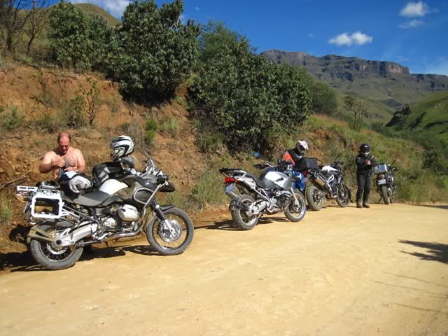
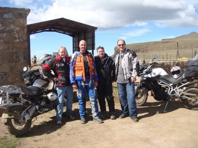
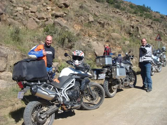
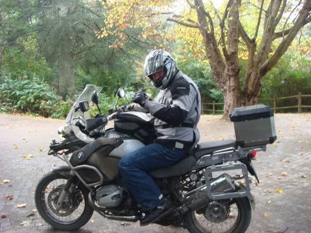
There were only four of us. Men only – or should I say, BOYS. A GS1200, a GSA, a Triumph 800XC and my 800GS. Two were only going half way and returning due to business and family constraints. My kids are all adults (well sometimes) and Jono is still practicing; so we had green cards.

A good reason for including St. Francis in the route, was for a scheduled pit stop. My wife was spending her Easter there and I would be ready for an oil change  :biggrin:  . Jono would have to suffer in silence.

We decided not to slum it, but rather to book into B&B’s. Jono’s wife, bless her wanted to come with, but being the only lass in the group, decided against it. She did most of the bookings for us. It’s a bitch booking over the peak periods. As it turned out the accommodation was first class.

Day 1 – Jhb to Himeville
There was an ominous start to the trip, good Friday turned out to be a long Friday for many cage travellers. There’s no other way to put it - the traffic was farking hectic. Bumper to bumper smothered by a grey foggy blanket. The last time I recall traffic like that was back when I was a student (before the Rinderpest) when the roads were single lane all the way to Durban. It was an insufferable 11 pain-staking hours crawling from Jhb to Dbn staring down a string of red tail lights like a trail of army ants, as far as the eye could see, clocking in around midnight – what a fricking nightmare.

With full panniers and a foggy view, lane splitting is not the wisest option, so the four of us snapped up the yellow lane and gunned it for the first 150kms until the traffic spread out a bit. Occasionally, the officianado with the blue light took umbrage to our tactics; he had already claimed that lane exclusively for himself!

The aim was to bullet straight to Harrismith and not bother with special route planning – N3 all the way. We were going to do around 580kms the first day. The holiday would really only start from Harrismith once we broke away from the N3 towards Sterkfontein. In hindsight, that was a mistake, maybe we should have opted for back roads. Being Easter, it’s any body’s guess if it would have been less hectic. Anyway, we made fair time and the yellow lines worked for us.

It was coming up to the Africa Bike Week, the annual Harley rally in Margate, so the roads were peppered with all kinds of colourful machinery. One fellow had a Suzuki Boulevard cruiser that had some broad, with a big pair of personalities, airbrushed onto his tank and mud guard. His air intake was a chromed lance ready to spear anyone who attempted to get in his way. He had two beads of blue lights running the length of his fender and under his tank. I regret not taking a picture of this character and his wheels. Another old geyser was towing his Harley like it was a prize bull. He would no doubt, fire it up and drive it around the corner to the rally punching in like a hard core biker with his pisspot helmet, tassels and flapping bandana. Whatever floats your boat, I guess.

The filling stations looked like an Indian bazaar running a clearance sale. It was a feeding frenzy with queues running back for miles. No doubt there were hoards of people that were cussing at that point, not having filled up before leaving. I was riding on the grass verge past a row of cars and had a close call by one restless fellow who had lost his cool and decided to jump the queue, cross country. Idiot just shot out, we so nearly kissed!

I was due for a leak but hit reverse promptly when the queue started at the cashier near the entrance – wtf, I’ll find a thirsty bush somewhere! We couldn’t get out of there fast enough.

In my book, one important criterion for a decent biking holiday is not to do excessive distances otherwise it becomes a grind and tension starts to work its way into people’s inner core and manifests itself somewhere down the line. The farthest stretch was to be the first and last days, leaving and entering Jozi. Let’s face it, there aren’t any exciting roads in and out of Jozi bordering the Free State – it’s so flat you can see tomorrow coming. The balance of the route would max around 300 to 400 kms per day between each destination; that’s perfect for a days travelling. The daily surround trips would also not exceed 200kms, that way we can start the day with a decent breakfast, take lots of breaks, have a relaxing lunch and soak up the surrounds.

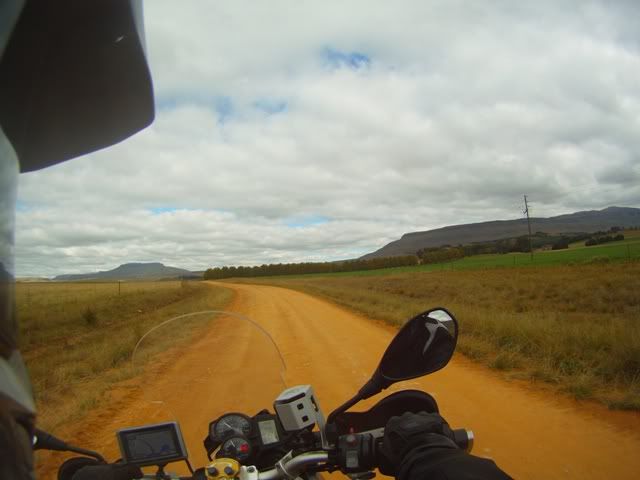
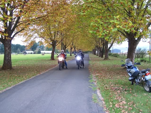
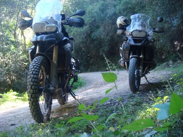
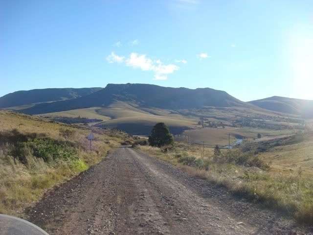
The route around the Sterkfontein dam lifted our spirits and diluted the memories of the recent traffic. We tasted our first dirt and it was equally welcomed by my new Heidenau K60 Scout rear tyre and TKC80 front tyre. Nothing like dirt roads that connect you directly to mother earth. You become one with the planet. The best way to physically experience the essence of Africa is via dirt. Riding on asphalt is like having sex with a condom. So wherever I could, without taking detours, I selected dirt roads for us. My new springs, and rear shocks placed me in control with great comfort at all speeds. I was loving the world and lapping up the scenery. Each crest revealed the secrets of the next valley. Circumnavigating the berg on our right hand side was a real treat. Mountains only declare their full might to the spectator on close proximity. We were all enjoying the earthly scapes and had forgotten about any other woes we might have had at that point. This is where DS biking really gives me a woody (sorry ladies – commiseration that you can’t get one). The differing shades of green brush intertwined with the autumn hues, the back drops of green getting greener the closer we got to Himeville.

The GSA only needed to fill up once compared to the rest of our two or three stops. We had filled up twice already. This caught Jono off-guard. He suddenly realised that the next major stop was beyond the elephant’s reach. We scanned the Garmin for fuel stations close by and followed the suggestions only to find that the filling station had been removed in Jan earlier. So with the extra kms racked up hunting for fuel, Jono’s limited fuel became a potential problem. The lesser fuelled bikes had joyous visions of towing the elephant to the next town. I spoiled his anxiety; my spare fuel pipe put him at ease. Non the less we would have framed the scene had it happened.

During a recent 1 day Techie course that one of the Dogs gave (Adventurer – Kurt), he suggested what one should carry when heading off-road. Consequently, I was suitably prepared for most situations. I had proper tyre levers, compressor, jumper cables, tow rope, tools galore. My top box was a full on rescue box plus my Tooltube was stuffed with some medical paraphernalia. I was considering putting some Jack Daniels in the Tooltube instead – which could serve to rescue an emergency of another sort. One hopes not to need the rescue stuff, but time would ultimately tell.

My Corbin comfy seat served my ass perfectly well. I had no discomfort at any time. The original 800GS seat is fcuking kark. I would find myself doing all kinds of leg tricks to keep the blood flowing. No shuffling required any longer. Plus, the extra spoils that I furnished my bike with made for a very enjoyable ride. The raspy note of the Remus pipe was constant music to my ears. The wide pegs and handlebar raisers meant that I could ride standing up for hundreds of kms without feeling worn out.

The tyres purchased the gravel like syrup sticks to bread. It was my first Heidenau rear tyre. I was suitably impressed. Behaved well in the wet. Clings to the tar at speeds well above 120. No head shake, no speed vibrations, and virtually no road noise. I pushed it to 180 and still no problems or difference in behaviour. If I get 8 to 10 thousand kms out of them, that will be the tyre set for me from now on.

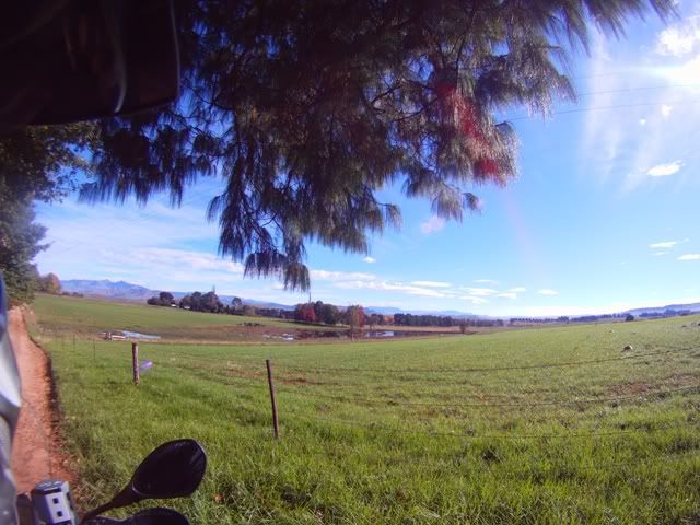
Travelling through some of the farms in the more developed areas proved to be spectacular. The geometric shapes lined with stately trees each with its own texture and each presenting its own earthy colour creating a collage of harmony that is unique to the midlands. The occasional horse stock meandering around created the sense of tranquillity that all city dwellers envy.

After travelling across some stunning hilly gravel roads, we arrived in the very quaint town of Himeville in the late afternoon. We stayed at a stunning B&B - the Karmichael Farm looking straight into the belly of the Drakensberg looking up at Lesotho. I can recommend the place.

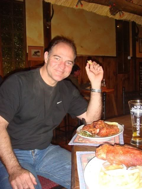
Freshened up, we made our way to the Hiemville Arms. We walked into a charming pub with great atmosphere and a warm crackling fire. Several ice cold frosties later we challenged our stomaches to an Eisbein. With out any doubt, the best one I’ve had. The crackling had been crisped to perfection. Discussion centred around the days events followed by deep speculation around the conditions and possibilities of the next days events, up the Sani pass. Mike had Mitas E07 tyres, Brad had Battlewings and Jono also standard road tyres. The question that was about to be answered; did they have the correct tyres? The weather would play a hand in answering that.

Some of the pictures on this leg.
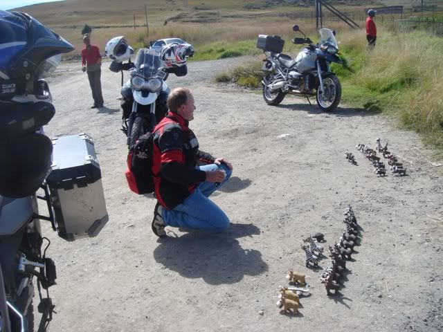
01SterkfonteinDam.jpg

Local produce at Sterkfontein Dam

01KZN-8.jpg

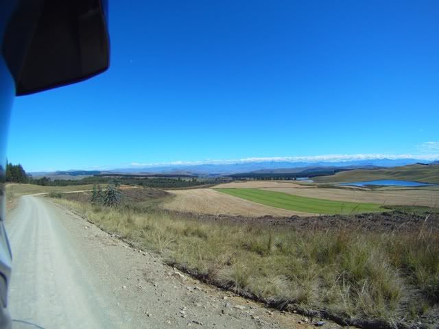
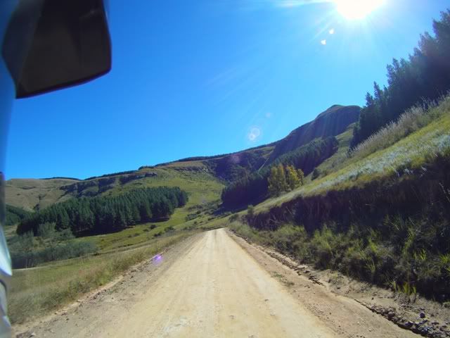
The gravel roads are great

01KZN-6.jpg

It gets greener as we head further East
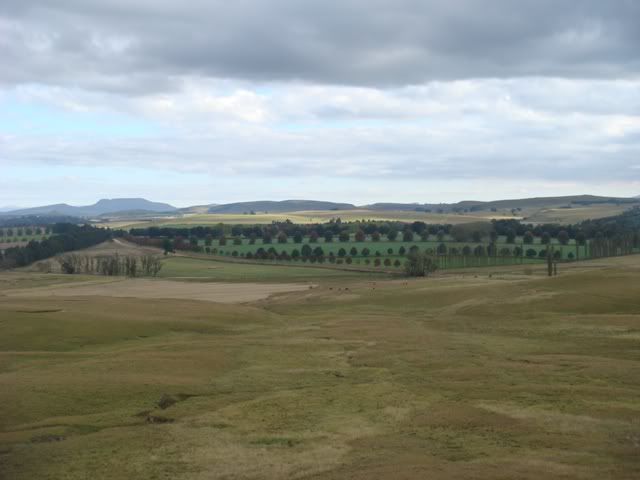
01KZN-9.jpg

Decorative landscape

01KZN-2.jpg

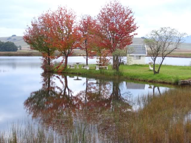
Lovely time of the year to capture colours
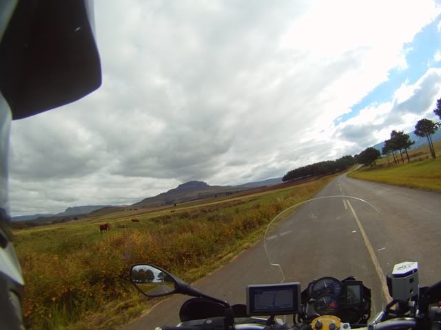
01KZN-4.jpg

Approaching Underberg

01KZN-5.jpg

Peaceful countryside

02Heimville-1.jpg

Green as far as the eye can see

02Heimville-2.jpg

In Himeville

02DSC03624.jpg

Our accom – looking at Sani pass

02DSC03626.jpg

Where we will be going tomorrow

02HeimvilleArms-Eisbein.jpg

Only for the daring …


To be continued ….

 
Day 2 – A Small bite of Lesotho

My internal buzzer goes. I wake up my at my usual insomniac baby hour around 4am. Thank God, I brought my iPad along to fill those early moments. I enjoy the early hours. There is a certain peace that settles in temporarily that you don’t get at any other time of the day. Thoughts go uninterrupted and I can peek into the world and catch up on events. My iPad fits snugly in my pannier without compromising any space. It’s doesn’t have any moving parts, so it’s ideal for these sort of trips, especially over rough terrain – there’s no concern of hard drive failure and the battery life is around 10 hours so it’s a great companion.

I dial in to see what the weatherman had install for us. The predictions were favourable. There is some cloud cover but chances of rain are close to zero – yeeha!

Brad had done Sani a while back on his old KTM 950 with a friend on a wet day; they were suitably punished. His new Triumph was finally to be put to the test. The preparation trip we did up Breedt’s nek weeks back was a far call from the might of the Sani. His choice of tyres should prove to be less significant on a day like this.

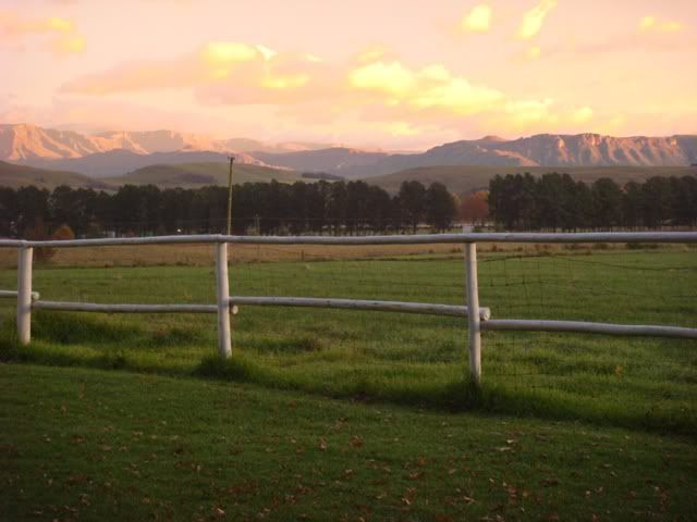
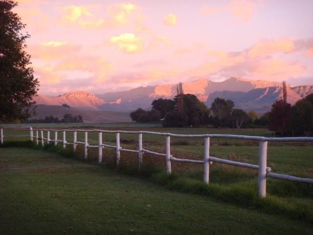
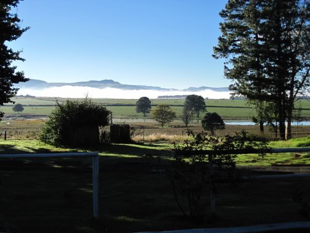
Dawn breaks. I take a peek outside. There is a distinct crispness in the air. Bluish  skies greet me. What an awesome place to wake up. Jono brags a fancy camera and is taking advantage of the sun rising trying to pocket some of the beauty that embraces our dwelling. There is a sheet of mist that kisses distant ground that gives an aura of protection to otherwise pristine farmland. The backdrop of the Sani pass up to Lesotho awaits us with boldness.

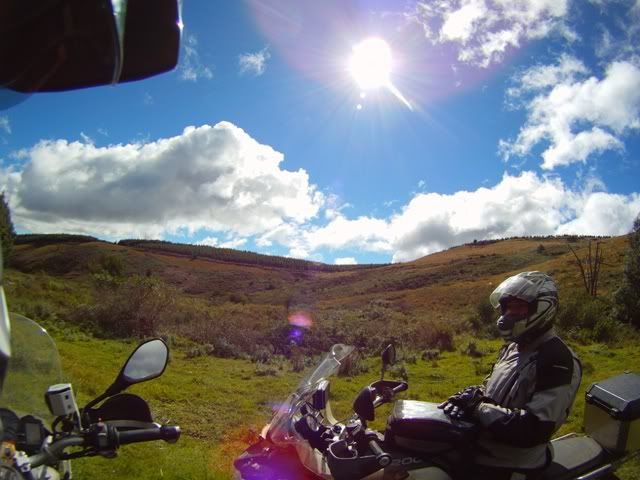
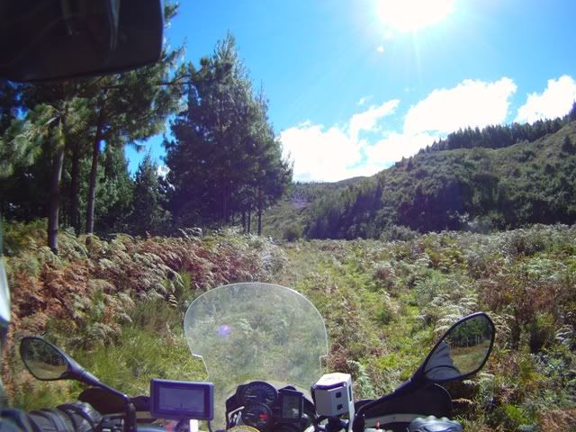
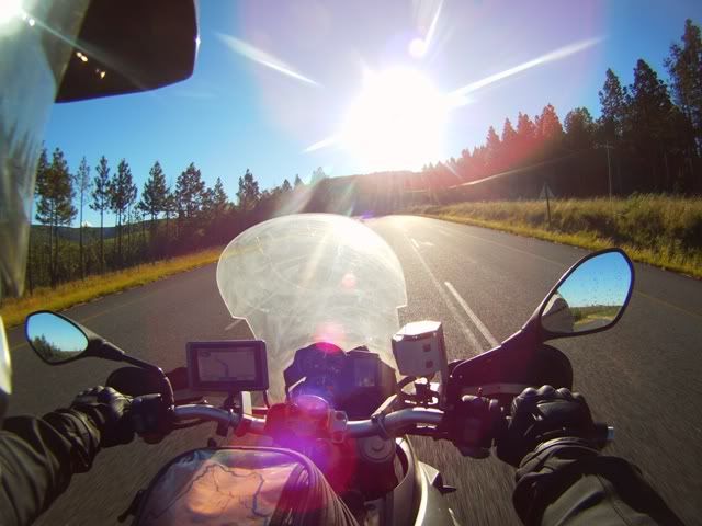
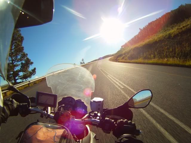
After a decent breakfast, we donned lots of warm kit in preparation for the icy mountain tops, ready our bikes and head out to the Sani Pass junction. I had recently bought an action camera which I reconfigured. It has three modes, singles, repeats and video. It's a bonus having a remote control which I smartly strapped to my handlebars. Up until now I had been taking single shots. I set it to snap every 5 seconds, that way I could capture the moments as we wind our way up. Mike also had a GoPro camera attached to his helmet. His was set to record videos. Both of ours had 170deg span. We should have things covered.

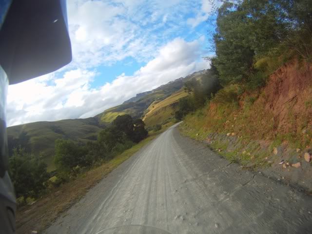
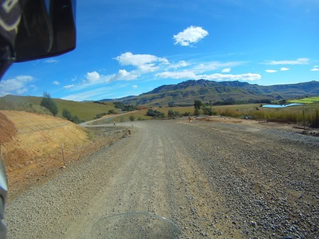
The first few kilometres are surfaced with small stones laying patiently waiting for some hot tar. It appears that the stones had been promised tar for a while. This road is clearly not a priority for the official departments. This is my first trip up Sani so my eyes are wide open takeing in as much as possible. The farms at the base of the mountain offer fluorescence of green amongst the golden and lighter green shades. The mountain is the backdrop – and it is spectacularly huge. My heated grips are warming my paws up nicely. By now the mist had burned off, leaving a fresh serving of mother earth, nature’s best, as a peace offering to the sun Gods.

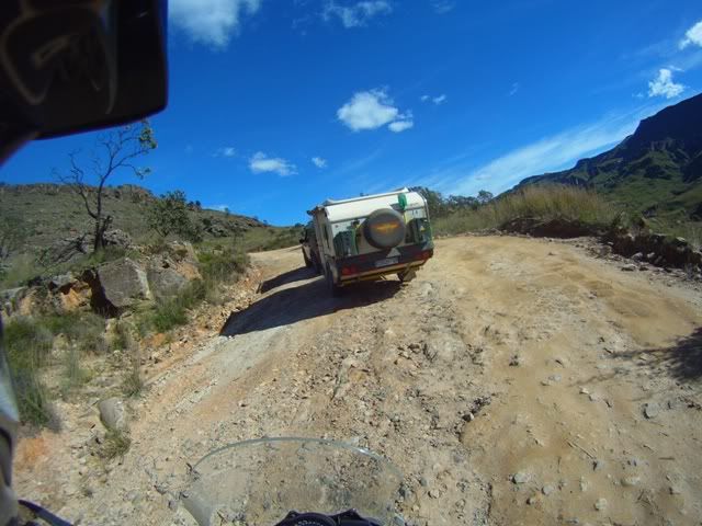
There is a flurry of vehicles, resembling a modern day groot trek, filled with eager passengers making their way to he top. We pass one after the other. Some vehicles pulling some seriaas camping objects. The sun and the windy road was working on us. It didn’t take us long before we were building up a head of steam. We stripped down all the extra layers we embarked with. This section was easy going. The surface of the road is pretty good, no loose stuff yet, just good hard pack. There is the occasional brave (mad) cyclist that took Sani on. We wave our respects. We cross the SA border with minimal fuss, no reg. papers only passports.

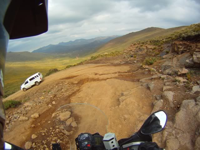
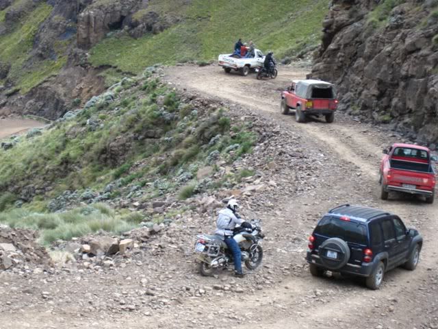
After the border, the conditions improved, which means they got rougher. The incline steepened, the surface loosened. The last kilometre being the most challenging; it was peppered with devilish small stones. But what made things awkward were the vehicles struggling to make the sloped turns. Negotiating decent lines into the turns was sometimes impossible alongside these battling vehicles. Experience taught me that I shouldn’t stop, especially short riders that struggle to place both feet on level ground at the same time. Unashamedly I nearly bought some turf on two occasions; rear wheel spinning under the gradient, stones spitting out of the rear. Initially not purchasing much grip, then finally it takes, and up we charge. What an adrenalin rush! Brad is at the top beating his chest demonstrating approval of his conquers.

I’m also grinning and purring like a Cheshire cat that has just nailed it’s first prey. You look down and have to salute the many that have laboured this. Most of all, the men that carved this awesome road linking the two countries – I salute them silently. We check in at the Lesotho border, R30 – no papers, no fuss, just passports needed. Today they will make a killing, there are loads of travellers still climbing. In fact Easter weekend should prove highly profitable for these less fortunate people.

Another group of riders clocked in shortly after us, equally chuffed with their achievements. There is a certain buzz that radiates from these ascendants. Sadly you get people that always have something to complain about. One of them was bitching how he dropped his Super Tenere as a result of a fellow rider that stopped “on purpose” on one of the turns. You’ve gotta be out of your lid to purposely stop on a steep incline on a u-shaped bend. He then proceeds to bitch about the money, he says it used to be only R5 and was going to demand a receipt! What a chop, the sheer joy of the expedition went right over his self-centred pip.

We soaked up the enormous vistas from above. Looking down the top of Sani pass, a mountain conquered, releases a sense of euphoria. I was offered a small taste of what a mountaineer must feel like when they conquer their peaks. We watched in amusement from above on as one 4X4 vehicle was struggling to complete a turn. He clearly didn’t have diff lock. His passengers were eagerly pushing. After several back and forth attempts he eventually got going. Less capable vehicles would have a more memorable day of Sani.

We dive into a wholesome chicken curry amongst the warm buzz in the rustic pub above. The curry complimented the cool weather at the top. We knock back some local Maluti beer that’s equally fitting and before the day is totally wasted, we head on out. We opt to go 50kms inland to spot the northern section of the dam. The weather inland is not as friendly. Neither is the terrain. It has a rugged cold harshness about it. There are no trees, the vegetation is sparse. It’s perfect for off-road and DS riding. We had the perfect tools for the job.

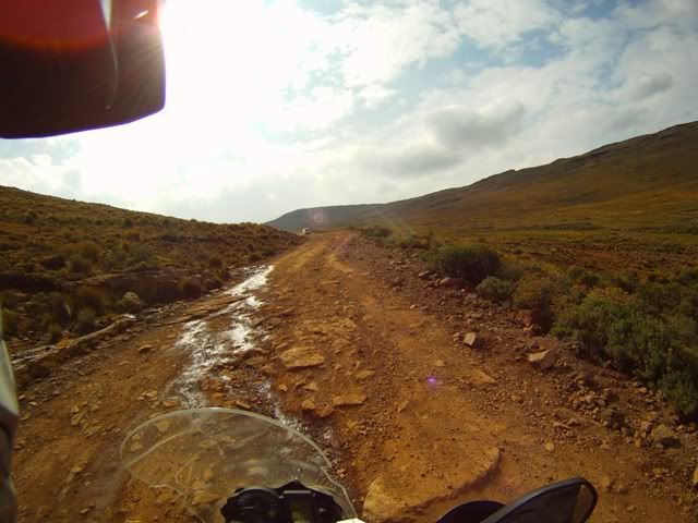
The condition of the road in some parts, were worse than Sani Pass. The rocks were bolder and the surface somewhat uneven. Nonetheless, a great Jeep track. Concentration was still required to negotiate safely the around the rocks. In the distance, some foul weather had gathered. Without sun, Lesotho gets cold quickly. The temperature slumped.

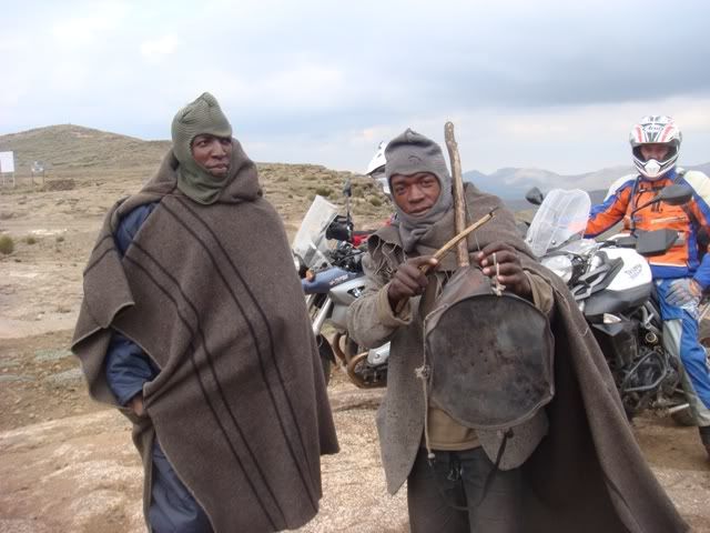
Jono only filled his elephant’s belly (33lt tank) with less than half the full quota. Understandably, he didn’t want to battle the extra weight up and down Sani. So, the combination of limited fuel reserves and possible rain, we chickened out half way to the dam. The turning point provided us 5 min musical entertainment by some locals playing on a homemade instrument constructed of a bow attached to a tin can. Jono compensated them as a token of our appreciation of their home grown talent. We captured their grateful smiles headed back to the border post accompanied by grey skies and intermittent drizzle.

The challenge of Sani was not over, we had to negotiate the steep descent accompanied by many 4X4 travellers. Many of them were polite, and were happy to let us pass, but some just didn’t give a damn forcing us to steal passes. With ABS disabled, the downhill ride to the border post was pretty easy going and a lot of fun.

At the border we bumped into some acquaintances from some previous event. A very friendly Ryan and friend and his mustard GS1200, branded Mandy. Yip, I know, who calls a bike Mandy? The mind wanders …. Next stop, Himeville arms in search of frosties.

With the sharks game on, the arms quickly packed out with rugby supporters. Our attire gave us away. Friendly faces wanted to share in our day’s adventures. We were happy to share our experiences with envious enquirers. The pub was a festive place. We learn that the Splashy Festival was on the go and we want a piece of the action. I call a friend, an old time musician in the area, which has played at Splashy many times before. But this year for some reason, he’s not playing. So 40kms each way, riding at night after beers was not altogether a good idea. So we opt to head towards our digs to find a place to eat closer to home.

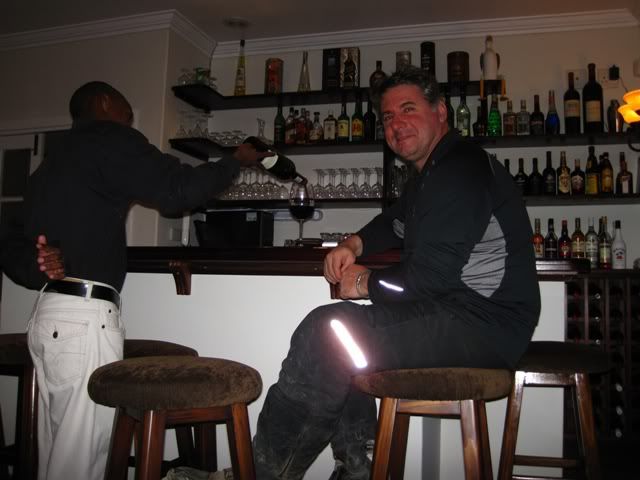
We find this B&B one km from home which catches the photographic eye. We pull in, cameras readied to frame the exquisite beauty. After a brief photographic session we all settle indoors.

Indoors, there is a roaring fire going. Quite chatter around the fire by well groomed guests. Enter dusty riders. My shitty pair of squeaky riding boots layered in mud attracts everyone's attention, but they politely keep their comments to themselves and continue with their chatter.

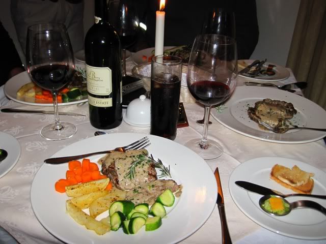
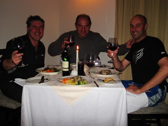
With a sophisticated wine selection, we quaff a few bottles of select red wine accompanied by an exquisite cuisine dinner, jovially chatting over the day’s events. Everybody is chuffed; especially Jono on his relatively new adventure and Brad on his Triumph. The first of the boxes of the big five get ticked! The conditions were perfect, tyres were not an issue.


Pictures of the days events ….

IMG_3627.jpg

What dawn had to offer

IMG_3631.jpg

After wiping my eyes, this is still what I saw

IMG_3635.jpg

The KZN table cloth

02Sani-1.jpg

The approach to Sani

02Sani-5.jpg

Some die hard campers

IMG_3643.jpg

Show me those titties

02Sani-19.jpg

The spectacular climb

02Sani-25.jpg

Some idea of the inclines

02DSC03612.jpg

The photo you send back to your parents

02Sani-29.jpg

Inland road conditions in part

02DSC03618.jpg

The stranded musicians

02Sani-35.jpg

The road back down

IMG_3695.jpg

4  O'Clock rush

IMG_3699.jpg

Classy living

IMG_3707.jpg

Imagine having to wakeup to this everyday?

IMG_3717.jpg

Making new friends

IMG_3718.jpg

A dinner to suffer

IMG_3721.jpg

First of the Big five - Done


To be continued ….
 
Day 3 – Himeville to Mboyti

We bid farewell to the stunning town of Himeville. A conscious thought is spared for the loved ones back at home. Solemn promises of returning with families to share in this almost religious experience of tranquillity and beauty.

We load up the next destination on our Garmins – “Underberg to Mboyti” and head due South. The weatherman is once again kind to us. He dished up blue skies, warm conditions and minimal wind.

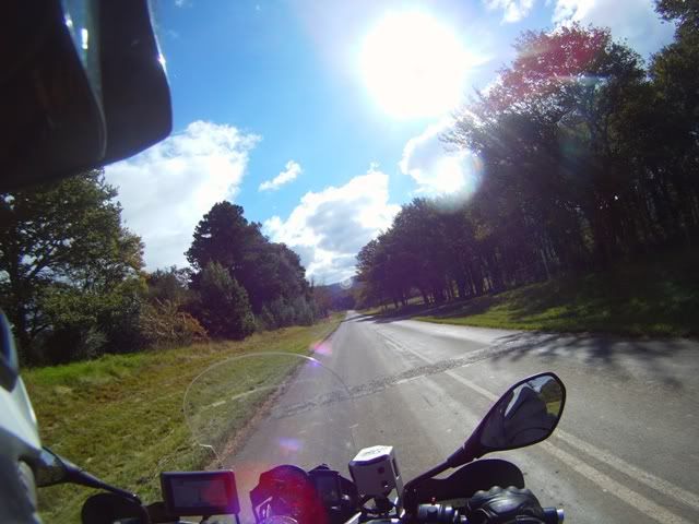
The route takes us through some good gravel farm roads parallel to the R617. South Africa has many gems, the KZN berg area is one of them. It’s the Switzerland of SA.

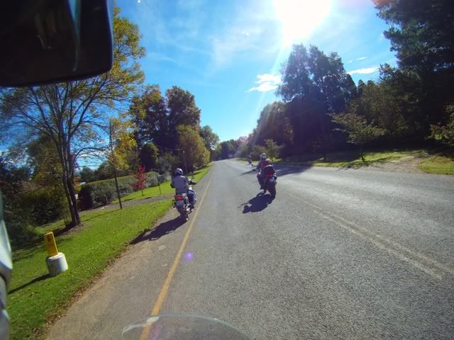
We blend in tar with gravel. The tar sections are in perfect condition. Lots of twisties, we take full advantage, we open up. First fuel stop, Mike confesses his oversight to replace the air in his tyres after Sani and puzzled why his bike wasn’t rolling evenly through the corners at high speeds. Anyway, his riding skills makes up for technical imperfections. He handles his GS like his mastery of his dirt bike. I was surprised that he didn’t do Sani on his back wheel.

The route took us through Swartberg, Franklin, Kokstad, Mount Ayliff, Tabankulu to Lusikisiki and on to Mboyti. The gravel section incorporating some of the most stunning mountainous passes off the N2 towards Tabankulu joining up with the R61 – approximately 80kms, is a must. It meanders through high spots that expose the rural valleys below. The unusual vegetation made a huge difference. It peppered amazing green foliage with colourful blossoms. And then out of nowhere, you find yourself covered in a subtropical canopy of cool foliage with delicate streams feeding the surrounds.

Sections of the road had some really gnarly stones which exercised the suspension to the limits. Once again, I was pleased with my recent investment in Yacougar shocks, I was really comfortable and felt I was in full control. We passed a few vehicles that had whacked suspensions. The passengers looked numb from the jarring and the clanging of loose car parts. Unmistakeably these roads take their toll on vehicles, the ultimate price would likely be their kidneys.

After rejoining the R61, we devour the twisties all the way to Lusikisiki on well maintained roads, much to my surprise. I had spent two years in the Transkei in the mid eighties. Back then it was an independent state. The roads were not maintained and were constantly deteriorating. Some of our taxes had been used appropriately, I cheerfully acknowledged.

We fuel up and wolf down a couple of Lunchbars amongst the Easter Sunday travellers celebrating their traditions with some irritating non-stop clanging of bells.

There is that wonderful easy going feeling that you get in these informal areas. My philosophical mind can’t help but wonder why it is that informal areas in Africa have a calm aura about them. Anyone who’s been to Mozambique will know the minute you cross the SA border, an automatic transformation occurs, you shed your formal behaviour and you take on a new relaxed persona. Structure and order in developed areas seem to loose that warm feeling. Switzerland with all its beauty is the opposite end of the scale. It is over regulated and clinical to the point where one false move and you feel that you might disturb the natural delicate balance of life with everyone watching.

With this carefree feeling, we all get a sense of determination hurry and find our accommodation alongside some beach. The gravel road to Mboyti is gravel with some jarring stones leading to a cement road under a canopy of lush tropical forestry as you near the coast. We pass some beautiful tea plantations.

The resort, Mboyti River lodge, is beautifully set alongside the Ocean. Our accommodation looks good. We toss our luggage in, waste no time and head straight to taste the salt water. The ocean was refreshing, washing off all the dust. A beer in hand and we are happy as pigs in shit.

After a decent dinner, the little boys come out to play. We put our coordination and competitive natures to the test by trying all the activities available. Table tennis, pool, table football, and finally darts. You could tell who had misspent youths. Table football was the most graceless sport, the little plastic men were spinning like crazy. The ball was flying all over the room. There were more own goals than against, we had the finesse of spastic boxers. But we all had a good laugh and burned off the last of our Joburg steam.

Several beers down, we’re off to bed. I share a room with Jono. He’s heard my snoring through the wall in Himeville so he’s not taking any chances. He hammers in his earplugs and crashes. It was my intention to give him a five minute headstart. But the lights went out the minute my head hit the pillow.

Pictures on route

03HeimvilletoPSJ-1.jpg

Autumn shades

03HeimvilletoPSJ-2.jpg

KZN farmland

03HeimvilletoPSJ-4.jpg

Beautiful country vistas

03DSC03636.jpg

Mandatory ass and photographic break

03DSC03645.jpg

Rural settings in a secluded valley surrounded by natural beauty

03DSC03649.jpg

Canopied section

03HeimvilletoPSJ-6.jpg

A road less travelled – pleasant surprise


03HeimvilletoPSJ-7.jpg

Fantastic Fauna

03HeimvilletoPSJ-9.jpg

Looking across the range

03HeimvilletoPSJ-10.jpg

Adventure riding at its best

03HeimvilletoPSJ-11.jpg

Approaching Mboyti

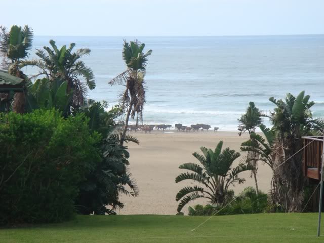
04DSC03658.jpg

The beach is for anyone…. Or anything

04DSC03663.jpg

Life in the slow lane

To be continued ….

 
:thumleft: ... of the areas that I do not  know, but the pics I've seen, looks like awesome riding.

Yours just reinforces this notion...let it rip!

Thanks
 
Day 4 – Waterfall hunt

I wake up my usual early time, but this time accompanied by a John Deer tractor ploughing the fields 6 feet away. WTF! Jono’s behind the tractor. He plugged his ears because of my snoring?!? I smile, he’s a survivor, dishing it out with total immunity.

The weather forecast is mostly good, not that we have any choice, but we’ll take it! I review the route options. I had plotted many options totalling some 360kms. The main goal was to try and get to see as many waterfalls in the area as possible. There were 4, all within about a 12km radius. The roads don’t traverse along the coastline, they mostly go in  - out, so getting around can prove to be a logistical problem; going 5kms up the coast could quickly become a 70km trip. But what the heck, it’s all about the journey, and not the destination, right!

At breakfast we get smacked over the wrist by one of the waitrons for having sat at the wrong table at dinner. Apparently that pissed off some family having to wait. WTF, what did we know? We got ushered to our table. We learn, every table has the guest’s name on it. The boarding school prankster in me stirred. I swop a few names around on tables between two, 4 and 6 seaters. That should confuse things!

The lodge is run in some governed fashion to make things easy to follow routinely. That’s how my favourite lodge, Umgazi River bungalows operate (12kms South of Ports St. Johns), having been there a few times, some years ago. Mboyti Lodge seemed to be run in a similar fashion. Those interested: If you have children and / or like water activities, Umgazi is a perfect spot. It’s situated on edge of, yes you guessed it, the Umgazi River (actually Mngazi River), where it meets the coast. The service, facilities and food is top notch. Children can have their own nannies that keep them entertained and engaged, including singing river cruises. There is a seafood evening with a full spread, crayfish and the like. Plenty of activities - canoeing, wind surfing, paddle skiing, tennis, volley ball, full size snooker table, hiking, fishing and the rest. I recall having crayfish as bar snacks and daily booze cruises with fantastic bird life. A prime family holiday!

We learn that Waterfall Bluff (near the Mlambokulu river), one of our destinations, is a 12km hike from the Lodge. That’s a whole day, there and back. We don’t have the gear or the time, so we decide to follow our nose.

I’m pissed off my camera battery didn’t take charge. The farking two-pin plugs that we have in this country never fit snugly, they always rattle loose in the sockets and never make clean contact. I won’t have action shots today, I have to settle for the digital camera. Mike has his video rolling, so we should get enough footage.

As of writing this, Mike, when he’s not busy building bikes, should be busy editing his videos trying to create a 20min extract of his stuff. I will insert the videos, both of ours when they are ready. Jono’s fancy camera has also been hard at work. I will add his photos to the thread as well, when I finally get them. Hopefully they are worth the wait.

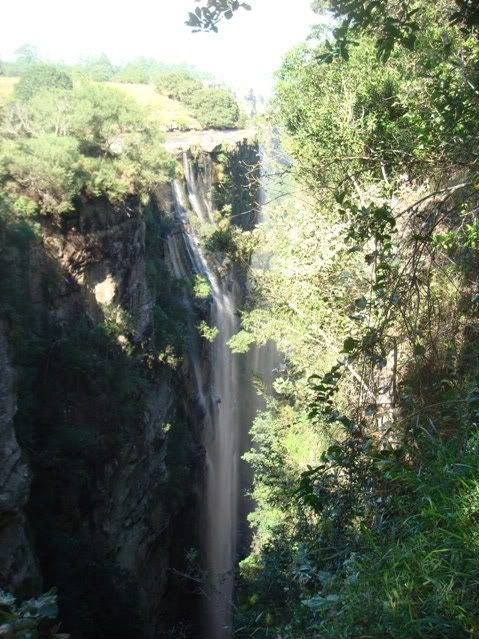
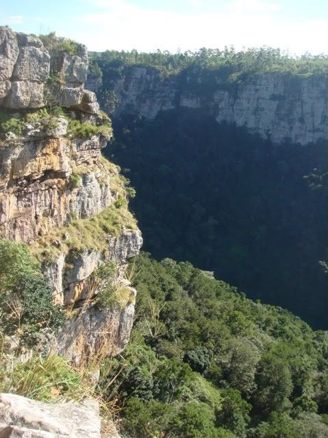
Our first stop - Fraser Falls. This huge amazing gorge looks like the earth was trying to split in two. It’s deep, layered with dense vegetation. I struggle to get myself to the edge, vertigo sufferers will know exactly what I’m talking about. Jono is on a boyhood mission, he’s hunting for a large rock to send into the abyss. Brad helps him, and they send a big one over the edge. We chase it down with our eyes and listen to the impact like little school kids.

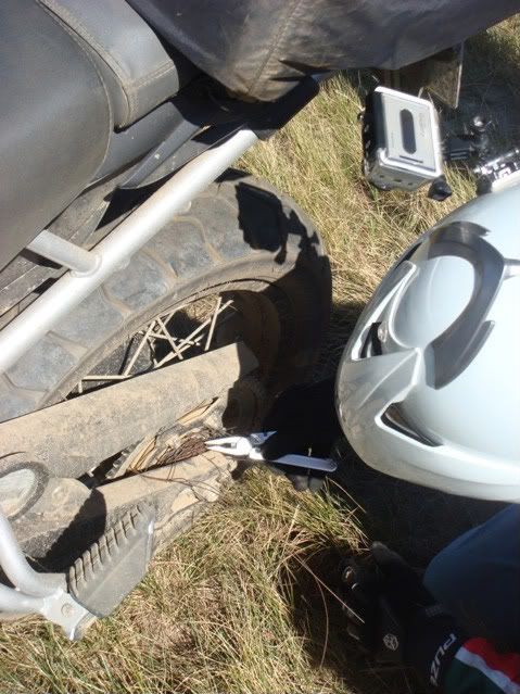
Brad’s rear axel somehow collected a couple of metres of thin rusty wire, wound real tight. My no.24 rear wheel spanner doesn’t fit his Triumph (one size too small, I’m hoping he doesn’t have a rear puncture, he won’t be able to get his wheel off). A Leatherman and some of Mike’s elbow grease untangled it.

We can hear the falls, but we don’t see it. It sounds like it’s behind the dense cover in the gorge. The awe of the gorge was moving enough, so we decide to move on to the next spot.

We head towards Magwa Falls. The road is lined with beautiful tea plantations. The tea bushes are around 4 foot high and full of dark green glossy leaves. It’s the Magwa Tea Estate. There had been some unrest here about a year ago where violence erupted, burning of buildings and vehicles was an outcome. Right now, it was peaceful. We passed through a long corridor of striking trees that had grown into a canopy effect. We exchanged our utter amazement of the contrasts of the raw and natural beauty of the Wild coast to what seemed like an aristocratic estate. Mind blowing!

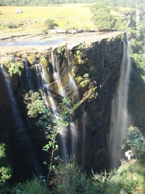
We park near the falls. There are hoards of little onlookers swarming around us. This is obviously a prime tourist spot. They tag along like puppies after milk. Anyway, we are not too fazed by the trail of support, we go about our own business. We head to the falls and look over the egde. It’s another split in the earth, perhaps part of a bigger event on the area. It’s not as wide as Fraser’s but this one exposes a fantastic waterfall. Our fan club see the joy on our faces and usher us to the other side where we can see the falls from a more frontal view. Our jaws hit the floor with amazement. Cameras are clicking away to capture this beauty. We soak up the cool setting for a short while, the sun is beating down around us, but we are in a very special place.

Before departing, I reward my guide for his tour duties. It started a bit of a frenzy. Jono was doing the same but was deciding who and how to dish it out. They went berserk. In his calm manner, he tried to regain some order, they were all over him like fanatical fans at a pop concert. Flashing R50 bucks was like dropping a leg of lamb into a school of piranha. I was expecting to whip out my medical kit and patch what’s left of him. The chaos subsided once the money was gone. With the frenzy behind us, we opted to head out to find Waterfall bluff, we skipped Alice Falls.

The road to the bluff was long and very bumpy. We had to head inland and back out in a more northerly direction. My Garmin didn’t really help at this stage because we had changed the order of things. Once you do that, the darn GPS tries it’s damndest to get you back on to the original route. Note to self: Next time, download the Waypoints, that way you can quickly select a new destination.

We are, at best, guessing where are going at this stage. We end up at Port Grosvenor. A stunning bay lies there. What a beautiful secluded beach that spans several hundreds of metres surrounded by green hills. Brad’s eyes are spinning, he’s scheming about this spot for a future family holiday, he’s sold; hook, line and boots! We take a closer look. It’s one of the largest beaches I’ve ever seen. Perfect for people that worship the sun with their bodies. It turns out we’re a bit over dressed for the occasion.

The chance of a swim goes by as we consult the map and learn that we are 10kms farther north from Waterfall Bluff. We clock in a new route and head out again. This time we find ourselves on an old, less travelled twee spoor dirt track. It’s got all kinds of surprises, rutty, sandy, rocky and grassy. Trying to get through there in a hurry, at some point I find myself out of control. My front wheel gets stuck in one rut and my rear is tracking in another. I accelerate a little hoping to pop out, but end up spinning the rear wheel and going down sideways in a cloud of dust. No injuries. No damage. I remind myself to take it a bit easier, the road conditions keep changing all the time.

Eventually we make our way to the coast edge. This time we’re only 5kms from the Bluff. But it’s a walk from here. With hiking as our only option, we opt for the easy choice – head to Port St. John’s for a beer and a plate of exotic seafood.

Making our way back on what appears to be a never ending rocky gravel road. A wall of mist appears from nowhere. We lose visibility. Rain joins the party and makes riding a lot more difficult. The rain looks pretty dense and looks set. The convex shaped road starts to get soaked. Road tyres add to the problem. We change plans and opted for the lodge. We have no idea of what the local weather conditions are like, as we approach the coast again the weather improves. By now we had covered 145kms of dirt and most of it rugged. Mike squeals “I’m about gravelled out!”.

Jono’s extremely disappointed that we never got to PSJ. He wasn’t letting the seafood dream go.  He tries to negotiate with management to have someone drive us to PSJ and back (about 100kms return) so that we could share in the spoils of the seas. They had a much better offer; they would make us a seafood platter for 4 in the place of the standard dinner. The only condition was that we had to be separated from the rest of the guests, as many of them would expect similar treatment. Bravo Jono!

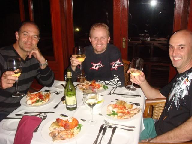
Dinner was just that; exceptional. Two baby crayfish tails, a firm piece of fish, calamari and some very scrumptious prawns, chased down by a few bottles of white wine. We felt like royalty. They added a few ront to our bill and that was that.

Late that evening while doing what Romans do in Rome, we are treated to a spectacular electrical storm over the ocean. I tried to take shots of it but didn’t get it right. Mike captured it on video, so I’ll post that when I get it. We spend the entire evening chatting and drinking, spiritually removed from civilisation.

The second of the big five checked off – a fantastic day’s adventure in the Transkei.


Pictures ….

04DSC03725.jpg

Tanning the beef …

04DSC03668.jpg

Gorgeous …

04DSC03672.jpg

Jono, throw the rock where? …

04DSC03673.jpg

All wired up and nowhere to go!

04DSC03674.jpg

Front cover - For Bike SA

04DSC03676.jpg

Magwa canopied estate – surreal

04DSC03680.jpg

Magwa falls

04DSC03690.jpg

Magwa – side view

04DSC03693.jpg

Magwa – oblique view – Rainbow effect

04DSC03709.jpg

5kms North of the Bluff

04DSC03712.jpg

Royal treatment – Bravo Jono

To be continued ….

 
Day 5 & 6 – Mboyti to PSJ, Hogsback and surrounds

I see Jono wanted an early start to the day, cause he slept with his clothes on. Once the fog cleared in my head, I realised his eagerness was from over indulgence. He reminded again me why snoring isn’t socially accepted. A hangover and snoring is like a jackhammer to your skull!

We pack up, say our good byes to the management that treated us with remarkable kindness. Mike has a few more goodbyes to exchange with people that he once sold bikes to. Puzey bikes has its happy customers, he’s happy to learn. We head out. Mike and Brad are heading back to Jozi via Nottingham Road. Jono and I will continue west.

I noticed that Brad was taking some strain on the Triumph over the really rough gravel roads the previous day, on roads where bits of stone are embedded in the gravel, as well as potted holes that you can’t always avoid. He admits “my fillings nearly fell out”. On our exit, I exchange bikes with him to test my old amalgam fillings. I concur, the Triumph’s suspension was k@k. It was not properly set, or it was not designed and built for those conditions. The F800GS does not have great shocks out the box. Most owners replace them. The Triumph’s standard shocks are considered much better than the standard BM shocks but are not really suited to the rougher stuff. He was going to have to upgrade them if he wanted more comfort and better control.

We part ways at Lusiksi. The next 40 Kms were biking bliss. We averaged 80km/h to Port St. John’s on an amazing twisty windy tar road cutting through the mountains. The road surface was in perfect condition. I’m amazed at the quality of the roads because Posrt St. John turns out to be a shit hole. What ever it was in its day, it’s no longer. We decided to give it a miss and head out to Mthata. The exit road offered us another 30kms of blissful twisties. After sweeping left and right for 70kms the rest of the road to Mthata became quite boring.

The wind picks up in a big way. We get hammered by very strong cross winds. Mthata (Umtata previously), was a hive of activity, more than we were willing to endure. We cut through restless traffic to get out of town. We head on to Engcobo for our next fuel stop. On route we pass an accident scene where a few multi million rand cars are gathering. A Lamborghini is found trying to plough the fields. Only egos and the insurance company were injured.

Engcobo is also packed with Easter travellers. It’s just another rundown dirty town. We are hungry but don’t see anywhere we would feel comfortable and welcome to relax and have a bite. We fill up and head on to Cofimvaba, another shanty town. The KFC has crazy queues. We do the next best thing, fill up, lunch bar, a packet of crisps and move on.

We join the N6 and head South to Cathcart with the wind smacking us all over the place. We pick up a lovely gravel road (R345) and head in the direction of Hogsback. It’s late afternoon, the sun is very weak and the wind still pumping. The temperature plummets. The heated grips help, but a hot shower would be the first thing on my list when we clock in.

We enter the Hogsback nature reserve area and we are transformed from meandering rather sparse countryside to embedded lush forestry. It’s such a quaint little town. Nicely preserved, and by all accounts thriving beautifully on tourism. JRR Tolken is said to have been inspired by Hogsback when he wrote “Lord of the Rings”. Well, we came to find out what all the hype was about.

Having done 441kms in gale force winds were chuffed to be checking into the Hogsback hotel. Our rooms were great, old cottage style accommodation. A hot bath restored my inner core temperature and we settled into the only other worthy place; the local pub. The next day was going to be a climax for me, I had never been to the area. Jono had been there before and he had something install for us.

Like clockwork, I wake up early and browse what’s happening around the globe. I find a downloadable Worldwide Google map for my Pad where you can plot routes in an offline mode. Such a prize find. Many of the detailed maps require you to be online and take forever to refresh and to pan around. The weather forecast is cold, windy but clear. Outside, it starts raining. WTF, off the chart compared to the forecast! I look at other weather sites and get confirmation, clear, cold and windy. It makes me wonder if there isn’t just one single source of data aand everyone’s version of that.

After breakfast there is a fine drizzle. It’s very cold and there is a light breeze. The grey sky sits low. “Any colder and it will snow”, I remark. No sooner were the words out my mouth, it starts snowing! We were in beautiful surrounds that reminded me of Austria, it was spectacular. Within an hour, strong winds cleared the skies and the weatherman got his way. We kit up with some extra padding and head out.

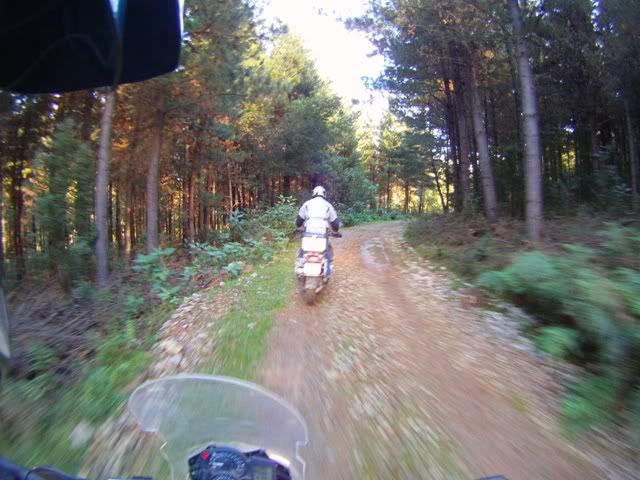
I had plotted a 200km route around Hogsback, Sandile dam, Stutterheim and back, mostly on gravel roads, for the day. Jono had a more adventurous plan install for us. We were going to explore the heart of the forests. The forest roads turn out to be a mixed bag of tricks. Ranging from stony to hard pack to muddy to grassy, changing constantly. Jono’s road tyres were spinning amusingly on the wet slopes. My Heidies were slipping a little but nothing by comparison. There were occasions where he was slipping so much that I anticipated him careering backwards. We rode through some very interesting and colourful sections, especially nearer the peaks. Cultivated forests can get a tad monotonous so we navigate our way out and head back to Hogsback.

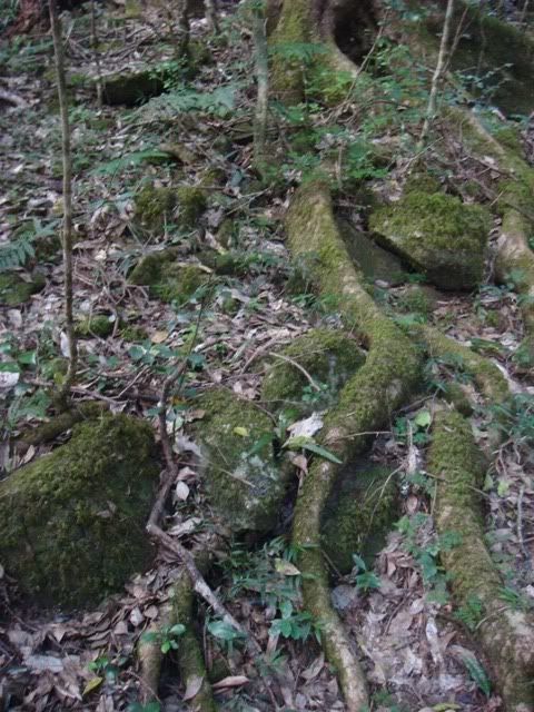
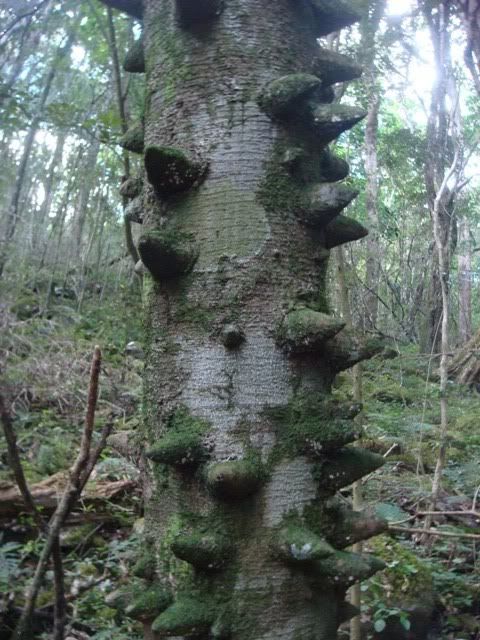
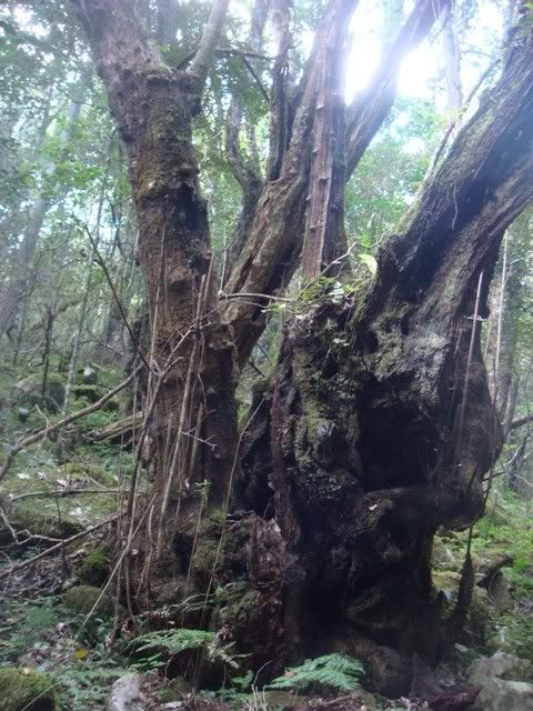
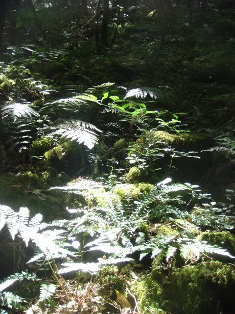
With a large chunk of the day still remaining, we dial in the original route and head out to Sandile Dam. The windy route takes us along roads covered in more natural vegetation where Jono disappears for some time with his camera. I go rescue him, only to learn what caught his attention. I got insight into where Tolken got some of his inspiration from. The trees were primeval in structure. Their roots had stretched across the forest floor covered in a blanket of moss. Some trees had huge spikes on them. Some trees looked they were melting. Delicate streaks of sunshine were prying their way through the foliage into the dense forest creating a subtle light. Ferns were fanning their green foliage over each other feeding off the restricted light. Streams coming from some higher place were constantly supplying these aged life forms with precious water. It was a remarkable sight. Jono was in photography heaven. I can’t wait to see his pictures. I managed to snap a few with my Sony just as a reminder.

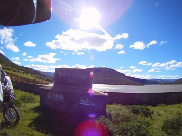
Several kms further, we stopped alongside the Sandile Dam. It’s a young dam (1983) off the Keiskamma river, that supplies nearby farmers. It feels desolate. We move on to Stutterheim travelling on some pretty decent gravel roads. The wind is still thumping away. It’s a pleasant ride with enjoyable surrounds. The town of Stutterheim had very little to offer in the way of convenience eateries. We needed some replenishments. Our breakfast had been consumed fighting off the cold.

After circling the town in vain, we try the many advertised B&B venues. Several windy dirt kilometres later, still no luck. Jono is clearly not giving up, one final desperate suggestion – “the Country club”. My Garmin doesn’t reflect any country club in the area. He played golf there some years back, so there was no doubt that one existed at some point. Thank God his Garmin has it (or perhaps it was just an old map). We find it, and enter the old pub and receive a decent welcome by all 5 of the old locals. Considering how dusty we were, I was pleasantly surprised, maybe they don’t get too many visitors. We make short work of a pepper pie and a pint and head into the sun back to Hogsback, via the N6. We connect with the R345, the same place we entered the previous afternoon, the sun casts long shadows over the hills. We get some good shots of the area.

We make our way to the old pub in the Hogsback Inn, established way back in the 1850s. We deposit ourselves in front of the fireplace and knock back several ales while we thaw out and recount the day’s highlights. We are remarkably thrilled for choosing the route we had. We move our focus to discuss our route options for tomorrow.

By now, Jono has become dubious of my choice of routes. Dirt uber Tar is my mantra, no matter what the condition. At this stage, he’s feeling a bit “all gravelled out”! He chooses the softer option. We will go via Grahamstown, Kenton on Sea (a place I haven’t been to), PE and finally St. Francis, using coastal roads where possible.

We toast to the spectacular outcome of the third destination.

Pictures …

05PSJtoHogsback-1.jpg

The River into Port St. John’s

05PSJtoHogsback-3.jpg

And the road out – not much worthy in between

06DSC03758.jpg

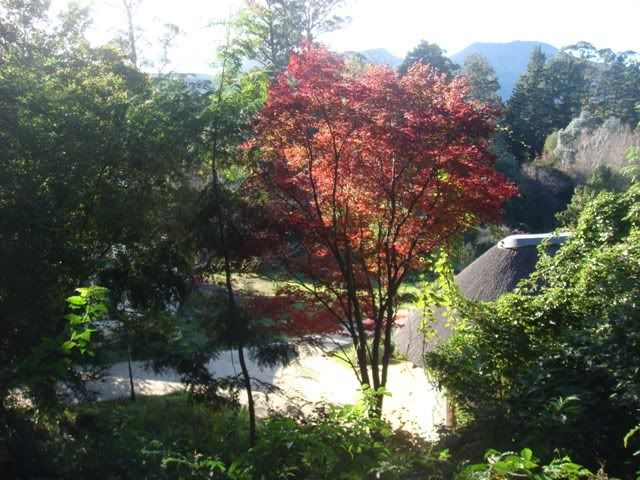
Lovely foliage at the Hotel on the Hog’s back

06DSC03729.jpg

The Jumbo elephant ready to attack the Hog’s back

06Hogsbackandsurrounds-4.jpg

Combing trees on the Hog’s back

06FILE0181.jpg

The natural forests on the Hog’s back

06Hogsbackandsurrounds-10.jpg

Climbing (and sliding) up the Hog’s back

06Hogsbackandsurrounds-16.jpg

Peaceful on top of the world

06Hogsbackandsurrounds-13.jpg

Somewhere on the top of the Hog

06FILE0284.jpg

Sniffing out the enchanted forest

06DSC03732.jpg

Out picking mushrooms

06DSC03738.jpg

Trees sneaking around

06DSC03739.jpg

Inspiration for “Lord of the Rings”?

06DSC03741.jpg

Melting trees

06DSC03742.jpg

Green carpets

06FILE0536.jpg

Approaching Sandile Dam

06FILE0558.jpg

Sandile Dam

06DSC03747.jpg

On route to Stutterheim


06FILE0002.jpg

Wouldn’t like to be doing this in the wet

06FILE0298.jpg

How far would you go for a square meal?

06FILE0795.jpg

Late afternoon tar (R61) from Stutterheim to Hogs

06FILE0799.jpg

Easy ride in the late afternoon

06DSC03748.jpg

Countryside living

06FILE0355.jpg

The late afternoon west of the Hog

06FILE0367.jpg

Stunning Autumn setting

06FILE0269.jpg

The elephant is happy

06FILE0571.jpg

Transforming experience

06FILE0564.jpg

Entering the Hog

06FILE0584.jpg

The Green-backed Hog


To be continued ….

 
Day 7 & 8  - On route for an oil change


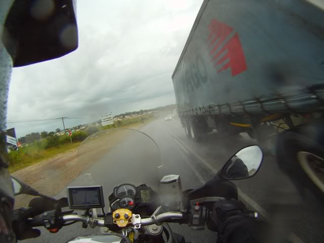
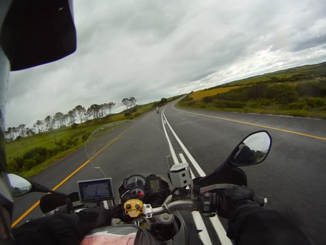
Next morning the sky is overcast and the wind still blasting. We take on a bit of rain but mostly it’s just the wind and it’s really irritating. We enjoy the twisties on route. I scrape my right foot peg a couple of times. Thank God my tyres are gripping well, otherwise I would find out how good my BMW safety gear is.

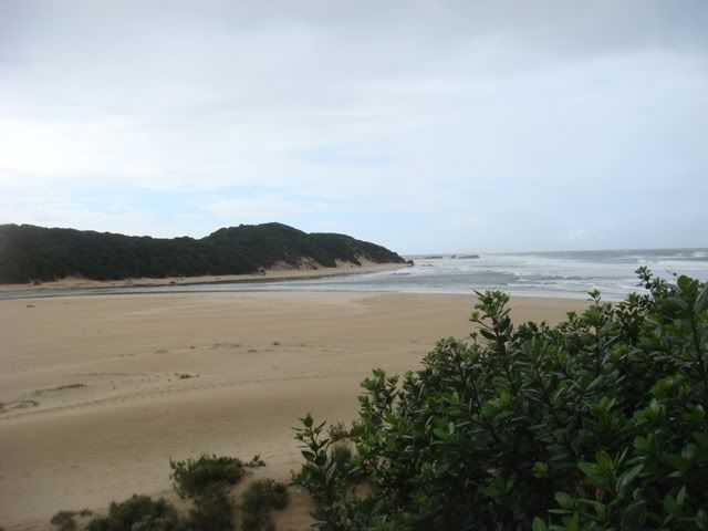
We arrive in drizzly Kenton, at a quaint restaurant on the water’s edge. A lovely destination for holiday makers, by all account. I get a glimpse of what all the hype around Kenton is about. There is a fantastic beach where the river meets the ocean. It’s time for some junk food, I attack a juicy Pizza laced with garlic and chilly while health-boy Jono picks at a fish garnished with rabbit food.

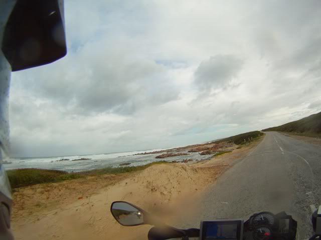
We head westerly towards PE where we opt for the southern road that hugs the ocean. The weather has also cleared up nicely with the sun reaching into our souls, the wind however presses us. PE for me has always been a windy place.  It blasts so fiercely, that you can take a full 6 Iron in hope of reaching 100m, ordinarily 160m.

We meander through the beautiful lush small holdings west of the town, heading towards the outlying suburbs of Seaview and Beachview. Many of the plots have horses roaming freely. It reminds me of some of the beautiful countryside in the UK. We had no plans to stop but the head winds cut our consumption right down leaving us short on fuel.

We make short work of the remaining miles and arrive in St. Francis in the mid afternoon. As it turned out, we did 470 kms. We went the long way around but besides the wind, it was pretty easy going.

My wife and youngest daughter are happy to see us arrive in one piece. Jono’s father in law was having a birthday bash in the next day or so, otherwise his wife Heather, could have been there too throw her arms around him. Tonight I would put in for an oil change, Jono would have to wait a few more days for his turn.

That evening we celebrate our arrival with a whole clump of friends who also enjoy the area. We devour the largest home made Paella you’ve seen stuffed with calamari, fish, chicken, prawns, shrimps, smoked mussels, large green NZ mussels, peppers and the like. We finish off with a chocolate cheese cake and a Linzer Torte (a fantastic Austrian tart). My youngest daughter has been struck with some sudden condition that got her baking mad. I sincerely hope it’s irreversible and she doesn’t find a cure.

I wake up the next morning after a successful oil change and a good night’s rest with a smile stretching from ear to ear. Today we are just going to relax and do whatever the locals do. The wind was still too strong to take on the sea with the Jetski. So we opted to cruise around the canals chasing down beers. We also catch snippets of the Royal wedding and share in some of the fuss in the UK.

Our bikes have tons of houding at this stage, they are properly filthy. Jono doesn’t want to clean his. Nor has he shaved. He intends to end the tour without the need of soap or a razor. To Jono’s disgust, I elect to clean my bike to see if anything has broken or dropped off. As Murphy would have it, I had gained a new orifice on the underside of my rear fender. A stone must have shot up and punched a hole through the plastic housing. Some of my tools are there and could easily fall out. With a bit of duck tape, some of Jono’s handy work, a temporary fix was in place.

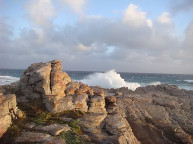
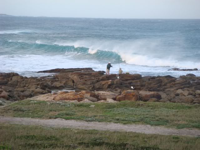
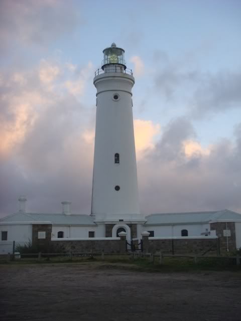
Later that eveing, we head to Cape St. Francis to catch the sunset over the rocks down at the Lighthouse. The wind was still (dis)gusting. The waves were being folder back by the winds. Normally you can experience spectacular sunsets, but the weather wasn’t playing along. Jono took a few pics of the area, but I’m not sure if the pictures would work out. We will find out later.

There were a few die hard fishermen challenging the elements. They must either be very hungry or very committed, cause it wasn’t pretty. The only people enjoying the conditions were the surfers. They were embracing the huge curly waves, carving their way enigmatically through them.

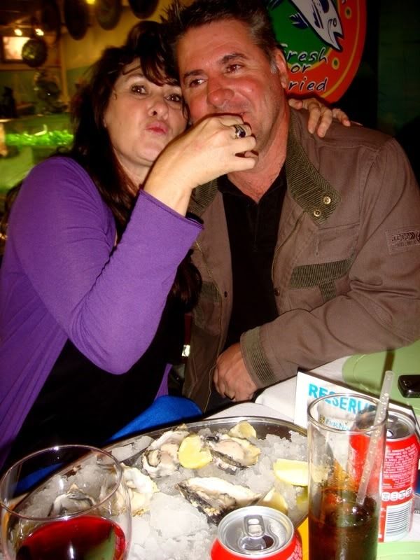
That evening Jono treats us to dinner at Christie’s catch, a festive seafood joint serving excellent fresh fish and sushi. We indulge in what has to be some of the finest oysters. They were perfect; the temperature was such that they were beautifully firm, they were nicely cleaned so no loose or crunchy bits, they were fresh and not fatty. The best we’ve had in years.

Back at home, another late night filled with drinking and Roman festivities, resulting in Jono suffering form a very familiar hangover. He must have slept with his clothes on again.

Pictures…

07FILE0665.jpg

Grahamstown

07FILE0651.jpg

Fresh cuttings

07FILE0664.jpg

Less enjoyable moments …. Wind and rain ….
07DSC03760.jpg

Kenton on Sea – Beach frontage

07FILE0667.jpg

On route to PE from Kenton

07FILE0690.jpg

PE Coastline

07FILE0693.jpg

PE – Heading towards Seaview

07FILE0700.jpg

The lovely vegetation on route to Jeffery’s bay

08DSC03768.jpg

Cape St. Francis
08DSC03773.jpg

Slightly committed fishermen …

08DSC03784.jpg

Early warning for the seamen …

DSC03096.jpg

Christy’s Oysters at their best …

To be continued …

 
Day 9 – The Baviaanskloof

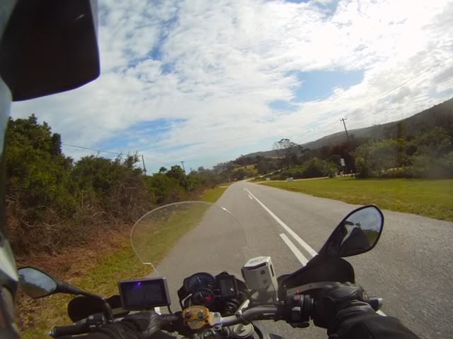
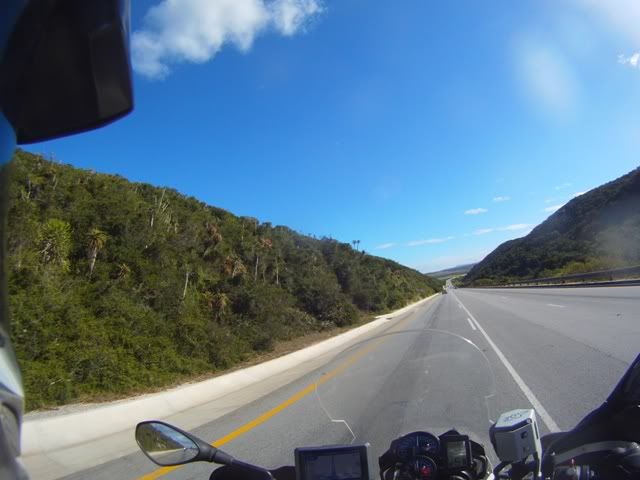
After a lazy start, we bid farewell to our entertaining and loving hosts and head out to Humansdorp in search of some dirt. We breakfast at one of those outlandish retro spots where women get lost in the mysterious antiques and artifacts, Le Chamelon – we are teleported into unfamiliar world. I could try to describe it, but I don’t believe I would do it justice. You have to go there to experience it. It would be fitting in Oxford, London.

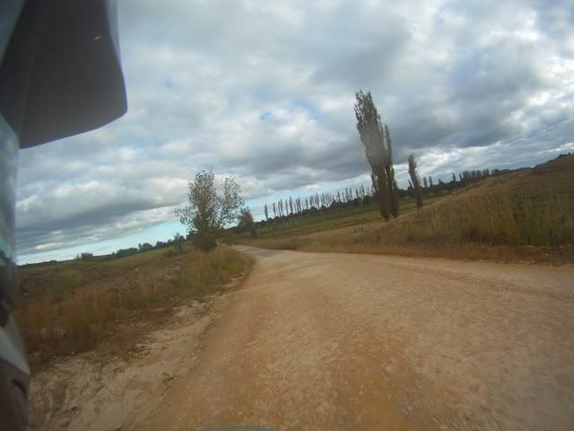
Our next destination Patensie, via the first available dirt road merely to get back in touch with the spirits of the sand, today is going to be a lot of dirt and a lot of mountainous riding.

Some friends and I had done the Baviaan’s last year in the Easterly direction, starting from Willowmore, we cruised through it with ease. I had also once done a section of the Staytlerville Road from Patensie, but on an off-road bike. It’s a section that’s more technical and more challenging for a DS bike, something that Jono and I would be up for. With limited information, I plotted a route from Patensie going towards Steytlerville and then cutting back towards the Baviaanskloof road (R332) via the Osseberg on a 4X4 trail. It was shown in yellow on the Slingsby map, as well as MapSource.

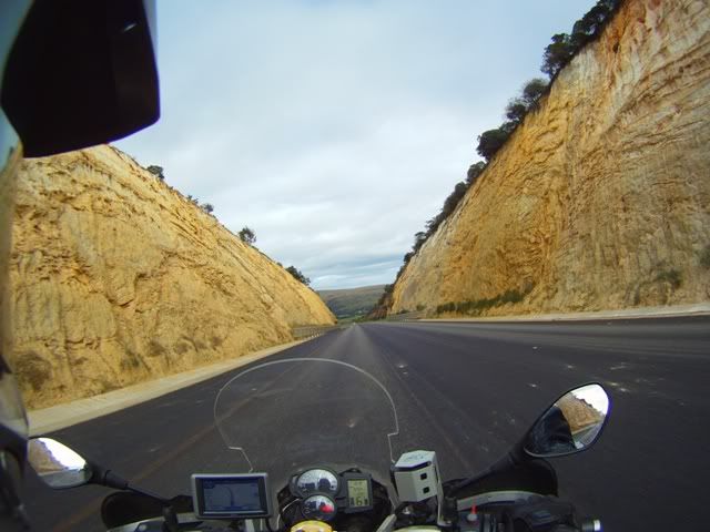
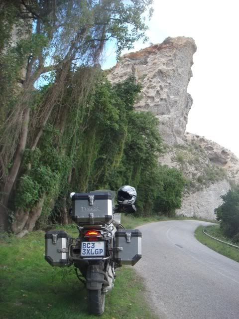
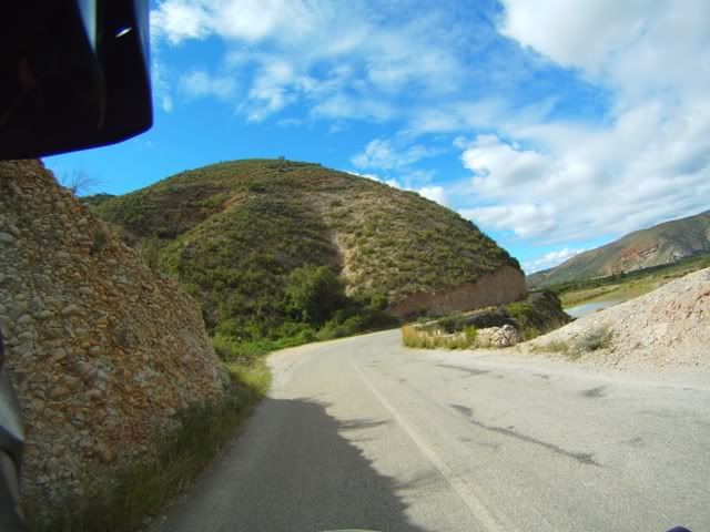
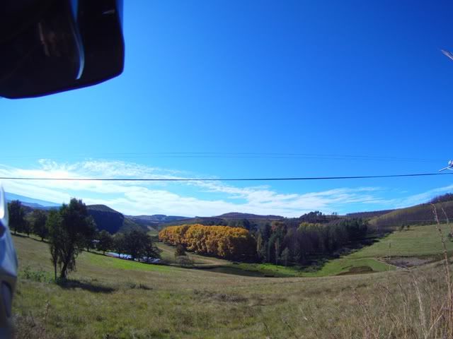
We travel towards Patensie winding through some hilly countryside for about 26kms on the R332, a suitable gravel road with early sign of very unusual geology. We head through some extraordinary cuttings on the tar roads towards Patensie. They comprise of millions of perfectly rounded rocks, tightly compressed together. They erode very quickly and leave interesting caves and pock marks in the cliff face. It looks like a mix of shale and small-pebbles. The entire Baviaans Reserve area is a geological and historical marvel. I have taken the liberty of including some reference material on the Baviaans for anyone who may be interested:

Extract from the Gamtoos Tourism
Topography, Geology and Geomorphology


The landscape of the area is dominated by the Kouga- and Baviaanskloof Mountains, which run parallel to each other in an east  west orientation. These are part of the Cape Folded Mountains The Kouga range is the larger of the two. Many high peaks occur in the western and central parts of this range while the eastern end is less rugged with plateau's and hills generally less than 900m in altitude. Smutsberg is the highest peak at 1757m above sea level. The Baviaanskloof Mountains form a long narrow range with Scholtzberg at 1625m being the highest peak. In the east the Baviaanskloof Mountains join the Groot Winterhoek range with Cockscomb being the highest peak, and at I 768m above sea level, the highest peak in the wilderness area.

Two main rivers drain the area, namely the Baviaanskloof- and Kouga River. They converge at Smitskraal from where they flow in an easterly direction to the Kouga dam. The Grootrivier drain the Karoo and flows through the reserve near Komdomo. The Witrivier which has its origins within the reserve joins this.

Although the "modern" Baviaanskloof is about 20 million years old, its precursor dates back 140 million years ago to the break-up of the continents when a major tensional fault formed along what later became known as the Baviaanskloof. Erosion, together with repeated subsidence and upliftment events have over the course of millions of years created the landscape one views today. Contrasting with the steep rugged gorges and mountain slopes are some remarkably flat plateau's at an altitude of 650-900m. These are part of what is known as the African Land Surface, an old "mature" land surface which can be found over large parts of sub-Saharan Africa. The Table Mountain formations upon which this surface lies are hard and resistant to erosion with the result that the African Land Surface is well preserved within the BWA.

Quartzitic sandstones of the Table Mountain Group dominate the landscape as a whole. All formations belonging to this group can be found in the area, and of these, the Peninsula Sandstone Goudini Sandstones and Cedarberg shales are predominant.

Formations:

Peninsula Sandstone - the oldest formation which usually dominates at higher altitudes and the peaks.

Cedarberg Shale - it separates the Peninsula from the Goudini formation with a 10-40m wide bar and is usually associated with lower lying necks and saddles.

Goudini Sandstone - is generally brown in colour and can often be recognised by the numerous shallow caves in the cliffs.

Skurweberg Sandstone - is associated with the Cockscomb and most of the higher peaks of the Baviaanskloof range.

Sardinia Bay - is mixed with phyllitic shales and small-pebble conglomerate. It can be seen at low altitudes at the eastern end of the Baviaanskloof range.

Baviaanskloof - is dark in colour and, along with the Sardinia Bay formation, is relatively uncommon.

A number of other formations are present but are insubordinate in the landscape. Noteworthy one~ include the Grahamstown Formation which can be found on the flat plateau surfaces and has been termed the African Land surface, and the Enon Conglomerate Formation, a red formation which erodes into dramatic shapes. The only exposed granite formation in the Eastern Cape (as depicted on geological survey maps) occurs within the BWA.

HISTORY

The Baviaanskloof (Valley of Baboons) was once home to San hunter-gatherers and early 18th century settlers, who progressed from hunter to nomadic pasturalist, to a more permanent lifestyle based on agriculture.

The area was once important for the cultivation of pure vegetable seed (onion, carrot, beet root and pumpkin), the mountainous isolation preventing contamination of seed stock. Goats were farmed for the angora goat industry and together with seed production, represented a viable industry.

From the 1920's it has been managed by The Department of Nature Conservation. Large parts have always been State or "Crown" lands. The construction of the Kouga Dam (or Paul Sauer Dam as it was then known) in the 1960's and early 1970's led to much land being bought out and transferred to the Department of Forestry. in 1987 the management of the area was transferred to Cape Nature Conservation and more land was bought out with private funds for the consolidation of the area. Since 1994 it has been managed by Eastern Cape Nature Conservation.

Ref {https://www.baviaans.net/index.php?page=page&menu_id=2&submenu_id=2}

We top up in Patensie, as the last known fuel stop until Willowmore (officially about 195kms direct). I want to capture as much as possible of the Baviaans, so I switch the camera over to video mode.

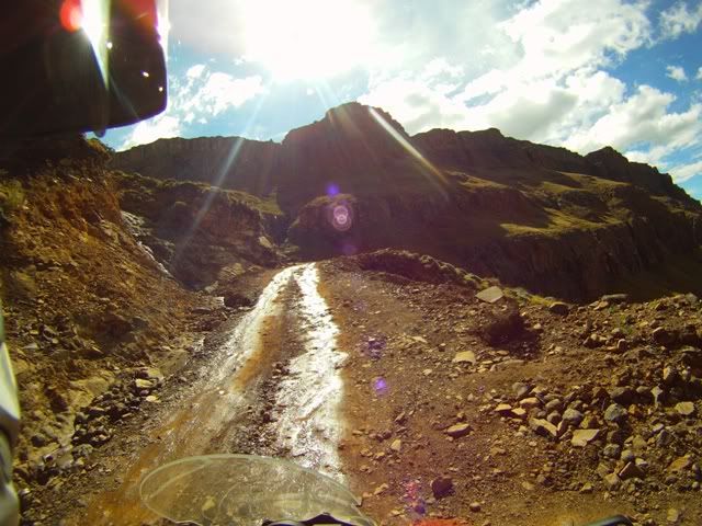
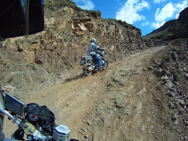
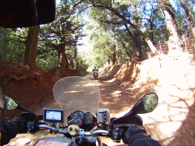
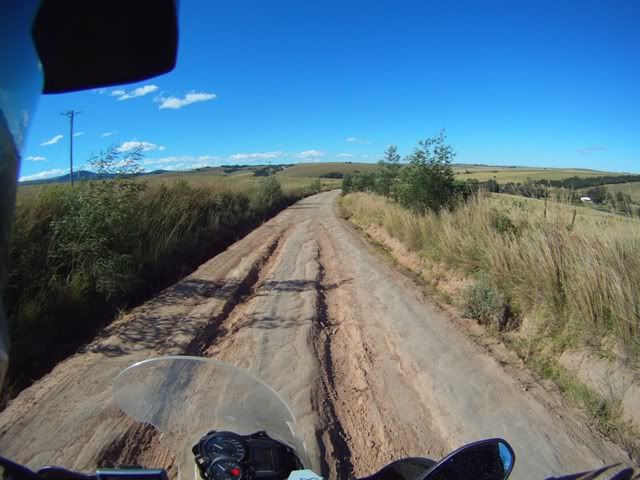
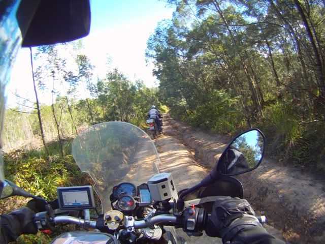
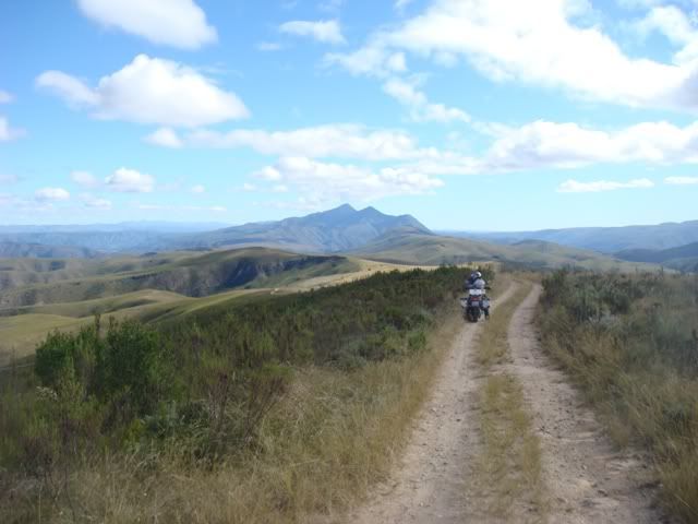
We head towards Steytlerville (turn at the ElandsRivier sign). 15kms up into the mountain you swing left onto a narrow twee spoor road. This is where our adventure steps up a notch.  I disengage ABS, it’s going to get rough.

We reached what looked like the highest peak and take in the stunning vistas. At this point you can see the undulating green folds in mother earth in every direction. You behold the eye of the creator. It’s a 360 view of our planet and it’s magnificent. A perfect panoramic opportunity, I hope Jono’s million dollar camera does it justice.

We pass a group of riders coming in the opposite direction. It’s Adventurer and his group. They’ve just come from Steytlerville. Eyes widened they ask “have we done this road before”. I nod, “some time ago”, “Cause there are some tricky sections back there where some guys struggled over the loose rocks” he adds.

They were heading to the main Baviaans pass to camp over, but at a different spot to us. We thank him for his advice and we head on past some rather exhausted looking riders. No sooner had we passed them, we encounter the section he was referring to. It was fairly steep, very rocky with loose rocks. In my haste I smack my sump guard on a rock, damn. I slow right down to avoid any further damage. I fear I may have just done some damage. Thank goodness it’s still attached, so I leave it for that for now.

We arrive at the junction where we needed to turn to onto the 4X4 Track towards the main road. The road immediately descends to the bottom of the hill at quite an angle. The gate is however locked, damn. I chase the road with my eyes as far as I can see. It’s overgrown and looks suspiciously like a very rocky twee spoor road. I suppose there’s a good reason that the road is closed, it looks hectic. It’s 13:40 in the afternoon. The only option was to double back and take the R332. It would take us an hour just to get to the start of the gravel section of the Baviaans. Time is now against us. We regret having taken it so easy this morning.

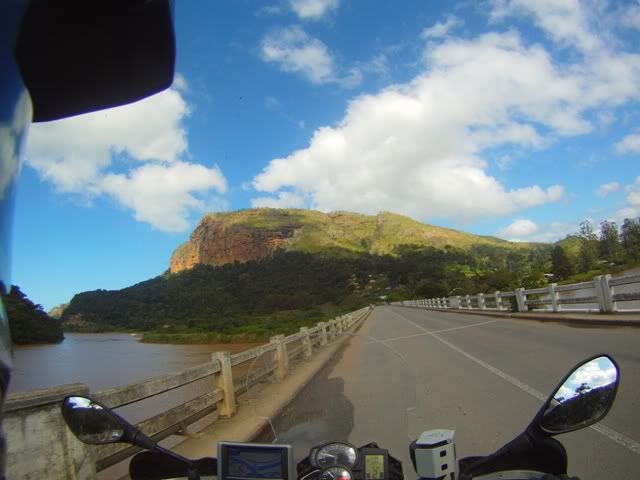
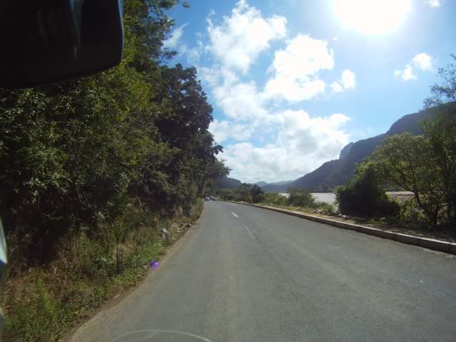
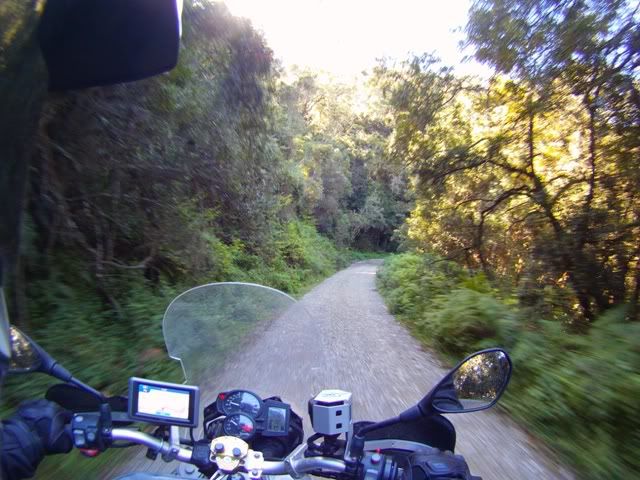
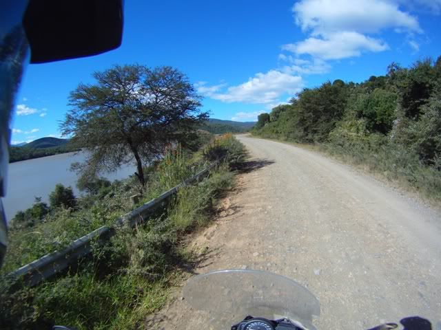
We waste no time getting back. The R332 is absolutely spectacular up to the control point of the reserve. I’m not disappointed that we had to come this way because the scenery is exquisite with the river on the left and the green shrubbed cliffs on both sides. You are dwarfed in this amazing lush valley. You get the feeling that you are somewhere special, and it’s best to witness this personally. It’s beyond the ability of some digital device to capture the complete effect.

We arrive at the entry control point of the reserve shortly after 4pm. We establish that it’s another 80kms to our overnight spot (Duiweskloof). The sun is fading fast and we have the heart of Baviaans still to do. We don’t want to rush it, but on the other hand we also don’t want to be doing it at night.

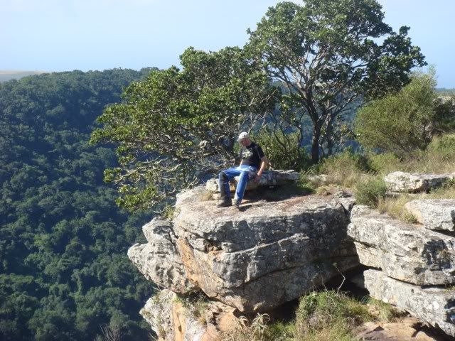
We reach this impressive lookout point and stop. Jono sees the drop below and immediately dials in his childhood fetish of rock launching. He eventually finds this mother of a rock. I’m enrolled as an accomplice. We launch this beast and it rolls down and bursts into thousands of smaller pieces on its way down. I’m not sure of the motivation for this behaviour but I suppose there is a certain Neanderthal joy one can get from this. No sooner had the rock launched and a car passes by. Off to the headmaster office? Luckily we go unnoticed. Jono needs counselling.

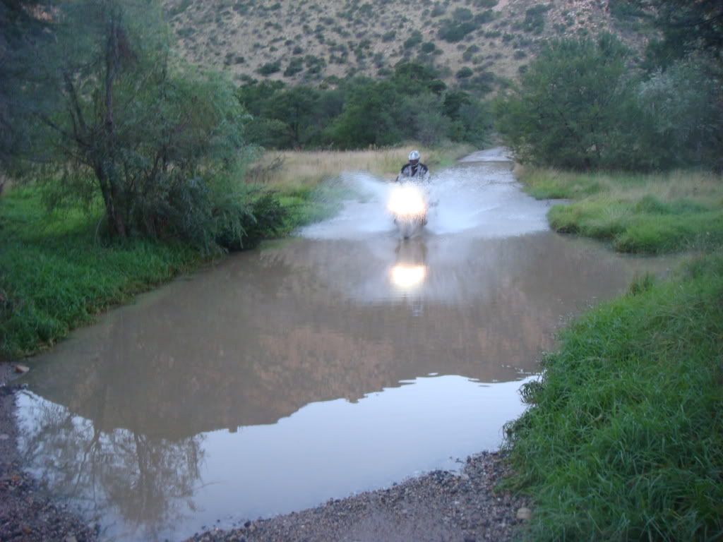
At the bottom of the valleys there are lots of drifts. Today, most of them are dry. I cross one of the long drifts, with about a foot of clear water. It’s marvellous letting the front wheel cut through the water with the spray peeling away from the front wheel like a slalom water skier. I stop on the other side and turn my head back to get a picture of Jono going through, I lose my balance and the bike goes down. The panniers catch the fall. Shit, I’m cursing, what I wouldn’t give for a few more inches in the right place.

We pass through another long drift, this time it’s twice the depth. This time I hop off and have the video and camera ready, I’m expecting this to be a goodie. Jono comes through spectacularly. He points at his camera, he wants a classy picture of the action, so we repeat the run. This time Jono puts his back into it and launches a 10 foot bow wave! There is nothing but water in the picture and Jono is drenched from head to toe. I’m pissing in my pants with laughter.

The terrain through the Baviaans varies all the time. The colour, texture and condition differ from section to section. The most dangerous areas are around the bends on the cliffs, where you risk hitting another vehicle head on. I look for clues of any other vehicles by the dust trails they leave. I’m very conscious of the risks as we were covering good ground, trying to make it in before sunset.

It’s a spectacular ride through this reserve, a huge kudu bull crosses right in front of me, which gives me a sudden skrik, but it makes my day. They are one of my favourite, they are gracious, with their bold curled horns and big ears. They are often sited under the shade of trees looking straight at you with such majesty.

We arrive at the exit control point at five pm. It’s still another 48kms to our spot. It’s taken us an hour to do 32kms. I do the math - at the same pace I figure we would be in around 6:30, way after dark!  Shit, hopefully the road is good so that we can pick up the pace.

Jono rides with music. He hands the gent the permit. Plugs in his iPod, sun glasses, helmet, gloves. The fellow asks Jono a question. Jono can’t hear him. So he takes off his gloves, helmet, glasses, ear plugs to catch the question …. “do you want to keep your permit?”. He reloads cursing. I chuckle at his expense and blast off in to the sunset.
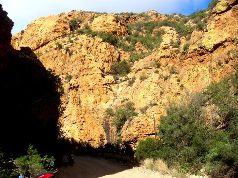
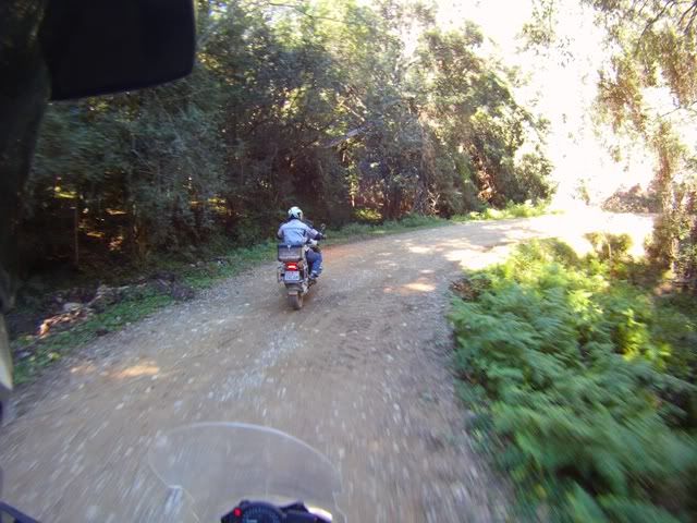
This stretch of road is stony two lane gravel. Rough, but we can make up good time here. We twist the throttle and cruise at anything between 80 and 100kph on the straights. The vegetation has thinned out as the red and orange rock face gets more exposed. It’s severe staring directly into the sun. The sun’s so low you can’t shield it with the peak. It was tough going especially when oncoming cars leave you in a cloud of dust. You can’t see shit. Faced with the choice of riding painfully slowly and finishing in the dark, or riding with pace and arriving before dark, we opted for the latter. Once the sun had peeled behind the hills, we could see where we were going again. We cover that stretch in an hour. As to be expected, the temperature plummets once the sun disappears. On with the heated grips. I’m feeling for Jono with his wet kit, he must be freezing his nuts off.

There is very little sunlight left. It’s pretty cold now. We finally arrive at our lodge shortly after 6pm. We feel relieved that we don’t have to travel in the dark. Jono has only one thought on his mind and that’s a hot shower and dry clothes. I did the bookings online some time ago and can’t recall the finer detail of all the facilities, but I know that we have a bed and hot water. It’s a 2km ride to the campsite.

The place is deserted. There isn’t a single sole around. The chalets are all locked. There is a cooler box with food in it in the dining area, so there must be life somewhere. We hoot and call out, fark all. We even ride to the opposite end of the camping section. We see two tents, also empty. And no cell phone signal. WTF, we had booked, and paid in full. We felt like the Omega man where the planet has been wiped out of civilisation and you’re the only ones left.

Jono is wet and cold I’m just a little cold and pissed off a lot. I made the arrangements so I’m feeling bad about our situation. We consider our options.

We head out looking for alternate accommodation in the area. Thank God for GPS info. We scanned the lodges and camp sites in the area. We find another spot some 5kms further. We ride around the site and see some lights on in a multi-roomed cabin with a car with a trailer close by. No one home, fuck what’s going on.

2kms further we find a place called Outspan. We head in and work our way towards the reception. It’s pitch black, no light of any sort, only our bikes. We headed to what looked like a house. There’s something that resembles a human silhouette in the distance, yeeha, we head that way. We greet some smokers outside and enter this communal hive of activity where the rest of the world had relocated. They were pissing it up, watching the Stormers play the Sharks on a huge flat screen TV, WTF!!!!

We appealed to anyone listening close by for a room for the night briefly describing our dilemma. One fellow pipes up, “I’m from Diuweskloof”. Well we weren’t sure if we should deck him or kiss him. He claims that his “ladies should be there”. Well they fucking weren’t and we are cold, hungry and wet. He meekly apologises and offers to feed us and take us back. We opt to share in the festivities. He offers to cook us T-Bones, thumbs up. Life had suddenly become rosier.

There’s a fire going and a braai crackling in the distance. We knock back a few ales. We get into the game, but as Gautengers, we are outsiders. There are mostly happy Stormers supporters there, for a change they have there way with the Sharks. The food arrives, its chops for us, he’s eating the fucking T-Bone. Hmmmm, we’re not amused but it’s better that some of the other options of what could have happened. What if we had gone in the other direction or missed this place. God knows where we could have ended up for the night. We even considered riding to Willowmore, at night that could have taken us two long hours and Jono would have ended up with double pneumonia. We wolf the food down, pat our stomaches and opt to head back to our camp.

We return but still no mystical ladies. We wait some more. Our humour is failing us. They finally arrive bleating some lame story “Oom, ons het net cigaretta gaan koop”. Well Jono unleashed. He let them have it in his best Afrikaans, an upper cut, a left hook followed by a full-on knock-out punch straight to the schnoz. Well and truly kakked on and a bloody nose, they slinkered off to ready the place. They didn’t walk very straight, there must have been some strong stuff in those cigarettes.

As a peace offering the ladies lit a huge fire in the gazebo-styled dining area. Jono leaps into a hot shower in an attempt to get his core temperature up. Around the fireplace we climb into a bottle of red wine. We feed the fire with all the wood lying around. We chat about the tribulations of the day with steam rising off his wet pants toasting in front of the fireplace. Our sense of humour has been fully restored. We cherish the moment. It’s these experiences are the most memorable.

We acknowledge the fourth destination as a very special place.

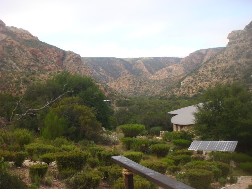
The accommodation was pretty good as a self catering chalet.  Unfortunately you can’t power any devices without the correct adapters. The place is solar powered running on DC. Damn, no camera tomorrow. Never mind, I will charge it on route.

Jono rams his earplugs in and we fade into the another world.

Pictures …

09FILE0146.jpg

The back roads are always better

09DSC03799.jpg

Creative formation – compact pebbles

09FILE0182.jpg

So unusual it looks man made

09FILE0218.jpg

Some things are still in bloom

09FILE0154.jpg

Beauty, man made

09DSC03803.jpg

Sharing the view with the creator

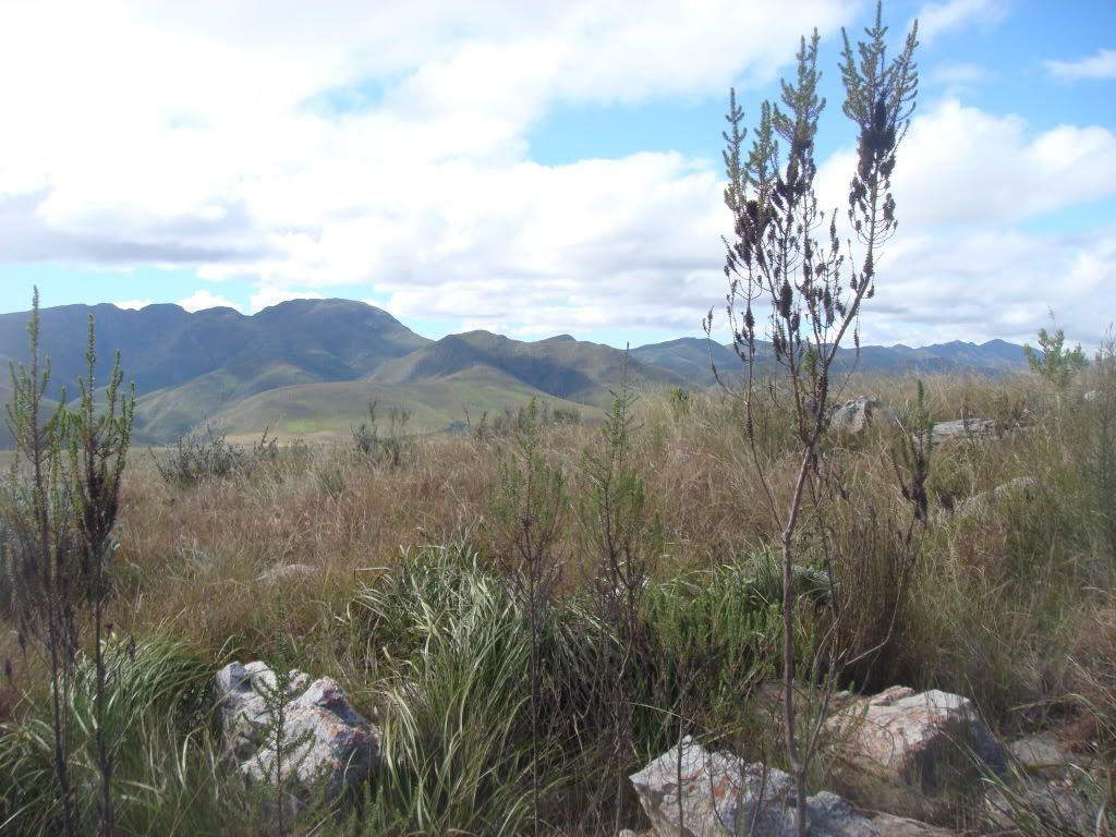
Baviaanslandscape.jpg

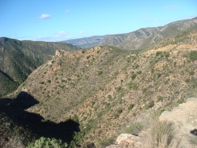
This is what you see when you look around

10DSC03810.jpg

Deep in the baviaans

DSC03808.jpg

These rocks have a strange effect on Jono

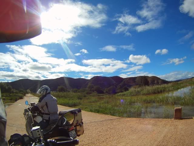
DSC03812.jpg

Gentle water crossing

DSC03039.jpg

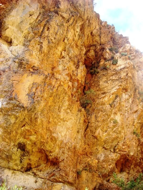
The lovely rock formation

DSC03040.jpg

A little before my time


DSC03820.jpg

Our overnight spot – nicely secluded

Videos

Code:
I will slot the video here once I have figured out how to format and edit it.


To be continued …

 
hi This route that you guys did look awesome. Is it possible to sent me or help me with the waypoints and routes on mapsourse.
Regards

Frans1
 

Latest posts

Top