Christmas Safari

This site may earn a commission from merchant affiliate links, including eBay, Amazon, and others.
Day 6: Part 1

It was still dark when I woke up. The clouds in the east were beginning to light up and I was up for one of those trademark african sunrises. Like so: 
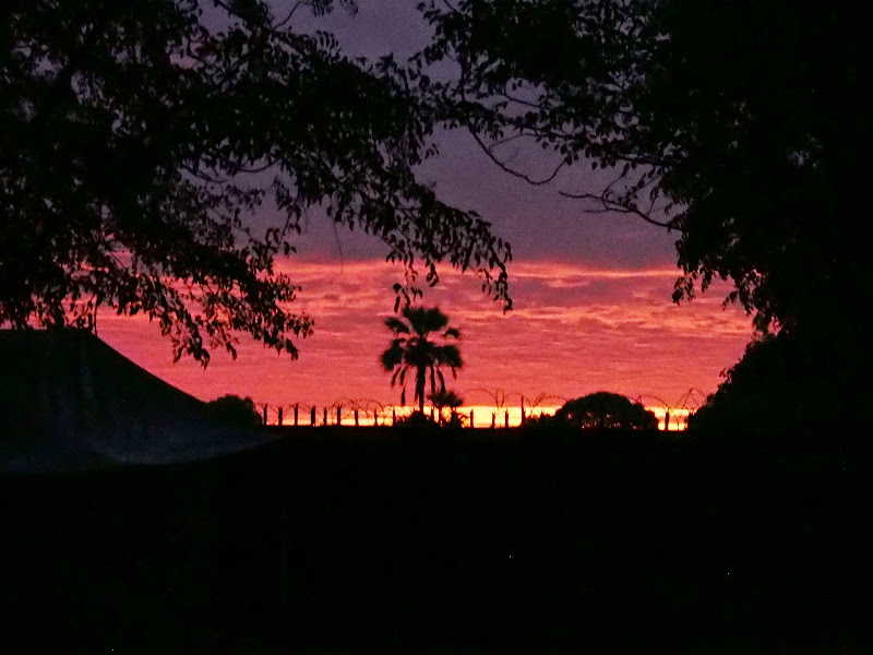
P1010216.jpg


For some reason this reminded me of the line from Lord of the Rings ‘Red dawn, blood has been spilled’ (I have to go see some new movies). Weirdly, this cheered me up in the lowly ‘better them than me’ way, like the lions were fed and asleep - I needed any encouragement I could get.

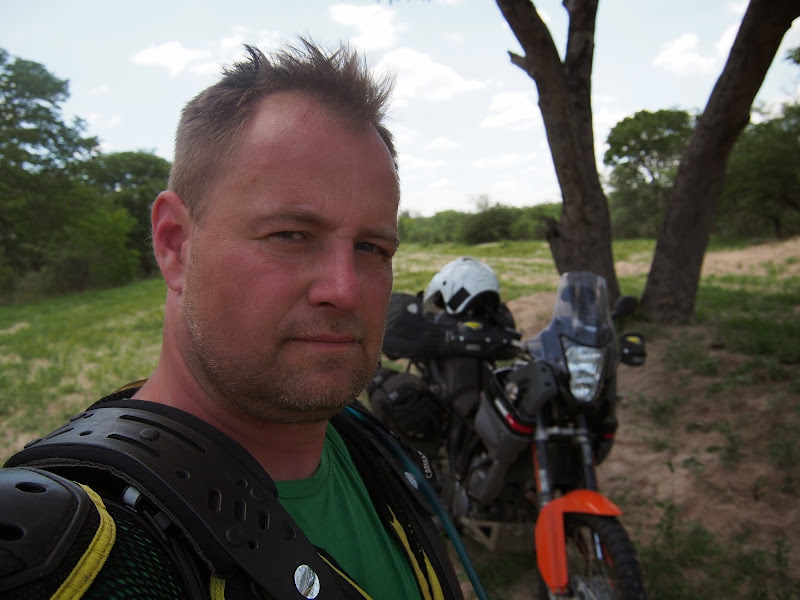
I packed up and set-off. Some of the Durban gang were already up and about, so passing by the little boy in me could not resist temptation to slide the rear wheel around the deep sand corner. My wheel got hooked up in the heavy moist sand (morning dew, idiot) and I got thrown off the line and almost high-sided. Then the sand gave way and the lost traction almost seen me on my ass lowsiding. I’ve managed to tame the pissed off bronco, but rather did not look back to see the reaction of the audience and exited the campsite in a hurry. Fitting departure for someone who over the past two days tried to impress anybody in the sight as a cool seasoned biking adventurist. This is good example why solo adventuring in remote places may be safer and enjoyable than most think - at least for me, I don’t do this shit when there is no one to impress.

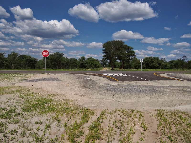
Once I made it out of Audi driveway to the tar I took the left turn north-east. This is the road going from Maun to Moremi South Gate, as well as Chobe Mababe Gate so it’s frequented by the cars going for safari. The sun just made it over the eastern horizon and the villagers and stock were already out going about their life. In tune with the morning I took it easy at about 60-70 kmh, to not disturb the easygoing morning vibe and to stay warm - early morning was still quite chilly on the bike .

After about 20 km I crossed the veterinary fence and was now officially in the big 5 territory - the gatekeeping lady did not seemed surprise seeing the bike, which I took as another confirmation that I’m not trespassing. The road turned into hard corrugated dirt with cm or two of sand of top. After another few dozen kms I have arrived at the fork in the road - the left turn north to the Moremi South Gate, and seemingly less frequented straight road to Mababe village and Chobe.

Going straight, I immediately felt like I’m in Moremi - with the alternating forest and bush flanking both sides of the road and high possibility of animal encounter. The thing is - I’m scared of animals. I grew up as a boy in small town in Slovakia, where people and animals had what I consider normal hierarchy - people on top, animals follow. As a boy I was not scared to chase away german shepherd if it threatened me - the animals were conditioned to understand their proper place and people were fully entitled to enforce it. Since, I have lived for a long time in big cities, where the hierarchy is completely messed up - many people cannot control their dogs considering them part of the family way above other people. So you end up in this schizophrenic situations when a neurotic chiwawa tries to tear your jeans-pants apart, while the blase owner says things like ‘she never hurt anybody’. In the good old world I would just kick the bastard 5 meters away  - unless the owner would get there first and kick it away him/herself. Try it today and you have fight on your hands (which may be fine if its a man, with woman that is not an option), or worse - lawsuit. 

I think ability to discern and trust the natural hierarchy is key in the self-assuredness of the experienced bushman during their animal encounters, them being Masai or trained safari guides. My cushy city life eroded this ability and left me clueless when encountering animals - especially the african ones. Yes, I have seen many videos, including the one of drunk idiot chasing elephant bull by just running at it and heard/read princely advices like ‘whatever you do don’t run’, but good fucking luck trying any of that. Once in Ruwenzori I was squatting in the forest with my eye firmly pressed to the viewfinder taking picture of young gorilla male showing off about 5 meters away. Unbeknownst to me a dominant silverback creeped to about 1,5 meters to my right, and out of a blue let out pissed-off growl. If it wouldn’t be for the guide who has seen it coming and literally pinned me to the ground from above with his weight, I would be off like a bullet. And the daddy wasn’t even threatening me, he was just keeping the youngster in place. He clearly knew his hierarchy and did not consider me male enough to be any threat whatsoever.

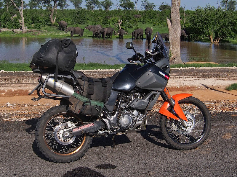
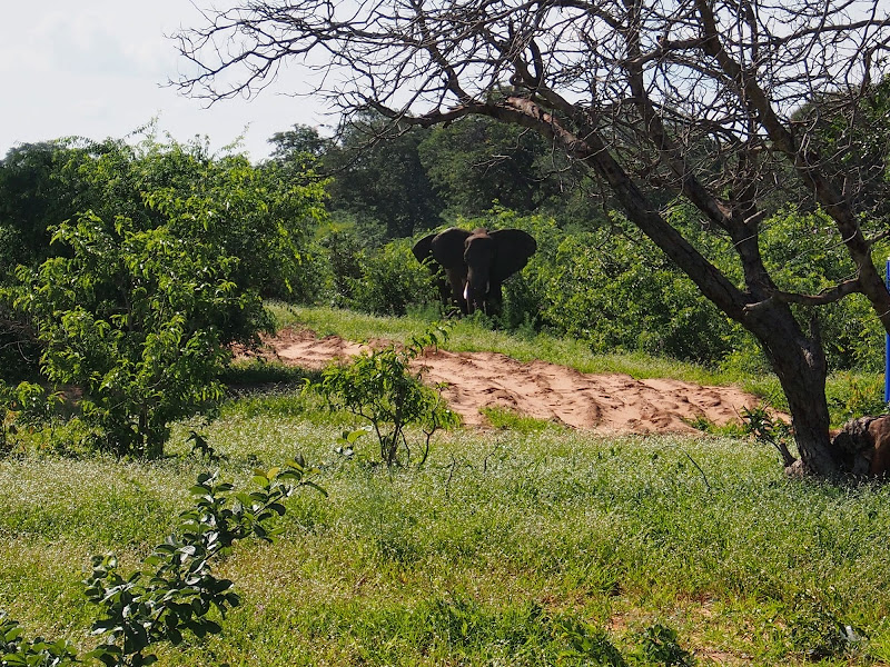
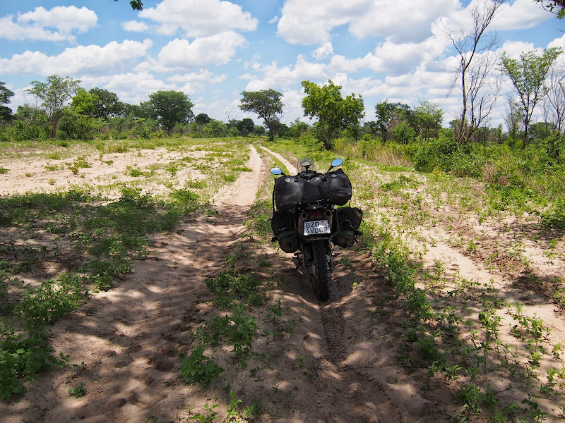
The only tricks up my sleeve were speed and anticipation (and  aftermarket exhaust probably) - both of which required reasonably open and good track for visibility and quick getaway. The road up to Mababe village was good and wide so soon I relaxed and at 60 - 70 kmh proceeded checking both sides of the road for game. Eventually I came across two herds of elephants. First herd was crossing the road about 150 meters in front of me - I did not try to get closer as I already have pictures of my bike with elephants and do not like to bother animals more than absolutely necessary. The second herd was on the side of the road - most of the elephants moved on my arrival further away into the bush, but one bull stayed about 40 - 50 meters from the road to protect the rear I assume. He was surprisingly unfazed by the bike - elephants usually hate bikes because of the noise and speed I assume. He left me in peace to take few pictures and video. Stupidly I forgot to change the high ISO on the camera used in the morning to capture the sunrise and the pictures ended up horribly overexposed, like so:
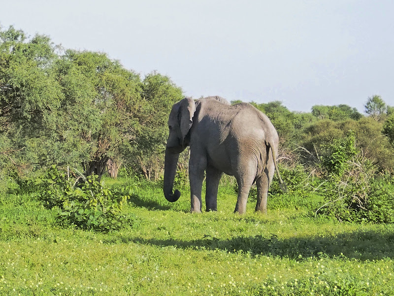
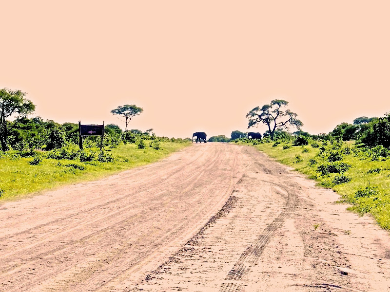
P1010226.jpg


P1010228.jpg


I arrived to Mababe village about 130 km from Maun at about 8:00. Mababe was little collection of few houses where the main road turns left to the west towards Kwai village at the Moremi North Gate. Straight ahead continues small double track closely hugged on both sides by dense bush. This was the track I was to take to get to the 19th parallel further north. I had a look and it did not look good - I could see number of mudholes already on the first 100 meters before it disappeared in thee bush. I knew this was potential showstopper from the Durban guys who spent two days in 5 cars with winches and stuff to make the 30 km from the 19th to Mababe village through the cotton mud - even though they missed this track. I was not keen to try to drag my bike through 30 - 40 km of cotton mud in a dense bush of Mababe Depression marsh full of Big 5 - no visibility or quick getaway there for sure. Even if there were no animals the cotton mud would have me knackered within km or two. I thought for a moment about pushing on to the Kwai and attempt the original norther cutline west, but the chances of getting through Selinda seemed nil. Shit does it end here?

There were few guys milling around in the village and I asked them about the track. They spoke surprisingly good English (I assume they were rangers or guides from the parks) and the confirmed that the track is no go. But when I explained them that I’m trying to get on the 19th parallel to go to Kasane they told me about another west - east cutline about 15 - 20 km back south crossing the road I came on, which should get me to the 19th. They said there is no mud or river crossings on the cutline as it is outside of the Mababe Depression. I asked whether its not off limits due to hunting concessions they said its no problem - people from around there sometimes use it as a shortcut east. I thought about it for a while - this cutline will have to be even more remote than 19th as that is at least occasionally used by tourists as proven by the Durban gang and Clinton. Also it was strange that I just came from there scanning my surroundings carefully for animals and could not recall any cutline. I checked the map and there was the north - east shortcut to the 19th parallel, but it looked to me that was the track I was standing at.

Another 4x4 full of rangers came from Kwai village came and also confirmed about the cutline south that can be used to the 19th. They also said that using the cutlines through concessions is no problem. So with all excuses gone there was nothing to it but head back south and see what’s what. I have refilled my tank from the jerry can and eaten a lunch bar to get some energy and set-off back towards Maun.

Little teaser for part 2 of Day 6 (sorry - again short of pictures for this instalment):
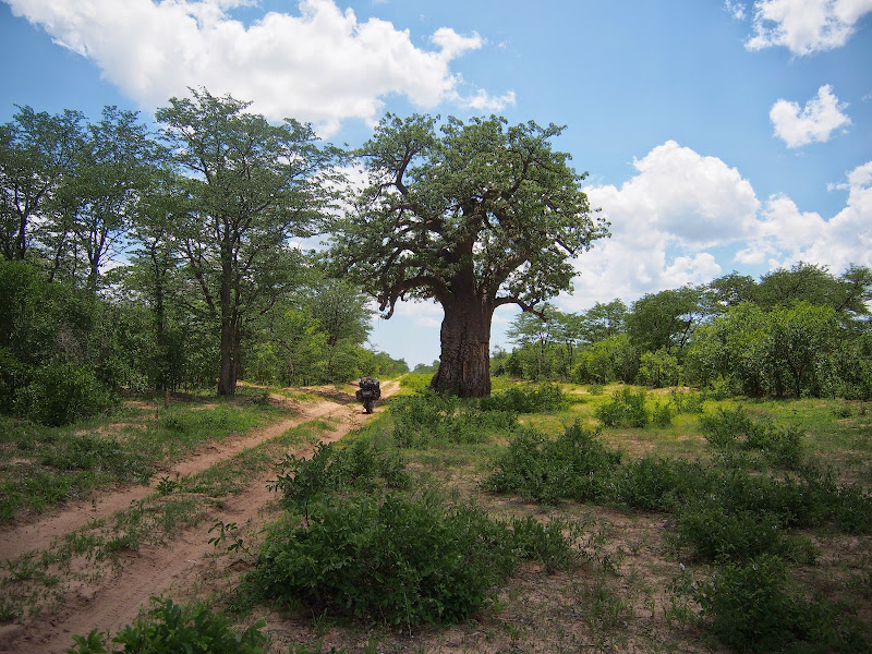
P1010234.jpg
 
Thanks again for nice comments.

GRASSHOPER said:
Cannot wait for next r.r The best i have ever read.

Thank you Sir, but maybe you can check the Roll of Honour section, in particular the RRs from Metaljockey.
 
Nice ride, enjoying it as you cruise along. Great photos as well, need more  :ricky:
 
Day 6: Part 2

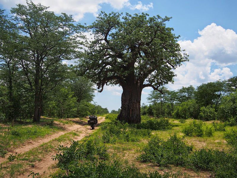
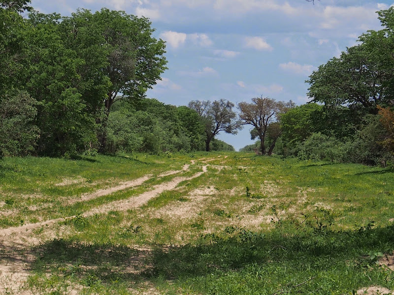
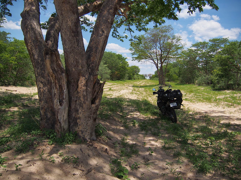
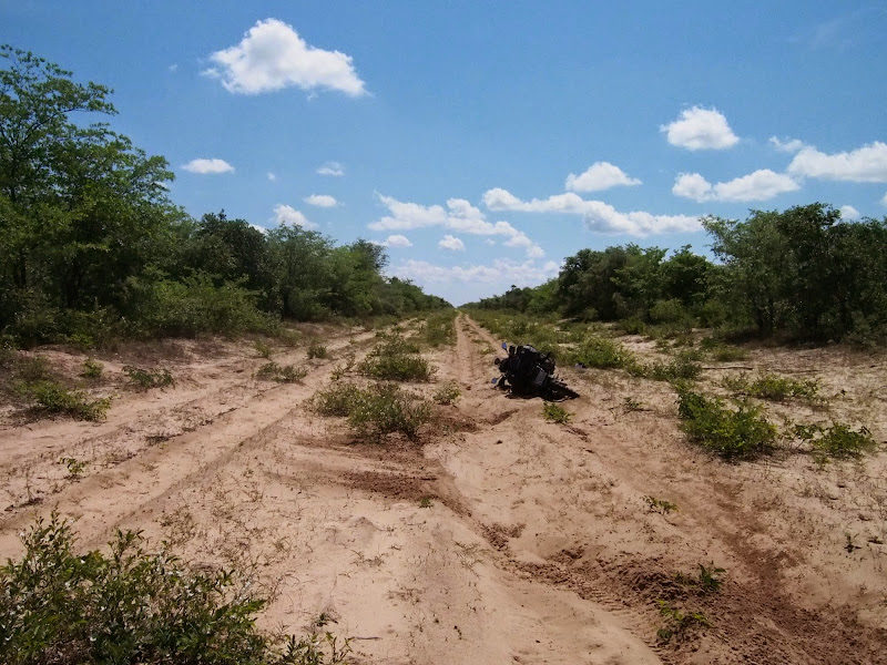
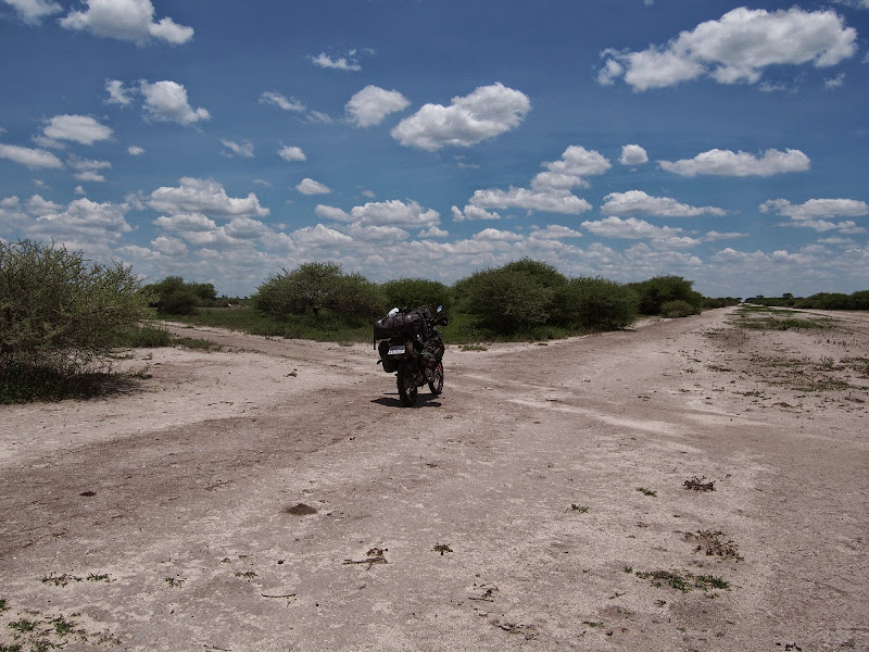
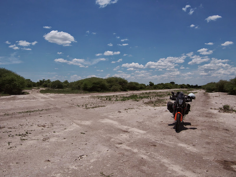
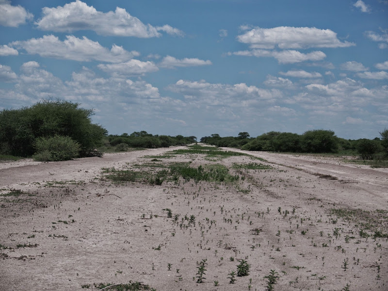
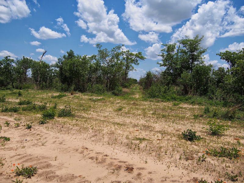
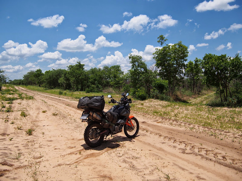
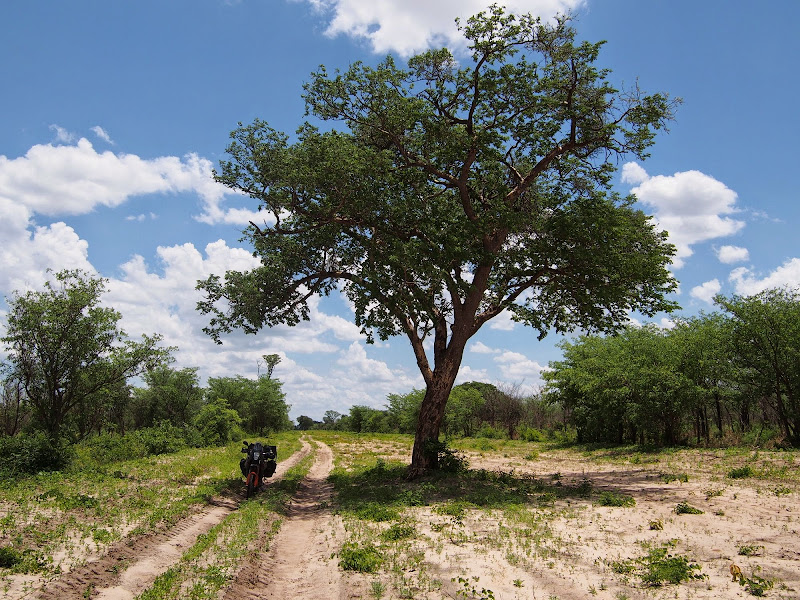
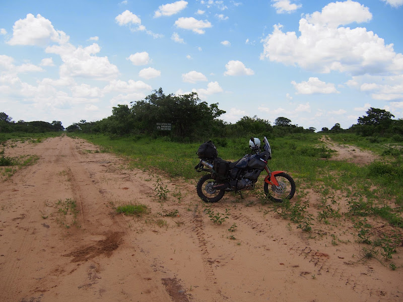
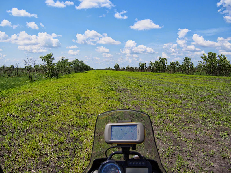
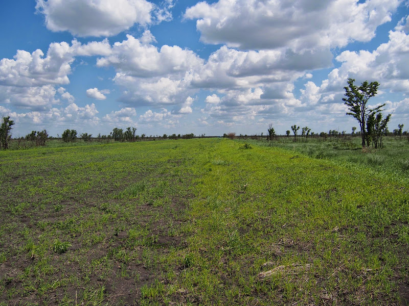
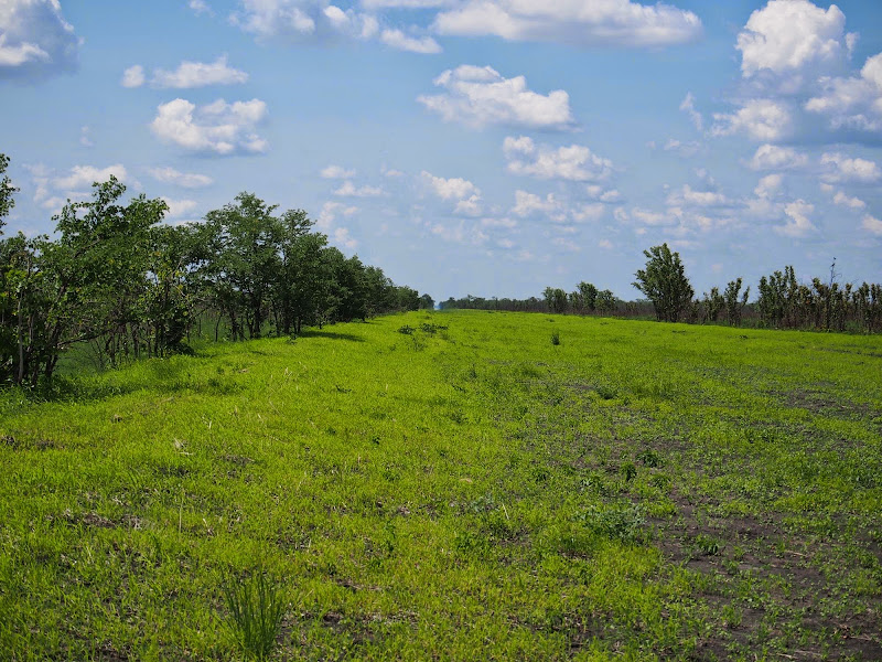
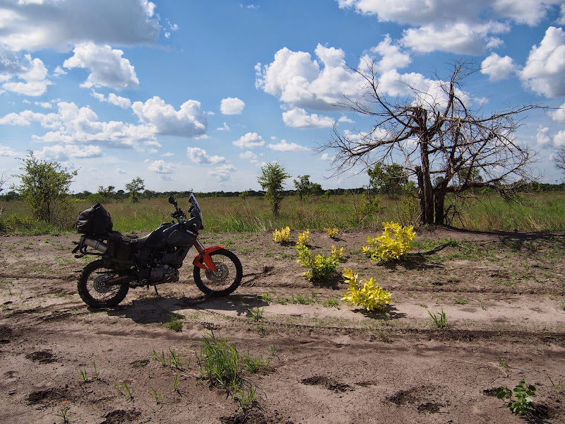
Sure enough, about 20 km south of Mababe there was a big cutline about 20 - 30 m wide with elevated banks on each side heading straight east - so much for my situational awareness during the ride up. I set-off tentatively on full alert looking for a sign to turn back. The riding was quite easy - double trek which alternated regularly between compacted smooth dirt at the lower points (I assume from the water that may concentrate there), easy sand that could be ridden at 80 or so and deeper sand trek at the higher points. This enabled to rest on the easy bits and then take the trickier bits with enough speed to make good steady progress. The cutline was flanked by dense bush on the sides, which occasionally opened to the plains with scrub bush gardened by elephants.

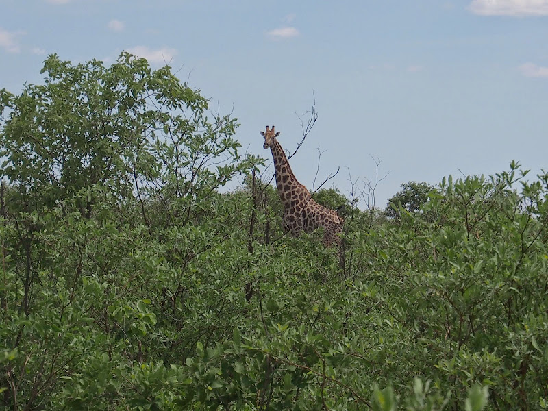
The added complication to watching your line in the sandy trek, was a need to constantly scan the horizon for animals I may run into. Signs of the animals were everywhere: There was a strong animal smell hanging in the air - the whole cutline smelled like riding 200 km through a stable and the trek was overrun by animals. There were animals tracks and dung everywhere, to the point that in some places the trek disappeared completely and it was like riding through a ploughed field. Despite all this I have bumped only into two herds of elephants and one giraffe on the cutline - Kalahari was very green from the rains and the animals were dispersed deeper in the bush. When I’ve seen elephants I always stopped at least 100 - 150 m away to not bother them and not get boxed in the cutline.

This paid off on the second occasion, when I stopped and before I could take my camera out an angry elephant growl from the dense bush to my immediate left sent me packing - I executed faultless pivot turn in the deep sand (didn’t know I can do that) and backed off another 100 meters. Luckily I left my engine running. I don’t understand why in the 21st century bikes have to go through 10-20 seconds of light and sound show before they can start - I would send those engineers for a little jol through Kalahari, to get their thinking straight. I gave the elephants enough time to move on and then gunned it through that section as fast as I could.  

From the chat with the rangers in Mababe I expected the cutline to veer off north-east and connect with the 19th parallel. Pretty soon it became obvious that the cutline is going straight east in parallel with the 19th. This was a bit of concern as I didn’t have a clue if I’m on the right cutline and if its going all the way through to tar. One comforting thing were fresh tracks of a single car I followed for the first 40 km or so into the cutline - the car must have been through here after the last rain, which at least in Maun was 2 days ago. The car tracks eventually turned off into the bush to what I assume must have been hunters camp and from there onwards I was on a virgin double trek used only by animals. I was making good progress in the first 50 - 80 km section, the only close call being when I jumped at speed over a hump and landed with front wheel squarely on the edge of wheel sized one meter deep hole left by elephant who must have put its feet through soft mud here before it hardened. Luckily WD forks saved my ass and the stunt made me approach any further humps with caution.

At about km 50 the cutline crossed another north - south cutline . While I couldn’t be sure I assumed that this is the connection to the 19th parallel that the rangers talked about. I have considered taking it, but it seemed even more unused than the one I was on so I pushed on eastwards. Further on I crossed two more north - south cutlines - man, this place needs proper exploration.

P1010235.jpg


P1010243.jpg


P1010241.jpg


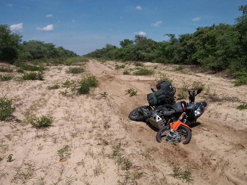
The deeper I got the more difficult the track became, the middle portion being the worst.  The cutline was still clearly distinguishable in the bush, but the place felt completely deserted and the bush was starting to grow over. The trek at this stage was deep sand winding for 30 - 40 km around the heaps of deep sand dug out by elephants and hardened by rains - much worse than the sandy parts in the initial section. Winding through the deep sand trek sapped my energy and seriously limited my speed. Which was a problem as it was getting hot - it was close to noon now, and slower speed did not provide for necessary ventilation. This, combined with hard work put me squarely at the risk of dehydration and heat stroke.

The crisis came at about midway (100 km into the cutline) when I had to stop and rest often. It was disheartening to muster my determination, set-off, push hard till the next stop and find out that I’ve made 800 meters or so. Eventually the exhaustion took over, I got sloppy, thrown off the line, tried to save it and ended up flying over the handlebars. The speed wasn’t high and I landed in deep sand emerging unscathed, but I was knackered.

P1010230.jpg


P1010232.jpg


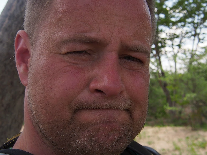
Eastern European putting a brave face on a heatstroke:
P1010251.jpg


I picked-up the bike and crawled to the bush to get some rest and cool down a bit laying under the sparse bush - I did not dare go deeper for the fear of animals. This is the kind of situation when hardened adventurers manifest steely determination. Me, I start flapping. The voices in my head - sarcastic bully (nothing is ever good enough) and well-meaning wimp (anything is good enough) had a field day. ‘So what are you going to do now idiot’ said the bully, ‘you’ve done enough, maybe you should turn back’ said the wimp. Yadayadayada.

Eventually I cooled down enough to start thinking again and pondered my options. One was to turn back as I already knew what’s there. I had enough petrol, but I was already 120km into the cutline, so had only 80 km to the tar - that is assuming the cutline actually goes all the way through, which I didn’t know. Second was to camp where I was, wait for the day to cool off and try again in the evening or in the morning - or hyenas, whichever comes first. The third one was to push on but try to ride off the trek - the cutline is wider than the trek so you can ride on its sides. I’ve done it earlier to avoid tricky sections and it worked fine, but the sand there was nice and flat. Where I was now the sand was heaped up nilly willy from all the elephant break dancing and I thought hopping up and down may tire me down more than the winding trek (it surely does in de Wildt). I decided to give the off-trek ride a go - I could always camp few hundred meters further if it does not work.

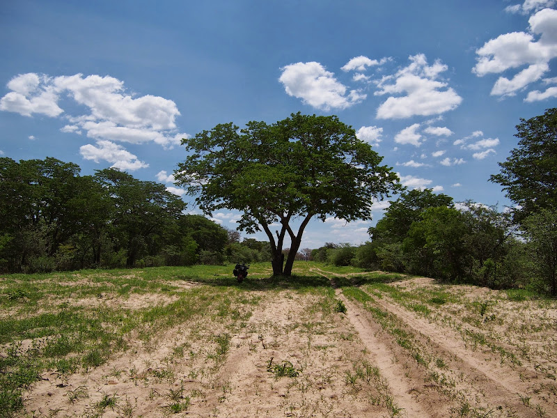
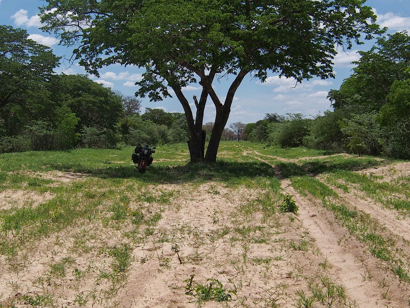
And work it did. The sandy heaps were actually softer than I thought and I was able to plough straight through them at speed without worrying about my line. This enabled me to pick-up speed, which in turn cooled me down and soon I was making good progress again. After another 10 - 20 km I made it out of the heavy sand into what seemed to be again more frequented section similar to the one at the beginning - no discernible car tracks, but much easier riding. My situation improved significantly - I was now able to ride long sections at speed sitting down conserving my energy and cooling down at the same time. Every passed km also progressively improved  my chances of walking it out should shit happen - great morale booster.

P1010245.jpg


P1010246.jpg


P1010261.jpg


At about km 160 (40 km to the tar) I have noticed a thatched roof in the bush on the left  - probably hunting lodge. I did not pay visit as I was not sure if they would like me there.

P1010238.jpg


P1010239.jpg


P1010240.jpg


And then, I was done. I still had about 20 km of cutline and about 80 km of tar to go, but I was done. The voices in my head stopped. All the thinking, worrying, planning, strategizing have stopped and I was just there riding through a beautifully green Kalahari bush and forest completely relaxed. Pure joy with no agenda whatsoever. I have done what I came for and I was at peace.

P1010254.jpg


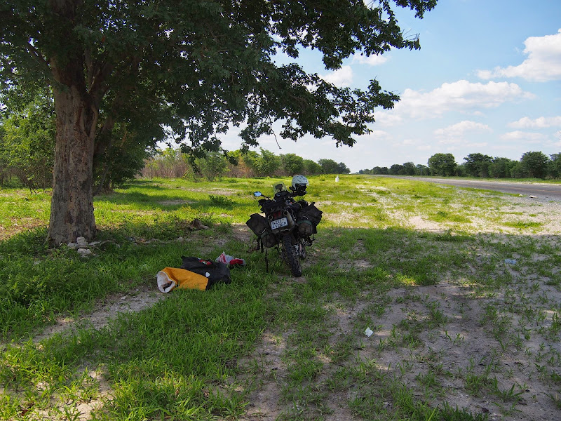
When I finally made it to the main Nata - Kasane tar road (about 130 km north of Nata and 80 km south of Pandamatenga at 2:00pm), I stopped in the shade under a tree to savour the moment and to pee. I could not squeeze out a single drop - a stage of dehydration that precedes onset of hallucination in my experience. I’ve pulled out of the saddle bags reserve warm water, about 5 of the Rehydrate powder sacks, and fixed myself few litres of yummy concoction (the Rehydrate is basically mix of salt and sugar, with some flavour to cover it up a bit) to get back in the proper pissing shape.

P1010265.jpg


P1010263.jpg


I’ve spent next hour chilling in the shade, sipping on the warm cocktail, and checking regularly how am I doing on the pissing front. I was a real inspiration for the passing traffic as on 3 three separate occasions a car full of locals stopped next to me for a piss break to support me in my quest. I guess the western individualistic need for privacy does not translate well into the strong community sense of the Botswanian people.

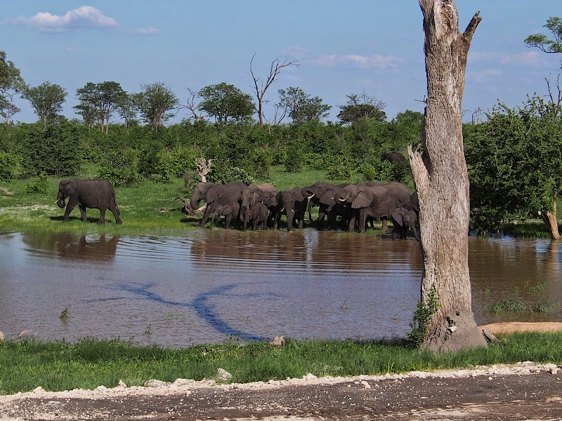
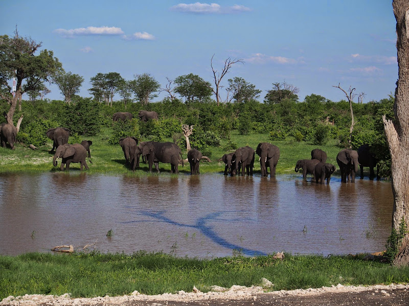
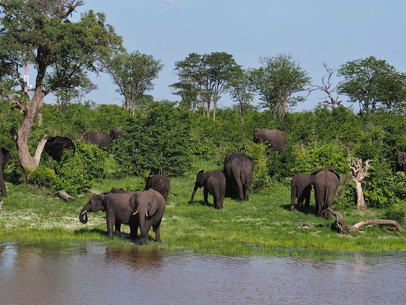
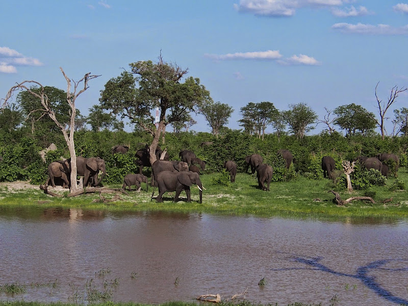
Once I could piss again with gusto, I leisurely packed up and set-off again towards Pandamatenga. I have briefly considered  taking the dirt track across the road heading east towards the close-by Zim border where it connects to the Hunters’ Road. But Clinton advised me strongly against the section of Hunters road south of Pandamatenga due to the high poaching activity. Adventured-out for the day, I took tar - I was in no hurry and cruised at about 80 - 100 kmh looking for the wildlife. Along the way I came across two herds of elephants. The first one moved into the the bush on my arrival. The other - bigger, congregated around waterhole drank and grazed in peace completely unfazed by the passing traffic.  

P1010275.jpg


P1010289.jpg


P1010292.jpg


P1010294.jpg


P1010286.jpg


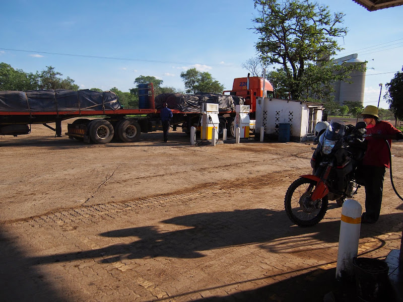
In Pandamatenga I re-fuelled at the Shell garage and noticed that most of the trucks there carried Kwa Nokeng logo. It seems Clinton has much more on his hands than just little Adventure biking company.

P1010297.jpg


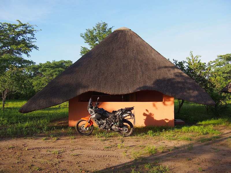
There seemed to be two options available for accommodation in Panda - some kind of rest camp in the village and a lodge about 10 km further north. I went for the lodge. It was a nice small family run affair with bar & restaurant, chalets and private waterhole used by the passing game. I was the only guest and, once settled in one of the chalets, I’ve spent the rest of the evening chatting to the family and locals in the bar and watching the animal traffic at the waterhole over the Christmas Eve dinner.

P1010305.jpg


As far as the Christmas Eves go, this was a good one.

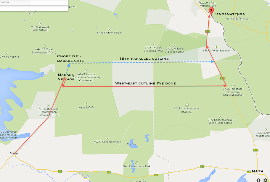
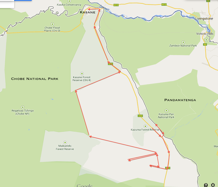
Map of the route (I've planned to do the blue route, ended up doing the red):
Screen%2520Shot%25202014-04-28%2520at%25204.36.58%2520PM.png


Video summary of the day:
[flash=640,385]https://www.youtube.com/v/DzcGLtxF5tU[/flash]
 
leeeekkkkkkeeeeer  :ricky: :ricky:
 
Day 7

I woke up to another nice sunny day - Christmas Day to be exact - with puffy white clouds for a background. The objective for the day was Kasane 100 km north. I packed up and after hearty English breakfast set off.

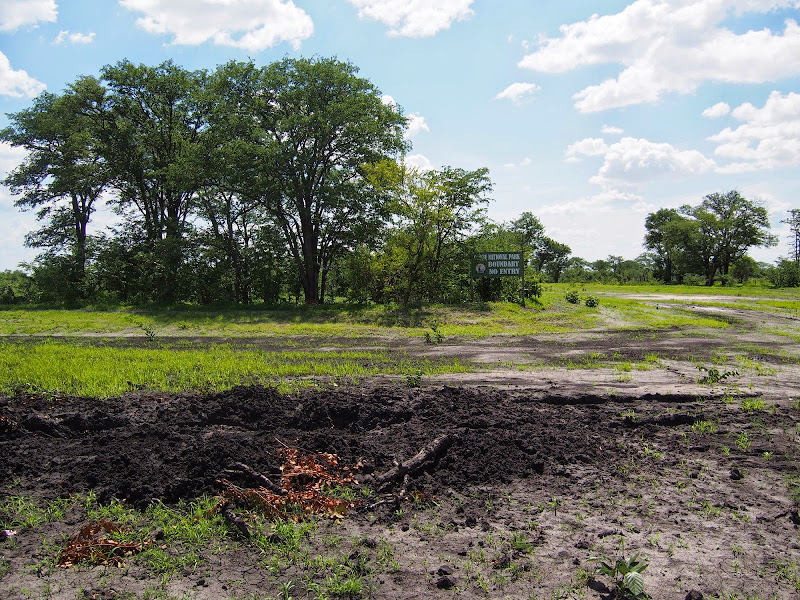
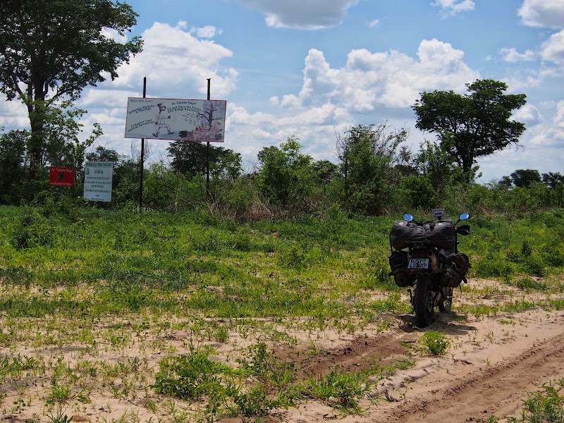
I came here with the plan to ride Hunters road along the Zimbabwean border, hopefully encountering lots of game. However, all the people I’ve talked to over the last 3 days said that it’s a no-go because of the mud (‘up to your gat’ as the lodge owner put it). So naturally I had to have a look. I retraced back to Panda, where I turned left towards the indicated Bots/Zim border crossing few km away. About 50 meters from the border I’ve turned left on the red soiled cutline heading north - the northern section of the Hunter’s road.

My understanding is that that the Hunter’s road runs along the Zim border all the way from Nata to Kazungula about 300 km. Clinton warned me off the southern section between Nata and Panda because of the heavy poaching activity and attendant risk of aimed shot wound. According to him even Botswanian army otherwise very active in fighting the poachers, does not go there.

The surface at the beginning of the road was wet but no mud surprisingly - just firm red soil.  I settled into easy cruising speed looking out for any animals I can spot. It seemed odd that all those people I talked to would be wrong, but maybe they just haven’t been here for a while - it was about 6 days since the Durban gang have been here and the cutline may have dried up since.

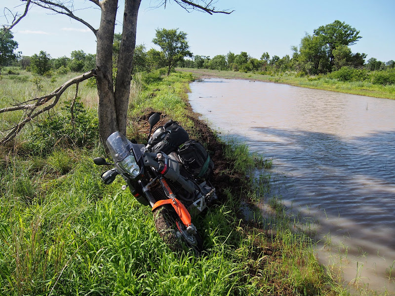
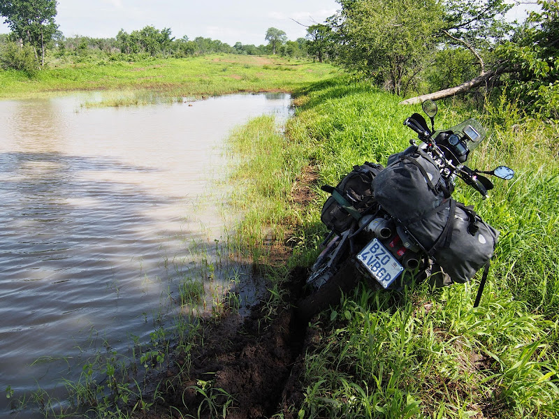
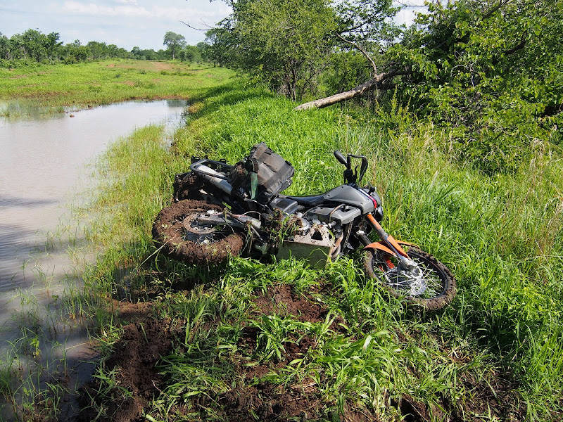
But they were right as I was about to find out within the first 10 km. I’ve came across the first big mud hole full of water after about 5 km. I’ve managed to bypass that one gingerly along the elevated muddy bank to the left. About 5 km further I’ve came across much bigger water filled mud hole covering the whole width of the cutline. I’ve checked the bush to the left, but it was just marsh as far as I can see. So I tried to pass on the steeper right bank but eventually got stuck about two thirds of the way. Both E09s  were completely clogged by the cotton mud with the rear dug in and there was no way I could ride that one out.

Not being able to put the bike on the stand I leaned it against the right bank and went to check the bush on the right. It was dry enough to ride out, there was even good dry double trek running in parallel with the cutline about 20 meters to the right that I could potentially proceed on further. But it was marked ‘illegal road’ on the T4A - I believe it runs on the Zim side of the border. So I had two options once I get unstuck. Continue north on the Hunters road and use the trek on the Zim side to bypass big mudholes in the cutline (assuming the trek remains dry) - obviously at the risk of becoming a guest at Bob’s prison should I get caught. Or turn back.

P1010309.jpg


P1010308.jpg


P1010312.jpg


Normally, with tar being the only other option I would have pushed on - especially as it was Christmas Day and the border patrols would be probably more relaxed about their patrols. But the night before staring at the map over the dinner I found another potential alternative. The map was showing treks going from tar south of Panda north-west towards Chobe eastern boundary and then following the Chobe boundary north all the way to Kasane. None of these treks were on T4A, but the map provided GPS waypoint for the trek entry point and another 2 waypoints on the Chobe boundary that I could aim for once on the trek. With alternative this attractive I decided to turn back.

To get unstuck I pivoted the bike on the ground 90 degrees to the right over the edge of the bank - another good reason to carry your saddle bags up front on the passenger pegs as they are great as pivoting point close to the COG - much like the sideways cylinders on GSes. I cleaned the mud of the tyres, picked the bike up and ridden it down the bank and then took a half circle across Bob’s real estate back to the dry part of the cutline. 

Once back in Pandamatenga, I turned south on the main tar I’ve came on yesterday. South of Panda there is about 10 by 10 or so km of cleared fenced bush used to grow stuff - not sure what. I was always surprised to see any agriculture up here as I thought the soil is basically infertile sand not able to support anything of economic value.

P1010317.jpg


P1010323.jpg


The entry point I had on GPS from InfoMap for the shortcut to the trek to Chobe was about 100 m north from the northern fence of the farm. It was a very muddy trek winding through bush and way too slippery. after about km I retraced back to tar to look for an alternative. I tried wide sandy road along the inside of the southern fence 5 km south, but within the 5 km I’ve came to the rear fence - a bit stupid on my side, surely they will not let the rear open in the place teeming with african game all around. So back to tar.

I rode another 20 km or so south to where T4A was showing road going from tar north west stopping dead after few km - but I thought I’ll see if it actually continues further or crosses any other tracks as it seemed to be at the point where InfoMap indicated start of the trek (stupidly without a waypoint this time). The track was actually showing on GPS in thick red line - the same as for the main tar road. On the way there I was wondering if I’m so dumb to miss a tar turn-off going west on my way up.

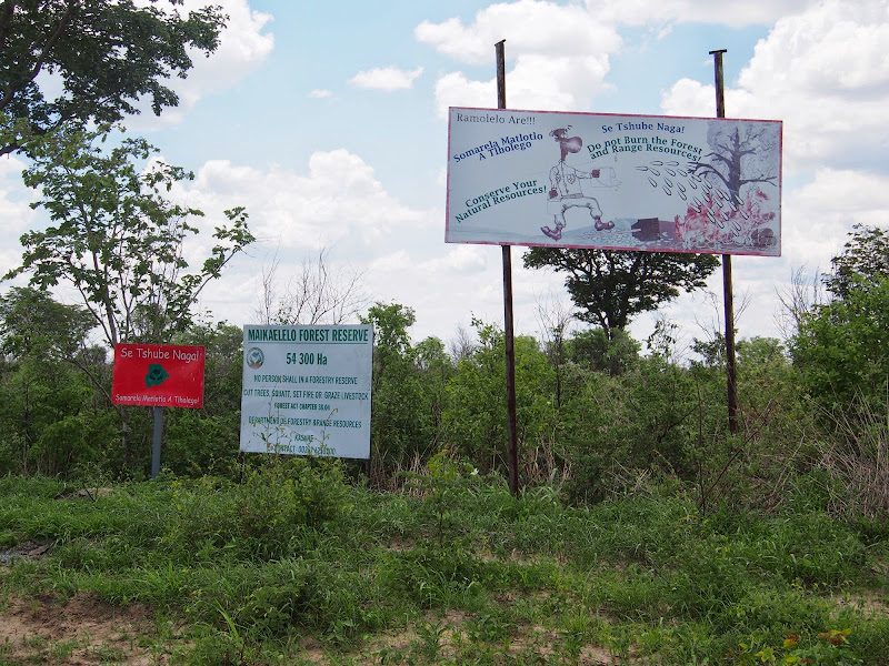
I’m not (at least this time) - the trek was barely visible double trek hugged closely on both sides by thick forest. There were few small stones laid across the entry point seemingly indicating no entry - but there were no signs and I knew from Clinton and the lodge owners that this is no concession but a forest reserve open for public. So I took it.

I proceeded tentatively as there was limited visibility because of the thick forest or alternating bush on both sides - first time I would see lion/elephant/buffalo would probably be when we connected. Riding wasn’t particularly difficult even though the trek seemed unused. There were some longer sandy sections, nothing dramatic. That said I would probably not be able to outrun committed lion here.

So I was pleased to come across well maintained north-south cutline after about 10 km . It wasn’t going in the right direction - I didn’t have any GPS tracks (except the tar one I was now supposedly on) and was just aiming for one waypoint about 50 km north west in Kalahari. The trek was continuing in the right direction on the other side of cutline, so I continued on that one, but this time knowing that I have an alternative to explore. After few more km it became obvious that the trek has been deserted for quite a while. It was still visible and should I not be in the lion/elephant/buffalo/rhino/leopard territory I would happily continue. But here it felt just plain dodgy, so I retraced to the cutline and took-off north.

P1010331.jpg


P1010332.jpg


The cutline after about 20 km came to the south-west corner of the above mentioned agricultural estate. I’ve been in that corner only an hour or so earlier - however on the inside of the fence. Also another big west-east cutline crossed the one I was on at this point, while was turning noticeably to the north west. Looking at the GPS the waypoint I was heading for seemed to lay somewhere in the middle between the directions of the two cutlines. No point dwelling on this too long, I turn left and took the one going west.

The riding was nice and reasonably easy but after about 20 km or so I’ve noticed on the GPS that I was crossing the trek I entered the bush on - GPS still indicating solid tar. The trek had right direction so it was obvious that I’m heading way too south - unless there is another cutline turning north later. I continued for another 10 km or so when the cutline turned about 45 degrees to the south-west and was going in that direction as far as I can see. Clinton mentioned that if I come on the 19th I do not need to take it all the way to the tar, but turn north-east (from the opposite direction) and arrive almost directly in Pandamatenga. I believe strongly that I would have come out on this cutline. But it was taking me clearly away from where I was heading to so I turned back. I’ll do this one next time.

P1010326.jpg


P1010325.jpg


When I came back all the way to the agri estate, I turned back left on the first cutline I came on and headed north-west. The cutline initially was swamp and I had to ride on the high banks to bypass mudholes in the middle. I have seen three warthogs running away at the first mudhole. Pretty soon it became obvious that the cutline was actually heading for my waypoint on the Chobe boundary and I eased again into the ride.

P1010360.jpg


P1010361.jpg


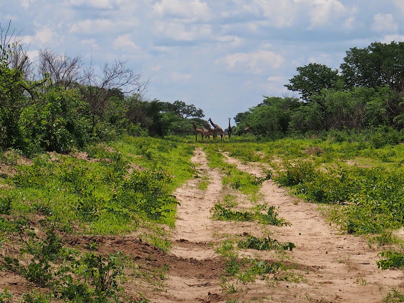
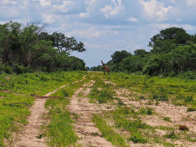
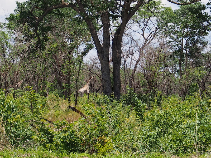
On the way I came across number of antelopes running across the cutline, as well as giraffe family chilling on the cutline.

P1010341.jpg


P1010347.jpg


P1010353.jpg


I have eventually arrived to the waypoint and found this:

P1010362.jpg


I believe this trek continues to the Tchinga campsite in Chobe NP. Luckily there was also this:

P1010364.jpg


This trek run along the eastern Chobe NP boundary slap bang towards the other waypoint up north. After chilling a bit I took it with a bit of apprehension. While I did not have tracks on T4A, it was showing about 30 km of marshes on the Tchinga pan between where I was and the next waypoint up north. I have already retraced twice today because of mud, so it did not seem reasonable to expect that I will be able to make it across 30 km marsh, this time deep in the bush.

The boundary was visibly more deserted than the trek into Chobe. Even though still in the bush, soon enough I knew that I’m entering the marsh as the ground everywhere was covered in the lush green grass. So far I was able to bypass easily any mudholes on the higher banks and the ride was actually quite uplifting due to vivid colours. After few more km the bush stopped and as far as I could see was just grass plain.

P1010369.jpg


P1010371.jpg


P1010372.jpg


Luckily, while there were some 100 meters long mud holes with standing water in places, the higher bank of the cutline was firm and I could ride at speed even though it was somewhat off-camber. I also stopped incessantly looking out for animals as I could see for km around and spot anything soon enough - for picture or escape.

Or so I thought. There were occasionally places with few scrubs sticking out on the plain next to the trek. While going through one of those on the bank with watery mud hole to the left and scrub to the right, I’ve noticed to golden coloured beasts running ahead of me in parallel with the trek about 15 - 20 meters to the right. It was pretty obvious what I’m staring at but it took my brain a second or two to click that it’s really looking on two lionesses. Luckily it also realized that they are actually running away from me and the animal in me instinctively gave a chase (human in me was too dumbfounded to know better). I continued on my line at good speed to bugger off if this would go wrong and soon got level with them to the right. As soon as I caught up they turned 90 degrees and moved away from the trek. I’ve stopped tentatively and spend some time checking 360 degrees if there isn’t backup waiting around, and by the time I’ve settled down for pictures they moved too far into the marsh and laid down. Well at least I scored some low quality video of the pass-by.

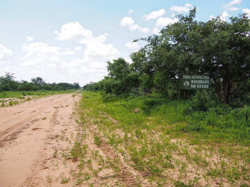
When I reached the waypoint on the other side of marsh it was a T junction of my trek and another west-east cutline. According to map I was to turn west here for km or two and then right again and continue along another northern cutline all the way to Kasane. But left, there was clear Chobe NP no entry sign again.

P1010375.jpg


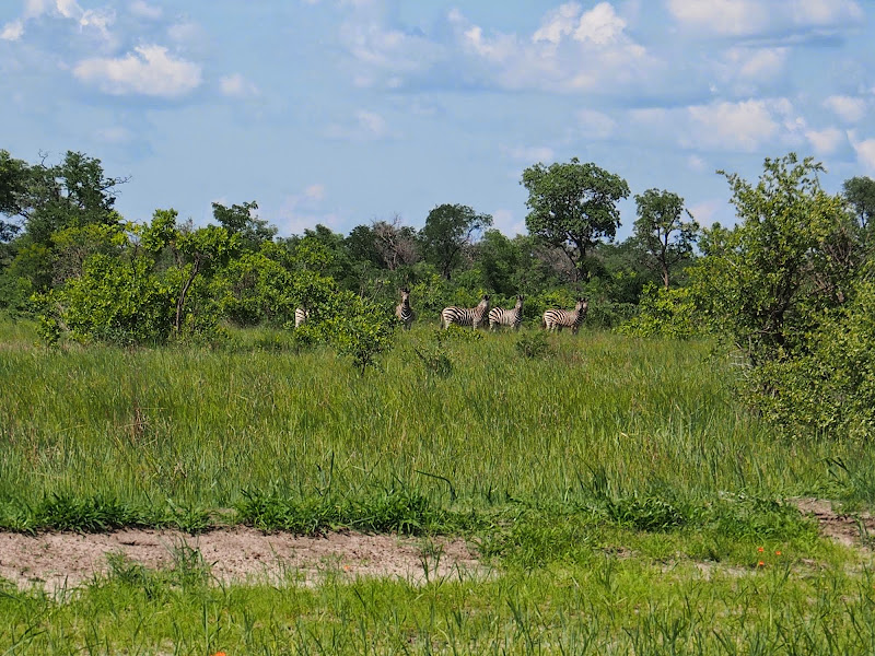
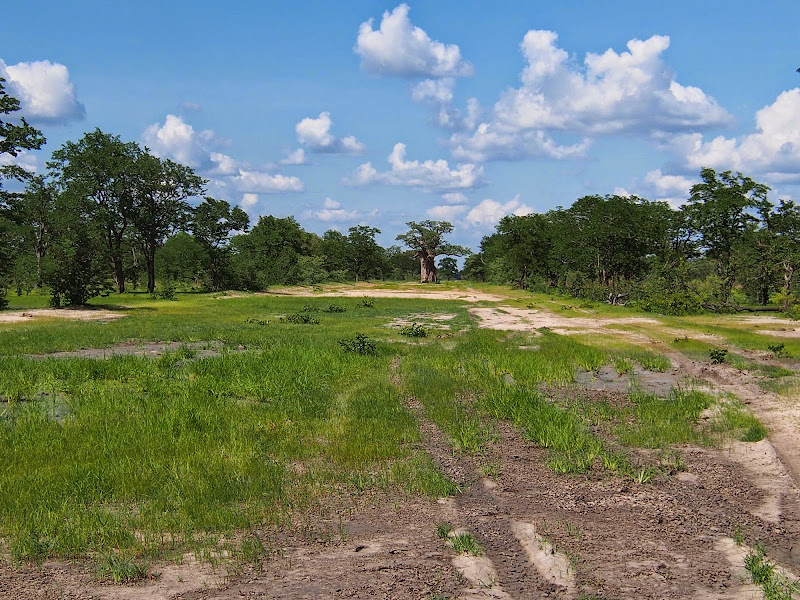
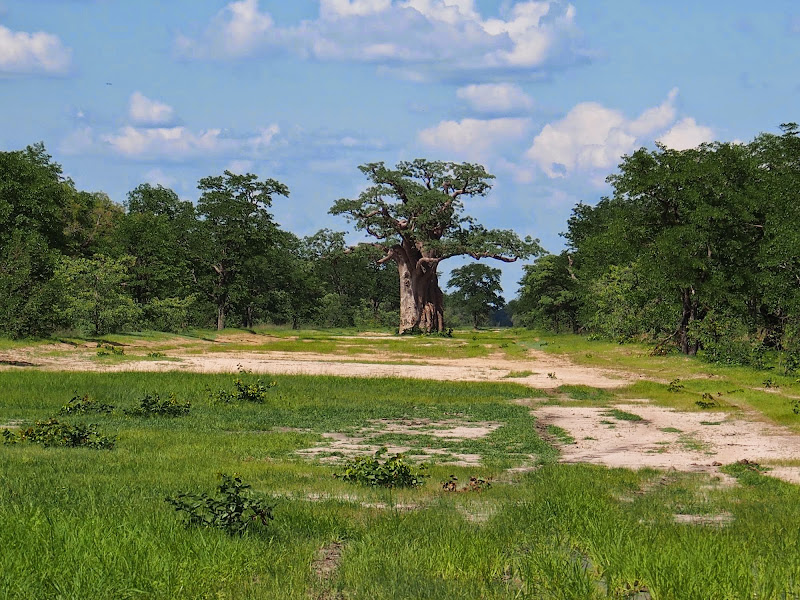
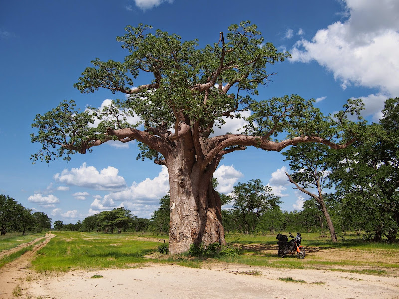
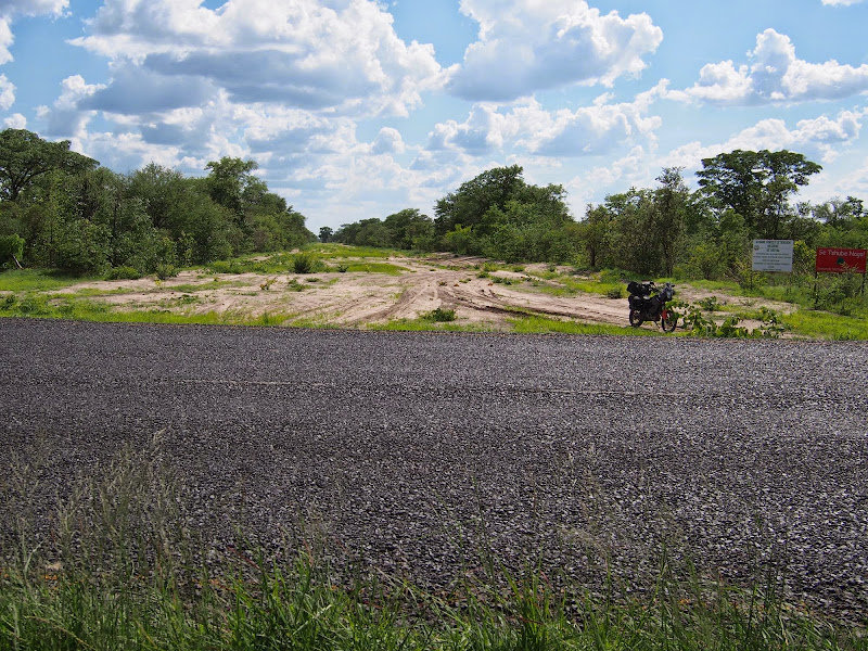
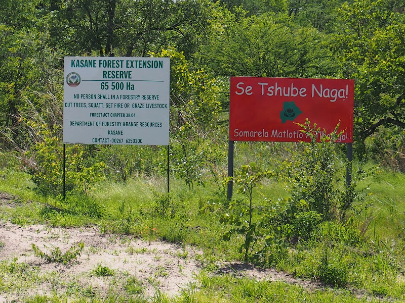
So the only option was to turn right and head east back to tar (I hoped as this cutline wasn’t on the map) about 30 km away. The cutline returned back to marsh for a bit and eventually entered the Kasane Forest Reserve before coming on tar. On the way I’ve seen some zebras and baobabs, like so:

P1010376.jpg


P1010381.jpg


P1010388.jpg


P1010389.jpg


P1010394.jpg


P1010405.jpg


P1010407.jpg


The exit point on tar was about 50 km south of Kazungula and I set-off north. About 10 km before Kazungula I stopped at the police checkpoint. Normally these things annoy me properly - I don’t see the point of permanent checkpoints in democratic country not in war, except to bully people. But here policeman pointed out for me the herd of elephants grazing peacefully on the edge of the forest about 50 meters from the checkpoint. This must be one of the universes practical jokes - after riding about 150 km in the bush today, the first elephants I see second as a police backup.

P1010414.jpg


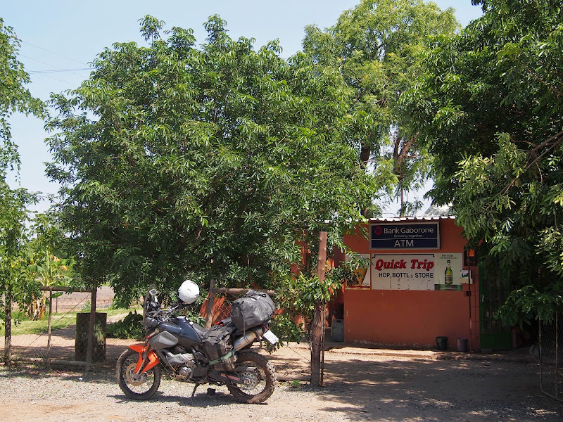
In Kazungula I stopped at the garage for re-fuel and sloppy hamburger. Once done I headed to Kasane. Except, I could not find it! I’ve been here about 3 times before, once sleeping over, and somehow remember that the town starts right west of the garage, not realizing that the garage is actually in Kazungula. So I have taken the road west wondering where the heck did the Kasane go. After few km when I believed I must have somehow missed it I’ve turned back and retraced to the garage to get confirmation that Kasane is actually in the direction I came from. So this time I pushed further knowing that at worst case scenario they will stop me where the road enters Chobe and eventually found Kasane few km further.

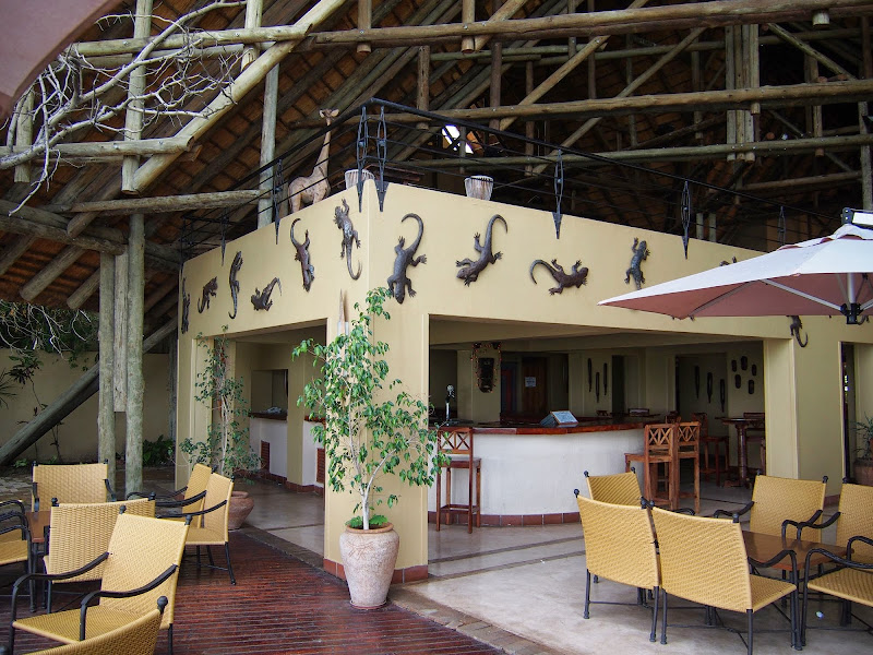
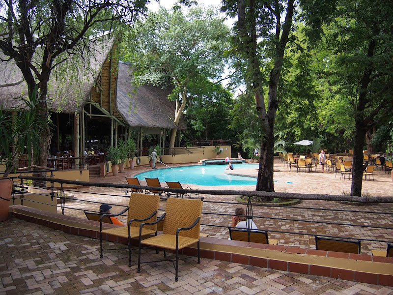
Normally I would stay at the backpackers lodge at the beginning of Kasane. But it was Christmas and my friends from Botswana always waxed lyrical about Chobe Safari Lodge so that’s where I went to splash a bit (quite a bit). It’s one of those upmarket establishments so when I arrived sweaty and muddy from the shindig with Kalahari the guards and squeamishly  clean guests at the reception didn’t know what to make of myself, but I couldn’t care less. I never book anything, I’m wired that way plus I wouldn’t know where to book - according to the plan I was supposed to be in Marienfluss at this point, and it did not occur to me that the lodge may be full on Christmas. Well I stank there long enough until they eventually found a room, but I would have to move to another room next day. I couldn’t be bothered to look for something else so I took it.

Map for the day:
Screen%2520Shot%25202014-05-28%2520at%25208.20.23%2520PM.png


Video of the day (and the Chobe river cruise next day):
[flash=640,385]https://www.youtube.com/v/IMBXb1jIa0M[/flash]
 
Africa, we have our problems but it's still a great place !
 

Attachments

  • P1010286.jpg
    P1010286.jpg
    243.4 KB
Dit is waaroor motorfiets ry gaan
baie goeie R/R met mooi fotos dankie vir die deel
 
sidetrack said:
Africa, we have our problems but it's still a great place !

Yep, that's why I'm stuck here for the past 7 years.

And thanks again for the appreciation - helps to deal with the procrastination.
 
About that procrastination....... :pot:
This is the first ride report i look for everyday when i log on.
Keep it coming :thumleft:
 
What a journey  :biggrin:

Keep it coming  :sip: and thanks for sharing
 
Sorry for delay, life is getting in the way. Will post next instalment tomorrow - but the  Rambo bit is more or less over.
 
Day 8

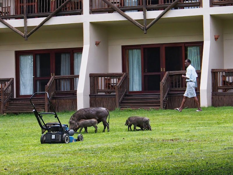
Next day, December 26th, was the rest day and I woke up in my luxury suite at about 7am to the sound of wound up two stroke. Obviously upmarket lodges like this one care greatly about the immaculate look even if it takes waking the whole west wing of high-paying customers early to get the grass manicured just so.

P1010508.jpg


P1010523.jpg


P1010450.jpg


P1010469.jpg


The plan for the day was straightforward: move to a new room, figure out where to from Kasane, and go for the afternoon Chobe river cruise I’ve arranged the day before.

Regarding the route from Kasane, I’ve already decided to do Zimbabwe. It would take me 2 long days to get to Kaokoland, most of it on the boring straight roads across north of Namibia and then another 3 long days of boring straight riding south-east to get back to Joburg. I’ve done Kaokoland year before so I did not feel a need for the push. The Zim route provided natural approach home, while promising new opportunities for exploration - except for Vic Falls I have not been in Zim yet.

The next consideration route was rear tyre. I’ve started from Joburg with new E09 Dakar, but at this stage about two thirds of the thread was gone. The wear on these ‘adventure’ knobblies slows down significantly as they get used up, but I still felt that it may be a stretch to try making  it all the way back to Joburg. I did not expect the rear tyre to make the whole length of the originally planned route including Kaokoland and Richtersveld. So I’ve arranged with Duneworx Yamaha in Swakopmund to ship a new tyre to a place in Namibia, which I will let them know about 2 days before I reach the place (I knew that my plans can change on a whim). Before leaving Maun I shot them an email with instruction to ship the tyre to Katima Mulilo at the eastern end of Caprivi strip about 70 km west of Kasane for pick-up on 27th of Dec. But once in Kasane I’ve found a message that the shipping companies are closed for holidays and no tyre will be heading my way. So much for forward planning - at least I do not have to waste one day getting to Katima and back.

Clinton mentioned that I should be able to get new tyre in Harare or even Bulawayo, but I did not hold my breath as getting new tyre between Christmas and New Year would be proper challenge even in Joburg. So the only reasonable option left was trying to nurse the current one back home - the crappy running engine keeping my speed in check should help with that.

There were just two issues with the Zim route. One, I did not have Zim visa which I officially need - but I winged it once before going to Vic Falls so this was not a major concern. Two, I had no clue where to go - Clinton recommended to follow lake Kariba along its southern shore and then do Eastern Highlands but that was the extent of my intelligence. I did not have any map, only T4A on the GPS - not an issue if the objective would be just to get back to Joburg, but obviously I wanted to explore what Zim has to offer.

No problem, I thought, and went to the souvenir shop to get the map. They had wide variety of gear for discerning outdoor enthusiast, including the specialised maps of Moremi birds, Chobe mammals and such. But no, no map of Zimbabwe about 20 km east. So I went to town and checked few bookstores and Spar, but no luck. I have noticed this intriguing Zim void in Bots before - when I talked to number of people living along the Zim border, including white Zim expats (like the owners of the lodge in Panda), none of whom could even confirm what is the current official currency in Zimbabwe. Well, I will have to wing this one as well and try to get map in Vic Falls.

I’ve spent the rest of the morning and early afternoon following rigorous hydration program in the bar and pool, feeling wonderfully out of place. I do not have a family so live mostly off the schedule of modern society. I avoid morning/afternoon rush hours as I do not have to take kids to/from school and normally take vacation away from the school holidays. Being in an upmarket lodge in the middle of Christmas surrounded by families with screaming kids was something I barely remembered from years long past - almost new experience. Admittedly normally unbearable after an hour or so, but I already found my peace in the cutlines and watched all the hustle and bustle with detached amusement. There were three evenly distributed groups of guests. Western tourists in designer safari clothes acting cool even to their own kin (except for few half drunk eastern european types awkwardly trying to control their racist predispositions) following their prepaid experience schedules with professional guides, South African families camping with their 4x4s and trailers taking few days off the bush, and to my surprise lots of Botswanian families with kids for whom the main attraction was the lodge itself - they gladly left this roughing it in the bush business to the whiteys. 

P1010484.jpg


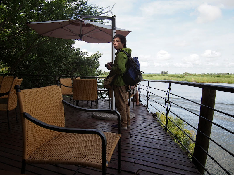
Japanese dude ready to brave Botswanian summer:
P1010490.jpg


P1010486.jpg


P1010487.jpg


P1010507.jpg


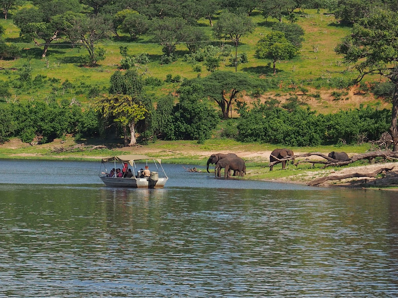
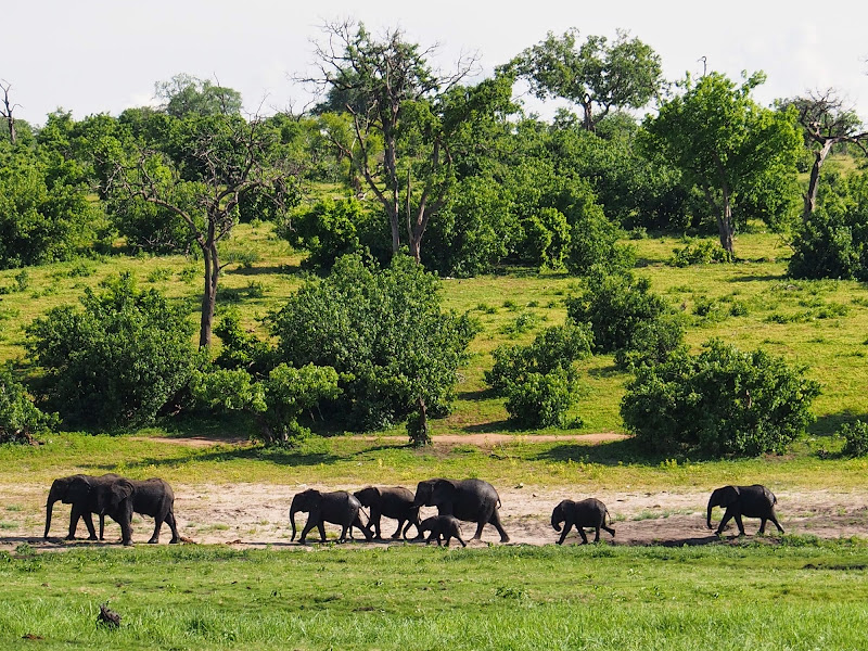
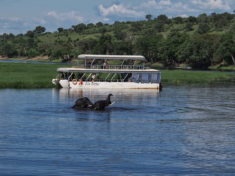
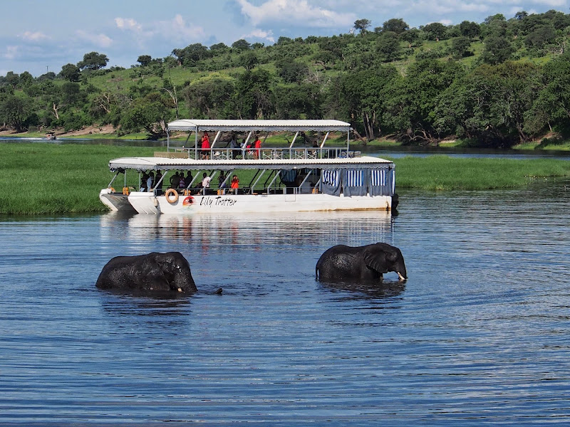
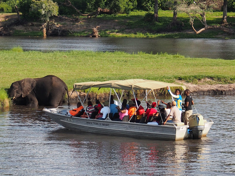
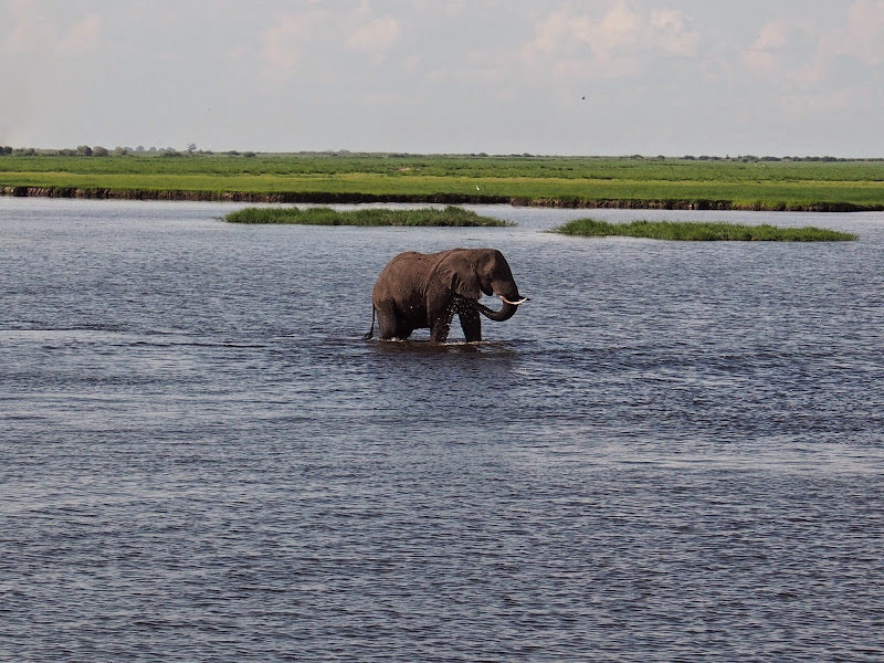
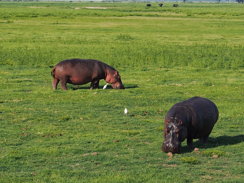
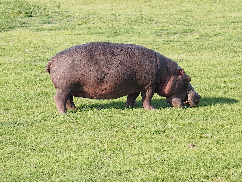
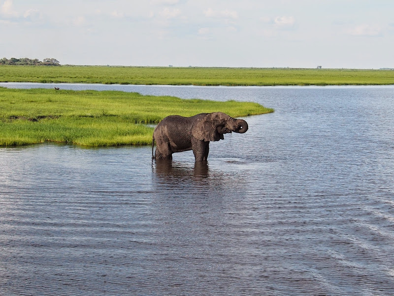
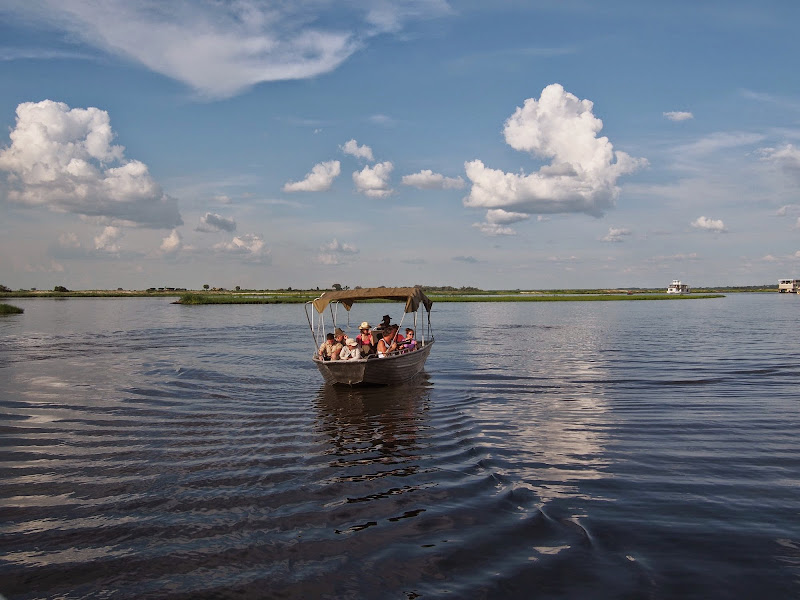
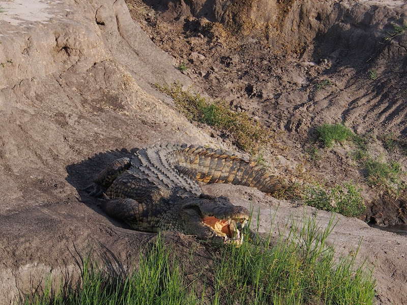
When the time has come, I have boarded the two storey boat with another 40 - 50 people for the Chobe river cruise. This is one of those mass touristy things that us gnarly adventurers normally snub snobbishly (well I do). But my admittedly much more middle of the road friends always bloated about it and  I had nothing else to do anyway, so I just went for it. And I have to admit I liked it a lot. The boat provides very different experience from typical 4x4 as it floats smoothly and silently right past the animals on the banks and in the water. The animals seemed to be completely unperturbed by the huge boat floating by. Here some pics: 

P1010552.jpg


P1010560.jpg


P1010578.jpg


P1010650.jpg


P1010683.jpg


P1010690.jpg


P1010709.jpg


P1010721.jpg


P1010723.jpg


P1010761.jpg


P1010764.jpg


P1010808.jpg


P1010824.jpg


P1010833.jpg


P1010850.jpg


P1010875.jpg


P1010887.jpg


P1010894.jpg


After the cruise I had proper buffet dinner and spent the rest of the evening in the bar.


Days 9 - 10

I woke up in the morning shivering with fever and my plans to get moving got shelved. I’ve stayed in the bed till lunchtime waiting for an improvement but it wasn’t to be. As always in Africa, I assumed malaria. I’ve had it once in Isla de Mozambique and then again in South Luangwa and it made for one of those memorable experiences, when after a high dose of Delagil I’ve spent paranoid night in the tent in Flat Dog campsite crouching with attack knife in my hand waiting for the lions I’ve heard purring outside to come for me. And the next day, tired from my night vigil, I decided at about 11:00 to take the shortcut from Flat Dog to Petauke on my fully loaded GSA1150 - how hard can it be if it is even on the Michelin map of Southern Africa? Turns out very - 7 hours and 120 km of hardened cotton soil double track, intersped with elephants and leopards dashing 2 meters in front of me in the elephant grass. 

In the afternoon I finally decided to go see a doctor, to check if I need to take malaria pills - I had some on me but wasn’t taking any as prophylaxis. There was a quite few people waiting in the public hospital - I could not be bothered to wait so went to check the private doctors in town. Both of them were closed for holidays and out of country so I went for an alternative. I have asked petrol attendant, lady in pharmacy and receptionist if there is malaria in Kasane. The answer was always no. Thus establishing conclusively that I did not have malaria I have retreated back to my room. I have checked the aircon in the room - one of those power generator sounding 50’s unit near the ceiling of the room without remote, and indeed it was running on the full heat. So I reset it and retreated to a book in the bed to recoup for the remainder of the day and the following one.
 
Day 11

After two days in bed I felt reasonably OK and was ready to get moving again. The plan was to set-off early to avoid the jam on the Bots/Zim border as all the day tourists head for Vic Falls. But as usually after few days in the bed I was way too sloppy and eventually left the lodge only at about 9:00 am. Sure enough, once I made the 15 km to the border, it was choked by long line of tourists snaking about 50 meters outside the immigration building.

I’ve got chatting in the line with lady in front of me. She was originally from South Africa and was on her way to Zambia, where she worked on some kind of animal vaccination research project. She was quite a character and has travelled throughout Africa in the sixties and seventies and had lots of good stories to share. I’ve done it myself, but I felt a bit envious as she has done it few decades back when it still qualified as real adventure IMO. I’m probably just romanticizing the old times, but I feel that the modern world with all the communication / information / technology at your fingertip diminishes the sense of mystery, awe and wonder you experience on your travels and dumbs seriously down the adventure.

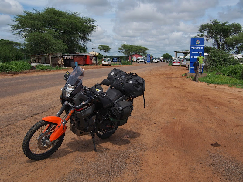
Anyway, the chat helped to deal with the waiting and eventually after about an hour and a half or so we made it through the border and said our farewells. I’ve packed in all the documents and paperworks, taken picture with the border gate and set-off towards Victoria Falls.

P1010900.jpg


As soon as I got to my cruising speed I was stopped again after about km or two at the police checkpoint and had to dig my passport and driving license out money belt again. This almost had me blow my top off - I know I should know better, but why can’t this f#$%  just check you on the border, so once you are over there is no more hassle?

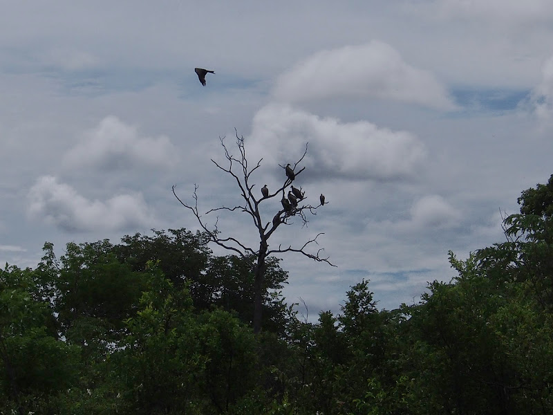
The ride to Vic Falls was uneventful - the only excitement being tree full of vultures, but I could not see what they gathered for.

P1010901.jpg


In Vic Falls I stopped at the first shopping mall to get money off ATM (yes, they use USD) and buy a map. I ended up paying 5 USD in an Tourist Information kiosk for one of those shiny illustrated maps with adverts for hotels on the rub side. I knew it’s not going to last but there wasn’t anything else available and funnily enough it was showing lot more roads than the T4A and had even Bots border crossings that were missing on T4A and the specialised Bots InfoMap - there obviously still is a bit of mystery that Outdoor Warehouse is not going to prepare you for in Africa.

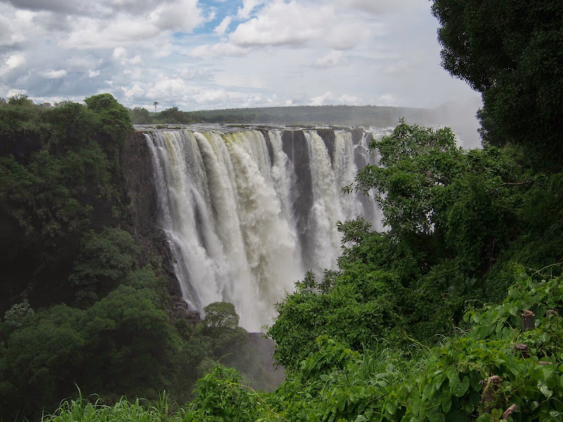
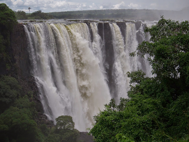
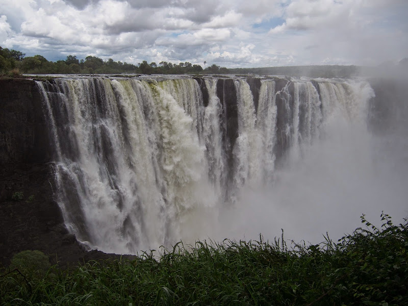
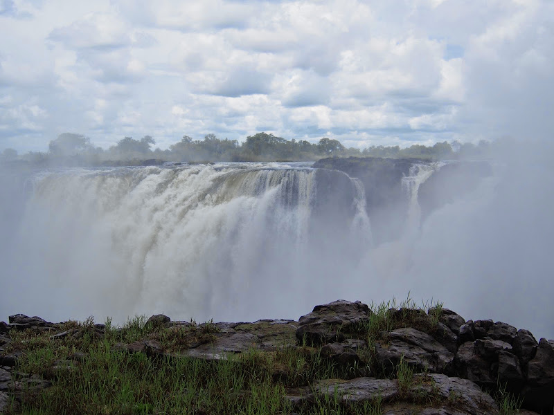
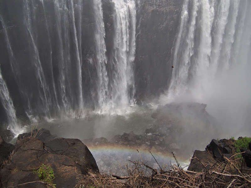
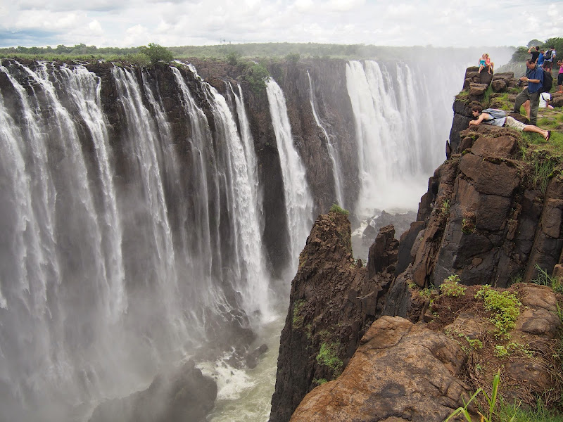
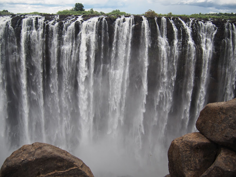
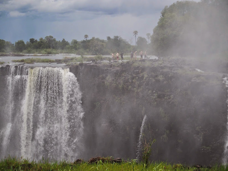
I was on the fence whether to go see the falls themselves or not. I’ve seen them couple of times before and there is only so long you can stare on the falling water. And it was late due to delay on the border and I still wanted to make some distance further into Zimbabwe today - not sure where to yet as I just bought the map. But then I was in no hurry so I thought I can spare 2 more hours to see the falls. On the way there I had a little fright as I’ve noticed long line of cars snaking along the surrounding streets around petrol station. WTF - I knew that they used to have petrol shortages when they still used ZIM $, but thought that these were a thing of past with them converting to USD. I wasn’t keen to get stuck deep in Zim waiting for petrol - I’d rather go south along the Bots border to be able to cross to Bots should this prove to be a problem. I have stopped and asked few people about the situation and they said that this is just local anomaly in Vic Falls, due to its off centre position - the rest of Zim should be fine. Well, I’ll see.

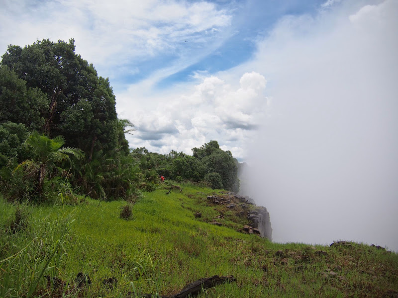
When I made it to the falls, I’ve parked the bike in the guarded place, dumped my gear at the ticket booth and went for walkabout. The falls were half full and the usual sight. Except for the heavy low clouds that were closing in quickly from the east where I was heading to later on.

P1010937.jpg


P1010939.jpg


P1010955.jpg


P1010967.jpg


P1010979.jpg


P1010990.jpg


P1011012.jpg


P1011024.jpg


P1011028.jpg


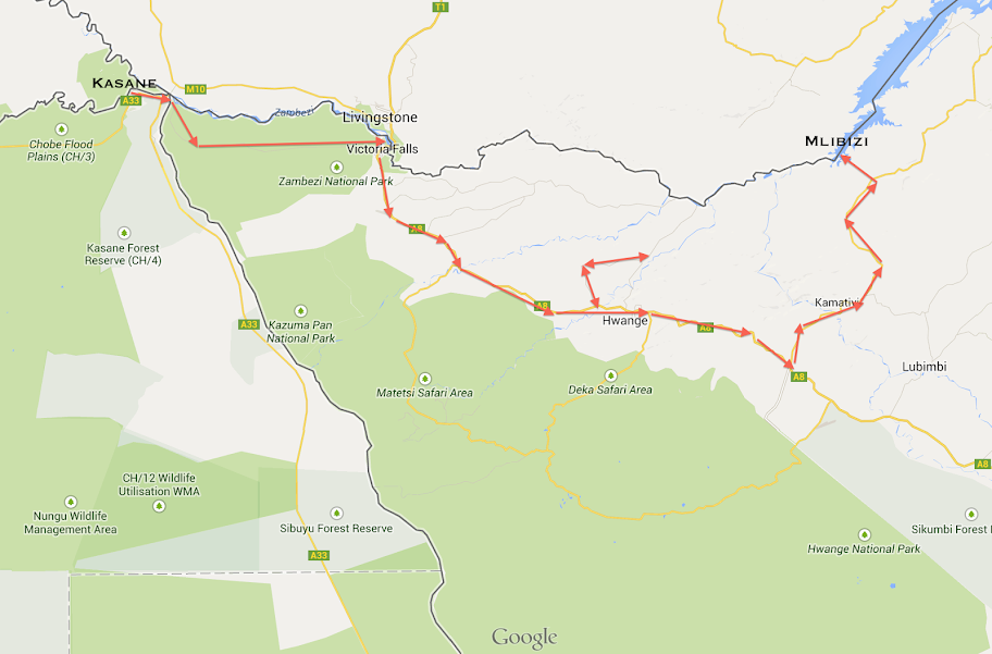
After the walkabout I had quick lunch at the overpriced cafe at the falls and checked the map to figure out where to from Vic Falls. I wanted to follow the south coast of the lake Kariba as close as possible. To get there the best option was a trek following along the Zim/Zam border branching from the main Vic Falls - Hwange road few km south of Vic Falls. But I wanted to confirm the petrol situation before delving into the side roads, so I decided to take the main south-east road to Hwange, get petrol there and then take side-roads northeast towards Mlibizi at the beginning of the lake Kariba for the overnighter.

After the late lunch I set-off. The road was good tar snaking through the hills and lush green forests reminding me of the B roads in Europe for which I have not seen an equivalent anywhere in Southern Africa. It was quite stunning how different the scenery was just within few km from Botswana, and that was Botswana after heavy rains! The lush green thick forest with the dramatic backdrop provided by the the few kilometers high cummulus clouds on the horizon reminded me of the African countries up north like Zambia, Uganda  or Rwanda. Nothing like that in Southern Africa - I was starting to understand why Zim expats in SA always get that dreamy 1000 miles look on their face when reminiscing about Zim. I did not stop for the pictures, so you will have to wait for the video I’m still making.

After about 100 km or so I was relieved to find petrol in Hwange - though here they called Mix or something. I’ve filled the tank and asked the attendant where is the next petrol station near lake Kariba. He didn’t have a clue so I will have to figure it out in Mlibizi.

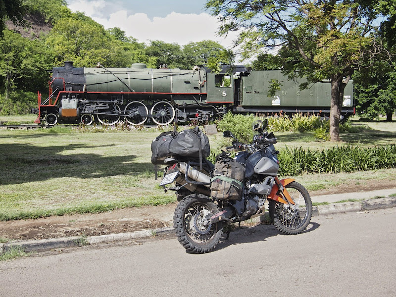
There was nicely preserved steam engine next to the petrol station, like so:

P1011044.jpg


At this stage it was getting late, I still had about 160 km to go to Mlibizi and the huge threatening clouds were closing in from north and east - I would be very lucky to get away dry. I could continue on the main road for another 60 km or so and then take turn north to Mlibizi - this seemed on the map like the tar road. But I was still keen to try the side roads, which I assumed were dirt  - there was one branching from the main road a km or so back north towards Deka and from there another one  east towards Mlibizi.

So I backtracked and took the side road north to Deka. Again riding was very nice on the snaking road across hills, fields and forest. But it was tar. Well, there was a tar covering width of single lane in the middle of the road - so to pass, cars had to divert onto the dirt shoulder. I didn’t expect tar here, especially given the stark poverty I could see along the road, this place was indistinguishable from Zambia up north, and I always heard how Zim used to be much richer - some say even compared to SA. But then - seeing the volume of rain they had here, the tar was probably necessity to keep the roads passable. And as far as I can tell  it was a good quality tar not affected by the heavy rains - unlike the tar here in Sunninghill which is gone after mere week of showers.

After about 30 km I have run into the dark wall of water falling from the sky. I could tough it out and push on, or go back and take the main road. I chickened out primarily because it was getting late and I did not fancy riding another more than 100 km in dark and heavy rain possibly on dirt. So I retraced back to Hwange and took main road for another 60 km or so and then turned north towards Mlibizi. Along the way I was lucky to skimp the rain clouds and except for few raindrops made it o Mlibizi dry.

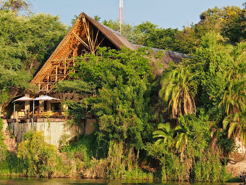
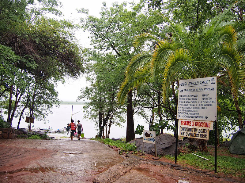
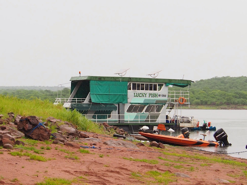
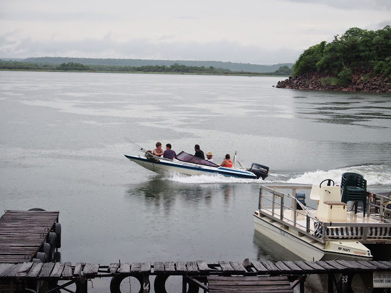
It was dark already and I had no clue if there is any accommodation available in Mlibizi, so I was quite chuffed when I arrived at the end of the road to the gate of the Mlibizi Zambezi resort. And they even had one last chalet available - normal price was 36 USD, but because this one was was a bit decrepit  (they used it only for emergency like this) they gave it to me for 20 - nice people. The chalet was a bit of a dump smelling of fishes - fishing being the main attraction of the resort for the tourists, but I’ve seen worse and settled in.

P1011047.jpg


P1011051.jpg


P1011056.jpg


P1011061.jpg


Map for the day:

Screen%2520Shot%25202014-06-05%2520at%25202.06.49%2520PM.png
 
Top