Exploring the Eastern Cape Passes

This site may earn a commission from merchant affiliate links, including eBay, Amazon, and others.
:imaposer:  Stunning pic that!
Great to be home, and yes thanks so much to all the guys we met, and Edgy and GlenInk who both
went out of their way to help us out  :thumleft:

Thank you to Trailrider and Asterix for an epic adventure!
 
You so right about riding all the awesome passes in SA - we did some of them mainly in the Eastern and Northern Cape recently and so look forward to your RR all the more
 
Read your RR and was an awesome trip! Must say I can't wait for TR's report of our trip either.
What's taking so long? problems? :pot:
 
Day 1

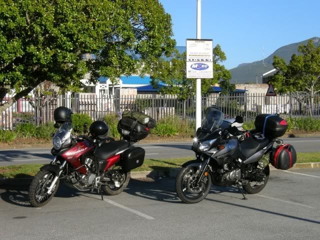
Excitement is off the charts. The bike was loaded and ready the night before already and we were up very early. Geared up and ready we said our goodbyes to the family and headed to the rendezvous point to meet up with Smidty and his son.

Ready for the big adventure:
cool.gif


P1050009.jpg


Smidty and I have not ridden together before and our sons do not know each other, so it was literally introductions before we set of. It was a perfect day for it too - clear skies and brilliant scenery. Smidty and I both needed to get away for a bit. Just get away from it all and recharge.

The wheels sang as we rode past Kaaimans, Wilderness, Island Lake, Langvlei, Sedgefield, Groenvlei, The Knysna lagoon... Perfect scenery on this crystal clear day. Seemed ironic that this was what we were trying to "get away from".

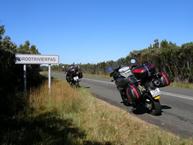
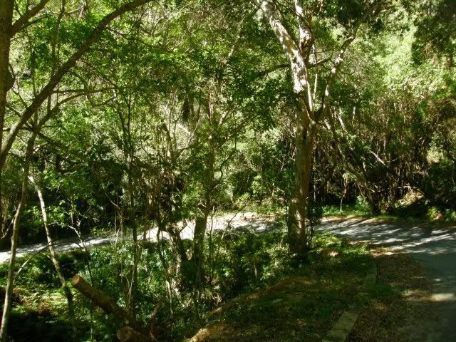
Just past Plett we left the Nasional road towards Nature's valley on the “old passes road”. Nature's Valley is a small village at the mouth of the Groot River at the bottom of the Groot River pass. The little town is enfolded with mountainous forest and must be one of the most beautiful parts of the Garden Route. It is the only residential area within a South African National Park. This route (the R102) runs through the Groot-, Bloukrans- and Storms River gorges are some of Thomas Bain’s masterpieces.

P1050012.jpg


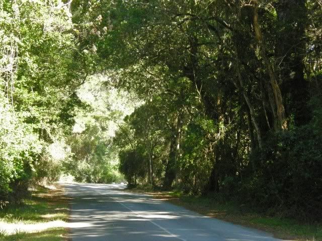
Nobody thought that a coastal road would be possible through the dense forest, but Bain never shied away from a challenge. This “old passes road” offers one of the most rewarding scenic drives in the country to travellers who have the time. But who has time anymore? Everybody races past on the N2.
banghe10.gif
Sad that they're missing out on this:

P1050015.jpg


"We're coming to the end of a hundred years or more of devices we invented to save time. What has become of this? Nobody has enough time anymore... We are a time-impoverished society. We have lots of material things, but we have no time left. It is the time of mechanical devices... It is the new poverty." Needleman - 1999

But not us
biggrin.gif
We are on holiday and have LOTS of time to take it all in!
cool.gif


Our third pass for the day:
(Kaaimans having been the first)

P1050017s.jpg


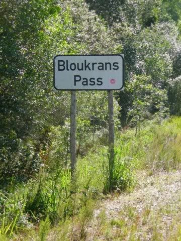
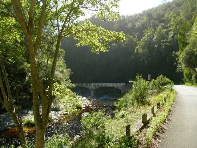
The original Bloukrans Pass was built during 1881 and recently upgraded. It is currently closed to traffic though due to flood damage. Well, it's closed if you're not on an adventure bike
evil610.gif


With the road being closed there is almost no traffic. Bliss! And just look at the scenery!

P1050019.jpg

This is just what the doctor ordered. Over that bridge we enter the Eastern Cape
headba10.gif


P1050023.jpg


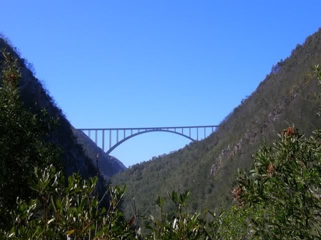
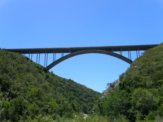
Shortly after crossing the Bloukrans River there is a magnificent viewpoint of the toll road-bridge over the river.

P1050033.jpg


Bloukrans Bridge was completed in 1984 and is said to be the highest single span arch bridge in the Africa (216m). They claim to have the third highest commercially operated Bungy Jump in the world. The thing is that you cannot see the beauty of the bridge when you're on it. Also, by riding over it on the busy N2 highway (and paying a toll to do so!
banghe10.gif
) you miss out on the alternative - the magnificent Bloukrans Pass. No wonder people want to (bungy) jump off the bridge. You have to punish yourself for such stupidity
evil610.gif


Next up is the Storms River gorge. The pass through the Storms River gorge unfortunately is not open to traffic anymore and you have to cross on the N2 over the Paul Sauer Bridge:

P1050035.jpg


The Paul Sauer Bridge is (wrongly) known to many as the "Storms River Bridge". It was designed by Riccardo Morandi and was completed in 1956.

After a short stint on the N2 the GPS tells us to take an offramp and a minor road and so we do. We both have the same route loaded on our GPS's but funnily enough the two GPS's want to take us to vastly different places
icon_scratch.gif
We stop at a T-junction and my GPS says "Turn Right on Road". Smidty looks at his GPS and it says "Turn Left on Road". What the hell? This is where I start having trust issues with the GPS...

Luckily we still know where we are and we turn Left. I shudder as I think we're heading into the Eastern Cape mountains where we would not know where we are and will be reliant on these devises. What did the future hold?

Another "refreshment" stop
cool.gif
Also our first gravel for the day!
headba10.gif


P1050036.jpg


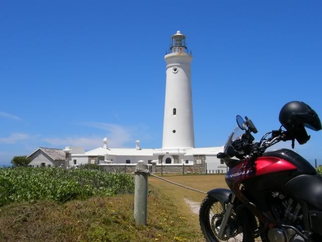
We're heading to St Francis Bay and the reason is two-fold: I want to photograph Seal Point Light house and I thought it a good idea to start off in the Eastern Cape at sea level, seeing that we're going to be on some pretty high passes at a later stage.

P1050042.jpg


Cape St Francis Lighthouse or Seal Point Light house was built in 1878 at this cape point to warn ships of the dangerous reefs that stretch more than a kilometer out to the sea. It is the tallest masonry tower on the South African coast standing at a height of 27.75 m. Although it is no longer in full operation it is open to the public and guided tours of this historic lighthouse are available.

This is where the ride really started for me. From here on we ride into the unknown. Especially with our very creative GPS's
icon_mrgreen.gif
The route was carefully planned and loaded but the GPS had other ideas. Somehow we ended up riding a dirt road from St Francis bay to Jeffery's Bay. I never even knew a dirt road between those places existed! Eventually we did get to the Van Staden's Pass:

P1050046.jpg


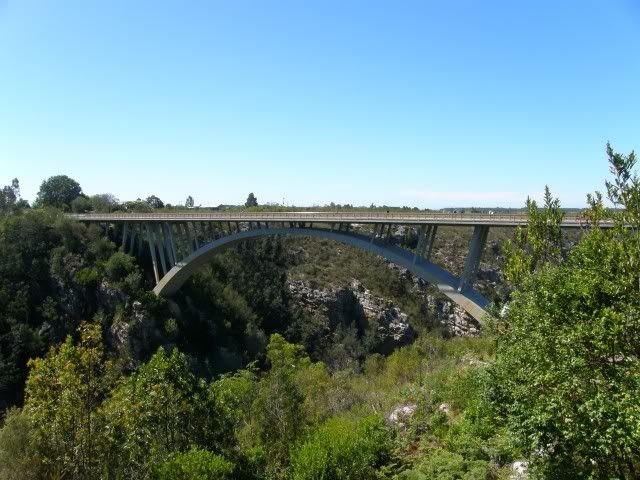
The Van Stadens Bridge is a concrete arch bridge over the Van Stadens River. It was opened on November 11, 1971. Just 12 days later, a Uitenhage man jumped to his death, and its reputation as the Bridge of Death grew from there. The death toll from suicides off the bridge is currently at 72.

A R1-million video-camera surveillance system, paid for by private donors, was installed in August 2005. Gauteng journalist Franz Kemp raised the funds after his daughter Inge had jumped off the bridge in 2003. The local police and pedestrians have rescued some twenty people from jumping off since that time.

P1050045.jpg


The latest suicide happened on the 8th of August 2009 when a 20 year old man jumped to his death while onlookers from Cape Town and a family from PE stood admiring the bridge. Standing here I could imagine that it must have been a terrible sight as you are quite close to the bridge.

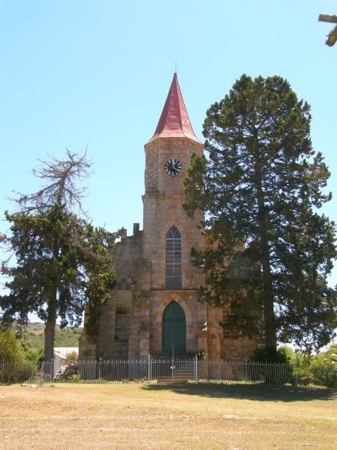
We continued North to Uitenhage where (luckily) I stopped to photographed this beautiful church.

P1050048.jpg


While stopped Smidty asked whether we're not going to get fuel. "Nah. The GPS has a waypoint marked Last Fuel Today. We'll do it there."

"Uhm, we've passed that waypoint already"
evil510.gif


What the hell? My GPS chose to ignore that little waypoint.
rolleyes.gif
Go figure. So we turn around to get fuel and supplies for the evening.

Some interresting trivia on Uitenhage: In the 1880s the signalman at the station, who lost both legs in an accident, trained a baboon called Jack to pull the signal levers. The baboon did the job for 9 years until his death.
icon_mrgreen.gif
Maybe I should get a baboon to work my GPS?
biggrin.gif


Finally we left civilization behind. We saw some beautiful scenery and impressive structures today, but the aim of the trip was to get away and into the mountains. So off we went, heading North towards the Zuurberge and Addo Elephant park. Incredibly I have never been here. It wont be the last time.

P1050050.jpg


This area was not always an Elephant sanctuary. This used to be farmland. As farming activities in the lower Sundays River intensified, the Addo farmers came into conflict with the local elephants which were very destructive of their crops. Eventually, a professional hunter was engaged to exterminate them. In 1931 there were only eleven elephants remaining when, fortunately, the government stepped in and created a sanctuary.

Today the Addo Elephant National Park has grown to some 125 000 hectares and is well on the way to becoming much larger still - about 400 000 hectares. The elephant herd now numbers over 400, a tribute to the long-term efforts of conservation.

We headed further North still to a place called Slagboom. Slagboom has it's own Police station and a dam, but not much else. I wonder how it got it's name? Sounds interesting. Anyway, we arrived at our camp at Slagboom Outdoors thirsty after a hot first day. Temperatures soared to 30 degrees today and an even hotter day was forecast for tomorrow
phew.gif


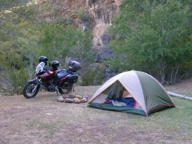
Camp was set up:

P1050051.jpg


We were the only people there. Pure bliss. Asterix and Smidty Jnr gathered / chopped some wood (and found that my new axe was as blunt as anything
rolleyes.gif
) and made the fire. We all clicked well today and got to know each other better on our first night. We chatted about the upcoming passes and it's difficulty level. I haven't been to most of the passes (except Katberg and Michell's Pass) myself so I had no idea what to expect. But I knew that there would be some testing areas.

TR: "Don't worry, it wont be worse than Baviaans and even that is not that difficult"

Smidty: "I've never been to Baviaans on my bike."

TR: "Well, it's not that bad believe me. The guys on the WD forum exaggerate everything. Some even think Swartberg Pass is difficult and that's nothing but a gravel road. I'm sure you'll be fine."

Smidty: "I've never been over Swartberg Pass on my bike."

TR: "Oh.
patch.gif
Well, don't worry.
smirk.gif
Trust me..."
evil610.gif


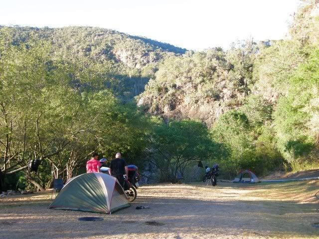
The four of us chatted around the fire under a brilliant starlit night. We removed our tents' rain flies when we turned in and lay looking at the vast expanse above us.

I even managed to clock in at home with the weak cellphone signal we had. Mrs.TR was worried about Asterix being on such a long trip.


*Phone rings*

"Hello hun! Just phoning to report that all is well. Asterix and I are in the Zuurberg mountains and about to fall asleep under the stars."
biggrin.gif


You cannot buy memories like these.


We rode 438km today and 4 passes. Tomorrow we head over the Zuurberg and into the Eastern Cape Proper. If all goes according to plan we'll ride Katberg Pass and sleep in Hogsback.


Sources: Wikipedia; Romance of the Cape Mountain Passes; jbay.com; Wikipedia; Routes.co.za; Addo
 
excellent!  :thumleft:

also, regarding Slagboom:

https://www.kirkwood.co.za/news/

Waar Slagboom se naam vandaan kom
                                                                                                                                 
In sy "Journal of a visit to South Africa in 1815 and 1816" (waarvan ek onlangs 'n kopiè bekom het) beskryf Eerw. C.I. Latrobe, die stigter van die Enon Sendingstasie, o.a. sy reis vanaf die Kaap na die Sondagsrivier vallei en sy tak, die Witrivier, waar hulle die plaas van mnr. Scheepers besoek. Hier het hy die Enon Sendingstasie aangelê.
                                                                                                                               
Hy beskryf dit as volg: “We directed our course towards a range of woody hills, and into a valley, through which the Witte Revier runs into the Sunday's river. At the farm of Jacobus Scheper, senior, the valley contracts, so as to form a glen, its entrance shaded by large trees. Here a party of footsoldiers, occupied a military post. The old farmer was not at home, but his wife and daughter received us in a friendly way. We produced the order from the landdrost to her husband, to show us his landmarks, and the unoccupied land, (to be used for the mission station) but did not trouble her to give us a guide, the Hotten- tot soldier being well acquainted with the place…….”
  “After several times crossing the river, we entered upon the premises belonging to mr. Scheper jnr. The farm lies in a most romantic situation, at the bottom of an amphitheatre of lofty hills……we all agreed that it was one of the most beautiful spots we had seen  during the whole journey.”
  “The old farm-house and outhouses were demolished by the Caffres, about fifteen years ago. The present dwelling, put up in place of the house burnt by those ferocious invaders, is a hovel, not much better than a Hottentot's bondhoek. We found Mrs. Scheper at home, and met with a friendly reception. Some dragoons stationed here, seemed like- wise pleased with a visit from their countrymen. If this delightful spot were situated in a country, where protection might be had from wild beasts, and still wilder men, it would be coveted by every lover of fine scenery, and fetch a great price.”
  “Mrs. Scheper, grew eloquent in describing their situation: What signifies, said she, our building a good house to live in, and substantial and expensive premises, in a place like this, when, before we are aware, the Caffres push through the wood, set all on fire, and murder those, who cannot save themselves by flight? What pleasure can we have in a fine garden, stocked with good fruit trees, and garden stuff, when, after all our trouble, the elephants descend from the kloofs, break through fences and railings, as if nothing was in their way, pull up or tear to pieces our trees, trample down or, devour all our crops, and lay the whole garden awaste? No, we must make shift as well as we can, and the less we have to lose, the less we have to regret.”
  “We were told, that some time ago, a soldier, walking alone, came suddenly upon an elephant, Whether the soldier made the first attack or not, is not known, but the elephant, after treading off his leg and thigh, hip and all, threw the body into the bushes. The limb, trodden to pieces, was found in the road, with his cap and accoutrements, but not the body, till after some days.”
  "When we left this beautiful spot, Mr. Scheepers accompanied us for several miles. Our road to Kourney (Coerney) lay over a steep, stony hill, thickly covered with almost impenetrable bushes, at the top of which, during the war (1811-12?), the Caffres placed a huge beam, at each end fastened with thongs to the trees, hoping thus to prevent the boors and soldiers in the valley from following them, to recover cattle, or to attack them. From this circumstance, the place has acquired the name of Slagboom (turnpike-bar).”
 
Ai ! Julle maak dit so maklik vir my om by die kantoor te sit  :( :mad: :( :mad:
Goeie RR sover TR  :deal: :biggrin: :biggrin:
 
Some in ride shots through Bloukrans pass courtesy of Smidty Jnr

b1.jpg


b2.jpg


Crossing into the Eastern Cape

b3.jpg


notice how nice and clean the bikes are here!

The offending blunt instrument
b5.jpg


Our home for the first night under the stars
b4.jpg

 
Nice TR, EC is nice wereld, as jy al die klein plekkies en paaitjies ry, maar die klein paaitjies en plekkies is wat RSA die lekker plek maak wat dit is. :thumleft:
 
Day 2

We were up just before sunrise. Luckily we all agreed that setting off early in the mornings and finishing around 3pm every day would be ideal. No chasing sunlight and setting up camp in the dark. In the late afternoon we want to be relaxing with a cold one already.
cool.gif


We're on holiday though so no need to "hurry up". We were content with getting up at 5am and being on the road by 7.

Early morning in camp, just after sunrise:

P1060058.jpg


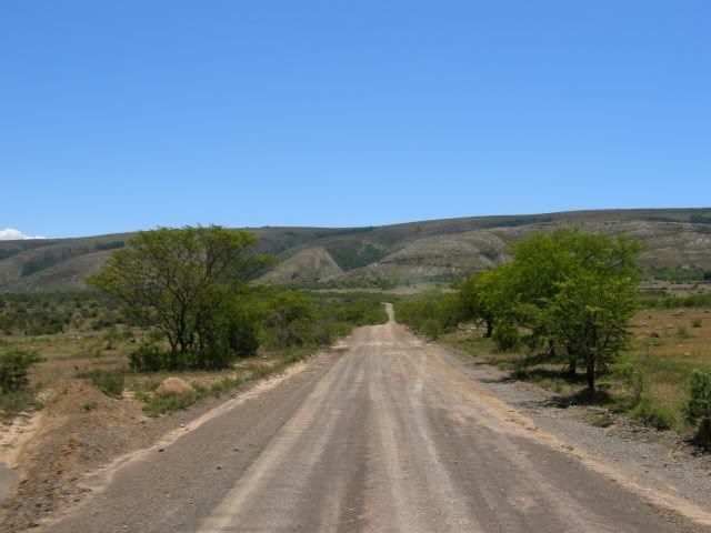
After so much tar riding yesterday it was great to start the day like this:

P1060064.jpg


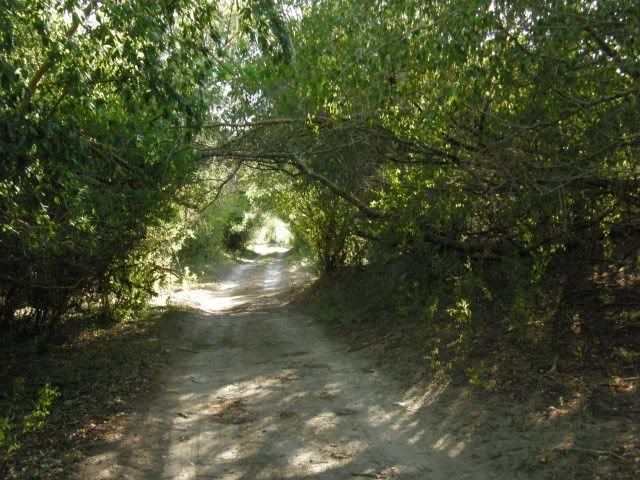
Early morning, fresh air, riding along the foothills of the Zuurberg mountains.
cool.gif


P1060067.jpg


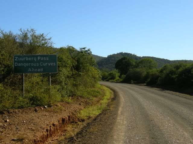
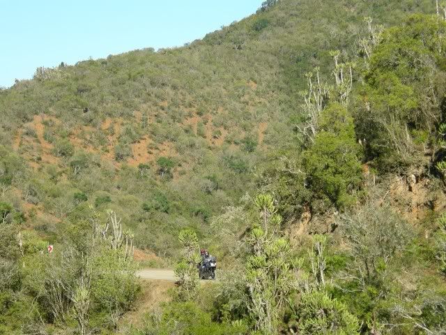
Lying in the north western corner of the Sundays River Valley, Zuurberg lies at the foot of the mountain of the same name. The historic Zuurberg Pass, almost entirely surrounded by the Greater Addo Elephant National Park, is a narrow cutting through the Zuurberg Mountains, built in the 1850s and the original main route into the hinterland via which today you can also reach the Karoo. Although the road over the Zuurberg is referred to as the Zuurberg Pass, it is in fact two passes and the first is called the Doringnek Pass.

P1060069.jpg


The V-Strom coming around the bend:

P1060071.jpg


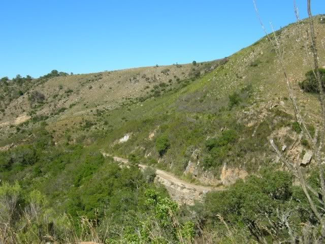
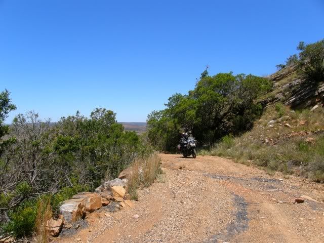
Just look at this! Doringnek Pass certainly is scenic.
cool.gif


P1060078.jpg


The condition of the road was a pleasure too.

P1060081.jpg


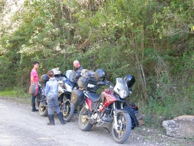
A quick stop to adjust the pannier straps. It was still early but it was extremely hot already. Any shade was welcome.

P1060086.jpg


Zuurberg Pass has some interesting early history: Following the re-establishment of British authority at the Cape in 1806, the British found themselves increasingly drawn into the conflict between the indigenous peoples and the Boers. By 1810, the major confrontation was with the Xhosa on the Eastern Frontier.

There was a Commando from Graaff-Reinet, led by the Landdrost Anders Stockenström, stationed north of the Zuurberg to protect Bruintjeshoogte and Graaff-Reinet against Xhosa intrusions from the south and east. Colonel John Graham (tasked to clear the Zuurveld of the Xhosa) concluded the major Xhosa force was concentrated in Addo and summoned Stockenström to bring his force across the Zuurberg.

Stockenström responded with about forty of his men, who left their camp at sunrise on December 28, 1811 to travel south over the Zuurberg. Near the peak of the Zuurberg Stockenström's party encountered a group of Xhosa and a battle began and continued for a time, but it ended with a surprise attack on the Landdrost and his men. Stockenström and about a dozen others of his force were killed. This was in the first few days of the Fourth Frontier War (1811-12).

For those into history there is a good article about the massacre at Zuurberg by Keith Meintjies at the following link:  https://www.eggsa.org/articles/Zuurberg_intro.htm

P1060088.jpg


The Zuurberg Pass road was in a state not a pleasure to ride. Rocky and full of corrugations. Smidty especially was fighting the front wheel of the Strom all the way as he has road tyres on. Exhausting work in the heat. We were very very happy to see Ann's Villa!
biggrin.gif
Only to find that they have no cool drinks and only hot beer
banghe10.gif
The heat was intense by now so we bought the hot beer and a tray of ice out of their fridge. Hopefully the beer wouldn't take too long to get cold.

P1060091.jpg


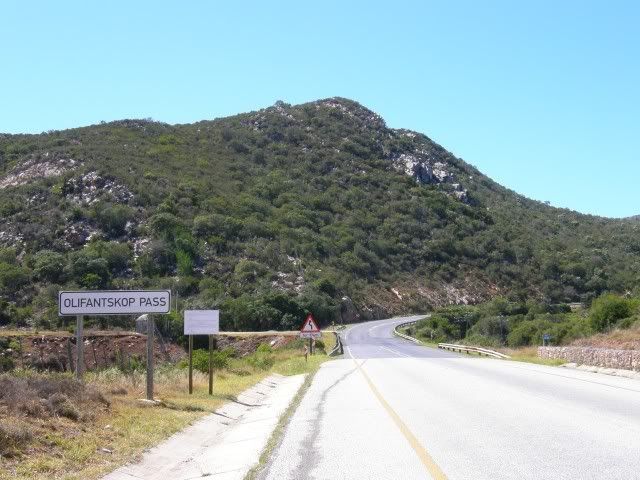
These days people traveling between Port Elizabeth and Cradock crosses over the Zuurberg Mountains at speed via the Olifants Kop Pass (R32). Much quicker and easier than in the olden days, but not as scenic.

P1060096.jpg


Just over the Olifant Kop Pass we turned East once more and headed for Alicedale. There are lots of roadworks on this road it's terribly corrugated. So much so in fact that it snapped Smidty's pannier bracket
undecided.gif
This is a problem. There is no workshop in a small town like Alicedale. Or so we thought
icon_mrgreen.gif


We were directed to the house of Mr Simphiwe Hana. Smidty was sceptical to say the least
evil610.gif


Smidty: "Hallo. Is this a workshop?"
icon_scratch.gif


Mr Hana: "Yes it is!"
biggrin.gif


Smidty: "Uhm, can you weld?"
patch.gif


Mr Hana: "Yes Sir!"
biggrin.gif


Smidty: "Well, can you do it here in the street? Because I am not coming out of the shade!"
Mr Hana: "Yes Sir!"
biggrin.gif


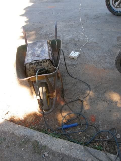
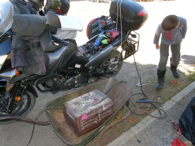
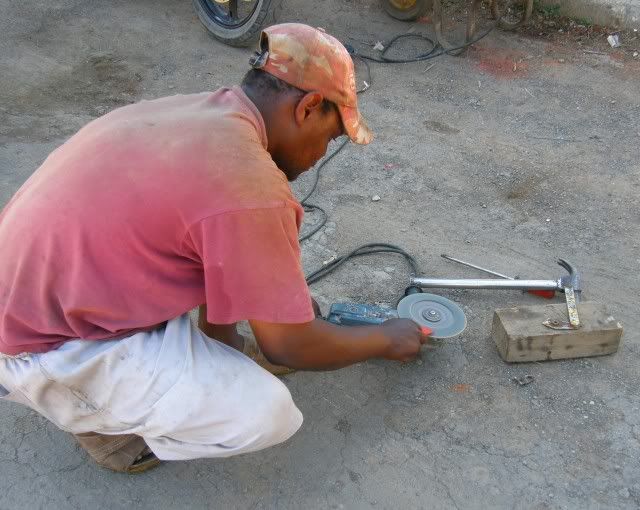
In a flash Simphiwe had six electrical cords connected all the way from his house across the street. A welder was brought with a wheelbarrow and a piece of scrap metal was being grinded to size to fix the pannier bracket.
biggrin.gif


P1060098.jpg


P1060099.jpg


Simphiwe was also friendly enough to sharpen our blunt axe!
biggrin.gif


P1060102.jpg


If you're ever in Alicedale support Mr Hana. He also fixes tyres
biggrin.gif


By now it was in the heat of the day and it was seriously hot! Seriously. I soaked my whole jacket and put it back on. The others thought I was daft but I know from experience it works. I also filled my Camelbak with ice and water. And so we set off. We were seriously behind schedule.

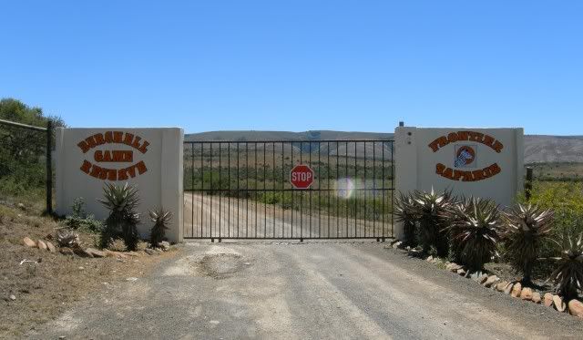
The gravel road took us to a familiar name - The Burchell Game Reserve. So I come across Mr Burchell again.
cool.gif
I don't know if he actually travelled here or if the reserve is just named after the Burchell Zebra.

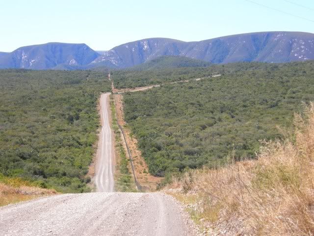
P1060105.jpg


This little piece of road turned out to be the surprise of the day! I enjoyed this section of today's ride a lot! I was nice and cold in my wet jacket sucking on my ice water, but I could feel on my fingers (I have fingerless gloves) that the air was very hot, almost to the point of burning my fingers. I was riding with the visor down to keep the heat out of my face.

P1060107.jpg


As it turns out this road has a little pass going over that mountain
biggrin.gif
An unknown pass added to todays riding - score!
biggrin.gif


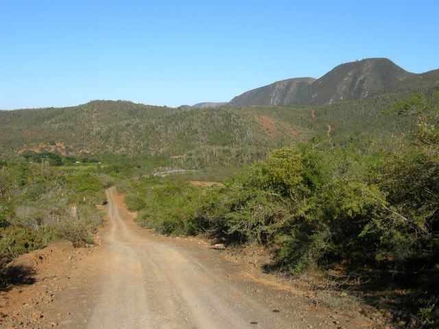
P1060108.jpg


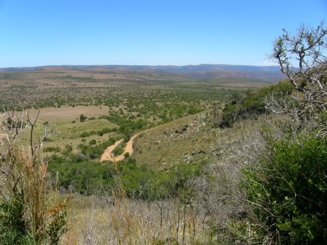
This really is a proper pass with some drystone walls and everything. Pity it has no name. It's better than some passes we did on this trip that does have names. The road surface was a little loose, but not too hectic. My knobbly tyres made it hardly noticeable.

P1060111.jpg


This road exits near Riebeeck East. I stopped at the "T" and waited for Smidty to catch up. When he stopped next to me and opened his visor I instantly knew he was in trouble.

Unbeknownst to me, he had been wrestling his bike on the loose all the way behind me because of the road tyres. All this while they were wearing black clothes with little water in what we later found out was 40 degree plus heat! By the time he stopped here he was dehydrated and showed symptoms of heat exhaustion.

We immediately headed into Riebeeck East and found some shade. Luckily I had some rehydrate in my medical kit and he gulped it down. I just realized once again that a person can land in trouble very very quickly. What impressed me was that Smidty never lost it. He didn't moan nor gave up. It was clear that this trip was different from what he thought he signed up for. He had the wrong tyres and was riding in conditions he was not used to. But even now, exhausted, hot and somewhat disorientated at first, he never said that's it - we're going home. He might have thought about it, but he never said it. Respect.

P1060113.jpg


We still had 100's of km's ahead today including Katberg Pass. This was not feasible. To continue now would be madness. I had a look at the map and saw the solution: Grahamstown.

I knew that there were quite a few Wild Dog Forum Members in Grahamstown and although I've never been there I also knew that it was a bigger town. I phoned my friend Operator and asked him to alert the Grahamstown Dogs that we are on our way. We are 40kms out and would need some advise on where to stay etc. Maybe we could even score a cold beer.
icon_mrgreen.gif


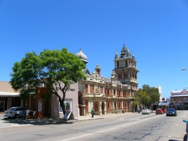
Riebeek East's church:

P1060116.jpg


A quick hop on tar and we rode into Grahamstown. Stopping in town I found that Operator had messaged me Edgy's number and so I phoned:


TR: "Howzit Edgy! Were in town and would like to know where we can find a camping spot with a river, some grass and shade. And maybe we can even have a beer later?"
mwink.gif


Edgy: "Uhm, there really are no good spots, but I have a B&B with a pool and braai facilities you can use. The address is..."


shocked.gif

Can you believe this? Being part of a community like this rocks!!!
headba10.gif


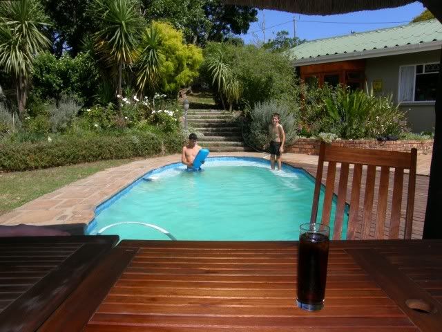
Barely an hour after being in complete misery this was the scene we were staring at:
cool.gif


P1060117.jpg


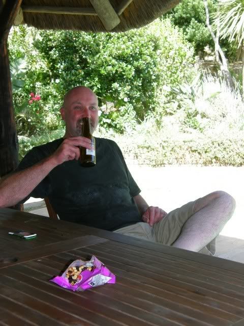
Smidty was feeling a WHOLE LOT better!
evil610.gif


P1060122.jpg


I took some pictures with my cell phone and messaged my wife at home
cool.gif


*Phone rings*

TR: "Hello hun! So what do you think of the great spot were at?"
biggrin.gif


Mrs: "Looks great! Is that a B&B?"

TR: "Yes!"
biggrin.gif


Mrs: "So how come when I ride with we're always staying in a tent??"

TR: Uhm...
patch.gif


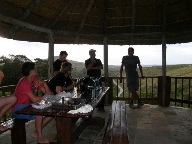
Soon Edgy himself arrived and organized a quick get together with the other Grahamstown Wild Dogs
occasi11.gif


P1060125.jpg


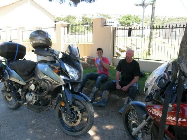
It was great to see you Big Dom, Throttle Jockey, Airborne and of course Edgy. How can we ever express our gratitude? I hope we can repay your hospitality one day.
icon_thumleft.gif


We rode 180km today and 4 passes (including the "unknown" pass). We were way off course and behind schedule, but that is tomorrow's problem. Riding a pre-planned route is overrated anyway. From now on we "roam free."
cool.gif
 
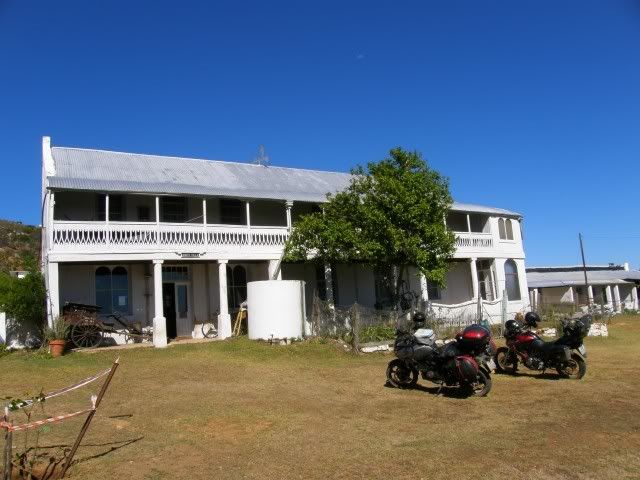
Inside the "shop" at Ann's Villa

b7.jpg

b6.jpg


The Riebeeck East municipality, not as impressive as the church

b8.jpg


And a big thank you to Trailrider who saved the day.

Edgy you and the Grahamstown dogs are really good people, thanks for your hospitality.
I hope that we can do the same for you guys one day.


Trailrider with his new girlfriend.


b9.jpg

 
Great having you guys here! I will keep your kit that was left behind until someone heads in your direction........the cat you can have as well!
 
TR aren't you going to tell the story about 2stroke Dan?   :pot:
 
What story?
ino.gif


That's Big Dom's story :biggrin:

edgy said:
Great having you guys here! I will keep your kit that was left behind until someone heads in your direction........the cat you can have as well!

Thanks! Bakkie said he'll pick up some time :thumleft:
 
Top