Osadabwa
Race Dog
Question: What’s better than a weekend day trip in Kenya?
Answer: A weekday trip!
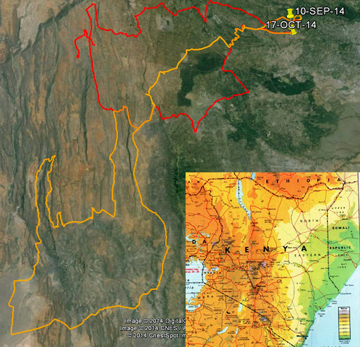
King Louis and I have flexible schedules and decided over a 4th of July bonfire to make use of that fact by embarking on a Friday motorbike ride. I got on Google Earth and plotted out a number of good options south of Suswa where we did our last trip in May.
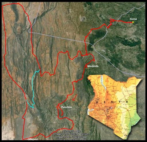
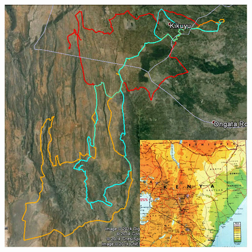
Above: The trip map – from Loresho to Ngong, down the hills and back around
Turns out for bikes there’s a brilliant little track from our neighbourhood to Ngong following disused old tar roads, farm tracks and paths that completely avoids the ugliness and traffic I normally associate with crossing to that side of town. Considering how near to Nairobi we are, it was a surprisingly pleasant way to get going, once we finally got going that is. King Louis had ignored my well-intentioned entreaties to maintain sobriety in advance of our ride and awoke heavy of head, swollen of liver and behind schedule, so we had some catching up to do.
The Ngong Hills, well known thanks to Karen Blixen’s account of her farm in Out of Africa, sit right on the edge of the Great Rift Valley and provide a green, breezy counterbalance to the Rift’s hot dustiness. In the past decade or so, someone has taken advantage of the breeziness to install a few wind turbines there, which King Louis and I inspected before setting out.
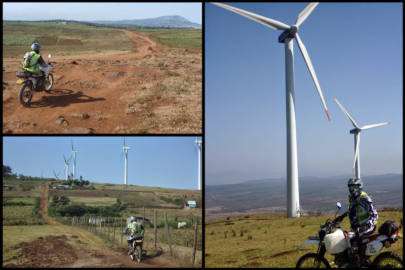
Above: Approaching the Ngong Hills Wind Farm
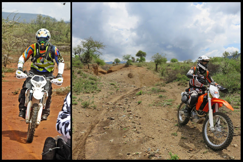
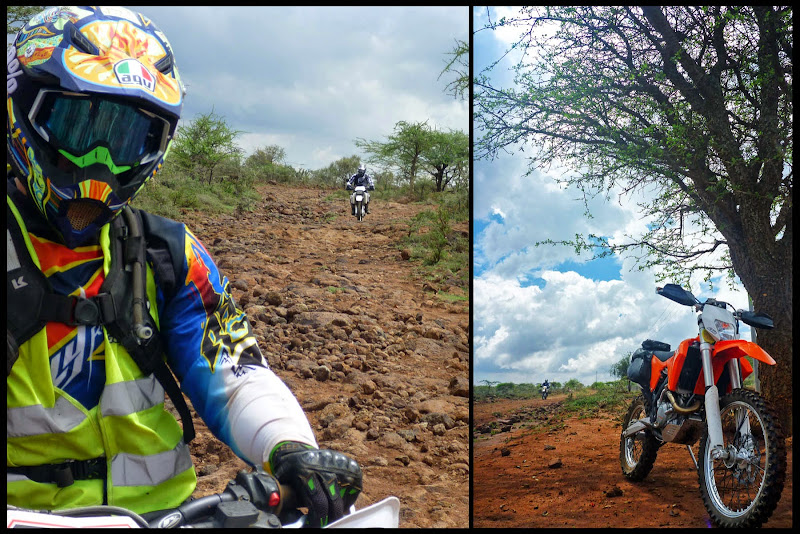
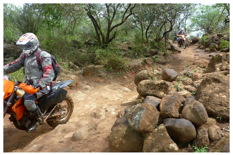
I’d confirmed with bikers far more skilled than I that there is a track down to the valley just near the wind farm. “Track” was an overstatement in places and there were some very technical areas of loose rocks varying in size from baby head to hippo skull. I made good use of my newly installed bash plate on a couple of occasions, and struggled to keep my balance, waddling along with my feet as outriggers, forearms pumped and screaming.
https://youtu.be/QYstLOMQNgI
Above: Video link: descent to the valley
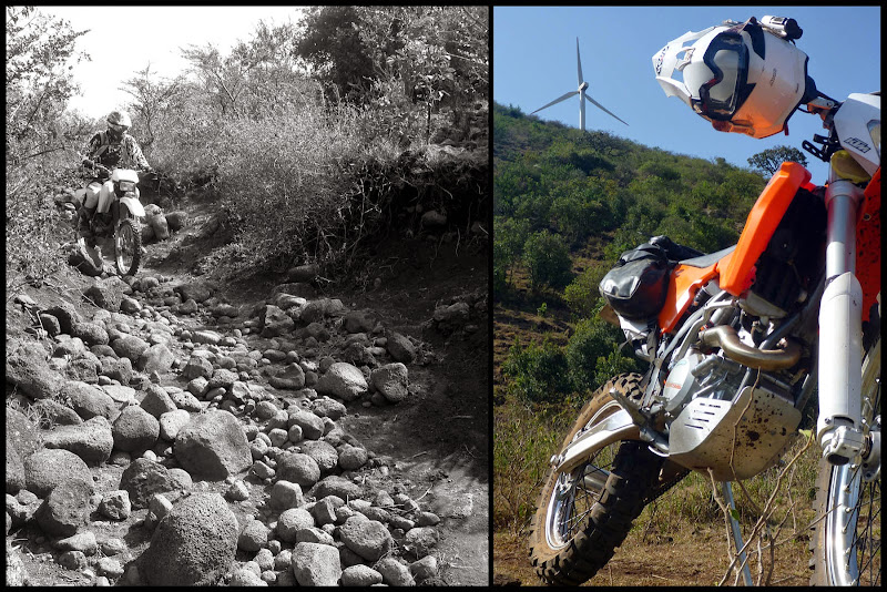
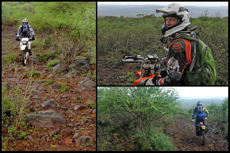
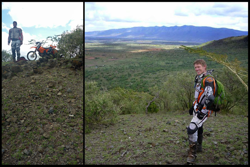
Above: King Louis negotiates the boulders, a KTM just the other side of the Ngong Hills
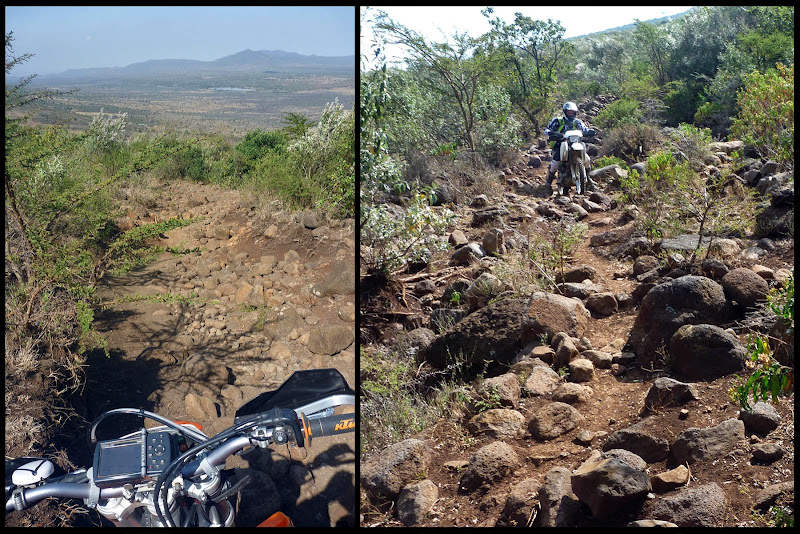
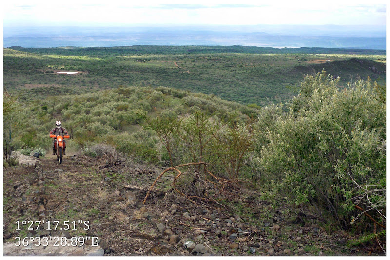
Above: Rocks and more rocks, the descent continues
King Louis was feeling the full weight of his Nimitz-class XR400 and its mega-fuel tank. By the time we reached the bottom, he’d dropped her no fewer than three times, once pinning himself under her bulk and another time toppling her downhill at an angle he was unable to correct alone. I found him on his butt in the dust, finger on the tank’s breather hose to keep fuel from spilling out like the proverbial Little Dutch Boy plugging the dyke. So, by the time we reached the bottom, we were knackered and the clock had already crossed over 11:00 AM.
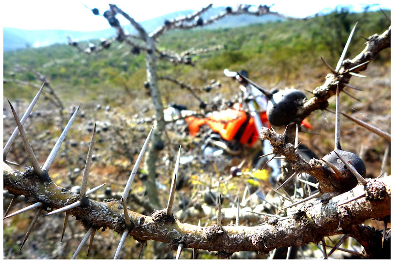
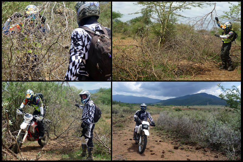
Above: And there were thorns too
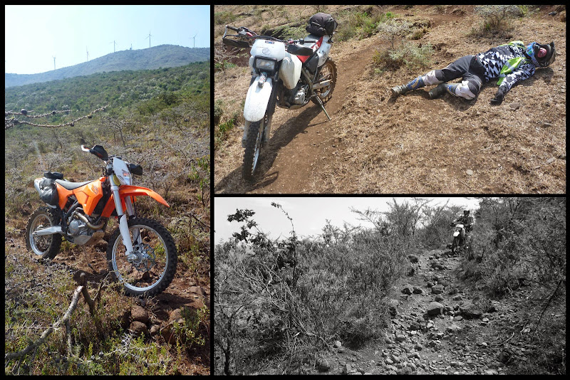
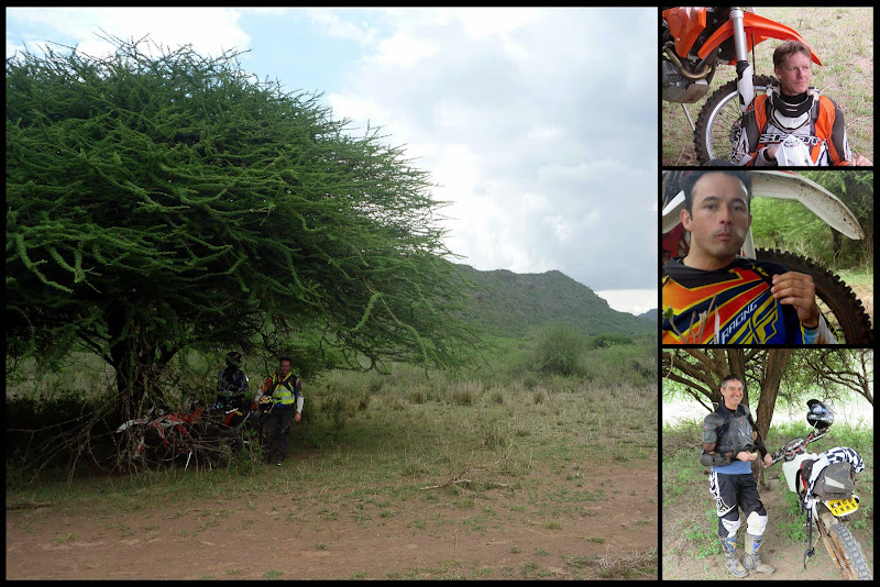
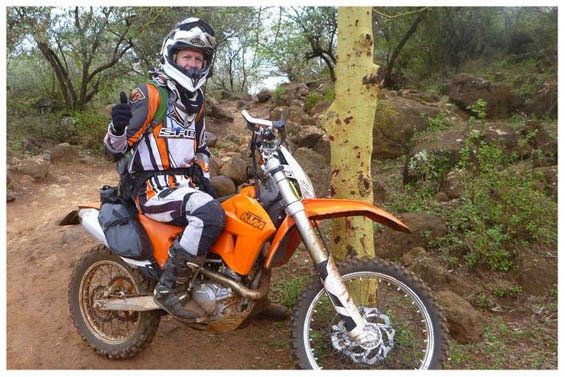
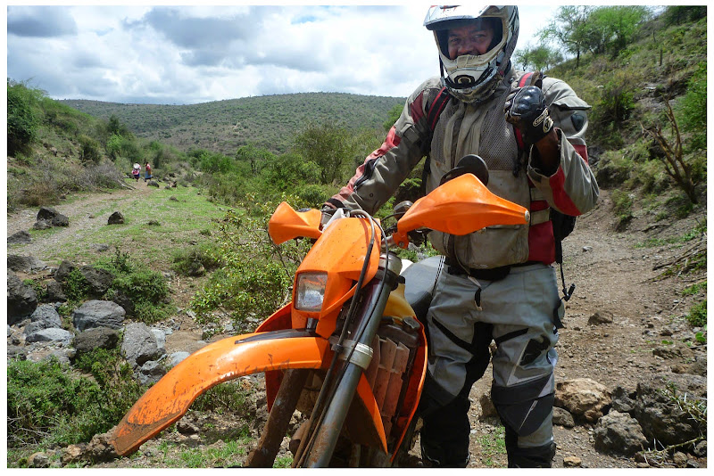
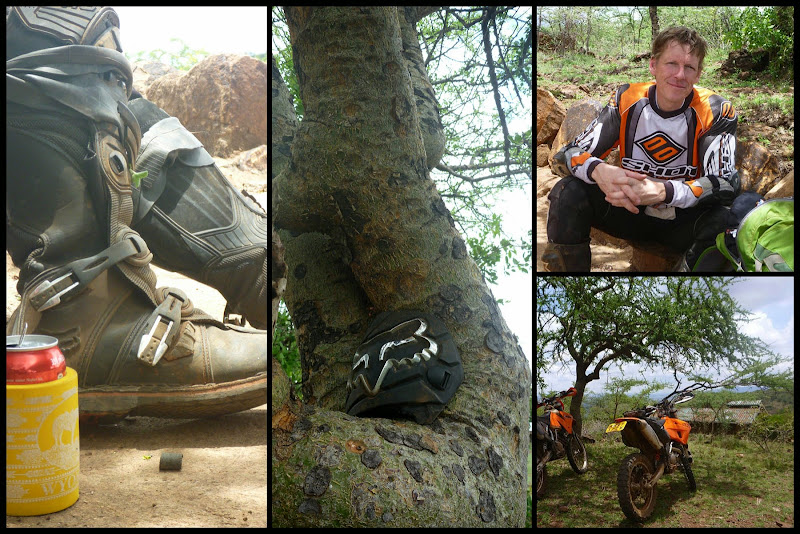
Above: Still on the Ngong hills, King Louis takes a breather
At last, we reached the valley floor and were rewarded with a solid five minutes of quick, mind clearing riding before Louis announced he had a puncture. Both of us had gone out with slow leaks, so we knew we were playing with fire but we hoped the Slime we’d put in the tubes would do the trick. It didn’t, but Louis had brought a backup plan in the form of that fix-a-flat mousse stuff you can use on your car. Eureka! It worked!
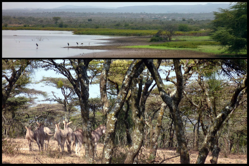
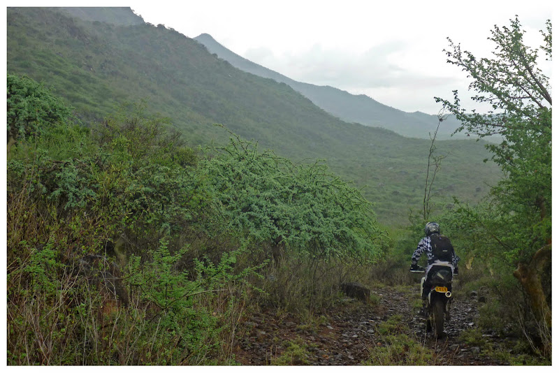
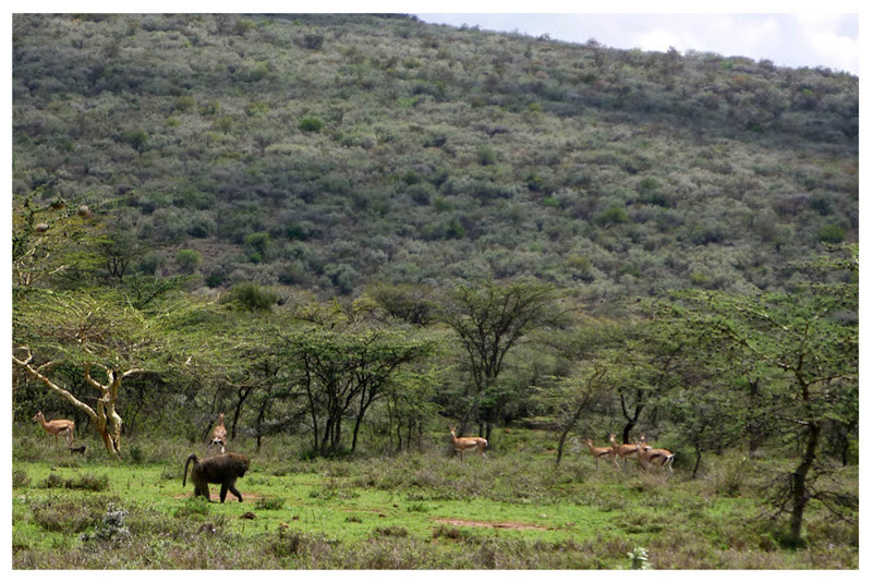
Above: The bottom of the Hills – a reservoir and some donkeys in the trees
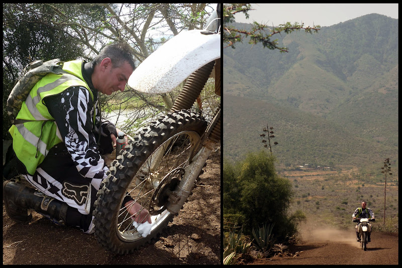
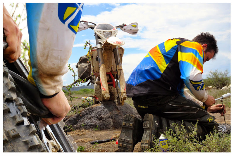
Above: KL and his fix-a-flat, spinning the wheels a bit to spread it around
With all tires inflated, we set off again. The track was much better: dry and dusty, stoney but not impossible. No reason to fall down here, but I did. I was looking over my shoulder to see if Louis was okay and managed to dump the bike hard on a flat stone, shaving off some of the newly installed 13L fuel tank and filing away a bit of the left side engine cover which later began weeping engine oil. I was no worse for wear, and was happy I’d installed proper hand guards.
For fun, I swapped bikes with Louis to let him see how the other half live. It was an experience, jumping back on an old XR400. I was surprised how unsure it made me feel in some situations, and how solid and firm she was in others. An XR is still a wonderful bike, but now that I’ve tasted what the 21st Century has to offer, I’ll not likely be going back.
https://youtu.be/KmhONUzHw58
Above: Video Link: A few minutes back on the XR400
While we were playing hide and seek with the trail, Louis apparently made a point of running over every thorn in the valley. Within moments of retaking ownership of my lovely orange steed, I was feeling the stones a bit more forcefully than usual on the front end. Attempts to inflate the tube and let the Slime do its magic were useless. Taking off the tyre, I found no fewer than 5 thorns the size of toothpicks that had to be gouged out before I could install my spare tube. We took the opportunity to have a bit of lunch, and didn’t get back on the trail until after 1:30.
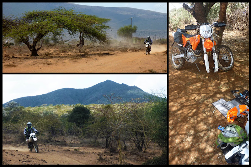
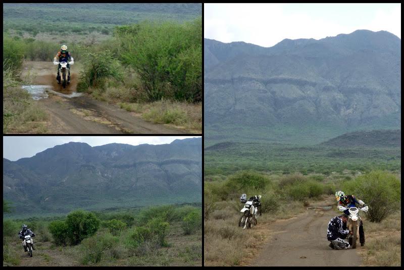
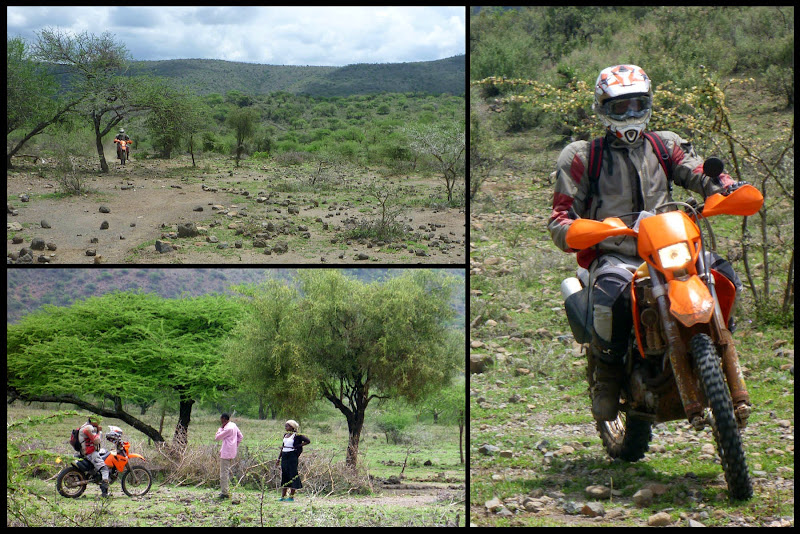
Above: Tracks and flats
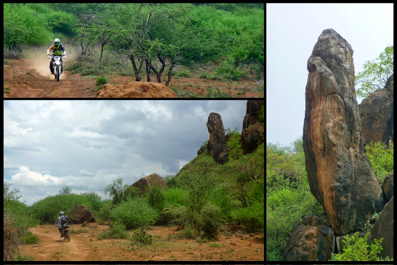
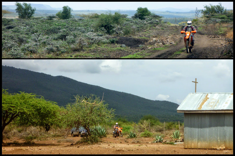
There was brilliant riding from the puncture point to the Magadi tarmac, but I was too busy enjoying it to mess about with the camera and it was getting late already. We pulled into Oltepesi for a warm Coke and didn’t aim back toward home until around 3:00 PM. Since I was leading, I took us back onto the dirt, but promised not to do any exploring. With Google Earth, I’d identified the turquoise track visible in the map above which would have shaved off many a kilometre, but given the time and our luck with tires, we decided to stick to big dirt instead and spent the rest of the afternoon blasting in 4th, 5th and 6th toward Suswa and around back to Ngong, loving the funky desert scenery.
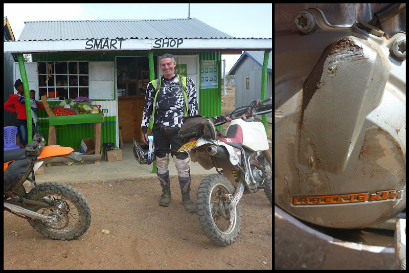
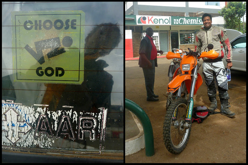
Above: Louis at the “Smart Shop” in Oltepesi, my leaking side cover
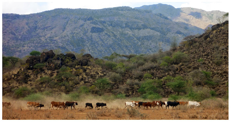
Above: Cows determined to find something… water maybe?
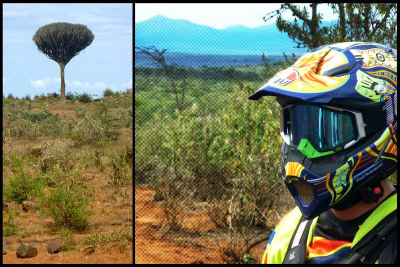
The road was ripe for ripping: wide double track, mostly sand and dust, bendy but not extreme. The plumes of dust could have been seen from space. Though not my favourite type of track, I wasn’t complaining since the scenery and the throaty groan of the bike lurching forward was keeping me entertained. At one point, among an outcropping of black volcanic rubble, the heat was noticeably higher and I thought I was hallucinating when I saw the plant in the next pic. They were all over the place, like wads of a giant’s chewing gum, discarded and melting on the stones. A virtual high-five to anybody that can identify the things for me.
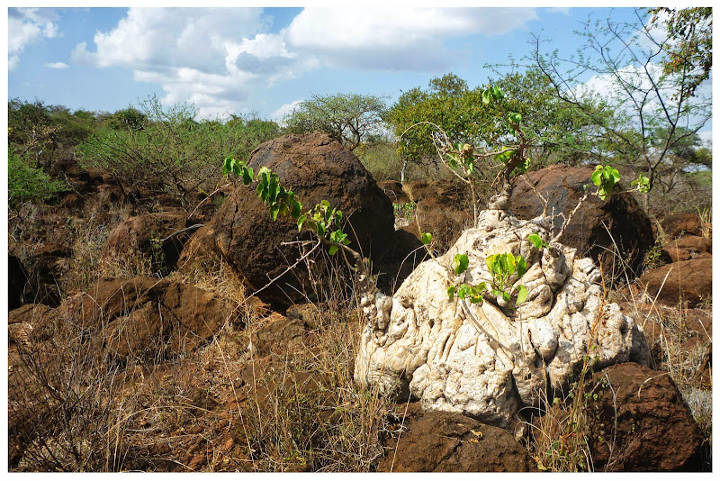
Above: World’s oddest desert plant
https://youtu.be/wHZrKMHETW4
Above: Video link: Speedy dirt, cows, goats, and desert plants
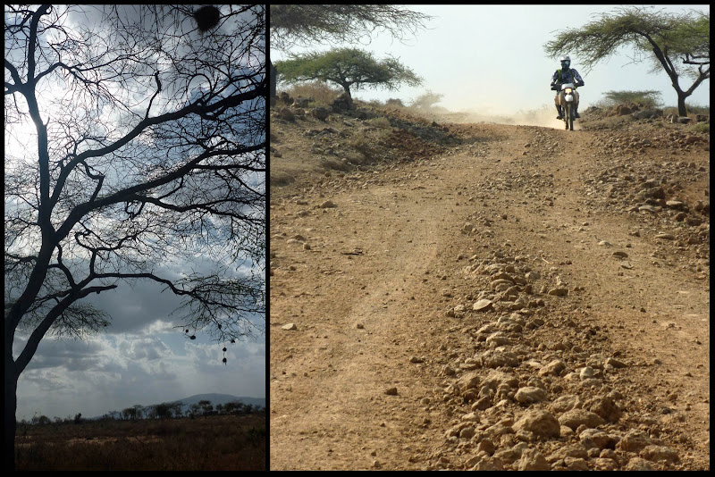
Above: Afternoon on the big road
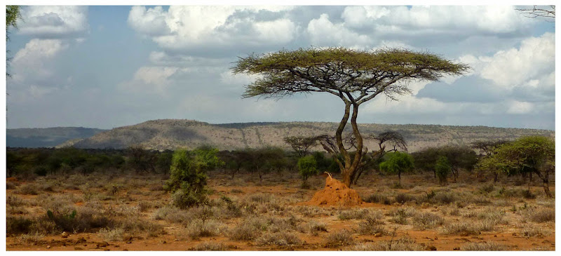
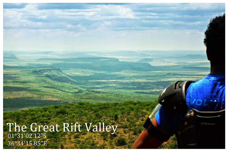
Above: The Great Rift Valley from inside
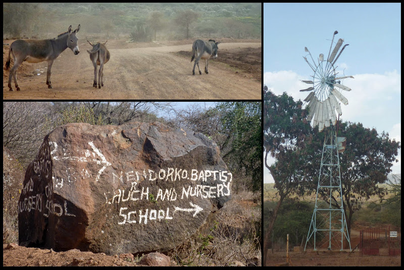
Above: Donkeys, Baptist signposts and less successful windmills
All told, we put in just over 220 km (the very limit of my big tank), nearly all of it out in the dust, thorns and stones. It was a bit of everything, and we had a blast, possibly more so because it was Friday and most of our friends were at work. I think we might just have to make a habit of it in fact… though next time I’m riding with mousses!
Answer: A weekday trip!
King Louis and I have flexible schedules and decided over a 4th of July bonfire to make use of that fact by embarking on a Friday motorbike ride. I got on Google Earth and plotted out a number of good options south of Suswa where we did our last trip in May.

Above: The trip map – from Loresho to Ngong, down the hills and back around
Turns out for bikes there’s a brilliant little track from our neighbourhood to Ngong following disused old tar roads, farm tracks and paths that completely avoids the ugliness and traffic I normally associate with crossing to that side of town. Considering how near to Nairobi we are, it was a surprisingly pleasant way to get going, once we finally got going that is. King Louis had ignored my well-intentioned entreaties to maintain sobriety in advance of our ride and awoke heavy of head, swollen of liver and behind schedule, so we had some catching up to do.
The Ngong Hills, well known thanks to Karen Blixen’s account of her farm in Out of Africa, sit right on the edge of the Great Rift Valley and provide a green, breezy counterbalance to the Rift’s hot dustiness. In the past decade or so, someone has taken advantage of the breeziness to install a few wind turbines there, which King Louis and I inspected before setting out.

Above: Approaching the Ngong Hills Wind Farm
I’d confirmed with bikers far more skilled than I that there is a track down to the valley just near the wind farm. “Track” was an overstatement in places and there were some very technical areas of loose rocks varying in size from baby head to hippo skull. I made good use of my newly installed bash plate on a couple of occasions, and struggled to keep my balance, waddling along with my feet as outriggers, forearms pumped and screaming.
https://youtu.be/QYstLOMQNgI
Above: Video link: descent to the valley

Above: King Louis negotiates the boulders, a KTM just the other side of the Ngong Hills

Above: Rocks and more rocks, the descent continues
King Louis was feeling the full weight of his Nimitz-class XR400 and its mega-fuel tank. By the time we reached the bottom, he’d dropped her no fewer than three times, once pinning himself under her bulk and another time toppling her downhill at an angle he was unable to correct alone. I found him on his butt in the dust, finger on the tank’s breather hose to keep fuel from spilling out like the proverbial Little Dutch Boy plugging the dyke. So, by the time we reached the bottom, we were knackered and the clock had already crossed over 11:00 AM.

Above: And there were thorns too

Above: Still on the Ngong hills, King Louis takes a breather
At last, we reached the valley floor and were rewarded with a solid five minutes of quick, mind clearing riding before Louis announced he had a puncture. Both of us had gone out with slow leaks, so we knew we were playing with fire but we hoped the Slime we’d put in the tubes would do the trick. It didn’t, but Louis had brought a backup plan in the form of that fix-a-flat mousse stuff you can use on your car. Eureka! It worked!

Above: The bottom of the Hills – a reservoir and some donkeys in the trees

Above: KL and his fix-a-flat, spinning the wheels a bit to spread it around
With all tires inflated, we set off again. The track was much better: dry and dusty, stoney but not impossible. No reason to fall down here, but I did. I was looking over my shoulder to see if Louis was okay and managed to dump the bike hard on a flat stone, shaving off some of the newly installed 13L fuel tank and filing away a bit of the left side engine cover which later began weeping engine oil. I was no worse for wear, and was happy I’d installed proper hand guards.
For fun, I swapped bikes with Louis to let him see how the other half live. It was an experience, jumping back on an old XR400. I was surprised how unsure it made me feel in some situations, and how solid and firm she was in others. An XR is still a wonderful bike, but now that I’ve tasted what the 21st Century has to offer, I’ll not likely be going back.
https://youtu.be/KmhONUzHw58
Above: Video Link: A few minutes back on the XR400
While we were playing hide and seek with the trail, Louis apparently made a point of running over every thorn in the valley. Within moments of retaking ownership of my lovely orange steed, I was feeling the stones a bit more forcefully than usual on the front end. Attempts to inflate the tube and let the Slime do its magic were useless. Taking off the tyre, I found no fewer than 5 thorns the size of toothpicks that had to be gouged out before I could install my spare tube. We took the opportunity to have a bit of lunch, and didn’t get back on the trail until after 1:30.

Above: Tracks and flats
There was brilliant riding from the puncture point to the Magadi tarmac, but I was too busy enjoying it to mess about with the camera and it was getting late already. We pulled into Oltepesi for a warm Coke and didn’t aim back toward home until around 3:00 PM. Since I was leading, I took us back onto the dirt, but promised not to do any exploring. With Google Earth, I’d identified the turquoise track visible in the map above which would have shaved off many a kilometre, but given the time and our luck with tires, we decided to stick to big dirt instead and spent the rest of the afternoon blasting in 4th, 5th and 6th toward Suswa and around back to Ngong, loving the funky desert scenery.

Above: Louis at the “Smart Shop” in Oltepesi, my leaking side cover

Above: Cows determined to find something… water maybe?
The road was ripe for ripping: wide double track, mostly sand and dust, bendy but not extreme. The plumes of dust could have been seen from space. Though not my favourite type of track, I wasn’t complaining since the scenery and the throaty groan of the bike lurching forward was keeping me entertained. At one point, among an outcropping of black volcanic rubble, the heat was noticeably higher and I thought I was hallucinating when I saw the plant in the next pic. They were all over the place, like wads of a giant’s chewing gum, discarded and melting on the stones. A virtual high-five to anybody that can identify the things for me.

Above: World’s oddest desert plant
https://youtu.be/wHZrKMHETW4
Above: Video link: Speedy dirt, cows, goats, and desert plants

Above: Afternoon on the big road

Above: The Great Rift Valley from inside

Above: Donkeys, Baptist signposts and less successful windmills
All told, we put in just over 220 km (the very limit of my big tank), nearly all of it out in the dust, thorns and stones. It was a bit of everything, and we had a blast, possibly more so because it was Friday and most of our friends were at work. I think we might just have to make a habit of it in fact… though next time I’m riding with mousses!


