RIDING the RIFT ~ East Africa 2011

This site may earn a commission from merchant affiliate links, including eBay, Amazon, and others.
Simply lovely. Reminds me of my own trip.
 
wolfman said:
Wonderful, glorious... and also sad and broken Africa: One of those stories that brings both a smile to the face and a tear to the eye.

Can't wait for the rest!

Couldn't agree with you more.

But great trip! You will remember this and talk about it for the rest of your lives, no matter what.
 
                                                                      UGANDA


KIBUYE (Rwanda) to RUHIJA (Uganda)
Day 12: Wednesday 21 December
Distance: 249 km
Time: 5.30 am – 5.30 pm


Hit the road before its light,
        Trying to catch an hour on the sun
.”

                                                Neil Young


IMGP1288.jpg


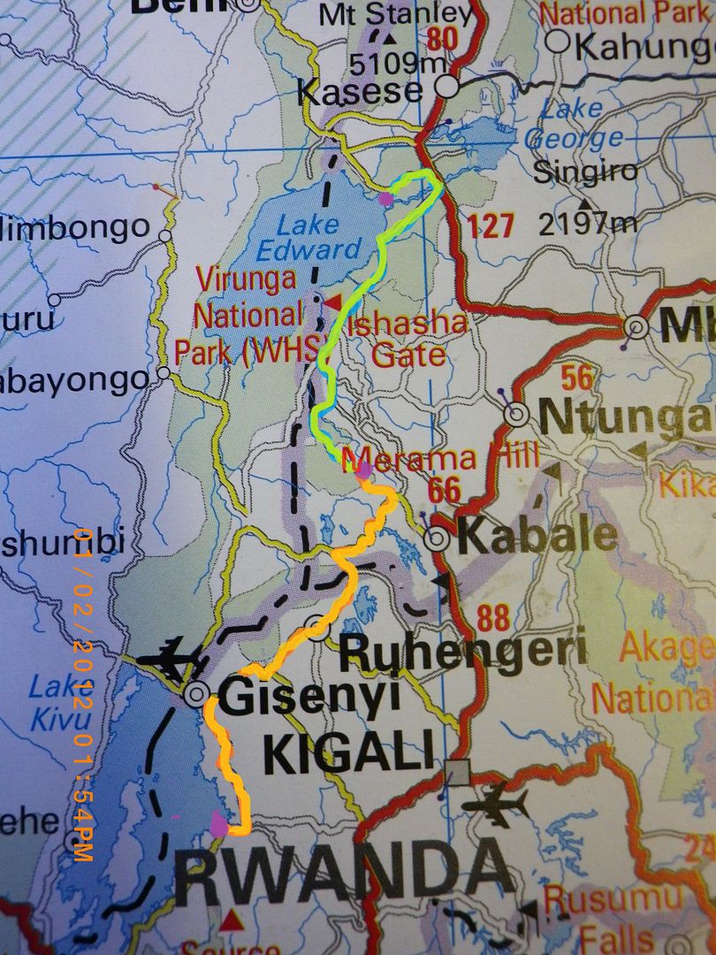
Map of Route ~ Kibuye to Ruhija (Uganda) to Queen Elizabeth National park


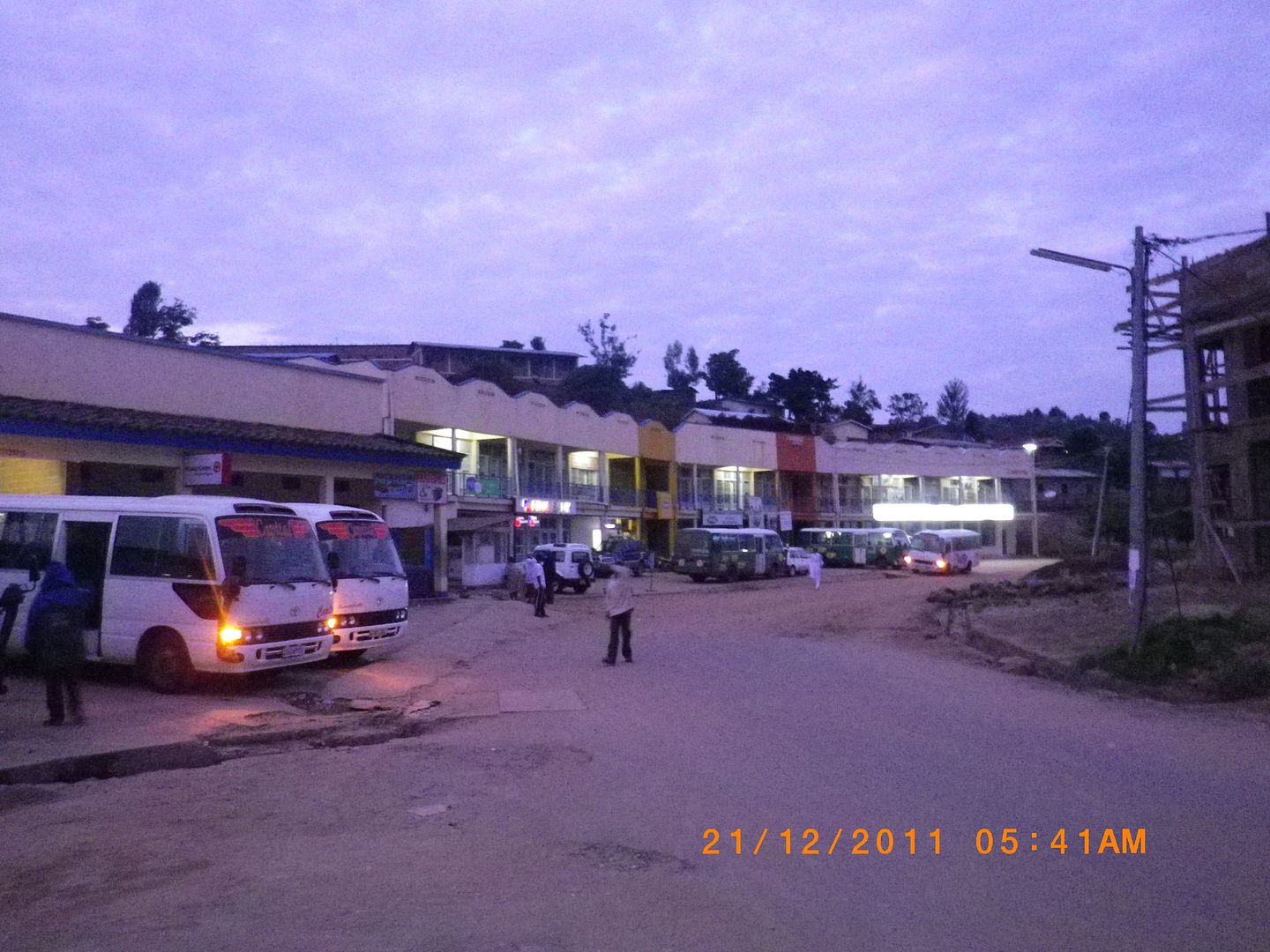
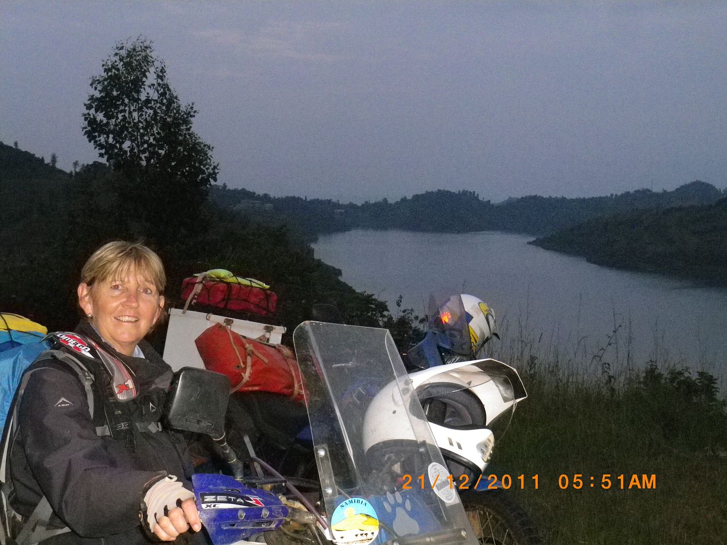
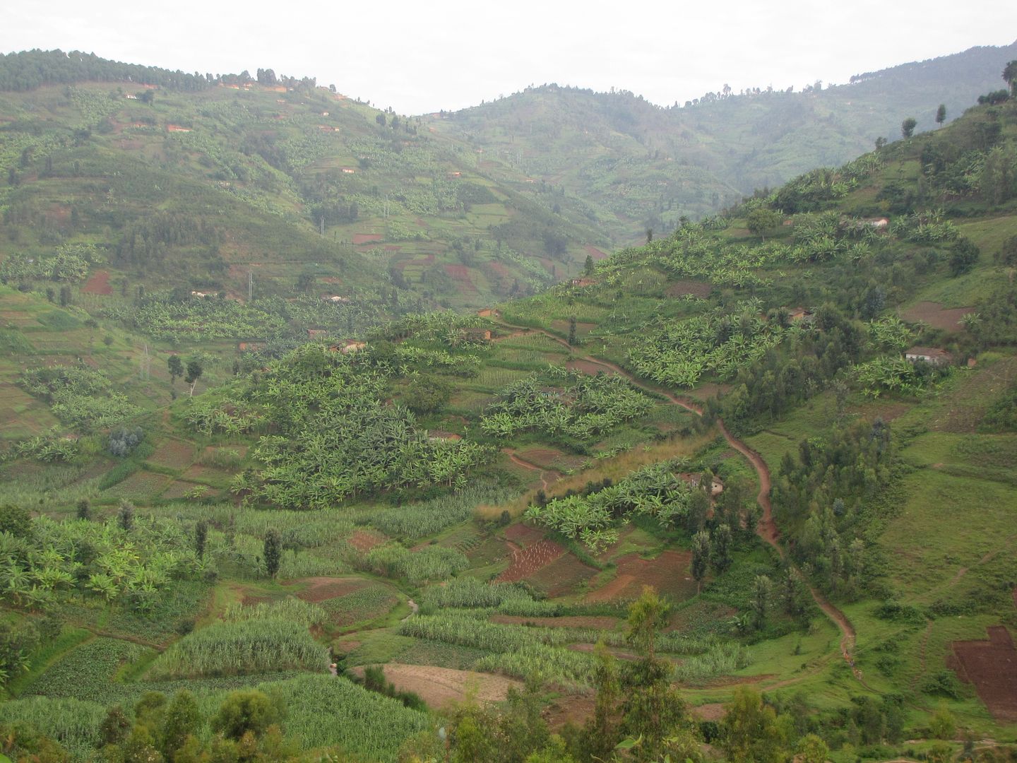
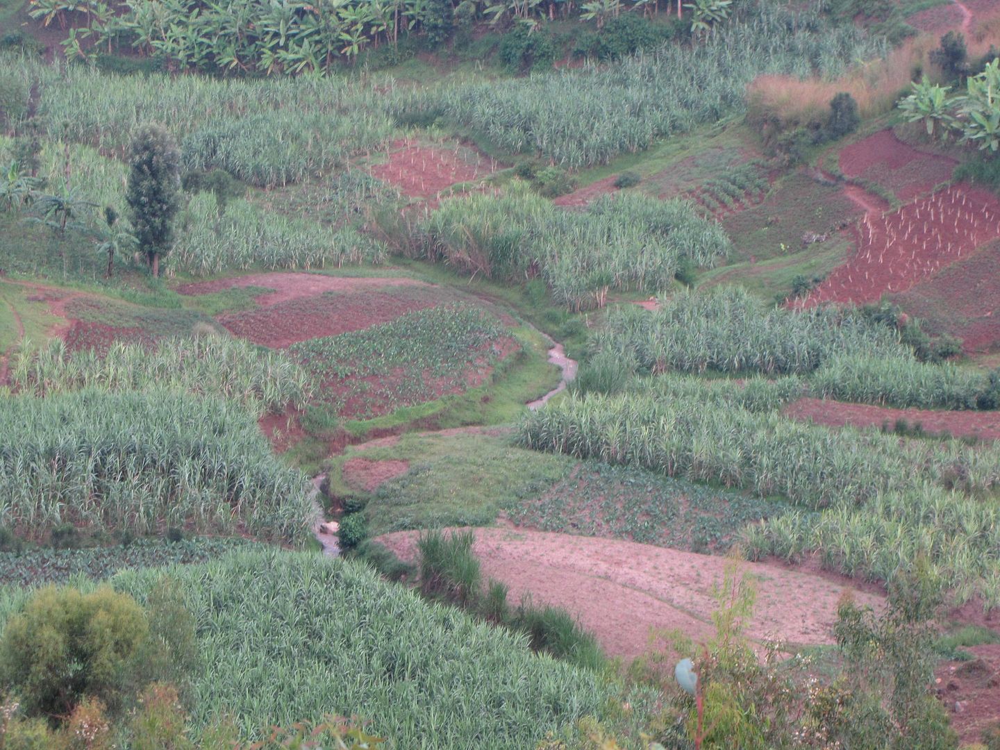
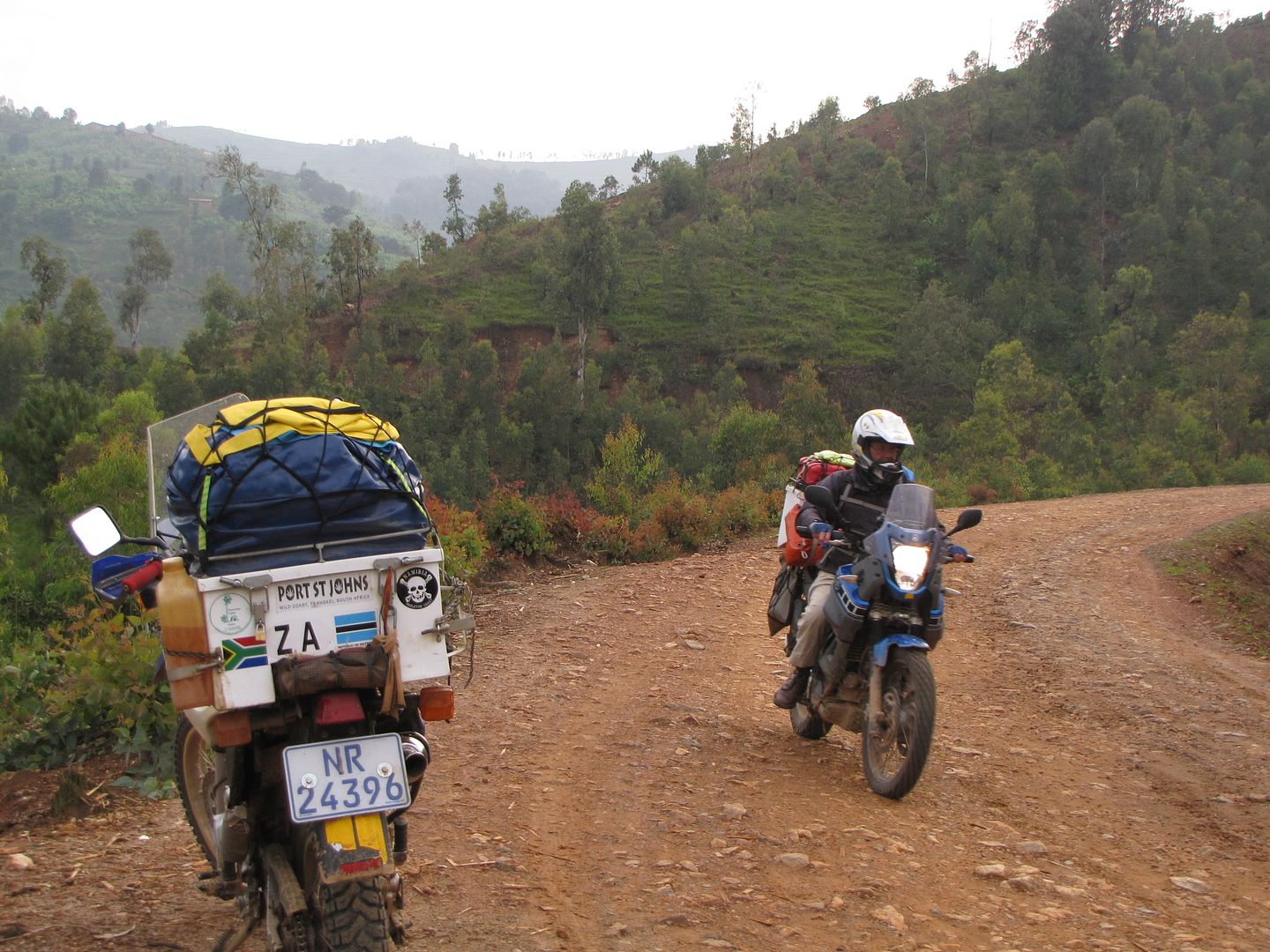
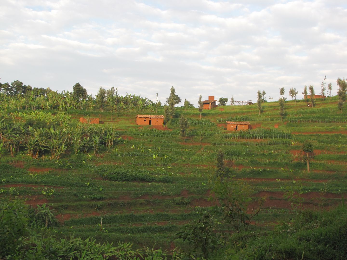
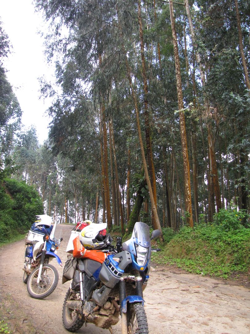
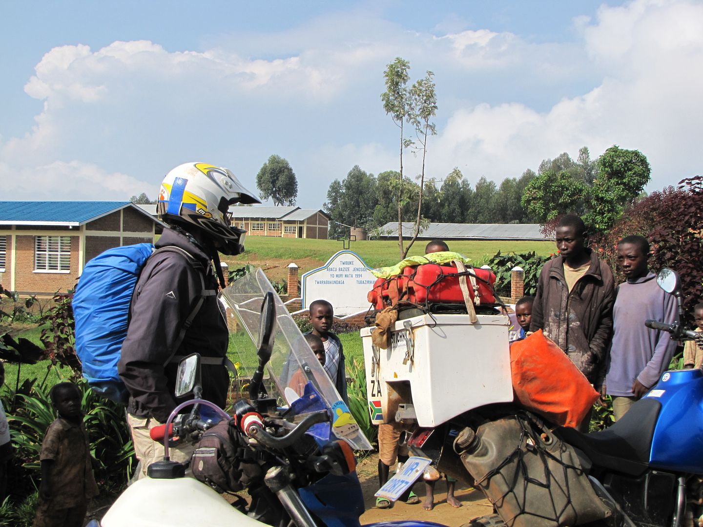
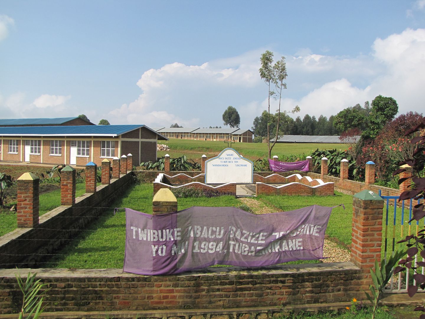
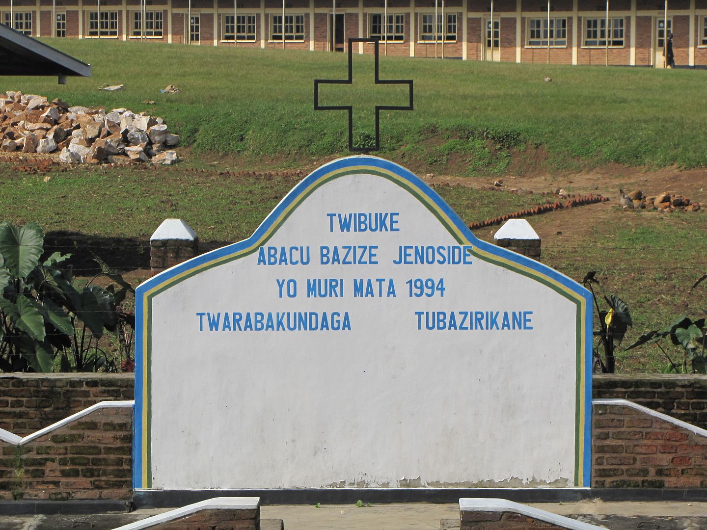
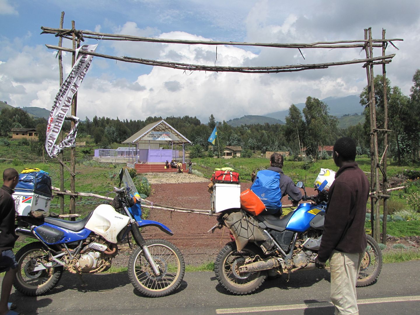
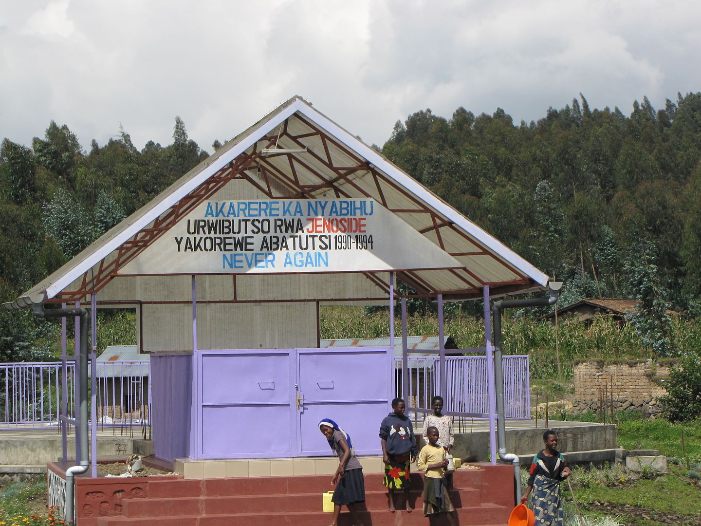
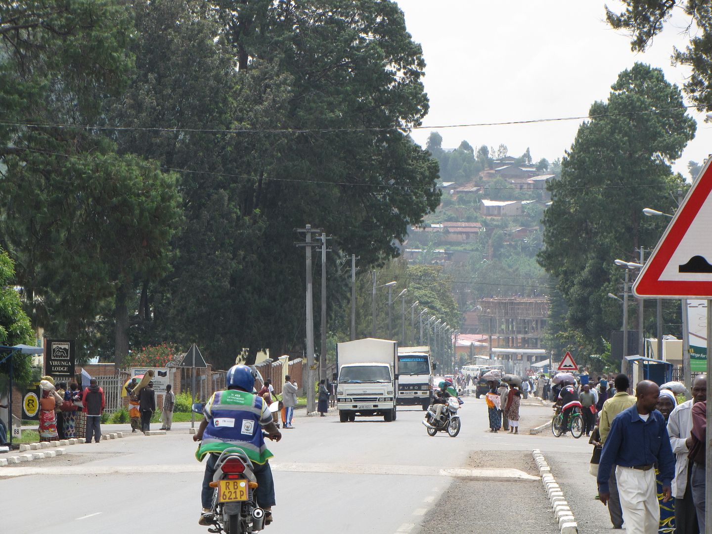
Feeling rested we left Kibuye before the sun could greet the day. We had a long day ahead of us which included a border crossing and any other unexpected surprises. The 94 km to Gisenyi was much the same as Mondays ride. It was just as windy with some stony patches thrown in but fortunately there wasn’t the mud we had anticipated........ the going was slow never the less. This section took us 4 hrs but included the stops at the Genocide Memorials.

IMGP0658.jpg


IMGP0661.jpg


IMGP0662.jpg


IMG_8111.jpg


IMG_8112.jpg


IMG_8113-1.jpg


IMG_8114.jpg


IMG_8119.jpg


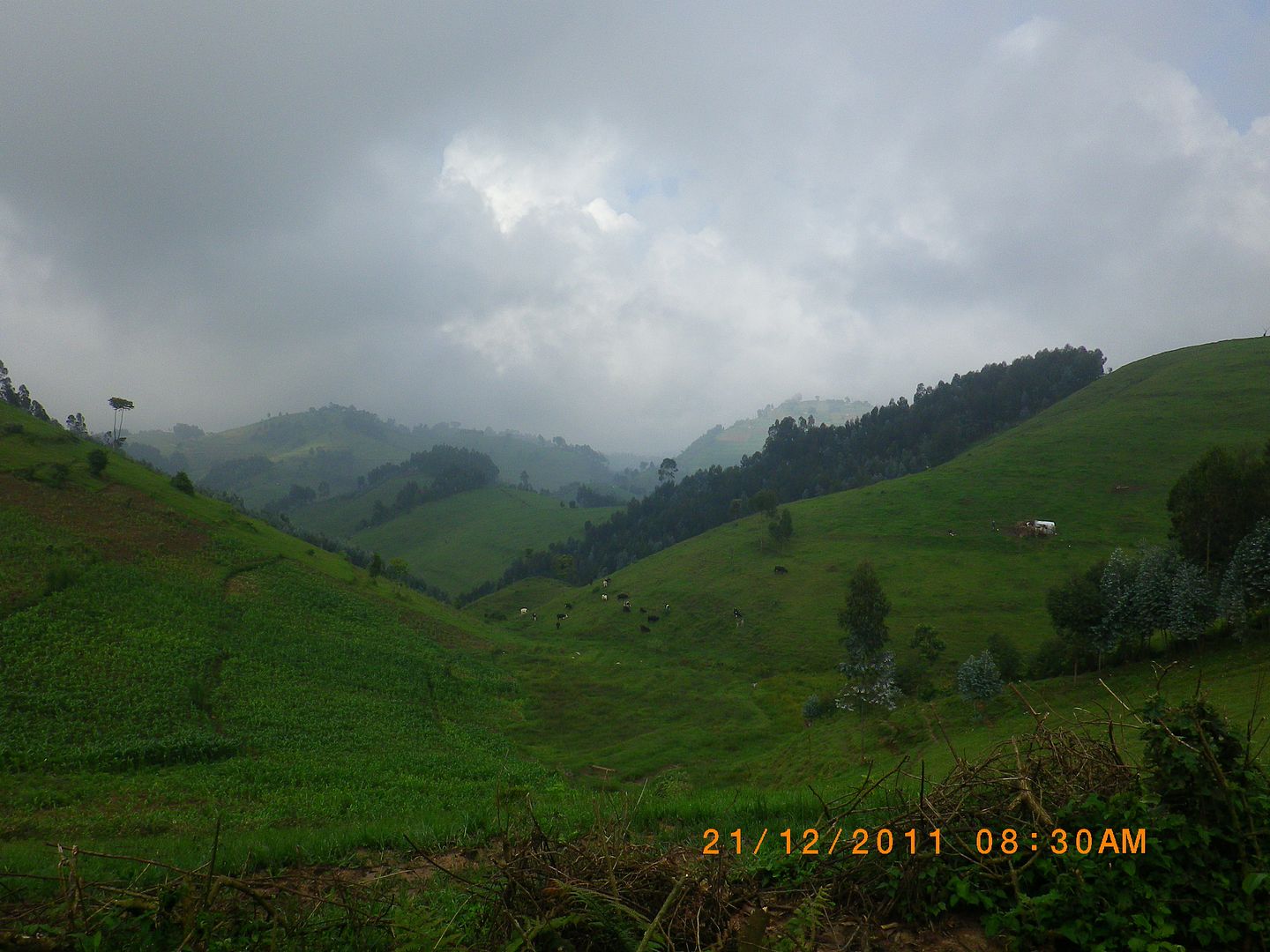
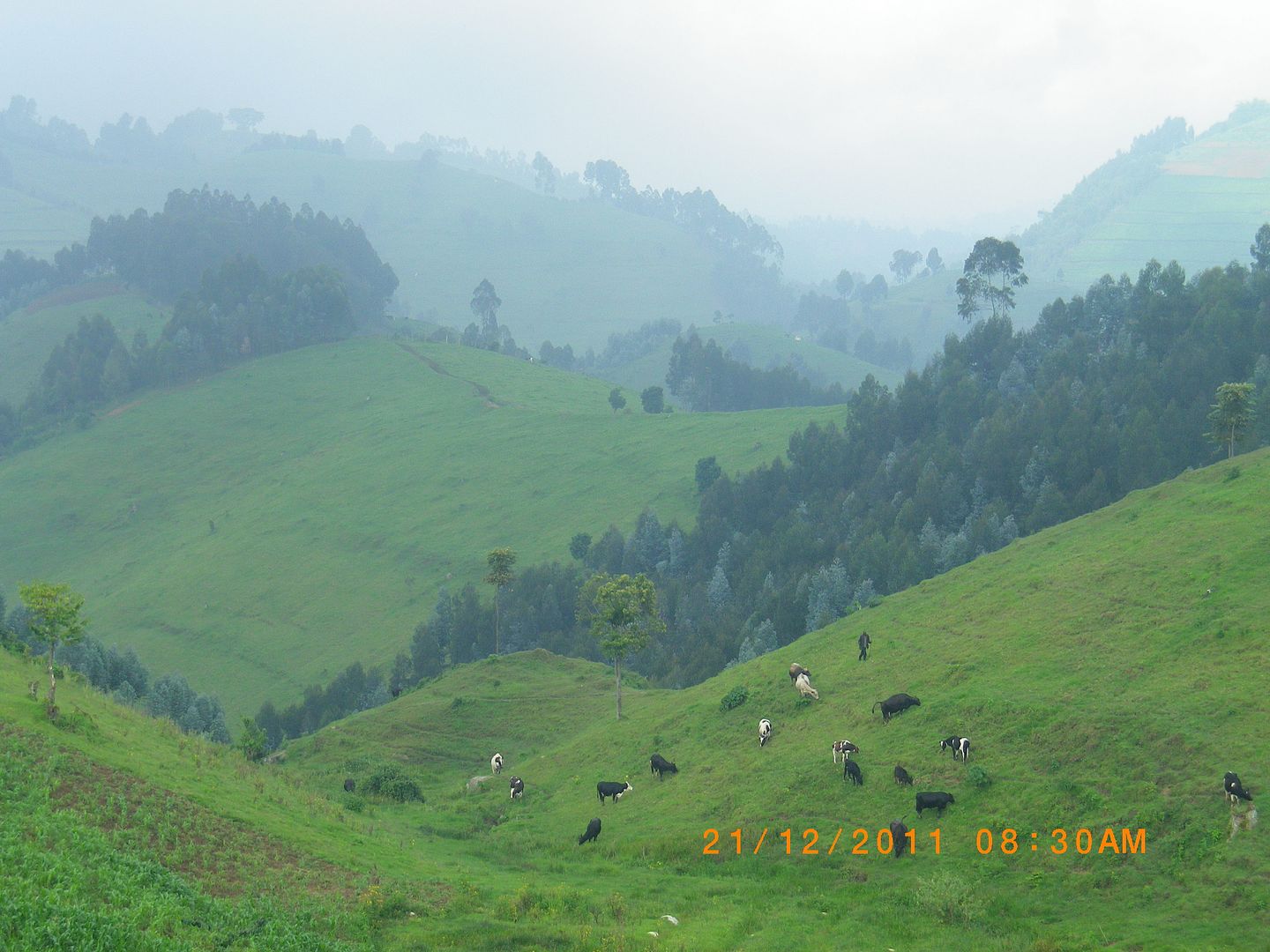
One section reminded me of the Natal Midlands back home with lush green pastures and dairy cows grazing with an early morning mist hanging around.

IMGP0663.jpg


IMGP0664.jpg


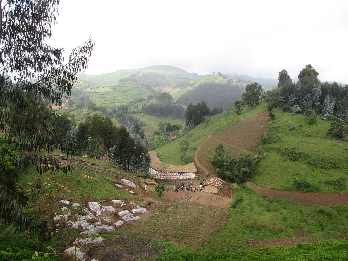
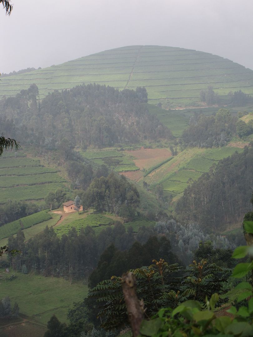
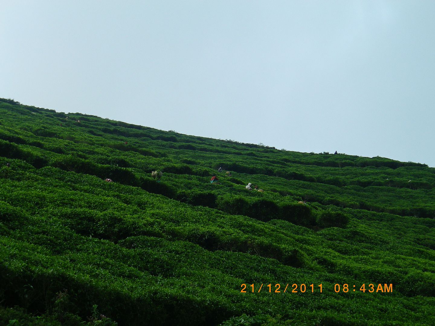
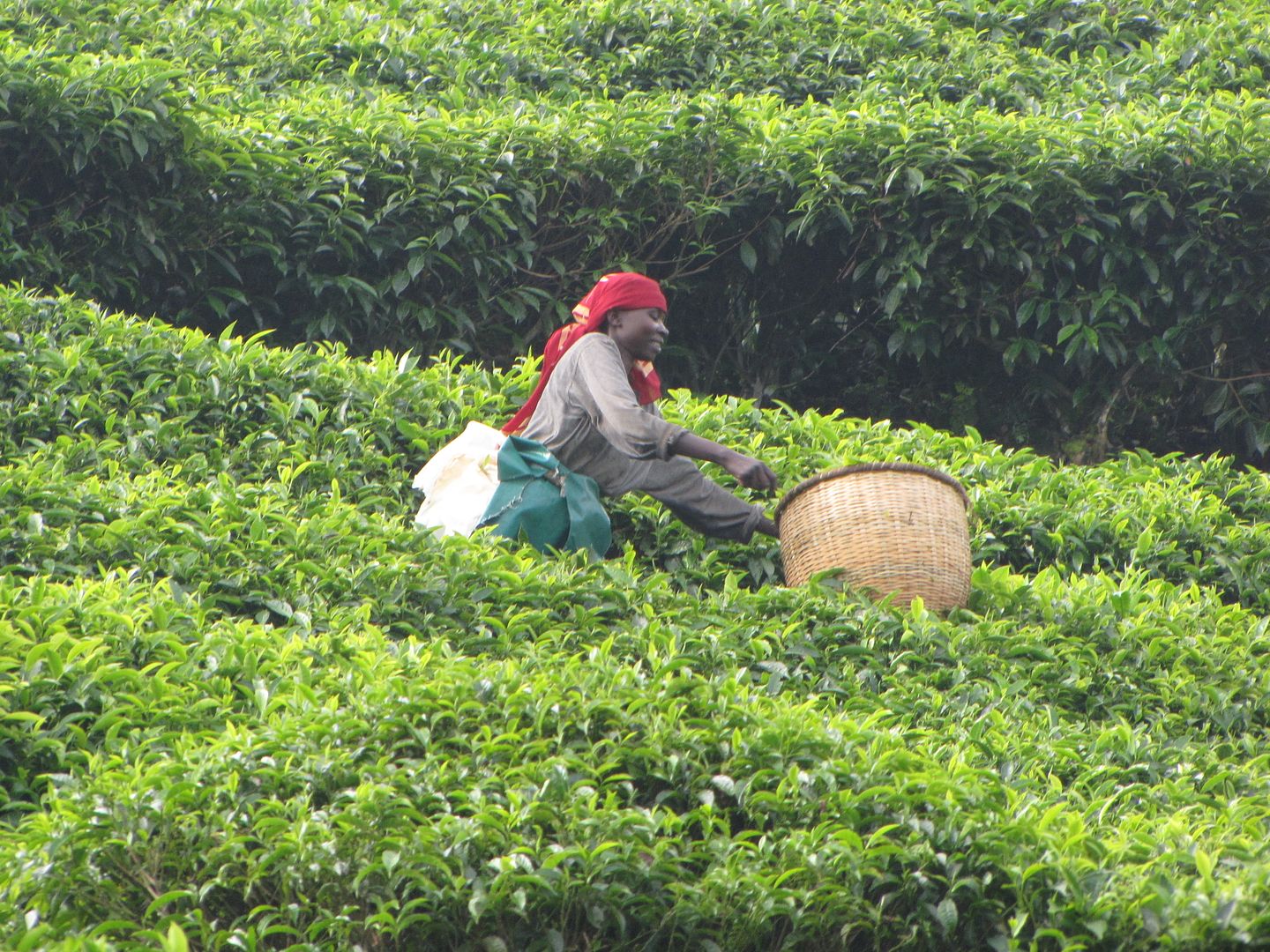
The Tea Plantations never ceased to impress me. The scenery was spectacular.

IMG_8129.jpg


IMG_8128.jpg


IMGP0666.jpg

oops....sorry...badly stitched!

IMGP0667.jpg


IMG_8132.jpg


IMG_8133.jpg


Some readers might be aware that Rwanda is associated with the horrific events that unfolded in 1994. They experienced one of the most savage genocides in history. In 1994 an estimated 800 000 Rwanda Tutsis were killed in just 3 months by the Hutu extremists. About 3 million people fled to refugee camps in neighbouring Tanzania, Congo and Uganda. These genocide memorials are a reminder of this terrible event and Rwanda is still in the process of recovery.

IMG_8136.jpg


IMG_8134.jpg


IMG_8135.jpg


IMG_8139.jpg


IMG_8140.jpg


When planning this trip we were unsure about travelling in this area as one hears and reads conflicting reports about the country and its problems. After a fair amount of reading and research on the security and stability in the country we decided, despite tourists still being a novelty, that we would be OK.  Our decision to visit Rwanda was a good one as we had a safe journey and thoroughly enjoyed it.

 
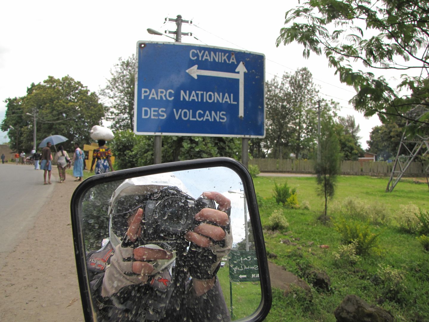
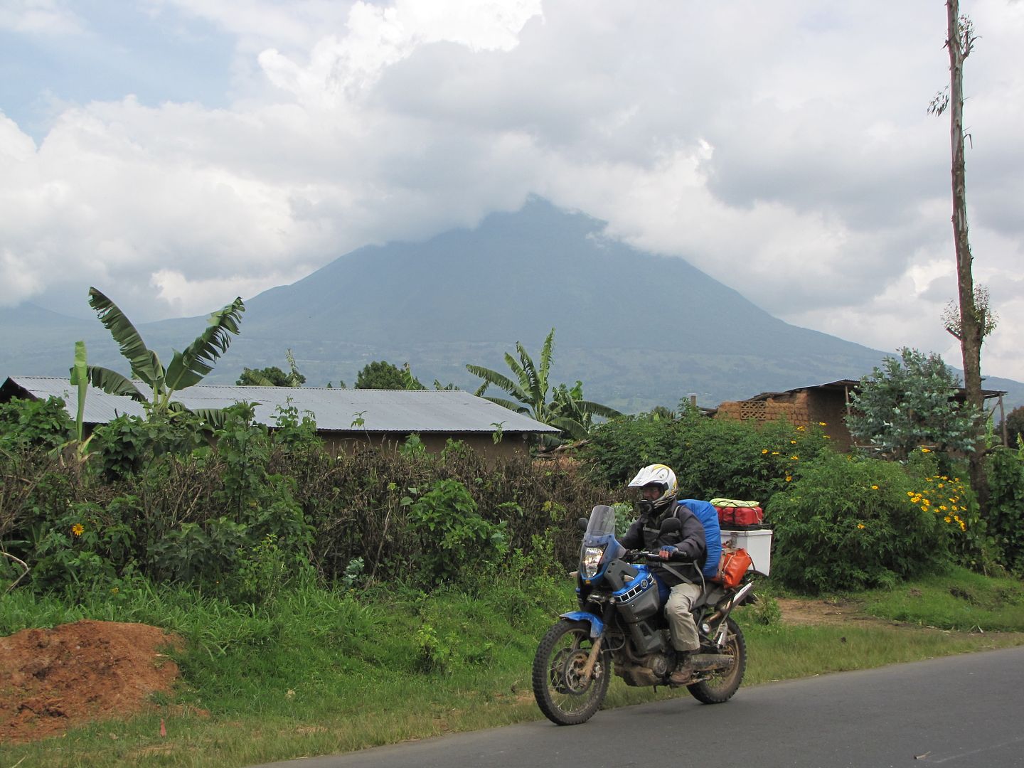
We were now in the north western corner of Rwanda and were heading in the direction of Cyanika Border Post . For a long distance we skirted the Volcanoes National Park which was on our left. This park borders the Virunga National Park in the Democratic Republic of Congo (DRC). It is known as a haven for the mountain gorillas and was the base for the zoologist, Dian Fossey, to carry out her research into the gorillas and was widely credited with saving the gorillas from extinction. Sadly she was murdered in 1985 by unknown assailants and is now buried within the park.

For many years this park was declared unsafe for tourists to visit and only back in 1999 was it deemed safe and under control. Although there have since been occasional infiltrations by Rwandan rebels. 

IMG_8145.jpg


IMG_8146.jpg


IMG_8148.jpg

MUHABURA VOLCANOE ~ VOLCANOES NATIONAL PARK

Sometime after midday we arrived at the Rwandan/Ugandan Border Post

IMG_8149.jpg


IMG_8151.jpg


It was here that one of the Rwanda Officials gave us a bit of trouble and called us into a little hut and requested all our paper work. He wanted our bike insurance and we presented him with our Cross Country Insurance which was not what he wanted but we managed to convince him was suffice. He then wanted a Comesa, which we didn’t have and we informed him we didn’t need it. He was obviously trying to intimidate us so that we would offer him bribe money but we remained calm and pleasant and hung around until he didn’t know what to do with us anymore and eventually he let us pass into Uganda.

We saw two other motorcyclists.....also covered in mud and riding what looked like local bikes. Unfortunately we didn’t get an opportunity to chat as they were leaving Uganda. At 2.15 pm we managed to leave the border and headed for Kisoro. We were relieved to discover that we were allowed to travel on the left side of the road again which was beautifully tarred. The ATMs weren’t working in Kisoro and the banks wouldn’t exchange our money as there was some problem inside as well. We wasted a stressful hour here trying to buy money on the black market. We finally refuelled and headed for the Bwindi Impenetrable Forest – about 90 km further.

As we wound our way up and out of the valley we encountered more road works but were also treated to some magnificent views and a scenic route through the bamboo and montane forests of the Echuya Forest Reserve ~ also popular with birdwatchers. It was difficult to stop and take photos due to all the road works and shortage of time.

IMG_8152.jpg


IMGP0671.jpg

View of the northern tip of  Lake Bunyonyi which has also become a popular tourist destination.

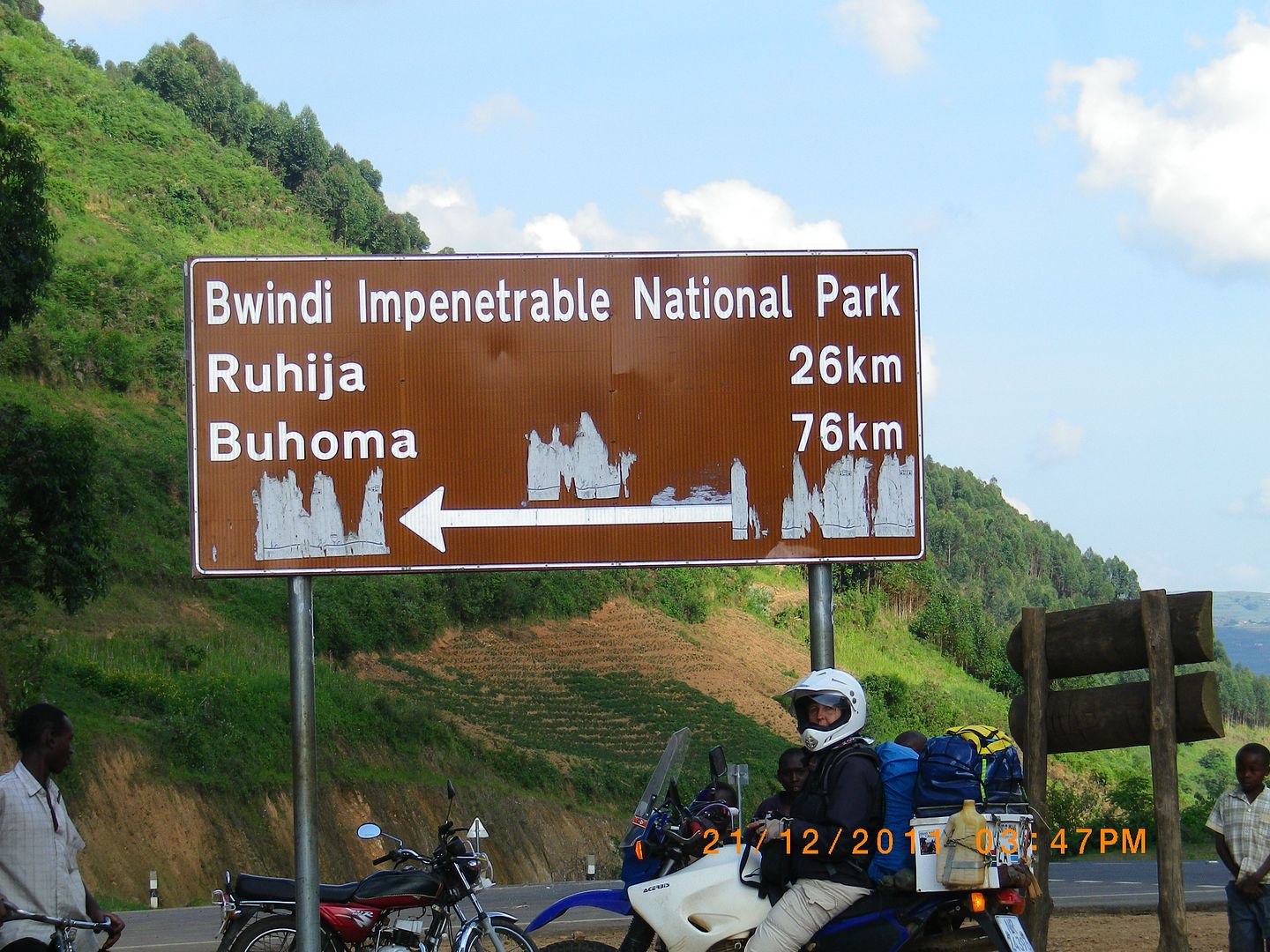
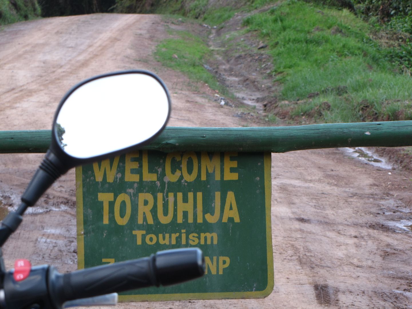
Finally, the sign to Bwindi Impenetrable National Park. We were heading for Ruhija, our final 26 km for the day.

IMGP0672.jpg


IMG_8154.jpg


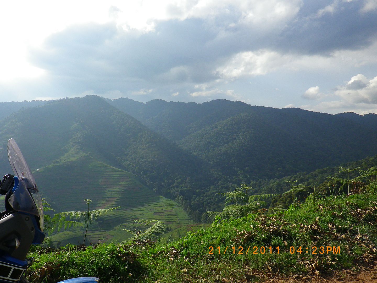
It was a spectacular ride and it is quite obvious were the cultivated land and forest formed a dividing line.

IMG_8155.jpg


IMGP0675.jpg


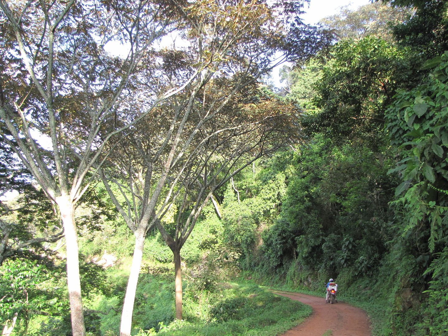
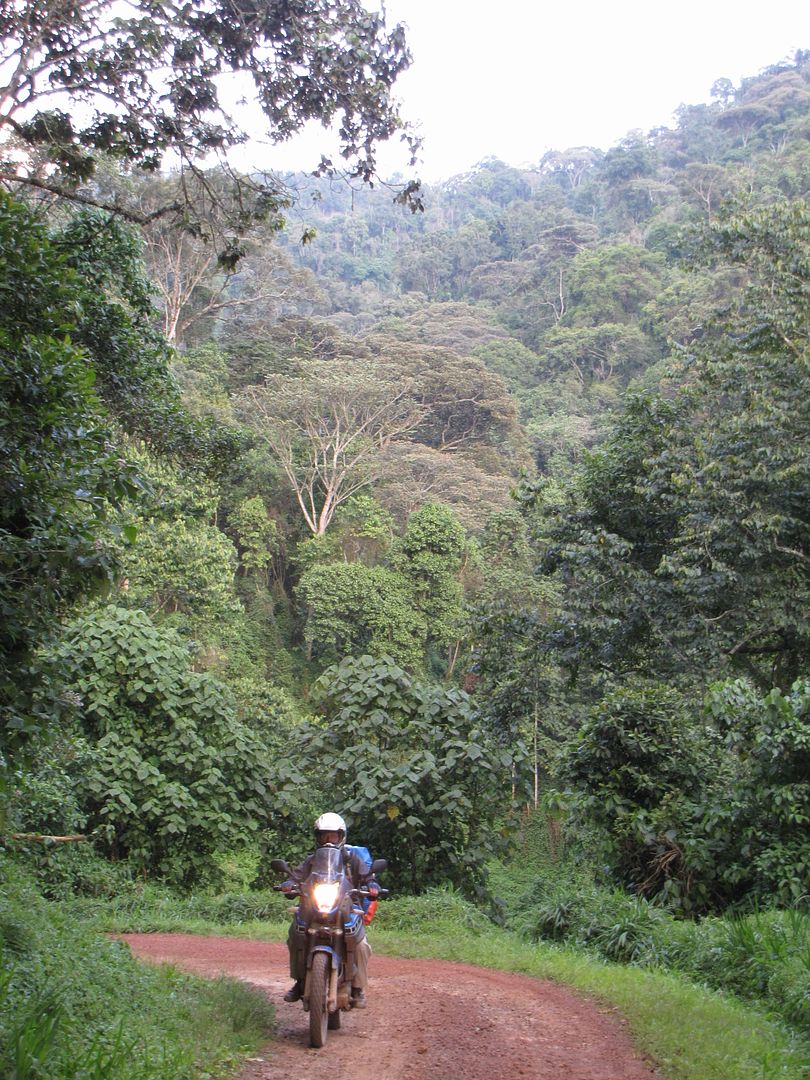
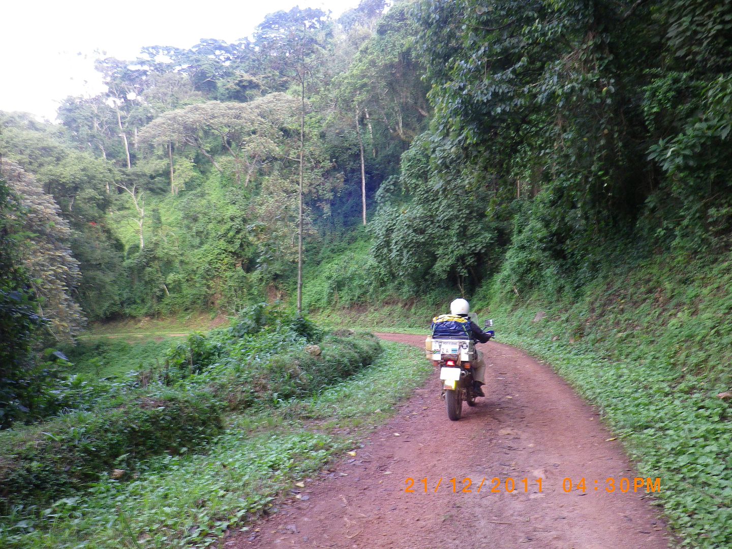
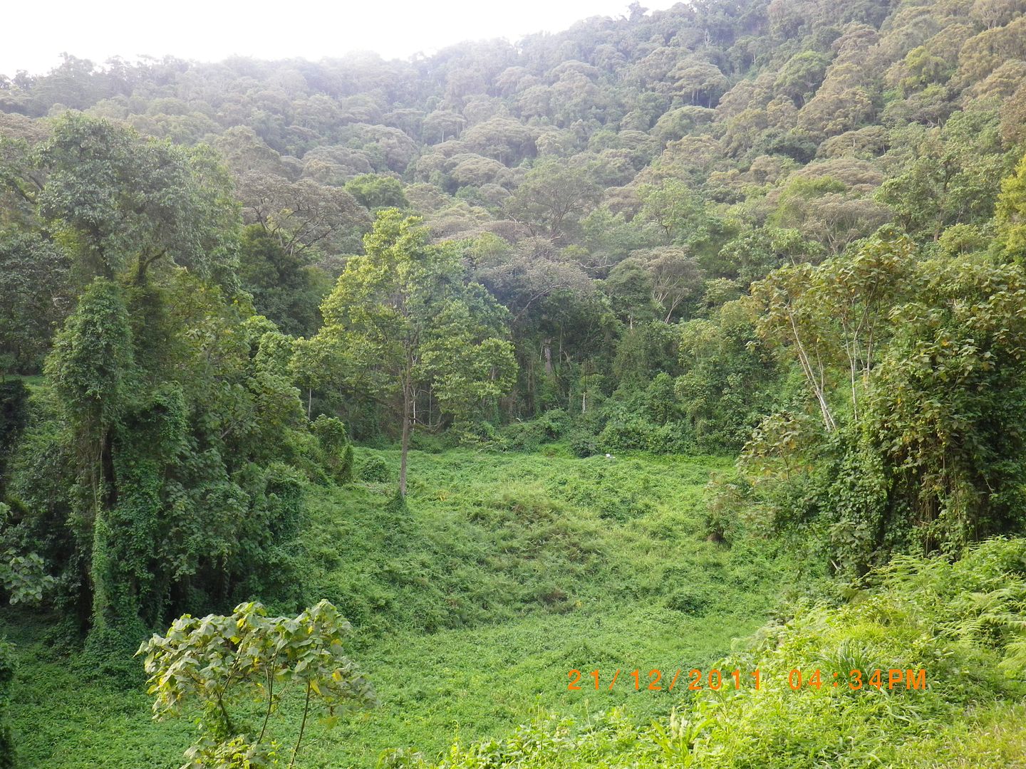
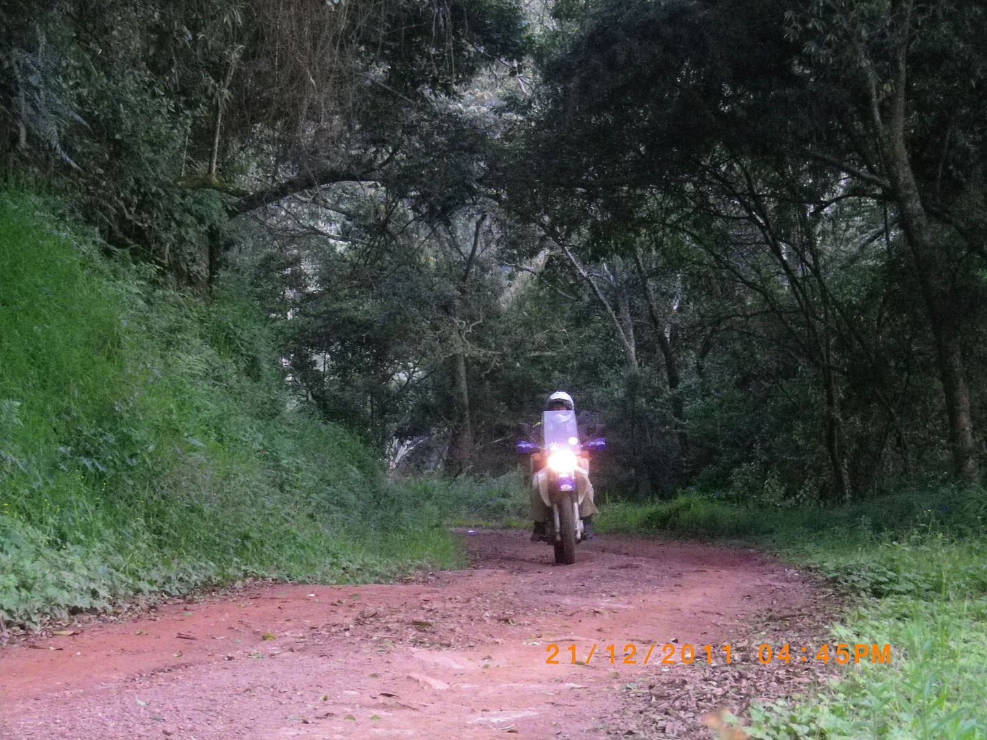
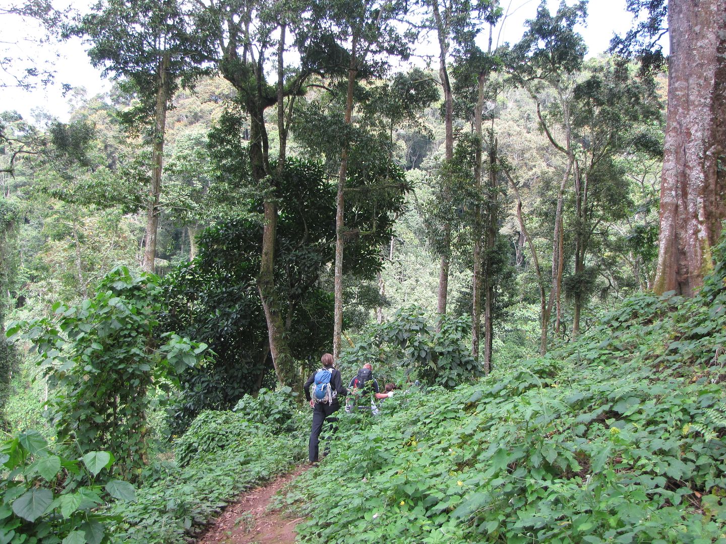
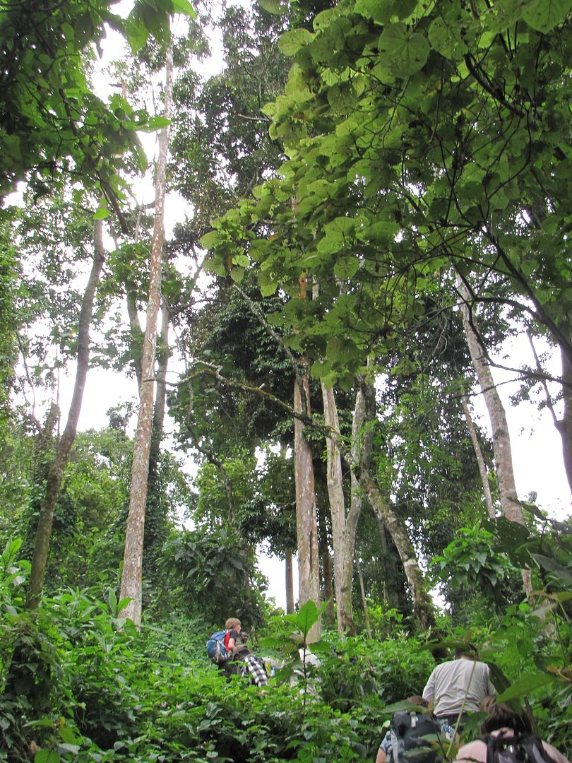
Bwindi is a true rainforest, spread over a series of steep ridges and valleys that form the eastern edge of the Albertine Rift Valley. It was so uplifting riding through these magnificent trees and awesome scenery. We had to negotiate a few more muddy patches and passed a crowd of birding tourists walking along the road. However this 26 km dragged on for about another hour and a half.

IMG_8160.jpg


IMGP0677.jpg


IMG_8161.jpg


IMG_8162.jpg


IMGP0678.jpg


IMGP0684.jpg


IMGP0685.jpg


IMG_8167.jpg

ARRIVING AT RUHIJA WAS QUITE A THRILL

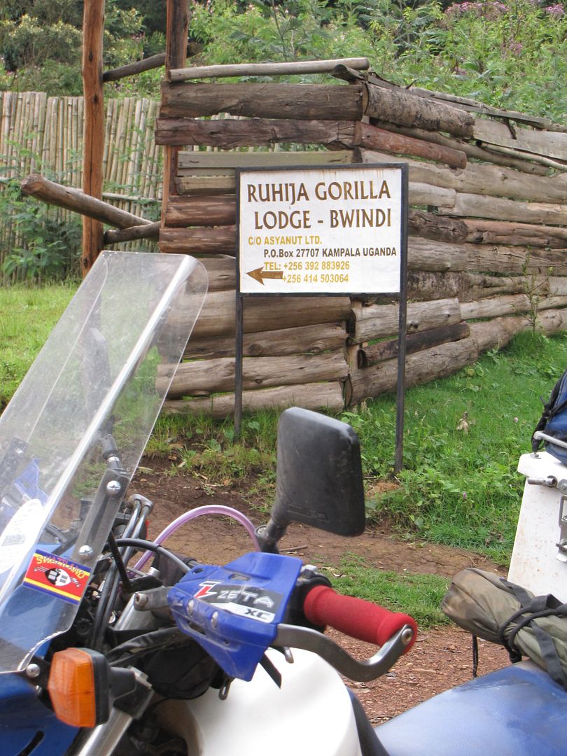
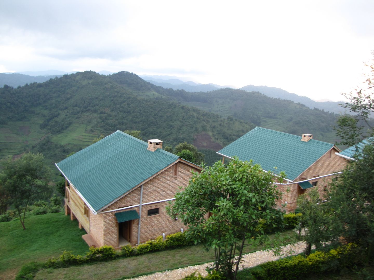
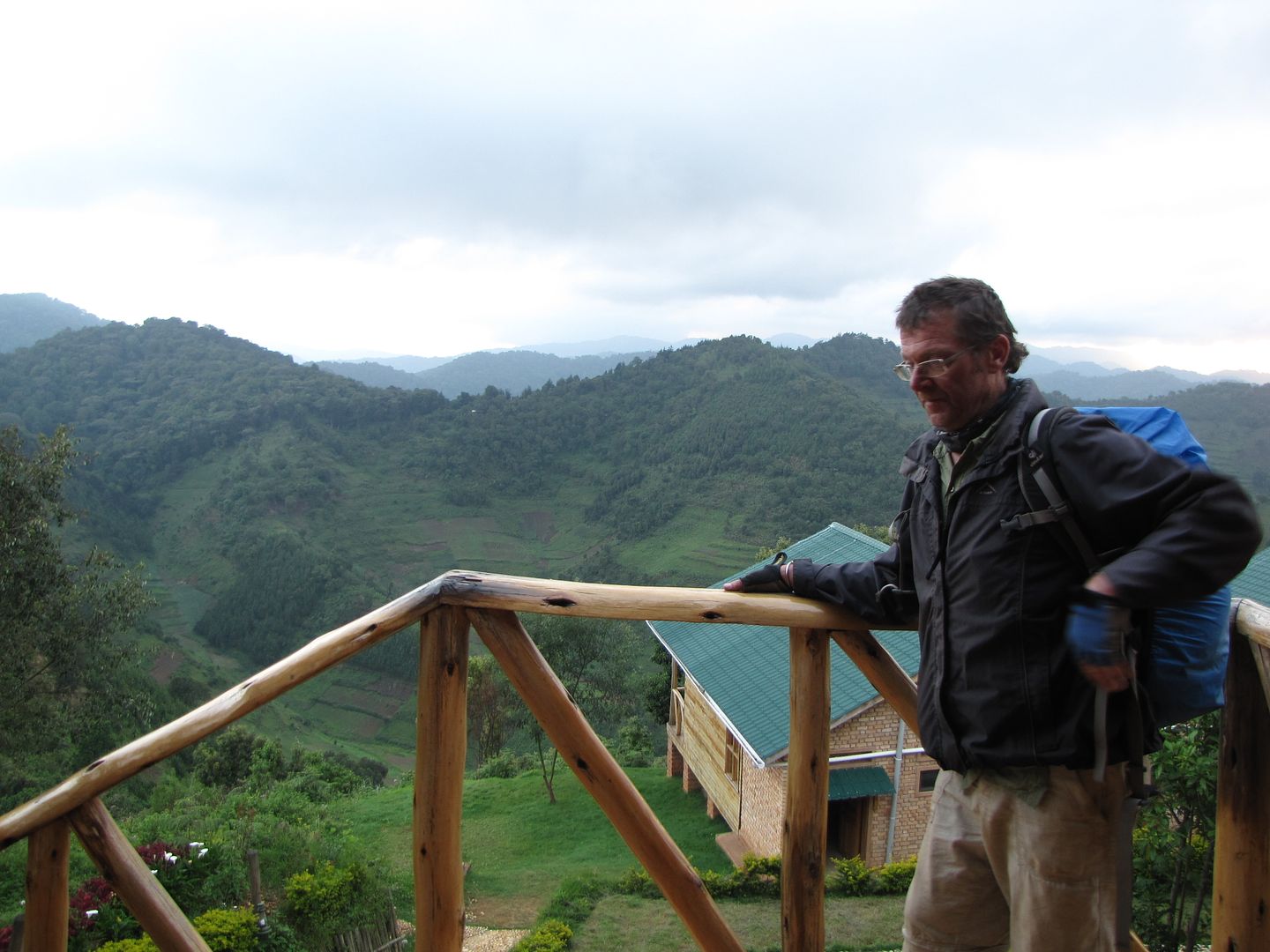
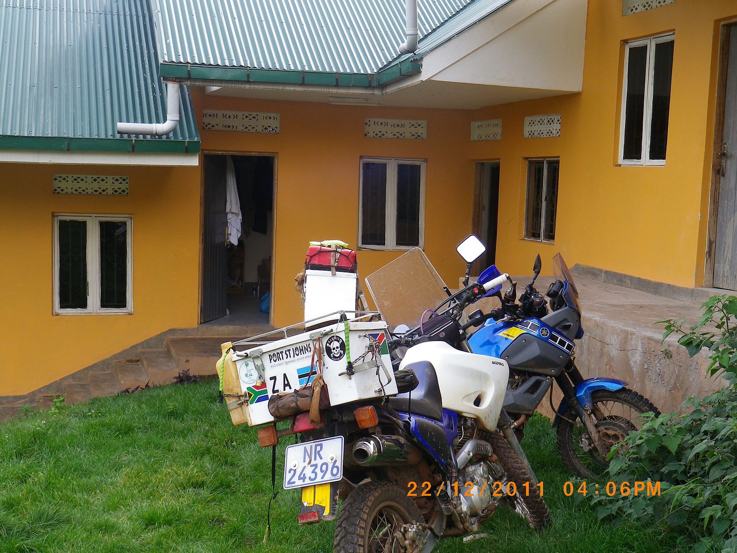
We were residents here so didn’t have to pay the $30 park entrance fee .....thank goodness. About a km  after the park entrance a right turn took us through the untidy little village of Ruhija.  We ended up staying at the Ruhija Gorilla Lodge which boasts a terrific view across the forest towards the Virungas and the Rift Valley. Initially they were fully booked and there were no camping facilities. We could have ridden to other resorts but we were now so tired and reluctant to get back on the bikes.
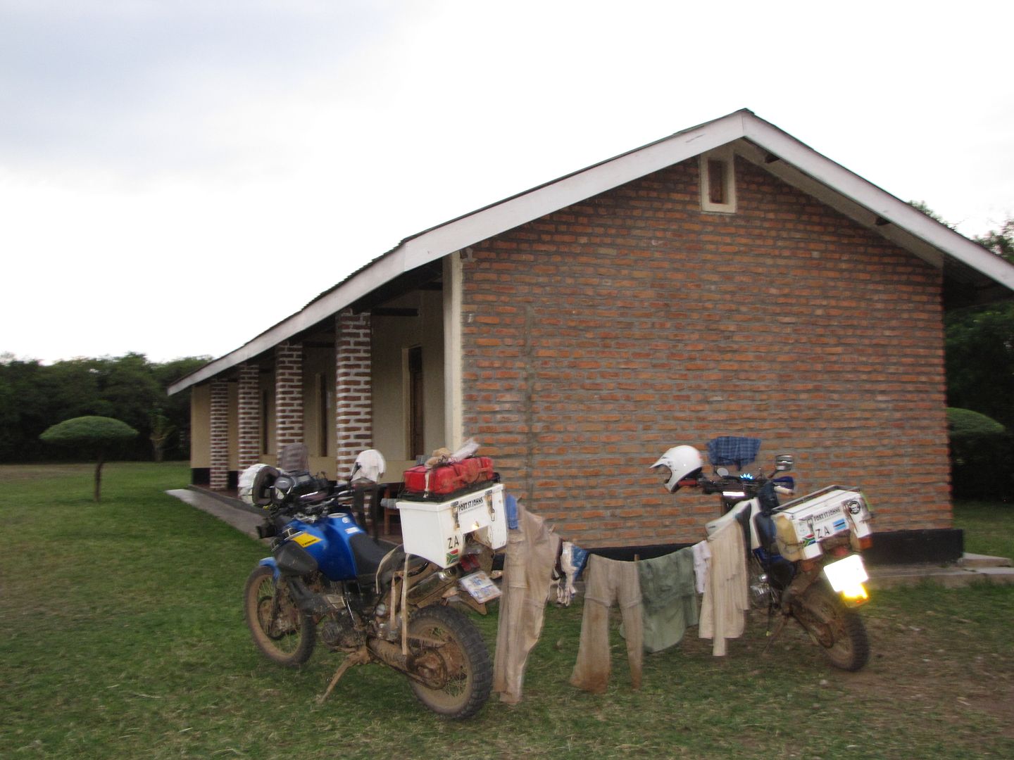
The manager was so pleasant and accommodating and kindly allowed us a small room with a non functioning communal bathroom as they were still in the process of being built. This was only a short walk away from the main building. We were delighted, despite the fact that we once again had to wash out of a bucket as there was no running water. But who cares....we were finally in Bwindi and tomorrow is a big day for me......... I was going Gorilla tracking.

IMG_8315.jpg


IMG_8169.jpg


IMG_8171.jpg


IMGP0693.jpg


IMGP0686.jpg

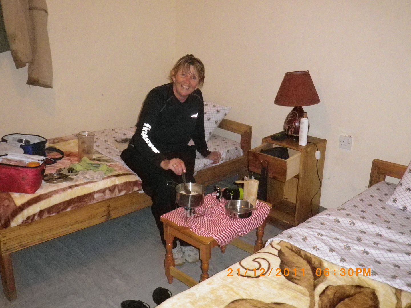
Enjoying another home cooked meal. :-\

Later that evening we went up to the rustic pub and restaurant and bumped into a party of 8 tourists who were on a birding safari. One of the elderly couples was from our home town – talk about a small world. We enjoyed the rest of the evening relaxing and swopping travel stories.

 
BWINDI IMPENETRABLE FOREST ~ REST DAY

Day 13: Thursday 23 December


An early wake up and an early breakfast was necessary as I had to get to the park office to secure a permit. I can’t believe that the moment I had been waiting for, for so long, had finally arrived. I was very fortunate to get this permit but I am embarrassed to tell you that it cost me $500!!!!! According to my knowledge it was meant to be $300 but obviously all the info I was reading was outdated – so much for my research.

IMG_8166.jpg


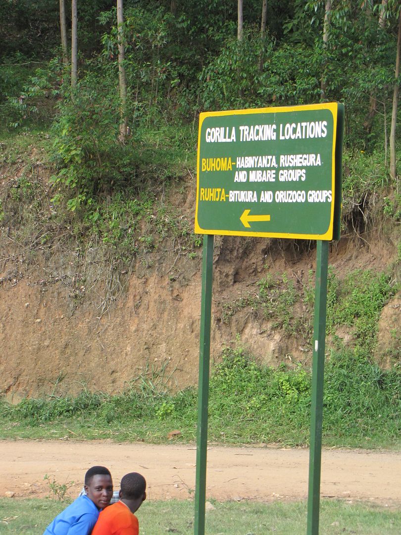
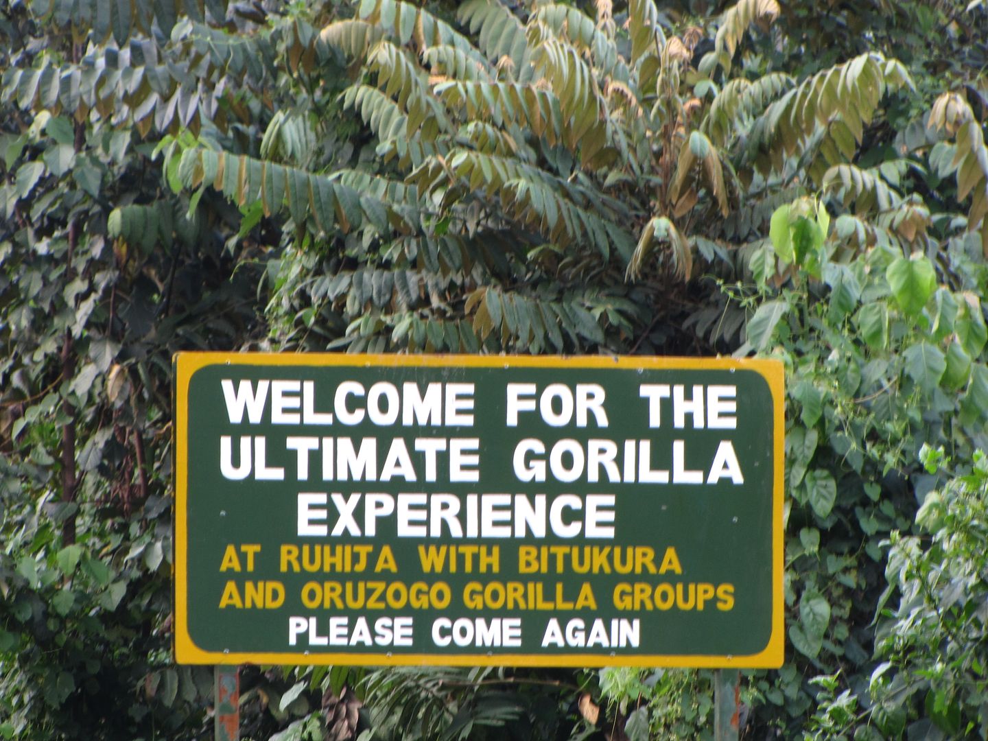
There are 2 groups of gorillas at Ruhija, the Bitukuru and the Oruzogo and only 8 tourists are allowed to track each group. One group of tourists arrived late so they allowed me to buy a permit, thinking they were not arriving, and I was initially going to be on my own tracking the Bitukuru group. They eventually did arrive, so now we had a party of 9.....I was very fortunate that they allowed me to continue.

This was the most amazing moment of my adventure through Africa. I didn’t care about my sore ankle.....I just had to do this. I had a handful of pain killers and anti-inflammatories and I was ready to go.

Our guides name was Obed and he prepped us on the gorillas and their conservation as well as other interesting information.

The Bwindi forest is a 300 km square island of dense vegetation and accommodates 340 of the 700 mountain gorillas that are left in the world. The rest live in the Virunga and Volcanoes Forests. A troop is made up of 2 – 40 members and their home-range is about 10 – 30 km square which does overlap with other groups. They move up to a kilometre a day, depending on food availability. The Bitukuru group, that we were tracking, was made up of 13 members -  4  silverbacks (adult males), 3 black backs ( juvenile males), 4 females and 2  babies.


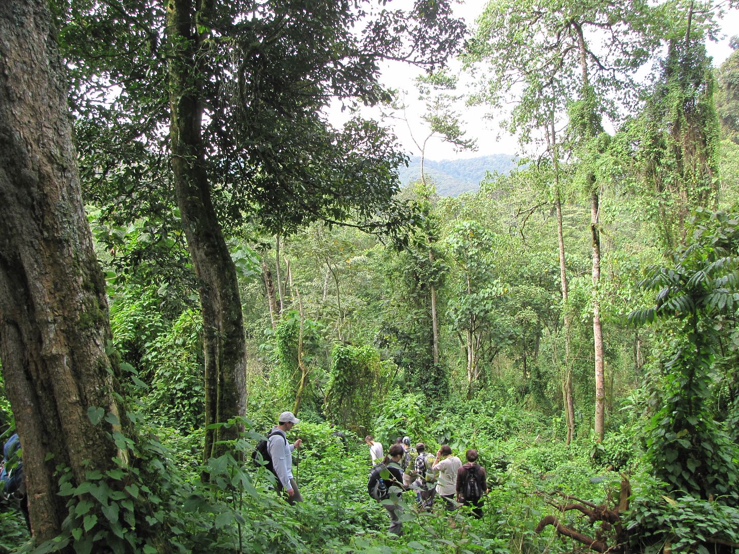
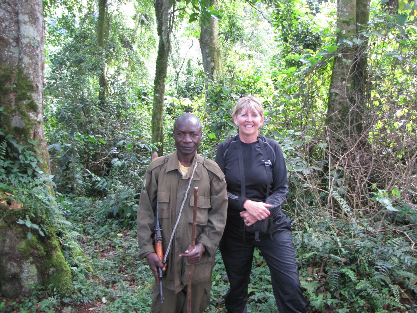
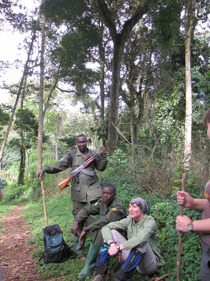
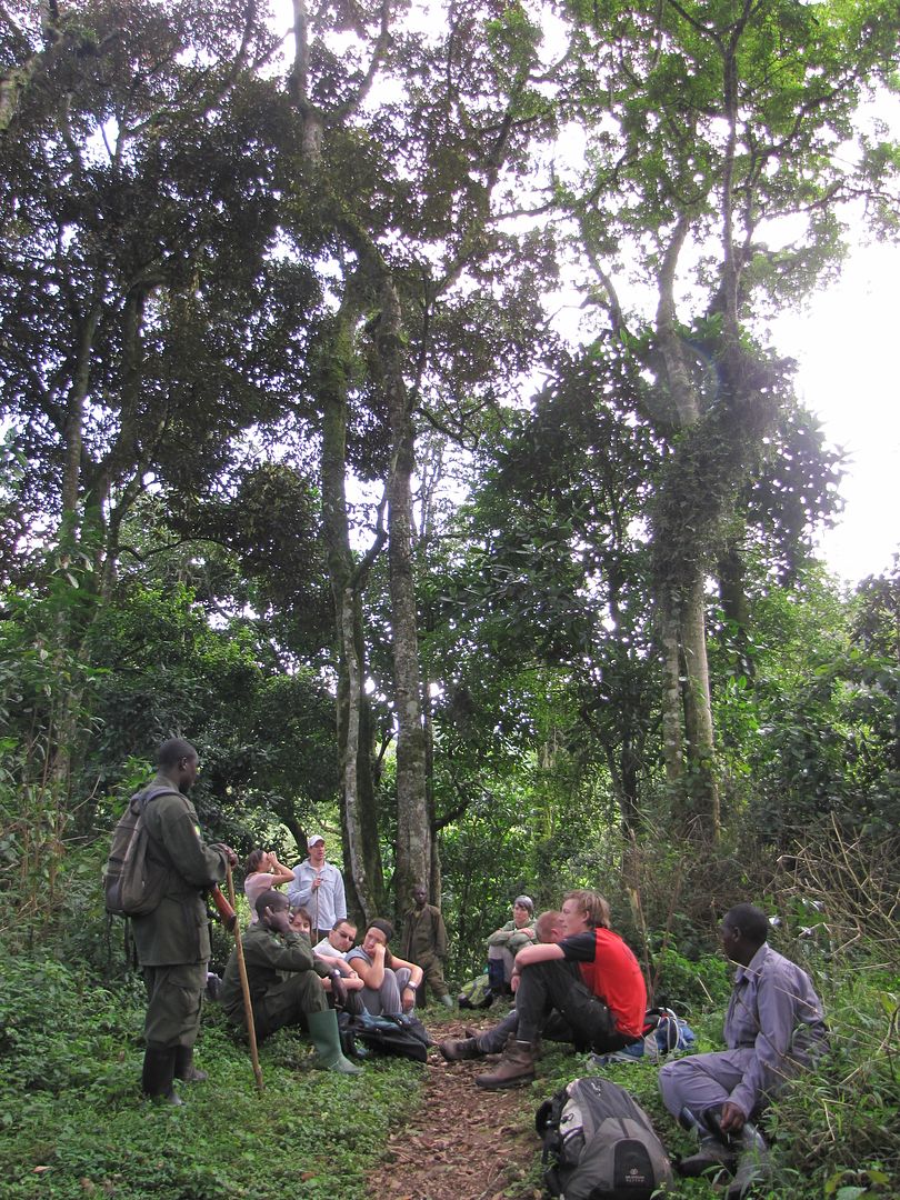
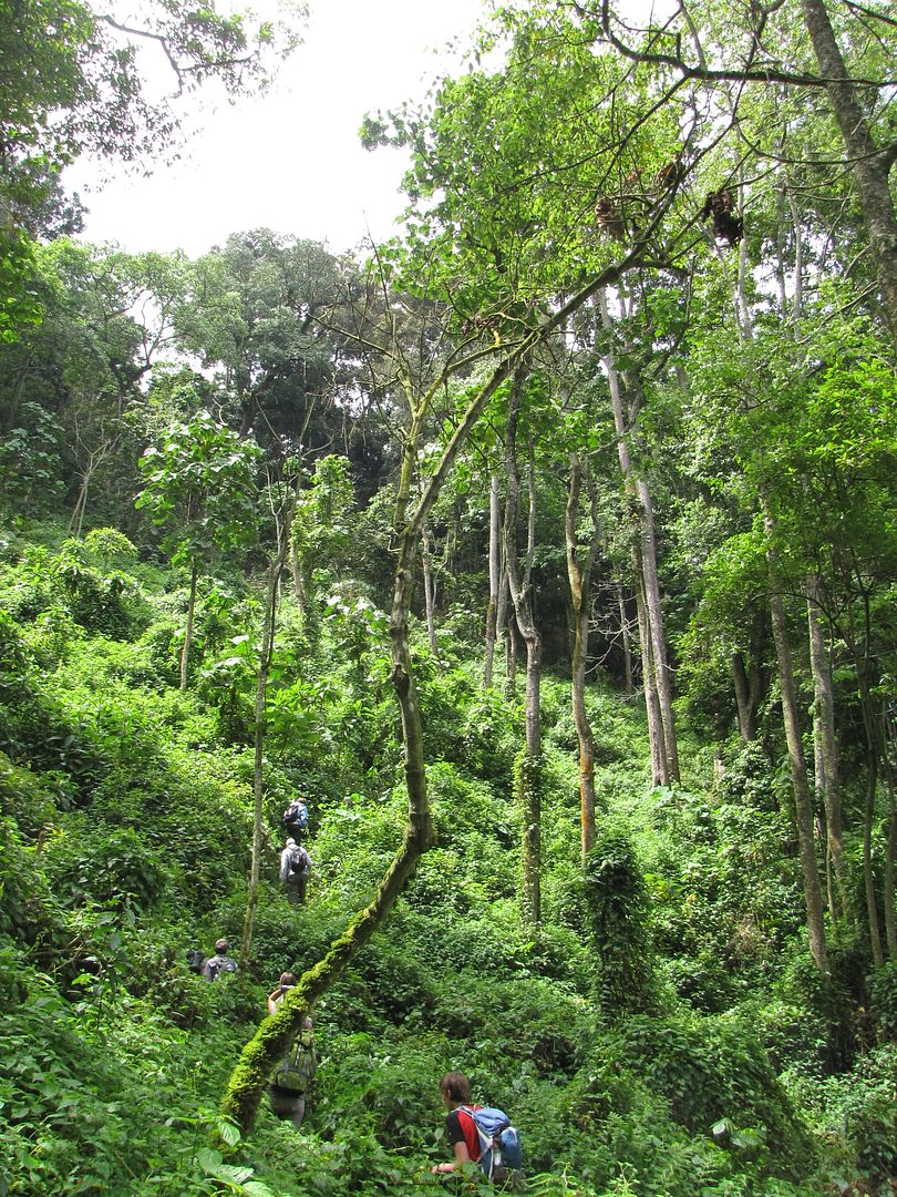
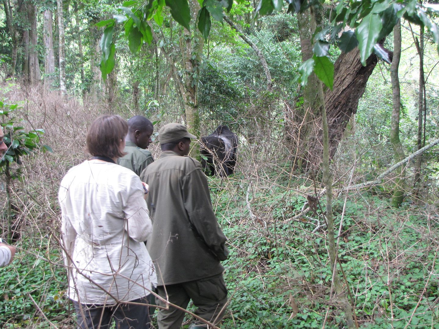
With a strong walking stick in hand I was finally on my way to seeing these amazing creatures – thanks to Dian Fossey. We squashed into a taxi that had brought the rest of the group from Lake Bunyonyi and drove a couple of kilometres down the road where we started the hike. We followed a pathway down a steep hill through dense bush. There were two armed guides up front and one at the back. About an hour later we stopped for a rest and for the guide to get his bearing on where the group was. The going was good and I immediately thought ‘this is cool, it’s going to be easy.’  Hahahaha.... what a joke!!!


IMG_8176.jpg


IMG_8178.jpg


IMG_8181.jpg


IMG_8183.jpg


IMG_8184.jpg


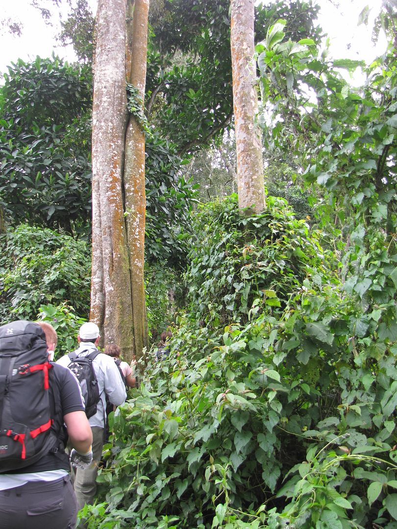
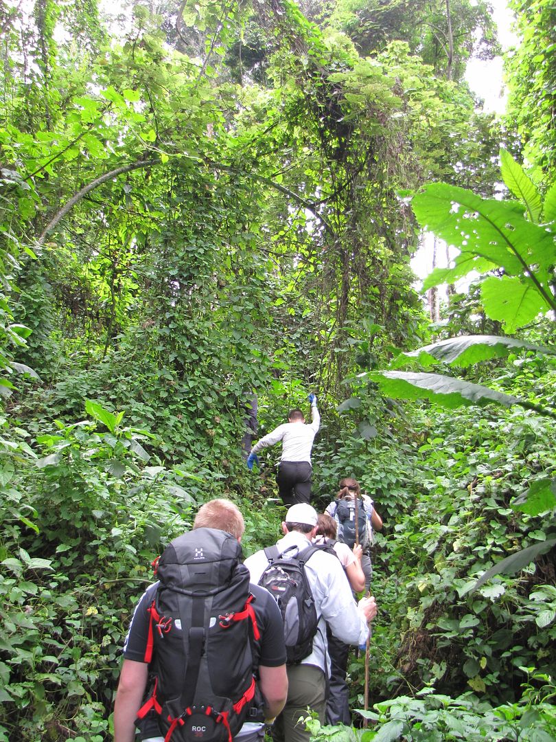
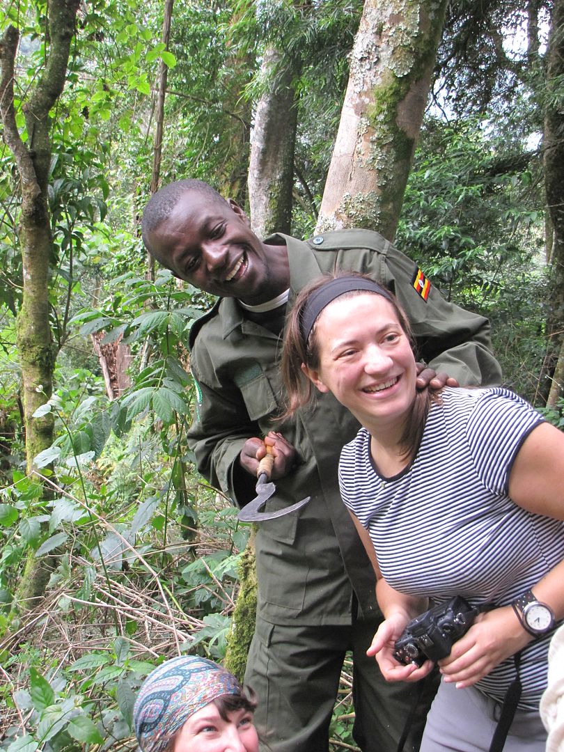
After our rest we were taken off the main pathway and the two guides were using their machetes to hack a pathway for us. We crashed through so much dense bush with thorny stems grabbing at our sleeves and hands, tripping over roots, slipping into holes, vines hooking around our ankles and ants trying to find any exposed flesh to pinch.
This all took place on the 45 degree slopes that we had to work our way up and down, up and down for about another 2 hours. I was at the back of the queue and managed to keep up despite a swollen and painful ankle. I was determined to see these guys. There was much sweating, puffing and panting from everyone.

IMG_8186.jpg


IMG_8188.jpg


IMG_8189.jpg


IMG_8190.jpg


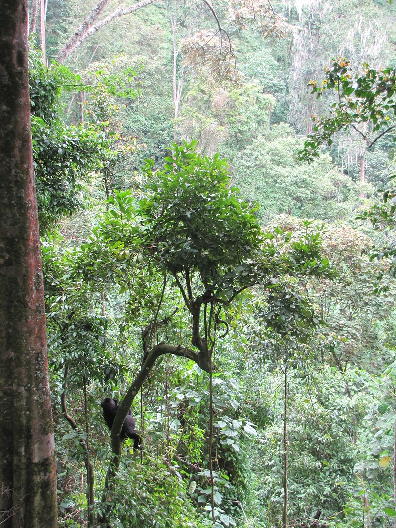
I could smell them before I could see them!

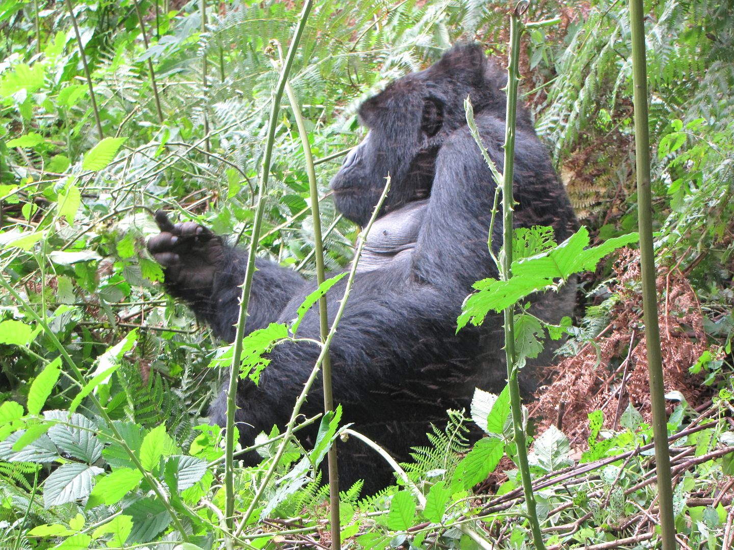
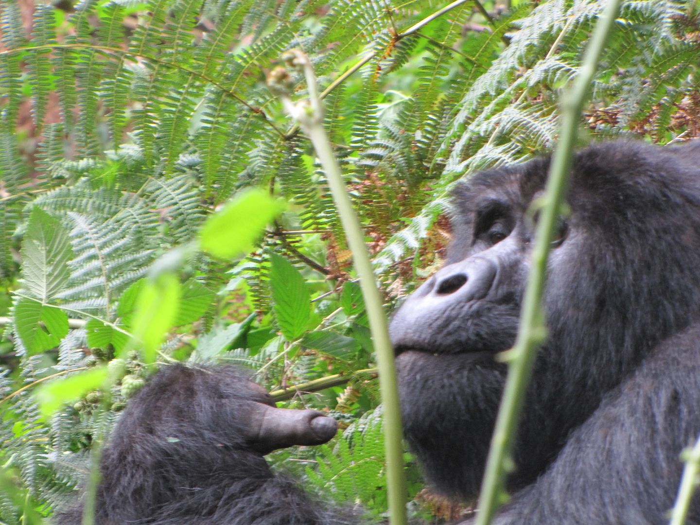
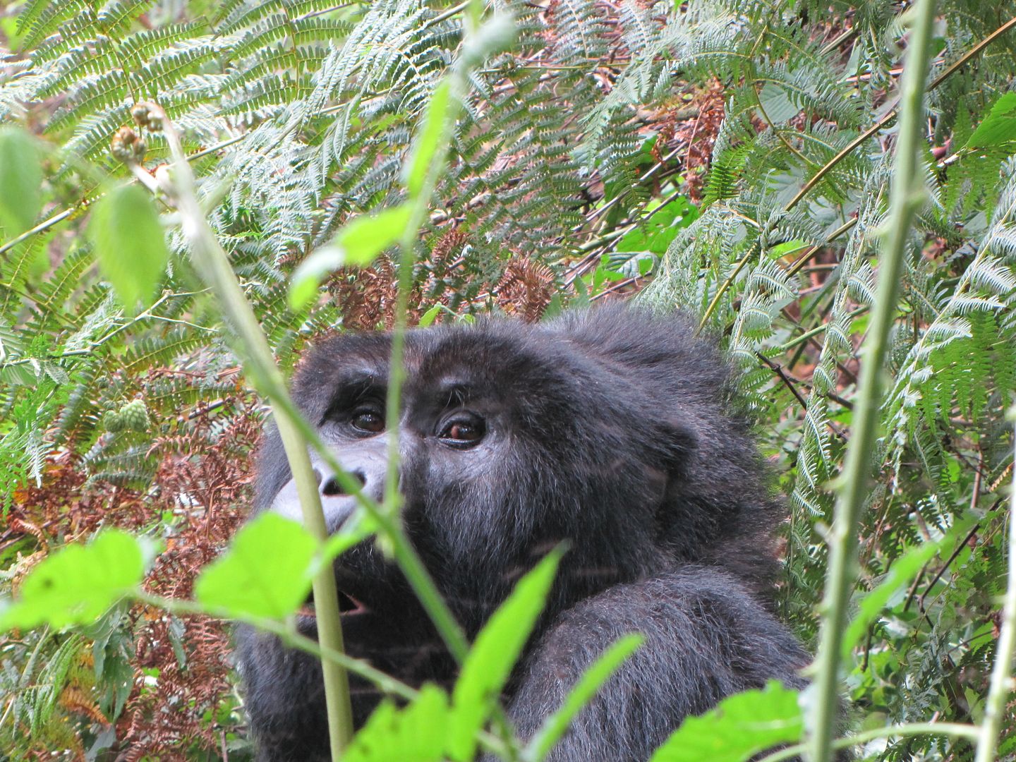
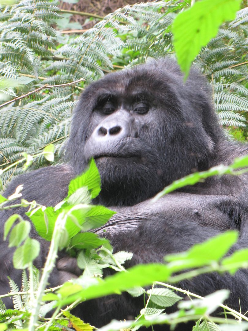
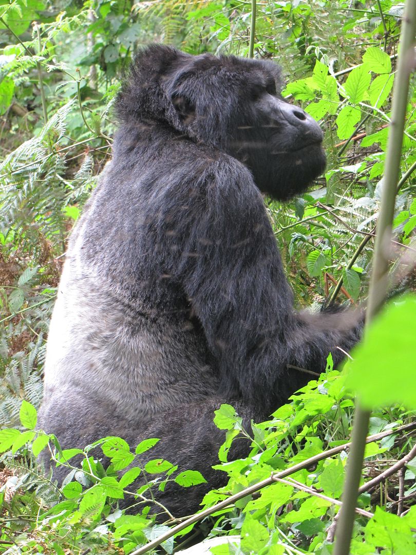
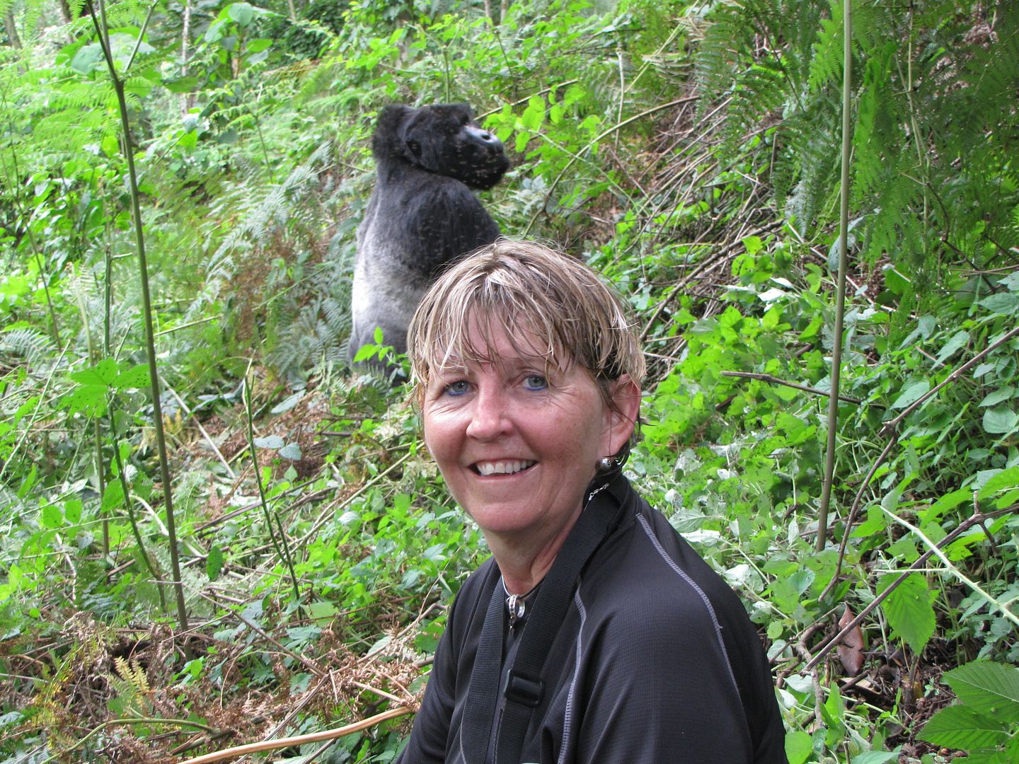
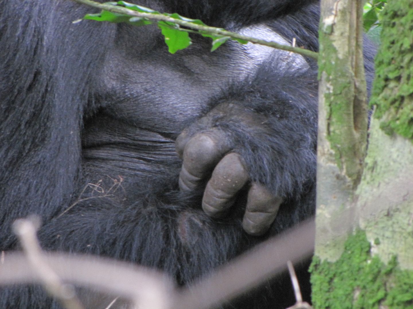
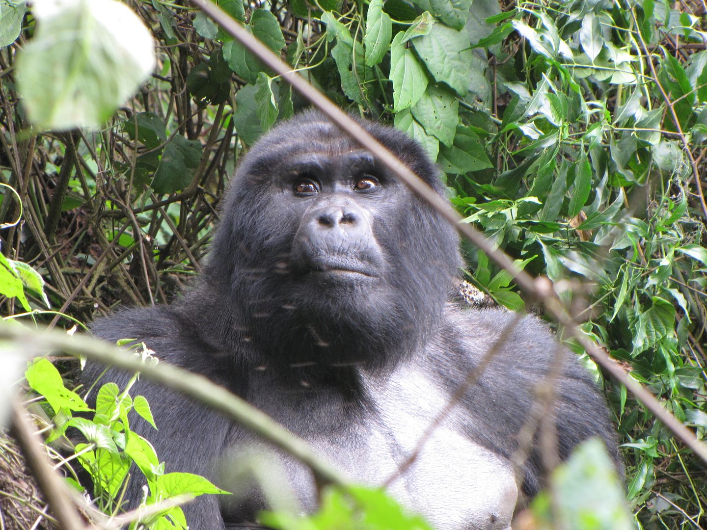
Above us, sitting on the slopes was a magnificent silverback. He just ignored us and continued feeding and stripping leaves from the stems. He was surrounded by flies but appeared unperturbed. We sat there in awe for quite a while........ just watching!! Occasionally he glanced our way to watch us clicking away furious with our cameras. What was amusing about this chap was his finger. He had an old injured middle finger and it appeared that he was giving us a rude message......perhaps inadvertently expressing his true feelings.


IMG_8203.jpg


IMG_8197.jpg


IMG_8209.jpg


IMG_8219.jpg


IMG_8226.jpg

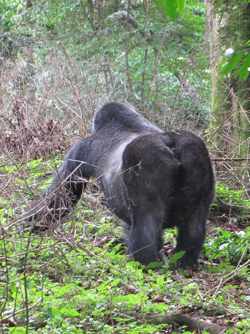
You can see his beautiful silverback.

IMG_8231.jpg


We were not allowed to carry our sticks or backpacks as this was seen as a threat to the gorillas, we put them down and moved further up the hill to look for the rest of the group. They were all feeding separately and not interacting in a group.....which was a pity. We were startled by a crashing of branches and undergrowth behind us as a huge silverback rushed down the slopes towards us and performed a mock charge. He stopped just short of us and sent a few people scattering into the bush. He took up an aggressive stance in front of us and then nonchalantly slipped away into the foliage.
There was much nervous giggling amongst us.


IMG_8239.jpg


IMG_8240.jpg


IMG_8245.jpg


IMG_8247.jpg


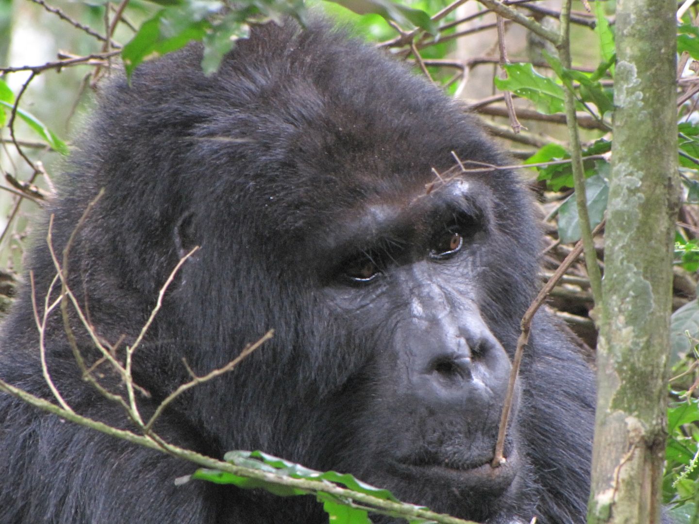
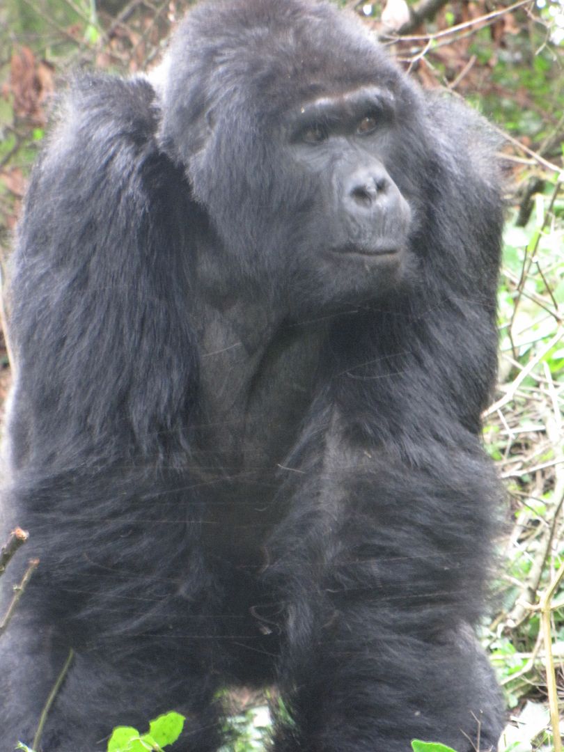
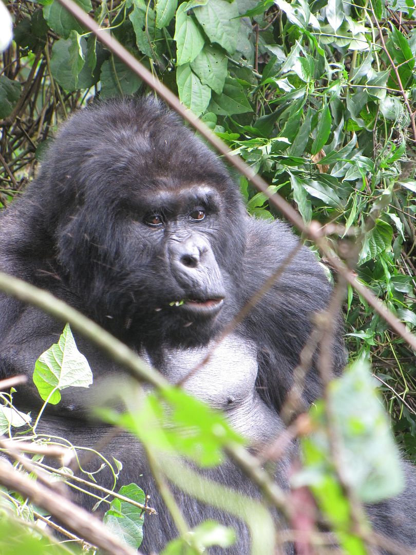
This one below is the eldest gorilla who is no longer the dominant leader of the group. He moved slowly down towards us also making an impressive appearance, sat down and looked at us calmly, showing his age with his scruffy long coat.

IMG_8282.jpg

He looked so wise!

IMG_8257.jpg

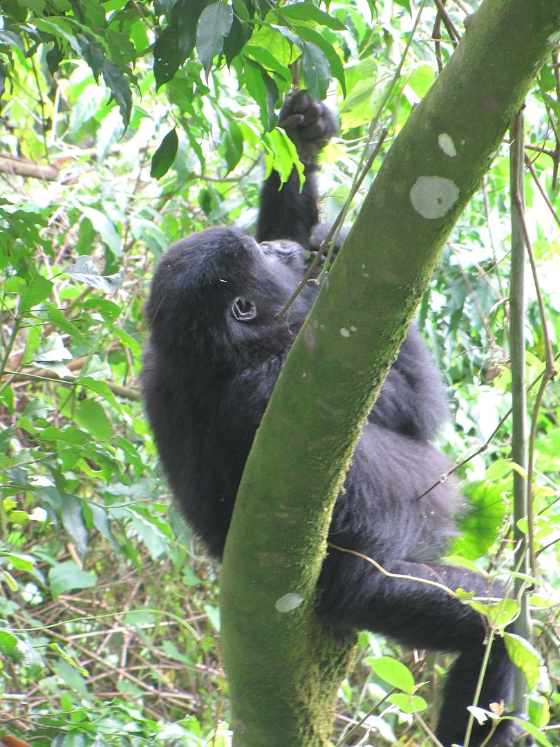
A youngster enjoying a quiet moment.

IMG_8256.jpg


IMG_8304.jpg


IMG_8309.jpg


IMG_8287.jpg

Probably not a good marketing photo!?


We were only allowed an hour to view the group after which we reluctantly headed back to base camp. This only took us about an hour and a half. The last 15 minutes we walked in the pouring rain but we didn’t care as our thoughts were back in the forest with the gorillas.
On return we were handed our ‘Gorilla Tracking Certificates’ and we all headed off back home in different directions.

Being asthmatic meant that Kingsley was unable to partake in this amazing experience but he did have the opportunity to befriend ‘Pretty’ – a local ‘squeezer’- who offered him a massage and a meal!?!  He politely declined the offer and appeased her by buying potatoes, onions, tomatoes and bread rolls instead ( have I mentioned these ingredients before.......?).

When I phoned home that evening to share my experience, my son, who had been paranoid about me doing this tracking,  had just watched a program on T.V. called “Banged up Abroad” which was a documentary about a group of 30 tourists, of which only 5 survived, who were kidnapped in this same forest in 2005.

Never-the-less, it was a magical experience.....something one only really reads about.


LOOKING FORWARD TO TOMORROW AS WE HEAD OFF TO QUEEN ELIZABETH NATIONAL PARK.
 
Mzee said:
Simply lovely. Reminds me of my own trip.

Hi Mzee, If you did a RR on your trip I would love to read it. Please let me know the RR name.
Thanks
 
Modder en moed! And wise gorillas! What an awesome trip! Great RR!
 
Hi Karen, having ridden some of the same roads than you and Kingsley I think you are one tough lady. It is also nice to see an RR from a lady's perspective. I think we will read each others RR from now on a daily basis, kind regards Schalk vd Merwe.
 
What an amazing experience, it really took me back to my Africa trip, how I long to go back and experience it again. North of Tanzania is everything I expected it to be and more.. you are making very good time.

Respect travelling with the foot being so swolen and sore.. it must have been uncomfortable.

Great RR..
 
RUHIJA to QUEEN ELIZABETH NATIONAL PARK

Day 14: Friday 23 December 2011
Distance: 197 Km
Time:  8.00 am – 3.oo pm


There’s always one more mountain to climb
            But we are all lost travellers in time
                          Long way from home.”[/
color]

                                                            Traffic


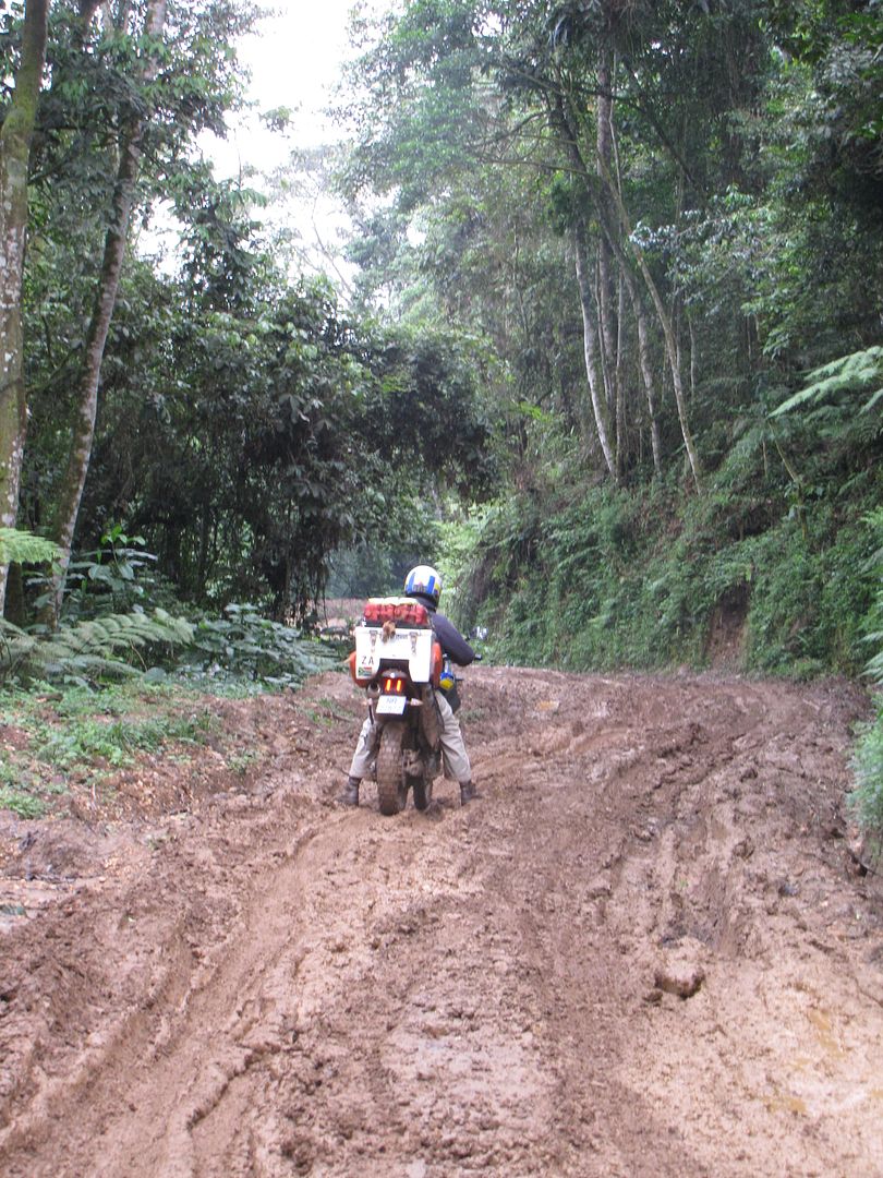
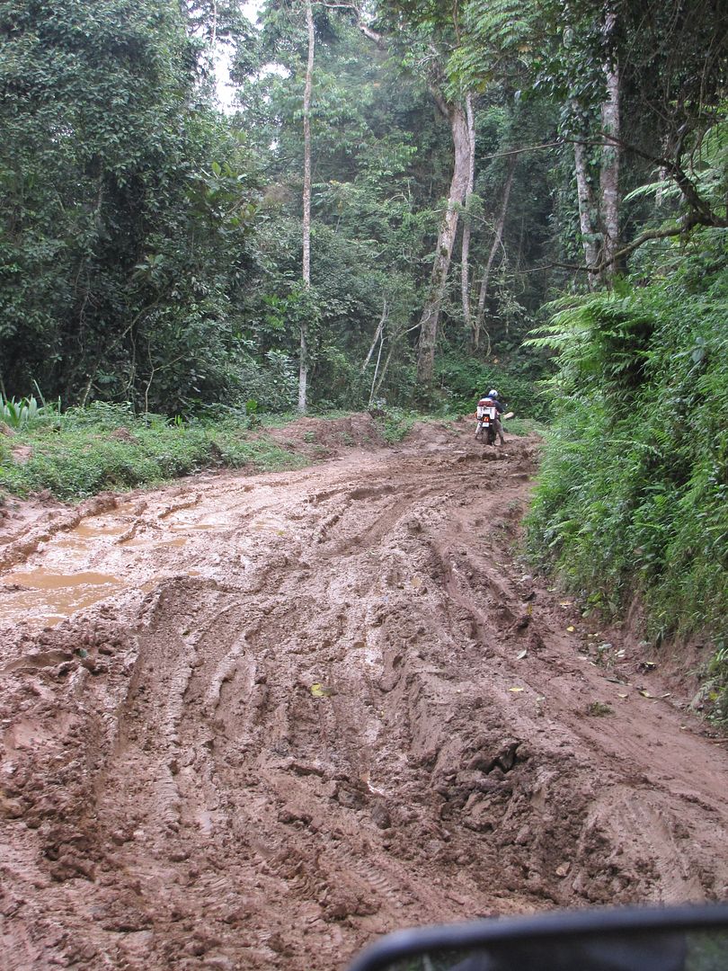
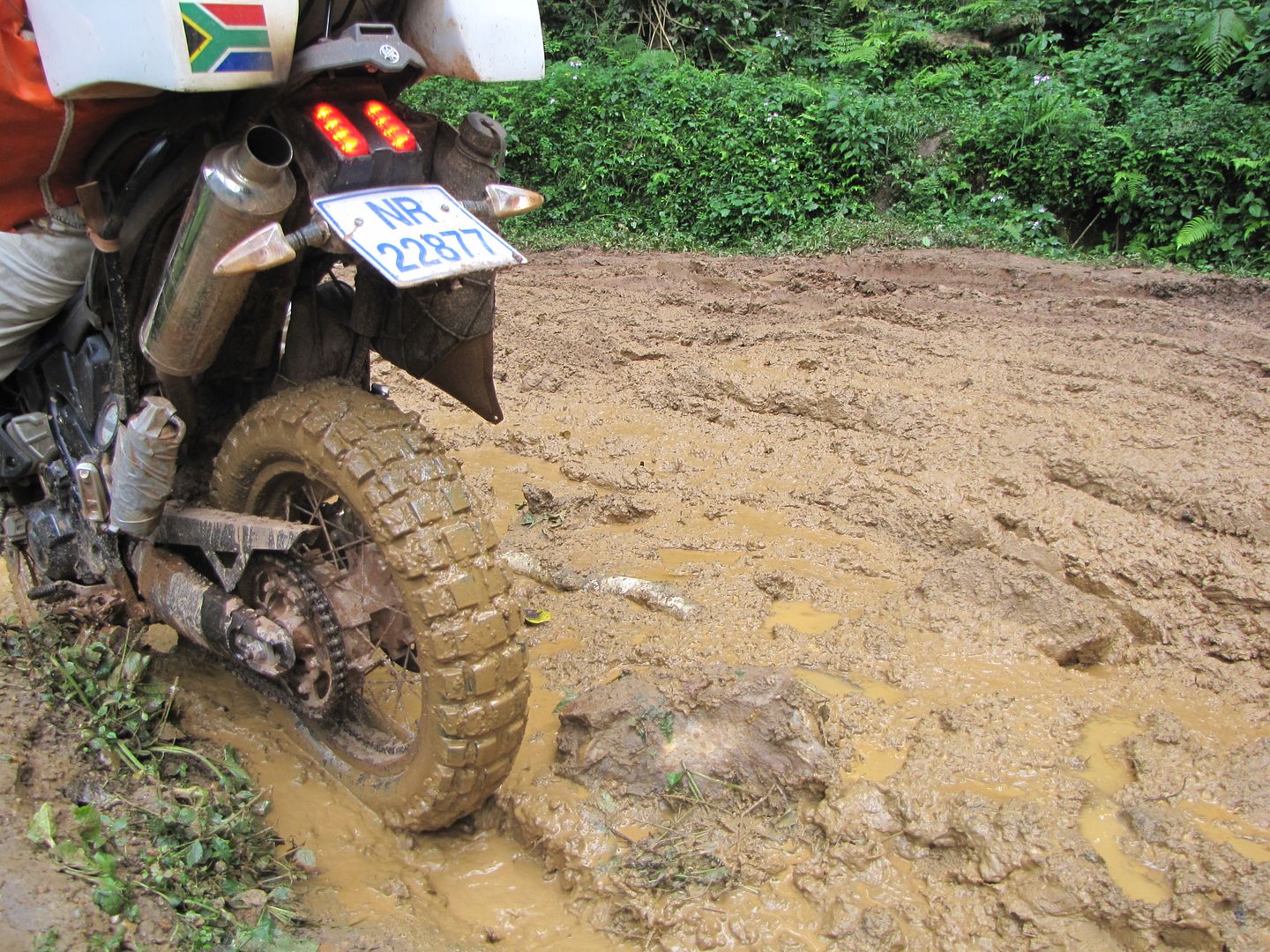
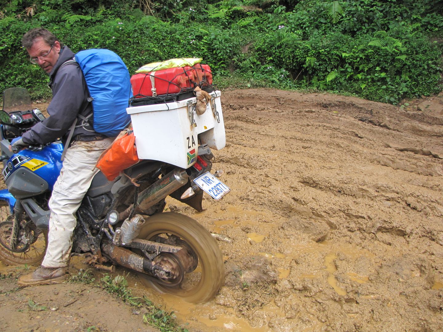
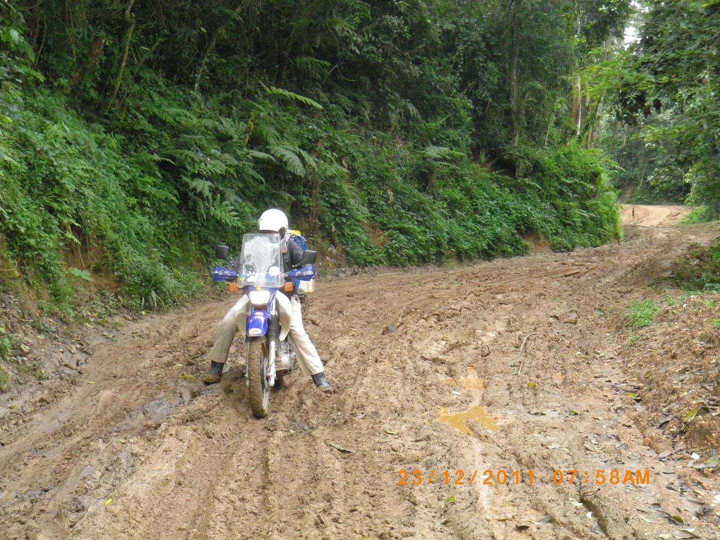
I was anxious the previous evening about riding down these muddy, windy roads as it rained into the night. After saying farewell to Shadrack, the manager, who gave us a complimentary breakfast, we set off in the direction of Buhoma – 42km away through the eastern edge of the forest.  Once I got onto my bike I immediately relaxed and started to enjoy the ride. It actually wasn’t as bad as I thought. About 25 km into the ride the road turned foul and there was slush and mud for about 2km. Kingsley managed to get himself stuck again by trying to move along the edges. Two ladies were walking up the road and they kindly helped us to manoeuvre the bike out again.

IMG_8316.jpg


IMG_8320.jpg


IMG_8322.jpg


IMG_8323.jpg


IMGP0699.jpg


IMGP0701.jpg


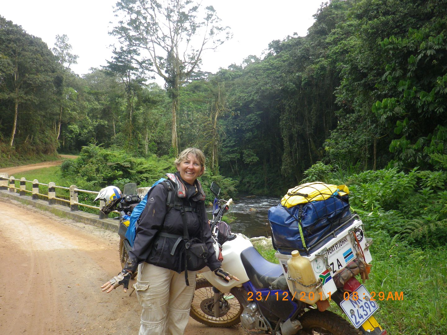
But there is always light at the end of the tunnel and we arrived at this lovely tranquil spot down at the river. All this beauty that surrounded us made up for all these little challenges.

IMGP0703.jpg


IMGP0707.jpg


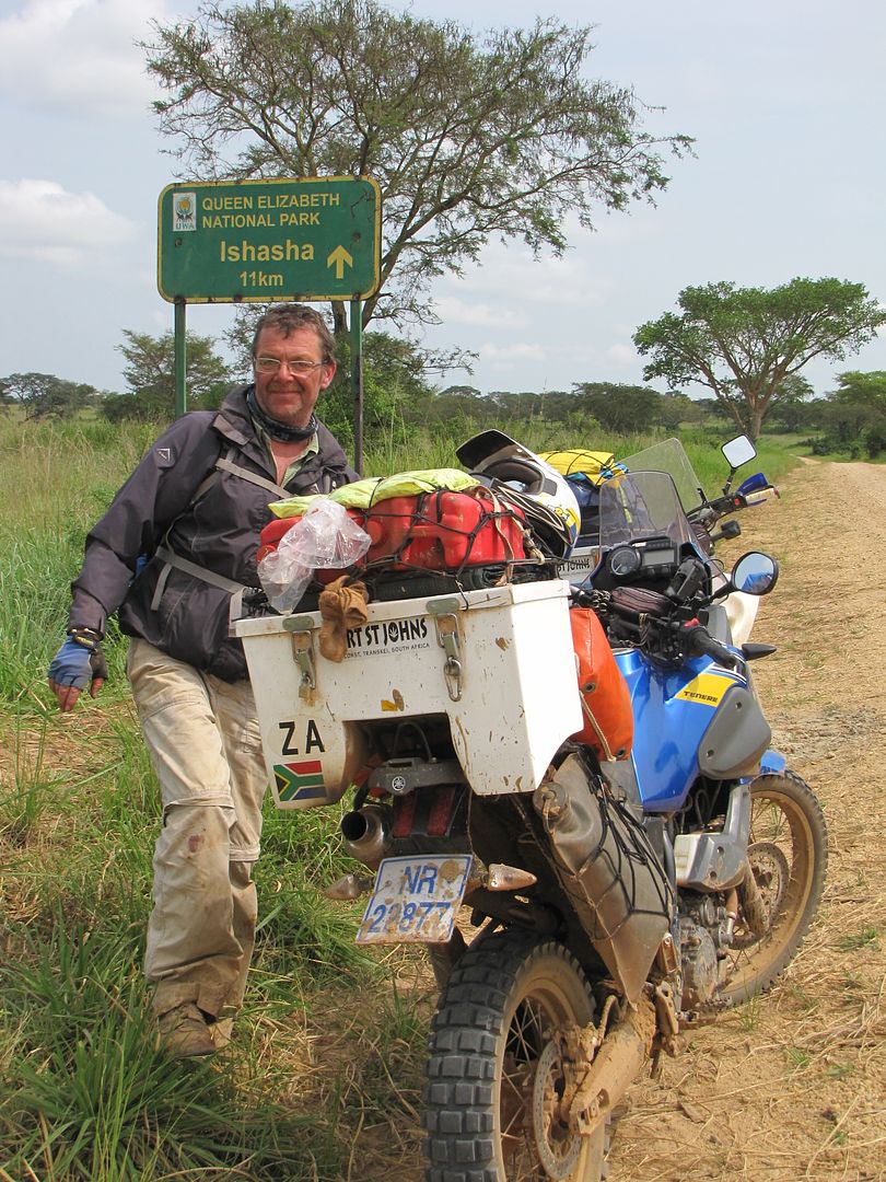
We passed the Buhoma turnoff ( another base for gorilla tracking) and headed for the Ishasha entrance to The Queen Elizabeth National Park which lies astride the equator and hugs the flat lava plains of the eastern shores of Lake Edward. This is the smallest of the Great African Lakes, 77km in length and only 40 km wide. It was named in honour of Prince Albert Edward, The Prince of Whales, later to become King Edward VII.

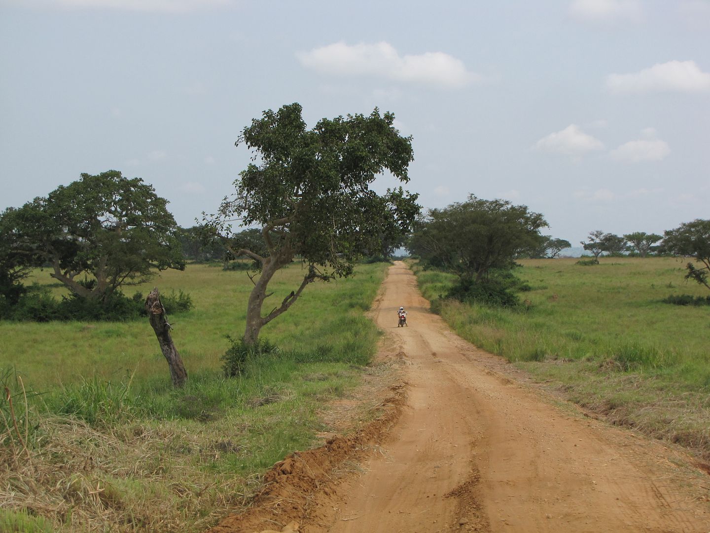
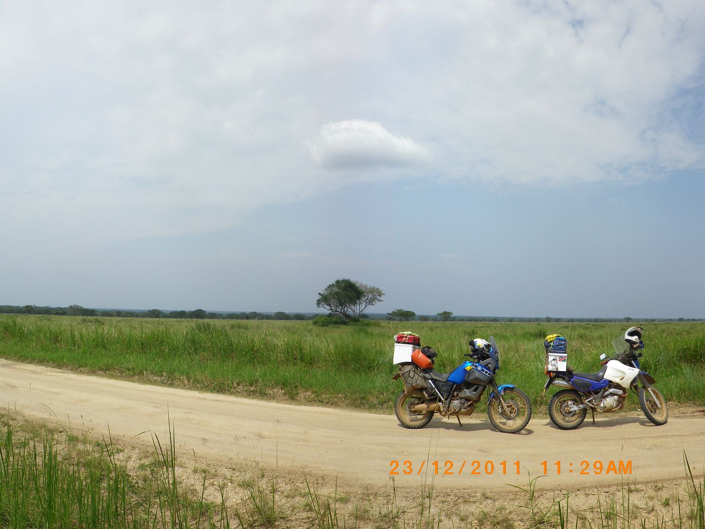
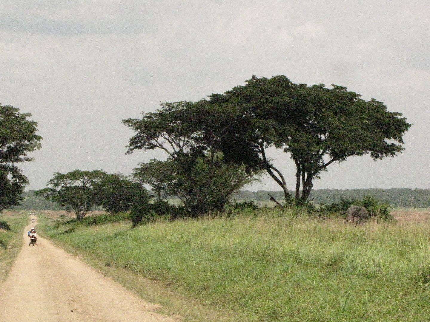
The road, which was close to the DRC border, was a good one and it led us out of the forests and hills and down to flat green grasslands and Acacia trees – Africa as we know it. These remote Ishasha plains in the southwest of the park are often over looked by tourists.

IMG_8328.jpg


IMG_8329.jpg


IMGP0717.jpg


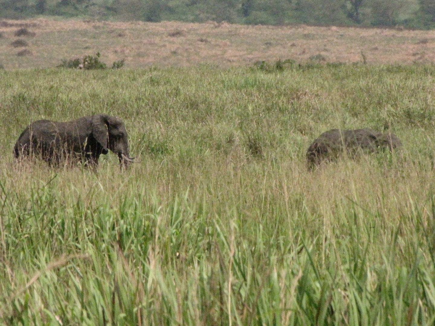
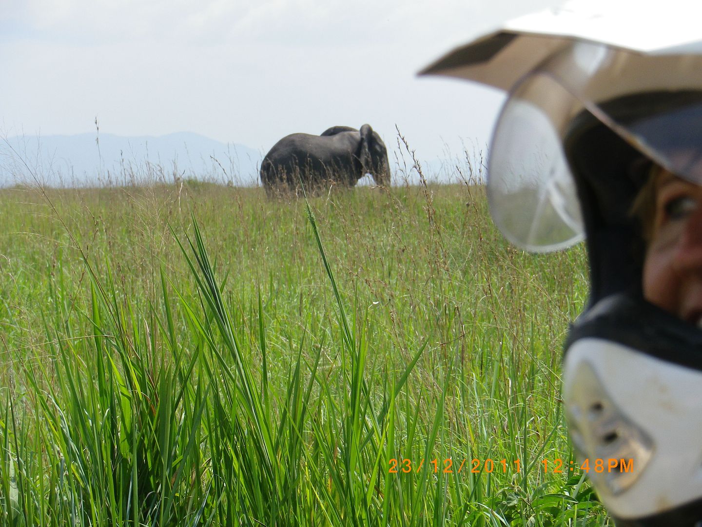
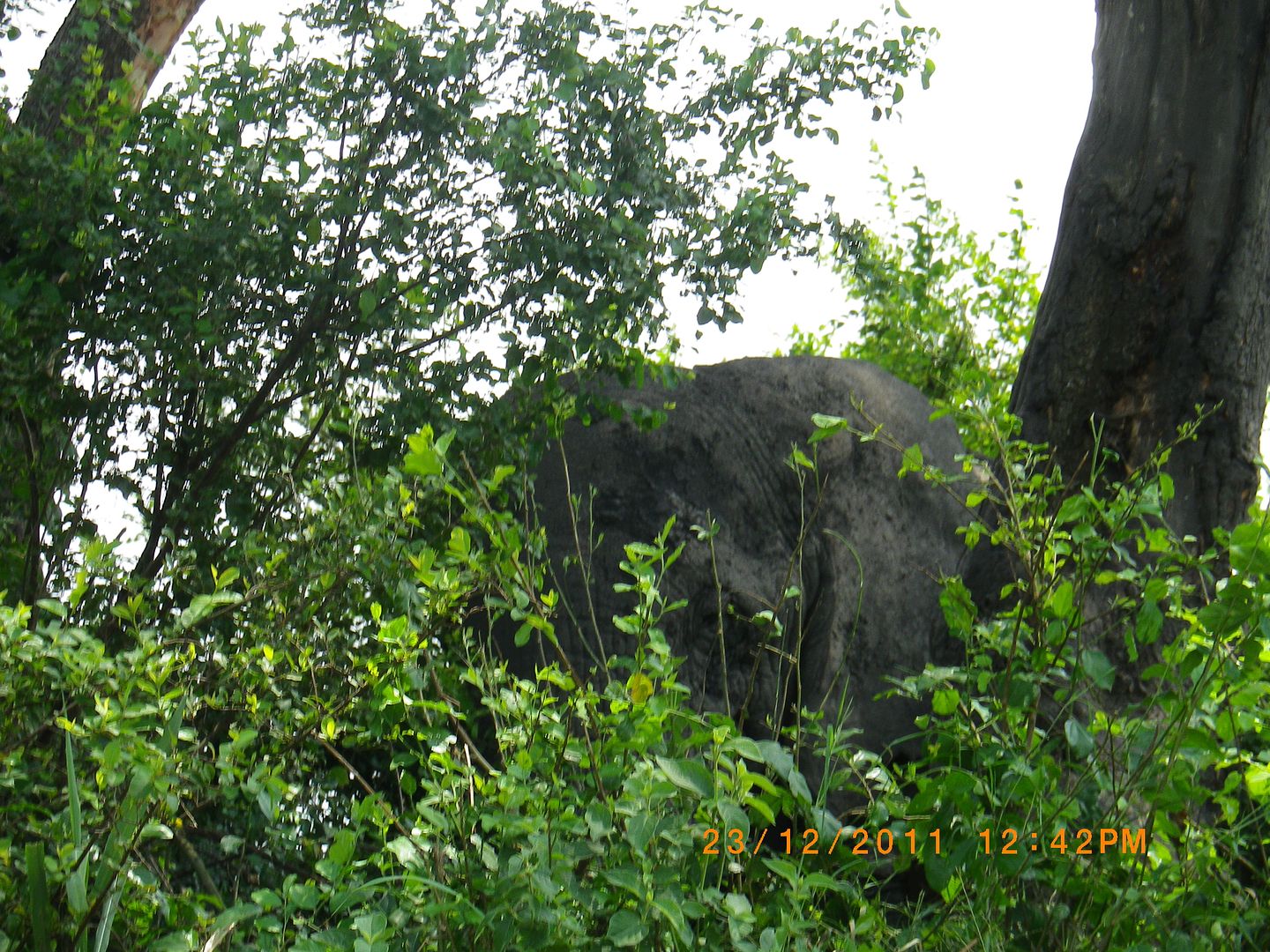
I continuously scanned the trees for any tree climbing lions that the park is well known for but saw none – not sure if it’s a good or bad thing. But we did see the ellies about half way through the reserve. This made my day.  A couple of them were resting in the shade of a tree on the side of the road.

IMG_8334.jpg


IMG_8343.jpg


IMGP0725.jpg


IMGP0724.jpg


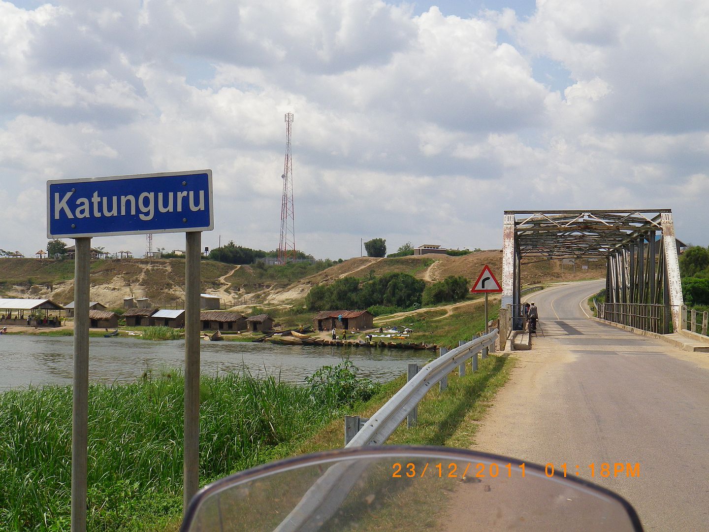
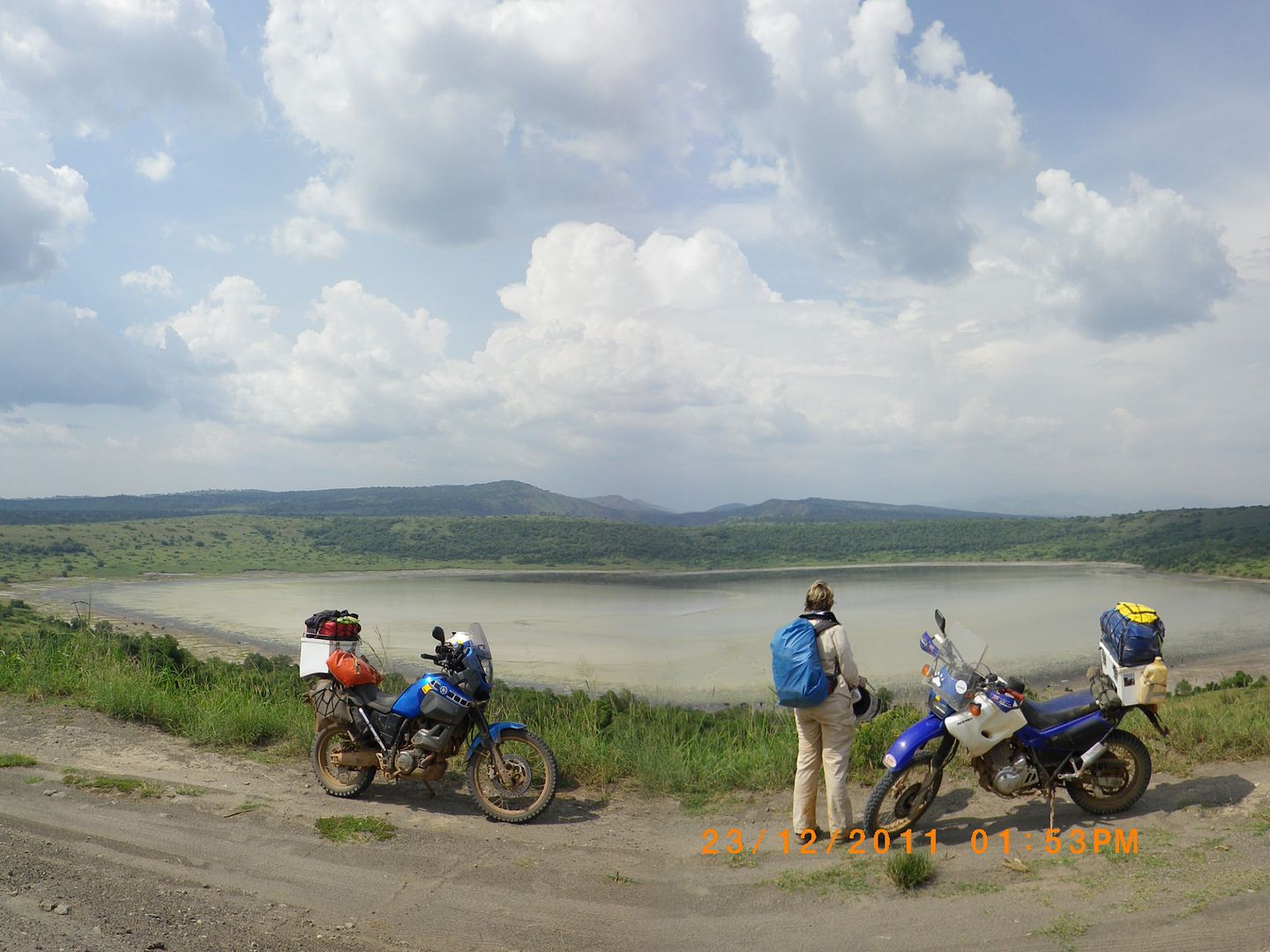
The rest of the road that leads to the tar at the Katanguru bridge made for easy comfortable riding. After crossing the Kazinga Channel that connects Lake Edward to Lake George we took the second turnoff to the MWEYA Gate and passed by a huge crater lake which is a result of volcanic explosion.

IMGP0727.jpg


IMGP0728.jpg


IMGP0732.jpg


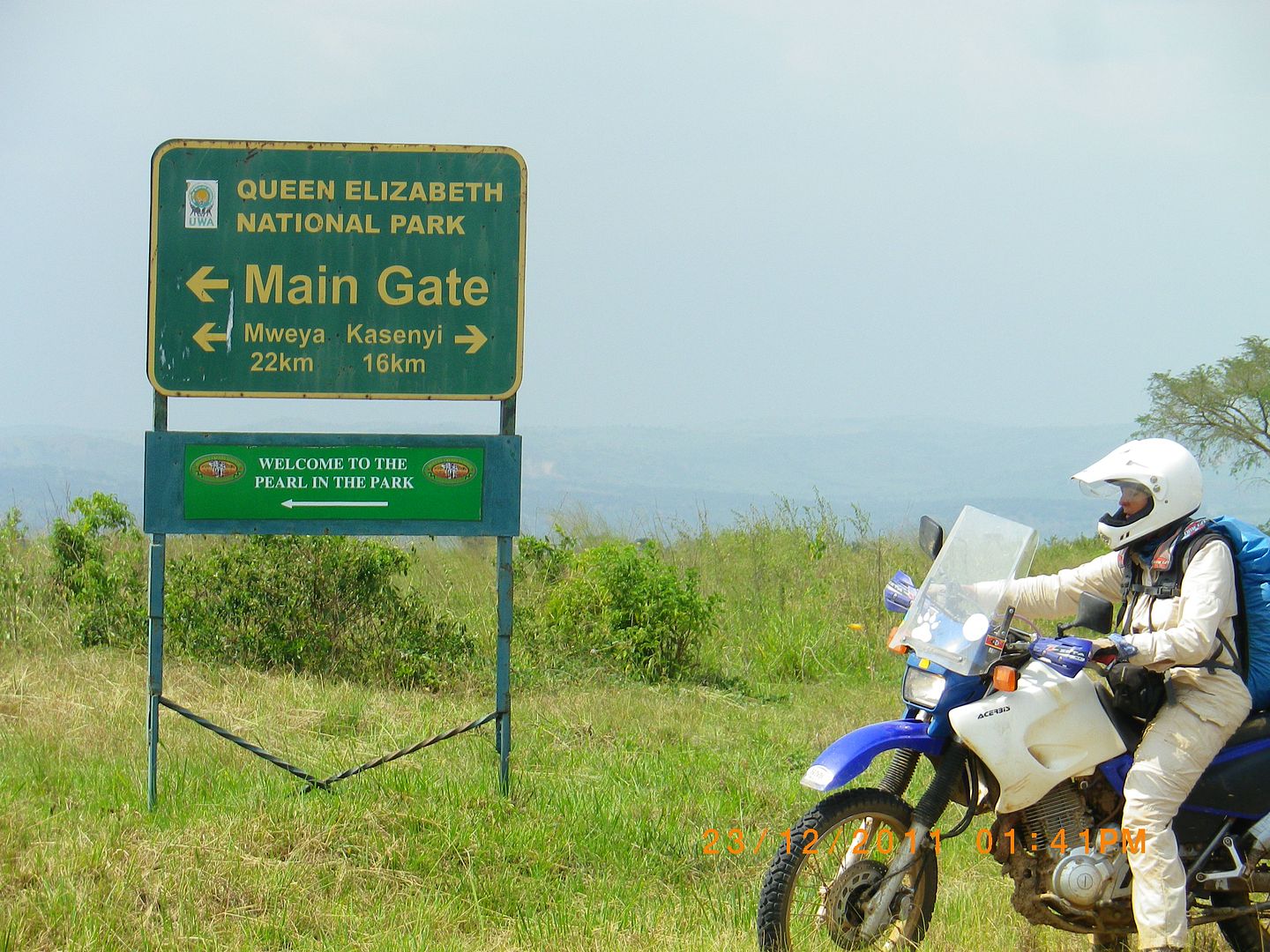
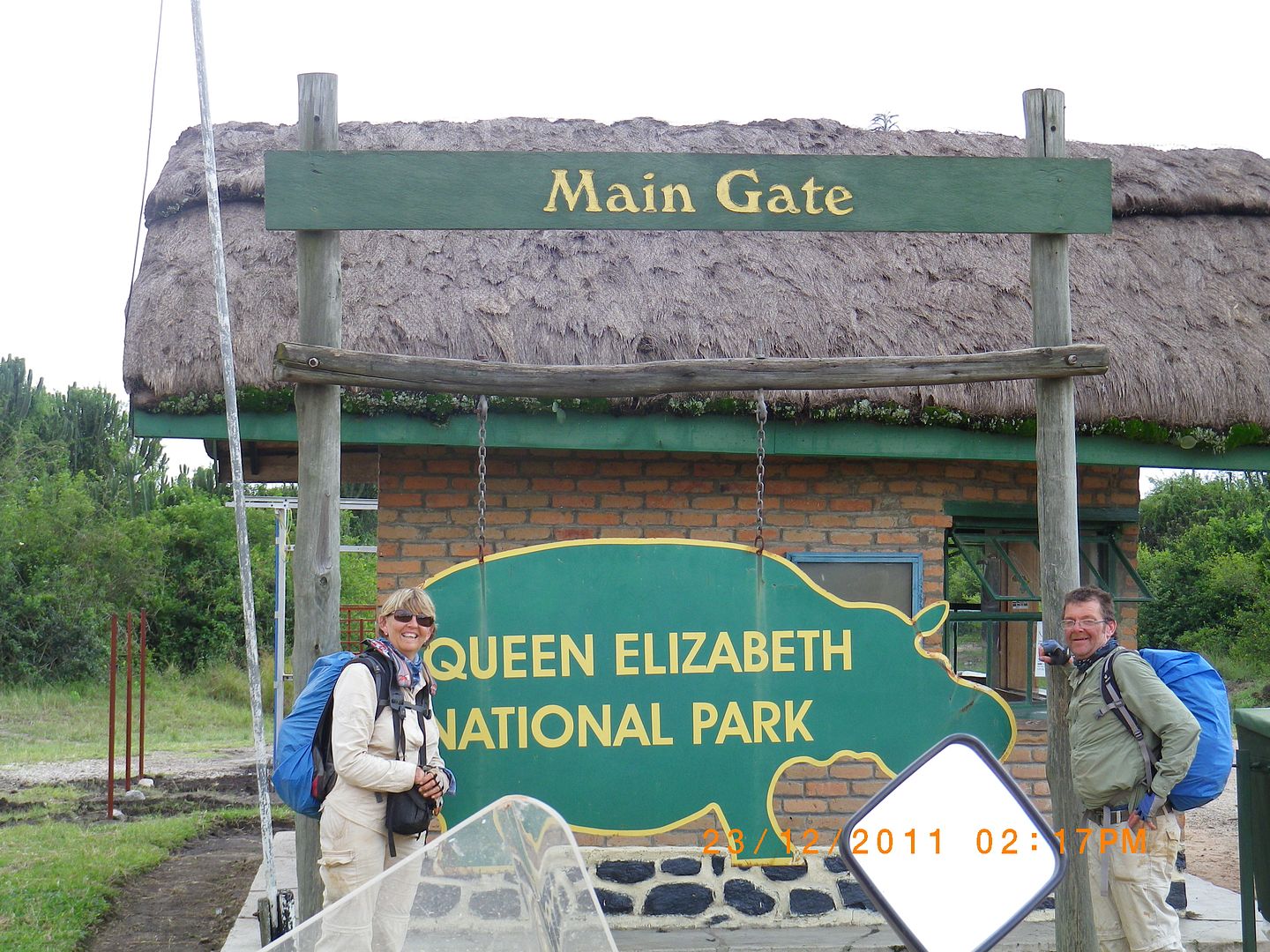
Arriving at QENP was another costly exercise.They charged us $30 each and $35 per motor bike!! That was the end of our dollars. By the way......... that is a daily fee!! So...130 USD ( R1040) poorer we rode into the Mweya Peninsular.

IMGP0734.jpg


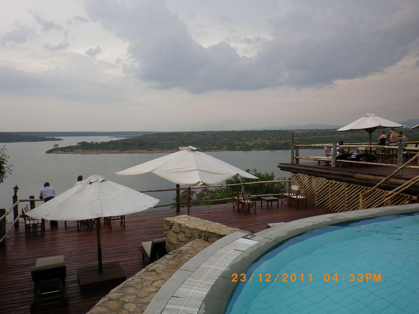
There are 3 types of accommodation here:

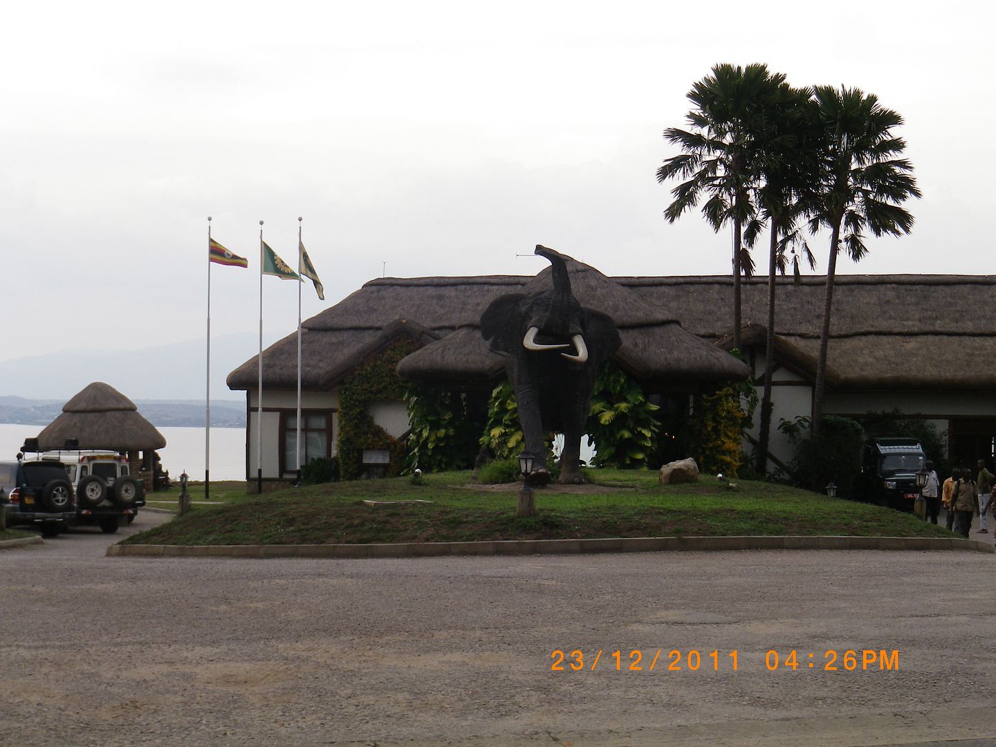
    •Upmarket :  The Mweya Safari Lodge ( very posh) – the Ugandan President, DRC President and one other important chappie were        celebrating Christmas here – hence the strong military presence.

IMGP0740.jpg


IMGP0742.jpg


IMGP0743.jpg


IMGP0745.jpg


IMGP0746.jpg


IMGP0747.jpg


IMGP0751.jpg


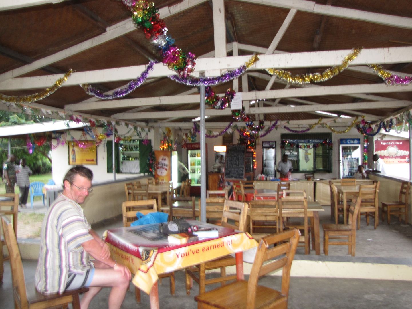
      •  Moderate: Mweya Hostel – little rooms with a shared bathroom and it had its own little restaurant that served up delicious meals and was very festive. This is where we chose to stay. It was comfortable enough.


IMG_8372.jpg


IMG_8374.jpg


IMG_8369.jpg


        •  Budget: Camping – on the edge of the peninsular. It was very dry and dusty here with very basic ablutions. In hindsight, I wish we had stayed here. Thembos Canteen, a short distance away would cater for the campers needs. This is a simple but friendly little canteen that also overlooks the Kazinga Channel with lovely views of wildlife on the opposite banks.

IMG_8360.jpg


IMGP0737.jpg


IMGP0736.jpg


IMGP0738.jpg


It would have been nice to do a boat trip up the channel but we arrived too late in the afternoon and we needed to make an early start the next day. A real pity as the game viewing was apparently stunning.

We met up with a mother and her 3 daughters from the Western Cape and they had ditched Dad in South Africa and were touring Uganda. It’s really great meeting up with so many interesting folk.

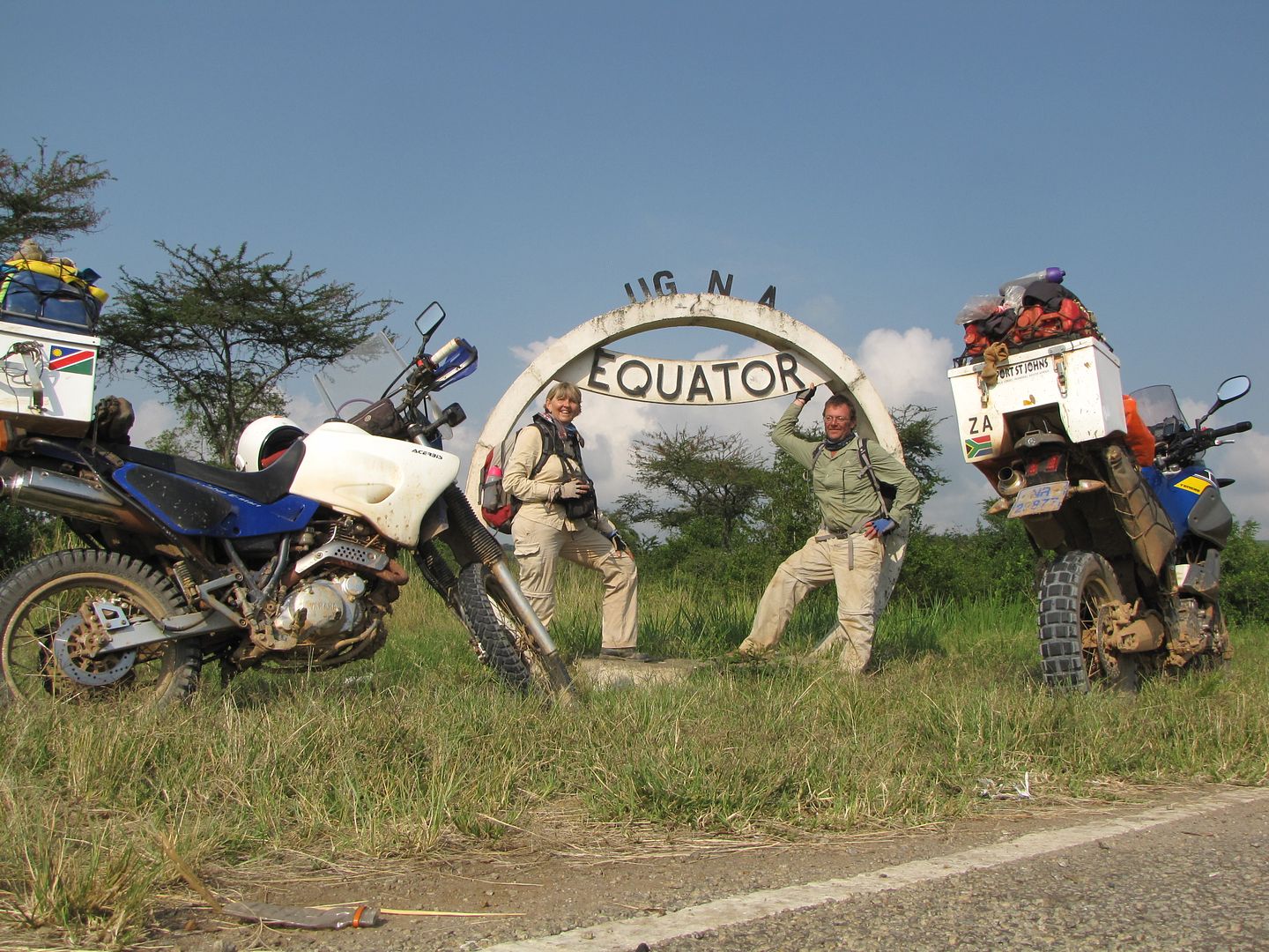
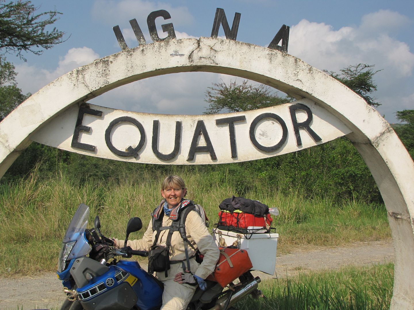
We headed off to bed after a lovely days ride and were excited about crossing over the equator into the northern hemisphere the following day.
 
QUEEN ELIZABETH NATIONAL PARK to HOIMA

Day 15:  24 December 2011
Distance: 340 km
Time: 8.00am – 5.30 pm


Slip sliding away, slip sliding away
You know the nearer your destination,
The more you slip slide away.”


                                                Simon and Garfunkel


IMGP1298.jpg


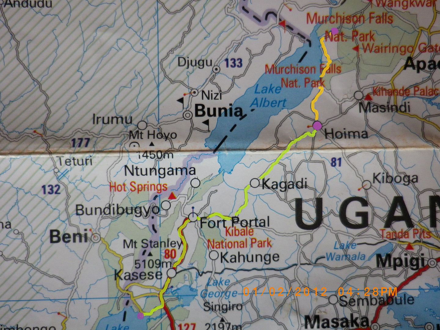
ROUTE FOLLOWED FOR THE NEXT TWO DAYS


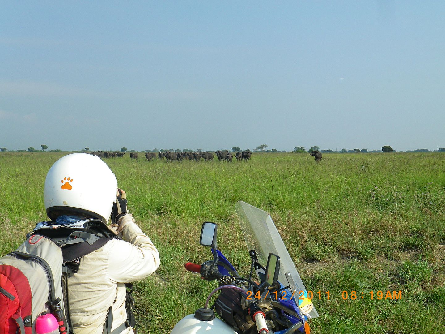
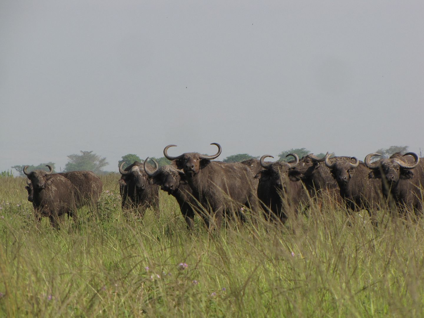
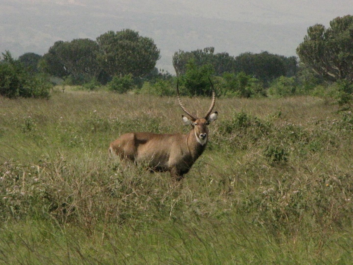
We tried for an early getaway but for some unknown reason my bikes battery was flat. We made a plan to jump start it from the Tenere and in no time we were on the road. We were fortunate to see some curious buffalo and Waterbuck. They had a good look at us before becoming bored and moving off.

IMG_8376.jpg


IMGP0754.jpg


IMG_8378.jpg


IMG_8355.jpg


Finally...........the Equator! A first for both of us.....hopefully not the last. I couldn’t believe that we had come this far.

IMG_8382.jpg


IMG_8386.jpg


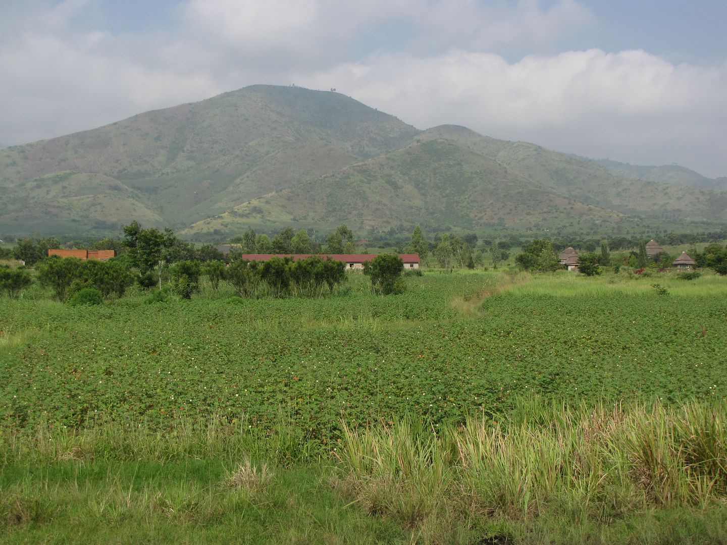
The road to Kasese was divine, tar all the way with pretty cotton fields on the left and Lake George on the right. At Kasese we drew cash and refuelled.


IMG_8388.jpg


IMG_8390.jpg


IMG_8391.jpg


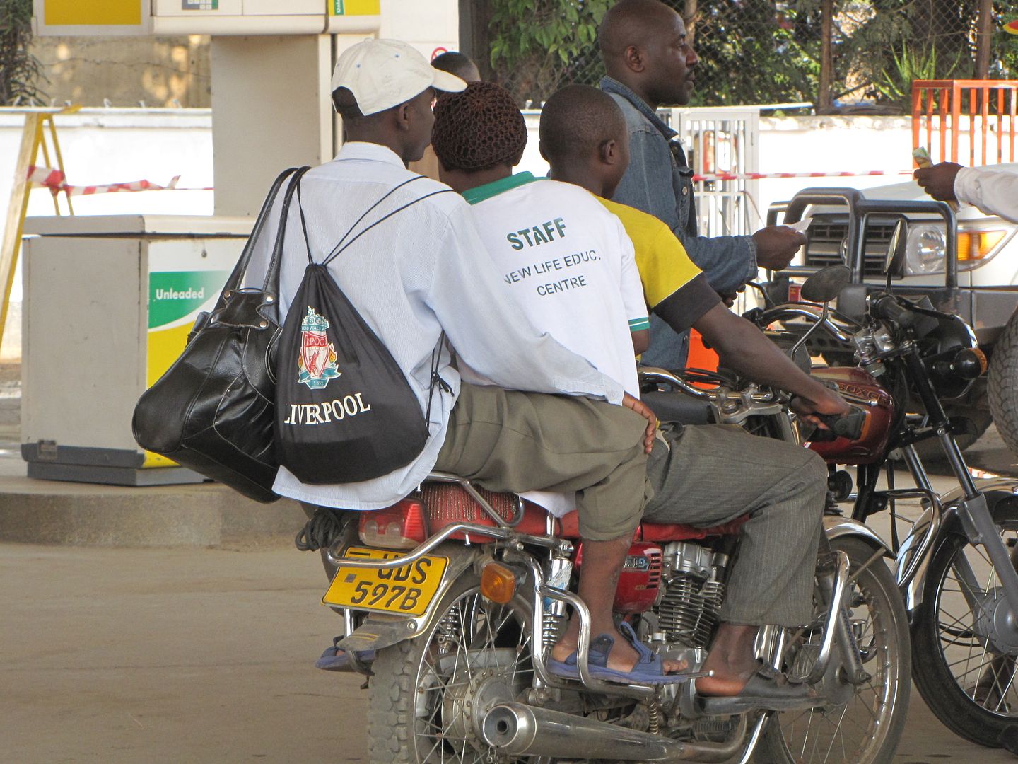
3 UP ON A BODA-BODA?!?


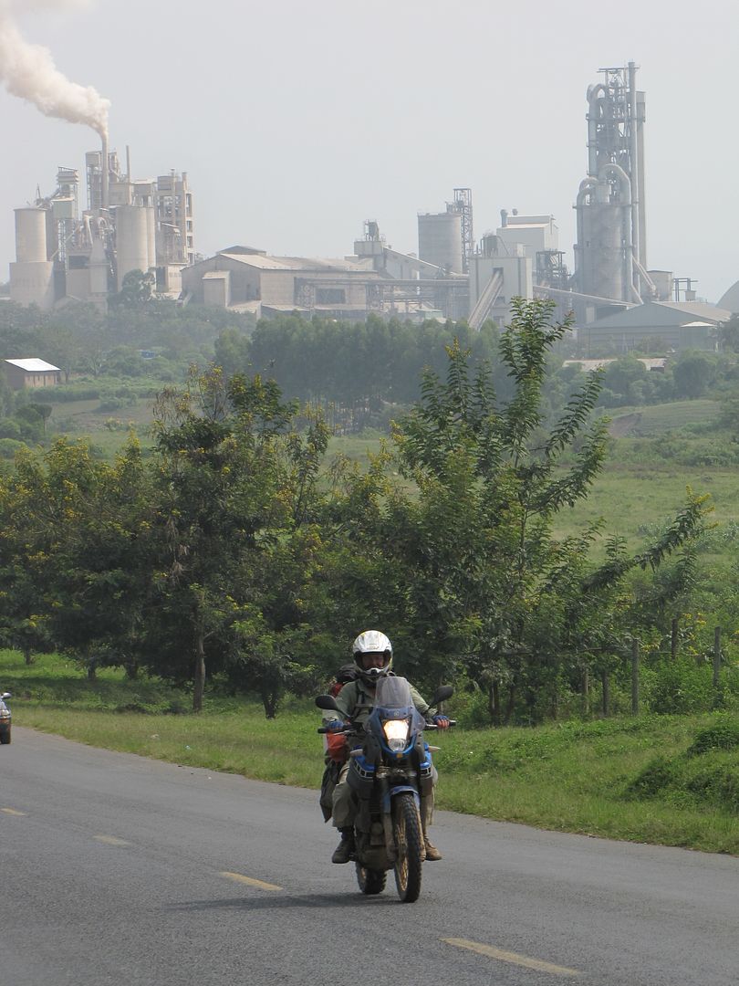
Heading north towards Hima we passed ‘a blot on the landscape’......the cement factory belching out smoke. Clearly, we were heading for civilization.

IMG_8400.jpg


IMGP0757-1.jpg

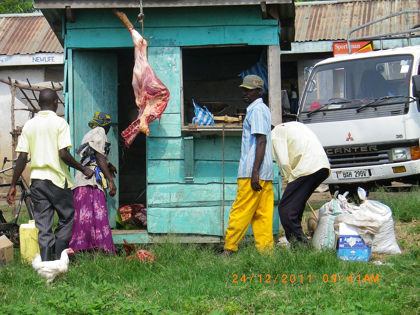
HOW GROSS......A COMMON SIGHT.


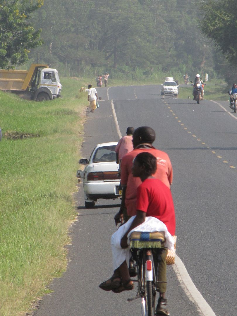
After riding through some rain we arrived in the busy town of Fort Portal at about 11.00 am. It was buzzing with activity and it was difficult to stop and take photos as there were so many people and bicycles but we got a few shots. It looked a very attractive place.


IMGP0759.jpg

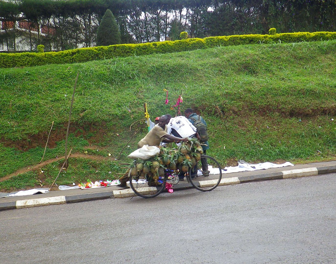
CHECK OUT THE PINEAPPLES.

IMGP0760.jpg


IMGP0763.jpg


The Rwenzori Mountains, being the highest mountain range in Africa, runs for almost 120 km along the Congolese border just west of Kasese and Fort Portal. These mountains rise directly from the Rift Valley floor.

We headed east for about 47 km passing by acres and acres of tea plantations. At Kyenjojo we turned left and headed north again on a dirt road taking in some interesting sights.


IMG_8402.jpg


IMG_8401.jpg


IMG_8403.jpg


IMG_8404.jpg

HOW IS THAT TAIL HANGING DOWN????


Top