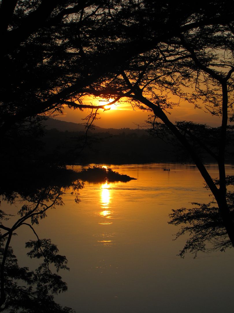
RIDING the RIFT ~ East Africa 2011

This site may earn a commission from merchant affiliate links, including eBay, Amazon, and others.
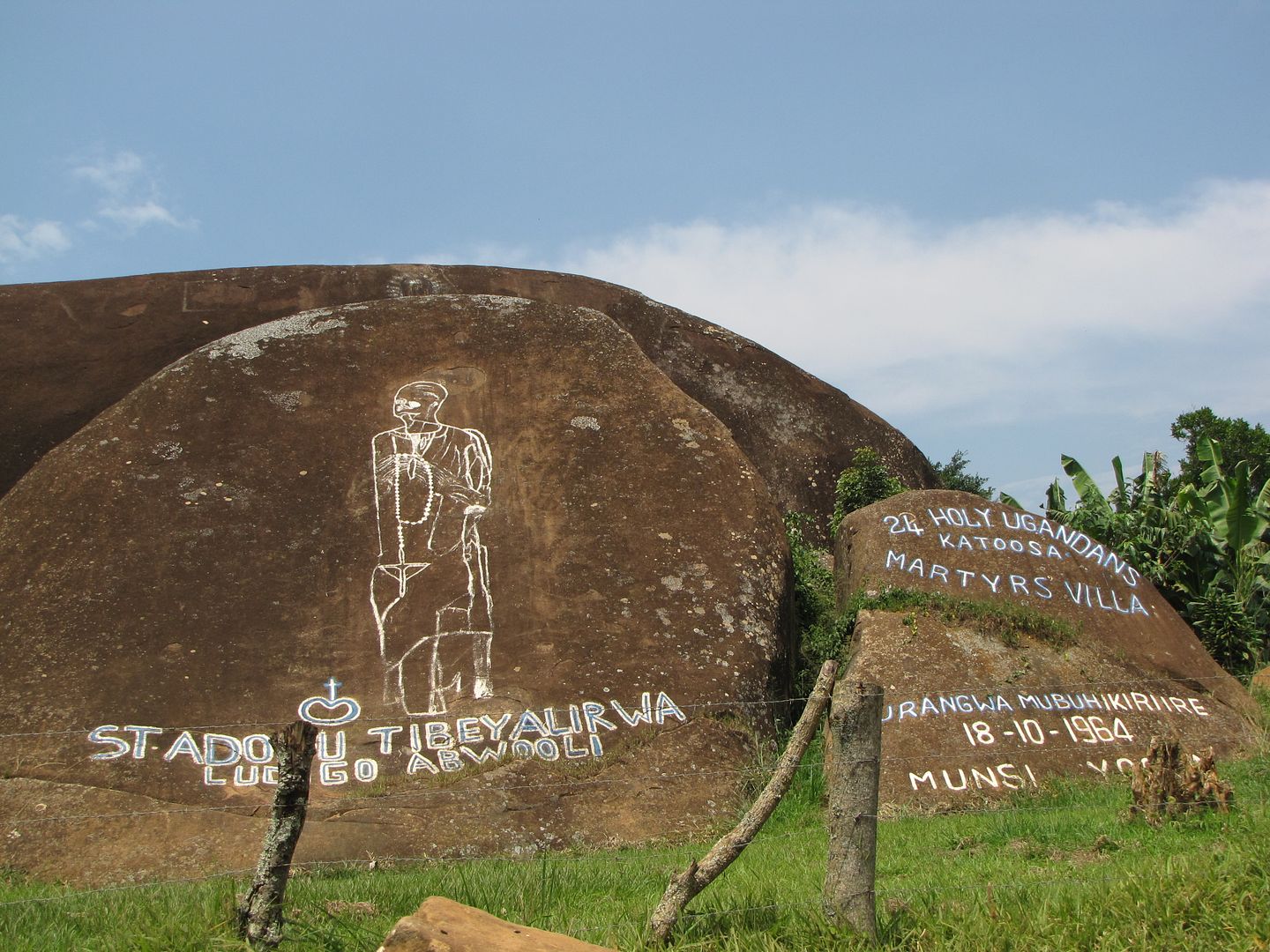
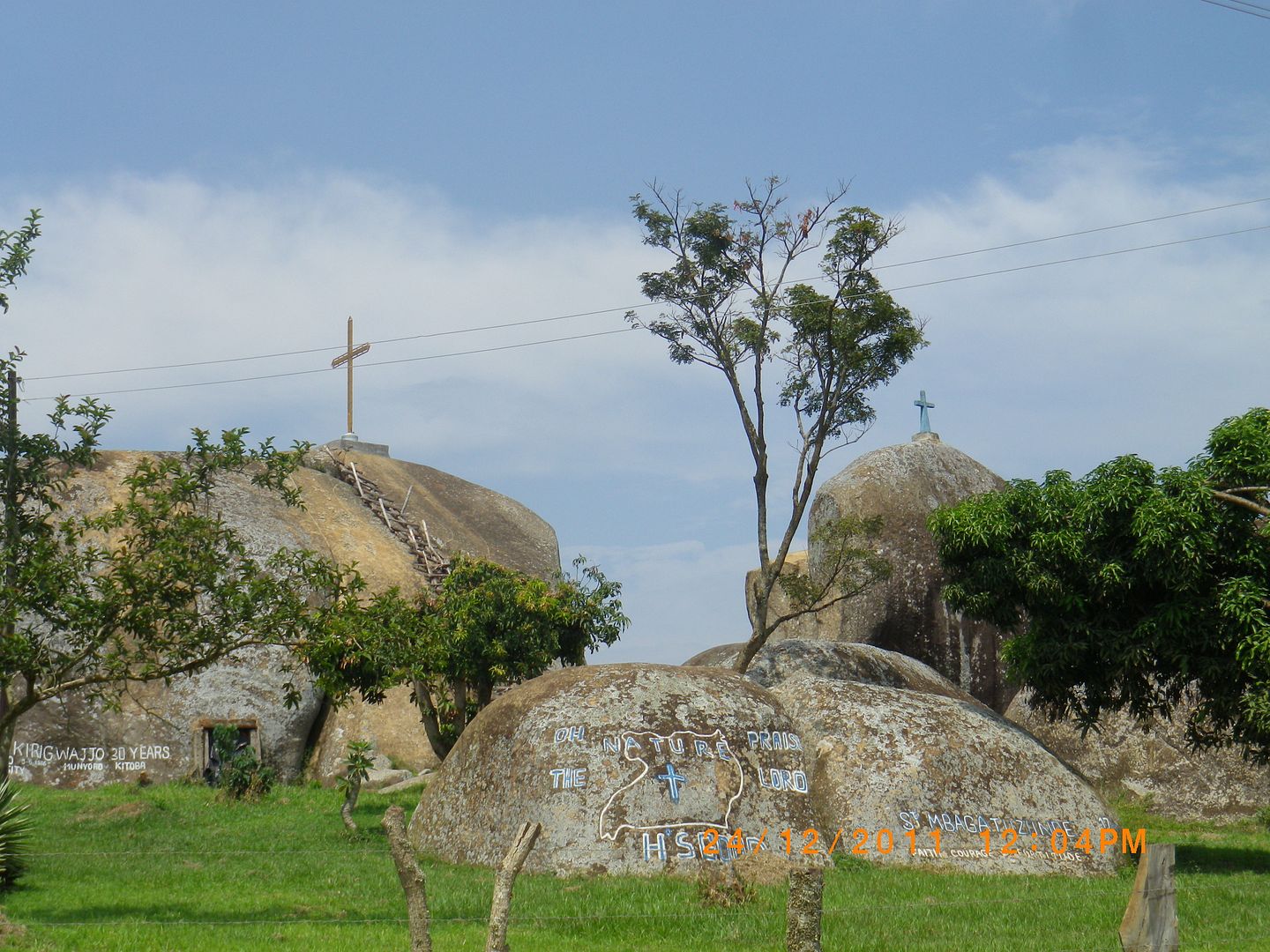
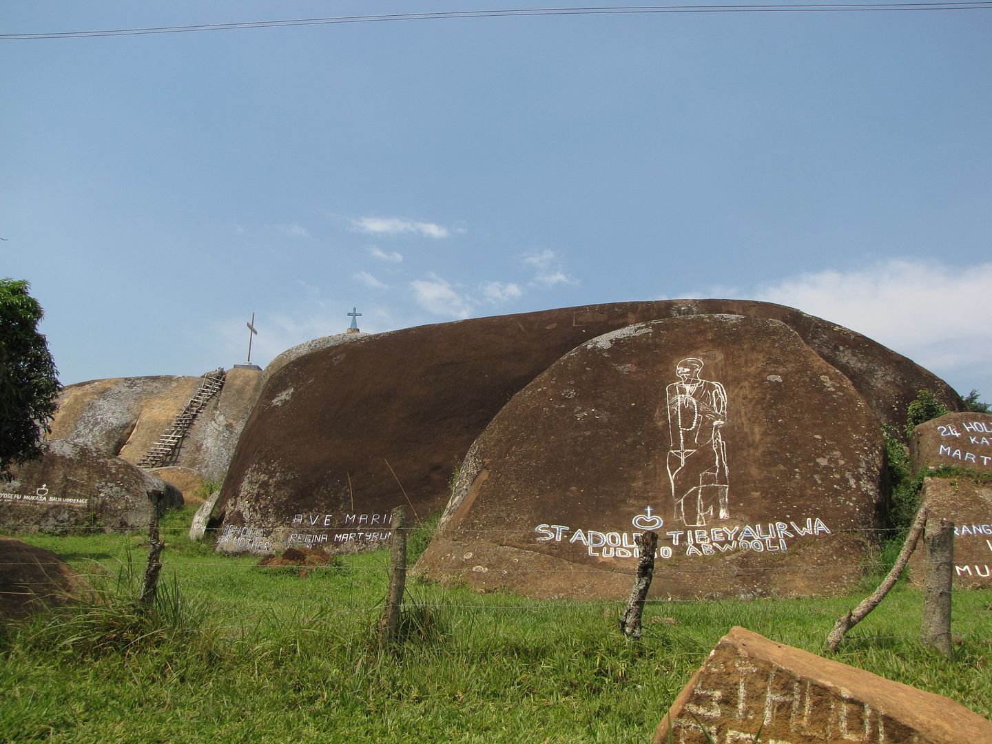
Shortly after this we came across some amazing mounds of rock that were engraved and painted with the names of saints and other inscriptions, some in a foreign language. With the crosses on top one would guess it’s a place of worship.  I have tried to ‘ google’ some information about this site but there is nothing available. I would be delighted if there are any readers who can shed some light on this intriguing place.
IMGP0765.jpg


IMG_8406.jpg


IMG_8407.jpg


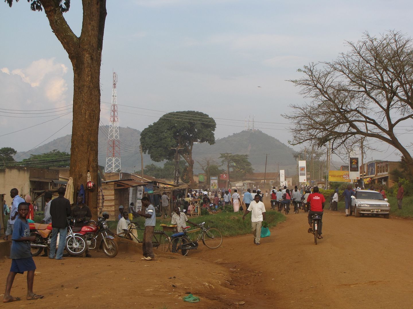
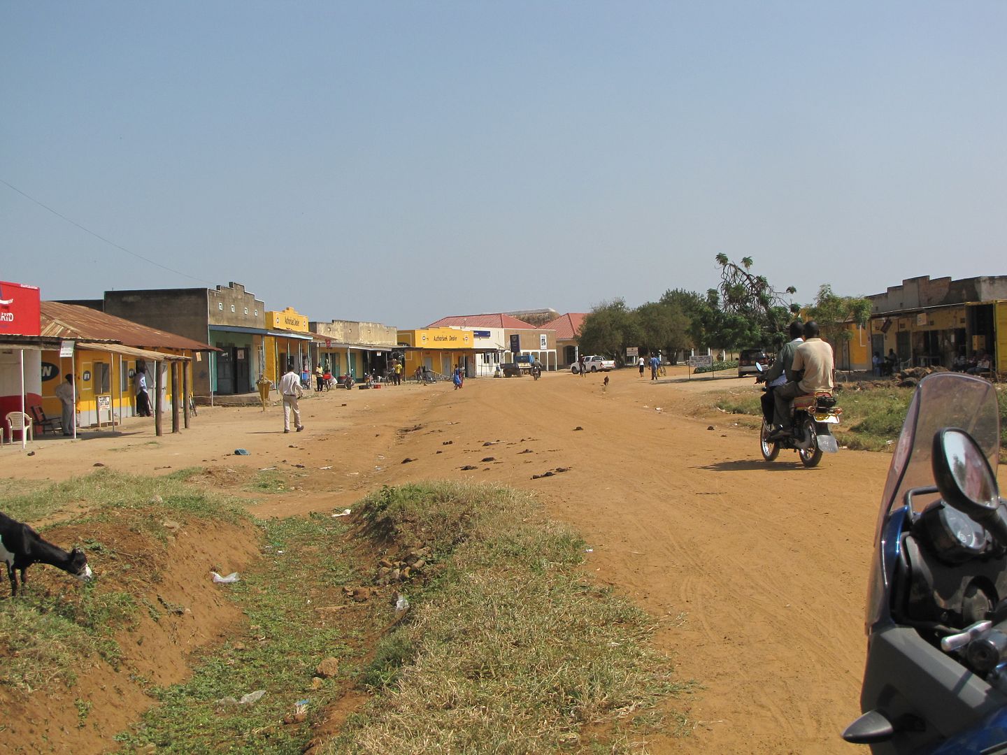
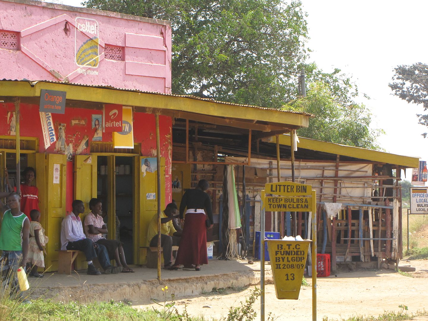
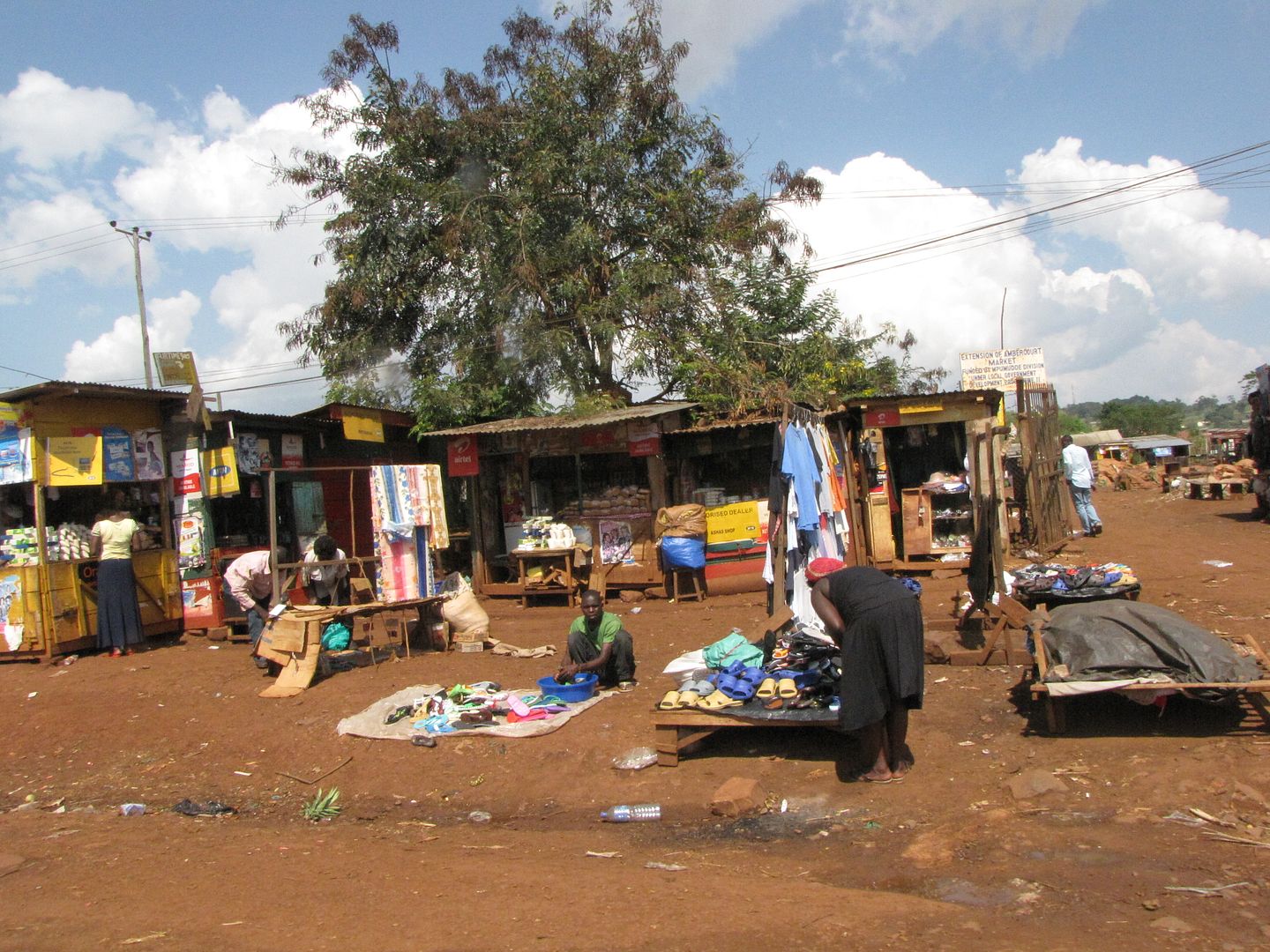
By now it was lunch time and we were hot and tired. Initially the going was good but then it became just like every other day on the dirt road. Village flowed into village, each with their brightly coloured  shop fronts, the blue Uganda Telkom, the red Airtel and the yellow MTN.

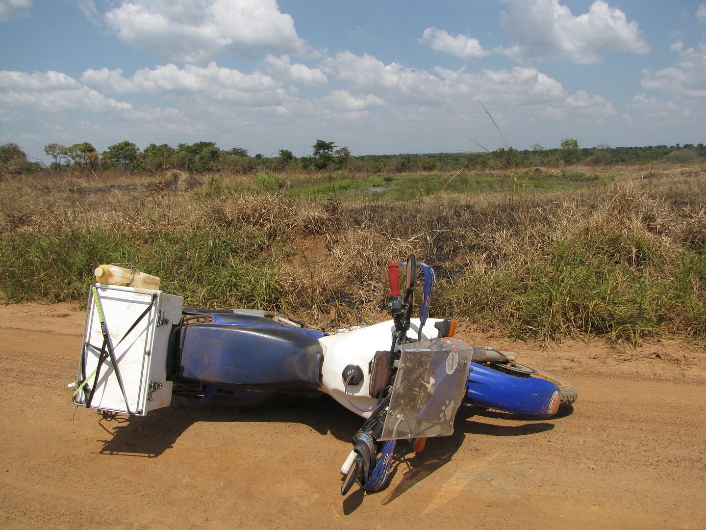
I dropped my bike down one slippery section and a kind lady passing by helped me to pick it up. Kingsley had to get out of the way of an oncoming vehicle and he also ended up slipping and falling over. By the time we arrived at the turn off to Lake Albert lodge we were exhausted and unsure of heading off to the lake which was about another 26 km in a westerly direction. We finally decided to go for it, but 5 km later changed our minds, as we were progressing at no more than a walking pace.

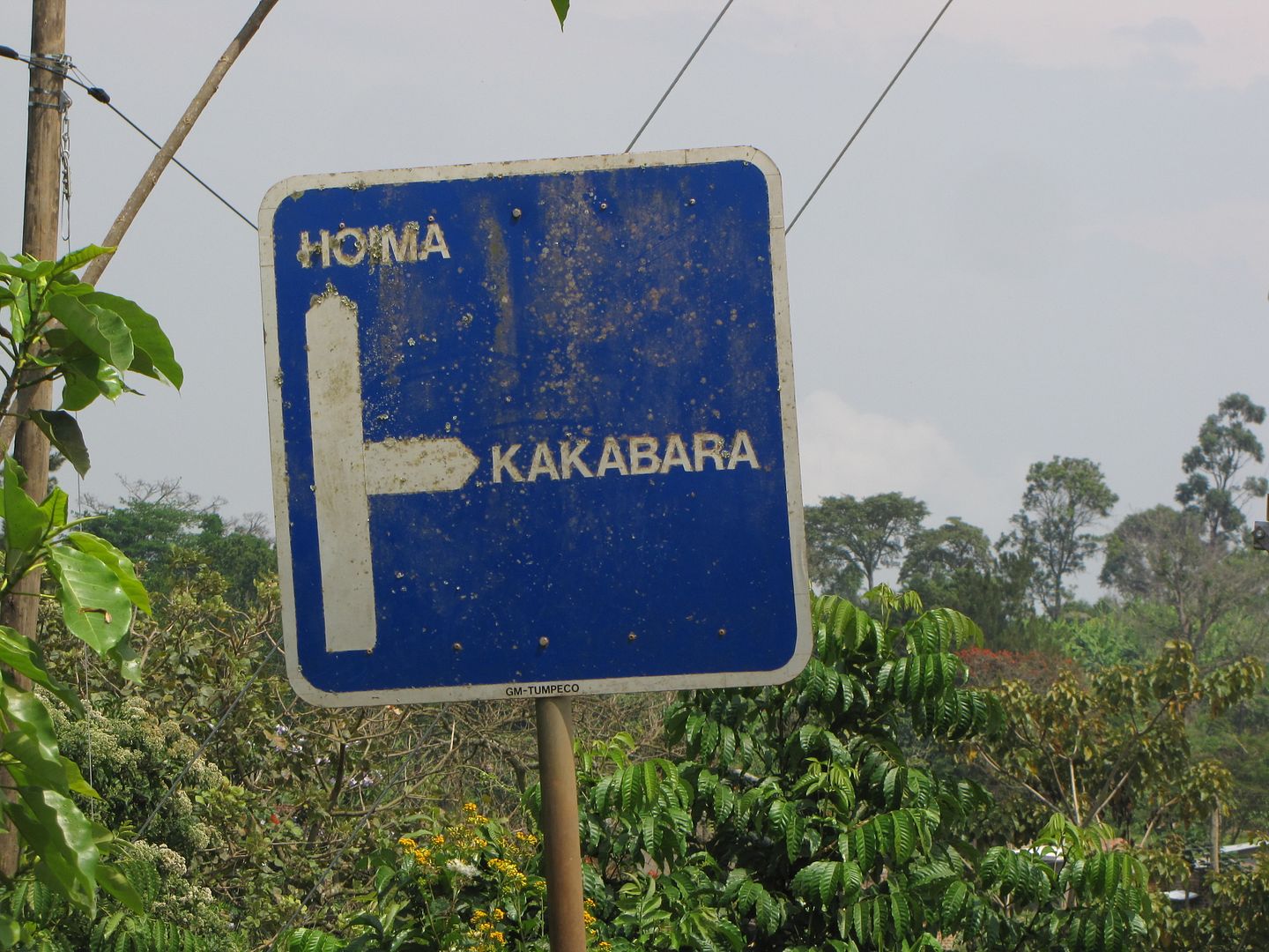
The roads were of hard compacted clay, extremely wet and slippery, although the road surface was smooth and undamaged, we were totally out of our depth, even the normal camber seemed too much for us.  The only way forward was in first gear with both  feet on the ground.  The little boda-bodas, with their smooth tyres, were handling it better than we were and seemed to be moving along just fine .According to one of the locals these conditions continued all the way to the lake. I was not going to continue as we would also have to ride back on this road the following day. We reached a point that our only concern was for food and shelter, so we turned around and headed for Hoima, too wet and tired to worry about the change of plans or taking photos.
IMG_8408.jpg


IMG_8409.jpg


IMG_8412.jpg


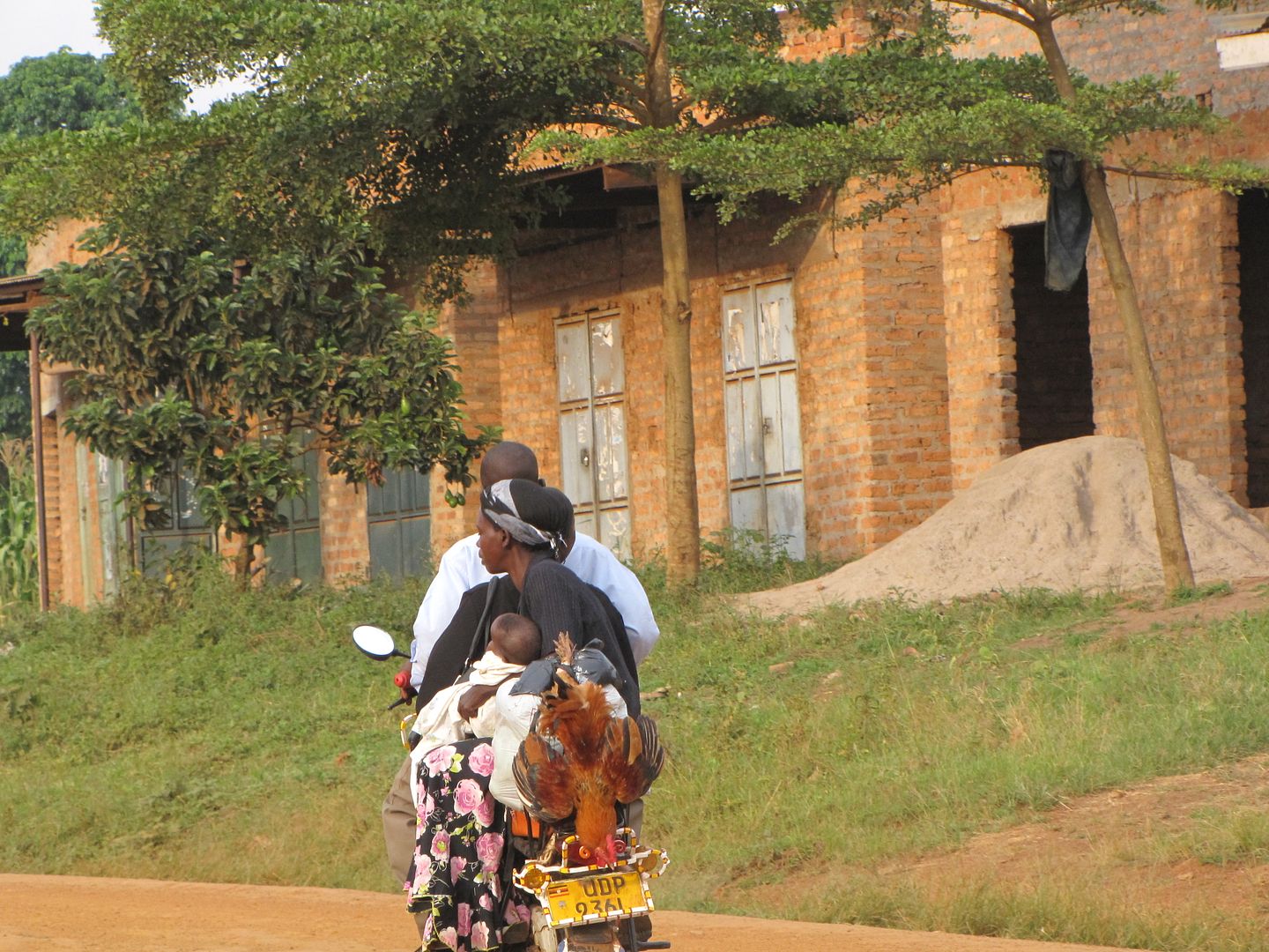
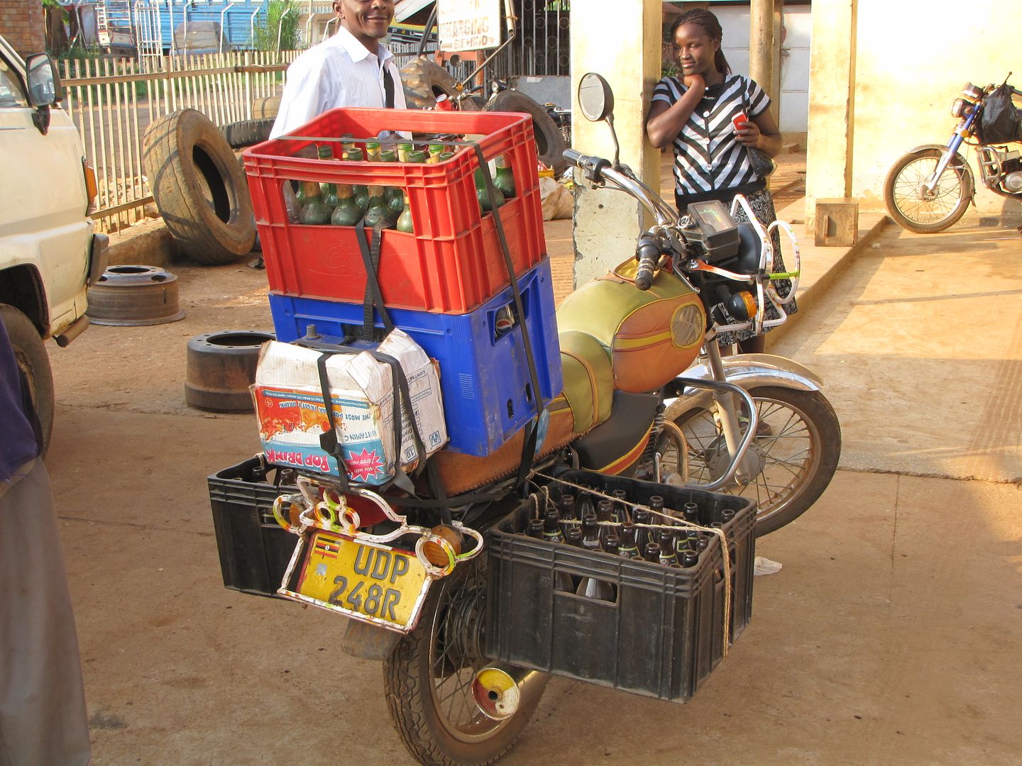
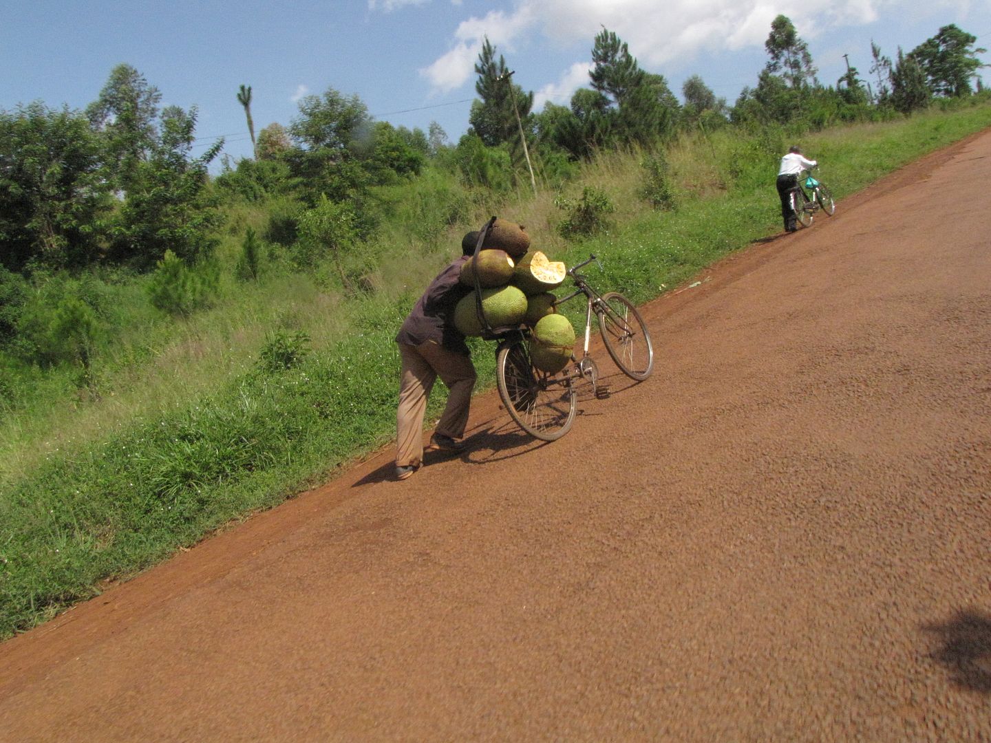
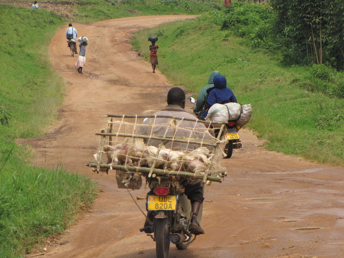
CHRISTMAS DINNER HANGING ON THE BACK!

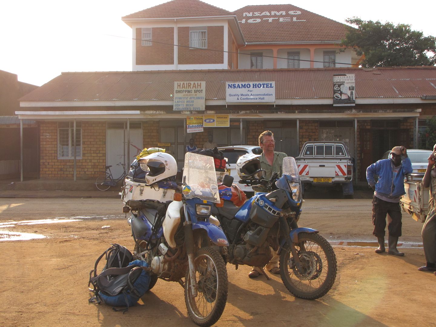
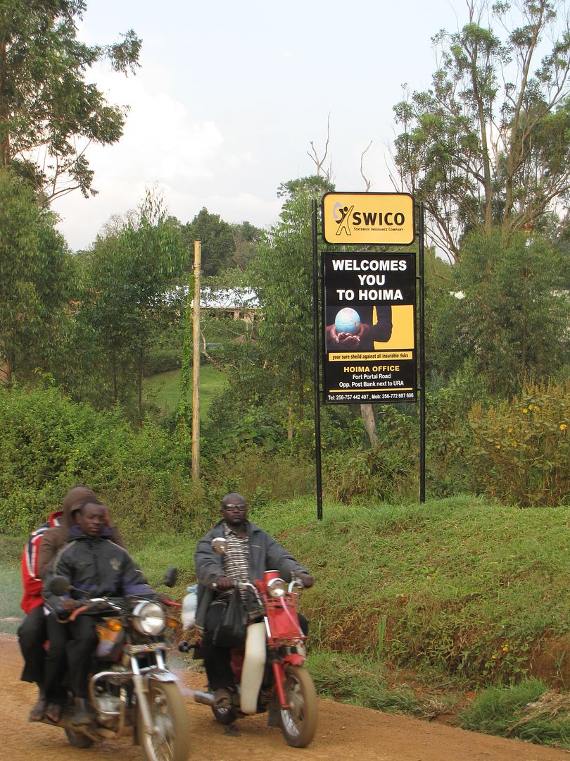
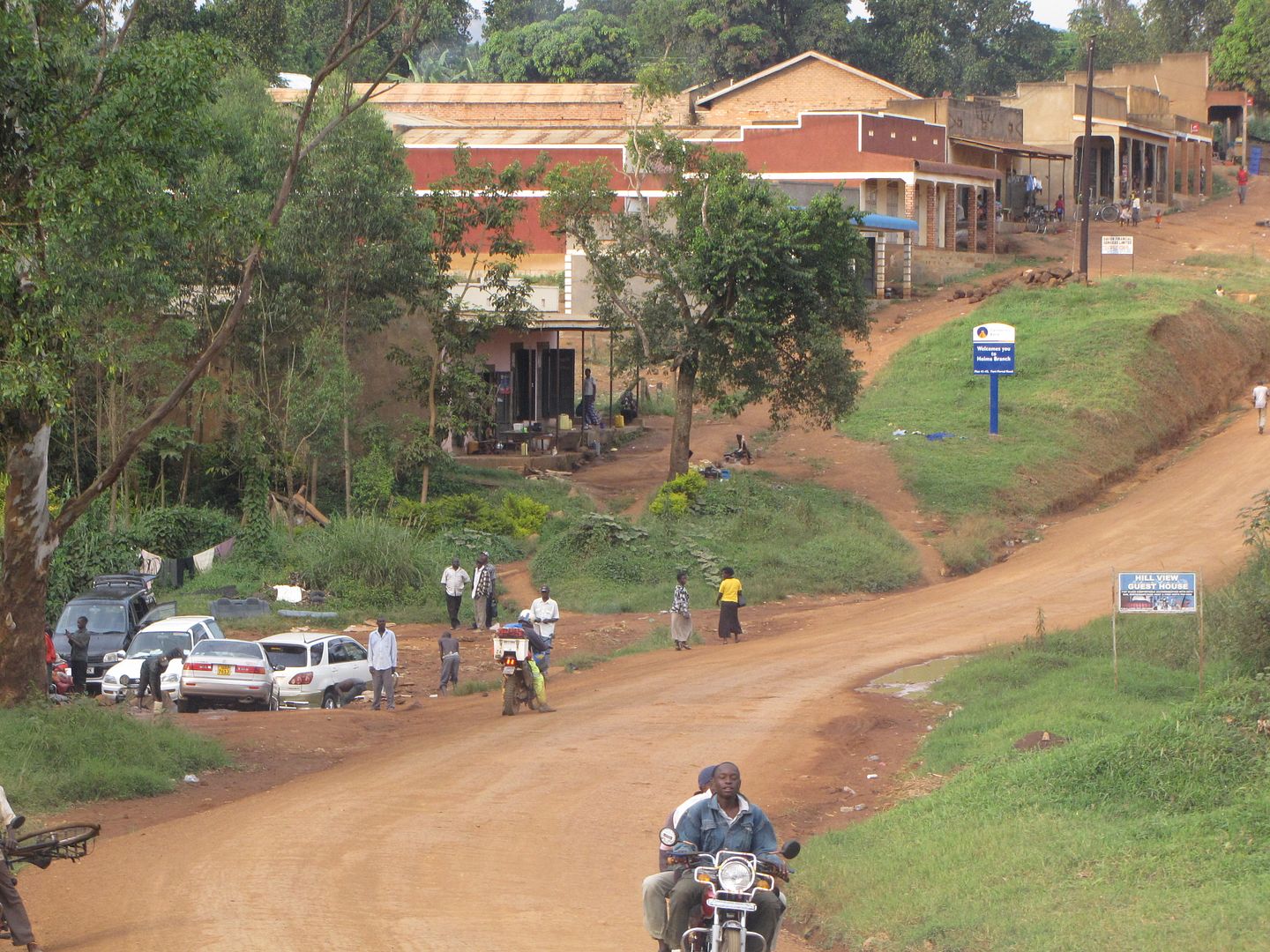
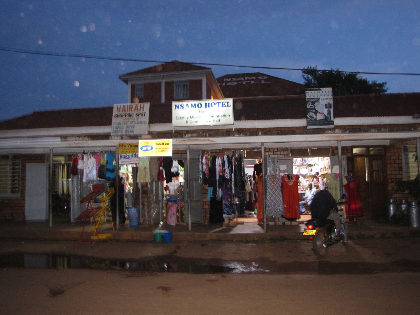
We arrived early evening and settled for the first accommodation we came across which was the Nsamo Hotel.
IMG_8413.jpg


IMG_8414.jpg


IMG_8416.jpg


The entrance was a narrow doorway through which we had to manoeuvre the bikes into a tidy little courtyard. It was Christmas eve and there was a lot of excitement and activity out on the streets. Music was blasting out down the roads competing with all the loud voices.
IMG_8423.jpg

THE FRONT OF THE HOTEL

IMG_8420.jpg

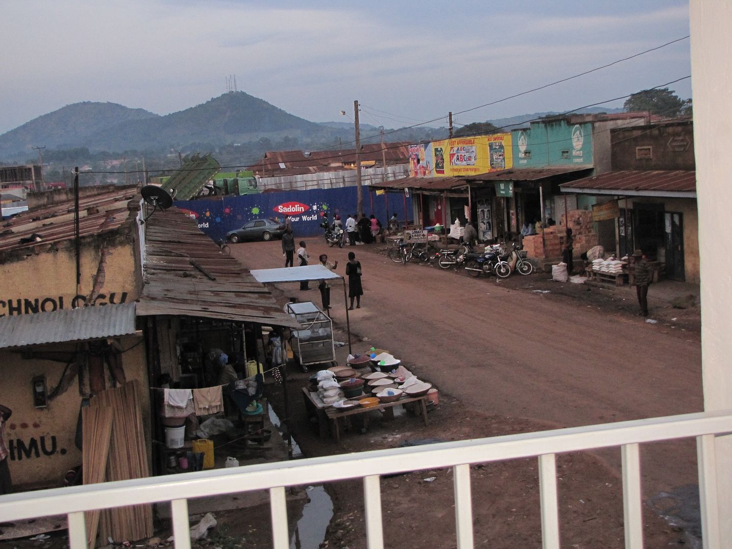
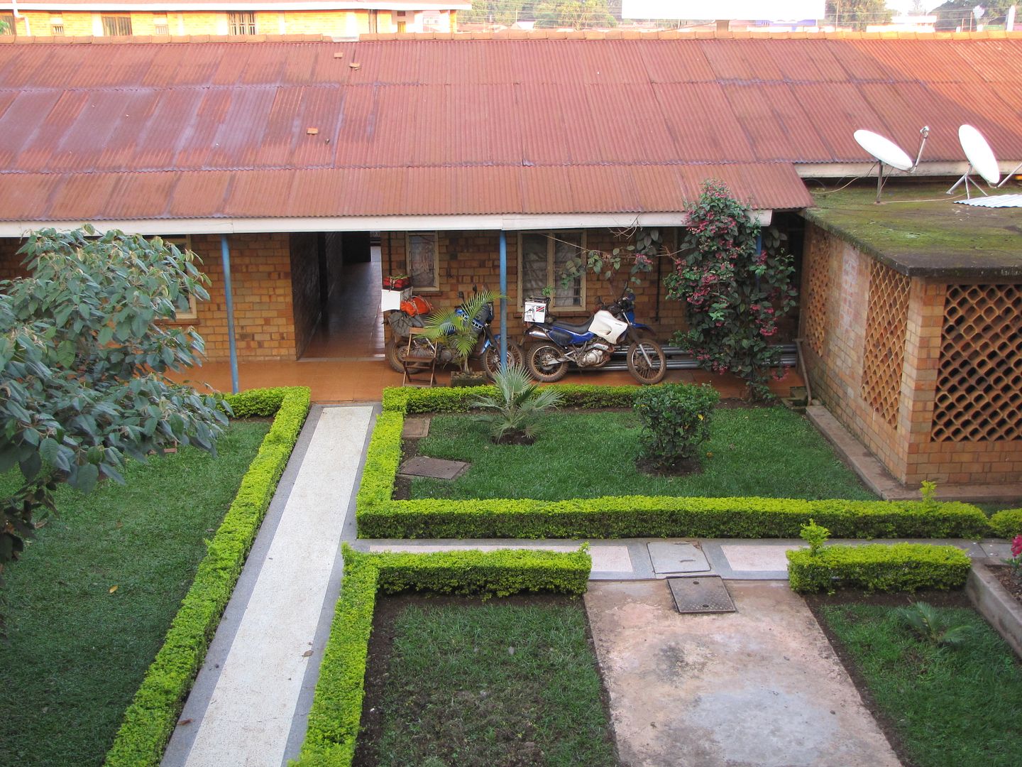
A ROOM WITH A VIEW........THE BACK OF THE HOTEL!!!

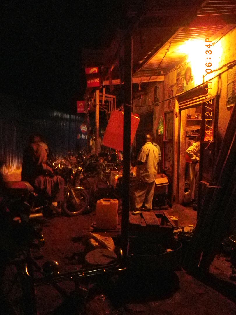
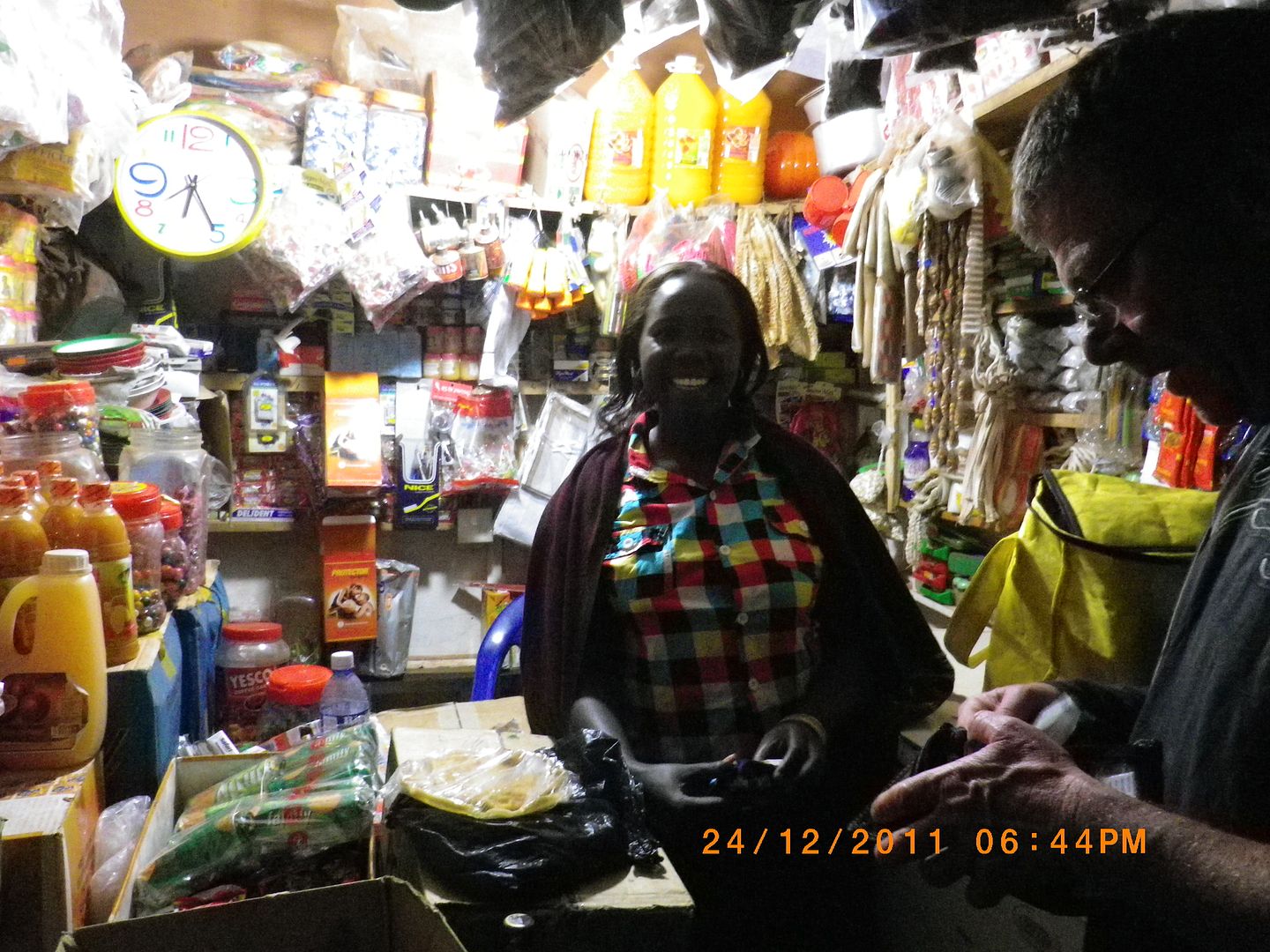
Once we had settled into our little room it was dark and we were starving, so we hit the street to find something to eat. Strangely enough, at no time did we feel uncomfortable or threatened. The alleys were very busy with many small semi- formal traders who all seemed to be selling the same goods. We must have stood out like sore thumbs, being the only white faces out on the street on Christmas eve.
IMGP0771.jpg


IMGP0774.jpg


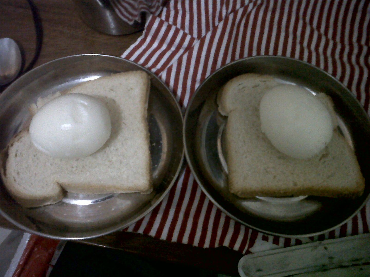
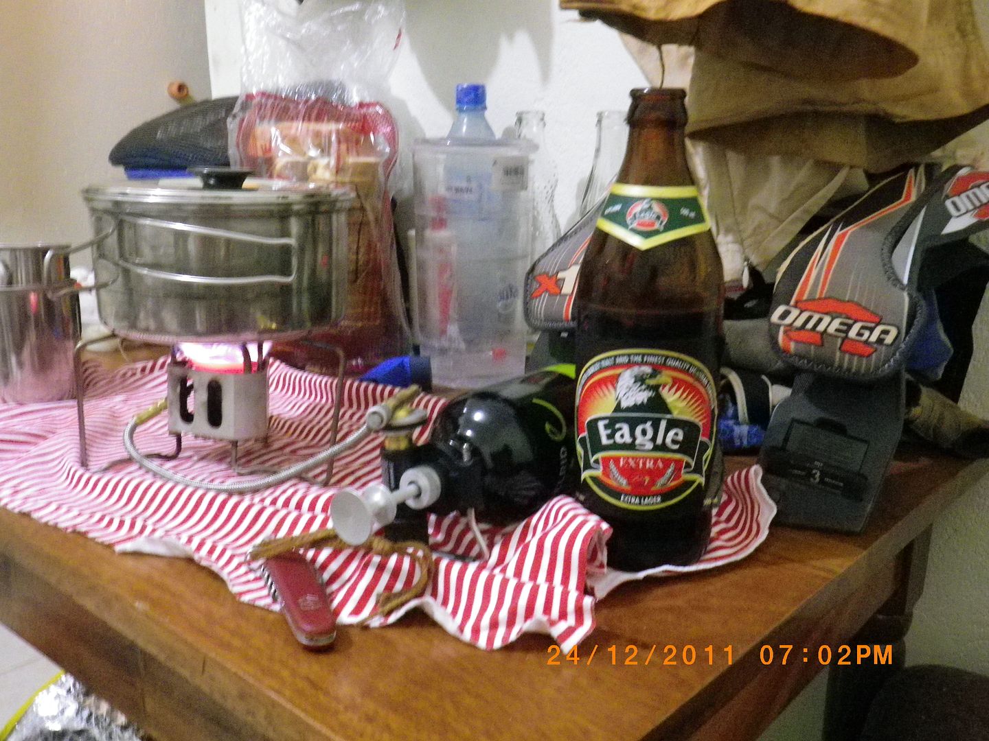
We found some stale bread and risked buying a few eggs............yup, and some beers. We went back to the room and ‘cooked up a storm’. This was our Christmas eve special!!!
IMG00429-20111224-1936.jpg


IMGP0777.jpg


I'm so enjoying your RR!  All respect to you for toughing it out and having the experiences of a lifetime.  Great stuff!
 
flip by now u must be a mud riding goddess.... awesome
ps i love the lines of lyrics, so many so familiar
 
Very impressive. Hope South Africa won't look like some of these places in the future :eek:
 
madmax said:
flip by now u must be a mud riding goddess.... awesome
ps i love the lines of lyrics, so many so familiar

I don't think I'm any better at riding in mud now than I was before this trip. If there are any tricks to riding in mud  I havn't learnt them. The only way through for me was to keep it slow and 'paddle'.  :-[
 
Flatout said:
Very impressive. Hope South Africa won't look like some of these places in the future :eek:

Although at first a lot of these places can be a bit of a shock, at no point did we ever feel threatened or compromised. So perhaps from a safety point of view we were better off in these villages/ towns than we would be in similar places in S.A.
Obviously we missed the convenience stores. Many a time a good pizza or Kentucky would have been  treat.
 
To all the interested readers, I have been away for a few days so I will continue to post some more as soon as possible.
Thanks for all your interesting comments.It's good to hear from you.
Safe riding
:ricky:
 
Very nice report, with some very important information.
Thanks a lot for taking the trouble to write it, and for posting all the pictures!
:thumleft:
 
HOIMA to MURCHISON FALLS NATIONAL PARK (Nile Safari Lodge)

DAY 16:      Christmas Day  :santa:
Distance:  130 km
Time:  7.30 am – 11.00 pm


Last night we went to bed with the sound of festive music booming out from the street below, and woke to the same the next morning .........real Christmas spirit!!!  Emotionally I was OK......until I heard a familiar Christmas Carol........well, that was the end of my Christmas spirit.
Suddenly I missed home and needed to be with our kids and my ill mother. For a while I wallowed in self pity and let the tears flow. :'(  I was feeling at such a low that I couldn’t even be bothered to decorate our bikes with the little Father Christmas character that I had so enthusiastically purchased and carefully packed away for this occasion.

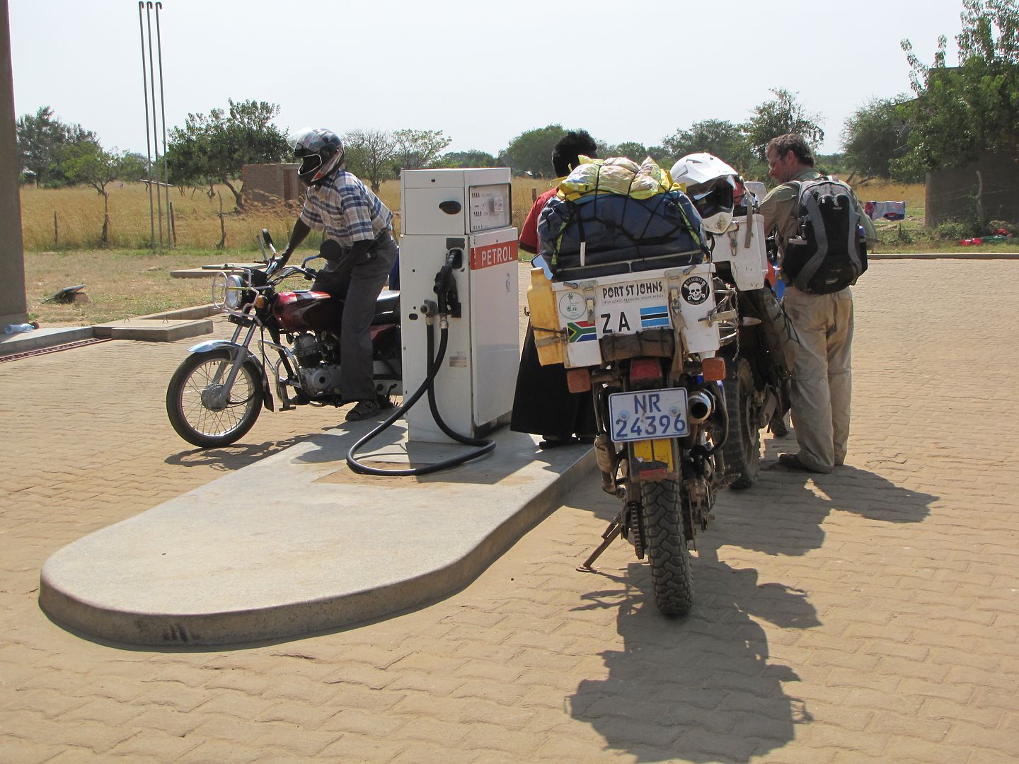
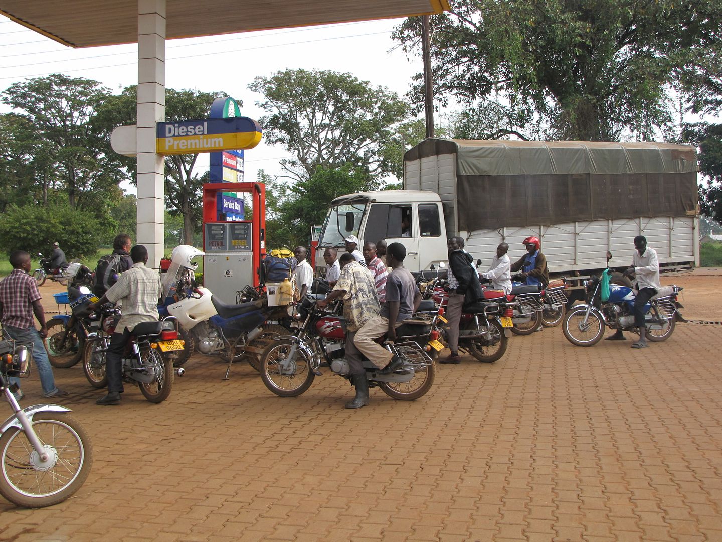
This was the lowest I had felt on the trip. I dragged myself and all my gear down to the courtyard and without any enthusiasm loaded my bike. It was fairly quiet out on the streets as we refuelled and as the town was waking up we tried to find our route out and eventually headed off on a good gravel road. We took a back route via Biso and west towards Butiaba( which is on the shores of Lake Albert) and headed north to Bulisa .As we progressed I started to cheer up again......... riding out into the fresh air and beautiful country side certainly helps to clear the head and it’s definitely therapeutic!!!!
IMG_8428.jpg


IMG_8431.jpg


IMG_8432.jpg

HE OBVIOUSLY HAD A FESTIVE CHRISTMAS


All alongside the road people were dressed in their best Christmas clothes.......ladies adorned in bright, glitzy dresses with wide sashes, men in not-always-matching suites and ties, kiddies in bright coloured shorts and  shirts – some boys even in 3 piece suites. They were all heading off to a nearby church. We had a lovely relaxing ride.

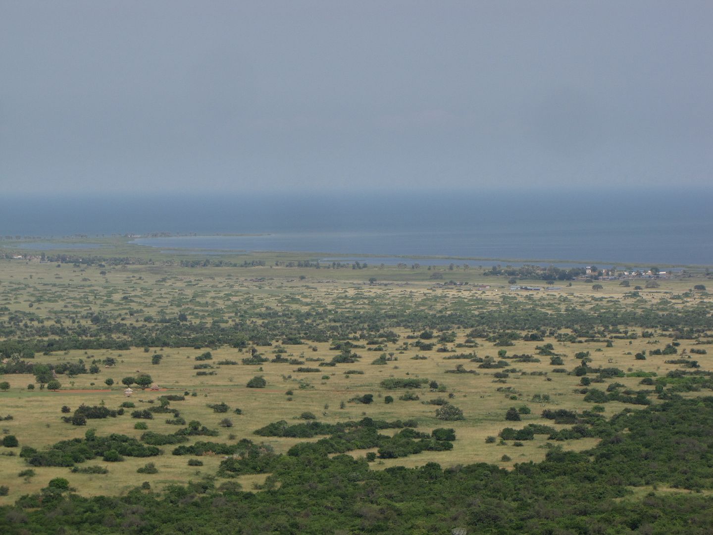
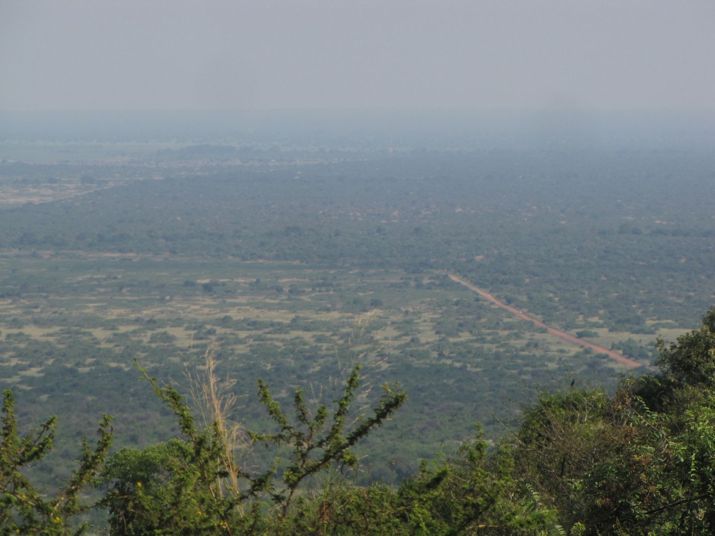
After Biso the road snakes down the Butiaba Escarpment on to the rift valley floor. The views overlooking Lake Albert to the Blue Mountains of the Congo are stunning, despite the haziness.

IMGP0782.jpg


IMG_8433.jpg


IMG_8434.jpg


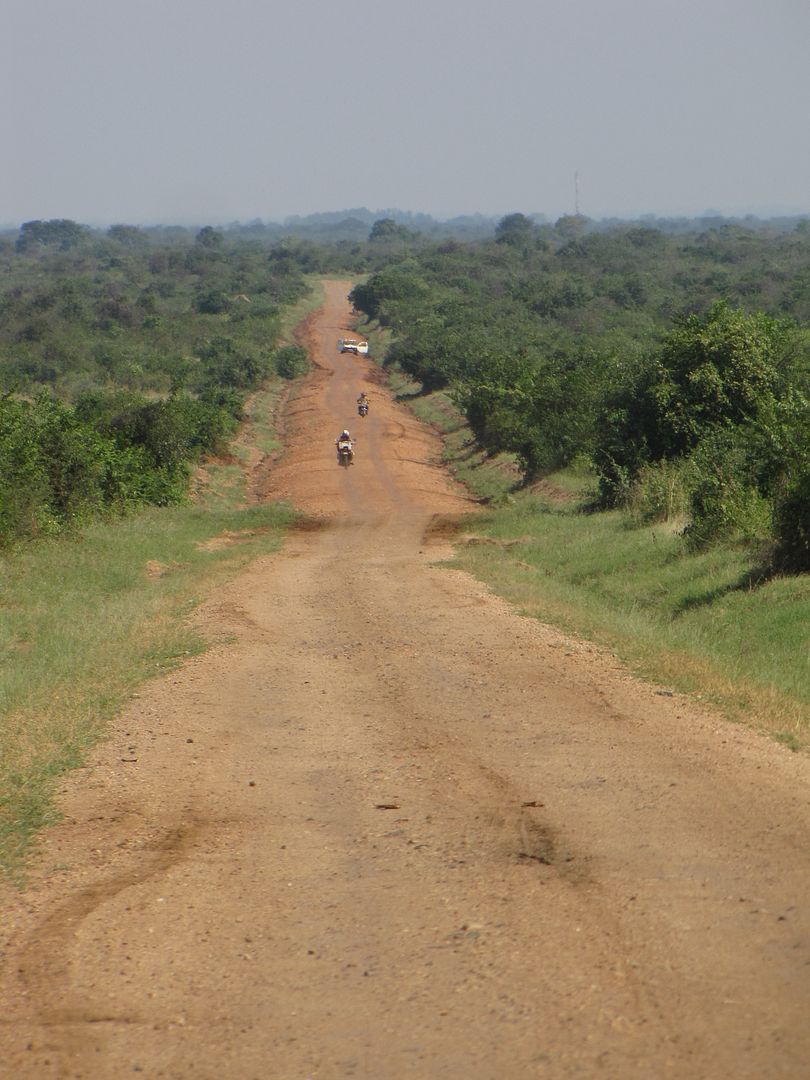
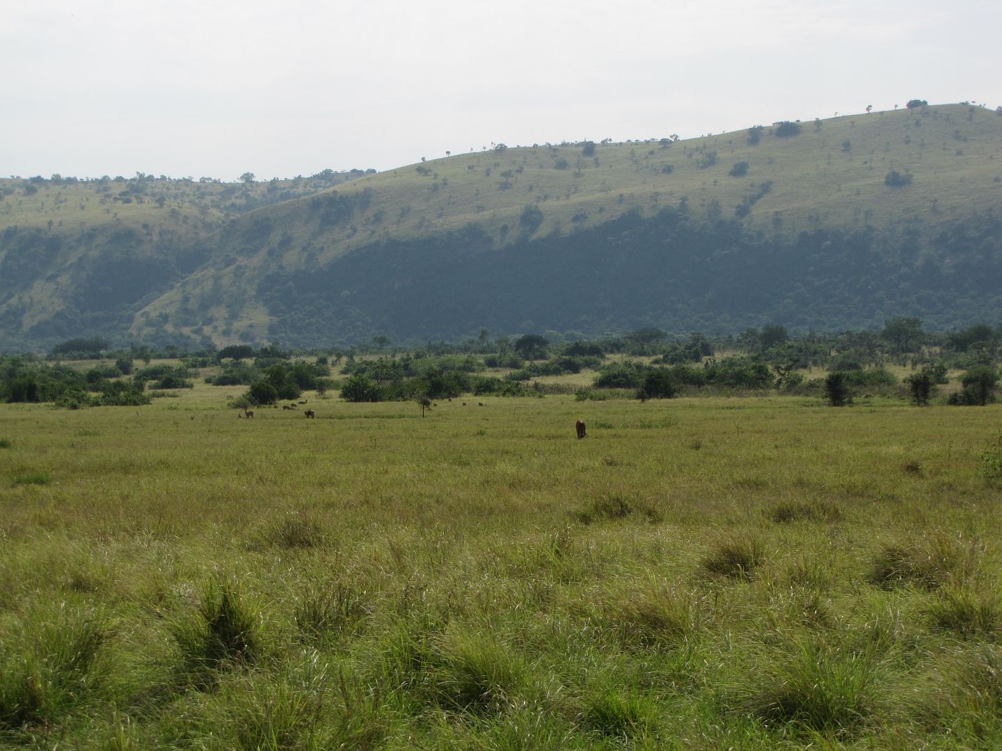
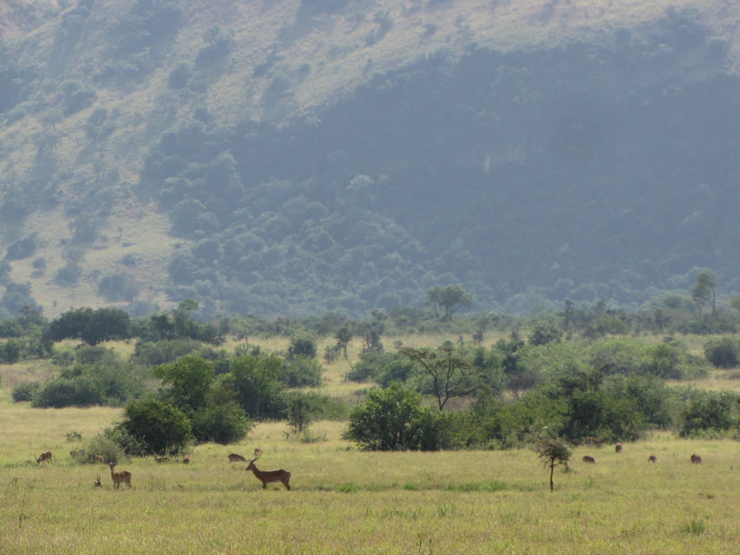
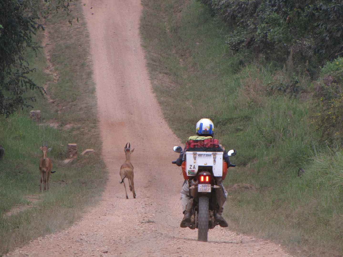
The good gravel road heading north to Bulisa took us through the Bungungu Widlife Reserve. This is a small area consisting of savannah and swamp and we enjoyed a few sightings of oribi (type of buck). The architecture in the villages changed back to mud huts with scruffy thatch roofing. There were fewer people and vehicles on this stretch of road. I don’t think that this would be a good road to travel on in the rainy season as it has the potential to become extremely muddy.

IMG_8438.jpg


IMG_8439.jpg


IMG_8440.jpg


IMG_8441.jpg


IMGP0785.jpg


IMGP0791.jpg


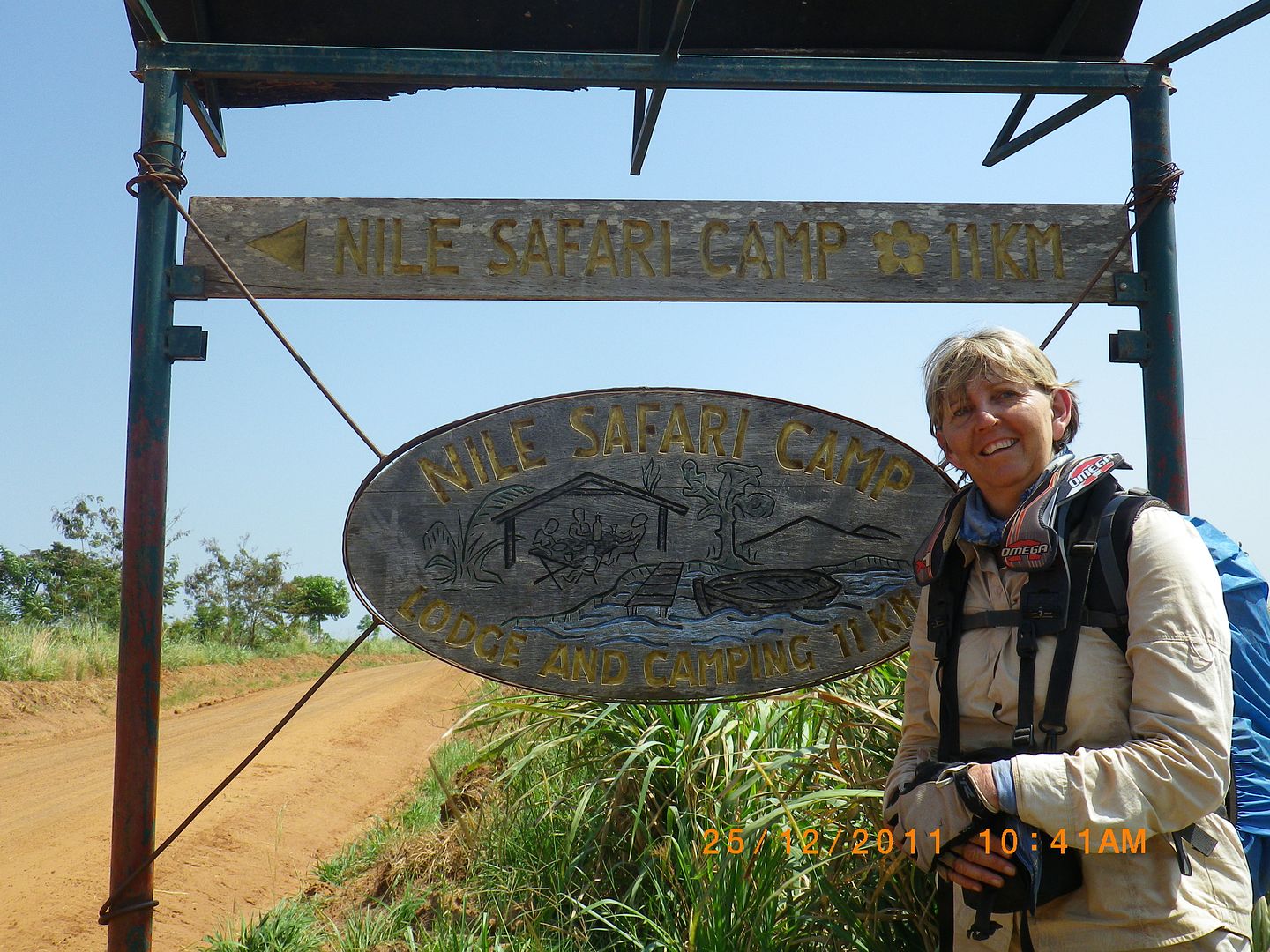
At Bulisa we refuelled and headed east in the direction of the Murchison Falls National Park. After 25 km we arrived at the turn off to the Nile Safari Lodge, outside the western border of the park.

IMGP0794.jpg


IMG_8442.jpg


IMG_8444.jpg


IMG_8446.jpg


IMGP0795.jpg


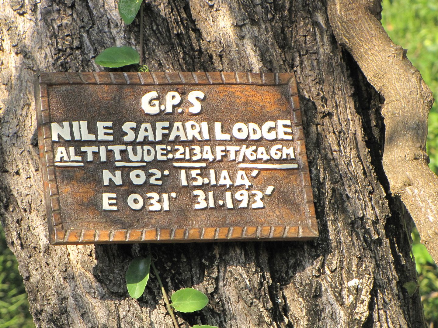
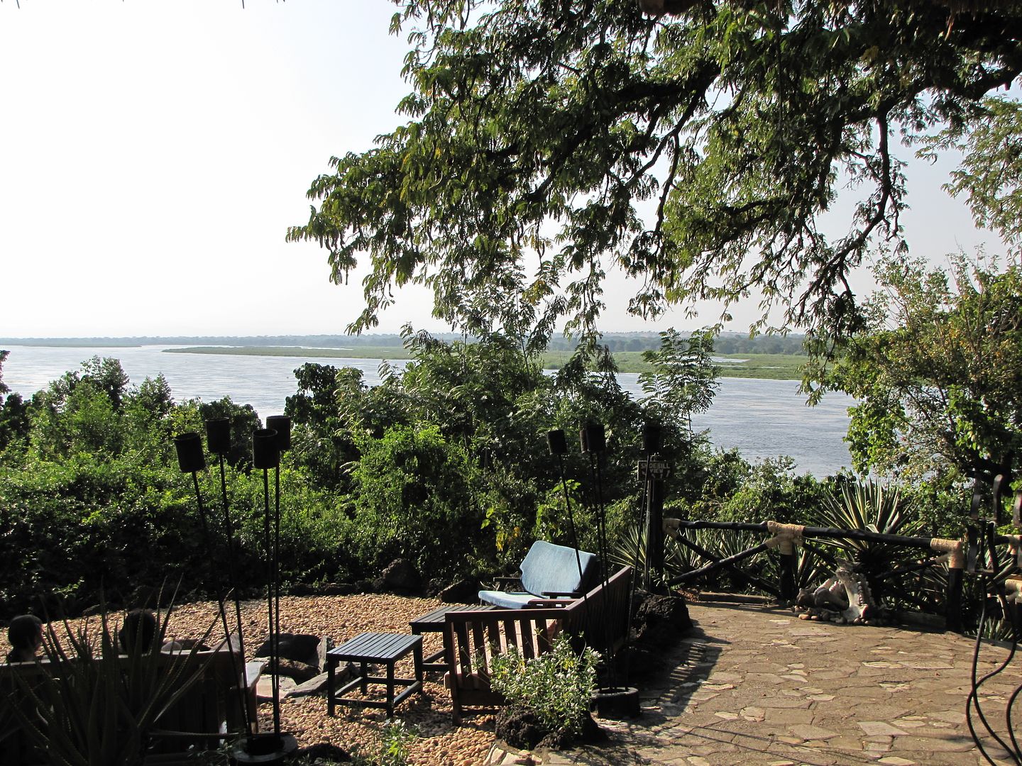
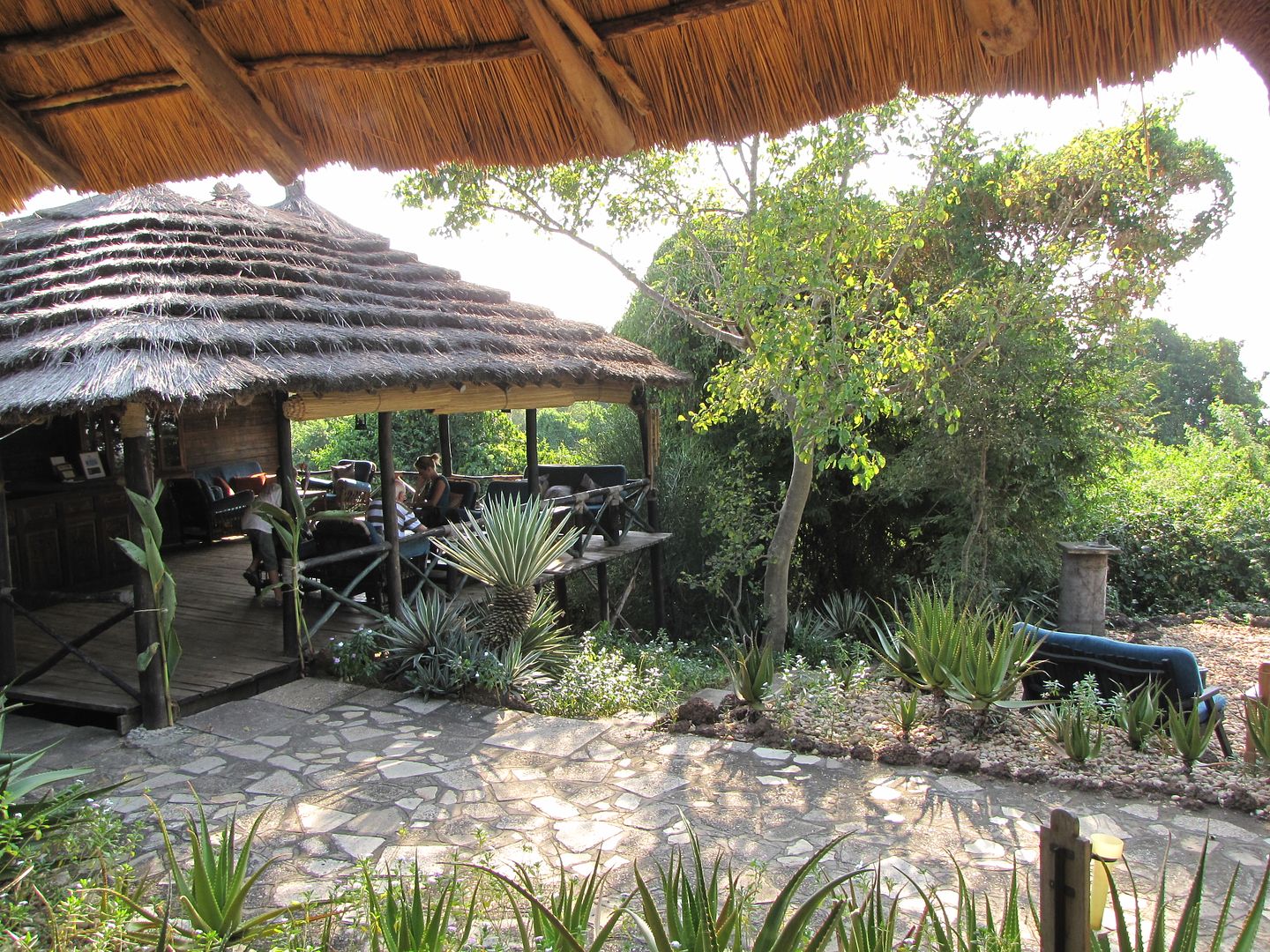
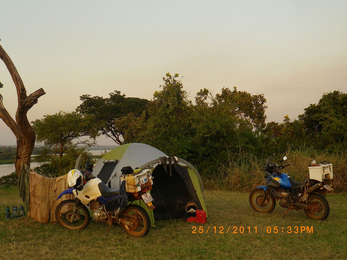
Nile Safari Lodge boasted a beautiful spot on the Victoria Nile River. The camp site was a short distance ride from the lodge and was only a small clearing with simple ablutions and a limited view of the fast flowing river – no frills. Cost USD 10 per person. A 10 minute walk through the bush connects the campsite to the lodge. It was a bit scary walking along it at night as the sounds of hippo grunts always seemed to be around the next corner. Fortunately all campers were escorted along the pathway at night by a ranger with a stick and a torch  ???  This area is famous amongst birders for viewing the Shoebill which inhabits a mid-river island opposite the lodge. We weren’t lucky enough to see it.

IMG_8453.jpg


IMG_8454.jpg


IMG_8455.jpg


IMGP0799.jpg


IMGP0802.jpg


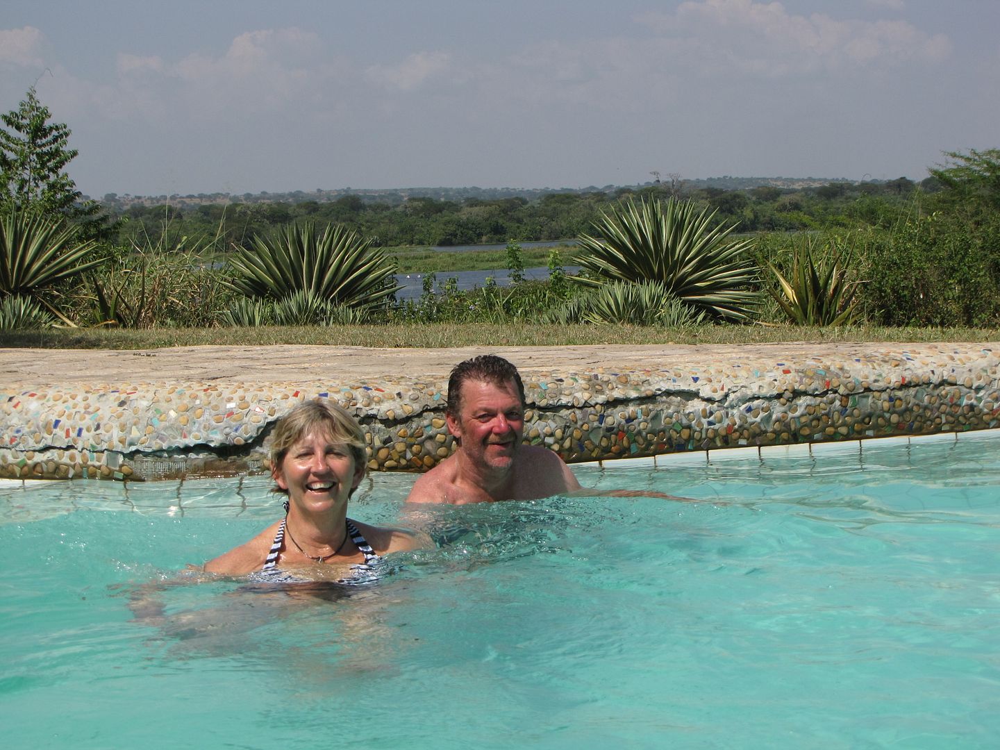
After setting up camp we took advantage of the pool and relaxed for the rest of the afternoon.

IMG_8452.jpg


IMG_8459.jpg


Whilst enjoying dinner we listened to the rhythm of Uganda and watched the rhythmic movements of a group of locals while they entertained the tourists. We had finally arrived at the most northern point of our trip. Our Christmas day, that had started off on such a dull note, came to a cheerful and festive ending.


REST DAY AT NILE SAFARI LODGE

DAY: 26 December 2011

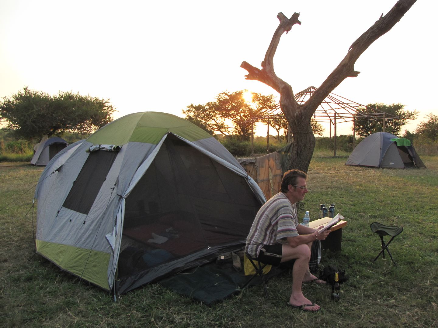
Awoke early to other tourists packing up and heading off to destinations unknown. It was so nice lazing in bed for a while longer. I really enjoyed staying in the tent again. We were so comfortable on our inch thick blow up mattresses and inflatable pillows.

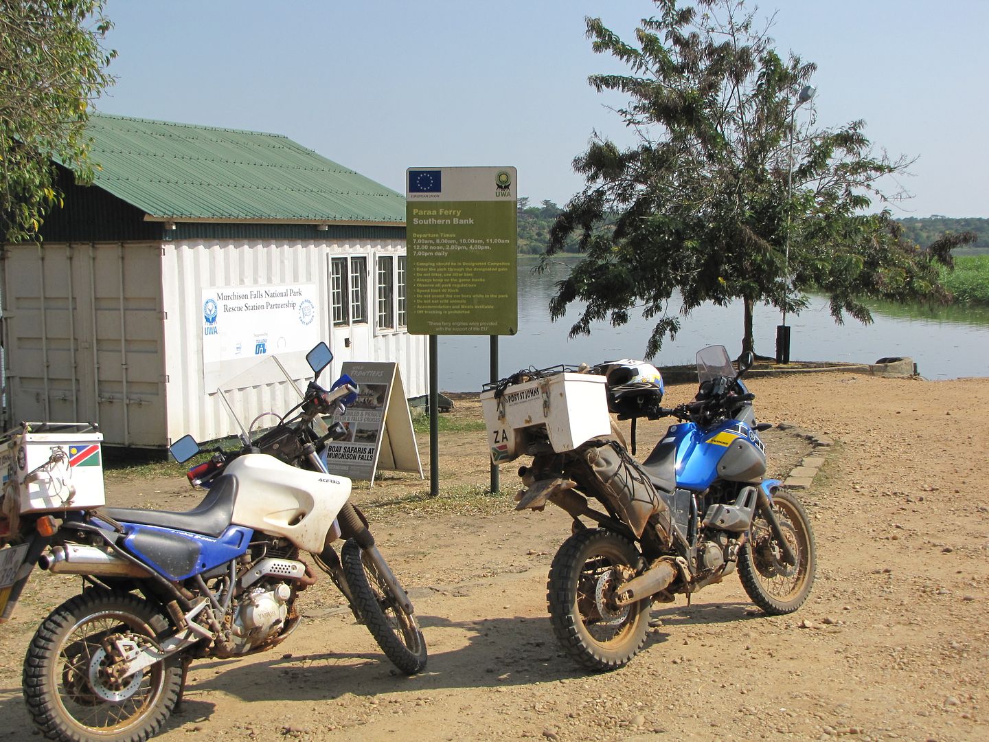
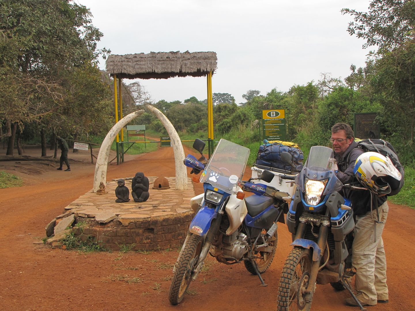
After breakfast we entered the park at a cost of USD 130, again!!!!!!! This was for 24 hr access. We wanted to get to the Paraa Ferry and arrange for a boat trip up to the falls. There was a space available for the morning trip but sadly they didn’t accept any credit cards and it was too late to cross over the river to try and get some cash from the Paraa Lodge. The afternoon boat trip was fully booked which meant that we were only able to view the falls from the top.
IMG_8483.jpg


IMGP0807.jpg


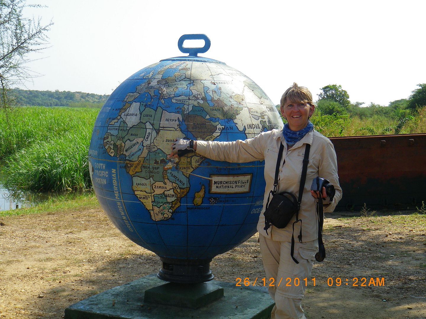
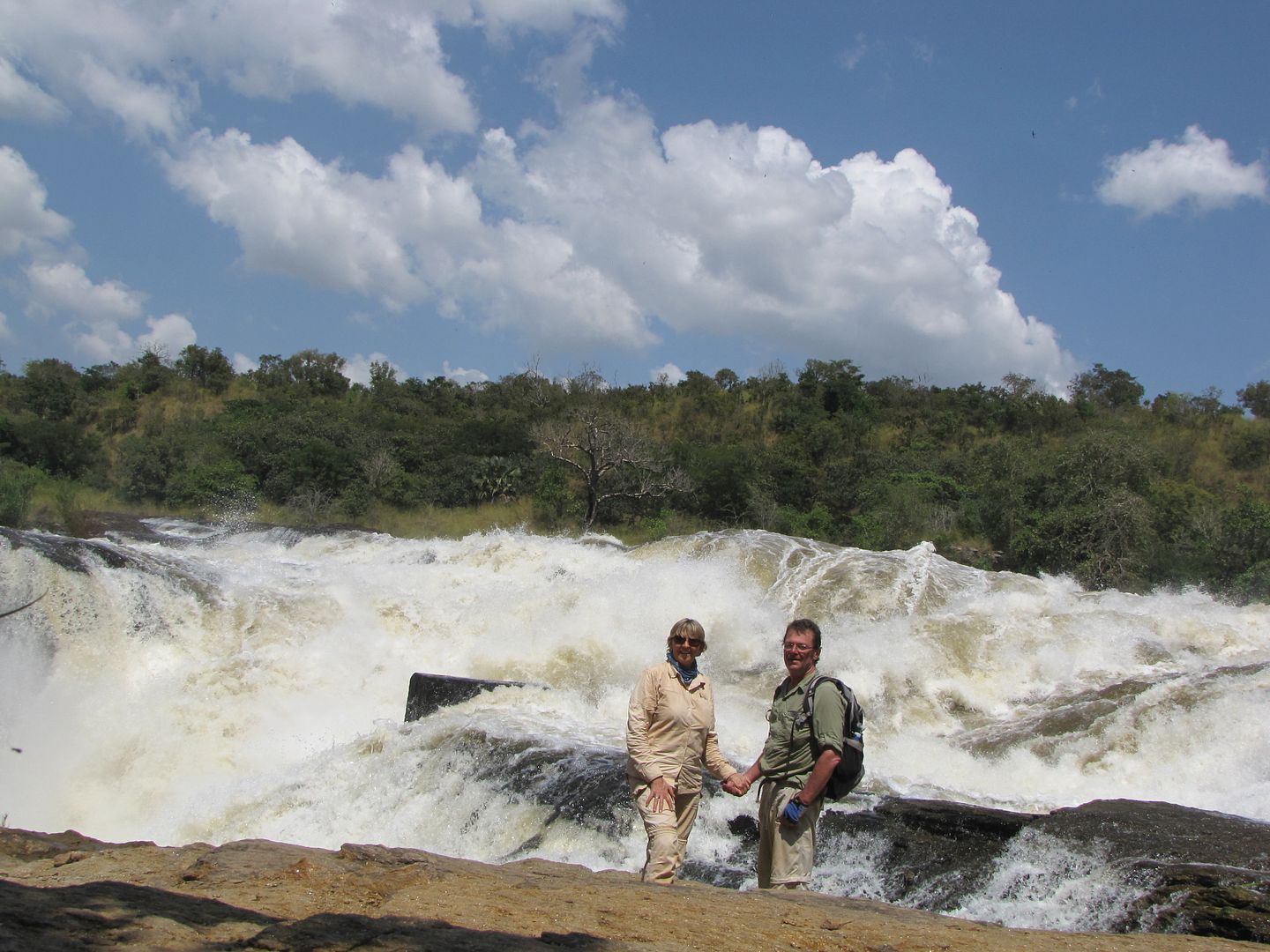
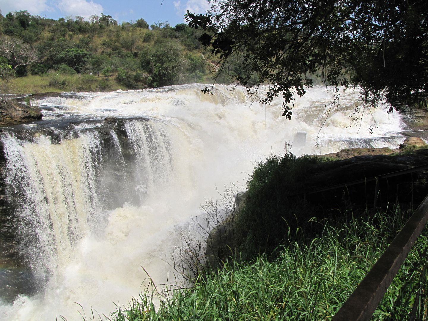
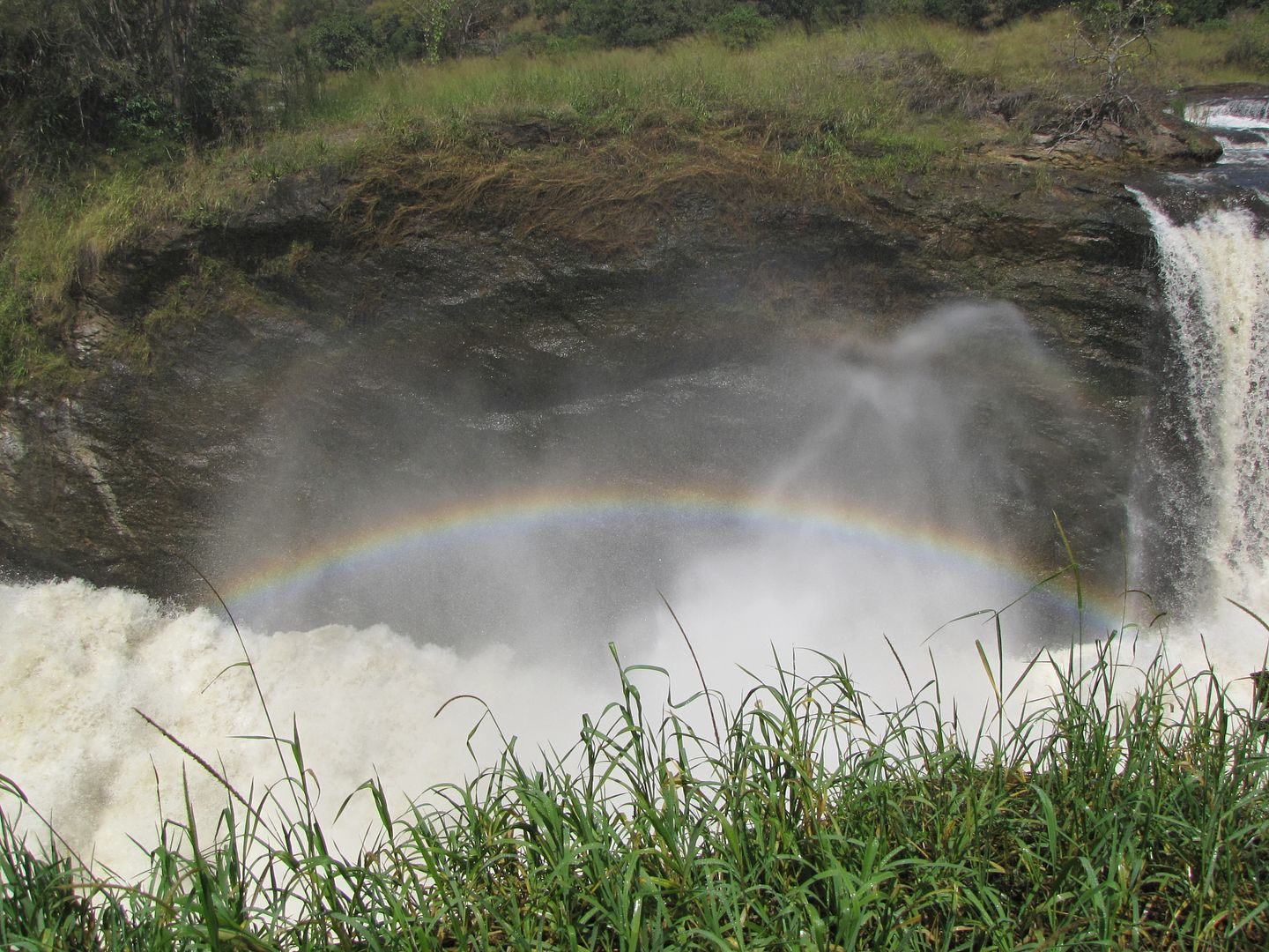
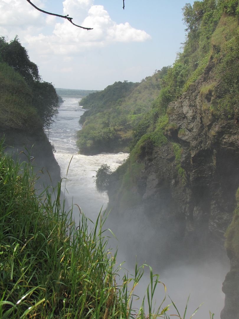
It was about a 34km ride to the Murchison Falls. It was a hot, dry and dusty road with very bad ruts and steep descent towards the end. We could hear the distinct roar of water as we walked the short distance from the car park to a small clearing and it is here that the languid Nile funnels through a narrow cleft in the Rift Valley Escarpment resulting in a most impressive sight of thunderous raging white water casting colourful rainbows down the narrow gorge. It is quite a deafening sound. If one looks to the left down the narrow channel one can see where it opens up again into the wide river that it is.


IMGP0817.jpg


IMG_8499.jpg


IMG_8493.jpg


IMG_8492.jpg


IMG_8490.jpg


On the return trip I stopped to take photos of some wildebeest drinking at a water hole but as I stopped and put my feet out my right foot slipped on the loose granular surface and over I went aggravating my sore leg again. The buffalo must have got more of a fright as he took one look at me and sped off out of sight


IMG_8500.jpg


IMG_8501.jpg

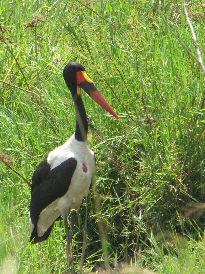
A saddlebilled stork- you can see the distinctive yellow ’saddle’ at the base of the unusual banded red and black bill


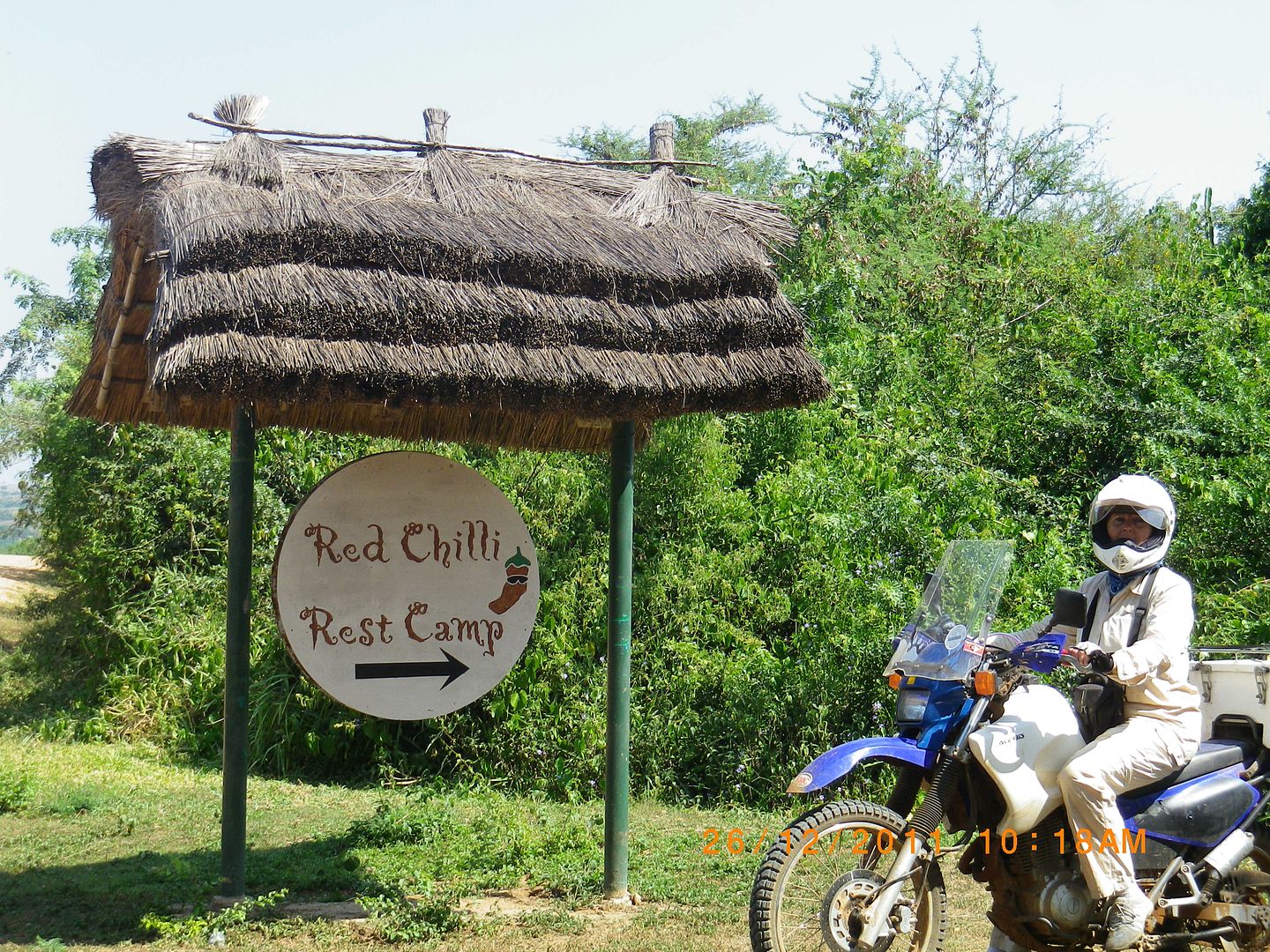
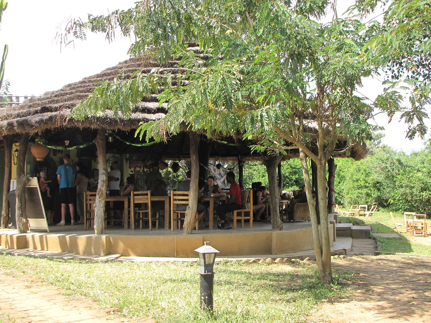
We headed back to Red Chillie Rest Camp for some lunch. This popular spot is managed by a pleasant young couple and is obviously the place for young tourist to hang out. The downside is that there is no river frontage or view but it is only about 2km up the road from the ferry crossing.


IMGP0809.jpg


IMG_8504.jpg


IMG_8502.jpg


IMG_8503.jpg


We drove back down to the ferry to see if we were able to cross over but it had just departed and would only return an hour later. Disappointed we returned to our camp and lazed around the pool for the rest of the afternoon. Tomorrow is to be another early start as we have to get in and out of the park within the 24 hrs of todays entrance. We also had to be at DHL in Kampala before there office closed in order to collect Kingsleys Brake pads which had been sent up by Yamaha in Pietermaritzburg. As the day ended I had mixed feelings about whether I was happy or sad about this being a turning point in our journey. We felt that we had been very fortunate up to now and hoped that our luck would hold.

IMGP0829.jpg


                                        The long way Home  :ricky:


MURCHISON FALLS NATIONAL PARK to JINJA

DAY  18:  27 December 2011
DISTANCE:  398 km
TIME:  5.45 am – 5.30 pm


    Head out on the highway with the rising sun...
                          Ain’t going nowhere...
                                    Wanna hear that engine run.”


                                                                Lordi


IMGP1290.jpg


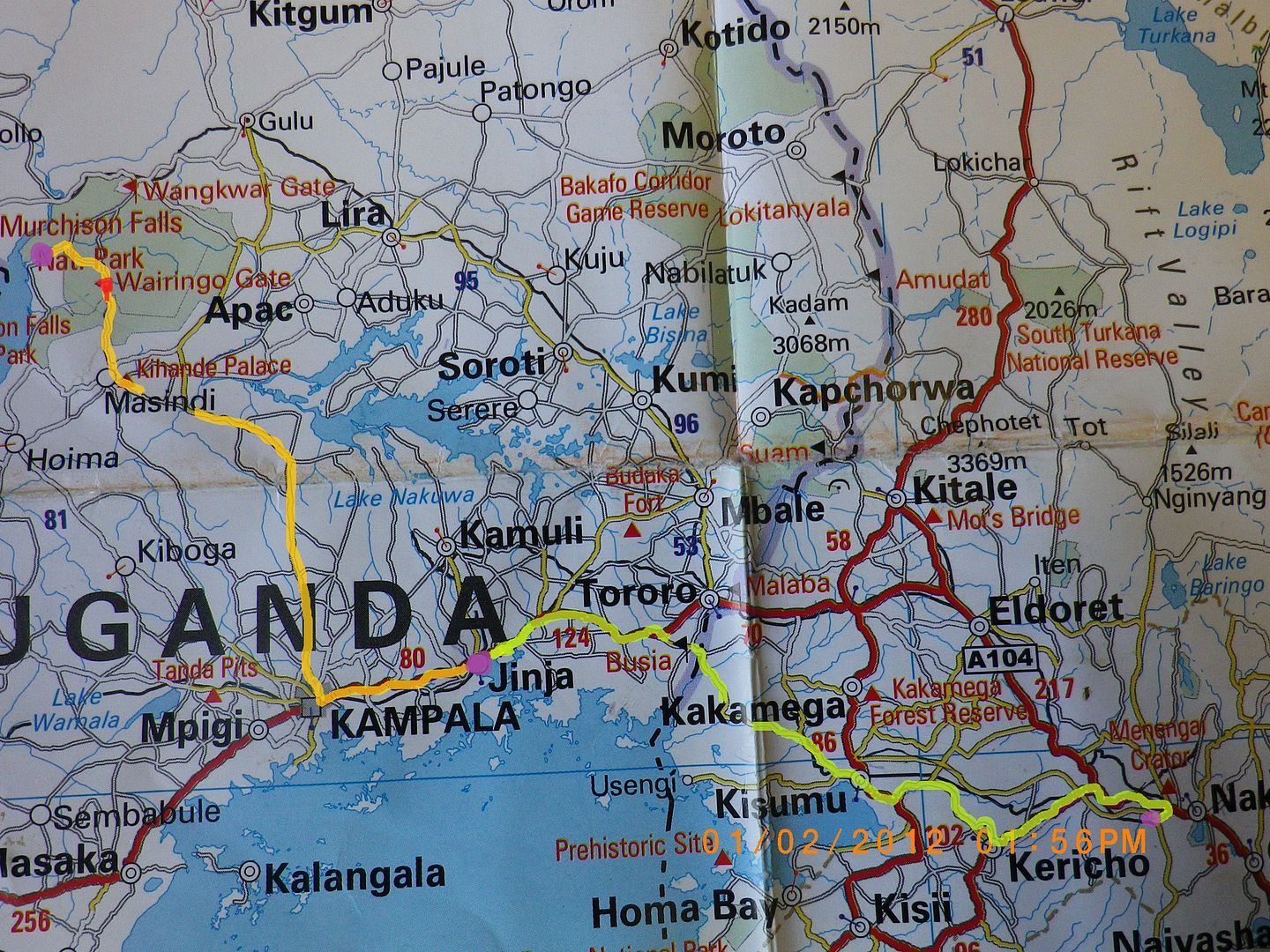
ROUTE FOT THE NEXT THREE DAYS


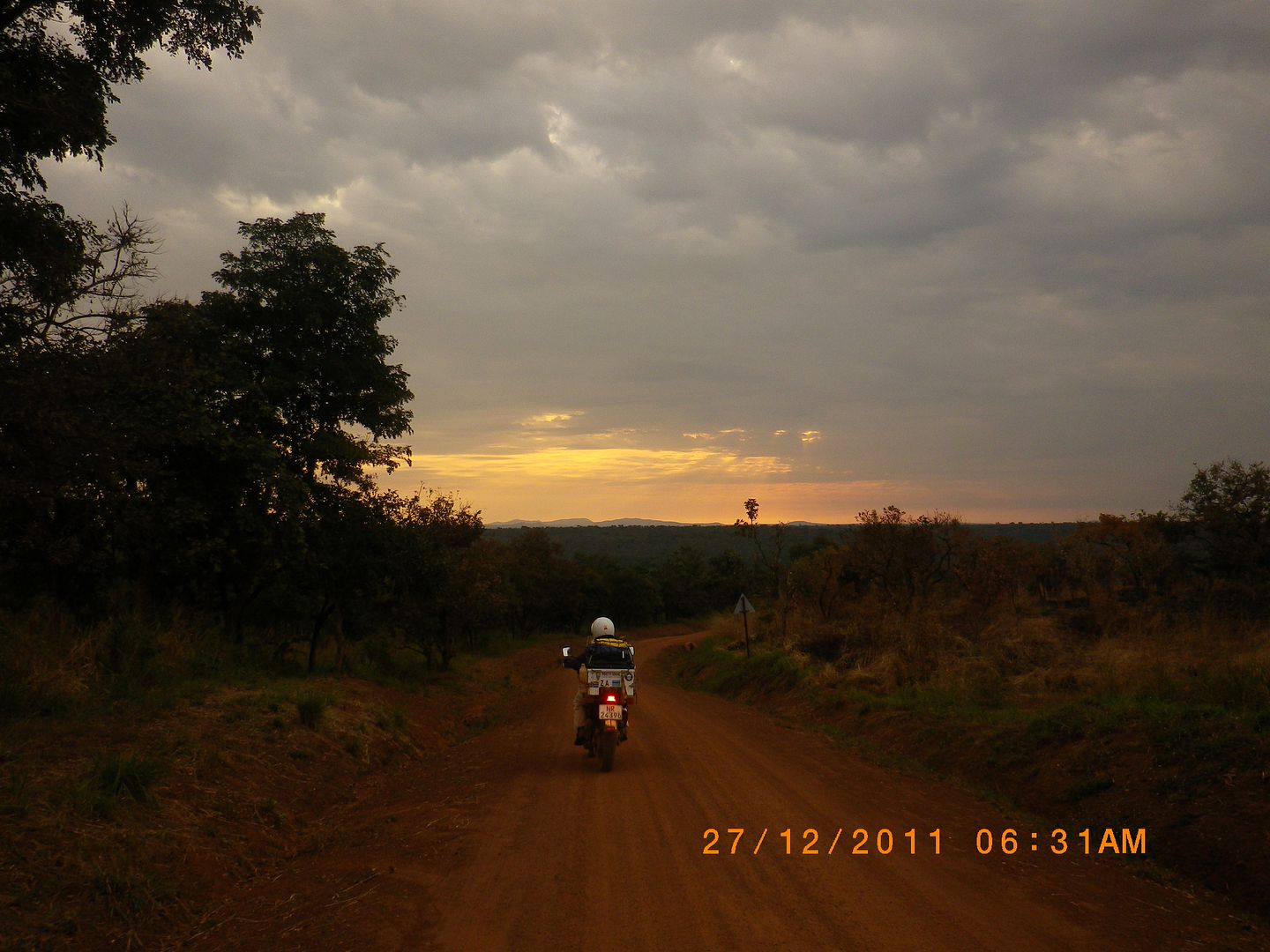
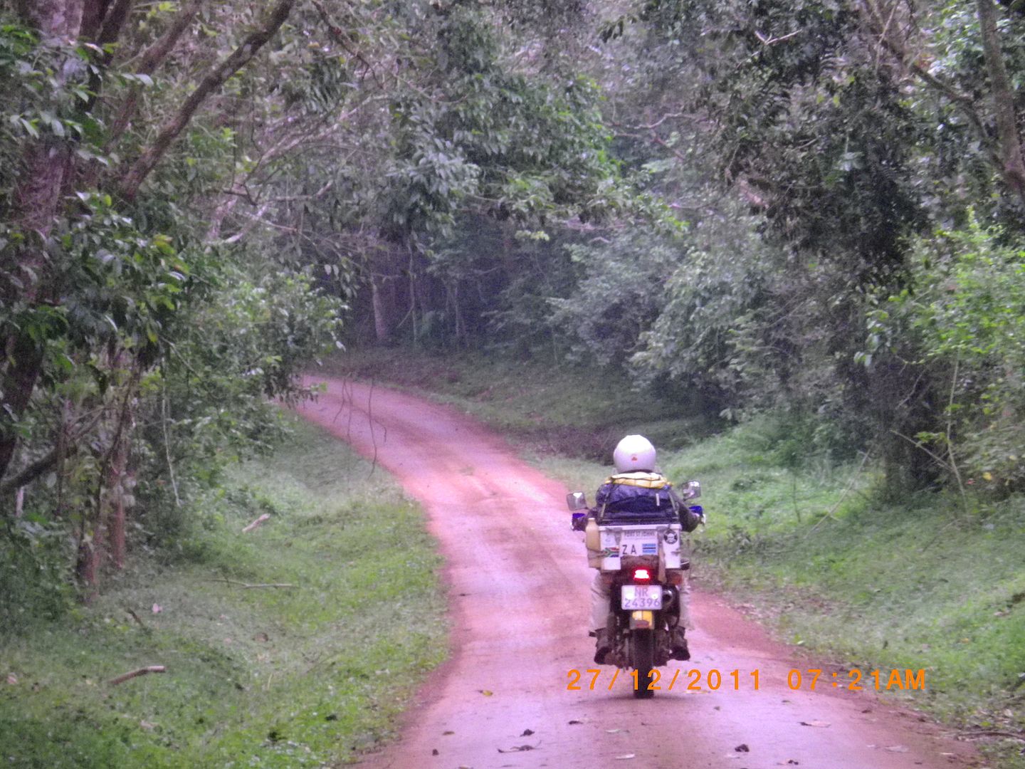
We awoke in the dark, packed up and rode off just before the sun came up. It was so lovely and peaceful in the reserve.

IMG_8505.jpg


IMGP0833.jpg


A perfect place and great weather to be out on a bike. Travelling the 85 km through the reserve we took in some wonderful scenery but saw very little wildlife.


IMG_8509.jpg


IMGP0836.jpg


IMG_8512.jpg


IMG_8514.jpg


It was here that I saw a black and white Colobus monkey flying across the treetops but he was just too fast for me to get a photo.


IMG_8518.jpg

The Exit.


The rest of the gravel road took us to Masinda where we managed to get more shillings. We refuelled and headed off on a delightfully quiet tar road.

IMG_8521.jpg


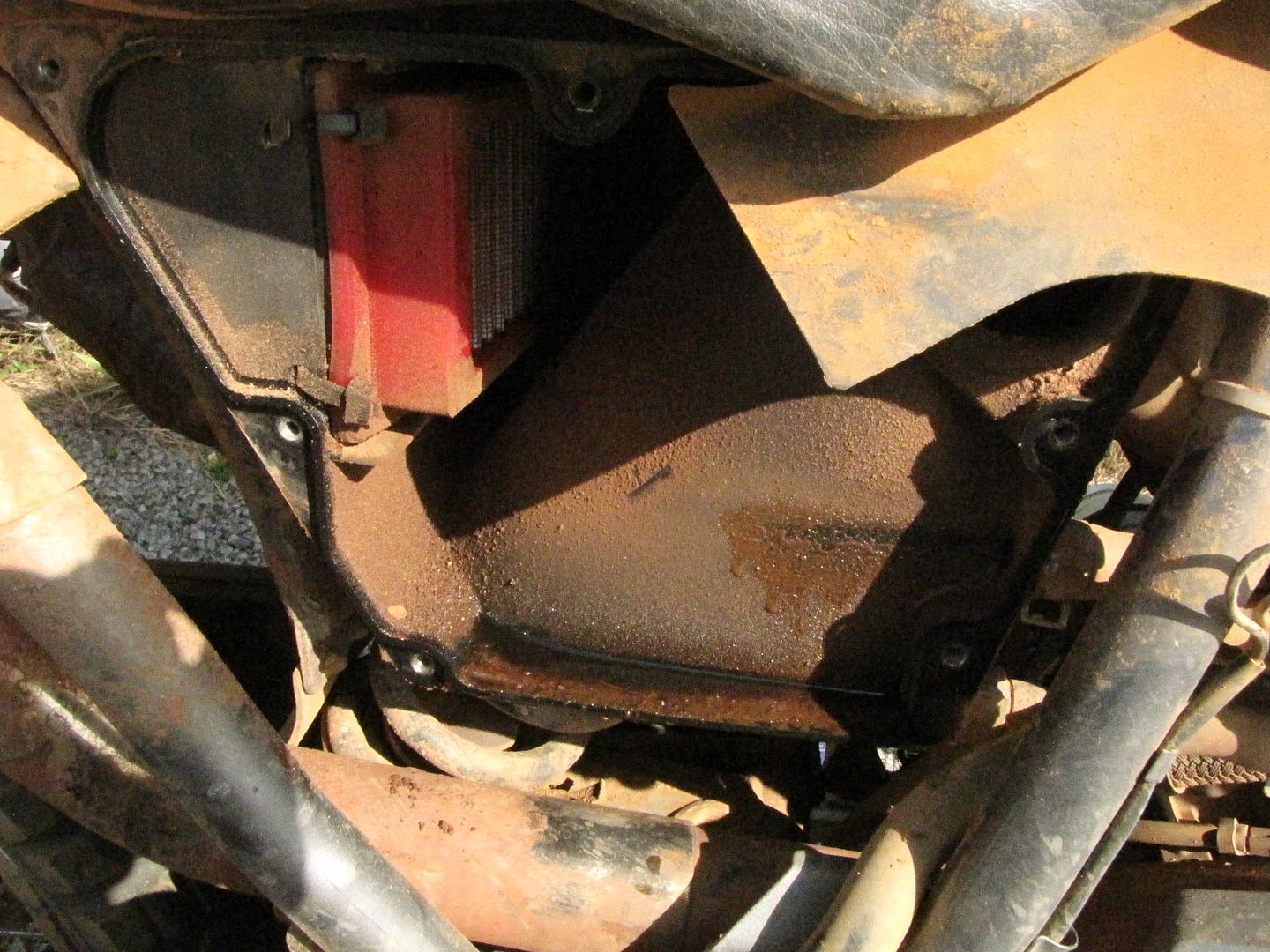
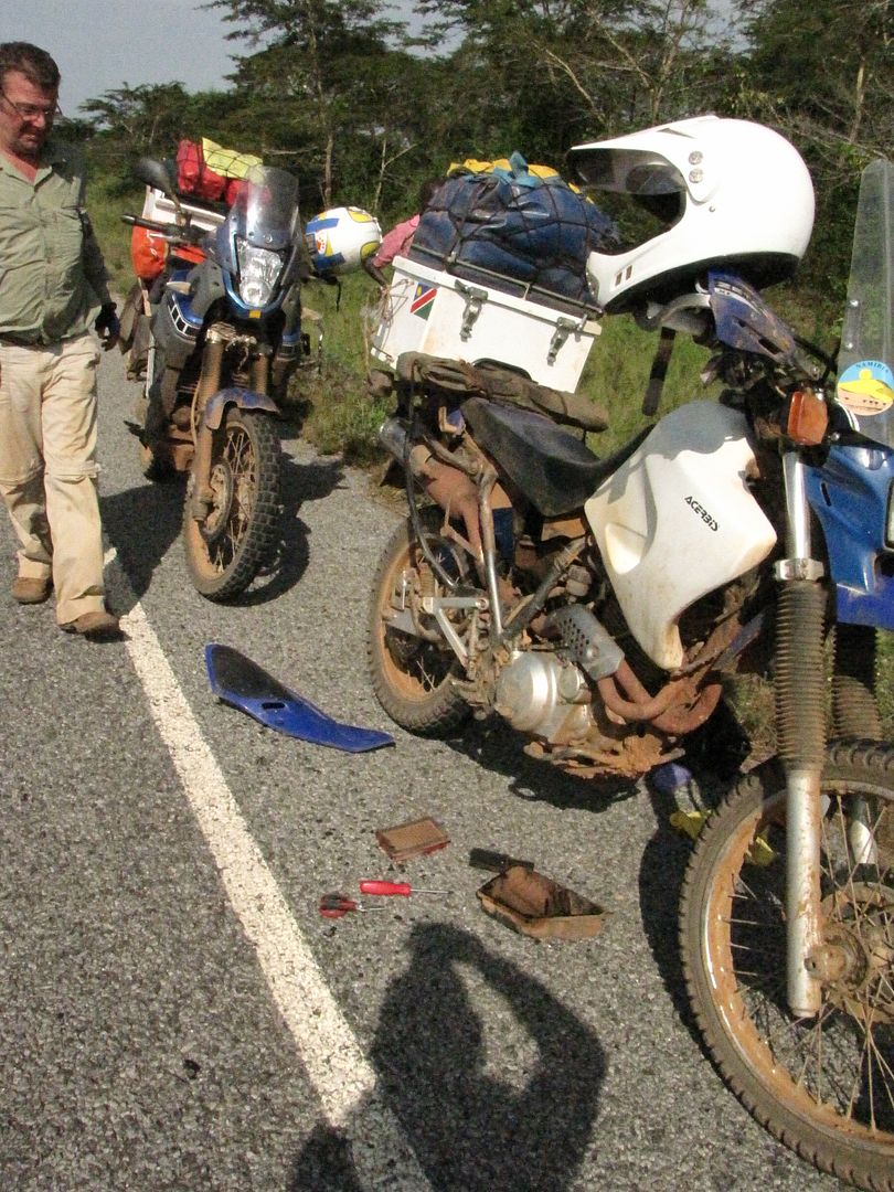
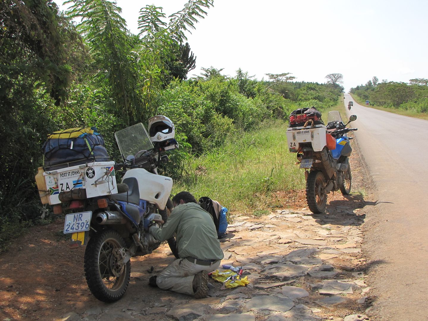
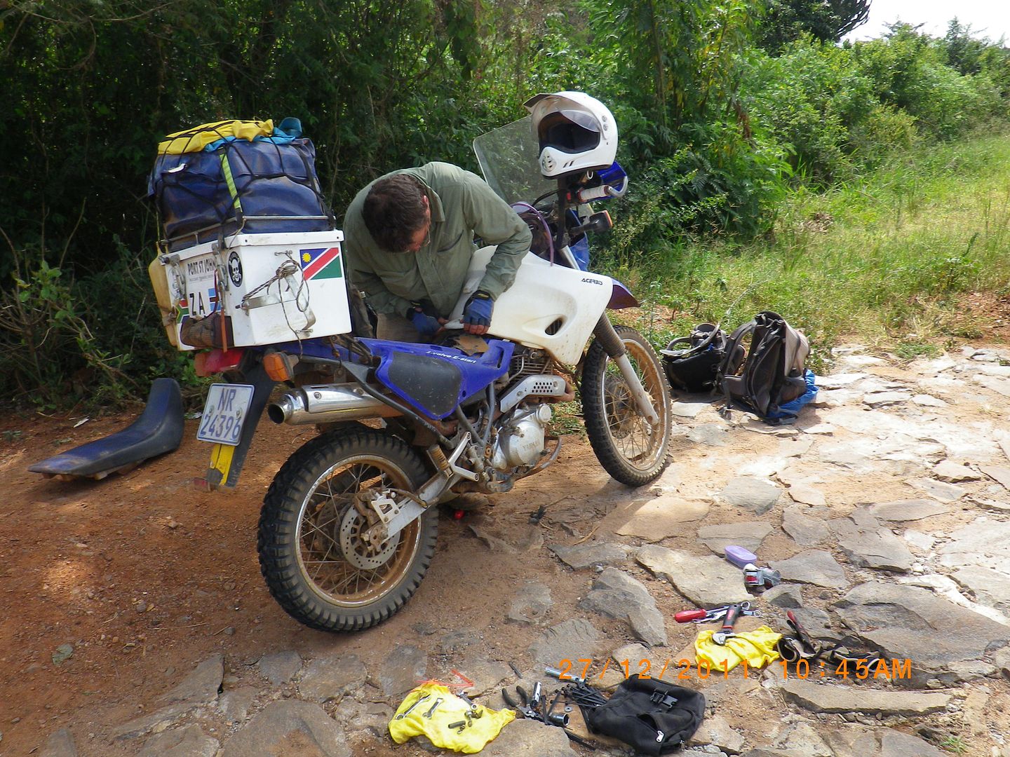
We were making good progress until my bike started spluttering. We stopped and Kingsley opened up the air filter and it was so clogged up with dust – even the housing around it was caked in dust. He decided to just remove the cover and we continued on our way.

IMG_8522.jpg


IMG_8523.jpg


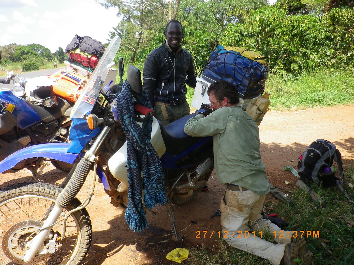
About an hour later my accelerator started jamming because of all the dirt coming through the carburettor, more spluttering and eventually it cut out. We pulled off the road and decided to clean the air filter with a toothbrush and dish liquid and left it in the sun to dry.


IMG_8524.jpg


IMGP0841.jpg


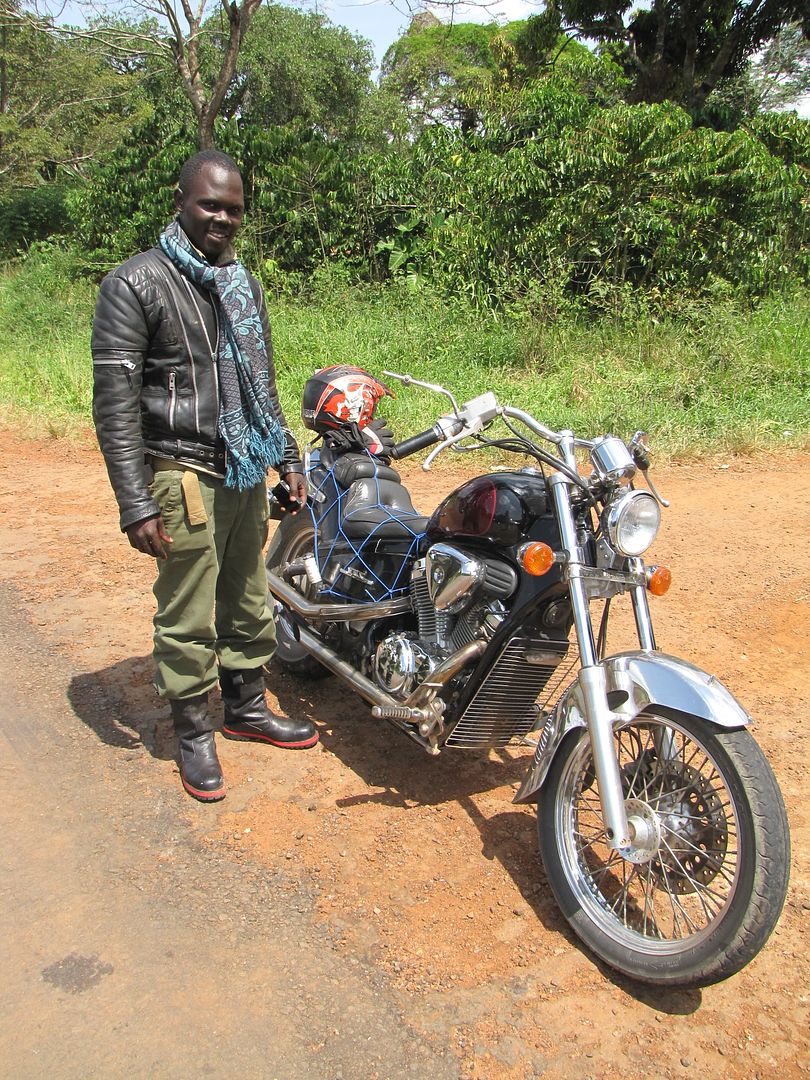
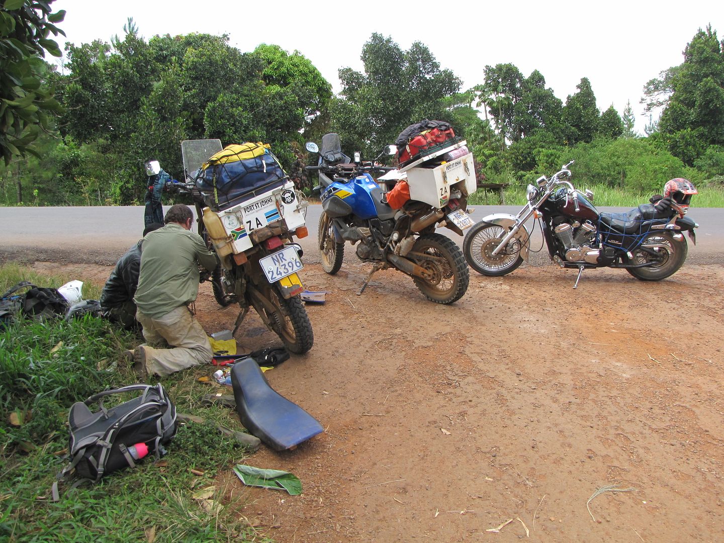
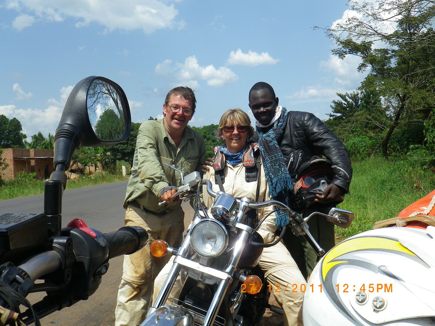
Kingsley put it all back together again and off we went. A few kilometres down the road and the bike started its nonsense again. Once again we found a shady spot and pulled off the road to check it out again. A minute later another motorcyclist stopped to assist us. Keru was a Ugandan riding a Honda 400,  a Harley –look-alike, and lived and worked in Kampala.  He looked so smart in his leather jacket and scarf.

IMG_8535.jpg


He insisted on helping Kingsley repair the bike and claimed that it is the ‘Brotherhood of bikers’ and you don’t leave another ‘brother’ on the side of the road without assisting. In no time at all they had the carb off, cleaned and replaced.


IMG_8536.jpg


IMGP0843.jpg


He was so pleasant and friendly and we were both so grateful for his help and company. I quickly scratched in my bag for my clean ‘wilddog’ buff and gave it to him as a token of our appreciation. He was so chuffed and immediately put it on.


IMGP0844.jpg


We swopped email addresses, took a few photies and said our farewells. We are now also facebook buddies and it’s so nice keeping in touch with him. Anyway, within a few kilometres the spluttering started again. All three of us stopped and they removed the filter cover and off we went again and all was well. Back on the road i could not help but wonder how the ’brotherhood of bikers’ would have been of any value to our new Ugandan friend with bike problems in our country. Food for thought, left us feeling a little humbled  ??? Thanks Keru, you were great!!!  :thumleft:
About 80km later we arrived at the outskirts of Kampala. This was an eye opener. Unfortunately we don’t have any photos as we were unable to stop as the bumper-to-bumper traffic swept us through such slum and squalid areas. It had been raining and everything was wet, muddy and dirty and all we were concerned with was not loosing each other.

Taxis were trying to push us off the road in order to get one space further. The boda-boda’s (motorbike taxis) were overtaking us from all directions. We were all vying for road space and trying to catch up time. Thank goodness Kingsley had his GPS because for about 10 km this home-time mess continued. We eventually joined the ranks of the boda-boda riders and were also now squeezing in and out of the traffic which definitely helped when we got into real standstill traffic jams. I was so involved in getting out of this mess that I was totally oblivious to a little ‘fender bender’ that had occurred  a short distance in front of us. I was actually enjoying myself weaving in and out with all the other bikes. We soon filtered out of the chaos as we rode into the centre of Kampala and headed for DHL. It was very clean and orderly within the city. Kingsley spent the best part of an hour in the DHL offices trying to trace his brakes, only to be told that they were still at Entebbe Airport waiting at customs. Feeling fed up we decided not to head off to Entebbe as we were running out of daylight and we still had to work our way out of the city and ride a further 80 km east to Jinja, Ugandas second largest town which lies on the northern shore of Lake Victoria.

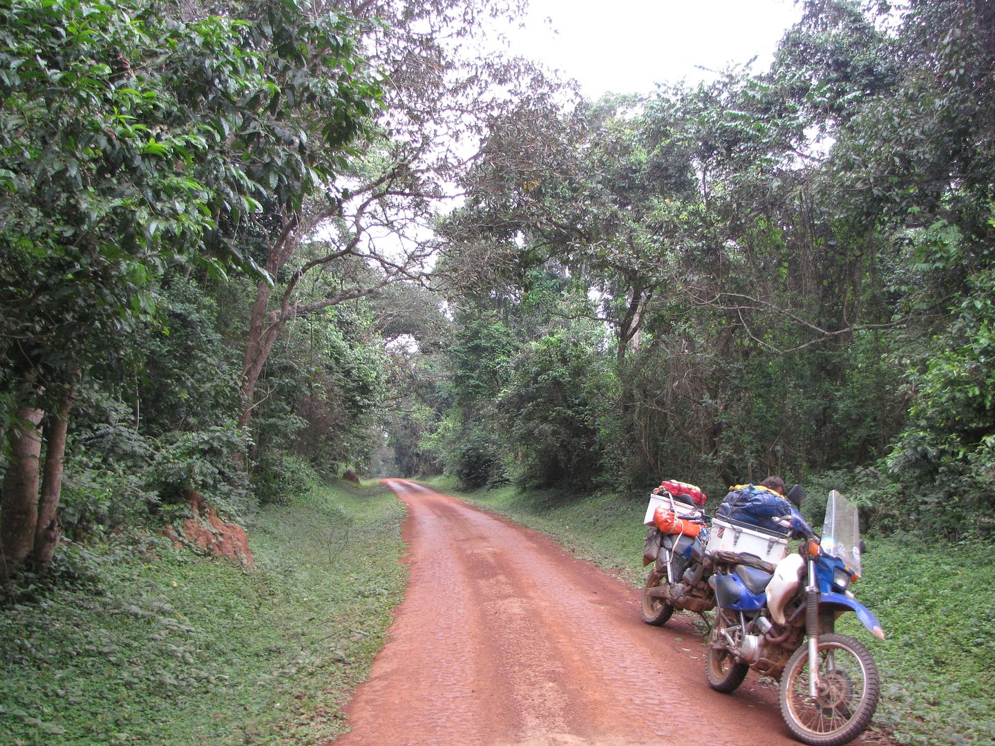
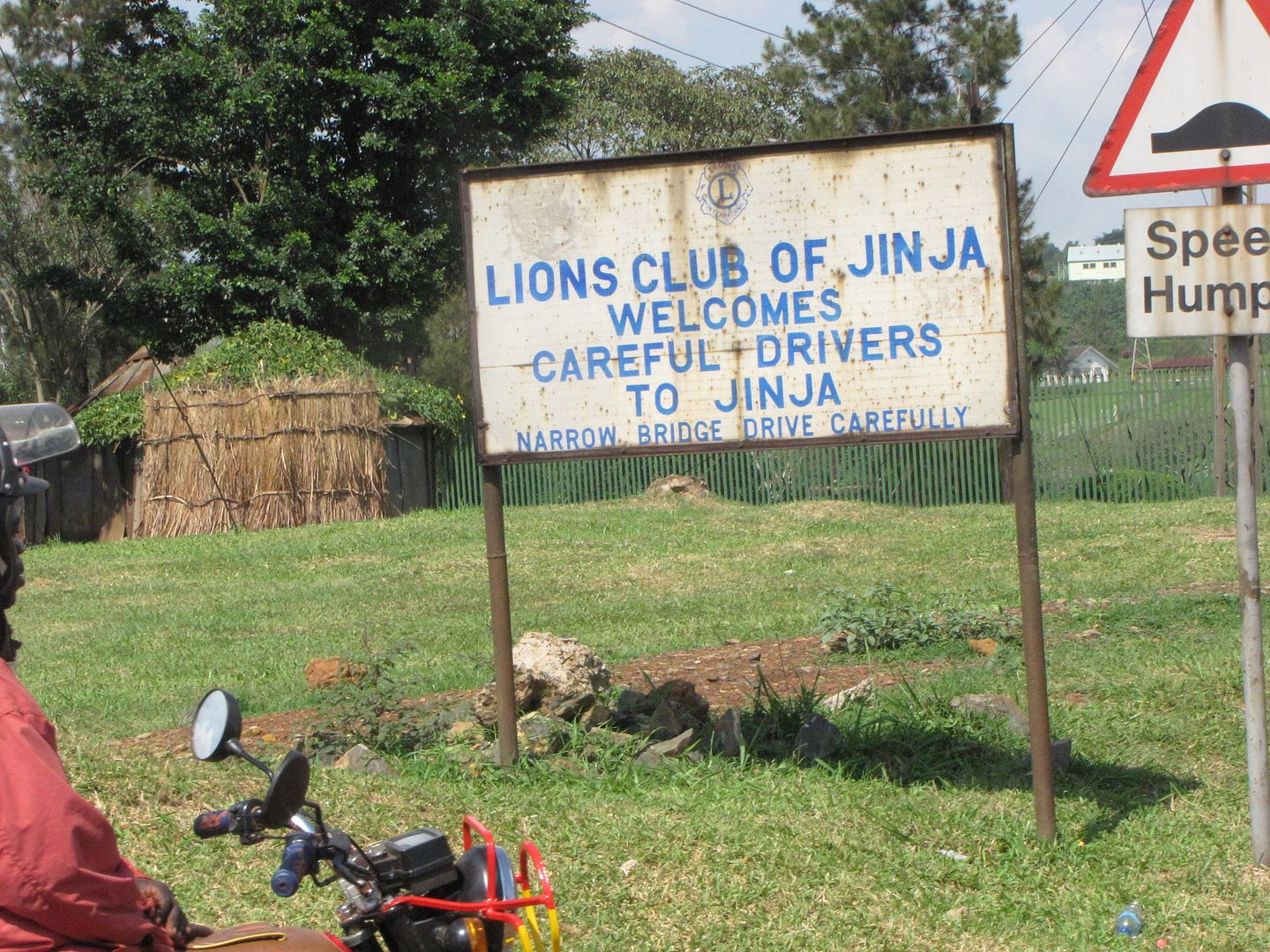
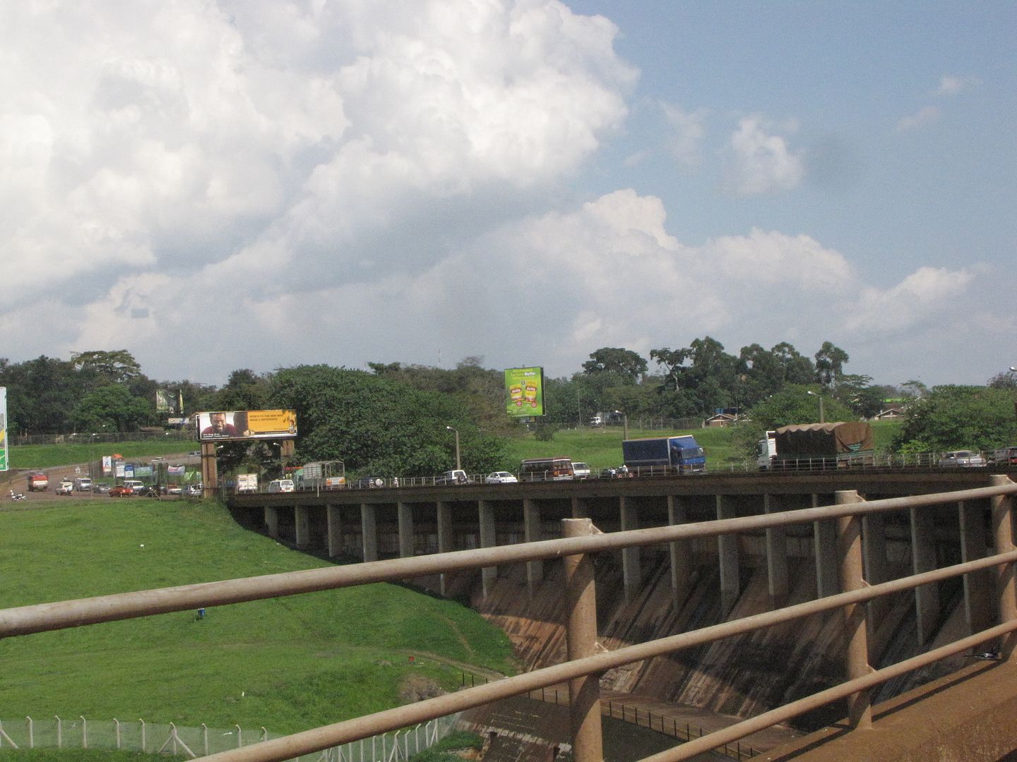
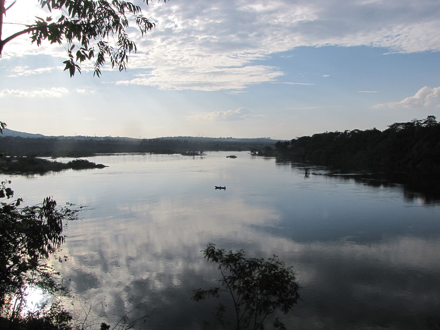
Due to all the traffic it was a slow ride but very scenic. Sugar cane now dominated the countryside and we rode through the spectacular Mabfra Forest Reserve with all its tall lush green, indigenous trees. We eventually arrived at the bridge that crosses over the Victoria Nile River. We both felt quite exhilarated as we were now near the Source of the Nile.
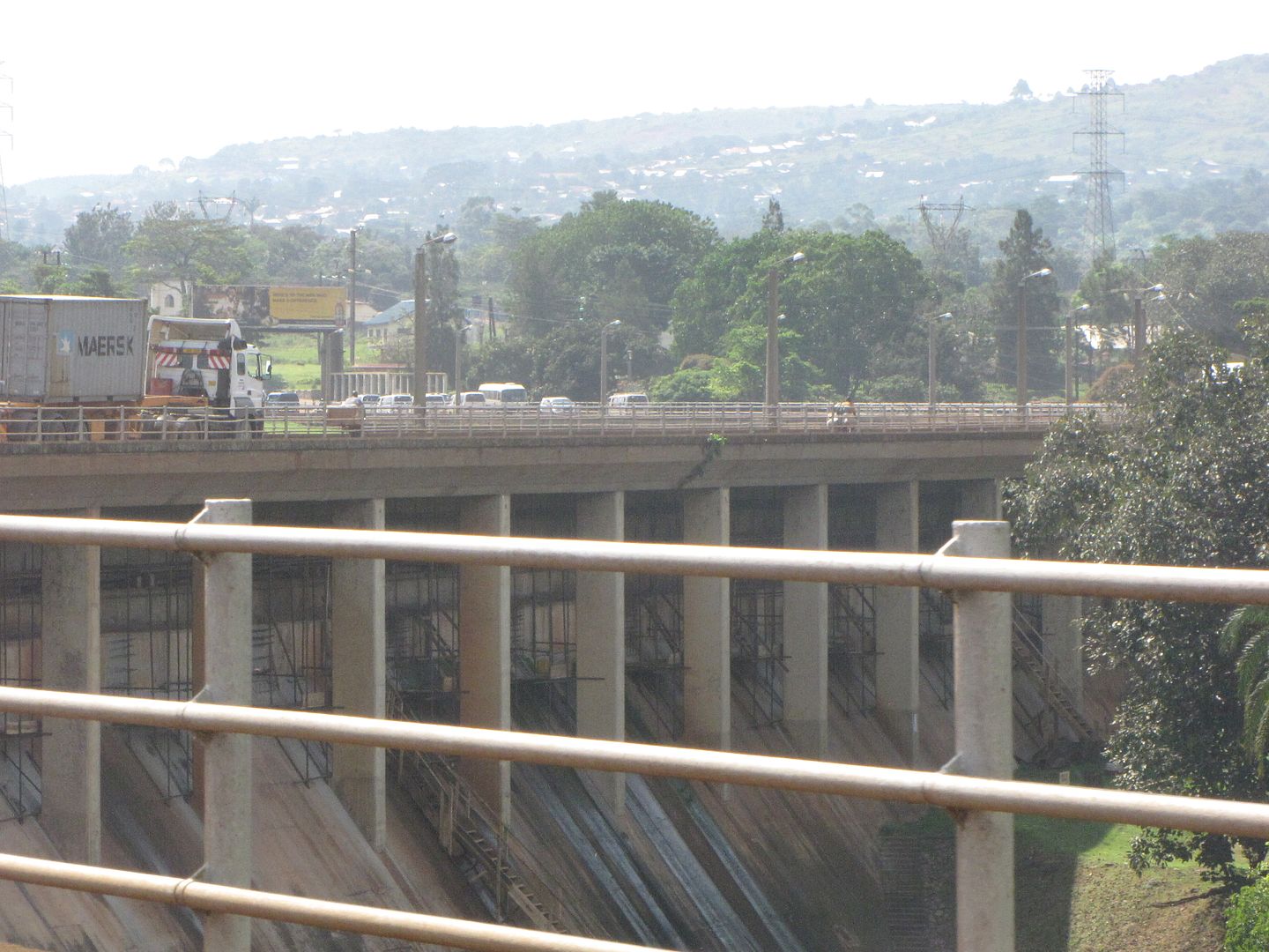
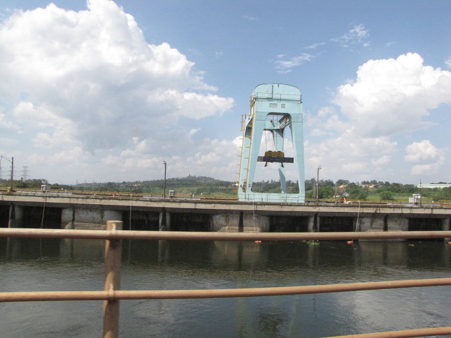
This bridge crosses over the Owen Falls Dam which was constructed in the 1950s causing the Ripon Falls, identified by Speke in 1862, to become submerged.


IMG_8626.jpg


IMG_8628.jpg


IMG_8616.jpg


IMG_8627.jpg


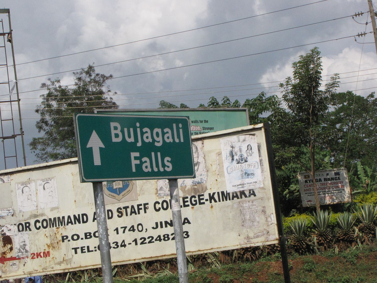
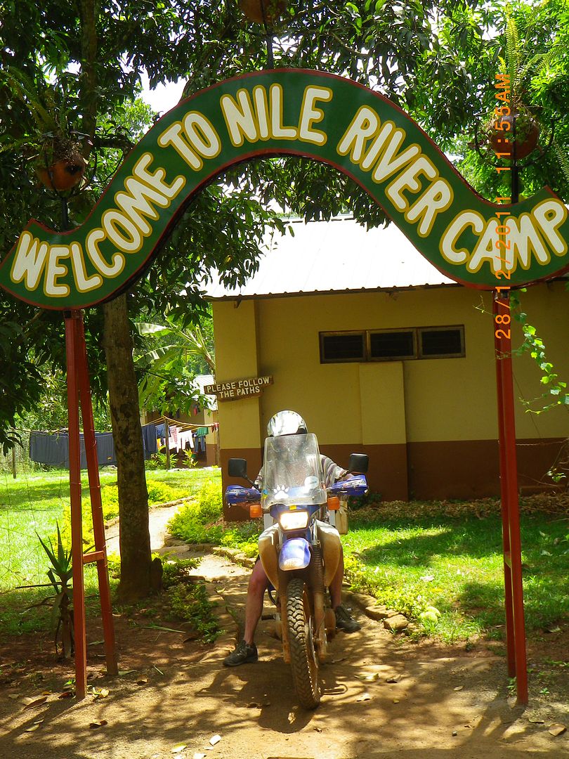
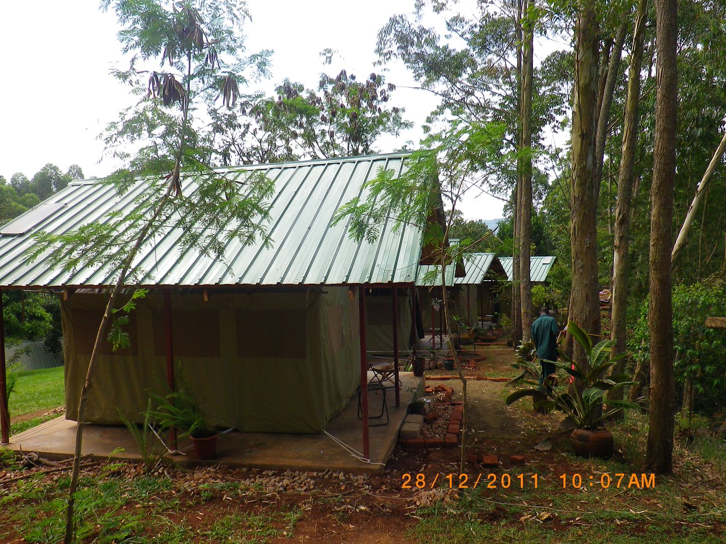
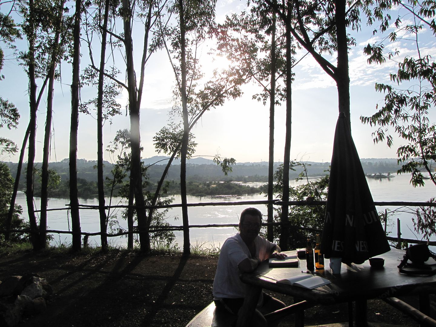
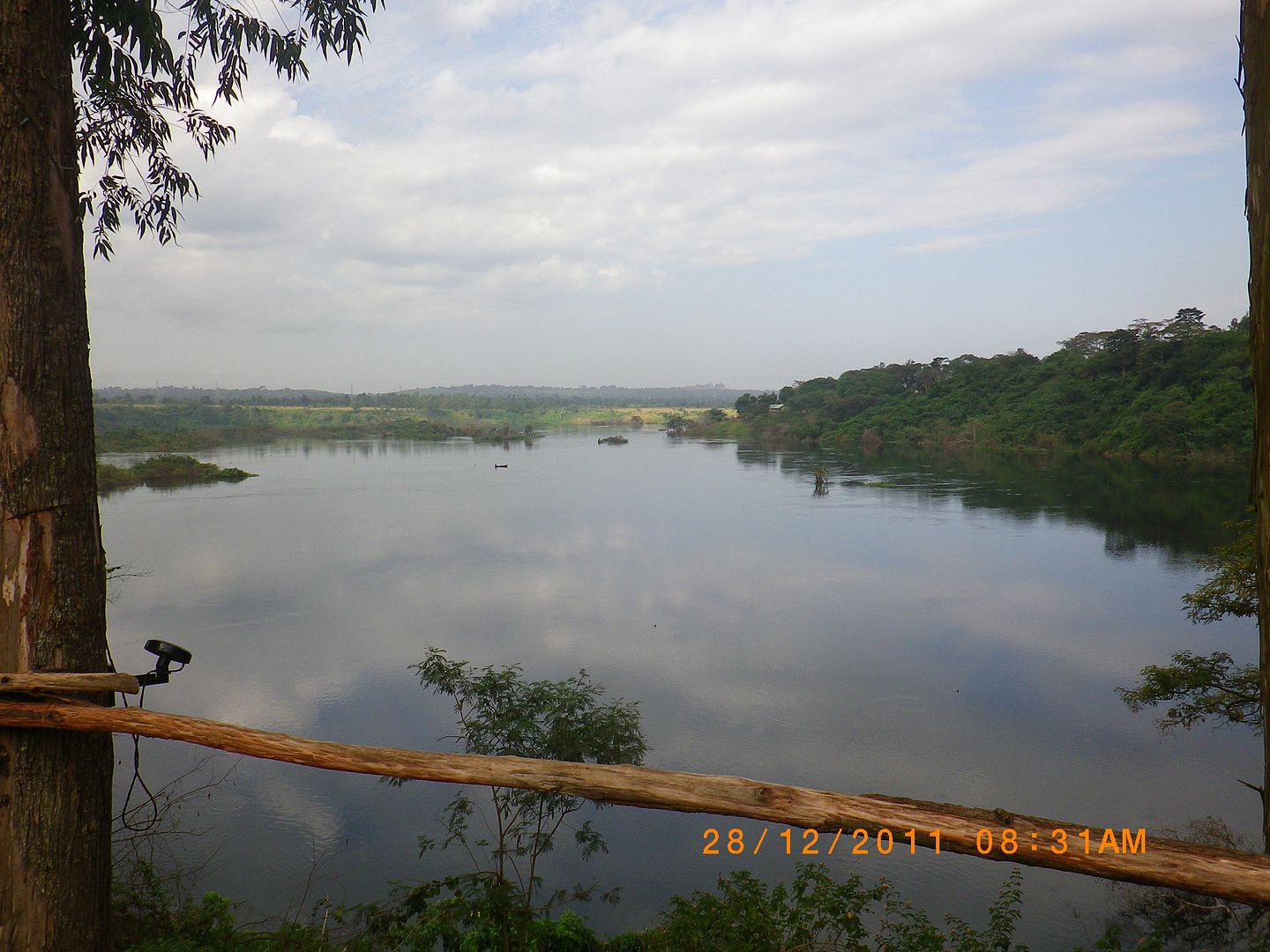
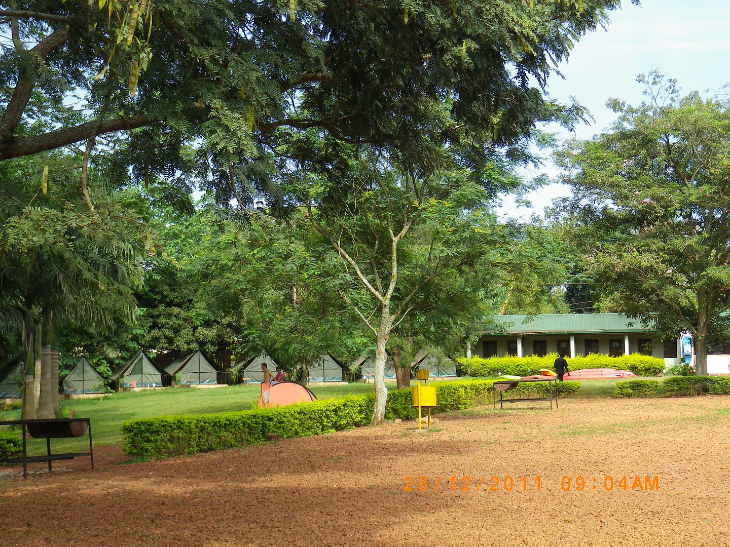
After crossing over we turned left in the direction of the Bujagali Falls and travelled north along the eastern side of the Victoria Nile. We found lovely accommodation at the Nile River Camp and booked ourselves into a tented camp with awesome views of the river.


IMG_8630.jpg


IMG_8632.jpg


IMG_8638.jpg


IMG_8642.jpg


IMGP0881.jpg


IMGP0876.jpg


IMG_8541.jpg


IMG_8644.jpg


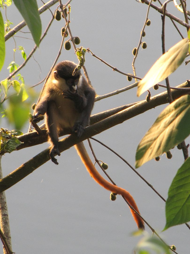
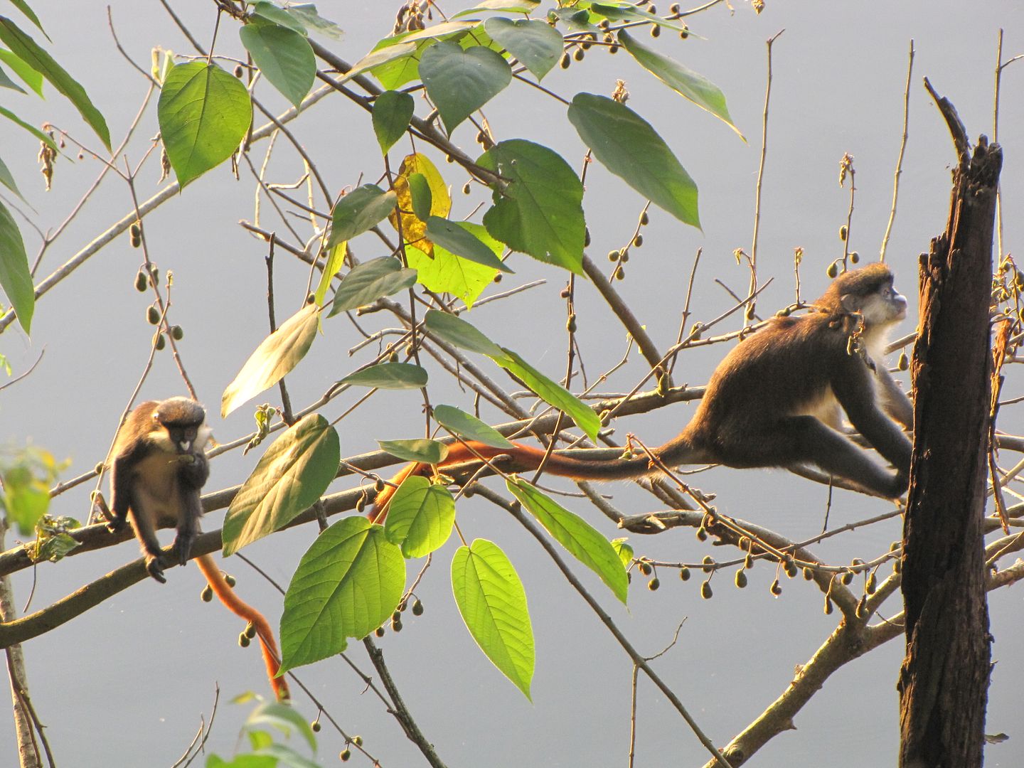
For the rest of the afternoon I was entertained by the cutest red-tailed monkeys feeding in the trees in front of our tent.

IMG_8555.jpg


IMG_8552.jpg


After a much needed shower we headed for the local pub and enjoyed something to eat and drink. Went to bed absolutely exhausted.

IMG_8660.jpg


REST DAY – JINJA
Day 19:  28 December 2011

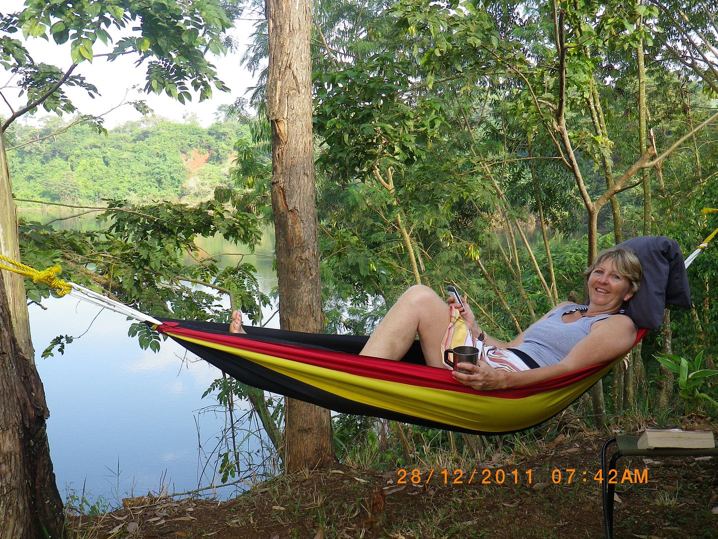
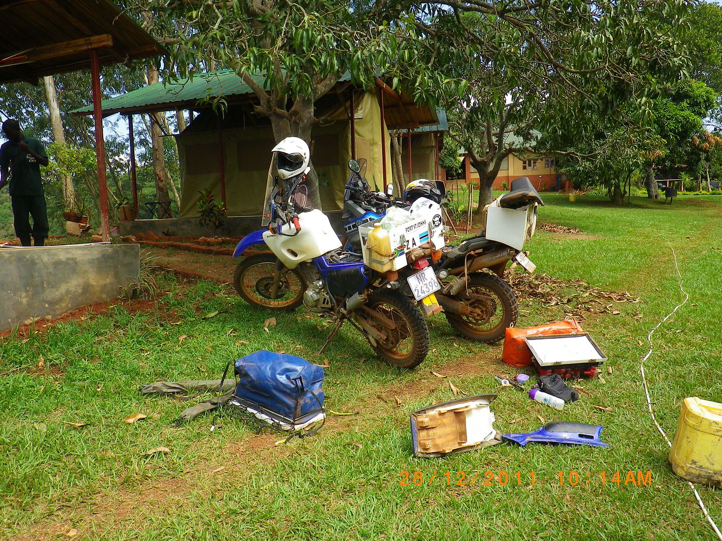
We decided to spend an extra day here as both bikes needed a bit of attention and TLC. As a result I enjoyed a lazy morning relaxing in the hammock, reading and soaking up the stunning views while Kingsley spent his morning doing some much needed maintenance on both bikes.

IMGP0850.jpg


IMGP0852.jpg


IMGP0879.jpg


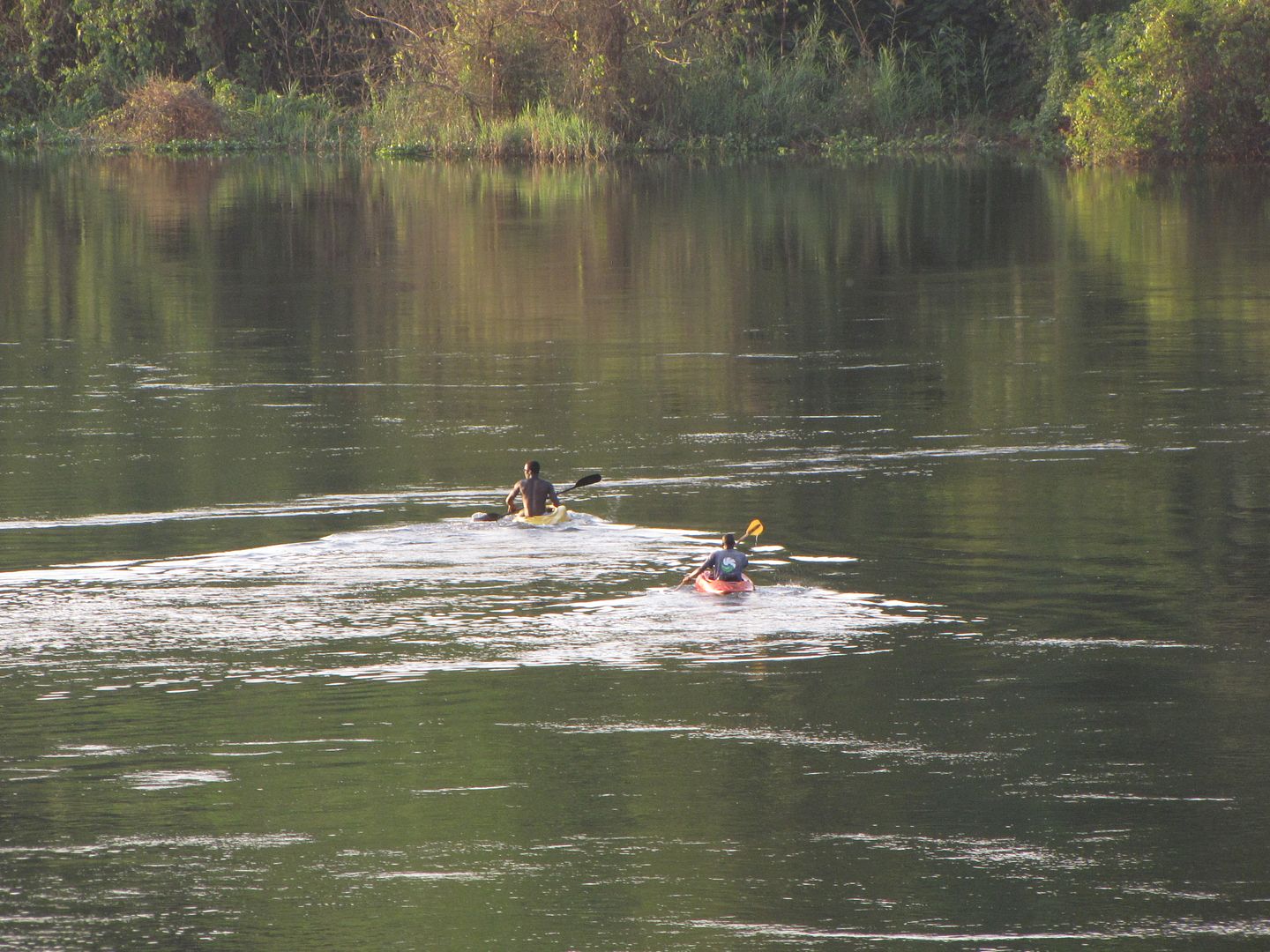
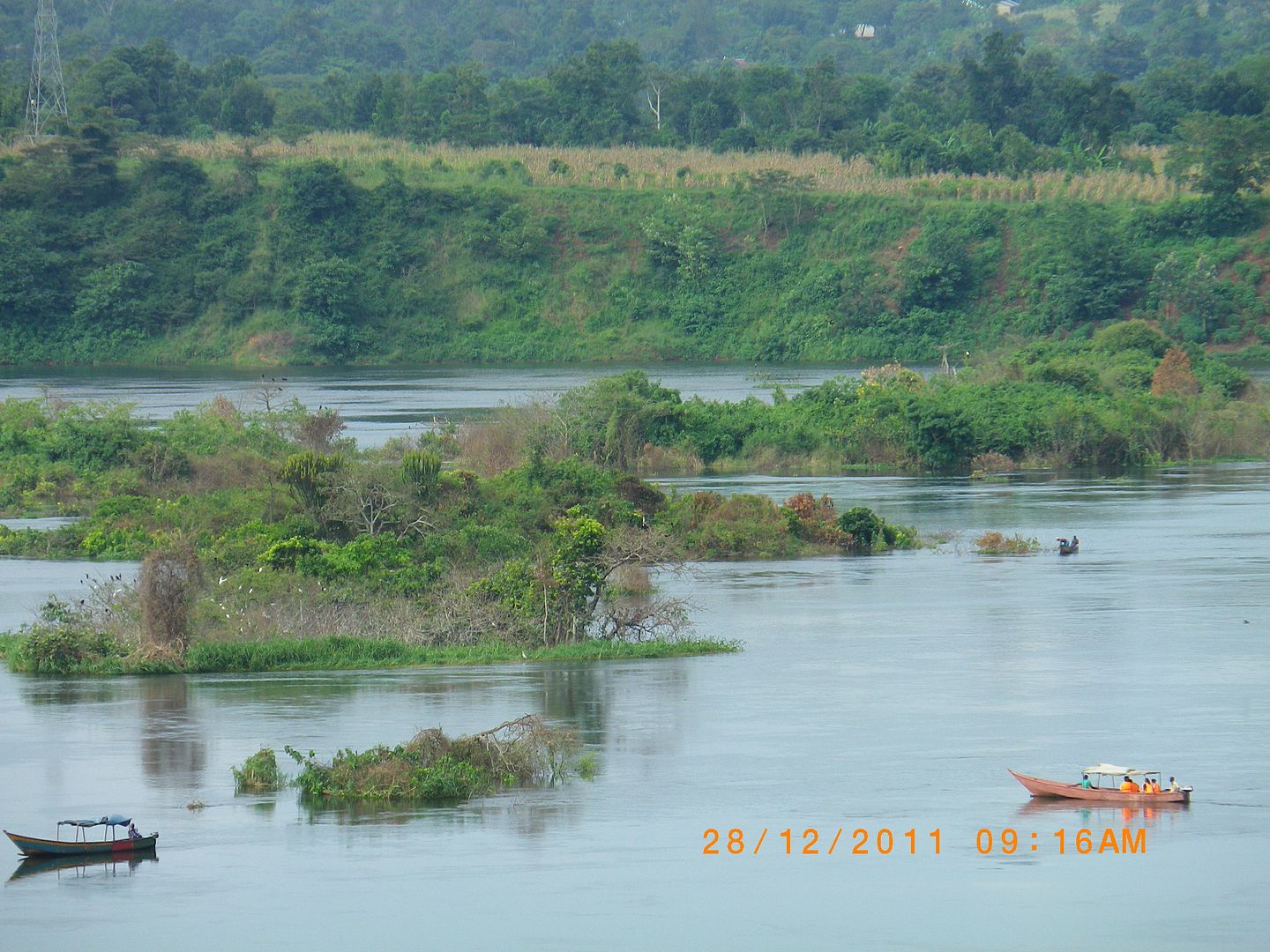
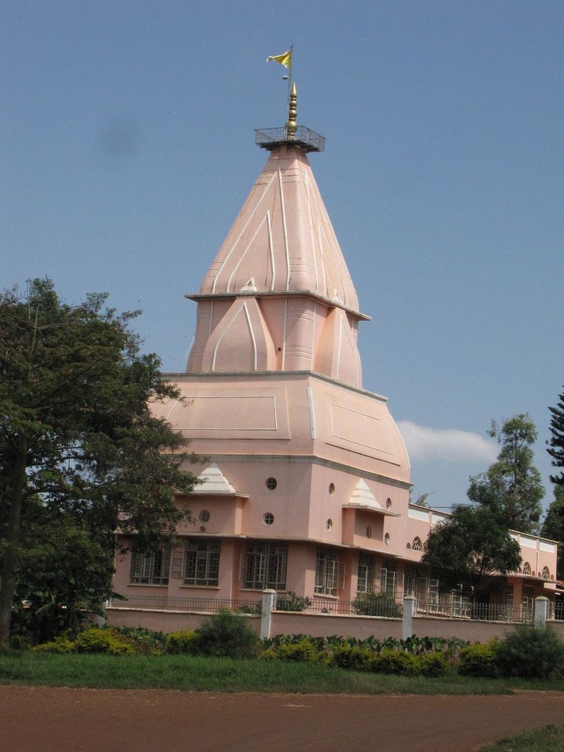
We also took a walk around to check out the place and what it had to offer. This was a very popular spot for white-water rafting and kayaking and over time the eastern bank between Jinja and Bujagali falls developed into East Africa’s premier adventure-tourism centre. However, since about November last year these impressive series of rapids ( Bujagali Falls) are no longer as they have been flooded over due to the construction of a hydro-power dam 3km downstream at Dumbbell Island. Never-the-less it’s still a magic place to visit.


IMGP0868.jpg


IMGP0869.jpg


IMGP0857.jpg


IMGP0863.jpg


IMGP0866.jpg


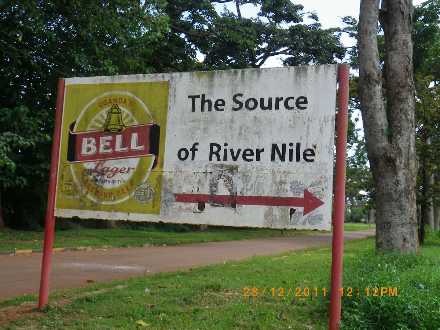
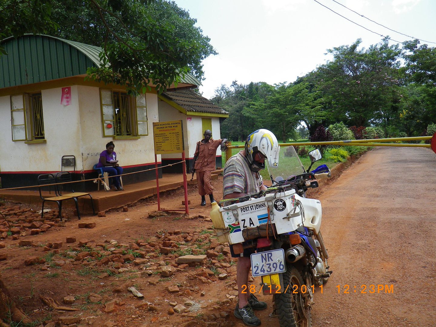
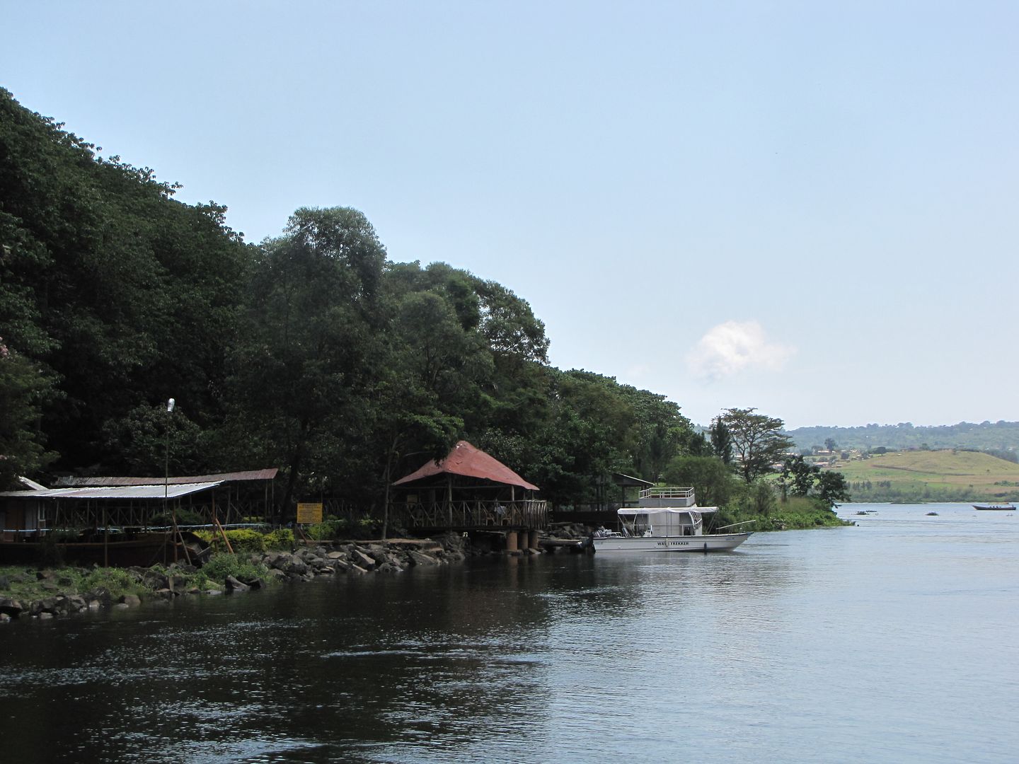
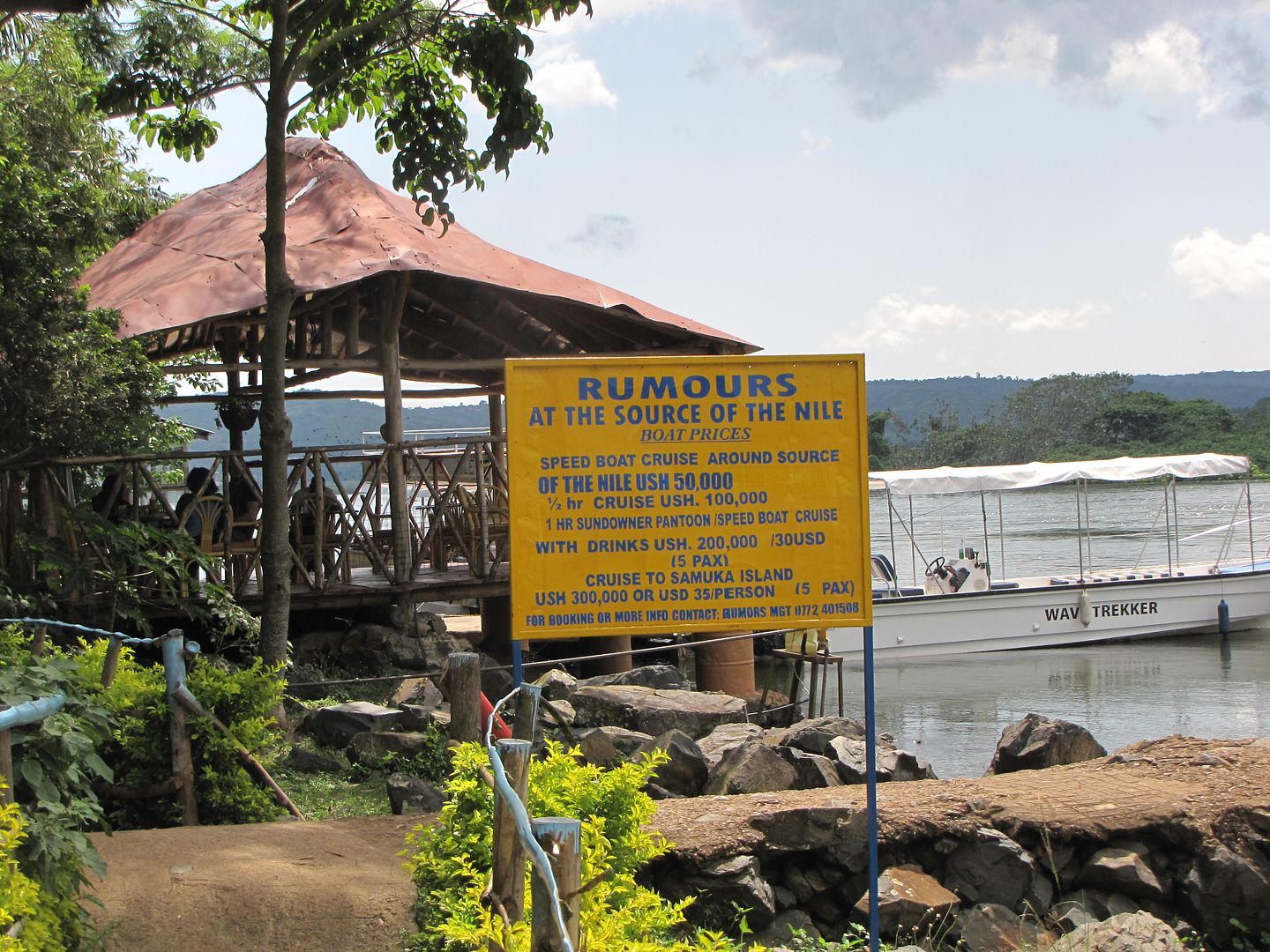
When all the maintenance was complete we took a ride south to the Source of the Nile. It cost us 20 000 shillings (+/- R60 ) to enter.


IMGP0890.jpg


IMGP0891.jpg


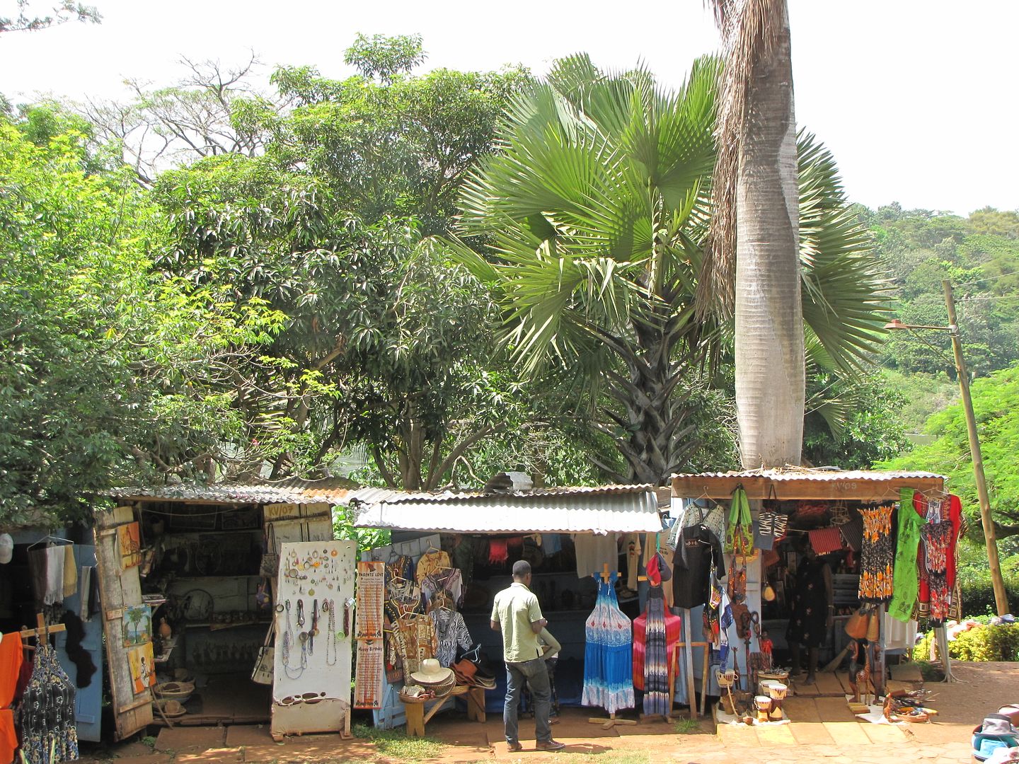
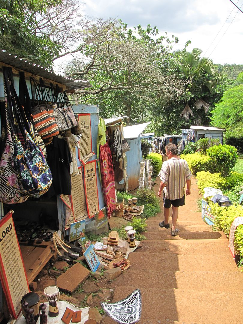
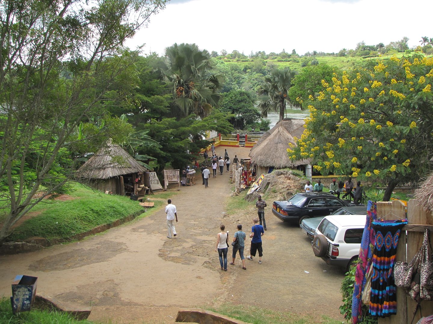
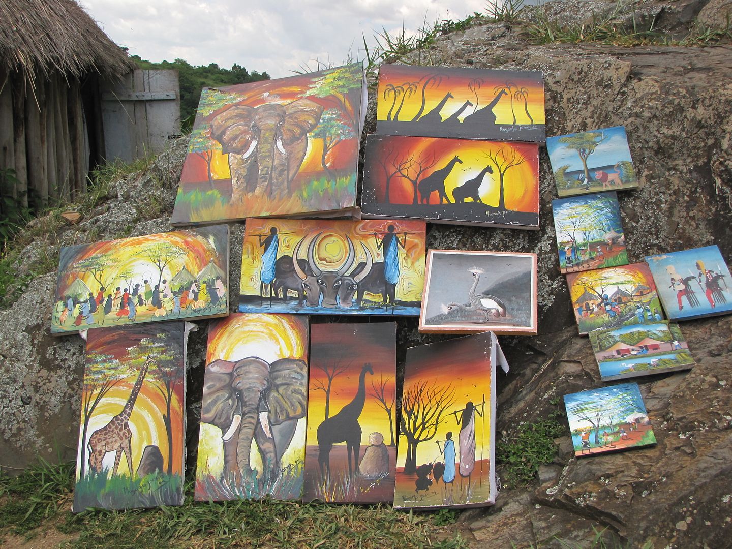
After parking the bikes we passed by typical, colourful African Curio stalls – these resemble the ones back home.

IMG_8559.jpg


IMG_8561.jpg


IMG_8563.jpg


IMG_8564.jpg


IMG_8566.jpg


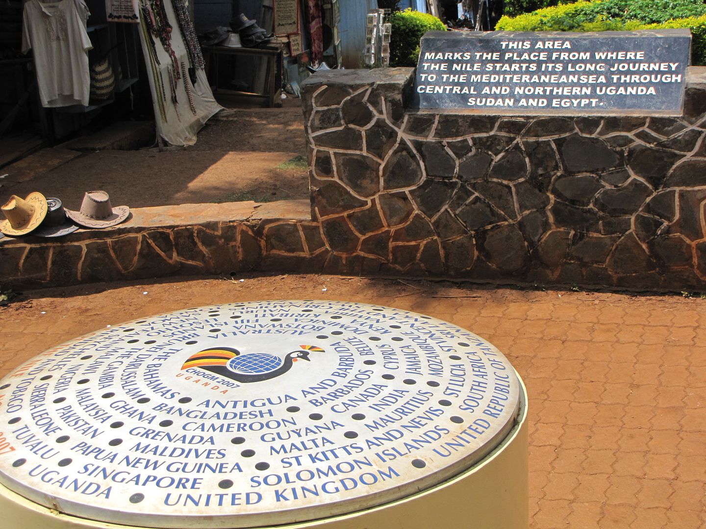
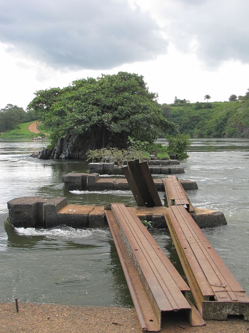
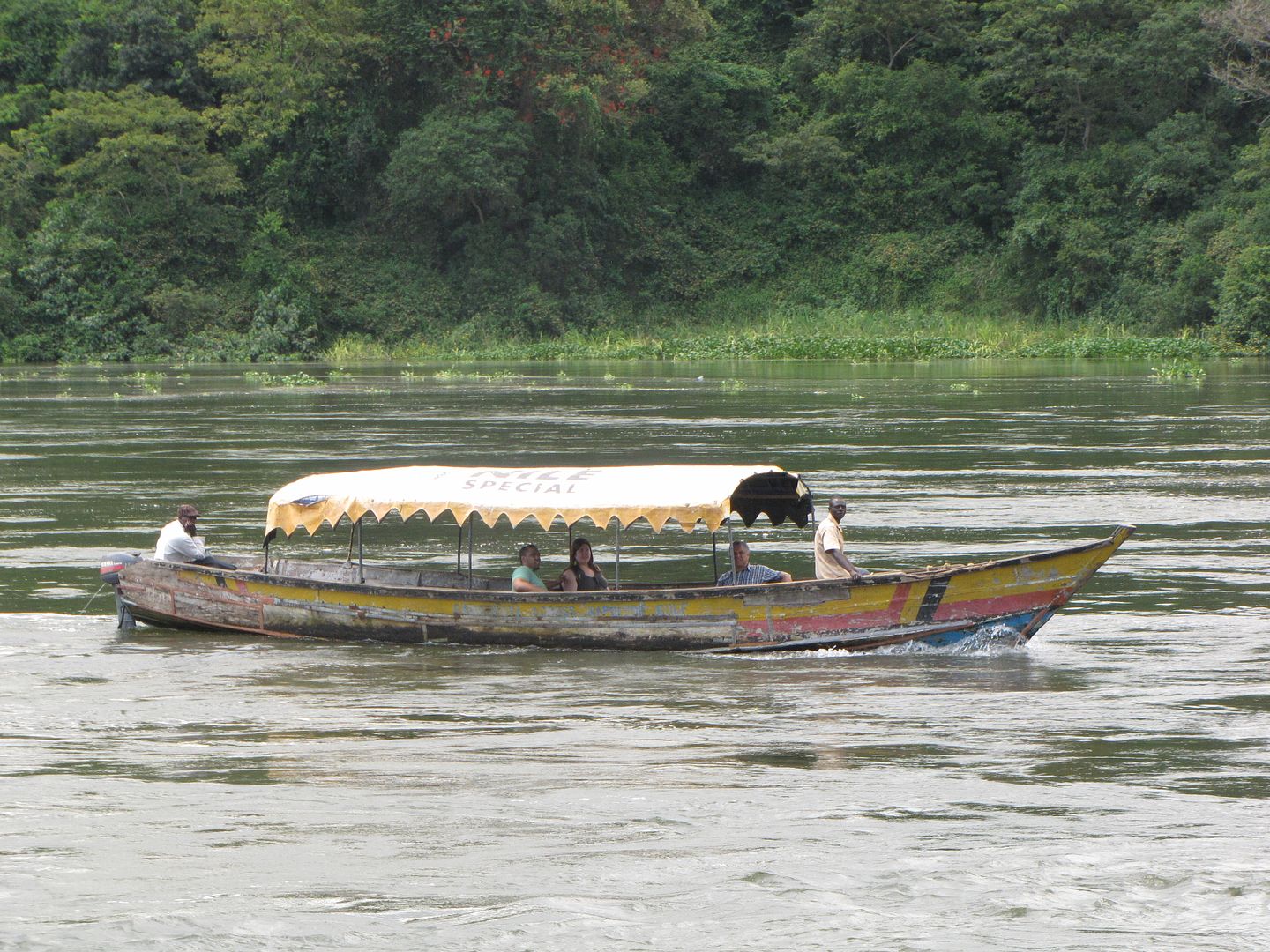
What struck us immediately was the shabbiness of the whole set up. As we got to the edge of the river we were aware of litter and the remains of a broken bridge that once led to a little island. We walked along a shabby pathway further up the river to a restaurant and had something to drink. They were offering boat rides for the tourists which we declined. I’m not too sure what I expected to see here but it was a bit of a letdown. I guess I would have liked to see more of the vastness of Lake Victoria.


IMG_8569.jpg


IMG_8571.jpg


IMG_8576.jpg


IMG_8568.jpg


The Nile is the world’s longest river, flowing for 6 650 km. It has two major sources, the White Nile    ( also known as the Victoria Nile )which flows from Lake Victoria near Jinja, and the Blue Nile which flows from Lake Tana in Ethiopia. After leaving Lake Victoria it flows northwards through the swampy Lake Kyoga then veers west to descend into the Rift Valley over Murchison Falls and it empties out into the northern part of Lake Albert. From here it continues north as the Albert Nile where it merges with the Blue Nile at Khartoum in the Sudan about 3000 km from Lake Victoria. It then works its way north to Egypt where it enters the Mediterranean.

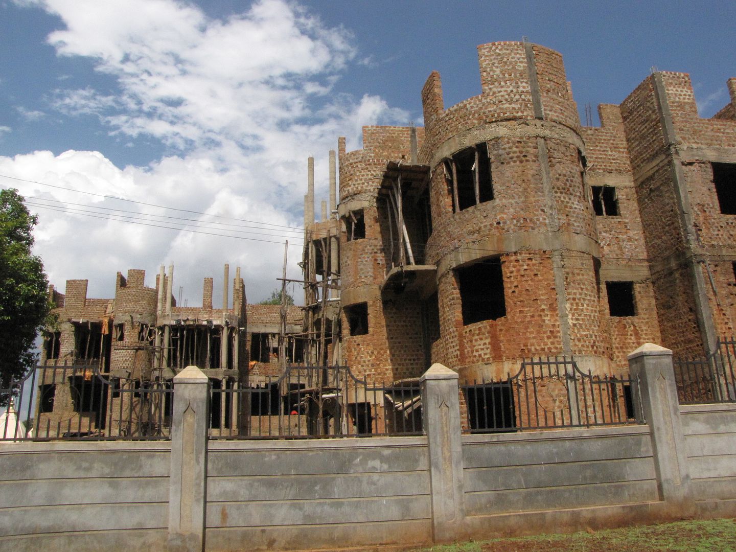
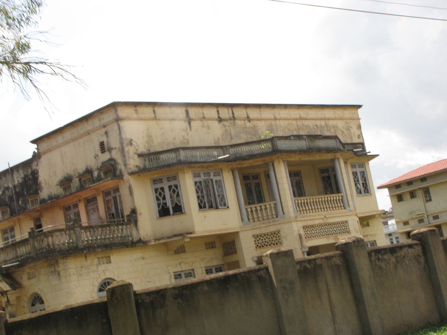
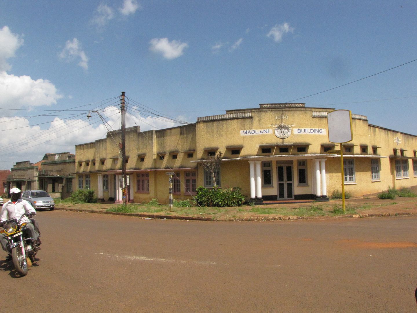
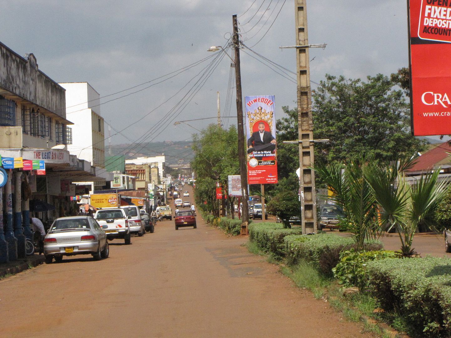
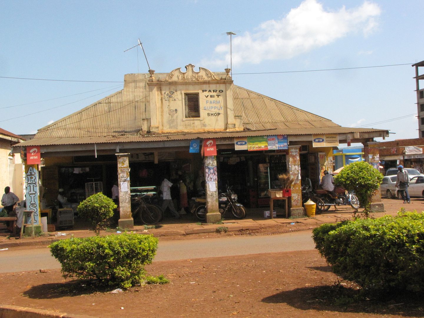
We headed back to camp via the town and below are a few photos of the interesting architecture within Jinja.


IMG_8582.jpg


IMG_8585.jpg


IMG_8586.jpg


IMG_8588.jpg


IMG_8590.jpg

Main street in Jinja

IMG_8600.jpg


Back at camp we relaxed some more and received all our clean washing that had been done at the laundry. What a treat.  A beautiful sunset over the Nile River was a great ending for our last night in Uganda.


IMG_8665.jpg


NEXT........CROSSING OVER TO KENYA


Top