Simpson Desert - Kalahari Edition

This site may earn a commission from merchant affiliate links, including eBay, Amazon, and others.
Awesome read, thanks a lot for the effort. Will ask some questions once you're done with the report as this sounds like really doable trip in very unspoiled area  :thumleft:
 
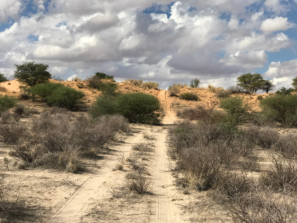
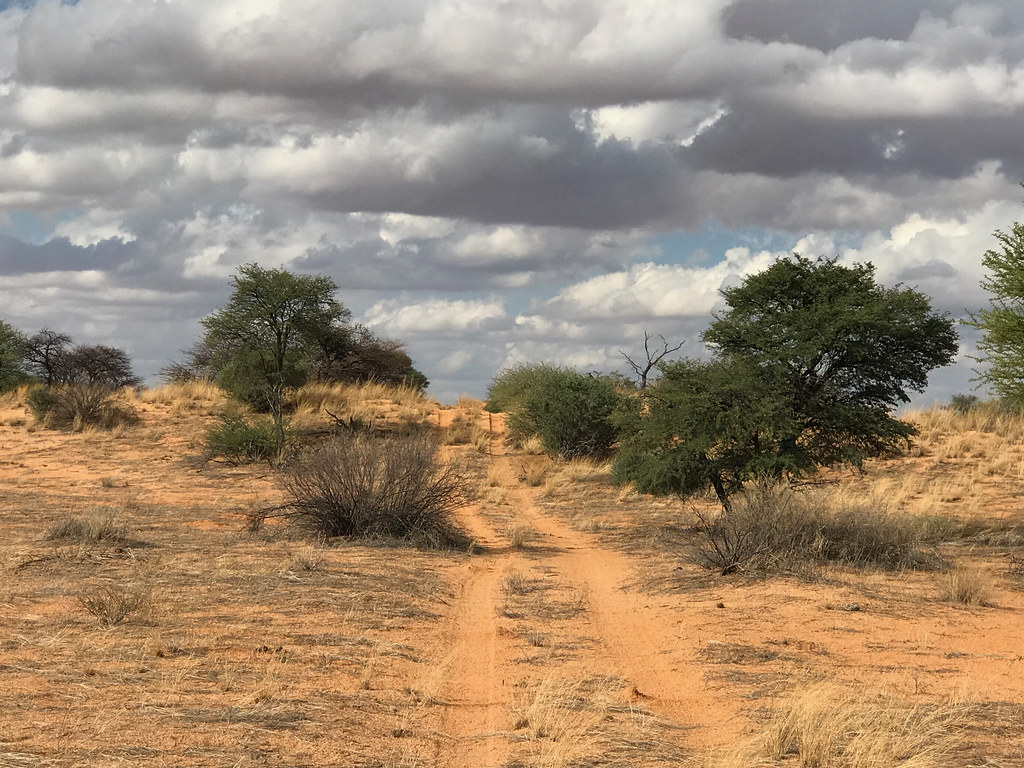
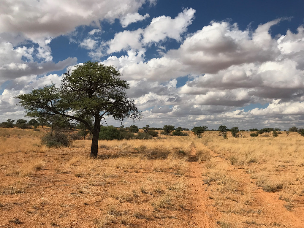
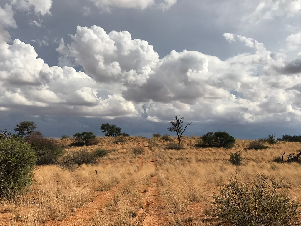
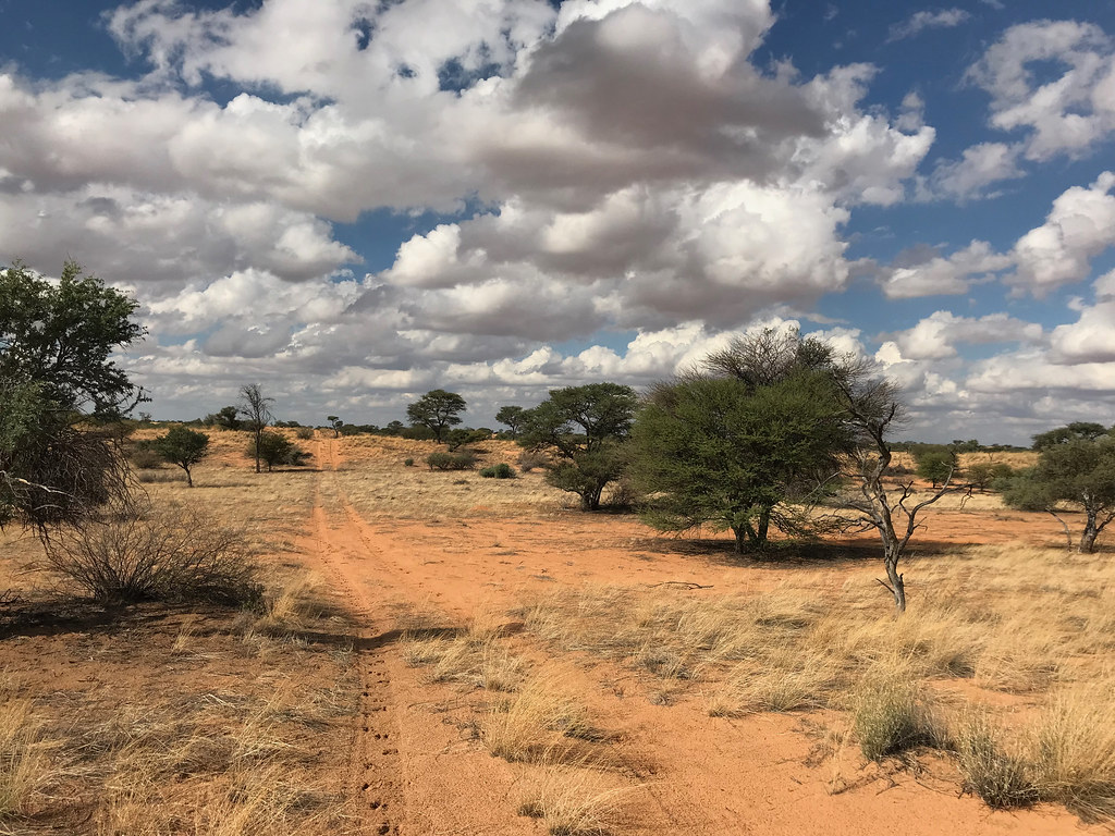
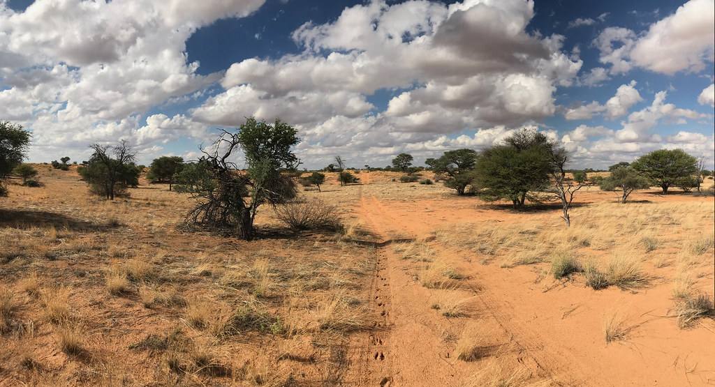
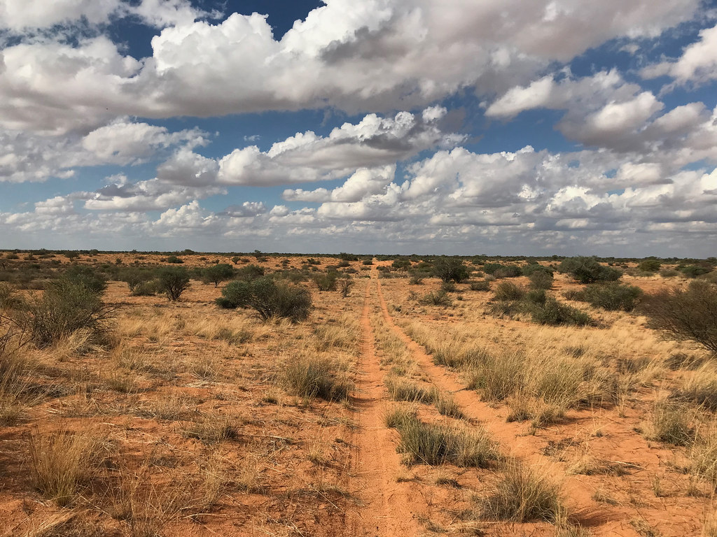
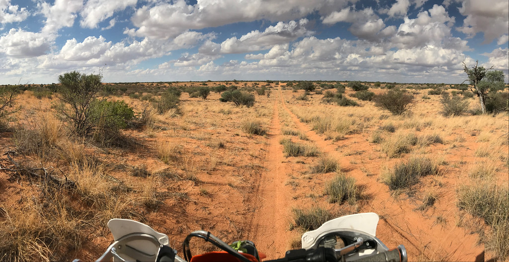
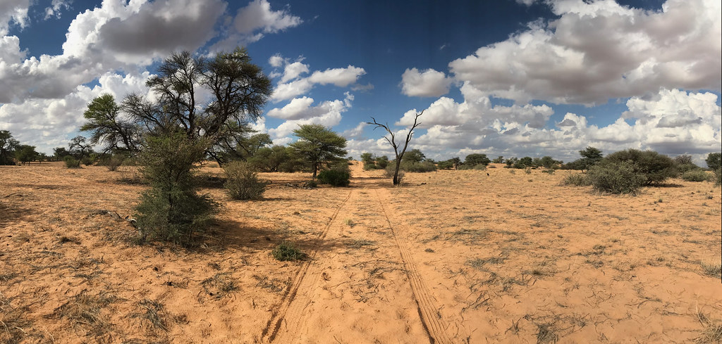
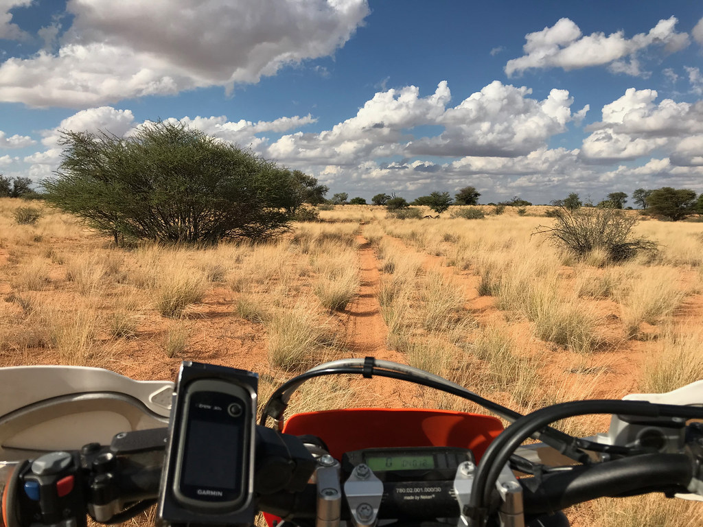
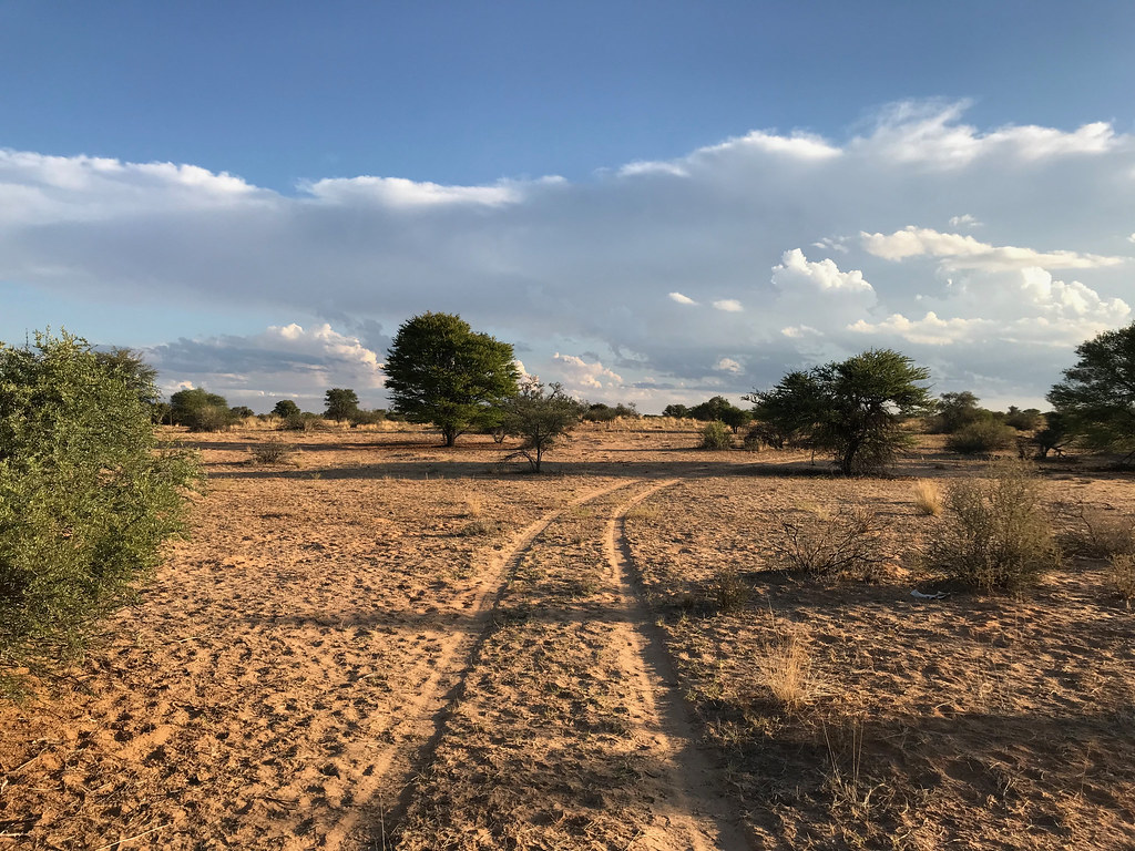
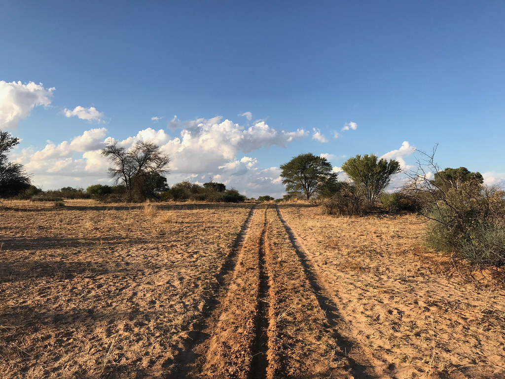
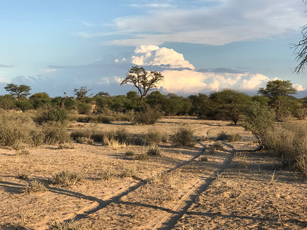
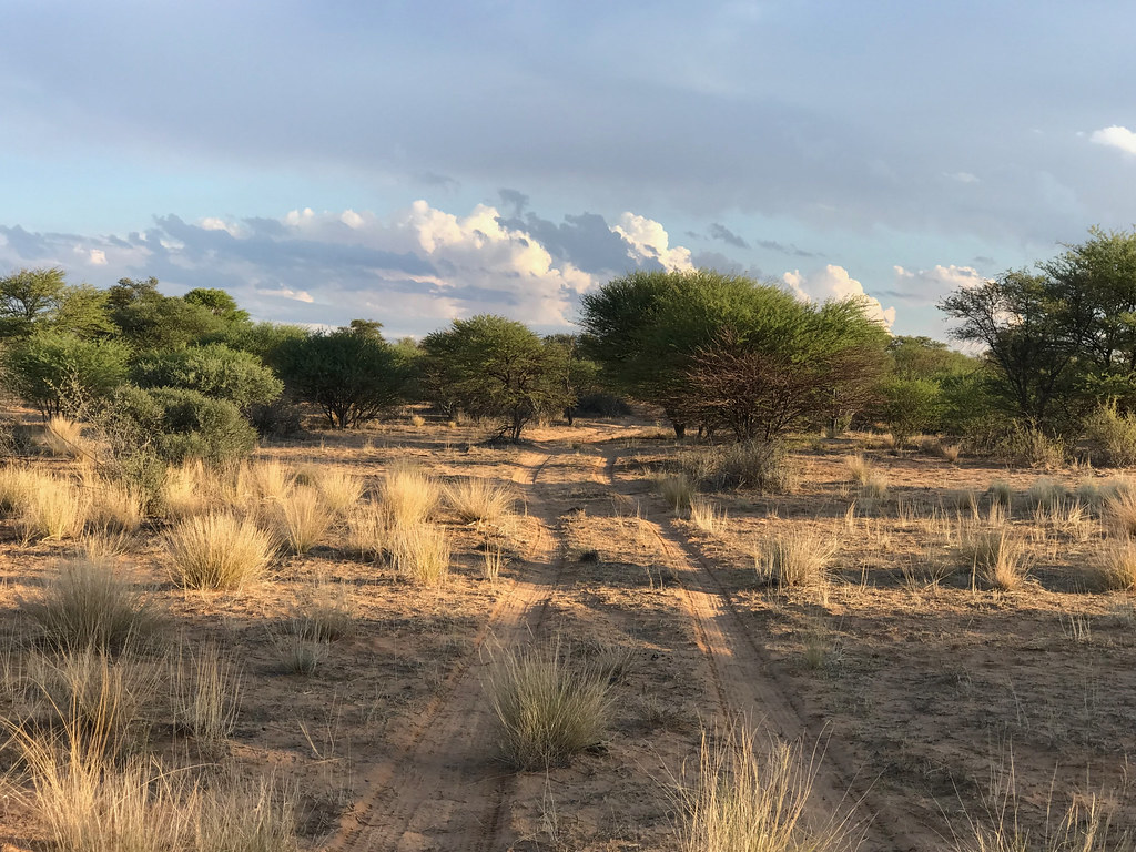
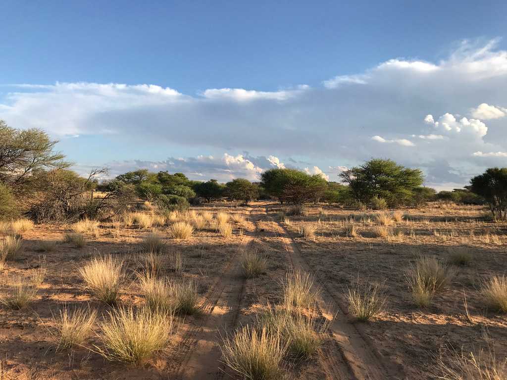
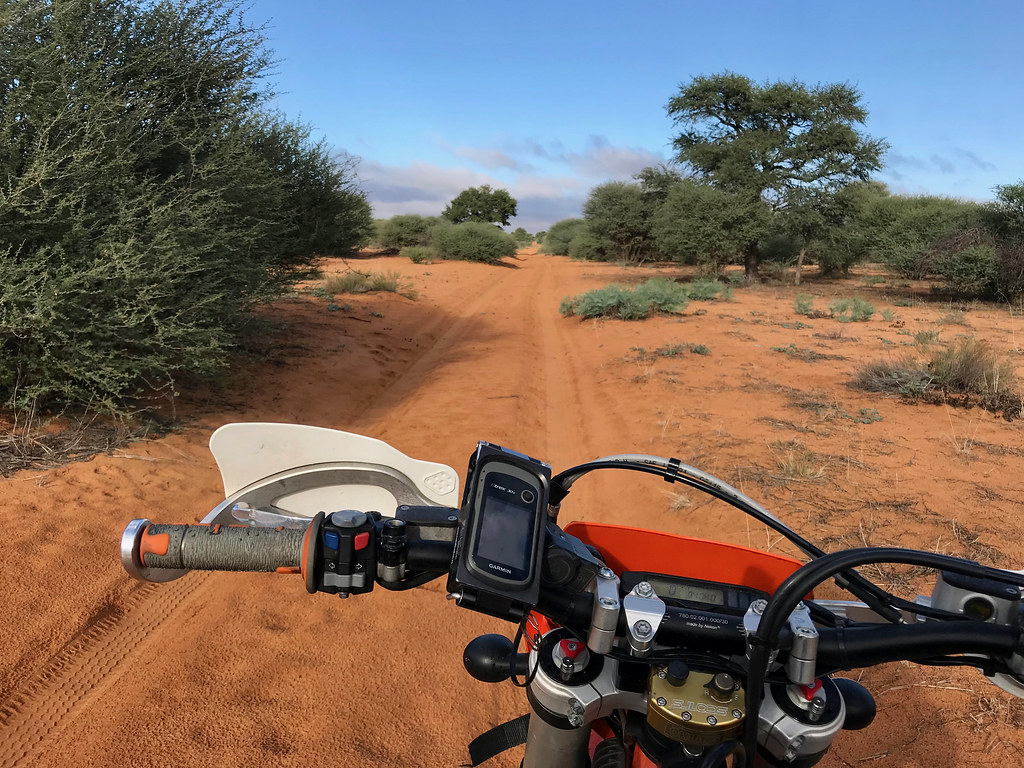
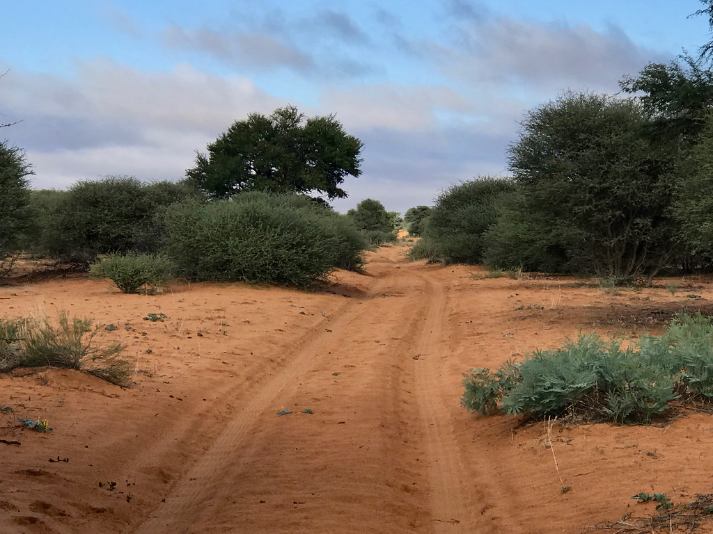
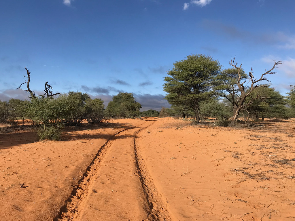
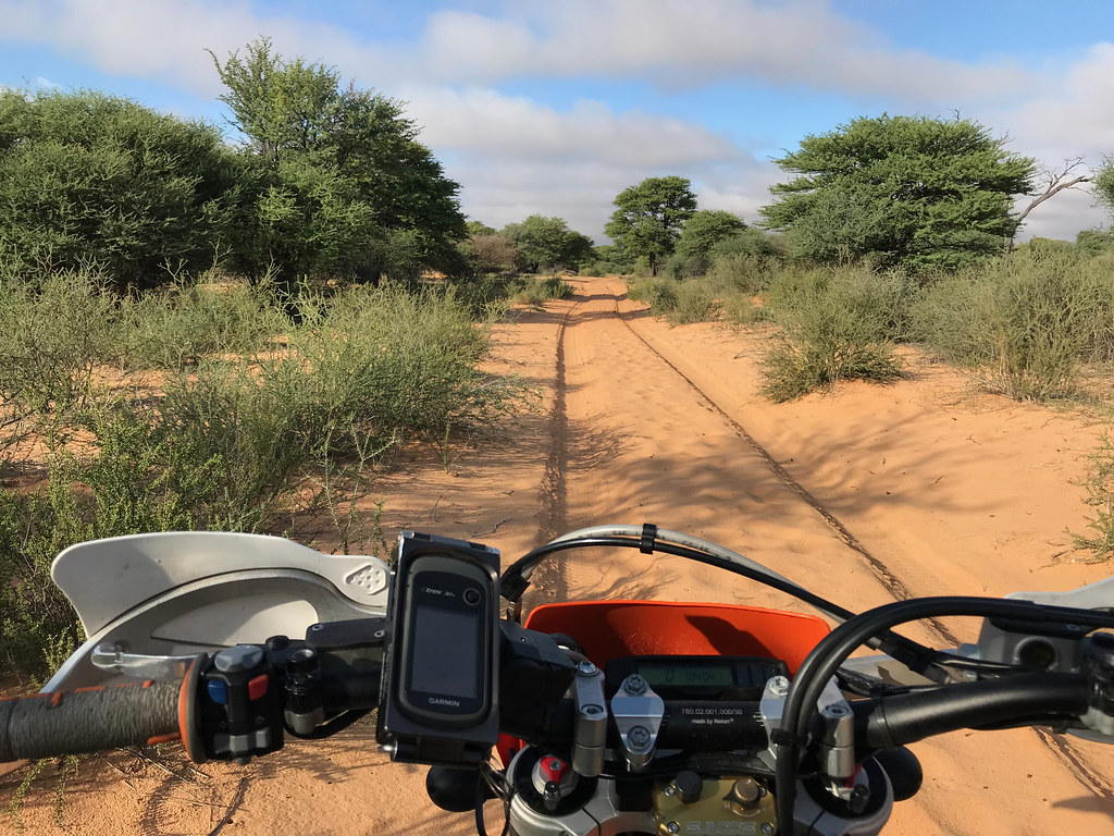
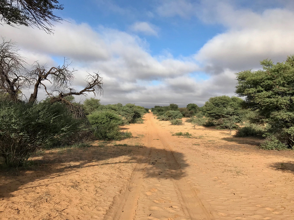
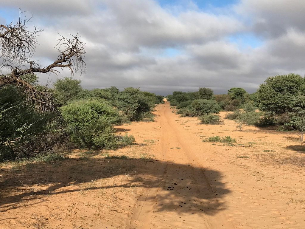
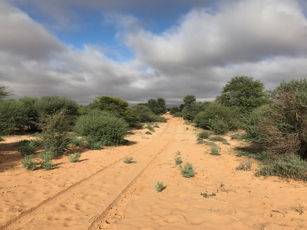
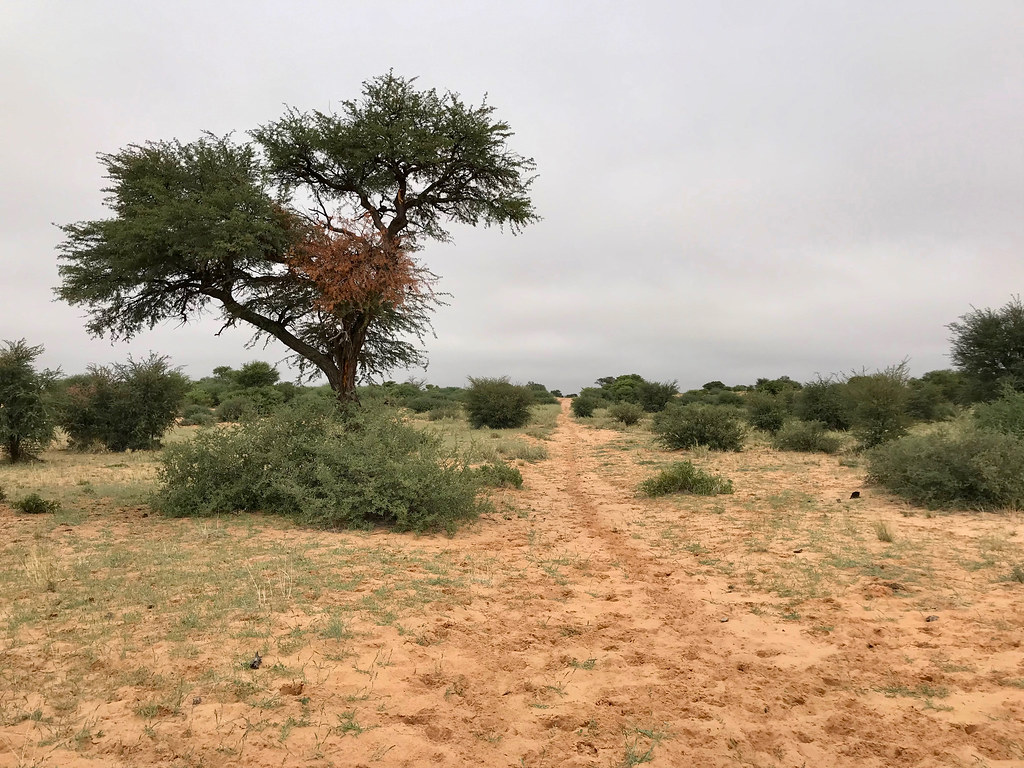
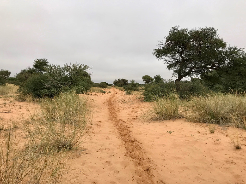
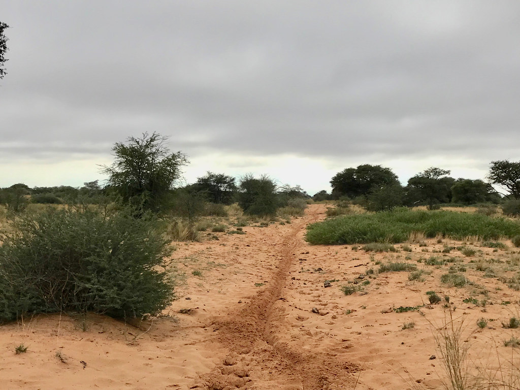
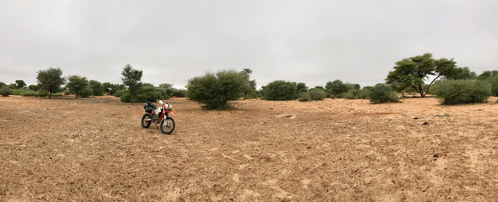
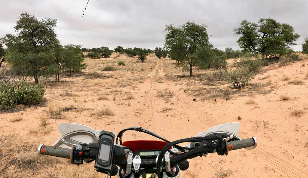
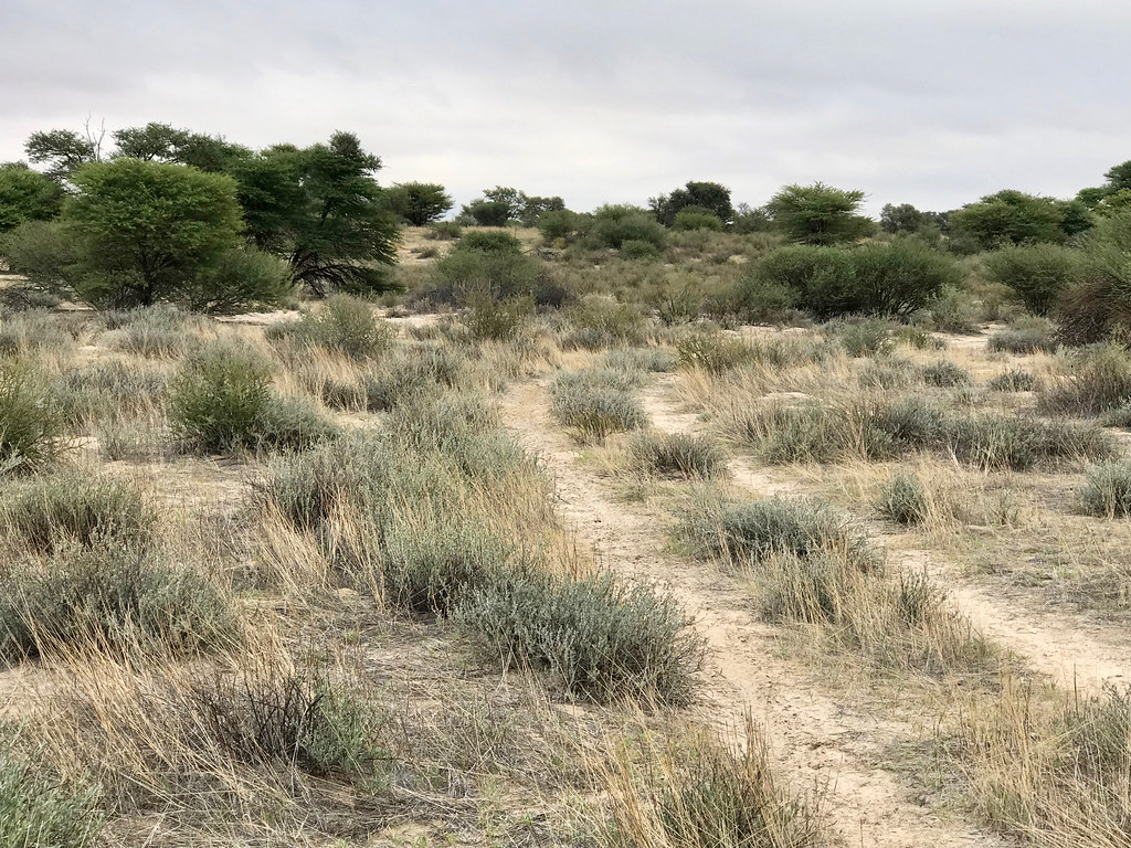
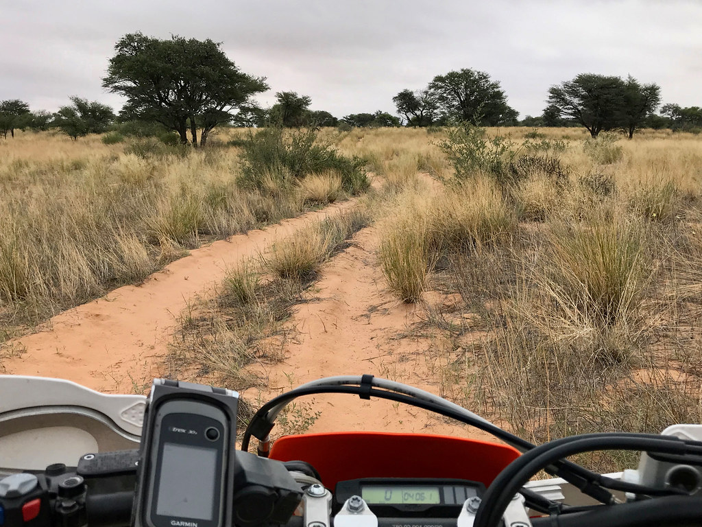
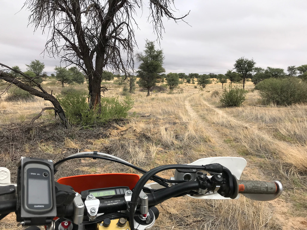
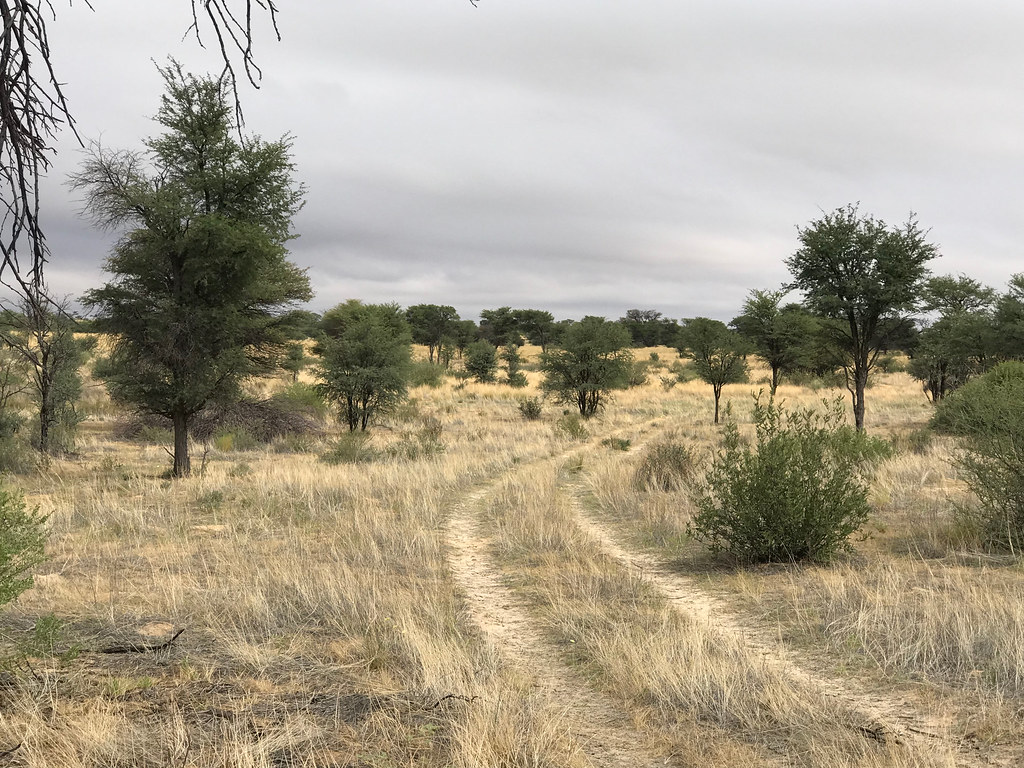
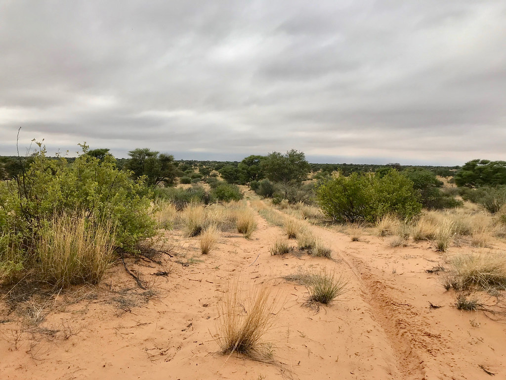
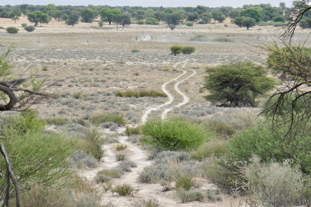
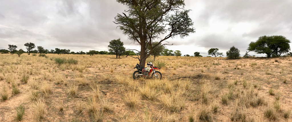
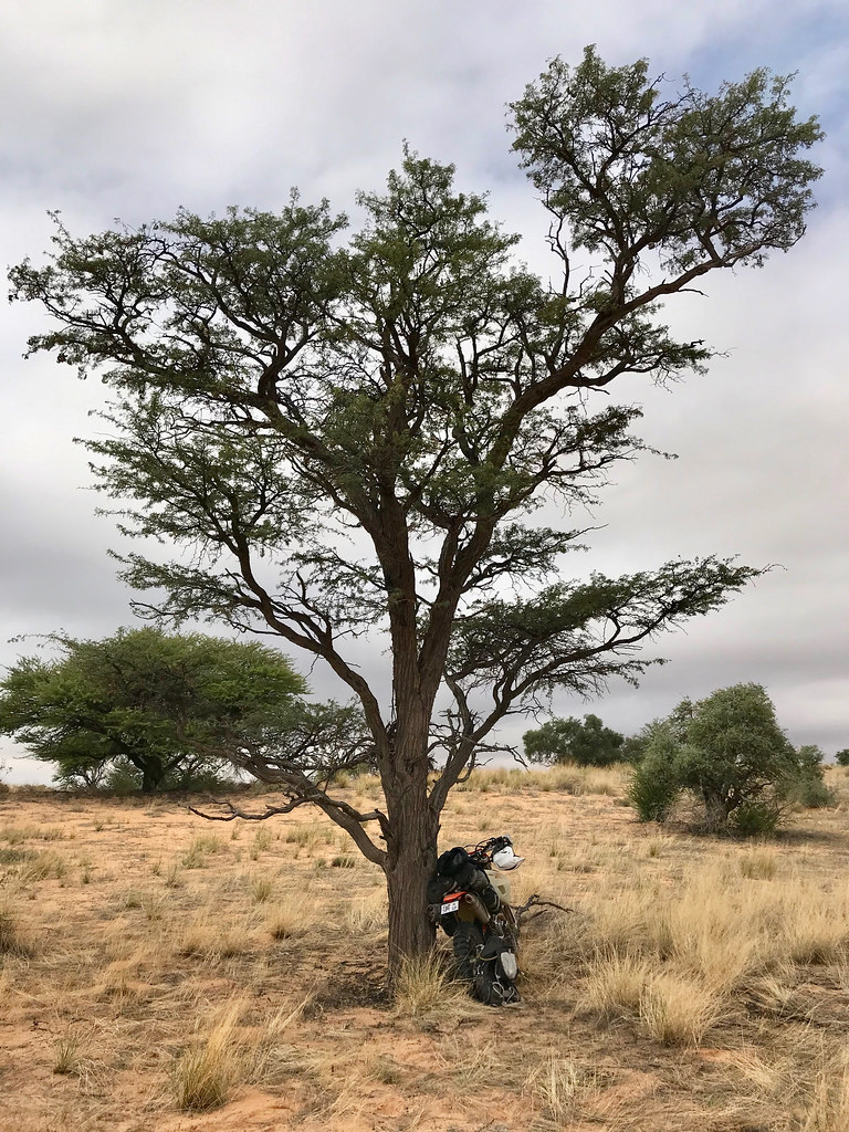
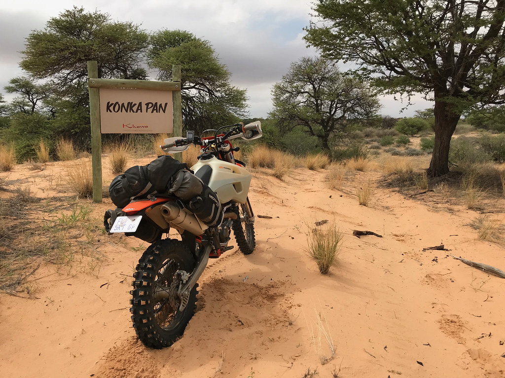
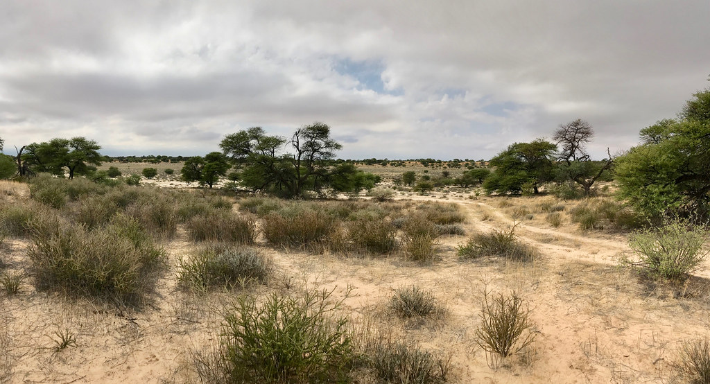
From Khawa I took the main dirt road heading south-east to Middelputs. After about 15 km I came to an suitably good looking turn-off heading more or less in my desired easternly direction and jumped on. The landscape changes past Khawa. It is sitll sand underneath with small rolling dunes for many km, but this time overgrown with vegetation and looking much more Serengeti-ish/savanah-ish. One can almost feel the lions staring at you from the tall grass.

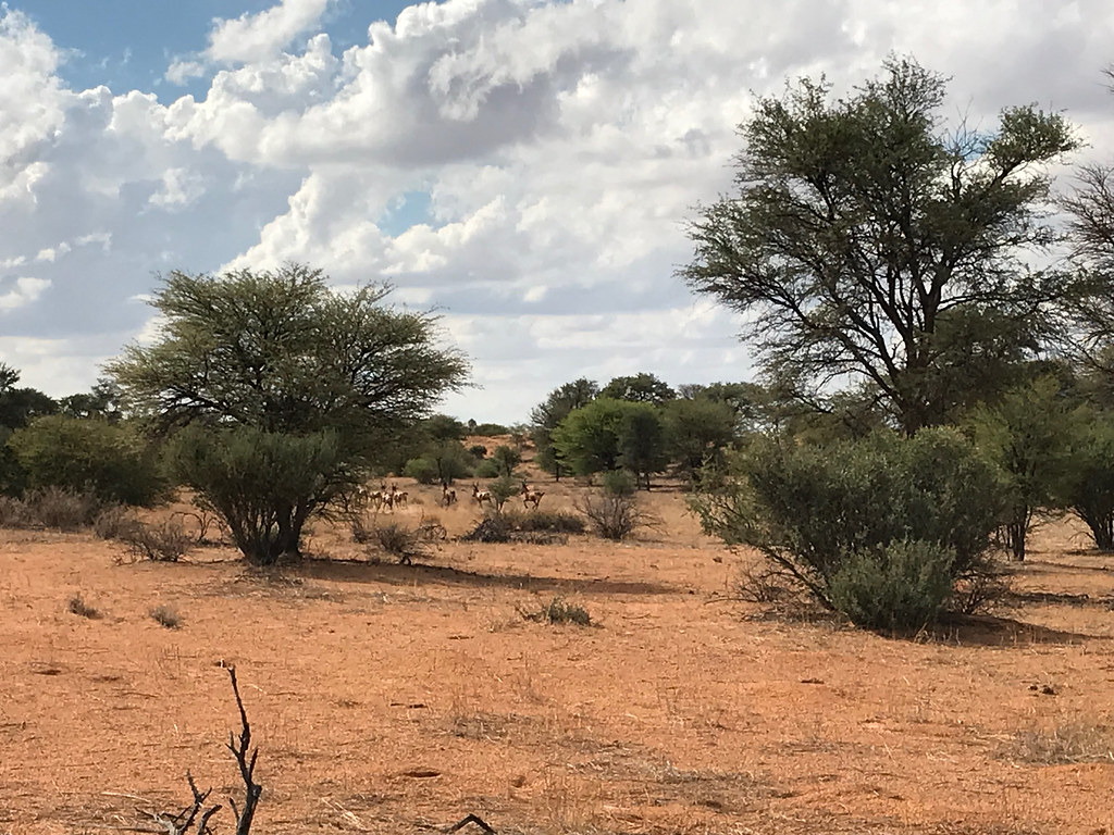
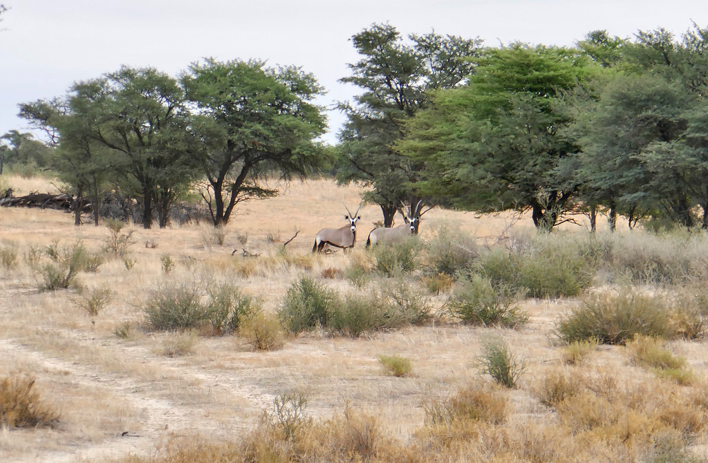
Unfortunatelly I had no luck in flashing any cats out, but I did run into plenty of game - mostly ostriches and variety of big boks, such as oryxes and sabre antelopes (I think). I didn't score almost any presentable photos of them as they tended to duck fast and by the time I got my camera out they were too far. So you will have to just believe me...


40744822113_4570b51742_b.jpg


32767896477_30c8160773_b.jpg


Here crap picture of some of what I think were sabre antelopes:


40744835113_7579f59f03_b.jpg


40744839703_b35e41db4f_b.jpg


32767915627_937871d217_b.jpg


40744847843_39ba60d8cd_b.jpg


47711335931_30a85dddf3_b.jpg


47711339381_4f175c24e4_b.jpg


33834079678_11c321cd8f_b.jpg


47711352031_f1059ae714_b.jpg


32767945567_1a7343481c_b.jpg


Looks like small buffalo to me, but I may be wrong:


33834101468_63e2d6bf56_b.jpg


47711367221_9af56d61e3_b.jpg


47711370531_0c116abde9_b.jpg


47711373091_63aa7525a3_b.jpg


46795253025_2eca305276_b.jpg


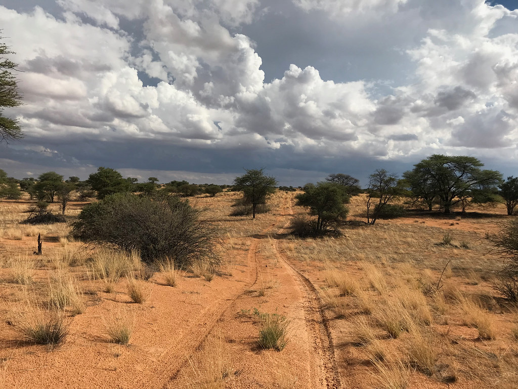
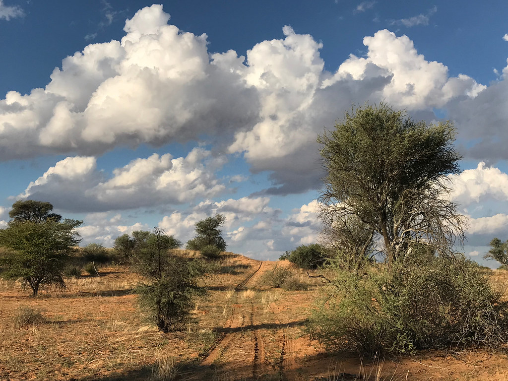
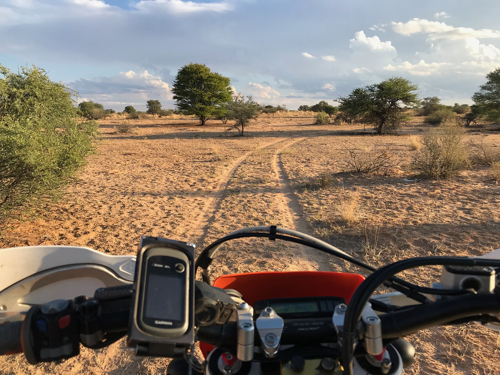
After about 70 km from Khawa I came upon the dreaded fence. By now it was getting late with sun slowly setting in the west and looking at my petrol level I realized that I don't have enough margin to go looking for a track around the ranch, as I didn't have a clue how big it was. So I run out of the options, turned south and headed for Middelputs about 70 km partly off-piste and partly on one of the numerous tracks I randomly came about. The setting sun make for some stunning colors and surfing the winding tracks trough the bush was yet again out of this world - sadly I was in a hurry to outrun the setting sun so didn't manage the really good photos underpinned by deep red sand background. On the positive note - I could focus fuly on the riding and really savoured every second of it.


47658369602_afae4a6e68_b.jpg


47658375902_c6da93bdb0_b.jpg


33834176318_72e6994c3e_b.jpg


47658399342_533cf7f8e5_b.jpg


46795278615_bf069b34bb_b.jpg


47711421131_f33bc2b36b_b.jpg


I arrived at Middelputs just past the sunset at about 18:00. It was completely dark by then. I made it to the police station and told the police lady at duty that I will be taking my car. There is no accommodation (and more importantly steak) in Middelputs. So I decided to pack the car and head for overnight at Tsabong about 100 km away, where I knew a guesthouse with restaurant (kind of). It would also position me better for exploration next day, when I wanted to try to find connection from Tsabong side to the point where I had to turn around today - i.e. the route around the ranches. Plus the base would be closer to Joburg for the return leg home.

Driving in dark in Botswana is never great option, but admitedly much easier in bakkie than on bike (that is plain stupid with all the animals milling around). I made it to Tsabong at about 7:30, got room and was even able as the only customer to score pork ribs (the 'restaurant' has basically one course for night offer - no menu).

I'm repeating myself, but this was one of the best days of riding have done in a long time, probably ever. The combination of freedom of big open space, magnificent dunes, smooth wet sand and spectacular cloud cover made for a very very memorable experience.
 
Day 4 - Tsabong to Tsabong
(total 265 km, out of which 25 km of dirt road)


In the morning I got the bike off the bakkie, packed up and set-off at about 8:00 am The plan for the day was to explore west and try to find track through those ranches/fences I run into yesterday. If successful, I wanted then explore the bush north ideally as far as the cutline running along the south-east boundary of Kgalagadi NP. And I wanted to have it all wrapped up and be back ideally by 16:00 as I wanted to cross back to SA the same day via McCarthy's Rust border post, that was open till 18:00.

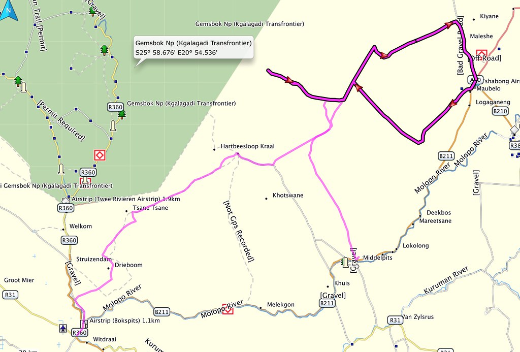
I have succeeded in all those, except reaching the Kgalagadi boundary. Here is the loop I have ended up doing (the highlighted red one):


32827924207_88cc87440f_b.jpg


I will save you the suspense - this day's riding, while great by any standards wasn't to live up the prior day's nirvana, because some portion of it was spent ruding along the ranch fences. Still good 240 km of prime Botswanian bush with crickets running all over is nothing to snub my nose at, just the prior day set the standard extremely high.


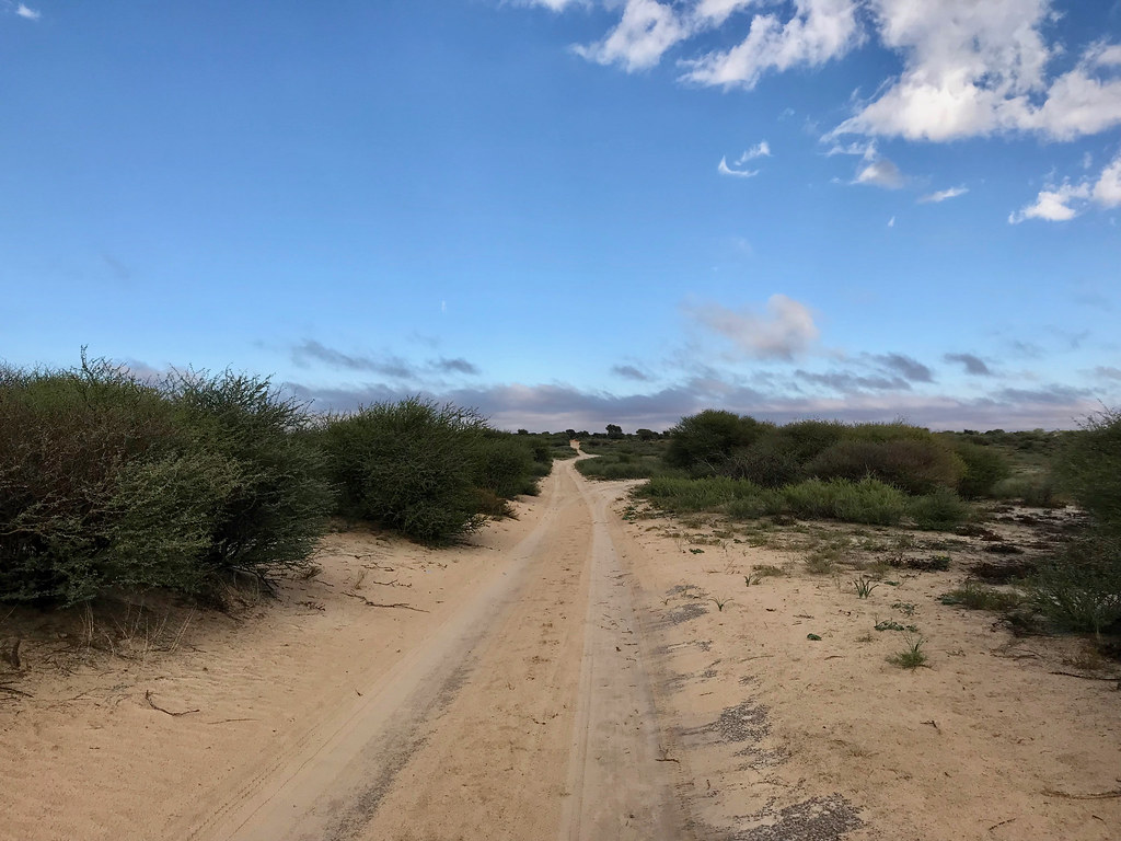
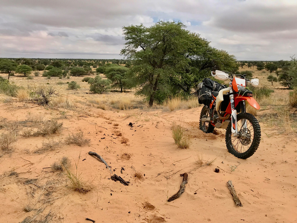
Straight out of Tsabong I have hit tracks that looked very promising with no fence in sight and morning light made for some nice bush scenery:


47770812121_9ae7114f5b_b.jpg


46981642944_29384627fb_b.jpg


33893834528_c94ce25d08_b.jpg


33893839848_1af9b4a9f3_b.jpg


33893844678_b65938bab6_b.jpg


46981665614_21607358dd_b.jpg


46981679304_85f30a4218_b.jpg


47718461222_13d15e5308_b.jpg


32827376227_9295f61fa5_b.jpg
 
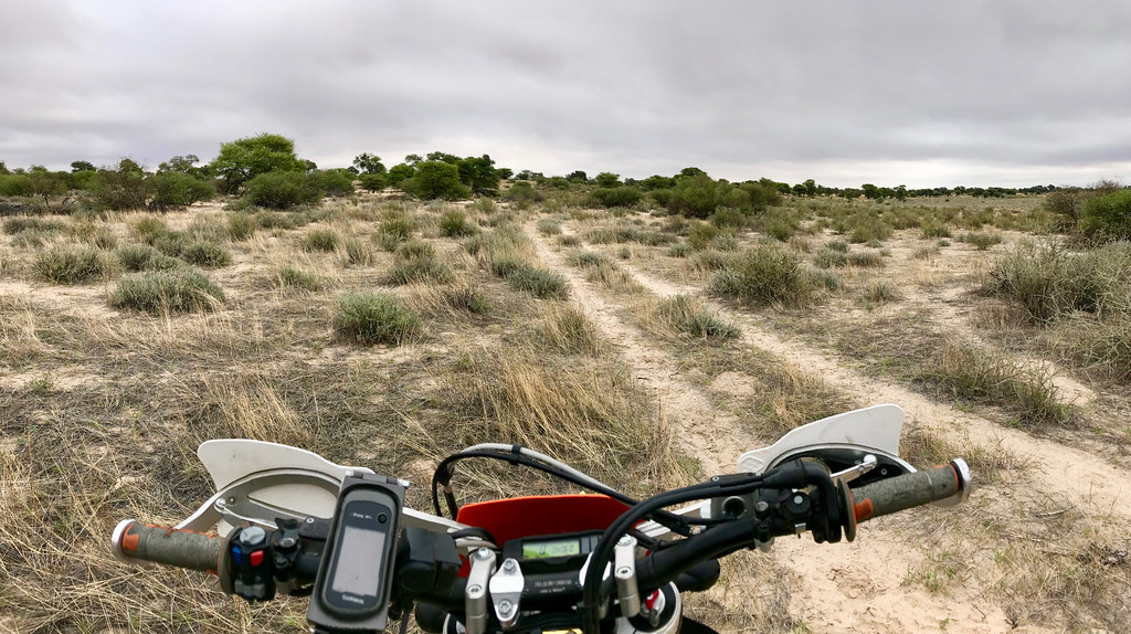
I see your tyre tracks mostly on top of the middle man.  Do you actually prefer riding there and not in the tracks?
 
Hondsekierie said:
I see your tyre tracks mostly on top of the middle man.  Do you actually prefer riding there and not in the tracks?

Yes it is easier - until you have to backtrack  :imaposer:

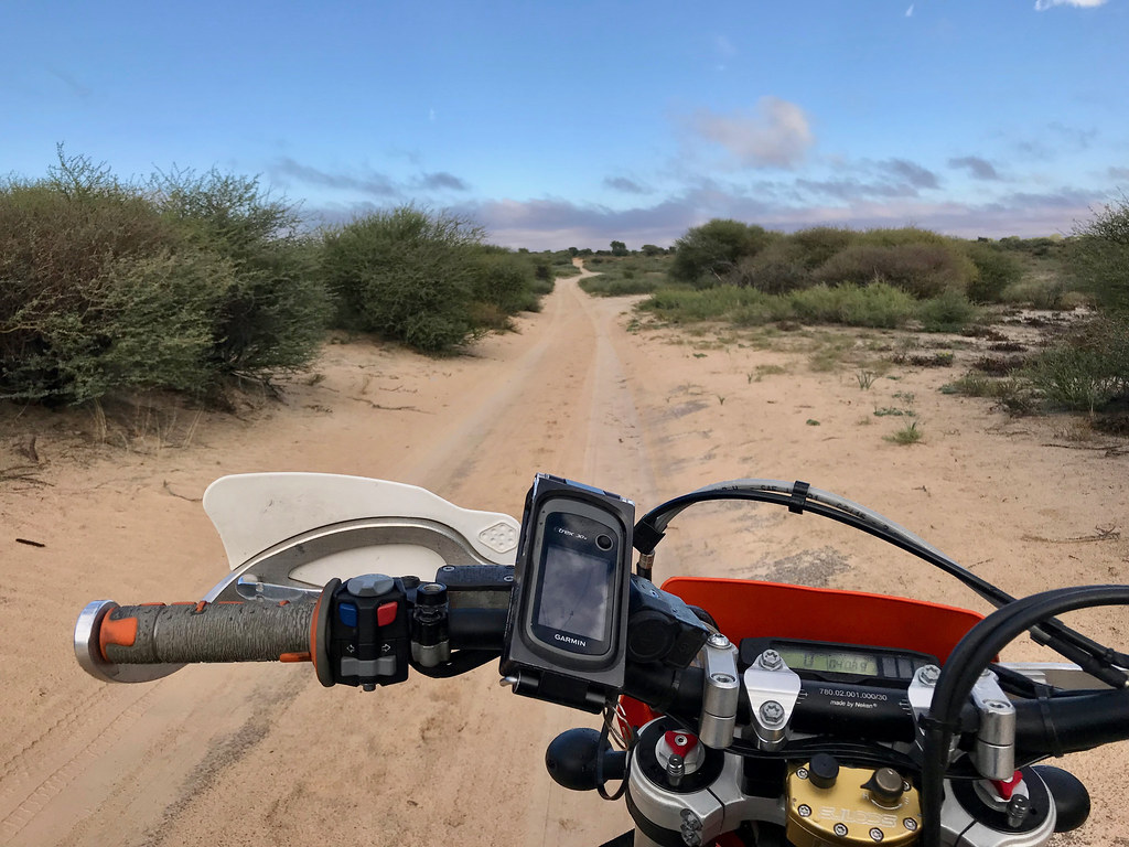
But of course this works mostly when the sand is at least slightly compacted, it may be trickier if it is extremely soft. But while it works great for me on solo ride - I suspect it may not work for you as you ride in pair, so only the first rider has the advantage of undisturbed sand.

That said, on 500 it really is no big deal riding in the tracks either, just somewhat easier on that central divide.

And to be honest in this area it is no biggie - if you battle riding in tracks, just ride next to them (i.e. go bundu bashing), the sand is extremely easy to ride anywhere there and probably only marginally slower than following in the tracks (if at all - the only thing that will slow you down is that you may need to ride around obstacles)
 
The further west I went, the less used the track I was on was, until there were no recent tracks of vehicles at all - the tracks were used just by animals. There were number of tracks branching to the right which I assumed is north and made a memory note to look for those when on the back as I planned explore to the north. But actually I got a bit sloppy on navigation and it was my track that veered off south and those diverging tracks were actually going in the right direction. I found out too late.


33893871938_5b72a1ef99_b.jpg


47718477422_9fc526b8fb_b.jpg


47718482622_42062e6065_b.jpg


46981699804_731d1b0be1_b.jpg


40804729323_1996634729_b.jpg


47770874711_bc89f4b54d_b.jpg


47770888571_3cff9bed2c_b.jpg
 
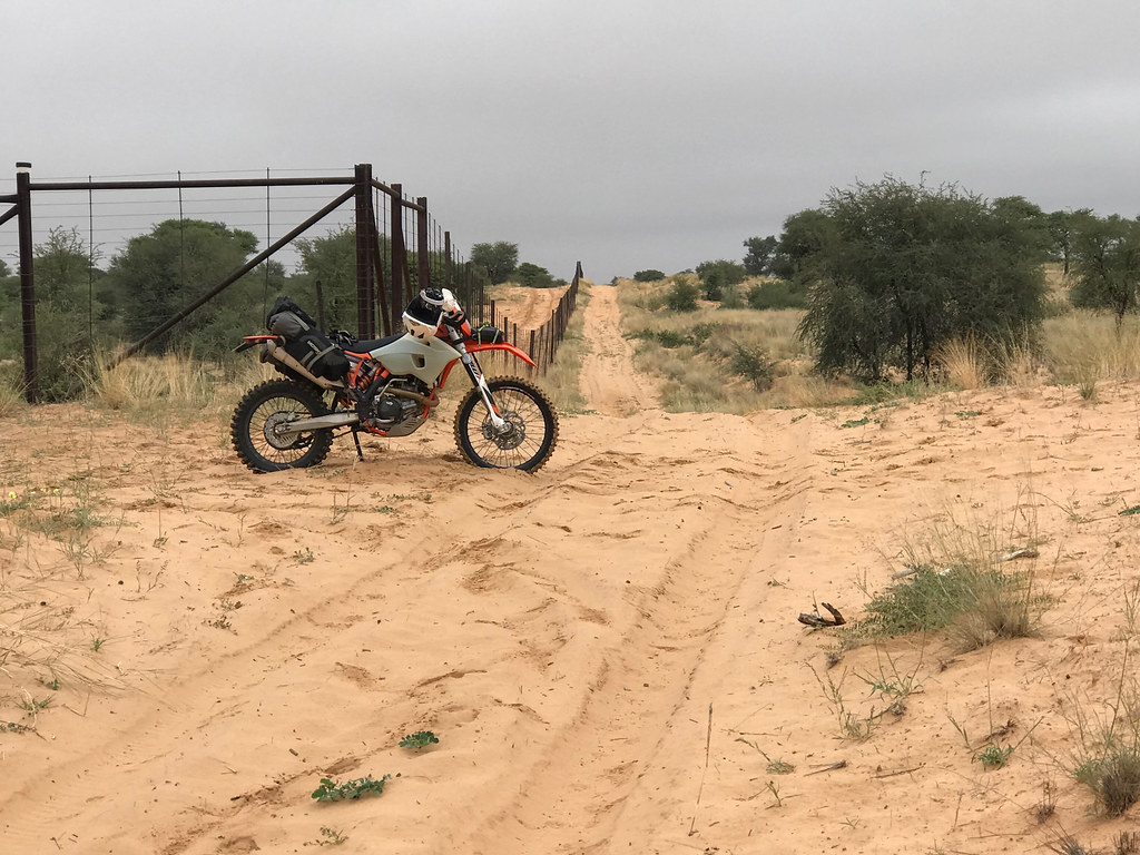
Eventually about 30 km from Tsabong I did come to the fence and gate to one of the ranches. There were actually two ranches - or at least fenced of areas, but there was a gap of about 150 meters of bush between them, which created natural channel heading north west. That was more or less direction I needed so I took it.


33893927478_aeea513df6_b.jpg


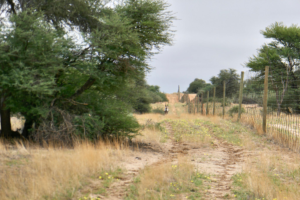
Again I bumped into quite a lot of game - mostly larger variety of boks, but didn't score any impressive pictures. At one point I came upon an Oryx that run away from me on the track I was on following one of the fences. I stopped and switched the engine off and waited until he got over the horizon.


47718529922_7b543c85fb_b.jpg


Once out of sights I set off again. Of course the stupid goat stopped as soon as he didn't see me, and as I came over that crest he started running again on the track. Not keen to repeat this for next 10 km I tried different approach. I gunned it right behind the animal trying to squeeze myself between the animal and the fence in an attempt to make it run off the road and away from the fence. That was quite hairraising as the fence was unfomfortably close and a misstep woud probably turn me into minced meat, but the stupid goat just wouldn't do the logical thing and veer to the left into the safety of bush. I was riding literally within 2 meters of the thing watching its big balls swing right - left and getting sand kicked in my face by the hoves (the joys of open face helmet...). And yet, the animal just kept running on track - after initial spurt he clearly couldn't keep up with 500 so slowed down, and I had to slow down in turn in order to not run into it. After what felt like kilometers he finally got a brainfart (or rather heart collapse), turned left and I opened up and was out of his hair.


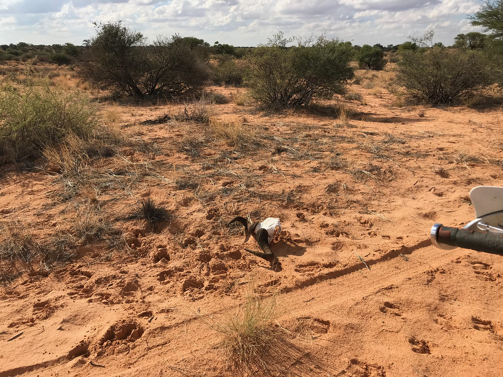
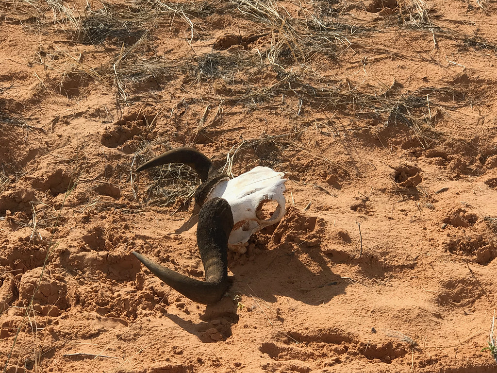
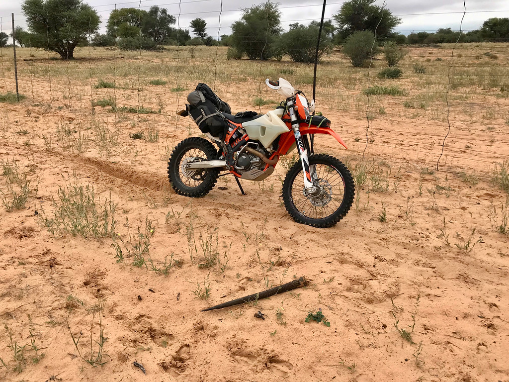
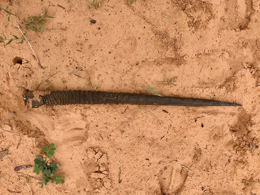
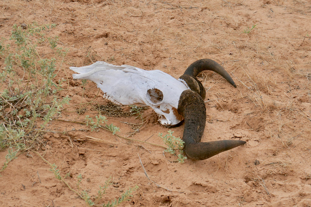
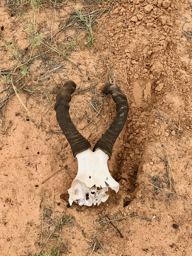
After few km I came upon remnants of another Oryx that probably didn't veer off and died of overheating or something. I contemplated for a bit taking the horn with, but it was too big and heavy and anyway I'm sure it is ilegal so just left it there.


33893941918_5de11563e6_b.jpg


40804791153_5c570a5e32_b.jpg


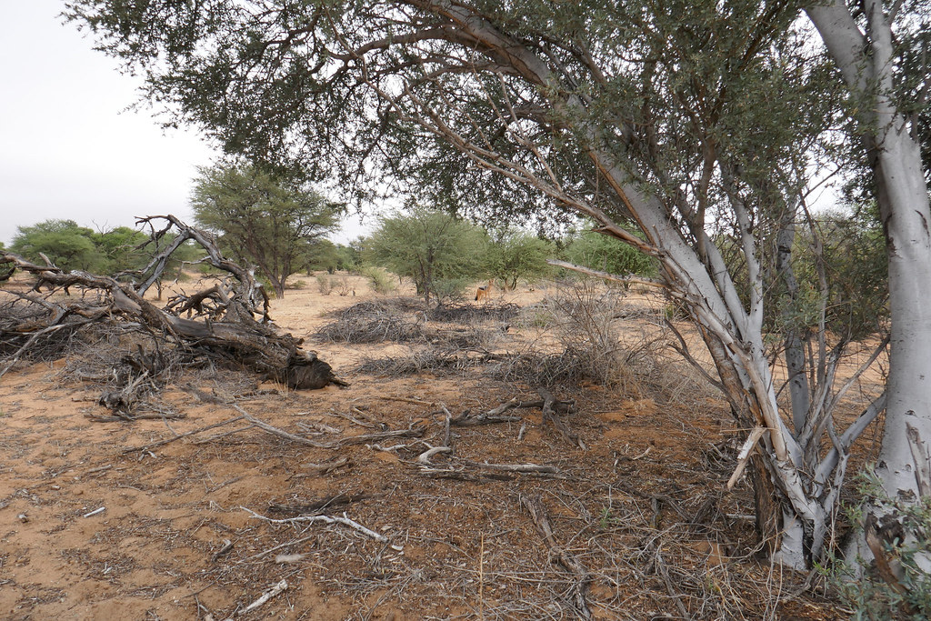
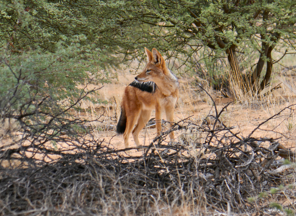
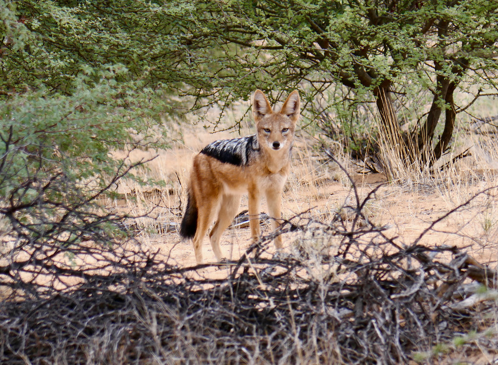
Later on I came upon a jackal that was suriprisingly unpertrubed and let me take few shots:


46854554205_658edfcdbf_b.jpg


46854564545_428eedec77_b.jpg


33893961688_3a16976cf8_b.jpg


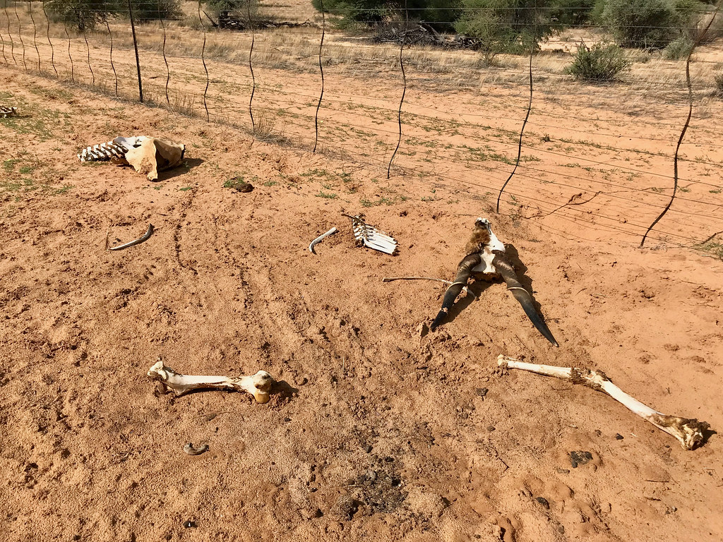
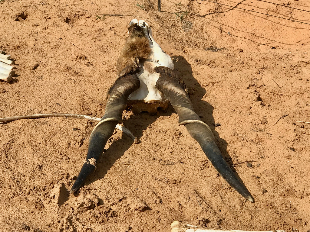
Further on I found these - dead animals were all I could get as the plenty of live ones were too fast for me to get good shot of:


47718591162_f05d6199bf_b.jpg


47770939981_c928d637d7_b.jpg


46982196514_010d275b0a_b.jpg


46855057745_cfa9a0241d_b.jpg


I was glad that Justin (JustBendIt) and Bertie (Straatkat) with whom I did Kaokoland last year, weren't with me as for some reason they like to put dead bones in their mouth and stuff.... (for further detail on this yummy topic check this: https://wilddog.net.za/forum/index.php?topic=222953.msg4037363#msg4037363)


There was surprising maize of fences I had to navigate with few dead ends, but after about 90 km I finally connected to the prior day's track at the point where I turned back day before. So I have sucessfully found completed track from Tsabong to Khawa and now turned my attention to trying to get to Kgalagadi boundary to the north.

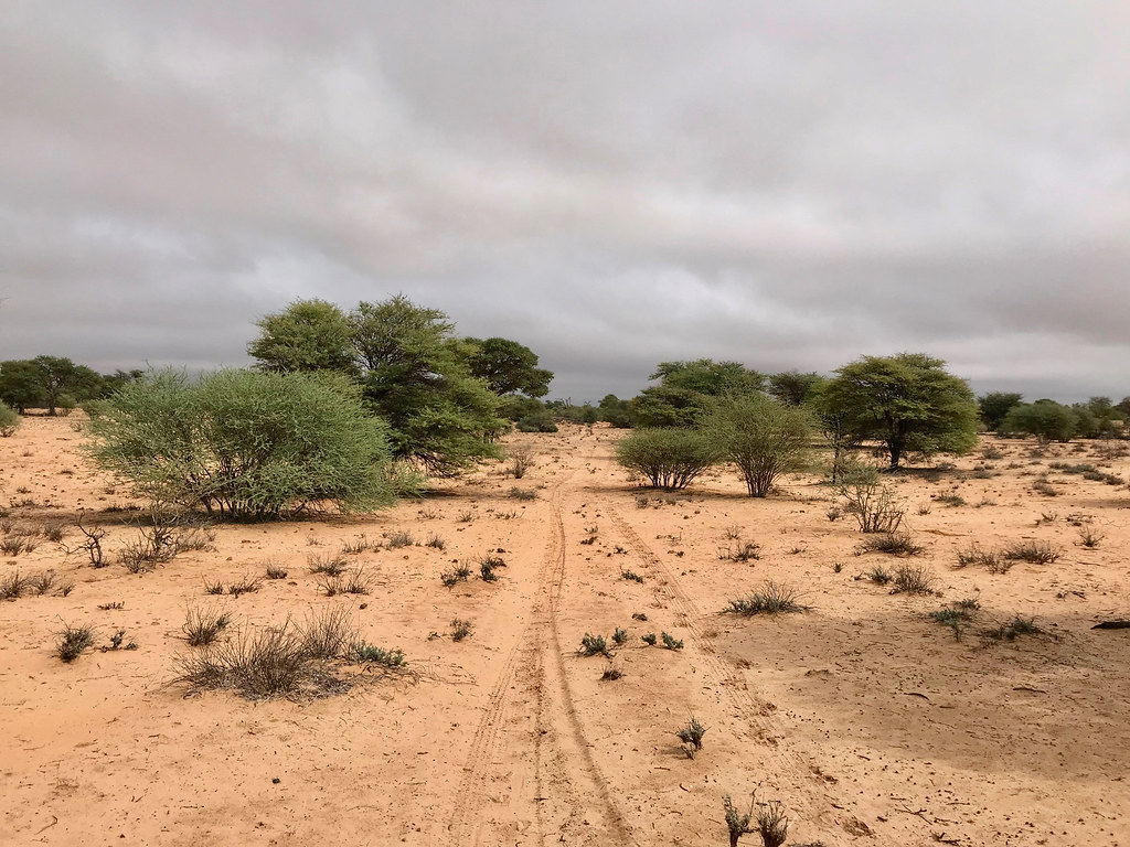
For a bit I followed tracks from day before west and then veered of on another set of tracks to the north west towards the cutline, which was still about 40 km away. The area was typical African bush and I kept my eyes open for possible feline sighting, as it's been a long time since I bumped into lions on the bike, and was keen for another encounter. But it wasn't to be this time.


40804823103_c5aa58d011_b.jpg


33893992088_9f6a99ca47_b.jpg


33894053218_e68ef59ae5_b.jpg


40804885553_d54bd49c61_b.jpg


47771025641_456f5b2e9f_b.jpg


47771053681_f5479bfdcb_b.jpg


33894098598_211e6425d9_b.jpg


32827573527_fbd8da0057_b.jpg


47771095941_a9c8726ee8_b.jpg


I came upon couple of pans. On the first one I spooked big herd of Oryxes:


47771109931_e37ef18a9d_b.jpg


The track eventually disappeared and I just cruised off-piste in the general north-west direction. But I was starting to worry again about my petrol situation as I couln'd figure out how much petrol I still have left). I took a break to dwell on that for a bit.


40804982953_549ac5eabd_b.jpg


46981924394_1812cccf5a_b.jpg


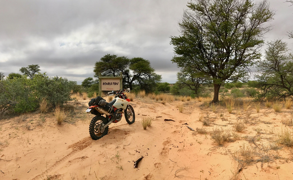
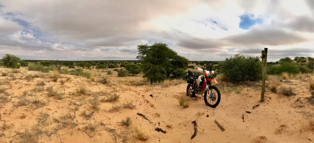
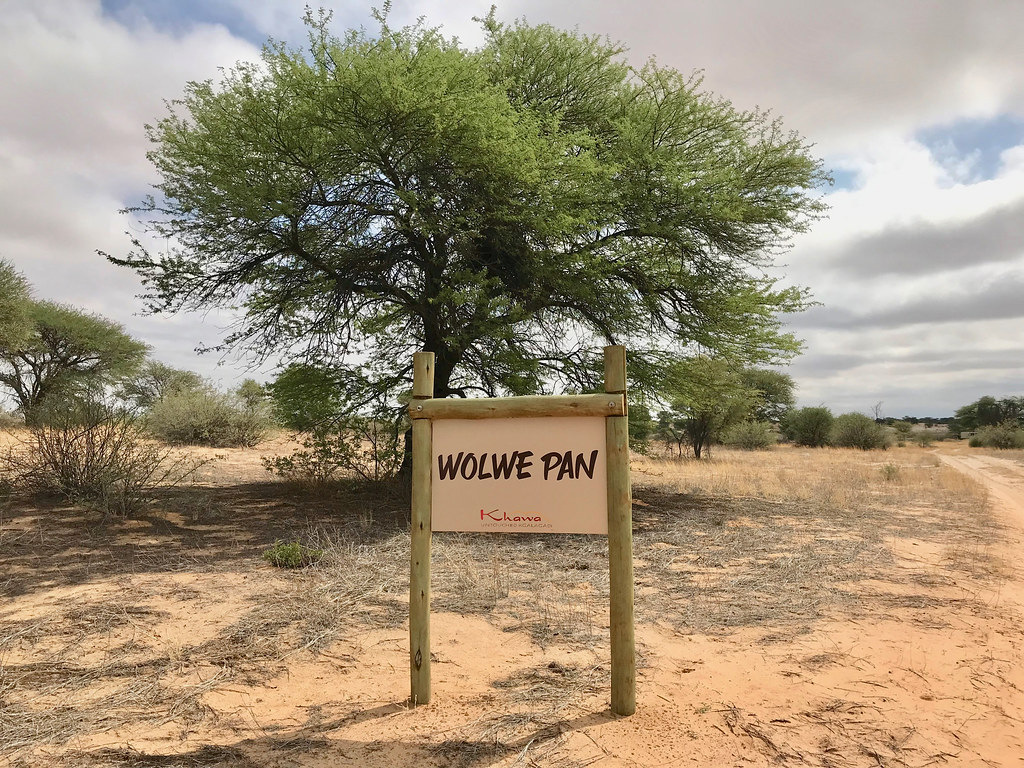
Not sure about the petrol I decided not to push my luck and turned back. Right before the pan I came from I was surprised to come upon this sign:


46854742695_18109f2c8d_b.jpg


32827660447_6b6f548885_b.jpg


40805047443_606119c3e4_b.jpg


33894233708_b67c41d628_b.jpg


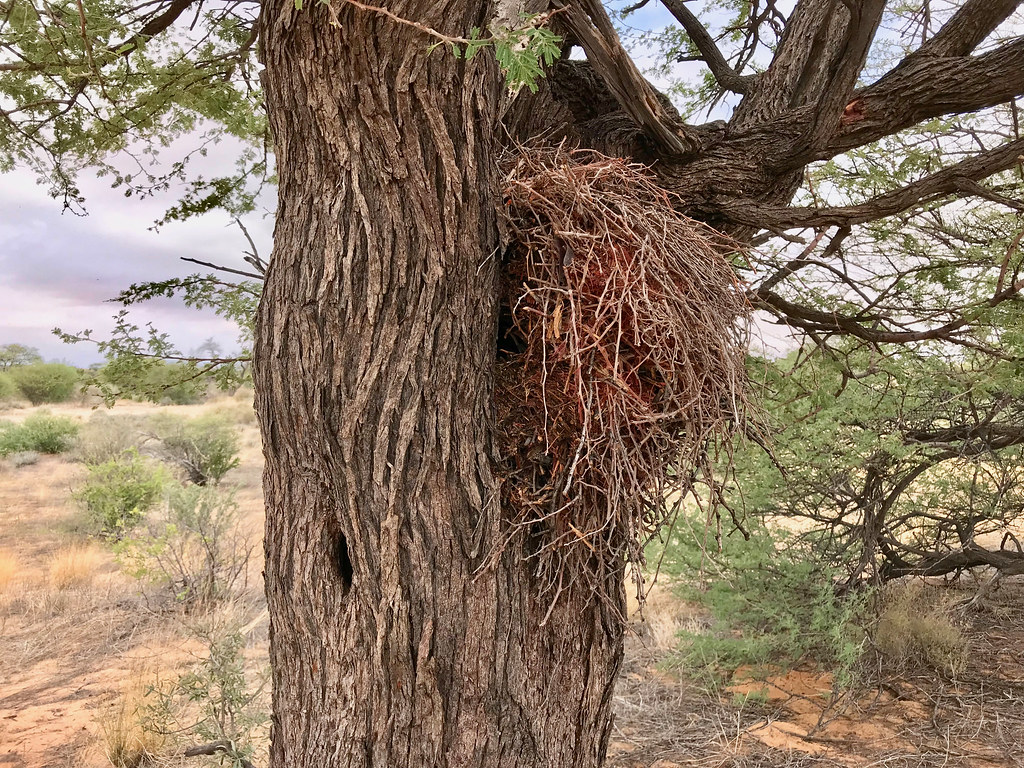
Seemed weird to find sign like this in the middle of nowhere. I also found this nest next to the sign and wondered what creature can get into it without ripping its skin/feathers off as it was made out of very thorny branches:


46982020754_0c2505db7c_b.jpg


Anyway I made it back to the pan and then noticed another set of better defined vehicle tracks heading north. Forgetting immediately about my petrol situation, I decided to go investigate and see if I can make it to the cutline.


40805110953_e90e7c94f3_b.jpg


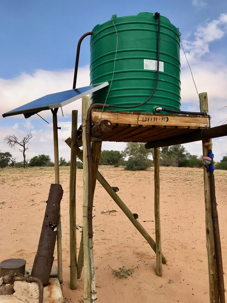
Again to my suprise I came upon this water point and marked it diligently in GPS. I couldn't figure out why it was here as this was much more remote than other places I have been to and there was no sign of cattle post or even domesticated animals around.


46854901705_b4c0bc2a2b_b.jpg


The answer came about 100 meters past this sign:


47718930432_63b27923d6_b.jpg


There was a little camp with a Lancruiser parked under a tree, and its crew of two ladies and one gentleman from South Africa. I stopped to find out what is what. They told me that this is a Khawa community concession and strictly speaking nobody is right now allowed in as Khawa people are not bringing tourists in for some reason. They got permission in Khawa to use the camp as they hepled the community with some charity project (water pump or something like that). They also told me that the track ends there and doesn't continue to the cutline.

They were nice about it and didn't say anything explicit, but even I figured out that I'm probably not supposed to be there. I asked what are the boundaries of the concession, but they didn't know, just mentioned generally that north of Khawa (which is where I was riding even yesterday). I haven't seen any signs anywhere and when I enquired day before in Khawa about passage to Tsabong the locals didn't seem to be pertrubed by it at all and didn't mention any concession, so I'm going to assume that the passage to Tsabong I plotted is fine. I have talked to quite a few people about where I am going to ride, including policemen in Middelputs and people in Khawa, and nobody seemed to mind.

So, while I don't want to piss off locals unnecessarily and tresspass, to be honest with lack of solid information I will probably venture that side again, though I'm not going to go to that particular camp/pans, but rather try to get to the cutline further west (probably straight from Khawa after checking if that is fine, which I believe it is as there is track demarcated there even on T4A connecting to the cutline and then following it west to Two Rivers).

If anybody has any concrete information about this mysterious Khawa concession, please let me know.
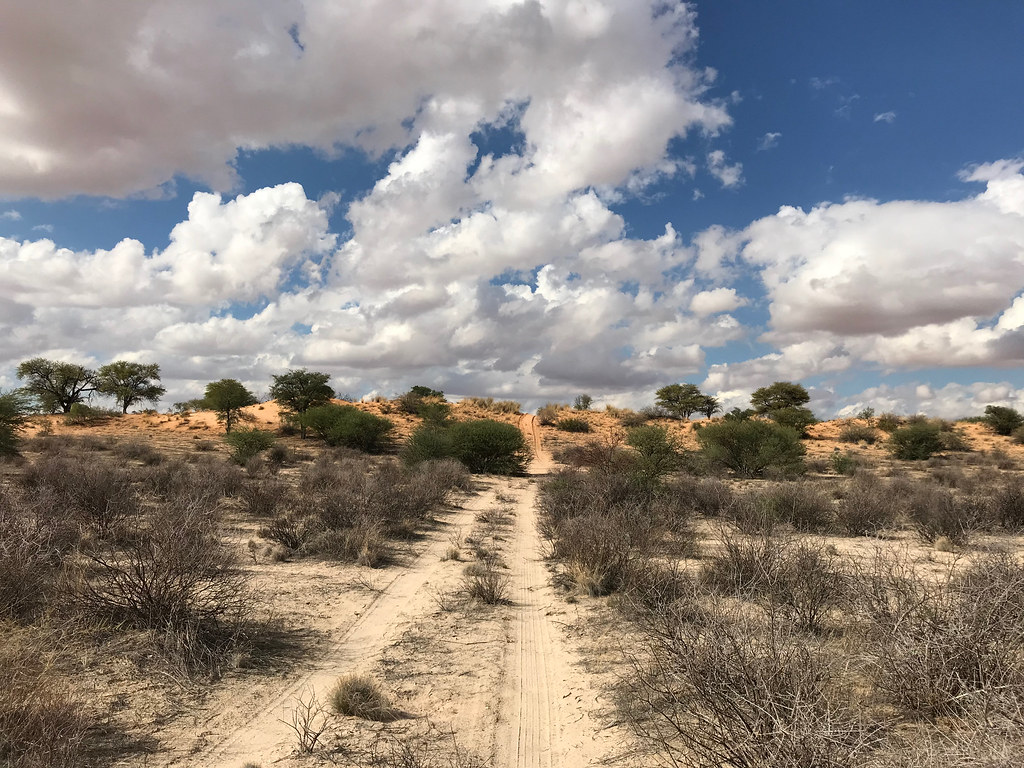
 
So I backtracked all the way to the fences, and then continued north east along the fences. When I came to the point where the tracks  turned south-east into that gap between two fences through which I came, I decided to continue along one of the fences north east instead in order to find another approach to Tsabong. The fences went on and on and when I was about to turn back I came to the end of the ranch fence. However there was another much smaller and more rickety fence continuing north east. I assumed that this is just some kind of community attempt at keeping domesticated animals from wild bush. After few km the track along the fence almost disappeared, yet the fence continued. Finally I came to a gate that wasn't locked, just secured with little wire loop. I passed through the fence securing gate behind myself and turned east agai as no I was way more north than Tsabong. After few km I came to a little set of huts, where I stopped to check if I'm tresspassing or not, but there was nobody in sight so I continued on double track east. After another few km I came to another fence and gate. This one had actually chain around with lock. By now there was no way I'm going back, so I started looking at dismantling the fence and reassembling it back once I pass.

But then I had a brainfart and realized that the chain can be just easily lifter over the gate posts and just put back afterwards, which is what I did and I was out. There were still about 15 km of track heading east when I came to more and more settlements until I hit the main dirt road running from Tsabong north along Kgalagadi to Hukuntsi (the one that was used in 2015 Amageza). I turned onto the dirt road and headed south to Tsabong about 20 km away.

This is my video from quite a few years ago when I rode that road and some more areas north of Kgalagadi on Tenere, since I don't have any pictures left:


[youtube]https://youtu.be/zONHQ6l1YWk[/youtube]​

I arrived there with enough time to load the bike on bakkie, pack up and make it to the border at McCarthy's rest comfortably with about an hour before their closing time. As usually I was the only customer and everything went smoothly. Once through I hit the dirt road south to Hotazel, where I hit the tar and made it to Kuruman in time to still manage steak at Spur. I slept over in the same guesthouse I slept on the way up and next day made it back to Joburg.

That is it - I had high expectations from this trip, and it delivered (well, except for the lion encounter - will be back for that).

I will post tomorrow the GPS tracks and some suggestions about other possible routes in the area.

Thanks for following and comments  :thumleft:
 
Thank you Martin that was awesome
 
Attached are the GPS tracks ridden on this trip. I have split day 2 & 3 into two parts as they were too big to upload here.

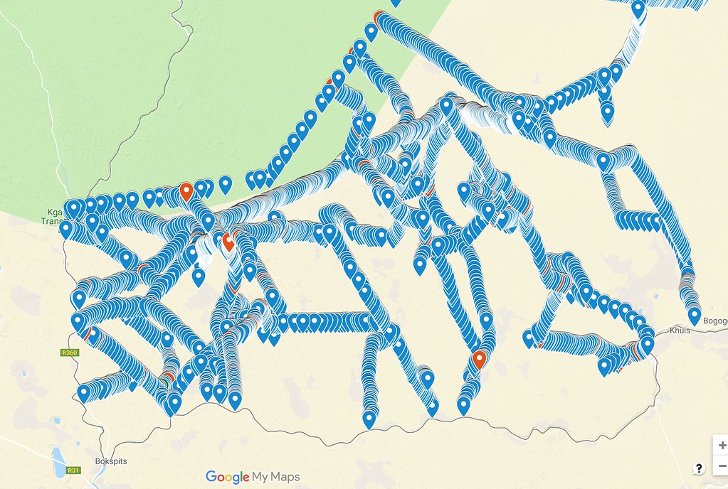
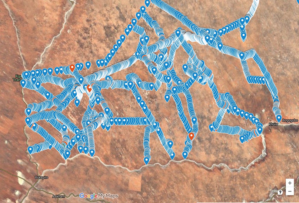
I have plotted many more possible routes on satellite images just in the area between Middelputs (called Bogogobo on some Bots maps) / Khawa on the east and Two RIvers / Bokspits on the west, so one can spent quite a bit of time exploring just in that rectangle. Below is the map showing all the tracks I was able to spot from the images. You can view and zoom the images in the following link:  https://drive.google.com/open?id=1rIaUxrU6NcTamsklqLGpqEk8_VWWgr3o&usp=sharing


47725361712_6cccb50708_b.jpg


47725363152_e1cb10e355_b.jpg


In the link above you should be able zoom in and out (and change the map you want to view - e.g. satellite images or googlemap), but also download the staked out paths in KMZ format and then you can convert them using one of the online converters to whatever format you want. You will not get tracks though, as I didn't plot the tracks (too much work) only staked those routes out on the satellite images. That is good enough for me as I just need to find the track and then I follow it on the ground physically, but for those of you who use navigation functions in GPS and follow the arrows blindly, this will not do. But then I suspect that those kind of people wouldn't want to explore this area anyway...
 

Attachments

  • Day 1 - Middelpits : Two Rivers.GPX
    648.5 KB
  • Day 2.1 - Molopo Lodge : Khawa.GPX
    616.1 KB
  • Day 2.2 - Khawa : Middelpits.GPX
    397.5 KB
  • Day 3.1 - Tsabong : Wolwe pan.GPX
    324.9 KB
  • Day 3.2 - Wolwe pan : Tsabong.GPX
    297.8 KB
Looking at your photos I am wondering how they would have looked like if that area had normal rain.
Normal meaning starting in Nov and getting more towards Feb. Guess the grass would be so tall  you'd be on the pegs to be able to see!! :thumleft:

Thanks for posting all these photo's. :thumleft:
 
Another incredible ride report, thank you for all your effort in compiling it Xpat, epic stuff yet again! :)

HSK and I can't help but wonder though, where all these tracks/roads in the middle of nowhere come from? Are they tracks connecting remote villages? Tracks that poachers, or game rangers use when looking for animals? Some of them maybe even used for border patrols? Hmmmm
 
Minxy said:
Another incredible ride report, thank you for all your effort in compiling it Xpat, epic stuff yet again! :)

HSK and I can't help but wonder though, where all these tracks/roads in the middle of nowhere come from? Are they tracks connecting remote villages? Tracks that poachers, or game rangers use when looking for animals? Some of them maybe even used for border patrols? Hmmmm

Thanks Minxy  :thumleft:

I sense a conspiracy theory brewing your side  :patch:

It is much simpler and less sinister. First of all it is a big area and the maps may make it look smaller. North - south at the narrowest point from Two Rivers to Bokspits it is about 50 km and east -west from Bokspits to Middelpits it is about 120 km as the crow flies (150 km on the tar road running along the border). Tsabong is then another 100 km to the east, but the tracks past Middelpits are way less frequent - so let's focus on the area between Bokspits and Middelpits as that is where most of those tracks shown above are.

So we are talking area over 6000 square km big. Those waypoint markers I used to stake the tracks on the pictures above are too big at that level of zoom and create impression that the place is coveredy by highways. It is not. All of them are double tracks (with exception of dirt road from Khawa to Middelputs) and most of them are at least 10 - 15 km apart, even though it doesn't look so on the pictures above.

Why are they there? Simple, they are shortcuts to Khawa from the western side. They are definitely not border roads as there are perfectly good roads following the border all along on Bots side ( dirt highway from Twee River to Bokspits, and great tar from Bokspits to Middelputs and onwards to Tsabong. All these tracks basically veer off the tar at different point and head for Khawa or one of quite a few cattle posts that are spread across the whole area.

And they are not patrol roads for the NP - there is perfectly maintained wide cutline running along the whole length of Kgalagadi NP - that is the northernmost staked straight line running east that further east veers a bit more north east.

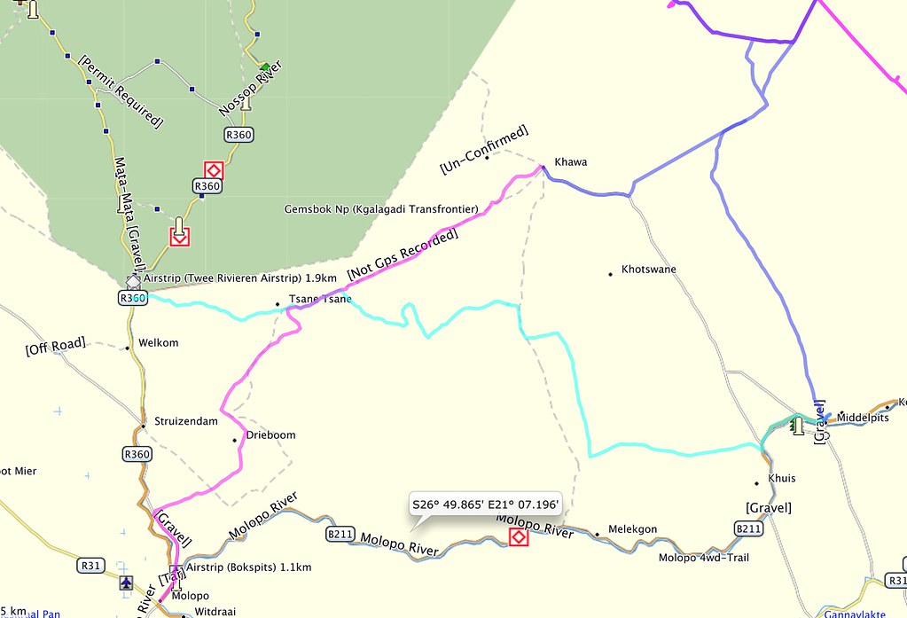
Here is simpler map where you can clearly see where Khawa - the biggest village in the dunes (the only one apart from cattle posts) - is situated:

47782208551_2b9f0b5634_b.jpg


If you want to get to Khawa from Twee River/Struizendam or Bokspits on the main roads, you have to drive between 220 (Bokspits) and 270 km (TR). So it just make sense that many people rather take 90 km drive through the dunes on well established track (somebody told me that there are every 8 km water sources along that main track (the one I connected to on Day 1 and followed to TR - and sure enough I have seen some either in  Cattle posts or on their own). And the tracks heading up from south are just people taking shortcuts. Most of the dunes run in north-north-west / south-south-east direction and it is quite easy to follow the valleys - at lteast when the sand is not too dry. And many of those tracks are just shortcuts people took in between other tracks.

The sand - at least when wet is very easy to drive/ride and even if you go complete bundu bashing you can comfortably cruise most of the time in 4th or higher gear. Compared to Lesotho - where one is also allowed to ride wherever they can but rarely gets out of 2nd gear and riding there is more like sitting on a jack-hammer whole day - this is very different and much more relaxing/meditative experience - more surfing/off piste skiing than dirt biking. Don't take me wrong, I love Lesotho, but after 3 months of intense riding there, this was a nice break.

So no, I wouldn't expect anything sinister there. I mean there are lions there, but you like cats... >:D
 
And I'm already busy plotting tracks east of Tsabong towards Werda (that would extend the riding area by another 100 or so km east) and Bray, and it looks very promissing. Next time I will probably leave my car in Bray, jump across the border nearby, and then follow Molopo river on the Bots side crossing what looks like tons of read dunes - and they are there, I have seen them years ago while passing through Molopo reserve (which I think you did too).

Here is what I found so far and I like what I see. And I haven't yet looked north of the tar road properly - big area to explore, though the red dunes are all centered on the Molopo river valley.


https://drive.google.com/open?id=1pUf1NOBC_rGPa1jCc5OS8Mg6jv7ahC-s&usp=sharing
 
sheesh i need a 500!  loving the rr as usual xpat.  inspirational as always.  how many hrs on the old girl now and do you feel the need to renew?
 
billy-joe said:
sheesh i need a 500!  loving the rr as usual xpat.  inspirational as always.  how many hrs on the old girl now and do you feel the need to renew?

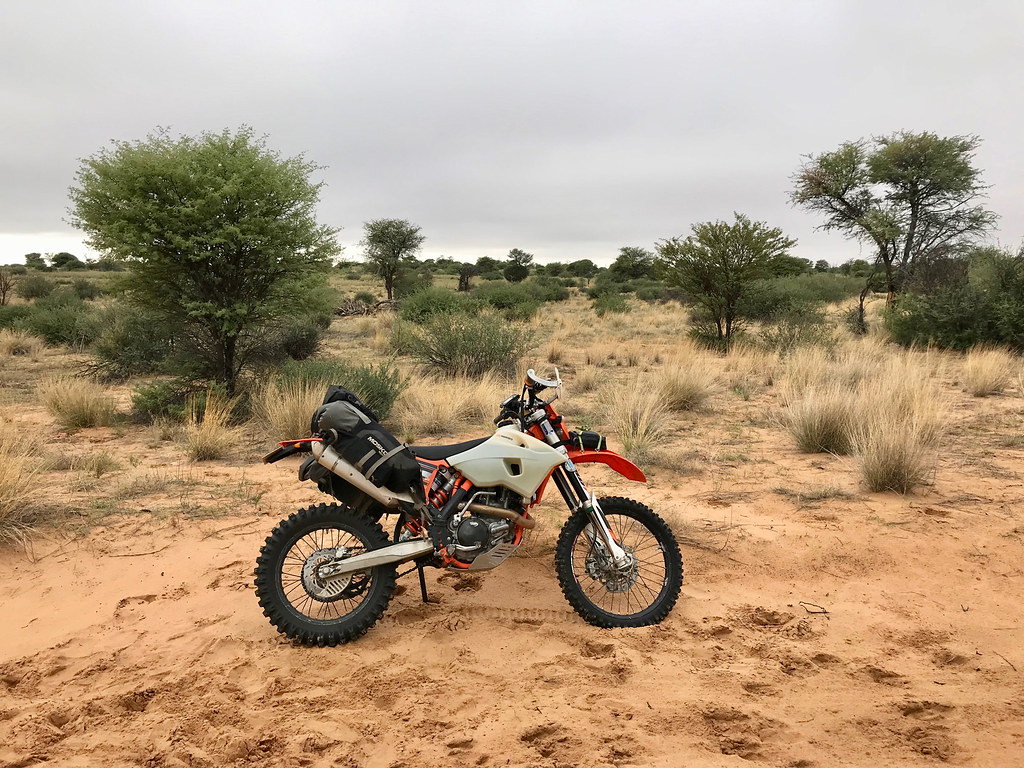
It has 410 hours and 17k km on now. I don't envisage getting rid of her any time soon. There were fixed done over time - new fuel pump, because I dropped plastic cap into tank and it blocked the old one - which didn't die mind you just didn't pump fully in high revs, and Runner changed rocker arms at about 14k km because he felt that the bearing on them is slowly going the way of dodo. And I'm on third clutch, but that is because I installed the second one at about 12k km and screwed it up.
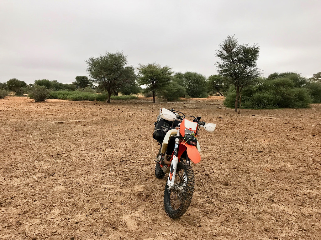
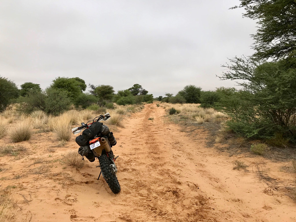
The bike is set-up perfectly for my use (lowered suspension with appropriate springs and valving done by Hilton Hayward), power point and two aftermarket tanks (19 liters for general use) 12 liter for Lesotho duty, so no need to change. Let's see when the rebuild comes, but if Runner is to believe, it isn't going to be any time soon.

I will probably buy another 2016 one later this year (to be able swap all the accessories like tanks easily and because it has kick-starter, which came handy few times), but that one will be an addition, not replacement of the current one.
 
so the piston/rings are still original?  if so that is v impressive for a 'ready to race' machine. any major oil usage between services and what are your intervals.  sorry if youve mentioned this before elsewhere but im thinking of selling my 950 and getting a 500 to go play with 2sd somewhere!
 
billy-joe said:
so the piston/rings are still original?  if so that is v impressive for a 'ready to race' machine. any major oil usage between services and what are your intervals.  sorry if youve mentioned this before elsewhere but im thinking of selling my 950 and getting a 500 to go play with 2sd somewhere!

Piston and rings are still original. And as I said, Runner who services bike doesn't see the need for them to be replaced any time soon. I will be surprised to be honest if it comes before 30k km.

The bike doesn't use a drop of oil, between oil changes, which are done after every trip, roughly at 1000 - 2000 km intervals.

That said, I use the bike as it was intended to - i.e. for riding off the beaten track, varying from slipping clutch most of the day in 1st and 2nd gear in Lesotho to faster double/single track riding such as this one, Moz or Kaokoland. I rarely go faster than 100 kmh, because the terrain I ride doesn't allow it and on main roads dirt or tar (which I do very little of) I cannot be bothered to try to go fast as I'm fully saturated from my offroad riding.

If you want to use the bike for commuting (as some people strangly do) or for easy peasy high speed dirt like Tankwa Karoo and such, I'm not sure it will last as long. But then Adam Riemann did multiple 10k km trips a pop most of which I'm sure involved fast dirt and some tar, and the bikes seemed to hold up well. There are couple of people on advrider doing RTW rides on 500s, so you can check their threads if you are interested in longevity of this bikes when used for DS and not racing.
 
Top