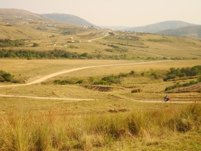
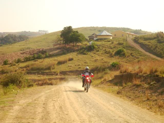
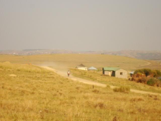
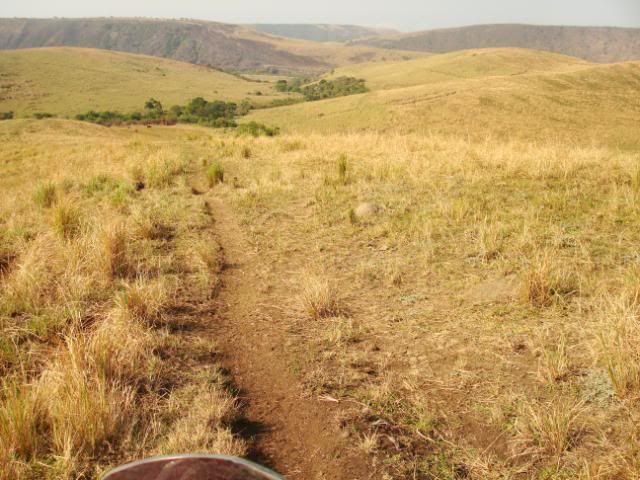
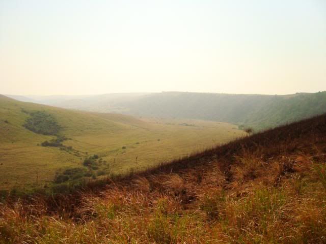
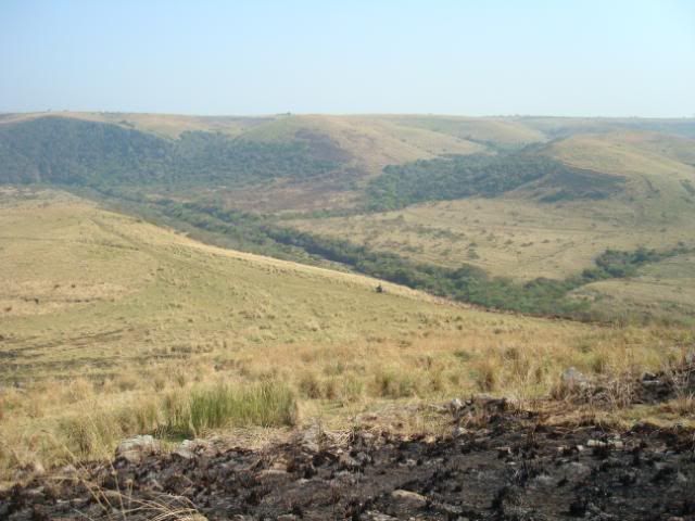
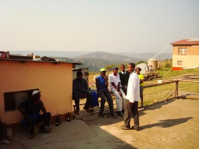
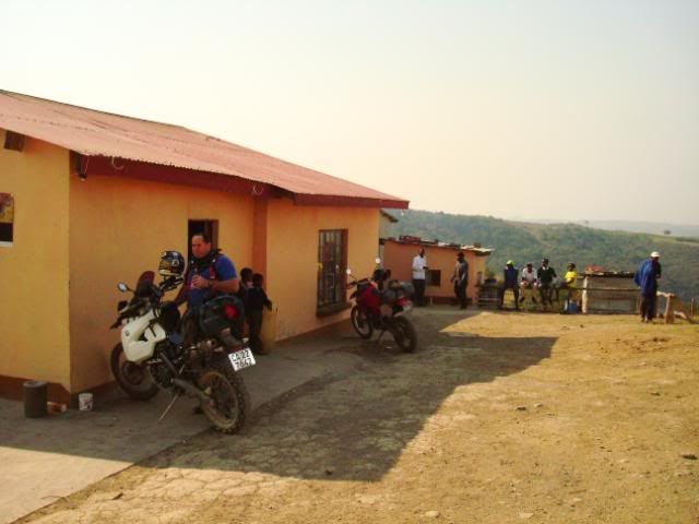
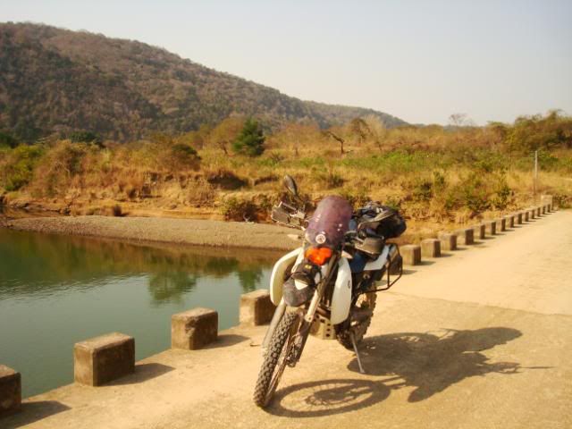
Transkei. The really easy way.

This site may earn a commission from merchant affiliate links, including eBay, Amazon, and others.
Well done, my son.

Very good RR. I still think you need an HP2 though.  :biggrin:

Now for planning a lekker Southern Nam trip together next year...  :mwink:
 
Transkei – Day 3

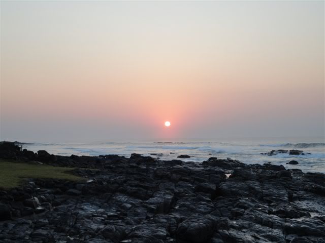
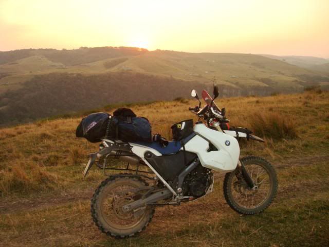
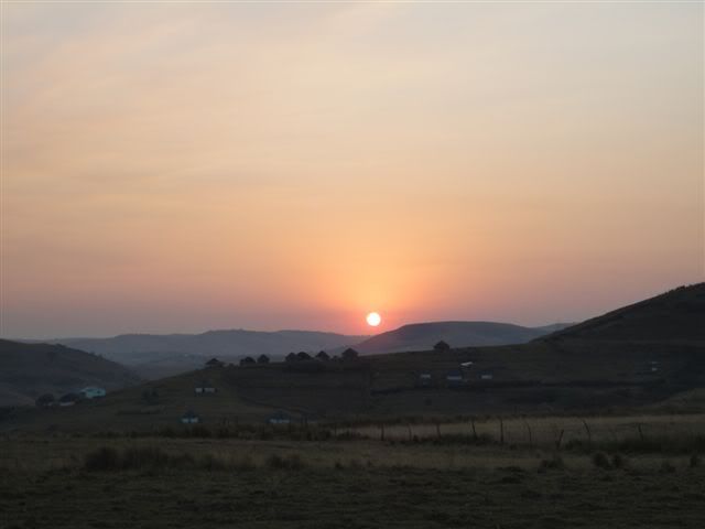
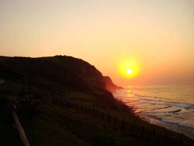
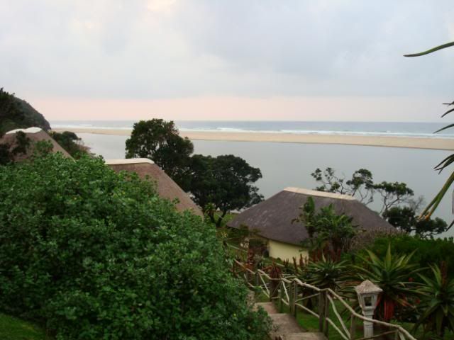
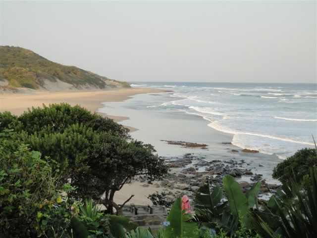
Sunrise over the Wildcoast.
DSC00044.jpg


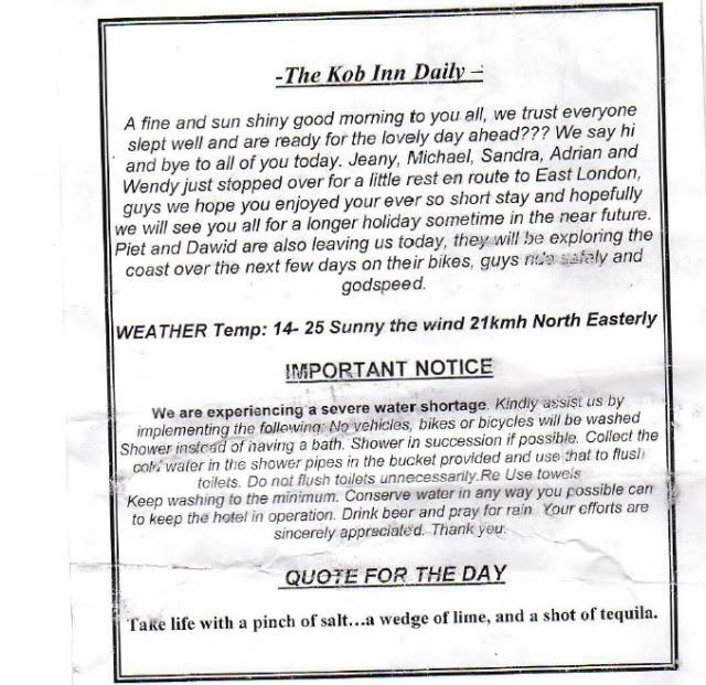
The chef at the Kob Inn was very excited to have us around. He was really smitten with Brakenjan’s Zaar (the heathen bastard did not even so much as glance at the BMX) as he himself seems to be a soul lost to the darkside with his choice of the 450 EXC (?)  plastic. He had good things to say about the surrounds being an unreal playground, especially with one of those lighter plastic bikes.

He even mentioned us in the Kob Inn Daily:
Kobinnmenu-1.jpg


In a matter of two days, Transkei had become my new favourite place in (South) Africa. Ok ok – it now ranks alongside the Rictersveld.  

The plan today was the same as each of the previous days before:  Have a huge breakfast, ride some cool tracks, then have a steak, wash it off with some colds zamas and go to bed.  

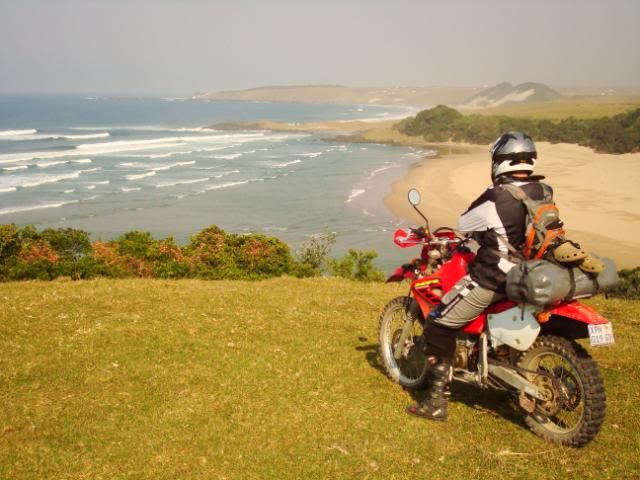
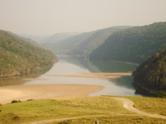
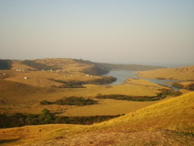
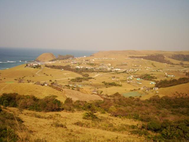
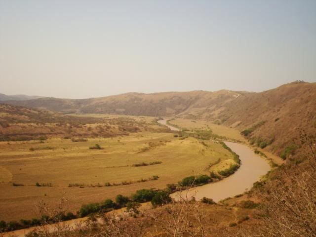
First we rode up to the hill behind the Kob Inn and checked out the mighty Qora river. Bjiirefull.

DSC06700.jpg


DSC06701.jpg


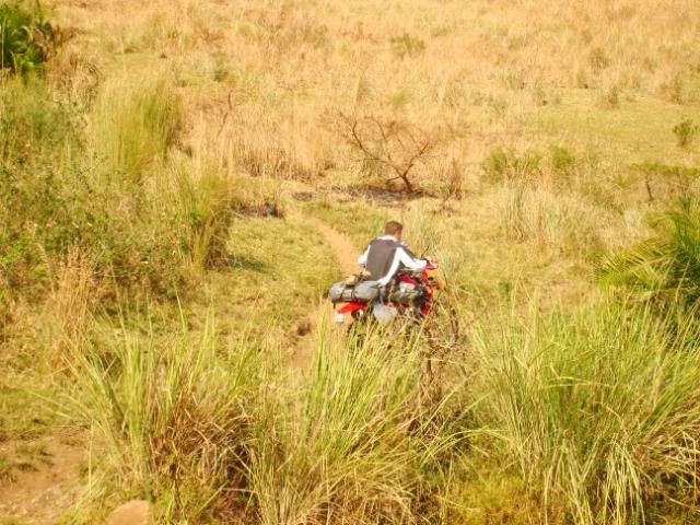
And then we followed the GPS  tracks through the peaceful countryside again. Being midweek in August the place was really quiet. Which I liked. Riding yet again up and down these gravel roads in this magical land, full of people but yet (still) deserted by modern civilization, thinking back now, the chorus from that nice Coldplay song, Speed of Sound, somehow seems appropriate when imagining myself being back on the X, cruising roads like these:

All that noise, and all that sound,
All those places I got found.
And birds go flying at the speed of sound,
to show you how it all began.
Birds came flying from the underground,
if you could see it then you'd understand,
ah when you see it then you'll understand?


Ok. Maybe it is not that appropriate, but it still is a lekka song.

DSC06703.jpg


DSC06704.jpg


DSC06705.jpg


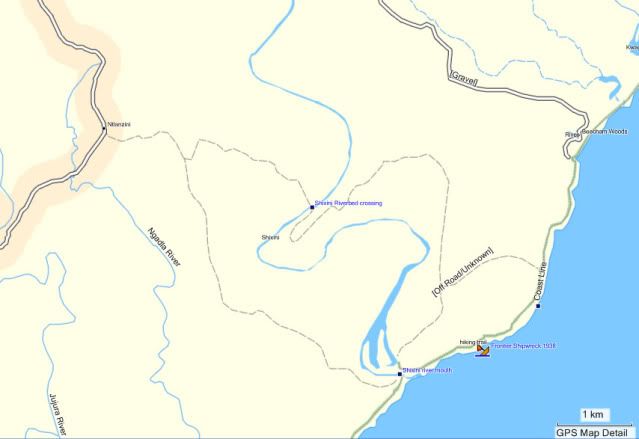
Today’s fun and games were planned in the form of a relative obscure little track which had us crossing the Shixini river. My tracks led us here.

DSC06706.jpg


DSC06707.jpg


T4A makes it look like this

Shixinirivercrossing.jpg


Once again T4A had it completely wrong, as the little track that they indicated was actually running on top of the hill to the south and not where we were told to ride by that self confessed Buddhist guru of common sense, Mr G. Armin.

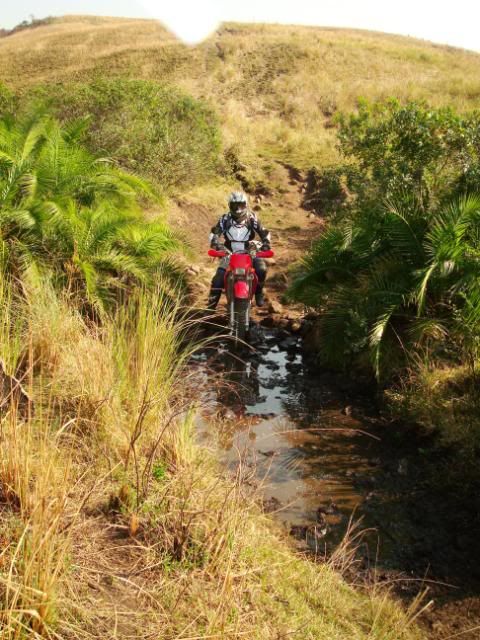
Anyhow, this made it all the more fun. Down again and crossing a small mudpool

DSC06709.jpg


DSC06712.jpg


DSC06715.jpg


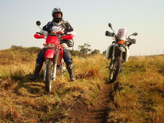
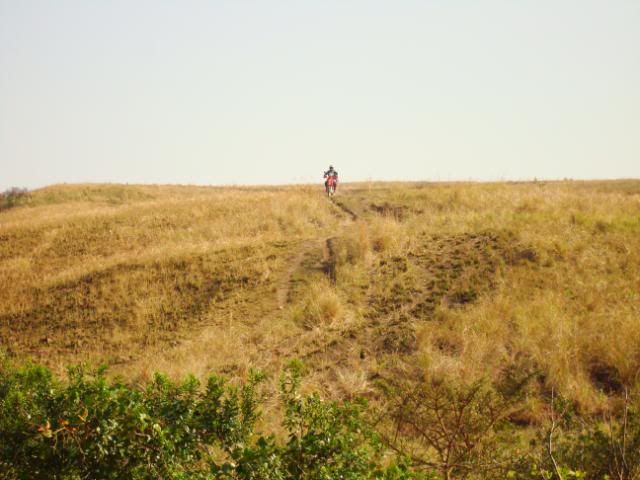
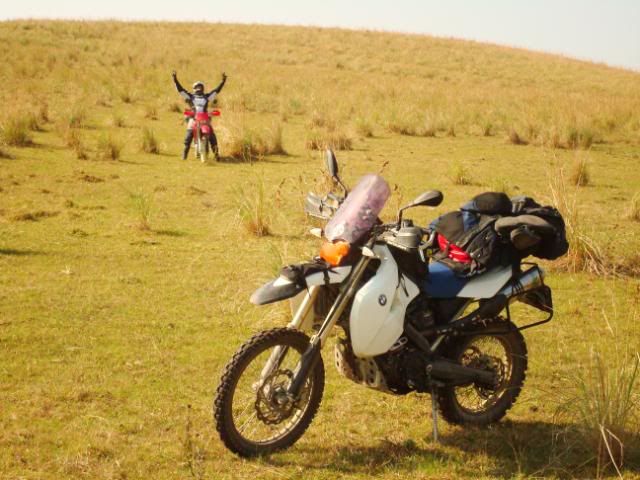
I couldn’t help but smile when Brakenjan was shouting with pure joy from under his helmet while  punching the air. One can’t really describe the moment, but just take it from me: It was so unbelievingly cool just to be in that spot, with no one around and a stunning path to ride. It certainly wasn’t difficult riding. But it was, to call it in plain French: BEF*K!

DSC06714.jpg


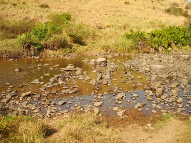
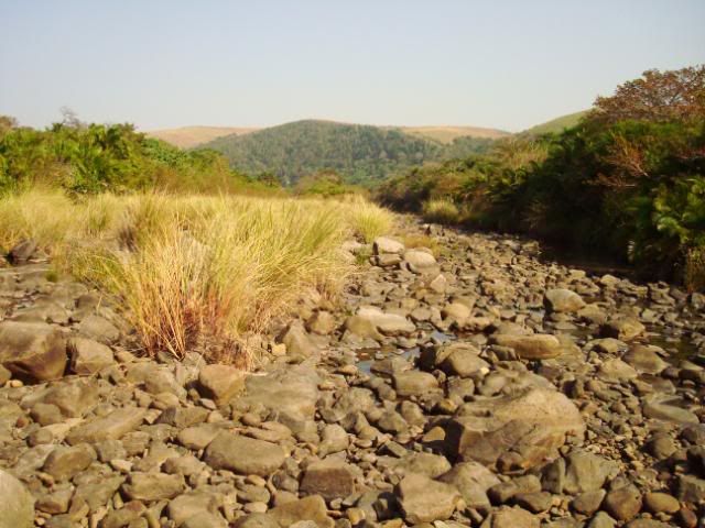
I initially thought that the little mud stream that we had just crossed was in fact the Shixini river, but soon realised it was not when we rode around the next hill and saw the actual river

DSC06719.jpg


Now knowing what the crossing was like and unsure whether there is in fact a road to follow,
DSC06718.jpg

I decided to park the bike and went off on foot patrol with my knife clenched between my teeth.

The recce was a good thing, as I, after waking up Captain Slow, could report back that we only have two easy peasy river crossings to deal with.

First this little dry sideshow
DSC06717.jpg


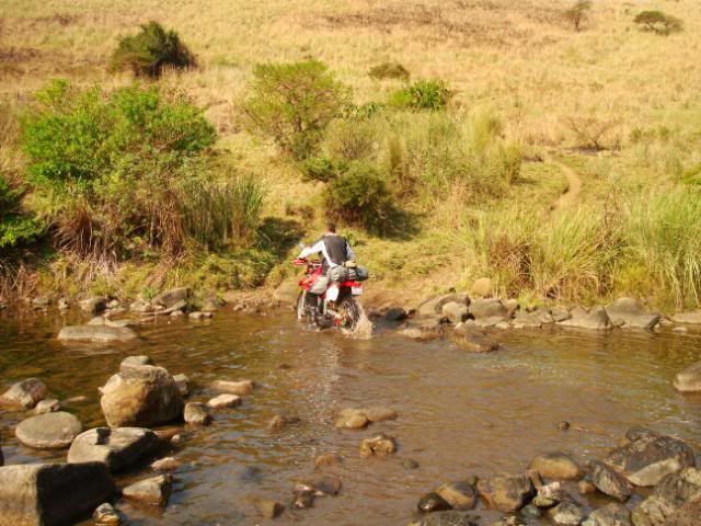
and then the main Shixini river which I thought should take us not more than a minute or so each to get across.
DSC06716.jpg


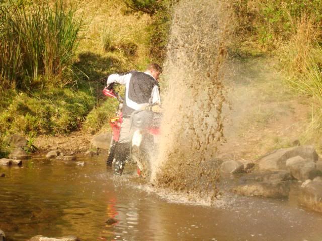
I was wrong in respect of yours truly, but spot-on in respect of Brakenjan, as he did it correctly. I tried to duck walk / push etc make my way through, and eventually managed to do so with the help from my wingman, but it took much longer than it should.

Brakenjan just gunned it through without any troubles.

DSC06720.jpg


DSC06721.jpg


DSC06722.jpg


Perhaps its because he had the correct (softer) tyre pressure or because he had the lighter bike or maybe I just wanted to let him feel good  :D.

Or could it be due to that rest he had while I cleared the area from suicide bombers, terrorists and other Dr Evil like creatures?

Anyhow - I at least enjoyed the scenery, took some pictures and did not just pass through like those onbeskofte Valies do.
DSC06723.jpg


Looking back at the place that is marked “Shixini Riverbed crossing” on T4A.
DSC06724.jpg


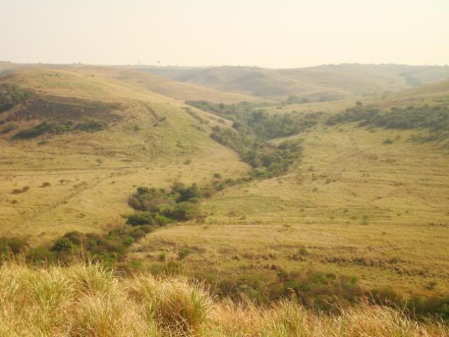
From the hill on the other side overlooking the valley, the T4A error can perhaps be more clearly explained:
The actual route that we should have used (and that should have been indicated on T4A) is clearly visible down the hill, to the LEFT of the green stream in the middle of that valley. We on the other hand, using the exact T4A track, struggled down the hill on the RIGHT hand side, where the place was overgrown and clearly not used.

DSC06725.jpg


At this point I should maybe mention that I also used Slingsby’s Wild Coast Map (www.themaps.co.za) which was good to get the bigger picture. Only issue is that its scale does not always really help, especially if you need to navigate on little tracks like the aforementioned.

Anyhow – the vistas once again were pleasing on the eye. Pity our cameras were not as good as Dustdevil or Michiel’s  ;)

DSC06726.jpg


DSC06727.jpg


ZAMA time!

DSC06730.jpg


DSC06731.jpg


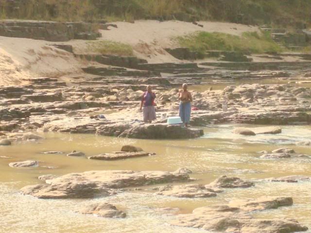
Those Transkei Zama’s sure are strong – check out these sexy chicks at the bottom of the Mbashe river.

DSC06734.jpg


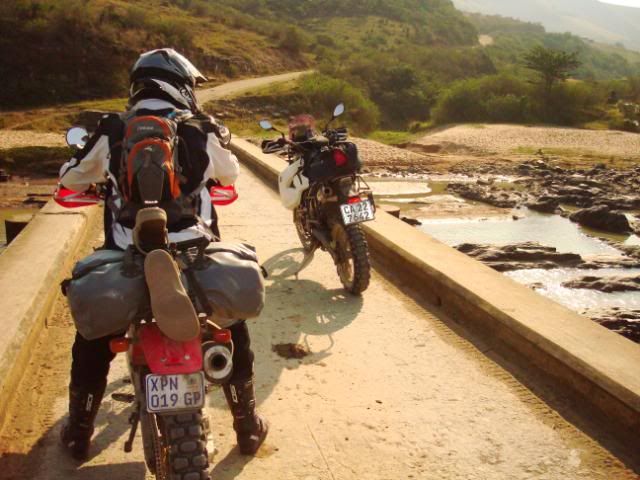
Brakenjan could just not stop staring.
DSC06733.jpg


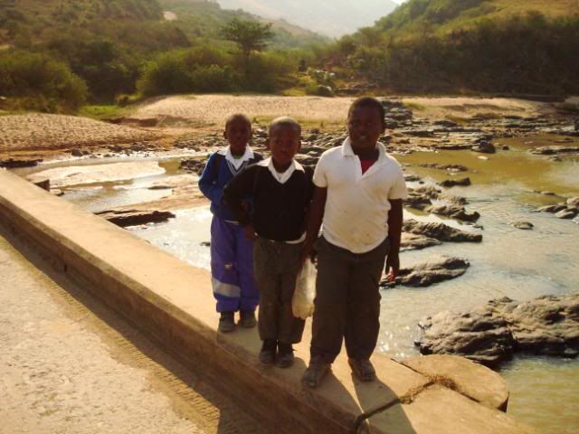
And neither could these little guys. I think they were bemoerd because B was checking out their mothers.
DSC06736.jpg


After I eventually managed to tear Brakenjan away from that bridge, we followed some more roads to the Cwebe Nature Reserve, an establishment run by the Eastern Cape Parks Board. Ten ront and we were in.

Here we made the mistake not to listen to our Zama-mometer and to follow the road a kilometer or so further to retire for the day at the aptly named hotel, the Haven.

No, wise ass mofos that we are, we decided to keep going and head on to Bulungula Lodge as word had it that this is apparently a nice place to stay.

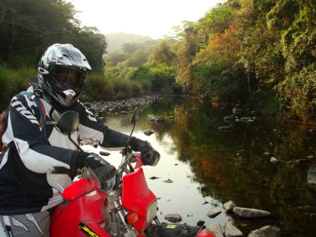
Here we were crossing some rivulet in the Cwebe nature Reserve. I know I have said it before, but once again - this place is awesome!
DSC06737.jpg


DSC06740.jpg


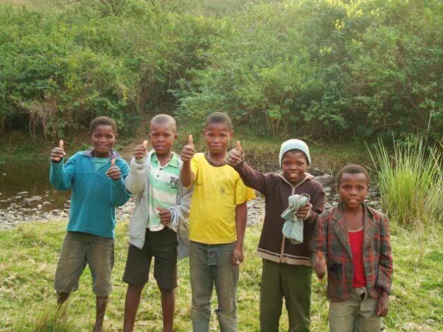
We passed through the Cwebe reserve and the riding of course was just magical again. Up and down, past villages, friendly kids running out to wave to you, unfriendly little f*ckers giving you the zap sign and throwing imaginary punches (every now and then I would make a big show of stopping after getting zapped and then had to chuckle every time as the little party dispersed more effectively than what the old SAP’s onlustebeheer could ever achieve in the 80's.

The road lead us down to the Xhora river,
DSC06744.jpg


where we met these little guys.
DSC06746.jpg


Unfortunately I only had some winegums in my tankbag, but judging by the picture they did seem to have liked the red ones.

Just after crossing this dry riverbed, we encountered a fairly steep uphill.

Transkei  = 2

International grensvegter man of mystery = 0.

Yet again.

DSC06748.jpg


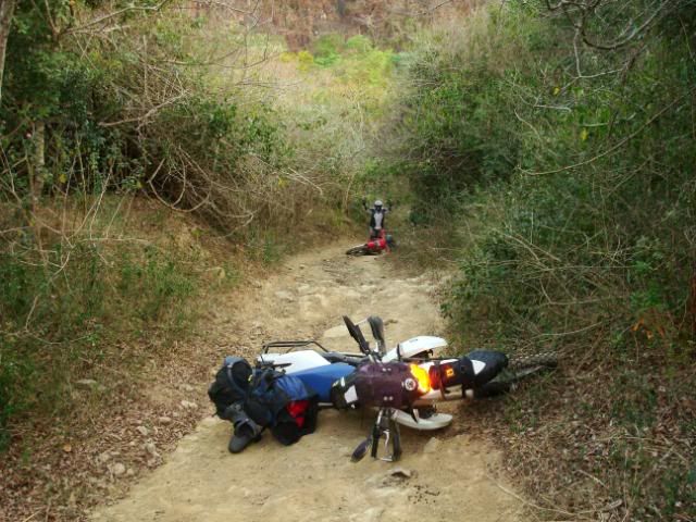
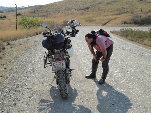
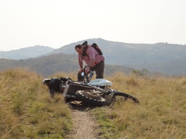
I did not have my goggles on when attempting that uphill and got bashed in the eye and on the arm by some branches, right at a spot where you had to lift the front wheel to get past. Which I didn’t do cause I couldn’t see. So down I went.

Looked back and saw Brakenjan coming up but showed him to stop as he wouldn’t have managed to get past me, and that was too much for him too, so down he went as well.

Mu wha ha ha.

Fortunately only a bent handlebar and lame left leg later (on team oo7’s side) , we continued up the hill and
DSC06751.jpg

DSC06750.jpg


eventually then got to this spot, overlooking the Bulungula River.
DSC06741.jpg


Bulungula Lodge is not even on the version of T4A that I have (10.05.01) and Slingsby’s indicate the lodge to be on the south side of the river mouth. For some unknown reason (remember – those Transkei Zama’s are strong) I thought the lodge was on the NORTH side. And continued to lead the expedition in that way.

DSC06742.jpg


Arriving on the other side I realised I was lost, as I could not even work out, with the frieken GPS, exactly where we were. I then realised that Bulungula was actually on the other side, but there was no way we were going back.

It was getting late (way past little boys like us’ bedtime) so we had a quick conference and decided to head for Coffee Bay, the really easy way. Even though this meant that we were going to ride for an hour or so in the dark. But so be it.

Watching the sun set with dread as the one thing that you shouldn’t do is ride in the Transkei during night.

DSC06752.jpg


DSC00054-1.jpg


Anyhow, from here on it was a case of

“Menu”
“Menu”
“Find”
“Cities”
“Coffee Bay”
“Go to” and
“Faster Time” (Those with a GPSMap 76C will probably understand)

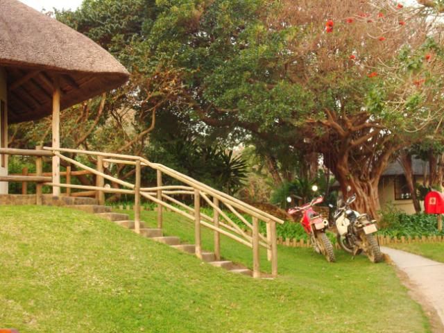
We found the Coffee Bay tarred road and slabbed it ‘home’, all the way to the White Clay Lodge, where we arrived as two highly strung individuals after bracing the people, animals and pot holes in the Transkei darkness.
 
I'm glad you took the easy way, you would have fallen more often on the difficult way :laughing4:

Very nice, enjoying this

Luss to go ride there again noW
 
Transkei – Day 4

Another day starts to slowly approach the Wild Coast.

DSC06756.jpg


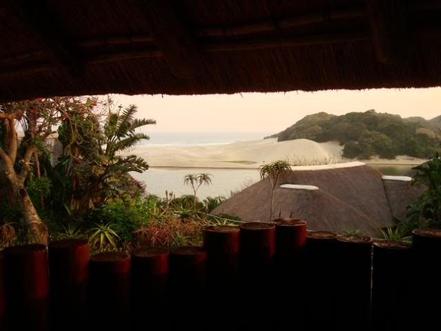
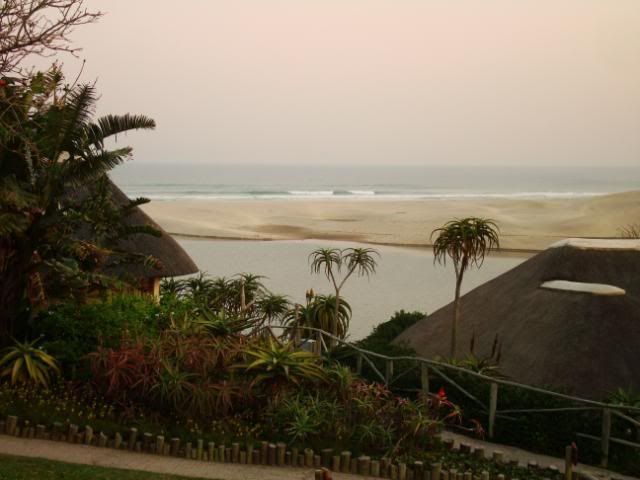
Having arrived in the dark last night, we only now realise in what a stunning setting this place is.
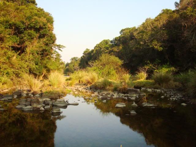
Our rooms faced out over the sea
DSC06758.jpg

DSC00055.jpg


DSC06755.jpg


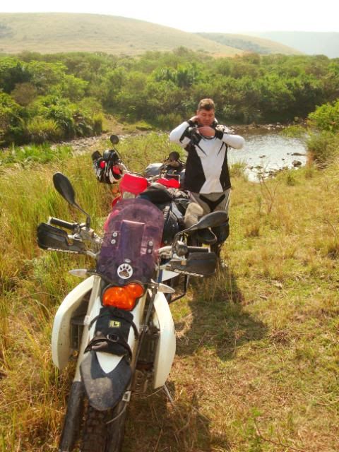
Before breakfast we had our usual routine of checking a couple of bolts on the boneys, yanking and then oiling their chains and checking the tyre pressures etc.
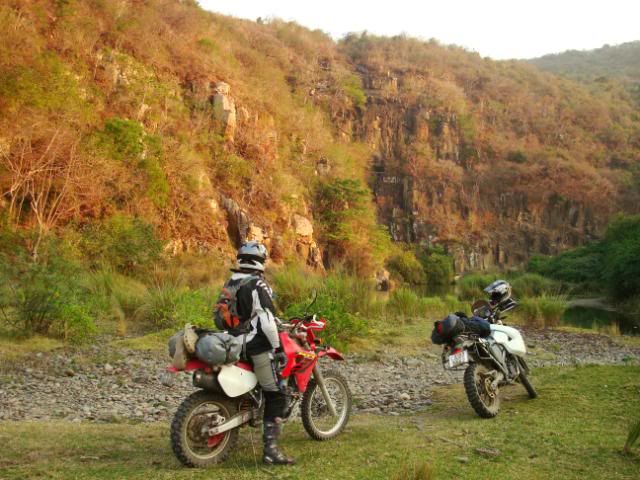
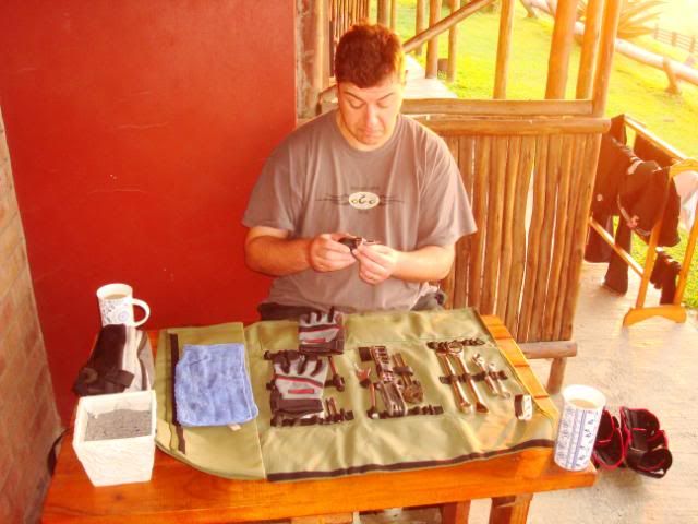
Brakenjan is absolutely amazing when it comes to being tidy. Had his toolroll contained surgical instruments, they can definitely use it at any time, without having to sterilize, to do some open hart surgery.

DSC06759.jpg


Whether he knows what all those things are, is of course a different story.

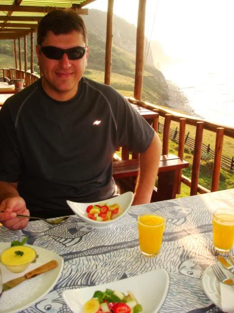
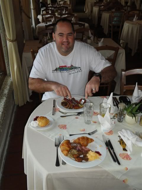
It was breakfast time. Again.

DSC06764.jpg


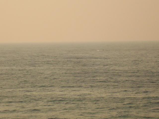
Not sure what the smirk is for? Probably laughing at my feeble attempts to photograph the whales entertaining us a few hundred meters out to sea:

Can you find Waldo (the Whale)?
DSC06763.jpg


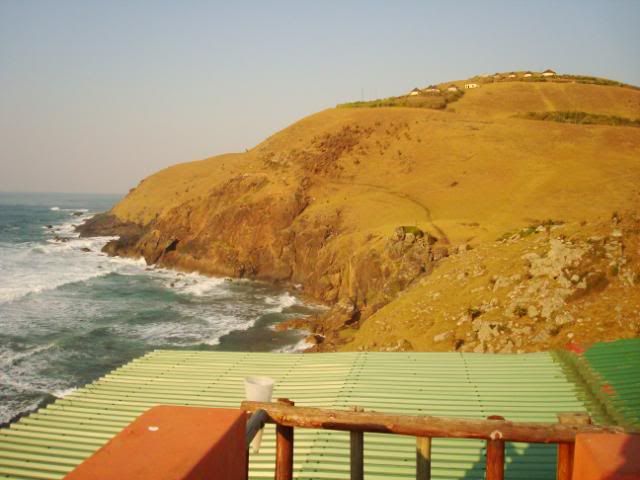
Looking south from the White Clay lodge
DSC06760.jpg


Due to me buggering up our route yesterday, I suspected that we missed some nice scenery from Bulungula to Coffee Bay. What’s more, Brakenjan has not been to Hole-in-the-wall either, so we had to turn south for about 9km’s to get there.

DSC06765.jpg


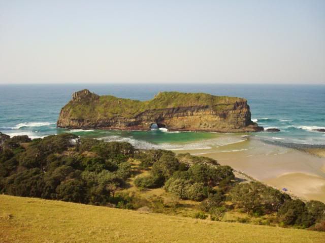
The famous Hole-in-the-wall

DSC06770.jpg


DSC06771.jpg


It was about 11h30 when we left Hole-in-the-wall, and the plan was to sleep in Port St Johns tonight, so we pushed on. Most of the cattle path / track type riding is now done, so we had to contend with bigger roads. Which I guess was not to bad either, as the scenery, even during the dry season, continued to be pleasing on the eye.

DSC06788.jpg


DSC06789.jpg


During the whole trip we had no mechanical issues with either the X/Challenge or with the XR650R. I did however had some breathing issues with the top tank pushing out fuel when it was filled to the brim.

DSC00071.jpg


This was sorted by just closing off the main tank’s petcocks and riding on the OEM tank until the reserve lights comes on, whereupon the top tank’s petcocks were opened again.


We again decided to take a shortcut across one valley, just for the heck of it. I was not too sure about the exact route and had to keep referring to my GPS, not paying the attention I should to the cattle path that we were on. I didn’t realise that it was actually raised a bit above the rest of the veld. My front wheel went off to the right when Mr G. Armin and I had an eye to eye, and I am not sure what happened then immediately afterwards. All I know was that my left leg was in pain again, together with my left shoulder as well.

DSC00073.jpg


Transkei = 3
Local sissy boy that can’t ride = 0

FFS.

Brakenjan of course was canning him behind me, as it all unfolded in front of him. Bastard was still shaking with laughter when I came racing past, backtracking the way back up the hill. This boy  had enough of little river crossings and other shit for one day. And this day had barely started.

Once again I worked my way down the GPS menu and choose the setting “Faster Time” to Port St Johns. Where we arrived at around 15h00. At this time my ‘moermeter’ had locked in the red from all the taxis we had to deal with on the tar road to PSJ. So we had one look at the township called Port St Johns, phoned up Umngazi River Bungalows, and about 45 minutes later, parked our bikes in front of our bungalow
DSC06796.jpg


had this view from my shower,

DSC06792.jpg


and then started sipping on a cold on or two while contemplating life in Africa in Umngazi’s heated pool.  

DSC06797.jpg


Africa remains to be one tough country.
 
nice one, this is one of those must do be done before i die :thumleft:
 
Double Ou en Brackenjan , jinne dit lyk asof julle 2 "gentle giants" n lekker trip gedoen het .  :thumleft:
 
Eendag as ek groter is wil ek soos oom-hulle maak. Dit is mooi plekke daai. Het julle nerens met die PB's probleme  gehad nie? Ek het die afgelope tyd meer en meer begin hoor van ouens wat met die plaaslike bevolking asook met die poelieste probleme optel sodra hulle van die pad afgaan.
 
Thanks for sharing, haven't been there in years, went to school in Butterworth or Gcuwa as it became later.  ;)
 
Once again I worked my way down the GPS menu and choose the setting “Faster Time” to Port St Johns. Where we arrived at around 15h00. At this time my ‘moermeter’ had locked in the red from all the taxis we had to deal with on the tar road to PSJ.

007, Did you take the main roads to PSJ?

Q: Are there roads / tracks that are passable, that you are aware of - fit for riding, a more direct northerly route from Cofee Bay to PSJ without having to head inland and out again?
 
vellies said:
Het julle nerens met die PB's probleme  gehad nie? Ek het die afgelope tyd meer en meer begin hoor van ouens wat met die plaaslike bevolking asook met die poelieste probleme optel sodra hulle van die pad afgaan.

Nooit nerens niks probleme met enige lid van die plaaslike bevolking of met die lang arm van die plaaslike gereg gehad nie. In fact – nie eers een poliesman gesien die hele tyd nie.

Ons was uiteraard baie hoflik elke keer wat ons deur / verby iemand se hutte of huisies gery het deur dit baie stadig te doen en nie te veel van `n geraas te maak nie, en natuurlik baie “gesmile en wave”.

Soos ek gese het, hier en daar was daar kleintjies wat vir jou die middelvinger gegooi het of vuis gewys het en dan so nou en dan het ek maar gestop en vir hulle die lazy eye gegee (as hulle nie reeds weggehardloop het nie) – skryf dit maar meer aan kattekwaad toe.

Persoonlik natuurlik sal ek bikers met groot klippe gooi as hulle deur my werf waag ry  :biggrin:

White Rhino said:
007, Did you take the main roads to PSJ?

Q: Are there roads / tracks that are passable, that you are aware of - fit for riding, a more direct northerly route from Cofee Bay to PSJ without having to head inland and out again?

Jip – we took the ‘main’ roads and actually had about 40km’s or so of tar before entering PSJ.

I believe there are various alternative and smaller routes closer to the coast that you can take from Coffee Bay north, although you will not be able to cross the Umngazi river, unless you are fairly deep inland. The owner of the White Clay Lodge sells a map that he produced with these routes – will see if I can scan it in for you.

Correct me if I am wrong, but I got the feeling that the better riding (i.e. more smaller routes) seems to be between Coffee Bay and Kei mouth? I also had the feeling that the 'southern half' (i.e. between Keimouth and Coffee Bay) is less populated and had a more rural feeling to me than the 'northern half' (Coffee Bay to PSJ)
 
Transkei – Last day(s)

I understand now why they rate Umngazi one of the top family holiday spots in SA. Apparently one have to be on a waiting list for some time before you can get in there during the December holidays.

But it remains to be a family orientated destination and definitely had that distinct feeling.

After our light breakfast

DSC00083.jpg


we had a squizz around the place
DSC06794.jpg


DSC06799.jpg


and commenced with the long way down.

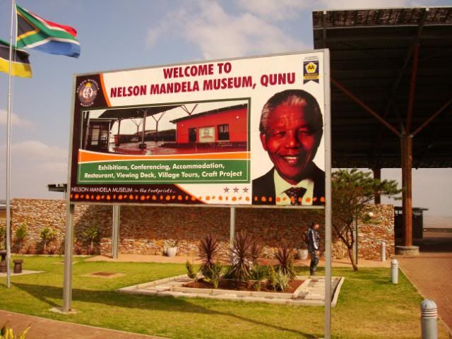
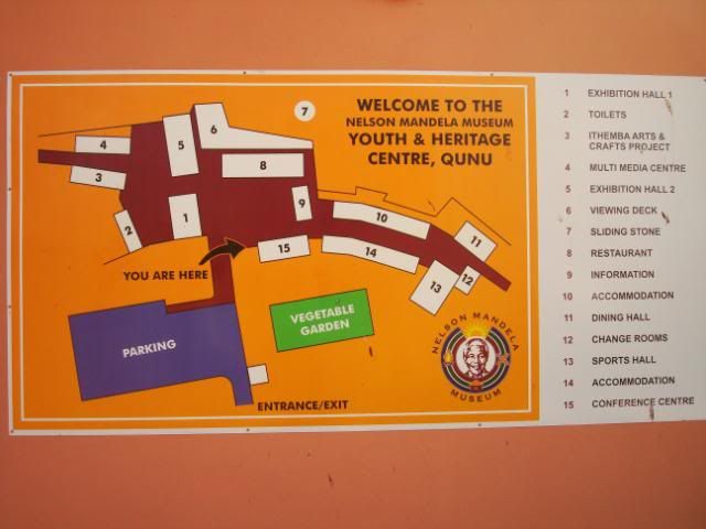
Our trip has now reached it northernmost point (yesterday in PSJ actually) and the last bit on our agenda was to stop off in Qunu, at the Mandela Museum, before the plan was to spend the last night in Transkei at the Wavecrest Hotel.

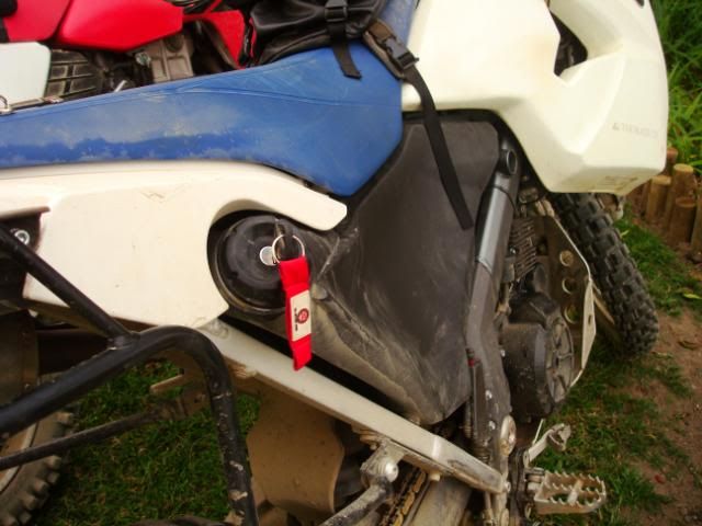
I think I found the problem with the breathing in my fuel system – it must be the breather of the OEM tank that is blocked – look at that vacuum! I could not even get the cap off without opening the top tank’s petcocks and cap

DSC06802.jpg


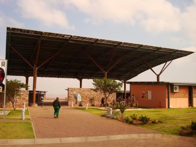
From Umngazi River Mouth we slabbed it to Qunu via some shithole towns, including Umtata,  before we arrived at the monument to the great man, just off the N2 at the little village called Qunu.

DSC06803.jpg


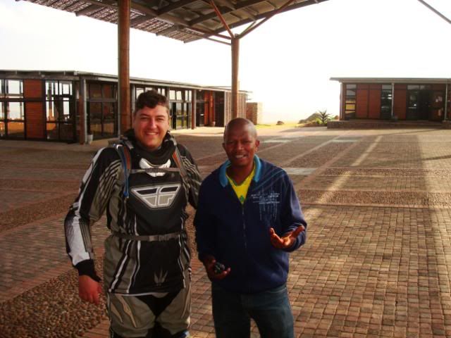
Qunu is where he went to school (and Mvezo is where he was born, which is some km’s away). We had a very friendly Xhosa guide who entertained us for almost half an hour with interesting facts from Madiba’s life

DSC06806.jpg


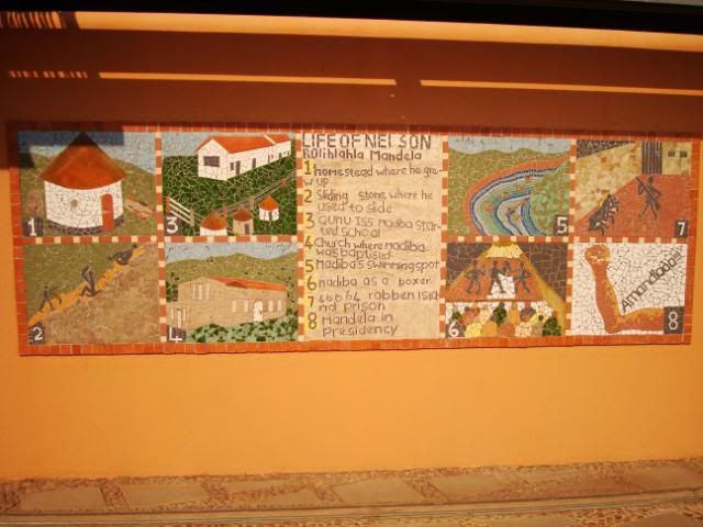
The place basically consists of a few display halls with one currently displaying a comic strip type story of his earlier life – the other were closed as they were changing the displays. There are also some lodging and conference facilities

DSC06812.jpg


DSC06805.jpg


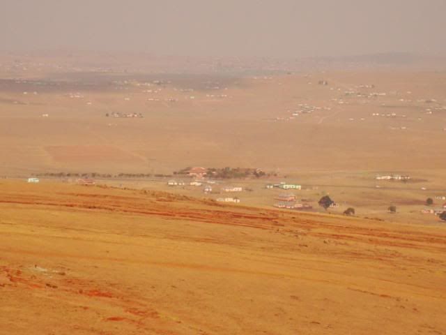
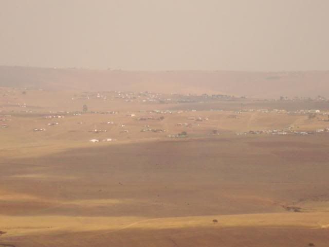
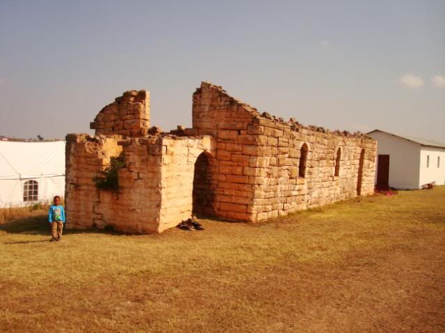
One also have a beautiful view over the valley where, if you know where to look, you were able to spot his modern house that he build for himself after being released as well as the remnants of the little church that he was baptized in.

DSC06807.jpg


DSC06808.jpg


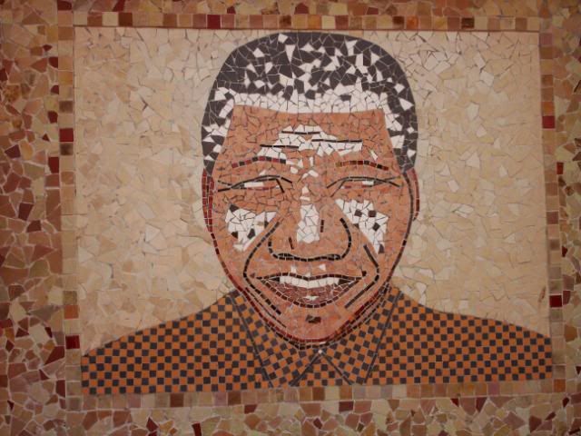
Some of the artwork displayed in and around the museum, etched into the walls

DSC06809.jpg


DSC06810.jpg


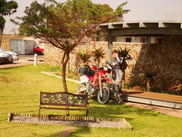
Brakenjan of course had no respect for the worlds most respected man. He jaaged straight onto the manicured lawn right in front of the place, blipped that Zaar a few times and then with big bravado parked his bike next to the little bench where Mandela made love to Winnie for the first time. Bloody white agent tendencies.

DSC06813.jpg


From here on we rode down the valley, riding in the footsteps of our hero and checked out the little church of his baptism
DSC06814.jpg


DSC06818.jpg


DSC06815.jpg


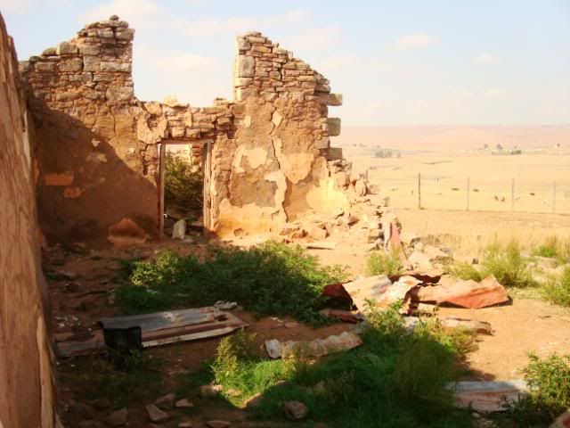
I hope they decide to restore it one day – it must have been a beautiful little church in its hey day.

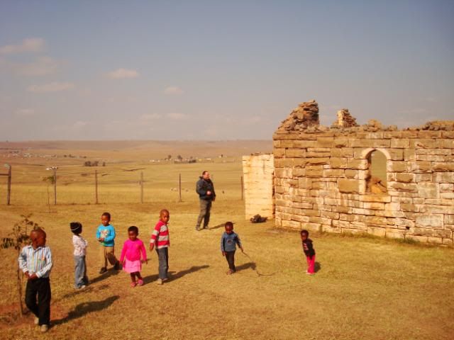
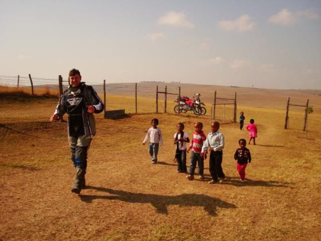
Pastor Brakenjan busy entertaining our next generation of future presidents one day

DSC06816.jpg


Looking back from the church towards the museum on the horizon

DSC06820.jpg


From here, we then wanted to make good time to Wavecrest, our last stop in wonderland.

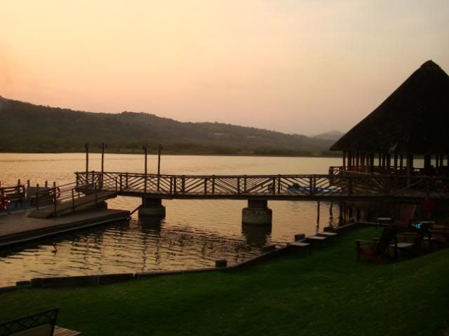
However, on the way there I got some word that Mrs oo7, i.e. ‘M’, was unwell and the call was made to cut our trip short with a day, so we continued with the slab and pulled that afternoon into the Morgans Bay hotel, which, of course, is also in a perfect setting

DSC00092.jpg


DSC00091.jpg


We had our last supper together.

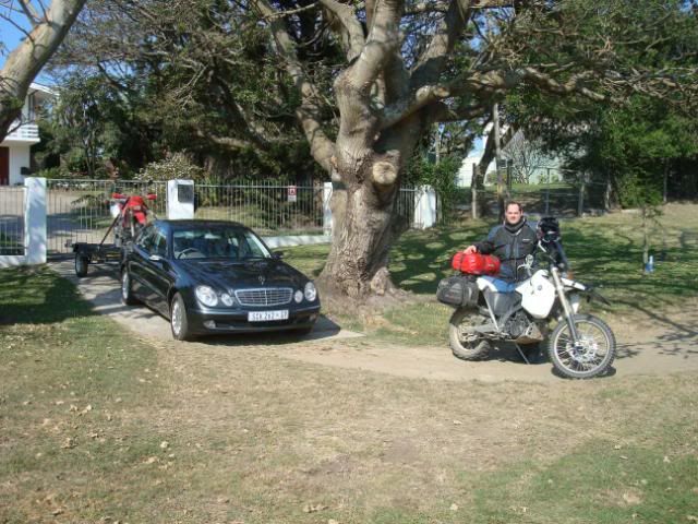
The following morning we both woke up with that dreaded disease, end-of-triptitis, and both were very sad to say goodbye. Here we are in front of Michnus’ place, ready to disperse: Brakenjan in the ampsmotor with the Zaar on the back and myself on the BMX.

DSC06822.jpg


I decided to do the long way back to Cape Town in two stages: First day to Stilbaai, which If I remember correctly was about 800km which left me with about 330km odd the second day.

During this trip the X/Challenge really impressed, especially during these last 1500km’s or so of tar. I literally must have stretched the throttle cable as I constantly sat on 155km/h-160km/h (at this speed there was no more throttle cable left) the whole time. This worked out about 145-155km/h on the GPS. And with the airhawk the plank only came out between my buttocks the following day, which is a day less than usual  :)

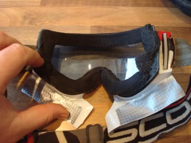
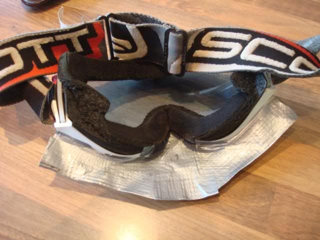
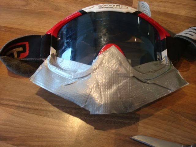
At Riviersonderend I ran into some rain and foul weather for the first time during the 10 days that I have been away. My goggles and Arai moto-x helmet was not  designed for rain, so I had to increase the size of my visor to protect my cheeks from the rain drops that turns into needles at >80km/h. A trip cannot be complete without using some ductape

DSC06823.jpg


DSC06826.jpg


DSC06825.jpg


Thanks for listening to our boring tale and pale photos.

Tjomma – it was a(nother) good one. Jy is die beste.  

doubleoseven signing off from yet another secret mission.  
 
Good stuff, Dubbelou! The Transkei is a another country and will hopefully always be. Great ride report.
 
Top