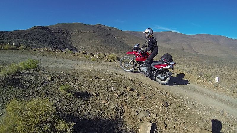
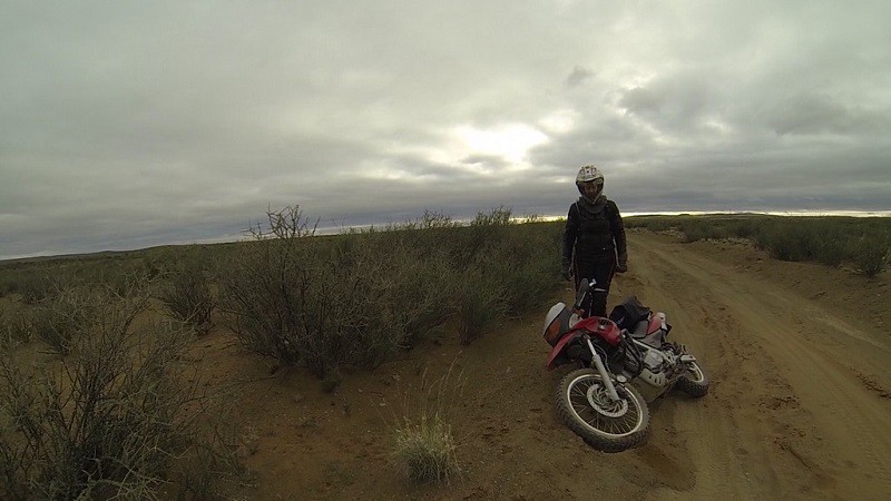
My ride report of Verneukpan follows below. Lance has posted most of the camp and people photos, so mine will largely be scenery.
Background
I had been shy of off-road trips ever since I busted my foot on 13 July last year. Then I get an e-mail from Lance, saying: “What about the 4th Annual Verneukpan Trip in six weeks’ time? It can be your break-a-bone anniversary ride.” My initial responses included: "Verneukpan road looks a bit sandy" and "Apparently it was -4 deg C on a previous trip." I should have listened to my one work colleague, who told me "Just do it! I know you'll end up going anyway."
Three days later we get invited by two friends on a trip through Tankwa Karoo, Sutherland and Ladismith via all the back roads. It sounded even scarier, but I ended up going and having a blast: https://wilddog.net.za/forum/index.php?topic=175676.0.
Going up Ouberg Pass:
About a week after this trip I was singing to a different tune: “You still keen to go to Verneukpan? I am amped to go on another trip again! I really, really enjoyed our last one.”
Day 1: Friday 10 July (click for Google Map link)
Lance and I set off at about 8am from Blouberg. Given my slow pace on gravel, we couldn't afford to take routes that were too far-flung, as we didn't want to ride in the dark. Hence, we were on the N7 until Piketberg. I was amazed at the beauty of this normally dull road. Everything was intensely green.
We took the back roads (R366 and R365) after Piketberg. These roads were still quite busy, with a couple of trucks passing us on the way. It made it miserably dusty. There was also bad sinkplaat on some stretches. It was at this point that my left-hand-side mirror fell off. It had done this on a ride the previous weekend. I had the internal thread replaced, but it seemed that the external thread of the mirror was also stripped.
Lance had been ahead, so he hadn't seen me stop. He turned around and headed back when he noticed that I had been missing from his mirrors for a while. His first thought was that I had crashed. When he saw my bike in the upright position with me next to it, his second thought was that I had a flat. I think he was terribly relieved when he saw it was only my mirror that had parted ways with my bike. My mirror was relegated to my soft luggage for the rest of the trip.
We turned off the R365 after 30km and headed through Kransvleikloof Pass (next to the Alexandershoekrivier) and Witelskloof Pass. They were both beautiful gravel passes.
Kransvleikloof Pass:
Road between Kransvleikloof Pass and Witelskloof Pass:
Witelskloof Pass:
Clanwilliam was the last town we would see that day, so we stopped for fuel and lunch. Lunch was at Nancy's Tea Room. I remembered it from the time when I was on a 3-week archaeology field course back in 2005. The place makes amazing iced coffees.
Nancy's Tea Room:
After Clanwilliam, our route took us over Pakhuis Pass, Klipfonteinrant Pass and Botterkloof Pass. I had always remembered how one day-trip on our archaeology course had taken us down into a valley, with mountains skirting the edges. It had seemed like another world back then; away from everything and stunningly beautiful. I had thought that I would never see it again, since I am geographically challenged and I did not even know where I was or how to explain to someone how to find the pass. Now I realised it was Pakhuis Pass.
Apparently the pass was tarred in 2011. This means that when I went there, 10 years ago, it was still gravel. I cannot remember the road conditions, but I do remember that it seemed wild and in the middle of nowhere. It made such a big impression on me at the time that I would remember it to this day, which is no mean feat considering I “live in goldfish bowl” as Lance likes to joke. This trait is actually very beneficial. I can go on the same road trip a couple of times and each time it would seem new!
Pakhuis Pass:
Klipfonteinrant Pass and Botterkloof Pass are still gravel and will hopefully remain so. Again I was struck by the colour. Everything was emerald green. I spotted a black eagle on Botterkloof Pass and stopped to have a good look. That's the one good thing about being just the two of you: you can easily stop and look at anything that catches your interest without the feeling that you are holding up an entire group.
Lookout point at Klipfonteinrant Pass:
Klipfonteinrant Pass:
The alternative mode of transport:
Botterkloof Pass:
The gravel roads after Botterkloof Pass were quite good in general. I surprised myself and Lance by riding between 80 and 100 km/h. This may seem slow to the seasoned travellers out there, but it was fast for me. For the first time ever, Lance and I were riding together. Usually he would charge ahead and then wait for me. Now I was going fast enough for him to feel comfortable, or at the very least not intensely frustrated, with riding at my speed.
The route we took between the R27 and the R355 is actually showed incorrectly in the Google Map link. We took the road running parallel to the West of it, but Google Map indicates that the southern and northern sections of this road do not meet. Lance has registered a fault with them, so hopefully this will be rectified in future. This small farm road was very enjoyable. The southern section has a fancy cattle grid with an arch overhead. It was on this stretch that a little bokkie (steenbuck?) ran in front of me. I was going slow enough and it was going fast enough for pain to be avoided.
The route that doesn't exist on Google Map:
Back on the road more travelled:
Lance taking a break:
Water crossing:
Wide open skies:
Aardvark have staked out food mining rights in the approach road to Lekkeroog. Some of the holes we saw were big enough to pose a serious hazard to a biker. I'm glad I saw the deep ones before ploughing into them. Apparently others also had some close calls.
Lance and I arrived at Lekkeroog Farm just before sunset. We rode through a neighbour's farm. Since we were going my pace (slow and carefully), we did see the gate in plenty of time. Not so for Rightsidedown!
There were only about 6-7 people at Lekkeroog when we arrived. The rest were either en route or lost. Riders trickled in over time. Eternal respect to Pienkhemp, tackling the Eselbank road as a first off-road experience! Lance is making noises about trying out that route, but I will try to delay the inevitable for a little while longer.
I was very glad that Lance is like a human GPS. He never seems to get lost. It struck me that you really need to be self-sufficient and prepared for any strange eventuality. If you get lost, no-one will even begin to know where to start searching. Lance and I had only seen one biker, a farm worker on a plaasbike, on our entire route to Lekkeroog. This is what makes South Africa amazing: the huge open spaces of nothingness with no cell phone signal. I can't imagine ever living in a place like the UK. Too small.
The plaasbike:
Does anyone know what happened to the guy that flew past Lekkeroog twice like a bat out of hell? I am also keen to hear the full story behind Parkinoff's “mechanical.”
Lance and I didn't shower, because it felt like too much of a mission (this would remain our reasoning throughout the trip!). I'm glad we didn't, as it appears there was no hot water anyway (gas ran out). I easily slip into “grunge mode” on a trip. I either do clean or dirty. No in between.
Lance and I slept in the “basement” section of the barn to avoid the bright lights on the “upper storey.” We both slept with ear-plugs, so were blissfully unaware as to any snoring that may or may not have taken place.
Before we moved to the basement:
Unfortunately I didn't sleep too well, because I had a stupid back-muscle that decided to go into spasm. Is this what happens when you get older? I also slept too warm, if that can be believed. I had climbed into bed with thermal underwear (top and bottom), jeans, two warm tops, a neck-warmer and beanie; basically all the non-biker clothes that I had taken along, aside from a thick jacket that served as a pillow.


