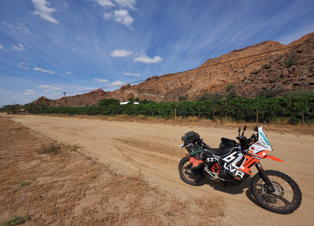
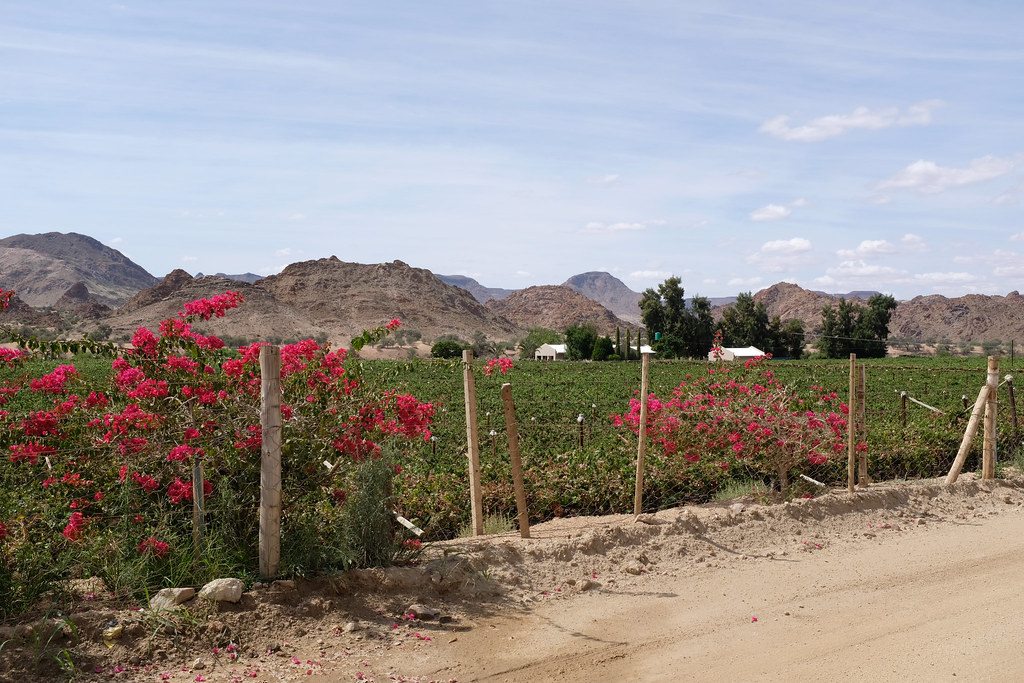
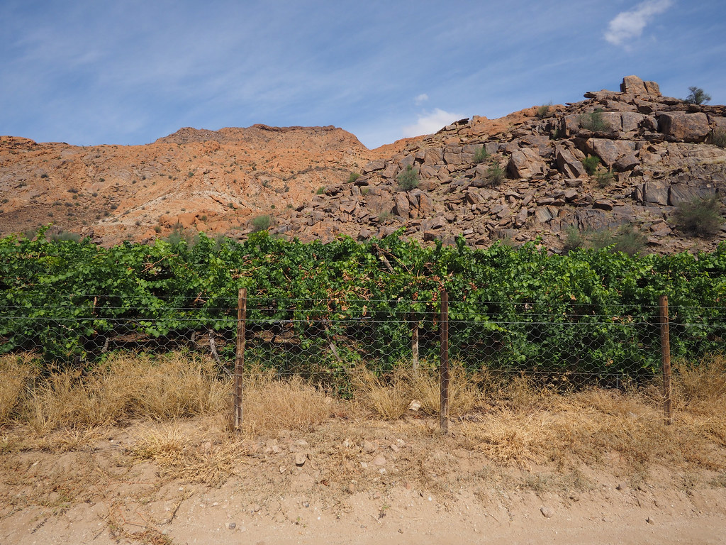
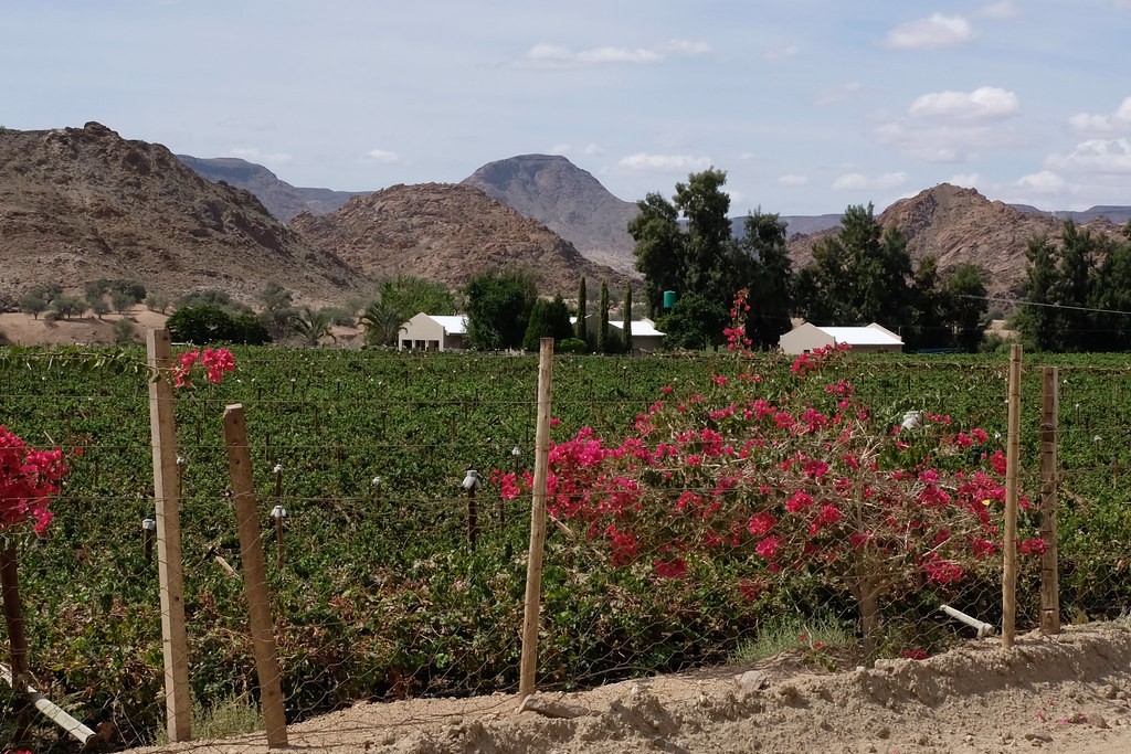
Day 5
The moment border opened at 8:00 am the gastro tourist was there impatient to make it the full English breakfast at Molopo lodge couple of km down the road. There were only two cars waiting, but for some reason it took quite a while to get through.
Once through I gunned it to the lodge, where I filled up the petrol first and then settled for the breakfast where I annihilated all pigs in blanket on the display followed by a bowl of yoghurt and whatever fruits they had on display. Then I had a breakfast. After that I relaxed a bit drinking all the fruit juice on display to recover from the dehydration day before. Eventually, at almost 11:00 am I reached the point of saturation and it was time to move on.
The objective for the day was Riemvasmaak. It was kind of liaison, but to make it bearable the plan was to get there on the double tracks heading south-west across the dunes and salt lakes and then continue on the little farm dirt roads I’ve spotted on Googlemaps.
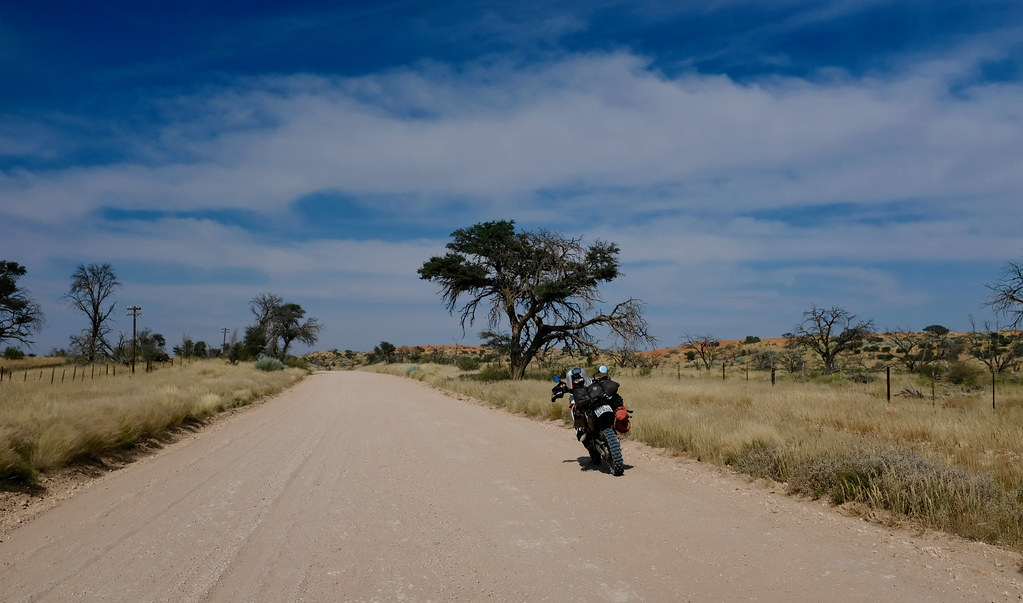
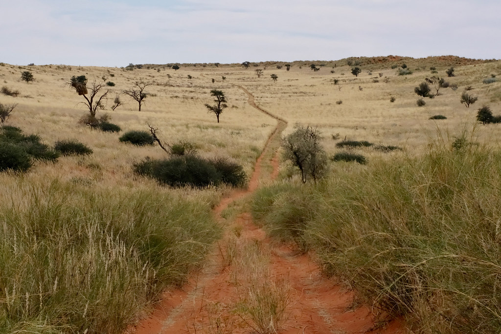
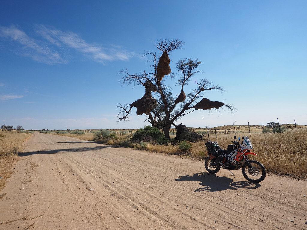
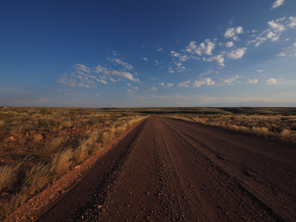
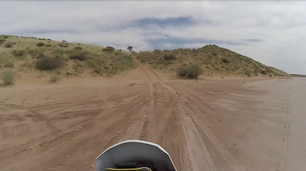
From the lodge I took what was the signs called ‘Red Dune Route’, which is a dirt/sand highway heading south west towards place called Noenieput.
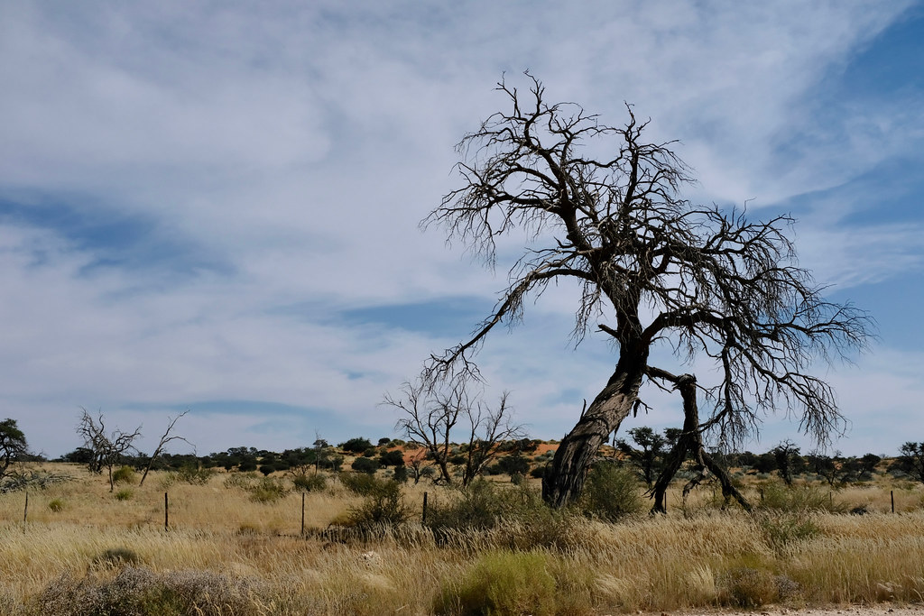
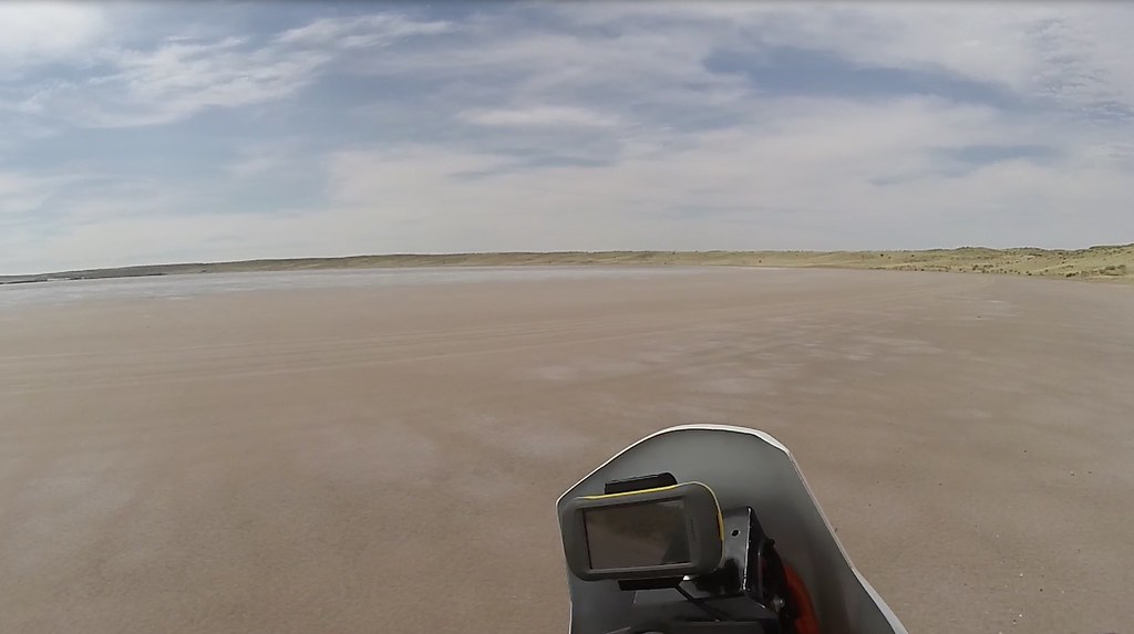
Red Dune highway is nice and scenic and all that, but not what I came for. Few km down that route I wanted to turn west on a track I’ve seen on Googlemaps and cross the sand and salt lakes south of Hakskeen pan all the way to the main dirt road heading from Rietfontein to Noenieput along the Nam border. To my annoyance when I arrived to the turnoff point, it was a locked farm gate with no-one in sight. Grudgingly I continued down the Dune route, until I spotted on T4A few km ahead a nice loop of about 50 km heading deep into the pans.
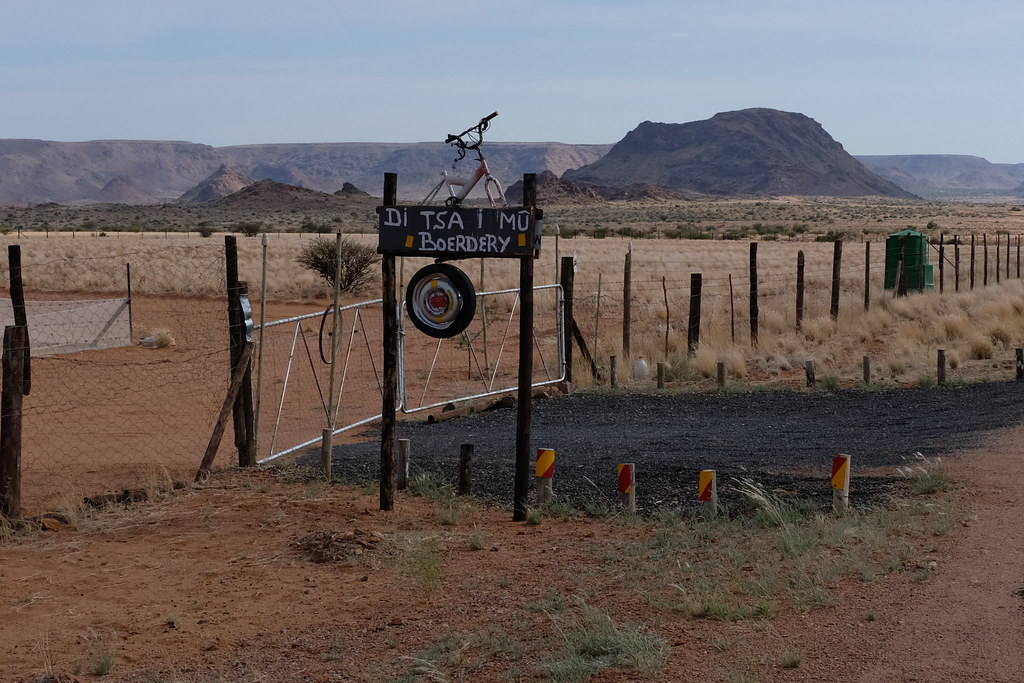
When I arrived to the turn-off, it was an entrance to another farm, but this one was open. I rode up to the farmhouse to ask if it is OK to ride there and the nice lady of the house said sure and even provided me with printed map of the track with designated main highlight. Score.
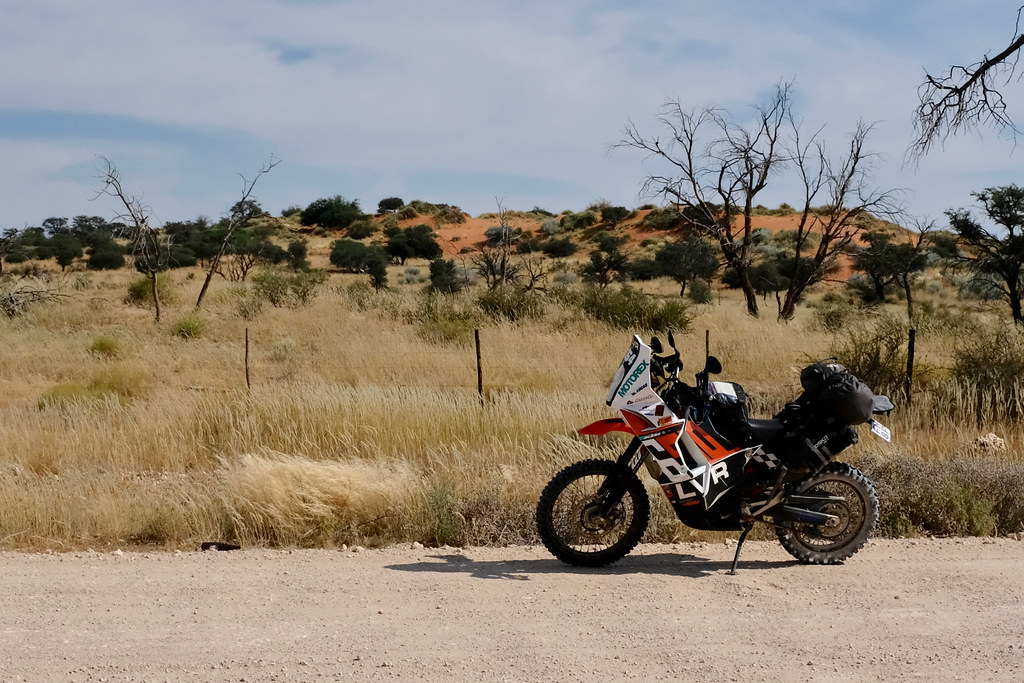
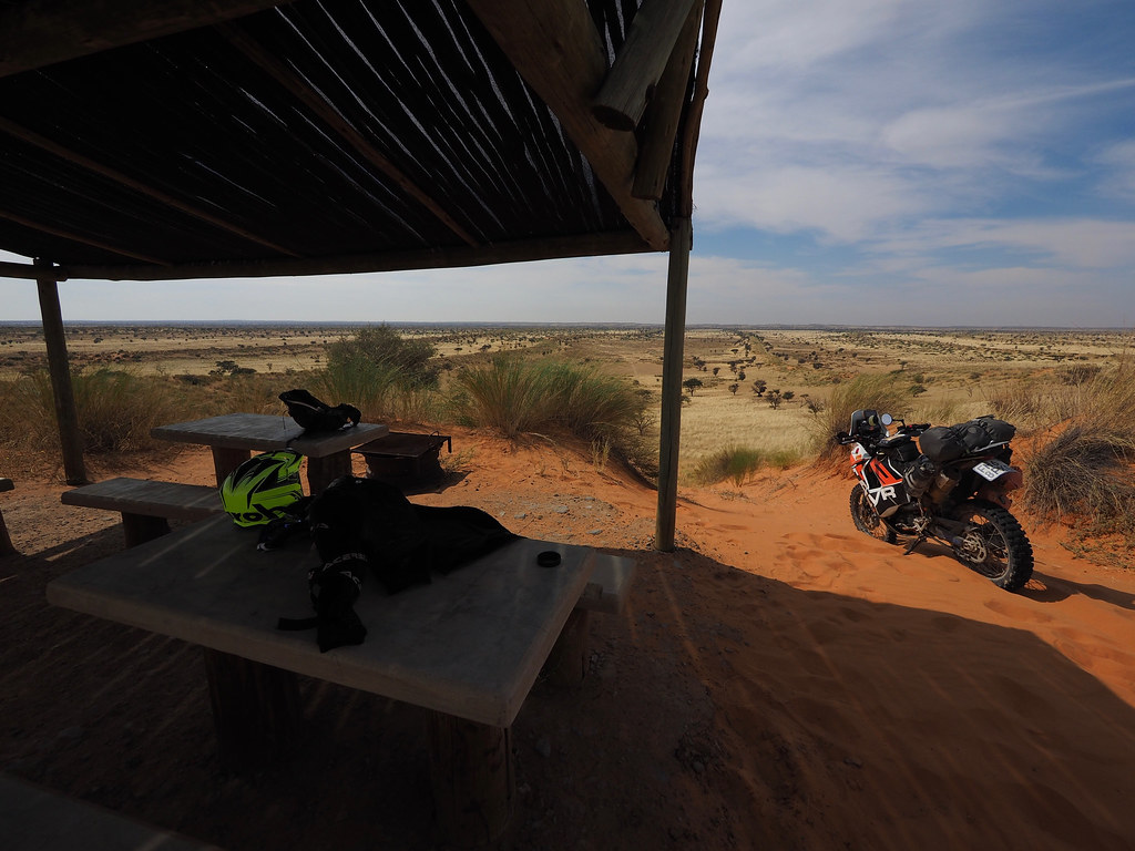
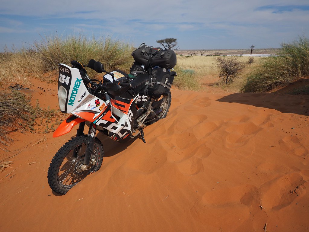
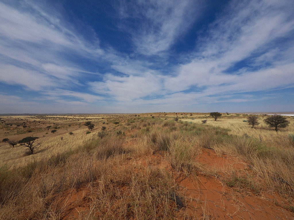
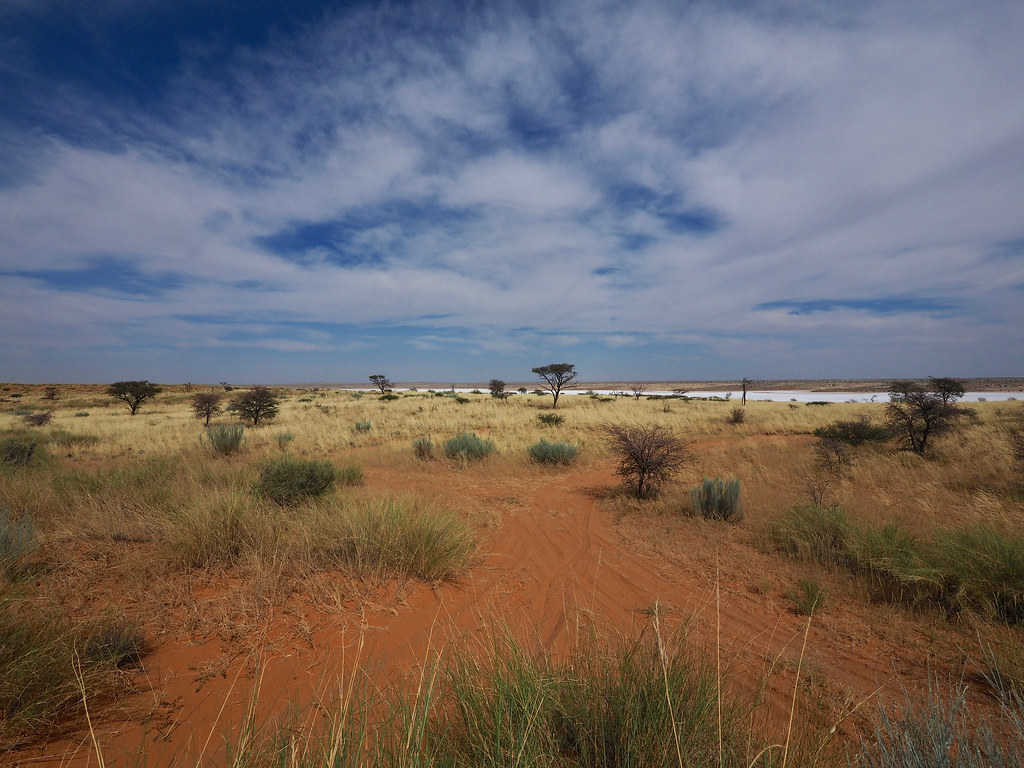
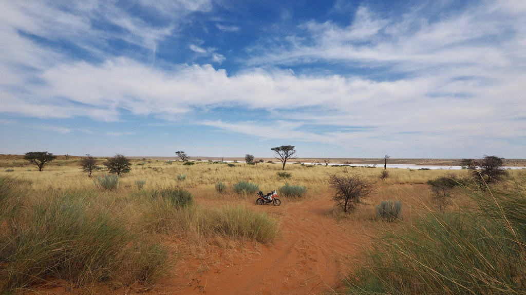
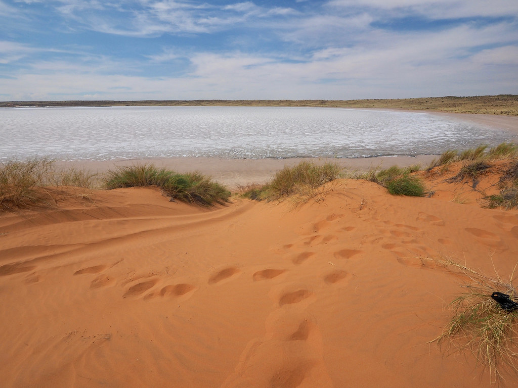
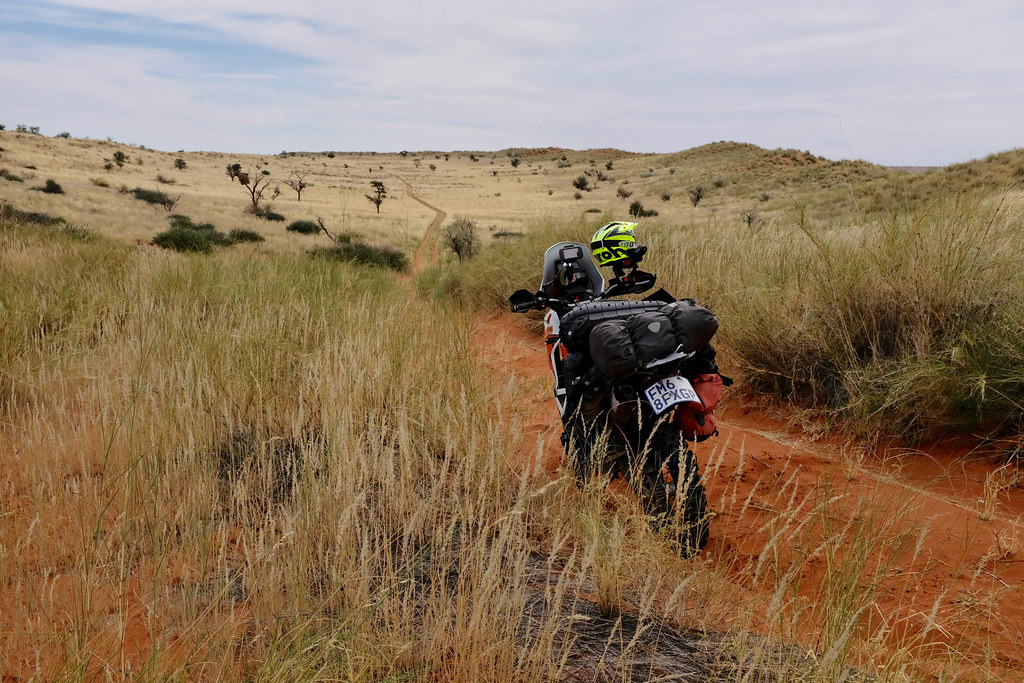
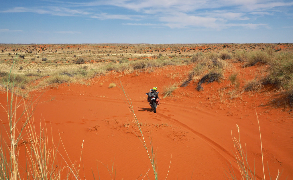
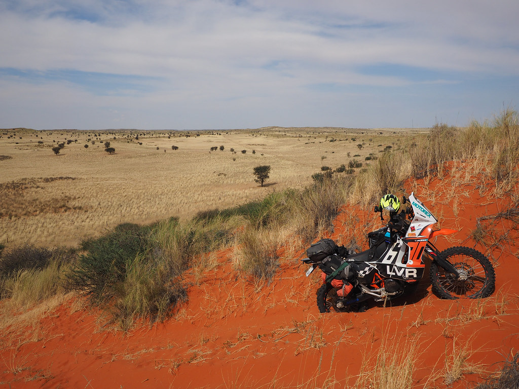
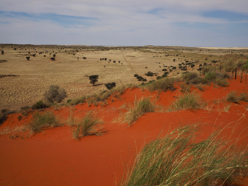
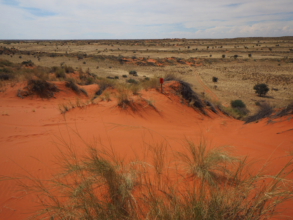
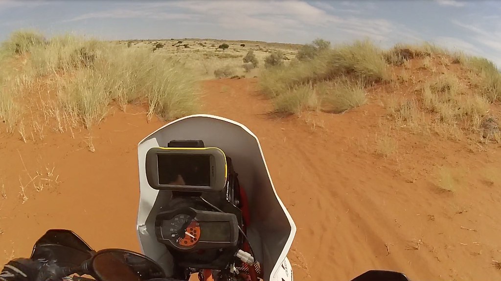
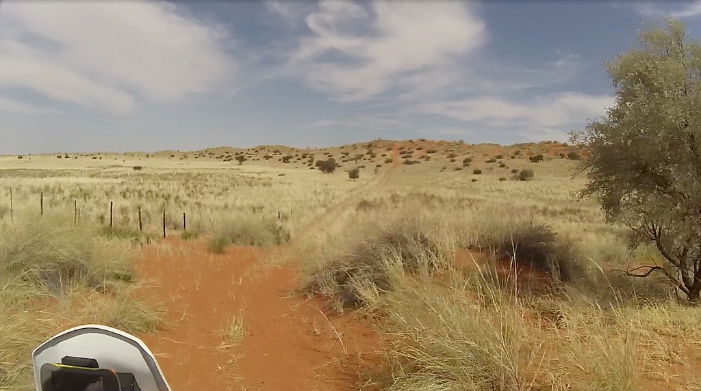
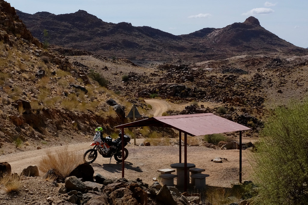
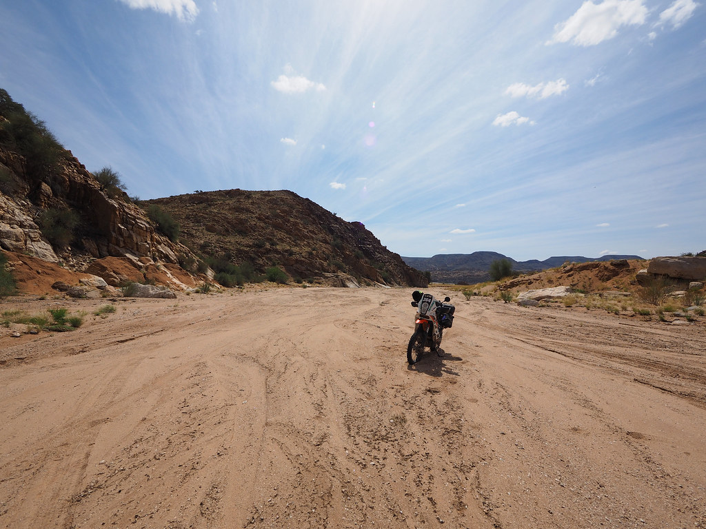
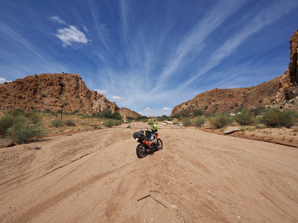
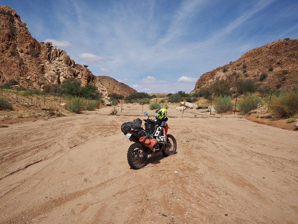
First 10 km was a sand double track running in the valley between two long dunes. At the end of the valley was a sizeable red sand dune with a covered seating area for sundowners (I think the farm had campsite and rooms for rent). I rode up and took a lunch break in the shade.
Sundowner viewpoint:
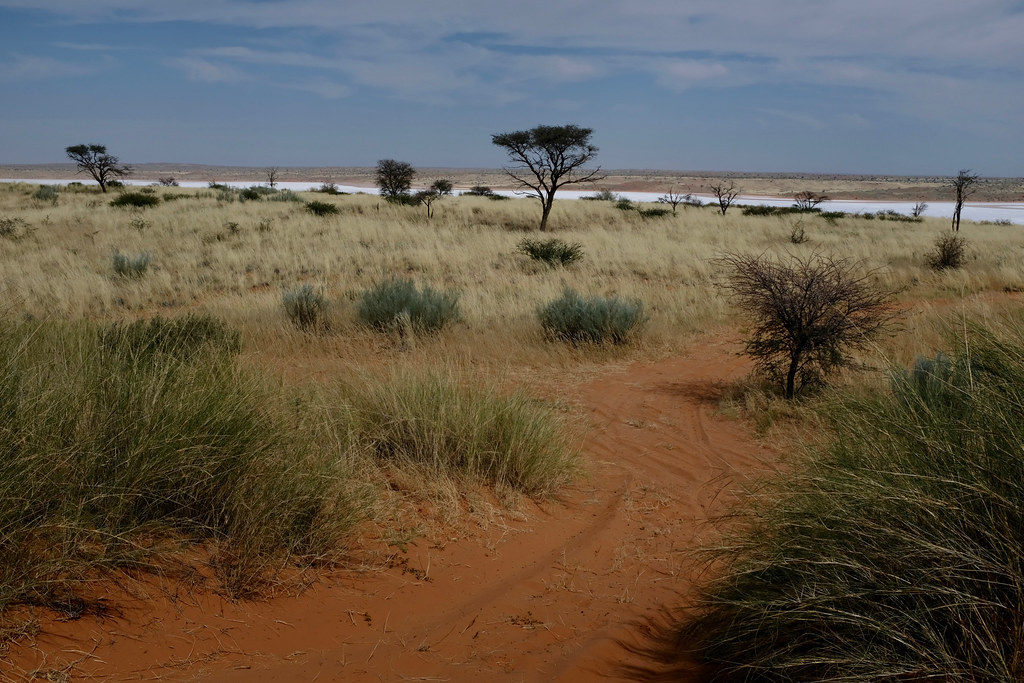
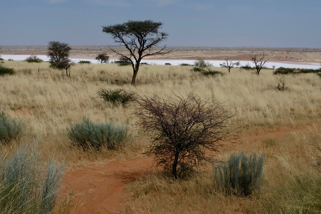
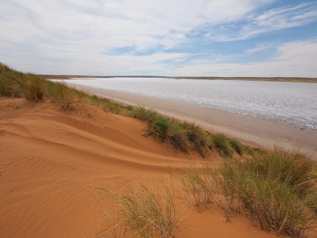
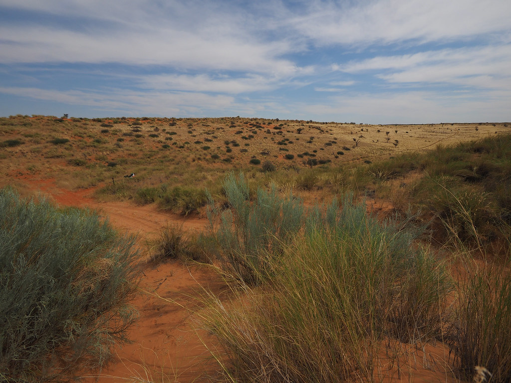
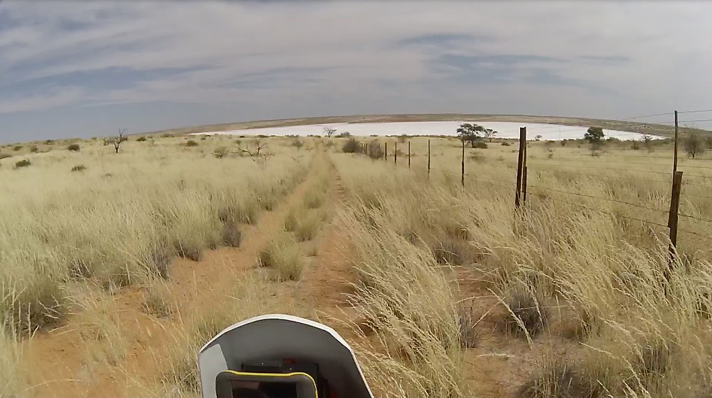
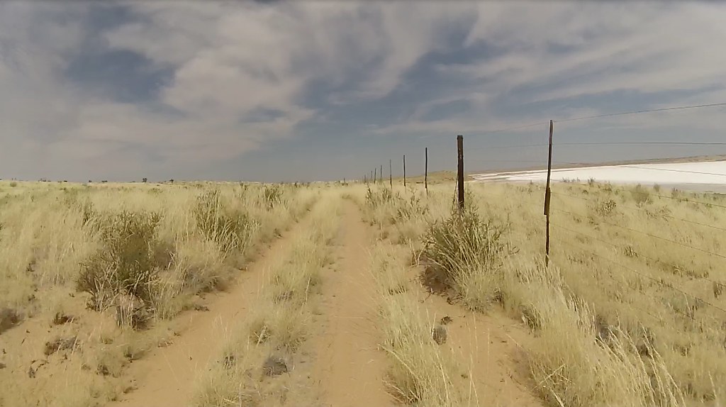
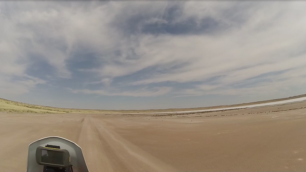
I then continued to a small salt pan I could see in the west, which I crossed and run up the dunes again.
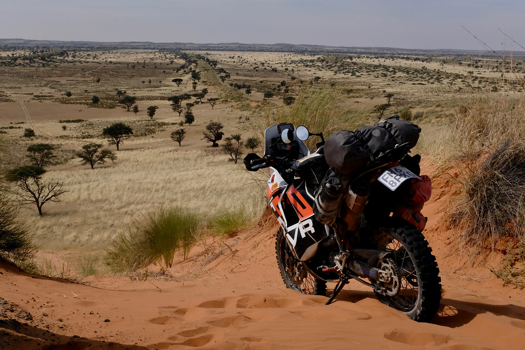
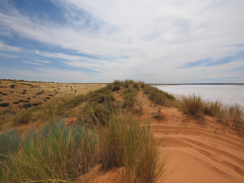
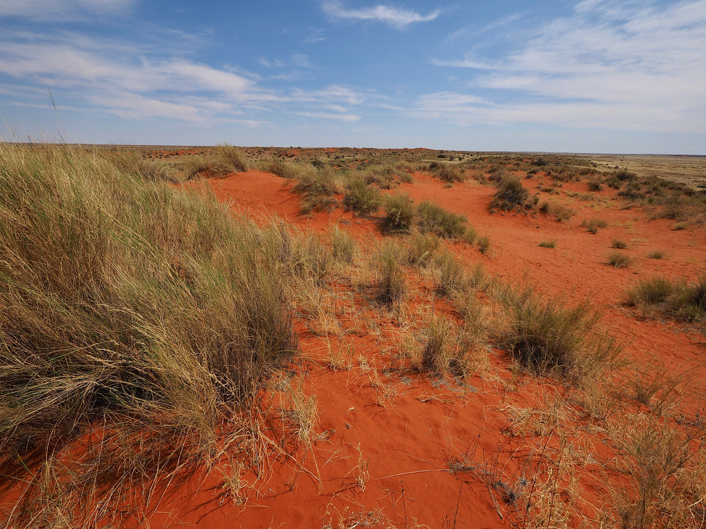
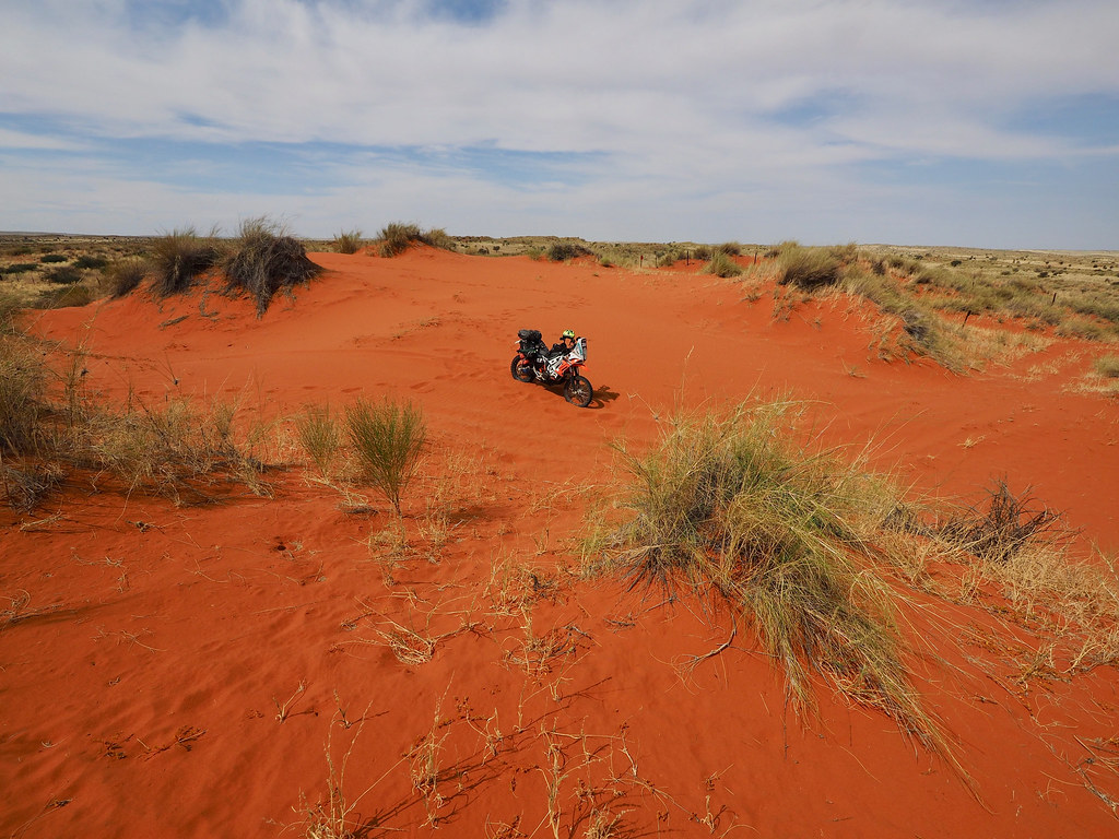
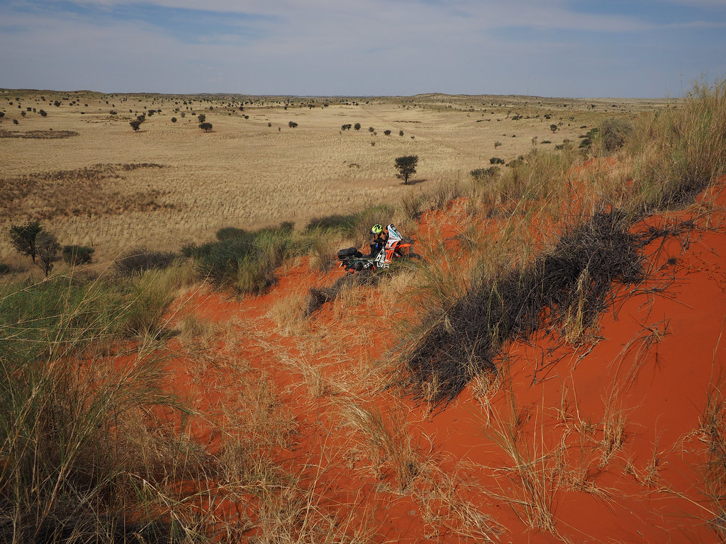
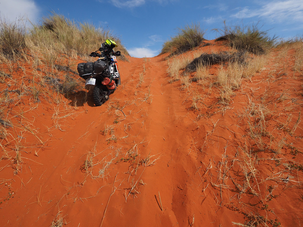
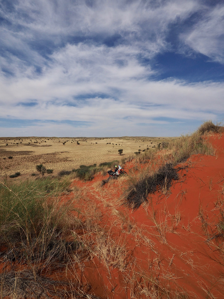
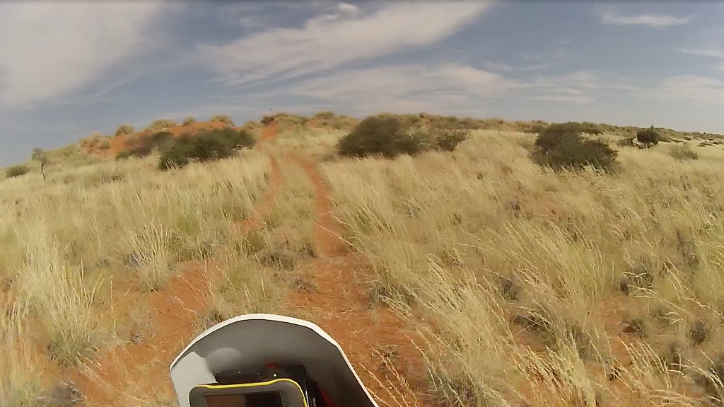
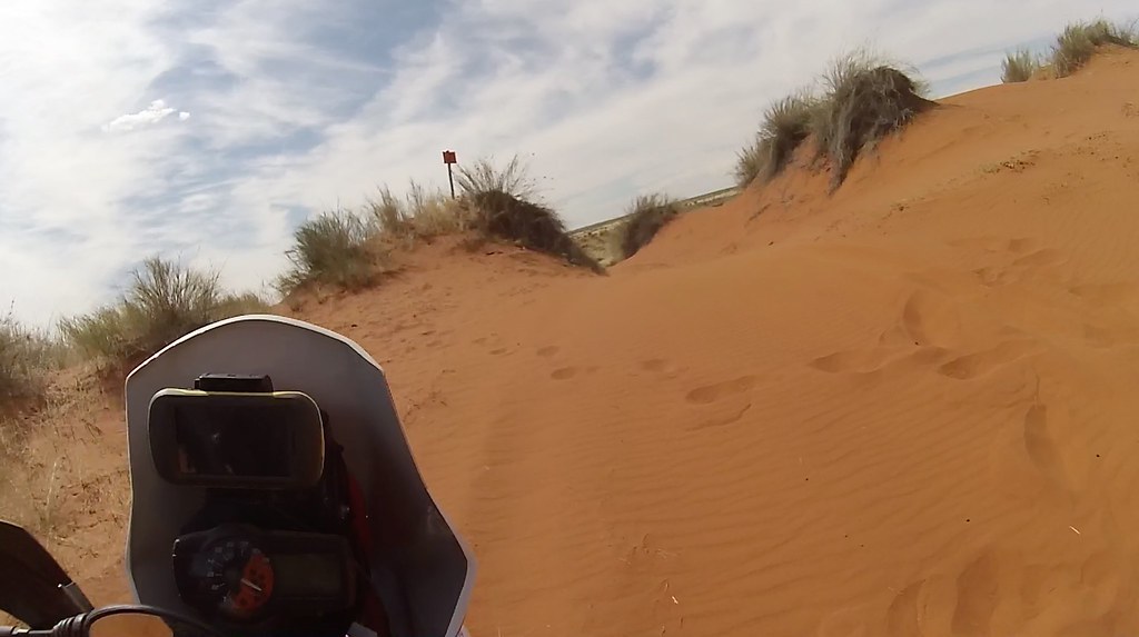
From there I continued through the dune fields until I eventually arrived to another high red dune, which the map called ‘The best viewpoint of Kalahari’, or some such.
The 'Best view of Kalahari' dune - I didn't make it all the way on the first try and as knew I will be turning back, I didn't bother trying again:
The ‘best viewpoint’ was about two thirds of the loop and I could see on the map that the remainder of the loop just follows farm boundary and crosses many gates, so I just turned back and re-traced back the the farm the way I came.
Back at the farm I asked the nice lady for some water and drink, assuming they have a bar as part of the lodge. They didn’t have a bar, but she gave me 5 litres of water and bottle of some soft drink, which she refused money for. I felt like a true asshole for unwittingly abusing her hospitality - though to my defence I really thought they were selling drinks for the guests in the campsite and rooms.
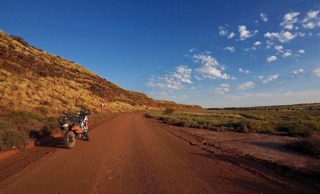
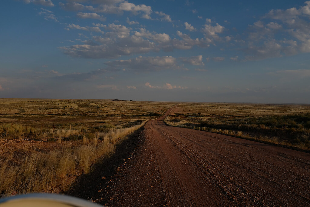
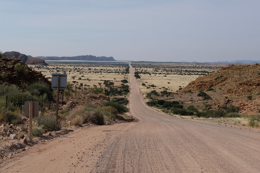
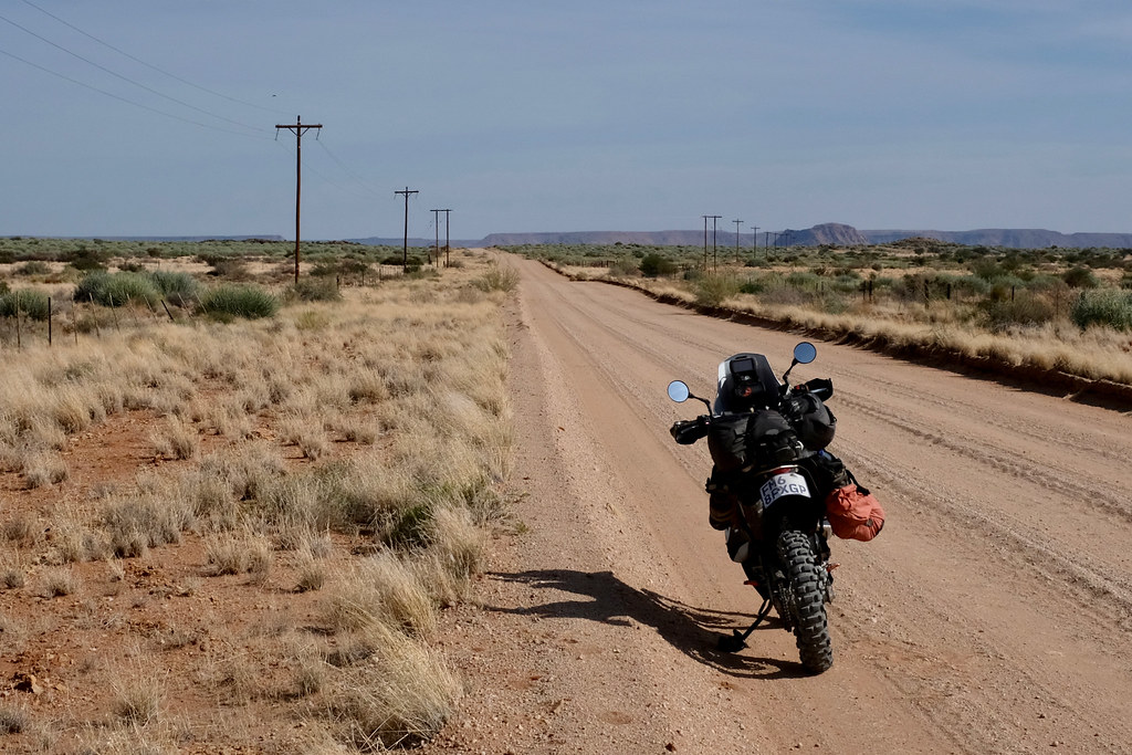
By that time it was way past 3 pm and I still had about 180 km of dirt to cover, so I gunned it down the Red Dune route trying to outrun the slowly setting sun. The route was pretty corrugated at places and riding mostly upwards of 120 kmh, I have noticed horrible racked from the fairing of the bike. I stopped and inspected everything I could, but couldn’t find any fault, so just pushed on.
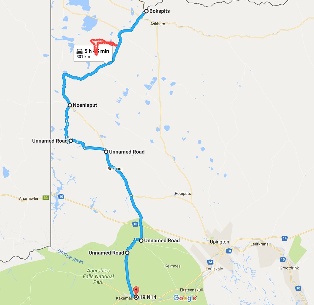
In Noenieput I filled up and turned off onto a small very sandy farm road heading south, which I found on Googlemaps as a very convenient shortcut to Riemvasmaak about 100 km south as the crow flies. By now very comfortable in sand I was racing the setting sun as fast as I could, but I got quickly frustrated as I was running into closed gates every km or two.
Eventually it was obvious that I had not a remote chance to make it through all those gates with any light left, so I took another dirt road east which after about 30 km connected back to the main dirt road heading from Noenieput to Upington.
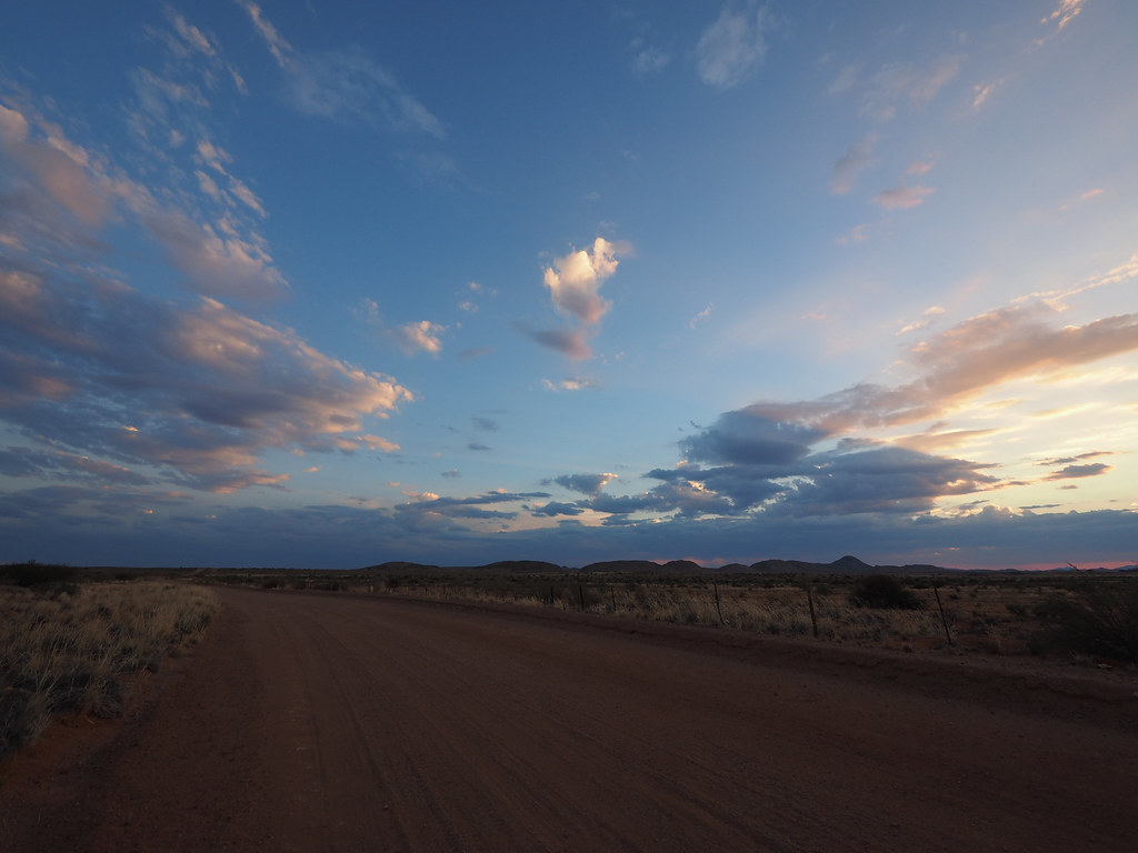
After few dozen km I turned off the main road south and rode down to Lutzputs. There I turned west straight into the very low sun and rode completely blinded ( sunshield on my trial helmet is too short and completely useless) few km until I came to the right turn-off towards Kakamas 50 km south. Completely blinded and trying to focus on the road sign at the crossing I turned left and next thing found myself on the ground. Some bloody illuminati has graded 5 - 10 cm of new gravel on that connecting road, which ended at the edge of the road I was coming from and blinded I missed the edge I tried to get on at way too shallow angle.
Properly pissed off, I picked up the bike and gunned it down south - it was clear I’m not going to make it with any daylight left, but I wanted to ride as little as possible in the dark - especially as I noticed that my short beam wasn’t working.
The turn-off to Riemvasmaak another 40 km away was at the outskirts of Kakamas and as I closed in in the darkness I was met with a gale force wind caused by electric storm brewing ahead. So it was a no-brainer to call it a day in Kakamas. Especially as my inner gastro tourist was lobbying for this all the way from Lutzputs, as I didn’t know if there is any restaurant in Riemvasmaak (there isn’t), but I knew great - albeit expensive - one in Kakamas. Vergelegen Country Gueshouse where I made it just before the storm caught up.
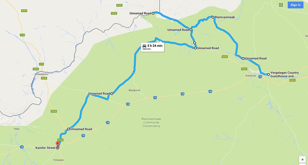
Route for the day:


