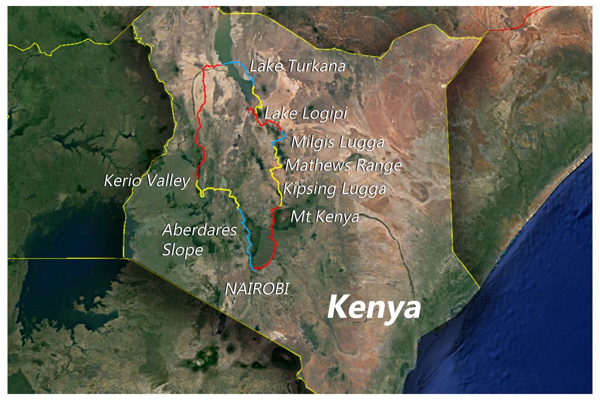
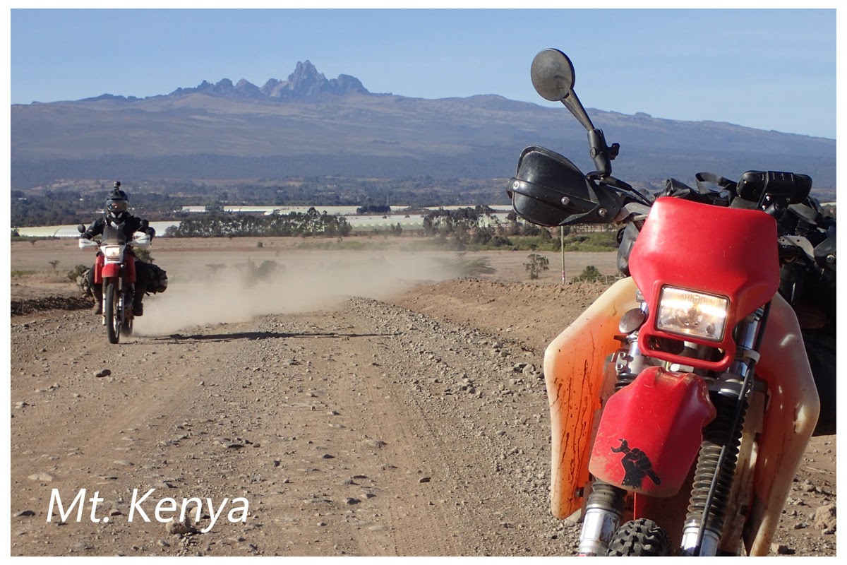
Eager to ride doesn’t begin to describe it. We were gagging! Up early and on the bikes, we were greeted by the benevolent face of Mt. Kenya, completely free of clouds who watched us turn North and rip our way to the edge of the Borana escarpment through a game area of the same name. The roads were very quick and the views were wide. In time, we reached a forested area with a meadow in it that represented the end of the highlands. From here, there was nowhere to go but down.
Above: The XRs and Mt. Kenya
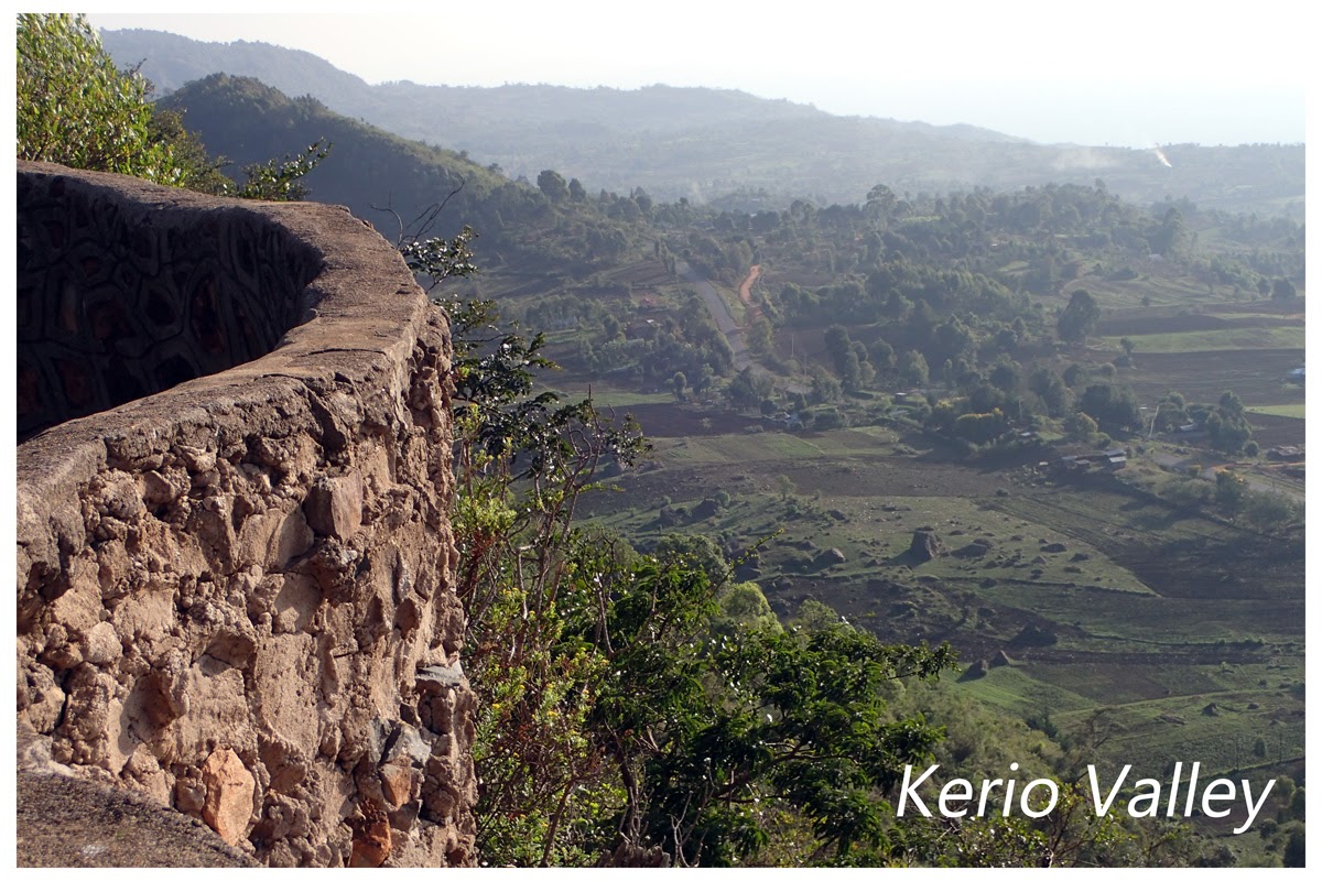
At the big meadow, we decided to take a small detour to what I believed would be a lookout spot on the edge of the valley. Google Earth is an amazing tool for finding places like this, and it turned out to be a beautiful spot. The only downside was the presence of very, VERY fresh elephant shit that, as the point person pushing through dense bush, made me more than a little uneasy. I’ve been on walking safaris where not even the guide saw the elephant until he was only a bush away, and here we were on bikes with nowhere to turn. Fortunately, our noisy aftermarket pipes were signaling our arrival well in advance, and wherever Mr. Tembo was, he was hiding from us.
Above: That’s fresh stuff, man… flies and everything
Above: The lookout. Our route down would take us behind those peaks
Above: From the relative lushness of the highlands, the dusty haze of the semi-desert below looked foreboding
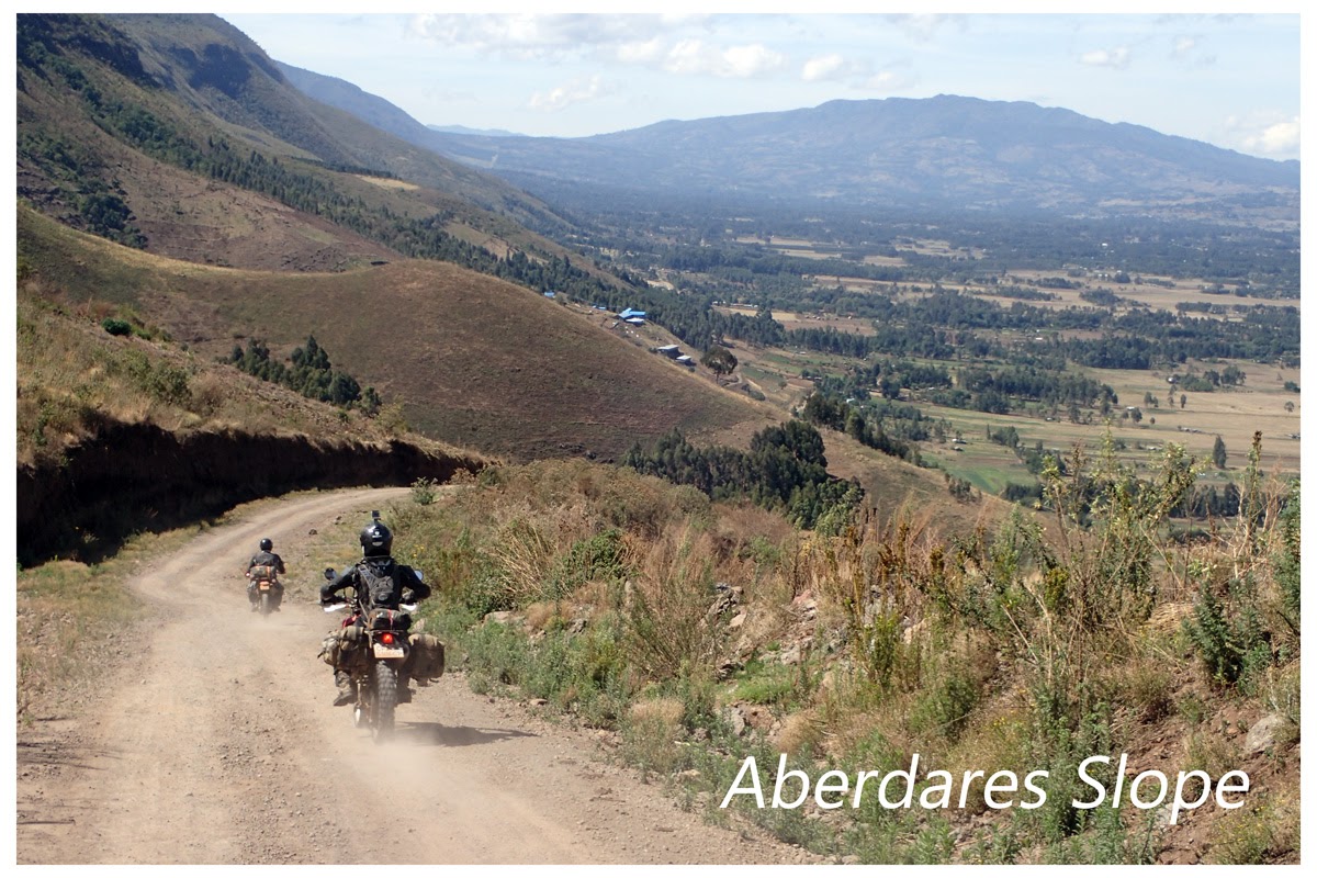
We began our descent. The track down the escarpment was once a road, but now a 4x4 would struggle in many places. At first there were signs of boda boda tracks and bicycles, but they quickly vanished and we were on our own. The few villages we saw as we got deeper and the temperatures rose were small and very traditional. Goats seemed to be doing okay on the patchy green from recent rains, but it was far from lush down there.
Above: The descent begins. Nice, hard packed dirt with plenty of rocks to skitter around on
I’d given the other guys the GPS tracks I’d made from Google Earth. Home-made tracks, though very accurate, can have a few inaccuracies that need to be evaluated on the fly. I’m used to this. The guys aren’t. Before I knew it, I was alone in the bush. Cutting the engine, I heard one bike laboring somewhere, but couldn’t hear the other. I turned back and found Kolobus climbing out of a riverbed where he’d been misled by an old track, but Rawlence was nowhere to be seen. I scampered back up a scrambly section to find that, sure enough, he had gone straight down the spine of the ridge on a foot path rather than angling down as we had. I found him on the hillside, XR wedged in some bushes, none the worse for wear but overheated. It was a struggle to pull his Pig out of there, but we were soon back on track.
Above: Rawlence decides to go enduro
Above: The Pig rests in the bush, Rawlence hydrates from his MSR water bladder
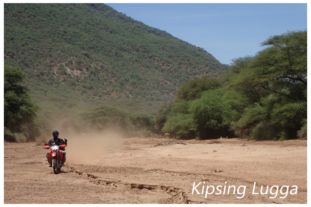
Coming down from the rescue mission, I ran over a branch that quickly wrapped itself into my sprocket and rear brake. Fortunately, we bikers are prepared. I pulled out my Masai Kisu and whacked away until the branch gave up and we could proceed. In no time, I was flailing on a tight inside corner where I couldn’t quite ride around, and couldn’t quite get my feed down either. Rawlence and I opted for the walk through, but Kolobus did a dainty little ride through, showing us how it’s done. The track became ever rougher until we finally caught sight of the river bed. The famous Kipsing Lugga at last! We celebrated with a box of smashed crackers mixed with various sardine options and drank as much water as we could. It was getting hot, damn hot.
Above: Using the Kisu to free the Pig, walking the Pig around a (not so) tricky bit
Above: The road continues, roughly through the thorns and heat
Above: Our lunch spot on the Kipsing Lugga
To be continued...


![Professional First Aid Kit, Trauma First Aid Kit with Labelled Compartments Molle System for Car, Hiking, Backpacking, Camping, Traveling, and Cycling[New Upgrade]](https://m.media-amazon.com/images/I/41uCkwNilAL._SL500_.jpg)


