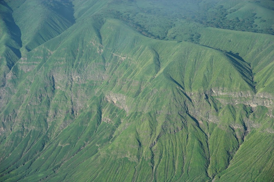
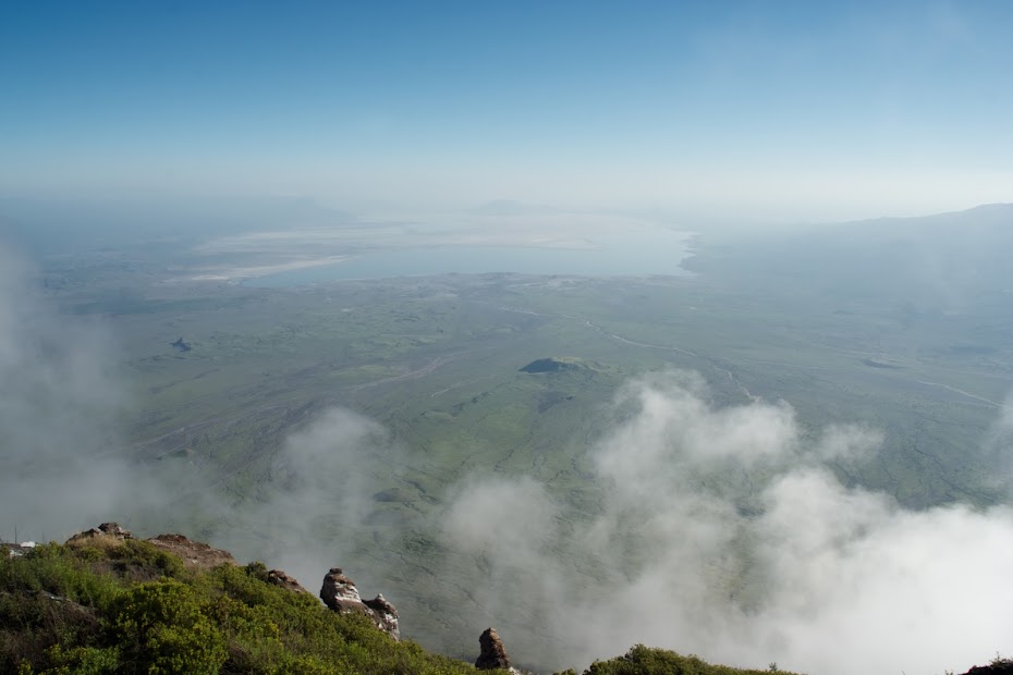
In the beninging, it’s always ugly.
Nairobi at dawn in the rainy season is just a muddy, chaotic mess. I waddled over to Karen side to collect Wry at the Shell and we split up the road in a roar of exhaust fumes (mostly from the matatus) and high spirits right until his bike pooped out. Flubbaflubbaflubba. I came back and found him perplexed, scratching his widow’s peak and already worn out from kicking. Bike genius that I am (thanks to Panic), I immediately diagnosed no spark, pulled out my Swiss Knife and cut the wire on that stupid ass switch that gave us trouble when we were doing our trial run earlier (all that prep work, a month’s worth, in previous posts) and she fired right up. Hell yes!
Above: Wry’s bike resurrected in the gloomy morning on Ngong Rd.
Our plan for the day was ambitious. We wanted to rip over to Lake Natron in Northern Tanzania as quickly and painlessly as possible in order to be ready to climb Oldoinyo Lengai that night at midnight. It’s called Africa’s toughest one day hike for a reason… the bloody thing is a physical manifestation of Kenya’ population growth rate… exponential. We’d have to cover about 150km of tar, cross TZ’s annoying but reasonable Namanga border, and then rip another 150 or so km West to the camp to rest and prepare for the climb. We best get to it.
So, we fell asleep at the bars for an hour or so and put up with the “agents” at the border, who are no more than glorified errand boys but bill themselves as invaluable – “Here, sign this. Stand here. Take you bag there”… as if there weren’t signs and officials there to guide us. Anyway, we photocopied things, stamped things and lied about things and in an hour and a half we were through. 30km more and we were at the shoulder of Longido, and the beninging of the dirt. Then we let the pebbles fly.
Above: Longido at our backs, aiming West on a wet and puddled, but otherwise rip-snorting road to Kitumbeini, half way to Lengai.
Above: Despite the occasional long stretch of muddy puddles, the road was throttle-stop fast.
Above: After a quick coke and water stop at Kitumbeini village, we set off to split the Kitumbeini mountain and Mt. Gelai, but there were plenty of washouts to contend with along the way. The water had been flowing fast, and not long ago.
Above: Wry aims toward Gelai.
Above: One or two spots required some navigating to circumnavigate big gullies and my poor piggy was getting hot under the collar. I, too, was sweating buckets. The place is usually a blast furnace, but with all the recent rain, it was now more like a sauna.
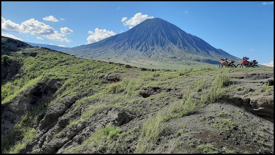
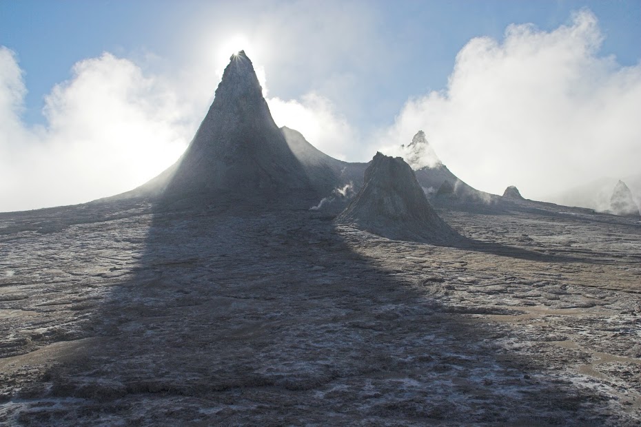
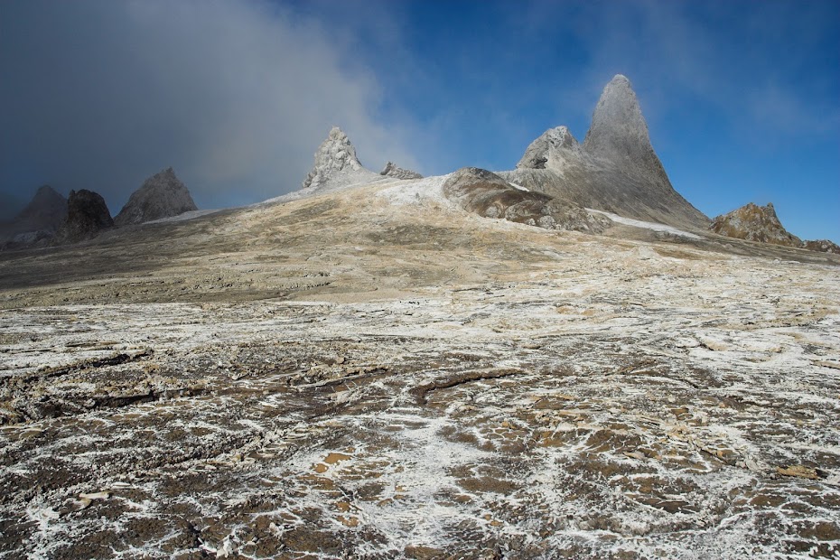
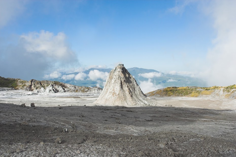
Before we knew it, we could see our mountain. Oldoinyo Lengai peaked her head above the hills, ducking in and out of billowy cloud, acting like a much taller peak than she is. She rises about a vertical kilometre from the plain, and tops out at around 10,000 ft. One of East Africa’s few active volcanoes, she’s unique in a lot of ways, but for us the challenge of the midnight hike and the chance to see a long-overdue eruption were part of the thrill. Little did we know that just being near her would be mind-blowing.
Above: The first peek at the peak. Oldoinyo Lengai tussling with the clouds in the distance.
Above: Wry ahead pauses on a crest with the first views of Lengai and her sister peak, another volcano on the edge of the Ngorongoro Conservation area.
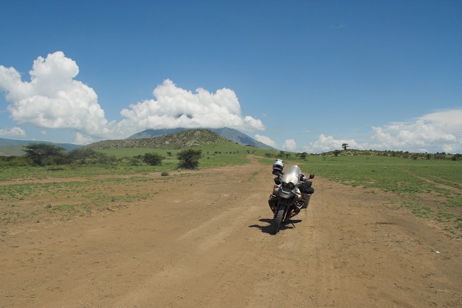
The road was in very good shape. Hard murram with plenty of grip and grit. No dust made it quick business, with each of us taking turns at the lead. Rain showers flitted along the edge of the horizon, and the peaks and the green plains spread out as far as you could see were serious eye-candy for bikers more accustomed to the dust and thorns of Kenya’s deserts. Most of the year, probably 90% of it, looks nothing like this, with feshfesh and dust devils owning the landscape. We caught it perfectly.
Above: Wry heads down to the junction with the Mto wa Mbu road (for the 'zungus out there, that would roughly translate to Mozzie Creek, which would be a shit place to live)
Above: Swamps took the road on an enjoyable little detour, and soon Lengai was totally visible.
Above: The grass… unbelievably green and carpeting huge areas. The plains are composed of millennia of ash from the volcanoes which is great for grass, but not much good for trees. We passed small clumps of zebra and antelope, and masai and their unsustainably large herds of animals as well, all looking happy with the lucky turn of events. It’s been 5 years since they’ve had such a good season.
Above: Down near the junction, a Lake had appeared. I was about ready to ford it, after I played Lord of the Flies with this nice Wildebeest Skull, but Wry said: Hey muppet, let’s just follow those tracks that go around… so we did. And it was a blast.
Riding over the plains, picking our way as we chose, I deviated from the 4x4 track to aim directly for Lengai’s flanks. My track took us around a few hills there, a washout or two, and down to the road, affording great views on all sides. Finally reconnecting with the main road to Ngare Sero, we tore off over what was rather rough and rugged terrain, paid our dues at the little hut (where we found a group of French bikers on rented little 200’s who ogled our Pigs with unabashed envy) and tore into camp with a flourish.
Above: Wry makes his way toward Lengai
Above: We traversed some of the dried volcanic ash that isn’t yet good enough for the grass.
To be continued...
