Africa - Photoreport (Prague to Cape Town)

This site may earn a commission from merchant affiliate links, including eBay, Amazon, and others.
ArthurS said:
Xpat... This is something I would like to do. What no one ever tells you is what a journey like yours would cost to do in todays terms, and also what kind of paper work is involved in getting you there, and also the amount of reasonable time it woukld take you to do such a trip. Will you please shed some light on these aspects. Cheers  :thumleft:

I'll start with the easy bits:
- ideal duration: IMO 6 months (i've done it in 12, but I was lazy and spent 2 months chilling with friends in Gaborone, and another 2 months partying in Nairobi and Kampala). You can probably do it OK in 4 if you are interested mostly in just making it through, but given the diversity of countries you go through I would go for 6.
- documents: Passport, drivers licence (probably including International one - even though I never used it), vaccination ID (again never used it but rather have one) and Carnet de Passage for the bike. And you may consider getting some visa upfront (Ethiopia and Sudan used to be difficult), but for SA people this may be no worry.

Costs:
Sorry I wouldn't know about the current costs as I've done the trip 9 years ago so the prices must have changed, and - funny as it may sound - I do not even know  how much the trip cost me. I was lucky to have enough money on hand to not have to think about it much and probably more importantly was willing to burn them all on the trip. And as I decided to stay in SA a lot of the money went into relocation, so I have no idea how much the trip cost me.

But to give you at least something to ponder: the costs will heavily depend on what you want from the trip - is it just to make it from CT to Cairo at one extreme (and that one can be done probably very cheaply, it's just about 9000 km trip, in other words about the distance of one proper trip through Bots and Nam), or is it about immersing yourself in Africa and enjoying most of what it has to offer (it costs obviously more). I was in the second movie, and tried to enjoy the trip from all aspects - seeing as much as possible (e.g. Gorillas, Kilimanjaro, diving courses in Dahab), going wherever my fancy will take me (I did Uganda, Congo and Rwanda, without originally planning any of that), sleeping comfortably (which in my case meant usually single room in Backpackers, I camped only if there was no other alternative), enjoying nightlife in Nairobi or Kampala, etc. Enjoy as much off road as possible with corresponding tyre costs (I went through 5 sets of rear TKCs on the trip)

If I would be doing calc for the trip now (which I'm not prone to before any trip) I would first calc the basics - petrol, accommodation and food and then add whatever extra I will need. So assuming 6 months trip and about 20 000 km ( that is what most people do, I did double) my calculation at current SA petrol prices and exchange rates are:
- Petrol costs, assuming 6l/100km consumption: 16 800 ZAR
- Accommodation, assuming about 30 USD per night (can be significantly lower if you camp): 62000 ZAR
- Food, assuming about 30 USD per day (can be lower if you cook or higher if you eat in expensive restaurants): 62 000 ZAR.

So the basis should be covered by about 140 000 ZAR. And then you need to add extras: tyres (depending whether you want to enjoy off road properly or are willing to use one of those 50/50 concoctions that may even take you whole way), activities: Kilimanjaro (about 1000 USD), Gorillas (probably another about 1000 USD - used to be 350 when I was there), diving, safaris, etc., entertainment.
 
Xpat much appreciated ! Time to start gathering the entertainment vouchers 
Code:
in RSA  :thumleft:
 
Awesome advice xpat, thanks. I have similiar budget for my trip and up to 6months to U.K in 2017
 
Optimusprime said:
Awesome advice xpat, thanks. I have similiar budget for my trip and up to 6months to U.K in 2017
Sub.  :sip:
Very cool RR :thumleft:
 
Sub!  :thumleft: :thumleft: Find it interesting that you decided to stay in SA. No family, friends back home?
 
This is one Epic trip!!!
Please update its like reading a novel :biggrin: :biggrin:
 
Superb. I have not seen one of these reports in years. There is hope for WD yet.
 
Ethiopia

When talking about the trip I get asked often what was was my favourite country. It’s almost impossible to answer as African countries are just too diverse to compare - especially along the north - south axis when you cross most of the Africa’s religious, racial and ethnic boundaries. My usual answer is Uganda, as I really enjoyed the vibe there.

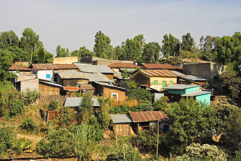
Ethiopia, on the other hand, was definitely the most interesting. Based mostly on the 80’s Band Aid publicity circus I have expected country of emaciated suffering people solemnly surrendered to whatever fate has in store for them. Sure, the Ethiopians I’ve found were mostly skinny, but very far from solemn surrenderers. They were feisty, combative with that in yer face ‘what the **** you looking at’attitude - definitely the most aggressive people I’ve encountered in Africa (except for us whiteys, but we are kind of more civilised about it). I have seen few times scenes of people fisting or throwing stones at each other on the streets - and surprisingly often the aggressors were women attacking men. Why is that so is anybody’s guess. My 2 cents worth guess is:

  • Ancient christians surrounded by muslims and animists: As the only christian country/kingdom in Africa for more than millenium (more about that in the next paragraph), the Ethiopians and their ancestors were faced for centuries with the pressure from muslims and animists. The survival pressures must have fostered a fighting spirit.
  • Ethiopia was never colonised: Ethiopia is one of only two countries in Africa (the other one is Liberia I think), that wasn’t colonised by Europeans - except for short occupation by Mussolini, before they kicked him out with British help. So they do not suffer from the deference to whiteys, still persisting in most of the sub-saharan Africa.
  • Western guilt & development help: thanks to Band Aid thingy, Ethiopia has been since the 80’s a darling and showcase of the western do-gooders. They seemed to have some successes - for example I’ve heard somewhere that child mortality has decreased greatly. While the aid helped to save lives, it probably also fostered dependency and feelings of entitlement and created unrealistic expectations. As the economy did not seem to keep the pace with the population growth the people were getting progressively worse - more people sharing the same pie, which dashed the hopes of ordinary Ethiopians for better future. And dashed hope is always the mother of all frustrations.


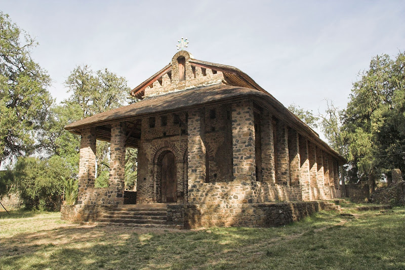
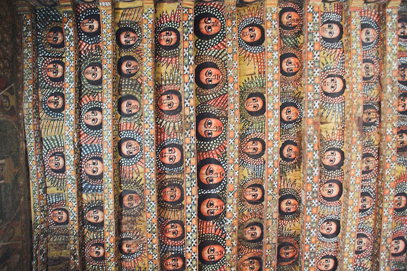
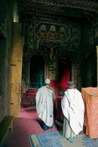
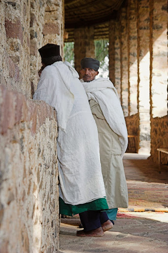
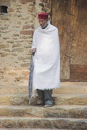
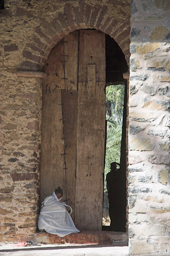
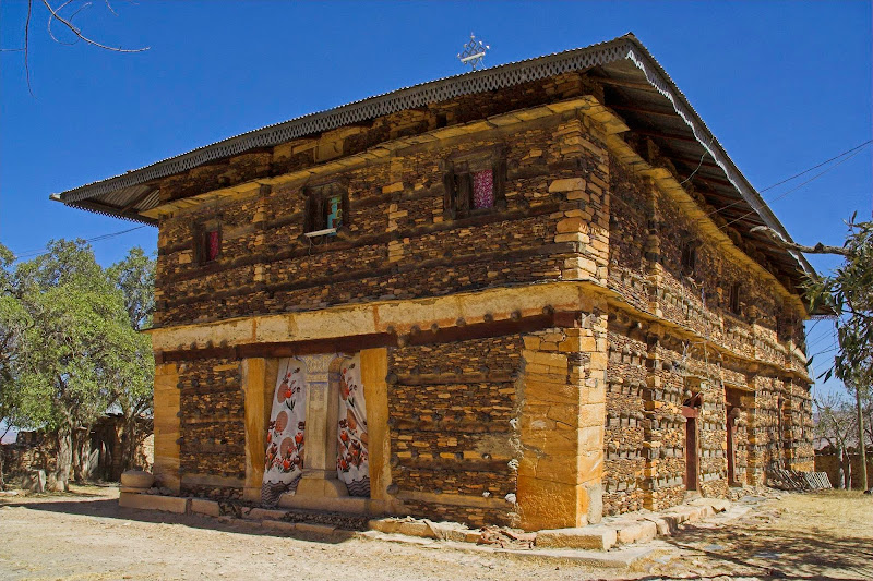
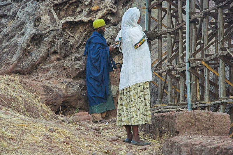
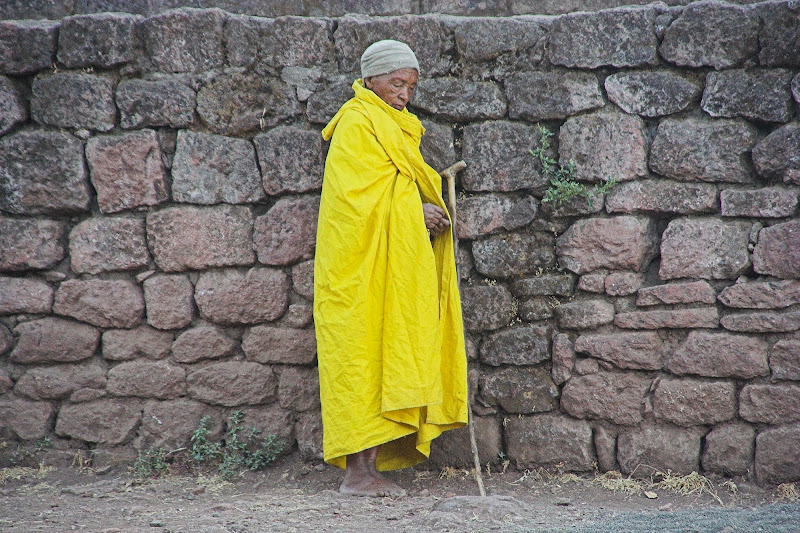
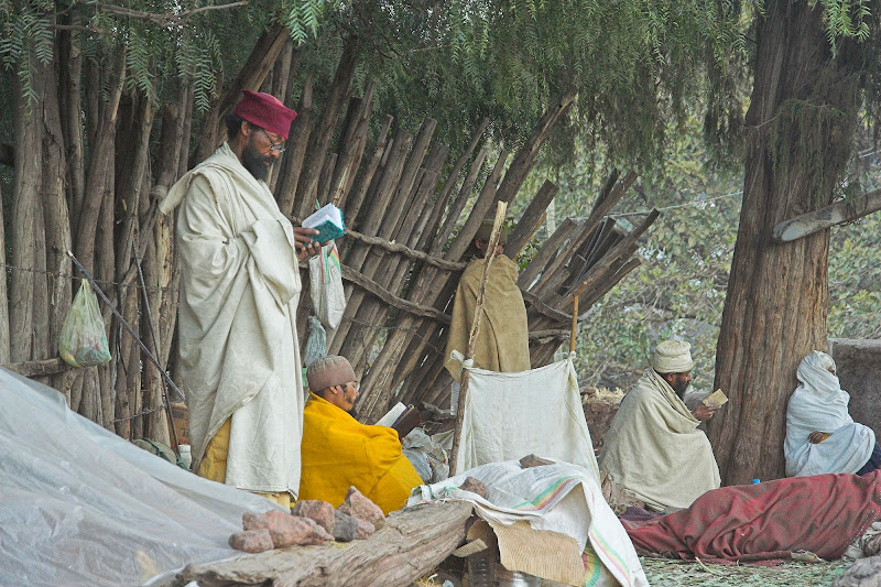
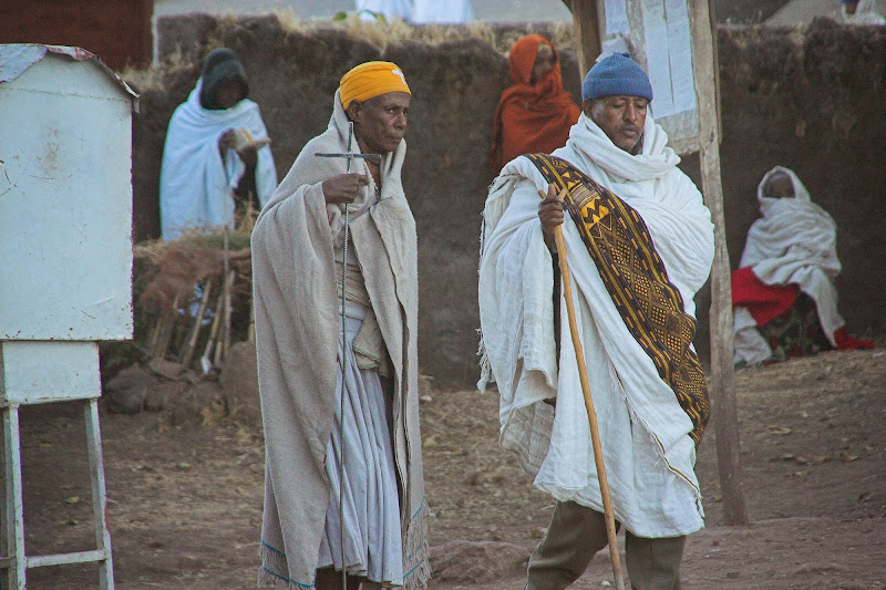
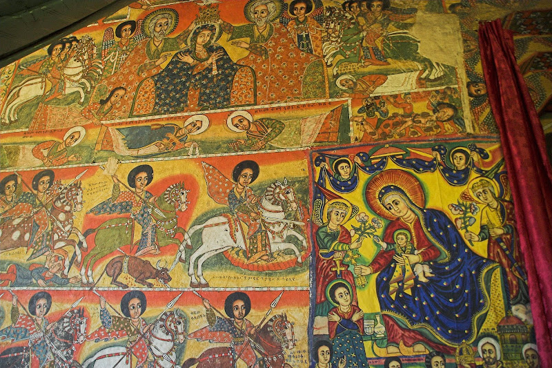
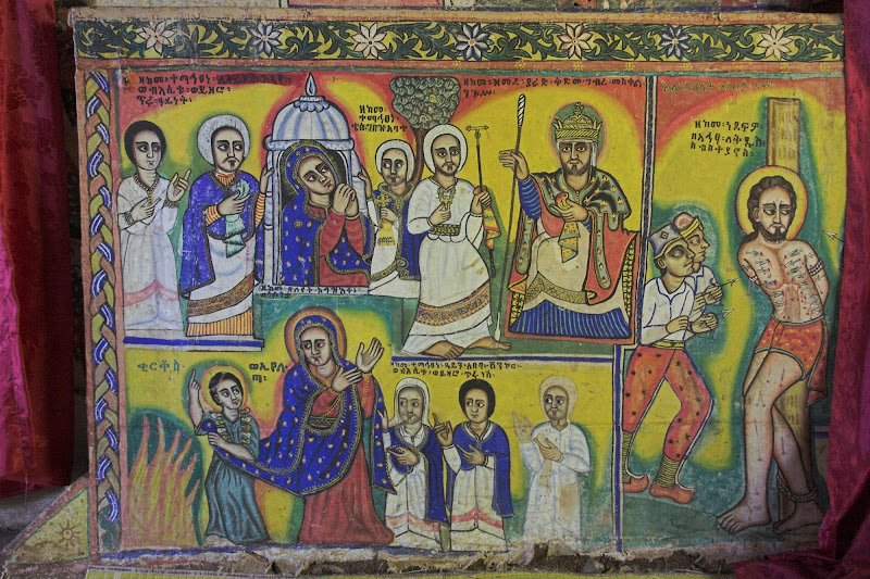
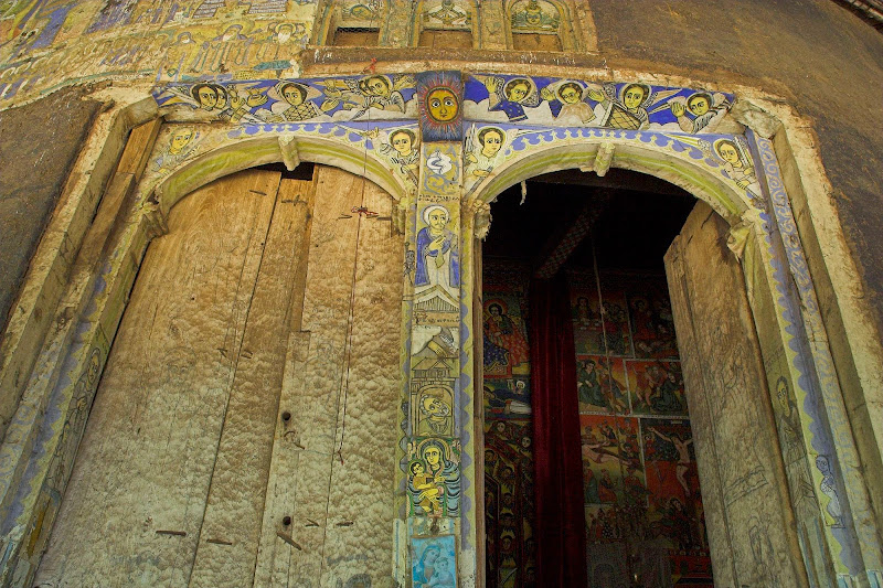
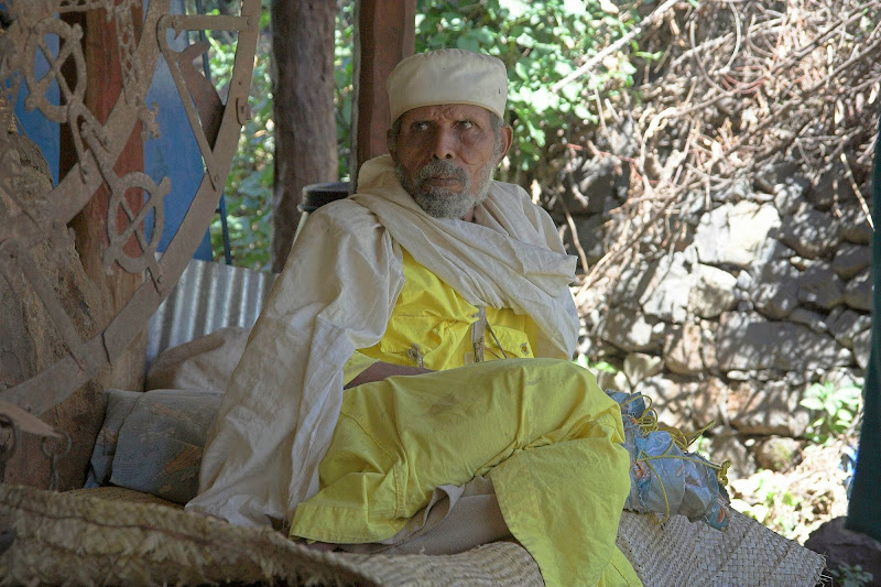
Another big eye opener to this uneducated ***** was the deep rooted ancient Christianity in Ethiopia. I thought that Christianity in Africa was new and foreign import brought in by the colonizing Europeans. But it turns out that the ancient Ethiopia was only the second country in the world (second to Armenia) to adopt Christianity  sometimes in the 4th century (AD obviously) while most of the mainland Europe was still worshipping squirrels, rocks and stuff. They have their own branch of the christianity - Ethiopian Orthodox Church, artefacts of which to me looked strikingly similar to the Russian Orthodox Church - the architecture of the churches, the iconographic murals inside as well as the priest attire and the masses. I was quite dumbfounded as it sometimes felt like eastern Europe rather than middle of Africa. And of course the official language is aramaic - supposedly the language spoken by Jesus and the original Ark of Covenant is rumoured to be hidden somewhere in Aksum in the north of Ethiopia.

And just for the laugh, Ethiopians use their own - Coptic based - calendar. So the year has 13 months (12 months of exactly 30 days and 1 month of 6-7 day), it is either 7 or 8 years behind our calendar (no idea why - its not constant for some reason) and the new years is either on Sept 11 or Sept 12 (again, no idea). This became very obvious to us (me and the gang from the Lake Nasser), as we spent the Christmas and New Year there and none of those days seemed to mean anything at all to the Ethiopians.

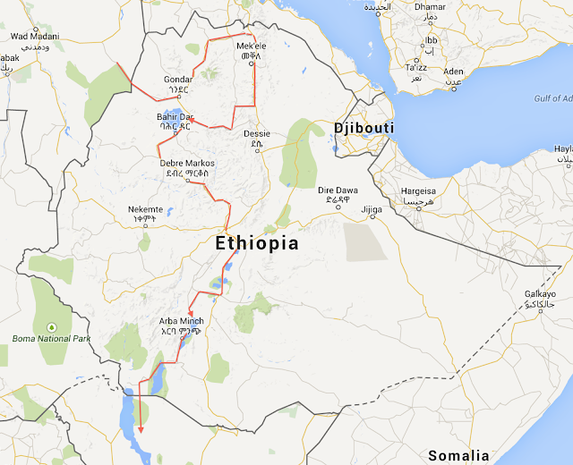
Map of the route I took through Ethiopia:

Etiopia.png


I have arrived to the border in the little ******** called Metema at about lunch time. I seemed to be the only guy crossing for a long time and the formalities went surprisingly smoothly. The immigration office on the Ethiopian side was a small dark rondavel with roof of banana leaves brandishing proudly framed mission and vision statements on the wall. Obviously some consultants must have been here on one of those charity gigs they do nowadays to insert an illusion of meaning into their otherwise meaningless lives (I know, I’ve been one of them). Surprisingly there was no customs office anywhere near by so I just set-off without getting my Carnet stamped (I knew I must have all the exit stamps for all countries I’m stamped in, but assumed that if I do not get stamped in, I may get away without getting stamped out - one less hassle).

Immediately, the contrast between Sudan and Ethiopia could not have been more stark. Compared to the solemn pious communal nice mannered atmosphere in Sudan, Metema looked like the aramaic version of the Wild West frontier town. There were dirty scrappy looking people - many of them scantily clothed women - and animals milling around, some of them clearly looking for a fight. Few of the people were already (it was lunchtime) drunk senseless and spread on the ground along the main dirt street. Most of the huts along the street were either bars, or (I’m guessing here) brothels - sight I haven’t seen since Bulgaria and clear sign that I’m out of muslim world and back in the familiar christian territory.

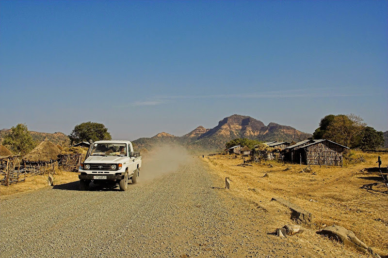
After about 10 km there was a boom across the road next to an office - yep, the customs. It was lunchtime, so I had to wait an hour before the officers came back and stamped me into Ethiopia. Once done I set-off immediately as I had still about 100 km to cover to Gonder for the overnighter. The scenery has also changed dramatically at the border. While Sudan in the south was mostly flat dry African bush, on the Ethiopian side the road started almost immediately to wind up into the green mountains announcing the high plateau (about 2000 m high) covering most of the north-west Ethiopia - quite similar to the eastern Lesotho.

051205%2520125A-06.jpg


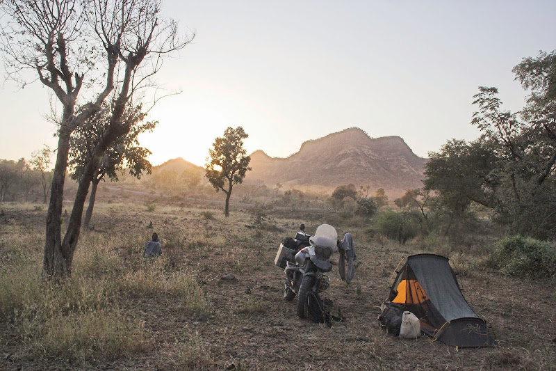
The road was hard packed dirt with sharp embedded rocks (again as you know it from Lesotho) after few initial cautious km I picked up the speed and was soon cruising at about 80 kmh - quite fast for the winding rocky mountain road. Inevitably I have punctured the sidewall of my front tyre in about 20 km. I’ve plugged it while being spectated by about 50 locals (wherever you stop in Ethiopia - no matter how remote, within 5 minutes there is crowd of begging kids keeping you at your toes) and moved on. Another 10 - 15 km later the plug shot out of the hole, the tyre deflated and slipped of the rim. I was doing probably 70 - 80 kmh and surprisingly managed to stop without a faceplant. I had one 19’ tube with me just for this case and I took a while to get it in. by the time I was done the sun was setting (the days are much shorter as you get closer to the equator), so I just pulled off the road into close-by bush and set-up camp for overnighter. Somehow managed to remain undetected and therefore not hassled until a herdsman found me in the morning.

Morning in the bush camp with my private stalker on post:

051206%2520125A-04.jpg

051206%2520125A-05.jpg

051206%2520125A-06.jpg


051206%2520125A-14.jpg

051206%2520125A-15.jpg


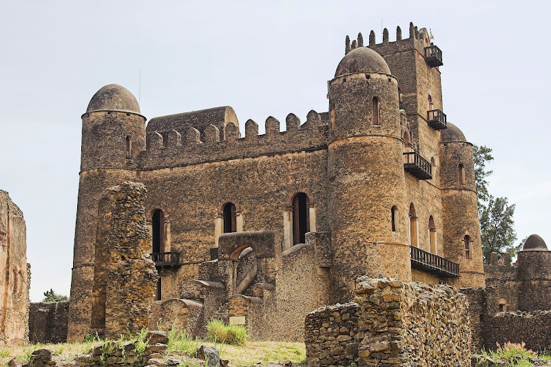
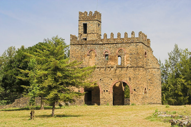
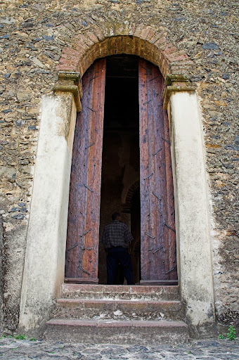
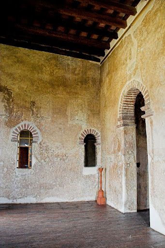
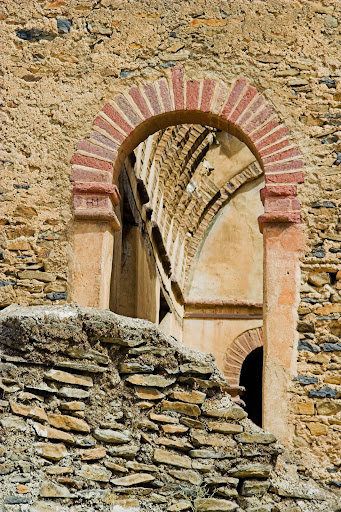
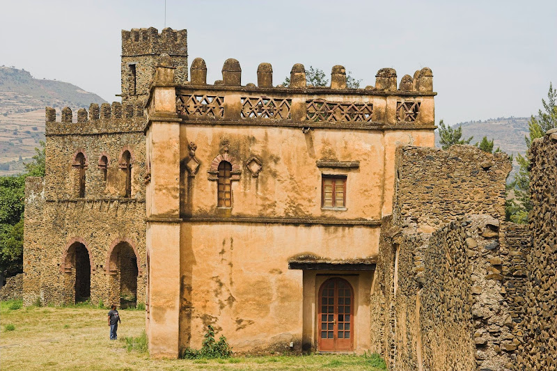
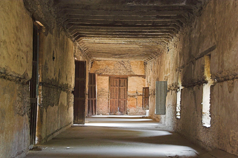
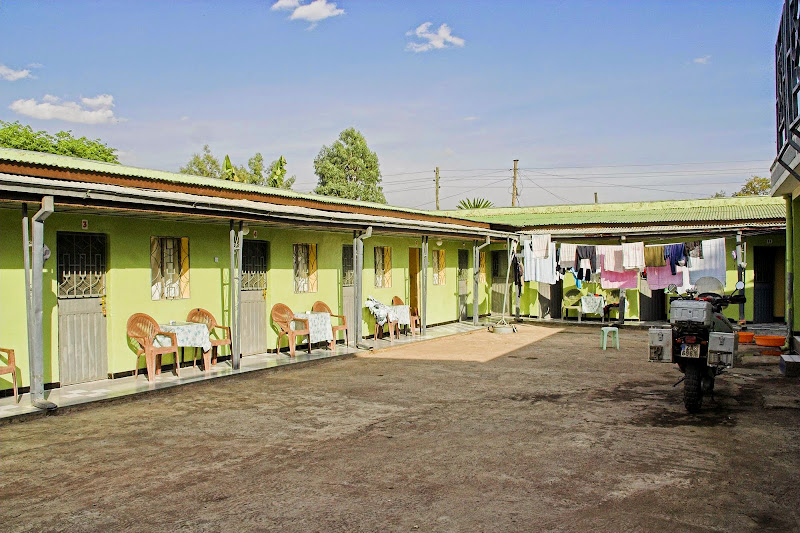
Next day I’ve made uneventfully the remaining 50 km or so to Gonder. Gonder used to be a capital of the Ethiopian Empire long time ago and holds remains of several royal castles, that look strikingly as something out of a Scottish countryside - Wikipedia even says that it has been called ‘Camelot of Africa’. The most prominent are remains of Fassil Ghebi castle complex (see pictures below). Once in Gonder, I’ve found nice guesthouse (comparatively speaking) and settled in

Fassil Ghebi castle complex:

051207%2520125A-16.jpg

051207%2520125A-18.jpg

051207%2520126-02.jpg
   
051207%2520126-04.jpg

051207%2520126-12.jpg

051207%2520126-10.jpg


051207%2520126-29.jpg

Nice guesthouse (comparatively speaking) I've found in Gonder:

051207%2520127-08.jpg


Apart from sightseeing I’ve spent 2 days in Gonder eating, drinking and doing bike fixes. I went regularly to get real cooked food and the beer in the local restaurant. First day I enjoyed on my own. Day 2, Loek arrived and we spent a nice evening of getting shitfaced in the local bars with few other travellers - Loek again proved to be a star and manhandled me through the dark Gonder safely back to my bed.

Regarding the food, Ethiopian traditional dish is injera - a pancake with red mince of some kind. I had it only once - it actually does not taste that bad, but people eat it with their bare hands with the red mince all over their finger and faces and even though I’m normally not that squeamish, that sight somehow was enough to keep me off it. But there was almost always a choice of some fried chicken/beef/goat meat or spaghetti bolognaise available - big improvement on my canned tuna & laughing cow cheese diet I’ve been on in Sudan. And of course beer to flash it all down.

For the bike fixes I went through the local hardware stores looking for a tube for my rear wheel - the internal tyre patch I have put in Khartoum was leaking slowly and I had to stop regularly to pump it up. The closest I’ve found was an 18 inch tube for one of the 50 - 100 cc bikes they use here. I took it and and put it in back at the guesthouse. It lasted me thousand or two kms almost all the way to Arba Minch in southern Ethiopia where it finally exploded at about 100 kmh - oh, fun and games of being young (kind of), stupid and indestructible.

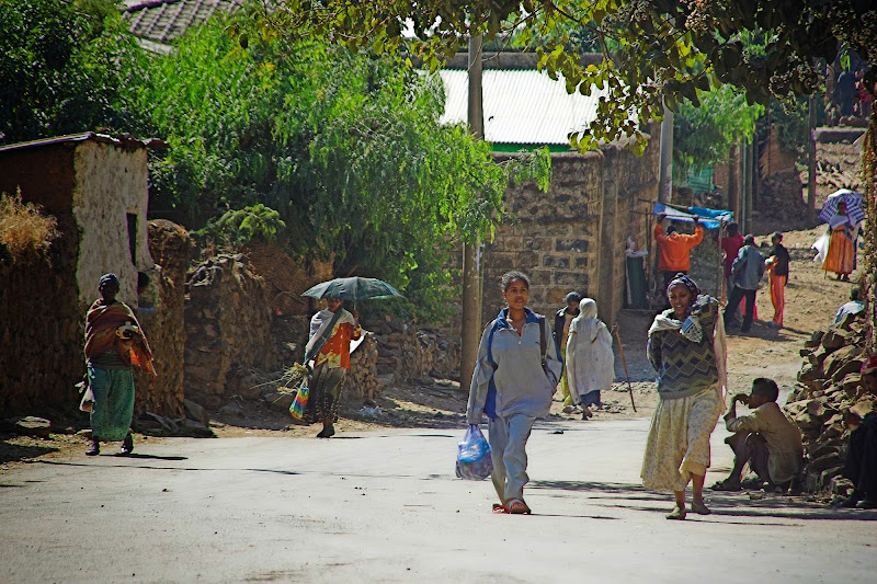
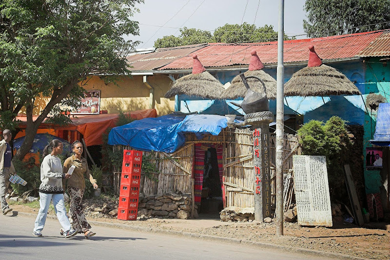
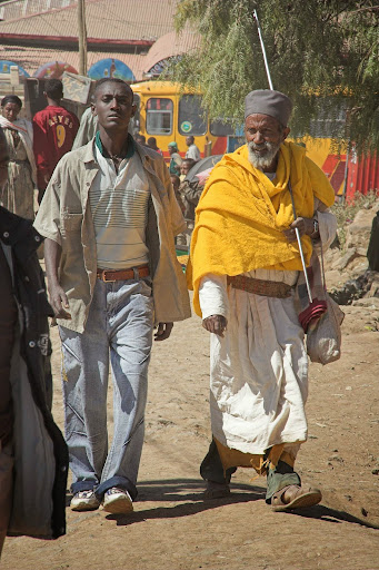
Some sights in Gonder streets:

051207%2520125A-03.jpg

Bars everywhere...:

051207%2520125A-06.jpg

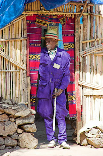
Local gentleman ready to hit the streets:

051207%2520125A-08.jpg
   
051207%2520125A-02.jpg

051207%2520125A-09.jpg

051207%2520127-07.jpg
   
051207%2520126-73.jpg

051207%2520127-01.jpg


There is also a church in Gonder famous for its murals - and sure enough I don't remember its name:

051207%2520126-51.jpg

051207%2520126-57.jpg

051207%2520126-63.jpg

051207%2520126-70.jpg
   
051207%2520126-71.jpg

051207%2520126-50.jpg
   
051207%2520126-53.jpg


Next instalment - Northern Ethiopia
 
Thank you for support.

@ Silvrav: Yep, I have parents, brother and wide family in Europe, and lots of mates. But I see them quite frequently either on Skype, in Europe, or when they come for safari. And seeing them physically once a year or two makes you appreciate them probably more than when you bump into each other all the time. And Africa rules hands down any day over the overpopulated, over-regulated, entitlement ridden, nanny Europe.
 
As has been said earlier, this is magnificent. Magnificent pictures and writing. :hello2: :hello2: :hello2: :hello2:

Thank you for this labour of love. I hope you are enjoying reliving the experience. It certain made an impression on your (and us)!

Get well son from your operation and keep the rubber side down.

Xpat said:
And Africa rules hands down any day over the overpopulated, over-regulated, entitlement ridden, nanny Europe.
+1000 Unfortunately I am moving to Spain, and all the rules and crap sicken me. Cant even get my bikes in there :(

I also share your snob feelings for the tourist traps! :thumleft:
 
I worked in Ethiopia for almost 2 years. The countryside in the highlands is stunning & would be fantastic DS bike country.

Getting equipment into Ethiopia is a VERY painful process & takes a LONG time if you're trying to get stuff in to work there.

One of our clients had a VSAT system stuck in Ethiopia customs for 3 years.

We worked in the Ogaden, close to the Somali border & later on in the Danakil depression, the hottest place on earth. 160 m below sea level.

Generally I found the Ethiopians friendly, except the Somalis in the Ogaden. 
 
Ethiopia - part 2

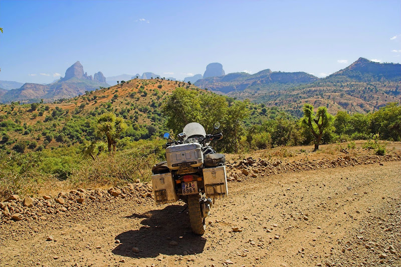
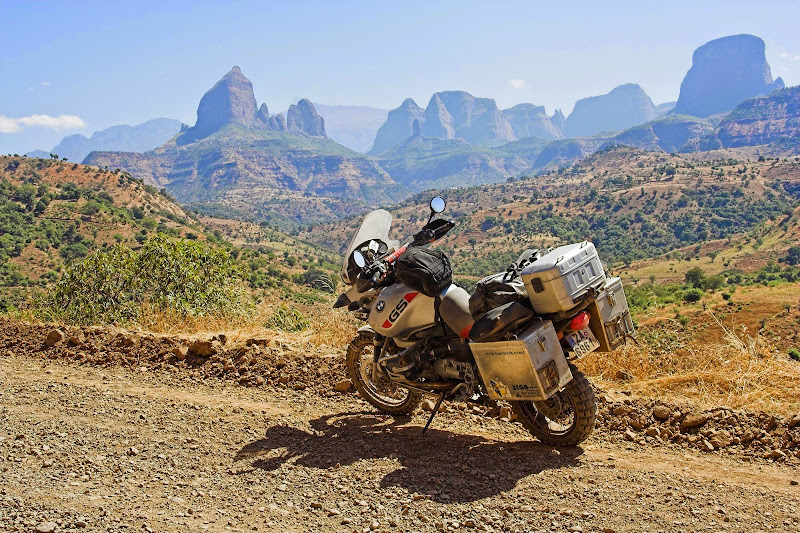
Most overlanders head from Gonder south towards Lake Tana and Addis Ababa as its the shortest route to Kenya. I wanted to see the less visited north - particularly Simien mountains NP and Aksum famous for its obelisks and rumoured safekeeping of the original Ark of Covenant. So after our night out, I bid farewell to Loek who was keen to get asap to Addis for a rendezvous with his girlfriend, and packed for next day departure north. In the guesthouse I’ve hooked up with two canadian brothers and an english dude (unfortunately I’ve forgotten their names) who were also getting ready for a hike through Simiens and we agreed to go together. To get there they hired a Landcruiser with driver and next morning we set-off in  convoy (Cruiser and GS) to Debark about 100 km north, which is the starting for the treks in Simiens.

First sight of Simiens:

051208%2520127-02.jpg


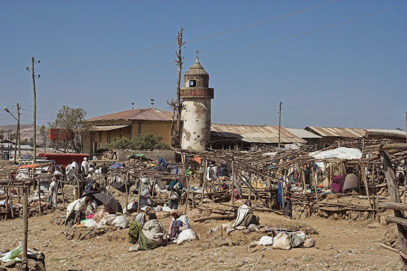
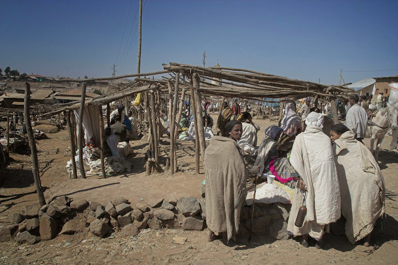
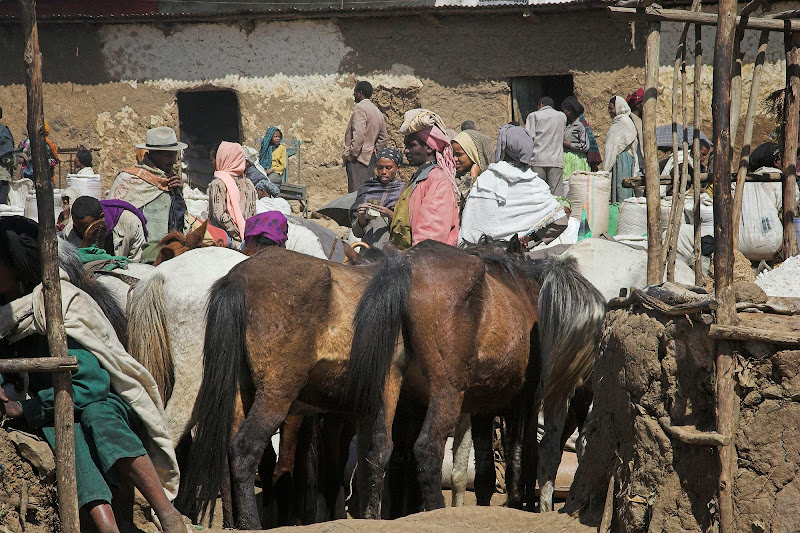
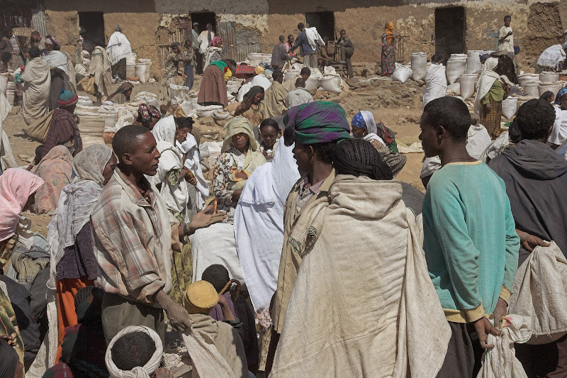
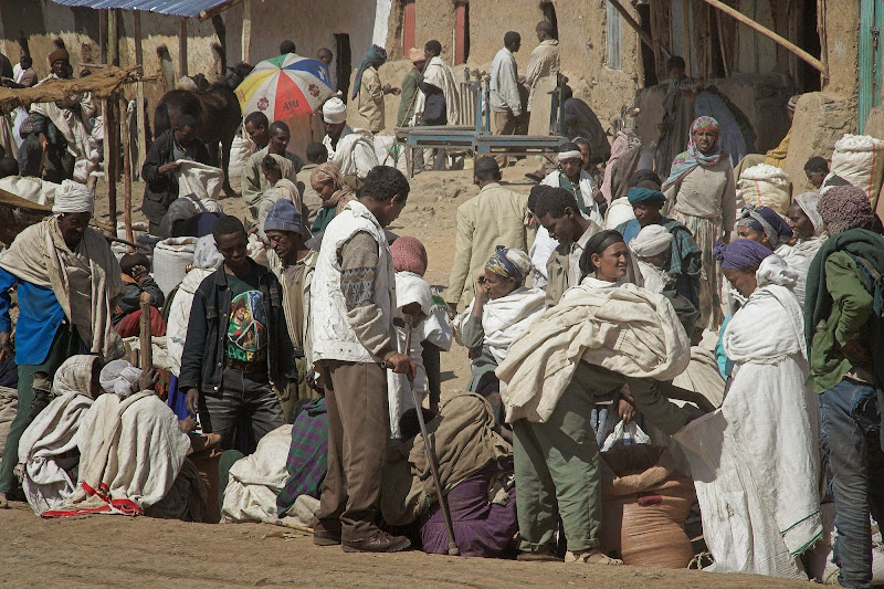
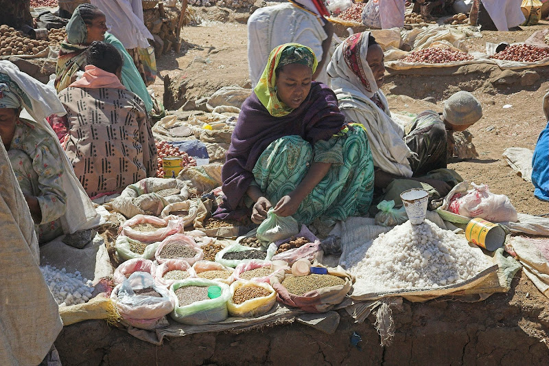
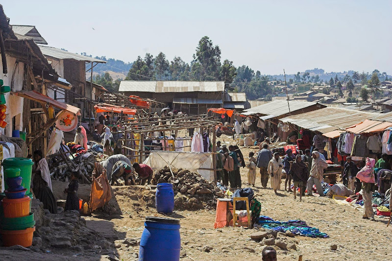
In Debark I’ve left the bike in a guesthouse on the main street and packed only the necessities for the three day trek (including two nights camping). To buy  food canadians and I headed to the local market - that turned out to be something straight from the middle ages. Like so:

051208%2520127-20.jpg

051208%2520127-17.jpg

051208%2520127-07.jpg

051208%2520127-14.jpg

051208%2520127-16.jpg

051208%2520127-21.jpg

051208%2520127-26.jpg

051208%2520127-27.jpg
   
051208%2520127-28.jpg

051208%2520127-22.jpg


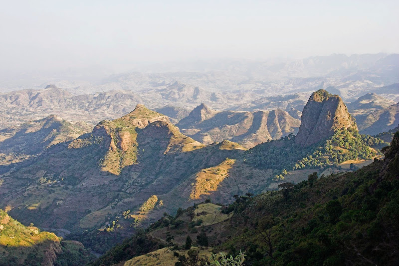
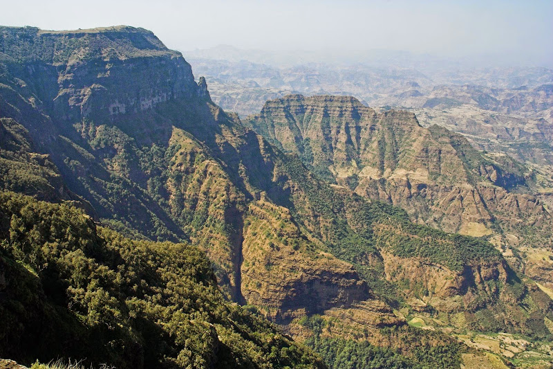
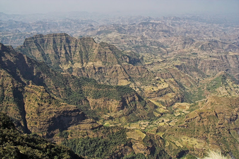
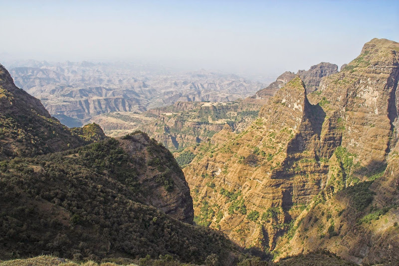
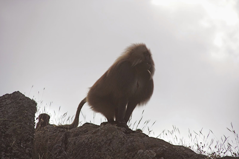
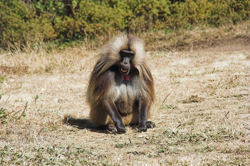
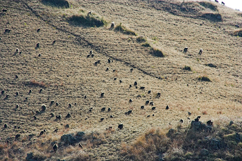
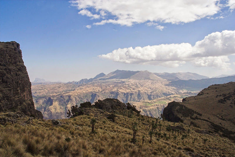
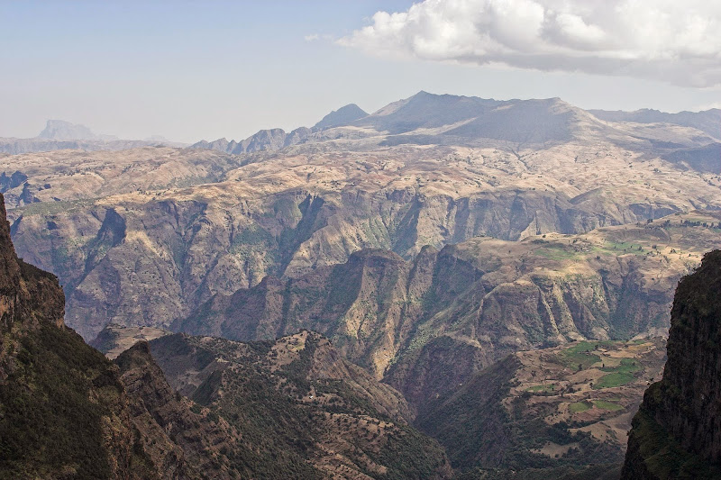
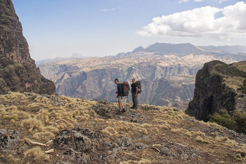
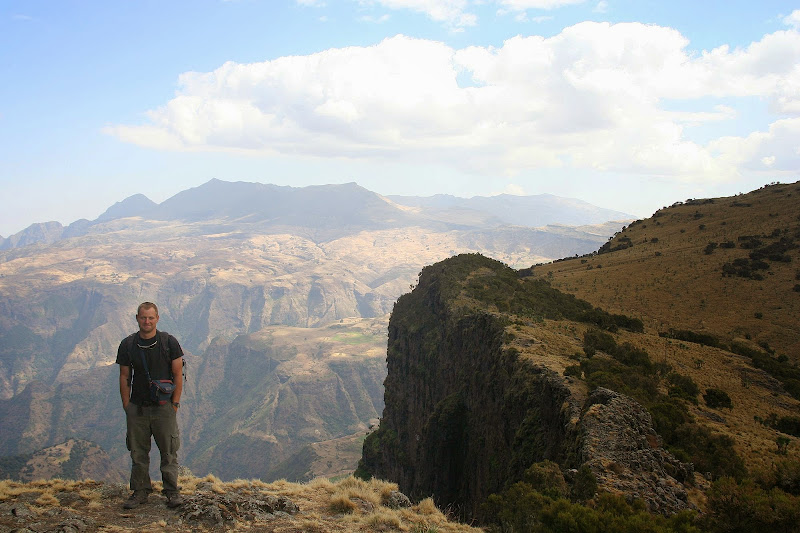
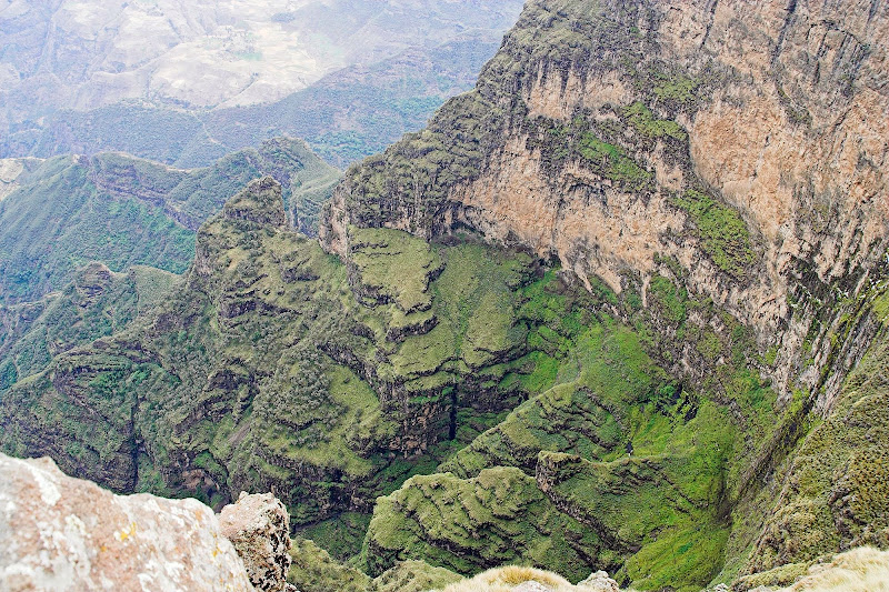
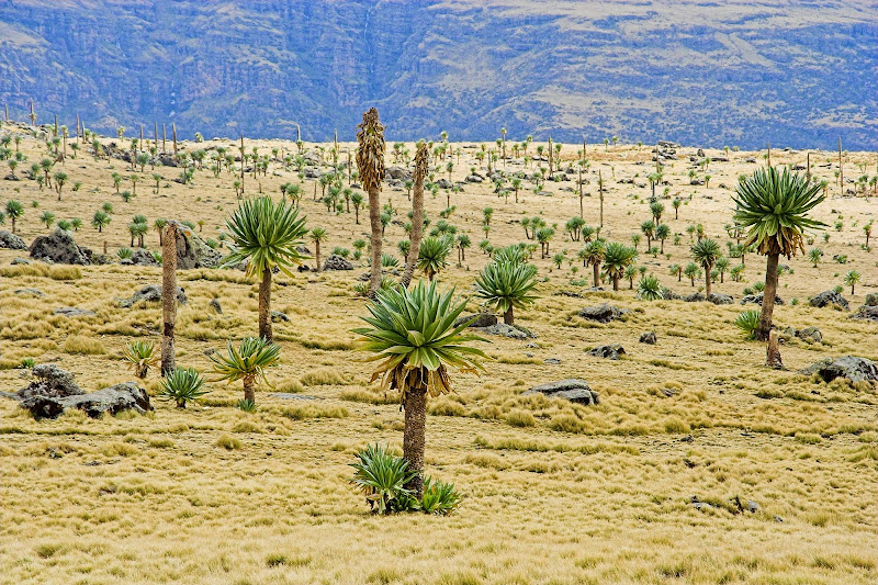
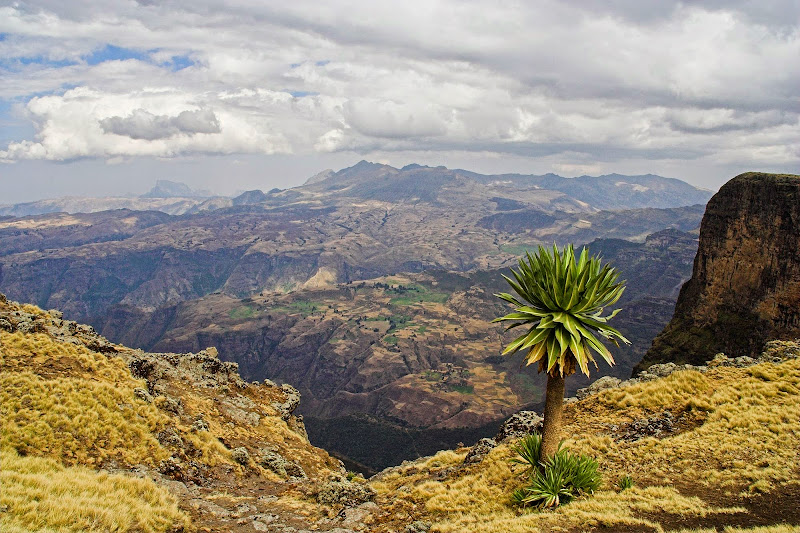
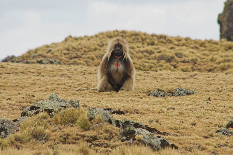
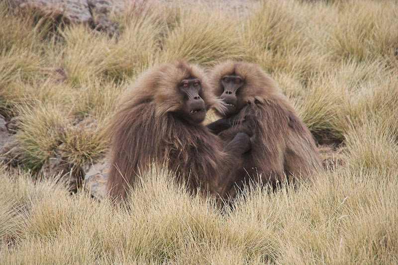
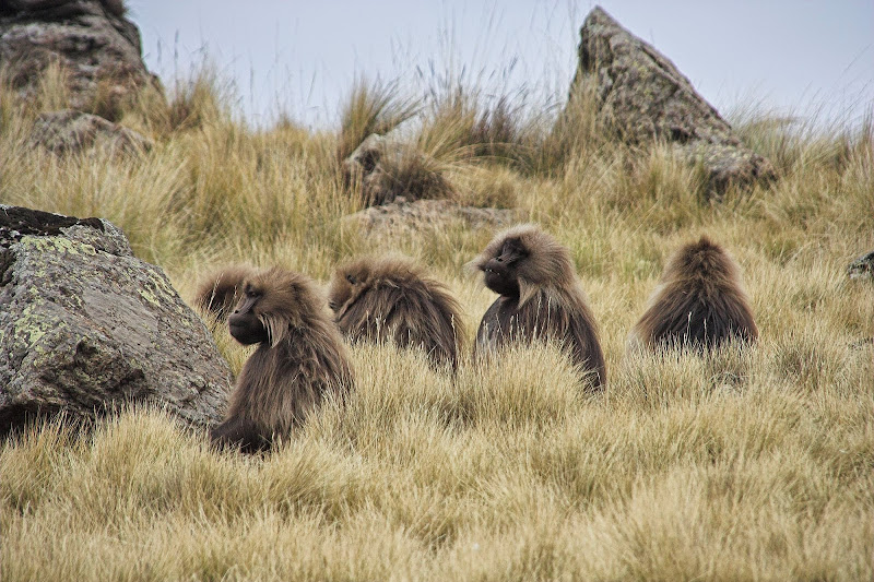
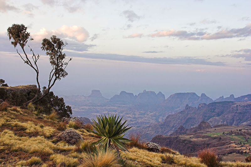
Once fully provisioned we jumped at about midday to the Cruiser that took us another 20 keys or so to the gate of the Simiens NP. Simiens - a World Heritage Site - is a plateau with steep escarpments rising about 1500 meters above the surrounding highlands. It also includes monumental rugged peaks, the highest of which is Ras Dashen at 4550 meters. They are similar to Drakensberg, just higher and more impressive. They are home to the unique gelada baboons unique by their long fur, live in large groups of hundreds of animals and are the only primates that primarily graze on grass. During the night they sleep on the steep cliffs to escape from the wolves and leopards.

At the gate I’ve bumped into Rupert and the kindergarten, who just returned from the trek. He had a jolly good laugh when he found out that to save weight I have left the tent behind and packed only mosquito net and told me that it’s freezing in the night. Well the Englishman was kind enough to let me lodge in his tent so I did not end up dying of hypothermia few hundred km above equator.

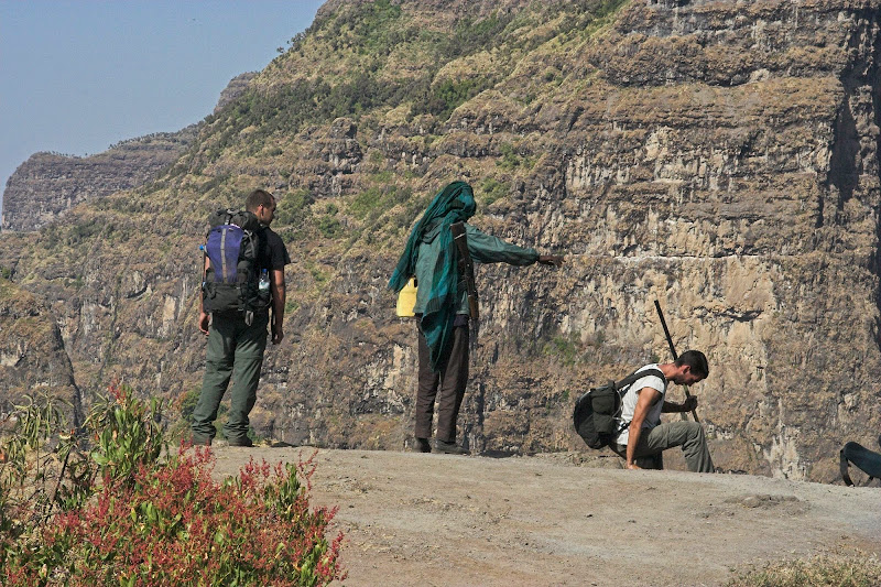
We have paid our admission fees that included one local guy with a pony to carry the luggage (didn’t know there will be one when I was packing) and another local village ***** named Adam with AK47 - for some reason that I haven’t figure out the armed escort was non-negotiable. We didn’t hire an english speaking guide mostly because Canadians and Englishman - who were backpacking across Africa - were on tight budget and didn’t want to pay for one arguing that Adam will know the way anyway. That turned out to be a major source of entertainment in the next two days.

By the time we were done with preparations it was late afternoon and we hurried up to get to the first camp-site before nightfall. We more or less run the whole way and managed to squeeze what is normally 8 hour trek into about 3,5 hours (yes, a bit silly I know), so by the time we arrived to the camp we were all exhausted and suffering from symptoms of the altitude sickness. The whole plateau is at about 3500 - 4200 meters and the day 1 camp was at about 3700m - not too high, but combined with the exertion it provided for a headache and in one case a bit of vomiting.

051208%2520127-37.jpg

051208%2520127-36.jpg

Younger Canadian, AK47, Englishman:

051208%2520127-48.jpg

051208%2520127-59.jpg

Gelada baboons:

051208%2520127-60.jpg

051208%2520127-32.jpg

051208%2520127-61.jpg

051208%2520127-33.jpg

051208%2520127-65.jpg

051208%2520127-66.jpg

051209%2520128-02.jpg


Canadians who were enthusiast cooks kindly prepared dinner for us - which as it turned included the pony guy and Adam. We were assured at the gate that they will have their own food which they did not (this is common story anywhere in Africa - except Kilimanjaro - so if you going for trek/expedition make provisions for the locals). I wasn’t too bothered, but Canadians felt that we were being ripped off so insisted that the locals will at least wash the dishes in return. Which they did. So next morning we found ourselves without drinking water as they spent basically all our bottled water we brought for 3 days to spread the tomato sauce more evenly on the dishes. Luckily I had water purification tablets on me so we restocked from the near by stream, which we foolishly assumed they would use for dishes.

After dinner pretty soon we hit the sleeping bags - primarily because we did not manage to persuade Adam that it’s not a good idea to hug his AK between the legs in front of the fire with the AKs curvy magazine sticking out to the flames. Not keen to see his crotch explode in a red mist and become potentially collateral damage, we half crawled back to tents and nursed our headaches to sleep.

Next day we set-off for an 8 hour hike along the very impressive escarpment. Feeling a bit tender from the day before we decided to miss one of the viewpoints and take shortcut across the plain. To explain it to Adam - cum - guide, we have drawn a triangle in the dirt with the name of the place we were at, the viewpoint A name (we were to miss) and the next viewpoint B we wanted to head for directly. We have crossed out the viewpoint A, and highlighted the shortcut on the triangle - Adam watched for minute or two, then nodded and set-off to viewpoint A. The rest of us set-off to viewpoint B, which confused hell out of Adam, but he did not use his trump card - did not **** the AK, and eventually followed wondering what is happening. I’ve had my share of inter-cultural misunderstandings and I am usually sooner or later able to see the point from the other guys perspective - here I just wasn’t, as far as I’m concerned Adam and I were different species.

051209%2520128-08.jpg

051209%2520128-17.jpg

Canadians:

051209%2520128-19.jpg

Yours truly:

051209%2520128-21.jpg

051209%2520128-22.jpg

051209%2520128-28.jpg

051209%2520128-30.jpg

The Englishman:

051209%2520128-38.jpg

051209%2520128-40.jpg

051209%2520128-43.jpg

051209%2520128-44.jpg

051209%2520128-52.jpg

Nice ladies:

051209%2520128-54.jpg

051209%2520128-55.jpg

051210%2520128-01.jpg

051209%2520128-60.jpg

051210%2520128-02.jpg


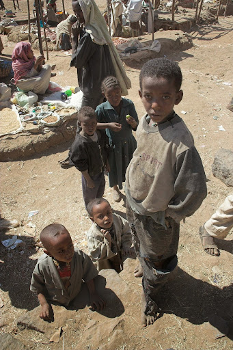
Next camp night was again freezing and ridden with altitude sickness, but with no further glitches - we’ve learned our lessons. The last third day was just a 20 km walk back to the gate which was uneventful, except that Canadians - avid motivated sportsmen of American type set off at the competitive speed that us European rachitic intellectuals were not inclined to follow. This thrown Adam off as he could not provide machine gun support at the same time to the two separated groups. His solution was to try to coerce us weaklings to ******* hurry up, but again he did not use his trump card and eventually resigned and rushed ahead to support the Canadians. We did miss him somewhat, as the local begging kids (urged by their parents to go after us - westerners are considered fair game there) turned out to be major nuisance and we had to resort to a demonstrative stone throwing to keep them at bay at times. Anyway we all made it back to the gate OK, said teary eyed goodbye to Adam, jumped into the Cruiser and headed back to Debark. In Debark I said my farewells and de-bussed at the guesthouse for sleep over, while the rest were on their way back to Gonder.
 
Ethiopia - part 3

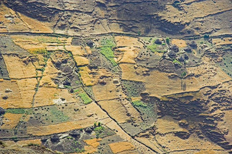
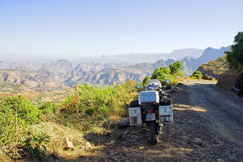
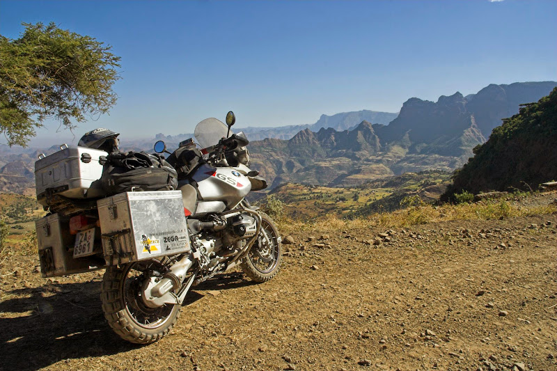
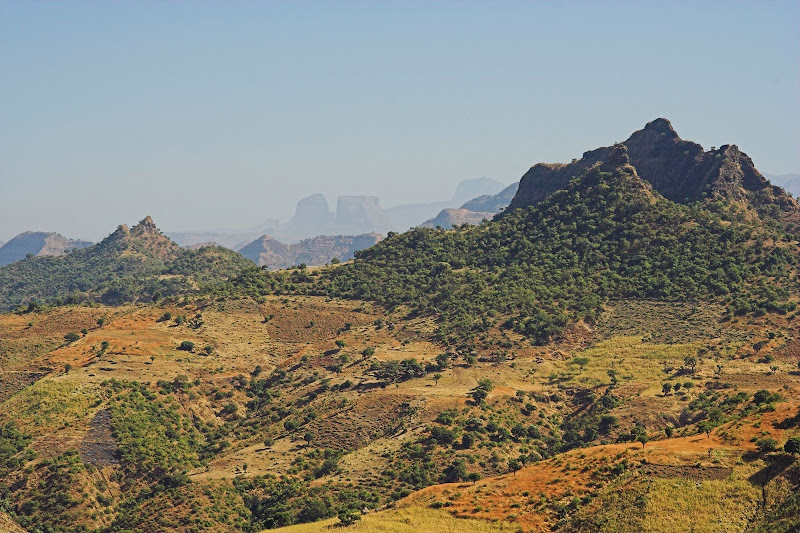
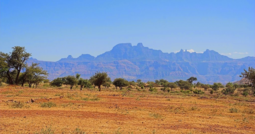
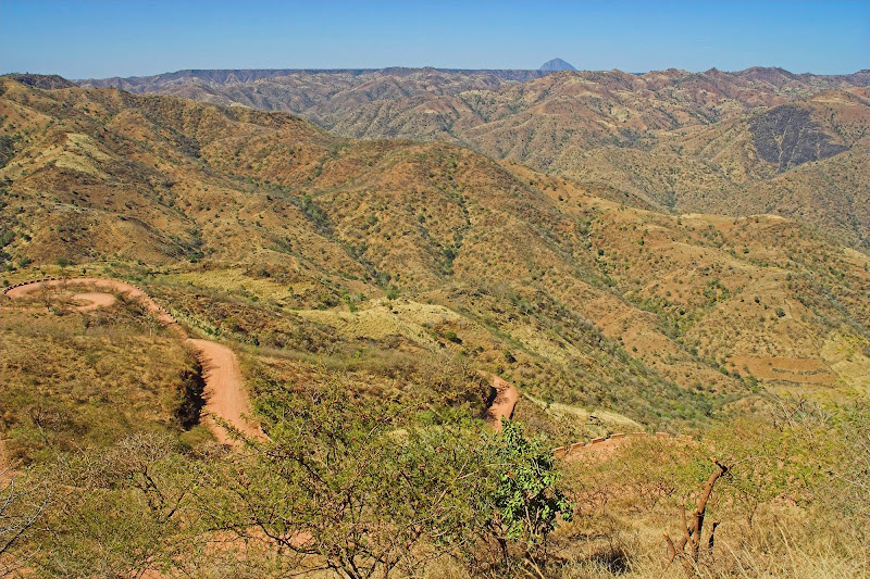
Next day I set-off north towards Aksum. The winding road (dirt - all roads in the north were dirt) was very scenic, circumventing Simiens which later changed into almost moon like landscape (well at least my idea of it).

051211%2520128-01.jpg

051211%2520128-06.jpg

051211%2520128-09.jpg

051211%2520128-11.jpg

051211%2520128-13.jpg

051211%2520128-16.jpg

Ethiopian emergency response team:

051211%2520128-18.jpg

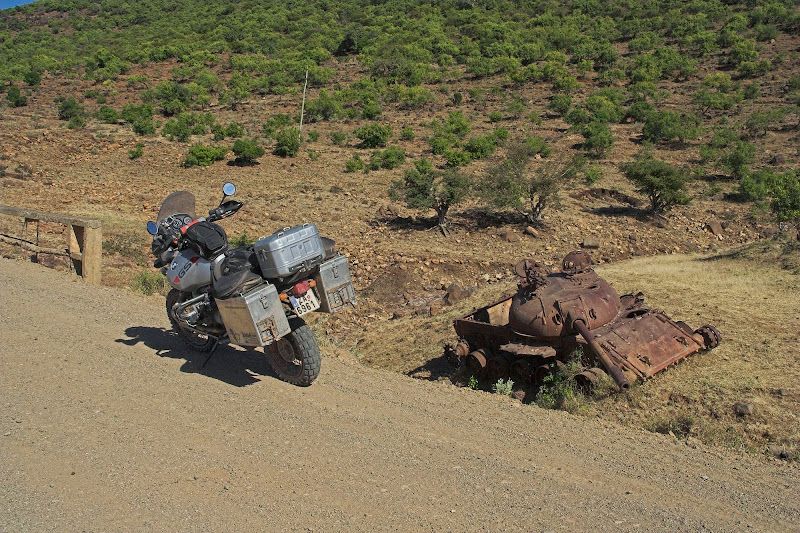
Scrap metal along the way:

051211%2520129-11.jpg

051211%2520129-06.jpg

051211%2520129-05.jpg


I have arrived to Aksum in the afternoon without any accident. That is quite an achievement as the people and animals in the north all live on or nearby that one road are not used to the motorised transport. So whenever they hear one - which is for some reason invariably only about 10 meters from them, they start acting completely erratically and unpredictably running across the road instead off the road, etc. I normally do not moan about road manners in the third world (basically the biggest has the right of way), as in some way I find them much simpler and straight-forward than the complicated rules in the west. But northern Ethiopia was something.
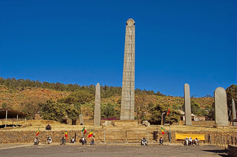
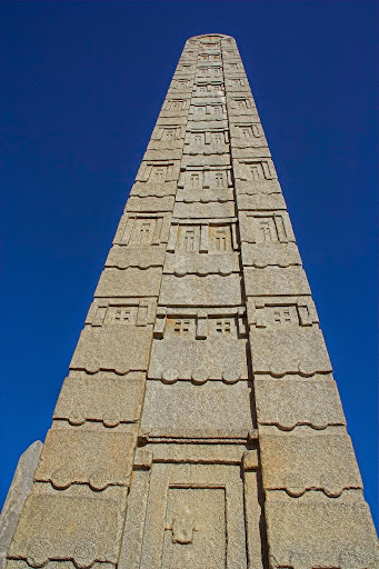
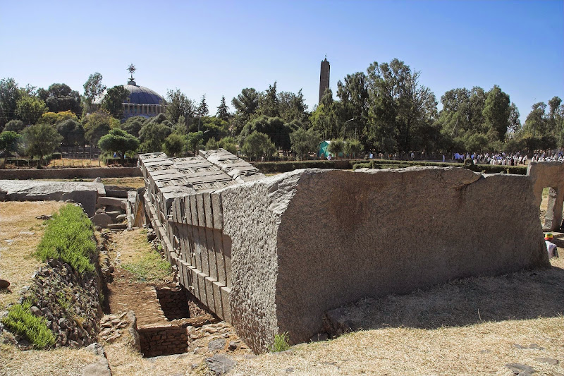
Aksum is the original capital of the Kingdom of Aksum (400 BC into the 10th century) and one of the oldest continuously inhabited places in Africa. It was this kingdom that converted to Christianity in 4th century. The main attractions are obelisks (oldest dating 5000 - 2000 BC) - oversize tombstones for rules as far as I know - similar to pyramids, the biggest of which 27 meters tall 1700 years old Obelisk of Aksum was stolen by Mussolini in 1937, who erected it in Rome. After lots of haggling it was finally returned back in 2005 - i.e. only 8 months before I arrived, good timing.

The Ethiopian Orthodox Church also claims that the biblical Ark of Covenant with inscribed Ten Commandments is housed in the Church of Our Lady Mary of Zion here. What I personally found most interesting was the avid road cyclists clad in colorful lycra training hard on the main street in Aksum the only few km stretch of tar in the northern Ethiopia. Compared to the surrounding poverty it was quite incongruous sight but I’ve was told that the sport has fanatical following here. Somebody told me story that during one of the many wars with nearby Eritrea (part of Ethiopia that split violently few decades ago) an Ethiopian armoured column heading for fight had to wait outside of Aksum till the time trials run at the time were finished.

All right, that’s all the trivia I can muster, here are some pics:

Obelisk of Aksum (I think):

051212%2520129-03.jpg

051212%2520129-07.jpg

Another one that didn't make it and the hurch of Our Lady Mary of Zion in the background:

051212%2520129-29.jpg

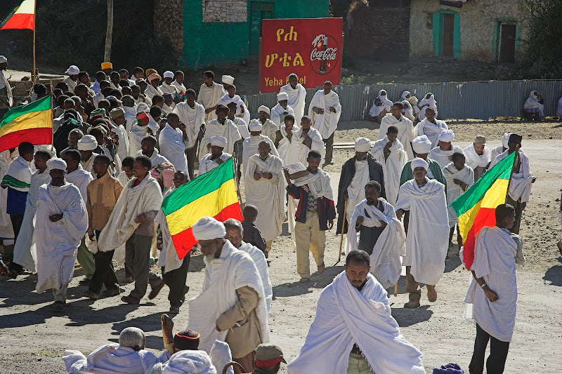
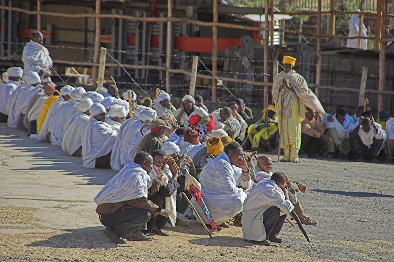
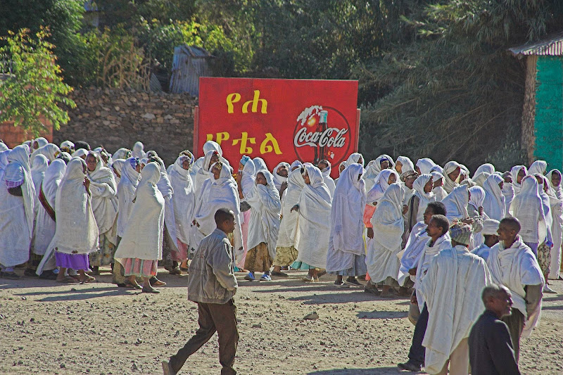
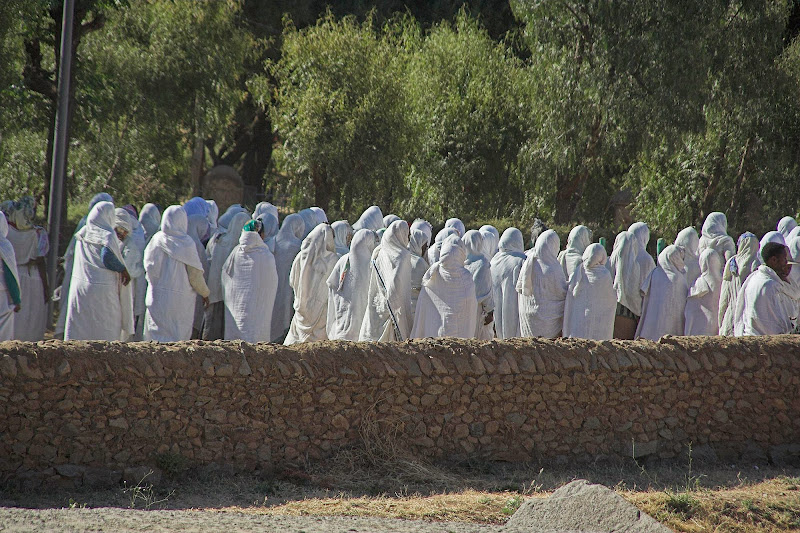
Some kind of religious gathering:

051212%2520129-13.jpg

051212%2520129-17.jpg

051212%2520129-18.jpg

051212%2520129-22.jpg

051212%2520129-25.jpg

051212%2520129-28.jpg


Aksum and surrounds:

051212%2520129-41.jpg

051212%2520129-46.jpg

051212%2520129-43.jpg

051212%2520129-48.jpg

051212%2520129-39.jpg

051212%2520129-49.jpg


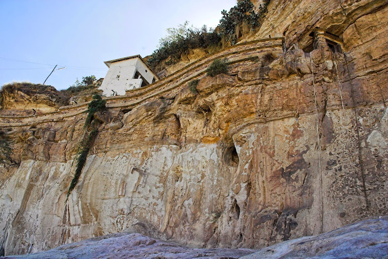
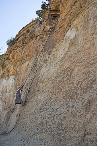
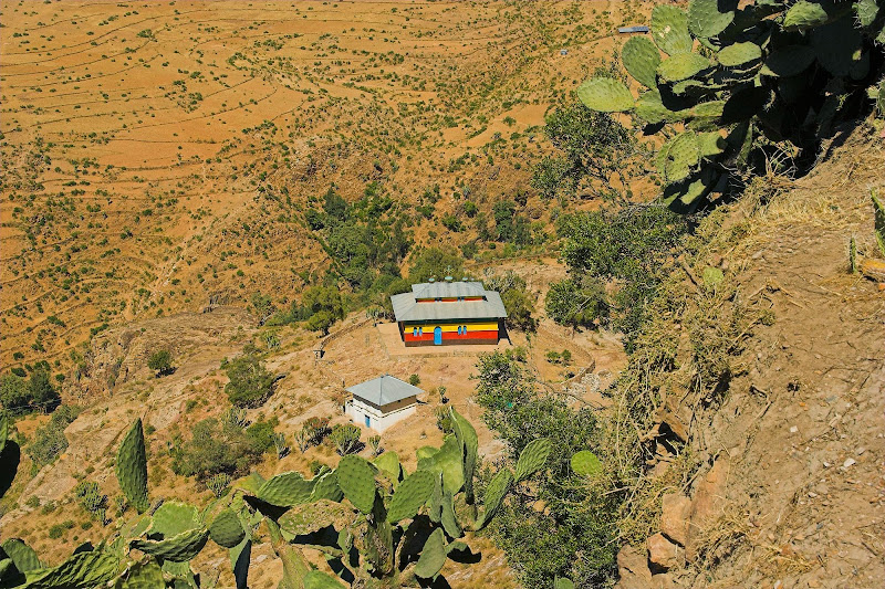
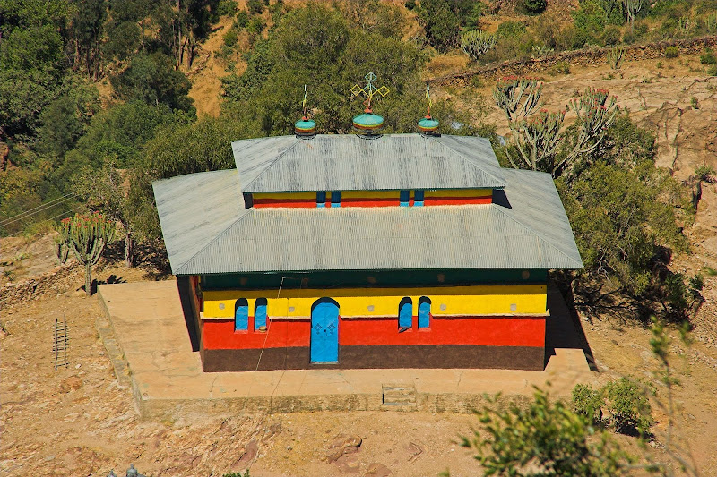
While in Aksum I also went to visit the Debre Damo monastery 100 km east - with pillion Robin, an Englishman who I’ve met in the hotel. It’s a 6th century monastery housed on the flat topped and accessible only via 17 meters long rope climb. Like so:

051213%2520129-01.jpg

051213%2520129-09.jpg

Ladies are not allowed, sorry. Which as far as I’m concerned is a good thing. When I came to the rope - which is basically thick rolled cow-hide, I’ve first waited for two monks by sight about 70 years old (which means in reality probably 35) to climb the rope up with ease and grace in about 15 seconds, followed then by Robin. When it was my turn I strictly refused to get tied up in the second rope to be pulled by three helpers to help me get up. I somehow forgot that it has been more than 20 years of chair farting since I’ve done any form of rock or rope climbing (which I used to be decent in) and considered the help to be beneath me. Robin eventually talked me into getting tied up in the second rope for safety. Which turned up right as after about three meters I was completely ****** (I forgot that you should use legs in climbing) and the remaining 14 meters was pulled up by the three 40 kg helpers more or less like a sack of potatoes. And no woman should be allowed to see that!

Pics from monastery:

051213%2520129-16.jpg

051213%2520131-06.jpg

051213%2520129-15.jpg

051213%2520129-17.jpg

DM051213%2520130-02.jpg

DM051213%2520130-03.jpg

DM051213%2520130-04.jpg

DM051213%2520130-05.jpg

DM051213%2520130-08.jpg

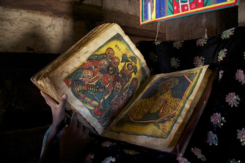
600 year old (I think) bible ascribed on cow hide:

DM051213%2520130-09.jpg

Views from the top:

051213%2520131-11.jpg

051213%2520131-10.jpg

051213%2520131-13.jpg

The helpers:

051213%2520131-16.jpg
 
All I can say is WOW. Awe inspiring beauty, thank you for sharing. :thumleft:
 
Xpat you are only in Ethiopia now.... where is the rest my friend??
I am anxiously waiting :sip: :sip: :sip: :sip:
 
Ethiopia - part 3

From Aksum I’ve headed towards next Ethiopian historical highlight - Lalibela. The main road to get there was kind of a hook - heading east to Adigrat and from there south on the main tar road (first tar for me in Ethiopia outside of Gonder and Aksum) through Mekele to Weldiya and there turn on dirt east again for about 100 km and turn north again for another 80 or so - the whole route of more than 500 km or so of switchbacks through Ethiopian highlands. But on the map I had (the GPS Garmin Worldmap completely useless - I have used GPS just to record my track for backtracking if needed) I’ve noticed a shortcut through the mountains heading south from Adwa about 25 km east of Aksum (it’s even indicated in the map of the route through Ethiopia I’ve posted here. Keen to explore the route less travelled I took the shortcut, however within about 10 km or so after Adwa it turned into goat track and I had to eventually turn back once I came to huge washouts unpassable on the GS (or any other bike actually).

An image from the shortcut when it was still good:

051215%2520131-01.jpg


So I took the main road and made it to Mekele, which is the capital of the northern region and home place of the then ruling Ethiopian clique. It was also a headquarter for the UN peacekeeping forces doing whatever they do to prevent one of the regularly occurring punch ups with Eritrea further north. Thanks to that Mekele was surprisingly modern town (for ethiopian standards) with few high glass buildings raising from the surrounding shantytowns, including hotel from one of the global chains (don’t remember which). The Simiens race caught up with me there and I felt sick, so I splashed out for the two nights in the hotel. Which I’ve spent indulging myself in the hotel restaurant and sleeping in the modern air conditioned room. This was the only hotel/guesthouse in Ethiopia, where I haven’t woken up in the morning bitten by bed bugs.

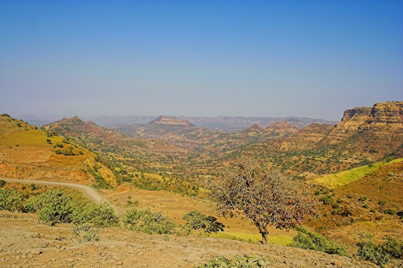
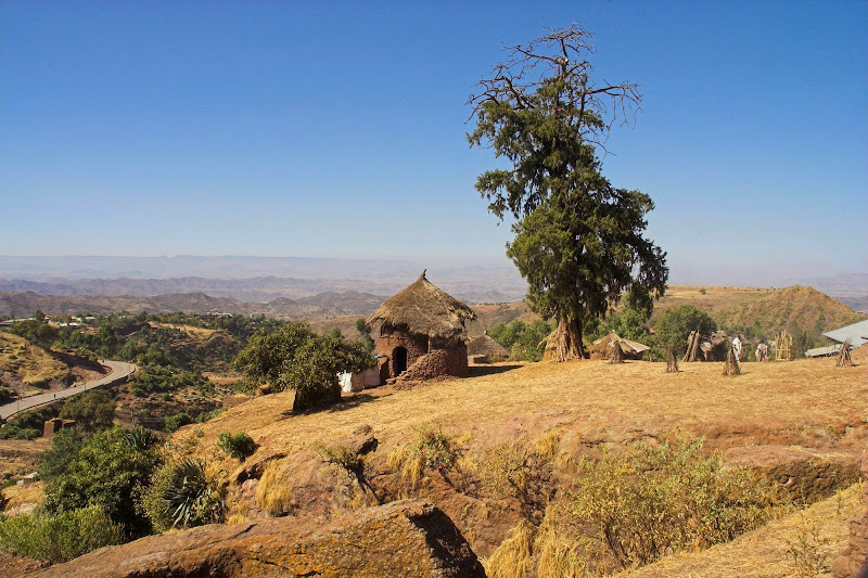
Once reinvigorated I’ve set-off south again on a good winding tar following the eastern outline of the Ethiopian highlands - west were the hot muslim plains and Danakil depression (the hottest and lowest place on the planet, which I was blissfully unaware of - will have to go back there) close to Somali borders . About 80 km north of Weldiya I’ve came across a dirt turnoff right, going west in the direction of Lalibela about 40 km away according to the useless Garmin Worldmap. It was already afternoon and I still had about 160 km to go on the original route, so I took the dirt shortcut. Well as those of you who have been to Lesotho know, the 40 km as the crow flies in mountains usually translates to much more than that. In this case it turned out to be about 100 km of the sharp rocky switchbacks (think Sani pass in the old days after rain - not the highway it is today) raising sharply up and down over the highlands. I have arrived knackered to Lalibela eventually after dark.

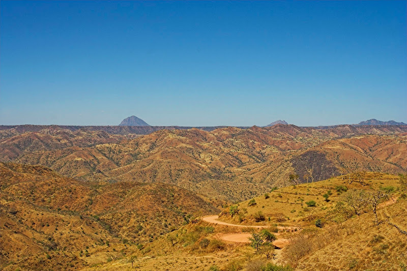
Some pics from the track to Lalibela:

051215%2520131-03.jpg

051215%2520131-05.jpg

051217%2520130-03.jpg

051217%2520130-07.jpg

051217%2520130-11.jpg

M051217%2520130-12.jpg


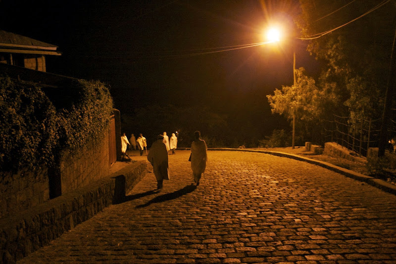
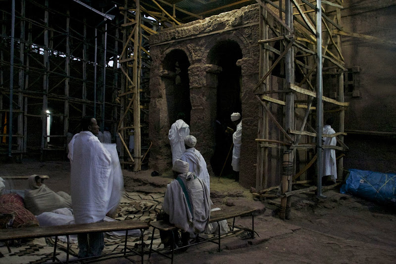
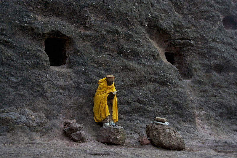
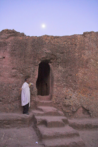
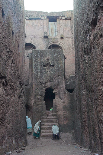
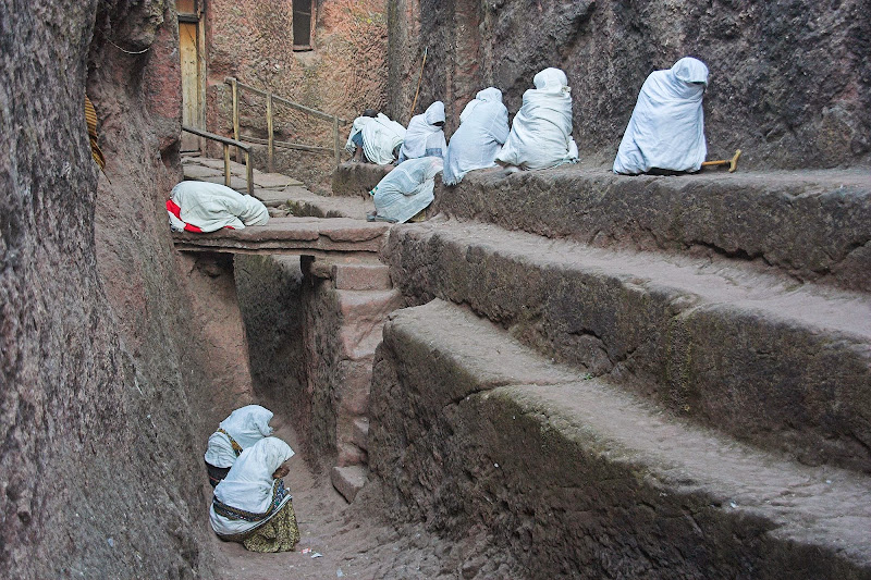
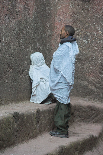
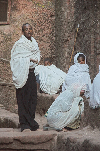
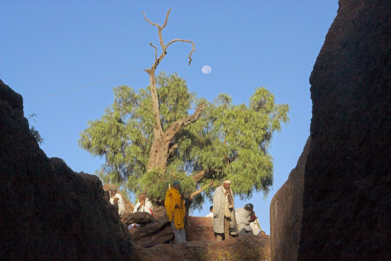
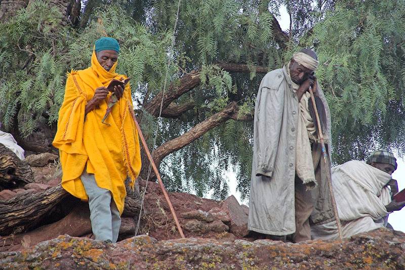
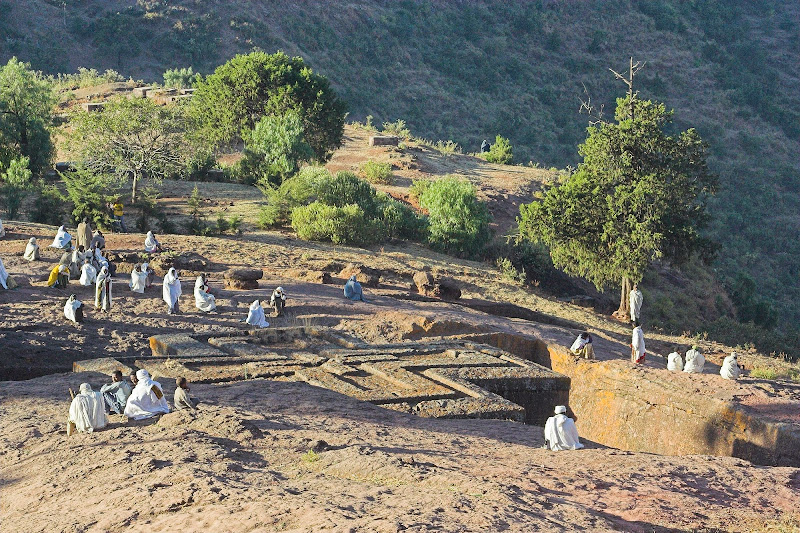
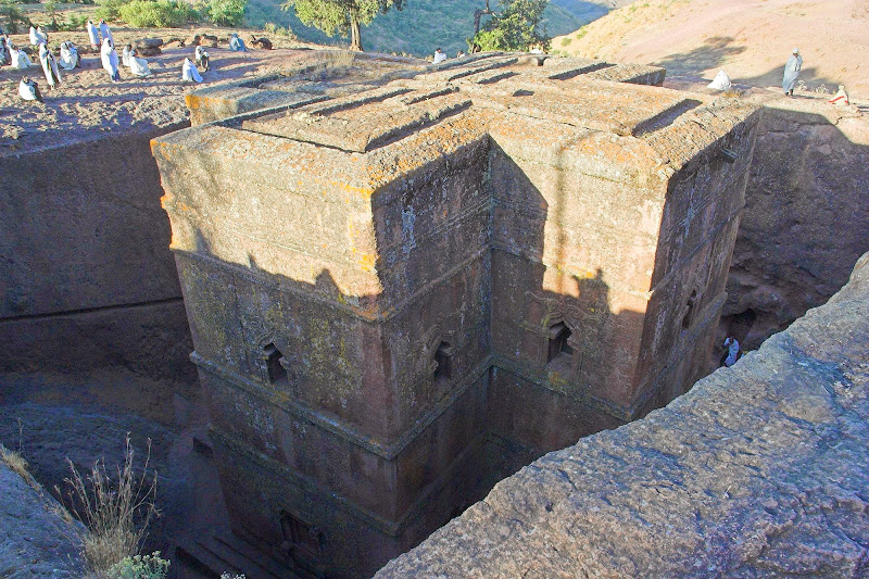
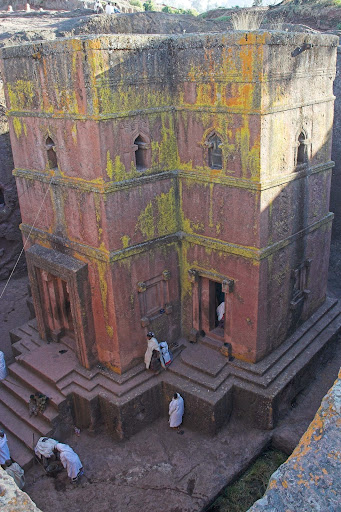
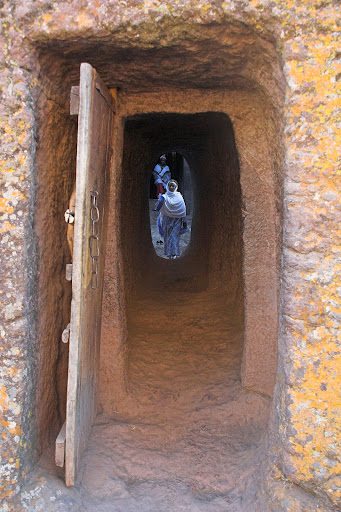
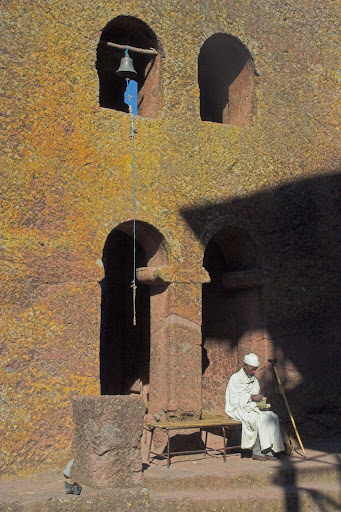
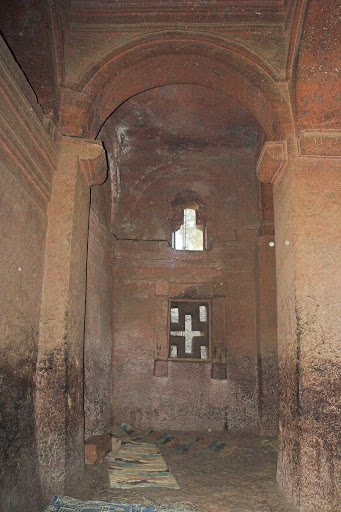
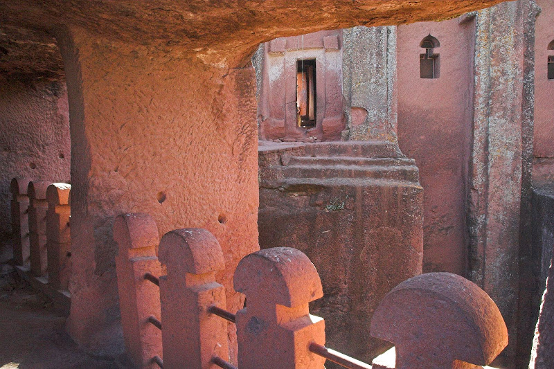
Lalibela (about 2500 meters above the sea) is a town in northern Ethiopia that is famous for its 11 monolithic rock-cut churches hewn out of rock ground - i.e. hewn vertically down rather than horizontally on the rock face as is seen in other places). Lalibela is one of Ethiopia's holiest cities, second only to Aksum, and is a center of pilgrimage for much of the country. The churches have been build in the 12th or 13th century and the most impressive one is the Church of St. George shaped like the Georgian cross.
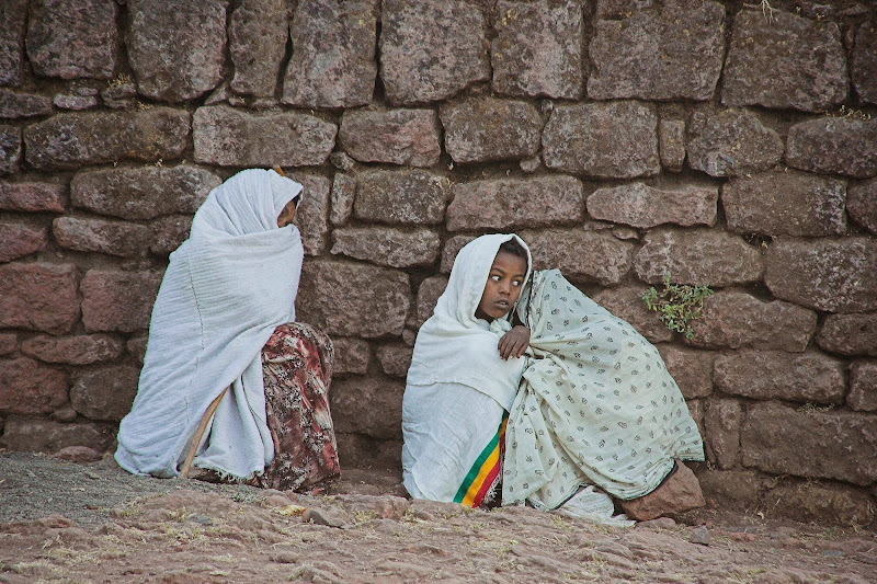
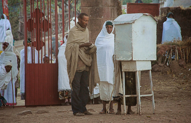
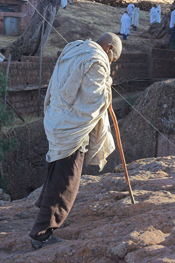
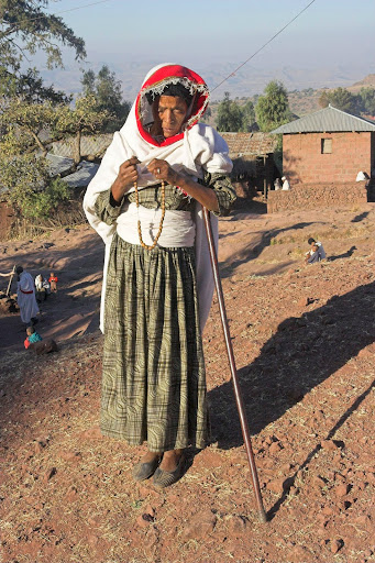
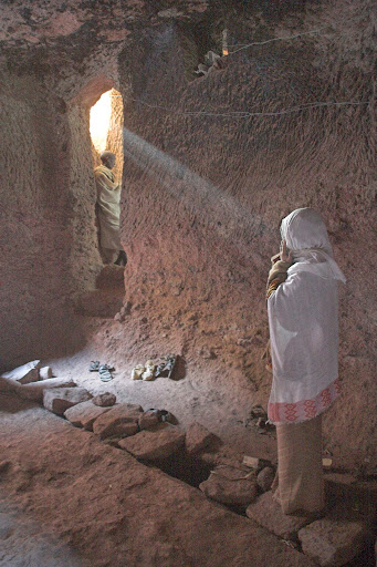
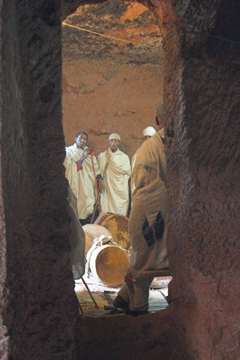
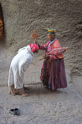
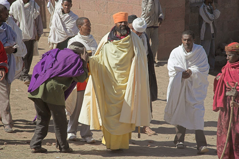
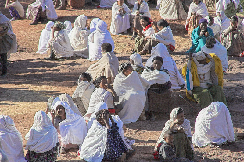
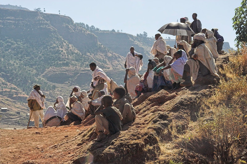
By chance I arrived on Saturday - which turned out to be very lucky, as Sunday is the mass day, when the people of Lalibela and surrounds gather to pray at the churches. Despite being an atheist who finds catholic services (all two or three of them that I’ve attended for funeral or wedding) incomprehensible and boring, I was deeply impressed by the level of devotion shown by the people in Lalibela. Their life is clearly no walk in the park, and the belief that there is someone lookout out for them maybe the only thing that makes it bearable. And I can relate to that - there were moments on this trip when even I prayed for a good outcome.

Mass in Lalibela:

M051218%2520130-02.jpg

M051218%2520130-12.jpg

M051218%2520130-23.jpg

051218%2520130-13.jpg
   
051218%2520131-25.jpg

051218%2520131-10.jpg

051218%2520131-12.jpg

051218%2520131-13.jpg

051218%2520131-14.jpg

051218%2520131-15.jpg

051218%2520131-21.jpg

051218%2520131-34.jpg

051218%2520131-35.jpg
   
051218%2520131-36.jpg

051218%2520131-40.jpg

051218%2520131-32.jpg

051218%2520131-44.jpg
   
051218%2520131-43.jpg

Church of St. George:

051218%2520131-49.jpg

051218%2520131-54.jpg

051218%2520131-57.jpg

051218%2520131-59.jpg
   
051218%2520131-60.jpg

051218%2520132-17.jpg
   
051218%2520132-18.jpg

051218%2520132-19.jpg
   
051218%2520132-10.jpg

051218%2520132-24.jpg

051218%2520132-40.jpg


Sights in Lalibela:

051218%2520131-46.jpg

051218%2520131-48.jpg

051218%2520131-23.jpg

051218%2520132-02.jpg

051218%2520132-36.jpg

051218%2520132-38.jpg


From Lalibela  I headed on dirt to Bahir Dar on Lake Tana about 100 km south from Gonder - so I came almost full circle. It was about 300 km of very dusty road with trucks, which made for the interesting game of chicken - taking over was quite an adrenalin as you could not see anything for kms sometimes during overtaking while ducking the trucks going in the opposite direction (as well as the truck I was overtaking - not visible till few meters from it) at the last moment.

On the way I’ve bumped into John & Helen from the Lake Nasser gang going in the opposite direction and we stopped to catch up. I had actually an agenda I’ve been working on since Khartoum to cover: the only official crossing from Ethiopia to Kenya is Moyale, from where the very bad rocky road heads south to Marsabit, Isiolo and Nanyuki next to Mt. Kenya. The road is back (that is a good thing as far as I’m concerned), and you are required to travel in the police convoy due to the activity of bandits from nearby Somalia. However in Khartoum I’ve bumped to some overlanders who told me that there is an alternative route from Omo Valley (where I and most of the gang were heading) south through the Samburu tribal area along the eastern shore of Lake Turkana. This one was actually technically illegal, as there was not official border crossing, however Kenyans were tolerating this route and allowed you to register once in Nairobi - on the other end of Kenya. However the route would require to cross more than 800 km of deep sand and rocks in extremely remote area with no petrol available. So I needed a vehicle with me to carry my petrol (being the ***** I am, the remoteness itself would not probably deter me from going it alone). And hence I started to pitch the route to J&H - they’ve heard about it and were considering it as well. So we agreed to meet up again in Addis Ababa to finalize the plans.
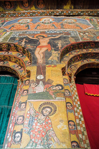
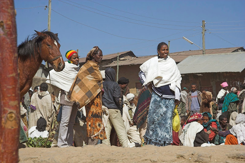
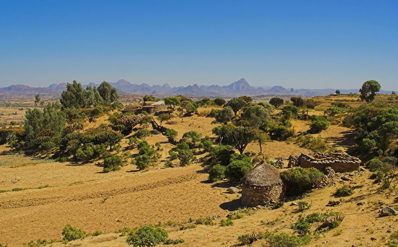
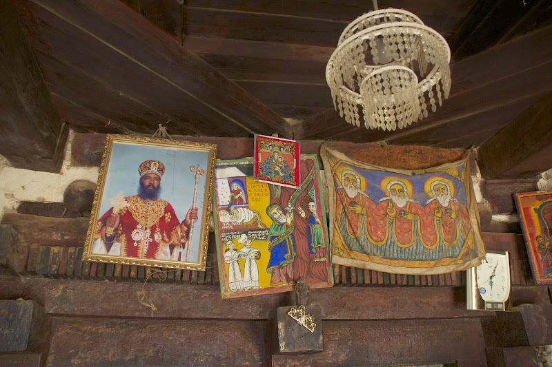
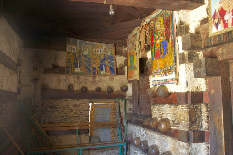
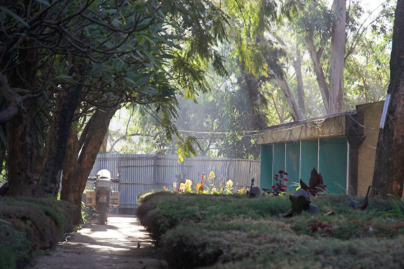
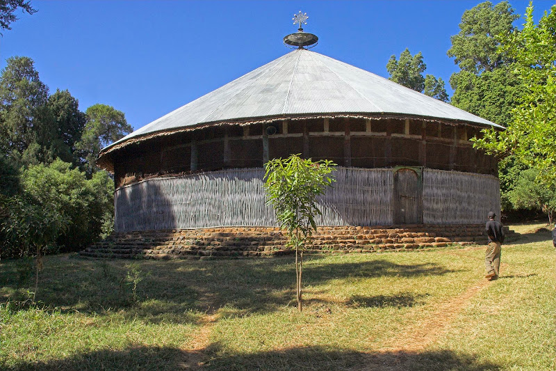
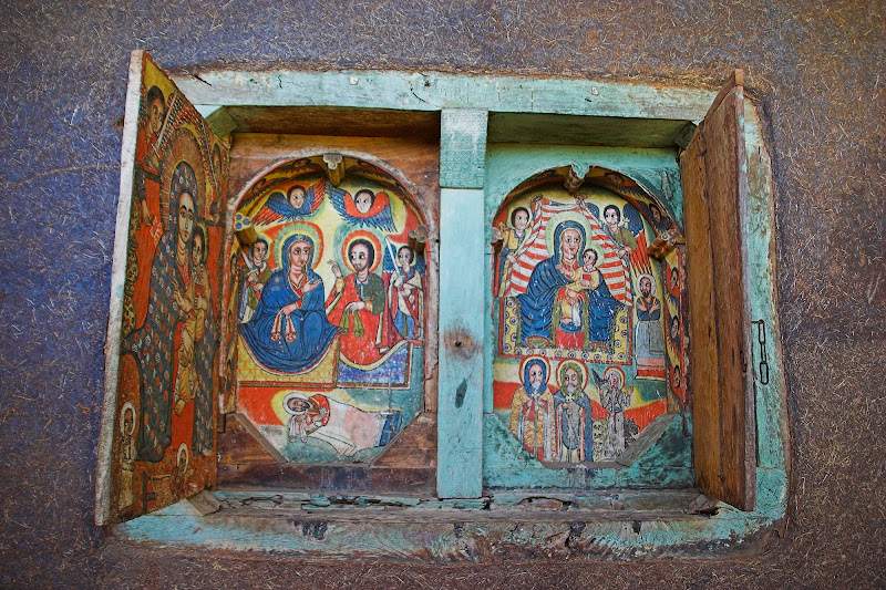
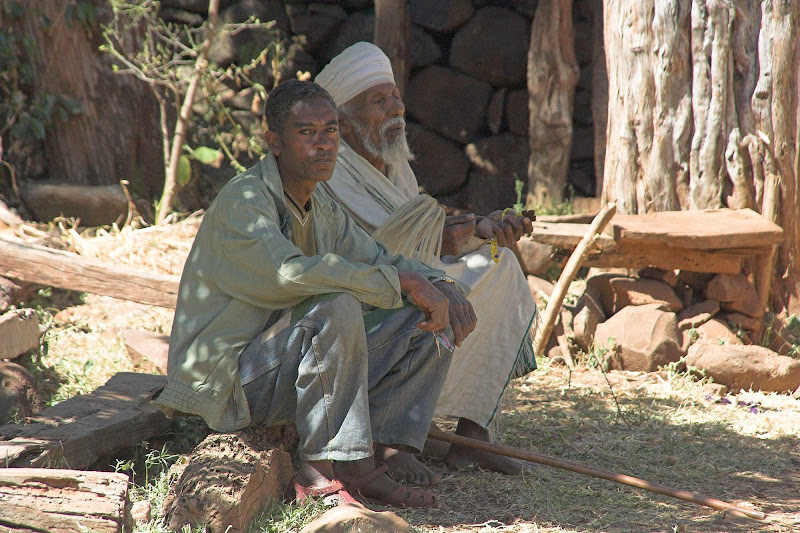
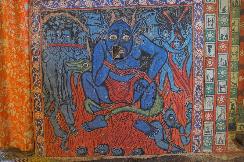
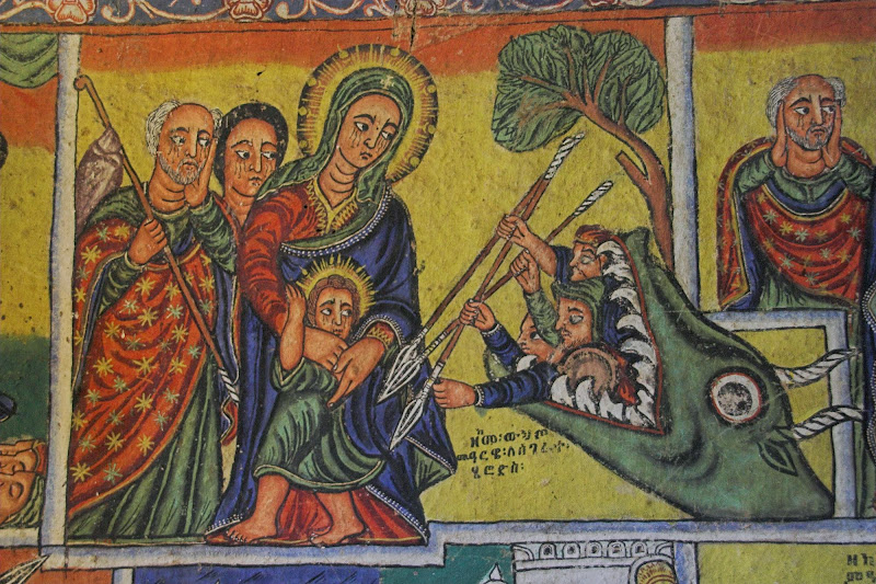
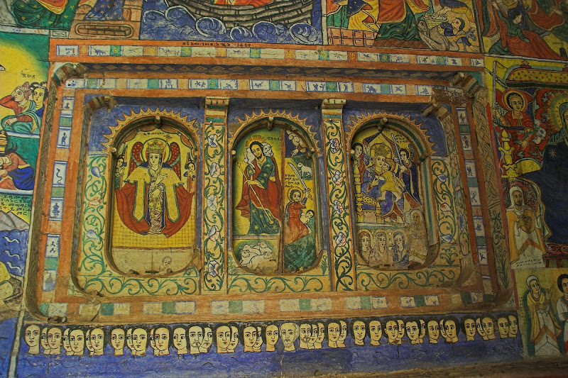
I have arrived to Bahir Dar in the afternoon and headed for the campsite on the Lake Tana recommended by J&H. There I’ve bumped into Eric & Daniela (again the Lake Nasser gang), who were leaving next day towards Addis - the short route south not including Lalibela and north. We had a dinner and they recommended to go visit islands on Lane Tana, which house monasteries with impressive murals (I know - I promise these are the last churches from Ethiopia). Next day they left and I went for guided tour of the islands. Like so:

Camp in Bahir Dar on Lake Tana:

051220%2520133-01.jpg

051220%2520133-04.jpg

Monasteries on the Lake Tana islands:

051220%2520133-18.jpg

051220%2520133-21.jpg

051220%2520133-24.jpg

051220%2520133-28.jpg

051220%2520133-31.jpg

051220%2520133-43.jpg

051220%2520133-50.jpg

051220%2520133-23.jpg
   
051220%2520133-48.jpg

051220%2520133-54.jpg
   
051220%2520133-13.jpg

051220%2520133-58.jpg

Good news everybody! There is a hole in the hell...

051220%2520133-63.jpg

051220%2520133-67.jpg

051220%2520133-69.jpg

051220%2520134-11.jpg

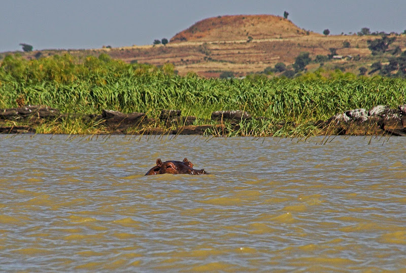
And my first hippo on the way back:

051220%2520134-08.jpg


Next instalment - south Ethiopia.
 
Top