You are using an out of date browser. It may not display this or other websites correctly.
You should upgrade or use an alternative browser.
You should upgrade or use an alternative browser.
Christmas Safari 3 - Mozambique & Zimbabwe
- Thread starter Xpat
- Start date
This site may earn a commission from merchant affiliate
links, including eBay, Amazon, and others.
Thanks. I'll try to link it from somewhere, just don't know how yet - will try to figure it out in the evening.
Or does anybody here have a suggestion how to do it? Can I just put it on my Google Drive and share it with the public?
Or does anybody here have a suggestion how to do it? Can I just put it on my Google Drive and share it with the public?
Xpat said:Thanks. I'll try to link it from somewhere, just don't know how yet - will try to figure it out in the evening.
Or does anybody here have a suggestion how to do it? Can I just put it on my Google Drive and share it with the public?
To share with anyone with the link:
In windows, right click on the file,
Click google drive -> share
Click get shareable link
You should then get a link that you can paste in here, and anyone with the link will be able to download.
@E.T: I don't know, I stalled on that one - it is a lot of work (well they all are). But it picked up some interest on advrider, so I would like to finish it. First I need to finish this one though and I have a trip into Botswana lined up for Easter, so it is not going to happen in the immediate future.
YamaV said:To share with anyone with the link:
In windows, right click on the file,
Click google drive -> share
Click get shareable link
You should then get a link that you can paste in here, and anyone with the link will be able to download.
Thank you YamaV :thumleft:. I'll do it in the evening.
GSpear
Pack Dog
Great RR, thanks for sharing, makes me just wanna go out and ride !
- Joined
- Nov 5, 2013
- Messages
- 540
- Reaction score
- 92
Xpat, as always absolutely fantastic!
Thanks for sharing.
Thanks for sharing.
Thank you all for support.
I have managed to add link fo the GPX files in the first post per YamaV suggestion - unfortunatelly it works only in Firefox, on other browsers it just loops around and then gives error message. This seems to be known issue with Google Drive for past 5 years, and the mighty Google have done so far bugger all about it. I will research some other options, but if you are really interested now you can either click on the link in Firefox or copy it to Firefox from other browser.
I have managed to add link fo the GPX files in the first post per YamaV suggestion - unfortunatelly it works only in Firefox, on other browsers it just loops around and then gives error message. This seems to be known issue with Google Drive for past 5 years, and the mighty Google have done so far bugger all about it. I will research some other options, but if you are really interested now you can either click on the link in Firefox or copy it to Firefox from other browser.
New Year
Once settled in my room I've spent rest of the day eating and driking in the bar, watching party preparations and gangs of local guys coming in to buy tickets for the party - it was shaping up to be a big one. As the sun was setting down I went to take pre-emptive nap in my room waking up in the dark. I could hear music pumping, but so far nothing dramatic, so got my hopes for quiet night slightly up (I know how sad that sounds - high hopes of quiet New Years night, but quite frankly I'm perfectly reconciled with that, especially after few days of hard sand riding in the middle of Moz summer). I did make a token attempt to join the festivities in the bar and was surprised that it was fully occupied by whitey university students in the standard beach attire. At 43 I stand out like a perv in this demographics and frankly there aren't many common themes I share with the youth of this world (last year I was a pub quiz where I literally didn't know a single answer; the best was when it got to music where I thought I stand good chance - not only didn't I know the singer/group but even when told the answer I didn't have a clue what they talking about - something like pitbull, which I thought is a dog, and Akon, which I assumed is an industrial detergent or something).
So I parked myself in a corner and fortified myself with few beers hoping that somewhat greased (not much really) I'll be able to catch some sleep. And it worked - kind of. I actually managed to sleep through the New Year, but then the bear wore off and I was woken up at about 5:00 am by that stupid sub-woofer thingy (I'll pay good money to anybody who will kill inventor of this satanic thing - slowly). By this stage all the whiteys were gone and the demographic changed to blacks only - all dressed in white, I guess this was Sensation White kind of party. They also moved to the courtyard to the pool in front of my room, which was off limits in the evening.
All things considered it was actually pretty civilized. Yes there were dressed people in the pool, lots of merriment, and intersex mingling. But by the standards of my youth party like this may or may not have involved stealing our teacher's car for a bit of joyriding, cupping hands over the eyes of a policeman while he is driving your shitface to the police station and saying 'Can you drive now?' (no communist police cars didn't have separate compartments for delinquents) and copious amounts of vomitting, this was kindergarden party.
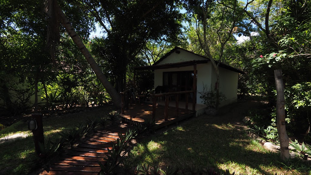
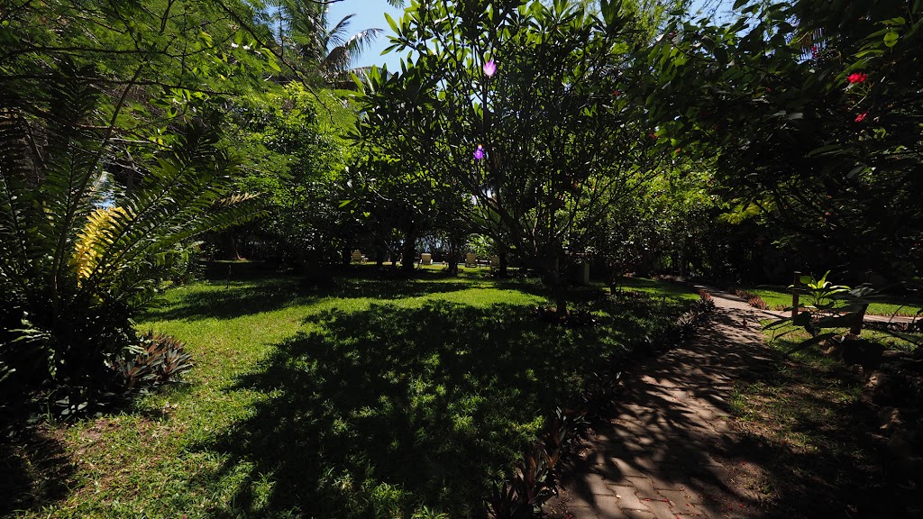
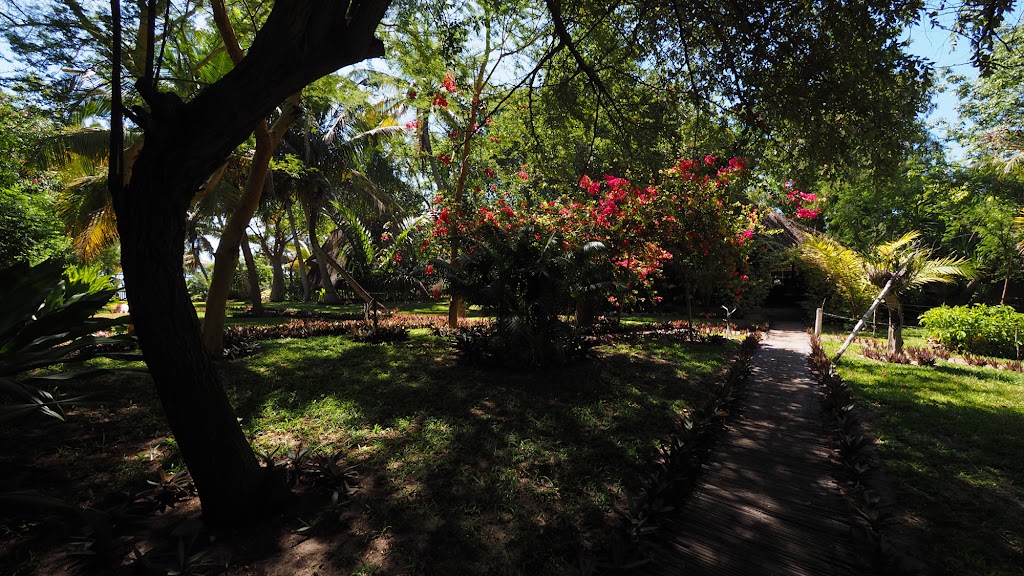
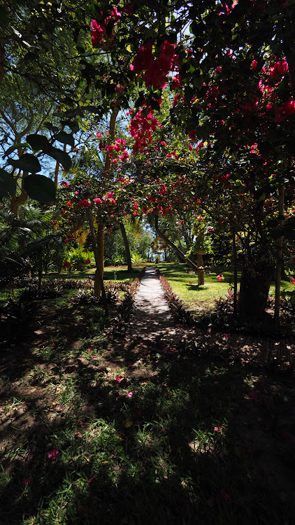
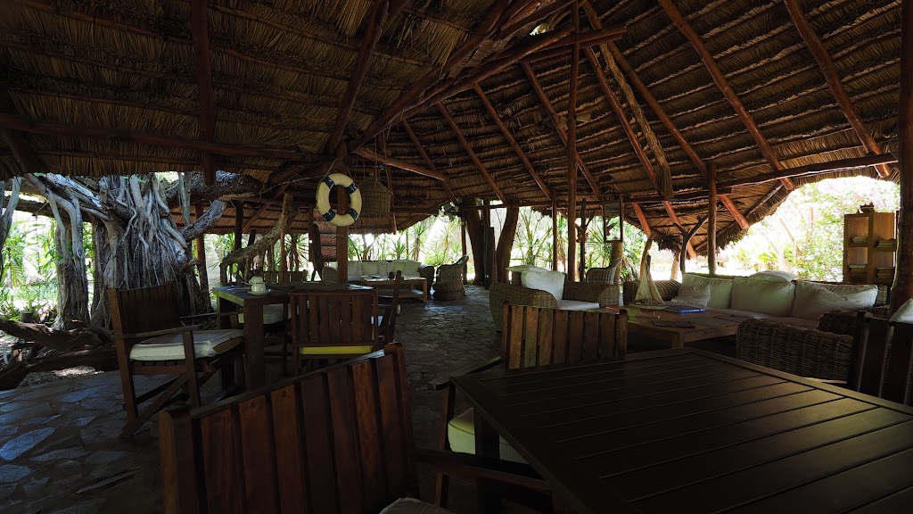
Still, I needed a rest before I will hit the bush again. The party didn't seem to be petering out even at 7:00 and by now my room was already very hot. The plan to sleep it out during the day wouldn't work even if the party ends soon. Grudgingly (I hate packing - especially on a rest day) I decided to move somewhere else - I didn't care where as long as it has an air-con. I eventually found a luxury lodge slap bang in the middle of the town's beach strip, and settled in for a day of idleness in nice air-conditioned challet in a lush tropical garden, with my private chef (I was the only one there) cooking up a storm for breakfast and dinner:
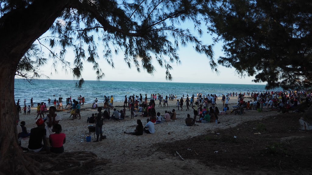
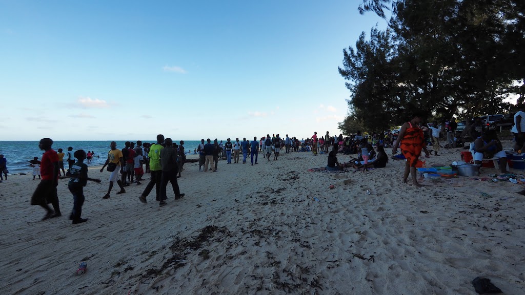
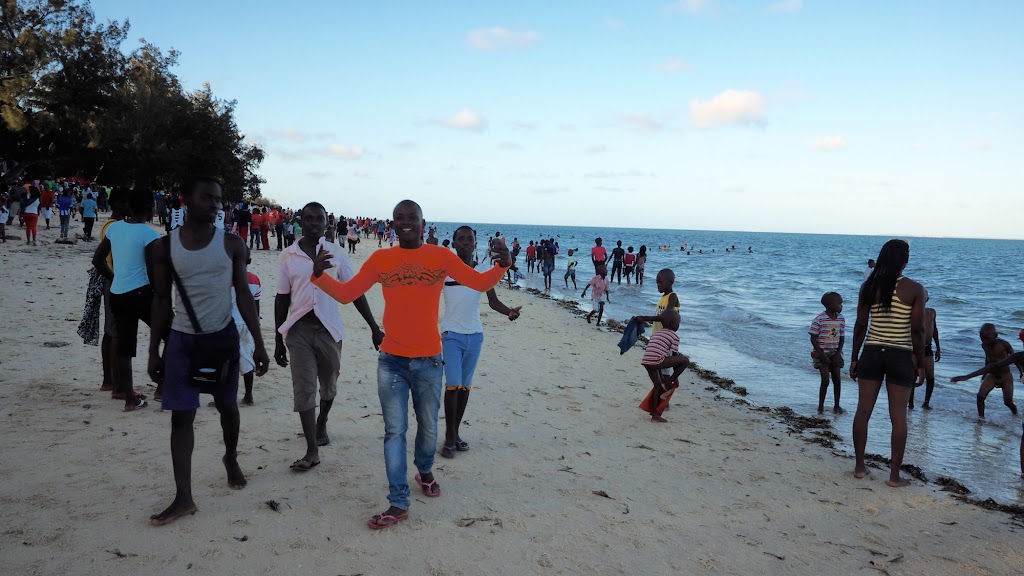
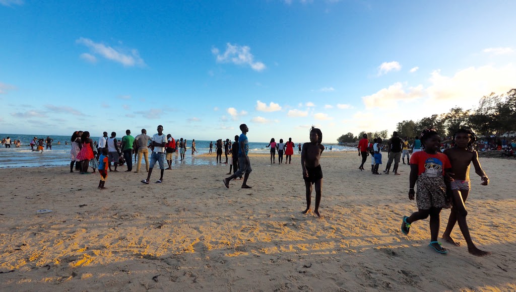
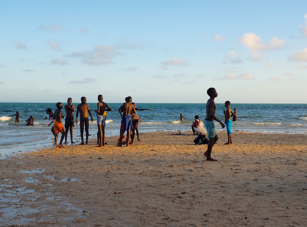
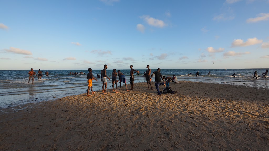
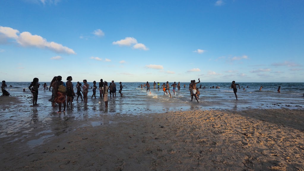
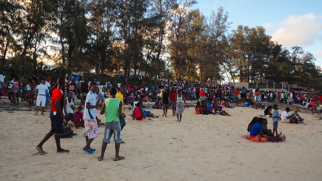
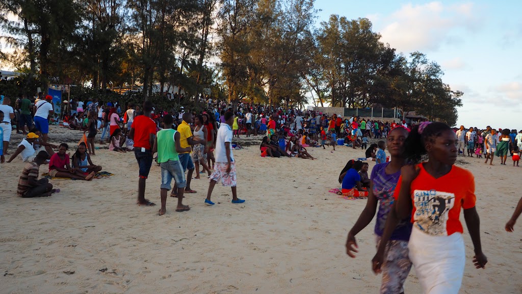
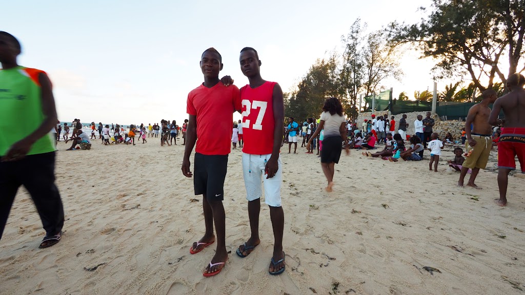
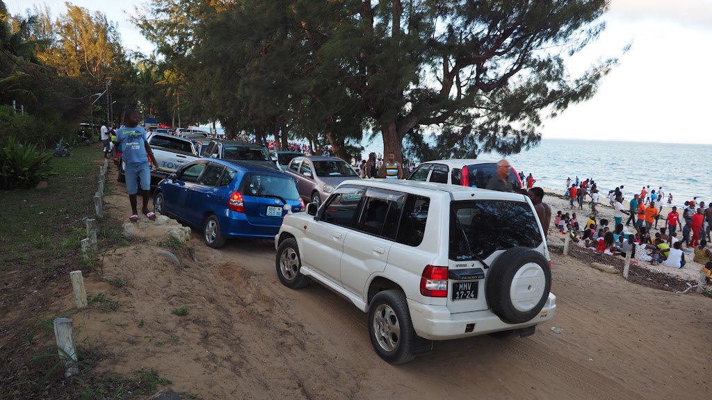
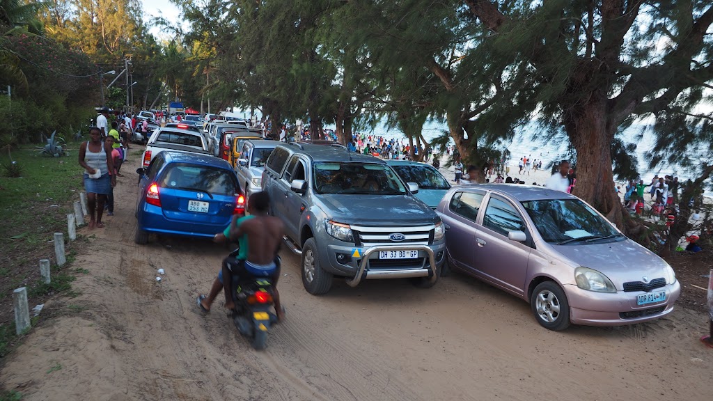
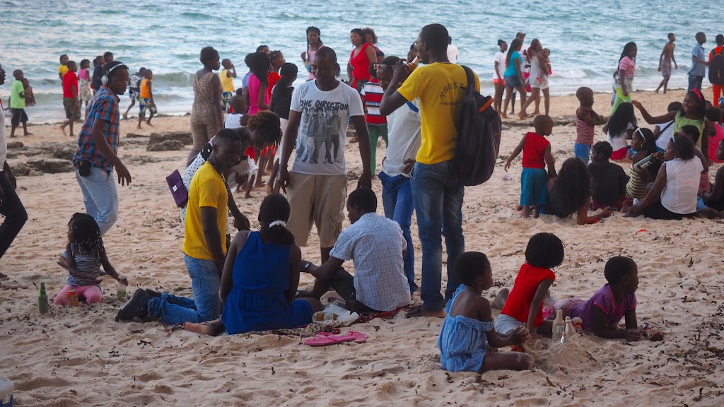
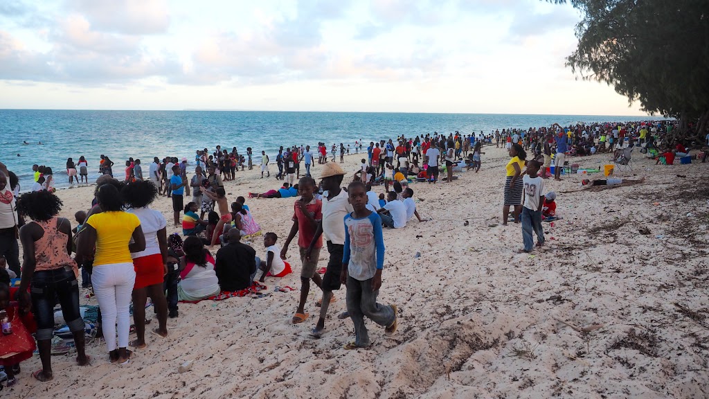
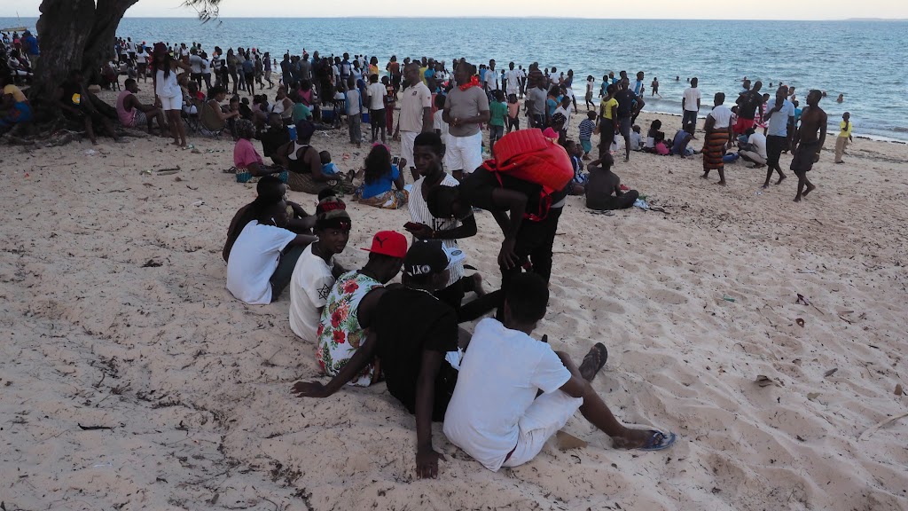
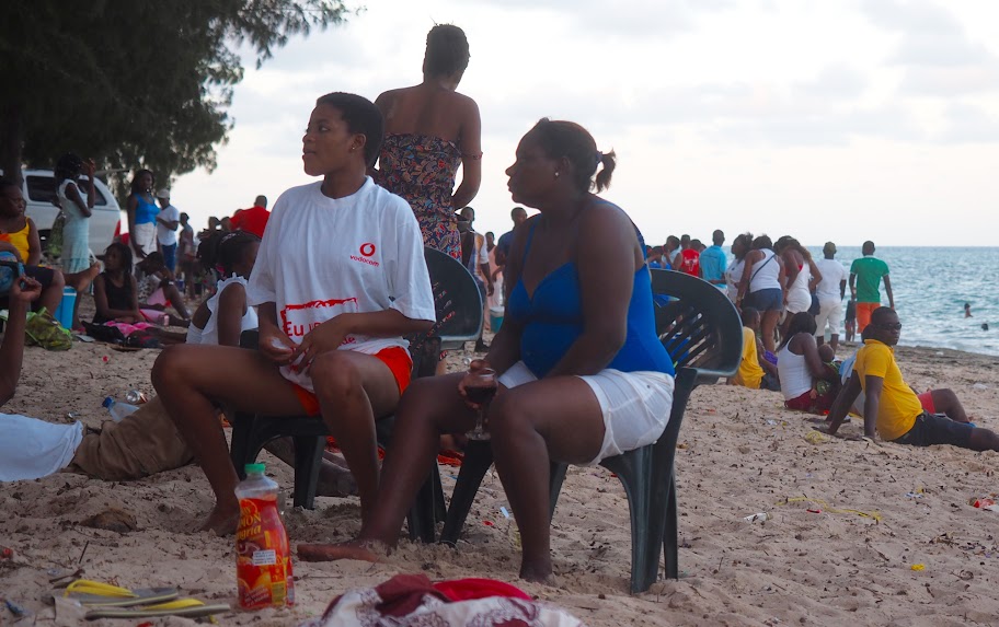
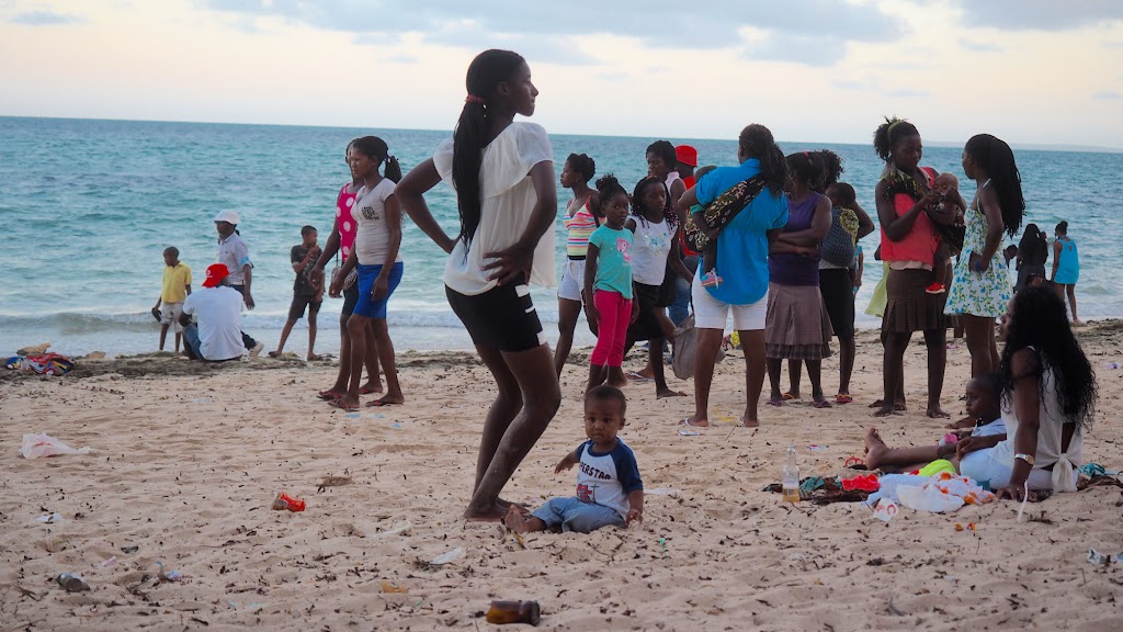
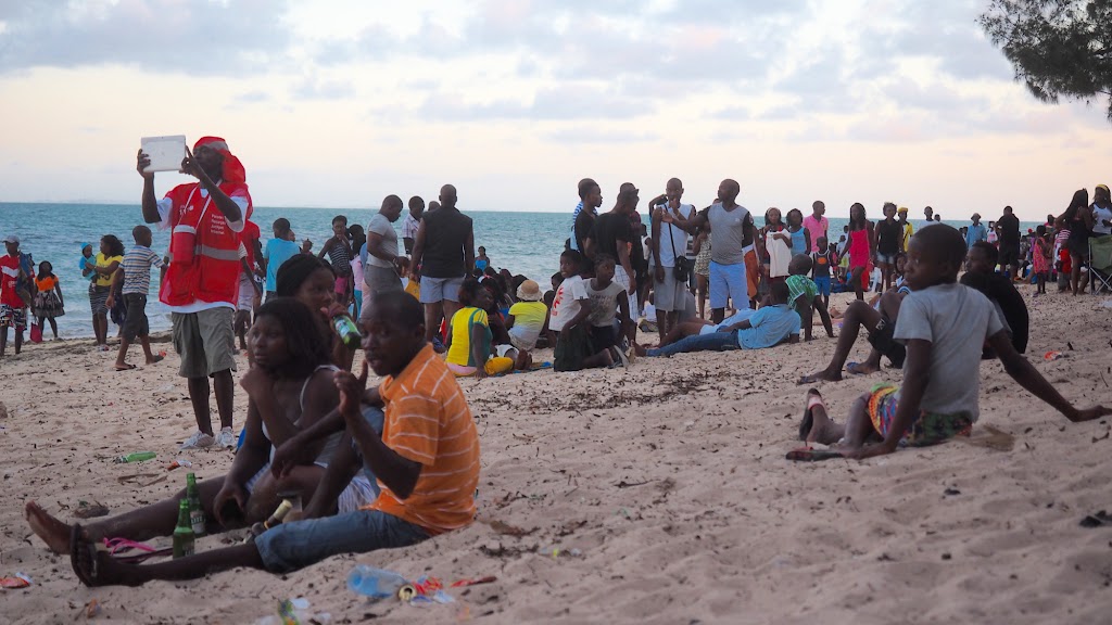
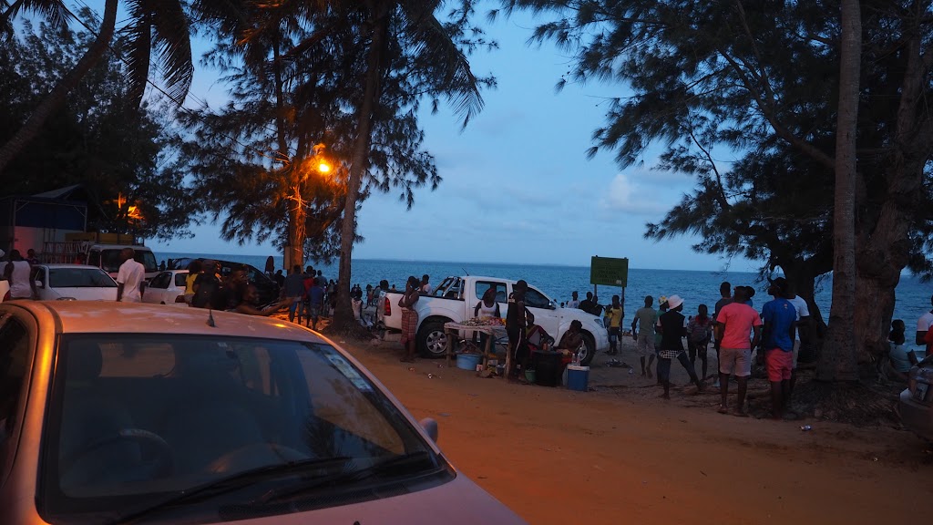
In the meantime the whole Mozambique was strolling on that beach about 70 meters from me celebrating New Year. There was a nice communal atmosphere with crowds strolling on the beach, while local drivers drove nonsensically up and down the adjacent dirt road causing one huge traffic jam. Of course there were trucks with big speakers peddling each their favourite tune, but most of it was an African music fitting nicely to the atmosphere. The only problem was that I couldn't sleep, which made me a bit cranky. Well, if you cannot defeat them, join them - so that is what I did, causing quite a bit of amusement as I was the only whitey - seems all the world weary backpackers were hiding in their den. Here are some pictures from the beach - stupidly I brought wide lens and forgot to increase the ISO so many pics are blurry, but hey - nobody's perfect:
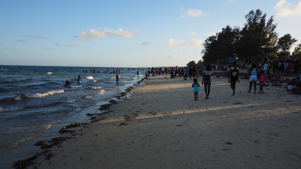
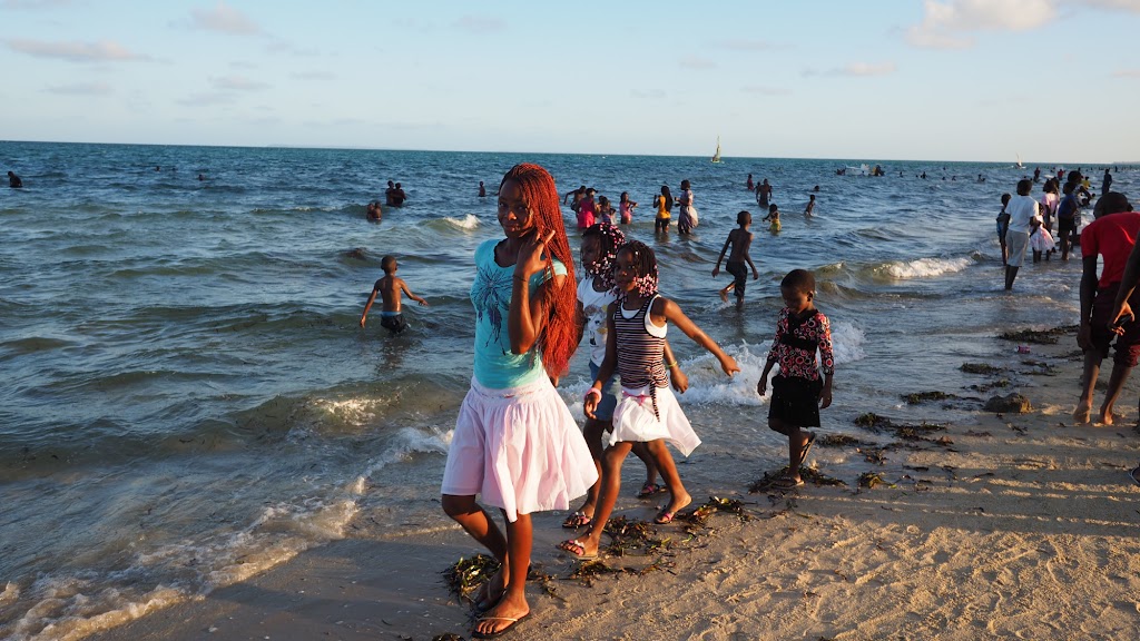
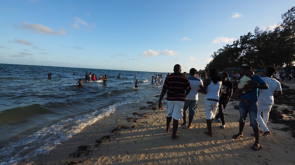
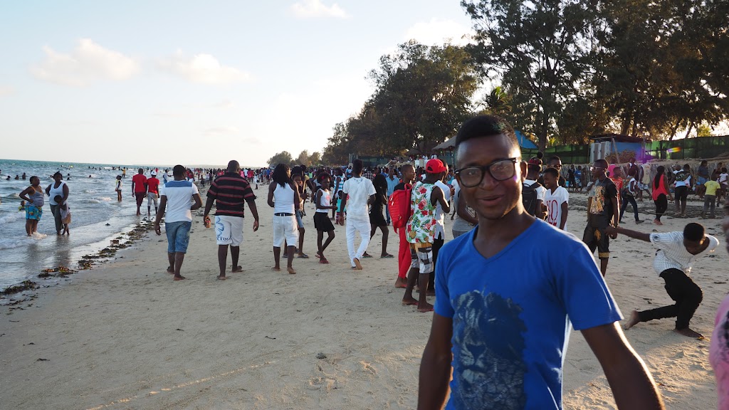
There were number of different sub-cultures represented, such as gangstas, cool cats, etc.. Here is one of the nerdy tribe:
Not sure who these are - probably rappers:
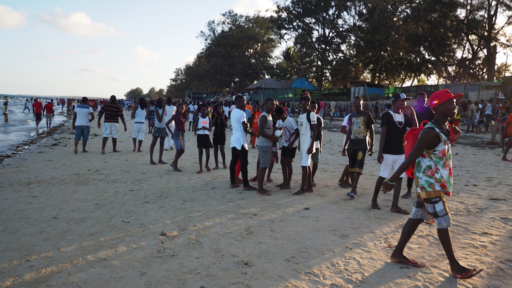
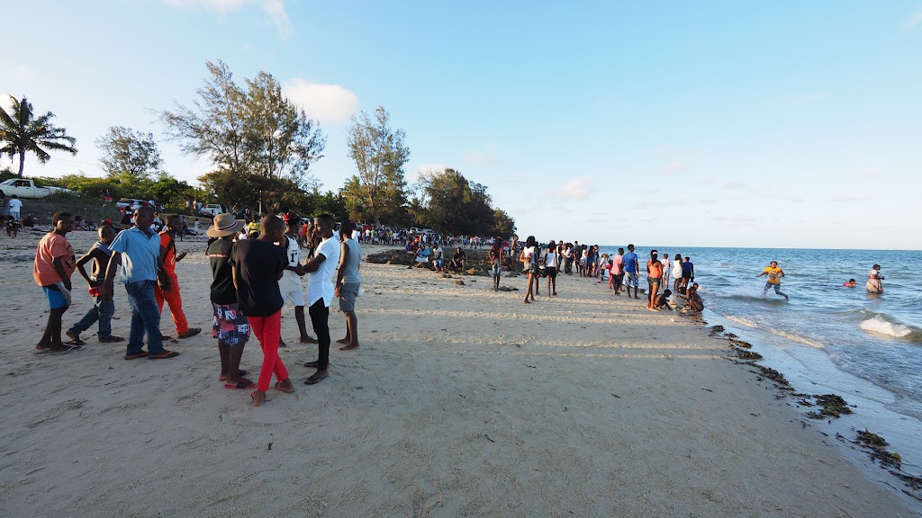
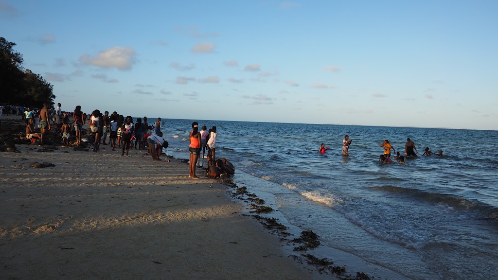
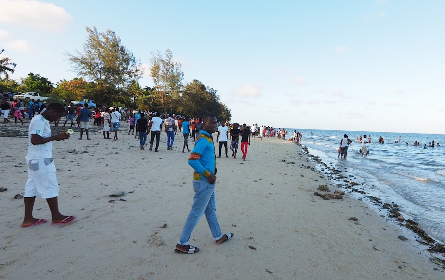
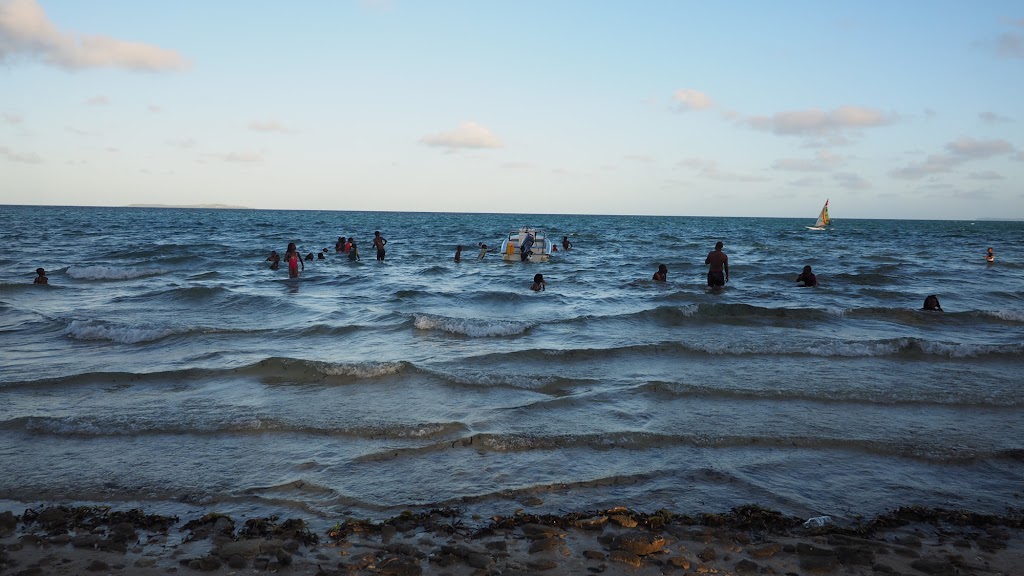
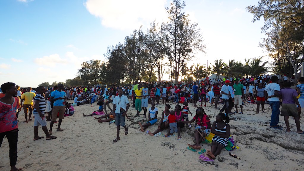
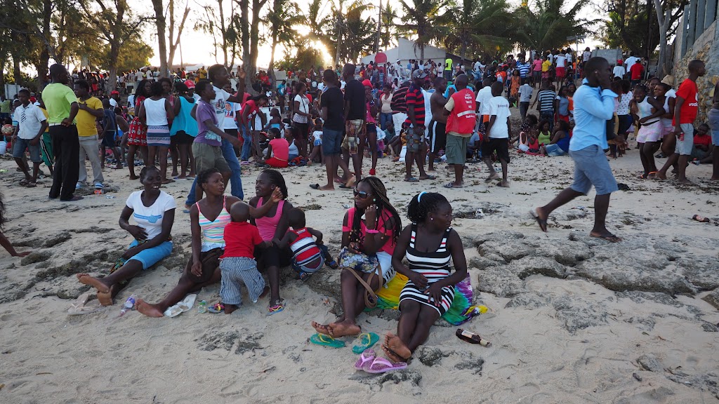
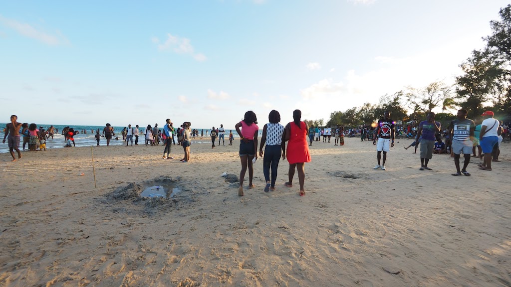
New Year's is clearly the time to show off your cage on 1km long dirt strip:
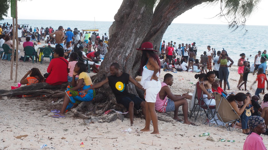
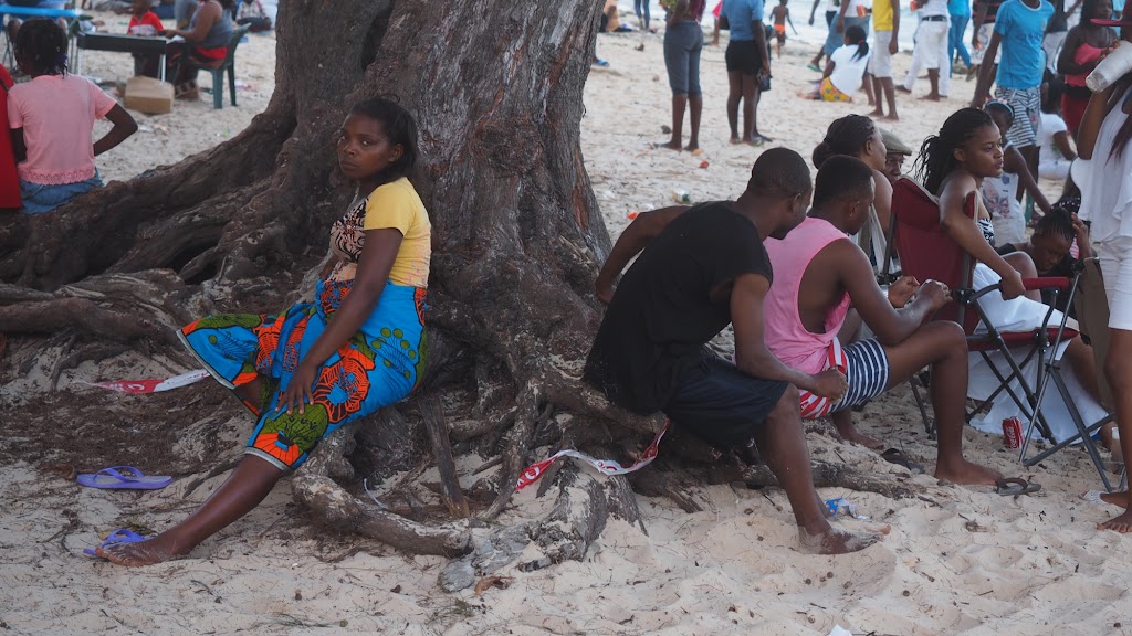
Nerdy Nerdeson again creeping in:
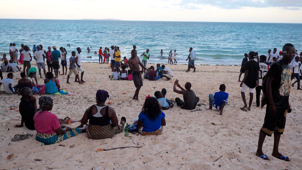
Gangstas:
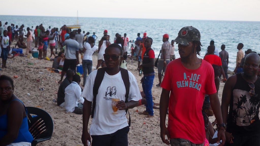
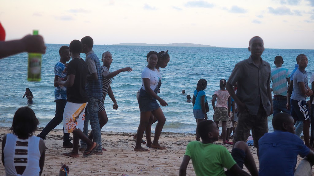
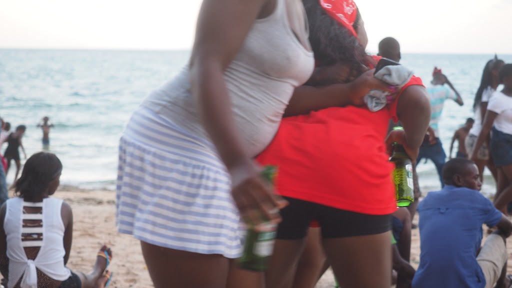
These mammas were keen to get into few of my pictures - well, some parts of them:
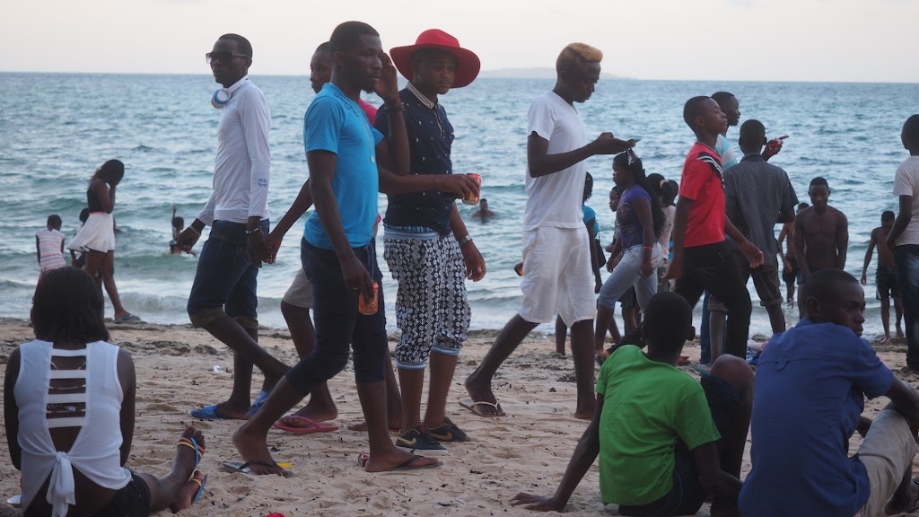
Cool cats:
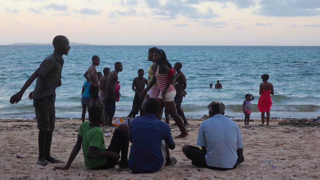
Then I've been attacked:
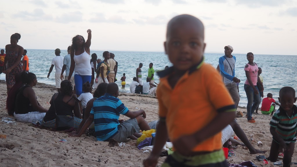
But I prevailed:
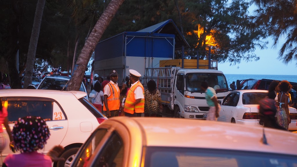
These two had a hard time trying to manage the chaos:
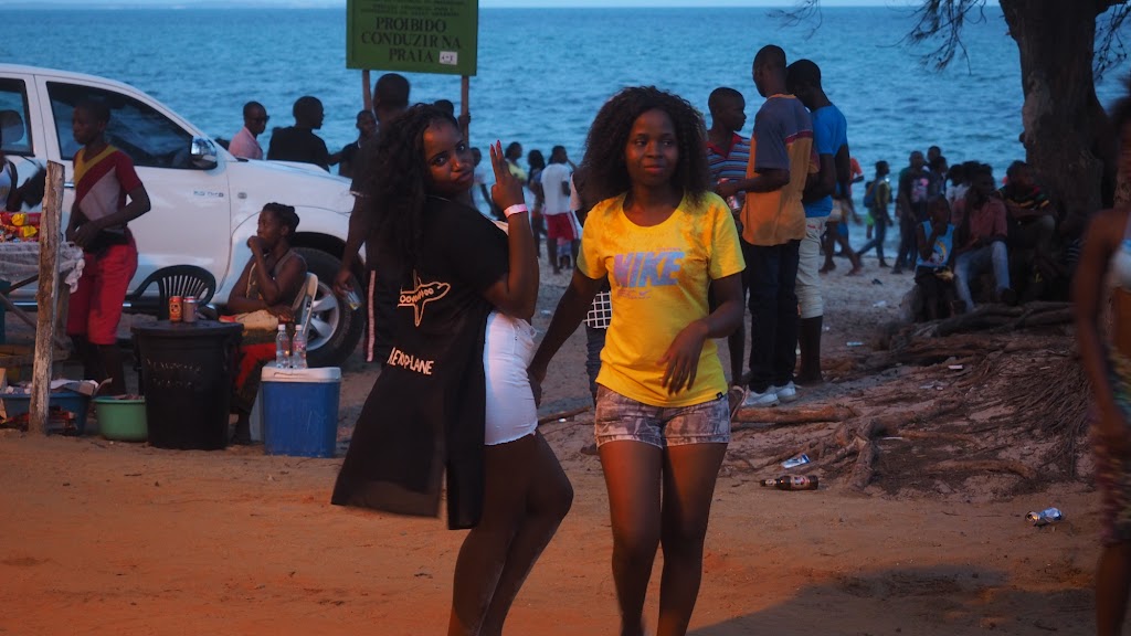
These two had a good time:
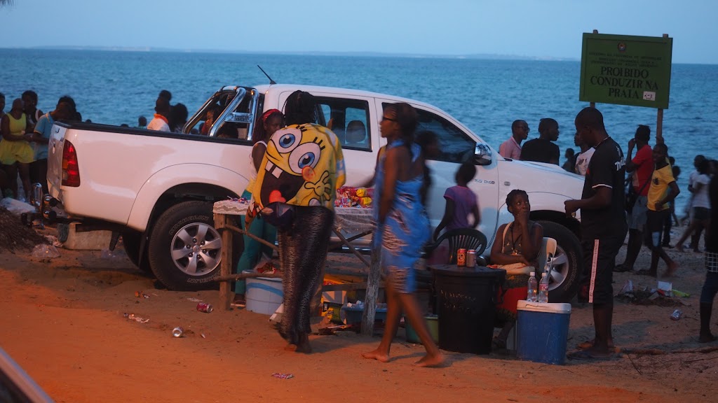
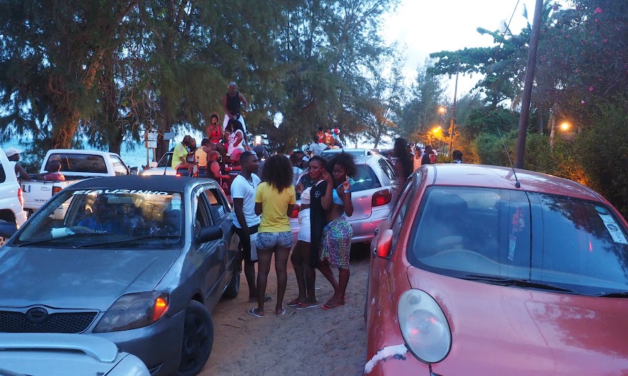
So much for my botched attempt at street photography. In the next part we will return back to the regular bike porn.
Once settled in my room I've spent rest of the day eating and driking in the bar, watching party preparations and gangs of local guys coming in to buy tickets for the party - it was shaping up to be a big one. As the sun was setting down I went to take pre-emptive nap in my room waking up in the dark. I could hear music pumping, but so far nothing dramatic, so got my hopes for quiet night slightly up (I know how sad that sounds - high hopes of quiet New Years night, but quite frankly I'm perfectly reconciled with that, especially after few days of hard sand riding in the middle of Moz summer). I did make a token attempt to join the festivities in the bar and was surprised that it was fully occupied by whitey university students in the standard beach attire. At 43 I stand out like a perv in this demographics and frankly there aren't many common themes I share with the youth of this world (last year I was a pub quiz where I literally didn't know a single answer; the best was when it got to music where I thought I stand good chance - not only didn't I know the singer/group but even when told the answer I didn't have a clue what they talking about - something like pitbull, which I thought is a dog, and Akon, which I assumed is an industrial detergent or something).
So I parked myself in a corner and fortified myself with few beers hoping that somewhat greased (not much really) I'll be able to catch some sleep. And it worked - kind of. I actually managed to sleep through the New Year, but then the bear wore off and I was woken up at about 5:00 am by that stupid sub-woofer thingy (I'll pay good money to anybody who will kill inventor of this satanic thing - slowly). By this stage all the whiteys were gone and the demographic changed to blacks only - all dressed in white, I guess this was Sensation White kind of party. They also moved to the courtyard to the pool in front of my room, which was off limits in the evening.
All things considered it was actually pretty civilized. Yes there were dressed people in the pool, lots of merriment, and intersex mingling. But by the standards of my youth party like this may or may not have involved stealing our teacher's car for a bit of joyriding, cupping hands over the eyes of a policeman while he is driving your shitface to the police station and saying 'Can you drive now?' (no communist police cars didn't have separate compartments for delinquents) and copious amounts of vomitting, this was kindergarden party.
Still, I needed a rest before I will hit the bush again. The party didn't seem to be petering out even at 7:00 and by now my room was already very hot. The plan to sleep it out during the day wouldn't work even if the party ends soon. Grudgingly (I hate packing - especially on a rest day) I decided to move somewhere else - I didn't care where as long as it has an air-con. I eventually found a luxury lodge slap bang in the middle of the town's beach strip, and settled in for a day of idleness in nice air-conditioned challet in a lush tropical garden, with my private chef (I was the only one there) cooking up a storm for breakfast and dinner:


In the meantime the whole Mozambique was strolling on that beach about 70 meters from me celebrating New Year. There was a nice communal atmosphere with crowds strolling on the beach, while local drivers drove nonsensically up and down the adjacent dirt road causing one huge traffic jam. Of course there were trucks with big speakers peddling each their favourite tune, but most of it was an African music fitting nicely to the atmosphere. The only problem was that I couldn't sleep, which made me a bit cranky. Well, if you cannot defeat them, join them - so that is what I did, causing quite a bit of amusement as I was the only whitey - seems all the world weary backpackers were hiding in their den. Here are some pictures from the beach - stupidly I brought wide lens and forgot to increase the ISO so many pics are blurry, but hey - nobody's perfect:


There were number of different sub-cultures represented, such as gangstas, cool cats, etc.. Here is one of the nerdy tribe:

Not sure who these are - probably rappers:


New Year's is clearly the time to show off your cage on 1km long dirt strip:


Nerdy Nerdeson again creeping in:

Gangstas:


These mammas were keen to get into few of my pictures - well, some parts of them:

Cool cats:


Then I've been attacked:

But I prevailed:


These two had a hard time trying to manage the chaos:

These two had a good time:


So much for my botched attempt at street photography. In the next part we will return back to the regular bike porn.
schalk vd merwe
Race Dog
Eish ne' lekker Africa
Malcolm said:Route downloaded just fine on Google Chrome, thanks X
Good, it still doesn't work on my computer so it is probably just my settings.
I have to take a break from this ride report - I have some work to do and also prepare for another trip over Easter holidays. Will finish it once back.
Thanks for following!
Day 12
Keeping up the record of missing every single tourist highlight of my route so far (whale sharks swim in Tofo being the first one), I decided to skip Bazaruto islands – the main and probably only reason why people come to Vilanculos. I was way behind the schedule and keen for the change of scenery – there is only so long I can bum around beaches.
Next on the menu were Eastern Highlands in Zimbabwe. The plan was to head from Vilanculos north-west for the Espungabera border crossing on the little dirt roads I could see on Googlemaps, skirting the Zinave national park boundary along the way for some African game viewing. Like so:
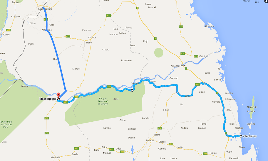
It was about 450 km to Espungabera, so based on my record so far in Moz at least 3 days of ridding. However, I was moving inland away from the ocean (which I interpreted as away from the sand) and would be riding tracks that exist already and are routable on Googlemaps (contrary to most of the tracks along the coast that I had to plot myself), so I expected the roads to be gravel and hoped to make it to Zimbabwe in one day. As usually, I was wrong.
Despite my ambitious plan, I was not willing to forfeit the royal breakfast in the lodge and managed to set-off only after 8:00. At the outskirts of Vilanculos I caught up with a dude on BMW 650 Dakar with German plate. We stopped and chatted for a bit. Stephan (if I remember correctly) rode from Germany to India, shipped the bike to South Africa and was not on his return leg back to Germany. I gave him some pointers that I remembered from my trip down from Europe and we rode together for another 25 km or so north on EN1, where I turned on a road heading west.
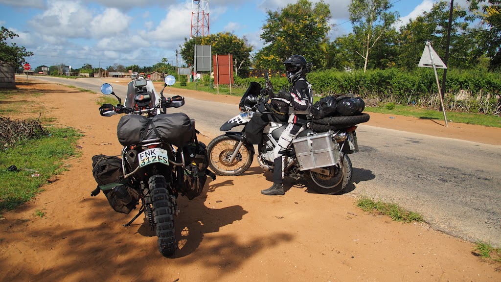
To my surprise/dismay, the road turned out to be tar and after few km I found myself stopped in front of something completely out of place - a spaceship like factory with lots of intersecting shiny pipelines with hissing chimney’s, high fence and watchtowers. Officially it was a gas field, but I’m not stupid – I know a hidden lair of an evil trillionaire hell-bent on world dominance when I see one! The guards were well fed muscly pros, not the malnourished skinny jobbies normally masquerading as security in these parts of the world. And dead giveaway – they spoke English (probably ex-SAS)!
I informed them that they landed their spaceship in the middle of my route and WTF they intend to do about it. Unlike movie baddies, these had a sense of humour and politely directed me to the dirt road running along the circumference of the plant. On the other side there were couple of routes venturing into the bush in my intended direction – I took the best looking one. It run by 2 or 3 other gas fields and after the last one turned into single green lane running through the bush that clearly hasn’t been used for a while. I could see on GPS that I was not on my intended route, but this one was going west as well so I assumed it will sooner or later reconnect with my route and just continued.
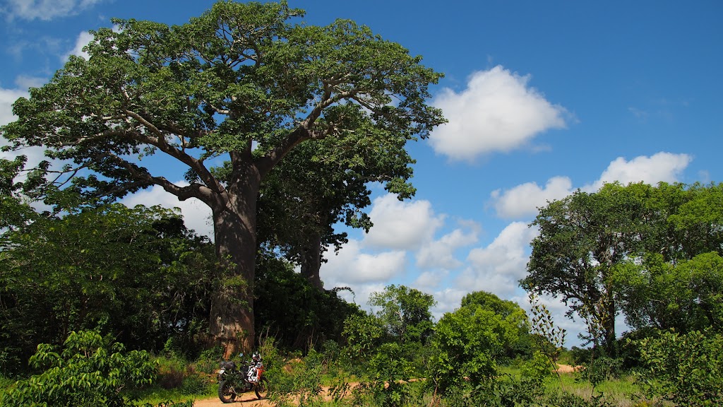
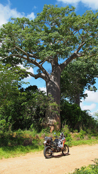
Green lane behind the gas fields:
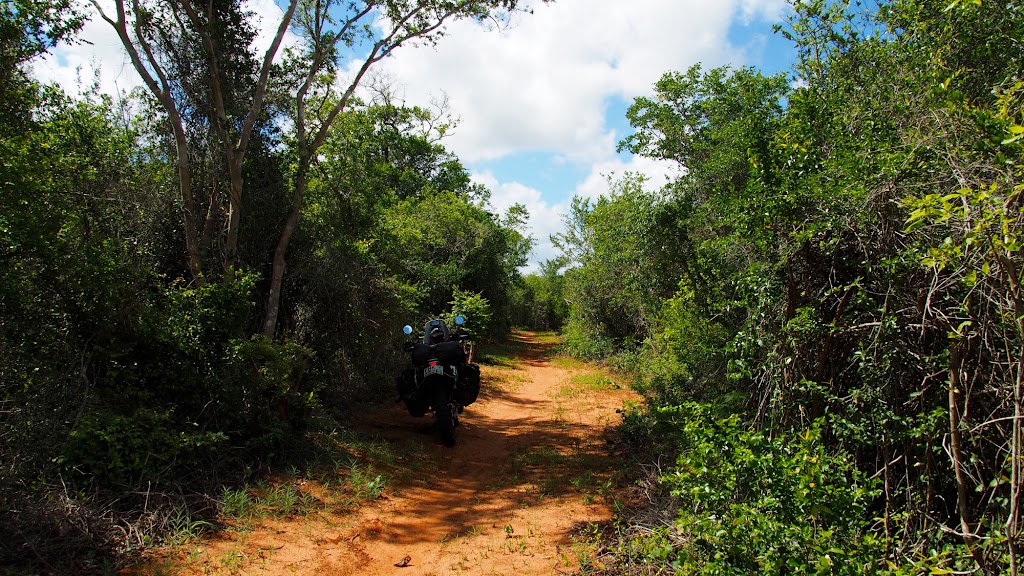
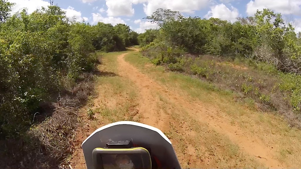
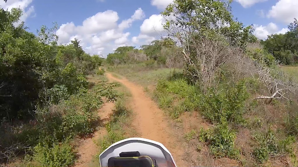
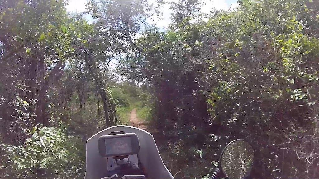
After about 10 km it was clear that it really isn’t used and it is actually starting to bear north away from my route, which was not about 10 km south. I didn’t want to go back so I just took a footpath into the bush heading in the general southern direction, dodging/crashing through gradually more and more dense trees and bushes.
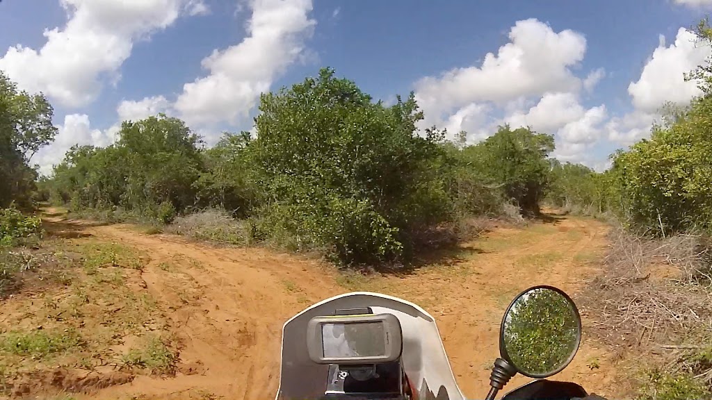
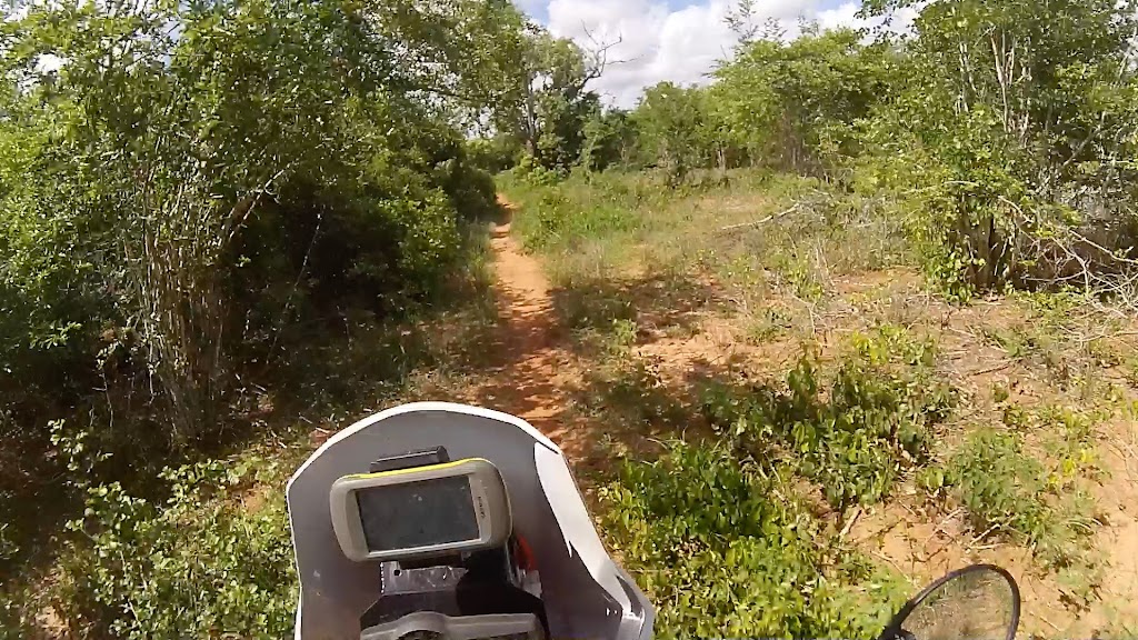
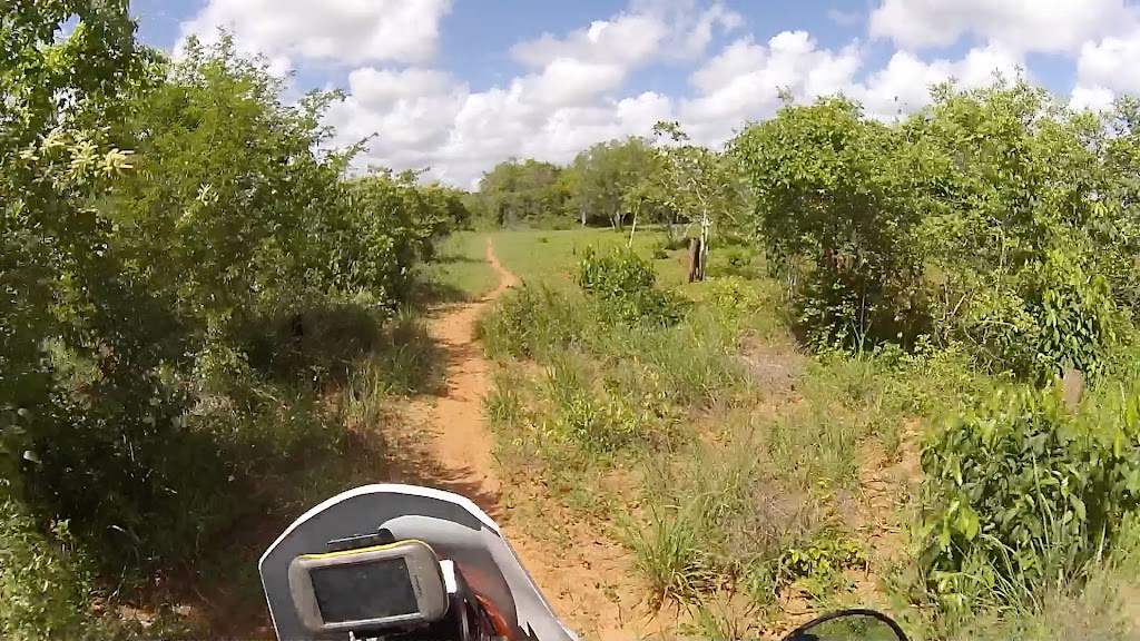
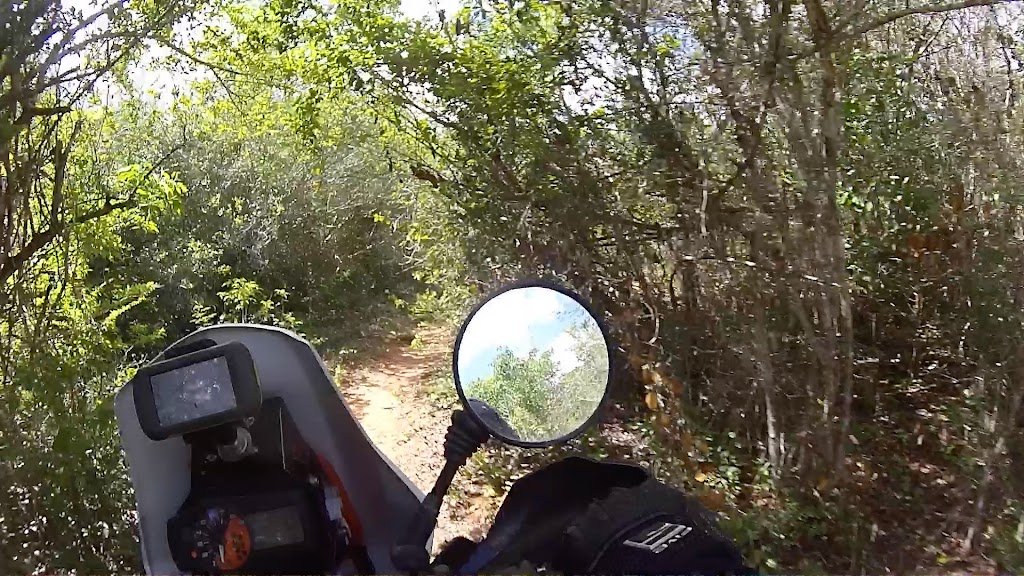
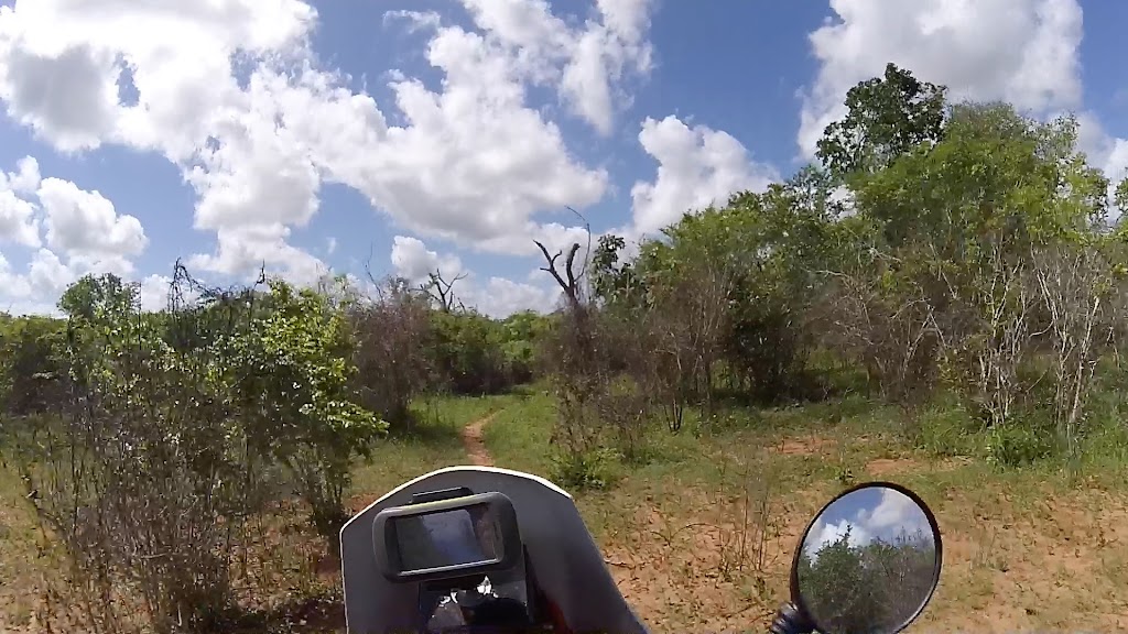
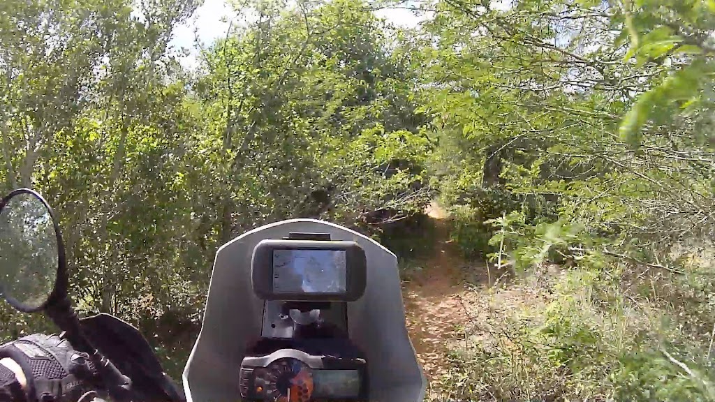
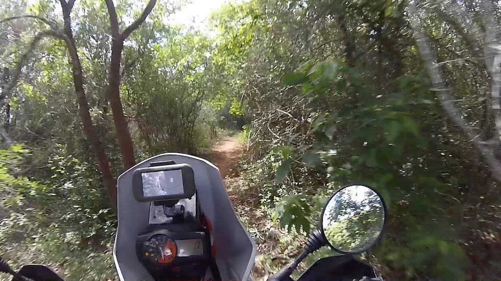
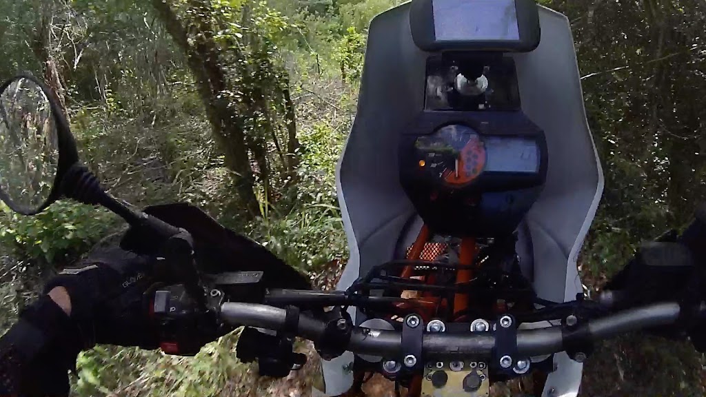
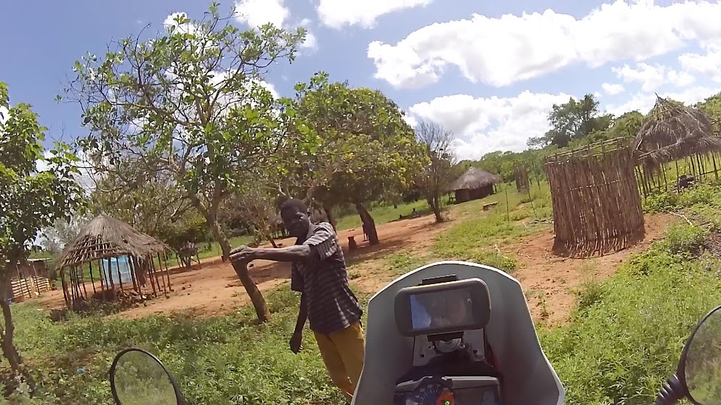
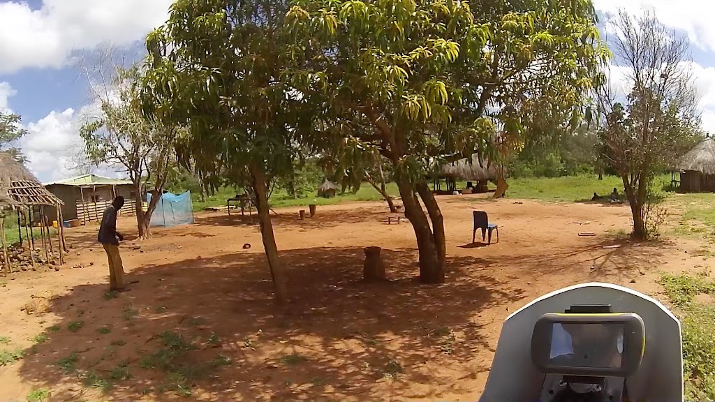
I came upon number of little one family settlements (the reason for the foot paths) and stopped to ask the locals for direction. I’m not particularly social animal, but here in the bush I do turn into regular chit-chat. Luckily for the locals I don’t speak any Portuguese (and I’m not sure they do either here) so I couldn’t bother them for too long.
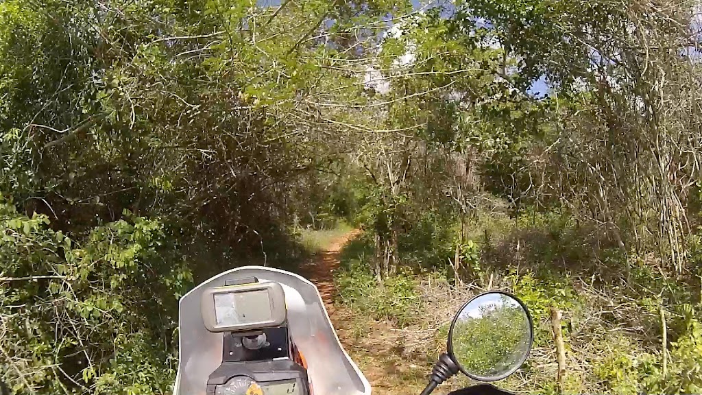
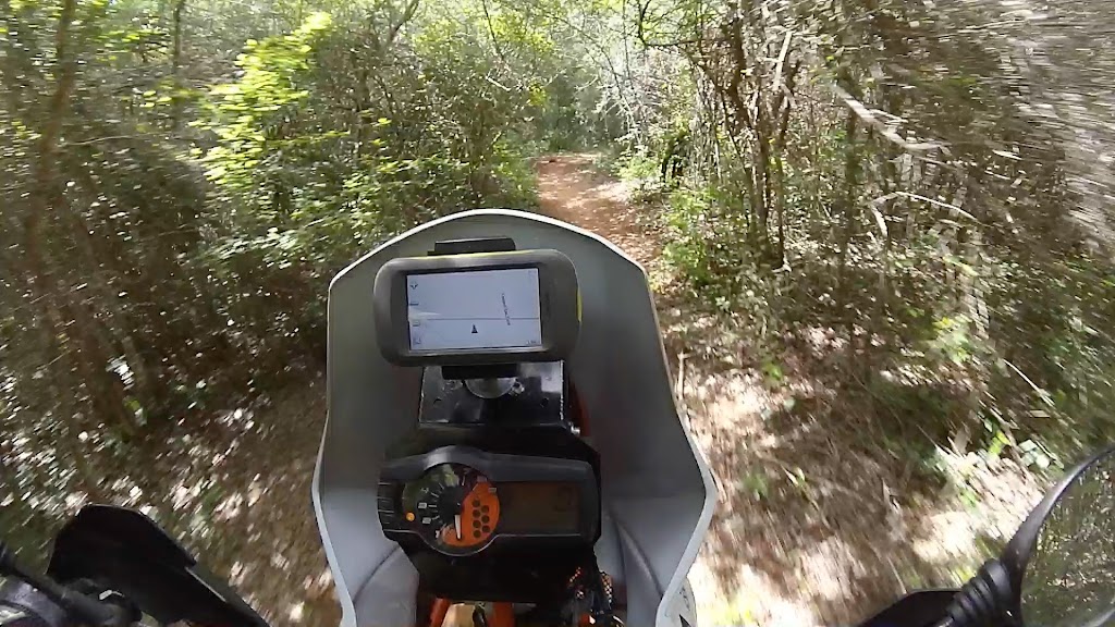
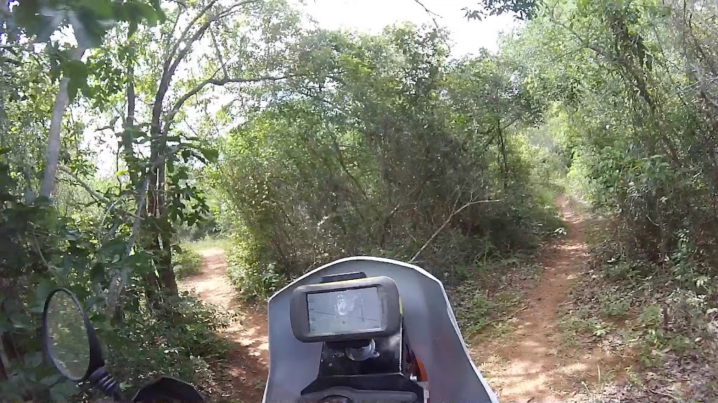
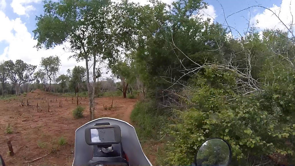
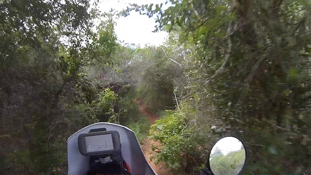
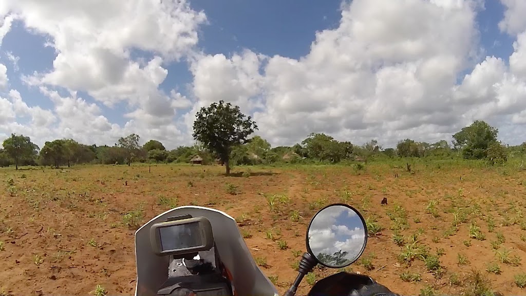
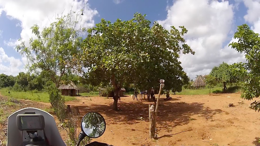
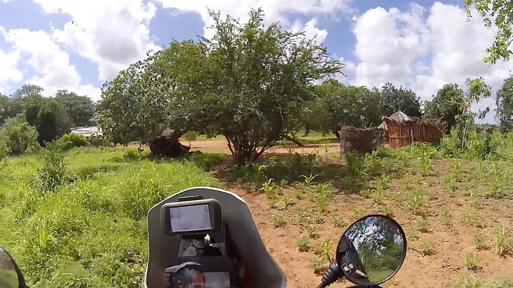
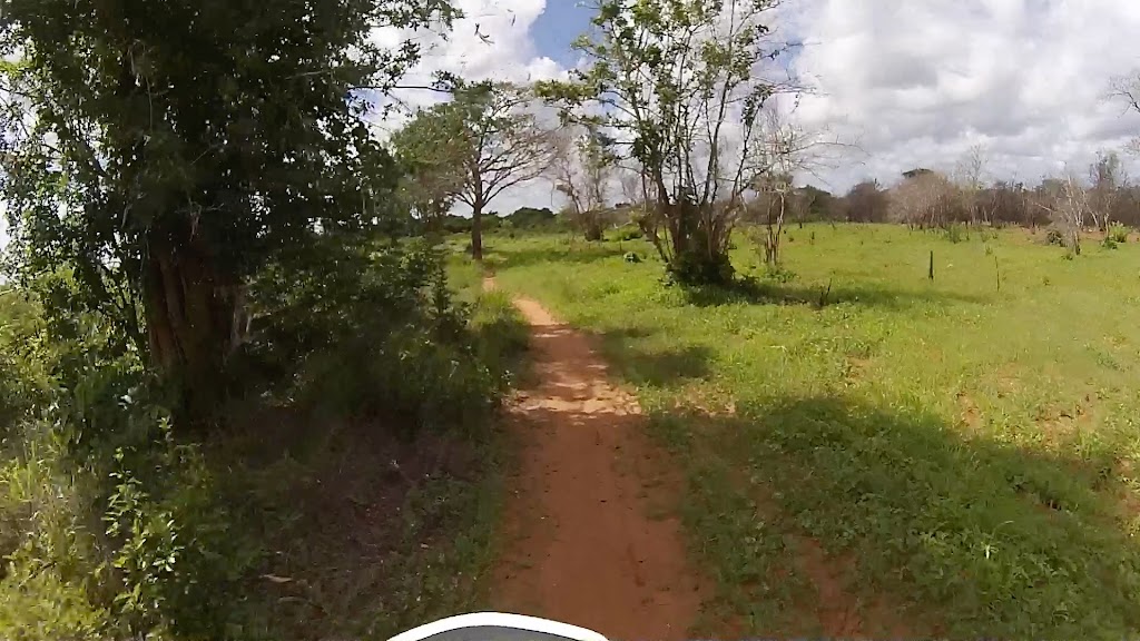
Eventually I found the main road, turned west again and pushed on
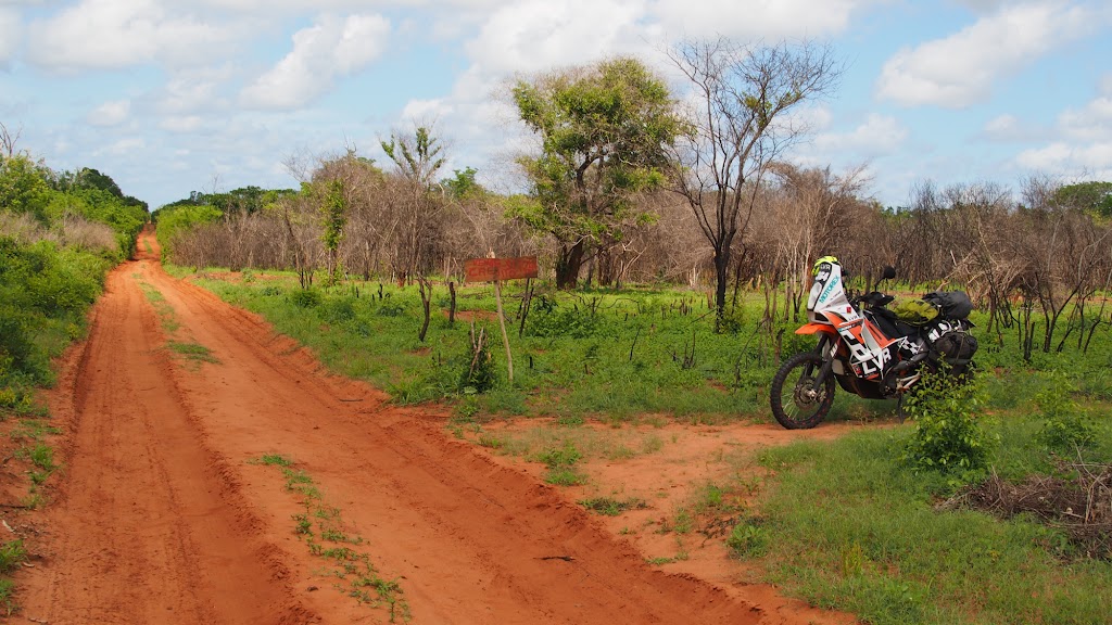
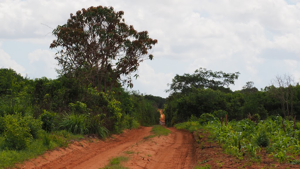
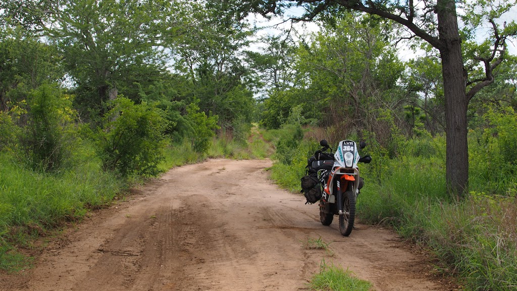
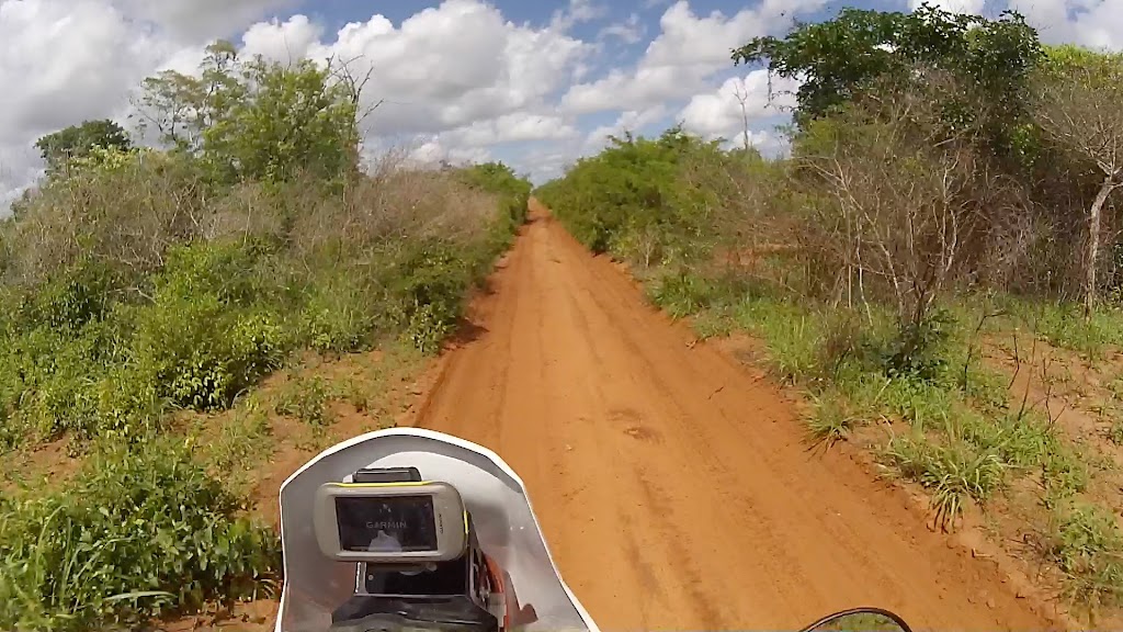
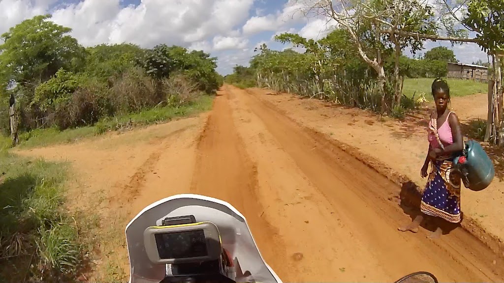
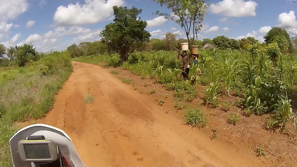
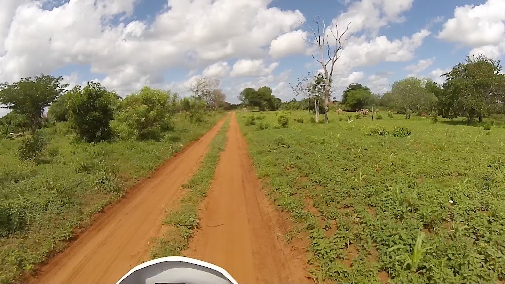
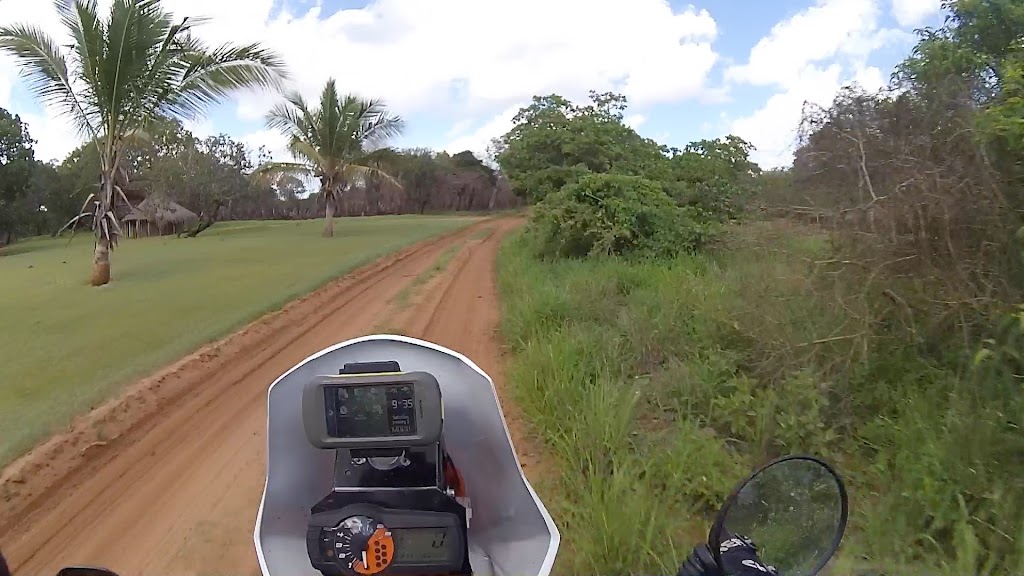
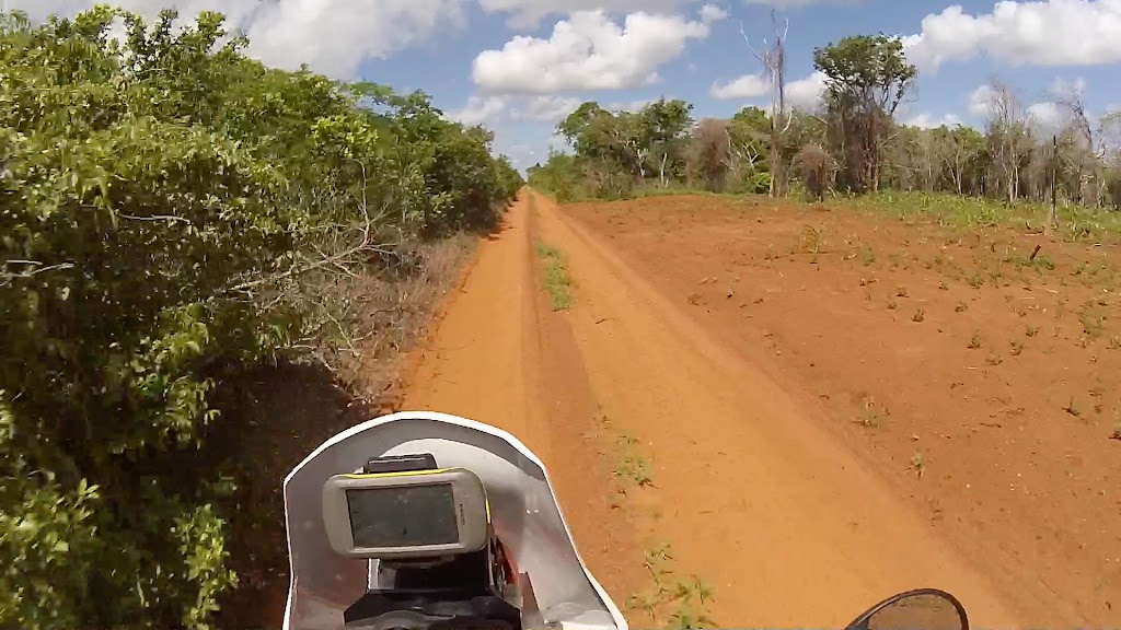
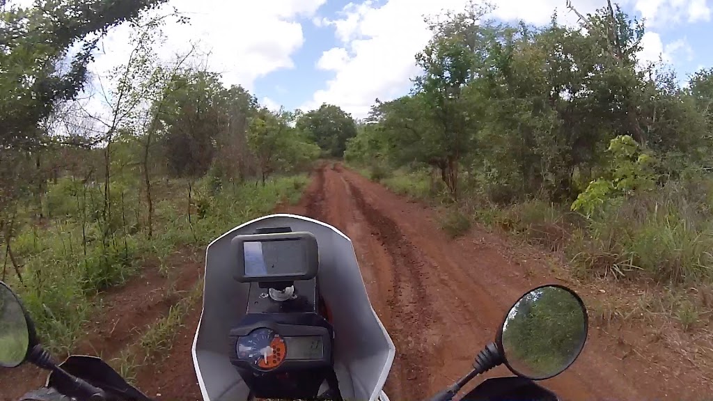
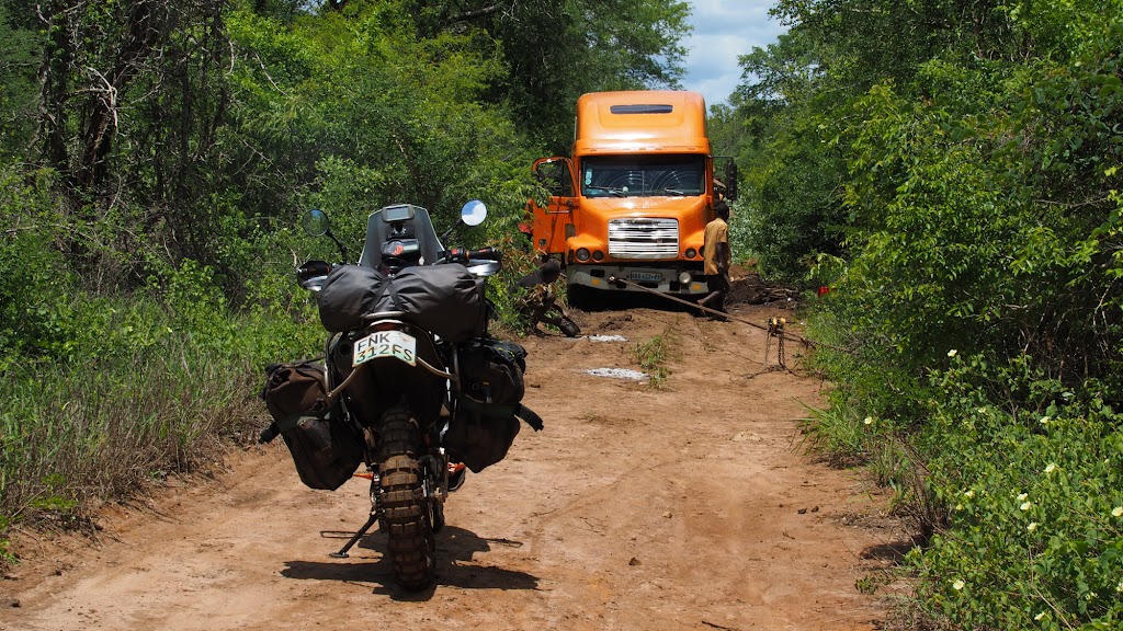
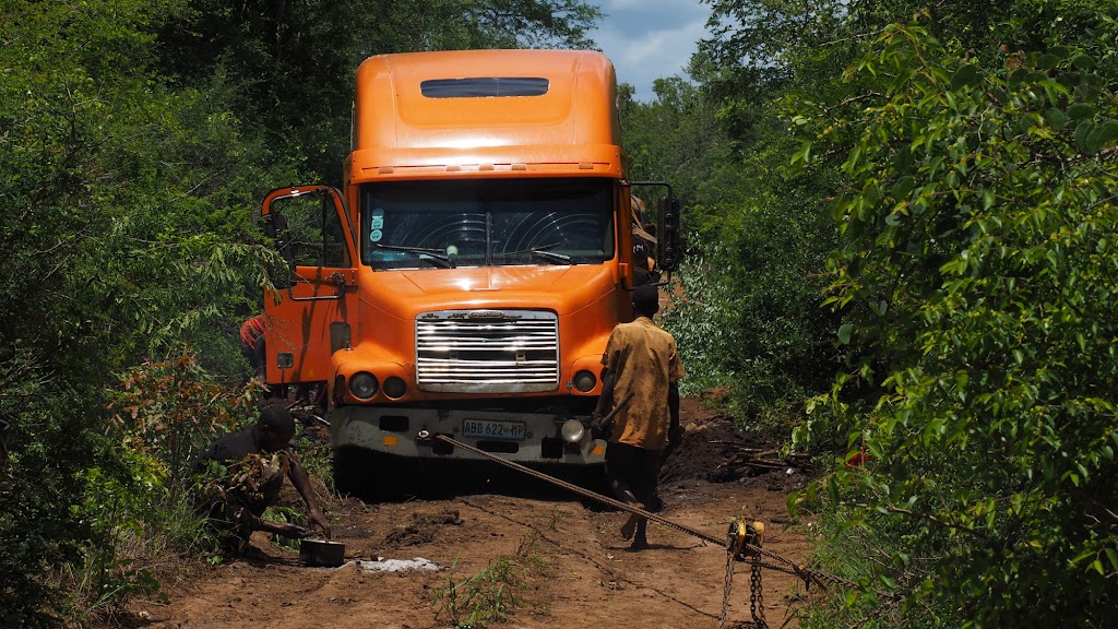
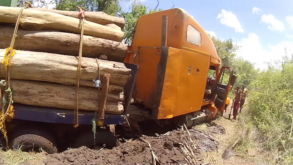
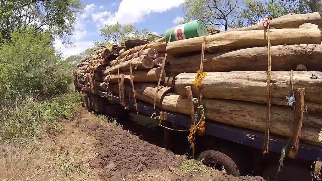
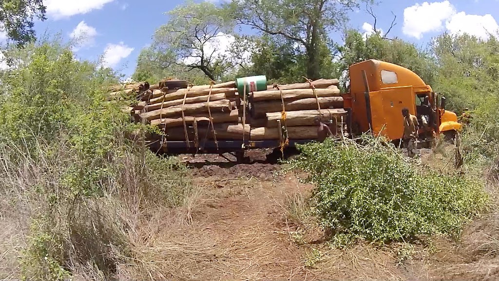
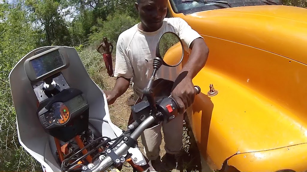
About 20 km later I was stopped by a local on bicycle telling me that there is a truck stuck on the road and I will not be able to pass. Being on bike I knew I will find a way and pushed on soon coming upon the truck. The crew has been there for 2 days now trying to find a way to get unstuck. They were running out of water so I gave them about a litre I could spare. After a bit of recon I passed the truck through the bush on the left, getting stuck for a bit between a bush and truck;
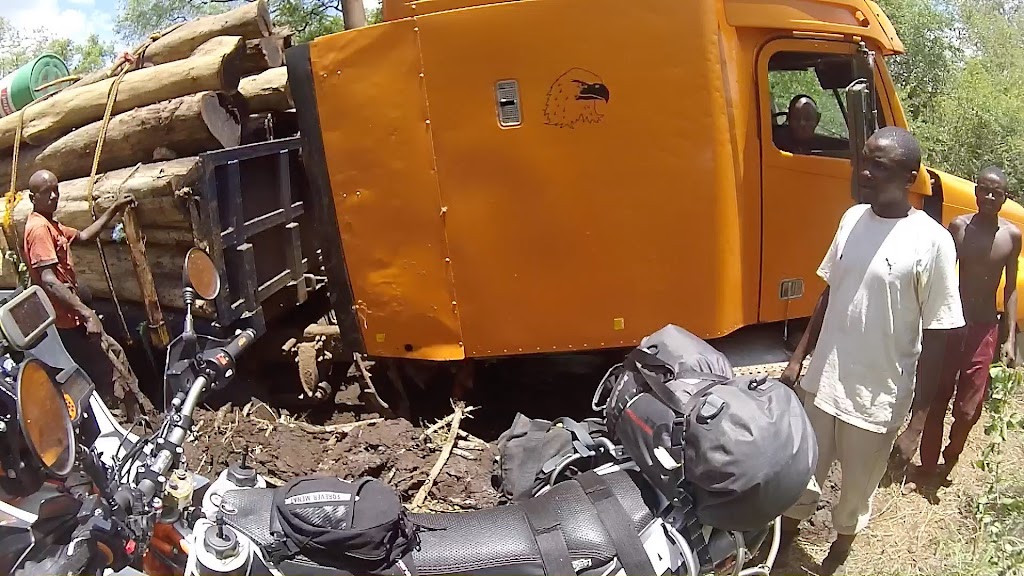
Once I cleared the truck I continued west following the GPS.
To be continued.
Keeping up the record of missing every single tourist highlight of my route so far (whale sharks swim in Tofo being the first one), I decided to skip Bazaruto islands – the main and probably only reason why people come to Vilanculos. I was way behind the schedule and keen for the change of scenery – there is only so long I can bum around beaches.
Next on the menu were Eastern Highlands in Zimbabwe. The plan was to head from Vilanculos north-west for the Espungabera border crossing on the little dirt roads I could see on Googlemaps, skirting the Zinave national park boundary along the way for some African game viewing. Like so:

It was about 450 km to Espungabera, so based on my record so far in Moz at least 3 days of ridding. However, I was moving inland away from the ocean (which I interpreted as away from the sand) and would be riding tracks that exist already and are routable on Googlemaps (contrary to most of the tracks along the coast that I had to plot myself), so I expected the roads to be gravel and hoped to make it to Zimbabwe in one day. As usually, I was wrong.
Despite my ambitious plan, I was not willing to forfeit the royal breakfast in the lodge and managed to set-off only after 8:00. At the outskirts of Vilanculos I caught up with a dude on BMW 650 Dakar with German plate. We stopped and chatted for a bit. Stephan (if I remember correctly) rode from Germany to India, shipped the bike to South Africa and was not on his return leg back to Germany. I gave him some pointers that I remembered from my trip down from Europe and we rode together for another 25 km or so north on EN1, where I turned on a road heading west.

To my surprise/dismay, the road turned out to be tar and after few km I found myself stopped in front of something completely out of place - a spaceship like factory with lots of intersecting shiny pipelines with hissing chimney’s, high fence and watchtowers. Officially it was a gas field, but I’m not stupid – I know a hidden lair of an evil trillionaire hell-bent on world dominance when I see one! The guards were well fed muscly pros, not the malnourished skinny jobbies normally masquerading as security in these parts of the world. And dead giveaway – they spoke English (probably ex-SAS)!
I informed them that they landed their spaceship in the middle of my route and WTF they intend to do about it. Unlike movie baddies, these had a sense of humour and politely directed me to the dirt road running along the circumference of the plant. On the other side there were couple of routes venturing into the bush in my intended direction – I took the best looking one. It run by 2 or 3 other gas fields and after the last one turned into single green lane running through the bush that clearly hasn’t been used for a while. I could see on GPS that I was not on my intended route, but this one was going west as well so I assumed it will sooner or later reconnect with my route and just continued.


Green lane behind the gas fields:


After about 10 km it was clear that it really isn’t used and it is actually starting to bear north away from my route, which was not about 10 km south. I didn’t want to go back so I just took a footpath into the bush heading in the general southern direction, dodging/crashing through gradually more and more dense trees and bushes.


I came upon number of little one family settlements (the reason for the foot paths) and stopped to ask the locals for direction. I’m not particularly social animal, but here in the bush I do turn into regular chit-chat. Luckily for the locals I don’t speak any Portuguese (and I’m not sure they do either here) so I couldn’t bother them for too long.


Eventually I found the main road, turned west again and pushed on


About 20 km later I was stopped by a local on bicycle telling me that there is a truck stuck on the road and I will not be able to pass. Being on bike I knew I will find a way and pushed on soon coming upon the truck. The crew has been there for 2 days now trying to find a way to get unstuck. They were running out of water so I gave them about a litre I could spare. After a bit of recon I passed the truck through the bush on the left, getting stuck for a bit between a bush and truck;


Once I cleared the truck I continued west following the GPS.
To be continued.
DirtyTeNeReLess
Bachelor Dog
good progress. eish that truck isnt going anywhere.
Day 12 – Part 2
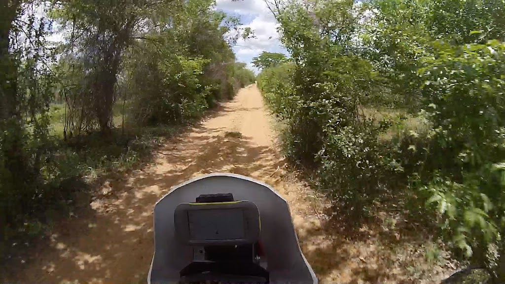
Another 20 or so km later I came to Comatela, where I asked for direction to Mabote, where I wanted to refuel. I had the route on GPS, but they recommended a different one – who am I to argue, so I just followed the road they pointed out.
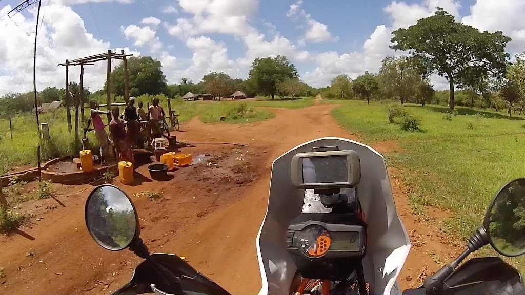
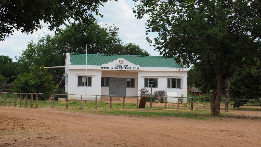
Pretty complicated intersection - locals had to be consulted for direction:
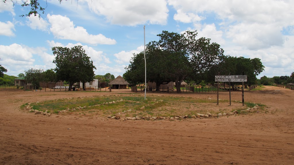
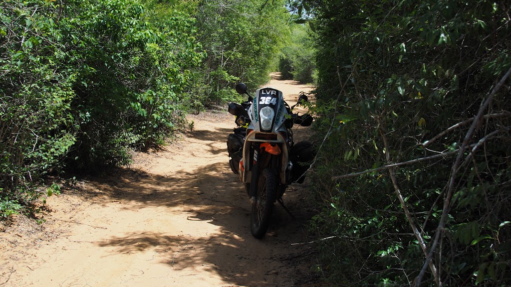
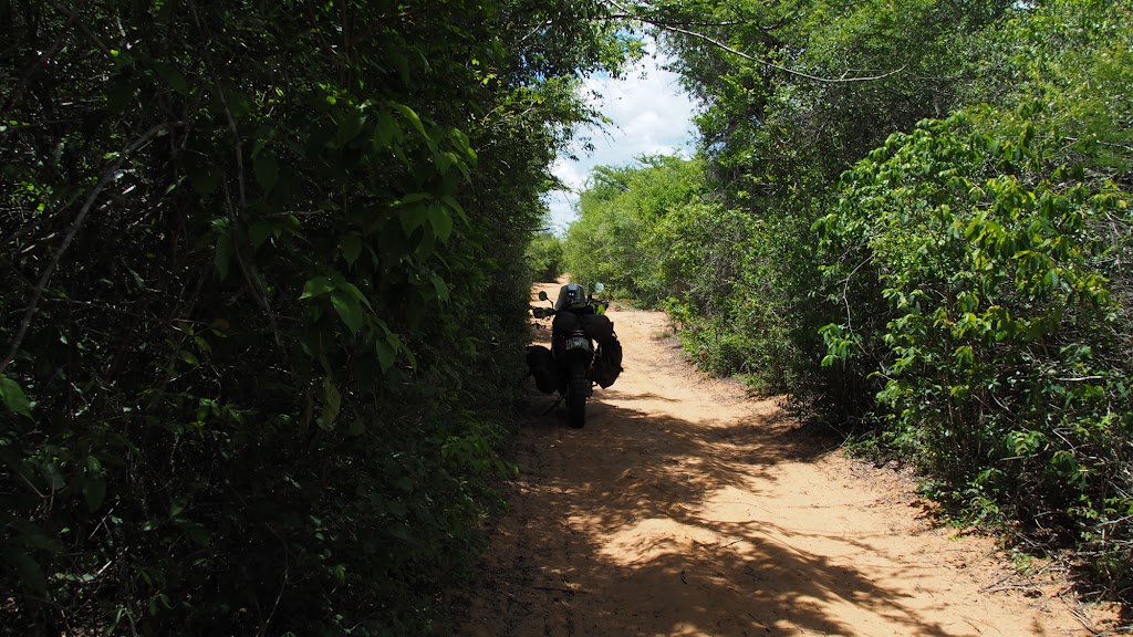
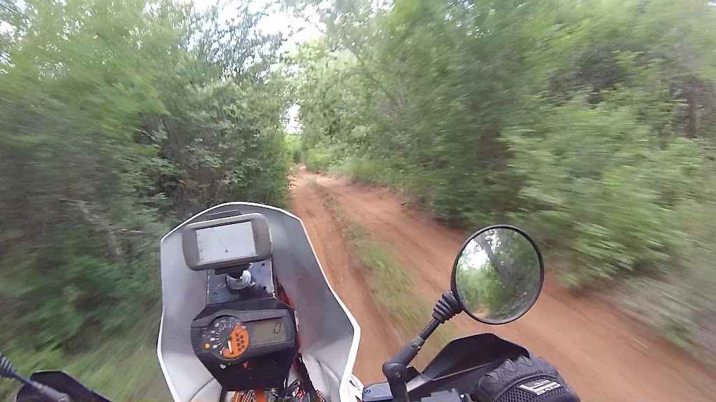
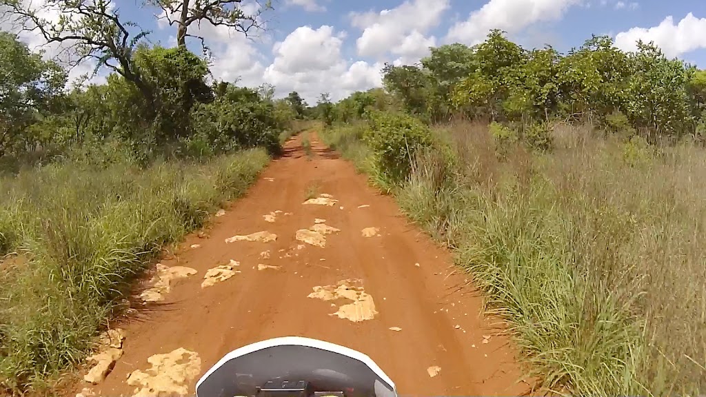
I pushed on in the general west direction – I didn’t have the track in the GPS so when I came upon one of many crossings (there was whole maize of what I believe are logging roads) I just chose the track going more or less in the right direction.
At one stop I found these:
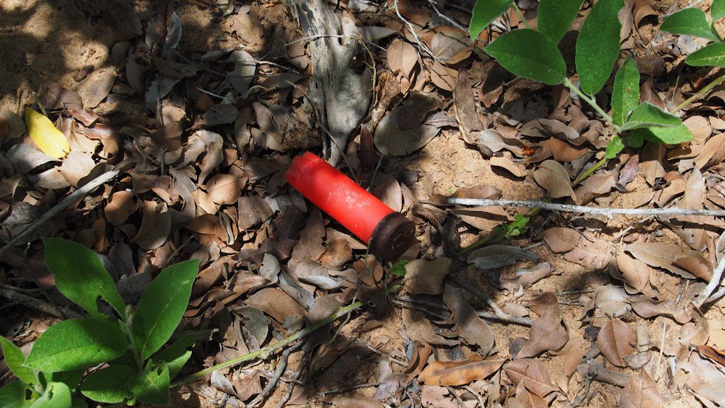
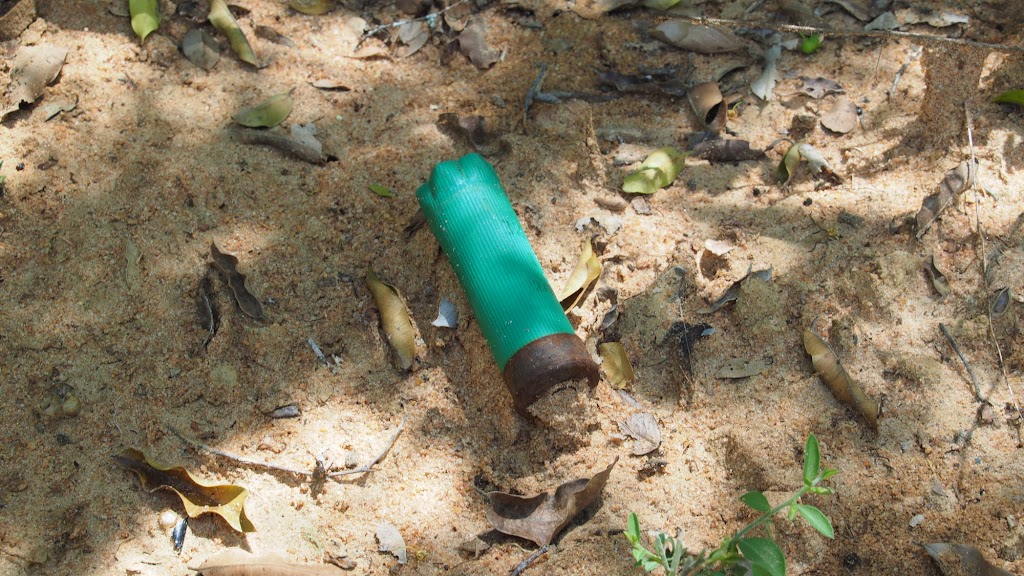
Seemed to explain one puzzle I was pondering for a while - with exception of what I think may be baboon tail disapearing in the bush, I haven't seen any animals. No little antelopes, no monkies, no warthog - nothing. Which was strange as I was riding deep in the middle of dense and very sparsely populated african bush - in remote places of Botswana or Namibia I would have encountered by now dozens of animals. The sad conclusion was that the bush has been eaten out. I didn't come to appreciate conservation efforts in Botswana, Namibia and SA fully until now. I hoped the situation will improve closer to tne NP (not that I was far), but it didn't. I understand that people have to eat, but in the process they are destroying one of the most precious resource they have which doesn't bode well for Moz future.
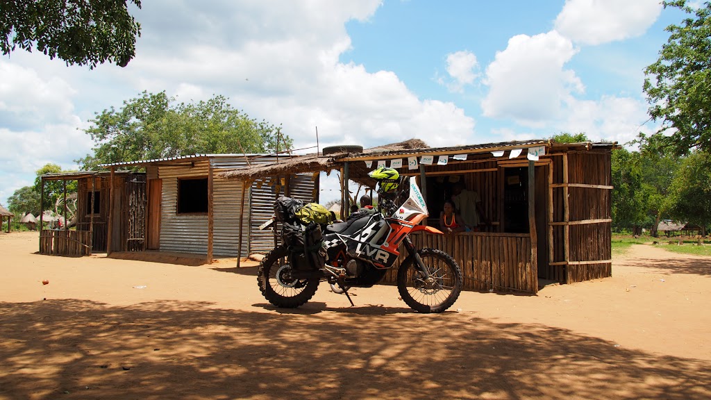
On the way I came upon few settlements here and there and stopped for a cold drink and chit chat in the spaza shop:
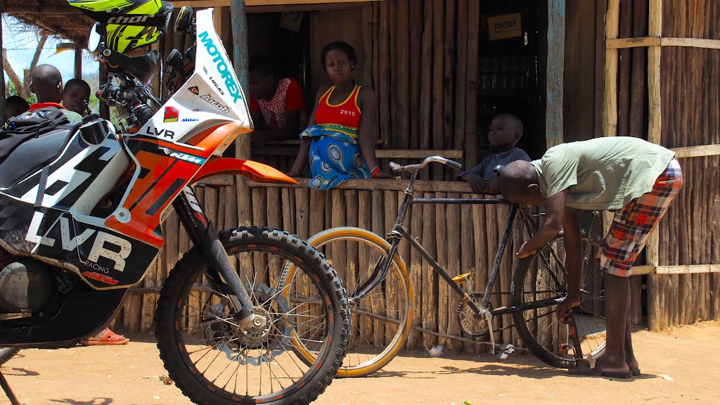
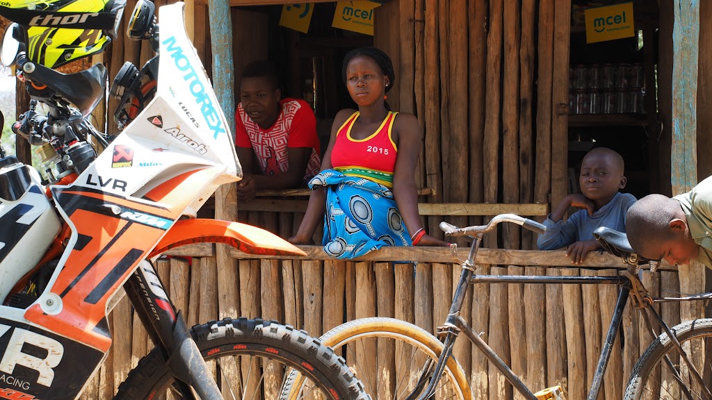
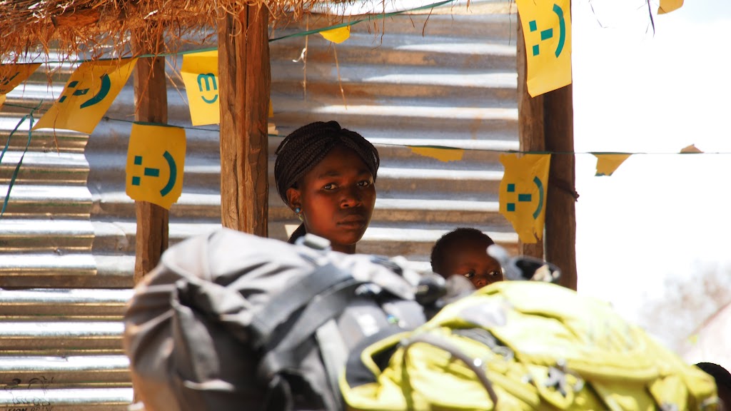
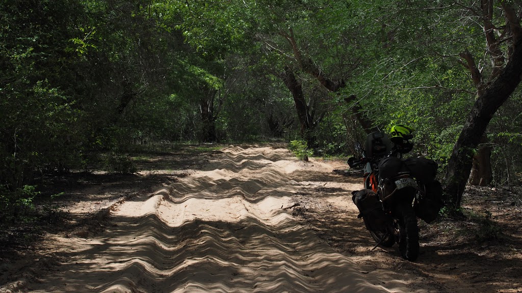
Just when I thought I’m almost done and about to hit the main north/south dirt road between Mabote and Zinave NP, I hit about 10 km of proper deep sand. I wasn’t thrilled as I was getting a bit tired, but made it through without a glitch and finally hit the main road.
The sand pit:
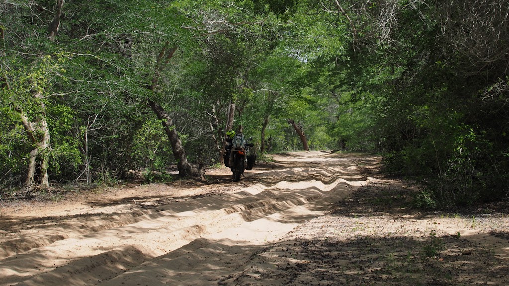
Main south north road between Mabote and Zinave NP:
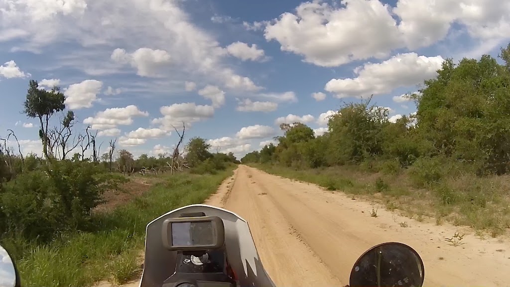
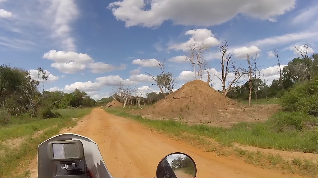
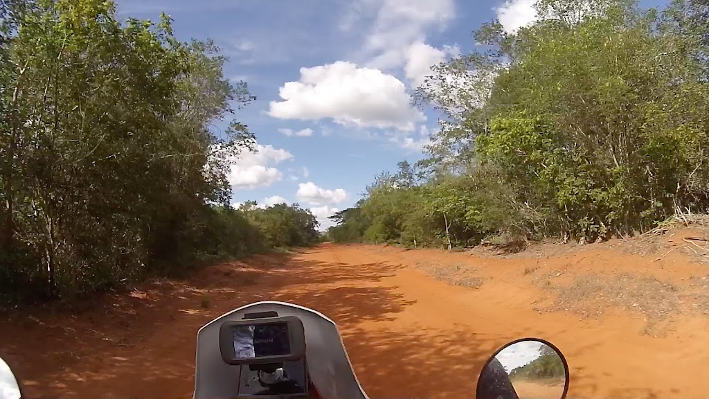
It was already late afternoon when I finally arrived to the dirt road. I decided to skip refuel in Mababe as it would require 100 km detour (50 km there and 50 km back) and my map was showing that there should be fuel in Massangena about 200 km west on the other side of Zinave NP. I have done so far about 160 km so thought I should be able to make it. So I turned right and headed for about 30 km north where at a T-junction I turned west again following track heading to the northern boundary of Zinave NP. After few km I have arrived to a junction – left heading to Zinave with a campsite indicated about 60 km away, right to a local village Jofane.
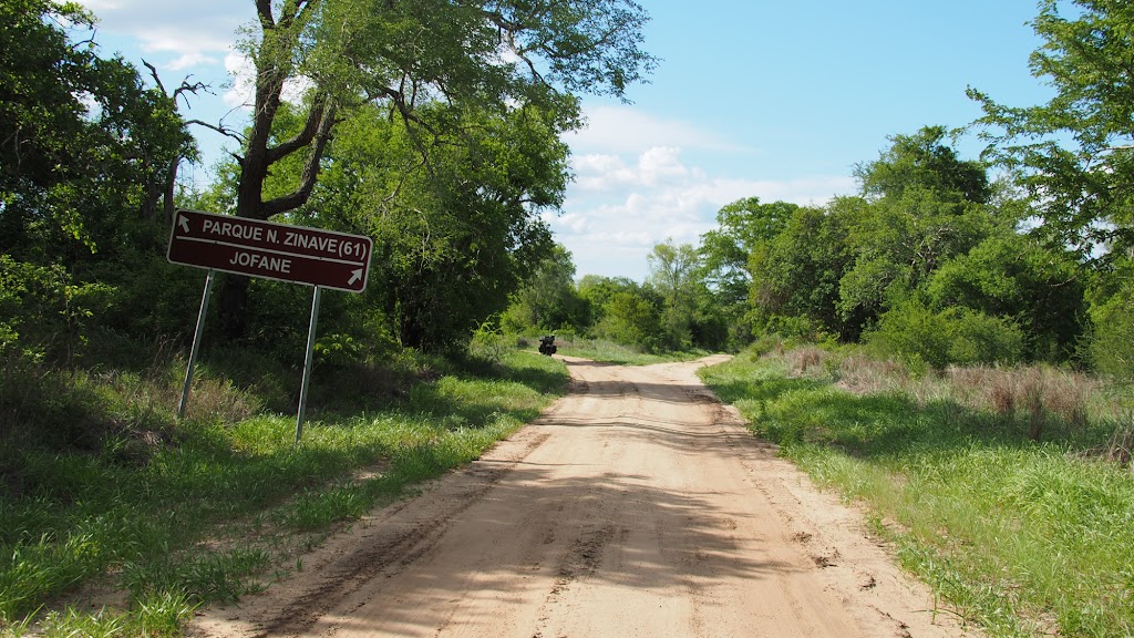
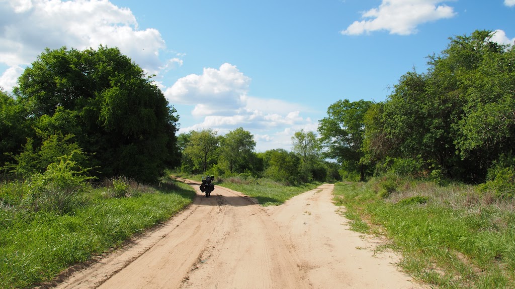
It was quite late now. The road to Zinave turned almost immediately to a deep-sand double track and I started to worry if I will be able to make it to the campsite still during daylight. I wasn’t keen to ride deep sand in darkness in what I expected to be prime Big 5 country. One worry led to another and I started wondering if I have enough water and fuel –normally I would expect at least 400 km from my 26 – 27 litre tanks combo, but remembering how I run out of petrol in mere 200 km in deep sand, I started to have my doubts. My map indicated petrol in Massengena about 130 km away, but seeing how remote the area was, I had some doubts about how much I can trust that.
Eventually I decided to take it easy and backtrack to Jofane about 10 km north of the road and see if I can score some supplies. I couldn’t find anybody in first few roundavels, but eventually found a nice family sitting outside the local clinic, who kindly gave me few litres of cold water straight from the fridge. Unfortunately they didn’t know about anybody around who may have any petrol available. They told me though that about village 40 km back east on the main dirt road (the one I connected to on a T Junction few km back) where they are selling petrol. With daylight diminishing quickly I jumped on the bike and gunned it east to re-fill before I will try to figure out where to crash for the night. The main road was good dirt road, and I gunned it through number of villages – but when I stopped to ask about the village with petrol they always send me further, with some random km distance indication. By now I passed the 40 km mark and realized the initial info was just a random thumbsuck – distance for people here is something foreign as most of them do not drive/ride have been mostly only two villages away from their home. And they all live under impression that my bike will get anywhere in 5 minutes (or 1 hour if it is Maputo 600 km away).
Needless to say I made it all the way back to the main EN1 highway about 80 km away, where I finally came upon the village I was looking for. There was no petrol station, but there was a dude selling petrol from the drum. The whole operation looked pretty dodgy and I contemplated while waiting in line if I really want to ride 400 km of deep African bush with lots of animals roaming around on something fishy. I decided not, jumped on the bike and gunned it in quickly diminishing sunlight40 km south on EN1 to a turnoff to Inassoro beach resort, where the map indicated petrol station. I have made it there just as the sun disappeared behind horizon. I filled my tanks as well as my 7 litre bladder. The Portuguese owner of the petrol was surprised when I told him about potential petrol in Massengena and said that South Africans farming in that area (yes they are quite a lot of them, which surprised me a bit considering that there are occasional shootouts between army and RENAMO rebels in the area) do come regularly all the way here with big drums to get their petrol – not a vote of confidence for my map. Once filled, I crashed for the night in the adjacent motel used mostly by truckers and other long distance drivers.
So, after day of hard riding - over 300 km mostly in dirt and sand, when I half expected to end up in Zimbabwe about 400 km away, I found myself about 40 km north of Vilankulos where I started in the morning. It’s been a while since I lost the plot like this.
Route ridden:
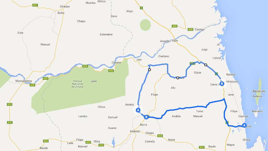
Another 20 or so km later I came to Comatela, where I asked for direction to Mabote, where I wanted to refuel. I had the route on GPS, but they recommended a different one – who am I to argue, so I just followed the road they pointed out.


Pretty complicated intersection - locals had to be consulted for direction:

I pushed on in the general west direction – I didn’t have the track in the GPS so when I came upon one of many crossings (there was whole maize of what I believe are logging roads) I just chose the track going more or less in the right direction.


At one stop I found these:


Seemed to explain one puzzle I was pondering for a while - with exception of what I think may be baboon tail disapearing in the bush, I haven't seen any animals. No little antelopes, no monkies, no warthog - nothing. Which was strange as I was riding deep in the middle of dense and very sparsely populated african bush - in remote places of Botswana or Namibia I would have encountered by now dozens of animals. The sad conclusion was that the bush has been eaten out. I didn't come to appreciate conservation efforts in Botswana, Namibia and SA fully until now. I hoped the situation will improve closer to tne NP (not that I was far), but it didn't. I understand that people have to eat, but in the process they are destroying one of the most precious resource they have which doesn't bode well for Moz future.
On the way I came upon few settlements here and there and stopped for a cold drink and chit chat in the spaza shop:


Just when I thought I’m almost done and about to hit the main north/south dirt road between Mabote and Zinave NP, I hit about 10 km of proper deep sand. I wasn’t thrilled as I was getting a bit tired, but made it through without a glitch and finally hit the main road.
The sand pit:


Main south north road between Mabote and Zinave NP:


It was already late afternoon when I finally arrived to the dirt road. I decided to skip refuel in Mababe as it would require 100 km detour (50 km there and 50 km back) and my map was showing that there should be fuel in Massangena about 200 km west on the other side of Zinave NP. I have done so far about 160 km so thought I should be able to make it. So I turned right and headed for about 30 km north where at a T-junction I turned west again following track heading to the northern boundary of Zinave NP. After few km I have arrived to a junction – left heading to Zinave with a campsite indicated about 60 km away, right to a local village Jofane.


It was quite late now. The road to Zinave turned almost immediately to a deep-sand double track and I started to worry if I will be able to make it to the campsite still during daylight. I wasn’t keen to ride deep sand in darkness in what I expected to be prime Big 5 country. One worry led to another and I started wondering if I have enough water and fuel –normally I would expect at least 400 km from my 26 – 27 litre tanks combo, but remembering how I run out of petrol in mere 200 km in deep sand, I started to have my doubts. My map indicated petrol in Massengena about 130 km away, but seeing how remote the area was, I had some doubts about how much I can trust that.
Eventually I decided to take it easy and backtrack to Jofane about 10 km north of the road and see if I can score some supplies. I couldn’t find anybody in first few roundavels, but eventually found a nice family sitting outside the local clinic, who kindly gave me few litres of cold water straight from the fridge. Unfortunately they didn’t know about anybody around who may have any petrol available. They told me though that about village 40 km back east on the main dirt road (the one I connected to on a T Junction few km back) where they are selling petrol. With daylight diminishing quickly I jumped on the bike and gunned it east to re-fill before I will try to figure out where to crash for the night. The main road was good dirt road, and I gunned it through number of villages – but when I stopped to ask about the village with petrol they always send me further, with some random km distance indication. By now I passed the 40 km mark and realized the initial info was just a random thumbsuck – distance for people here is something foreign as most of them do not drive/ride have been mostly only two villages away from their home. And they all live under impression that my bike will get anywhere in 5 minutes (or 1 hour if it is Maputo 600 km away).
Needless to say I made it all the way back to the main EN1 highway about 80 km away, where I finally came upon the village I was looking for. There was no petrol station, but there was a dude selling petrol from the drum. The whole operation looked pretty dodgy and I contemplated while waiting in line if I really want to ride 400 km of deep African bush with lots of animals roaming around on something fishy. I decided not, jumped on the bike and gunned it in quickly diminishing sunlight40 km south on EN1 to a turnoff to Inassoro beach resort, where the map indicated petrol station. I have made it there just as the sun disappeared behind horizon. I filled my tanks as well as my 7 litre bladder. The Portuguese owner of the petrol was surprised when I told him about potential petrol in Massengena and said that South Africans farming in that area (yes they are quite a lot of them, which surprised me a bit considering that there are occasional shootouts between army and RENAMO rebels in the area) do come regularly all the way here with big drums to get their petrol – not a vote of confidence for my map. Once filled, I crashed for the night in the adjacent motel used mostly by truckers and other long distance drivers.
So, after day of hard riding - over 300 km mostly in dirt and sand, when I half expected to end up in Zimbabwe about 400 km away, I found myself about 40 km north of Vilankulos where I started in the morning. It’s been a while since I lost the plot like this.
Route ridden:

DirtyTeNeReLess
Bachelor Dog
haha thats a pity, nice adventure. impressive loop you did there.
Similar threads
- Replies
- 8
- Views
- 480
- Replies
- 88
- Views
- 3K


