JHB to Sabie

This site may earn a commission from merchant affiliate links, including eBay, Amazon, and others.

Manic

Grumpy Mutt
WD Vendor
Joined
May 24, 2007
Messages
23,287
Reaction score
8,128
Location
ORANIA
Bike
BMW (all models)
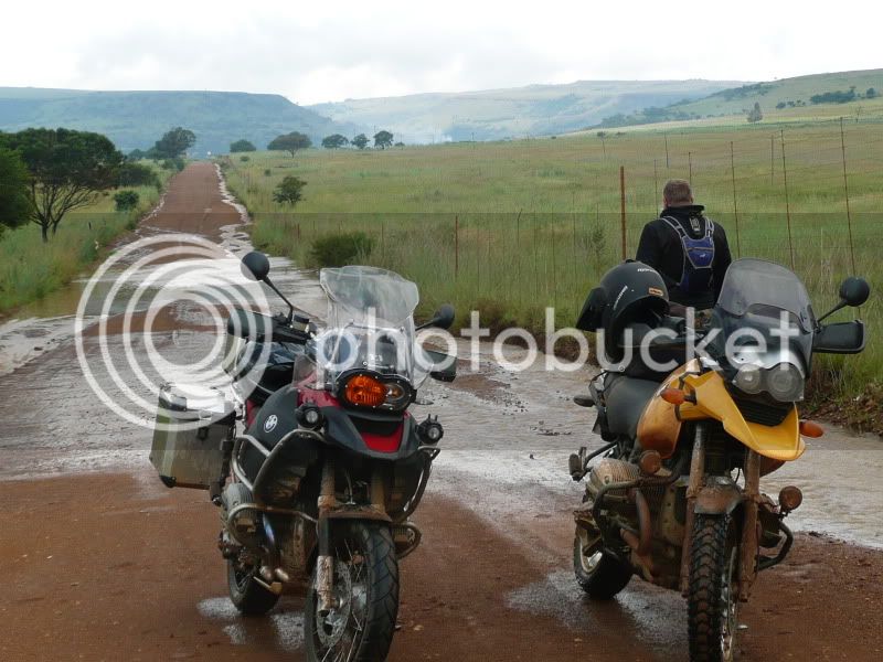
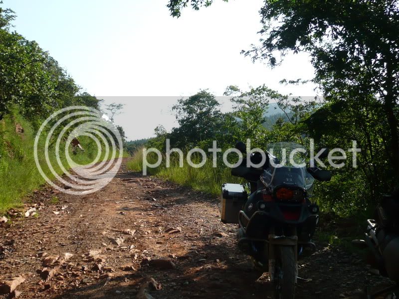
SO Sunday morning 05h00 myself, Paulb and TCS left for Sabie via gravel.

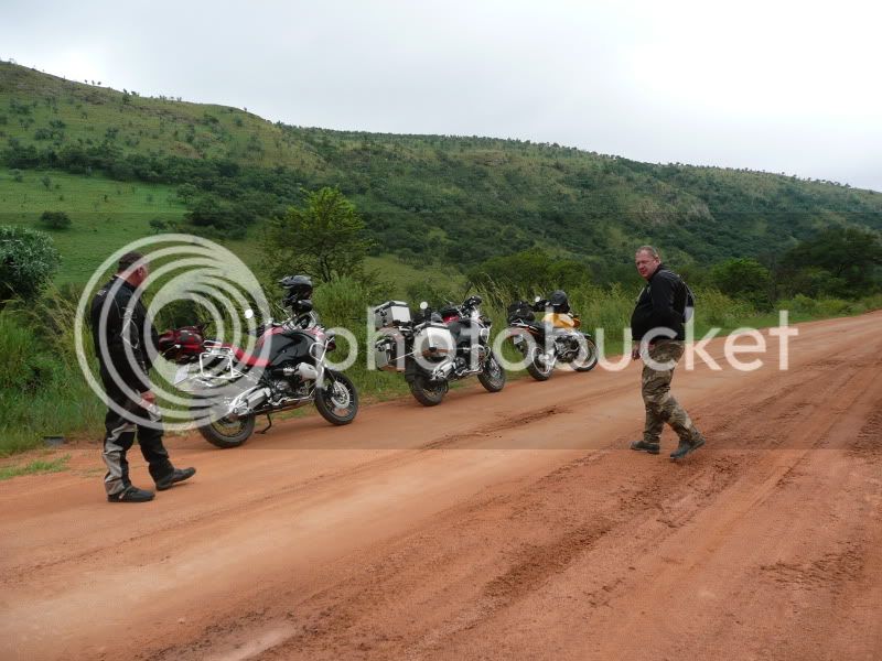
We started off at Rayton, where  we were on the gravel 98% of the time.

We went past Tonteldoos, yeah spelled right, one horse town bwahhaah, Loskopdam, and ended up in Dullstroom. There we had Pancakes at Harries. Paul turned around to go home at that stage, he had to work on Monday.

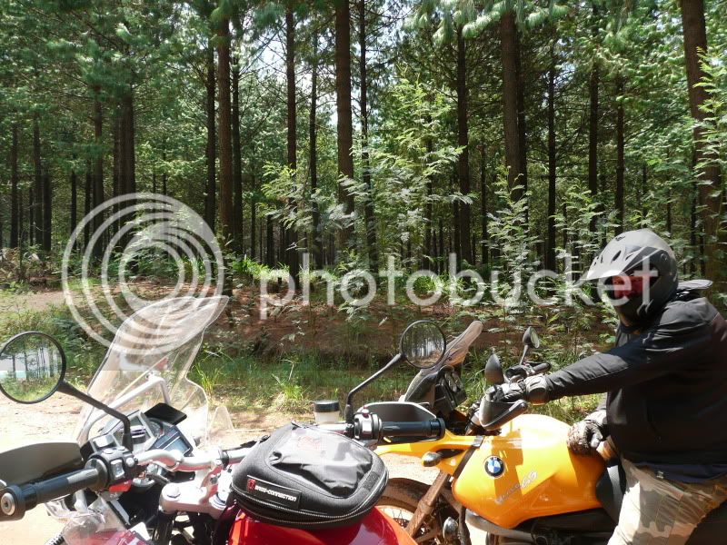
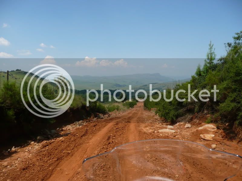
So TC and myself continued via gravel to Lydenburg. From Lydenburg we discovered a road going to Sudwala Caves. Awesome!!! The last 40km into Sabie we did on the tar.

Monday we played around the area on the dirt. There is awesome roads. Fast sweepers, technical, everything you can think off! All public roads, here and there we went onto plantation roads by mistake.

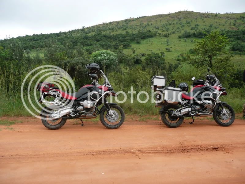
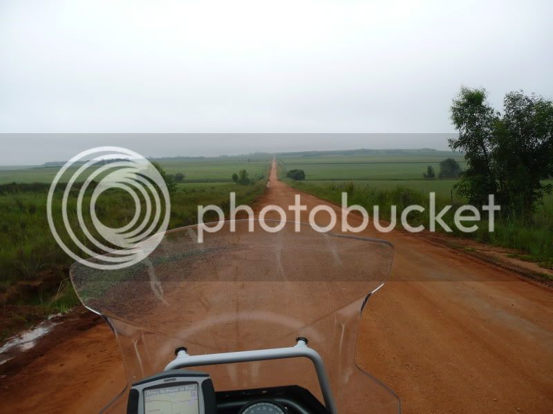
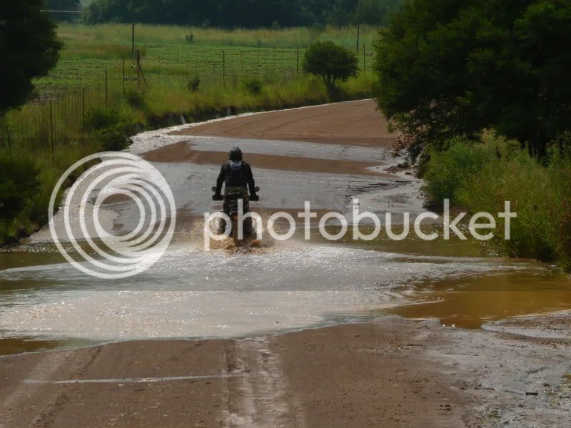
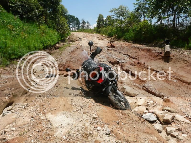
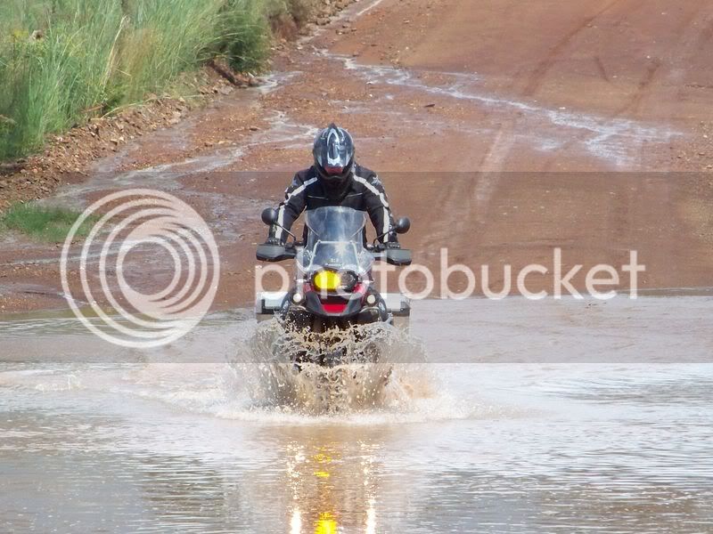
We then came back the same route again. But halfway to Lydenburg we got heavy mist. We rode with opur hazards on! Then it rained, and the road was like snot.

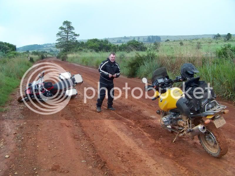
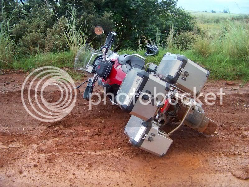
As per pics I took a dive twice, eish......

If the pig decides it is going down you are just a passenger. And with legs that are too short it ain't helping alot either

GSAGravelSabie069.jpg


GSAGravelSabie045.jpg


GSAGravelSabie032.jpg


GSAGravelSabie009.jpg


GSAGravelSabie003.jpg


GSAGravelSabie039.jpg


GSAGravelSabie026.jpg


GSAGravelSabie067.jpg


GSAGravelSabie005.jpg


GSAGravelSabie051.jpg


GSAGravelSabie2.jpg


GSAGravelSabie.jpg


GSASabiegravel3.jpg
 
Nice!! ;)

PS - In die laaste foto, hoekom staan jy en kyk af??? Mag dalk die probleem gewees het met die 2 valle ook?
 
GSing said:
Nice!! ;)

PS - In die laaste foto, hoekom staan jy en kyk af??? Mag dalk die probleem gewees het met die 2 valle ook?

Vorige ou het sy kamera in die water verloor, gedog ek sal hom sien as ek deur ry  :pot:

Lyk te naby, maar het verder gekyk. Vir die water gekyk. Wou nie he dit moes bo oor my helmet kom nie  :thumleft: Was al genoeg nat en my hele rug vol modder, so ek was so klein bietjie gatvol al teen daai tyd......  :biggrin:

Ek leer maar nog tjom, maar aanvaar enige raad en advies  :thumleft:  :thumleft:
 
I was at the Doctor today. My foot turned blue  ???

I had minor scrapes on my leg, he said it turned into a heavy infection. Did the X ray thing the whole tootie, he thought I had a fracture at first.

But now everything is cool. He gave me some lekke pills for low flying  :imaposer:
 
Lekker trip daar Manic - daai Anakees hou nie van modder, soos Ama se, TKC voor en jy kan 120km/h met gemak in die modder doen >:D
 
AdventureBoy said:
Any chance of posting the GPS route?

I don't know how.

Can't even get my GPS to connect to my computer  >:D Don't have the correct software  >:D
 
You can send the GPS to me and I will sort it out!!!!

Seriously, I have been down to White River on my bike and tried to stick to dirt, but as I got near Nelspruit I was blocked from going into the forests and had to go on tar. I did not have enough time to explore, so hoped to get a head start for the next time I go.
 
As you come into Lydenburg from Dullstroom side. You get to the T junction, left is Lydenburg, right is Machadodorp. Turn right, 200m there is a gravle road turning out left. Take that road, it will be on your GPS. That road comes out by the Caves. That was the best road of the trip.

The one from Rayton to Lydenburg is not so easy to explain!
Will try make a plan with the GPS for you  :thumleft:
 
Manic said:
As you come into Lydenburg from Dullstroom side. You get to the T junction, left is Lydenburg, right is Machadodorp. Turn right, 200m there is a gravle road turning out left. Take that road, it will be on your GPS. That road comes out by the Caves. That was the best road of the trip.

I guess this is the road via Mokobulaan Pass (S25.27107 E30.52579), past Wonderkloof Nature Reserve (S25.34022 E30.60379) and Sylvania (S25.36649 E30.67486) all the way to Sudwala Caves (S25.36898 E30.69941).

:thumleft: :thumleft:
 
Top