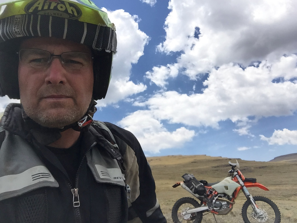
I have ridden Lesotho quite a few times before, and have done most of the main dirt and tar roads frequented by the adv crowd. Unlike most though, I have always left feeling a bit shortchanged.
Main reasons were too little time spent there - most trips were the usual 3 - 4 day long weekend dash across the country, and using wrong bike for the job. I have ridden it mostly on big heavy adventure bikes like GSA and XT660Z, that in combination with my not highly developed riding skills limited any exploration off the beaten track and forced me to stick to the main roads. Still, from one short stint on - admittedly heavy - dual sport (Husky TE630), it was clear that the place has huge potential for proper off the beaten track exploration in fantastic - though tough - riding terrain.
Edit: GPS tracks are attached in my follow up post titled 'GPS TRACKS'
So the plan this time was to take enough time and do it right: stay off the main roads following mostly cattle tracks, and use a proper dual sport bike for the job. Dual sport in the original sense of the word - i.e. plated enduro bike with minimum camping gear strapped to its back allowing to survive a night or three out in the mountains if necessary.
Here is what I got for the job:
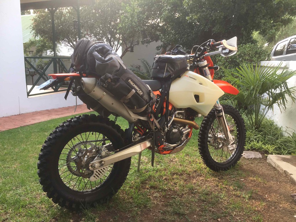
The tentative timeframe was 2 weeks. Typically, I got carried away planning the route and came up with too ambitious plan consisting roughly of three parts:
Part 1: Getting from Monantsa via Sani Pass to Sehlabathebe cross country following as much as possible the cattle tracks along the Drakensberg escarpment some of which I have plotted myself and some of which IanTheTooth have kindly provided.
Part 2: Cross the mountains from Sehonkong to Semonkong and then explore south of Semonkong, including Adam Kok’s road IanTheTooth brought to our attention on WD in this thread (https://wilddog.net.za/forum/index.php?topic=213242.0)
Part 3: Explore the passes around Semonkong, then cross via Mohale to Katse dam on tracks Losper and his gang plotted some time ago, and then get back to SA via some cross country tracks I have plotted between Katse and Butha Buthe.
Getting ready for the departure on the 1st of November, I had a brainfart and checked the weather forecast. I was ready for a heat stroke, but the real risk turned out to be the exact opposite - hypothermia from freezing night temperatures, with a risk of lightning strike just to round things up:
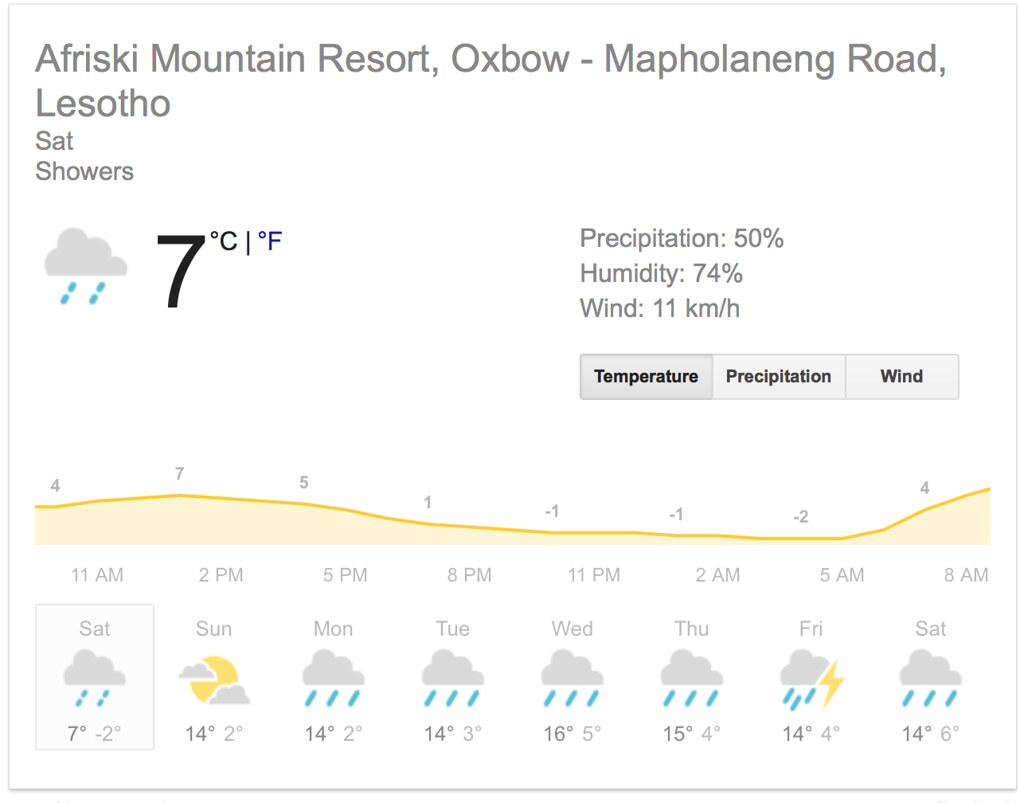
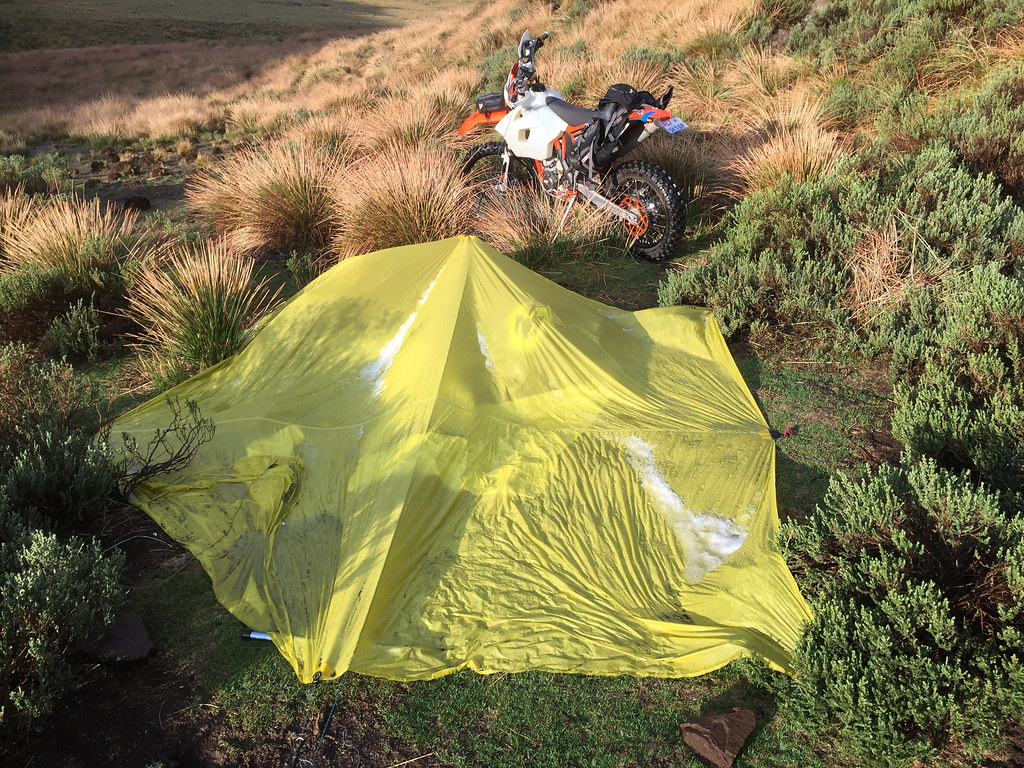
So I freaked, run out and splashed money on super duper low temperature sleeping bag, just to realize shortly afterwards that I cannot squeeze it in with all the other stuff I deemed absolutely necessary (part of which I ended up leaving behind anyway later on). Thinking it through (I usually buy first and think later), I stuck with my much smaller summer sleeping bag. Remembering that no sleeping bag is going to protect me from cold ground I replaced Klymit Static V mattress I usually carry (because it packs really small - but is absolutely useless in low temps) for Thinsulate one, which is great in cold, but packs about double the size. I was already packing a reflective survival bivvy bag I bought from US and another small waterproof bivvy bag to stay dry anyway, so hoped that multiple layers will compensate for the inadequate sleeping bag even in freezing temperatures. For shelter I took super-duper lightweight (and expensive) tarp I bought few months back for a hiking trip back in Europe.
With all that sorted, I loaded the bike on a bakkie and headed down to Monantsa, where I looked for a place where I could leave the car for the duration of the trip. The main recommendation Basotho Cultural Village fell through as they were closed for reconstruction, but I eventually found lovely establishment called Sunnyside farm, where I spent the night. The owner, 90 year old lady who has been running the place for last 60 years, kindly let me leave the car there for the next two weeks.
Spoiler alert: As expected I have came way too short on my plan mostly due to abject lack of skill and adverse weather. In those two weeks I have managed to ride only Part 1 - and even that I didn’t complete fully. Still, I had a great time, done some fantastic riding - especially considering how much out of my depth I was, and finally discovered the hidden charm of Lesotho, that eluded me before. I will definitely be back for more.
Here is the quick pictorial synopsis of the trip for those not disposed well to reading long reports (and just in case I don’t finish this in time as I’m leaving for another trip next week):
Failed straight away within a first km or 2 of the good stuff trying to get from Monantsa to Afri Ski:
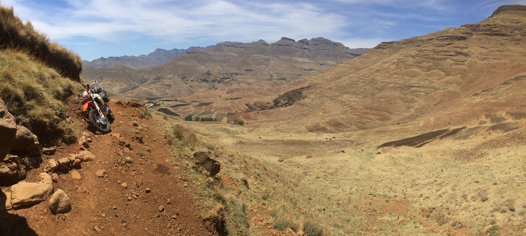
Regrouped, roped in Afri Ski manager (and multiple bronze Roof finisher) Martin and tried again from the other side - no bueno either:
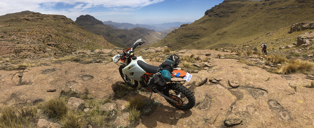
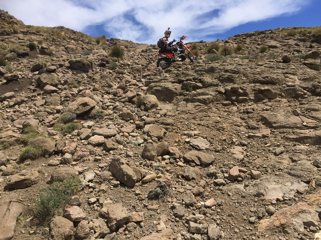
Did few loops from Afri Ski to the Drakensberg escarpment:
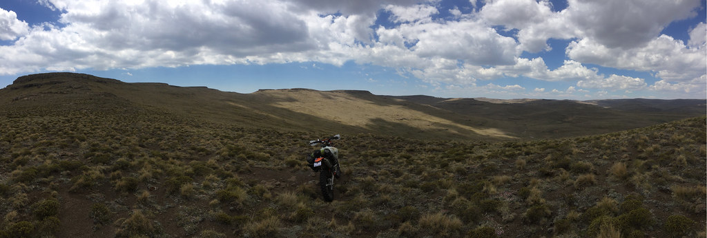

Crawled under a rock or two trying to not get hit by lightning:

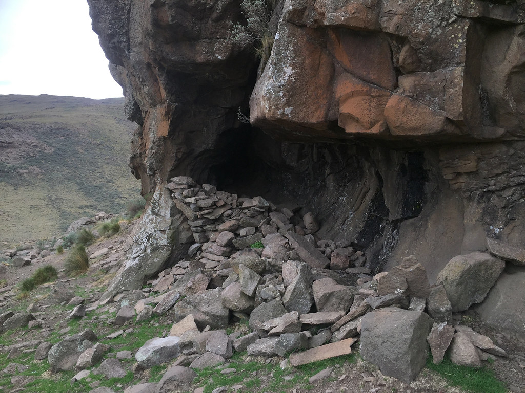
Failed at bushcraft:
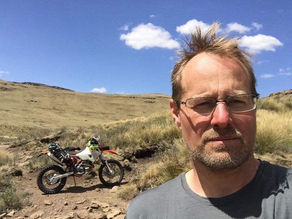
Got the face burned off - again. Who needs sunscreen for riding in 3 km altitude?
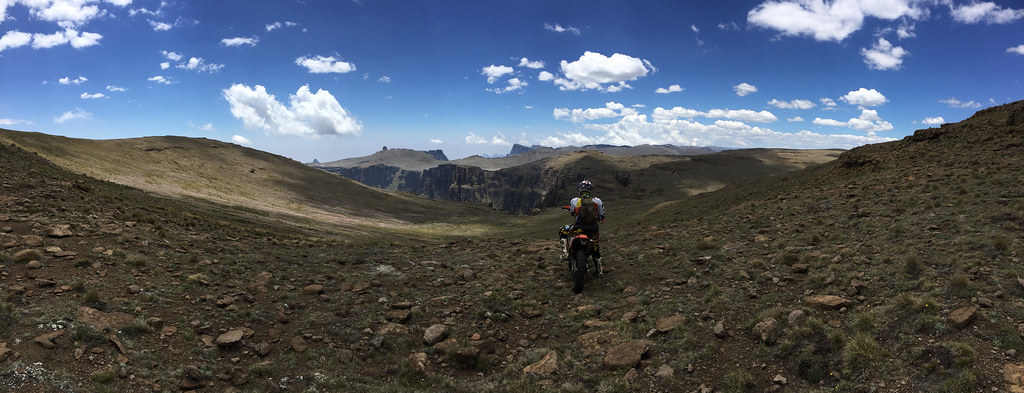
Managed to make it to the source of Orange river:
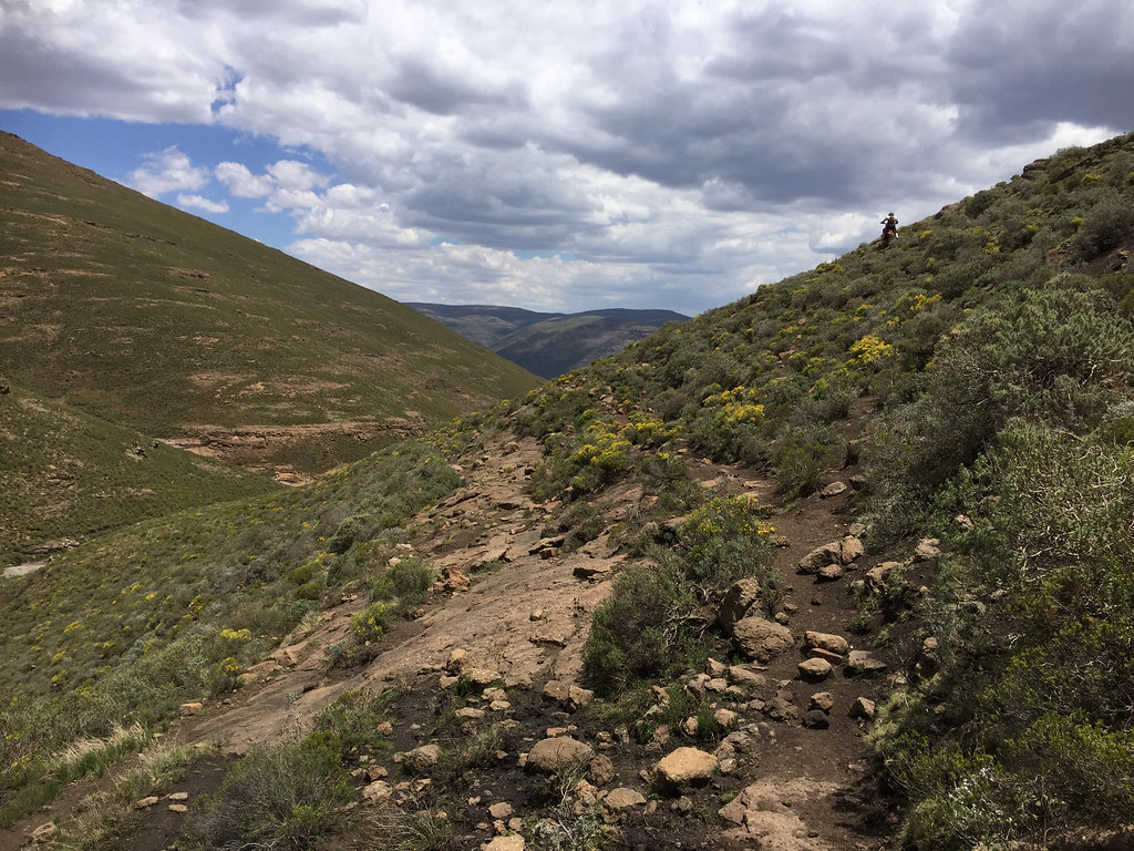
And almost didn’t make it out:
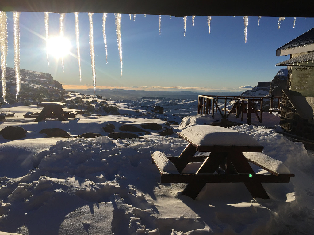
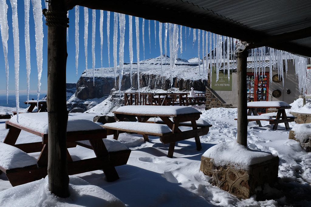
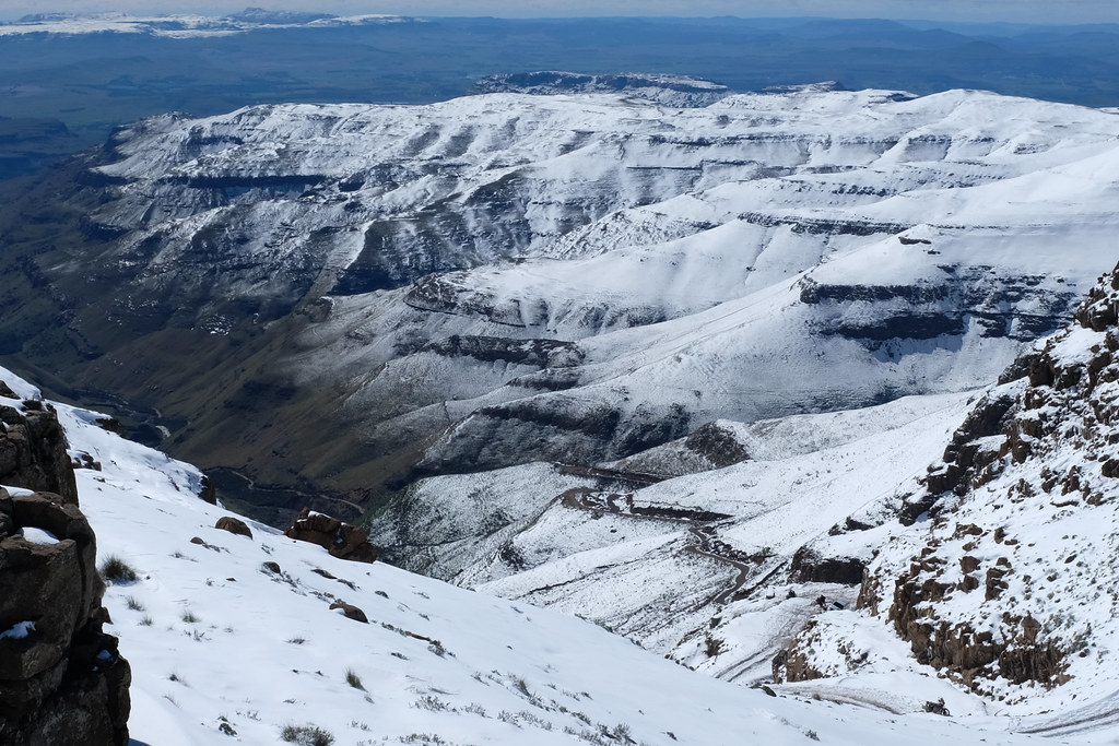
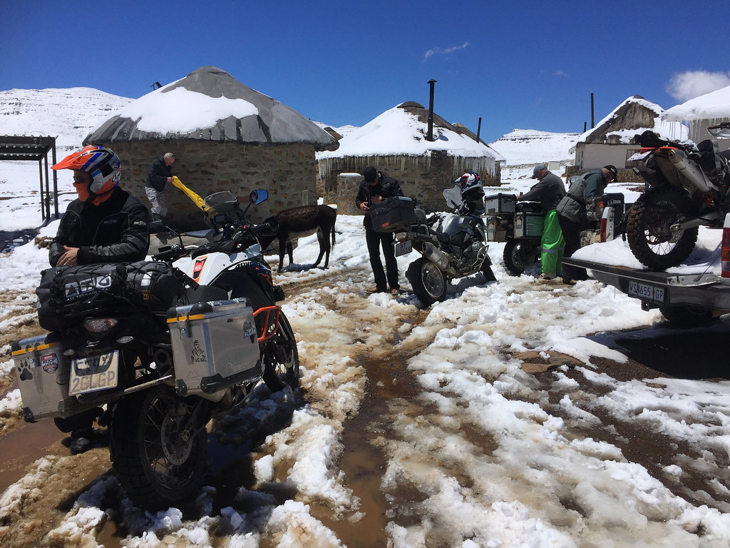
Got caught up by early Christmas (at least Christmas as us folks from northern hemisphere are used to it):
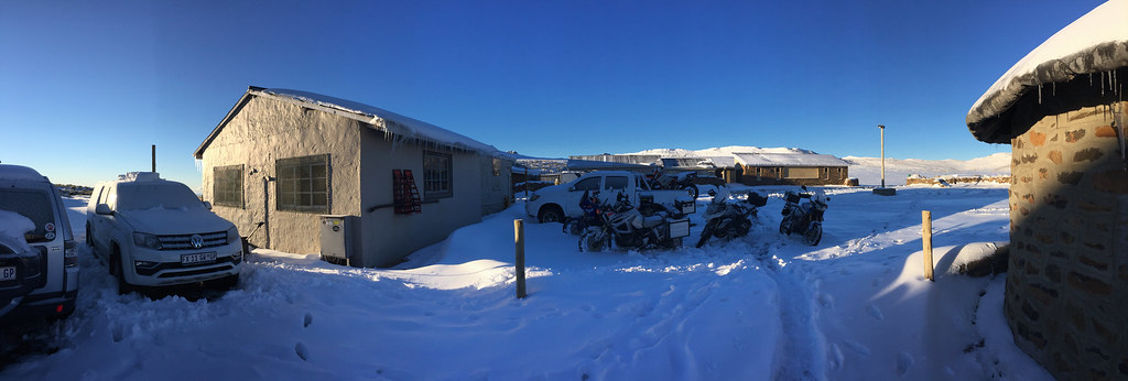
Bumped into some WDs:
Made it to the highest point in Africa south of Kilimanjaro:


And failed again half-way through to Sehlabathebe
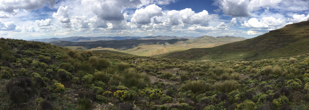
Here is the link to the gallery for your viewing pleasure as some of those panoramas will come out probably too small on WD site: https://flic.kr/s/aHsm9wwwxU
Main reasons were too little time spent there - most trips were the usual 3 - 4 day long weekend dash across the country, and using wrong bike for the job. I have ridden it mostly on big heavy adventure bikes like GSA and XT660Z, that in combination with my not highly developed riding skills limited any exploration off the beaten track and forced me to stick to the main roads. Still, from one short stint on - admittedly heavy - dual sport (Husky TE630), it was clear that the place has huge potential for proper off the beaten track exploration in fantastic - though tough - riding terrain.
[youtube]https://www.youtube.com/watch?v=If-WqzuVJk0[/youtube]
Edit: GPS tracks are attached in my follow up post titled 'GPS TRACKS'
So the plan this time was to take enough time and do it right: stay off the main roads following mostly cattle tracks, and use a proper dual sport bike for the job. Dual sport in the original sense of the word - i.e. plated enduro bike with minimum camping gear strapped to its back allowing to survive a night or three out in the mountains if necessary.
Here is what I got for the job:

The tentative timeframe was 2 weeks. Typically, I got carried away planning the route and came up with too ambitious plan consisting roughly of three parts:
Part 1: Getting from Monantsa via Sani Pass to Sehlabathebe cross country following as much as possible the cattle tracks along the Drakensberg escarpment some of which I have plotted myself and some of which IanTheTooth have kindly provided.
Part 2: Cross the mountains from Sehonkong to Semonkong and then explore south of Semonkong, including Adam Kok’s road IanTheTooth brought to our attention on WD in this thread (https://wilddog.net.za/forum/index.php?topic=213242.0)
Part 3: Explore the passes around Semonkong, then cross via Mohale to Katse dam on tracks Losper and his gang plotted some time ago, and then get back to SA via some cross country tracks I have plotted between Katse and Butha Buthe.
Getting ready for the departure on the 1st of November, I had a brainfart and checked the weather forecast. I was ready for a heat stroke, but the real risk turned out to be the exact opposite - hypothermia from freezing night temperatures, with a risk of lightning strike just to round things up:

So I freaked, run out and splashed money on super duper low temperature sleeping bag, just to realize shortly afterwards that I cannot squeeze it in with all the other stuff I deemed absolutely necessary (part of which I ended up leaving behind anyway later on). Thinking it through (I usually buy first and think later), I stuck with my much smaller summer sleeping bag. Remembering that no sleeping bag is going to protect me from cold ground I replaced Klymit Static V mattress I usually carry (because it packs really small - but is absolutely useless in low temps) for Thinsulate one, which is great in cold, but packs about double the size. I was already packing a reflective survival bivvy bag I bought from US and another small waterproof bivvy bag to stay dry anyway, so hoped that multiple layers will compensate for the inadequate sleeping bag even in freezing temperatures. For shelter I took super-duper lightweight (and expensive) tarp I bought few months back for a hiking trip back in Europe.
With all that sorted, I loaded the bike on a bakkie and headed down to Monantsa, where I looked for a place where I could leave the car for the duration of the trip. The main recommendation Basotho Cultural Village fell through as they were closed for reconstruction, but I eventually found lovely establishment called Sunnyside farm, where I spent the night. The owner, 90 year old lady who has been running the place for last 60 years, kindly let me leave the car there for the next two weeks.
Spoiler alert: As expected I have came way too short on my plan mostly due to abject lack of skill and adverse weather. In those two weeks I have managed to ride only Part 1 - and even that I didn’t complete fully. Still, I had a great time, done some fantastic riding - especially considering how much out of my depth I was, and finally discovered the hidden charm of Lesotho, that eluded me before. I will definitely be back for more.
Here is the quick pictorial synopsis of the trip for those not disposed well to reading long reports (and just in case I don’t finish this in time as I’m leaving for another trip next week):
Failed straight away within a first km or 2 of the good stuff trying to get from Monantsa to Afri Ski:

Regrouped, roped in Afri Ski manager (and multiple bronze Roof finisher) Martin and tried again from the other side - no bueno either:


Did few loops from Afri Ski to the Drakensberg escarpment:


Crawled under a rock or two trying to not get hit by lightning:


Failed at bushcraft:

Got the face burned off - again. Who needs sunscreen for riding in 3 km altitude?

Managed to make it to the source of Orange river:

And almost didn’t make it out:

Got caught up by early Christmas (at least Christmas as us folks from northern hemisphere are used to it):


Bumped into some WDs:


Made it to the highest point in Africa south of Kilimanjaro:


And failed again half-way through to Sehlabathebe

Here is the link to the gallery for your viewing pleasure as some of those panoramas will come out probably too small on WD site: https://flic.kr/s/aHsm9wwwxU


![Professional First Aid Kit, Trauma First Aid Kit with Labelled Compartments Molle System for Car, Hiking, Backpacking, Camping, Traveling, and Cycling[New Upgrade]](https://m.media-amazon.com/images/I/41uCkwNilAL._SL500_.jpg)


