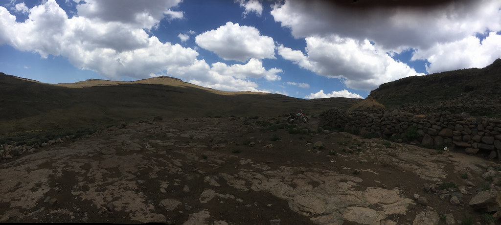
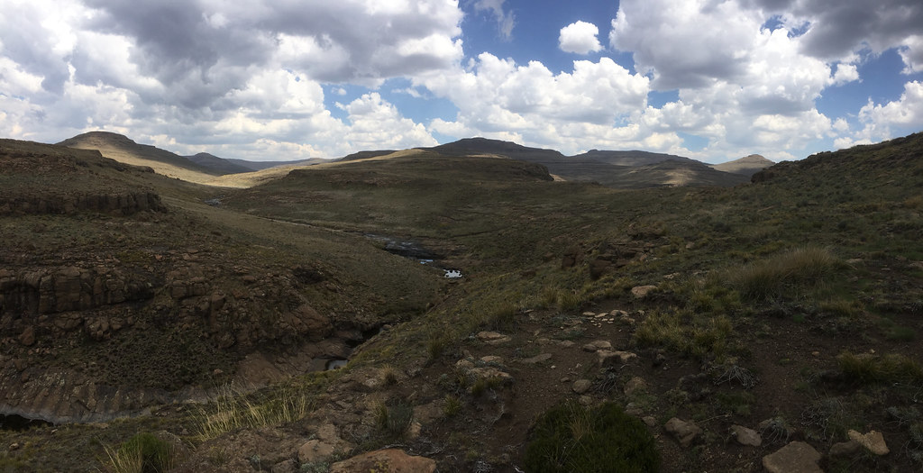
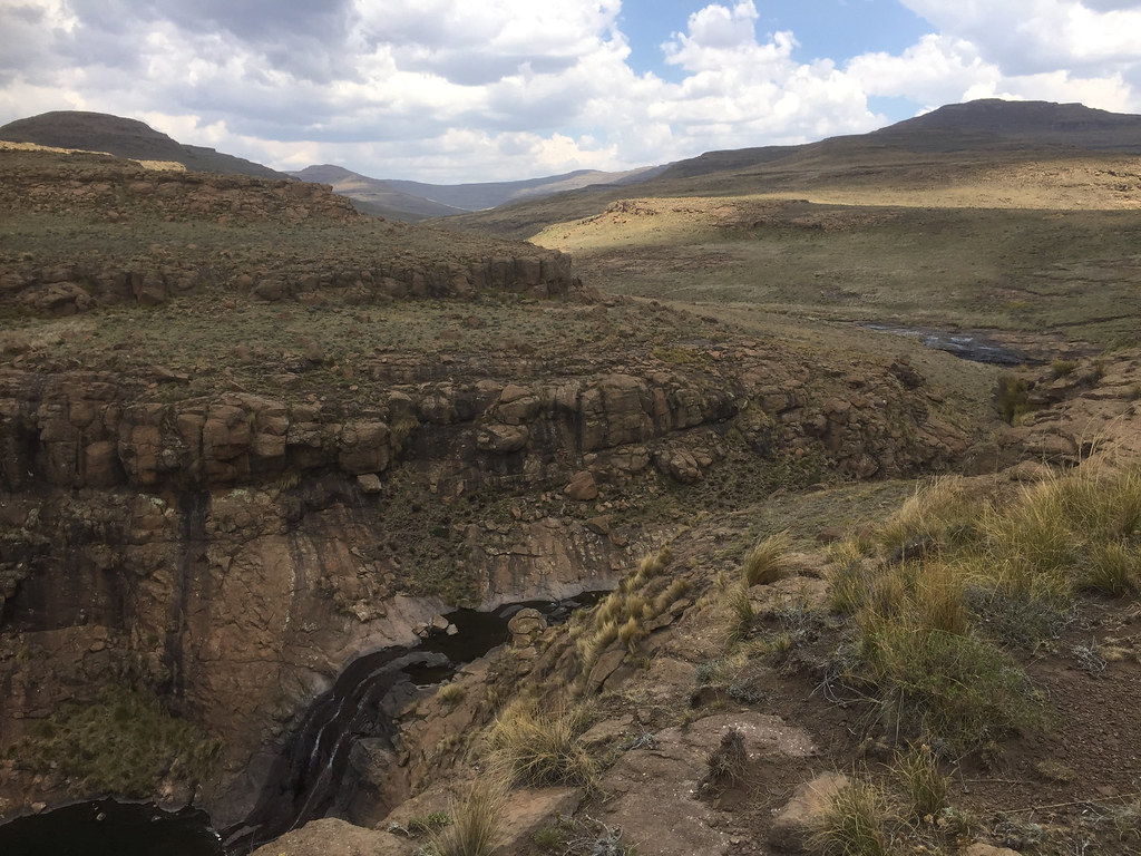
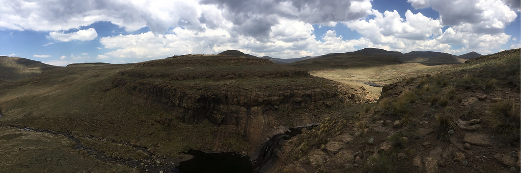
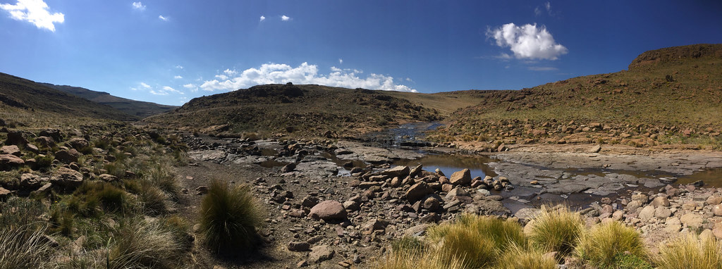
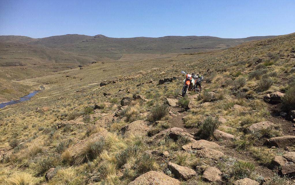
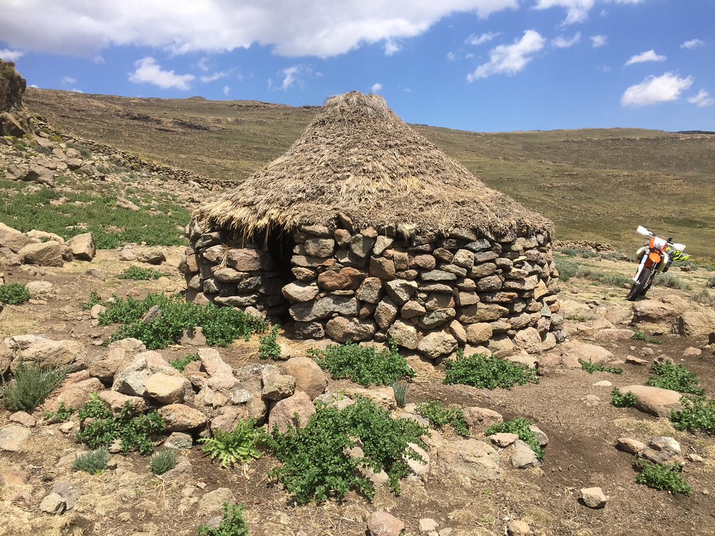
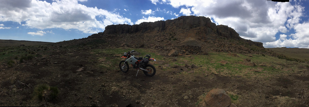
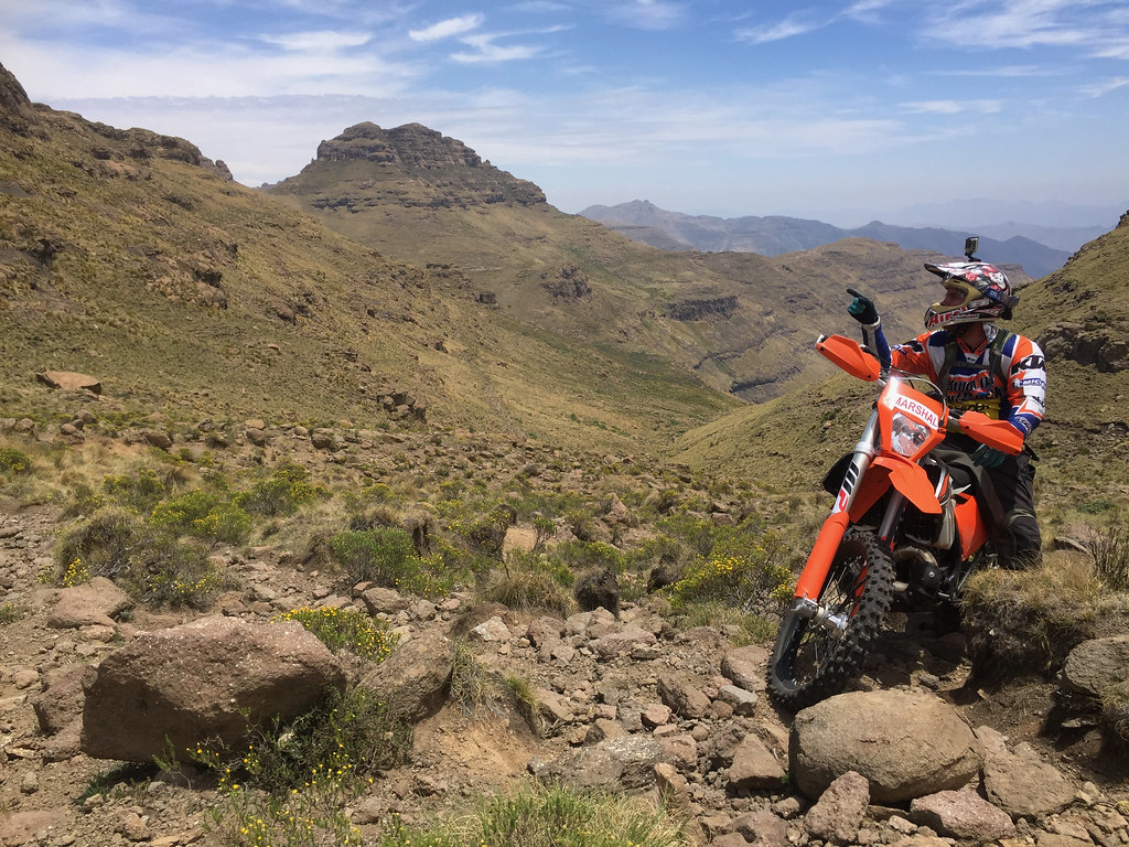
Lesotho Rock'N'Roll

This site may earn a commission from merchant affiliate links, including eBay, Amazon, and others.
PART 1 - AFRI SKI & SURROUNDS

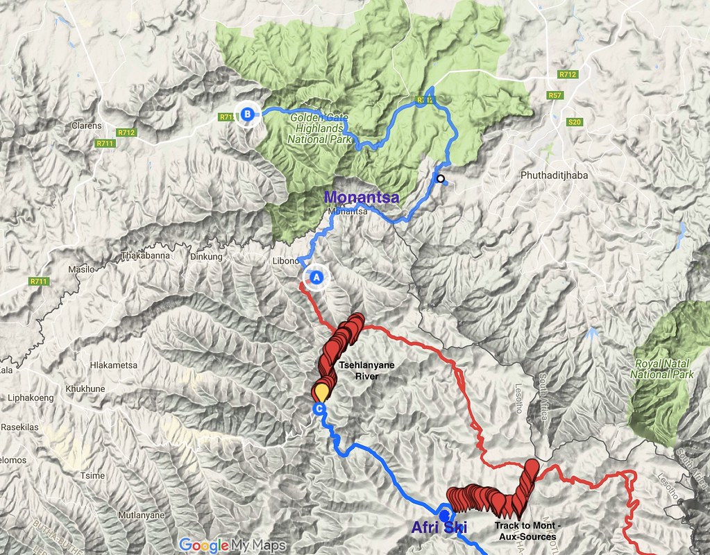
First part of the trip unfolded around Afri Ski (AS), which I ended up using as a base for a week to explore the tracks along the Drakensberg escarpment. Here is the map of the area:
24749312768_383c58d7c9_b.jpg


Here is the link to the map on the Google maps server, should you wish to zoom in or out: https://drive.google.com/open?id=14B1kH9i_3IzodD53Cxq9eUVpBi4&usp=sharing


The route starts in Sunniside farm where I left initially my car (B on the map), follows down to Monantsa border crossing through a double track crossing Golden Gate park and then connects to the cattle tracks (the red line) I planned to follow along the Drakensberg escarpment. There are two staked out connections that would allow to get to Afri Ski for some R&R if needed - just so that I had some options to get out without having to backtrack all the way should the trail prove too difficult (in the original plan I wanted to follow the cattle tracks all the way down to source of Orange river and then more or less follow the river to Mokhotlong without detour to AS). One following Tsahlanyane river and connecting to the main tar road between Butha Buthe and Mokhotlong just to the north east of the Moteng pass, and the other - preferable as it was dirt all the way - following a mountain bike trail running along the mountaintop between Mont-Aux-Sources and AS.


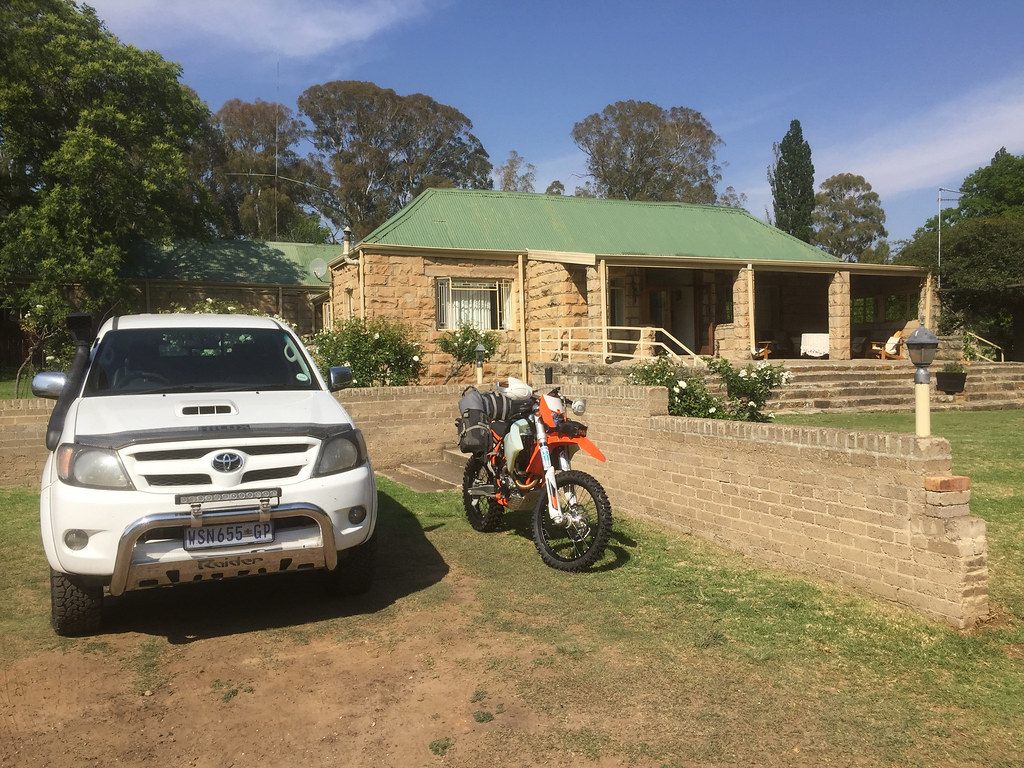
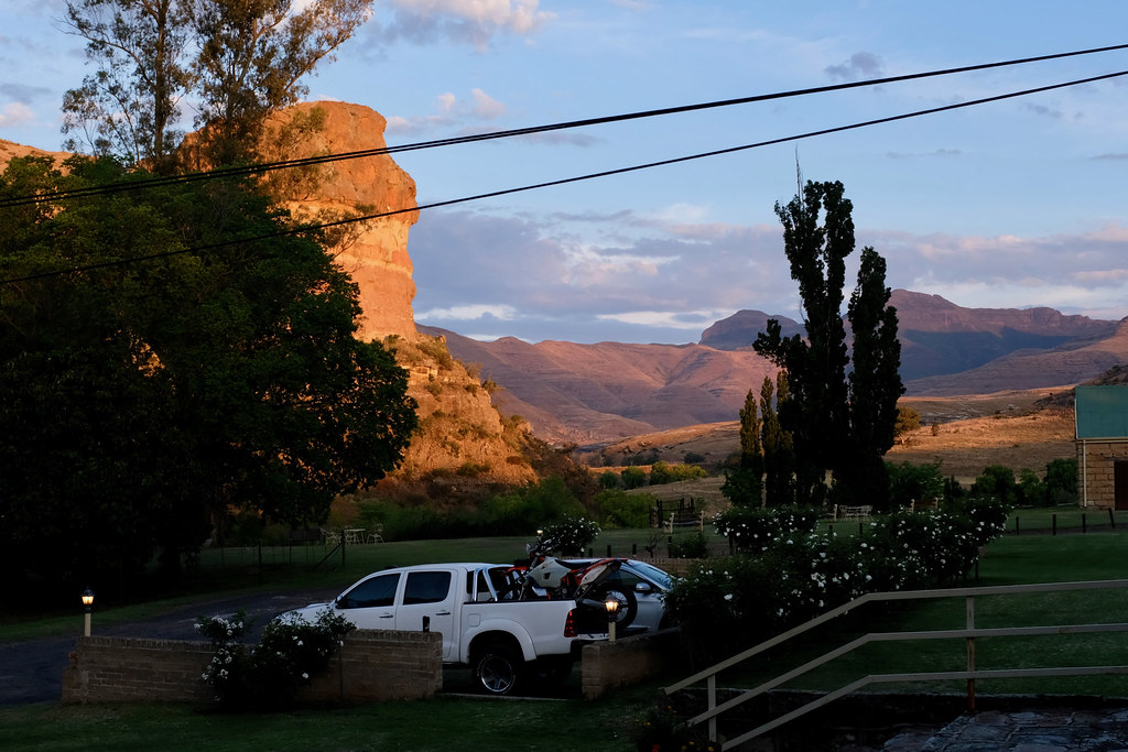
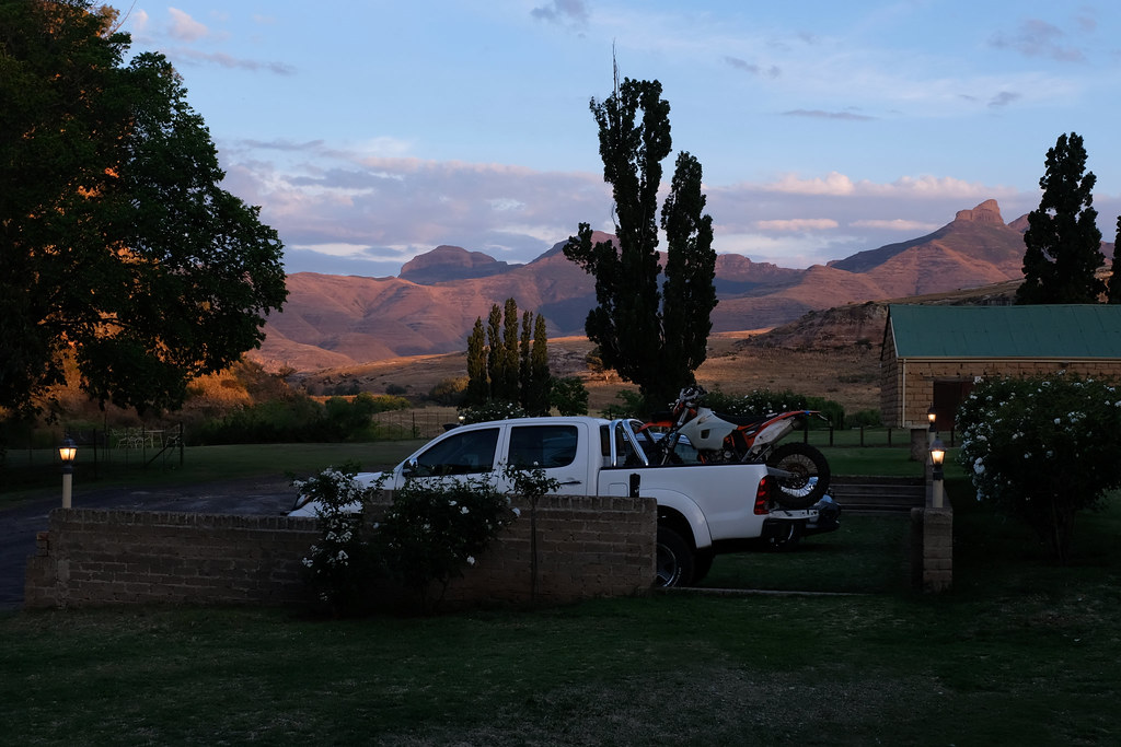
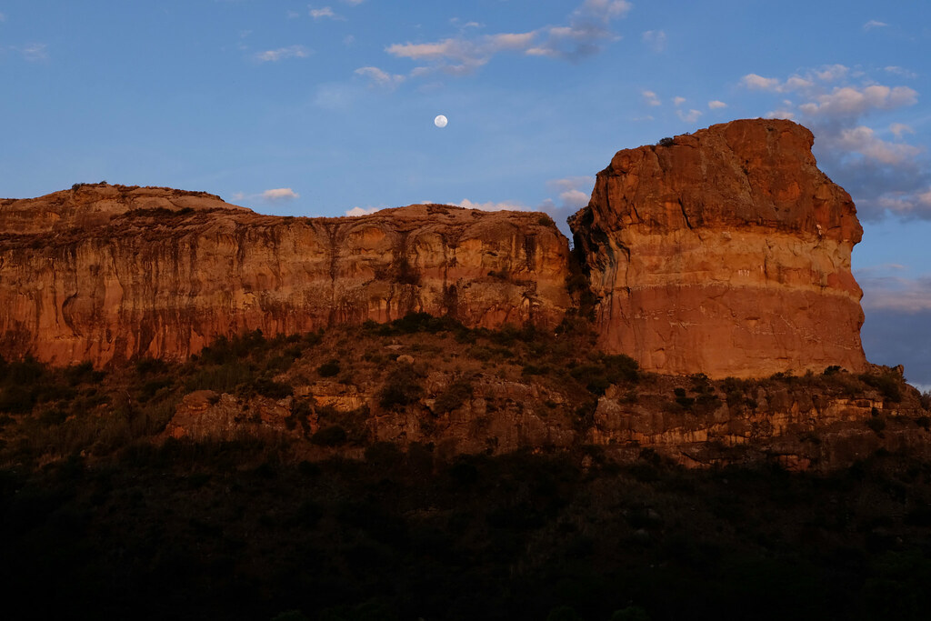
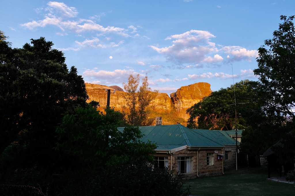
So as already mentioned, I left my car in Sunnyside farm who were happy for me to leave it there for the next two weeks and rode off towards Monantsa on the 2nd of November. Sunnyside farm is a nice place where time seems to flow slower and is highly recommended if you are looking for a bit of old school hospitality in the area (or just need to leave your car somewhere :)). Here few pictures of the place:


38562389616_3ab1b7456d_b.jpg


37731005885_0bdee8d1a9_b.jpg


24746695718_265b379cb6_b.jpg


38586630172_5ec769198b_b.jpg


38619261741_73a011877f_b.jpg


From the farm I rode through the Golden Gate on the main tar for about 20 km, then turned off south onto a very eroded double track running all the way to Monantsa village and adjacent border crossing.

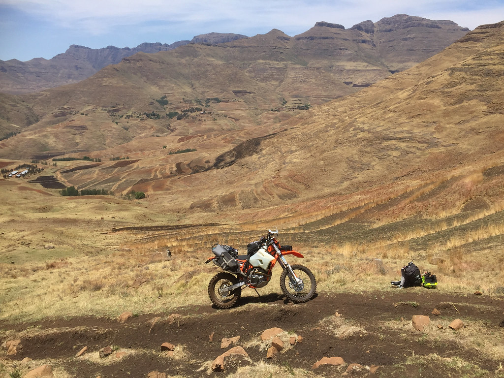
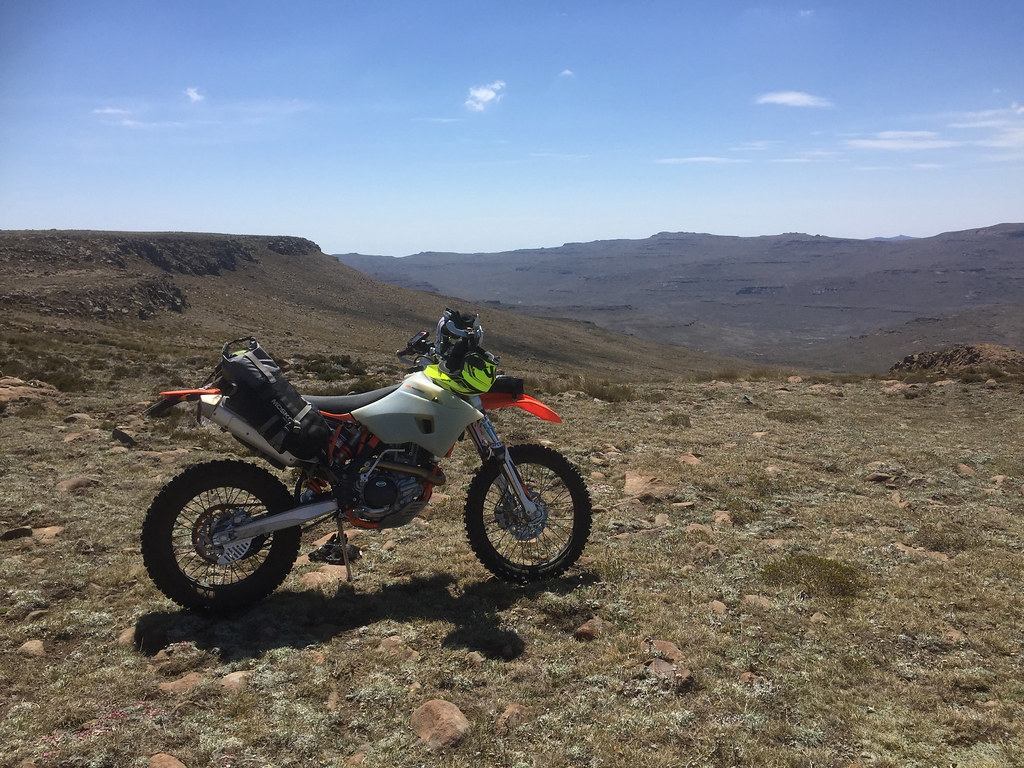
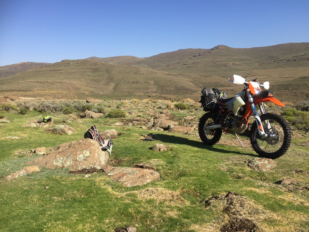
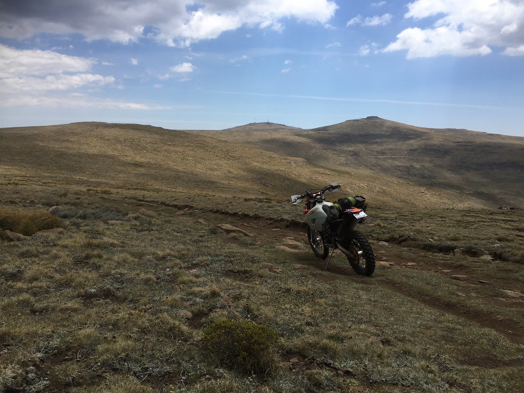
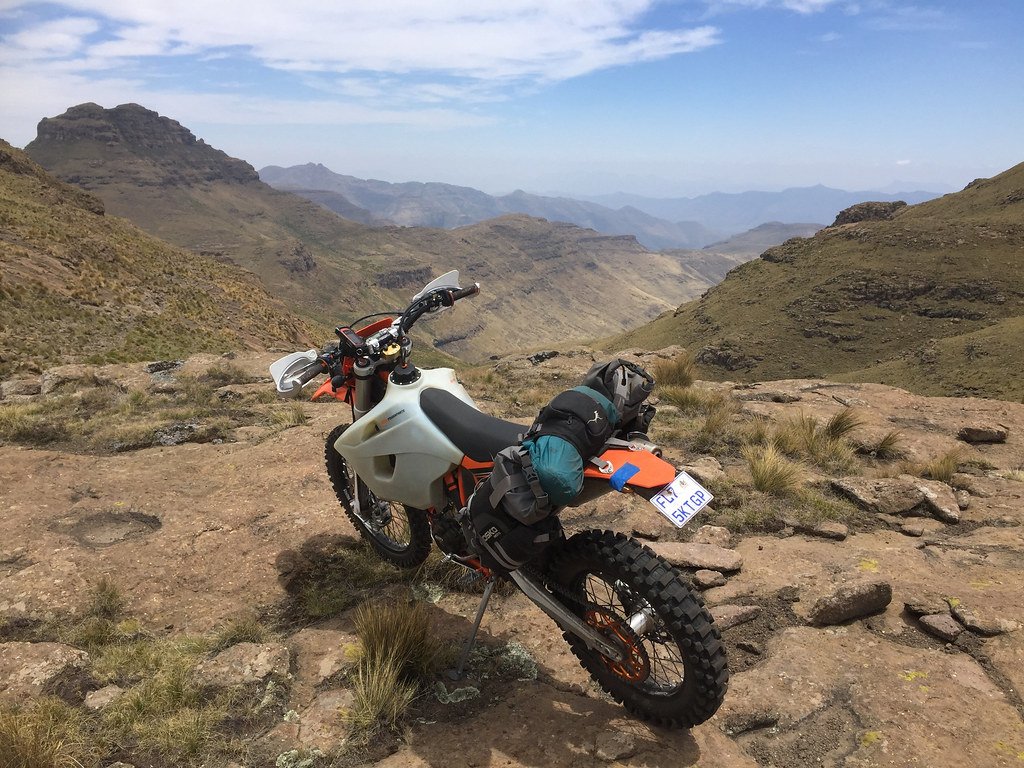
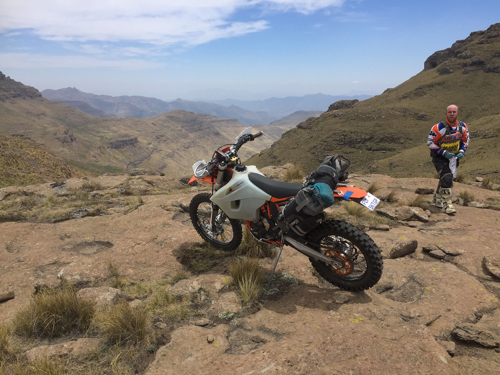
Here is 500 on the border fully kitted out. I have to confess that deep in my heart I was chuffed with all the luggage hanging all over - deep down there clearly is still some of the old GS fatty left, who enjoys nothing more than lots of things hanging off his steed. I will regret those feelings very soon - and yes, I have been warned by Ian upfront.
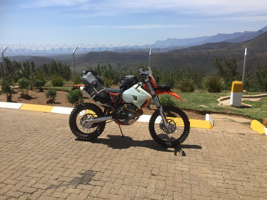
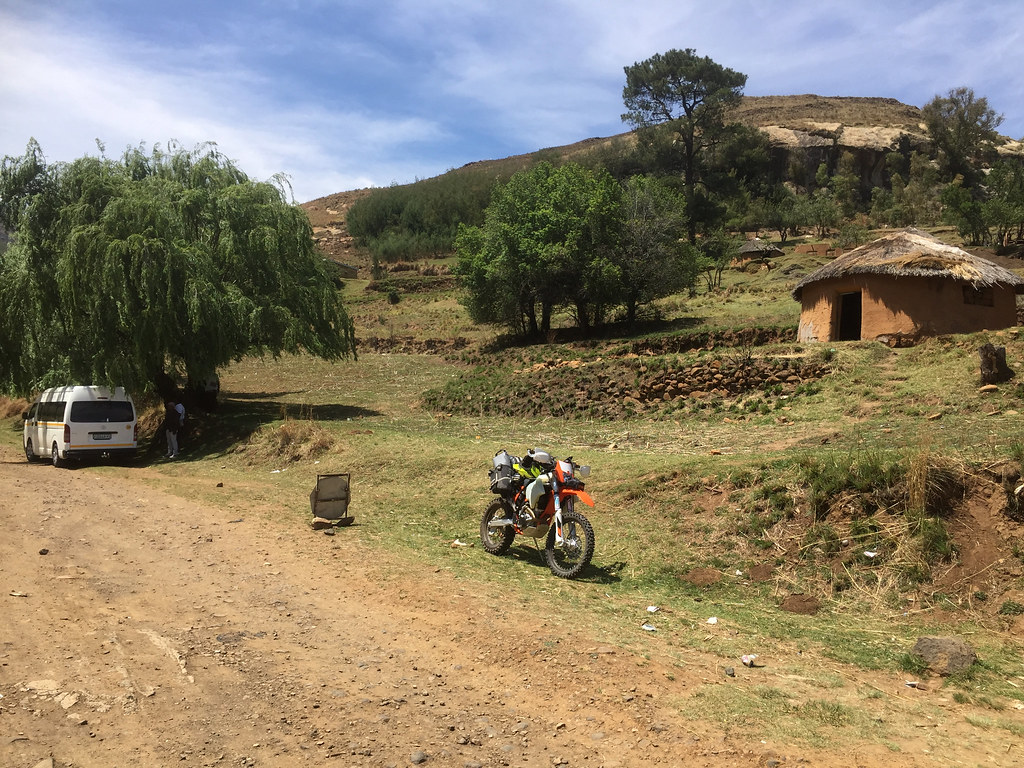
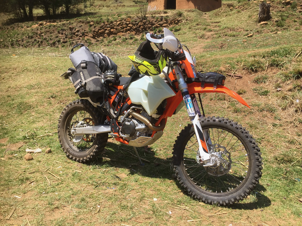
26842810129_8e2ac79f7b_b.jpg


37730977975_3e6a10a09e_b.jpg


37901456084_5afa198576_b.jpg


Once pass the border I pushed on the main dirt road that follows the Caledon river west to Butha Buthe. I have never done this road and was surprised how rough and washed out it was, as I knew this is frequented by people on big adv bikes.

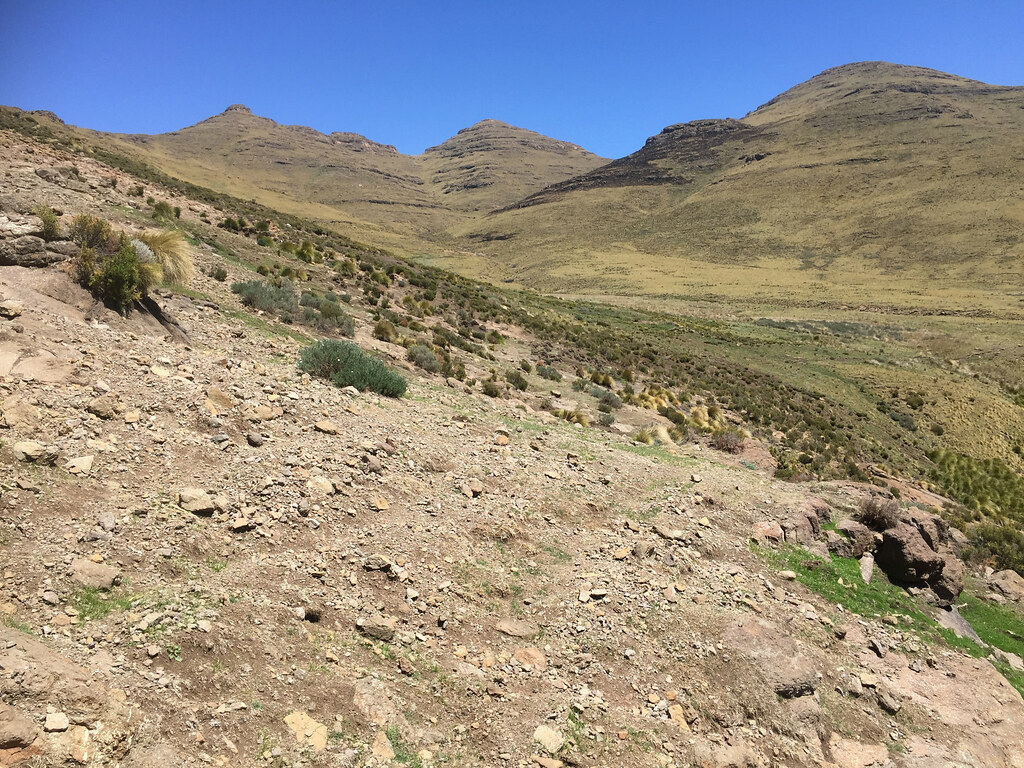
After about 15 km I turned off the main road up the valley and the road got immediately way rougher - but it was still some kind of dirt road. I passed the Lesotho Defence Force base (grand sounding name for what it was) and few more km up the valley at small settlement I turned right on the cattle paths following the spine of the huge mountain raising up east.

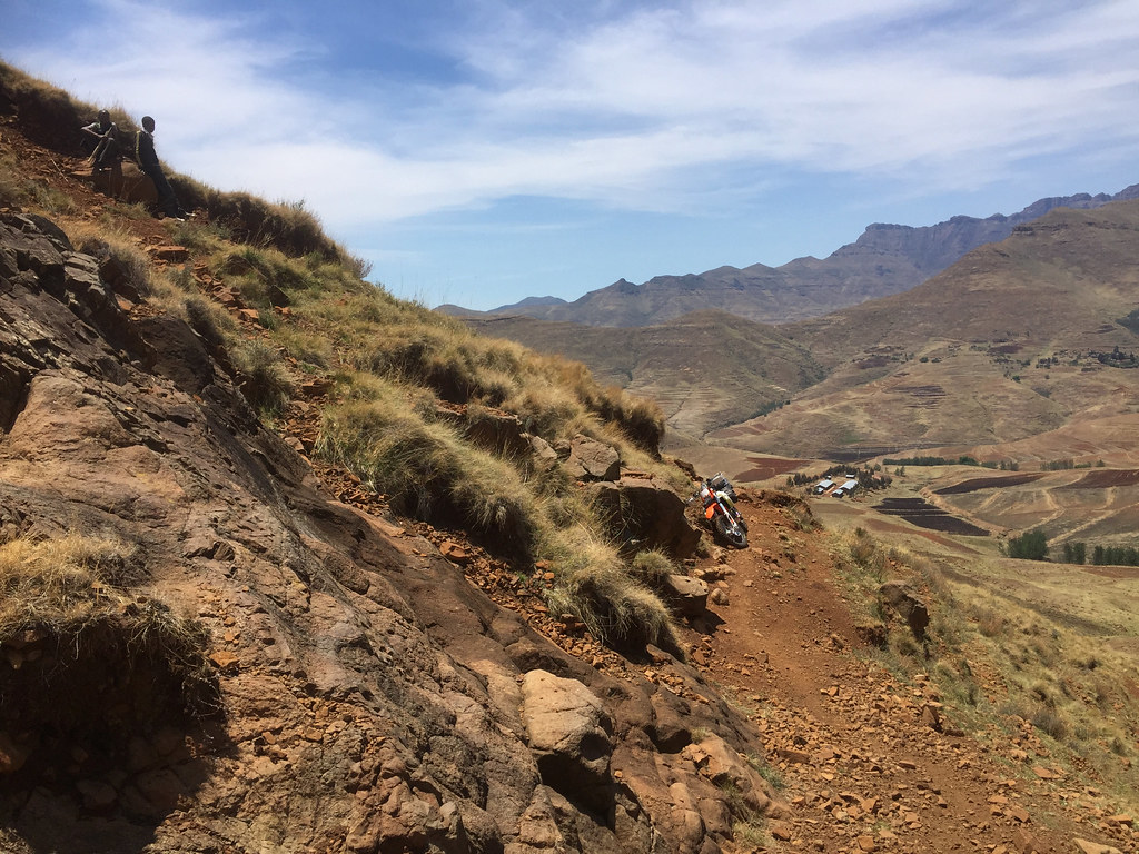
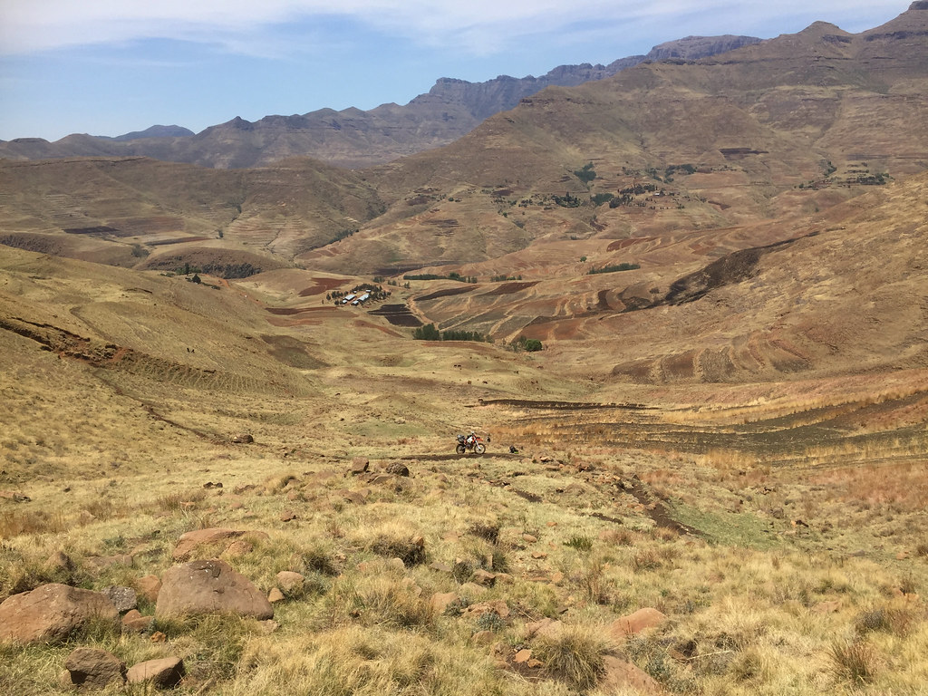
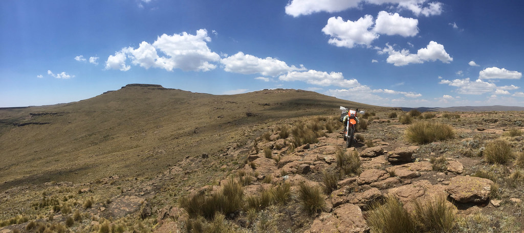
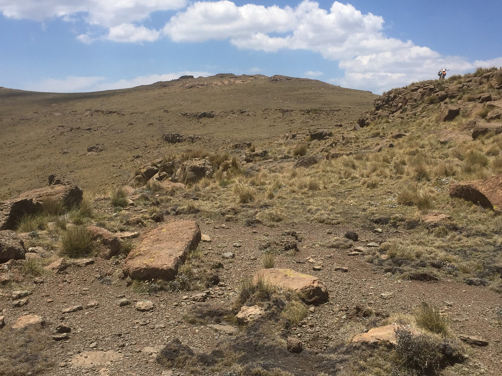
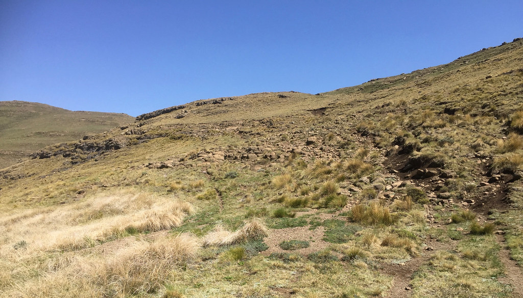
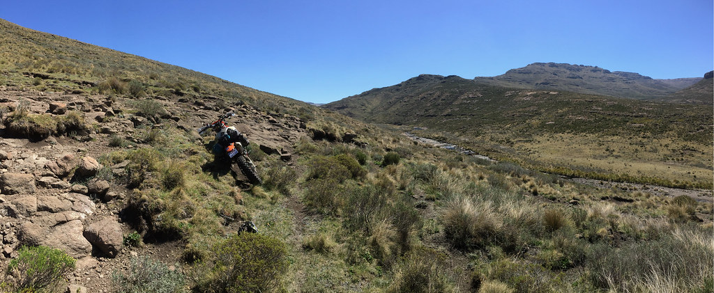
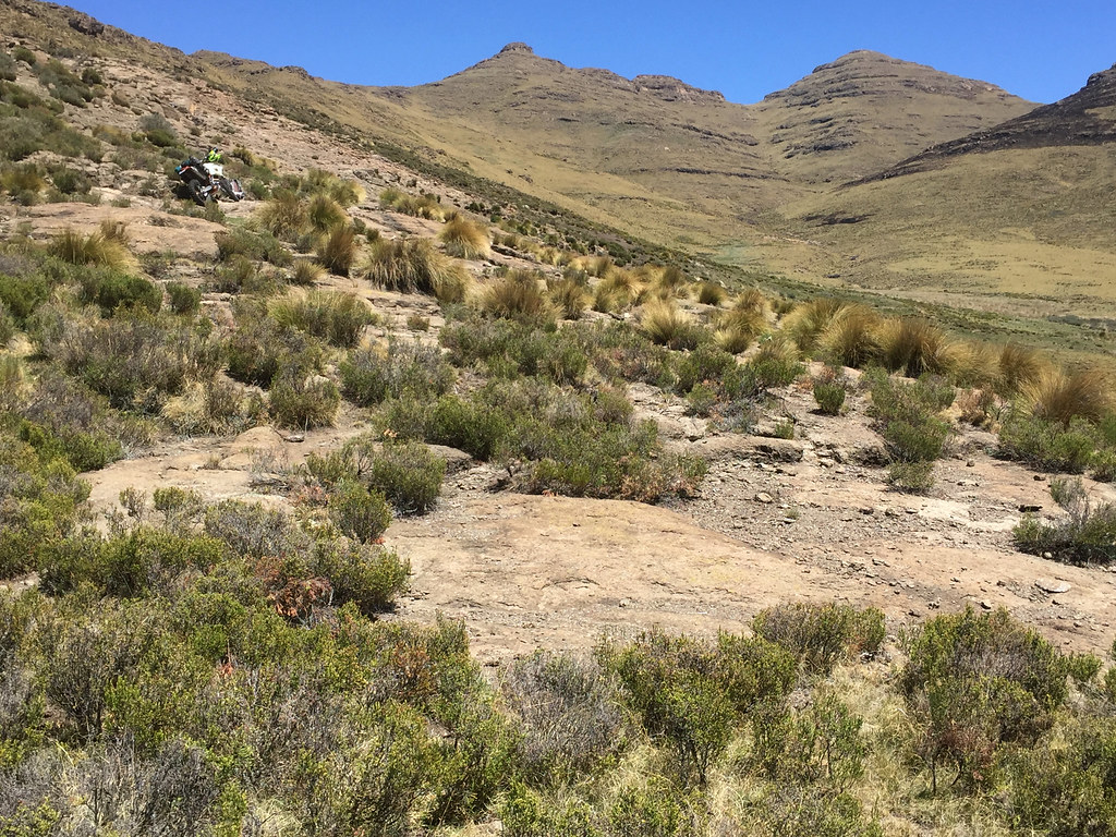
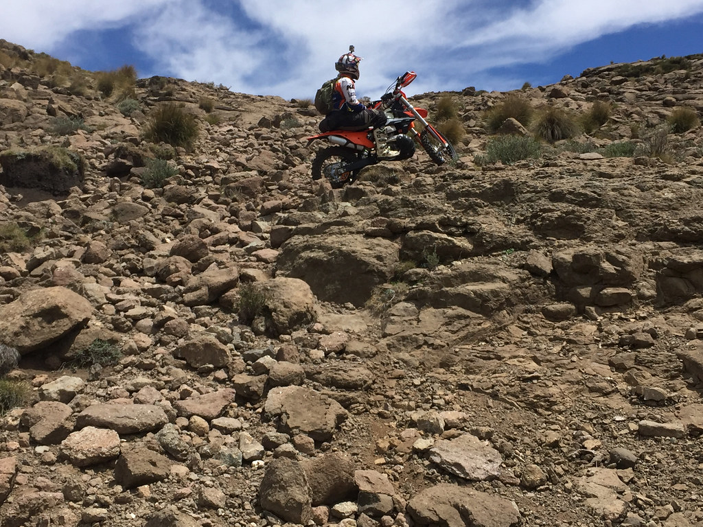
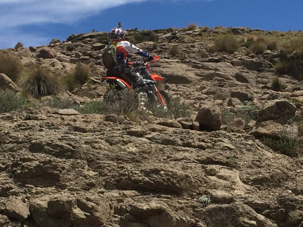
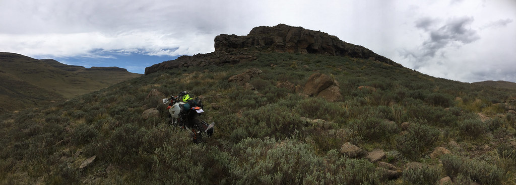
And just within km or 2 the things started going downhill - except for the track of course which kept going up and I could see was about to get way more steeper and off camber. The track was a red dirt cattle path running along the spine of the mountain with rocks thrown if here and there to keep it interesting. It was quite a bit off camber in places, but so far didn’t look like something I should not be able to ride. And yet, I was battling badly with the traction. The rear wanted to step off camber at slightest provocation and wouldn’t hook up in rocky sections leaving me rear-ending the rocks on number of occasions, instead of pushing me over as I expected. I had on brand new Metzeler MC360 tyre, which by the look of it should have been more than capable dealing with the track, and yet provided very little traction.

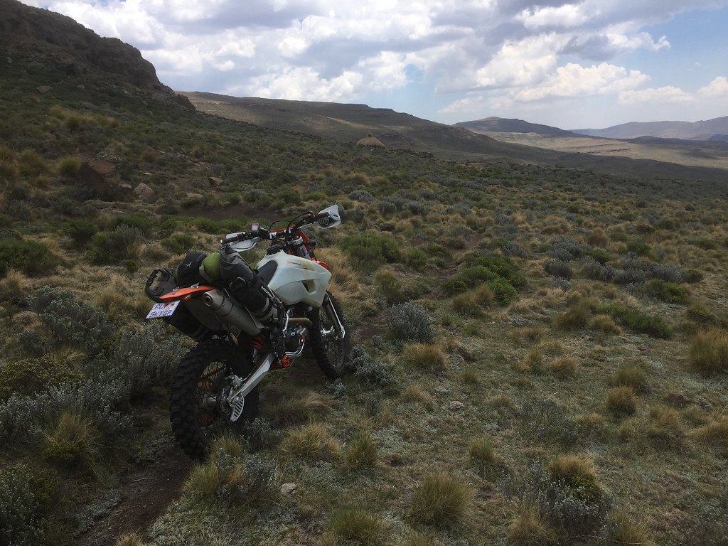
Frontal view:
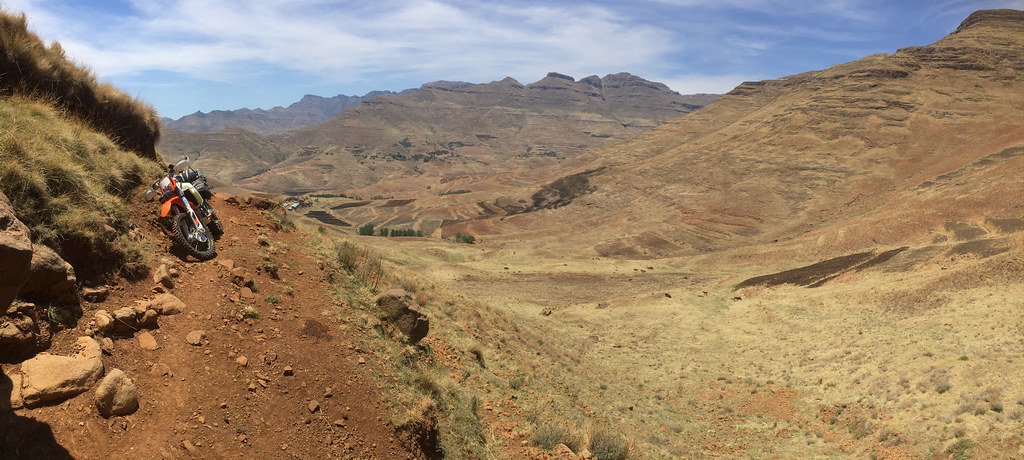
26836917039_b454df5f15_b.jpg


And the rear view - the track continues along the mountains to the left:
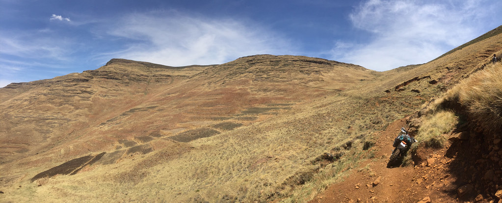
38586508302_917de05fd9_b.jpg


37731198165_263ba408fe_b.jpg


37901529734_dc62b489b3_b.jpg


37901695024_fda0d237ee_b.jpg


The lack of traction left me feeling very tentative exactly at the moment when the commitment was the order of the day in the face of much steeper and worse - more off-camber sections further up. I gingerly pushed up the track until I came to a quite rocky section - or what I considered very rocky section at that time - by the end of this trip I probably wouldn’t even notice it and just gunned it through. I thought I can bypass it by going downslope off the track and then gun it up small dip further up.

Well, getting downslope was easy. Getting up wasn’t - it was impossible. It was uphill and I had zero traction with rear tyre just digging trenches deeper into the mountain. I was completely perplexed by this, as - though no roof competitor - I have cleared sections like this before many times without batting an eyelid.
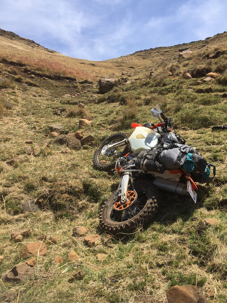
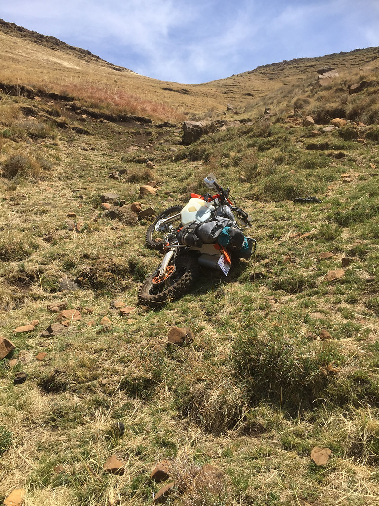
24746934708_7fb575a94a_b.jpg


37901504864_31484d7397_b.jpg


I had to manhandle the bike out, repeatedly picking it up and putting it down again and dragging it on the ground to face right direction and then walk it back on track where I came from. This kind of exercise drains one’s energy stores on open mountain side in 2.5 km altitude double quick and I ended up exhausted gasping mess. One thing I have come to learn very viscerally on this trip is that energy conservation is everything if one wants to actually ride those mountains. And anything else than efficient riding, like walking recces, trying to get bike unstuck somewhere on the offcamber ledge (or in the rock garden) drains ones batteries triple fast. Of course I knew that already intellectually , but tasting heart attack in your mouth has a way to bring clarity to that understanding that brain just cannot match.

By this stage I had pretty good idea (and I’m sure most of you had for a while) what the problem is - stupid tyre pressure. I was riding with fully inflated tyres at about 2 - 2.5 Bar as I thought that is what one needs to ride in rocks to avoid pinch flats. Not conducive to good traction. Just to make sure I called Runner and he in his usual polite manner explained that I’m an idiot and should be actually riding at about 0.8 - 1 bar pressures. That is what roof guys ride - or they would if they would use tubes, which they don’t.

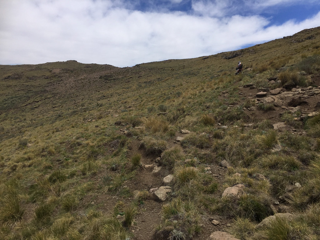
So once I caught my breath again I lowered the pressures and turned straight uphill to test it properly. I knew from my track plotting that I would be better off riding up on the top of the ridge rather than following this increasingly off camber cattle track. And  a herdsman I have met said exactly the same thing so I decided to give it a go.

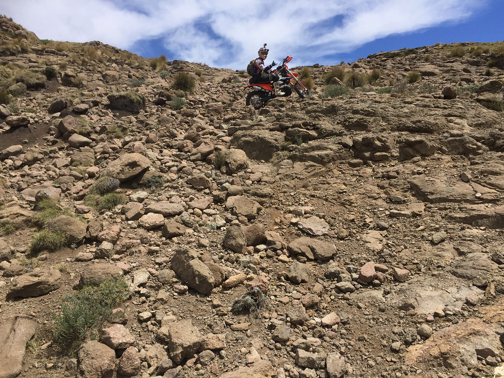
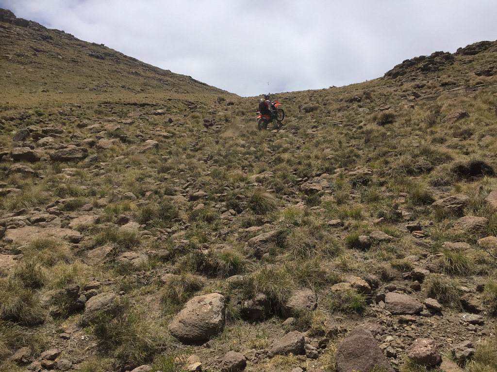
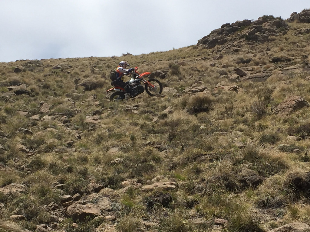
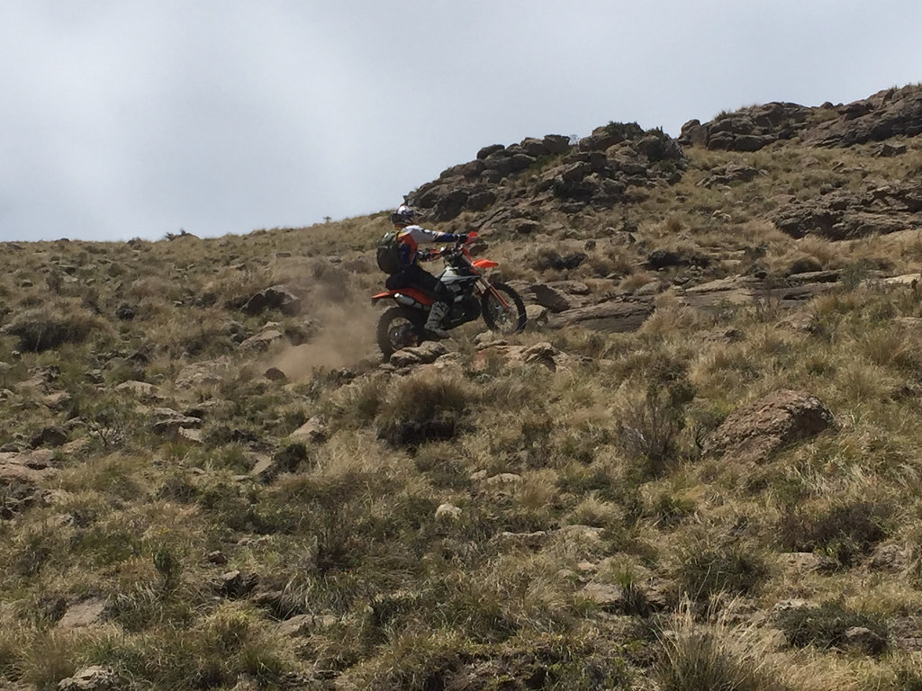
The lower pressures did they magic and the bike was climbing up like scalded donkey. Very soon though I have run out of relatively easy low grass section and run into a part with big big rocks and grass knolls all over the place. Again, at later stage I (or rather 500) would clear that one without too much sweat, but at this stage, lacking experience and fearing I might flip the bike at any moment, I chickened out and stopped.

Devoid of energy and commitment I knew it was done. I have made about 2 km or so of tough-ish stuff and had another few dozen to go and it was very clear that the riding is going to get much tougher pretty soon. So defeated I turned tail and headed down the mountain.

But it wasn’t all doom and gloom - facing now the full enormity of what I was attempting to do it was clear some changes are needed. The tyre pressure was the clear one and now sorted, but I also had to get rid of some of the luggage. IanTheTooth told me that I should be riding only with back-pack and no luggage, but that wasn’t to happen. I’m not good enough to be able to get myself out of tight spot quickly in tricky terrain should I get stuck somewhere - be it because of weather turning quickly or just because I got behind obstacle that I cannot easily get over in the opposite direction. So I need the safety of the camping gear to give me freedom to explore deeper into the mountains. Otherwise I would never dare to venture far away from safe base - which basically means I would have to be riding within easy walking distance of AS, should I need to abandon bike stuck in a tricky section in a hurry.

But it was clear I was carrying too much crap - the most obvious example was tankbag. I like to carry one for my camera gear, but it was getting in the way big time and I had to get rid of it, even if it meant leaving camera behind (which I did - all the images in this report are from iPhone). Part of the reason I was carrying too much was that I planned to live off the bike for the next two weeks as I do on my other trips. The easy way to alleviate this was to have a moving base from which I can venture out for day or three on the bike, but return to to replenish my stores and get clean clothes - and get some R&R. In other words take the car, load it up with stores and have it as a base strategically positioned for each leg of the trip. Which is exactly what Ian recommended in my preparation thread - but hey, I learn best from my own mistakes.

So I retraced back to Sunnyside farm, where they were naturally surprised to see me after all the fuzz I made about leaving the car there for two weeks, loaded up the bike and gear and got ready to set-off again next day for another attempt.

Next day I drove to Clarens where I bought food stores, jerry can, filled up on petrol and headed out to Lesotho via Caledonspoort. I was heading for Afri Ski, where I arrived in the early afternoon, just before a nasty storm - which I came to learn is regular occurance here this time of the year - hit the surrounding mountains.
 
Day 3 & 4

Next day the plan was to try to ride the route I failed on on Day 1 in the opposite direction - i.e. from Afri Ski to Monantsa, the reasoning being that the tricky section should be easier going downhill as I always walk the bike down should it get too tough. To keep to the dirt as much as possible, I would hit Mont-Aux-Sources mountain bike trail all the way to the escarpment on the Lesotho / SA border and then turn onto the red track I have plotted heading west to Monantsa (please refer to the map in the prior installment if for the tracks mentioned here).

I got the bike ready already day before and after breakfast in the restaurant was ready to go - the car will of stay in Afri Ski. There was a KTM 300 with ‘Marshal’ sticker on it parked in front of the restaurant so I asked around for the owner to source some local intel. The owner was Afri Ski manager, and also multiple bronze roof competitor Martin. He confirmed that it is possible to ride to do a loop by getting to the escarpment on the mountain bike trail then turn on the red track on my map and come out back to tar along the Tsehlanyane river - and then finish the loop on tar back to AS. However he has never ridden the section from Tsehlanyane river down to Monantsa and was intrigued as that would allow him to organize rides from Clarens to AS off the main roads. So he was keen to find out how it will go with me.

He gave me GPS tracks for that loop which mostly run on the tracks I have plotted, except one section where he took a shortcut as 300 didn’t have a range to complete the whole loop I have plotted. He also gave me his number to call should I get into trouble - I was carrying satellite phone. He also warned me about the storms that he said are daily ocurance and should I get caught out there I better find shelter in a hut or cave fast (the track runs on the top of the mountains between 2800 and 3200 meters),

With that sorted I set off. The mountain bike trail (which in reality is very rough double track from a truck that went there few times to deliver some communication towers), follows tops of the ridges all the way to the escarpment/SA border. It is very rough, rocky with steep uphills and downhills, but still probably doable even on heavier bikes (assuming they want the challenge and don’t mind the potential damages too much) as the truck was able to drive it. This is the only track I would consider on anything bigger than 500 - but again, it is very rough, and hard work.

I made it to the escarpment about 15 km away without much drama and took few pictures on the SA border.


37733793135_4e80daa8db_b.jpg


37733777095_013c95e5cf_b.jpg


I ventured into SA a bit looking for a different valley north of my track as I knew that my track  crosses a mountain range about 10 km away that judging by the contour lines on the maps was pretty steep. But the pass to the other valley was a bit gnarly and steep so I reverted back to my track and descended down the valley it followed.


38622050871_739ff14d54_b.jpg


In the morning I was a bit anxious as this was the day to see if I have any chance to ride any of the tracks I came to ride. If I will fail the same way I did on day one, there was no point to continue and I would just pack up and head back to Joburg with tail between my legs.

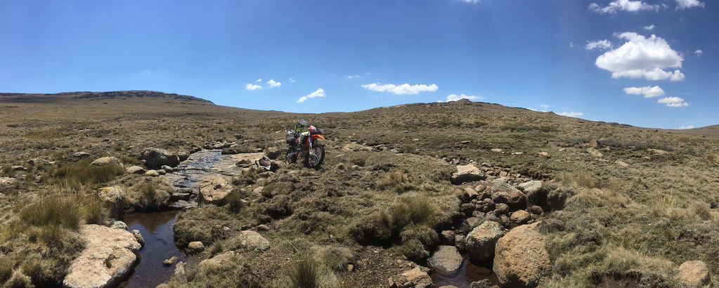
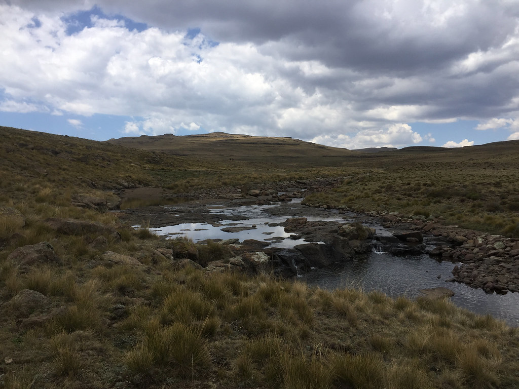
So I was really glad that the riding so far was going well and I was making good distance fast (in Lesotho mountain terms). It was proper cross country - no road, double or single tracks, following and crossing Matseng river. There are cattle paths there but they are eroded and rough so I rather just rode over open terrain. The only thing that made me a bit nervous was lack of any hersman huts to use as emergency shelter should weather turn against me. I remembered from satellite images that there should be quite a few but so far the only one I have seen war collapsed. There were clouds gathering in the east, but still far away so I just pushed on hoping there will be huts further on.

I made it to the bottom of that mountain ridge I had to get cross - it looked intimidating, but doable. This was the moment of truth, here was where I either make it or go home. Buoyed by the steady riding so far I crossed the river and gunned it straight up. And to my relief the 500 just climbed up over rocks, grass knolls and creeks like space shuttle on ecstasy. All I had to do is hold on. Very exhilarating and impressive.

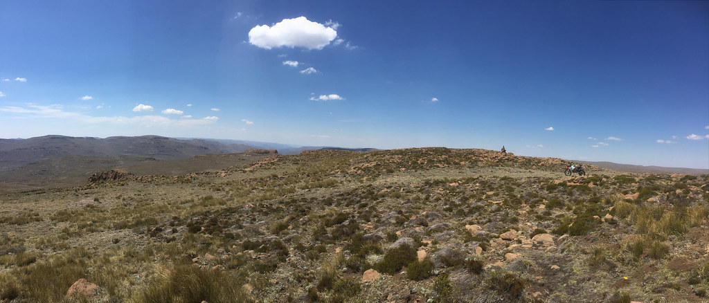
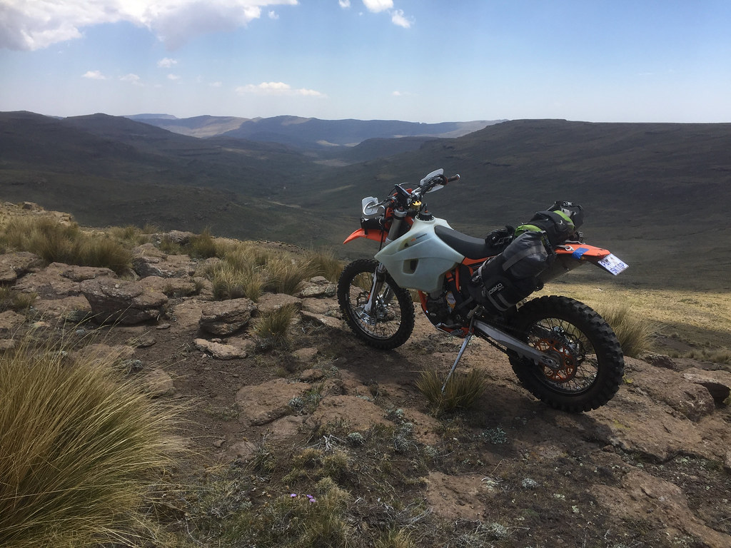
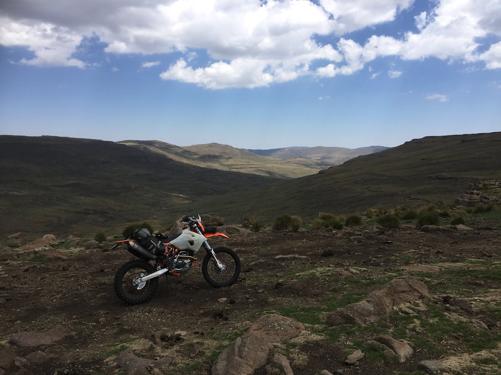
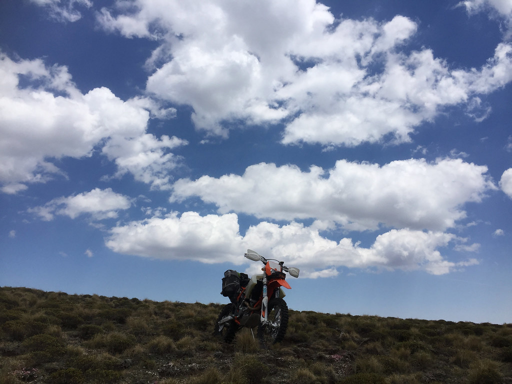
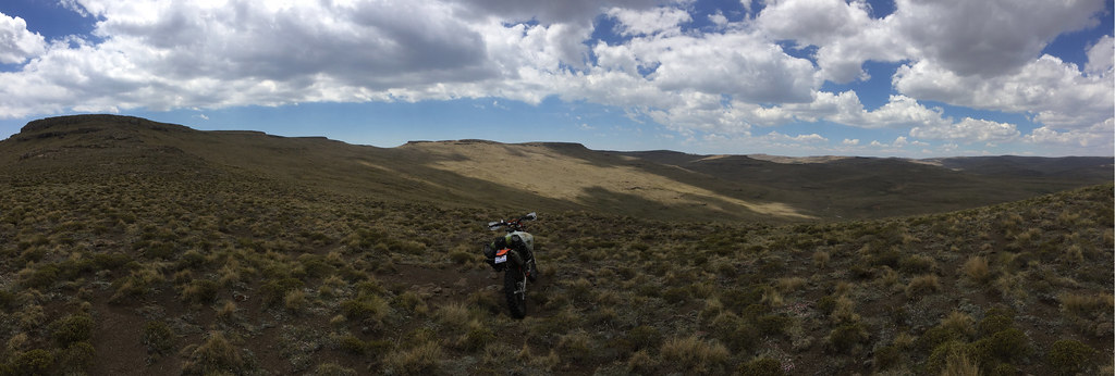
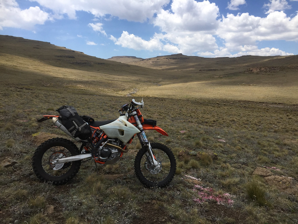
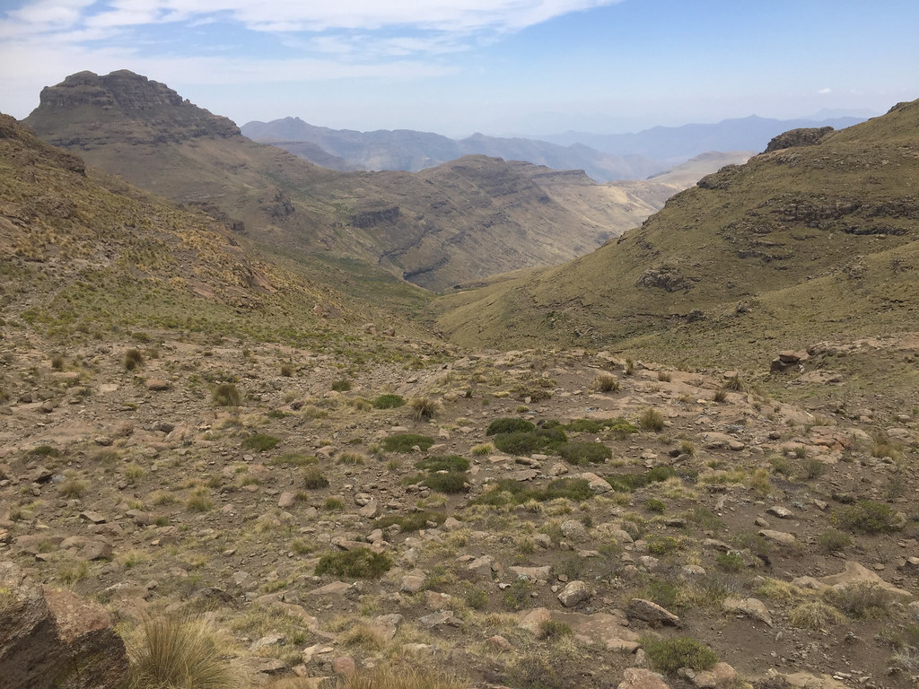
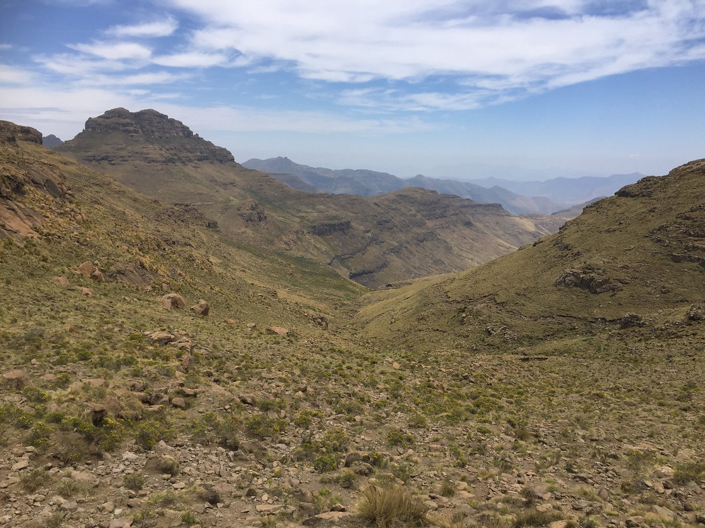
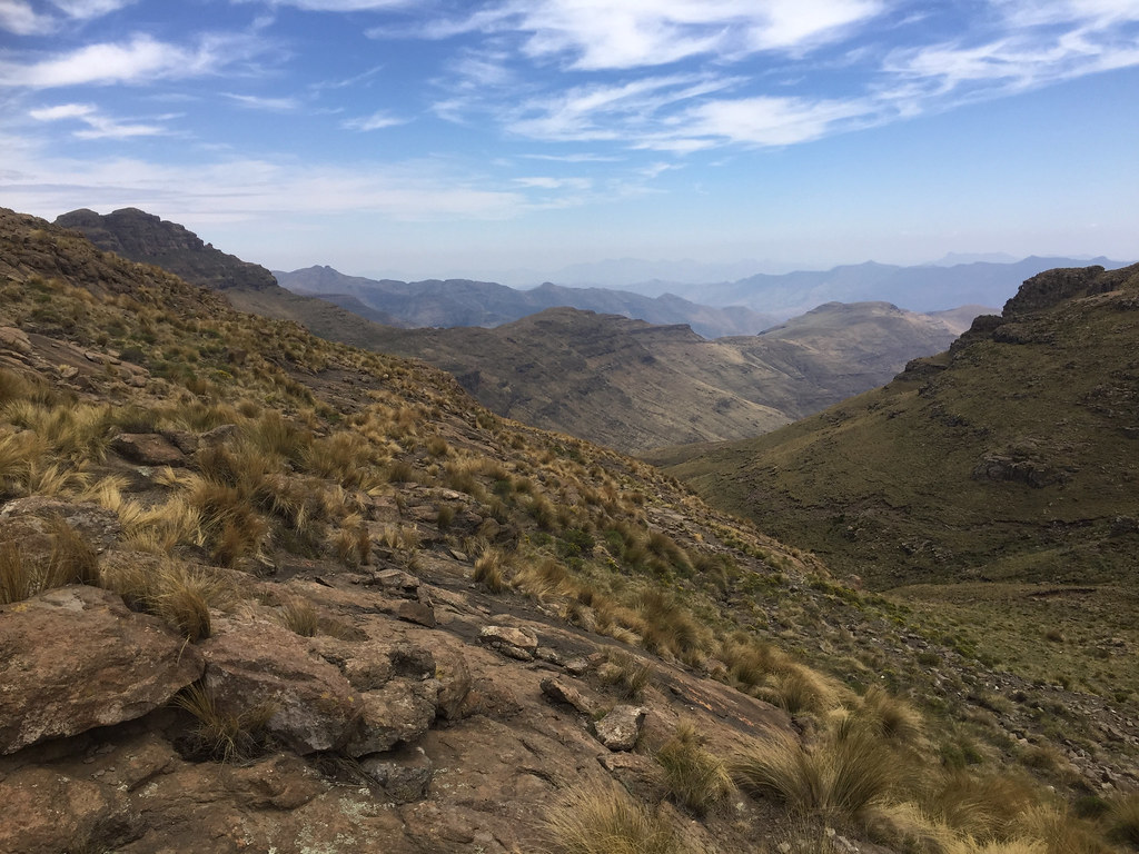
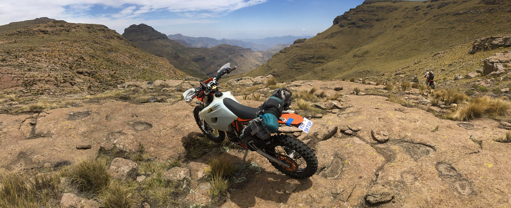
At the top I stopped for few pictures and to have a good look at the next valley I had to follow for next 10 km or so:


38565340486_b3e91dd442_b.jpg


38621979211_3e3600e7c9_b.jpg


38589226762_0cf5dd6854_b.jpg


38565217846_4d61b2f1ef_b.jpg


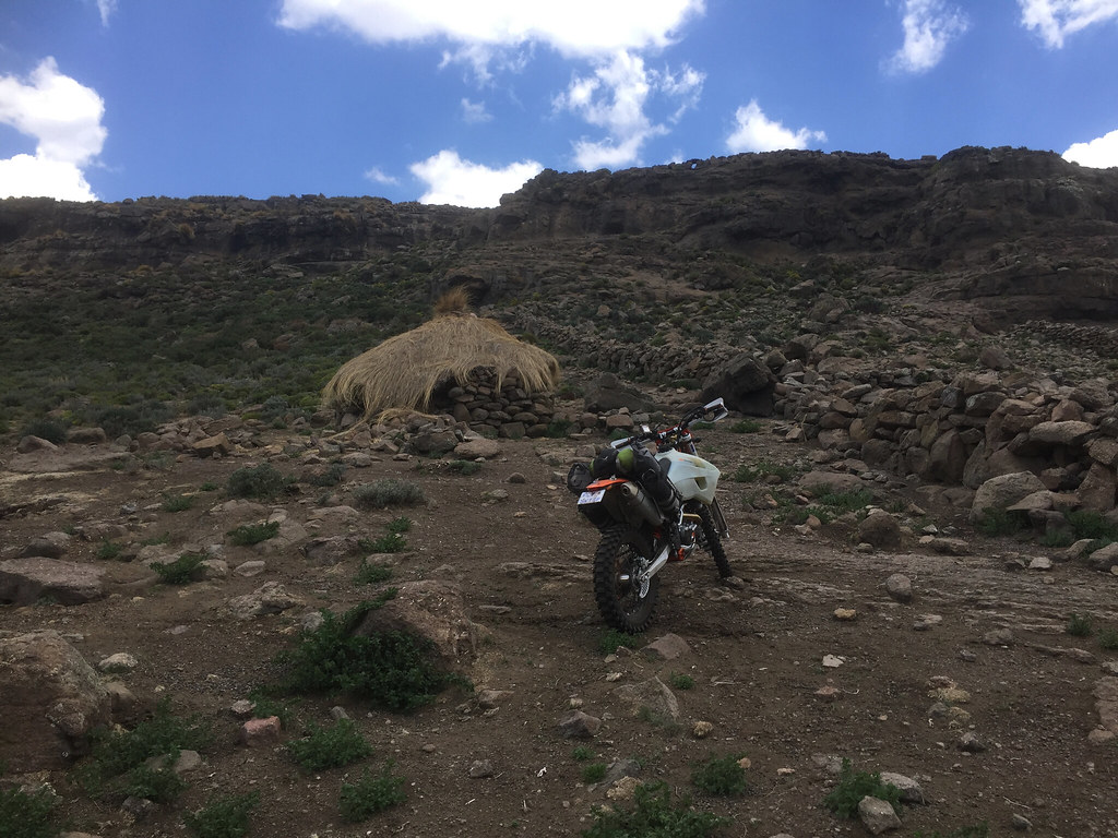
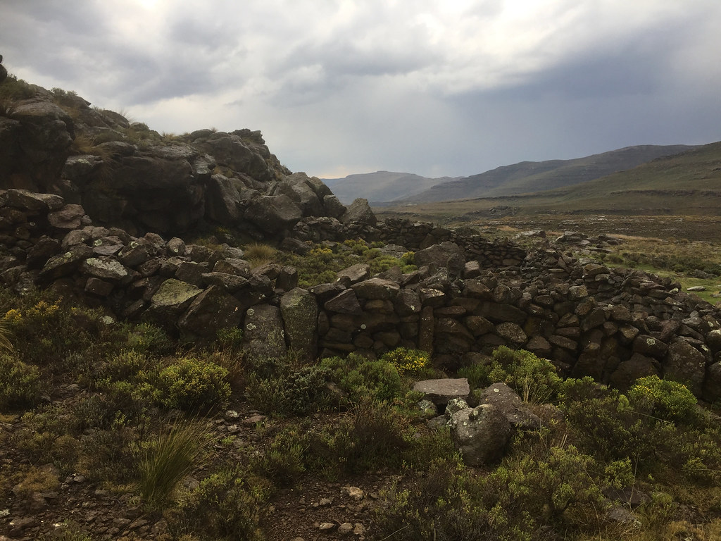
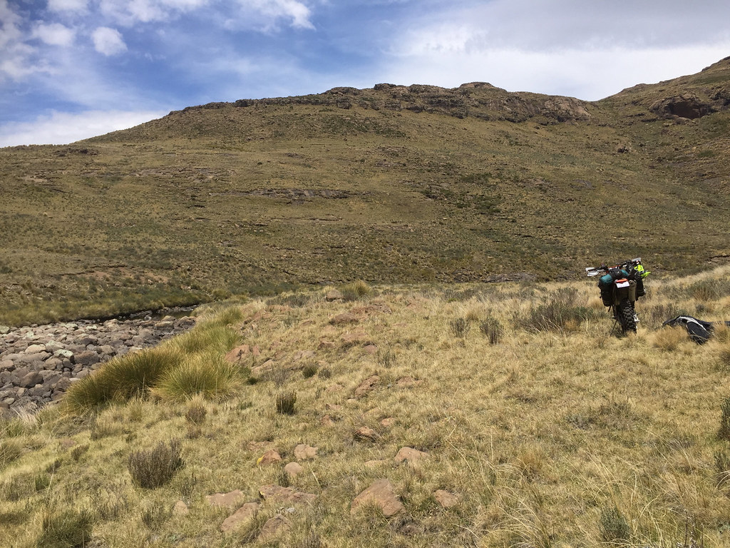
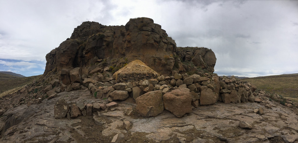
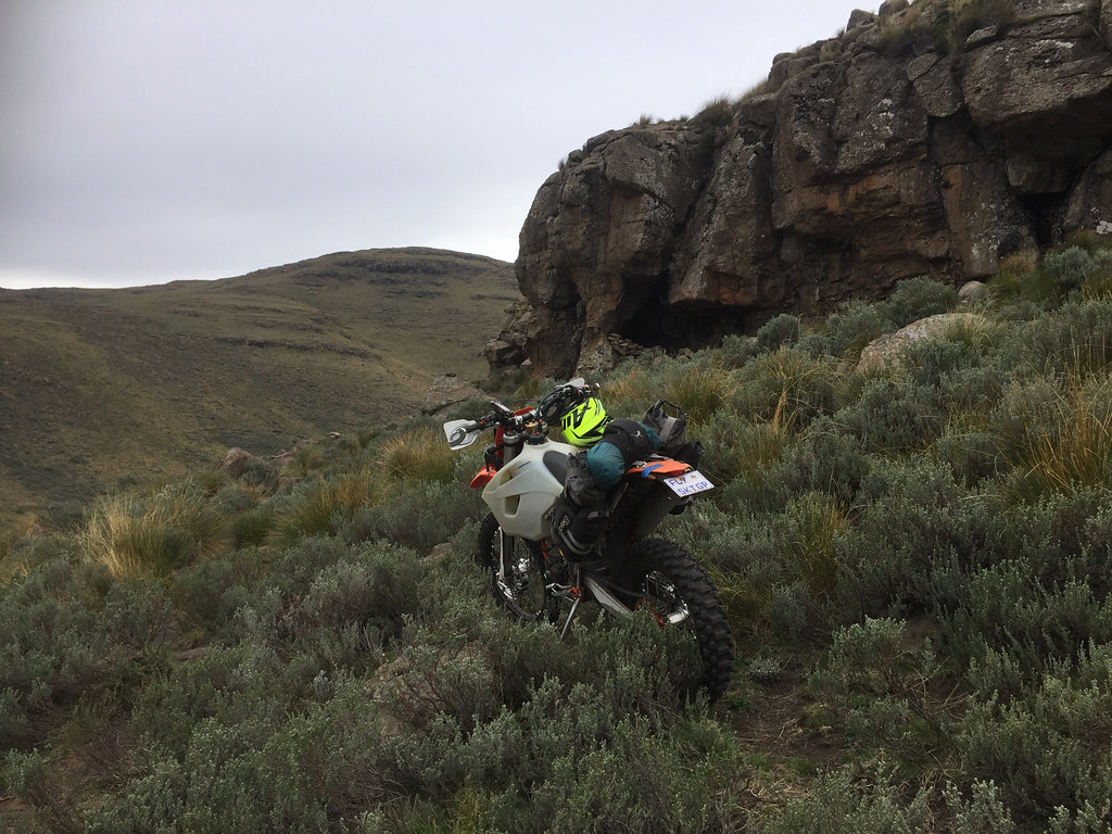
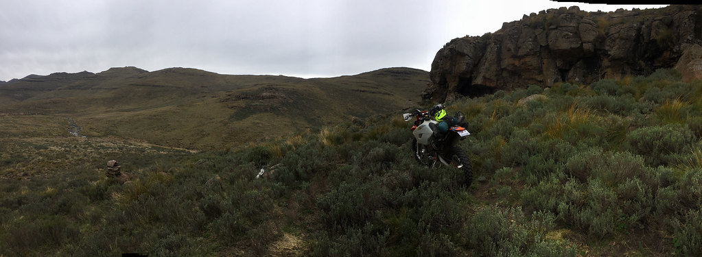
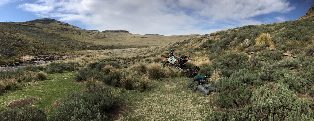
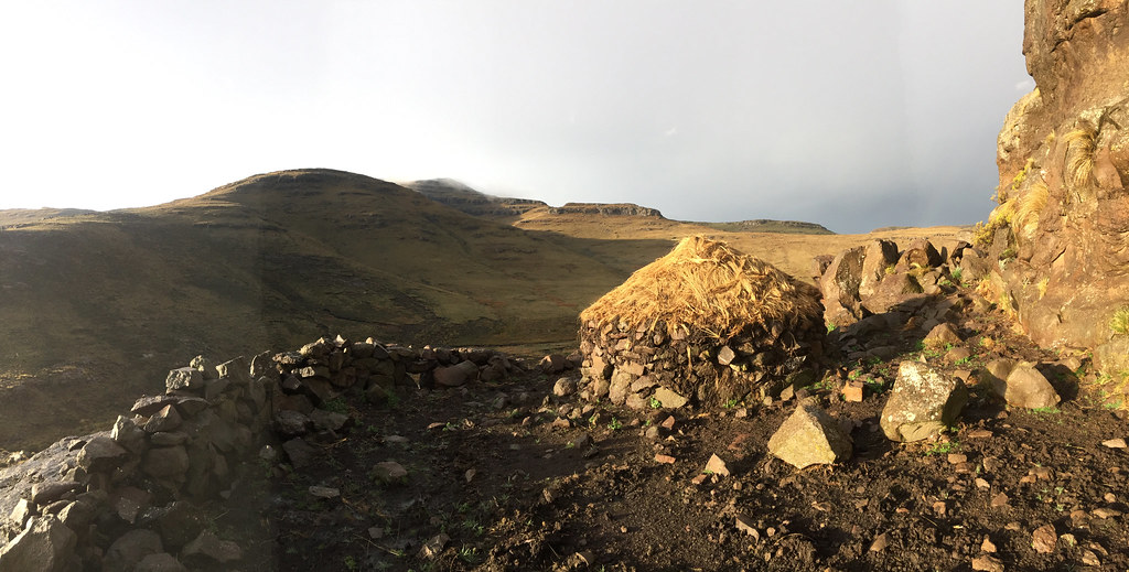
I still couldn’t see any huts which I knew from the satellite imagery must be somewhere around. Well there was nothing to it but to push on so that is what I did. I descended down hill and following cattle track finally bumped into first hut, conveniently with overhangs in the backyard (I prefered those to the thatched roof hut for lightning protection.

37733585245_cd7b2c0d01_b.jpg


24750601078_ce4116dda6_b.jpg


The ridge behind is the one I came across:


26846992479_e9e9b93860_b.jpg


I marked the spot on the GPS to know where to run for cover should I need to and pushed on following a no-name river down the valley trying to outrun the clouds.

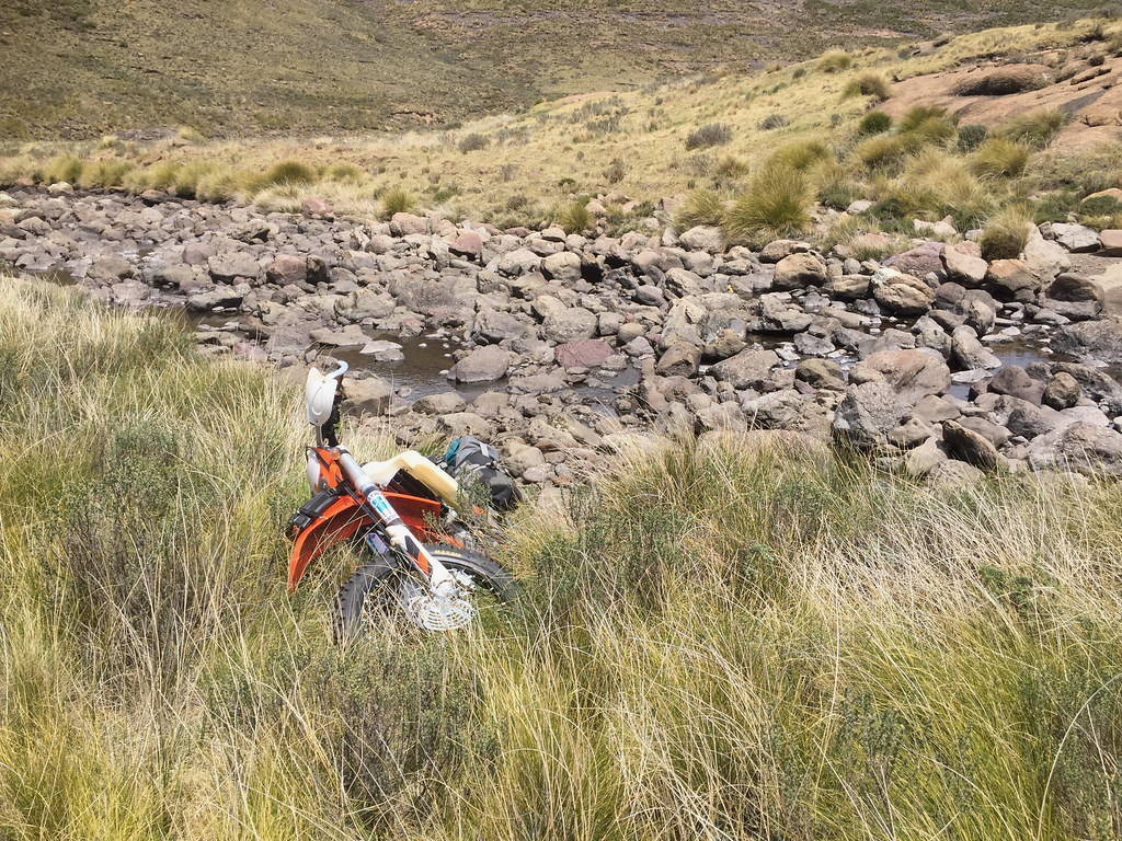
The track followed the no-name river all the way to the bottom of the valley. Before the no-name joined bigger Tlholohatsi river the valley narrowed down to a little ravine with 10 meter waterfall, which even I with my by know highly developed skills was not able to clear.


24750511658_6c7be283ec_b.jpg


26846830599_68be847d5f_b.jpg


38623034281_dd6a3628a4_b.jpg


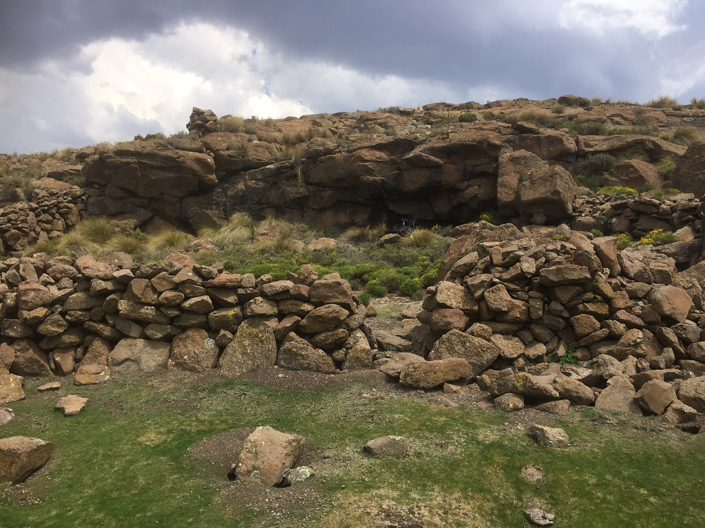
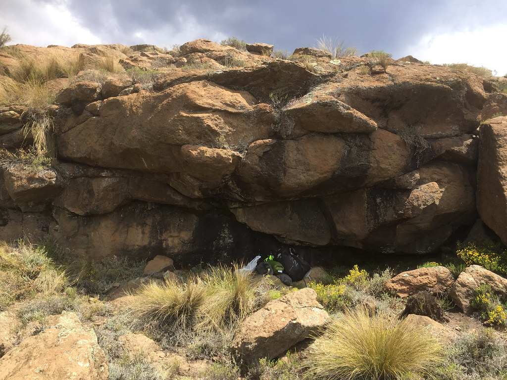
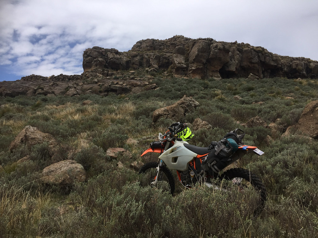
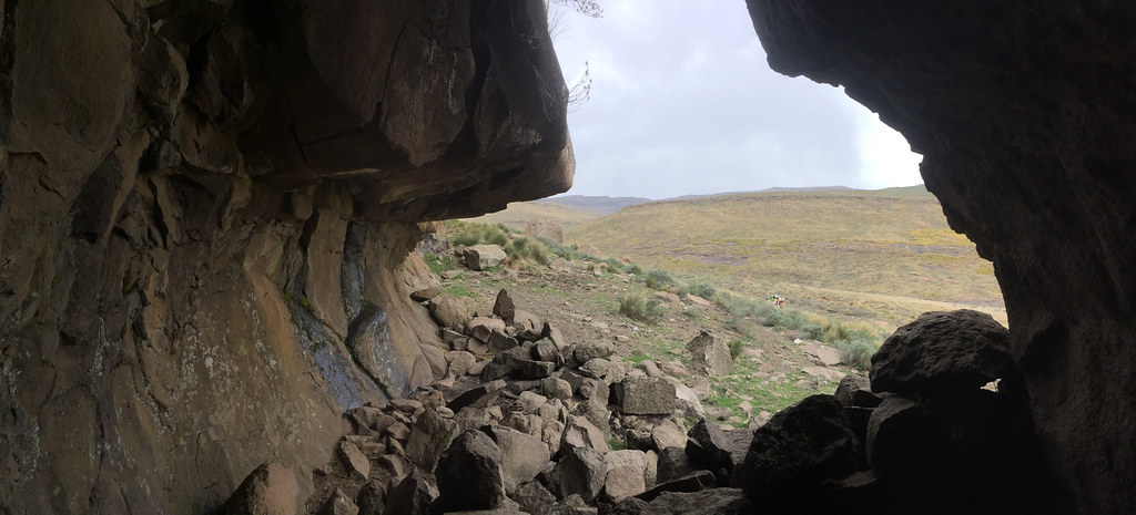
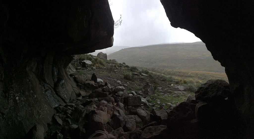
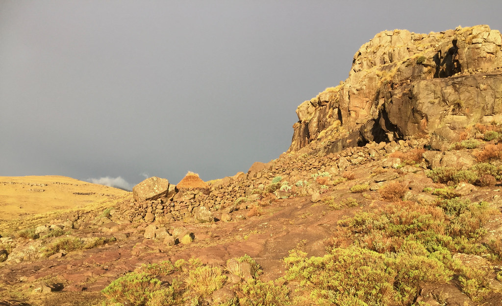
I could see more manageable terrain on the other side of no-name so I crossed it and gunned it up the slope on the other side. It was only shortly after noon but the storm was closing in fast, so I was glad to bump into a cattle kraal around the corner. There was no hut, but there was little rock overhang that should do as storm shelter.


38590296282_fefaf570d8_b.jpg


38589499032_22d59bb992_b.jpg


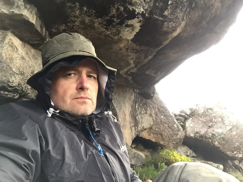
I parked the bike some distance away on the other side of the outcrop  (love that bike, but still I’m not going to sit next to only lump of metal in the surrounding 400 km2) and made myself comfortable under the most conveniently looking outcrop. It wasn’t big so I had to spoon the rock face, but it would do. The storm hit with vigor soon after and raged for the following 2 hours, as I watched many lightning strike hitting my next major obstacle, escarpment ridge towering straight ahead of me.


37733893775_a096fef030_b.jpg


38565406296_51f84fe961_b.jpg


37733832655_2b9b924b6e_b.jpg


38566582666_4c127ef495_b.jpg


38565184486_600fbf4b91_b.jpg


38590499482_bd2f1691f7_b.jpg


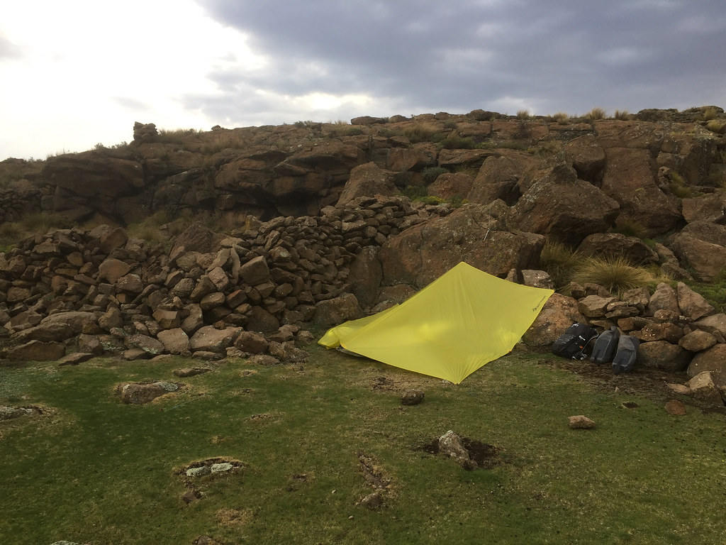
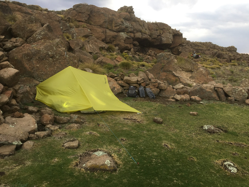
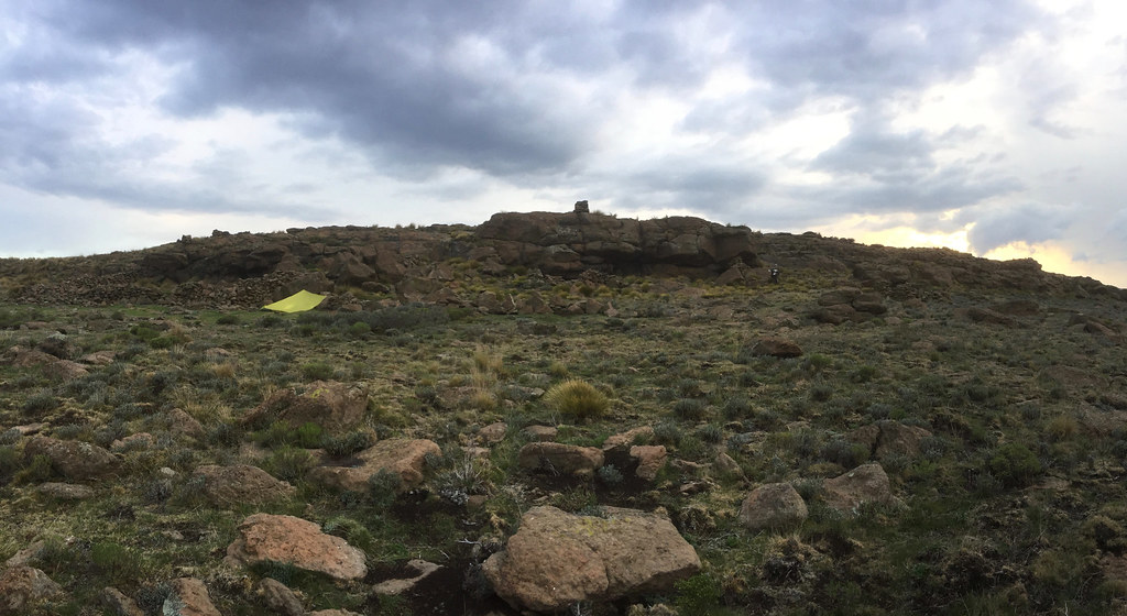
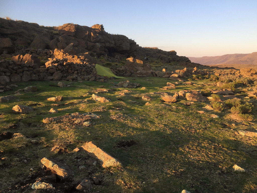
By the time the storm passed it was almost 4 pm and I didn’t fancy trying to ride up that escarpment and get potentially caught up by another one up there. So I set-up a camp on a nice grassy flat spot close to the overhang and settled for the first night out.


38566396716_19b50229e3_b.jpg


26846790439_48cd936218_b.jpg


38566361096_ef3fc5b901_b.jpg


26846731229_a9b8d051f2_b.jpg


38622924441_c6ffc6939f_b.jpg


It was pretty cold in the night and I was glad that my layer solution worked - I was nice and warm and woke up ready for another day of riding.

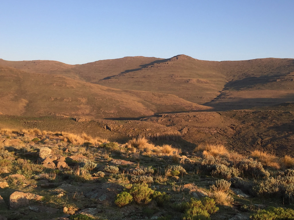
Next obstacle - escarpment I had to cross viewed from the camp:


38565556016_e48724f656_b.jpg


37905279604_d9d2d89936_b.jpg


24749604908_3328e25cac_b.jpg


37904358234_0fce51c825_b.jpg


Ready for the escarpment:


37733636945_c9b6054bde_b.jpg


24749441138_ff5434d737_b.jpg


Riding on the wave of prior day’s success, I felt pretty motivated to get going on the escarpment. I broke down the camp, had some Salticrax for breakfast and headed down to the river for crossing an attack on the escarpment. 

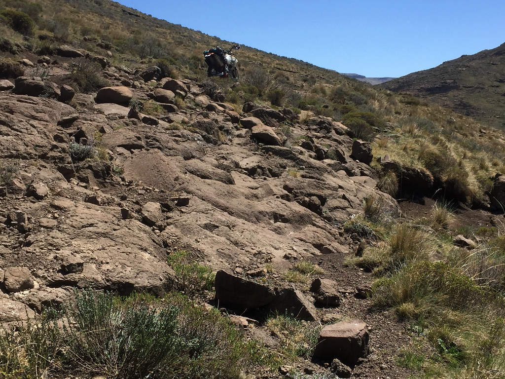
And straight away I run into problems. The cattle track was extremely eroded with boulders everywhere. That on its own was solvable, but I saw that I will have to get across another steep and eroded hill on the other side before I even reach the bottom of the escarpment which was behind the hill. So I parked 500 on the approach to the river and went for recce, across the river and the eroded hill to see how it looks on the other side. And it didn’t look particularly good. Rough with big boulders everywhere and some risky off camber.


24750626478_f532e7faa0_b.jpg


38623205181_e70660bbb0_b.jpg


26846903709_194ffeebdd_b.jpg


38622970141_cf2b2eee92_b.jpg


37734770525_dd1c93eb8c_b.jpg


38622911181_d8a8e12ef3_b.jpg


I walked around looking for options and contemplated my situation for another hour or so , but eventually decided that it is just too risky. It was only past 9am and the clouds were already closing in, so the chances were that even if I manage manhandle the 500 through the tricky bits (big if), I might get caught out by storm high up on the escarpment. So somewhat deflated I decided to back-track to Afri Ski.

Once the decision was made I was man on the mission trying to outrun the clouds and get to Afri Ski before the storm hits, especially as the last part - the mountain bike trail runs on top of the hills with no obvious shelter. So I pushed on and made it back by lunchtime.

Of course the storm never came that day…


Pictures from the return:

38590276902_d8fe8af495_b.jpg


37734686885_36f465f3c1_b.jpg


26845763269_e99a94354f_b.jpg


38622129481_ecb2102773_b.jpg


38565362576_63628e74bc_b.jpg


38622006841_c6d4a16a24_b.jpg


38565285996_04933fc0d8_b.jpg


38621824971_d1ecdf174b_b.jpg


38566579116_0b81537ba8_b.jpg


37905541474_eb01757c54_b.jpg
 
Nothing wrong with your iPhone pictures Martin. You are a much more comfortable loner than me, I would really want a second guy along for company, even if they couldn't really help much. 
 
Day 5, 6, 7

Not ready to give up on Monantsa shortcut yet, next day I decided to try again, but this time on what I expected to be easier route - take tar down past Oxbow to Tsehlanyane river  about 20 - 25 km away, follow the river up to my red track and attempt again ride the track down from the highlands to Monantsa.

After two days of rock bashin I wasn’t feeling exactly fresh, but I decided to give it a try anyway as I that Tsehlanyane valley looked pretty doable when I passed it in my car on the way to Afri Ski.

Long story short - I made it to the river and rode about half way up the valley, but I didn’t have the necessary oomph to push on. While the valley initially looked easy, the track I followed soon started crossing offcamber sections - nothing extreme, but offcamber enough that I battled quite a bit (offcamber riding turned out to be my biggest challenge on this trip) and after few close calls I decided to let it go, return to Afri Ski for a day of rest and try again once I replenished my energy. I’ve concluded  that I have two days of Lesotho rock bashing in my tank, and then need to take a day off to rest - which is what I did for the rest of the trip.

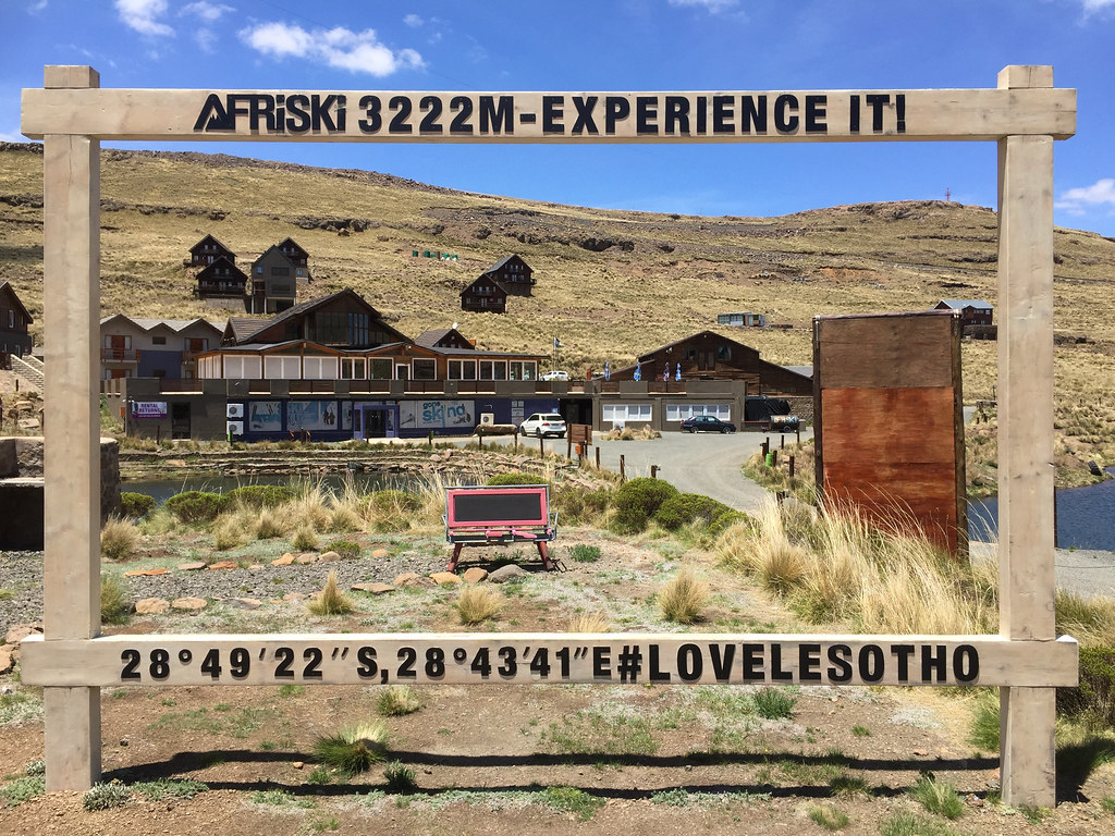
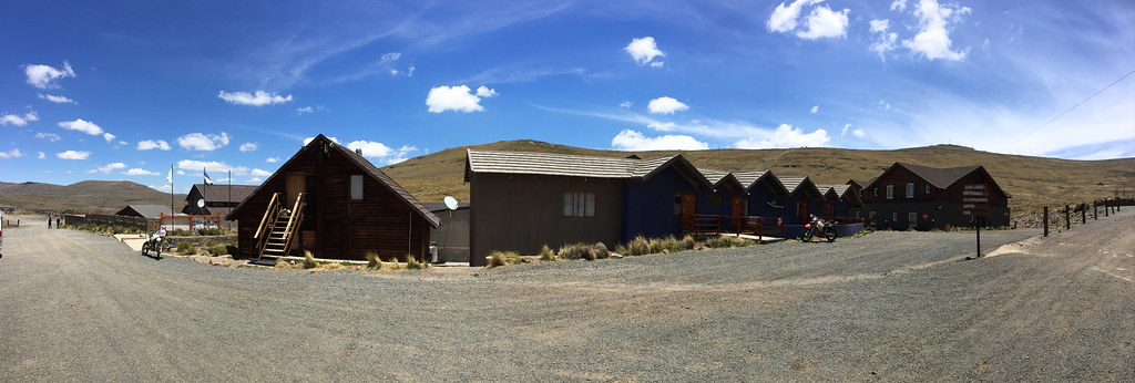
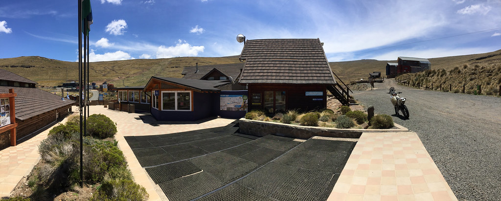
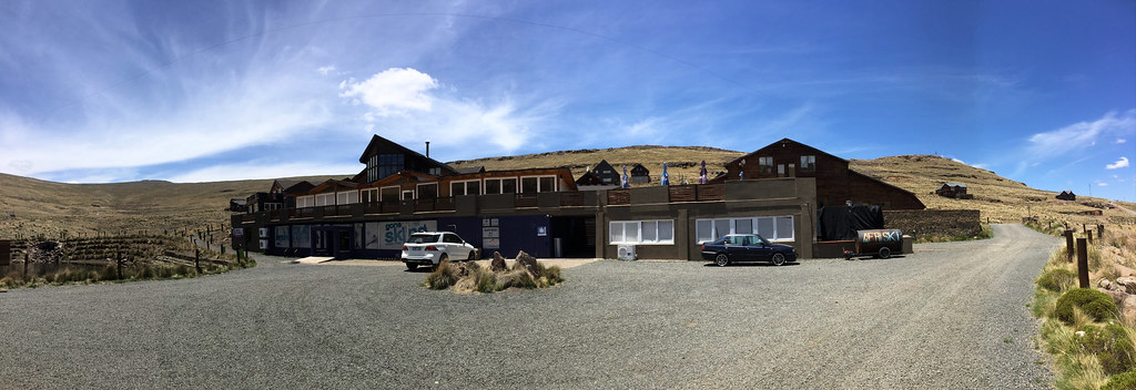
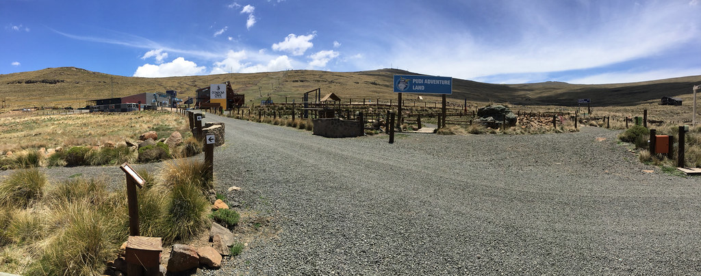
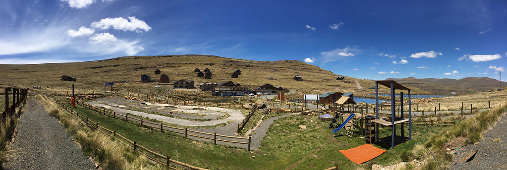
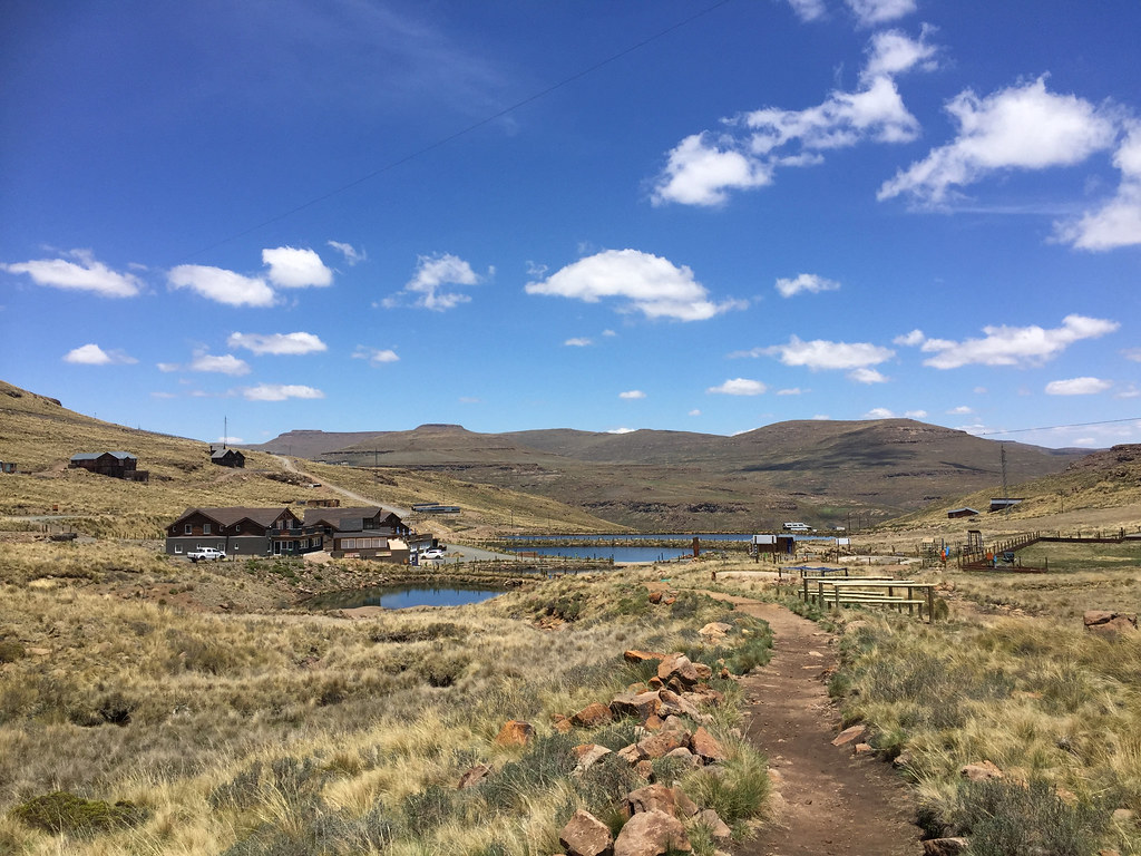
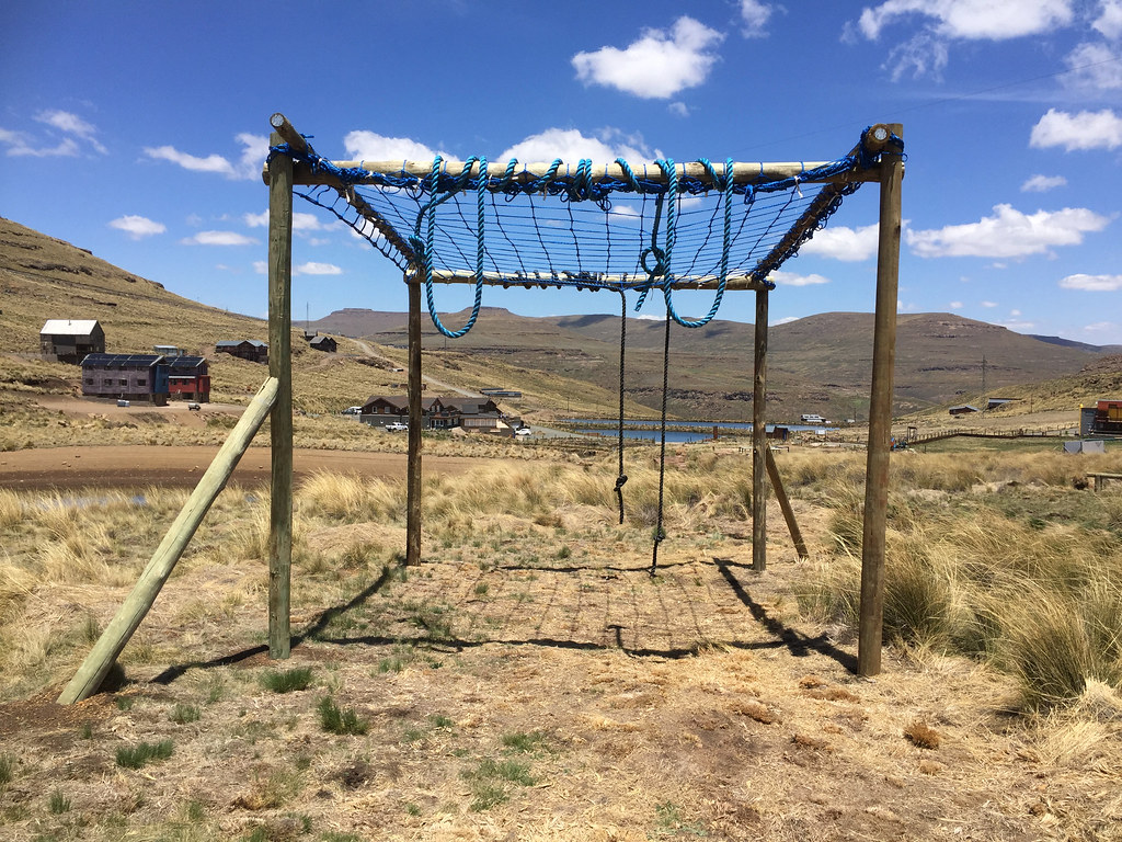
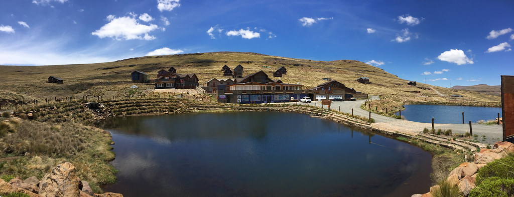
Back at Afri Ski I chilled and took walkabout the area. I have passed Afri Ski 2 - 3 times before but never stopped assuming it is just snobbish upmarket joint for rich and famous. As usually I was wrong. It is actually very convenient base for the exploration of the area with plenty to do. I was quite impressed by the size of the operation. There is of course the ski lift, but also full infrastructure to make artificial snow, including 2 - 3 dams, and quite big park for snowboarders with all those bi mound and jumps and stuff. But - more relevant for this season, there are plenty of marked mountain bike trails in Afri Ski, nice trail for little kids with obstacles, and of course one can ride in the mountains around, including that Mont-Aux-Soures track, which basically takes one all the way to SA on top of the Tugella falls in Royal Natal NP. They also have what I would call monkey trail, but correctly it is probably called cross fit outdoor trail (I’m making this up) with obstacles for climbing and crawling and stuff.  And of course, fantastic DS/enduro riding for anybody who likes to venture off the main road.

I just couldn’t figure out how they survive as during the week that I spent there on and off there were very few quests considering their extensive capacity. Martin told me later that during the three month winter season they are fully booked so that explains it a bit, but I couldn’t understand why there aren’t more guests even in summer considering facilities they provide for wide variety of activities - for a whole family. And they cater for wide variety of budgets with IMO affordable accommodation. Sure, they have floor heated rooms that cost about R700 per night, but they also have bunk beds rooms (for 4 or 10) with their own bathroom for about R300 pp (I paid as single something like 400 for such a room) and they also have backpackers for R150 pp per night (which I assume is shared dorm).

And of course they have the highest restaurant in Africa (as opposite to highest pub on Sani pass - not sure what the difference is - all I know Afri Ski is definitely higher at over 3000m), which has quite limited menu, but still provided breakfast, lunch and dinner (and alcohol) even when I was the only quest (or maybe one of three). I will be back to finish the routes I failed this time.

Here are some Afri Ski pictures:

38566801236_42b849935a_b.jpg


24750731888_64fd281fe6_b.jpg


26847154209_df1565ec3f_b.jpg


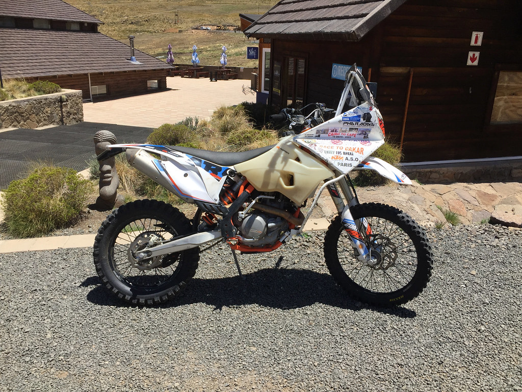
The bike on which founder of Afri Ski rode in 14 or 16 days from SA to Egypt to take part in Faraoh Rally (I think) as qualifier for Dakar. Which he got accepted to and attempted but didn't finish (I've seen the story in bike mags at the time). I didn't meet the gentleman, he wasn't around but the bike is there probably on permanent display

37735306245_ba87902417_b.jpg


26847229059_904480a071_b.jpg


26847125509_a7d4d3fbbe_b.jpg


38566895936_887a37a855_b.jpg


24750803408_a233025a34_b.jpg


24750773968_37f133bcdd_b.jpg


38590747392_3204fca3e5_b.jpg


Next day I rested doing what I like most - nothing. I liked it so much that I took off even the following day - except on that day I at least decided to restock (one shortcomings of Afri Ski is that they don’t have shop with food and stuff). I jumped in the car and headed to Mokhotlong as Googlemaps navigation said it is 50 km away. Sounded strange, but the one time I rode there it was still dirt so I assumed the Chinese found a shortcut. Within few km there was a sign MOkhotlong 90 km, but I pushed on anyway as the road is really nice winding through the mountains, and I had nothing to do anyway.

In Mokhotlong I restocked on food and drinks in Checkers and petrol in the chinese garage and then went on a quest for sunscreen (my face and lips by this stage were peeling off - I left sunscreen home in an attempt to save space in my luggage, not knowing that I will drag the car with me). Sunscreen for some reason is not in high demand (or rather any demand) in Mokhotlong, so I came short even though I really tried. They don’t seem to have even pharmacy there. I failed again so I bought something called ‘Vaseline - pure petroleum jelly - original’ and used that to treat the worst effect of sunburn for the rest of the trip. It makes ones face oily which I guess is a good thing - but unlike sunscreen  it doesn’t get absorbed by the skin (which is probably a good thing) so one you apply it at 3 pm you stay oily until you go to bed and it gets wiped out on the pillow.

Well that is summary of my two and a half days of R&R - tomorrow we ride again.
 
Thanks for comments and following  :thumleft:

Ian, I do not have problem to be alone - I am wired that way. I can fully relax only on my own, when there are other people around there is slight drain on my battery - just the way it is. That said, I do enjoy company like everybody else. I have actually asked my riding buddies if they want to join on the trip. But there are very few people who can take two weeks to go on a trip that has high probability to turn into fiasco, as most of those tracks may have been completely unrideable.

And to be honest, I was glad they didn't join for this trip - when I'm going into completely unknown territory I prefer to first do it on my own as that way there is no peer pressure and I can chicken out whenever I want. With others around (and most of my riding compadres are way more competent riders than me even though they are 10 years older - I'm 45) I feel pressure to not let the others down, which may result in suboptimal and potentially dangerous decisions in the unknown territory.

But now, that I have got a good feel for those tracks and know what to expect, I will make an effort next time to drag them along and I will for sure enjoy the company.
 
Keep it coming :thumleft: My next bike will definitely be something smaller again (250 / 525 / 500)
 
Day 8 - part 1

Relaxed enough, the next day I wanted to re-try the Tsehlanyane river option to see if I can get to Monantsa. Going for breakfast I bumped into Martin (Afri Ski manager) who asked what I’m up to. When I told him he was keen to join as he was really interested to see if one can get to Monantsa as that would give him a nice route for rides he organizes from time to time. It was a working day so he asked me to give him an hour to organize his leave with his bosses.

We left after 9 and headed down the tar road past Oxbow to the river about 25 km away. Once there we hit the cattle tracks and headed up north following the river. I told myself to ride at my comfortable pace and Martin reiterated the same. But this is one of my weak spots, whether it is some childish competitiveness  or conformism - trying not to inconvenience others. Pretty soon I sensed that I am riding in my red zone depleting energy way too fast. I tried to slow down but it probably wasn’t enough to stop the juice leak.

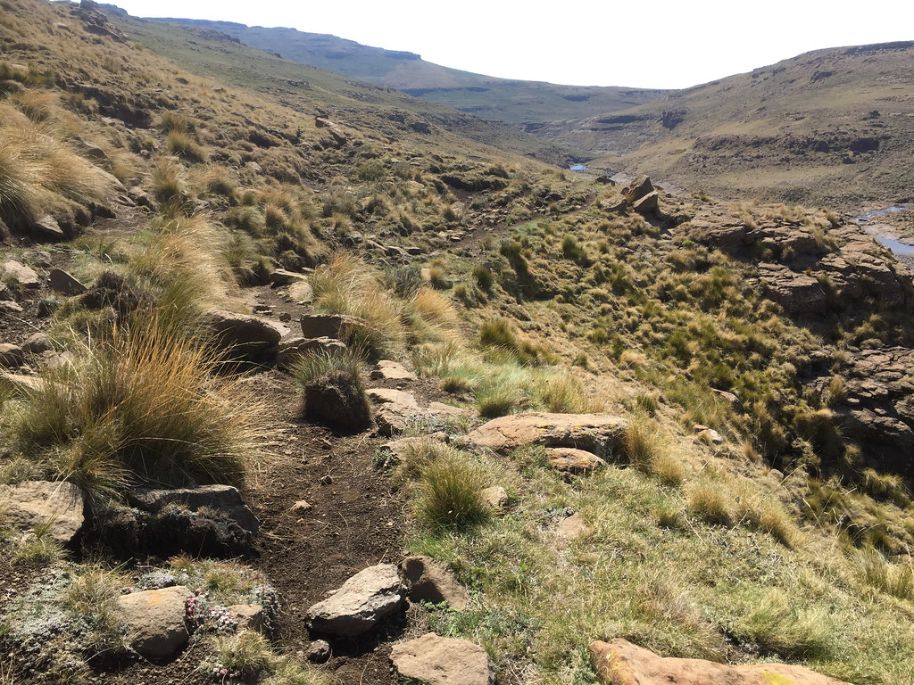
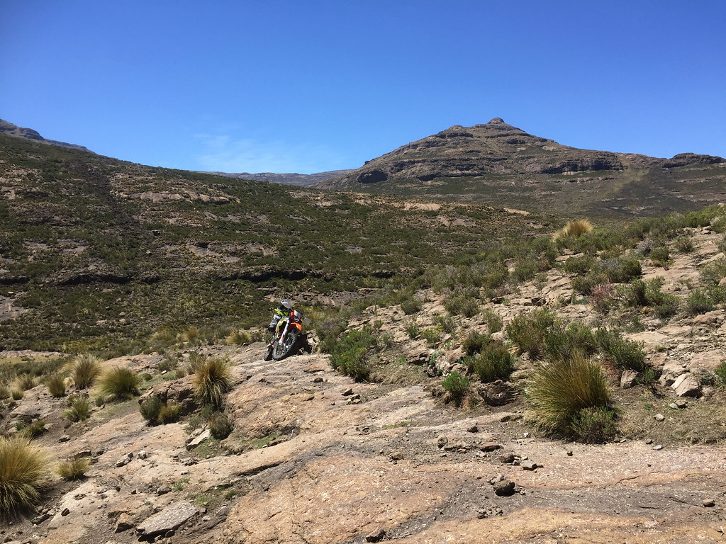
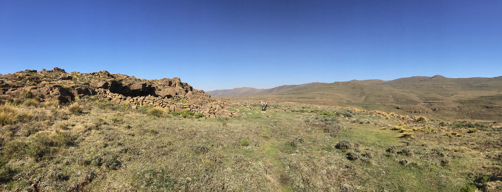
As I said before, the valley which looked quite nice initially narrowed down a bit and we hit long off camber sections. Nothing extreme but with some rocks thrown in and depleted energy tricky enough for me to battle in places. Still I’ve made it through OK, only in one section of soft exposed dirt I walked the bike for about 30 meters.
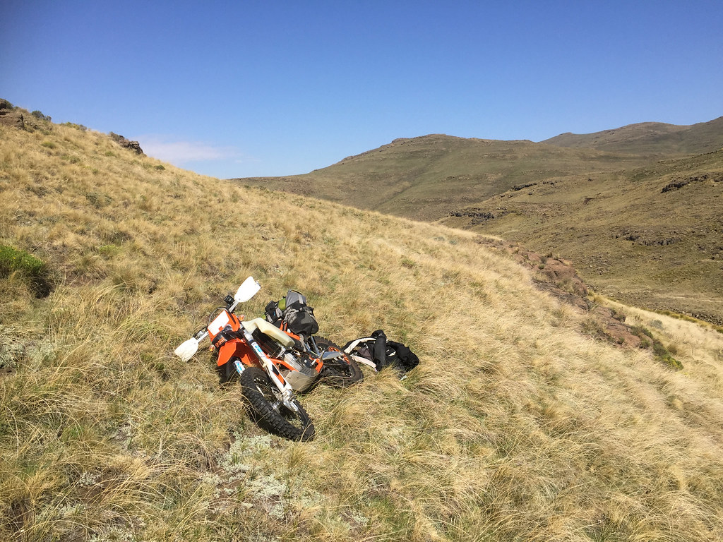
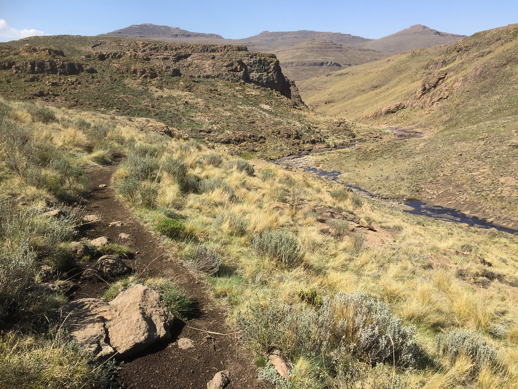

37786030145_864b521800_b.jpg


26897716869_3ec54537eb_b.jpg


37786120815_1dcc8633bb_b.jpg


38641673762_b1bf664763_b.jpg


38673834131_8ac01933ca_b.jpg


37956211094_c15d79ccc0_b.jpg


37786246245_d8932cd12a_b.jpg


38641876462_104a9f797e_b.jpg


Soon Martin stopped short of my red track, turned west and gunned it up straight up the mountain over the rocks and grass knolls - it was a shortcut as my track did run at the top of that ridge. The top was pretty eroded and rough - basically a boulder field, but I managed to find a bit easier path on grass and - while battling in one or two places  a bit  - made it up (or I should rather say 500 made it up).


26898408439_a381fe660f_b.jpg


26898065069_b26537b81a_b.jpg


26898127439_75e10f2990_b.jpg


37956486024_8cf4e9387e_b.jpg


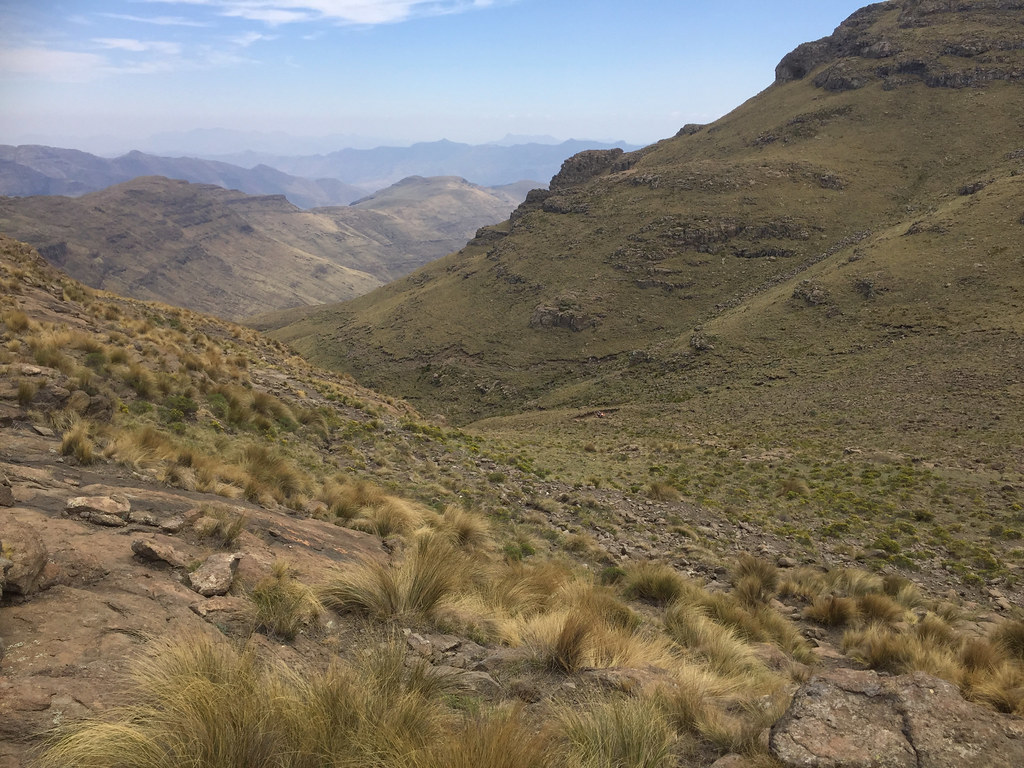
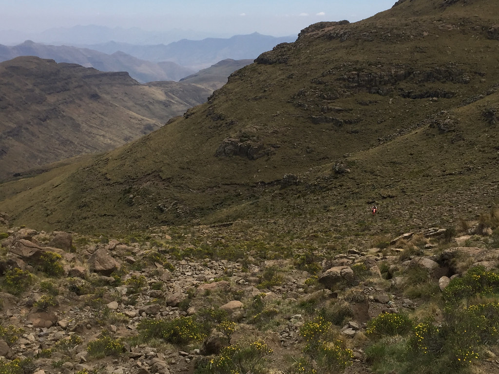
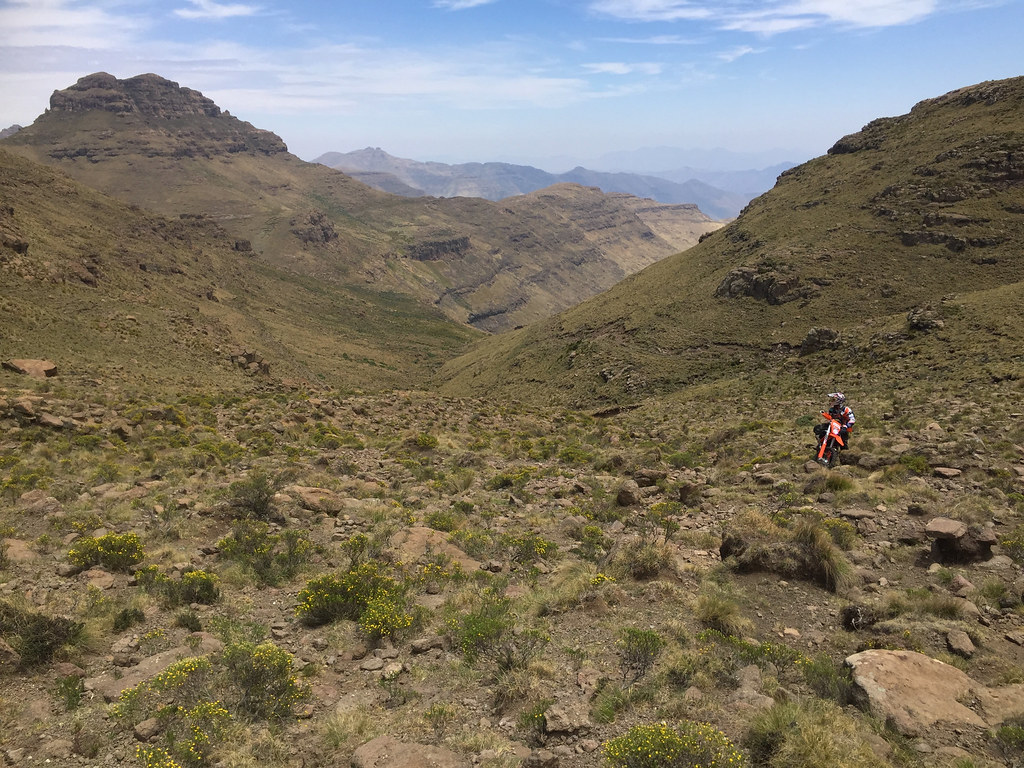
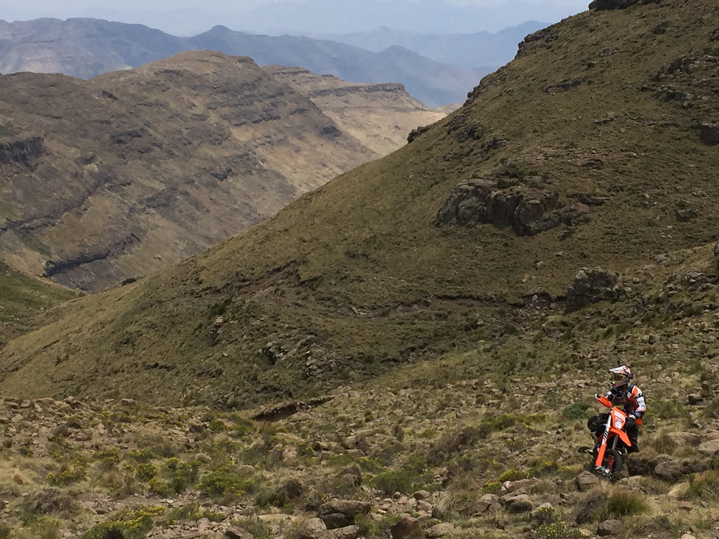
One look down the other side and the riddle of whether can I make it to Monantsa was resolved - nope. This was the last ridge before the highlands on the east of Lesotho descend down to the lowlands (relatively speaking here) of the west. So the ridges and valley are much more dramatic and steep. We could see actually the cattle path following along one of the ridges below, but underneath us was a steep boulder field manageable by Roof competitor, but not by middle aged bimbo on 500 with kitchen strapped to its back.


37786758045_78e3c87679_b.jpg


Martin on top of the ridge:


37956571764_b3cc1abe7f_b.jpg


View down the valley - the cattle tracks down to the valley where I failed many days before follows the ridge in the center of the frame:


38642450542_65c4c00262_b.jpg


37786995505_bd2a92a16b_b.jpg


Boulder field leading down the valley with my bike parked top right:


38642623082_3ff5c3d27b_b.jpg


26897732379_88abfc6053_b.jpg


37956092264_4f73ffb866_b.jpg


Martin - being the Roof competitor he is - decided to investigate further and headed down the slope, while I stayed on top trying to fend off a heart attack. 


37956679144_8dc1e90b6a_b.jpg


Martin disappeared in the valley was gone for quite a while - half an hour or more, so much so that I started worry about. But he emerged eventually unhurt and in few dashes managed to get back up the boulder field. At one point he shouted something which I misinterpreted as cry for help and walked down to the point where he was resting. But he didn’t need help - was just pointing out something interesting. He then proceeded to ride up the rest of the slope without breaking a sweat, while I had to crawl up in fits, finding myself completely out of breath on top - not the way to conserve, let alone energy. I was envious of his skill to ride the bike basically anywhere as - if done right - it was by far the most efficient way to get around.


Martin coming back at the bottom of the valley - if you focus hard you will see his light:


24801459418_808b20d7e4_b.jpg


26897899169_fb6c081241_b.jpg


26897951879_828dc07710_b.jpg


37956295214_a984344c99_b.jpg


37786395625_68f9048952_b.jpg


38618378646_d341baeaeb_b.jpg


37956491574_979047f3bb_b.jpg


38674413591_1aff9bc7e4_b.jpg

Martin agreed that the track is not doable - at least no today, and with me in tow. He got quite far downslope and said the cattle tracks are badly eroded. Moreover, we didn’t know how the track looks further on as it was descending along a pretty rough ridge with few peaks.

So we turned back and headed down the hill  we climbed an hour ago. By this stage clouds were closing in and Martin was keen to move fast as he didn’t bring rain gear. I on the other side wasn’t keen to retrace again to Afri Ski yet - I wanted to continue up the Tsehlanyane river, connect to my trail and try to complete the loop back to the Mont-Aux-Sources track and Afri Ski - the one I have failed on from the other side 4 days ago - hoping that it may be easier getting up the escarpment from this side.
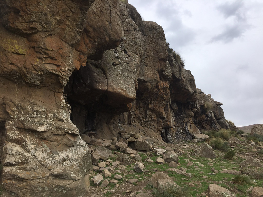
So down at the river we parted our way - Martin gunning it back and me laying down in grass trying to recoup some of the energy back. The weather was closing in, but I could see a cave on a high outcrop about 1 km or so up the river, so I took my time.

38642360952_55782fe910_b.jpg
 
Day 8 - part 2


With some energy back, I kit up and attempted to cross the river getting stuck on the other side properly. Getting unstuck took all the energy I saved up and more - nice move dumbass!


24802156238_cfc68c7e6c_b.jpg


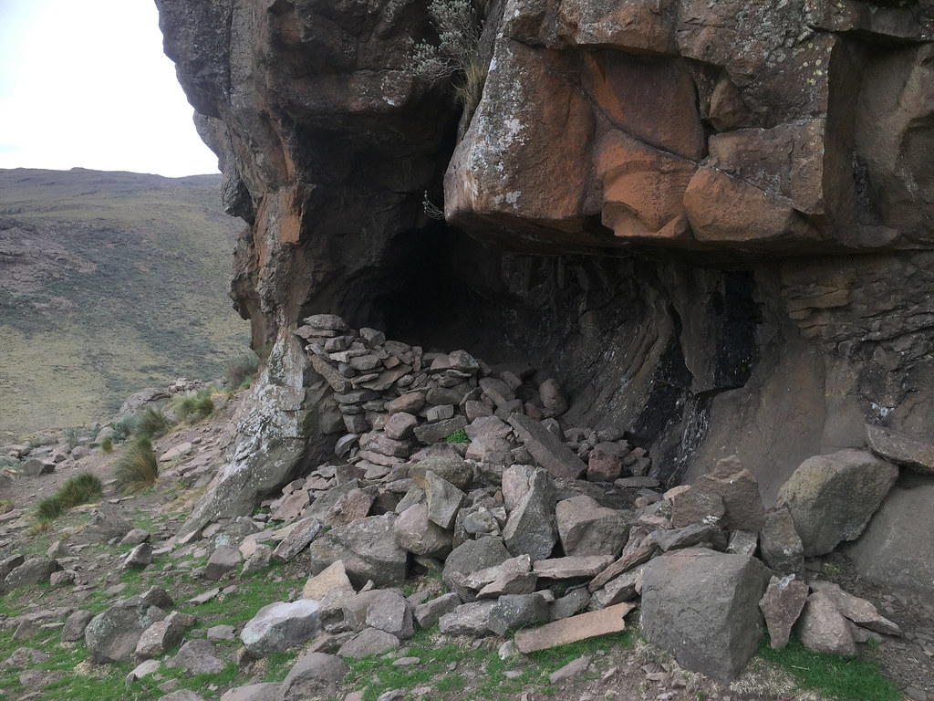
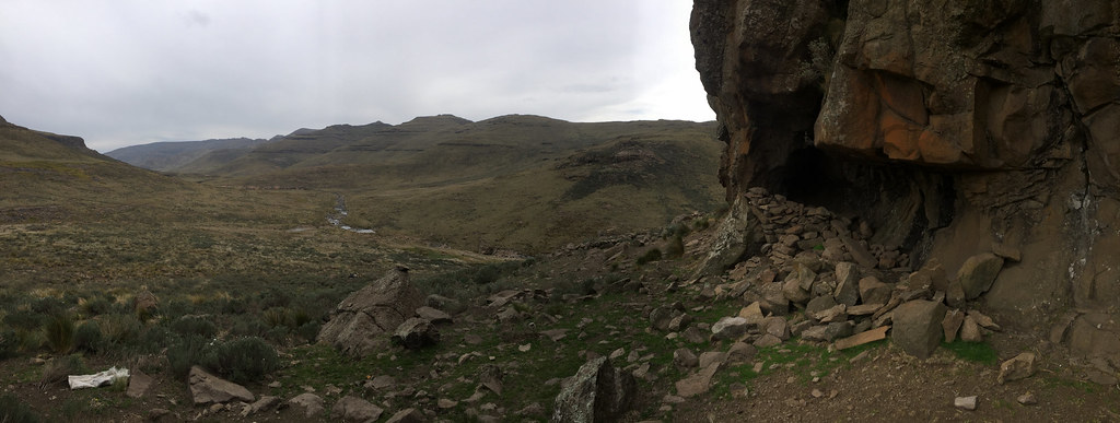
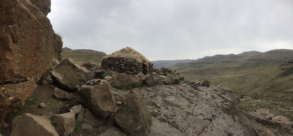
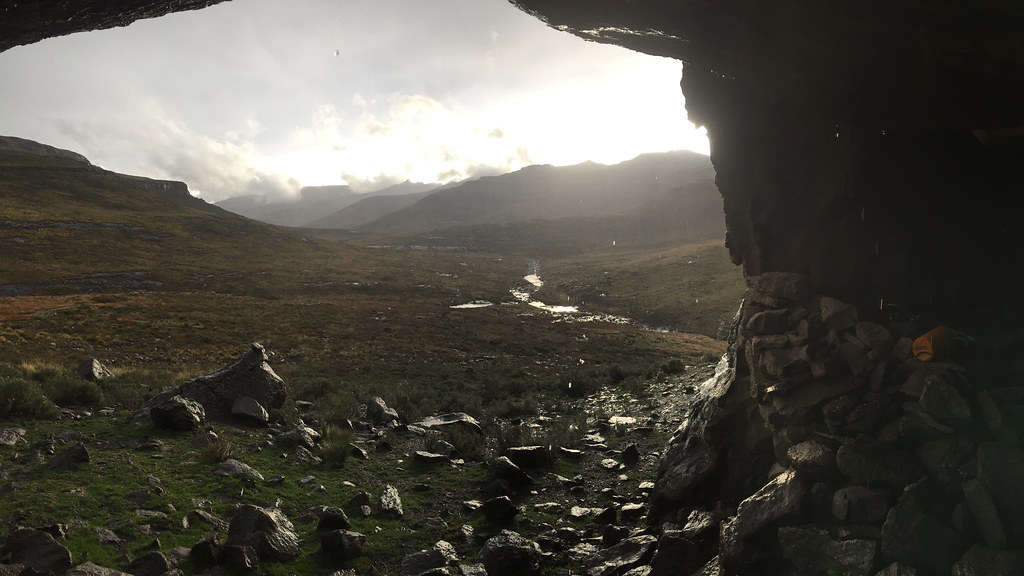
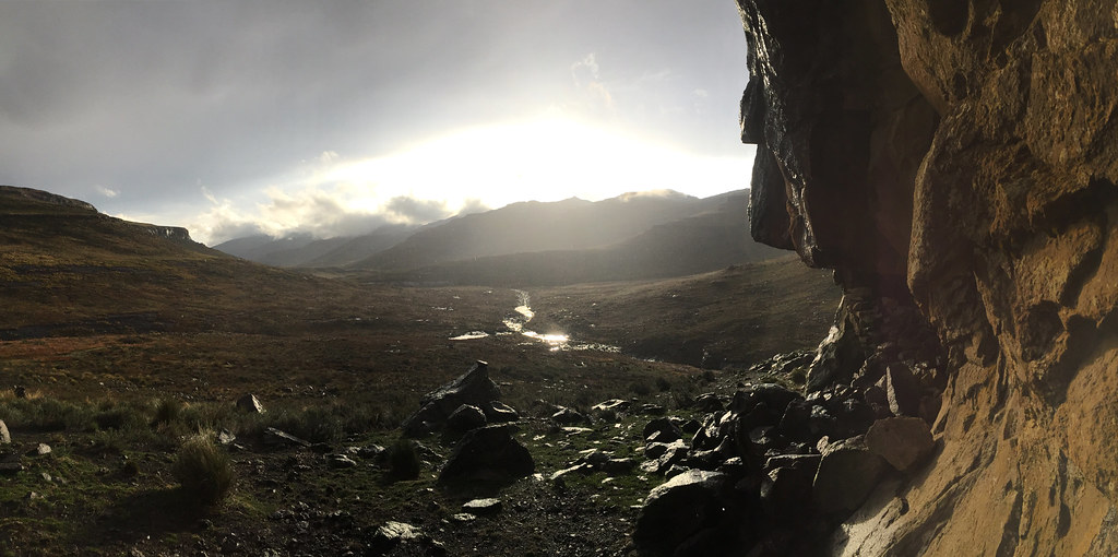
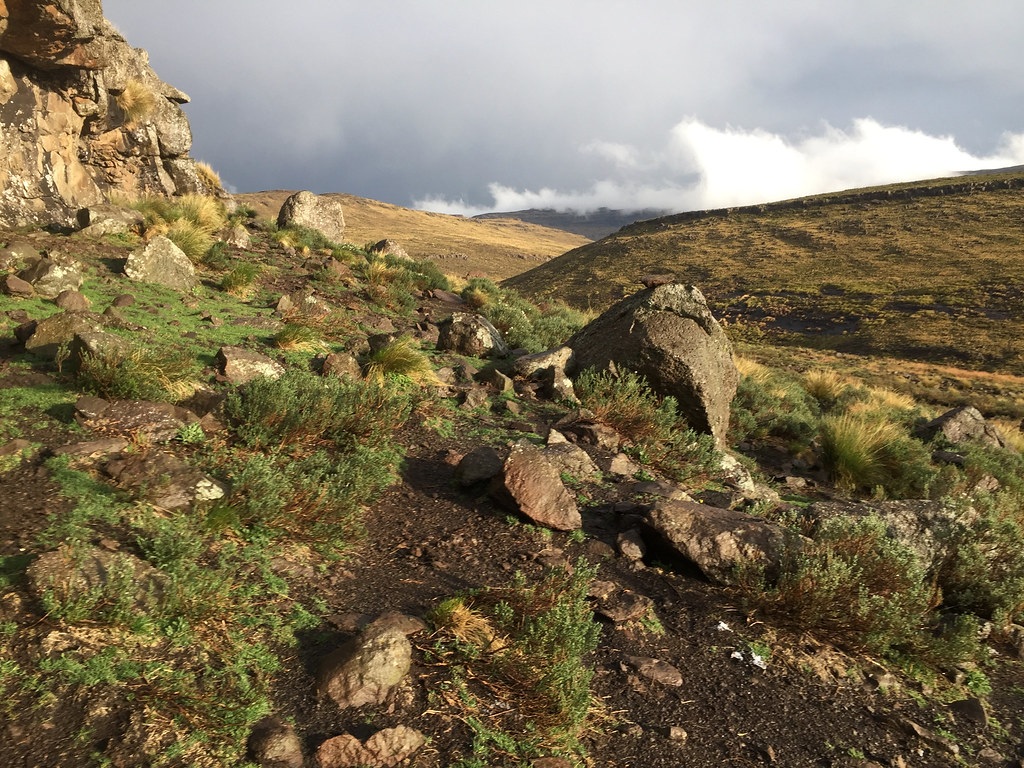
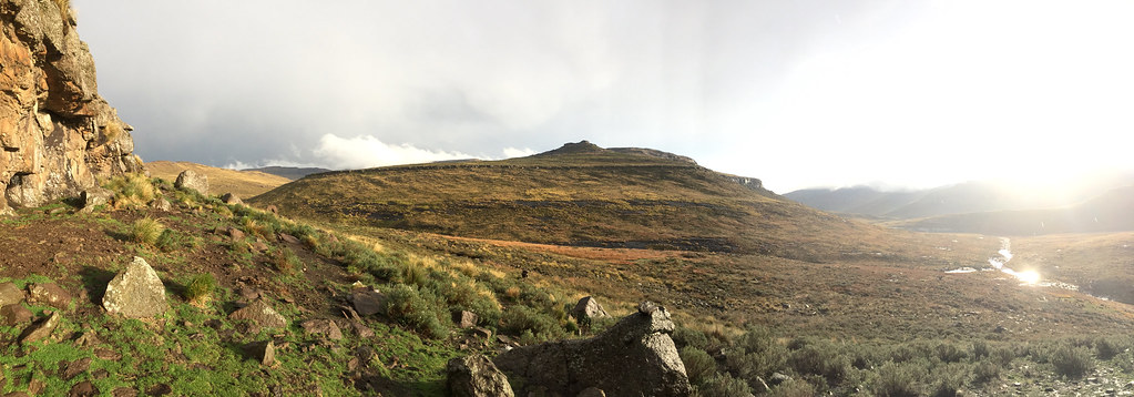
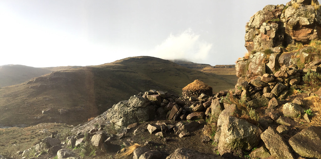
By the time that was done the rain (which was so far always precursor to lightning storm) seemed imminent, so I just gunned it uphill to the cave and went to check it out. It wa a nice one - much better than the overhang I used 4 days before, but not comfortable to sleep in because of the very uneven ground. On the other side there were two huts with commanding view of the valley below - a view any developer worth his salt would kill for. There was nobody there, except strangely enough for a lonely dog who barked his throat away at me. I tried to make friends but he was too scared and kept running away. I wondered what the deal is here - he wasn’t chained and I would have expected that he would be moving with his herd around instead of just hanging around with no one to feed him.


38642475442_d81ab38f55_b.jpg


26898715919_13bdfa6ef4_b.jpg


26898785019_23244a1fd0_b.jpg


38642681532_e875b99227_b.jpg


38618867936_7b66e09458_b.jpg


38640596942_956b58066c_b.jpg


24800413008_01dd696e47_b.jpg


38640655962_b303ca4f8b_b.jpg


38617062886_38cd660ff5_b.jpg


38617193956_bc24067977_b.jpg


As the clouds seemed to burst every moment I bashed the bike through rocks and bushes closer to the cave and settled in.


37955099784_e885a05700_b.jpg


24800496918_97b24dc715_b.jpg


38616963516_12c2d1c8a1_b.jpg


I sat there for about hour or two waiting for the rain and storm but it never came. I was almost annoyed. I expected the storm to give me an excuse to call it a day an recoup some of the much needed energy. Now - still relatively early in the day - probably 3pm - it felt as a waste to hang around so grudgingly I got back on the bike and tried to push on. But the ground was rough on a relatively steep slope with rocks and bushes (or whatever those small but hard and dense knolls are called) and it took quite a bit of effort to follow narrow and erratic single footpaths through. To get out of those bushes and on flatter ground I followed without much thinking one of the paths that was heading steeply straight down to the river. The last 30 meters or so were very steep and I had walk the bike down realizing too late that I’m being stupid as should I need to come back again I would never be able to make it up. Luckily, later I found much easier route around.


38617267256_9798757783_b.jpg


38641122142_8847c8c1c6_b.jpg


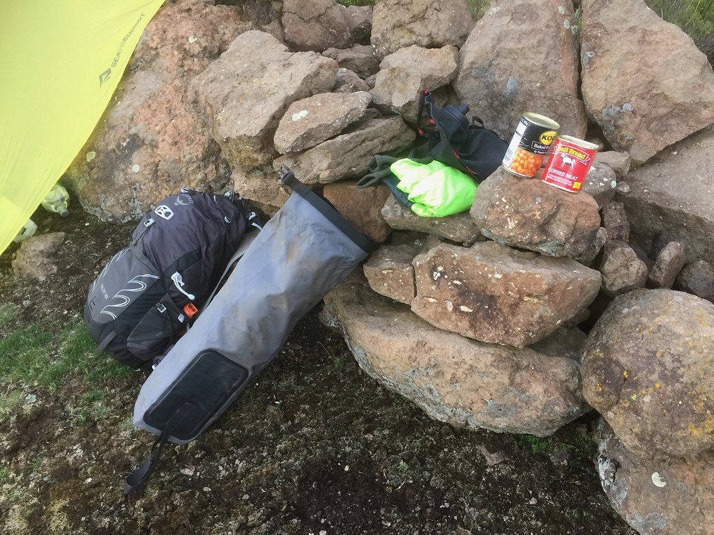
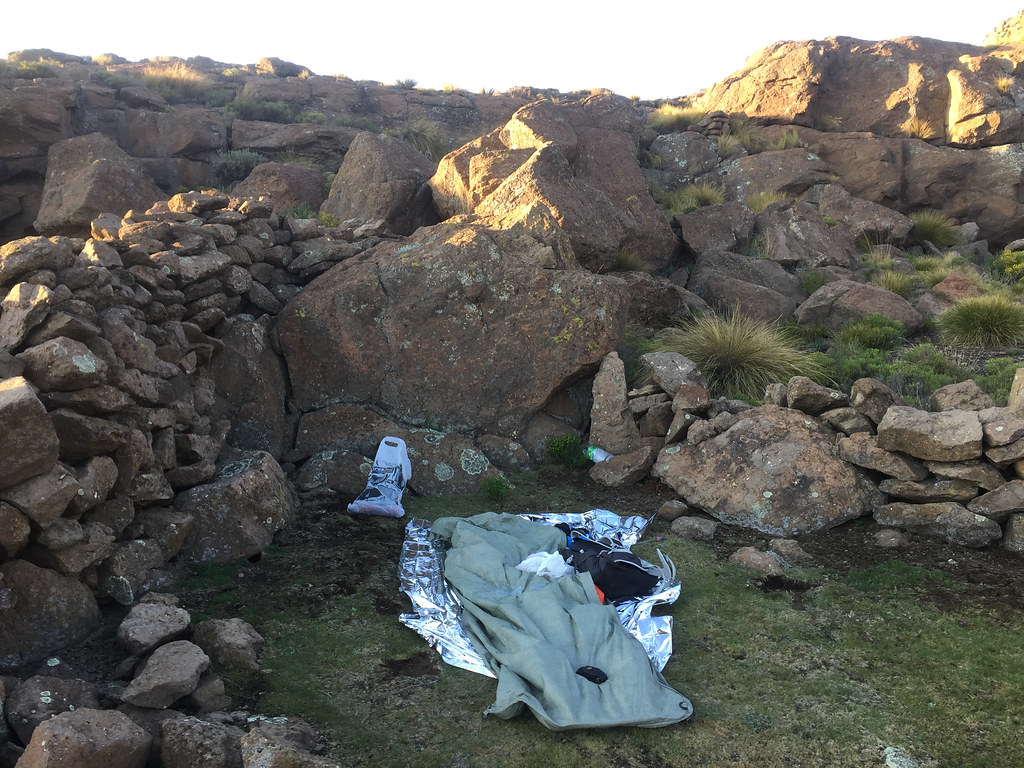
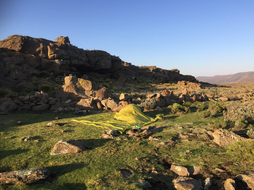
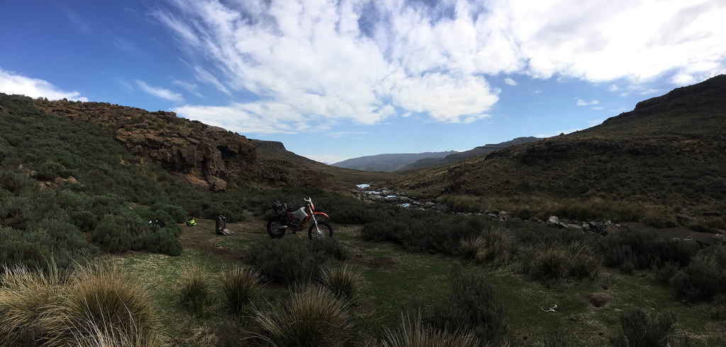
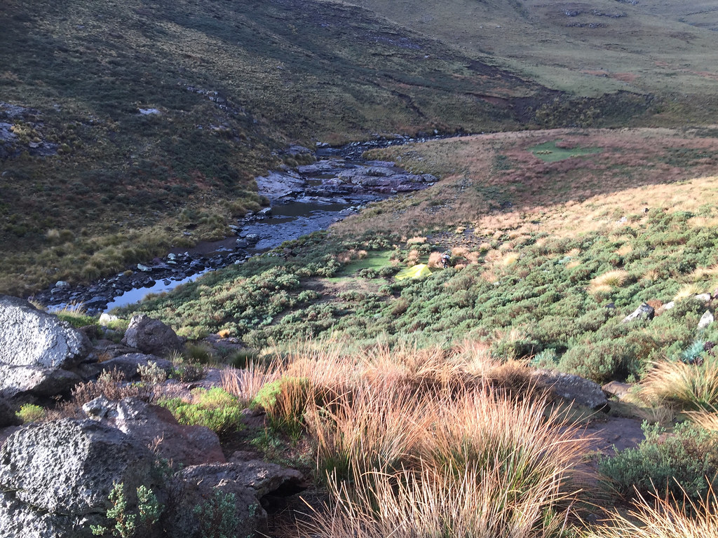
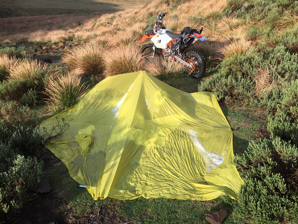
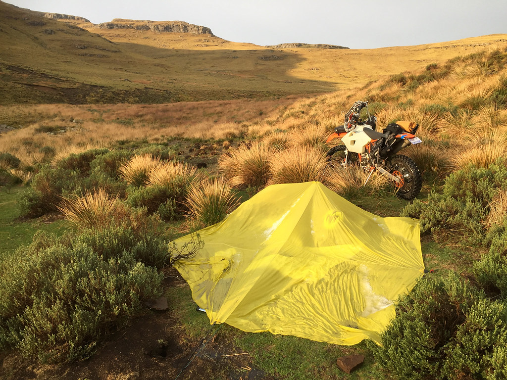
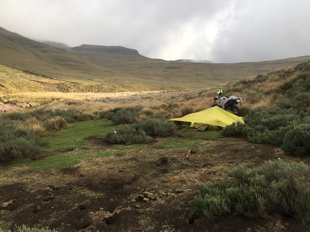
At the bottom of the hill was nice flat spot with soft grass - ideal for camping. Manhandling the bike down the slope used up my last energy reserves (about 200 meters from the cave where I started with intention to push on), so I just called it a day blowed up my mattress and took a nap (the clouds by now seemed to be moving away). I got woke up rudely a while later by the sound of thunder. Not keen to pack up all the crap laying around (packing is always way harder than unpacking - one of the reasons I normally steer clear of camping), I quickly put up a tarp and stocked all my gear underneath in a waterproof bivvy bag and legged it up the slope back to the cave.

This time storm did came with a vengeance and it got very cold. I had to keep my hands inside my backpack to keep them from freezing.


37955276504_66e4a2892d_b.jpg


37955562294_3ac0909c80_b.jpg


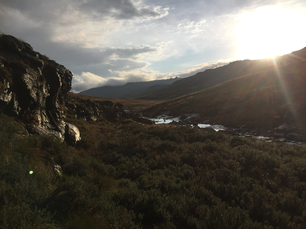
An hour or so later the storm passed and the sun showed up tentatively shining through the gap in the clouds and providing magnificent golden hour.


37906313354_b88b90da7f_b.jpg


26847812909_f3a52b335b_b.jpg


38567557326_5b650c1fe4_b.jpg


38623997851_4d254df7b5_b.jpg


38624071721_3603299ece_b.jpg


37906500874_9a1866d8cd_b.jpg


38673738411_cbce671915_b.jpg


I walked back down to the camp to find that my bushcraft was not up to scratch. The tarp was collapsed onto the gear underneath with bits of snow/hail on top - which was weird because I didn’t notice any of that from the cave, but it did explain a bit sudden drop in temperature.


37786176805_76ded2c08e_b.jpg


37786202255_145c435db6_b.jpg


26897933299_581742ae81_b.jpg


38674015301_b08acd64f6_b.jpg


38641972202_db737c712a_b.jpg


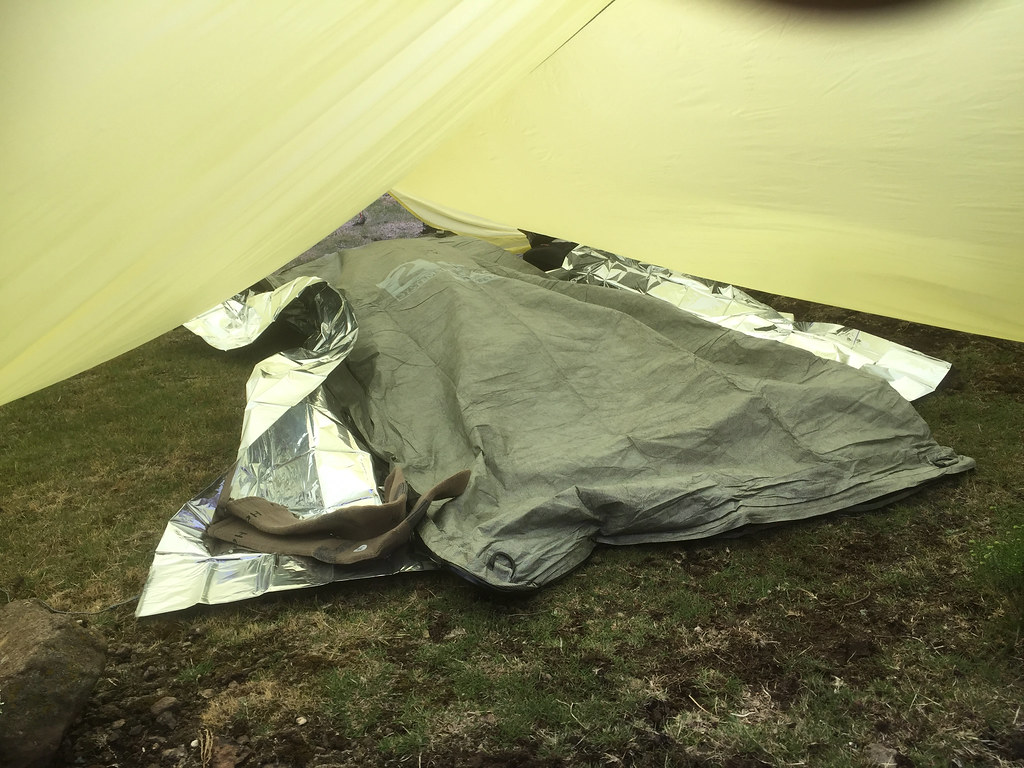
The good news was that the bivvy bag and tarp did its job and the gear underneath was dry. I fixed the tarp and cooked one of those prepacked ready meals from Outdoor Warehouse. Just as I finished already in darkness, another storm approached, so annoyed I legged it uphill back to the cave. This storm passed close by so after while I got back to camp and settled in the bivvy bag for the night. The weather was shit and another storm highly likely, but I had enough of the commute and decided to stay in the camp assuming it was OK as it was at the lowest point of the valley under pretty high hill. It was really cold so I used both bivvy bags inside each other and stayed nice and warm throughout the night, most of which it was raining.
 
Xpat said:
Thanks for comments and following  :thumleft:

Ian, I do not have problem to be alone - I am wired that way. I can fully relax only on my own, when there are other people around there is slight drain on my battery - just the way it is. That said, I do enjoy company like everybody else. I have actually asked my riding buddies if they want to join on the trip. But there are very few people who can take two weeks to go on a trip that has high probability to turn into fiasco, as most of those tracks may have been completely unrideable.

And to be honest, I was glad they didn't join for this trip - when I'm going into completely unknown territory I prefer to first do it on my own as that way there is no peer pressure and I can chicken out whenever I want. With others around (and most of my riding compadres are way more competent riders than me even though they are 10 years older - I'm 45) I feel pressure to not let the others down, which may result in suboptimal and potentially dangerous decisions in the unknown territory.
Hey Martin. You made my day.
But now, that I have got a good feel for those tracks and know what to expect, I will make an effort next time to drag them along and I will for sure enjoy the company.
 
Good one Martin. Would have loved to be there. And glad you made it back without too much fuss.
 
:thumleft: awesome! im jealous and with you on the solo requirement. much better for the soul! and safer for the body.  :3some:
 
TK said:
Xpat said:
Thanks for comments and following  :thumleft:

Ian, I do not have problem to be alone - I am wired that way. I can fully relax only on my own, when there are other people around there is slight drain on my battery - just the way it is. That said, I do enjoy company like everybody else. I have actually asked my riding buddies if they want to join on the trip. But there are very few people who can take two weeks to go on a trip that has high probability to turn into fiasco, as most of those tracks may have been completely unrideable.

And to be honest, I was glad they didn't join for this trip - when I'm going into completely unknown territory I prefer to first do it on my own as that way there is no peer pressure and I can chicken out whenever I want. With others around (and most of my riding compadres are way more competent riders than me even though they are 10 years older - I'm 45) I feel pressure to not let the others down, which may result in suboptimal and potentially dangerous decisions in the unknown territory.
Hey Martin. You made my day.
But now, that I have got a good feel for those tracks and know what to expect, I will make an effort next time to drag them along and I will for sure enjoy the company.

Yeah, I was talking about you. Remember last time you and Greg left me crying behind in DeWildt? :peepwall:  :imaposer:
 
Xpat, and if you fall of a cliff? ..what about our RR? :eek7:

Serious though, the Drakensberg is nobody's friend! I've done a couple of Rhino peak and other climbs, it can become scary. Not to mention the weather!! I suppose you have good emergency/backup plans..

Nice RR btw.
 
Top