You are using an out of date browser. It may not display this or other websites correctly.
You should upgrade or use an alternative browser.
You should upgrade or use an alternative browser.
Lesotho Rock'N'Roll
- Thread starter Xpat
- Start date
This site may earn a commission from merchant affiliate
links, including eBay, Amazon, and others.
Day 9 & 10
I woke up to miserable cold morning with clouds passing very low. I’ve seen this before in the mountains just before snow started falling and hoped it will clear once sun gets higher and warms things up. There was a brief promising break in the clouds but it didn’t last and the snowstorm clouds returned with vengeance.
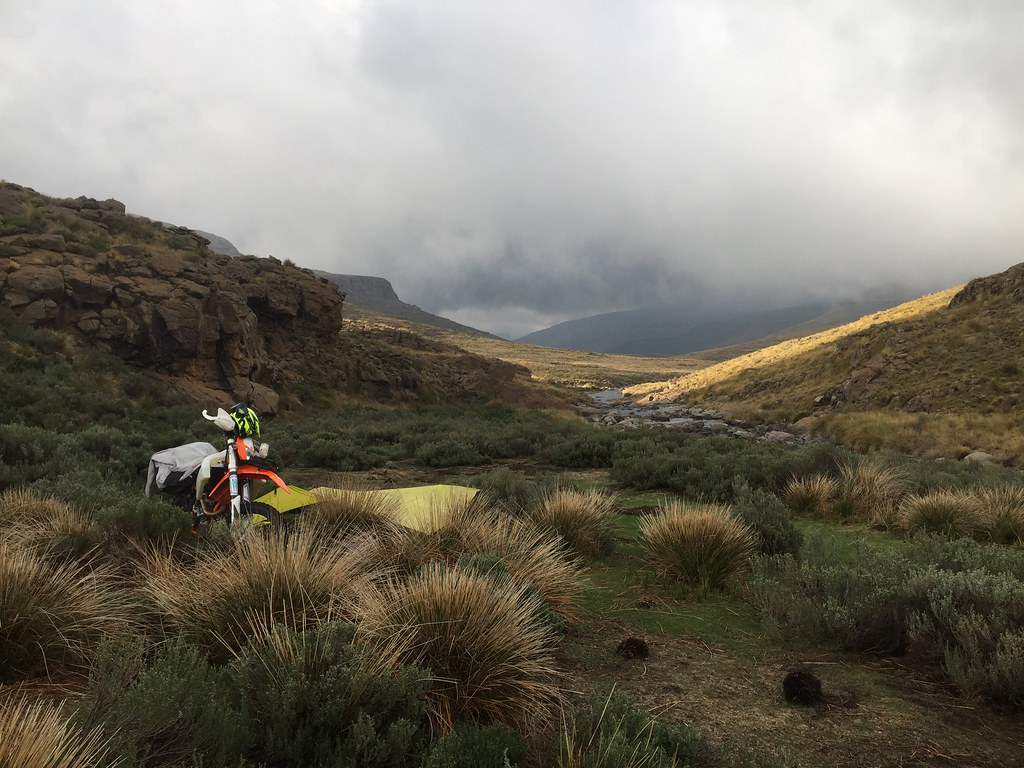
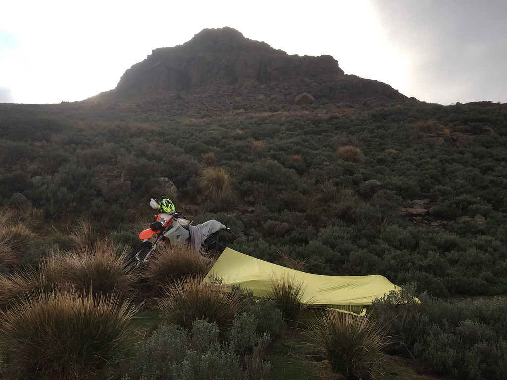
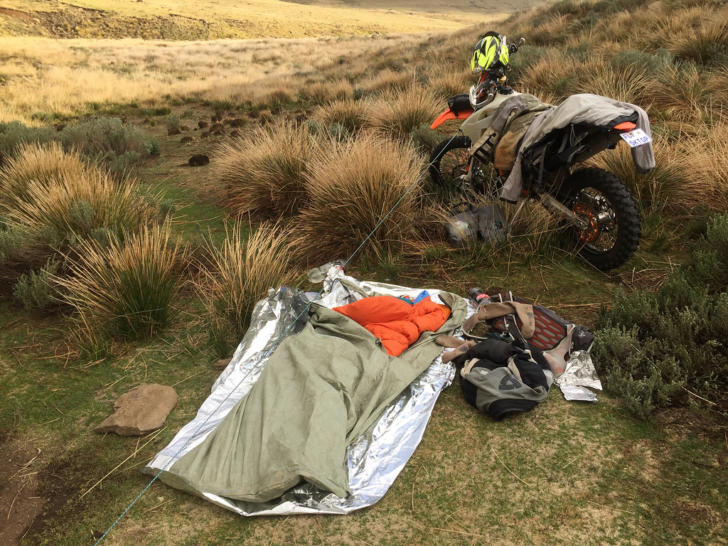
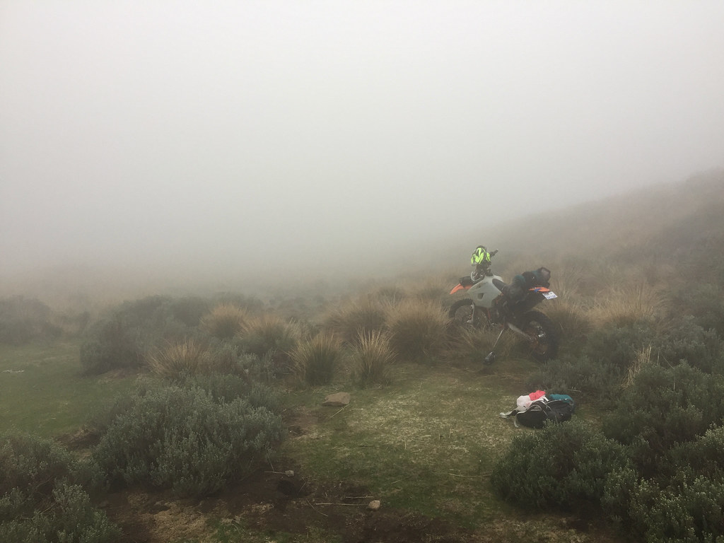
Nothing I could do about it so I made myself a breakfast and broke the camp, and got ready to go, until fog moved in and the visibility dropped to about 10 meters. The whole place felt like scene from the Hound of Baskerville and I was wondering what the poor doggy up on the hill is up to. It was unpleasantly cold and for a moment I considered just getting back into the bivvy sack and sleeping this out.
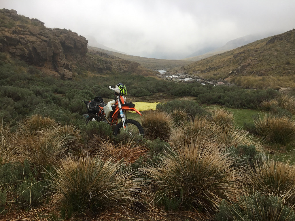
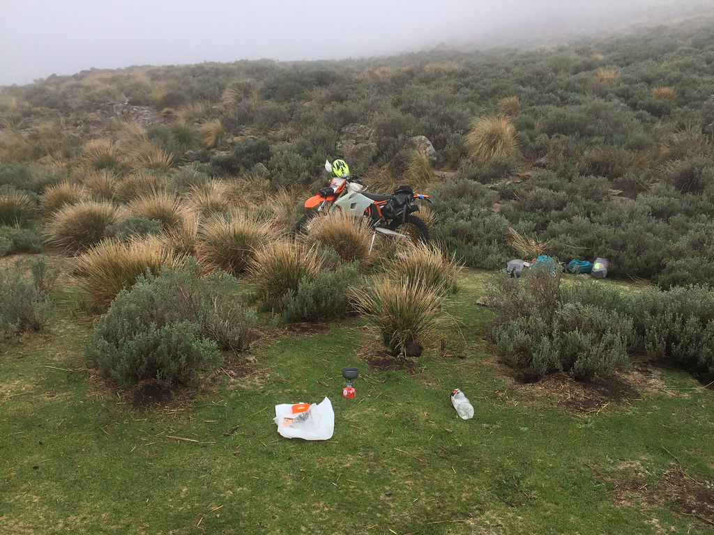
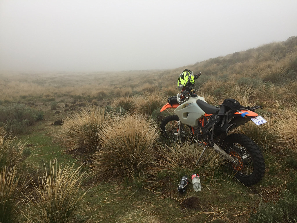
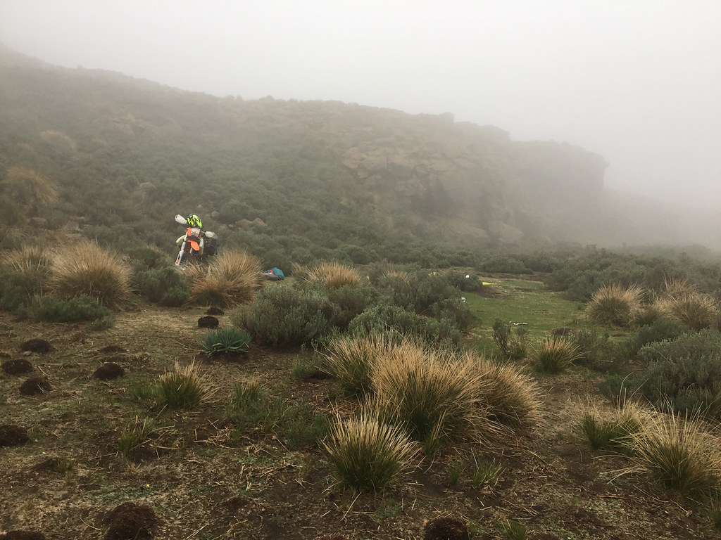
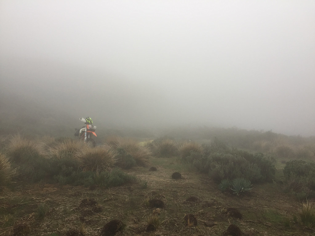

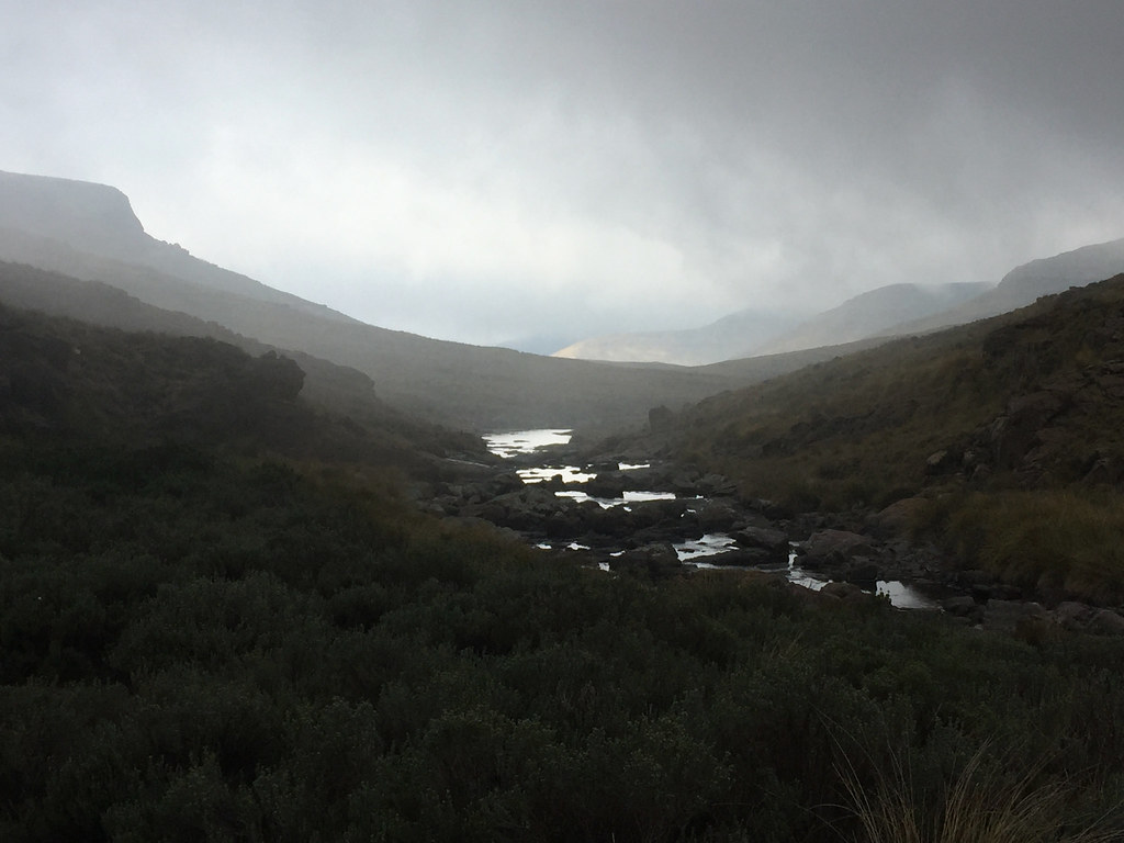
Eventually the fog cleared, but the low clouds kept me on my toes for the rest of the day. I set-off and pushed on up the valley following the river. The valley opened up and I was able to make good distance over the flatter terrain alternating between the sides of the river where the terrain looked better. The only annoying bits were the river crossings which had to be done with utmost care as the rocks were super slippery.
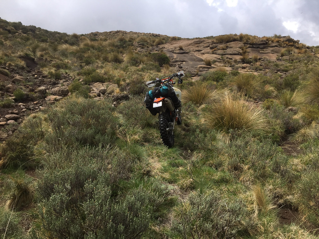
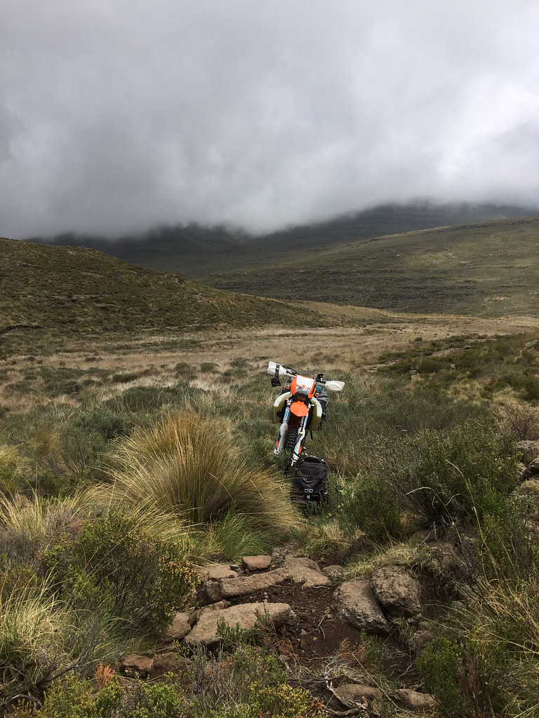
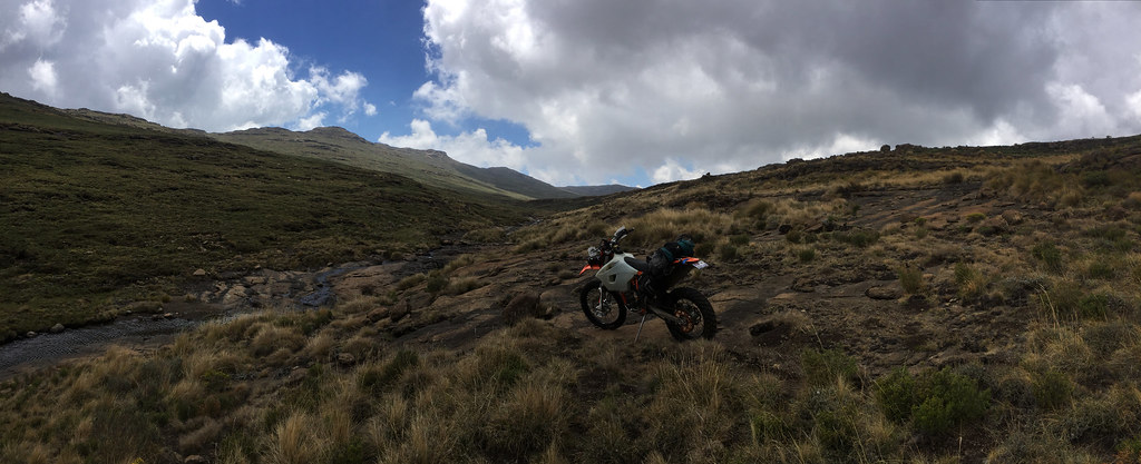
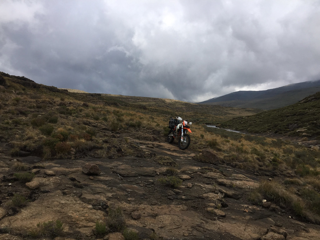
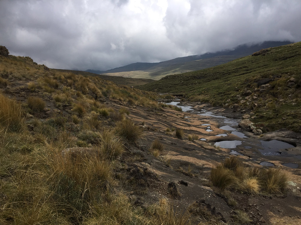
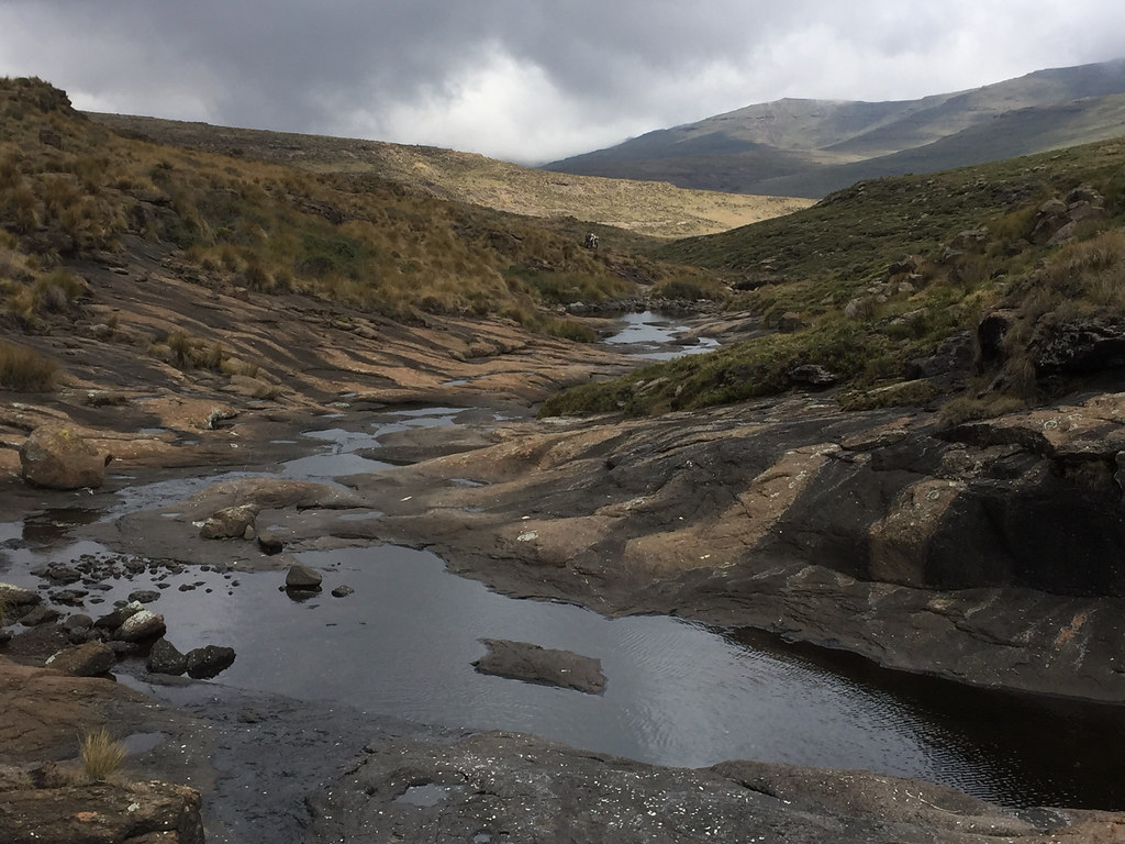
I was making good progress making up the river valley, which after few km of going north turned east and climbed up towards the escarpment that defeated me few days back on the other side. Escarpment at the top of the valley:
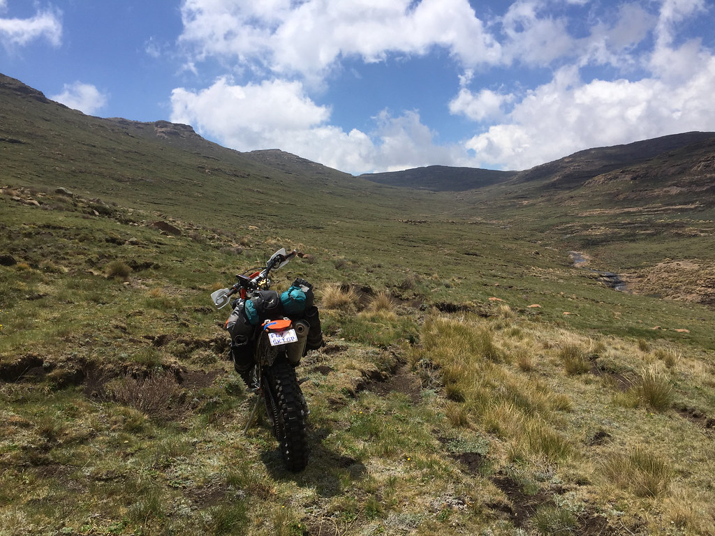
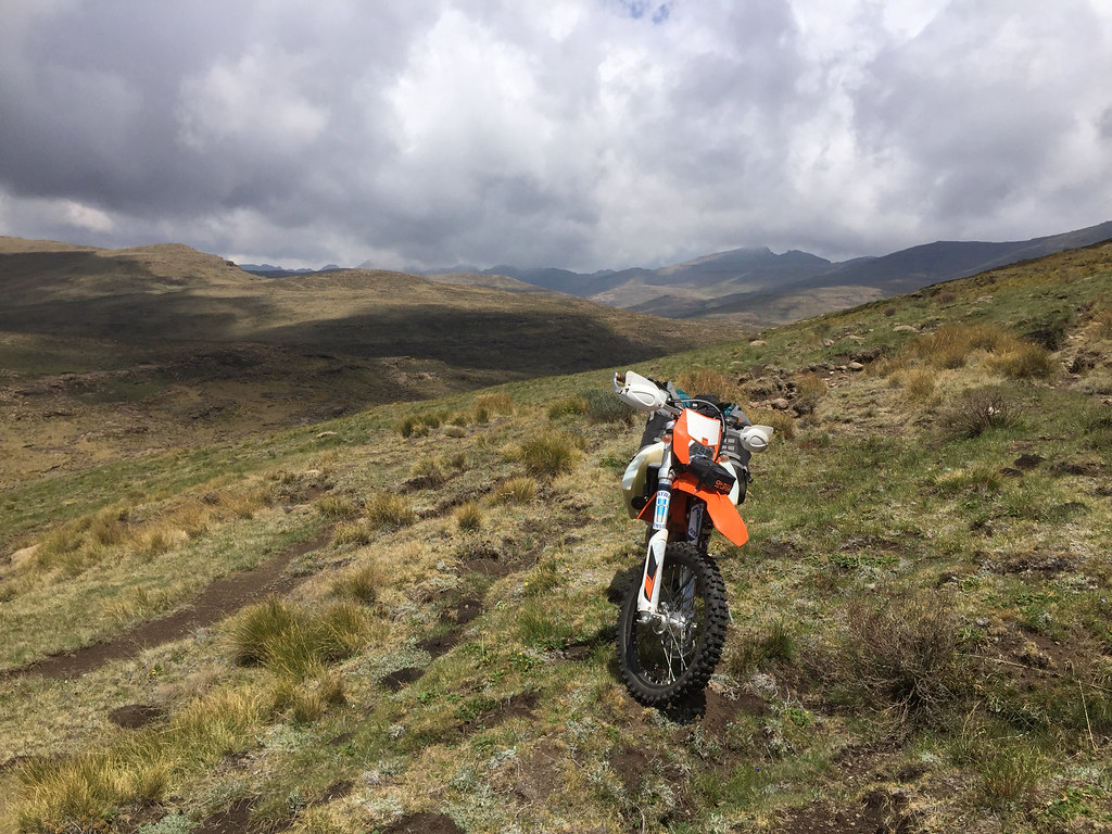
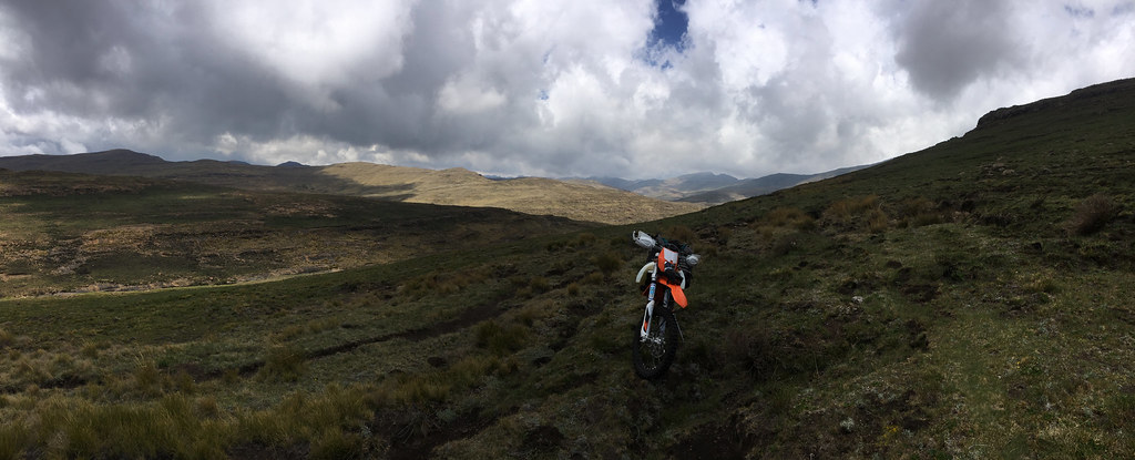
All was looking good until the valley narrowed down, which funneled the cattle that used the path to one please with resulting erosion of the path. I pushed on, but after few 100 meters came to a ditch where the path was blocked (not for more skilled riders, but for me) by big boulders.
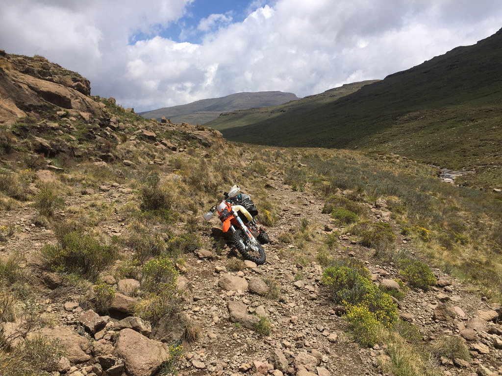
So close and so far at the same time:
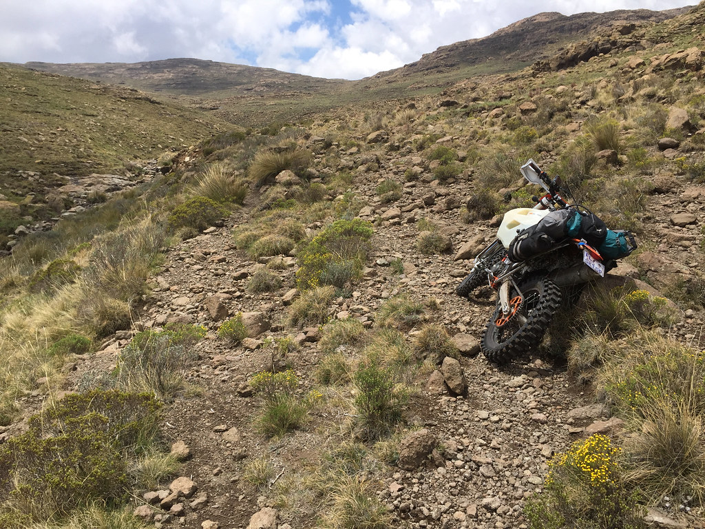
The showstopper:
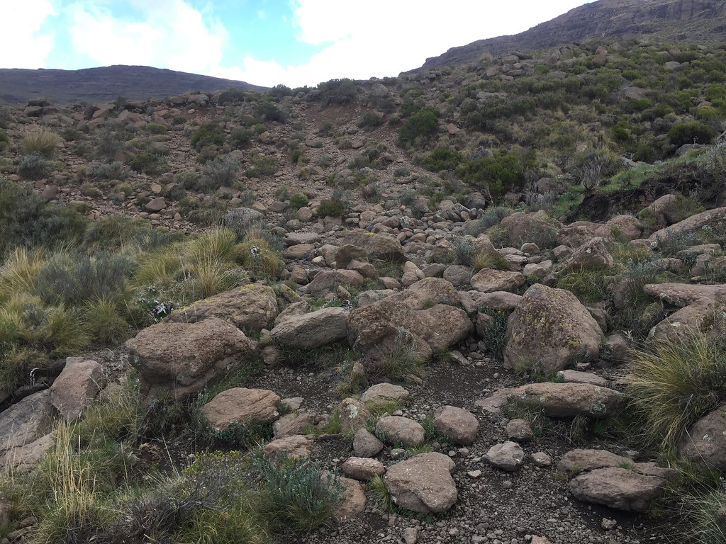
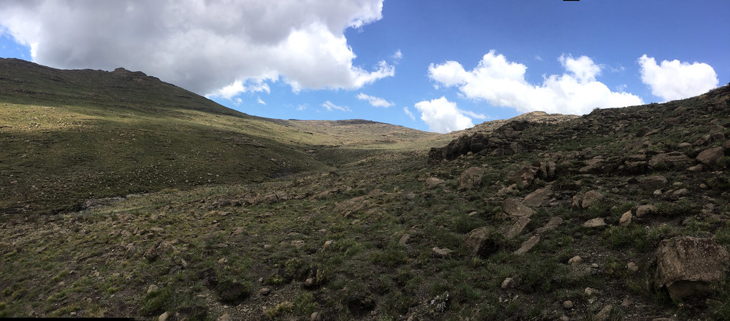
I didn’t feel like trying to manhandle the bike over those - even if I would succeed, I would most probably end up severely depleted of energy on the other side. So I took a walk around trying to see if I can find some lucky break further up the hill. It looked promising in couple of places, but all turned out to be dead ends.
I could see that the other side of the valley was a bit steep, but figured doable with a bit of zig zagging (I was getting better on this off camber thingy out of necessity). So I backtracked a bit, crossed the river and gunned it up. It was going OKish, but was quite precarious business.
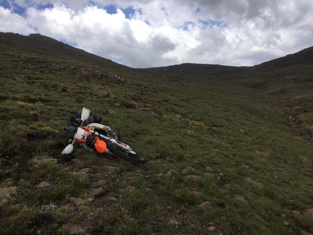
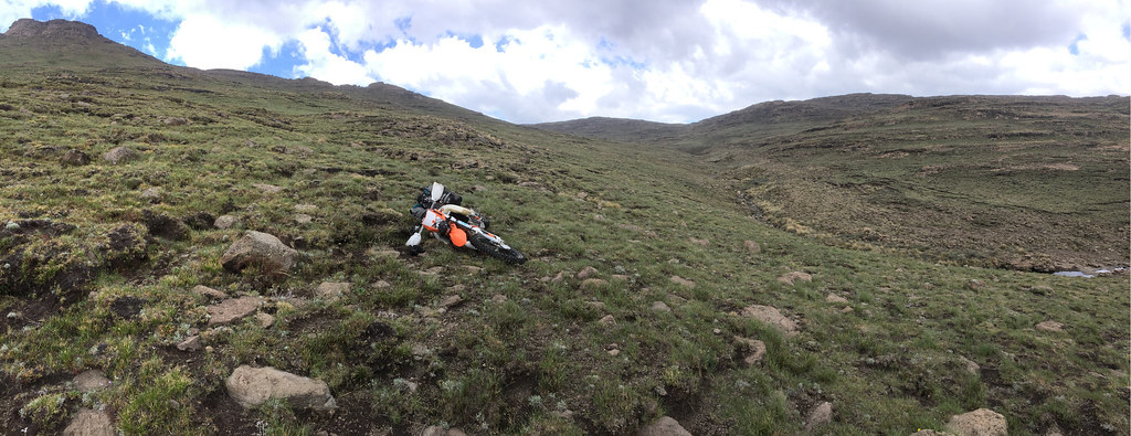
At that point I felt few raindrops and that was it - if I may have had some chance to get further up in the dry I didn’t fancy being caught up higher up in the rain (let alone lightning storm). If I would need to back-track on the wet offcamber, which could be nasty. So for the second time, I turned back away from this bloody escarpment. It was a bit annoying, because I felt I have reasonable chance if the weather didn’t turn against me, and this time I felt also much more confident than first time, because I knew what lay behind. I knew that if I make it over, it is relatively easy 3 hour ride back to Afri Ski - while on my first attempt from the other side I didn’t have a clue what lies behind which does dampen one’s motivation a bit.
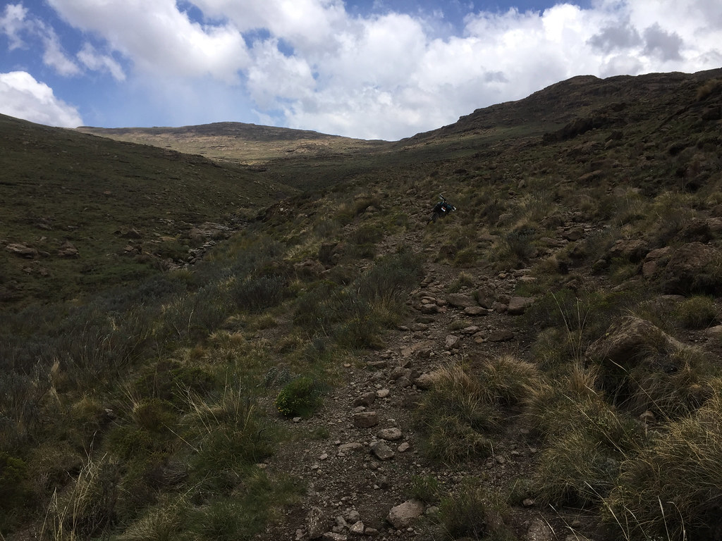
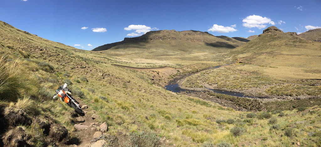
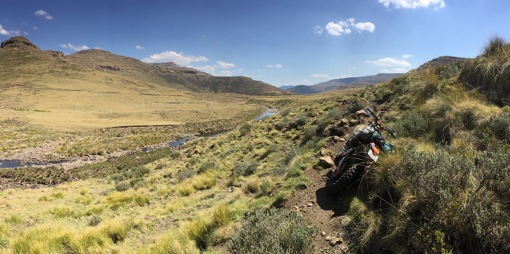
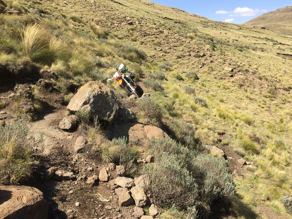
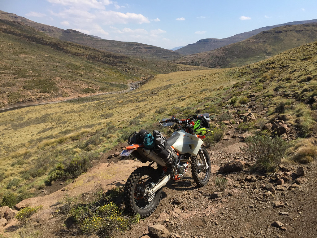
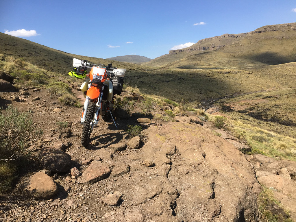
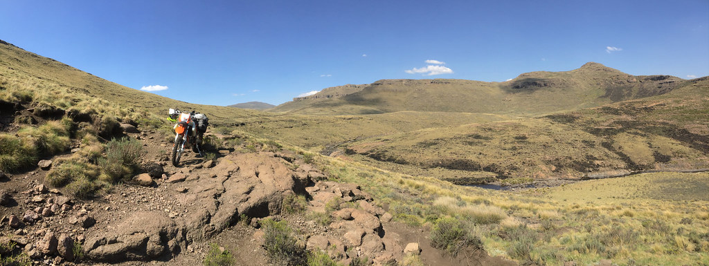
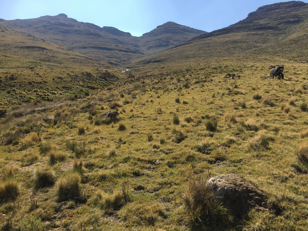
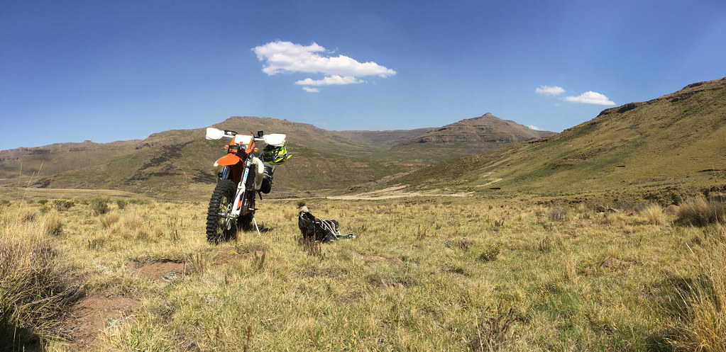
I back tracked the way I came and was in good form moving steadily downriver towards the tar. Not worth describing again, I’ll let the pictures do talking:
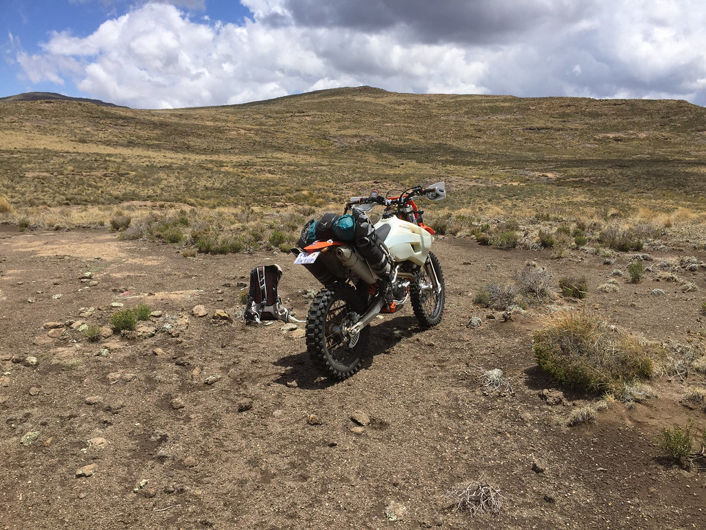
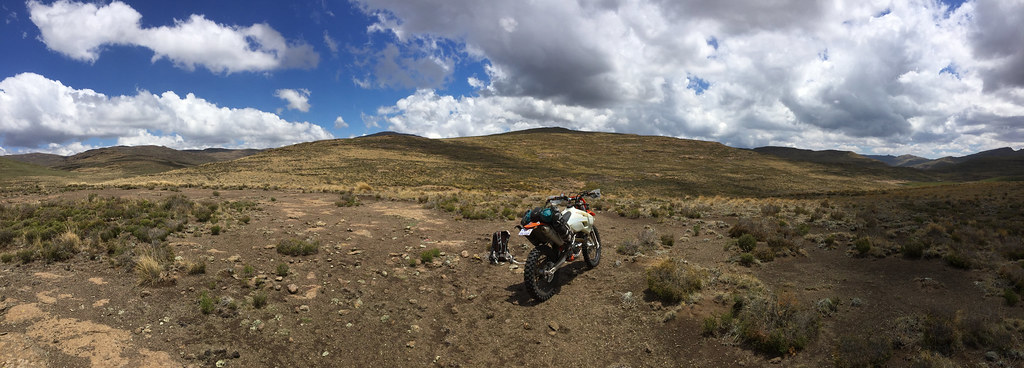
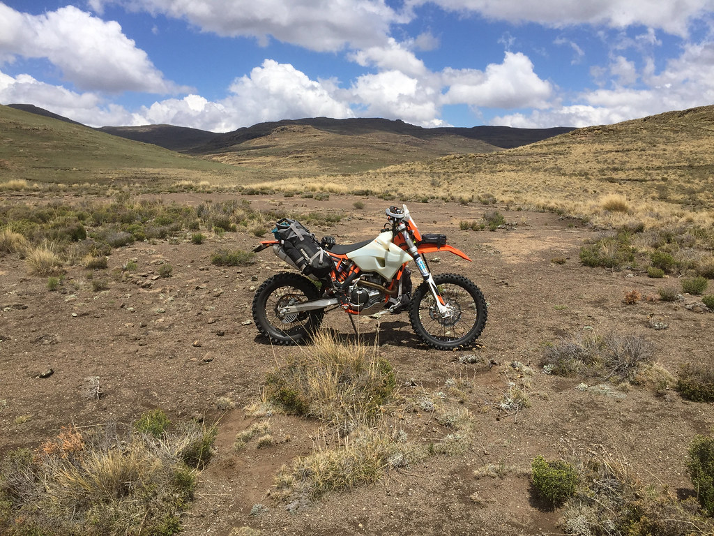
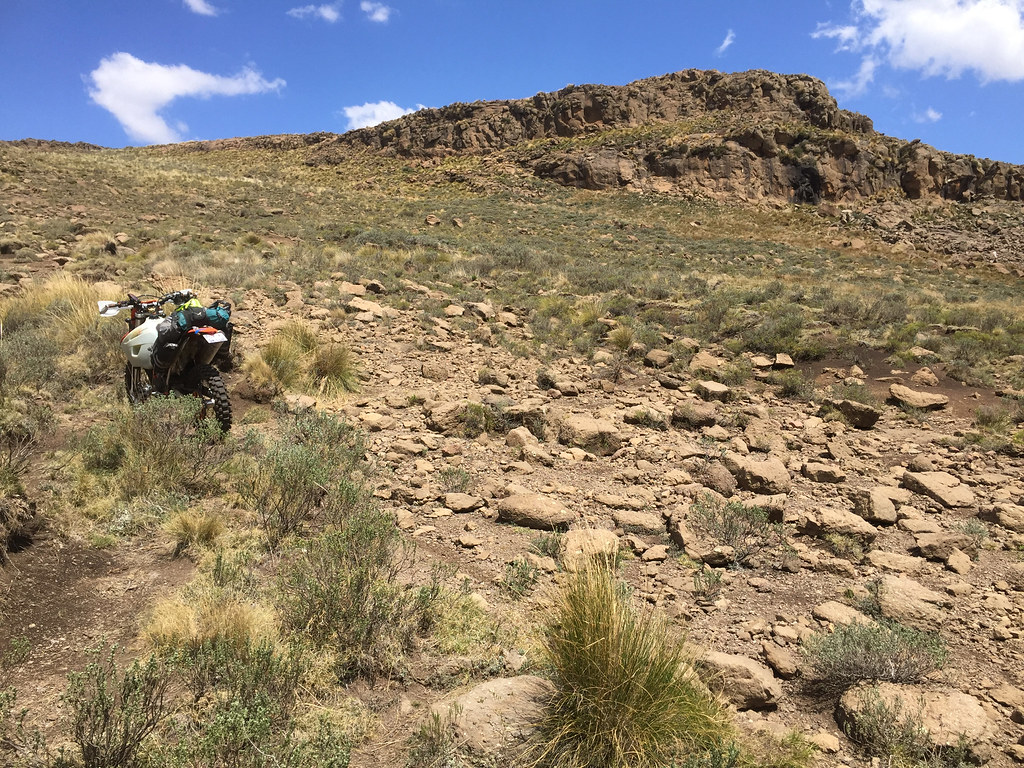

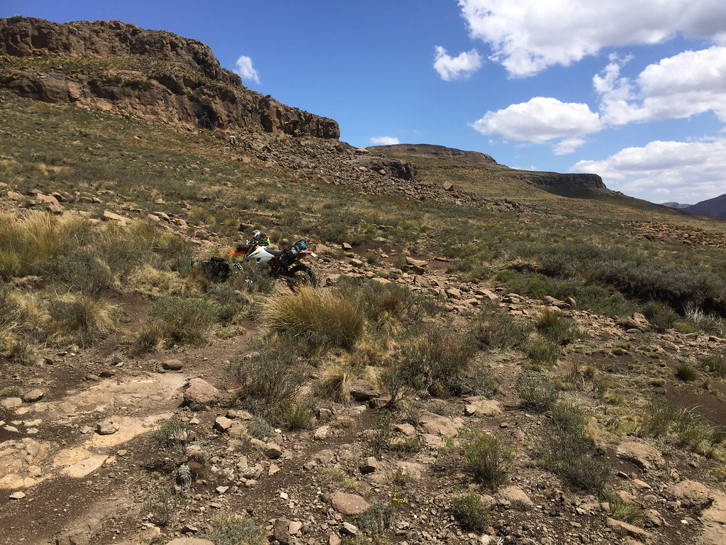
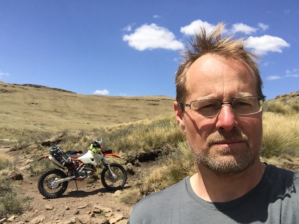

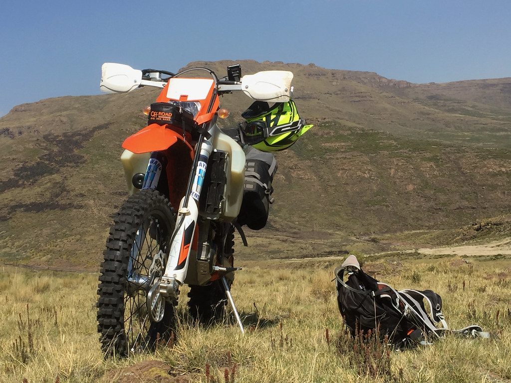
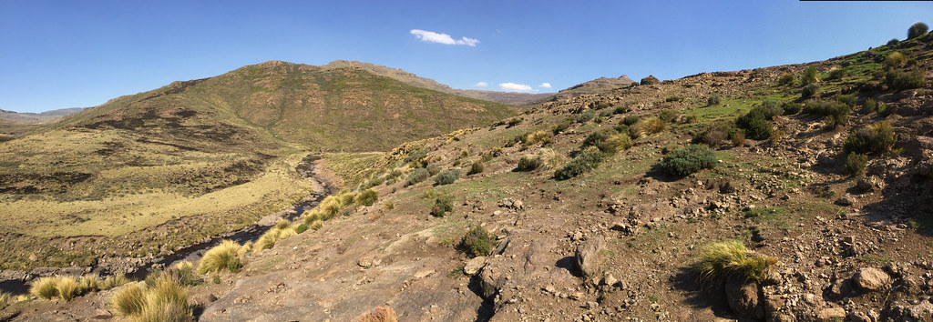
I’ve made it back to the LDF base sitting next to tar at about noon and just to keep things interesting ended up the stupidest possible path passing through the base (I’m using the word base here very loosely - they didn’t even have any perimeter guards) and got wire stuck in my rear wheel right next to half collapsed outhouse. I then spent 20 minutes or so cutting the bloody wire out of the wheel in the stench of Lesotho finest. In the process I almost took one of my eyes out when one piece of wire I was pulling out of the wheel sprang up and pierced my forehead (luckily I had glasses on).
Well, every comedy must come to an end and once I managed to liberate rear wheel, I made it to tar 200 meters away and cuised up the road to Afri Ski.
Following the lesson not to ride more than 2 days in a row, next day I’ve spent idling away in Afri Ski and getting ready for the next leg - an attempt to ride out along the escarpment to the source of Orange river.
I woke up to miserable cold morning with clouds passing very low. I’ve seen this before in the mountains just before snow started falling and hoped it will clear once sun gets higher and warms things up. There was a brief promising break in the clouds but it didn’t last and the snowstorm clouds returned with vengeance.


Nothing I could do about it so I made myself a breakfast and broke the camp, and got ready to go, until fog moved in and the visibility dropped to about 10 meters. The whole place felt like scene from the Hound of Baskerville and I was wondering what the poor doggy up on the hill is up to. It was unpleasantly cold and for a moment I considered just getting back into the bivvy sack and sleeping this out.


Eventually the fog cleared, but the low clouds kept me on my toes for the rest of the day. I set-off and pushed on up the valley following the river. The valley opened up and I was able to make good distance over the flatter terrain alternating between the sides of the river where the terrain looked better. The only annoying bits were the river crossings which had to be done with utmost care as the rocks were super slippery.


I was making good progress making up the river valley, which after few km of going north turned east and climbed up towards the escarpment that defeated me few days back on the other side. Escarpment at the top of the valley:


All was looking good until the valley narrowed down, which funneled the cattle that used the path to one please with resulting erosion of the path. I pushed on, but after few 100 meters came to a ditch where the path was blocked (not for more skilled riders, but for me) by big boulders.

So close and so far at the same time:

The showstopper:


I didn’t feel like trying to manhandle the bike over those - even if I would succeed, I would most probably end up severely depleted of energy on the other side. So I took a walk around trying to see if I can find some lucky break further up the hill. It looked promising in couple of places, but all turned out to be dead ends.
I could see that the other side of the valley was a bit steep, but figured doable with a bit of zig zagging (I was getting better on this off camber thingy out of necessity). So I backtracked a bit, crossed the river and gunned it up. It was going OKish, but was quite precarious business.


At that point I felt few raindrops and that was it - if I may have had some chance to get further up in the dry I didn’t fancy being caught up higher up in the rain (let alone lightning storm). If I would need to back-track on the wet offcamber, which could be nasty. So for the second time, I turned back away from this bloody escarpment. It was a bit annoying, because I felt I have reasonable chance if the weather didn’t turn against me, and this time I felt also much more confident than first time, because I knew what lay behind. I knew that if I make it over, it is relatively easy 3 hour ride back to Afri Ski - while on my first attempt from the other side I didn’t have a clue what lies behind which does dampen one’s motivation a bit.
I back tracked the way I came and was in good form moving steadily downriver towards the tar. Not worth describing again, I’ll let the pictures do talking:


I’ve made it back to the LDF base sitting next to tar at about noon and just to keep things interesting ended up the stupidest possible path passing through the base (I’m using the word base here very loosely - they didn’t even have any perimeter guards) and got wire stuck in my rear wheel right next to half collapsed outhouse. I then spent 20 minutes or so cutting the bloody wire out of the wheel in the stench of Lesotho finest. In the process I almost took one of my eyes out when one piece of wire I was pulling out of the wheel sprang up and pierced my forehead (luckily I had glasses on).
Well, every comedy must come to an end and once I managed to liberate rear wheel, I made it to tar 200 meters away and cuised up the road to Afri Ski.
Following the lesson not to ride more than 2 days in a row, next day I’ve spent idling away in Afri Ski and getting ready for the next leg - an attempt to ride out along the escarpment to the source of Orange river.
ianhogg
Race Dog
- Joined
- Apr 24, 2010
- Messages
- 1,510
- Reaction score
- 31
- Location
- 34 Stanbury Street, Proserpine, QLD
- Bike
- Kawasaki Versys
Amazing the predilection barbed wire has for rear wheels and always winds up on the chain side! I've always carried a big pair of wire cutters for this very reason. On a South Coast WFO I found wire entering a field and it only reached the end attached to the fence post quite a long way into the field once I'd picked up speed. I flew a very long way.
BiG DoM
Desert Dog
- Joined
- May 22, 2007
- Messages
- 21,034
- Reaction score
- 1,073
- Location
- Grahamstown EC
- Bike
- Ducati Desert X
IanTheTooth said:Amazing the predilection barbed wire has for rear wheels and always winds up on the chain side! I've always carried a big pair of wire cutters for this very reason. On a South Coast WFO I found wire entering a field and it only reached the end attached to the fence post quite a long way into the field once I'd picked up speed. I flew a very long way.
Terrible shit. :xxbah: Actual wire cutters are a good idea - I usually resort to the Leatherman.
peteb
Race Dog
- Joined
- Jan 2, 2017
- Messages
- 694
- Reaction score
- 425
- Bike
- Zundapp (all models)
And mine was just the opposite, my bike flew a long way whilst I stayed attached to the barbed wire....and ended up in Ian's chair more often than I bargained for!IanTheTooth said:Amazing the predilection barbed wire has for rear wheels and always winds up on the chain side! I've always carried a big pair of wire cutters for this very reason. On a South Coast WFO I found wire entering a field and it only reached the end attached to the fence post quite a long way into the field once I'd picked up speed. I flew a very long way.
Thanks all for following :thumleft:
I'm leaving for a trip to Botswana, so will have to pause here and pick it up once I'm back in about 2 weeks. There is still plenty of nice riding left to be reported.
I'm leaving for a trip to Botswana, so will have to pause here and pick it up once I'm back in about 2 weeks. There is still plenty of nice riding left to be reported.
On the 500 or 690 ?Xpat said:Thanks all for following :thumleft:
I'm leaving for a trip to Botswana, so will have to pause here and pick it up once I'm back in about 2 weeks. There is still plenty of nice riding left to be reported.
sidetrack said:On the 500 or 690 ?Xpat said:Thanks all for following :thumleft:
I'm leaving for a trip to Botswana, so will have to pause here and pick it up once I'm back in about 2 weeks. There is still plenty of nice riding left to be reported.
Both + Hilux. I'm meeting mates from Prague in Maun.
Day 11
Night before next section, I bumped into Martin again and he was keen to join me on the ride to the source of Orange river up on Drakensberg escarpment. Obviously I was glad to have a partner, especially one who knew the route and unlike me was very competent rider comfortable in Lesotho mountains. On the other hand I was a bit anxious about the pressure as I will not be able to chicken out at will as I do when I ride on my own - the key secret of my survival on my trips on which I way too often tend to find myself way out of my depth.
I haven’t slept much that night partially due to old age insomnia and partially due to the loud party that was going on in the nearby restaurant. In the morning I felt a bit tender and considered chickening out preemptively straight away. Eventually I decided to stop being a baby and give it a try. The plan was to ride to Mont-Aux-Sources on the SA border, follow escarpment south - east towards source of Orange river and then cut down to Chalets in the Sky lodge sitting at the bottom of the valley about 10 km east of Letseng mine.
We set off after early breakfast at about 7:00, starting with the track to the Mont-Aux-Sources, which by now I have already done twice. I focused hard on sticking to my own tempo and avoiding chasing Martin to not fuck myself up straight away. The beginning was a bit tentative but eventually I relaxed and got into the swing of things.
Soon we made it to Mont-Aux-Sources on SA border (as well as delineating border of KZN and Free State) overlooking top of Tugela Falls in Royal Natal NP escarpment.
Judging by its French name I expected Mont-Aux-Sources to be majestic graceful mountain - it turned out to be a little rocky outcrop seen at the top of the escarpment behind us:
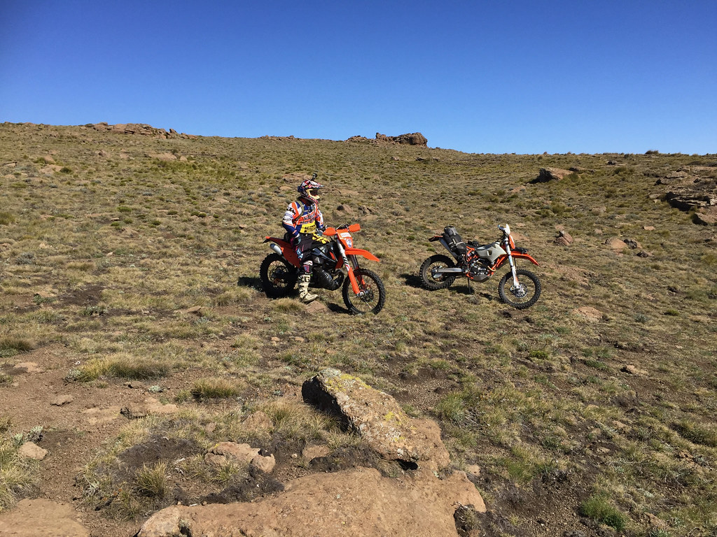
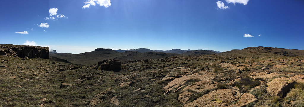
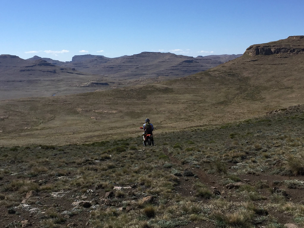
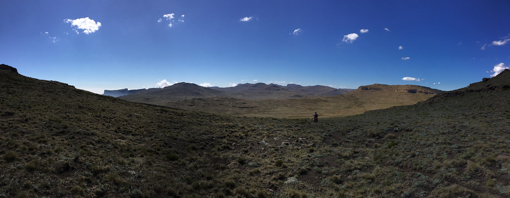

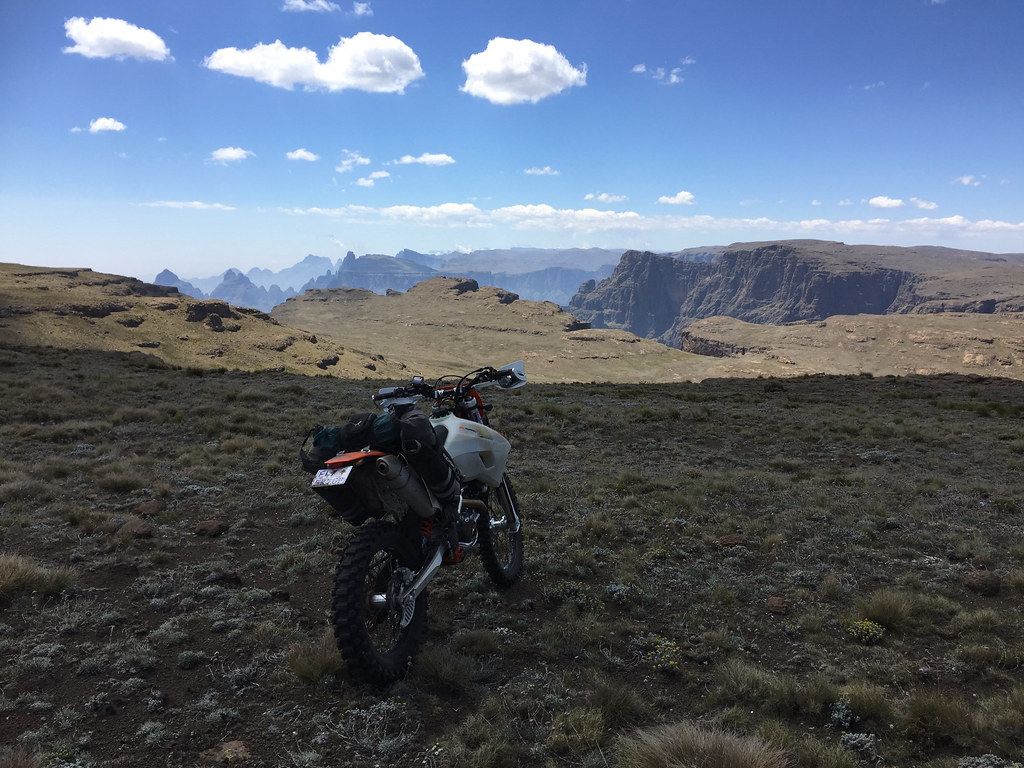
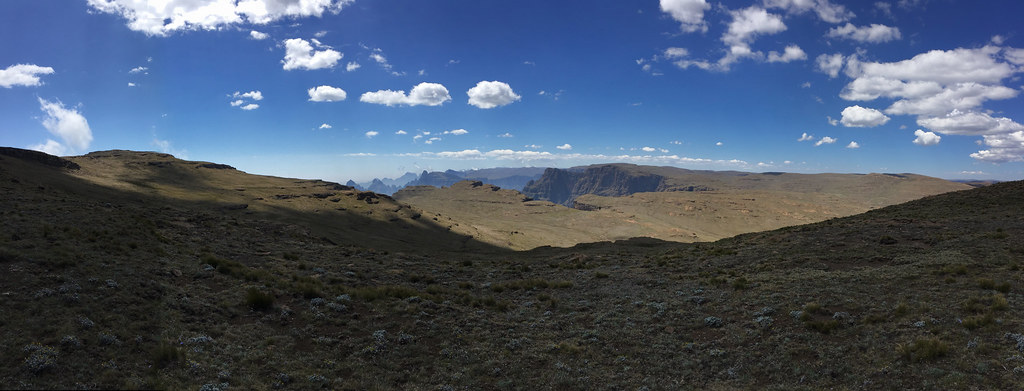
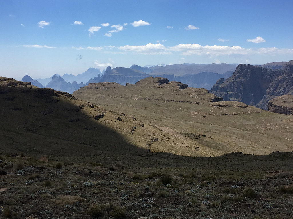
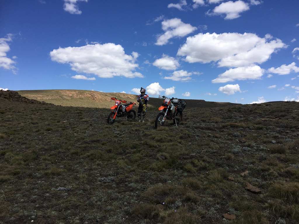
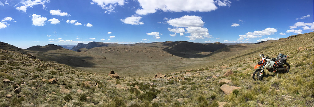
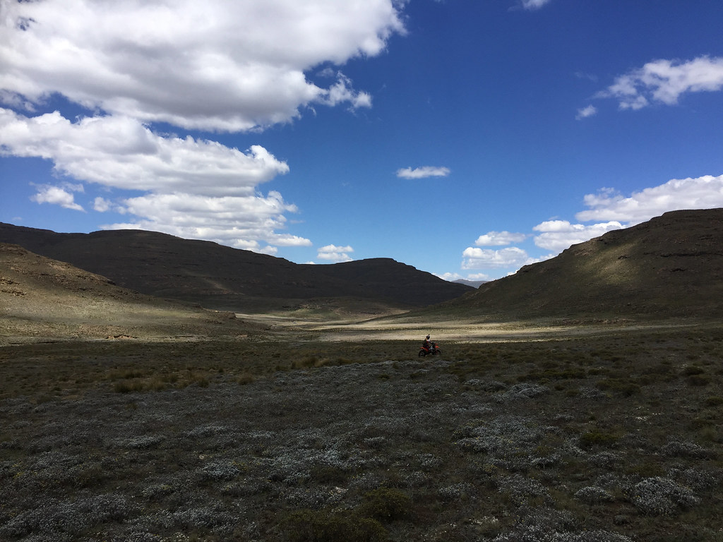
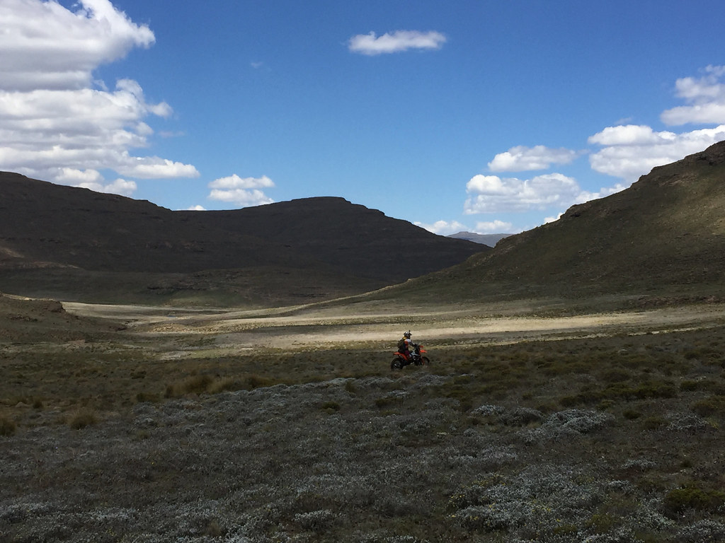
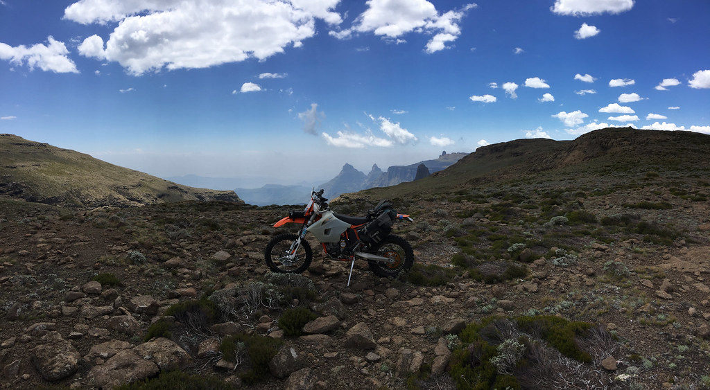
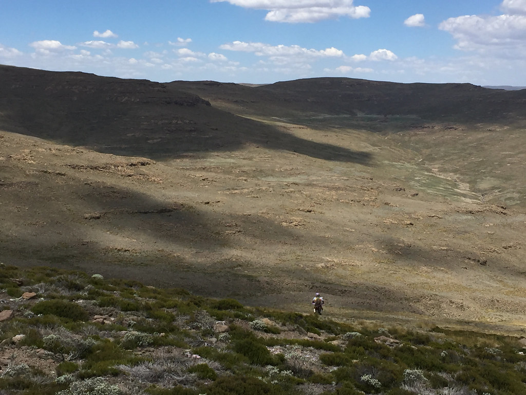
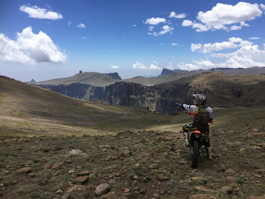
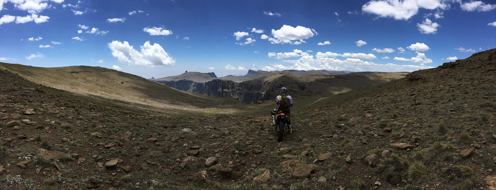
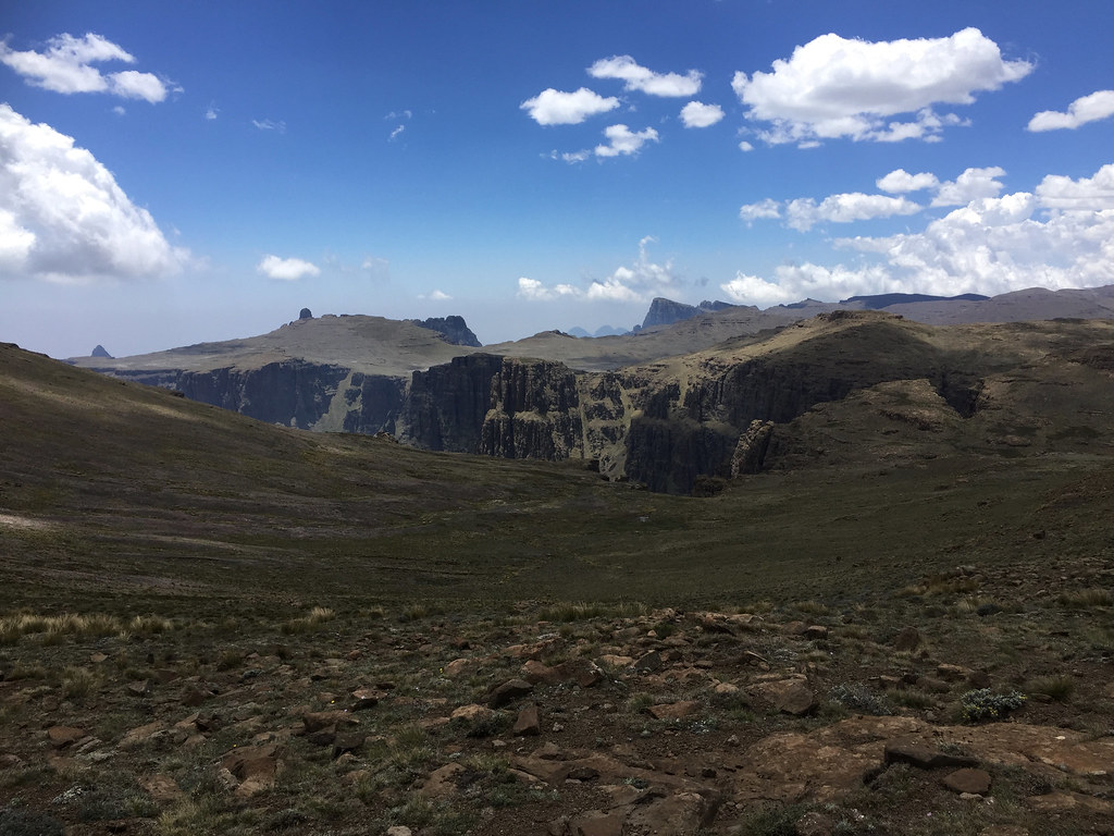
Here we turned right and followed impressive top of the Drakensberg escarpment south east towards the source of Orange few dozen km away. Martin was riding upfront scouting easiest routes for me to follow and the progress was really good. The riding was relatively easy - speaking in cross country Lesotho terms here - mostly big rolling hills and valleys on the high plateaux on top of Drakensberg - rocky for sure, but wide open allowing one to choose easier line if he run into problematic section. I even started to believe that I may actually have a chance to finish this one - unlike the fiasco on the prior attempts towards Monantsa.
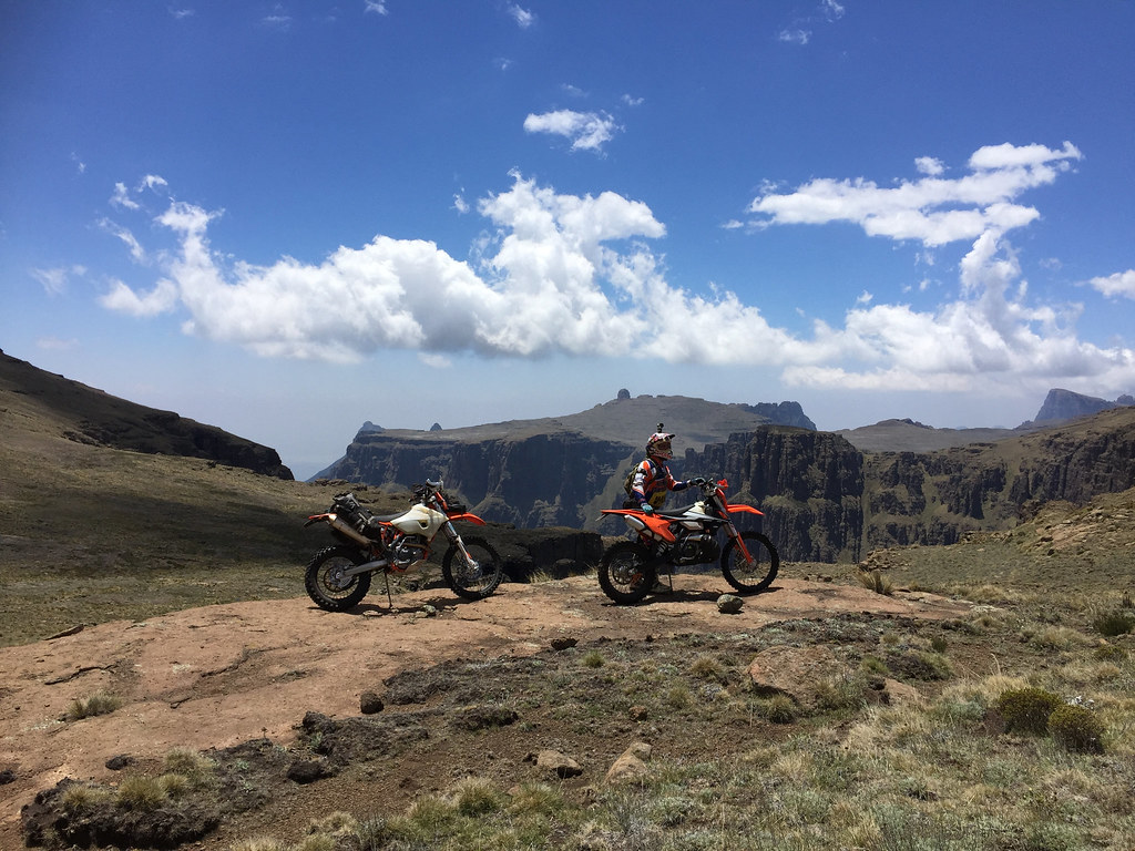
The scenery was fantastic - I’ll let the pictures tell the story:
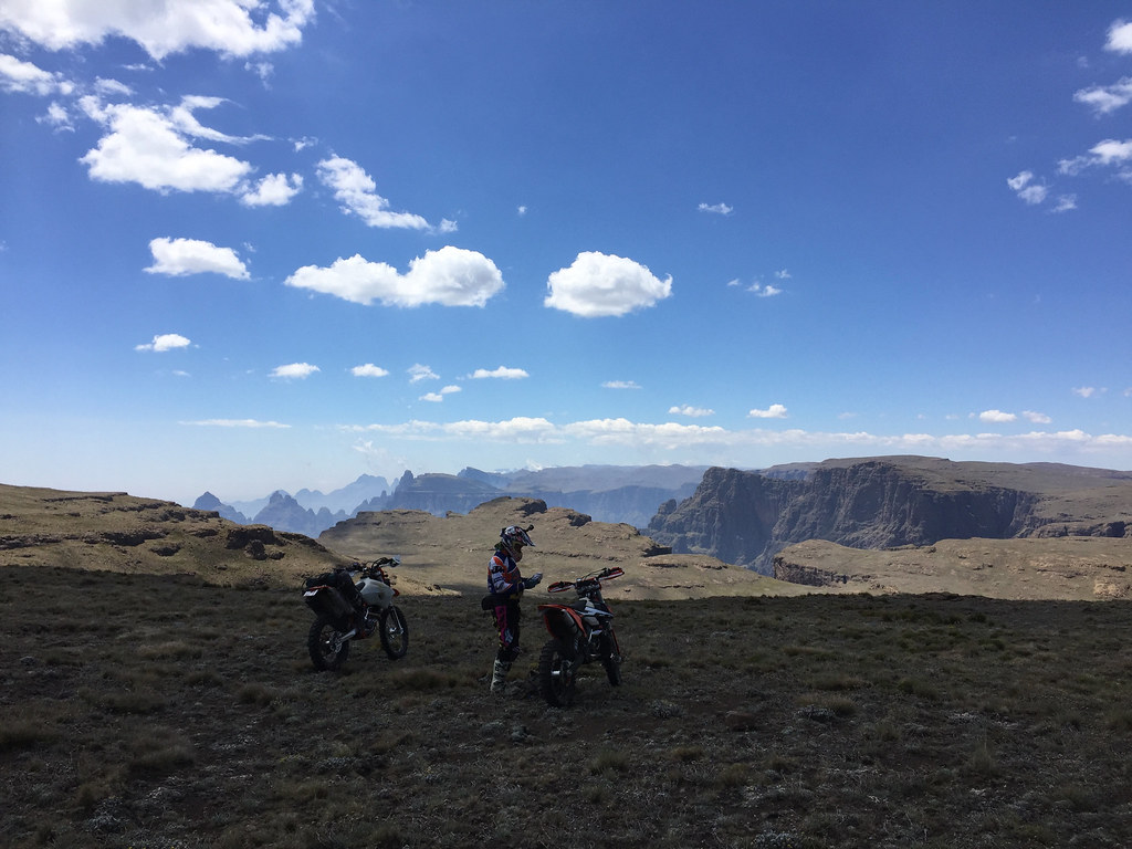

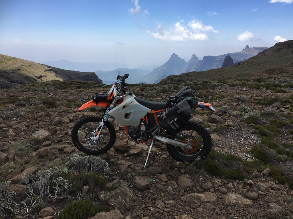
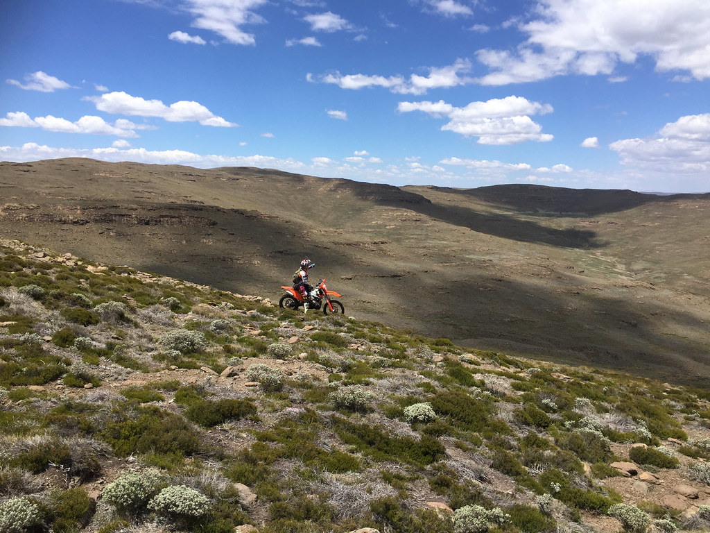
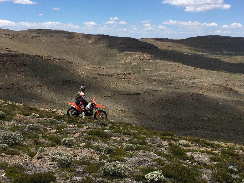
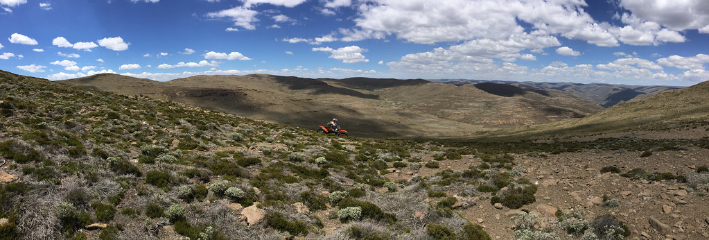
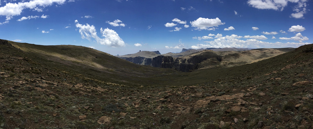
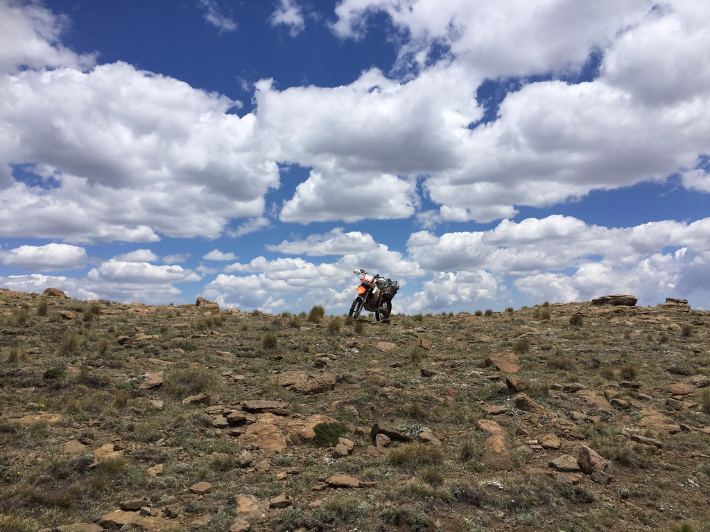
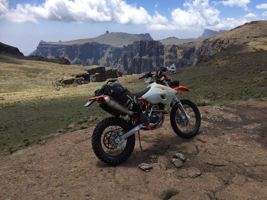
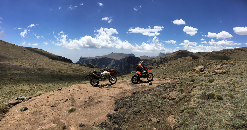
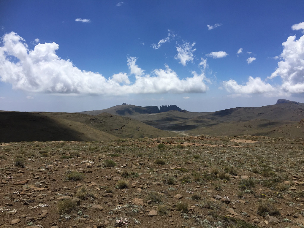
Against my expectations, after crossing few valeys and passes, quite soon we made it to the ridge on top of the valley where Orange originates. It would have been easy to descent down to the source, but I could see that Martin was keen to push on and make it to the Chalets in the Sky as soon as possible to avoid getting caught by the storm up high there - the clouds weren’t threatening yet, but they were getting some momentum. I have contemplated splitting off and heading to the source for sleepover, but it was early - still before noon and I decided not to push my luck and stuck with Martin.
Source of Orange river is down in that valley - the white bit:
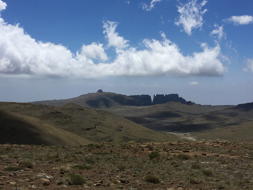
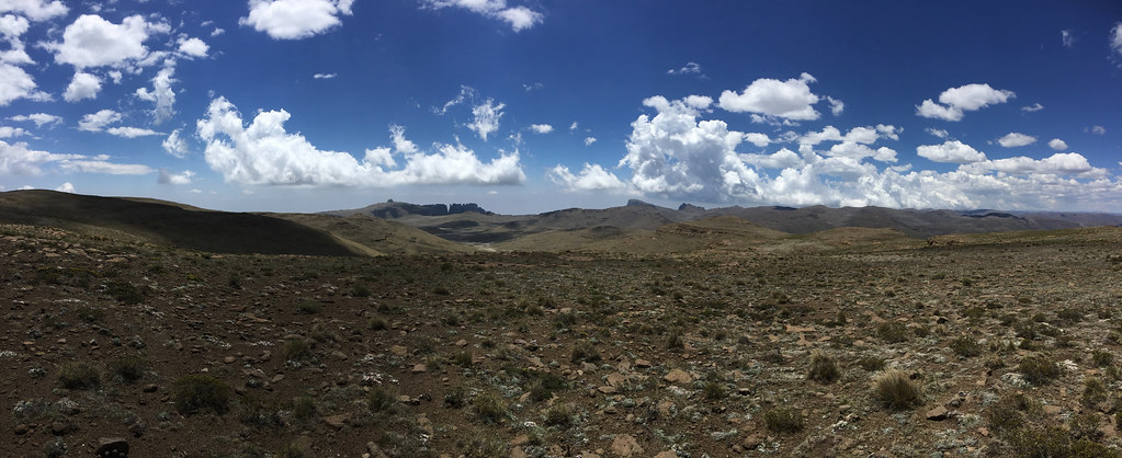
Which was a good thing - Martin did know why he was pushing. While the ride so far was quite manageable, we still had to descent along a steep valley down to the Chalets in the Sky - which Martin knew about and I didn’t. We have made it to the top of the descent at about noon and after shortstop turned right down the valley leaving the cattle tracks my plotted route followed behind. First 2 km or so were nice easy descent in third gear down wide valley, but once it narrowed down the situation changed quickly.
So far I was riding on the wave of elation from the great progress we were making and now pretty much sure that I’m going to finish this one - I was feeling great and strong, like I haven’t been riding for 5 hours Lesotho mountains. But pretty much within 10 - 15 minutes of hitting the steep and tricky (for me) off-camber, my energy was gone and I turned into hopeless zombie. We had only 2 - 3 km to go, but I seriously doubted I will be able to make it. I knew I can walk the bike, but that was very tiring and I had no energy left. I contemplated just camping right there and pushing it down next morning, but Martin didn’t consider it good idea as - should I get caught up by rain there - I would be more or less fucked.
Instead he cheered me up, rode up and down the slope (like it was flat) looking for easier alternatives for me and eventually we swapped the bikes - he took my 500 with luggage and rode it down more or less like his 300. On the other hand I half walked and half ridden his 300, which felt like a bicycle compared to 500 - I was surprised how small it was, as I had 2009 300 before the 500 and remembered it to be considerably bigger. That said I have to say (and Martin also commented on it) that much more precise throttle on 500 did eliminate some of the advantage that 300 had - and I’m sure taking the luggage off would help even more.
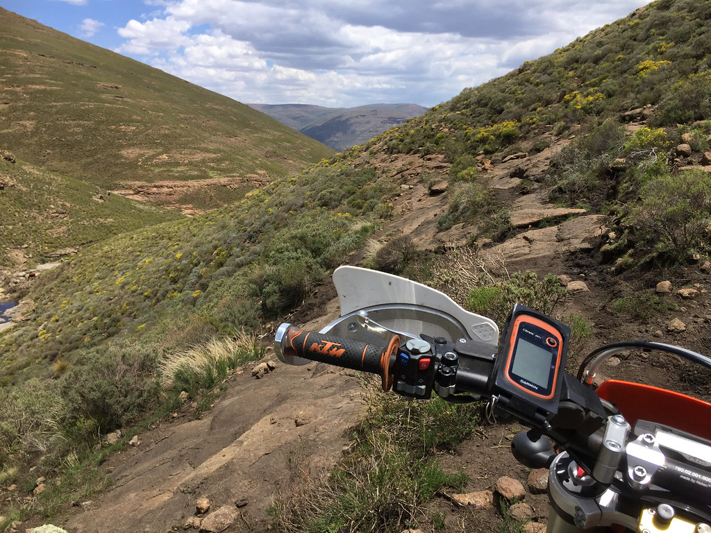
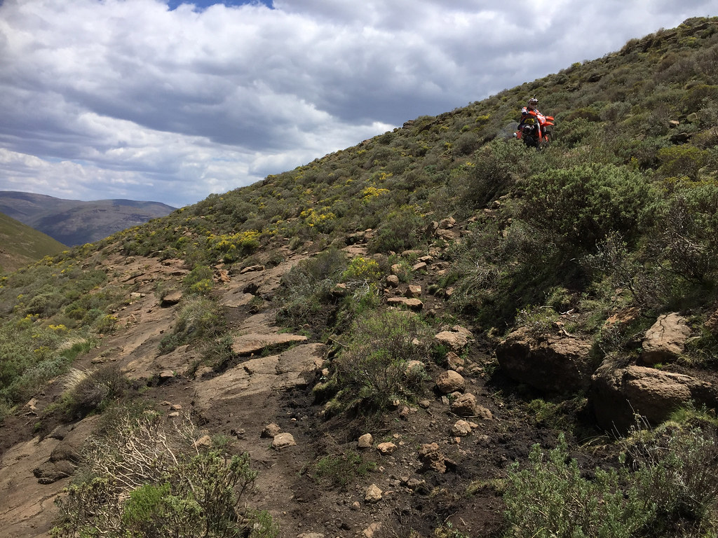
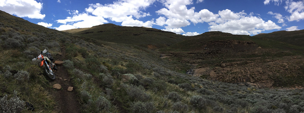
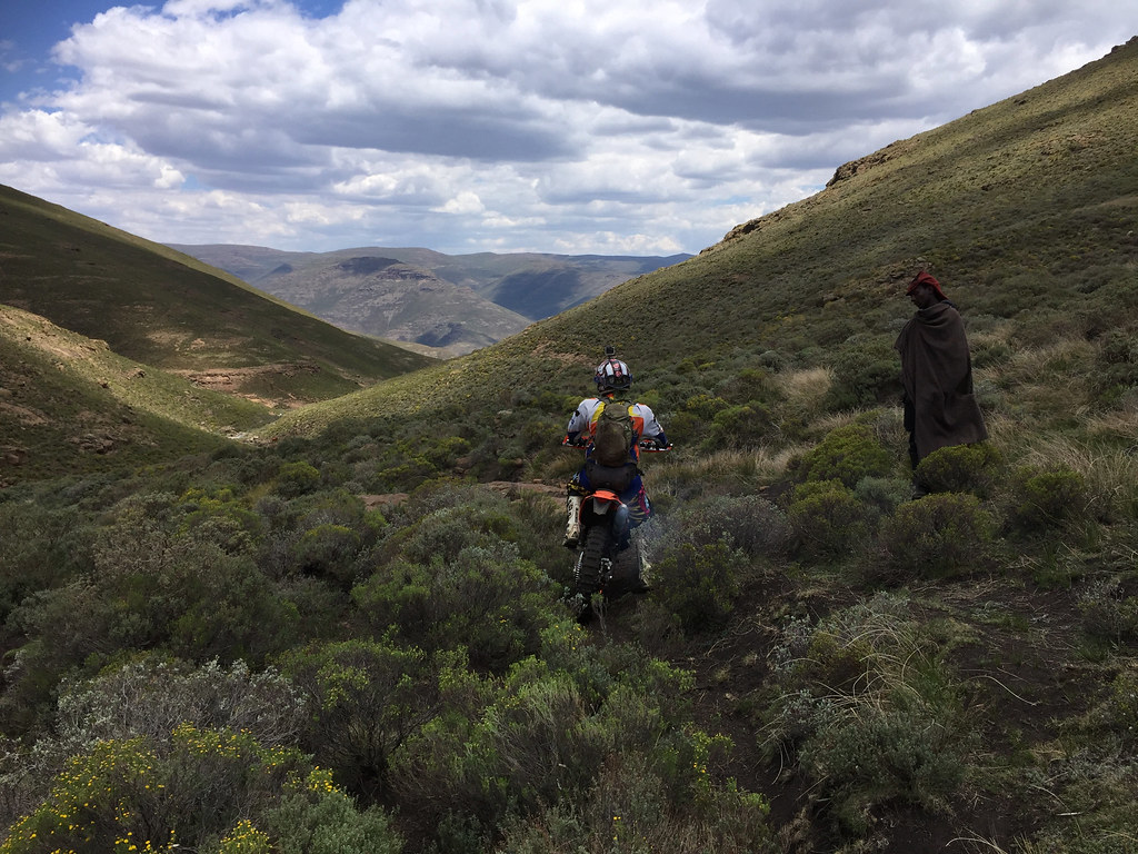
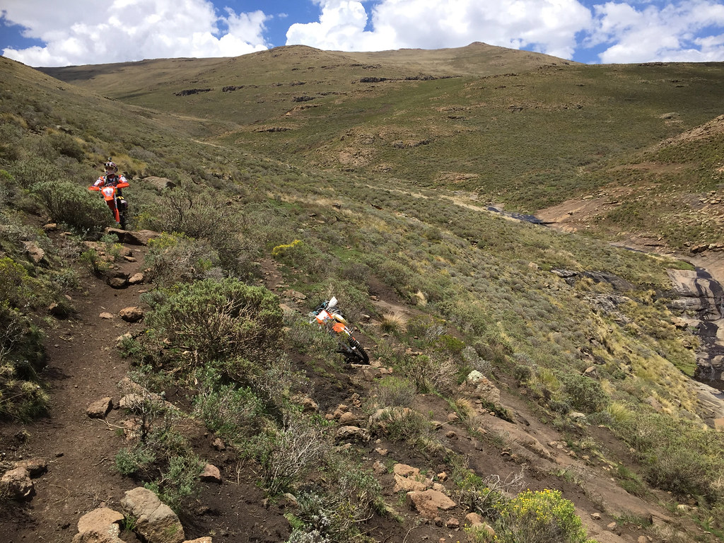
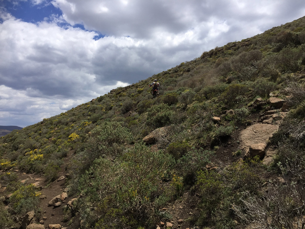
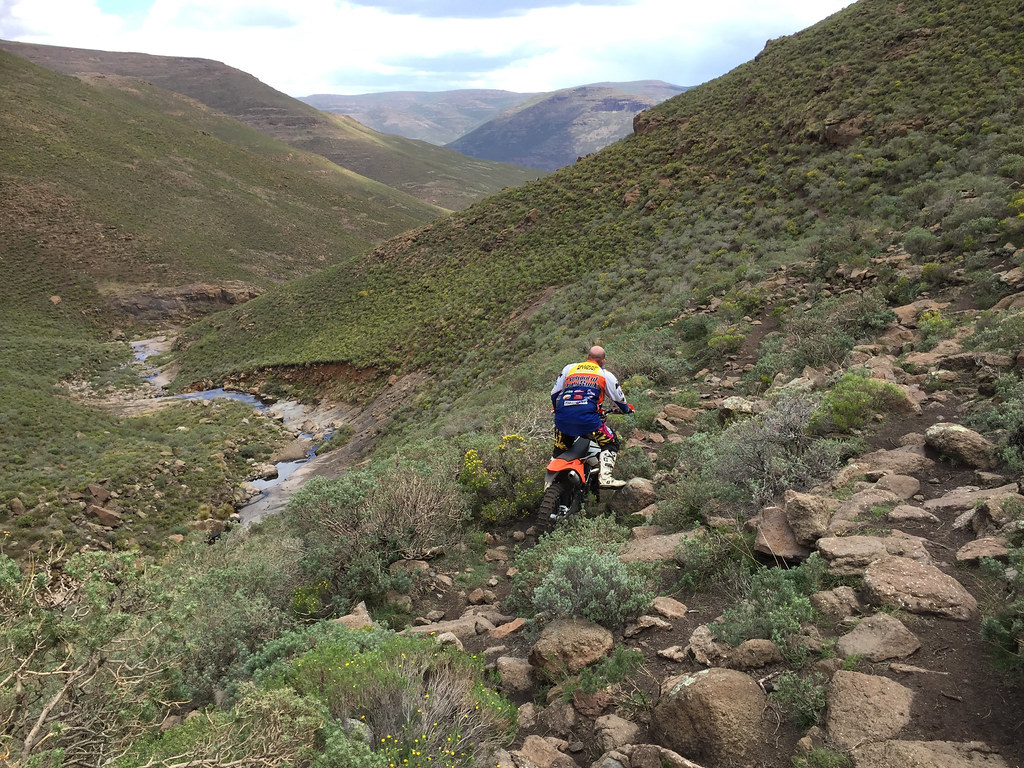
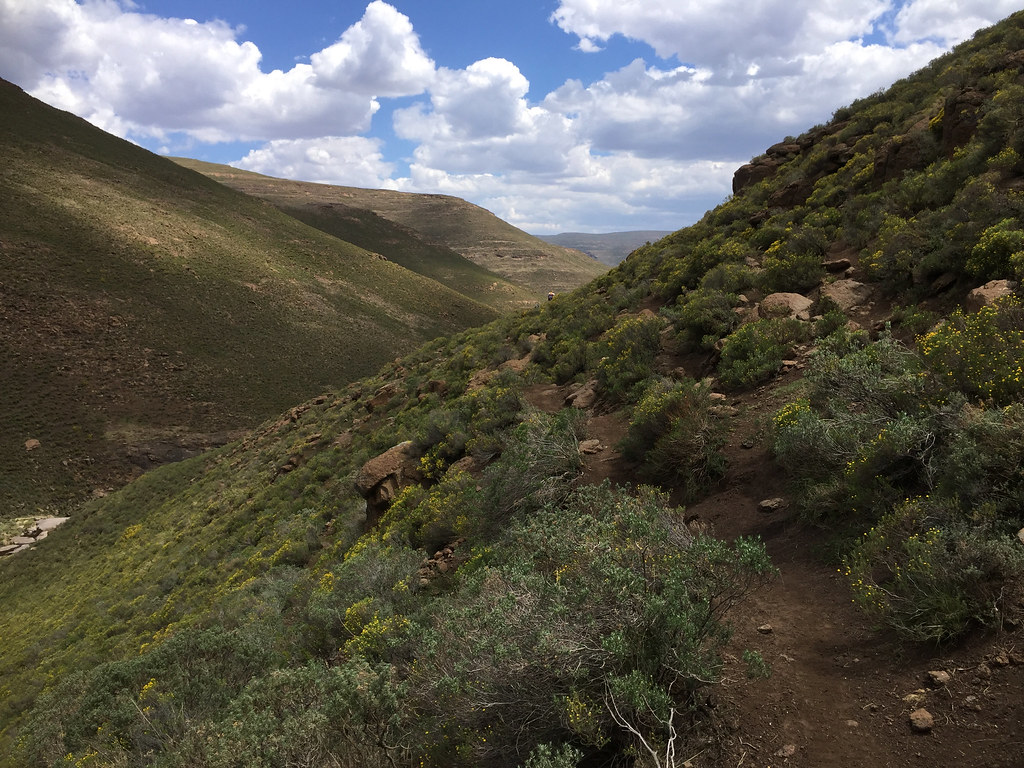
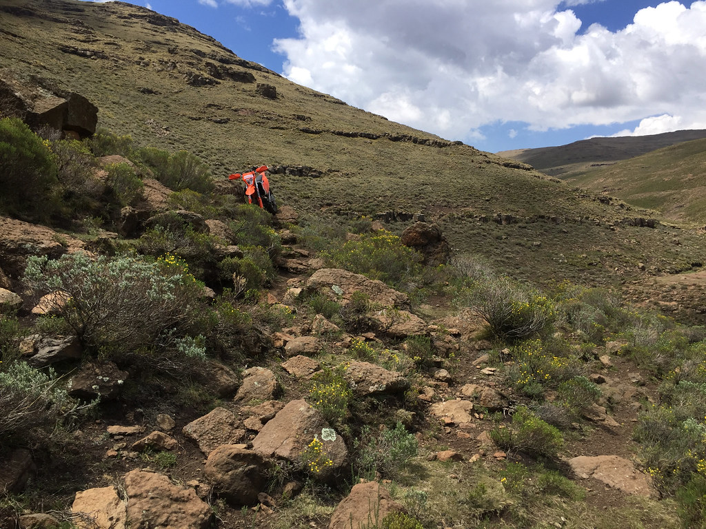
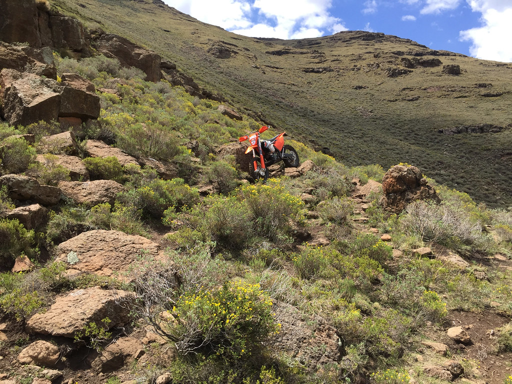
Eventually we made it through the 2-3 km off-camber section to the outskirts of the village on the Khubelu river and then rode the big dirt roads another 3 km to the Chalets in the Sky, which we made at about 2:00 pm. I was really chuffed to make it through and thanked Martin profusely for dragging me through.
The only thing was - apart for that 2 - 3 km off camber section the whole 70 km or so loop was very manageable. My original route didn’t descent to Khubelu river valley, but followed cattle tracks along the ridge down to the Orange river valley to the east. I was curious whether that route wouldn’t be easier as if it would the whole track would be feasible for average bimbo like me on dual sport bike (i.e. plated enduro). So I decided to come back next day and investigate that to get some closure on the whole Orange river loop.
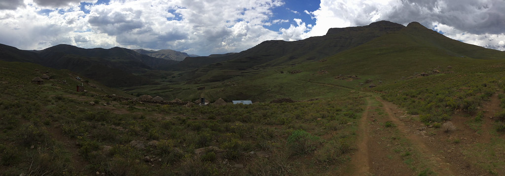

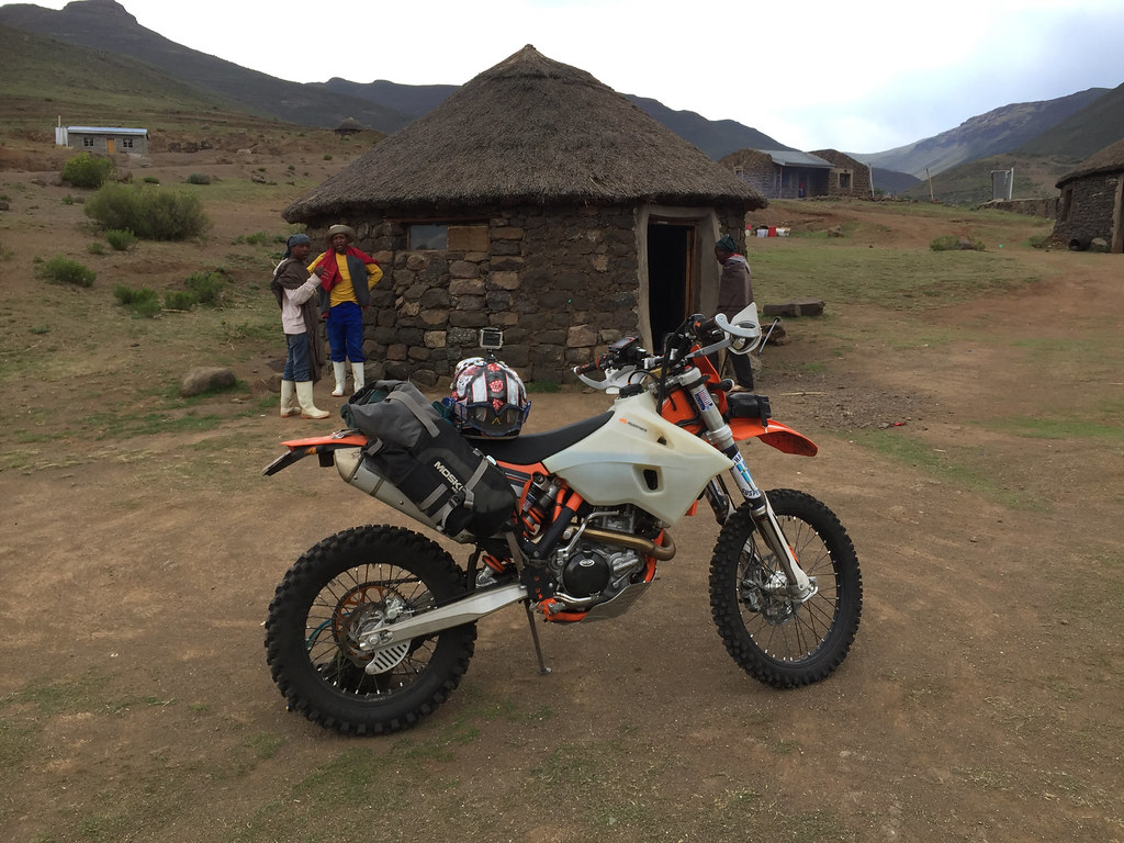
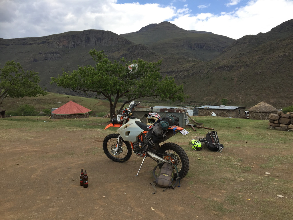
Martin has organized a guy from Afri Ski to come and fetch him with bakkie, as he didn’t have enough petrol to make it back. I was going also back for one last night and to fetch my car. As he seemed to like 500 a lot I gave him 500 to ride back to Afri Ski and I got a ride with 300 in the bakkie.
On the way back to Afri Ski once we climbe out of Khubela valley seen in the picture:
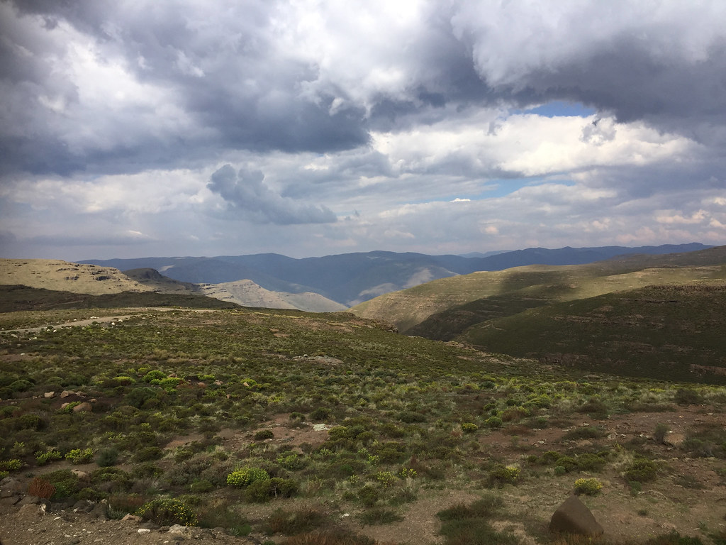
I have to say, I was really glad I didn’t chicken out in the morning. The credit of course goes to Martin who found the best possible routes and basically carried me and my bike over that off-camber descent.
Night before next section, I bumped into Martin again and he was keen to join me on the ride to the source of Orange river up on Drakensberg escarpment. Obviously I was glad to have a partner, especially one who knew the route and unlike me was very competent rider comfortable in Lesotho mountains. On the other hand I was a bit anxious about the pressure as I will not be able to chicken out at will as I do when I ride on my own - the key secret of my survival on my trips on which I way too often tend to find myself way out of my depth.
I haven’t slept much that night partially due to old age insomnia and partially due to the loud party that was going on in the nearby restaurant. In the morning I felt a bit tender and considered chickening out preemptively straight away. Eventually I decided to stop being a baby and give it a try. The plan was to ride to Mont-Aux-Sources on the SA border, follow escarpment south - east towards source of Orange river and then cut down to Chalets in the Sky lodge sitting at the bottom of the valley about 10 km east of Letseng mine.

We set off after early breakfast at about 7:00, starting with the track to the Mont-Aux-Sources, which by now I have already done twice. I focused hard on sticking to my own tempo and avoiding chasing Martin to not fuck myself up straight away. The beginning was a bit tentative but eventually I relaxed and got into the swing of things.
Soon we made it to Mont-Aux-Sources on SA border (as well as delineating border of KZN and Free State) overlooking top of Tugela Falls in Royal Natal NP escarpment.
Judging by its French name I expected Mont-Aux-Sources to be majestic graceful mountain - it turned out to be a little rocky outcrop seen at the top of the escarpment behind us:


Here we turned right and followed impressive top of the Drakensberg escarpment south east towards the source of Orange few dozen km away. Martin was riding upfront scouting easiest routes for me to follow and the progress was really good. The riding was relatively easy - speaking in cross country Lesotho terms here - mostly big rolling hills and valleys on the high plateaux on top of Drakensberg - rocky for sure, but wide open allowing one to choose easier line if he run into problematic section. I even started to believe that I may actually have a chance to finish this one - unlike the fiasco on the prior attempts towards Monantsa.
The scenery was fantastic - I’ll let the pictures tell the story:


Against my expectations, after crossing few valeys and passes, quite soon we made it to the ridge on top of the valley where Orange originates. It would have been easy to descent down to the source, but I could see that Martin was keen to push on and make it to the Chalets in the Sky as soon as possible to avoid getting caught by the storm up high there - the clouds weren’t threatening yet, but they were getting some momentum. I have contemplated splitting off and heading to the source for sleepover, but it was early - still before noon and I decided not to push my luck and stuck with Martin.
Source of Orange river is down in that valley - the white bit:


Which was a good thing - Martin did know why he was pushing. While the ride so far was quite manageable, we still had to descent along a steep valley down to the Chalets in the Sky - which Martin knew about and I didn’t. We have made it to the top of the descent at about noon and after shortstop turned right down the valley leaving the cattle tracks my plotted route followed behind. First 2 km or so were nice easy descent in third gear down wide valley, but once it narrowed down the situation changed quickly.
So far I was riding on the wave of elation from the great progress we were making and now pretty much sure that I’m going to finish this one - I was feeling great and strong, like I haven’t been riding for 5 hours Lesotho mountains. But pretty much within 10 - 15 minutes of hitting the steep and tricky (for me) off-camber, my energy was gone and I turned into hopeless zombie. We had only 2 - 3 km to go, but I seriously doubted I will be able to make it. I knew I can walk the bike, but that was very tiring and I had no energy left. I contemplated just camping right there and pushing it down next morning, but Martin didn’t consider it good idea as - should I get caught up by rain there - I would be more or less fucked.
Instead he cheered me up, rode up and down the slope (like it was flat) looking for easier alternatives for me and eventually we swapped the bikes - he took my 500 with luggage and rode it down more or less like his 300. On the other hand I half walked and half ridden his 300, which felt like a bicycle compared to 500 - I was surprised how small it was, as I had 2009 300 before the 500 and remembered it to be considerably bigger. That said I have to say (and Martin also commented on it) that much more precise throttle on 500 did eliminate some of the advantage that 300 had - and I’m sure taking the luggage off would help even more.


Eventually we made it through the 2-3 km off-camber section to the outskirts of the village on the Khubelu river and then rode the big dirt roads another 3 km to the Chalets in the Sky, which we made at about 2:00 pm. I was really chuffed to make it through and thanked Martin profusely for dragging me through.
The only thing was - apart for that 2 - 3 km off camber section the whole 70 km or so loop was very manageable. My original route didn’t descent to Khubelu river valley, but followed cattle tracks along the ridge down to the Orange river valley to the east. I was curious whether that route wouldn’t be easier as if it would the whole track would be feasible for average bimbo like me on dual sport bike (i.e. plated enduro). So I decided to come back next day and investigate that to get some closure on the whole Orange river loop.


Martin has organized a guy from Afri Ski to come and fetch him with bakkie, as he didn’t have enough petrol to make it back. I was going also back for one last night and to fetch my car. As he seemed to like 500 a lot I gave him 500 to ride back to Afri Ski and I got a ride with 300 in the bakkie.
On the way back to Afri Ski once we climbe out of Khubela valley seen in the picture:

I have to say, I was really glad I didn’t chicken out in the morning. The credit of course goes to Martin who found the best possible routes and basically carried me and my bike over that off-camber descent.
aka.Goliath
Race Dog
How was the 500's performance effected by the altitude? Having just come back from the southern Drakensburg I found that at the high altitudes 2500m + my 690 and partially the 990 became quite underpowered and always felt you needed to drop a gear.
NoRush
Pack Dog
:sip: amazing trip Xpat.
ianhogg
Race Dog
- Joined
- Apr 24, 2010
- Messages
- 1,510
- Reaction score
- 31
- Location
- 34 Stanbury Street, Proserpine, QLD
- Bike
- Kawasaki Versys
Fantastic pictures of Royal Natal escarpment! Can't wait to have a look myself. Weird how the escarpment just comes up on you, isn't it?
aka.Goliath: What do you expect? There's not much air up there. I remember on the top of Letele's pass on my IT175 that I made better progress running along side the bike than riding on it! The guys who do this a lot have jetted to cover most of the extremities that they will bump into. I have jetted my 250cc bikes to be a bit lean on pilot and main at sea level and strangely enough to have a really big squirt from the accelerator pump. The 650 and 900 manage fine as they are.
aka.Goliath: What do you expect? There's not much air up there. I remember on the top of Letele's pass on my IT175 that I made better progress running along side the bike than riding on it! The guys who do this a lot have jetted to cover most of the extremities that they will bump into. I have jetted my 250cc bikes to be a bit lean on pilot and main at sea level and strangely enough to have a really big squirt from the accelerator pump. The 650 and 900 manage fine as they are.
Thanks for following :thumleft:
[member=12424]aka.Goliath[/member]: I didn't notice any power degradation, but then I didn't have proper reference point. I have changed the gearing for this trip to 14/52, while in flatlands I use 14/50 - so that would probably more than offset any power loss due to altitude. The fact was that 500 pulled uphills like space shuttle on crack - it was actually uncanny and quite addictive once I found the courage to just point it up and hold on.
I wouldn't expect that on EFI bike (and big one like 690/990 - even 500) you should see too much of a difference considering relatively small altitude difference between Gauteng and even the highest passes in Lesotho - but then your experience seems to be different.
That said, as Ian eluded on carbed or smaller capacity bike the difference would be much more noticeable. The highest I have been on bike was 5300 meters up in Ladakh in India on carbed Africa Twin XRV750 and the bike was positively dead at that altitude. It worked but it was anemic and gutless. Still I would expect modern EFI bike to work better even there, but I'm sure one would definitely notice the difference.
aka.Goliath
Race Dog
I was fairly surprised about the amount of the peppiness had disappeared at the tops of the passes at around 2700m. I'm not sure if the technicalities of how it works. The 500 has so much punch I'd imagine it would be less noticeable. Now for the next day [emoji6]
Day 12 & 13
After about a week of being based off Afri Ski it was time to move the caravan on. The plan was to move the base to the top of Sani Pass to explore tracks along escarpment further south. But before that, I wanted to tie up a loose end I left on that source of Orange river loop the day before - i.e. to figure out if there is an alternative way down the escarpment to one of the nearby valley connecting to Mokhotlong, other than that tricky off-camber section I struggled on day before. Basically I wanted to see if I can find a way to cross from Chalets in the Sky sitting in the Khubelu river valley to the Orange river valley to the east and then climb up to the escarpment from there - which is how the track I have plotted on the satellite images at home.
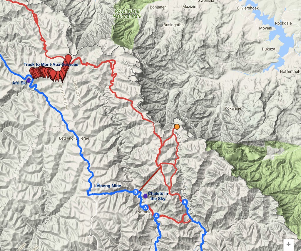
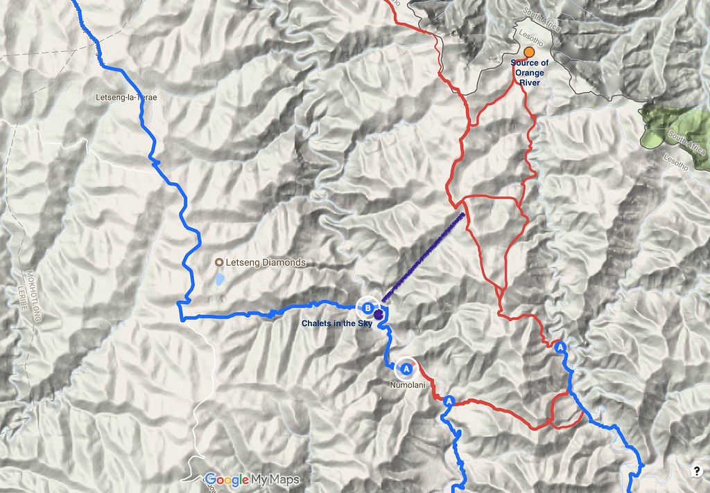
Here is the detail map of the area around Chalets in the Sky. Orange dot is the source of Orange river and the purple line is the shortcut we took with Martin day before with the tricky off-camber section. I wanted to ride from B to A to second A, cross on the red line to the Orange river to the third A and then take the red line up to source of Orange:
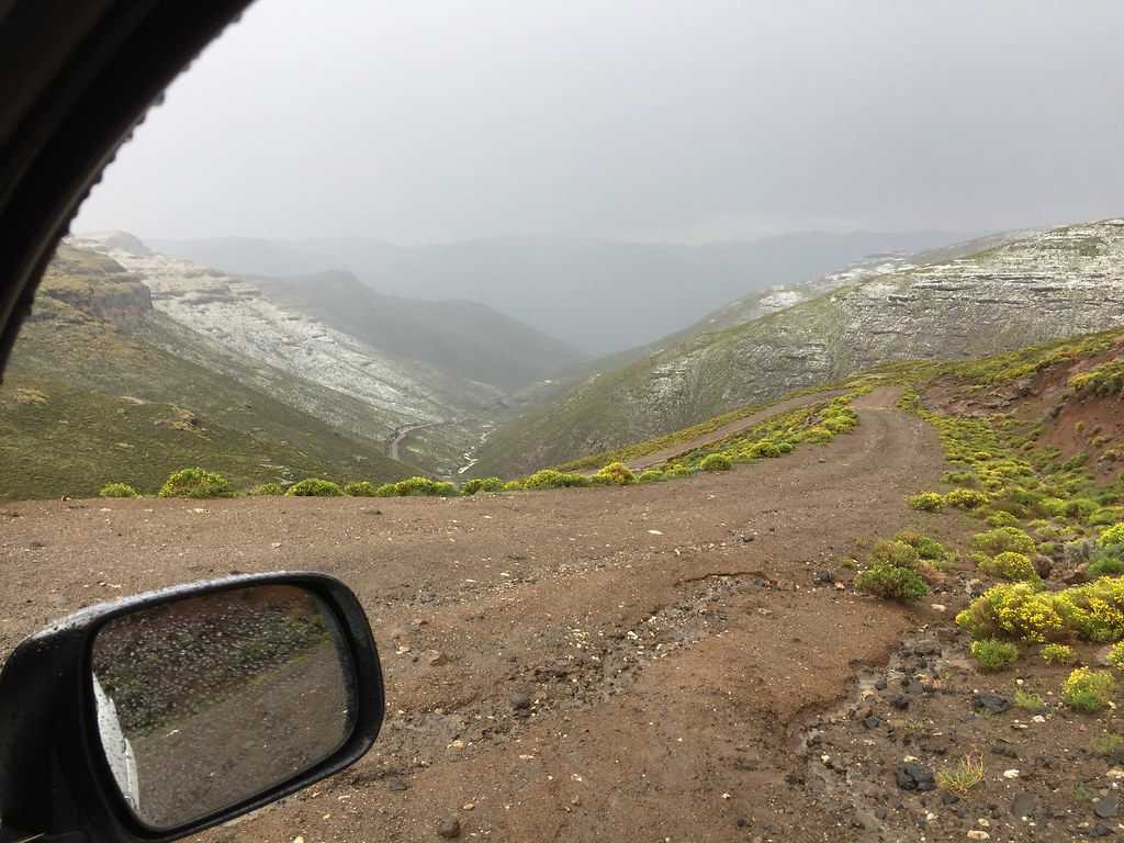
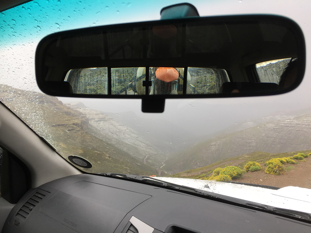
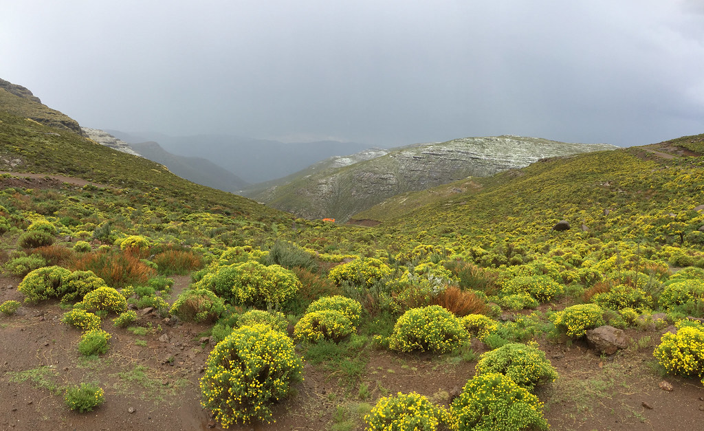
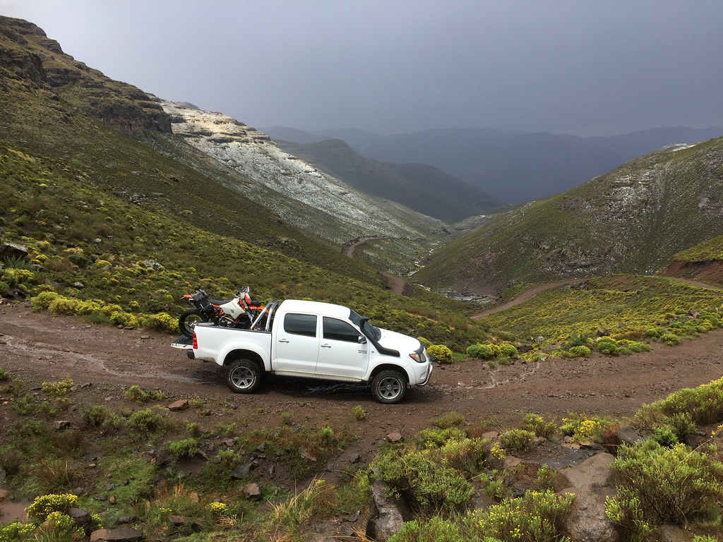
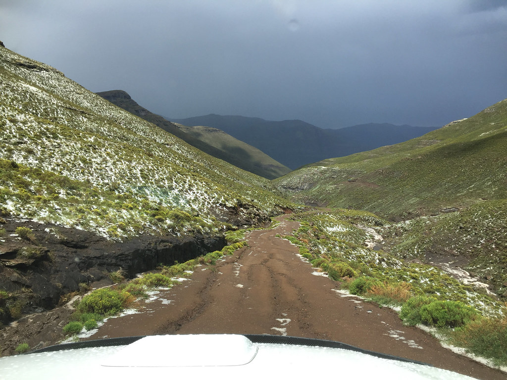
So the next day was just a short liaison with the whole caravan of 40 - 60 km from Afri Ski to the Chalets in the Sky. After lazy breakfast I packed up, got the bike on the car and set-off. It was supposed to be a short and easy drive, but the weather turned particularly nasty with thunderstorms ragging on top of the mountains for hours, including hail hitting the mountains around Chalets in the sky and turning them white. Once off the tar past the Letseng mine, the descent down to the Khubelu valley was very steep and slippery, so I took the car down slow and easy trying to avoid sliding over the edge which seemed entirely possible.
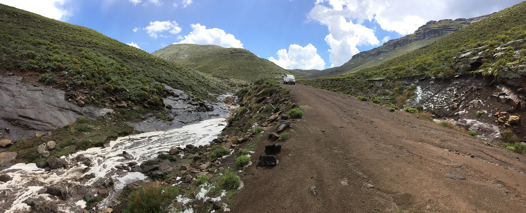
Eventually the weather cleared out and I made it safely to the lodge, where I booked a chalet and moved in. I spend the rest of the day lazing about and getting the bike off the car and ready for the next day ride.
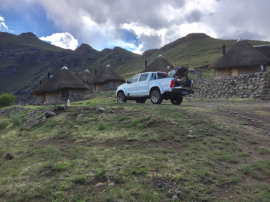
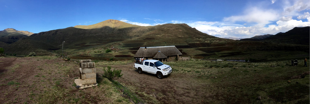
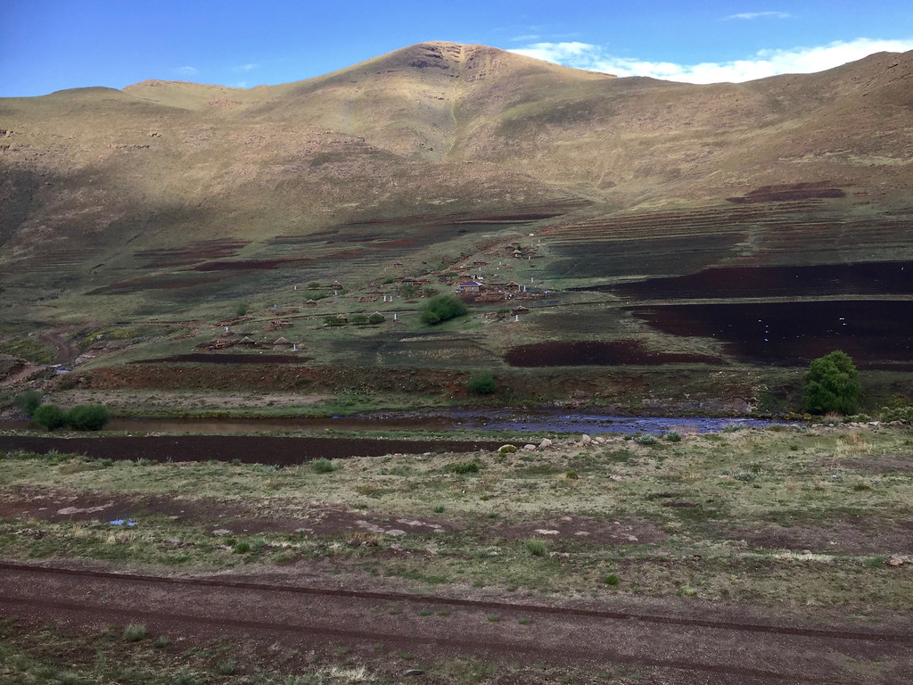
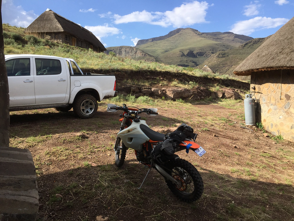
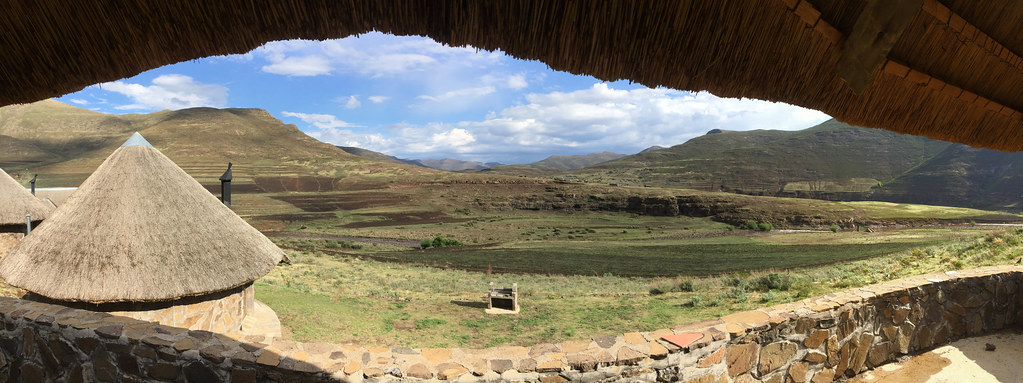
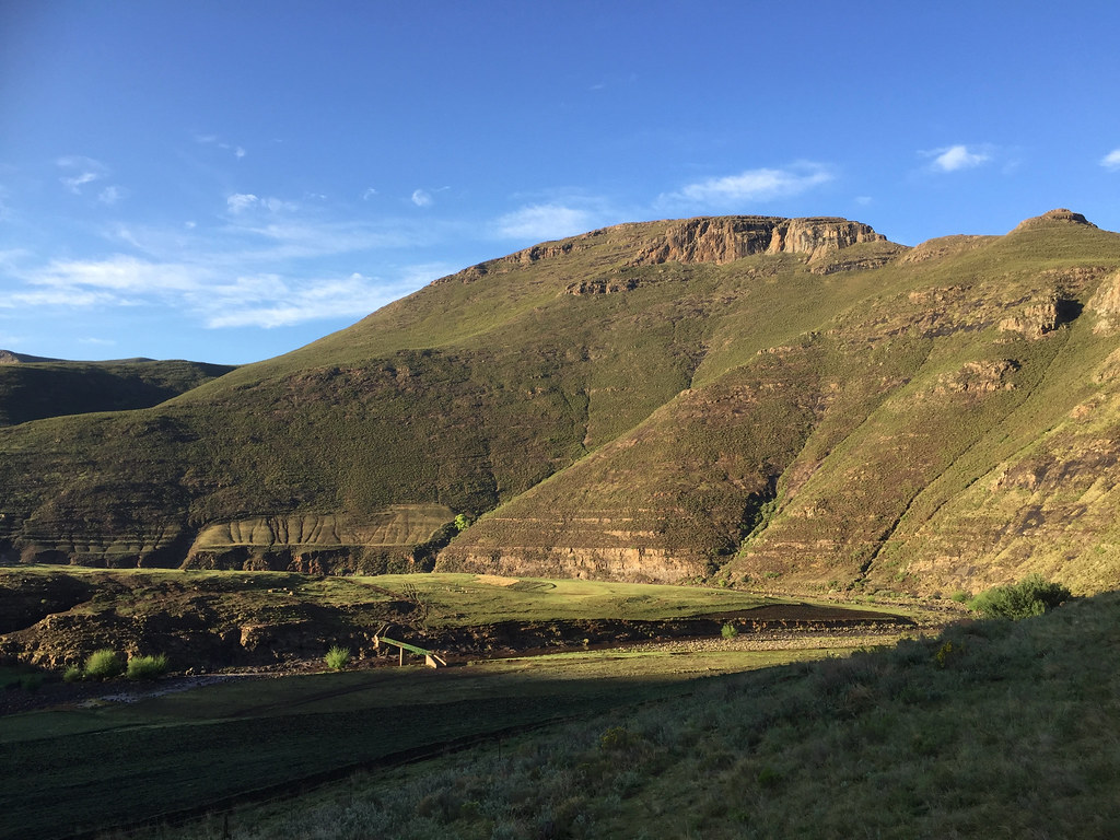
Next day I woke up early kitted up and set-off. For the first about 10 km the track followed Khubelu river on what I assumed was the main road out of that valley to Mokhotlong (it was routable on Googlemaps so I assumed good dirt road). However after few km there was a landslide and I had to take an alternative path I stumbled across. The path was very eroded and while doable in 4x4, it would be very slow and creaky going (so I decided that for my drive to Sani Pass planned for next day I will retrace to the Letseng mine and take tar from there) with number of slippery river crossings (I hate river crossings as they can screw your trip in one slip and avoid them wherever possible - which it was not here).
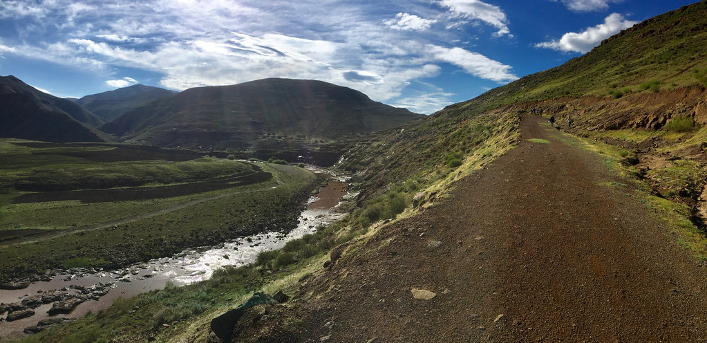
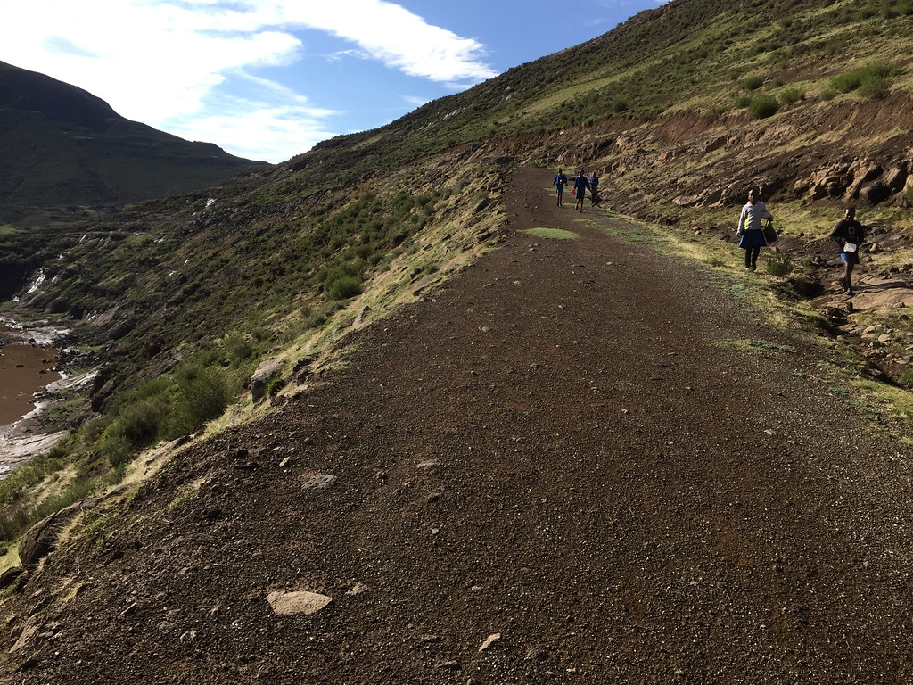
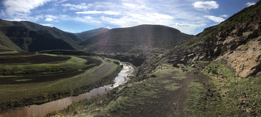
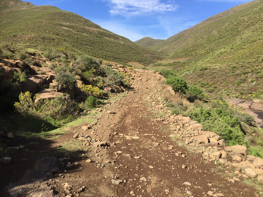
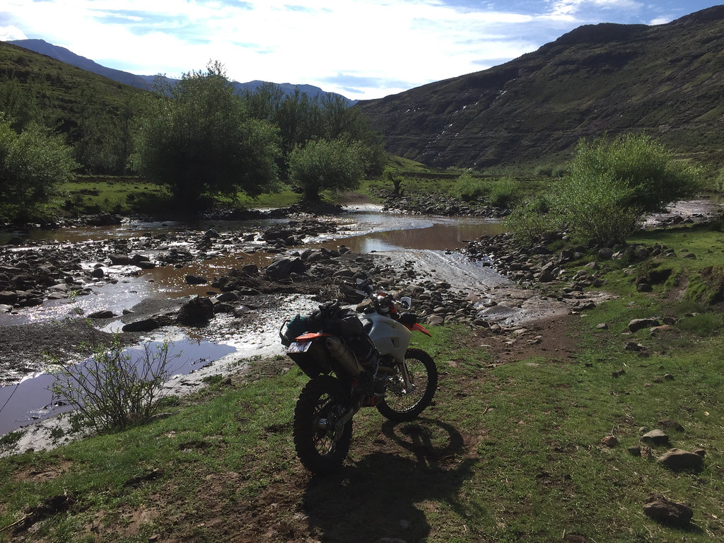
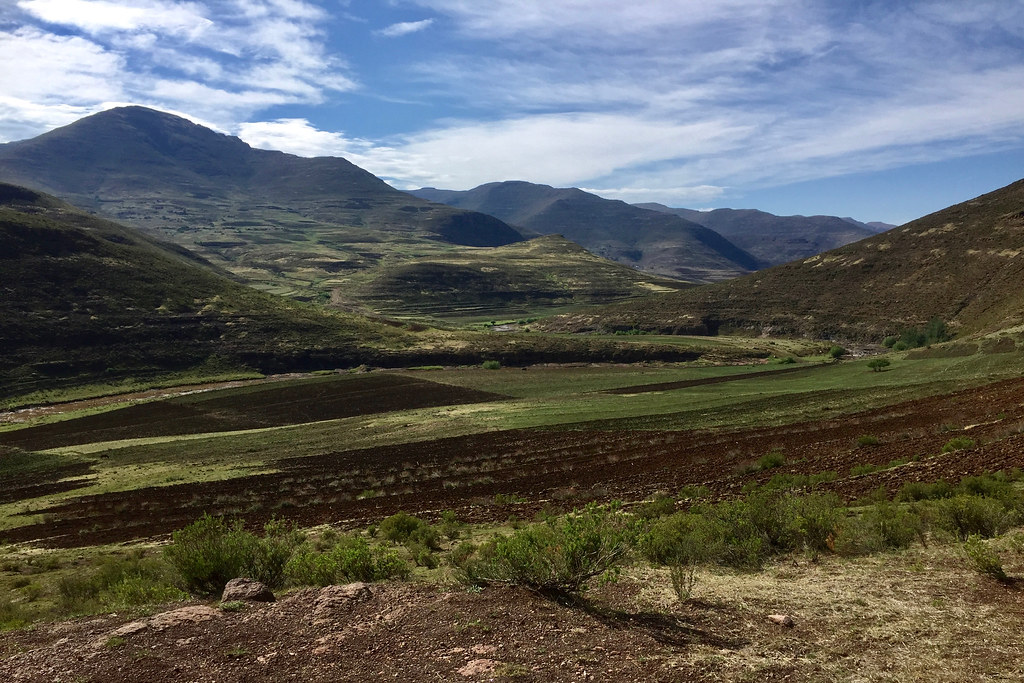
In the next village I have turned east - away from the village and up the valley that would hopefully take me over the mountain range separating Khubelu river and Orange rive valleys. I pushed through the village causing a bit of commotion and hit the valley heading up the mountain. It looked pretty steep and was getting steeper closer to the top with proper off camber section, which didn’t do wonders to my enthusiasm.
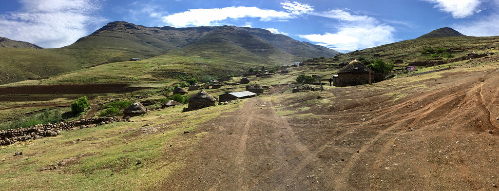
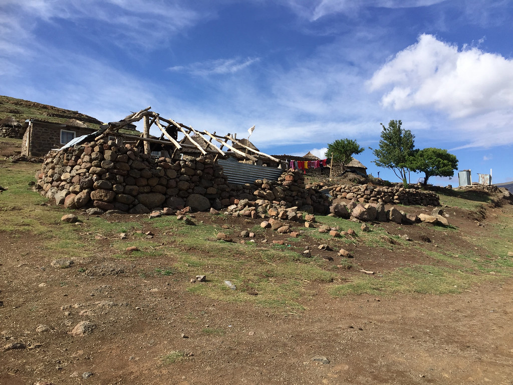
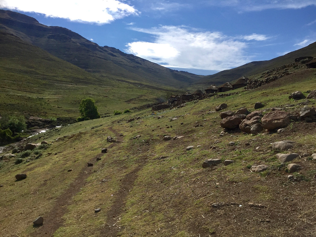
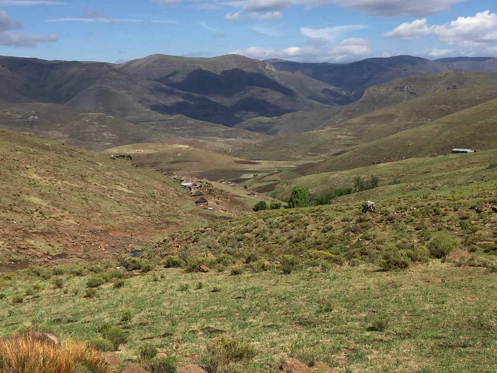
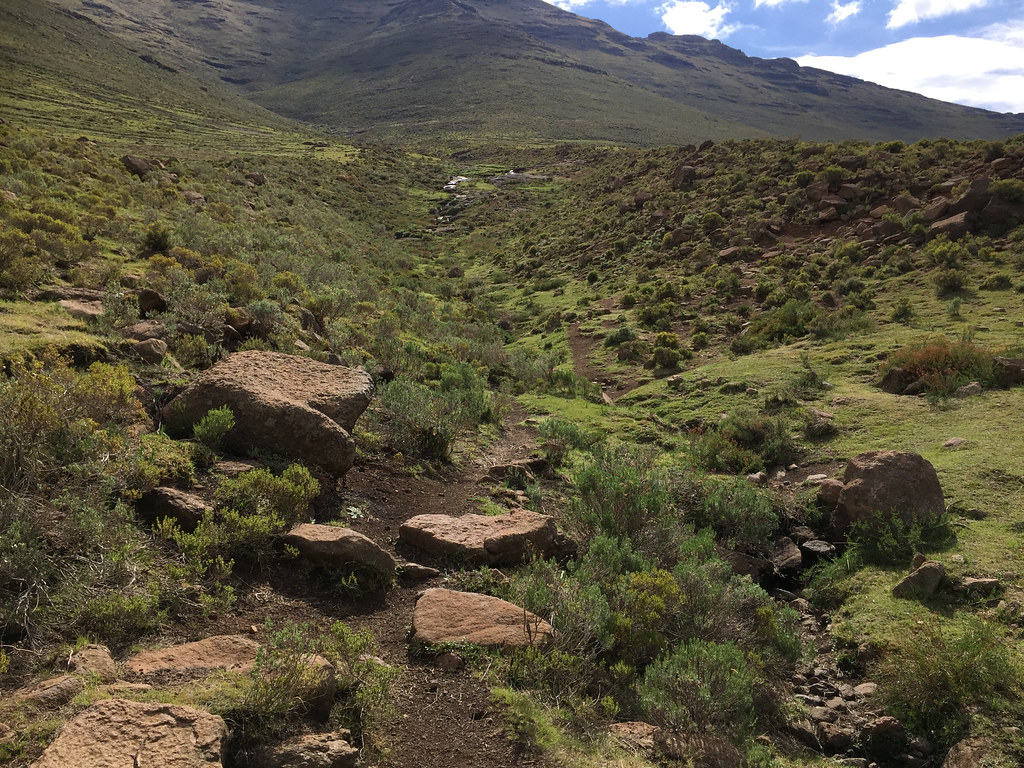
But I pushed on and made reasonably good progress until I got to that top section. It got narrower and steeper, but looked doable even by me. However the weather was turning against me quickly. I lingered about for a while, but eventually - in my best tradition - decided to give up and turn back as I didn’t fancy being caught out by storm similar to the one day before. Even if I would make it to the top, I knew from the contour maps that the other side is even steeper and if I would make it over to Orange and not be able to make it back I would face very long detour down to Mokhotlong and back to Chalets in the Sky - probably good 150 - 200 km on little forgotten Lesotho side roads.
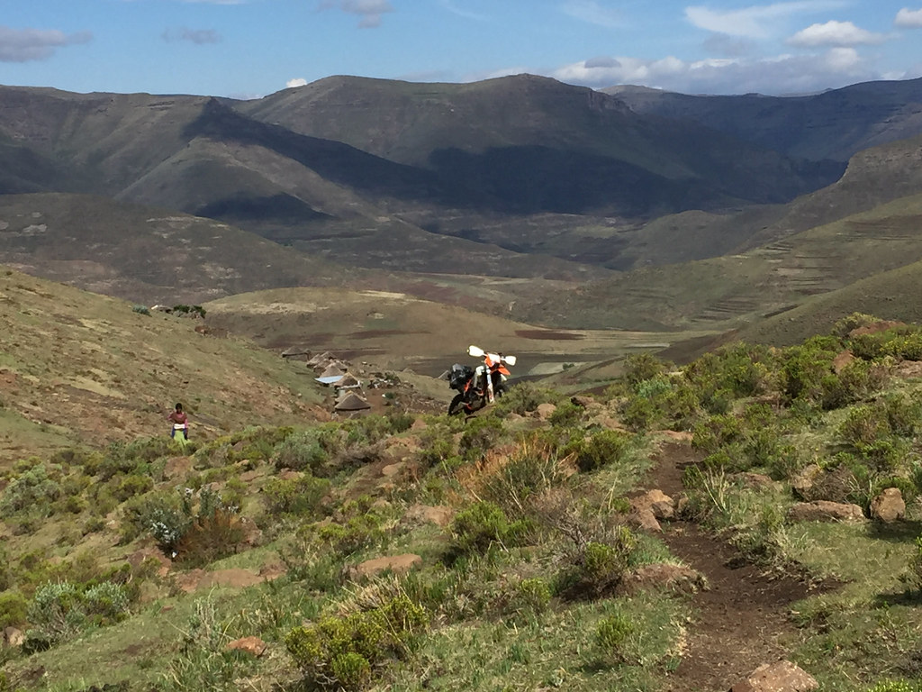
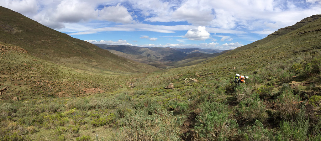
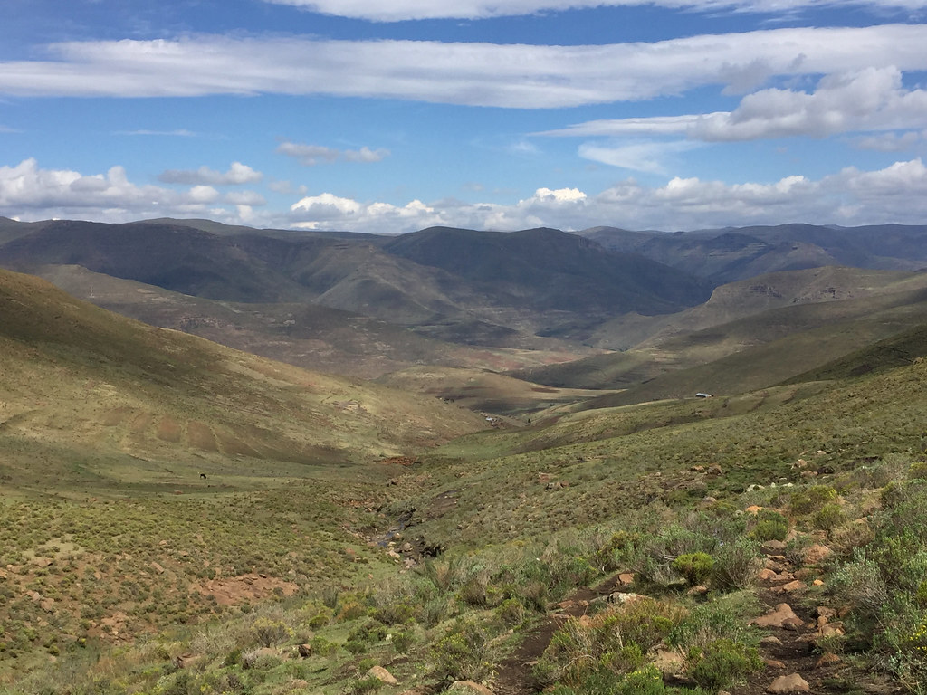
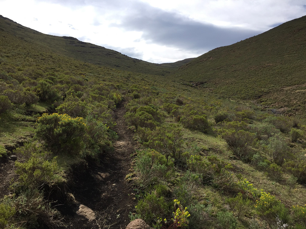
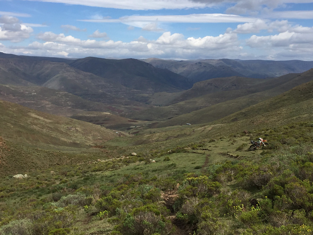
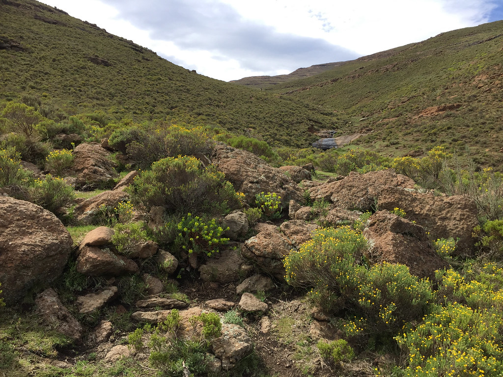
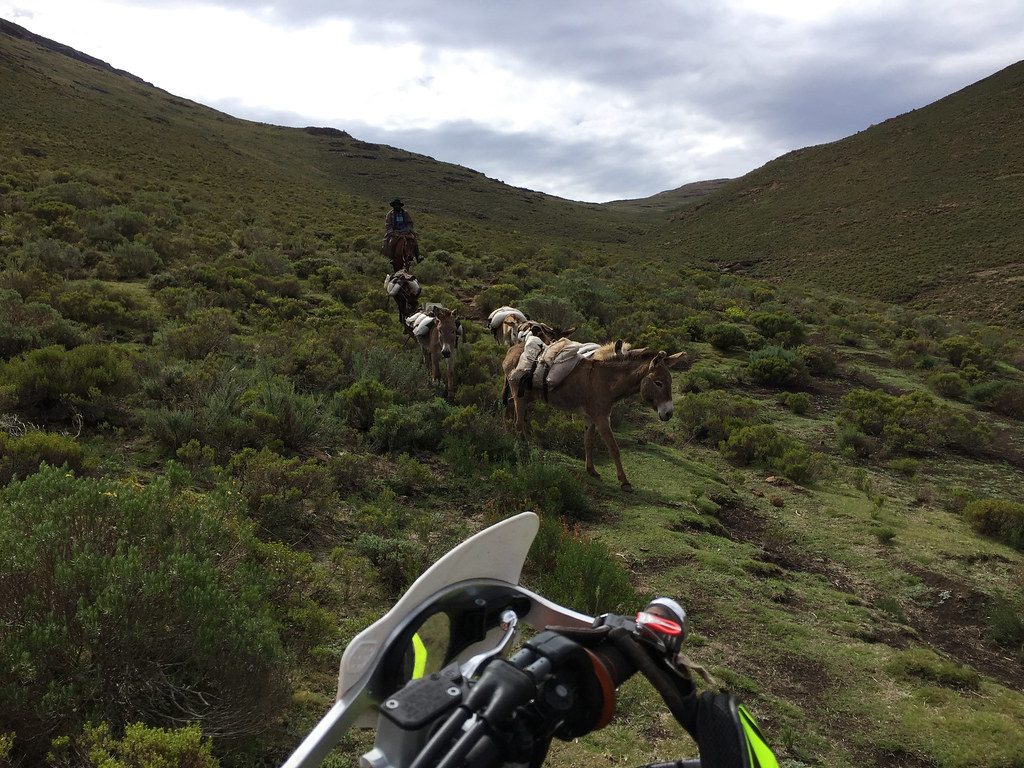
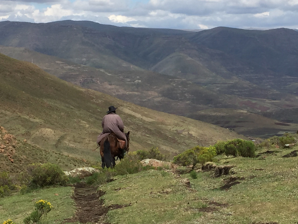
I back tracked to the Chalets in the Sky the same way I came, with time on my hands now I stopped for few pictures:
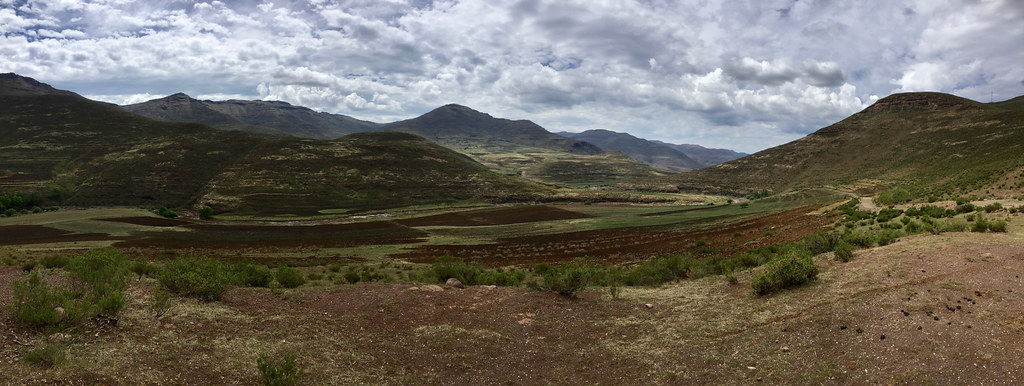

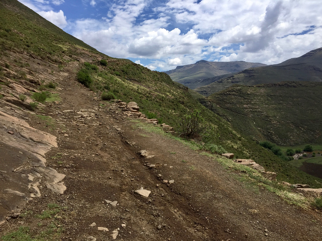

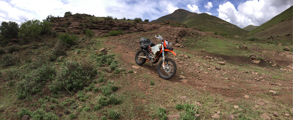
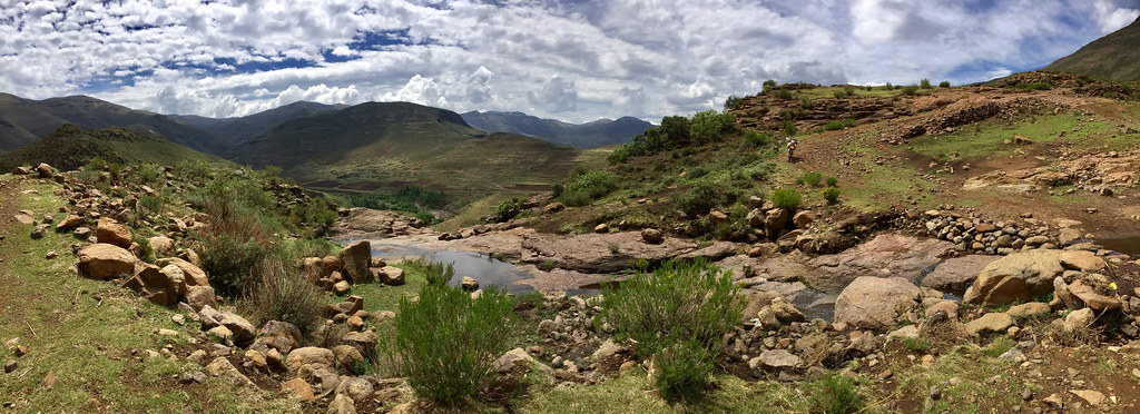
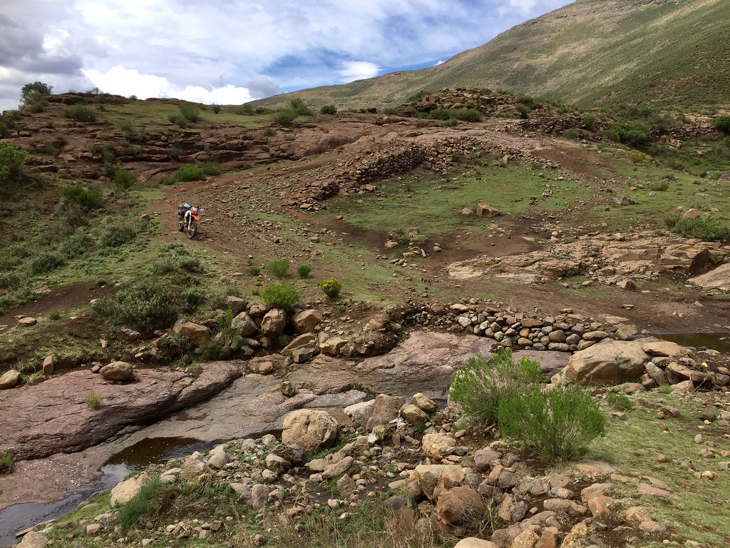
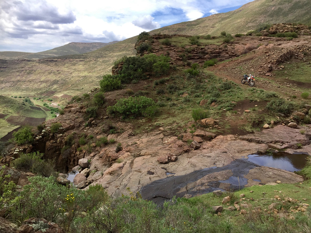
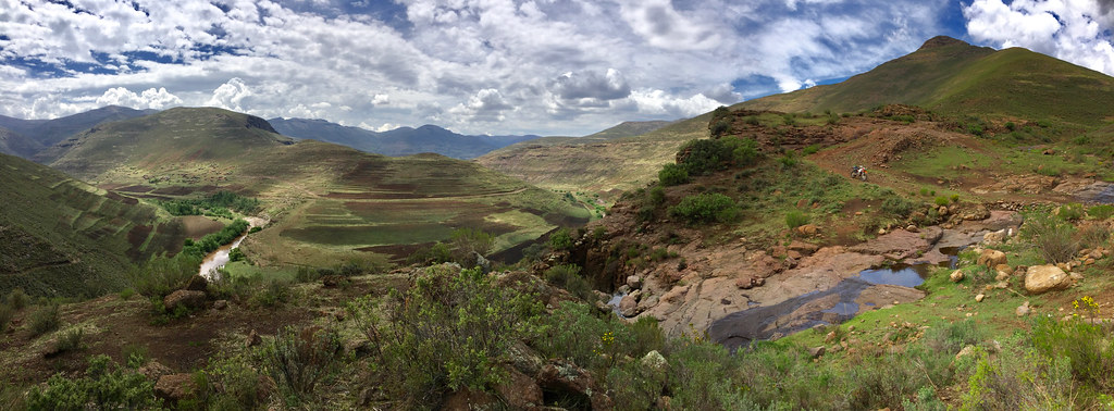
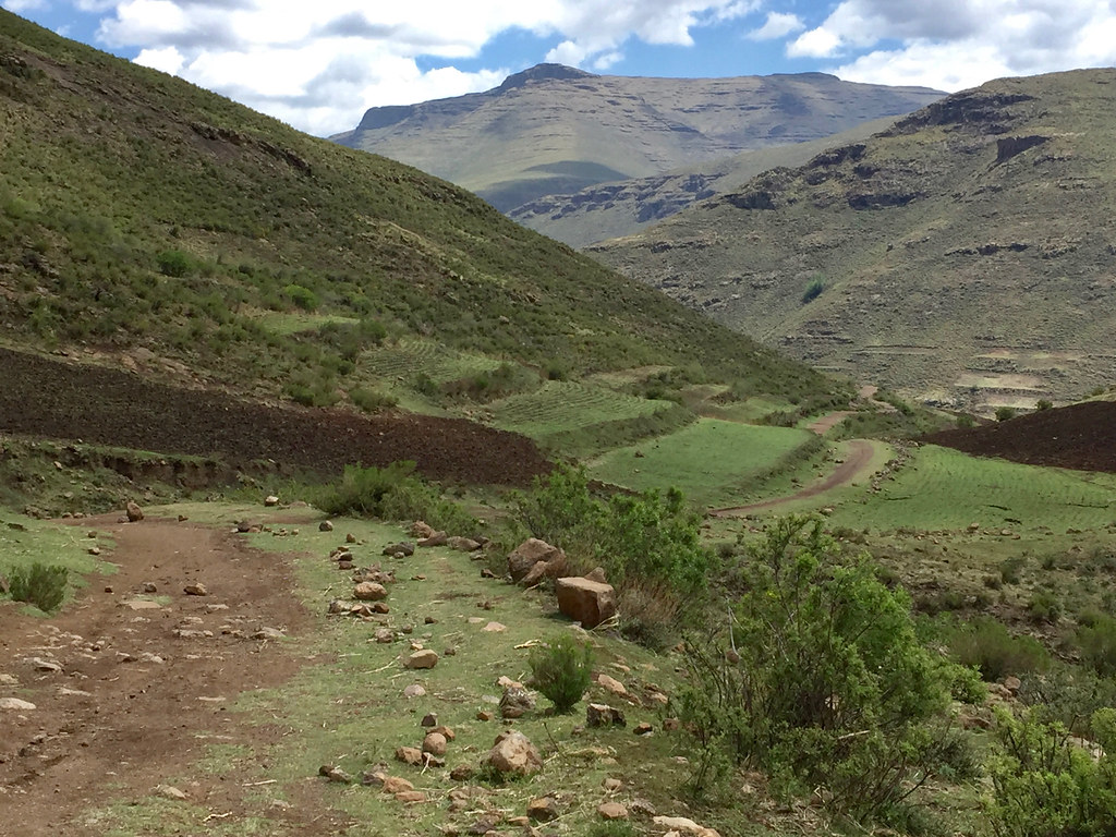
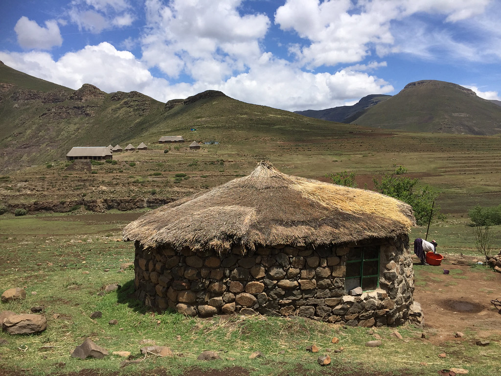
I took the rest of the afternoon off, recoupering my depleted mineral and energy stores by sucking on a beer or 4 from nearby shebeen and reading about Quantum physics - confirming my long held suspicion that it indeed is complete BS.
After about a week of being based off Afri Ski it was time to move the caravan on. The plan was to move the base to the top of Sani Pass to explore tracks along escarpment further south. But before that, I wanted to tie up a loose end I left on that source of Orange river loop the day before - i.e. to figure out if there is an alternative way down the escarpment to one of the nearby valley connecting to Mokhotlong, other than that tricky off-camber section I struggled on day before. Basically I wanted to see if I can find a way to cross from Chalets in the Sky sitting in the Khubelu river valley to the Orange river valley to the east and then climb up to the escarpment from there - which is how the track I have plotted on the satellite images at home.
Here is the detail map of the area around Chalets in the Sky. Orange dot is the source of Orange river and the purple line is the shortcut we took with Martin day before with the tricky off-camber section. I wanted to ride from B to A to second A, cross on the red line to the Orange river to the third A and then take the red line up to source of Orange:

So the next day was just a short liaison with the whole caravan of 40 - 60 km from Afri Ski to the Chalets in the Sky. After lazy breakfast I packed up, got the bike on the car and set-off. It was supposed to be a short and easy drive, but the weather turned particularly nasty with thunderstorms ragging on top of the mountains for hours, including hail hitting the mountains around Chalets in the sky and turning them white. Once off the tar past the Letseng mine, the descent down to the Khubelu valley was very steep and slippery, so I took the car down slow and easy trying to avoid sliding over the edge which seemed entirely possible.


Eventually the weather cleared out and I made it safely to the lodge, where I booked a chalet and moved in. I spend the rest of the day lazing about and getting the bike off the car and ready for the next day ride.


Next day I woke up early kitted up and set-off. For the first about 10 km the track followed Khubelu river on what I assumed was the main road out of that valley to Mokhotlong (it was routable on Googlemaps so I assumed good dirt road). However after few km there was a landslide and I had to take an alternative path I stumbled across. The path was very eroded and while doable in 4x4, it would be very slow and creaky going (so I decided that for my drive to Sani Pass planned for next day I will retrace to the Letseng mine and take tar from there) with number of slippery river crossings (I hate river crossings as they can screw your trip in one slip and avoid them wherever possible - which it was not here).


In the next village I have turned east - away from the village and up the valley that would hopefully take me over the mountain range separating Khubelu river and Orange rive valleys. I pushed through the village causing a bit of commotion and hit the valley heading up the mountain. It looked pretty steep and was getting steeper closer to the top with proper off camber section, which didn’t do wonders to my enthusiasm.


But I pushed on and made reasonably good progress until I got to that top section. It got narrower and steeper, but looked doable even by me. However the weather was turning against me quickly. I lingered about for a while, but eventually - in my best tradition - decided to give up and turn back as I didn’t fancy being caught out by storm similar to the one day before. Even if I would make it to the top, I knew from the contour maps that the other side is even steeper and if I would make it over to Orange and not be able to make it back I would face very long detour down to Mokhotlong and back to Chalets in the Sky - probably good 150 - 200 km on little forgotten Lesotho side roads.


I back tracked to the Chalets in the Sky the same way I came, with time on my hands now I stopped for few pictures:


I took the rest of the afternoon off, recoupering my depleted mineral and energy stores by sucking on a beer or 4 from nearby shebeen and reading about Quantum physics - confirming my long held suspicion that it indeed is complete BS.


