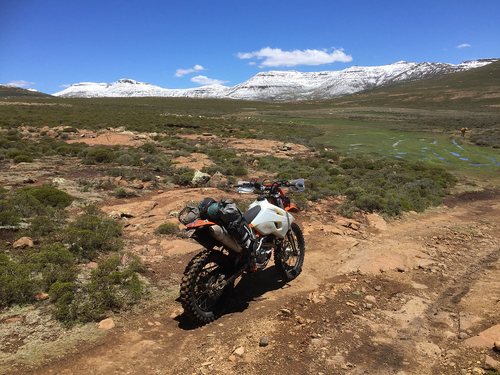
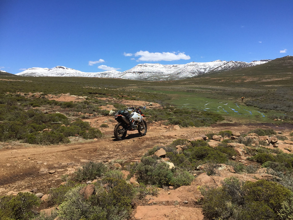
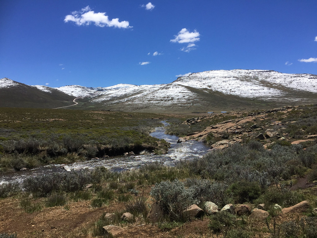
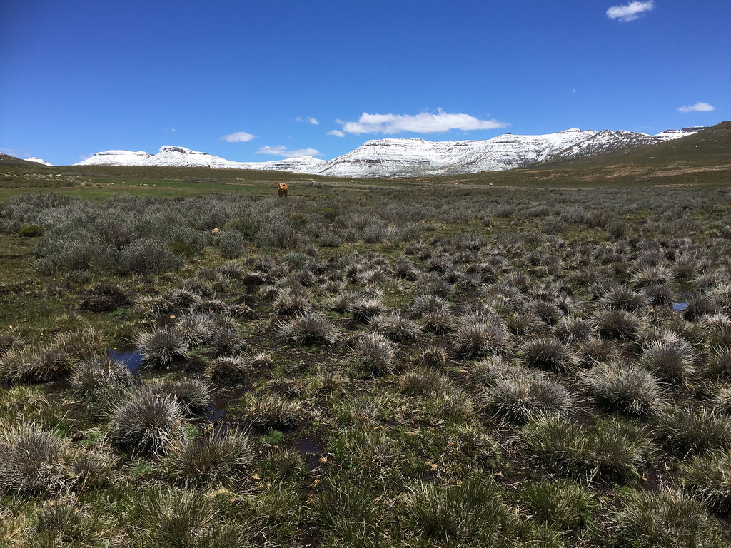
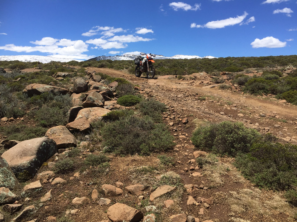
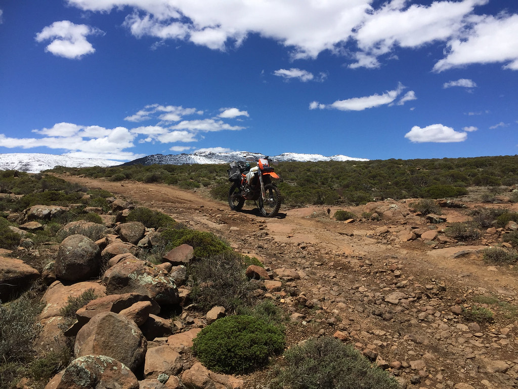
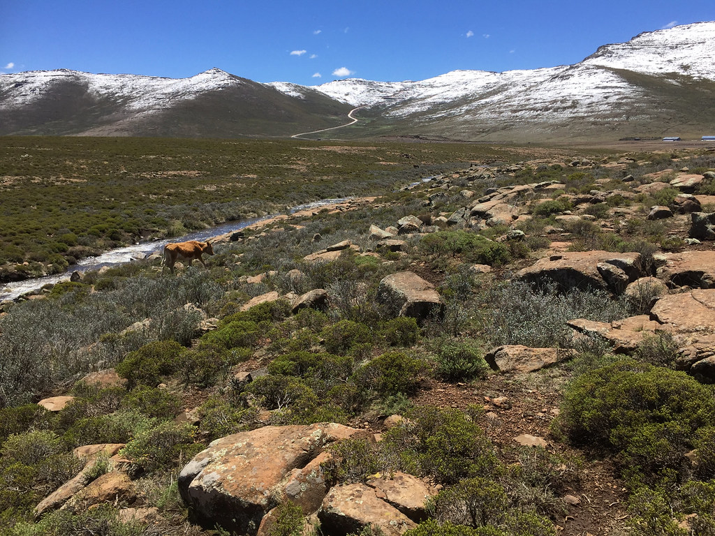
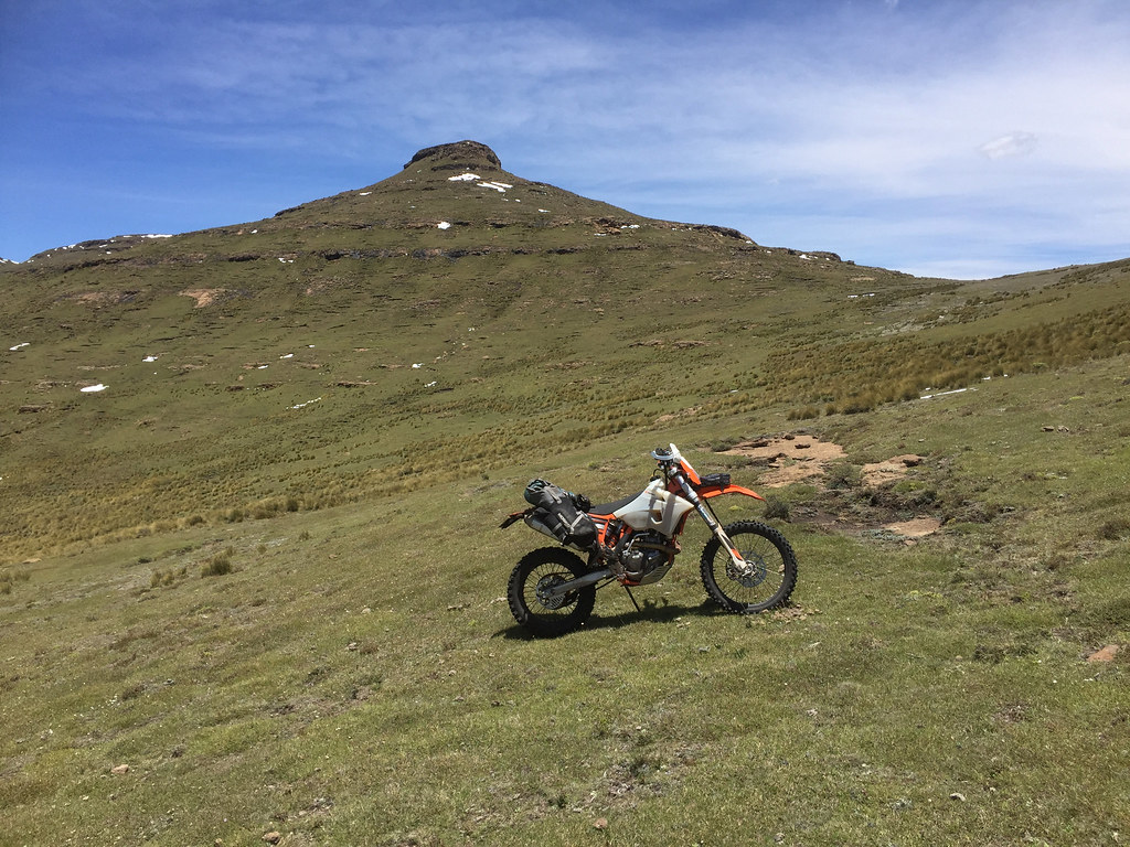
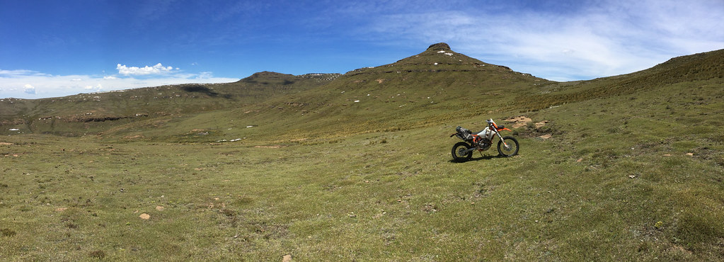
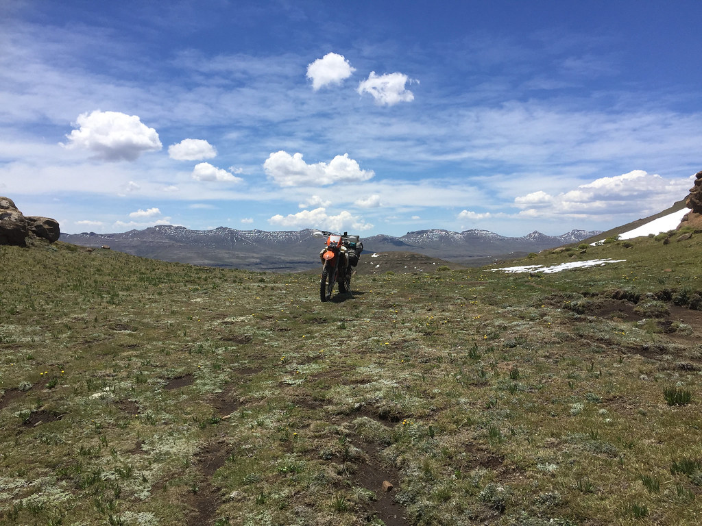
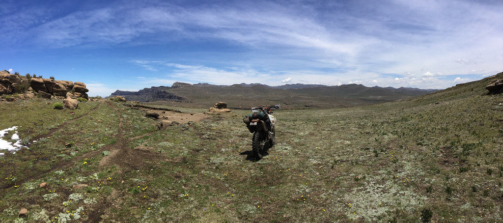
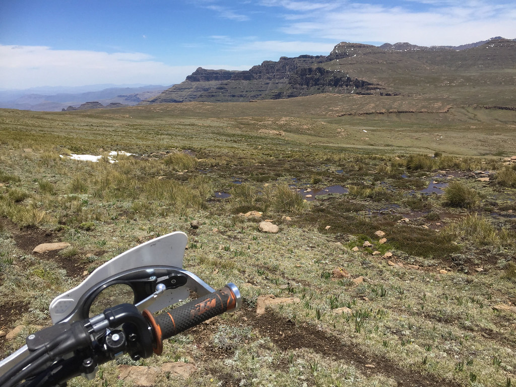
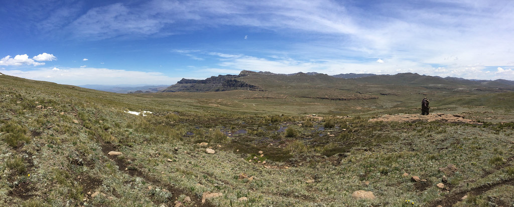
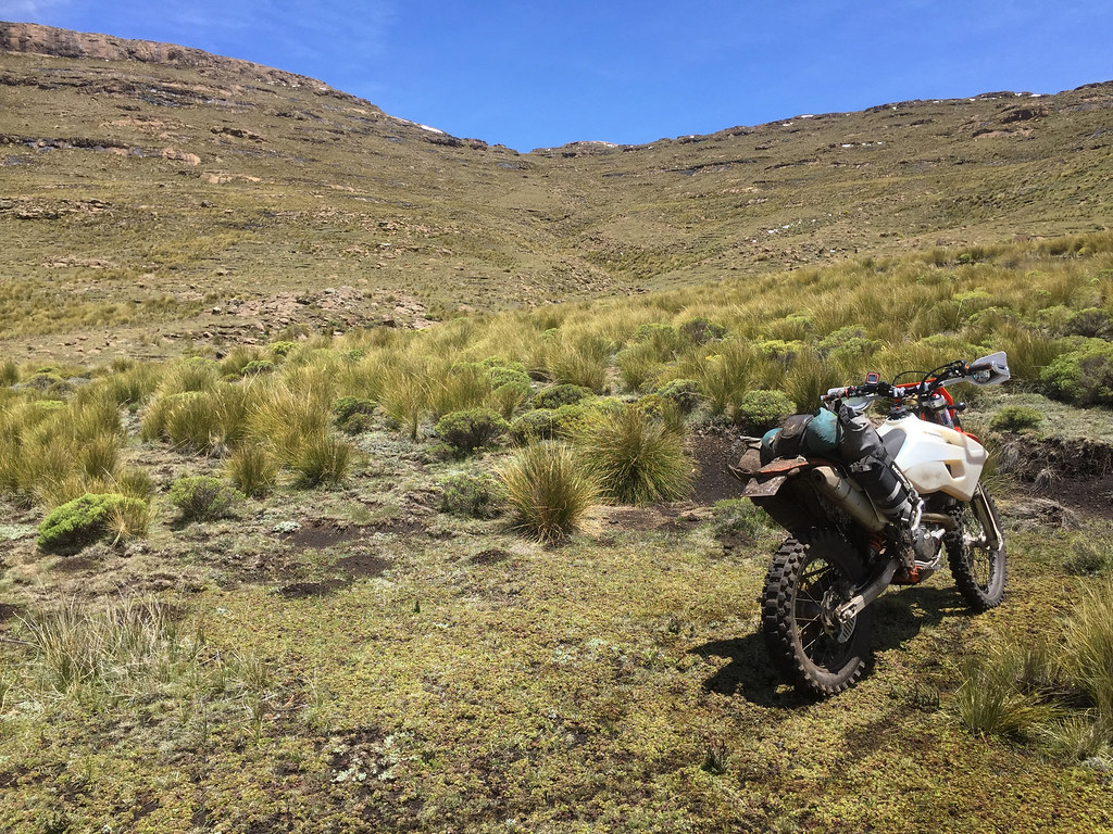
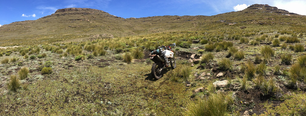
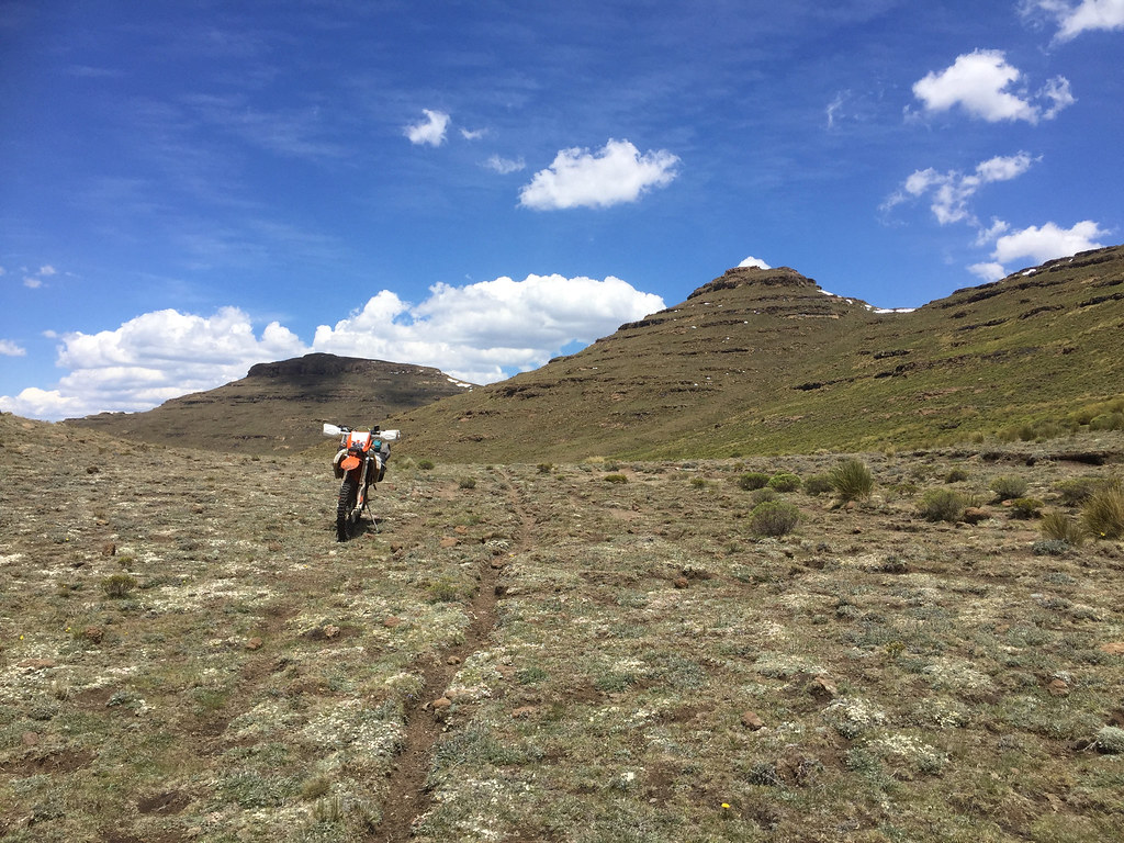
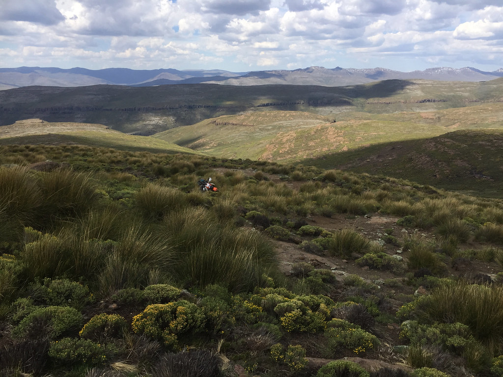
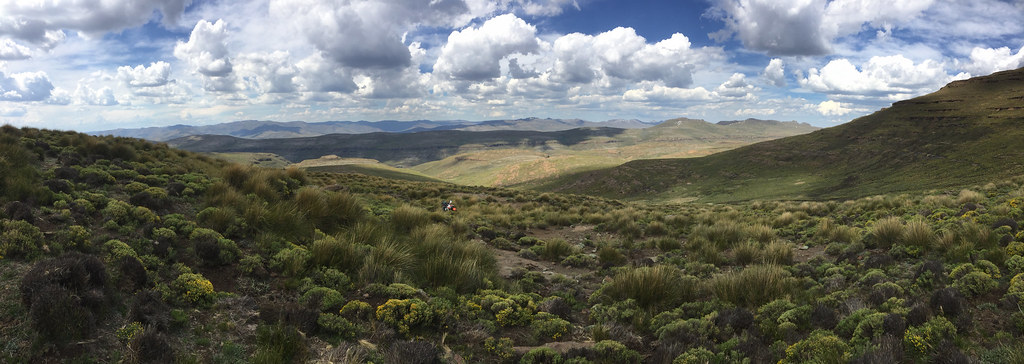
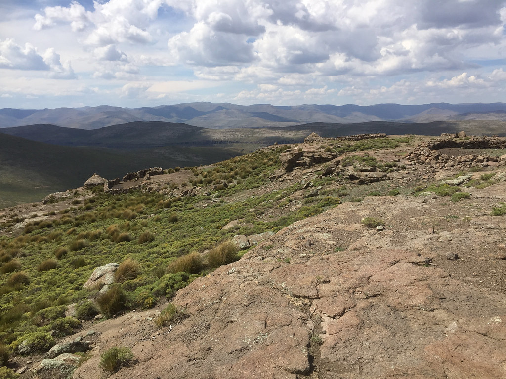
Lesotho Rock'N'Roll

This site may earn a commission from merchant affiliate links, including eBay, Amazon, and others.
I like the idea of quantum physics that matter can exhibit the properties of a wave and that the energy or quantum of each cycle increases  with the frequency. That means if you come back and do it on a cyclic basis that your quantum of energy for each attempt will increase and you will nail it.
 
Ian, I was somewhat drunk - that comment was tongue in the cheek.

I do have my doubts though  >:D - I don't like when something requires PHD in math to supposedly make sense. I don't think nature does math or duality like particla/wave duality (wave of what?). But that is beside the point - I was just trying to lighten up end of that episode a bit.
 
Day 14 - 16 / Christmasy Intermezzo


Next morning I packed up, retraced back up the valley to the tar road which I connected to near Letseng mine and headed south-east on the way to Sani Pass. I stopped at Mokhotlong where I restocked on food and drinks and filled up my tanks and jerry cans.

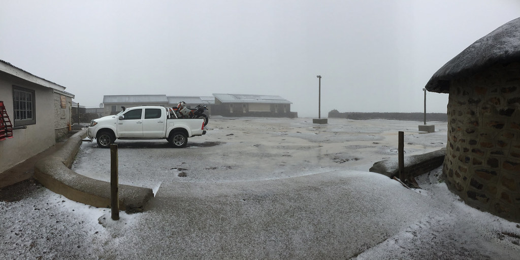
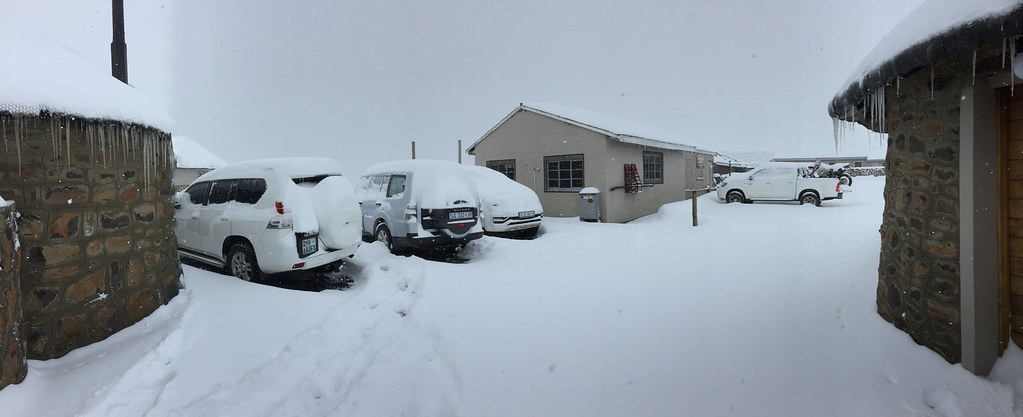
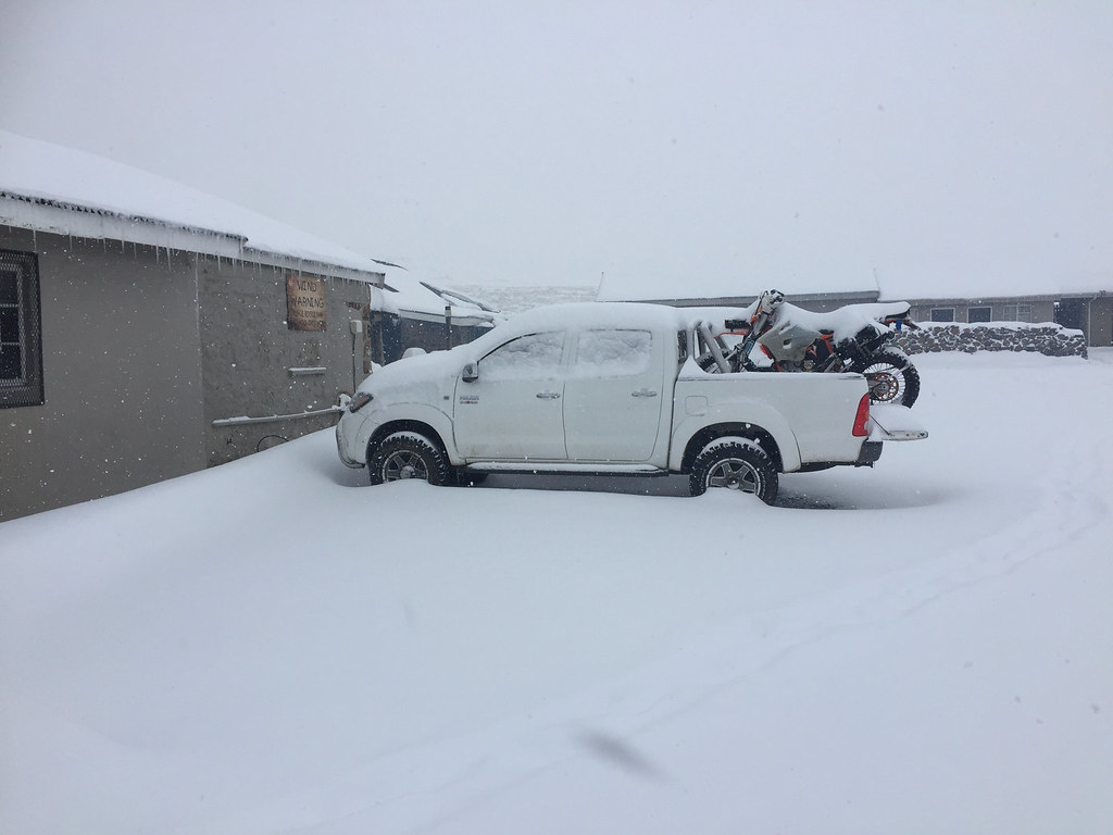
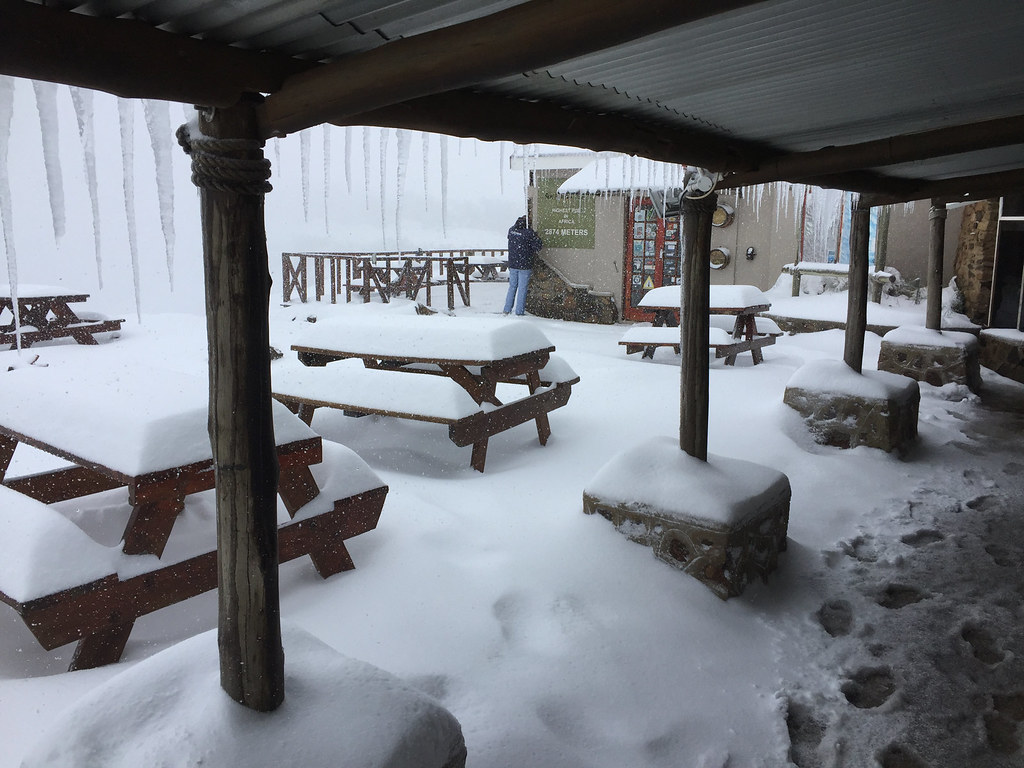
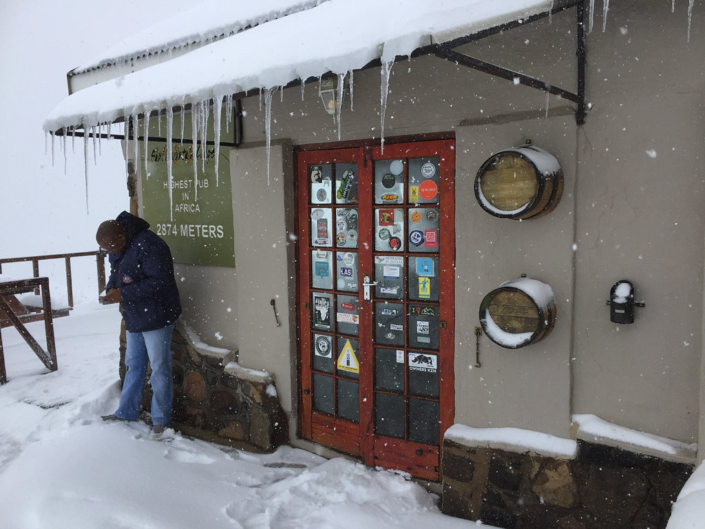
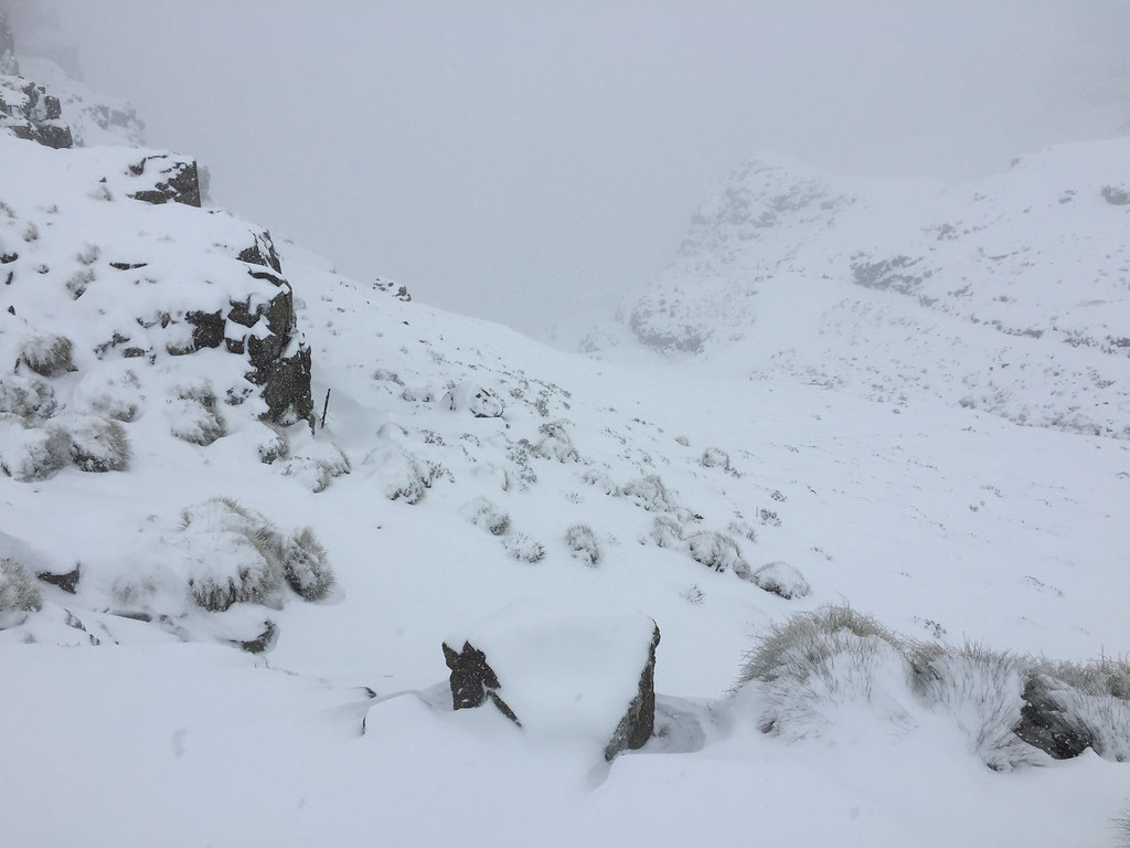
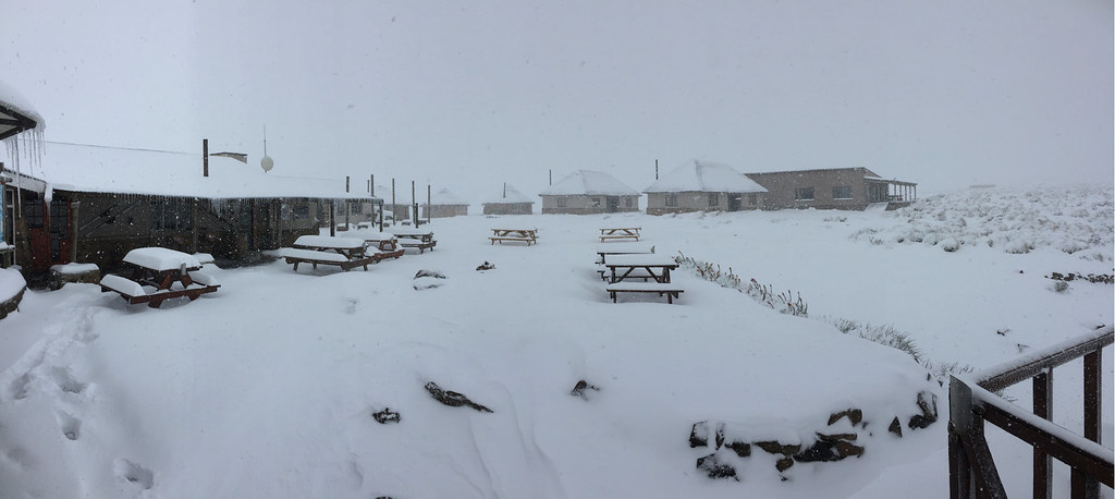
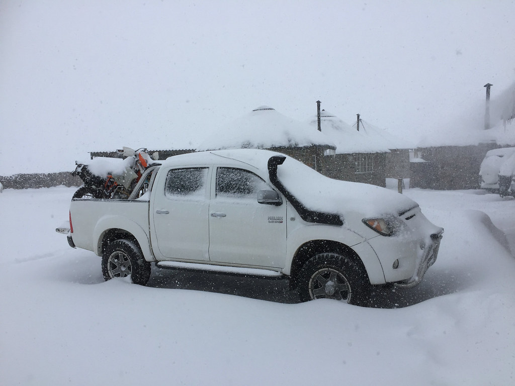
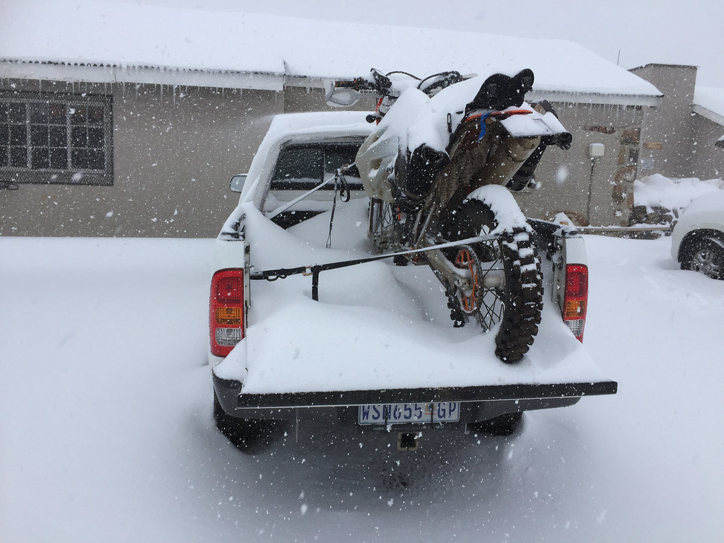
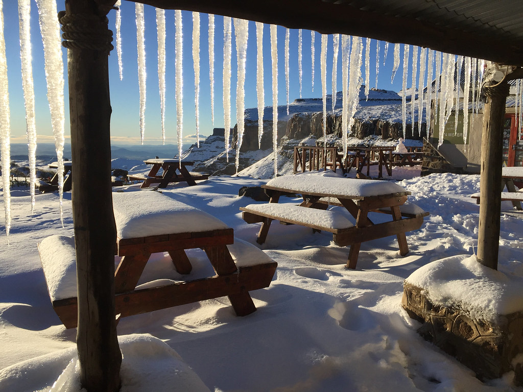
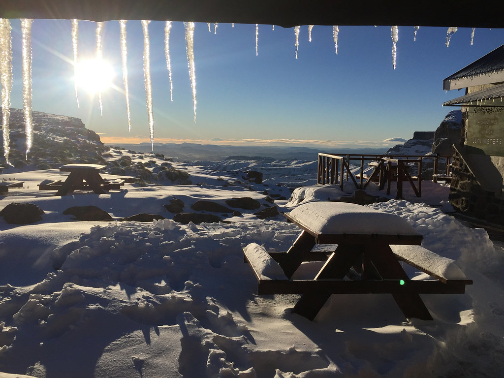
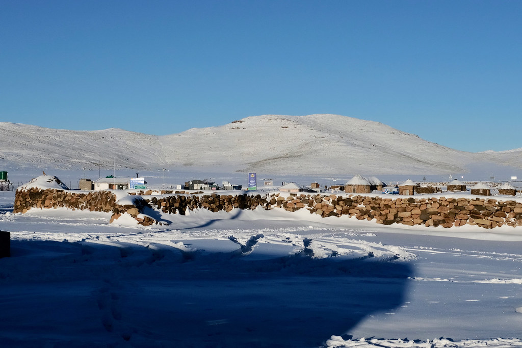
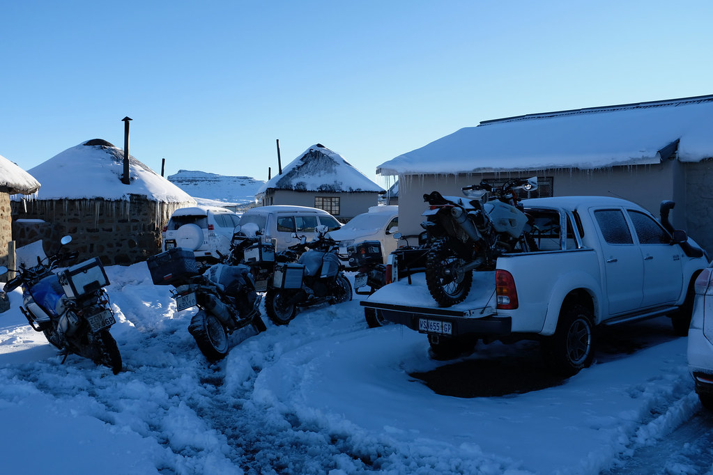
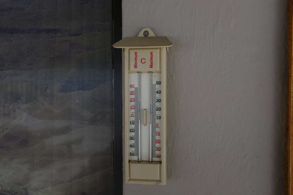
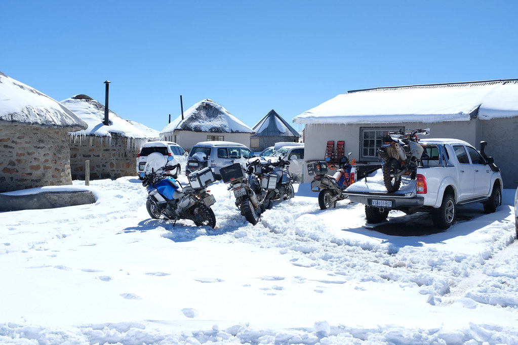
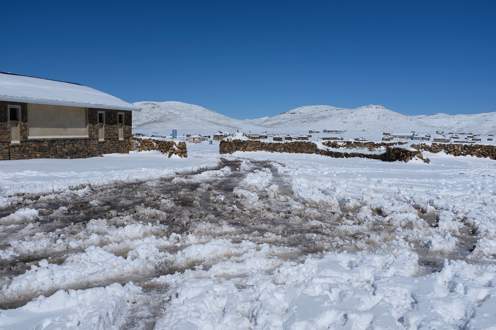
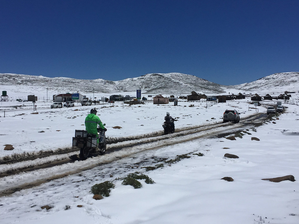
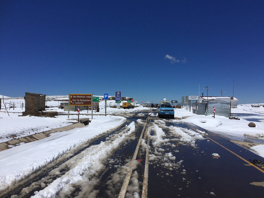
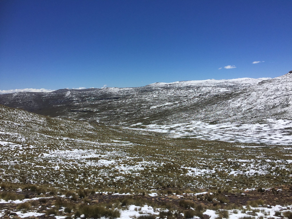
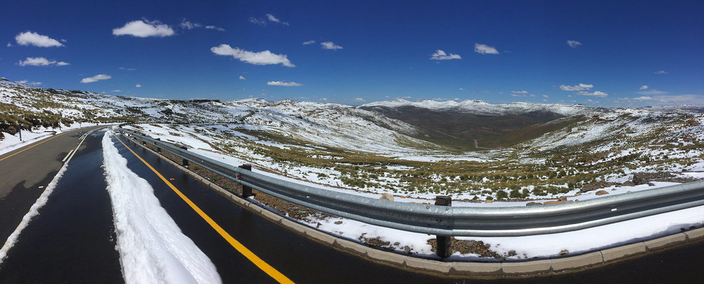
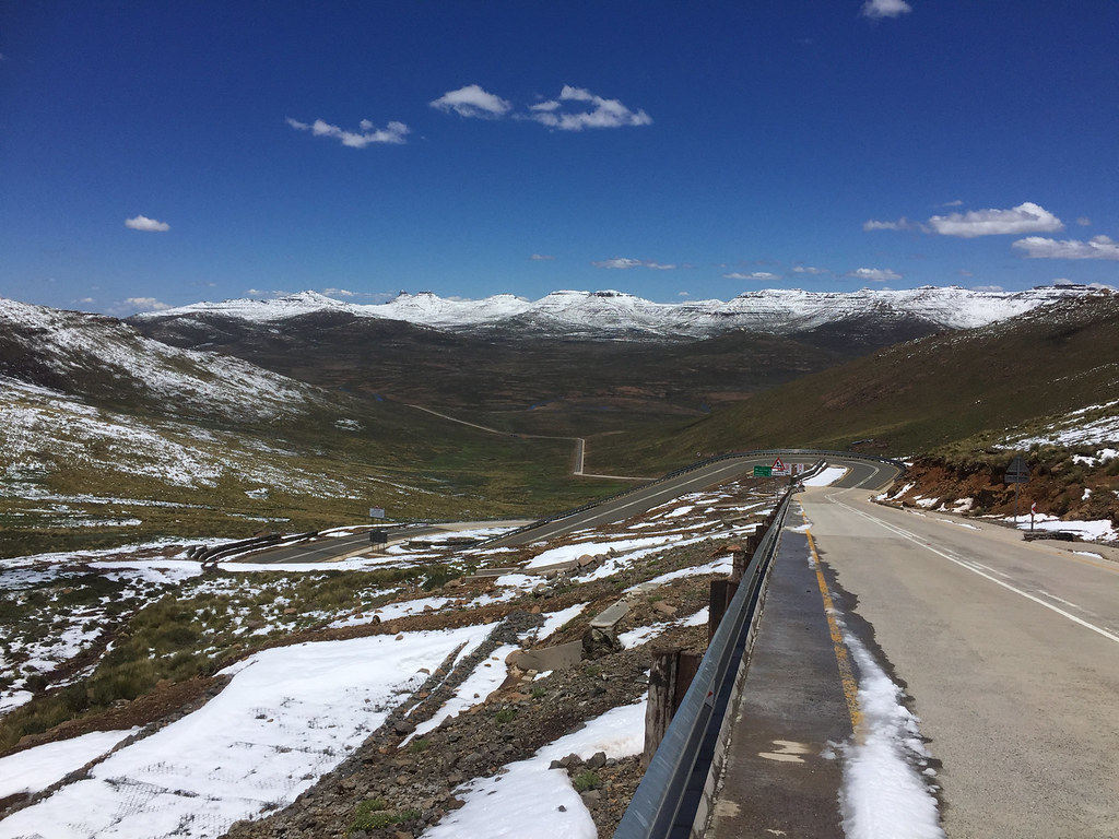
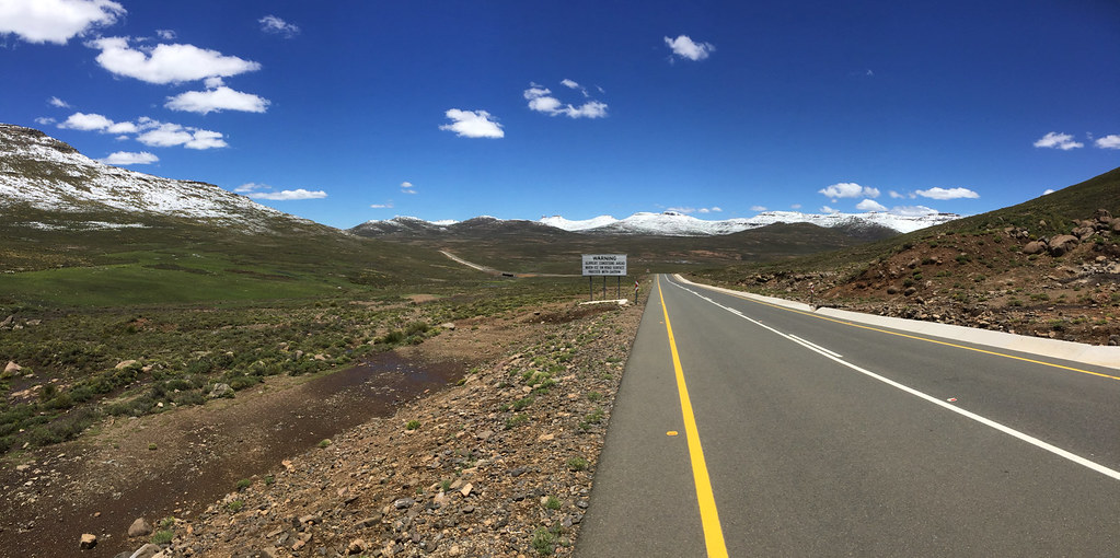
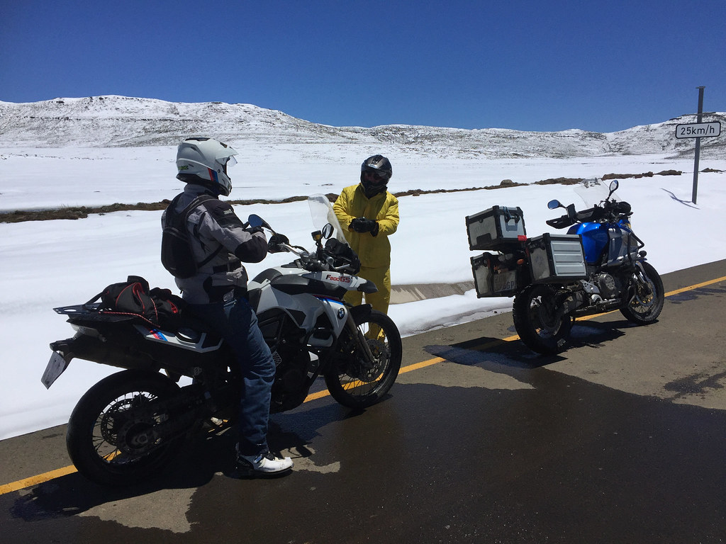
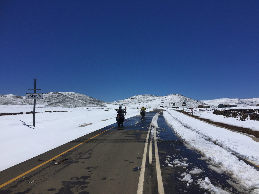
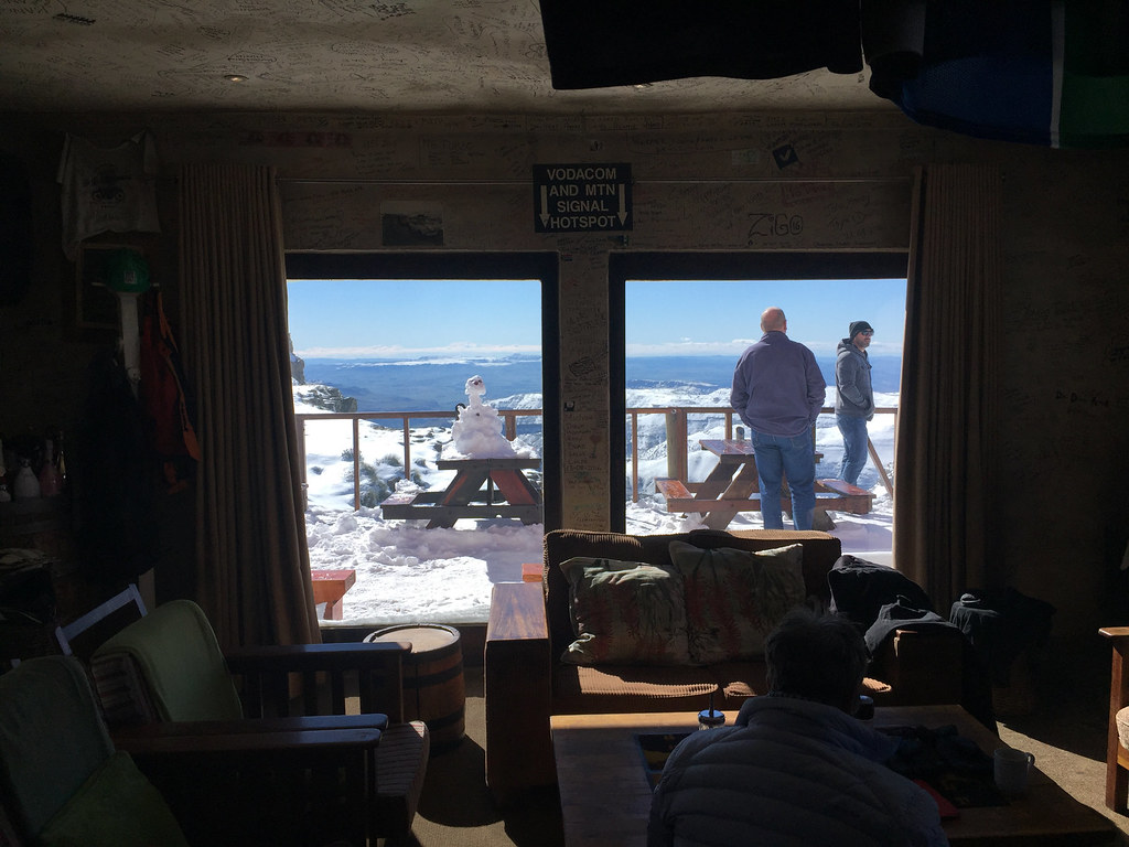
I have arrived to Sani Pass pub in the early afternoon and booked a chalet. Soon after I settled it in started to snow which - however surprising in November - I somewhat expected as it has been forecasted. What I didn't expect was that the snowing will continue for two days and take another two days to melt sufficiently for me to attempt the next leg of my trip.

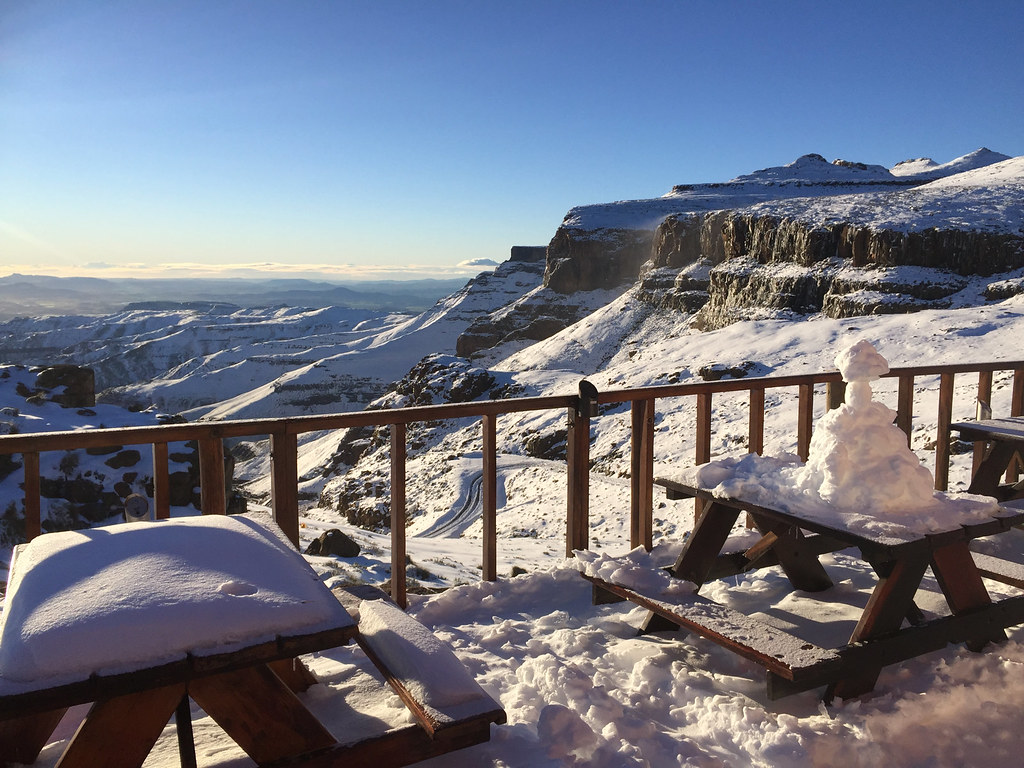
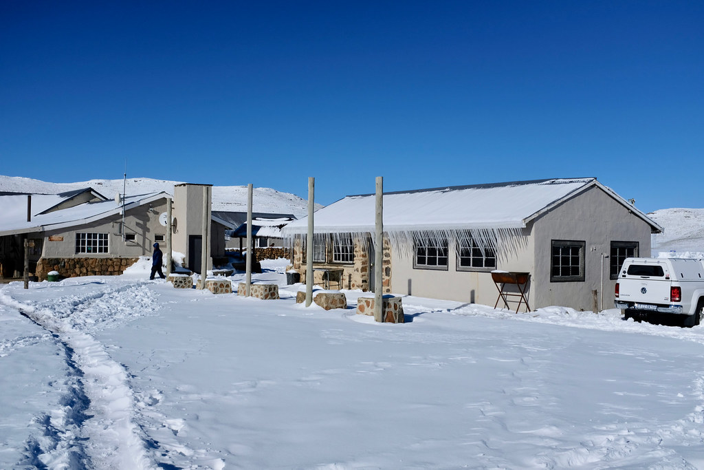
Not much to report for those 4 days - I've spent them mostly reading curled up in my cosy chalet with fire in the stove keeping me warm, crawling out only to check the snow levels and eat at the pub. Here is quick pictorial summary of those days:


Early stages soon after it started snowing - this looked harmless and I fully expected the snow to be gone by the morning:

39239064232_795ca86b4e_b.jpg


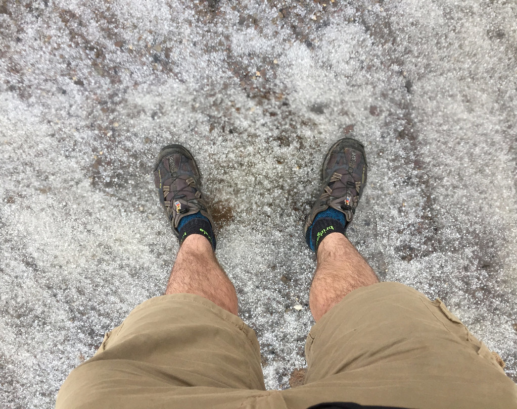
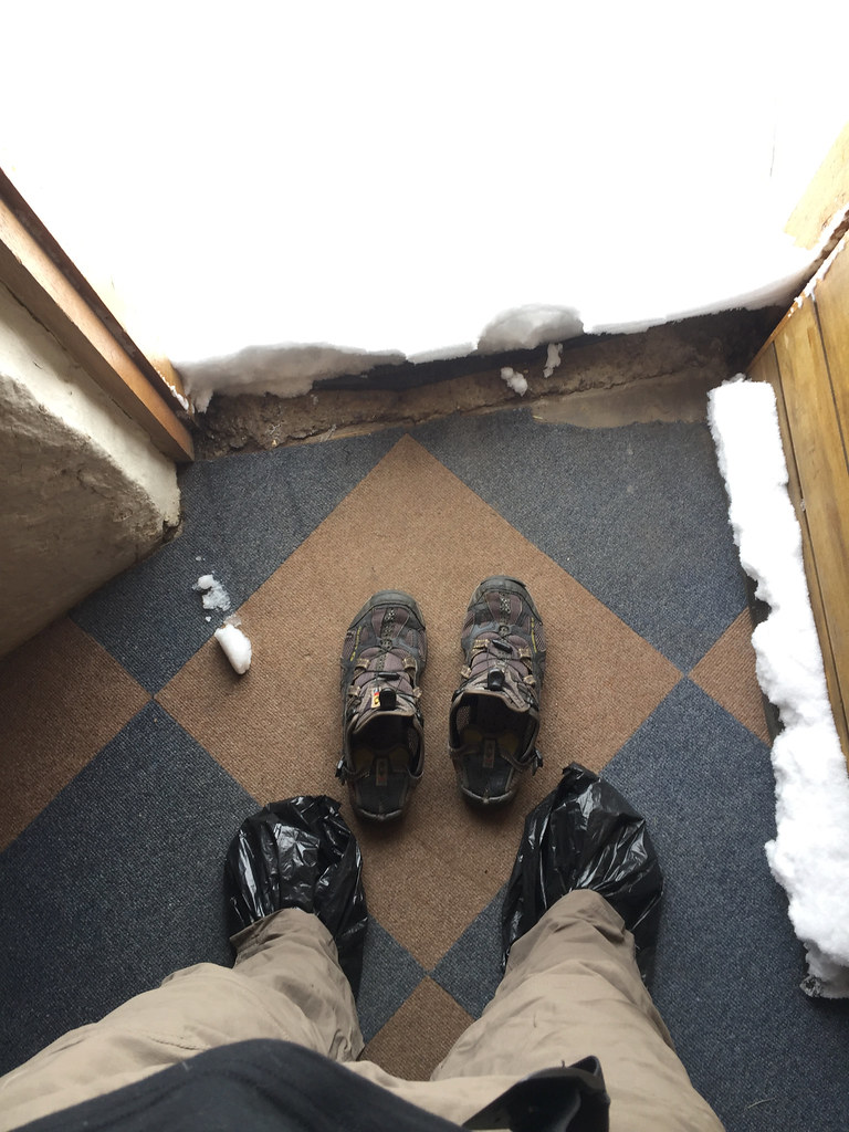
Luckily I came well prepared (actually at the later stages I resorted to walking barefoot in snow as my feet were getting wet in the sandals and socks anyway. That I until I stopped feeling some of my toes, than I came with different plan):

39239057932_7907841a25_b.jpg


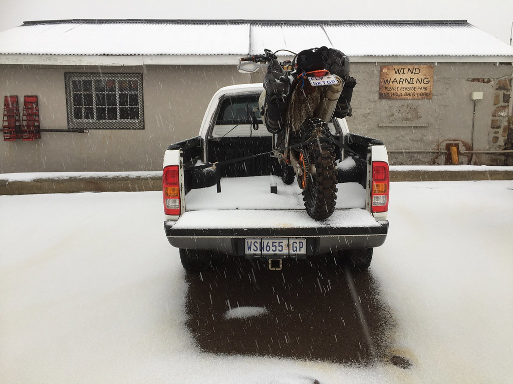
Later in the afternoon on day 14:

38560433154_7b932593a0_b.jpg


38560428984_d071db7756_b.jpg


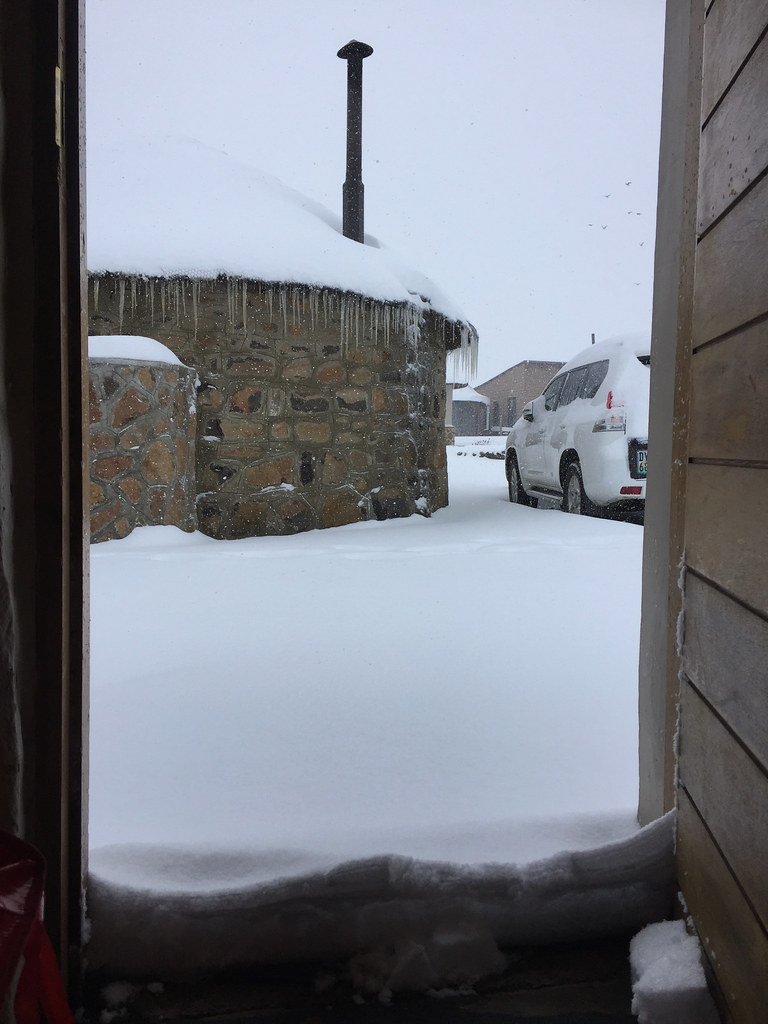
Morning day 15:

39267745751_c999eded92_b.jpg


38391005275_51479975f7_b.jpg


39267717511_0f1b59dbd7_b.jpg


38390986825_be692c7460_b.jpg


27491759579_207df4159b_b.jpg


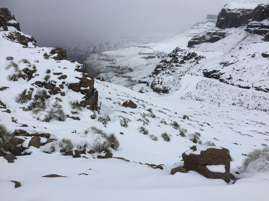
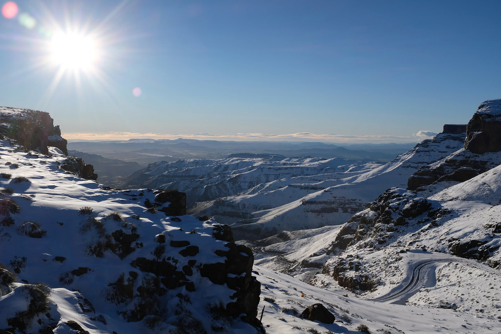
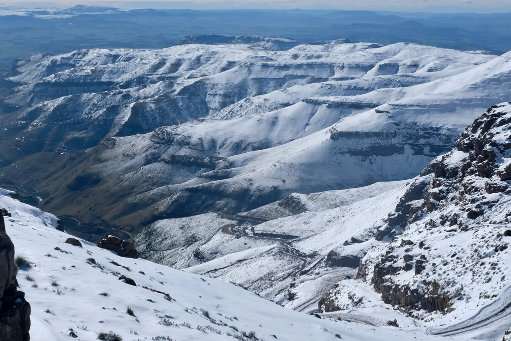
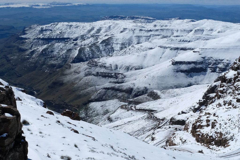
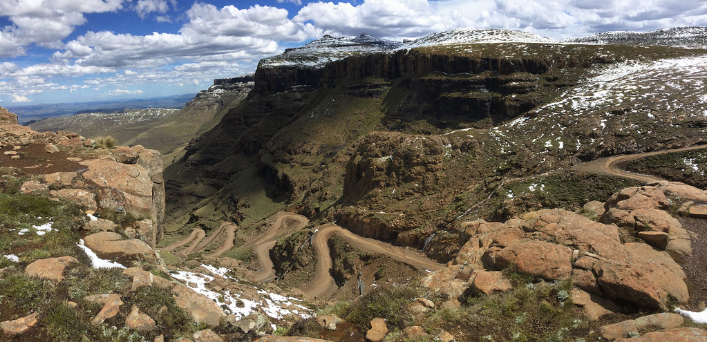
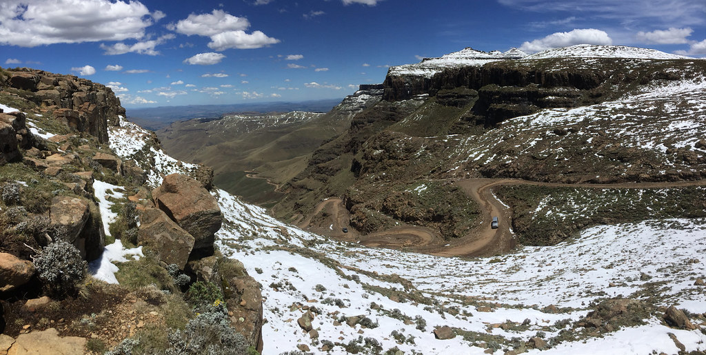
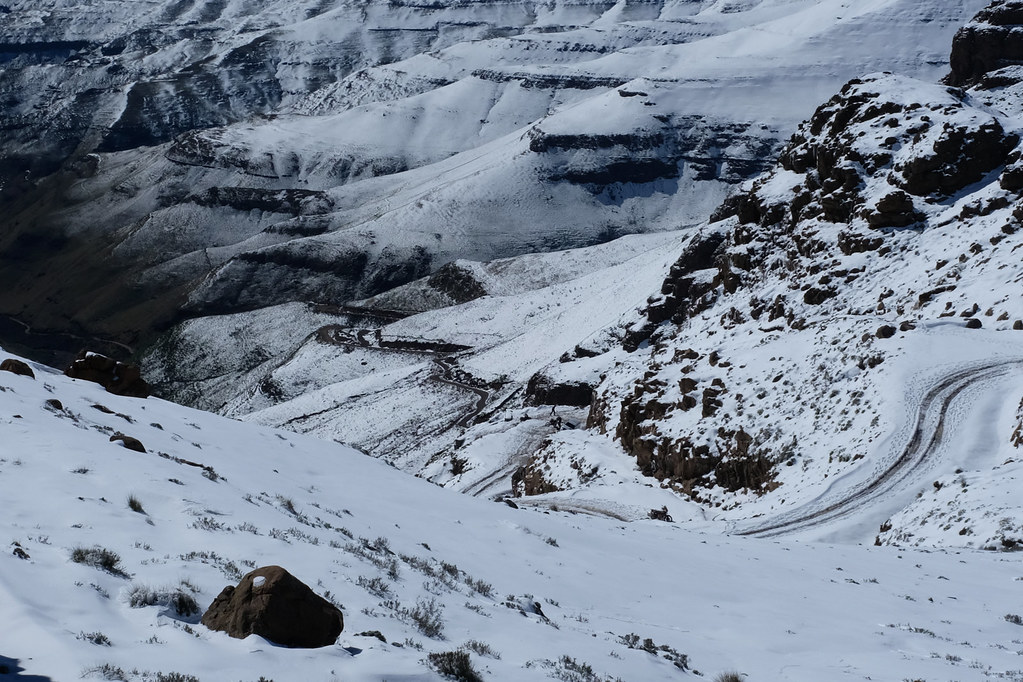
Famous view down the Sani pass from the pub as I'm sure you all recognised:

38560358564_9306643dc0_b.jpg


38560350404_24620aef67_b.jpg


27491738129_9269511dd7_b.jpg


27491723059_14c2b010a0_b.jpg


Time to re-assess my clothing:

24405424297_28216920c3_b.jpg


About lunchtime the snowing stopped, but the temperature if anything tanked even lower fortifying the snow and creating nice layer of ice underneath.

24405334207_49823ac566_b.jpg


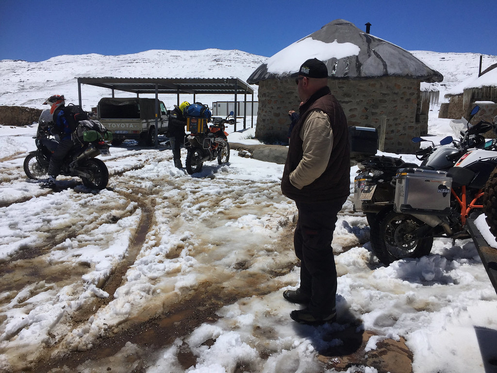
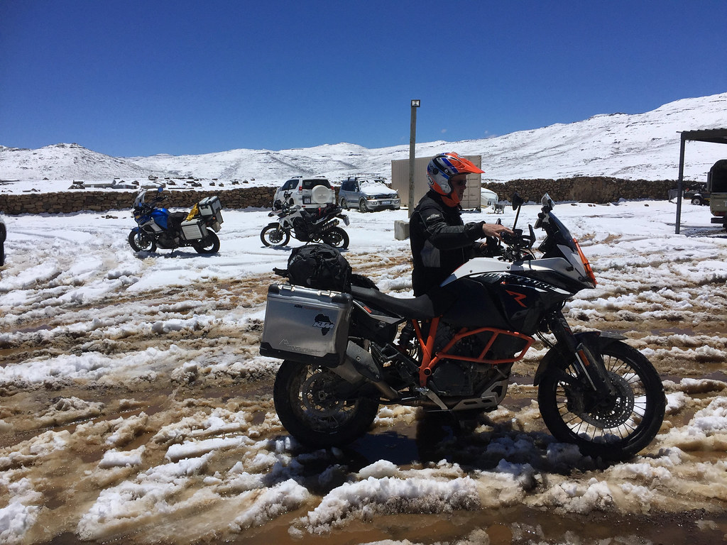
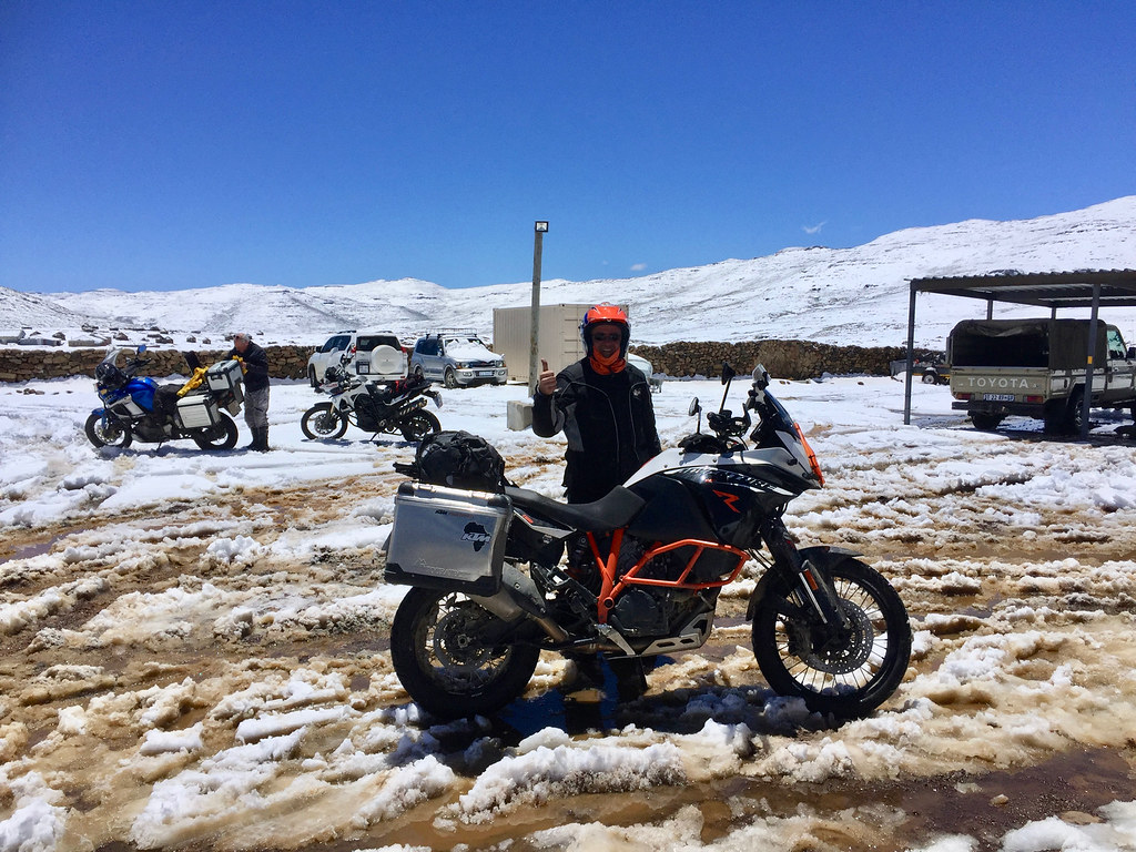
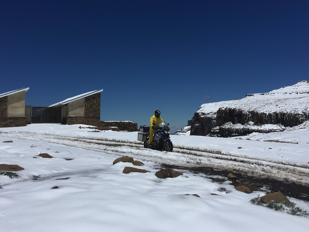
I (and the customs officers who were holed up in the pub) fully expected no traffic that day. To our surprise there were few cars that tried to make it up/down and most of them got stuck and their occupants walked back to stay another night at the lodge. To my bigger surprise, late in the afternoon a group of 5 bikers, including 3 wilddogs made it up  the pass to the lodge. It was led by bud500 on 990, Offroadrider on SuperTen stayed somewhere in the middle and armpump on 1190 was sweeping. Armpump took his role so seriously that he actually left his 1190 half way down the pass (just in case somebody might need recovery vehlicle I'm sure  :peepwall: >:D) and walked up to the lodge. He had to go with the roof veteran in their group to recover it next day once the weather cleared up a bit.


27491690809_55dd246ace_b.jpg


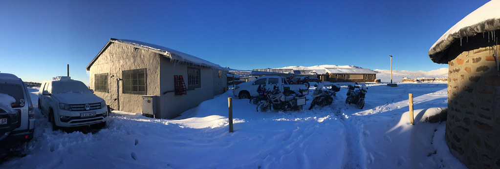
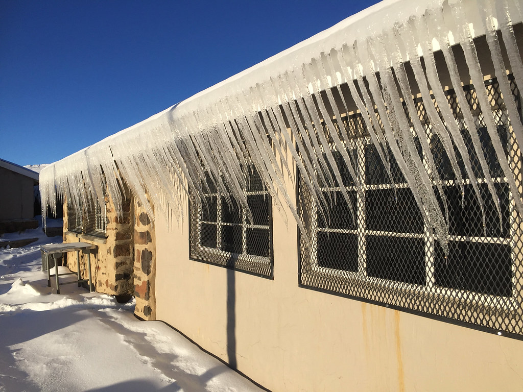
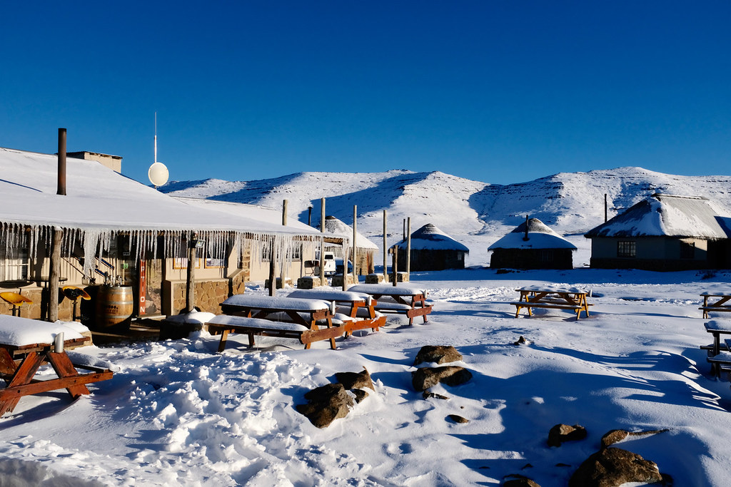
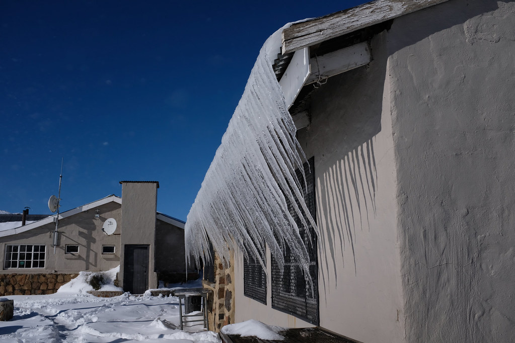
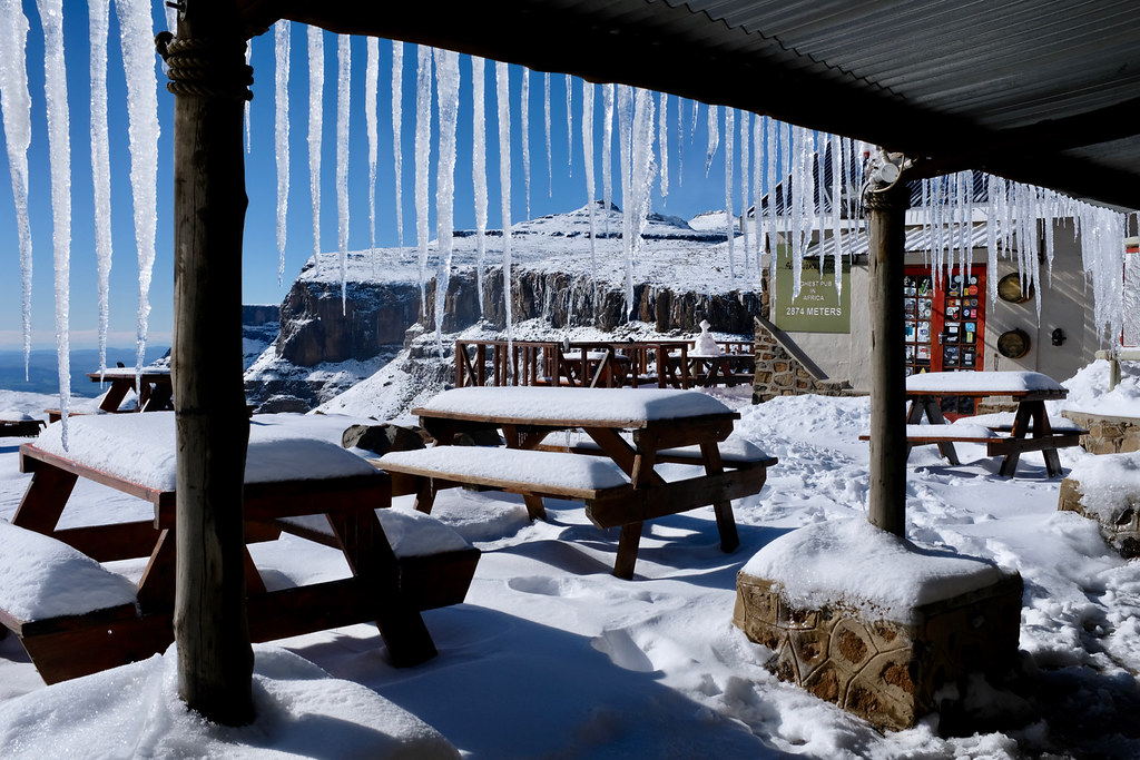
Next morning the ice got even stronger:


24405285277_79eba4ab9e_b.jpg


39267584281_015736c777_b.jpg


38560230394_ff1ca49e4a_b.jpg


27491648869_52cd9c67cf_b.jpg


25400884608_29a745a370_b.jpg


27491618299_95b3f82259_b.jpg


38560188974_56f04063be_b.jpg


39238770192_22b604cbd9_b.jpg


38560127904_8d901c02ee_b.jpg


24405160717_137369f66a_b.jpg


38560123684_fd9c96fe95_b.jpg


27491558349_202a15420f_b.jpg


39238693732_4831e60a29_b.jpg


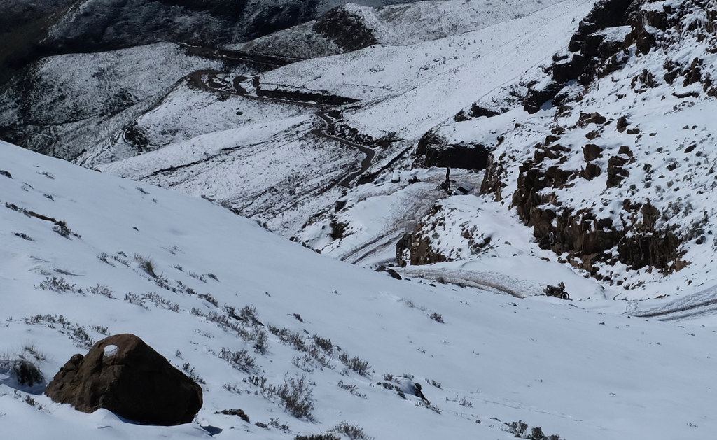
View down the pass with 1190 waiting patiently in bottom right corner:


25400705398_cf0c0b1345_b.jpg


38559990854_2570862065_b.jpg


25400646968_5abf7ebb51_b.jpg


39267359901_f9d0a0a5d4_b.jpg


Here you can see parked 1190, stranded 4x4 and two other bikers on 990 and 690 on a trip from Durban trying to get up the pass - they did make it after a bit of struggle:


39238535382_71750af12e_b.jpg


27491416719_7981ca5436_b.jpg


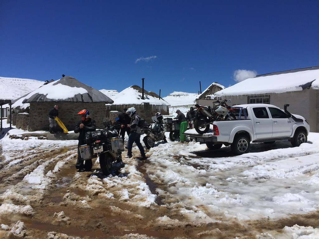
No movement in the parking lot on the day:


24405008617_be849a8693_b.jpg


24404999277_8f3c8b36cb_b.jpg


38390413985_321399a486_b.jpg


It was a Roof weekend and the WD lot were on their way to spectate - now very late of course. They waited until about 11:00 am and then decided to give it a try - the goal being to make it to lodge near Maseru. I told them they have no chance (even without snow), but they are made from much stronger stuff than I am and did make it all the way just as the last sunlight was fading away.

Here, bud500 overlooking departure proceedings:


24404924967_745569264c_b.jpg


armpump going through the pre-flight procedure (I did come to appreciate simplicity of 500 on this trip a lot - stalling those things required often to wait lots of time untile traction control and similar nonsense was disengaged, or in a mode that would actually allow the bike to move):


25400466168_109543ae52_b.jpg


It worked this time (though due to some snafu during 1190 recovery, armpump's helmet was somewhere in a village up the road, so he just pulled out a spare open face one - have to say carrying two helmets is pushing redundancy a bit far even by my standards  ;D):


27491323599_79c9a04f90_b.jpg


25400430058_f2a4582fec_b.jpg


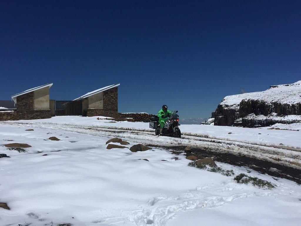
armpump on the way:


38390276055_05204fe2c0_b.jpg


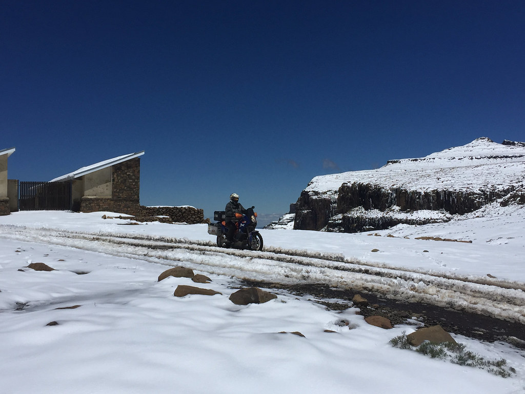
bud500 on the way:

24404854747_3d6c6e8638_b.jpg


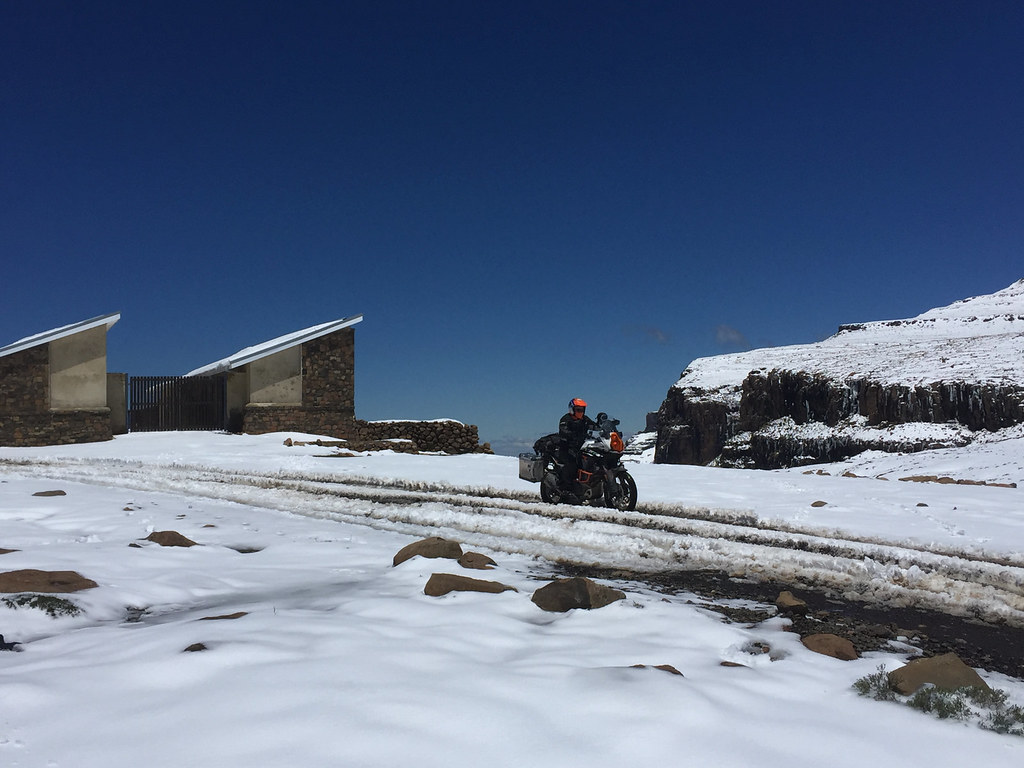
And Offroadrider styling it up:

25400359518_37bf0bcbec_b.jpg


24404836317_3c7e93933f_b.jpg


24404829827_80e4a265d7_b.jpg


Once they were gone I retreated back to my cozy chalet waiting for the snow to melt a bit more before I will head off for tne next leg.


Merry Christmas!
 
Dude,  i love your reports like you cannot believe.
Thanks.
 
It was the most fantastic ride to do up Sani in the snow on a big bike, just as one gets "gatvol" you get your first glimpse of the pub and thats all you need to get you the last bit, think it's going to be a long long time before I have a more rewarding ride.
 
Day 17


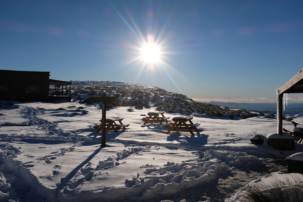
By next morning significant amount of snow melted away, but there was still quite a bit especially up on the hills. It looked questionable if I will be able to ride in the upper reaches where I was heading, but after three days in cabin, I was keen to get out again. So after breakfast I geared up and headed out on tar to the top of the Black Mountain.

The objective was to try to make it to the top of the highest mountain in Southern Africa (and highest mountain in Africa south of Kilimajaro), Thabana Ntlenyana sitting at 3483 meters above sea. It is only 12 km away from the top of Sani pass as the crow flies - but I wasn’t going to fly of course. I have plotted route that followed cattle tracks from the top of the Black Mountain pass (where tar road to Mokhotlong runs), crossing number of passes, valleys and Sehonghong river to eventually get me to the correct mountain range leading to the peak.


27514812949_a6c4c6f5e9_b.jpg


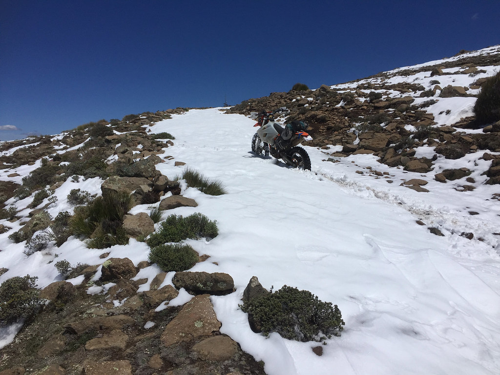
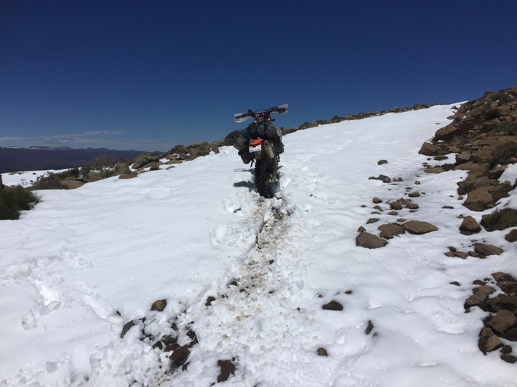
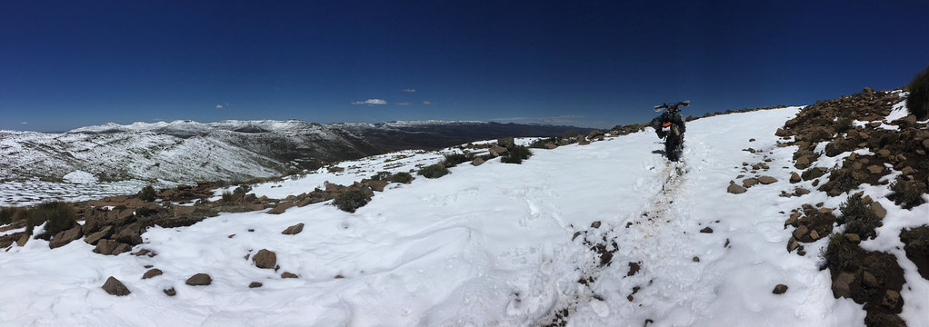
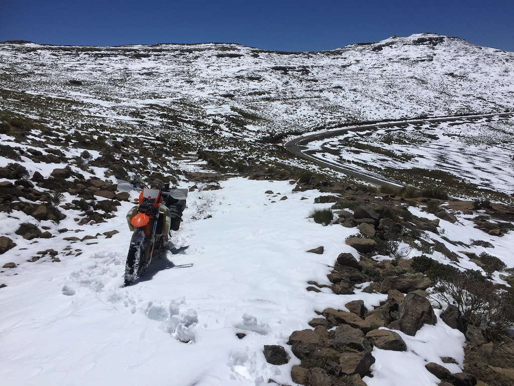
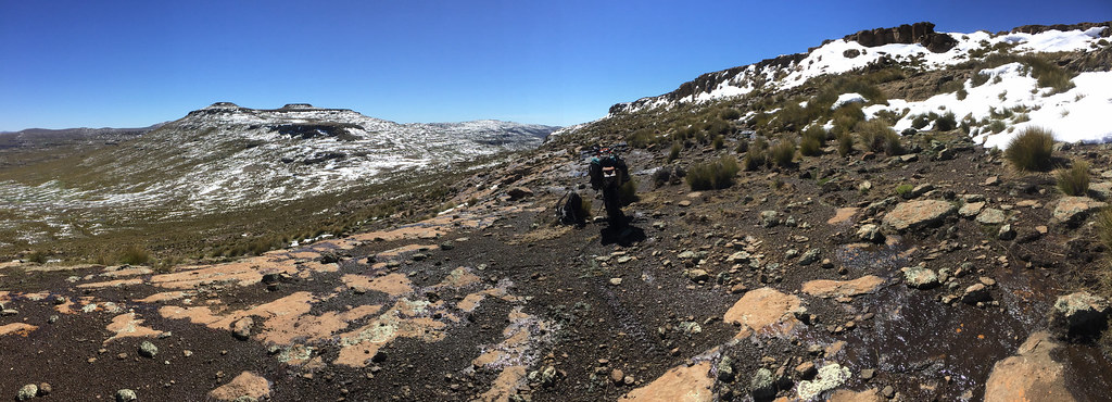
I made it up the pass without incident - there was only one lane cleared of snow at the upper reaches), but I couldn’t get on my track as there was a railing and ditch along the road for as far as I could see. There was also plenty of snow not filling me with excess confidence. I pushed on up the pass until I came to an opening in the railings where I could get on rugger rocky track, so I took it. There was at least 20 - 30 cm of snow covering the track and the loose rocks hidden underneath. It took me 100 meters max to confirm that this is not going to work. Not seeing the rocks underneath, I ended up being thrown all around the place, and whenever I stopped it was huge mission to get going again as I couldn’t get any traction on the rear wheel which usually go stuck on some invisible slipper rocky step.

I also pretty soon realized that the tracks reconnects to the tar about km ahead at the top of the Black Mountain pass - i.e. I was busting my ass for nothing. So after few pictures I turned back and slidden back down to tar.


38390138105_d67865482a_b.jpg


39238249852_fd4bedc408_b.jpg


39238244682_e7c6306af6_b.jpg


25400242198_3705ef504e_b.jpg


38390154575_d9faa5c05f_b.jpg


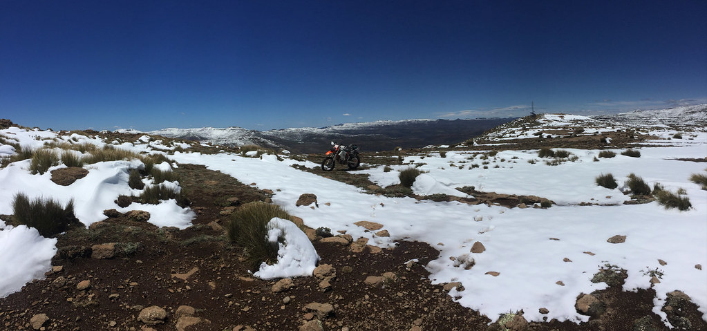
Following tar another km or so up I came to the top of the pass where there was a sign for the Thabana Ntlenyana hiking trail heading right. I took it, passed transmission tower up there, but pretty soon got stuck in the sand again and didn’t feel like getting my leg broken there. It was clear I’m not going anywhere close to the Thabana that day. So I dismounted and walked for km or 2 following what I assumed was the hiking trail to get some idea about what lay ahead. The initial bits I could see looked quite doable - once the snow melts away, so I decided to try again next day.


39238197842_de5195d52d_b.jpg


38559625834_b8395bb25c_b.jpg


38390073145_15b99f7b35_b.jpg


I retraced down the pass and since I had more or less whole day to kill I decided to go check initial sections of the next track I wanted to attempt - track heading south to Sehlabathebe along the Drakensberg escarpment. I got this track from IanTheTooth who rode it with his gang few months ago in the opposite direction (documented here: https://wilddog.net.za/forum/index.php?topic=212796.0)


24404683607_52300247a0_b.jpg


25400177188_1d750f1aa8_b.jpg


39266991931_725920e5b2_b.jpg


38390026155_a2d92c68a2_b.jpg


27491049899_09120e5e48_b.jpg


24404611647_357860f5bc_b.jpg


25400108018_bb5639d0ef_b.jpg


25400066508_9f816e4051_b.jpg


39238018842_9977fc2b6f_b.jpg


39266853581_79a96480de_b.jpg


After km or 3 I came upon fast flowing river and not keen to get wet, I just turned back and headed back to the Sani Pass lodge.

I have spent rest of the day mostly holed up in my chalet as the place was overrun by huge Saturday crowd that gathered from far away to get a glimpse of the snow. Luckily, most of them just drove up the pass, took selfie or 1000, had lunch and headed back down. So by afternoon, the place was again back to normal with very few guests staying around for the night. Just the way I like it.


38559319464_c763ea69ce_b.jpg


39237934542_778236a9be_b.jpg


27490876729_303b7411b7_b.jpg


39266820931_aeb72a6423_b.jpg
 
Offroadrider said:
It was the most fantastic ride to do up Sani in the snow on a big bike, just as one gets "gatvol" you get your first glimpse of the pub and thats all you need to get you the last bit, think it's going to be a long long time before I have a more rewarding ride.

Sorry, I see I might have got the wrong Tenere in the picture (they all look the same to me  :peepwall:). I think this was you:


38390256205_6d06cc2ee2_b.jpg


39263201952_15d218b199_b.jpg


38584537074_4b722d25c0_b.jpg


Day 18

Next day almost all the snow on Sani top was gone. There was still some up in the mountains, but significantly less than the day before. So it was a go on the second attempt for Thabana Ntlenyana.

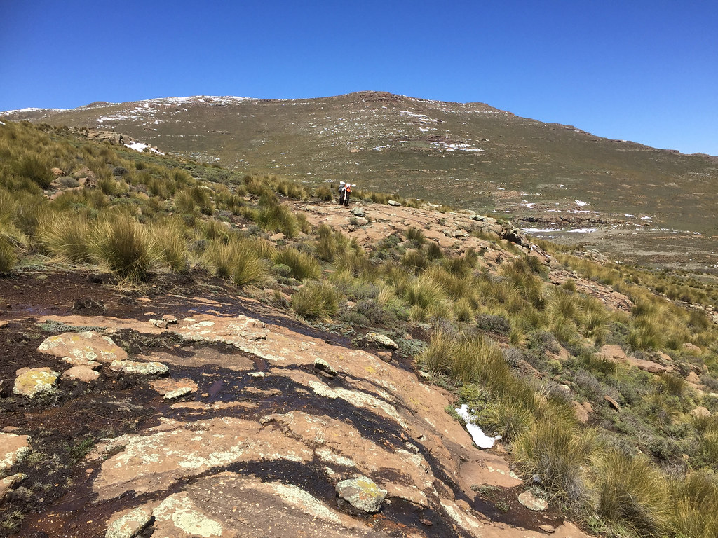
I geared up and headed up the Black Mountain pass, where I turned onto the hiking trail and made it to the first ridge, from which I had to cross valley and climb the next one. This was the place I walked to day before and considered it pretty simple - so naturally it turned out to be the most difficult part of the whole ride. The path along the ridge I scouted was indeed quite easy, but it ended on top of rocky outcrop with 5 meter drop down. So I had to backtrack and try to find alternative which proved pretty tricky with steep descent across uneven rocky sections.


24418975137_0affe2afb1_b.jpg


38404515885_0ab68114af_b.jpg


39281392421_5d2f34ba24_b.jpg


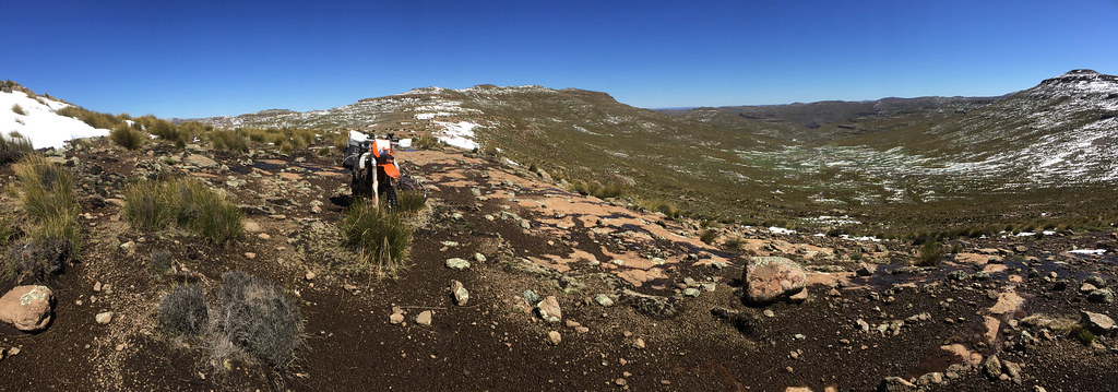
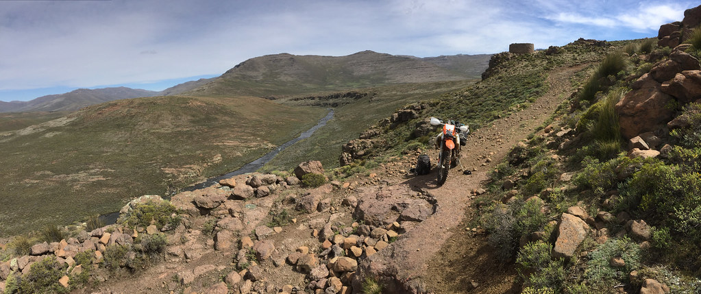
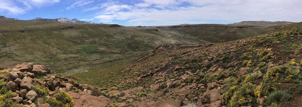
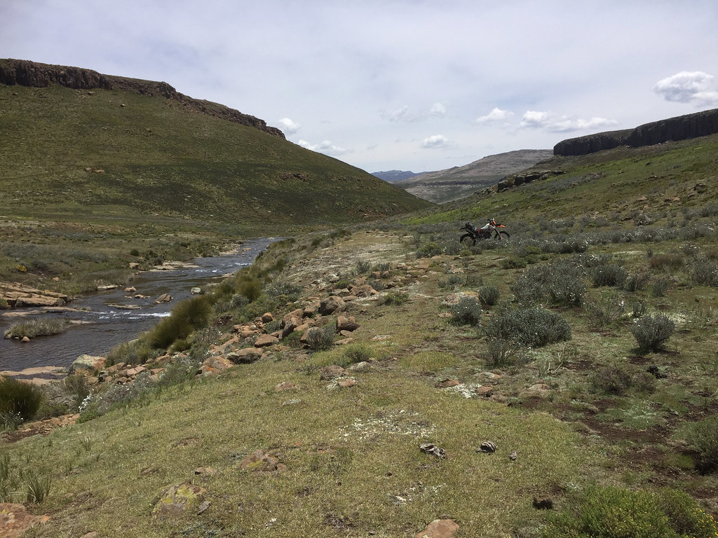
Eventually I’ve made it down the precarious descent and contemplated my next move. By now I’ve learned enough about Lesotho terrain to be able to think a bit on my feet and adjust based on the surrounding terrain instead of just following the track I have plotted at home. The track I had followed rivers along the rivers, which by now I knew is usually the trickiest part with steep off-cambers and rockfalls and stuff. Looking at the surrounding terrain and at the contour map I had in iPhone I decided to take different path that would rather follow high ground on the ridges flanking Sehongkong river on the soutern side all the way to the SA border.

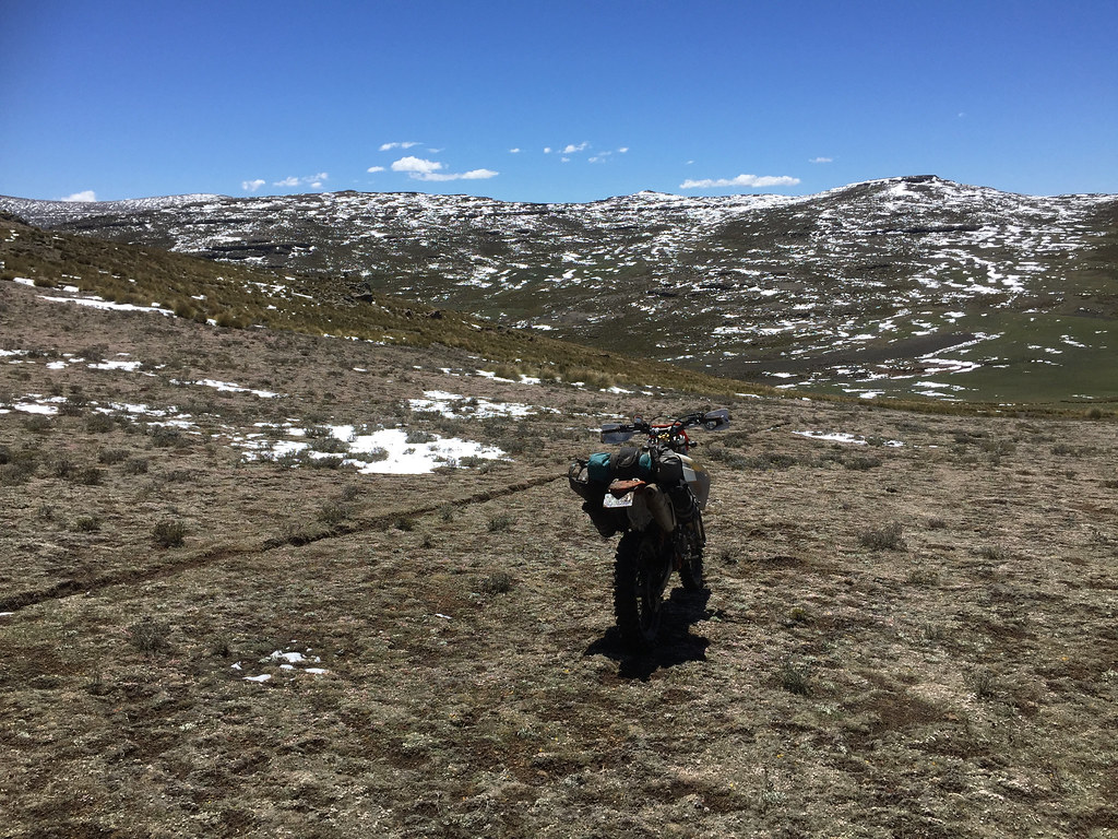
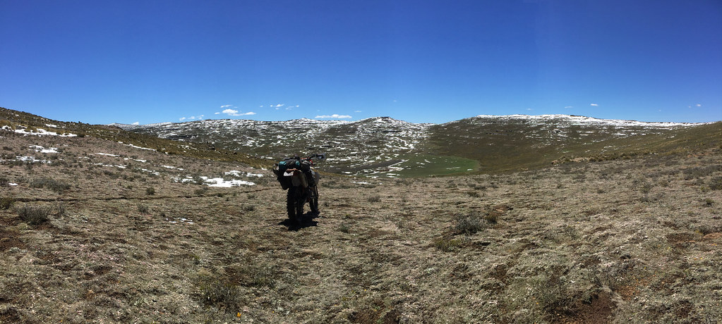
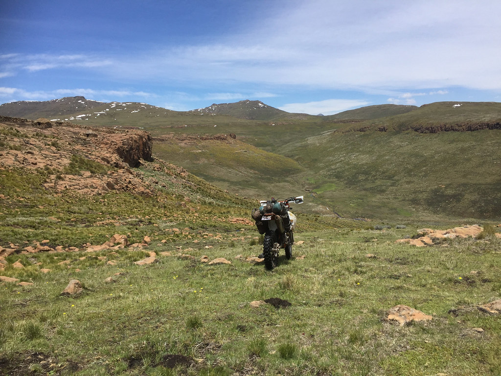
It worked like a charm and I was making good progress. Make no mistake, it was proper Lesotho cross country riding across number of rocky ridges and valleys and I had to backtrack few times to find better line higher up or lower down the slope. Of course by now I was also better at off-cambers, rocks and the resulting confidence also did help. I didn’t stop much as I was keen to keep going while the going was good - my pessimistic central european mind fully expecting a spanner in the works around each corner.


38404488885_7e71017c73_b.jpg


27505554259_76ce8c7333_b.jpg


25414257678_351bbd6eae_b.jpg


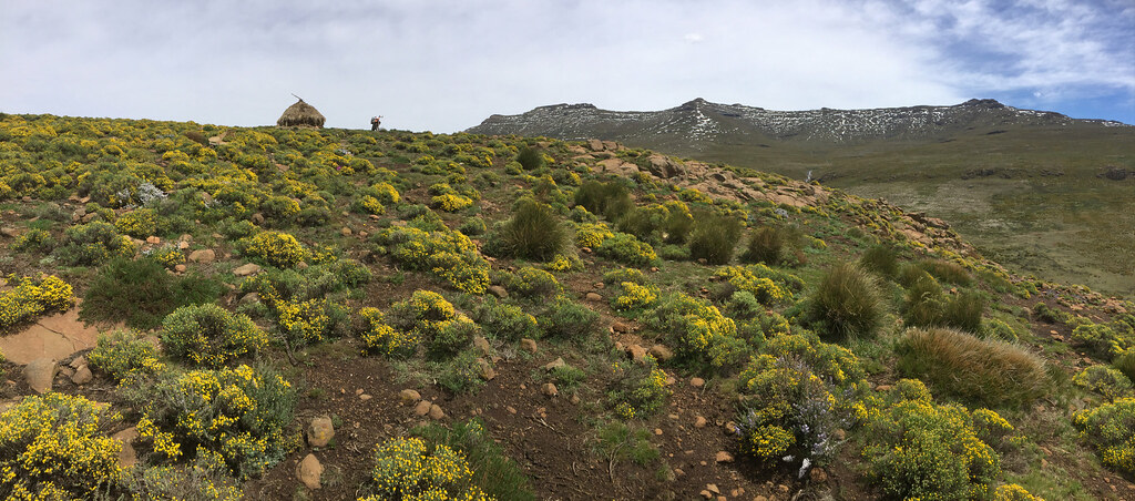
Little kraal above the Sehongkong river. Thabana Ntlenyana is visible on top of the oposite ridge - it is the little nipple to the left of what looks like the highest peak in the centre:


25414241568_ccce537c0b_b.jpg


38573892024_7a75b8e119_b.jpg


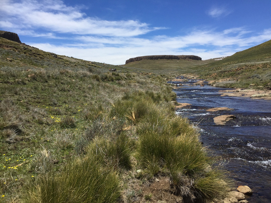
Luckily, no major obstacle come my way and relatively soon (probably 2 - 3 hours into the ride) I came to the easternmost point of the track, where I turned north, crossed Sehongkong river few hundred meters from its source (It was properly flowing even up here due to all the melting snow) and gunned it up the ridge flanking the river from the north, highest point of which was Thabana Ntlenyana few km away.


39252634122_a5d2a73d34_b.jpg


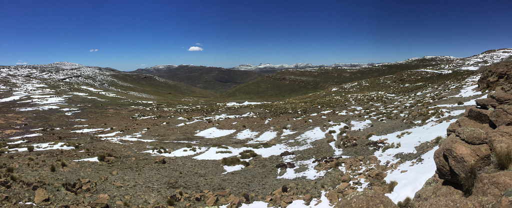
The ascent up the ridge was somewhat steep in places but well within my limits and I made it up the ridge without much drama - only at one place I had to walk the bike up gnarly section for about 5 meters. Top of the ridge above:


24418855827_1039db78d5_b.jpg


38573842164_28fdce0507_b.jpg


38404399035_631c5bb33b_b.jpg


39281180371_5fa2473ab6_b.jpg


39281113161_95cb352228_b.jpg


24418723847_09ed9301cd_b.jpg


27505314449_178cf970d2_b.jpg


39281063141_de8435e42a_b.jpg


The only glitch was when I decided to walk around one outcrop to find if it is doable. Yes, it was and straight ahead of me I could see Thabana Ntlenyana probably 300 - 500 meters of easy riding on top of very wide and shallow ridge ahead. Elated that I’m basically there I turned and almost run down the hill back to get the bike get it done. It took me a while to realize that I went much further down than up and the bike was nowhere to be seen. Perplexed I walked around a bit trying to figure out what is happening, until I realized that in all the elation didn’t actually turned back 180 degrees but only 90 degrees and walked quite far down the ridge towards Sehongkong river. Annoyed I got the right heading, and panting heavily crawled km or two back to the ridge cursing myself profusely.


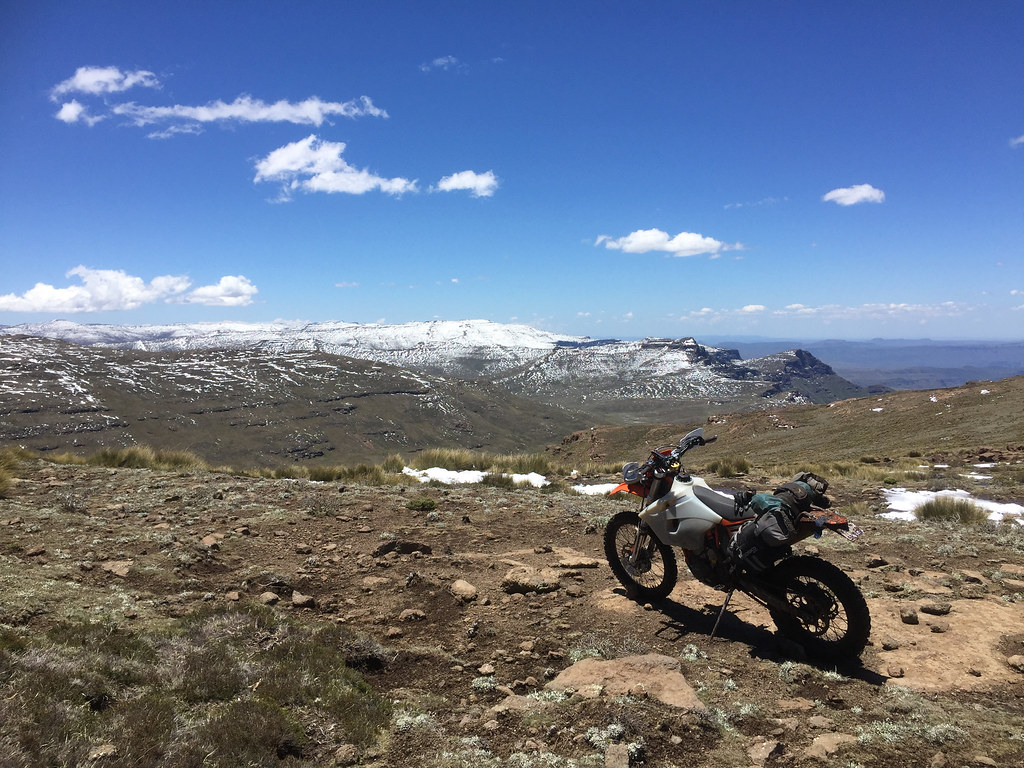
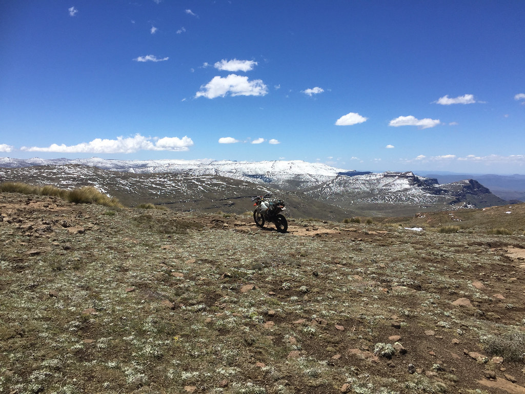
The source of the elation - Thabana Ntlenyana within the reach:


39281054631_5792bd6a95_b.jpg


39252463772_e3a435c82c_b.jpg


39281021891_e25bbef6c0_b.jpg


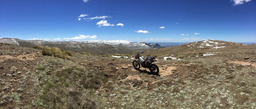
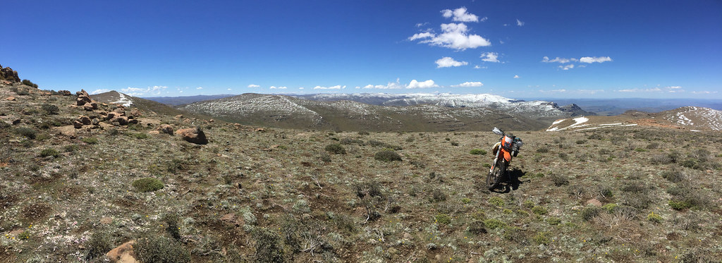
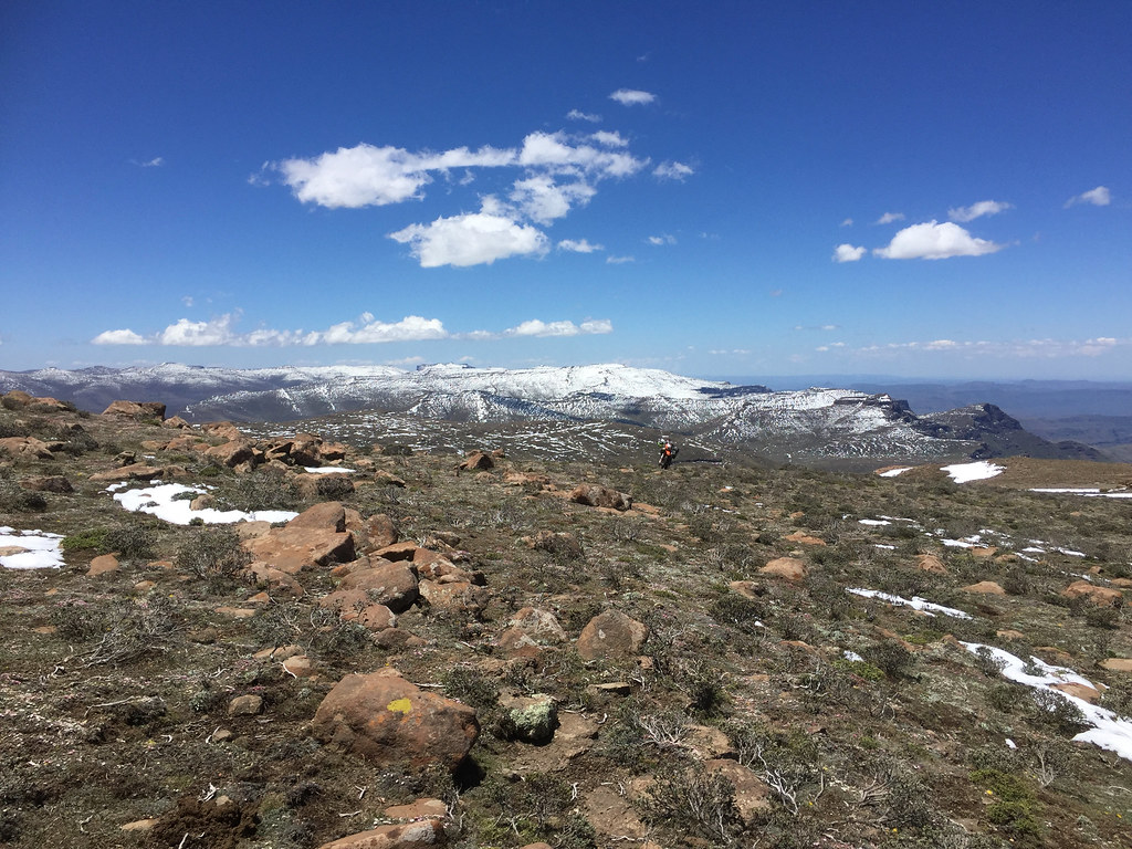
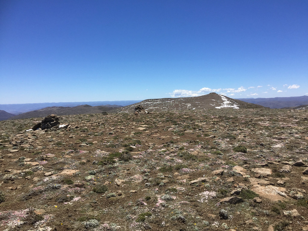
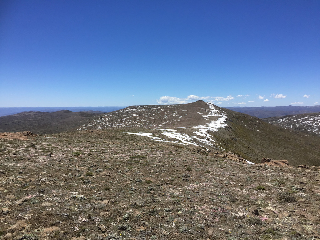
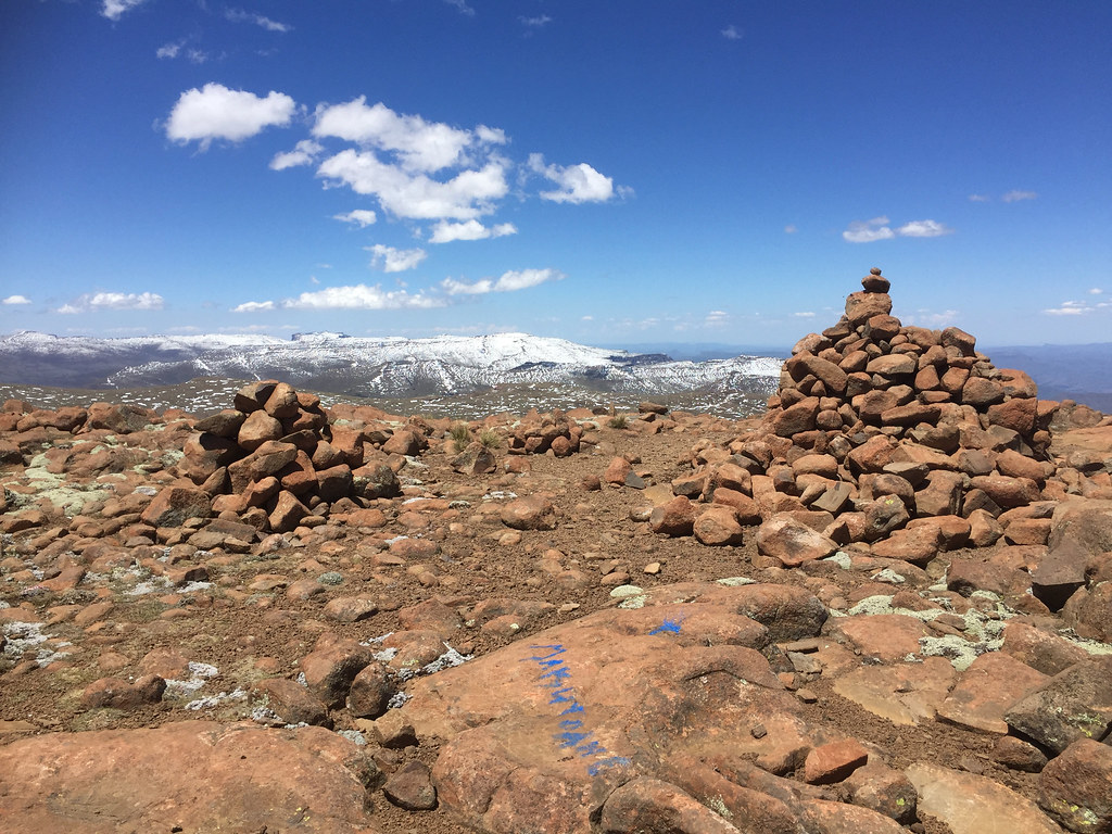
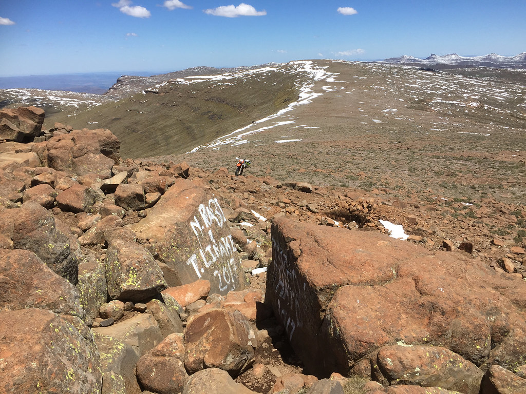
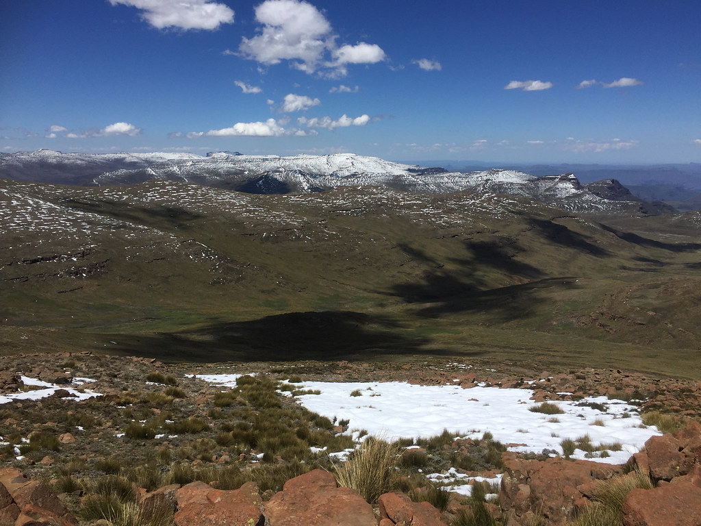
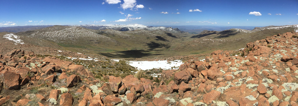
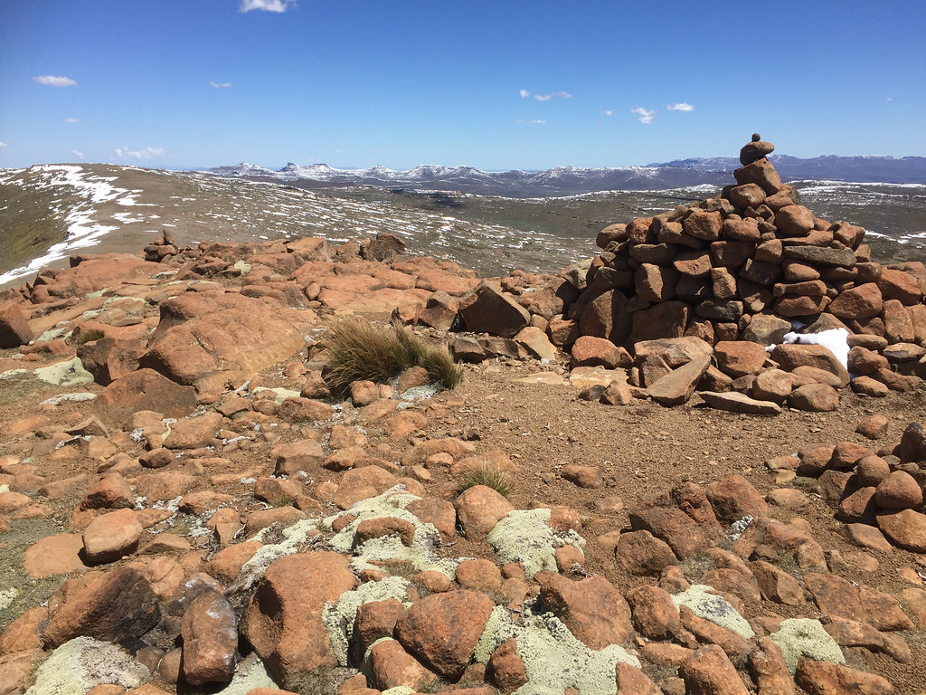
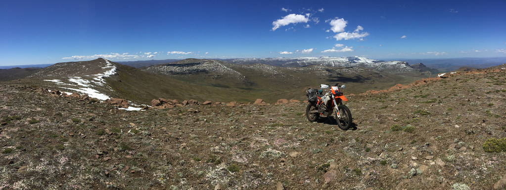
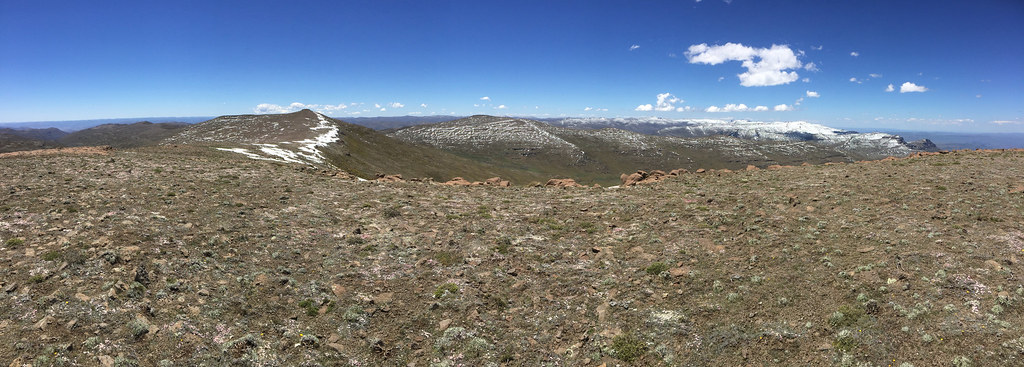
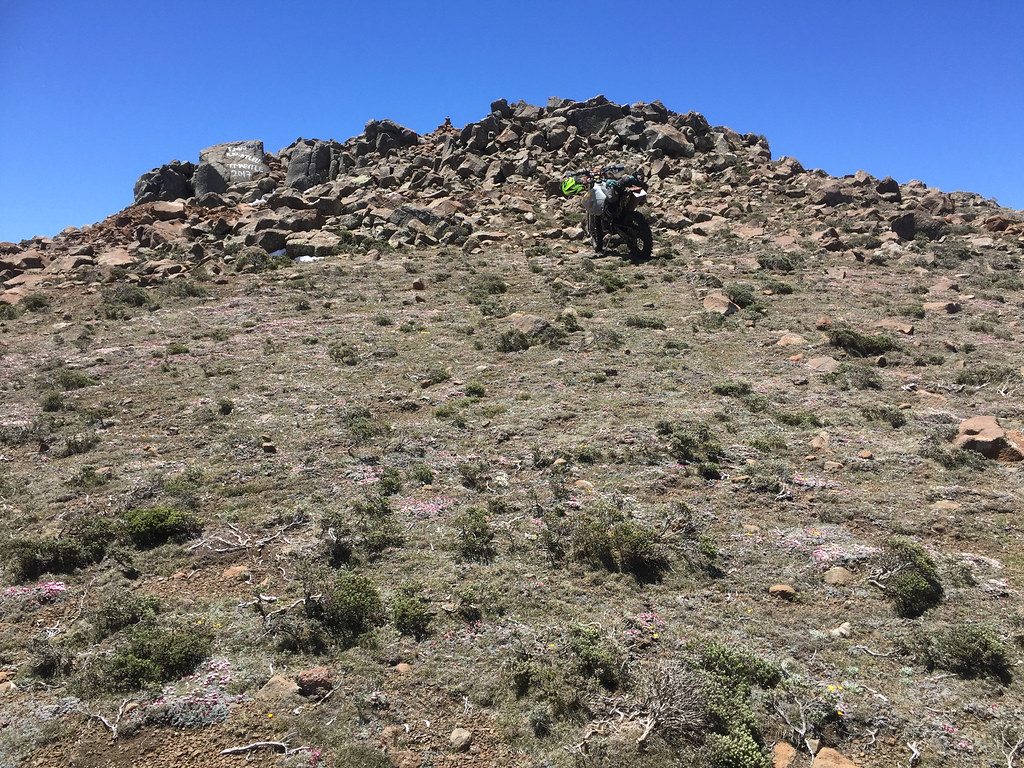
Eventually I found the bike got on it and made it finally to the Thabana Ntlenyana. I have to say for the highest peak in Southern Africa it is pretty unimpressive - basically just a little outcrop/nipple on top of long ridge surrounded on all sides by many other ridges. But I didn’t care - I made it and the views were nice.


39252437542_4b1e9eba77_b.jpg


39252322822_34cfbc5ebc_b.jpg


38404134305_2ac161ded8_b.jpg


27505161779_f2675120b5_b.jpg


39252297792_a9f970001b_b.jpg


27505141119_0a52b9a78f_b.jpg


38573602584_7156974d9f_b.jpg


27505103979_5fac559ab9_b.jpg


38573595794_6cef02ea02_b.jpg


39252225772_12afcd9f38_b.jpg


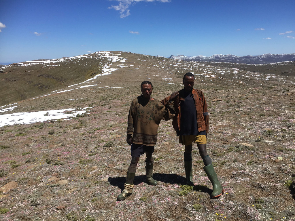
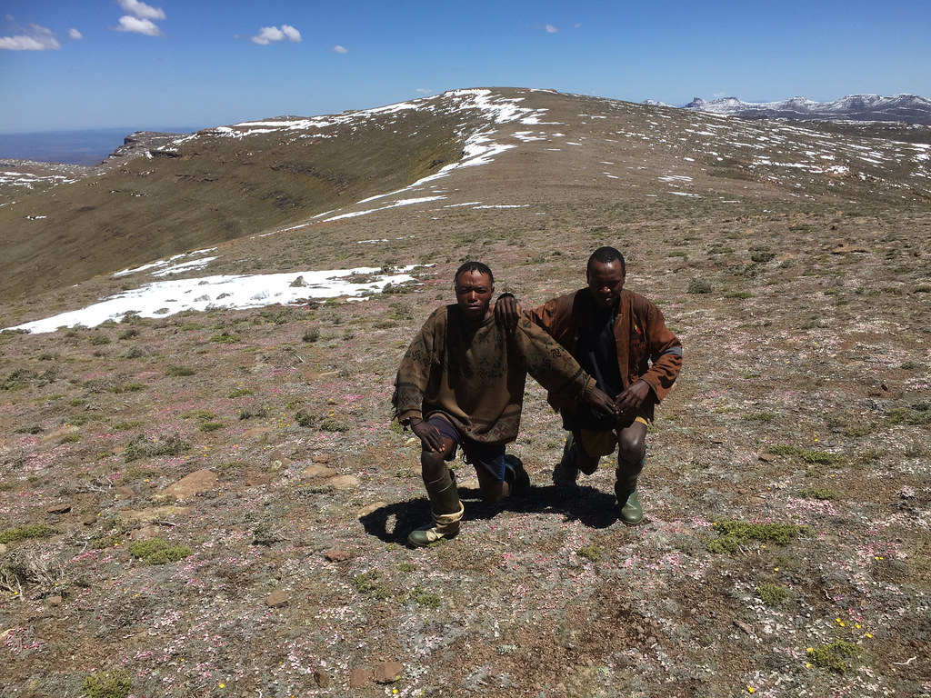
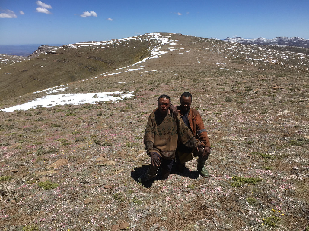
After about 20 - 30 minutes on top taking pictures and resting, I geared up again and headed back the way I came. I could see two figures running towards me from where I came from. They were two herdsmen stuck up there for few weeks I assume. For some reason they were very keen for me to take pictures of them, which of course I did. I also gave them each a lunchbar or something, and pushed on.


39252207432_27f44c6ac7_b.jpg


38404014915_ab4574931e_b.jpg


39280770421_f6b9a5de68_b.jpg


The ride back was uneventful - I just followed the track I came on in GPS, even the last ascent before Black Mountain (the one I struggled on on the way in) didn’t give me much trouble - I just gunned it up and held on fast and 500 did all the work.


27505006249_aaacf4f5bb_b.jpg


25413775348_33bb513971_b.jpg


24418446117_5217e223ab_b.jpg


24418435187_dd14e5908a_b.jpg


Chuffed by the success - this time without supervision -  I cruised down back to Sani top where I arrived in the early afternoon. I’ve spent rest of the day digesting the ride and getting ready for the ride south to Sehlabathebe next day.
 
frankmac said:
Stunning pics, Xpat. As usual, your descriptive reports are a pleasure to read

Thanks Frank  :thumleft:
 
Day 19


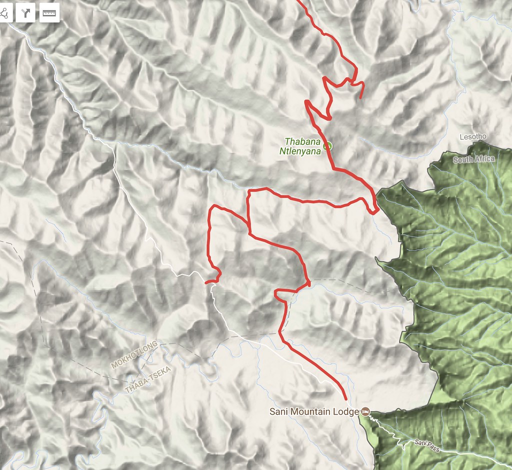
It was Monday and I had to be back in Joburg on Wednesday lunchtime. I have basically run out of time so there was just one more track to attempt. To round up the Drakensberg traverse I was attempting to do since I started in Monantsa, I wanted to follow Drakensberg escarpment from Sani Pass to Sehlabathebe, following the same track that IanTheTooth did with his gang few months back (documented here: https://wilddog.net.za/forum/index.php?topic=212796.0).


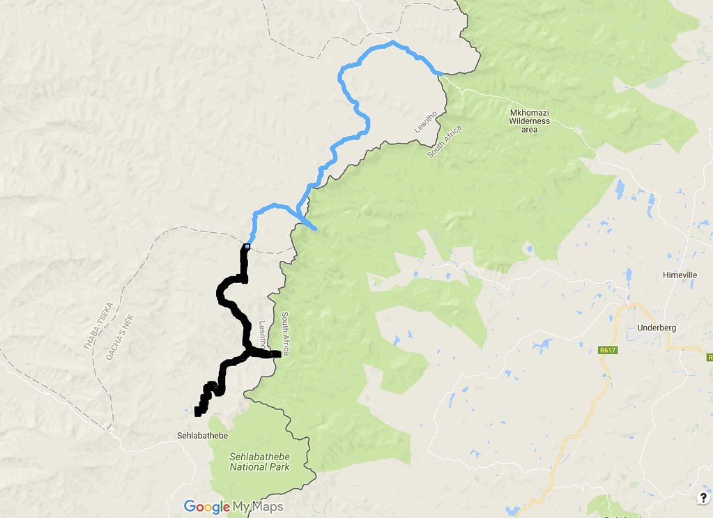
Planned route:

24449760677_d33ca98994_b.jpg


They have done it in the opposite direction in one day, including returning home in SA I believe. I was very much aware that they are in a different league (I suspect most of them have some Roof credentials), but figured I will give it a try and see how it goes - I could always pull my trademark trick and turn tail if things turn too difficult. I had to be back to Sani to fetch my car latest Tuesday afternoon to be able to cross to SA before the border closes so that I can get back to Joburg on time. So ideally I would make it to Sehlabathebe in one day, sleep over, and then I come back to Sani long way around on  the main road through Sehongkong and Mokhotlong. Should I have to sleep out in the mountains, I better be pretty sure that I can make it to Sehlabathebe quickly enough to allow for that return leg.

With that tentative plan in place, I geared up and set-off after breakfast. The track followed tar for few km to the turn off to a lodge (I think it is called Sani Stone lodge, but I may be wrong), where I turned south and hit dirt road heading for the lodge few km away.

Once I passed the lodge, the track deteriorated immediately into very rocky double track that followed that flat plains further south.


39282018652_fa8c091f9f_b.jpg


27533657639_a226b00411_b.jpg


39310373461_ee12f88d73_b.jpg


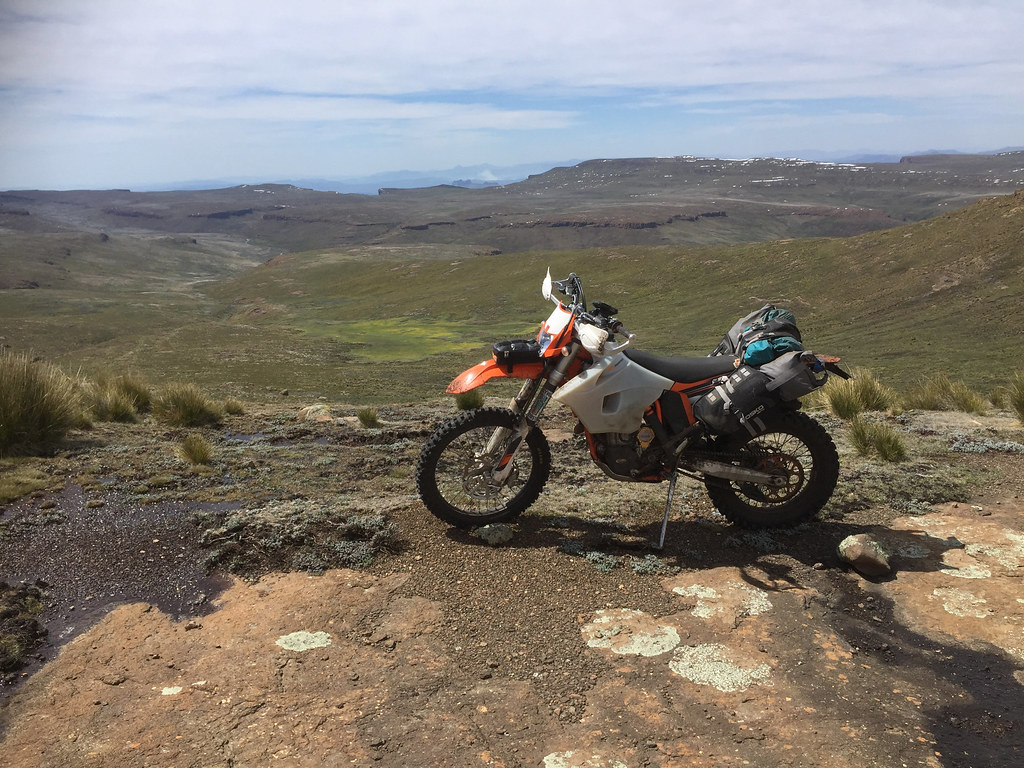
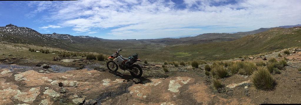
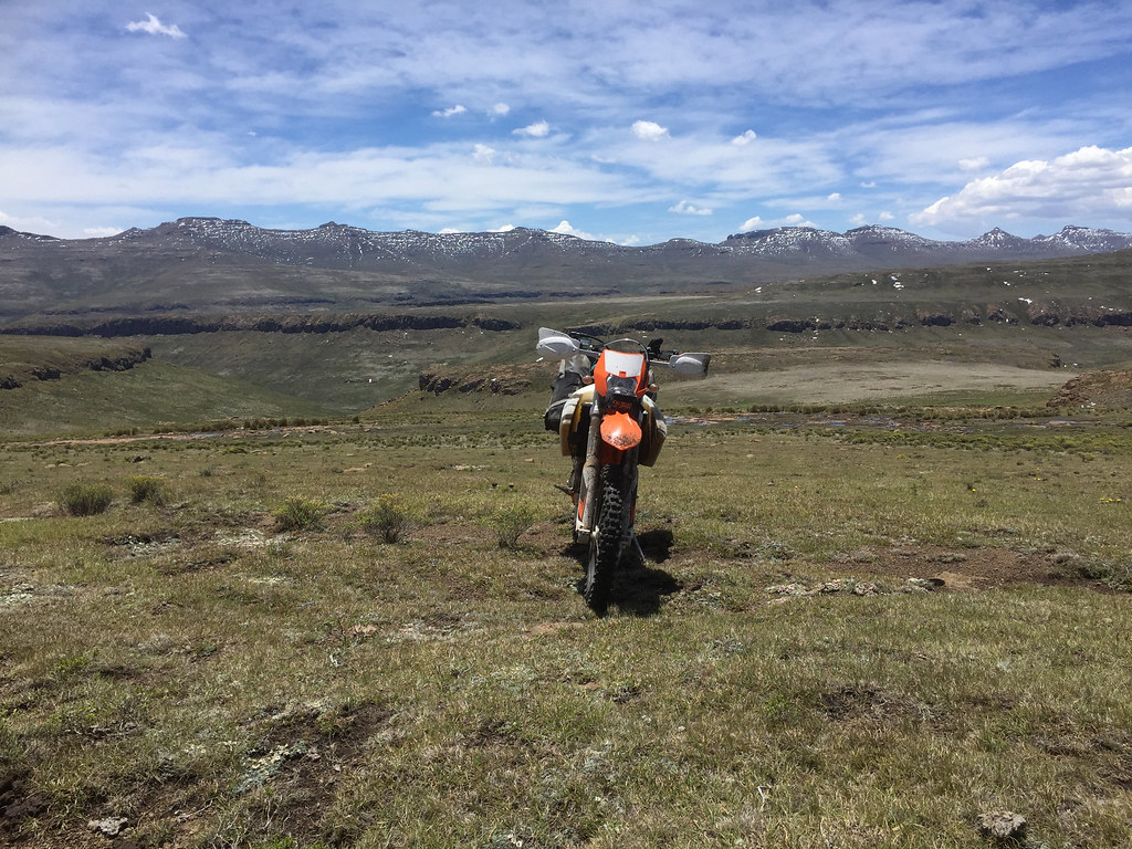
After few km the track turned up the valley heading up to a ridge closer to the SA/Lesotho border. There was still discernible double track, but just. I rode more off the track than on it. The riding was the usual cross-country over rocks and grass knolls, but nothing extreme. I made it to the top of the first ridge without glitch:


25442081888_0b1b701947_b.jpg


27533609959_0870d4578b_b.jpg


39310311351_be753a7014_b.jpg


I continued down the valley and then up the next ridge after crossing a river. The riding was manageable, but the river crossings gave me few hairy moments. I didn’t take and risks and walked the bike, but the streams were flowing strong and the rocks at the bottom were very slippery - even walking without bike one had good chance of going into the drink.


38433703185_0f2cd04c9c_b.jpg


25442009268_7ea5ce90f1_b.jpg


39281894532_befbf5a941_b.jpg


39281865442_b9303b34cd_b.jpg


25441950758_16d55cfe90_b.jpg


25441927578_dc381fbdf6_b.jpg


39310245151_3b6ebfe730_b.jpg


39310231811_d4912476b3_b.jpg


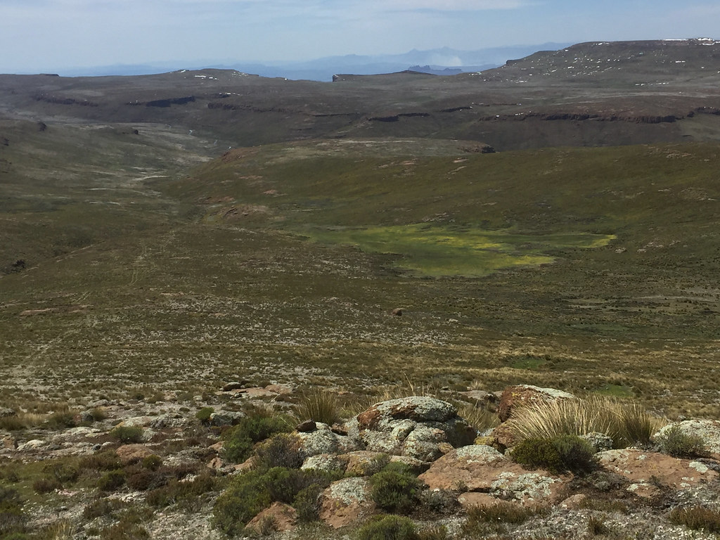
The tracks followed along at some distance along the escarpment south, crossing valleys, ridges, plateaux and one or two more rivers.


24447227907_2cdf793179_b.jpg


39310196591_874a6aa0c3_b.jpg


38433549545_c0564bbd67_b.jpg


27533402679_9d28626802_b.jpg


39281713822_5de9666387_b.jpg


Eventually - just short of half way I came to a ridge that ends in Rhino Peak. Ian warned me about one place in particular - I couldn’t remember which, but had a strong hunch that it was the ascent up on this ridge. So I expected that this is going to be the breakeven point - I either make it and then I’m on my way to Sehlabathebe or not and I’m going back (I have re-read Ian’s report afterwards and realized that actually I already did was actually the easy bit, it was the bits south of Rhino peak that looked tough with plenty of off-camber and such, but I failed miserably on that research before I set-off).


First glimpse of Rhino peak on the left above escarpment:


27533390879_b97574ab77_b.jpg


39281690082_bcc70fb594_b.jpg


38602861884_cfb155e4dd_b.jpg


I made it to the bottom of the ascent going up to the Rhino peak ridge and my confidence plummeted. It was pretty steep  with no obvious line to take. I had GPS track that Ian took, but they went down and it didn’t look too likely I will be able to follow it in reverse.


39281650832_09e454c0f0_b.jpg


38433459065_966c41b887_b.jpg


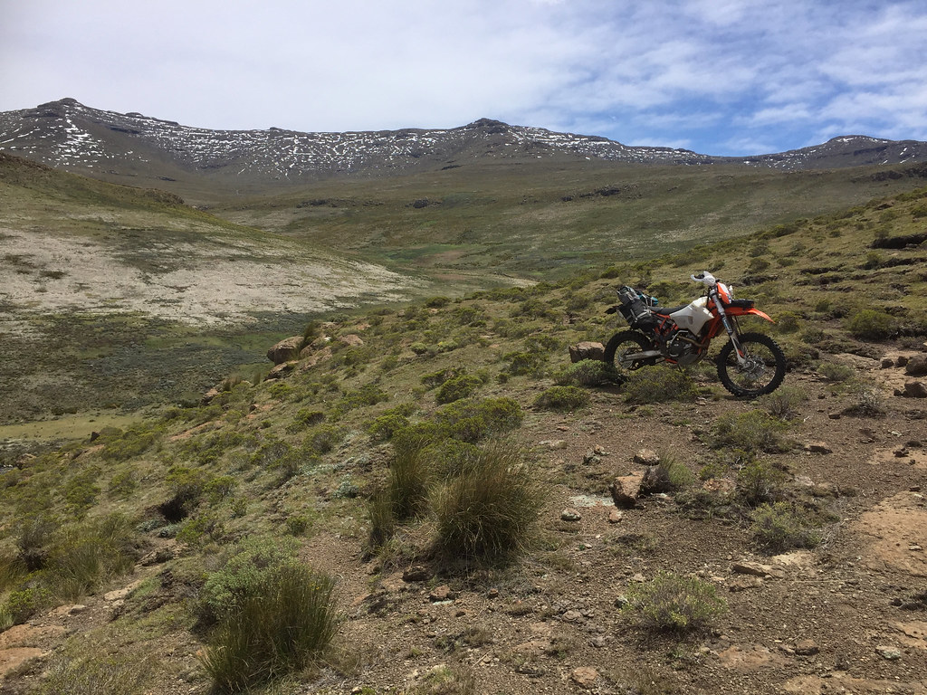
I did what I do best and started looking for an easy alternative. I could see on my contour map that the ridge run inland for many km, but there seemed to be some lower passes further west, on some of which iPhone was even showing herdsman huts on top as well as both sides of the ridge. I argued that herdsmen probably were located there as those were the easier passes to get over and decided to go and check them out.


So I turned right  away from the escarpment and followed the ridge west. Initially I was making good progress boosting my confidence that I may get lucky and find easier way around. Further on the riding got more technical and I wasn’t helping by idiotically riding up high on the slopes just in case an easy pass will come my way. Riding down in the flatter valley would have saved me precious energy and time.


27533297239_24a07d436e_b.jpg


39281610862_a25e2b4598_b.jpg


38433399105_13aec4cb49_b.jpg


39310022801_fd10be941c_b.jpg


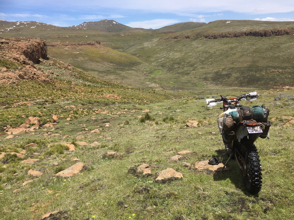
The riding on the slopes was made trickier by dense grass bushes/knolls that made it pretty exhausting. I have eventually made it to that pass I was aiming for and crashed my way over the rocks and grass knolls up to the first set of huts. There was no one there.


25441669278_f0d34ff28e_b.jpg


38602744874_3aa6d3fc13_b.jpg


38602734174_0630a69e81_b.jpg


By now it was about 2 pm and I was getting properly tired. I still had the pass to negotiate - it looked tough, but easier than the original route up next to Rhino and I thought I might have a chance - if I would still have an energy. Which I didn’t. So I stopped for quick bite and drink and then went to investigate on foot possible approaches to the pass. There was no obvious easy way up - I would have to crash my way up the quote steep pass through rocks and those grassy knolls that become my main adversary there. Again, if this would be at the beginning of the day, I might give it a try, but at by now almost 3pm with most of my energy spent, I knew I will have to throw the towel in again.


24446937767_3fc84394b7_b.jpg


38602683694_dc9d140bfe_b.jpg


39281494352_11560b6dec_b.jpg


27533104849_4ef1102994_b.jpg


24446861127_1bf9f18169_b.jpg


Even if I would made it over the ridge, I was not even halfway through and I had no idea what kind of terrains waits further on. And unless it was beautiful dirt road, my chances of making it back to Sani on time next day were nil. On top of it the clouds were closing in and I could hear thunder.

So I did what I had to do, turned back and retraced back to Sani. As usually it took me less than half the time I took to get here from Sani, to get back - it is amazing how faster one is even over tricky bits once they have done them already before.


The picnic & turnaround point:


27533036199_908f9c9a76_b.jpg


On the way back:


38602587504_3f78a11fe3_b.jpg


I made it back to Sani at about 6pm, just in time for shower and dinner. I failed again, but didn’t worry about it too much - there will be another day to try and now I will know what to expect for the northern half of the track, which gives always gives me great boost in confidence.
 
Yes, "Ian's Gang" are all Roof finishers but you did tackle it the most difficult way possible! Not sure if I'd make it up onto Mashai ridge heading South. Not with a working clutch anyway!
 
Makes total sense to take the "safe" option when riding alone................ as you say you can always return and try again :)

Ps Some AWESOME pictures again.
 
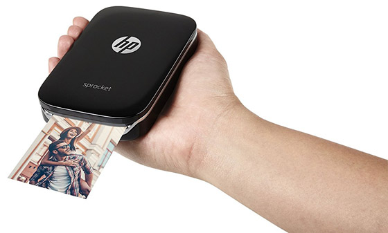
It at times like you had with herd boys that one of these type units would be so handy to have.
iPhone-Photo-Printer-14.jpg


IanTheTooth said:
Yes, "Ian's Gang" are all Roof finishers but you did tackle it the most difficult way possible! Not sure if I'd make it up onto Mashai ridge heading South. Not with a working clutch anyway!
Thanks Ian. I will try again - but I think this time from the South, as the fact that I already know the northern part should give me some mental boost.

I was amazed how much punishment the clutch on 500 took without complaint. I basically compensated for my lack of skill by clutching my way through most of the Lesotho and actually ordered new one from Runner half way through as I fully expected it to be done by the end of this trip and I had another trip coming up. I got the new clutch, but when they checked the current one, they said it is perfectly fine, and the bike did another 2500 km mostly in Botswana sand around Okavango since and the clutch is still fine. I'm really impressed with this 500 - I've done 5500 km on it since April (and that included break of 4 months when I was in Europe) and it just processes everything I throw at it with ease.
 
armpump said:
It at times like you had with herd boys that one of these type units would be so handy to have.

iPhone-Photo-Printer-14.jpg

Funnily enough I have been contemplating this (or rather its Fujifilm variant) for a while now as it seems perfect gift for people in remote areas, instead of traditional sweets and smokes. The think is though on this kind of trip one has to go really minimal (and I'm sure Ian will tell me I was carrying too much anyway  :peepwall:), and this is just one more thing to take space (plus you need to carry photographic paper which takes even more space and weights probably more. But I will see if I can squeeze one in for my future trips
 
Conclusion

Next morning I just packed up, drove up through Lesotho to Calednospoort, crossed to SA and drove up to Joburg.

In conclusion I would say this: those of you who read this whole saga have seen that I have failed a lot, with few little successes thrown in. But overall I see this trip as resounding success. For me this trip was a proof of concept - I wanted to see if an average dude like me can do nice loop through Lesotho off the main roads - tar or otherwise. I.e. not one day bashes into mountains from a base looking for the most gnarly terrain in prep for Roof as done usually by enduro crowd on the one hand, and not the typical adv biking one/two day dash across Lesotho on main tar/dirt roads on the other. I was looking for dual sport route that lays somewhere in between - i.e. the easiest but interesting route off the beaten track (or rather cross country) that can take one (with luggage to be able to spent a night or 3 in the mountains as on any other DS trip) from point A to point B, rather than just looping around one base.

And while I didn't achieve what I came for - i.e. ride from Monantsa to Sehlabathebe all the way along the Drakensberg escarpment (or Drakensberg Grand Traverse as it is called by hikers I think), I have managed to ride a lot of the routes I have plotted (even though I left few loose ends in between) and confirmed that with a bit of luck (or rather training) it is perfectly doable (for Roof crowd it is actually easy - the only exception probably may be the initial Monantsa - Afri Ski bit). I will be back to finish off those lose ends - Sani to Sehlabathebe, connecting Orange river source with Mokhotlong and Mokhotlong - Sani route via Thabana Ntlenyana (I have done return trip from Sani and didn't go across to the next valley connecting to Mokhotlong).

And of course, since I now know that it is perfectly possible to do this kind of riding, I'm already looking at some new tracks around Semonkong - but I think Ian and Losper may get there first...

I would like to thank to IanTheTooth and Losper with advice on routes, and to Martin - Afri Ski manager - for dragging me through that Orange river loop.

Thanks to the rest of you for following.


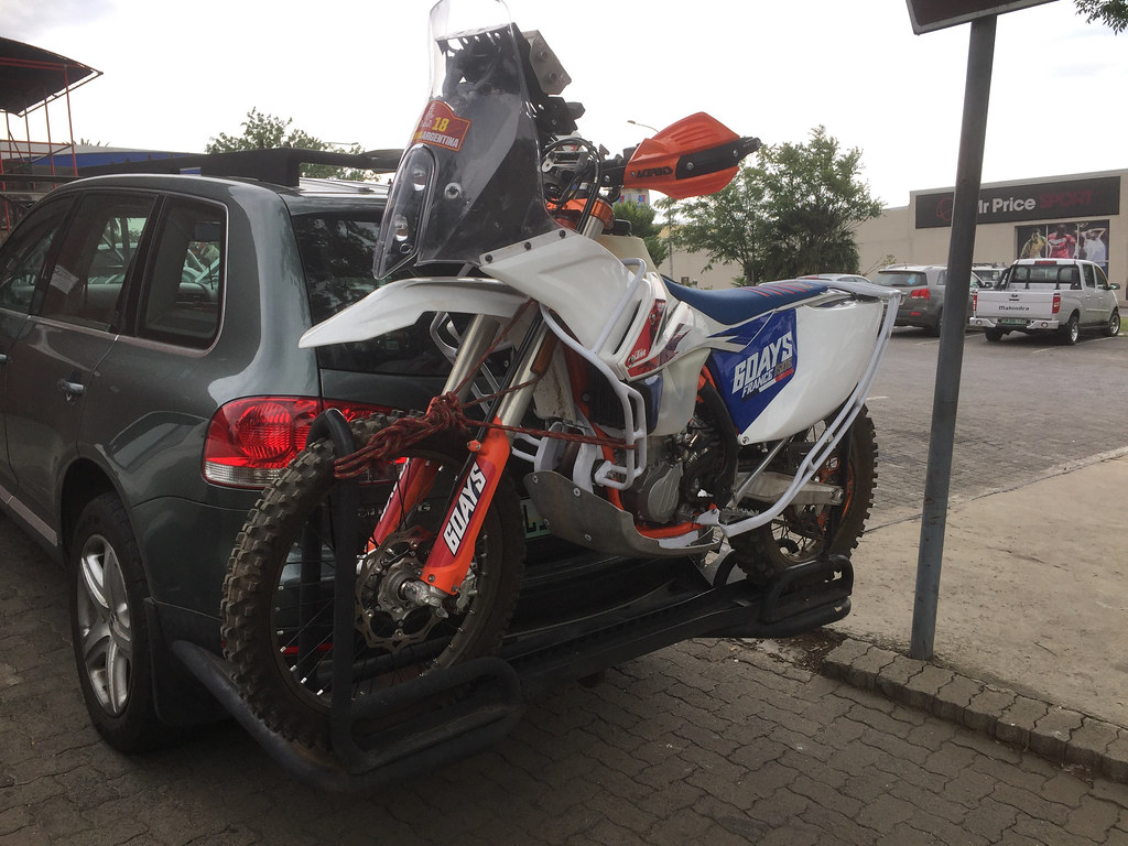
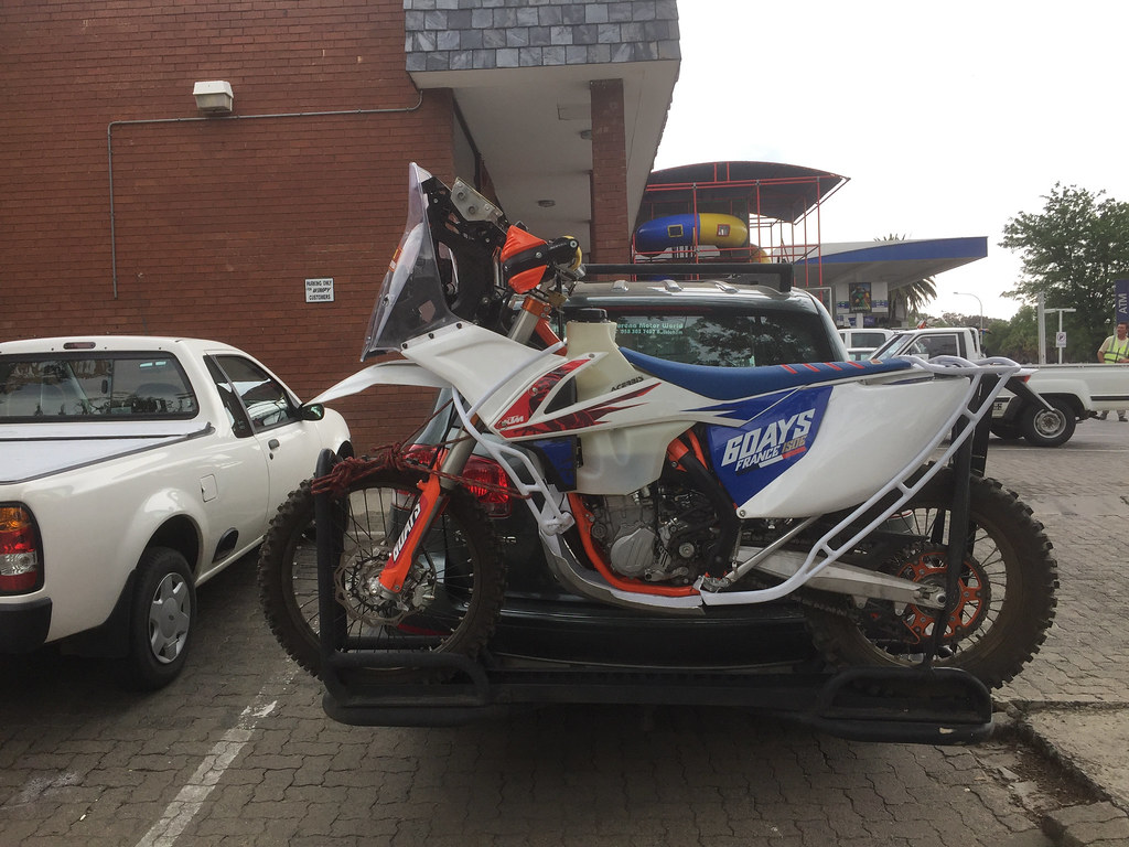
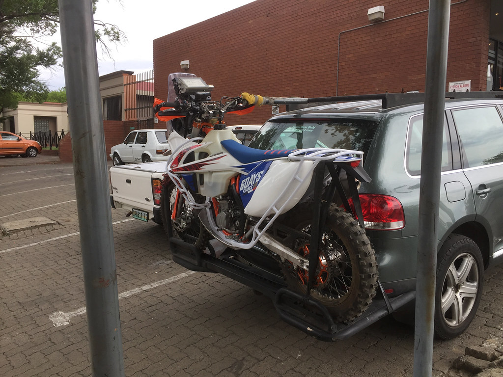
P.S. On the way to Joburg I stopped at Wimpy in Bethlehem and have seen this. Is this real deal - i.e. bike entered for 2018 Dakar per sticker upfront or just decoration?


25441507348_0bbe3b96d3_b.jpg


39281317412_3804780f4d_b.jpg


25441464888_e409929d55_b.jpg

 
Bloody hell ..............that's one way to protect tanks and radiators
 
Top