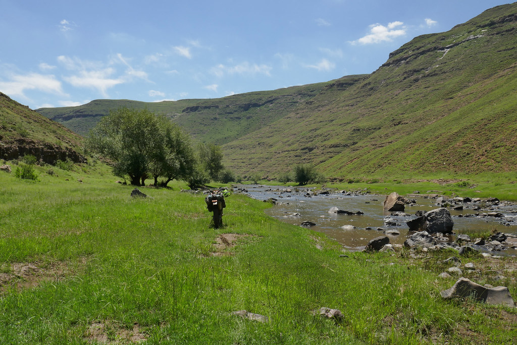
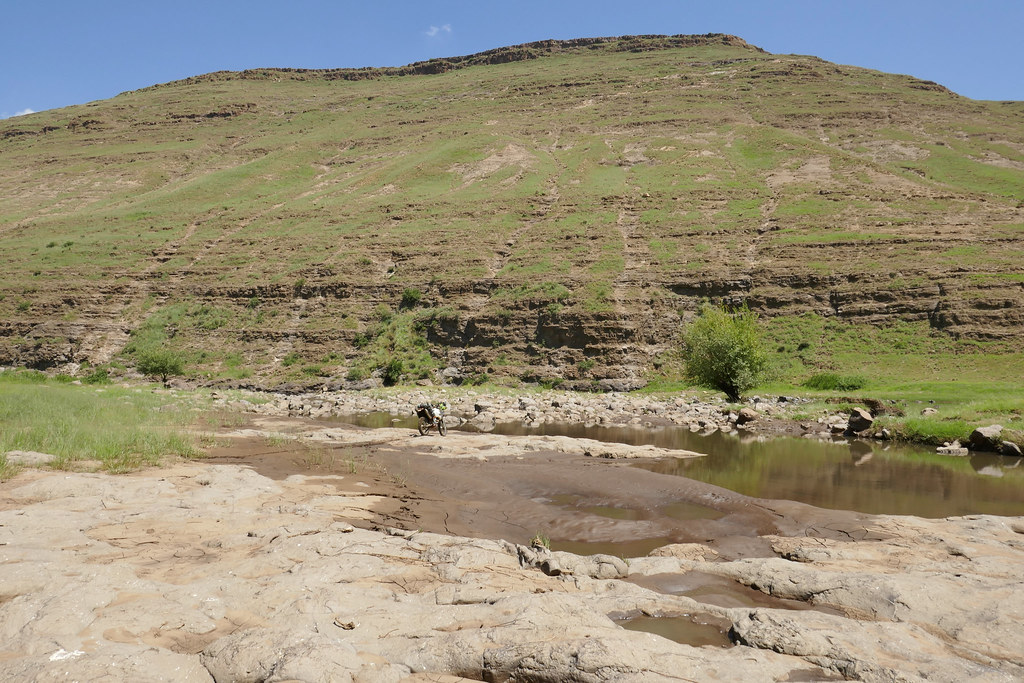
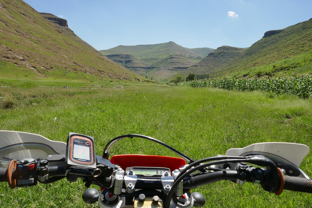
Lesotho Rock'N'Roll

This site may earn a commission from merchant affiliate links, including eBay, Amazon, and others.
Hondsekierie said:
Xpat said:
Hondsekierie said:
Awesome read!  In my eyes you are a true adventurer and very brave man.  Just love it and want to say thanks for all your time and effort to record it here :3some:

(Trying to download the MAPOUT app but it requires a server name. Can't find anything as to what it could be,  Please assist if you can.  Tx)

Thank you  :thumleft:

To what device are you trying to download MapOut to? I don't have it on computer and am not sure it works on one, but I have it on iPhone and iPad (i.e. mobile devices that work differently in terms of applications than computers), where I downloaded it from AppStore as any other application there. I'm not sure it is available for Androids, but would expect it is.
Downloading it to my Sony mobile, Android

Sent from my E6653 using Tapatalk


Hmmm, not sure. On iPhone it worked seamlessly, not familiar with Android. But if it is in the Android store I'm sure there must be a way to download - maybe contact them and ask for help?
 
Xpat said:
Hondsekierie said:
Xpat said:
Hondsekierie said:
Awesome read!  In my eyes you are a true adventurer and very brave man.  Just love it and want to say thanks for all your time and effort to record it here :3some:

(Trying to download the MAPOUT app but it requires a server name. Can't find anything as to what it could be,  Please assist if you can.  Tx)

Thank you  :thumleft:

To what device are you trying to download MapOut to? I don't have it on computer and am not sure it works on one, but I have it on iPhone and iPad (i.e. mobile devices that work differently in terms of applications than computers), where I downloaded it from AppStore as any other application there. I'm not sure it is available for Androids, but would expect it is.
Downloading it to my Sony mobile, Android

Sent from my E6653 using Tapatalk


Hmmm, not sure. On iPhone it worked seamlessly, not familiar with Android. But if it is in the Android store I'm sure there must be a way to download - maybe contact them and ask for help?
Will do, thanks

Sent from my E6653 using Tapatalk

 
Xpat said:
Thank you  :thumleft:

[member=24301]wilfwalk[/member], [member=1308]BiG DoM[/member]: I use Panasonic TZ100  - for this second serving that is. All the prior pictures were from iPhone.

Thanks Xpat, they're pretty darn good ! :thumleft:
 
Xpat, you're a "vasbyter" of note ! Thanks for the amazingly beautiful photos, a real treat. Also for the write-up. Really appreciate your efforts in the Lesotho "wilds" and of course your records of these voyages of discovery. Well done.
 
must admit that this makes me want to go ride!  nice work and kudos for persevering when a lot wouldn't!
 
Another brilliant RR - V2.0!

Thank you for taking the time to put it together for us - one day I want to ride these areas an the pics are a valuable source of info - much appreciated!

CT
 
Day 9


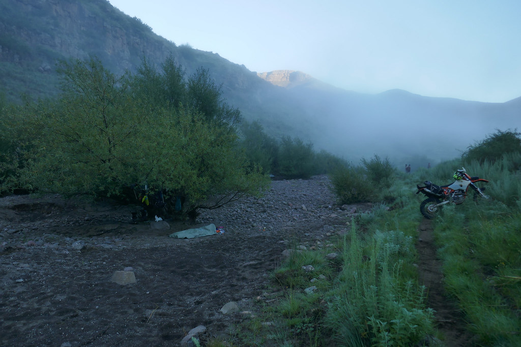
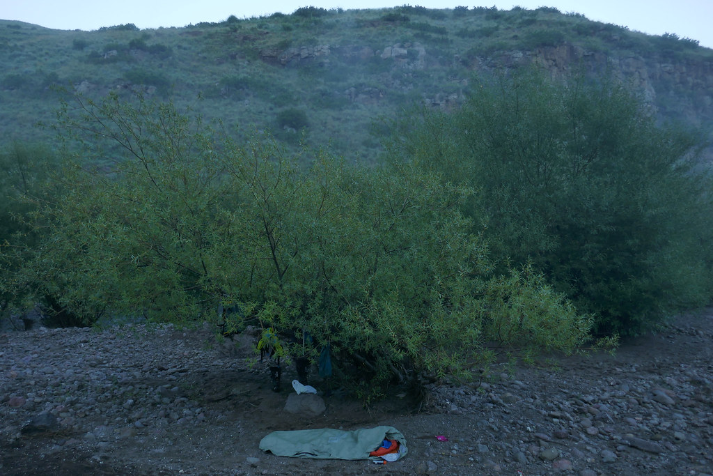
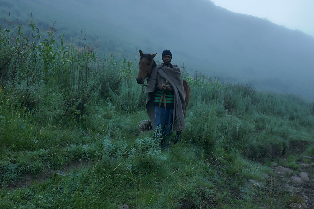
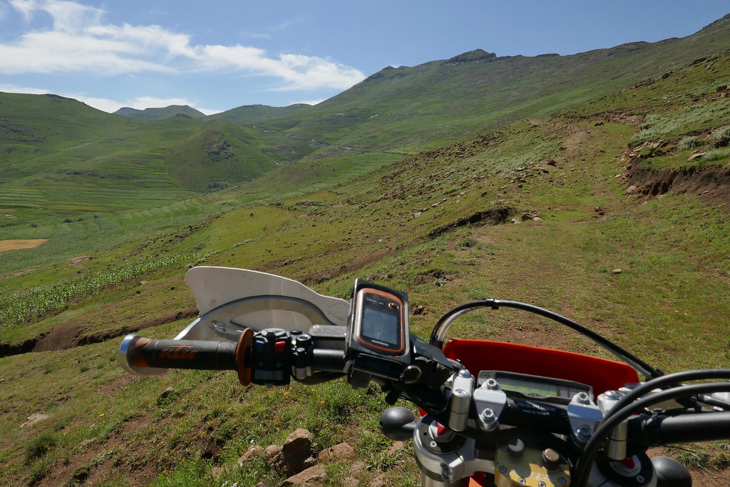
After crappy cold night I woke up early, but then lingered in the sleeping bag waiting for the morning fog to lift. The villagers were on my case, circling around and keen to help me get through the tricky bit that threw me back last night. Which is nice, but the issue was noone spoke any English and I couldn't get any consistent reponse about the route and possible other route I have seen on the MapOut thingy. They all agreed that it is impossible, but then another one showed up who spoke good English and he said that is the best route. Go figure - I had to exercise my best self control, as I'm very cranky in the morning even on the best of days. It was the case where people wanted to be helpfull, but instead were getting in the way. I have dragged my feet, as I waited for my stuff to dry up a bit before setting of. When I did it was almost 10 am, and I decided to try the alternative as I wasn't keen on the washed out uphill section I failed yesterday.

40235798994_938fb0f360_b.jpg


40235812534_01f3b8cfb2_b.jpg


27073118778_2a656fcbb0_b.jpg


The route I choose followed the river and I found out within 50 meters why they said it is not passable, when the rock face on my side dropped straight into the river. However, as my english speaking best friend said, there was a way to drop into the river and follow the bank along the rock face for about 40 meters through mostly shallow water and then the flat section with nice path reappeared. I walked the route first and then took off and made it without glitch. The path on the other side looked much more used and I was elated that I finally made it to the proper road. I was wrong:

40235839674_ac8fb6eca2_b.jpg


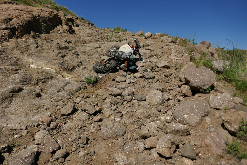
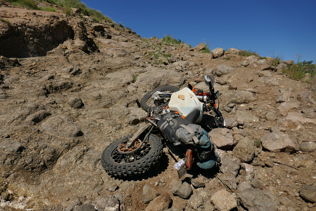
While nominally it looked like a road pretty soon I came upon another badly washed out climb up towards the village higher up where MapOut was indicating that proper yellow road starts. Fresh, I attacked with gusto, but still managed to wipe out spectacularly at one juicy section:


40944224181_56f9d233fc_b.jpg


26071646827_e4956cee75_b.jpg


26071662747_cdae950834_b.jpg


27073188098_5f4f43d294_b.jpg


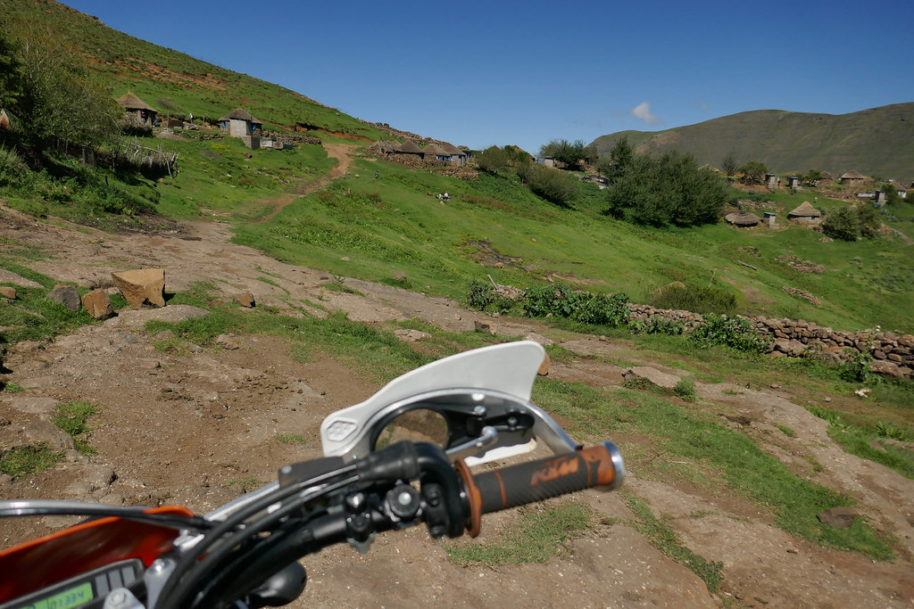
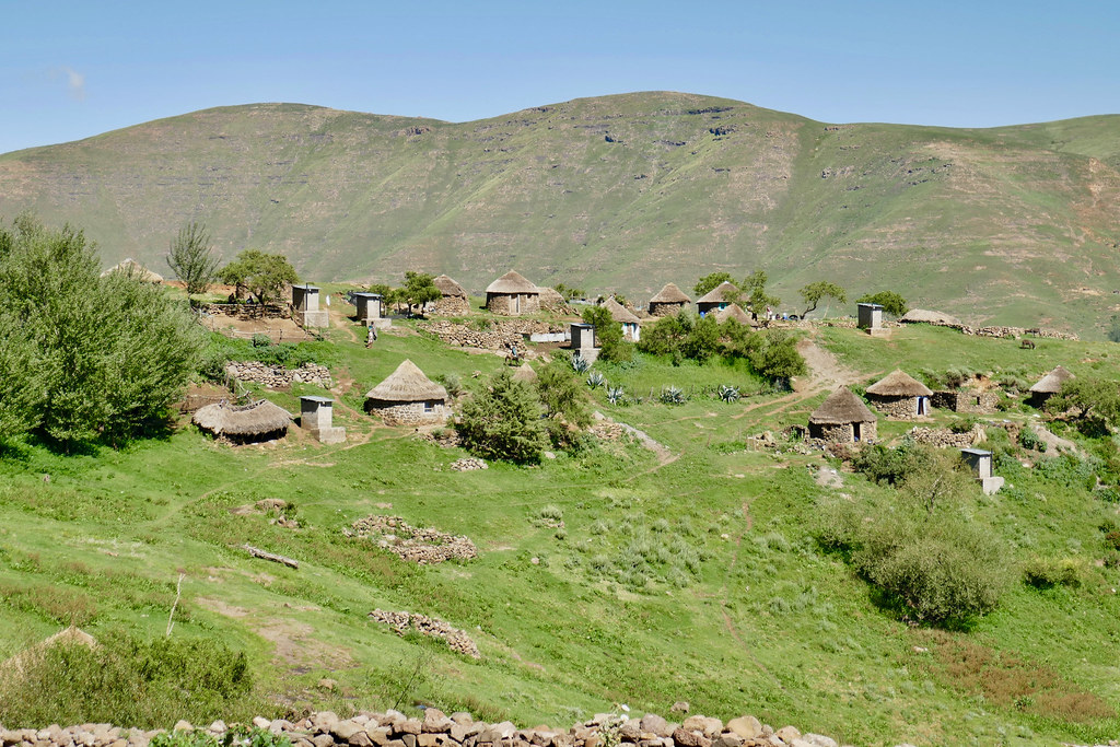
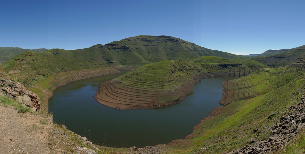
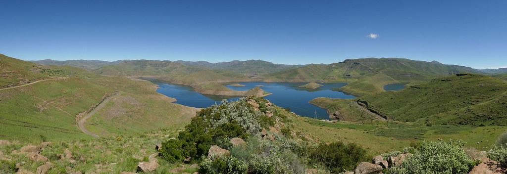
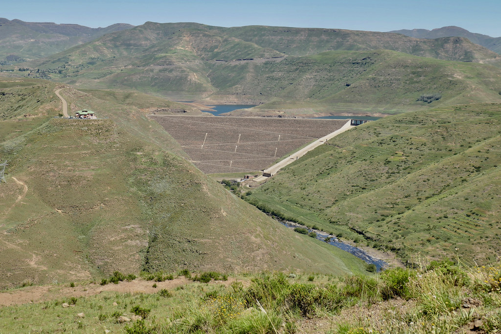
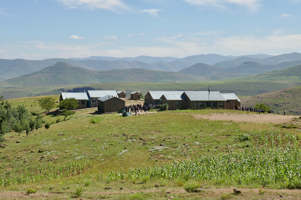
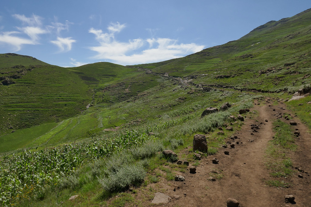
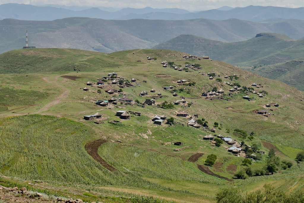
The road did start at the village, but was badly neglected - and apart from the fact that I could see that it was cut into the mountain, almost imperceptible, but I was glad that at least I didn't have to tackle offcamber. After few kms I finally arrived to a proper dirt road and gunned it down remaining 20 or som km to Mohale dam, where I stopped for early lunch at a view point.


39134778240_264544948b_b.jpg


40050125955_6c28d1ce01_b.jpg


39134806410_2a0ed3daf0_b.jpg


After the break I rode to the village underneath the dam in search of petrol. The place Losper indicated as the one to get petrol was burned down, but they had petrol at the shop next to the main road, so I filled up and set-off east towards Thaba Tseka. The original plan was to follow some tracks I plotted along the Senquanyane river, but it was past midday now, so instead I slabbed the next 40 km or so to Mantsonyane, where I turned south east to explore some dirt tracks heading to Thaba Tseka south of the main tar road. The road initially run for 40 or so km south west and was combination of very well maintained dirt and tar section at the steep uphills. It's perfect state was in stark contrast compared to completely neglected road I rode in the morning getting down to Mohale dam.


27073228698_6e49bbe4ce_b.jpg


39134843700_17d5133b3e_b.jpg


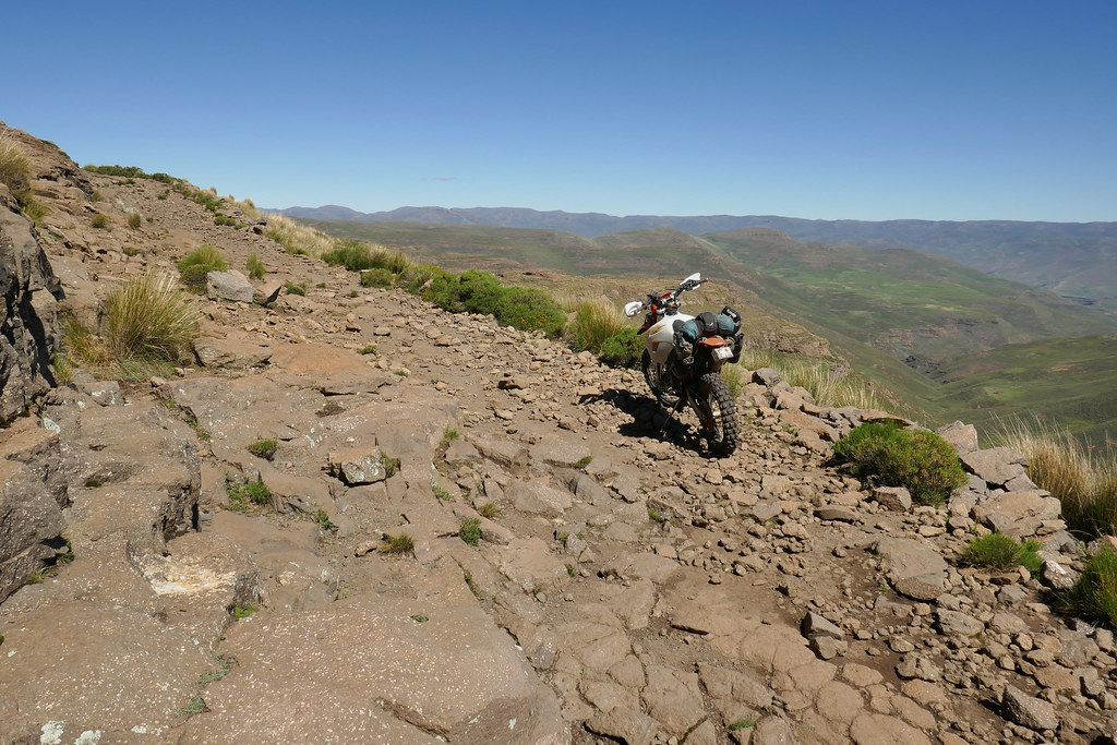
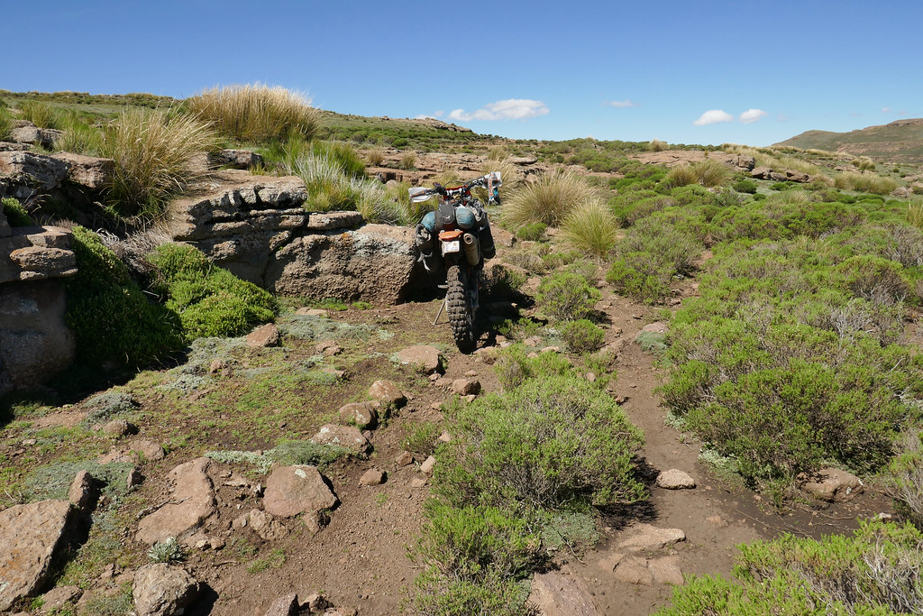
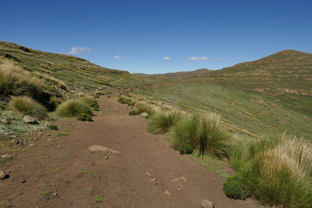
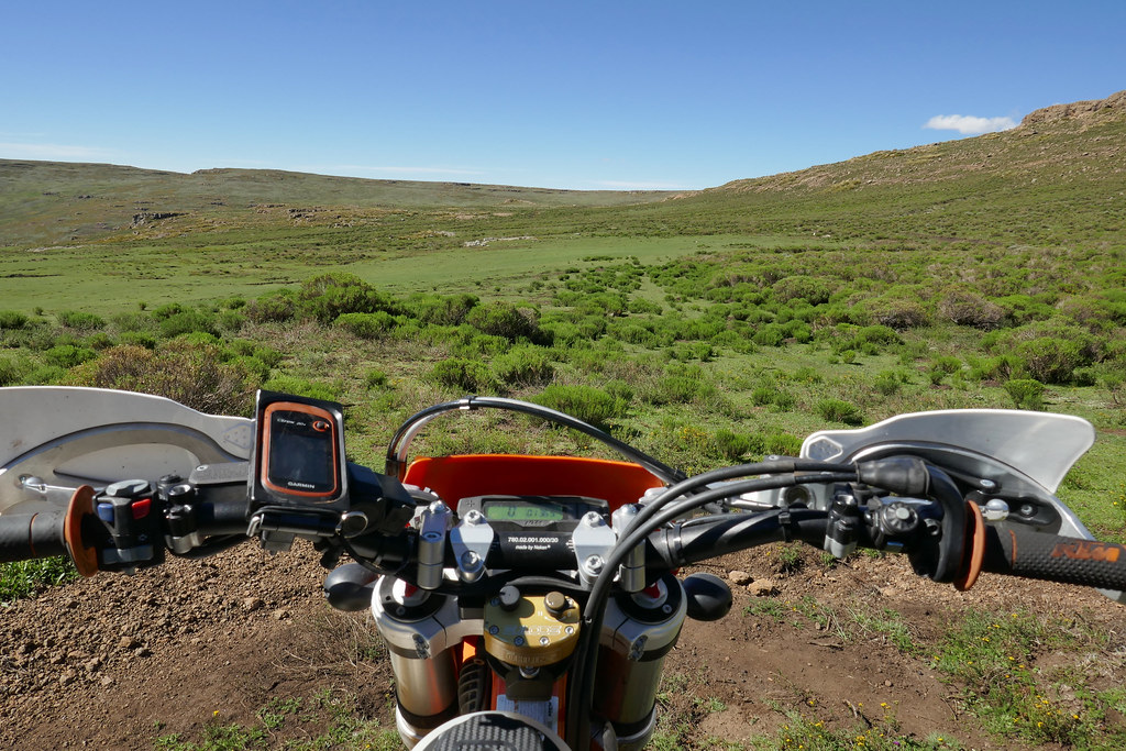
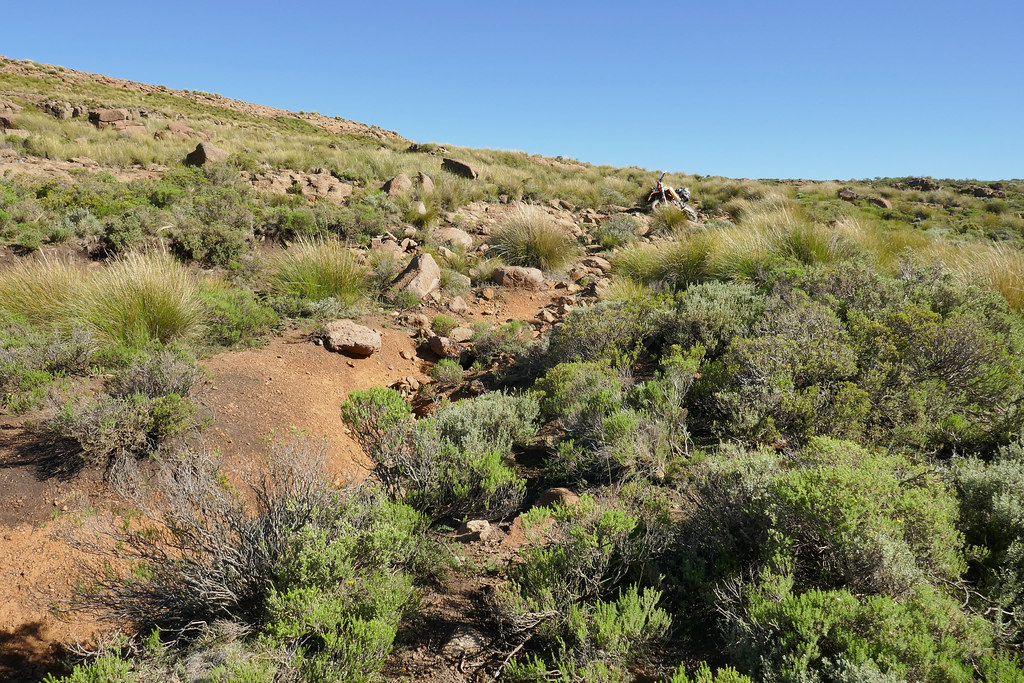
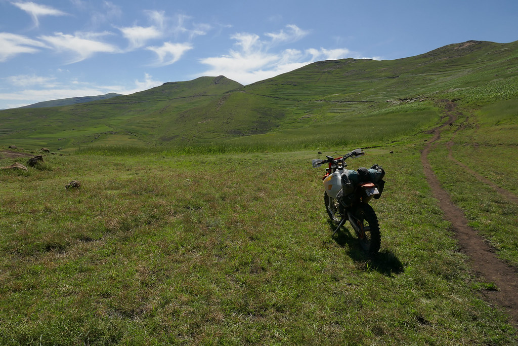
After those 40 or so km I turned north east onto very rocky track running along the tops of the mountains, which I followed for another 40 or so km, until it connected back to A3 near transmission tower about 10 km above Thaba Tseka. The track was pretty gnarly but nothing extremely technical, just very rocky. It was clearly quite used but mostly by foot traffic, even though it was probably build originally for motorised vehicles.


26071761387_d6c04d8952_b.jpg


39134871420_509f79c6f3_b.jpg


40902687072_0df9a08c35_b.jpg


27073299118_9d9b116f68_b.jpg


27073316948_0303e19e89_b.jpg


40236084324_5dde9643f6_b.jpg


40902731422_17882e8b09_b.jpg


I arrived at Thaba Tseka still with plenty of daylight to spare. I filled up at chinese petrol station and headed for my favourite joint there, a bit pathetically named Motherland guesthouse. Unfortunatelly it was full. And so was the next guesthouse on the main road - clearly there was some conference in town and all accommodation seemed to be booked. Eventually I ended up at Buffalo hotel, that clearly wasn't that well connected to the government (who I'm sure financed the conference or whatever the gathering was), as it was almost empty. The fact that they were under reconstruction probably didn't help, but hte biggest drawback wast that they didn'e have restaurant open. In a rare display of initiative though, the receptionist organized that the cooks who were around for some reason will prepare chicken with rice for me and 2 other guests, so all good at the end of the day.

 
[member=24301]wilfwalk[/member] & [member=3626]billy-joe[/member]: Cheers  :thumleft:
 
Bloody excellent stuff. I bet you were a little concerned once having passed that step-off that you were now fully committed. I guess you you rode harder at the challenges after that than you would have otherwise?
 
Day 10

Last day and the plan was to get back to Katse following Malibiamatso river all the way up to the dam. I have failed coming from other side few days back due to fast flowing tributary that I didn't dare to cross, but it hasn't been raining for three days now, so I figured to give it another go.

I set-off after breakfast at the hotel and made my way down to the river on very steep but well maintained dirt road. I crossed the bridge at the bottom of the valley ready to follow the bank and got stopped again by newly errected link fence. Actually there was an opening in the fence for cars which I almost gunned through but luckily I noticed at the last moment a wire hanging across. I stopped and tried to chat to few chaps working there. They didn't speak English, but I established by sign language that following the river is off limits. That was annoying especially in Lesotho, where one can usually ride wherever they want, but nothing I could do about it.


40236108184_d121a51c7e_b.jpg


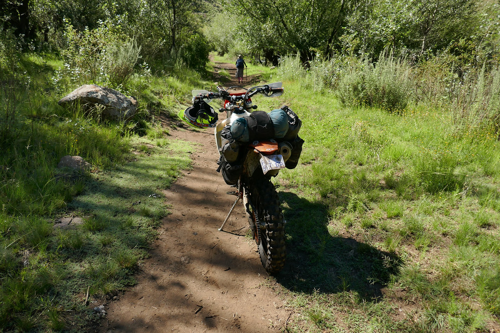
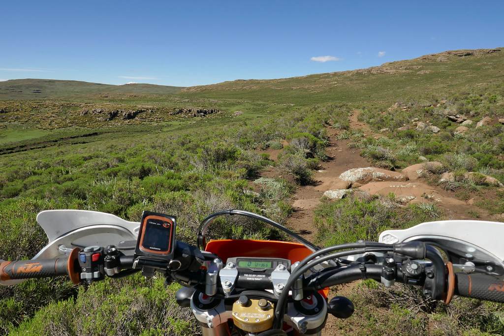
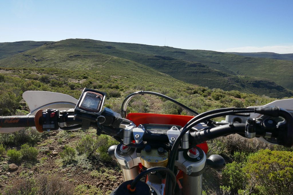
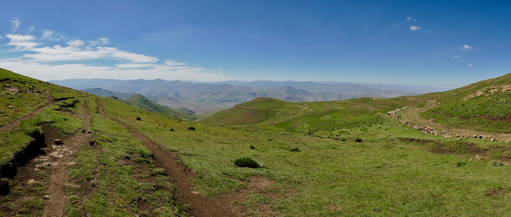
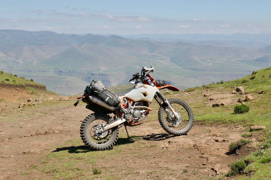
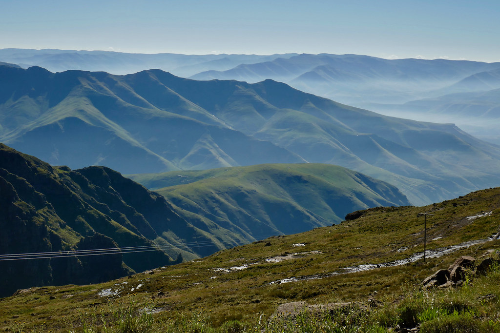
So I decided to push uphill on the road climbing steeply up the eastern side of the river with intention to find another approach to the river further up. THe road took me all the way up to the top of the range and then turned north as I hoped for. I have tried in couple of places to get back down to the river, but it was just too steep, so I continued on the road, which gradually deteriorated to clearly unused track in the mountains. Which of course made it much more enjoyable on 500.


39134946080_103a3f5959_b.jpg


40902759992_e1248ec107_b.jpg


40050321105_b4c921c9f8_b.jpg


40050336075_bb75d862f1_b.jpg


40236158364_720f945b5b_b.jpg


39135004060_e847c4cee7_b.jpg


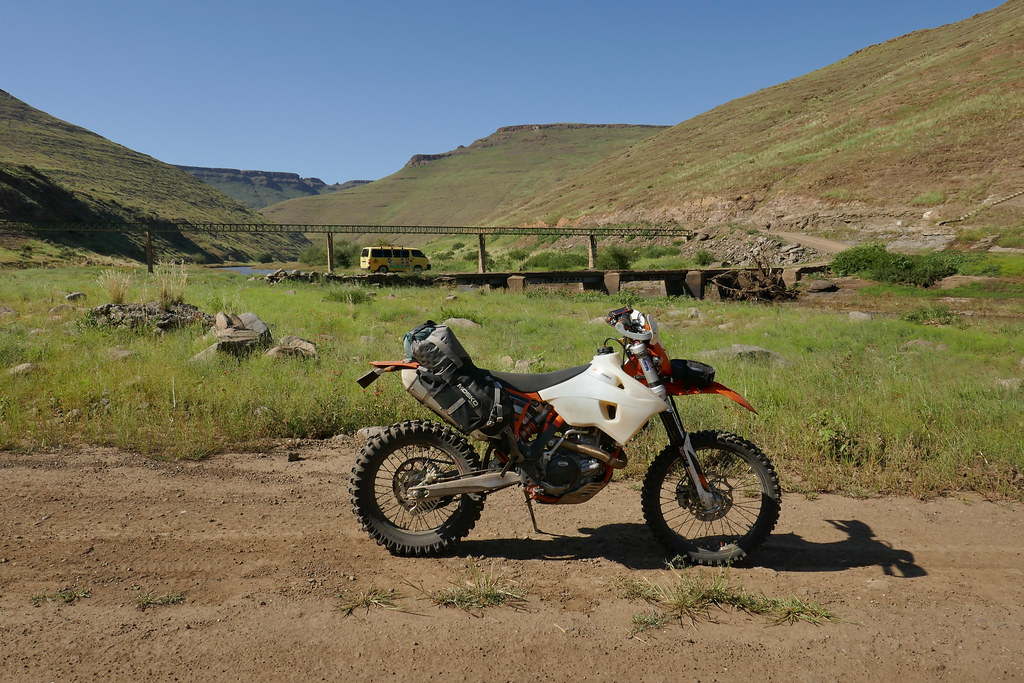
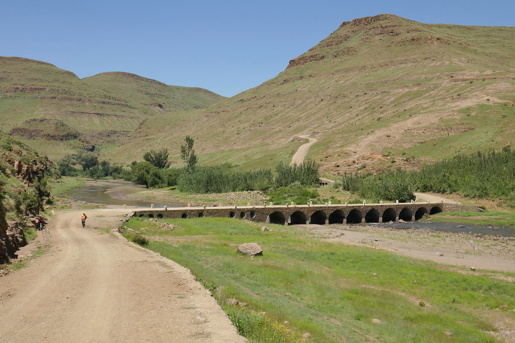
I was quite chuffed to find this road as nobody in biker world seems to know about it - well except the Germans from MapOut as the tracks were indicated there. I knew that at worst I should be able to get back to the river about half way to Katse at another bridge just downhill from a village Tsieng. And the road/track I was on eventually delivered me exactly to that bridge:


27073447148_26301d1809_b.jpg


27073455198_28139bd818_b.jpg


At the bridge I turned north and followed the river upstream. Pretty soon I came upon that tributary that stopped me few days back and as expected, it was much lower and calmer now and I crossed without glitch. From there on it was just repeat of the ride I did few days back all the way to Katse (minus the bee/bumbe-bee accident I'm glad to report).


27073470908_b59f561bc5_b.jpg


40236219484_2db9af3148_b.jpg


40902882192_b86f023881_b.jpg


40050422395_c7876d431c_b.jpg


I arrived at the Katse lodge early afternoon, loaded up the bakkie and chilled for the rest of day for an early departure next day back to Joburg. Overall, I came again pitifully short of my unrealistic ambitions. But I managed to find new way to Mohale and discover quite a few tracks that even Losper doesn't know about  O0 (well - he does now), and most importantly got some very nice riding under the belt. I sure will be back for some more punishment soon.


40944537301_404793f10b_b.jpg
 
Great stuff as always! I’ve just come back from Clarens but between bad weather and visitors, the bike didn’t leave the trailer unfortunately. Last time we were there it snowed [emoji35]
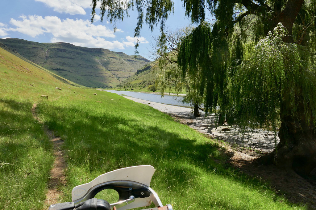

Sent from my iPhone using Tapatalk
 
Thank for sharing Xpat

Pictures make me want to go ride :)
 
Martin,  thanks for the effort and time you have spend doing this awesome ride report.
You are truly living the dream :thumleft:
 
Thank you [member=4807]Losper[/member] and [member=21761]Highsider[/member]  :thumleft:

Lesotho indeed is a place of almost unlimited opportunities in terms of riding if one is willing to put time and effor in, and I will be back to get some more soon.
 
Well done Xpat, thanks for letting us follow along. Seems like that last ride was a perfect way to finish the trip.

Lesotho is a really beautiful, quiet place.
 
Top