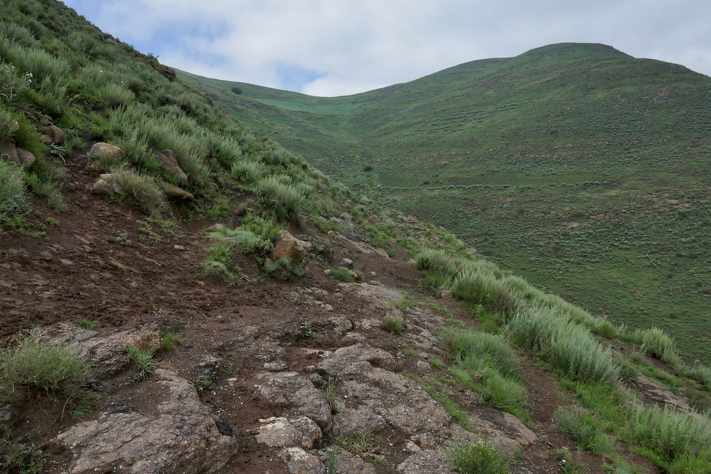
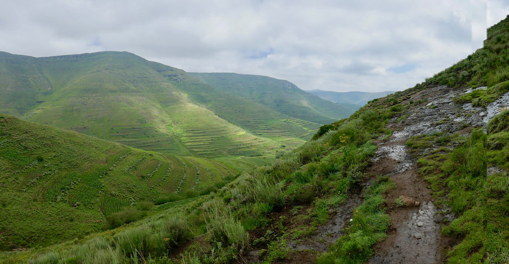
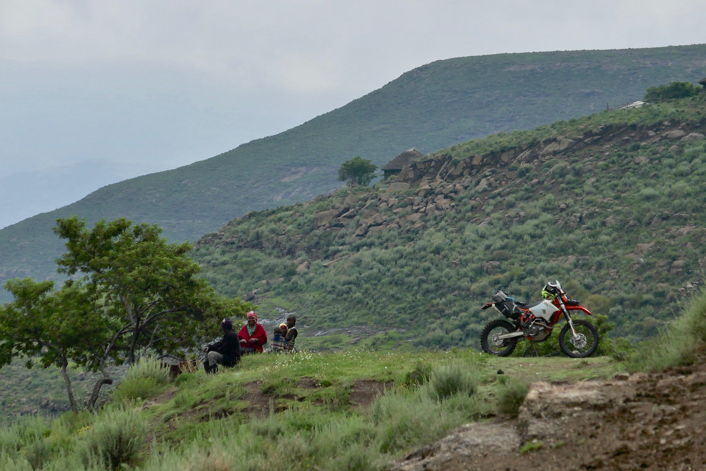
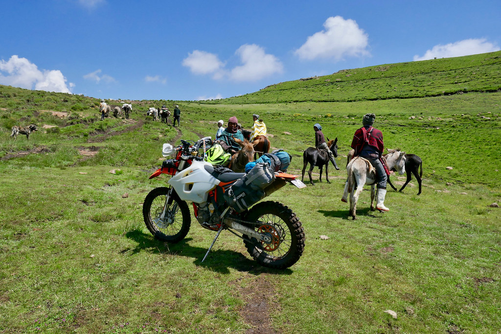
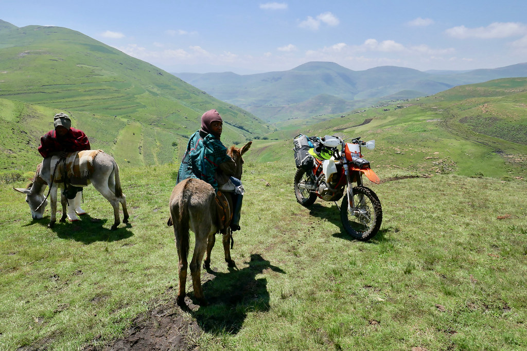
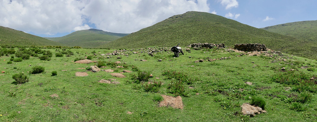
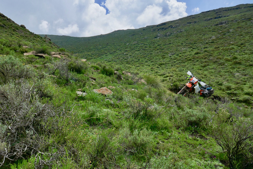
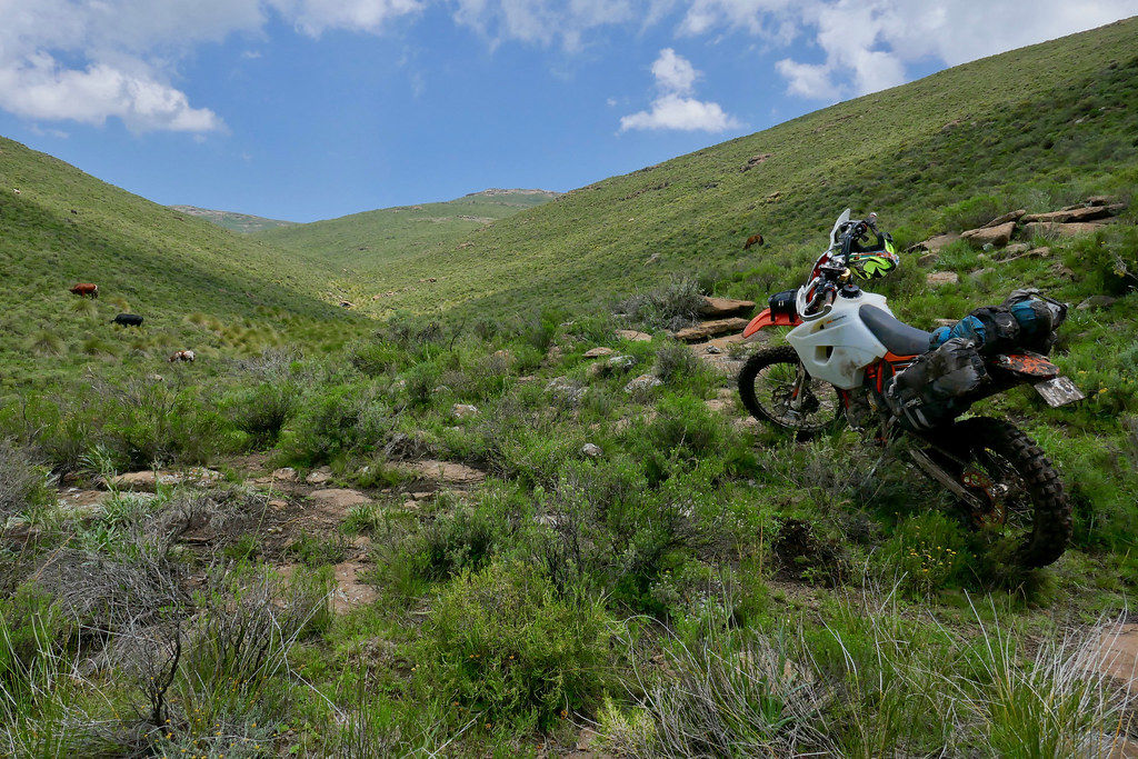
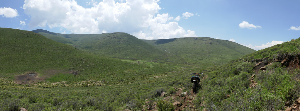
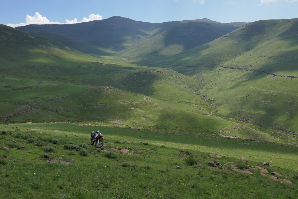
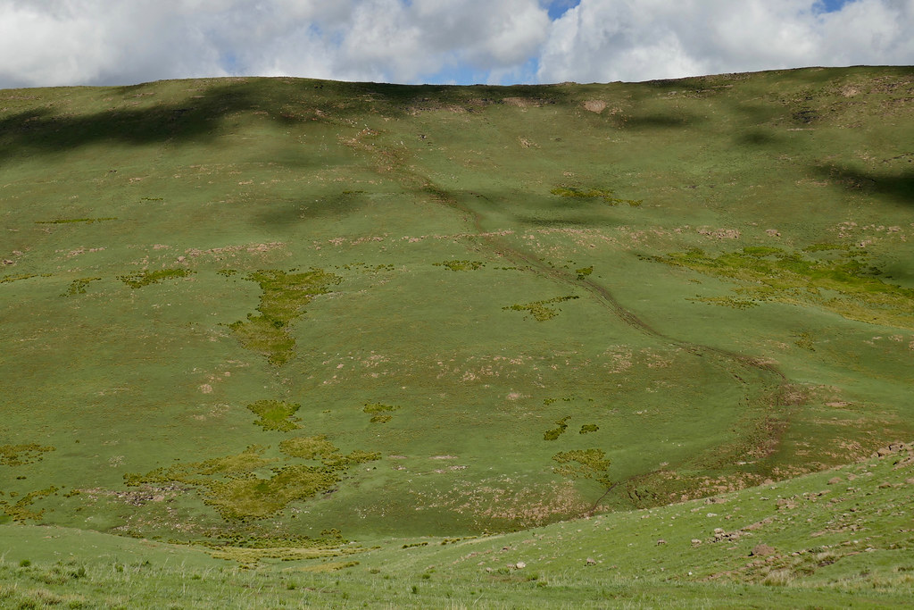
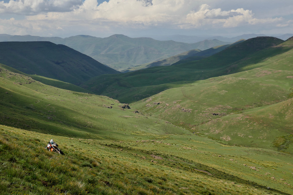
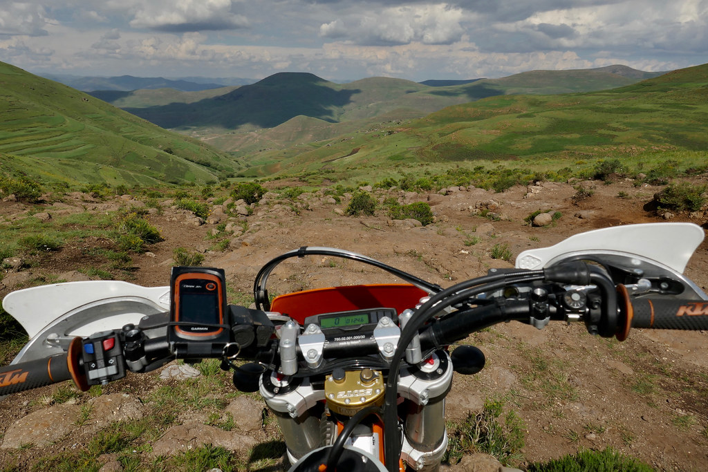
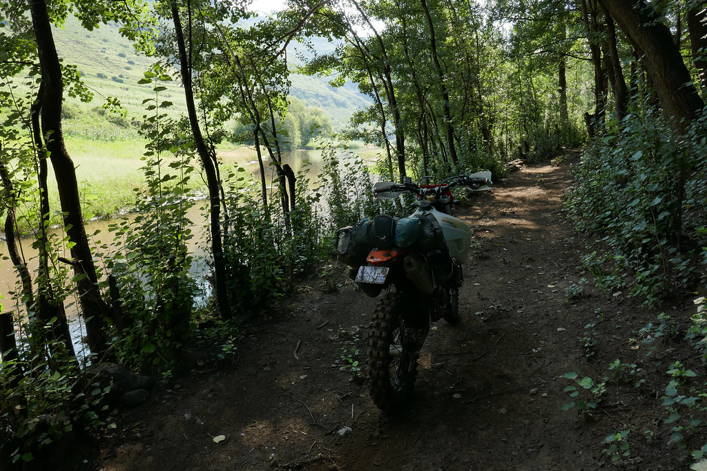
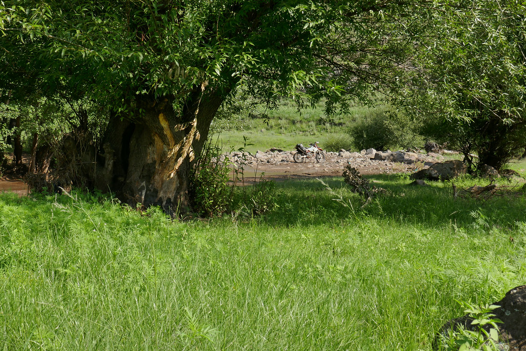
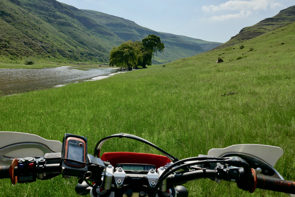
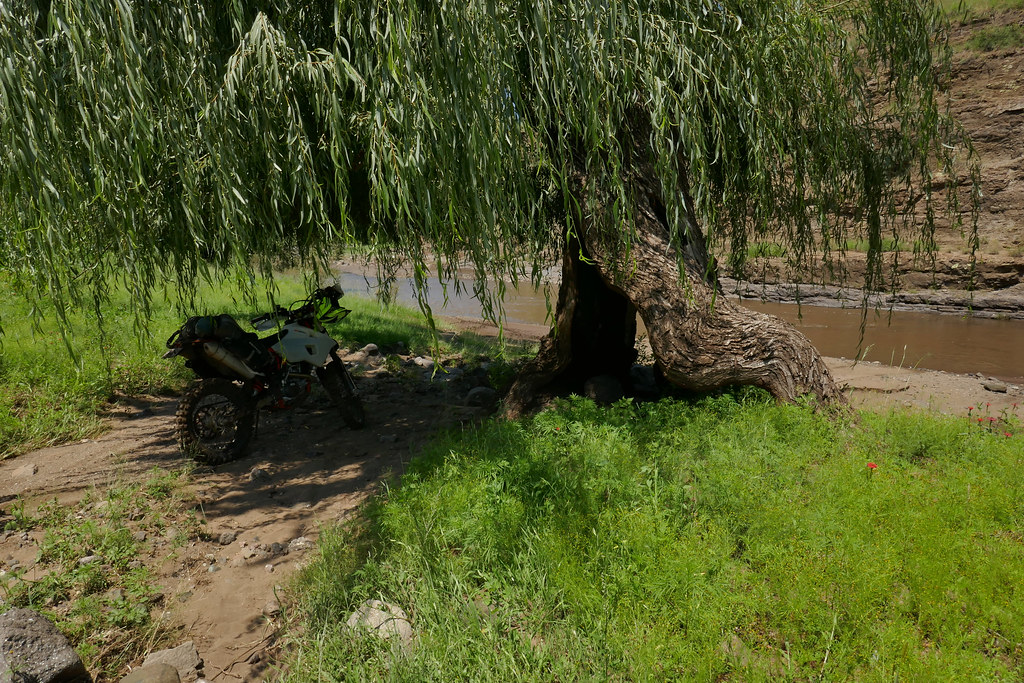
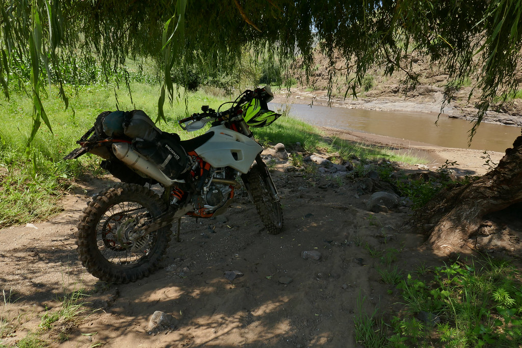
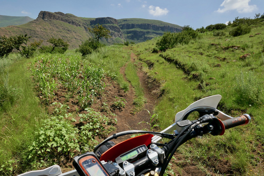
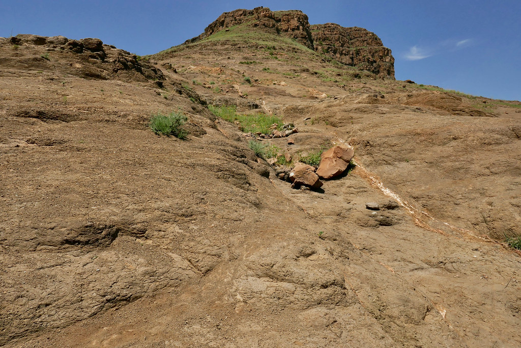
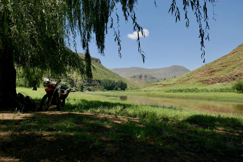
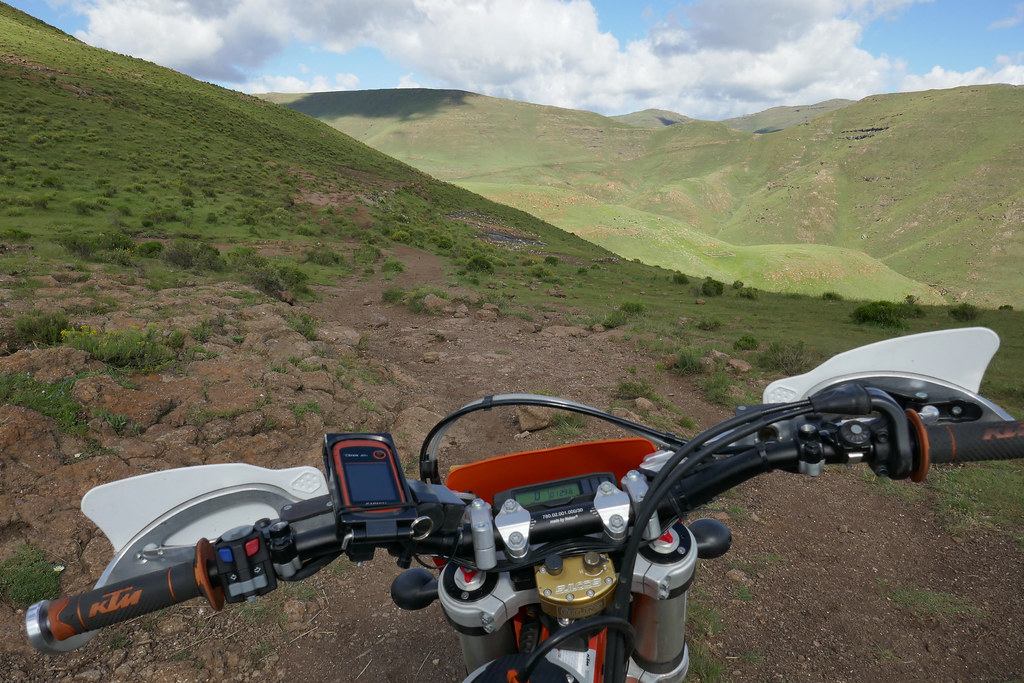
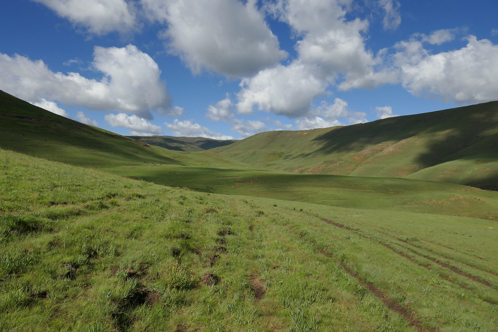
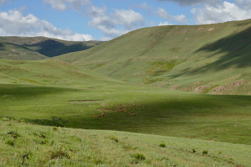
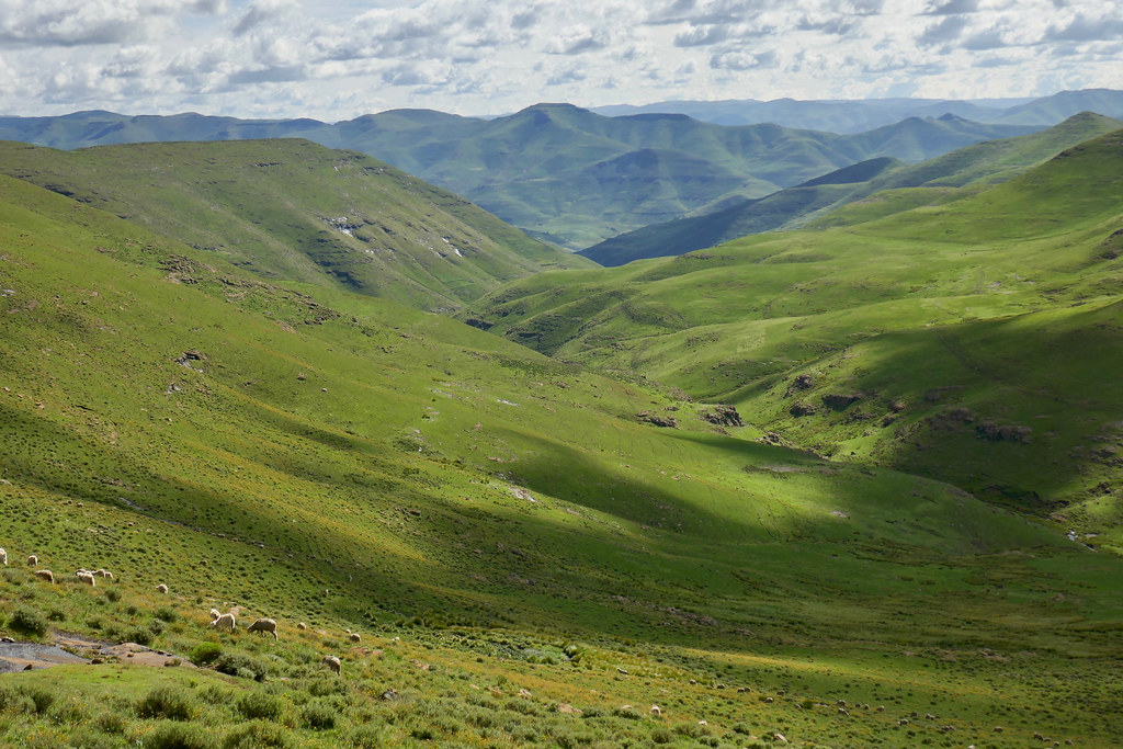
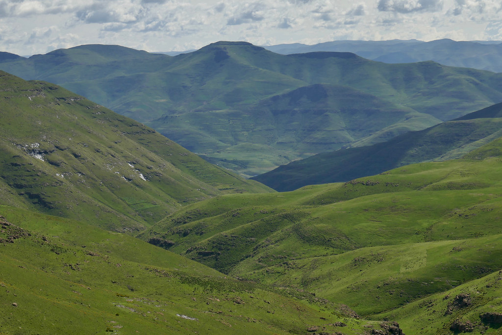
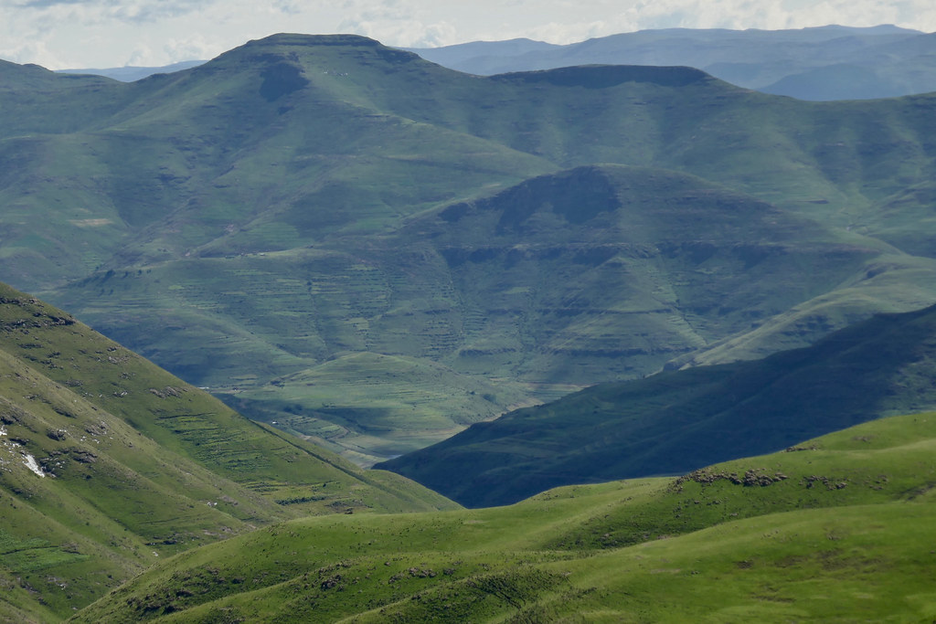
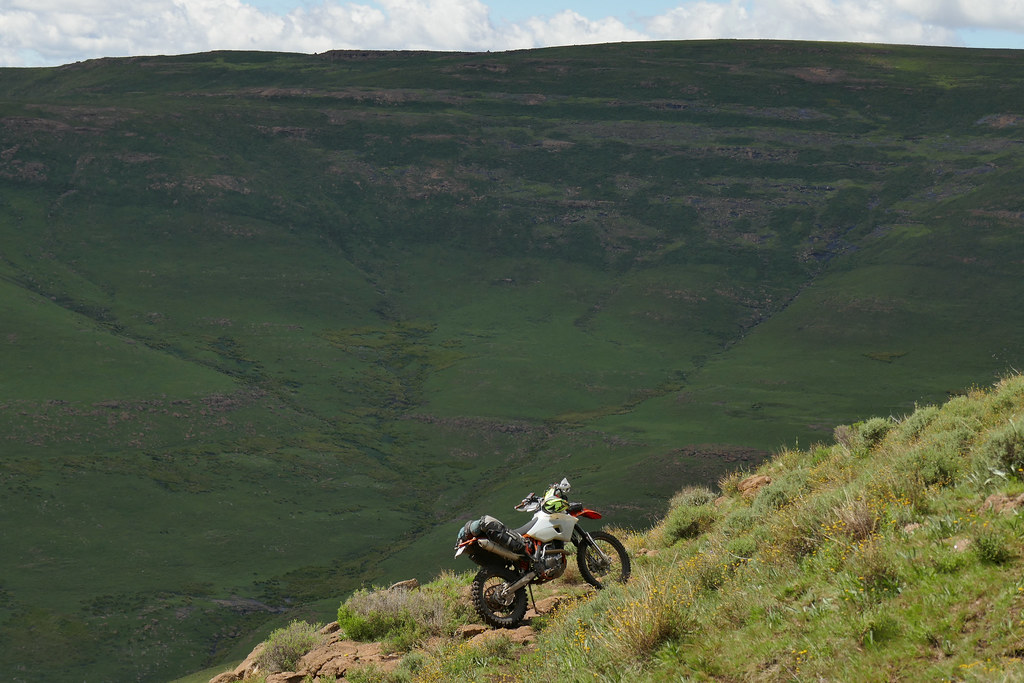
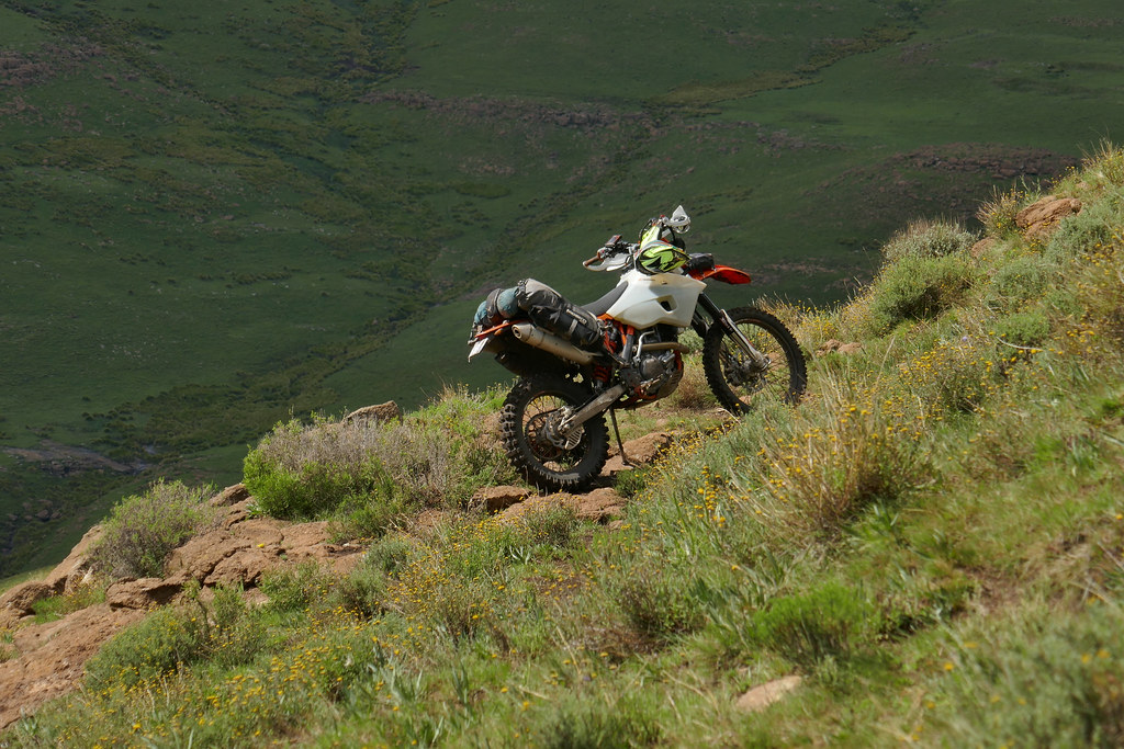
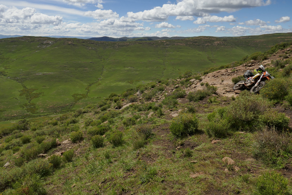
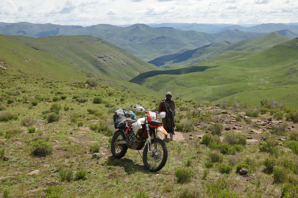
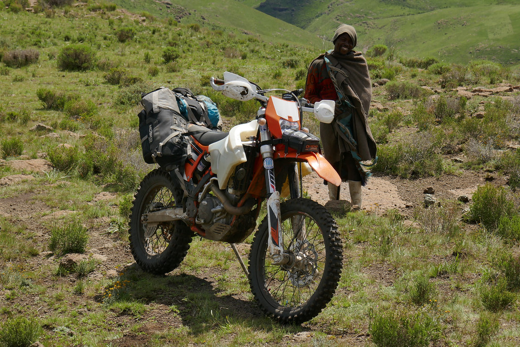
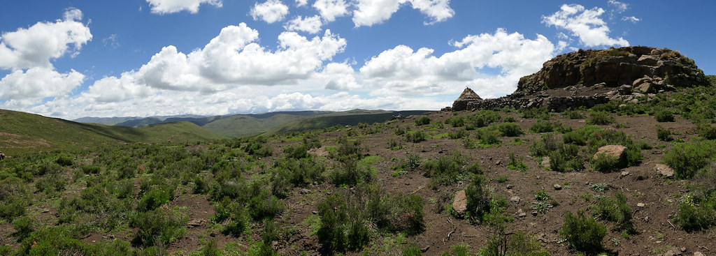
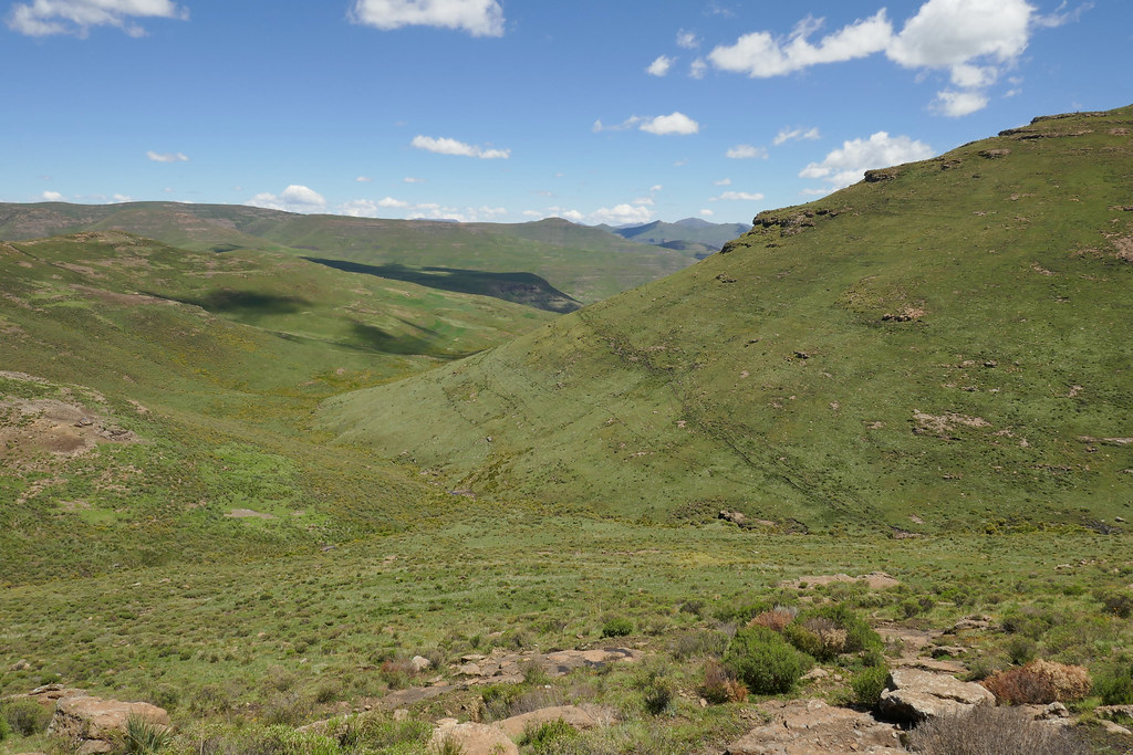
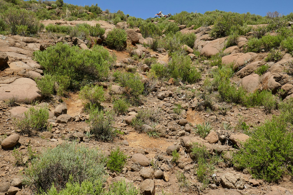
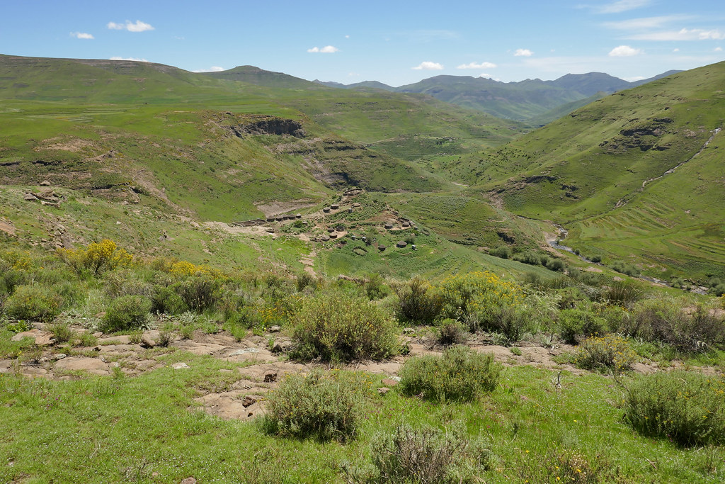
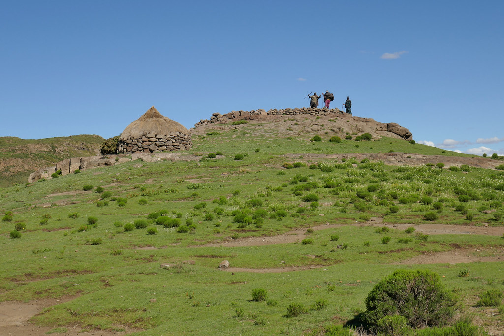
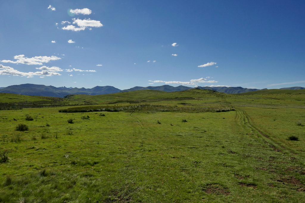
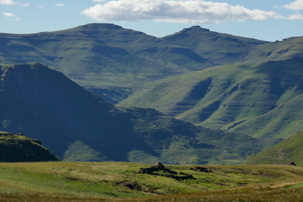
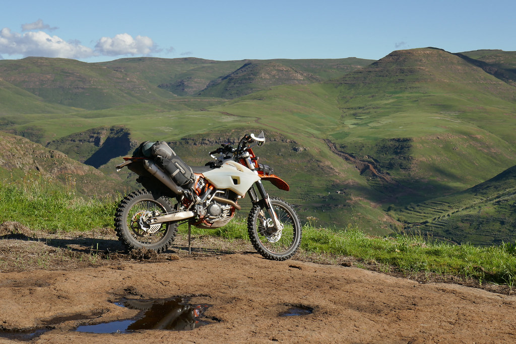
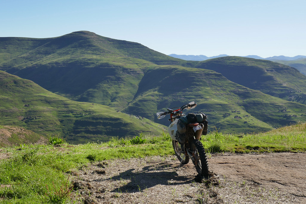
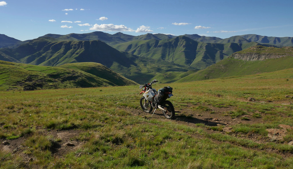
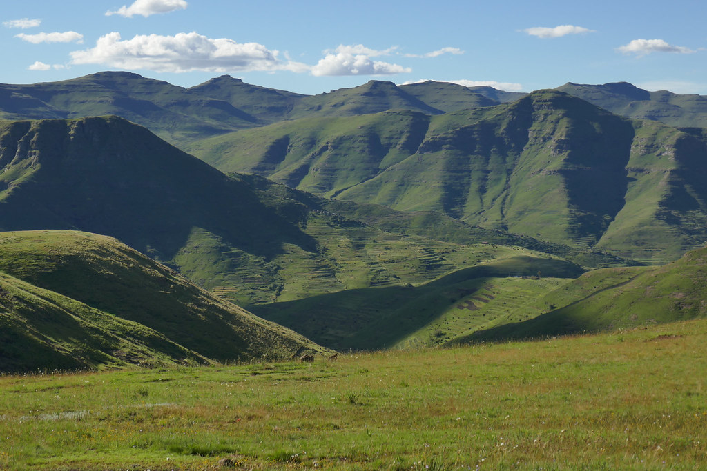
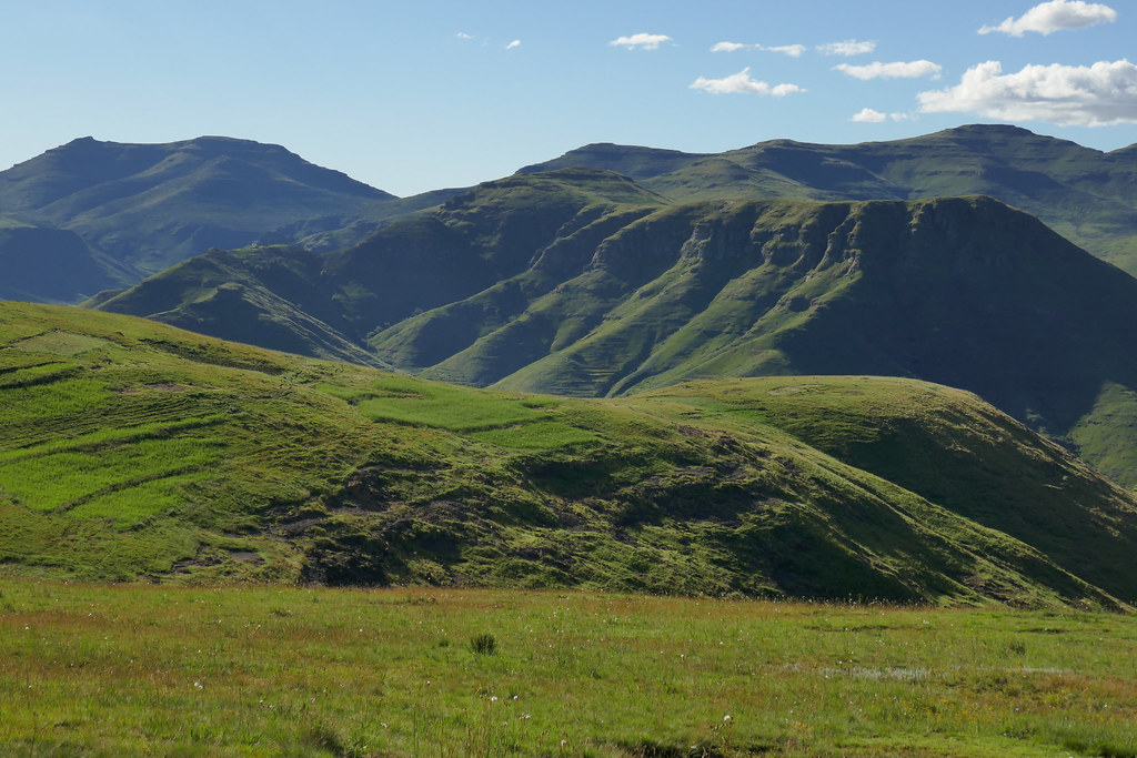
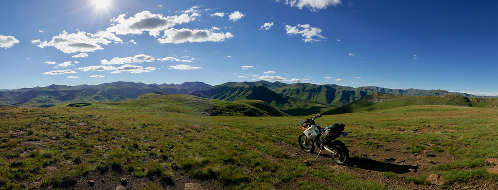
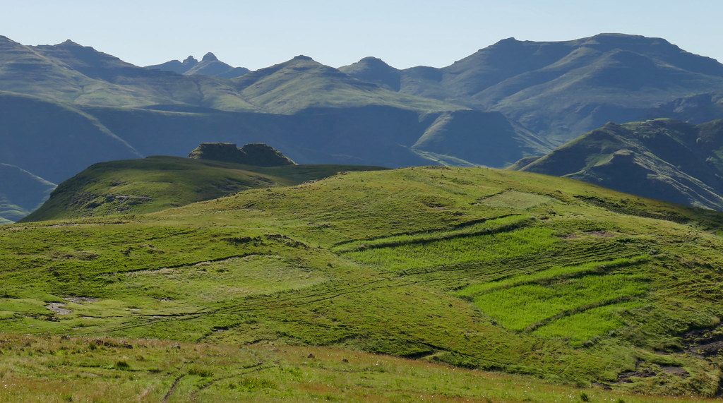
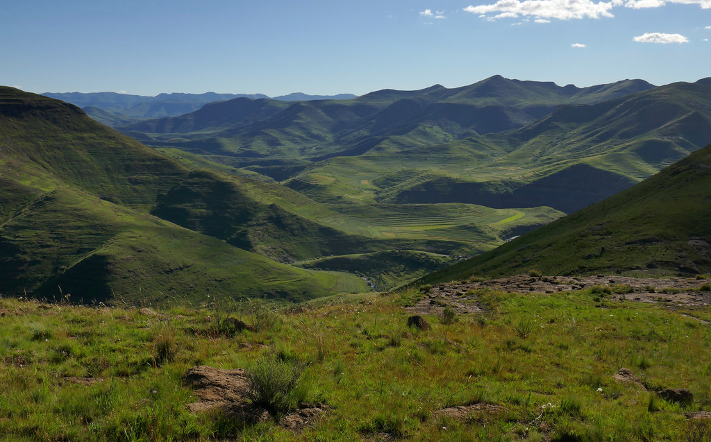
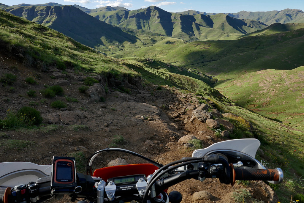
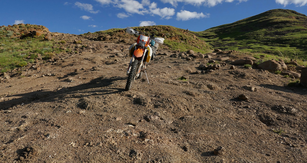
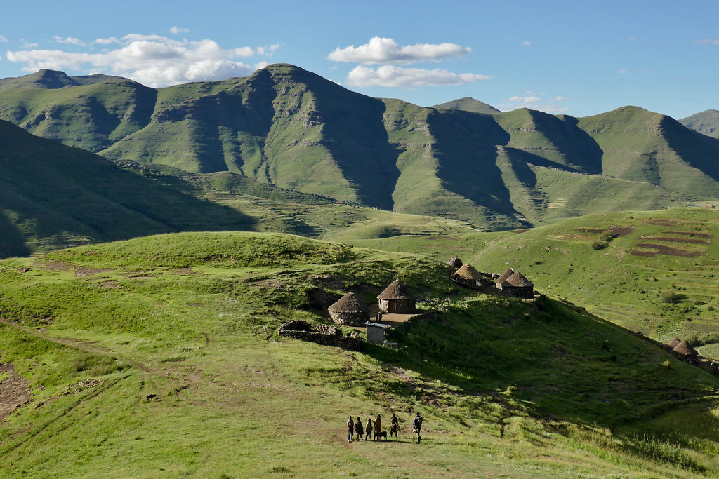
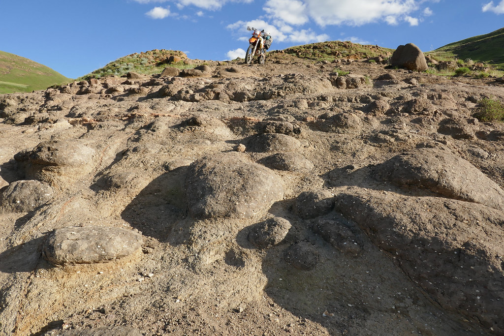
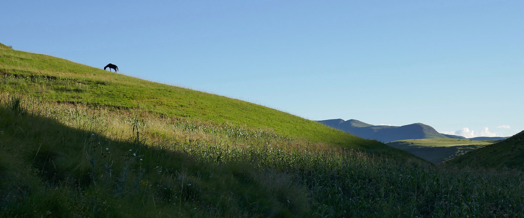
Lesotho Rock'N'Roll

This site may earn a commission from merchant affiliate links, including eBay, Amazon, and others.
WOW  :drif:

I missed this one somehow.  :(

But just caught up on it in one sitting (I was supposed to be in bed hours ago  :peepwall: )

Great RR Martin. Lesotho is a place very dear to me. I spent about 3 years as the paramedic at Letseng Mine, and I got to know Martin at AfriSki really well. A great guy.

I eagerly await your next RR  :thumleft:  :ricky:
 
Great writing - thank you. Loved your candor and humor. :thumleft:

 
Second serving

So in February I went back to Lesotho for second serving of the rock n roll. This time the plan was to leave the car in Katse dam and do a week or two long eastward loop mostly following Lesotho borders. As usually I got silly ambitious and the plan involved crossing over mountains from Katse to Mohale dam, then following Senqunayane river down to Semonkong, from there take the shortcut south over mountains that IanTheTooth and his gang did few months back (https://wilddog.net.za/forum/index.php?topic=217887.0), then do the Adam Kok route down to Ongeluksnek (again brought to my attention by Ian in one of the planning threads), turn east and cross over the mountains to Sehlabathebe, then follow Drakensberg escarpment up to Sani Pass (again, done by Ian and his gang last year - and the one I have failed from the other side on my prior trip), get up and cross over Thabana Ntlenyana (highest mountain in Southern Africa) again, and then follow from Mokothlong Orange river to its source up on the escarpment, where would connect to the track I did in November and ride along Royal Natal boundary to Afri Ski and from there it is just easy jump back to Katse via Kao mine road (chicken route).

And exactly as last time I came pitifully short, partly because I ended up having only 10 days or so (not enough if you are riding tracks many of which have never been ridden and I just imagined them on satellite images) due to my procrastination, and partly because my blaring lack of skills.

That said, I couldn’t care less. I still had some fantastic riding - albeit much shorter and managed to find some new interesting routes.

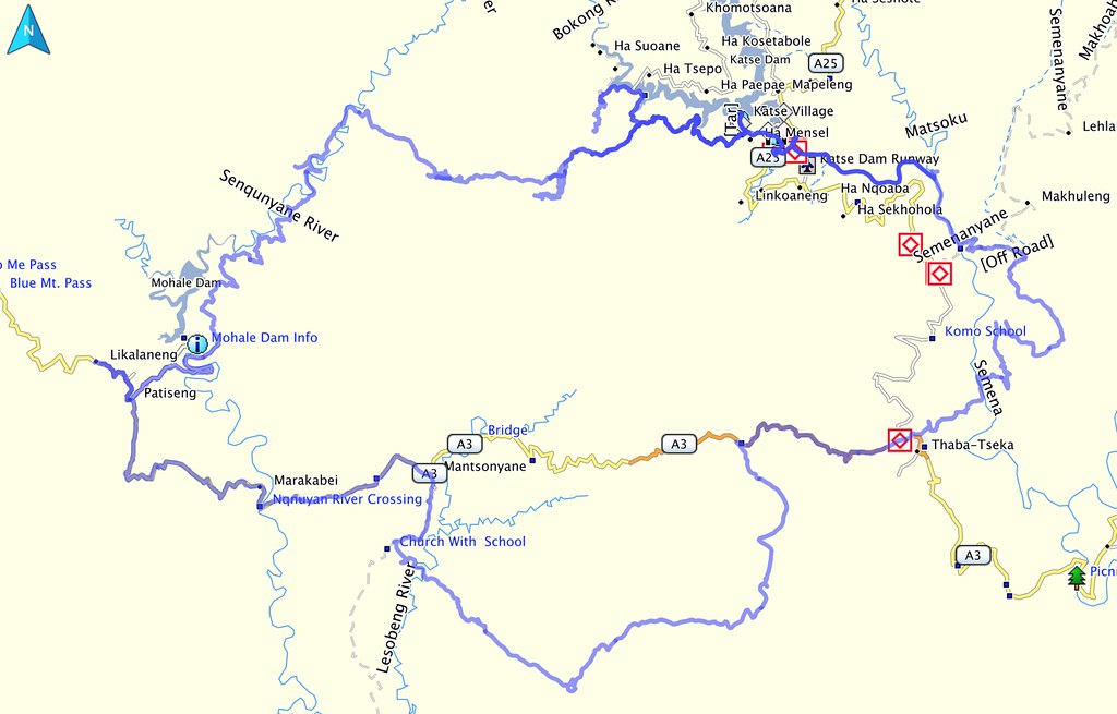
This is what I ended up riding eventually: I have crossed from Katse to Mohale on new track (I had a route Losper’s 300 gang rode some time ago, but that proved to be too tough, so I found an alternative), from Mohale I rode to Thaba Tseka on track over mountains (though not as many as I wanted), and from Thaba Tseka I rode back up to Katse dam, half on some unknown track east of the Malibiamatso river (the one flowing from Katse dam), and second half all the way to the dam along the river. It is a nice 3 day loop doable on appropriate bike - and can be extended a bit as I have lost some time trying to find crossing from Katse to Mohale.

Here is the map of the routes ridden:

40902951142_52dd903b08_b.jpg


GPS tracks of the loop I eventually did are attached to this post, including new track connecting Katse and Mohale (Part 1). I have seen somebody looking for that in one of the threads (don’t remember who and where), so people may find it useful. It is proper cross country, but doable by average rider on loaded 500 - with some sphincter tightening sections - in one day (I had to sleep out, but that was because I took many detours while looking for best route).

I will follow up with pictures and some commentary in the follow up posts, that will provide give some more detail about the routes.
 

Attachments

  • Part 1 - Katse to Mohale.GPX
    613.8 KB
  • Part 2 - Mohale to Thaba Tseka.GPX
    532 KB
  • Part 3 - Thaba Tseka to Katse.GPX
    329.1 KB
Days 1 & 2

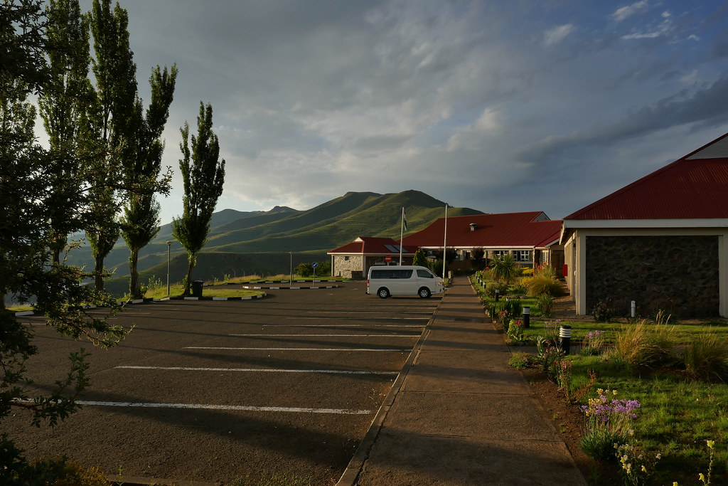
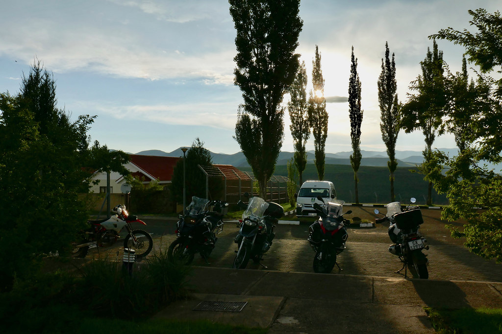
I was based at Katse lodge, where I offloaded bike and parked bakkie supposedly for next 10 days. I ended up coming back much more times than originally planned, and the lodge became home from home for the next 10 days.

40943177301_ebbe14124a_b.jpg


40234689874_7c3e5ea705_b.jpg


40901457082_207bf92b7e_b.jpg


During my stay there over the period of the trip, number of adv bike groups passed through on the usual one/two day dashes through Lesotho. Which is quite frankly a cop-out, but probably most one can do if they voluntarily limit themselves by big heavy bikes. This lot was on the round trip from Knysna.

39133664540_841ab9228e_b.jpg


On day 1 the plan was to ride over the mountains to Mohale dam along the track plotted on ridden by Losper and his gang on 300s. I abandoned that plan within 30 minutes as soon as I arrived to the point where the track diverged from the dirt road flanking Katse dam and headed up very steep pass. I did walk up a bit to confirm that it is as it appears, but decided against it. I mean I might have attempted it if my life would depend on it, and possibly even make it up, but there was another 80 - 90 km of track to follow and if this was any indication of things to come (and knowing what Losper likes to ride on 300 it probably was), I opted out. Another reason to chicken out was that to the south I have seen at least two more inviting valleys running in the right direction and knew from my map research that they may offer viable alternative. Especially as that route seemed to run on top of the mountains which are generally flatter and more friendly for DS riding than much more steep and gnarly river valleys - which is what Losper’s route followed.

Losper's route runs through that pass to the top right:

40942861311_c82cfb0f8e_b.jpg


40942871741_f698399fbc_b.jpg


But the weather was was getting worse by the minute, so I decided to look for the alternative route next day, and instead just went for a loop ride on the dirt roads flanking Katse dam. Which turned out to be pretty dumb move as I got caught up by downpour, and ended up riding 50 km of the cold Lesotho passes completely soaked through. That would come to bite me in the following days.

Next day I set-off again from Katse lodge keen to find alternative route to Mohale dam. I have researched it on my iPad on very useful german application called MapOut, that had detailed map of Lesotho, including contours and even most cattle tracks - those Germans do things properly!

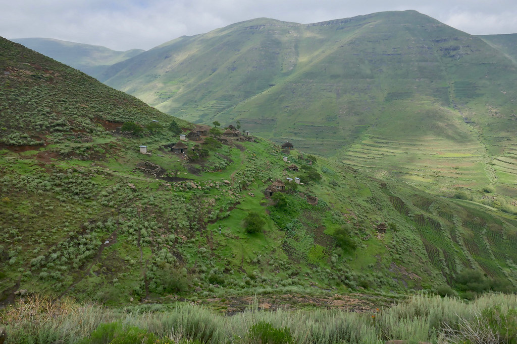
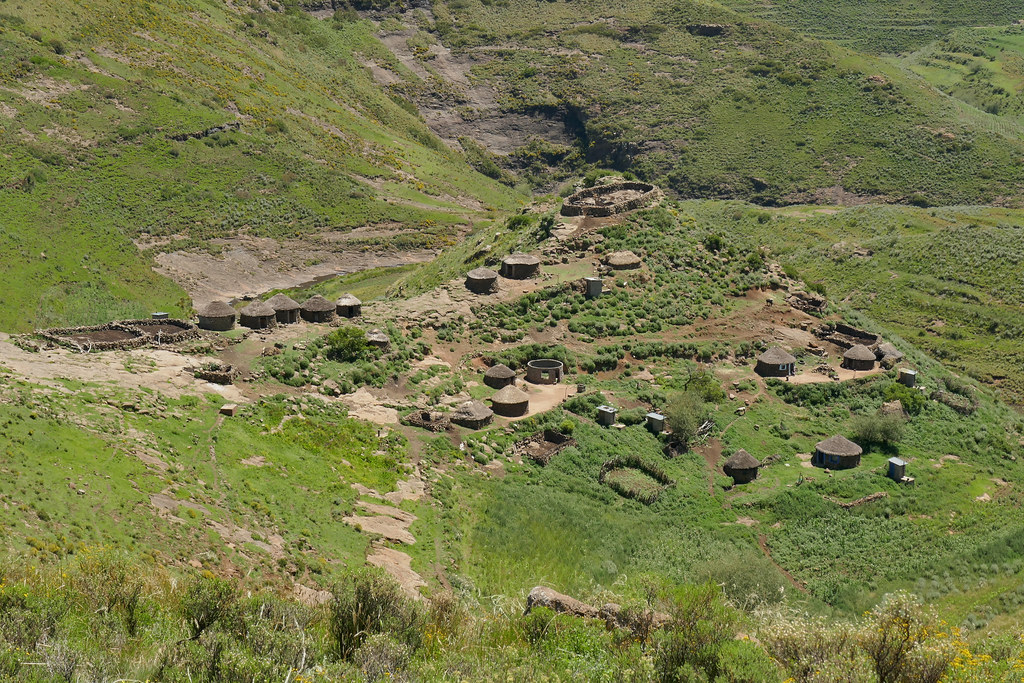
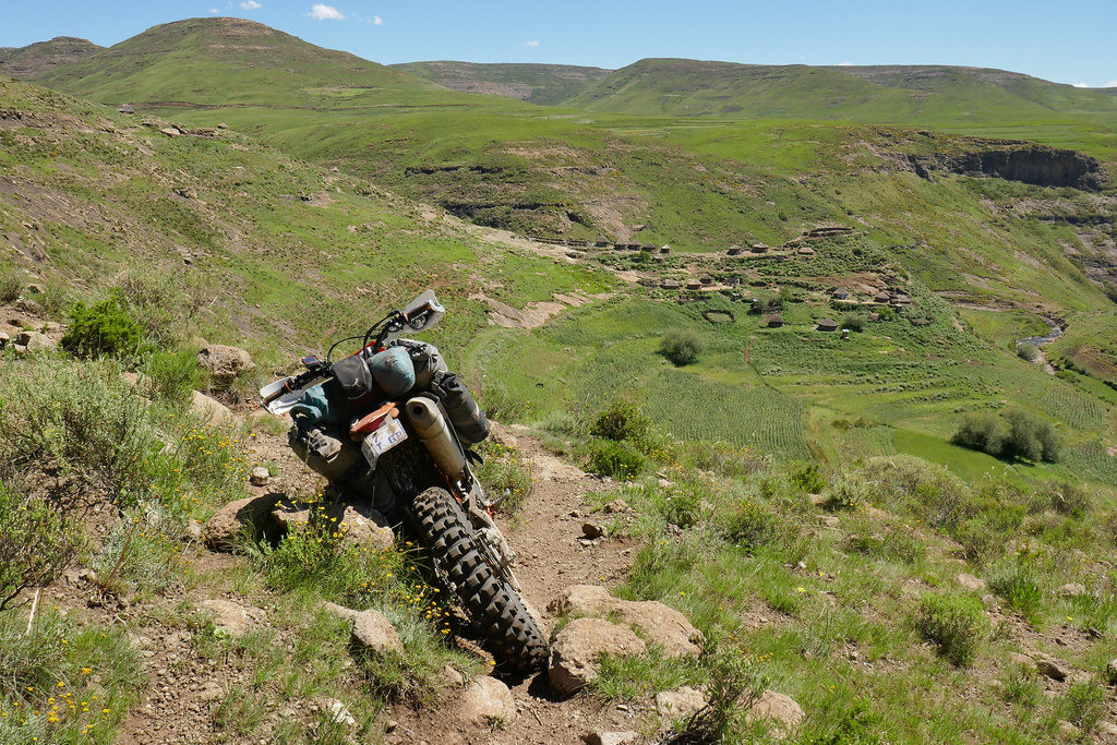
First I headed up a valley where I spotted track prior day. The valley was pretty steep, but initially I was making good progress as there were tracks - very gnarly, but still tracks - heading up to the settlements sitting in the valley.


40942892501_a7fc9a8295_b.jpg


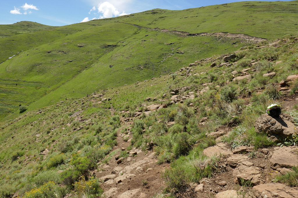
But eventually the track became just too steep off camber running on slippery rocks and mud.


40048637085_c368ed2ef2_b.jpg


27071672418_c3eb927a4e_b.jpg


40901187412_e67b7f6400_b.jpg


So after little walkabout I turned back. I then investigated next, much wider valley to the south of the first one. This one turned out to be much more user friendly and soon I was able to connect to the first valley much higher up where it was much wider and easier to ride.


40048689735_1da3925bf0_b.jpg


40942992841_840f2bfef9_b.jpg


40943005441_d3f554f165_b.jpg


I rode all the way up the valley, where I tried to climb up the right hand side as I  knew from Germans that there should be cattle tracks running on top of that ridge that would potentially take me all the way to Senguanyane river flowing to Mohale. But the climb was too gnarly - not necessarily too steep but running along the bottom of another much more off-camber valley.

39133512400_c36ab7e841_b.jpg


27071789778_ba8ae95837_b.jpg


I then tried to climb the other side of the valley as I thought that I may be able to run on top of the range and circumnavigate back to the start of the track. But that also turned out to be above my pay grade.

27071835878_baeb746a30_b.jpg


40234541304_beefe8e538_b.jpg


40901327712_281a9abe5f_b.jpg


40048844065_aee16ba345_b.jpg


27071889168_906c09a30a_b.jpg


40048877415_7875edfb5a_b.jpg


Defeated I then backtracked down the valley until I noticed very distinct cattle patch running up the right side of the valley about half way back down the valley.

39134056830_ce607fe939_b.jpg


I gunned it up and made it about 80% up and walked the steepest top bit to see if it is doable. It looked doable to me (for Roofers like Losper this would be actually extremely easy - but I’m not one of them), but by now it was past 4 pm, and my inner gastro tourist commanded retreat to the medium rare steak in Katse lodge. I will come back fresh next day and try again.

39133644790_fa2213abf9_b.jpg


39133655430_16bbe64c05_b.jpg

 
Xpat said:
Days 1 & 2

I was based at Katse lodge, where I offloaded bike and parked bakkie supposedly for next 10 days. I ended up coming back much more times than originally planned, and the lodge became home from home for the next 10 days.
SNIP
Hi Expat, I was the one asking about a route from Katse to Mohale.  I’m following this RR with keen interest.

Mod comment: Guys - when quoting, please don't all of quote Xpats photos, clip out the references or just reply if you are on mobile. :thumleft:
Now on with the thread :deal:
 
[member=21761]Highsider[/member] : the gps track is attached tothe first post of this trip - tha one with heading Second serving. I will post some photos and commentary later, but overall as i said i believe it is very doable by determined weekend warrior on appropriate bike. I would even go so far as to say that really competent rider can make it on big ds bike (ie 690/701, DR/XR or similar), but i wouldnt want to do that.
 
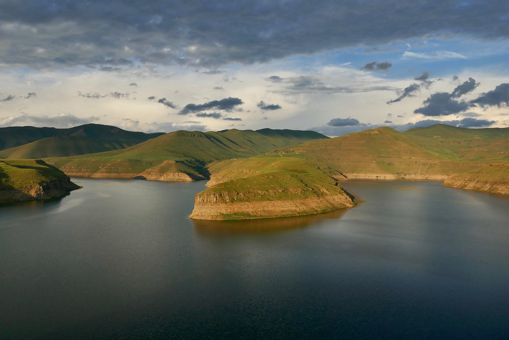
Hi Expat, I've read this thread from start to this point and have enjoyed in tremendously, thanks a lot. Your photos are super clear and composition especially the one photo across Khatse dam, wow. What camera and lens(s) did you use ? I would guess that its not a cumbersome DSLR as you don't seem to have much luggage on your bike !
 
Xpat said:
[member=21761]Highsider[/member] : the gps track is attached tothe first post of this trip - tha one with heading Second serving. I will post some photos and commentary later, but overall as i said i believe it is very doable by determined weekend warrior on appropriate bike. I would even go so far as to say that really competent rider can make it on big ds bike (ie 690/701, DR/XR or similar), but i wouldnt want to do that.
e6c81276db9fc7357236308f99652f29.jpg

I spent 5 days in the saddle of my 525 last weekend, in Lesotho.  It was a pleasure compared to my 990 in the technical stuff.  The ride there and back was a killer, I should learn to trailer it around like you do!


Sent from my iPhone using Tapatalk
 
Days 4 - 7

Next day I woke up with fever - the prior day shinding in the rain caught up with me. I stayed in bed for two days until I felt ready for another attempt at crossing to Mohale.

Once ready I packed up and set-off again very early to get myself as much time as possible. This time though I got defeated much earlier still on the outkirts of the last settlement. It has been raining for past two days and off-camber cattle tracks that I barely noticed at the first try were muddy and super slipery. I gave it a cursory try, but was slipping all over the show and knew that I have zero chance on the much more steep sections further ahead.

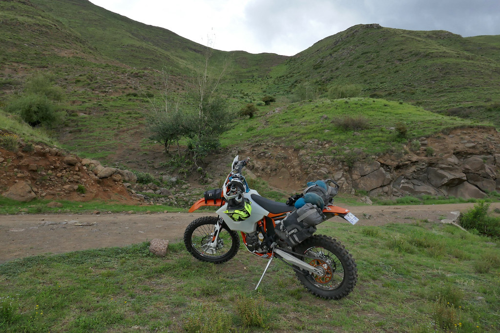
Annoyed I turned back, but it was too early to just retreat into the lodge even for this lazy ass. Losper told me about route to Thaba Tseka along the Maliabiamtso river - the river that flows out of the Katse dam and flows all the way down past Thaba Tseka and then further on into Orange river. He mentioned that it has been done by few guys on 690s some time ago. With nothing better to do I decided to go and have a look.

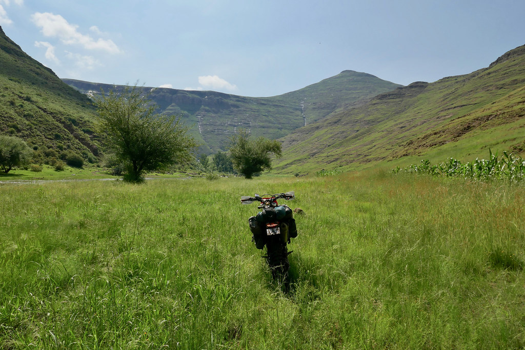
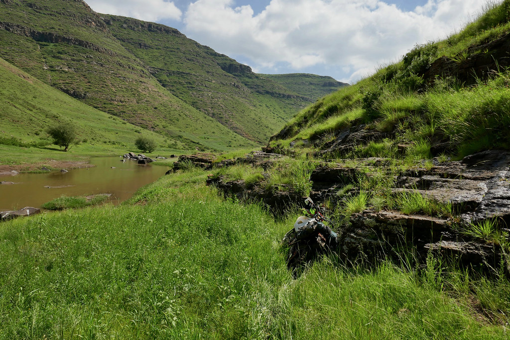
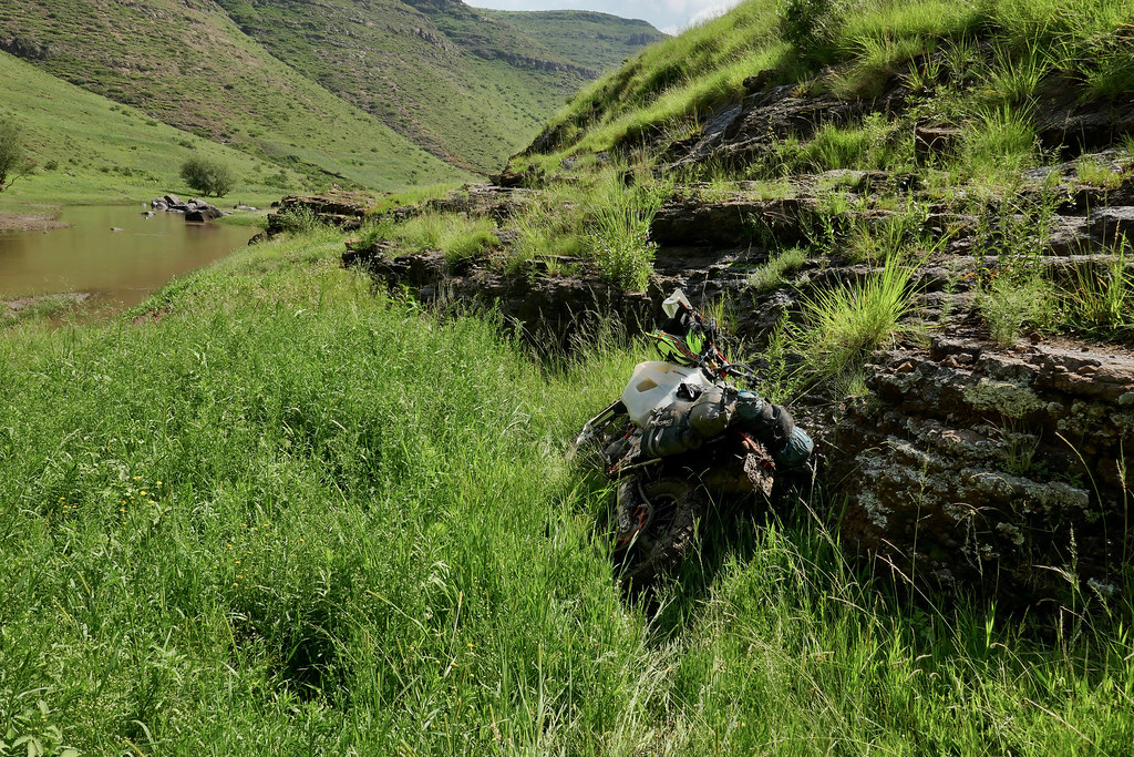
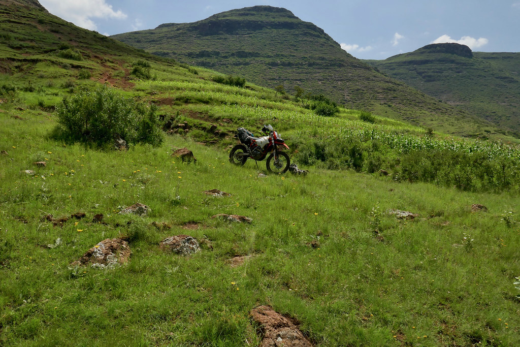
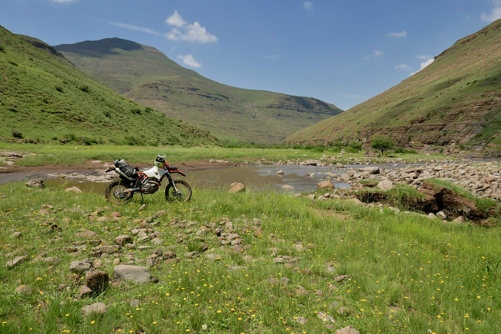
First 10 km from the dam were easy and quite scenic dirt road clearly used by cars frequently - until I came on a big tree fallen over the road. Then it was off to cattle tracks and free riding along very lush river bank. As this is the only flat land for very many dozens of kms and one with very fertile river soil, I had to bypass number of fields, sometimes just tipytoing along their boundary. The valley was very nice - very green and lush from the recent rains. The banks were usually pretty wide, but treacherous to ride. They were overgrown by tall dense grass hiding many big rocks and sucky mud. So the progress was slow as I often bounced back off some 40 cm big boulder that didn't see coming.

39133712120_05a981abd7_b.jpg


40234740434_e05bd73cb7_b.jpg


26070504327_d0d5e9d918_b.jpg


26070520307_38c72afe5e_b.jpg


40901538622_99517a2e98_b.jpg


40234821644_f697bb9496_b.jpg


40234805164_67ca6d0b7d_b.jpg


As shown above, after few km I came upon rocky outcrop on the side of the river I was riding and had to cross to the other side. I hate river crossings with passion and am willing to go to great lengths to avoid them. The river wasn't particularly deep or fast flowing, but the bottom was mud, and at the rapids the rocks were extremely slipery - even just trying to walk them. So I took my time picking the right spot to cross walking across the river few times. I crossed with only slight drama when in one point close to the other side the rear started digging in and I had to jump off the bike and push it over - luckily I didn't lose completely momentum while jumping off. I have to say - I love 500, but the low air intake is very dumb idea. I would have much prefered to have insulated sides of the airbox and air intake from under the seat. Would have saved me quite a bit of nerve and is my constant consideration when looking for possible routes in Lesotho. THat is one of the reason why I prefer routes running on top of the mountains and try to avoid valleys.

I continued on the other side of the river for quite a few km until I came upon Matsoku river - tributary flowing into Maliabiamtso from the mountains above, about third of the way to Thaba Tseka. It was fast flowing and deep - the current rains really bringing it to life. I tried few paths across, but it was way too deep and fast flowing. There were some herdsmen around and I consider asking for help, but then decided against it as I didn't want to risk flooded engine in a valley where there was no easy way out. While I theoretically knew what to do should I flood it and even carried spark plug spanner I wasn't keen to try it. Last time I flooded bike, it was in Zambia and turned into one week recovery operation, including getting bike transported on rangers bakkie standing precariously on number a few dead impalas supposedly killed by poachers (yeah, right), 16 hours or so on bus from Katima Mulilo to Windhoek, flight to Pretoria, renting bakkie and driving all the way up and back down again. That put me off river crossings for life probably...


27072148068_f9448a1e6c_b.jpg


40049103655_c101df4505_b.jpg


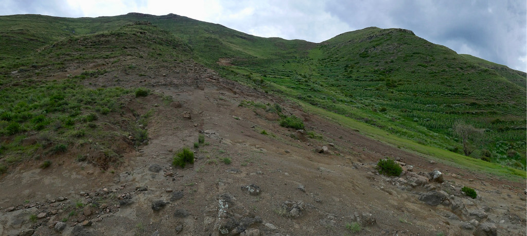
Not keen to back track yet, I could see on my iPhone some cattle tracks heading up into the mountains along Matsoku river, so I went to investigate. It looked like I may be able to get up on the hills - the german map actually indicated road going up the pass rather than just track, so I was hopefully I can get up there and fine another way either to Thaba Tseka or Katse. After initial good progress the road (OK double track) reached steep mountain where all the soil was completely washed out - just barren rock. I tried to fine way up but it was just too steep and washed up even further on so after fruitless reconnasaince I had to turn back.


40234898264_3199bcb9cc_b.jpg


40234877384_c90a67a062_b.jpg


40049119315_71ecfa5cfb_b.jpg


39133933340_25cb2011ee_b.jpg


26070681197_a639821c7b_b.jpg


40901732512_92cd2f1996_b.jpg


40234960404_d503ed6809_b.jpg


26070724467_ae3849b83b_b.jpg


26070734547_b0b55fe787_b.jpg


Out of options, there was nothing else to do just to back track back to the Katse along the river. I was quite annoyed at another defeat, but there was just no way to cross Matsoku river carrying all the water from the recent intense rains.


40234985444_5da0cea823_b.jpg


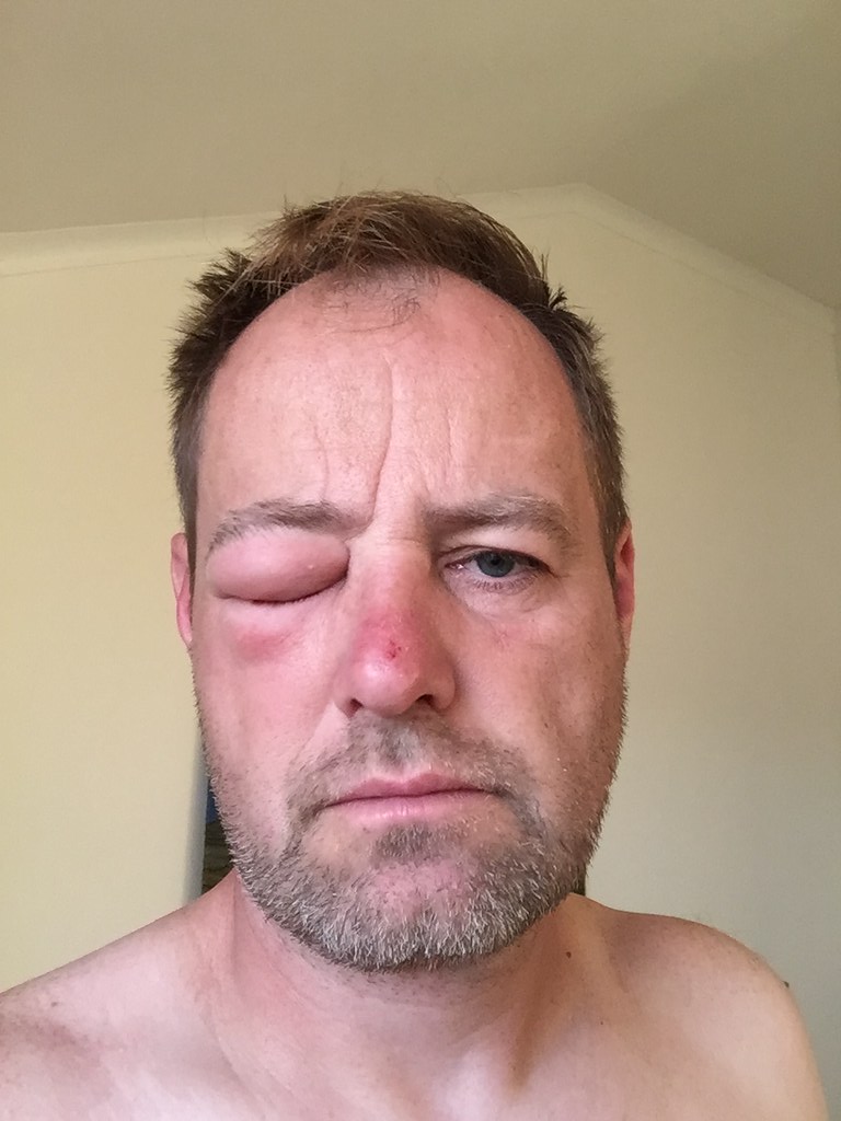
To add insult to injury about km from the lodge I got hit in the eye by bee/bumblebee or something such and got stung into eyebrow. I had my dioptric glasses on but my googles were on the helmet as I was riding slow most of the day. My eye has swollen properly and it took another day for the swelling to come down so that I could see again. Lesotho was really testing me properly this time. The lodge people just smiled seeing me coming back for a third time, after telling them  each time on departure that I'll be back in a week or so.


40953602792_7b0a33d3b9_b.jpg

 
Lesotho selfie as a pirate  >:D .  >:D

Keep it coming - what camera do you use?
 
Loving this xpat. :ricky:

Solo trips in Lesotho is quite epic I must say.
We can see that is your happy, smiley face. ;D
 
Thank you  :thumleft:

[member=24301]wilfwalk[/member], [member=1308]BiG DoM[/member]: I use Panasonic TZ100  - for this second serving that is. All the prior pictures were from iPhone.
 
Xpat said:
Thank you  :thumleft:

[member=24301]wilfwalk[/member], [member=1308]BiG DoM[/member]: I use Panasonic TZ100  - for this second serving that is. All the prior pictures were from iPhone.

I suspected iPhone as that is what I have ended up using although I have a great little Sony Cybershot I must get back to using.  :thumleft:
 
Awesome read!  In my eyes you are a true adventurer and very brave man.  Just love it and want to say thanks for all your time and effort to record it here :3some:

(Trying to download the MAPOUT app but it requires a server name. Can't find anything as to what it could be,  Please assist if you can.  Tx)
 
Day 8

So after day off waiting for my eye to get functional again, I set-off next day for another attempt at crossing to Mohale dam. Unlike on the prior attempt few days back, I didn't rush in the morning, as I hoped that later start would dry a bit the ground from the prior day rain. So I set-off about nine-ish.

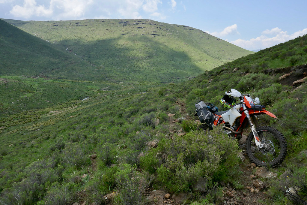
I've made it without glitch across the first smaller pass that stopped me few days ago becuase of the mud and into the valley from which I will have to climb the main range to connect to the cattle trail indicated on my iPhone application:


40943458441_74dfdfded7_b.jpg


40235004884_94cce1154f_b.jpg


Here, in the middle of the valley is the cattle track that I was to take to make it hopefully to the top of the range where I should be able to connect to the track running on top - supposedly based on my iPhone:


40235018494_3e916d2491_b.jpg


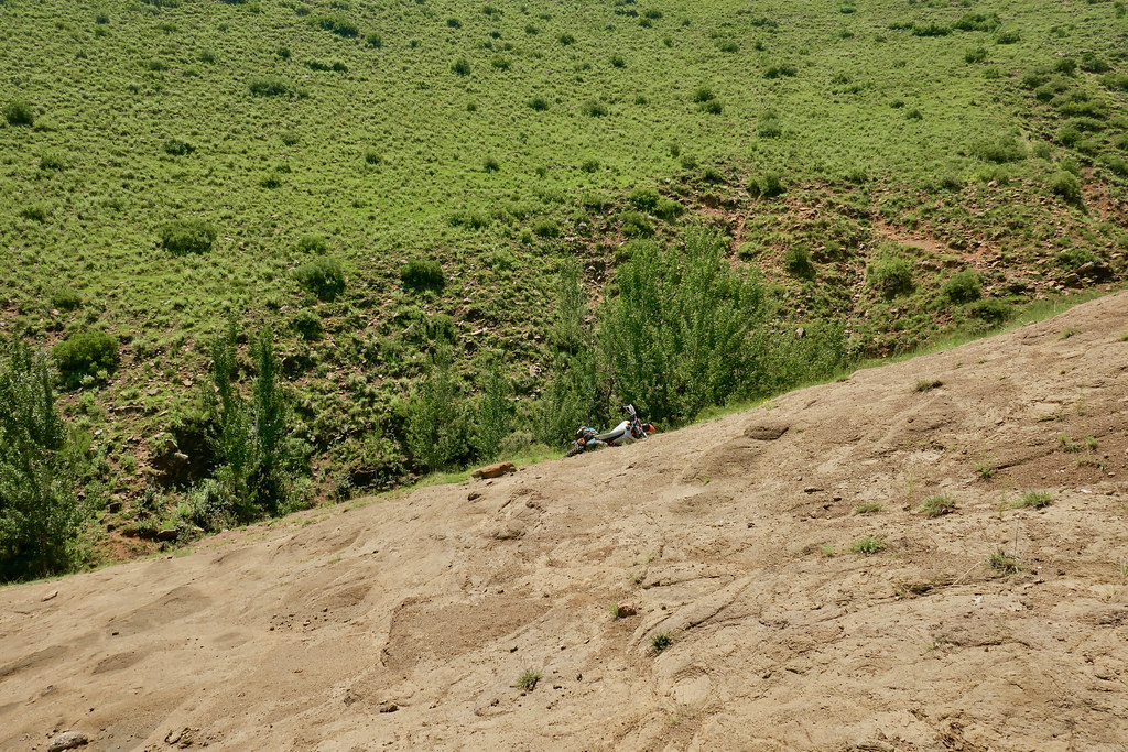
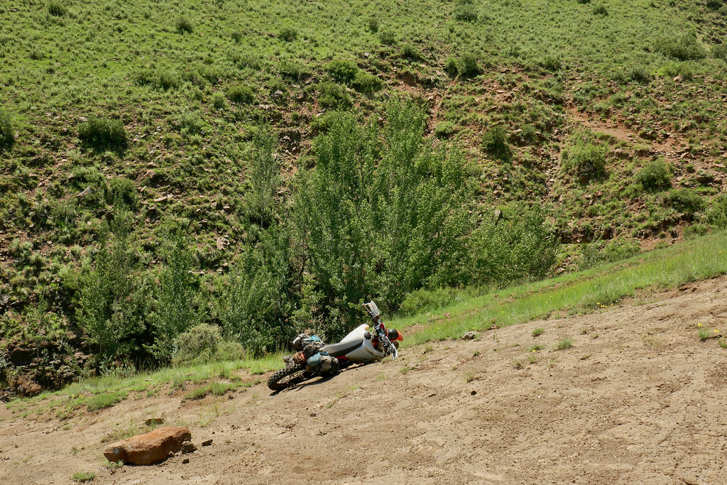
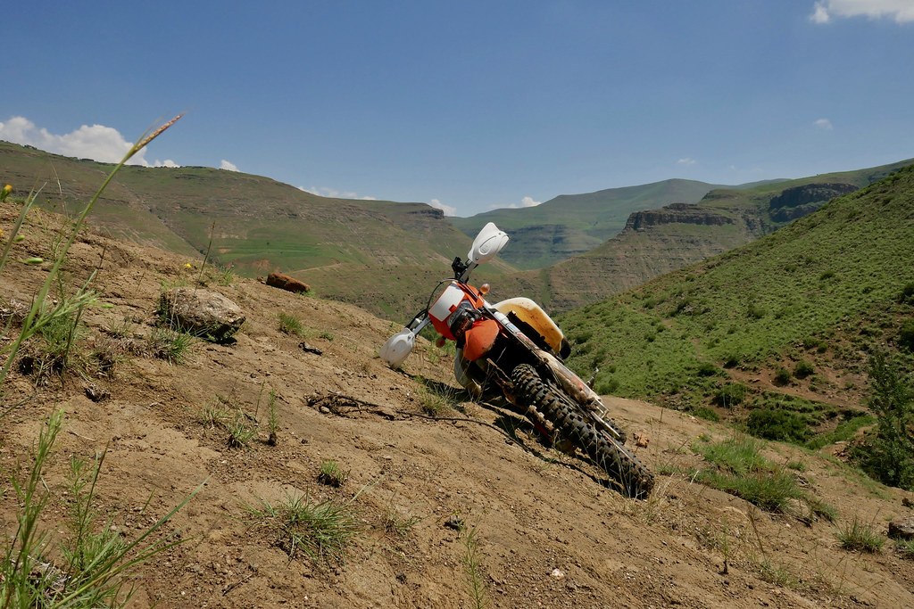
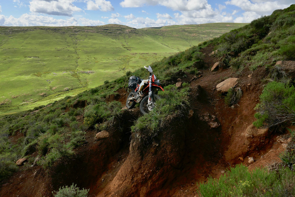
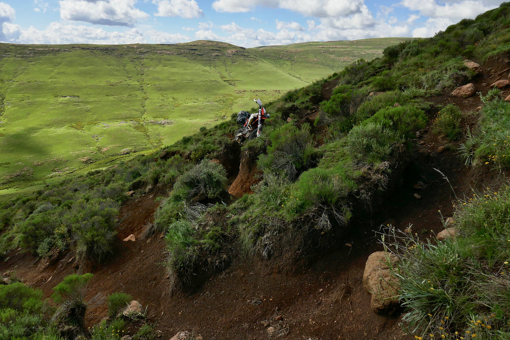
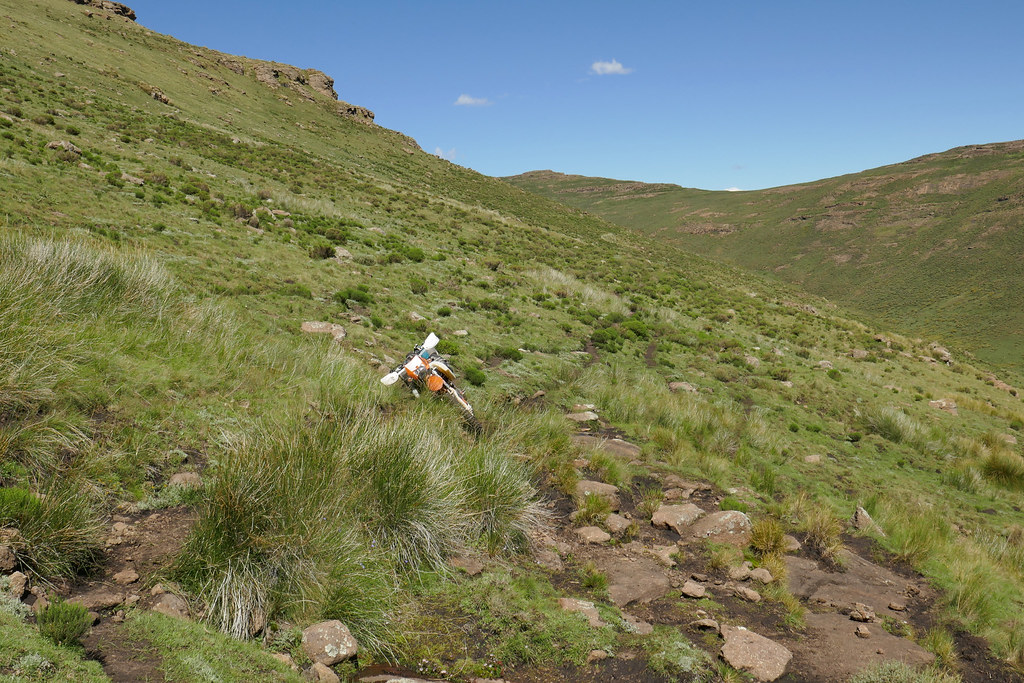
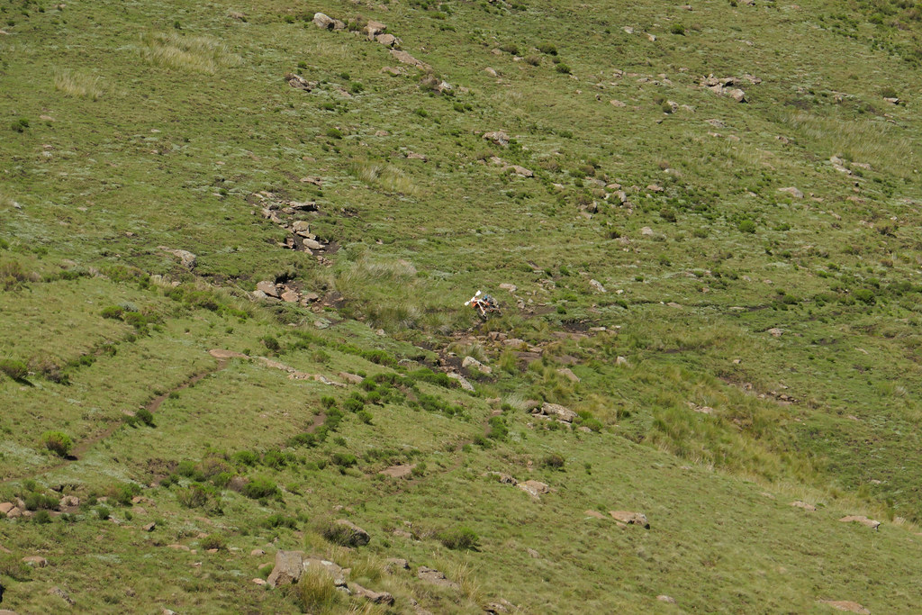
When I came level I had a good look again and set-off up the hill. On the bottom part I avoided the cattle track and rather just gunned it up to the left of the track all the way to the steeper top rocky section where I then connected to the trail to take much more measured approach. Idiotically the approach wasn't measured enough, I picked wrong line and instead of doing clever thing of just backtracking few meters until I would be able to cross into much better track, I just gunned it up, got stuck and spent next 30 minutes or so trying to disentangle myself again. Which I eventually did when the bike flipped on me and has fallen down going over handlebars. But I wasn't bothered by that stage as I was completely knackered - doing this kind of ju-jitsu at 3000 meters altitude has a way to take it out of you. The good news was that the only damage to the bike was broken registration plate.


39134056830_ce607fe939_b.jpg


26070841787_60acffd002_b.jpg


26070861427_0cd6599ba9_b.jpg


26070912517_8a8f8c6163_b.jpg


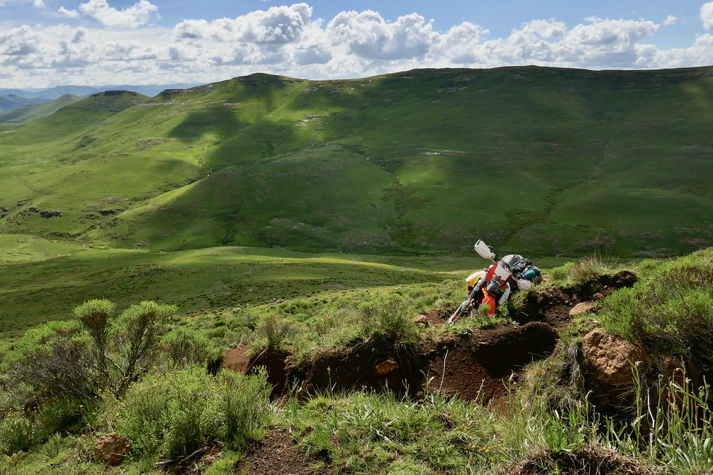
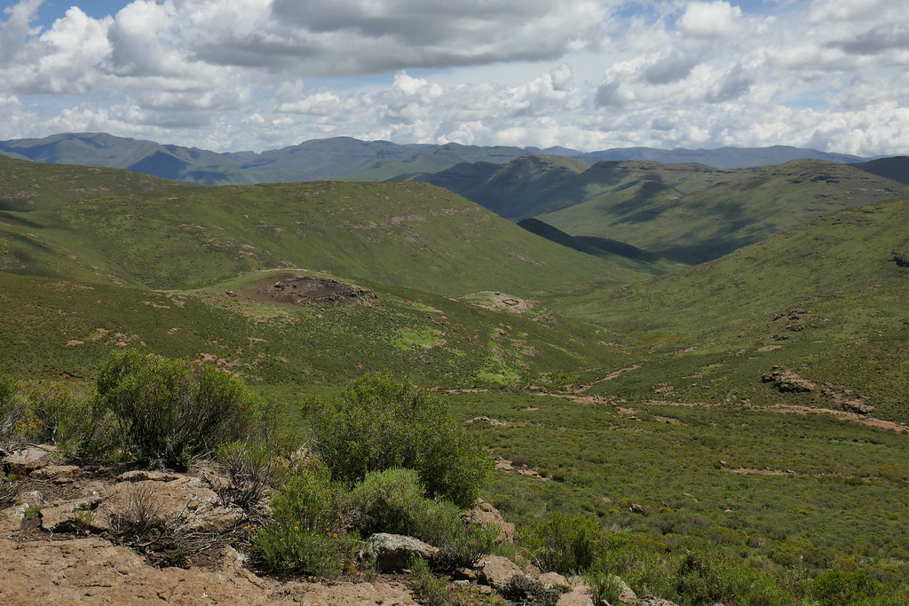
Trying to catch breath between my attempts at bike recovery I took some pictures of the scenery towards Katse dam sitting somewhere down there:


39134101160_98a3e49067_b.jpg


40943578351_d55e6b1da1_b.jpg


39134123310_b6aa187733_b.jpg


Once I got the bike into the right track and I recovered enough to be able to ride it, I made it with few cautionary breaks to the top of the mountain:


40943618051_8e2c28996b_b.jpg


26070941017_8d3278b228_b.jpg


40235149794_5d89e1ffd7_b.jpg


40943657331_0ddb873261_b.jpg


40943663731_25d63ff409_b.jpg


26070990827_dfcdec490e_b.jpg


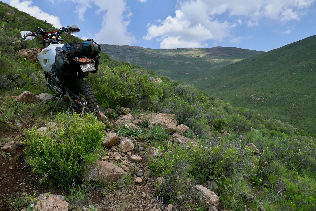
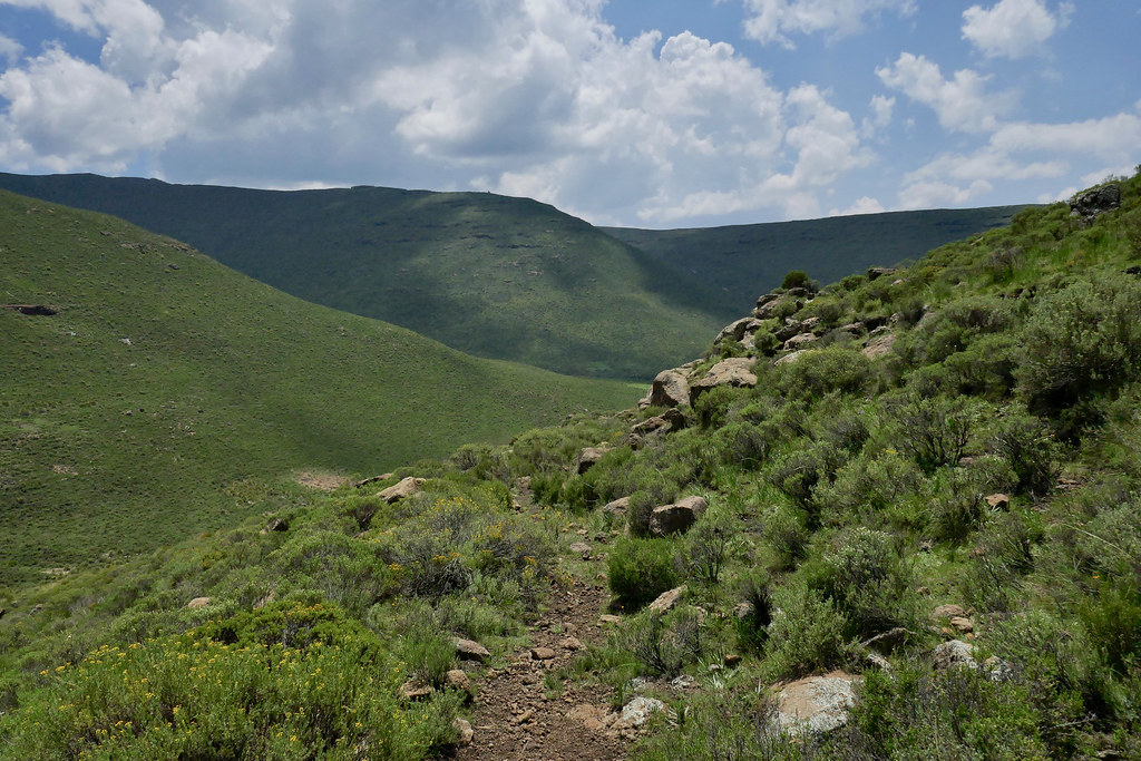
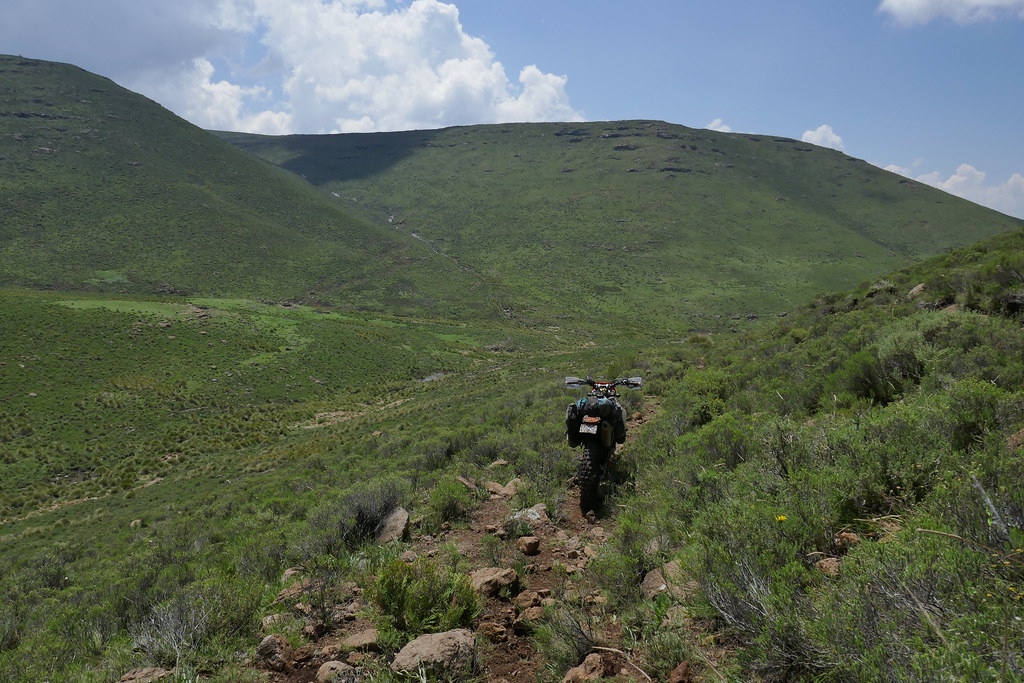
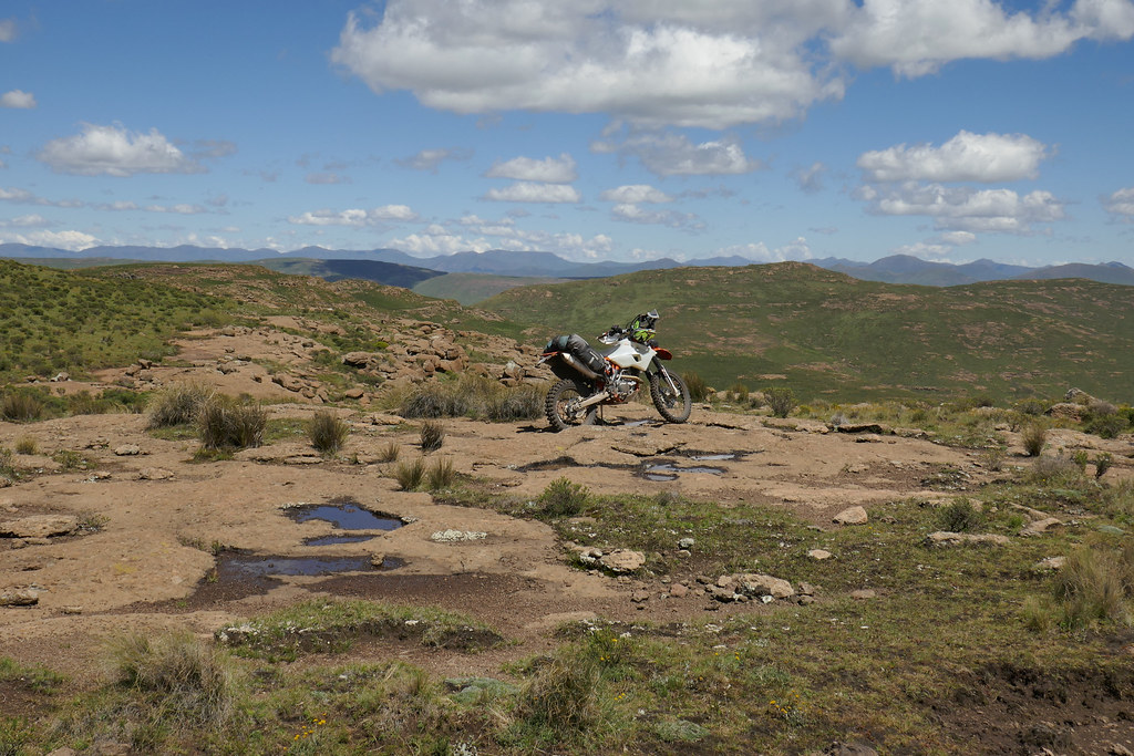
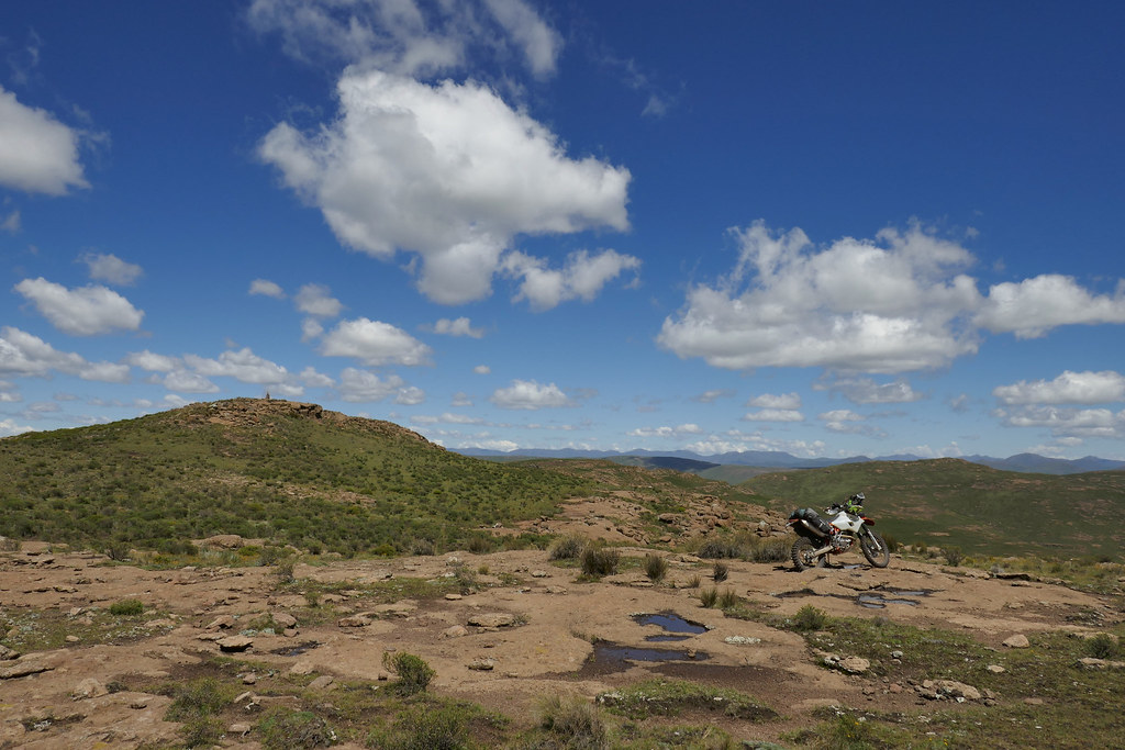
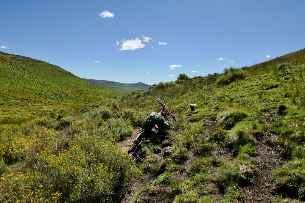
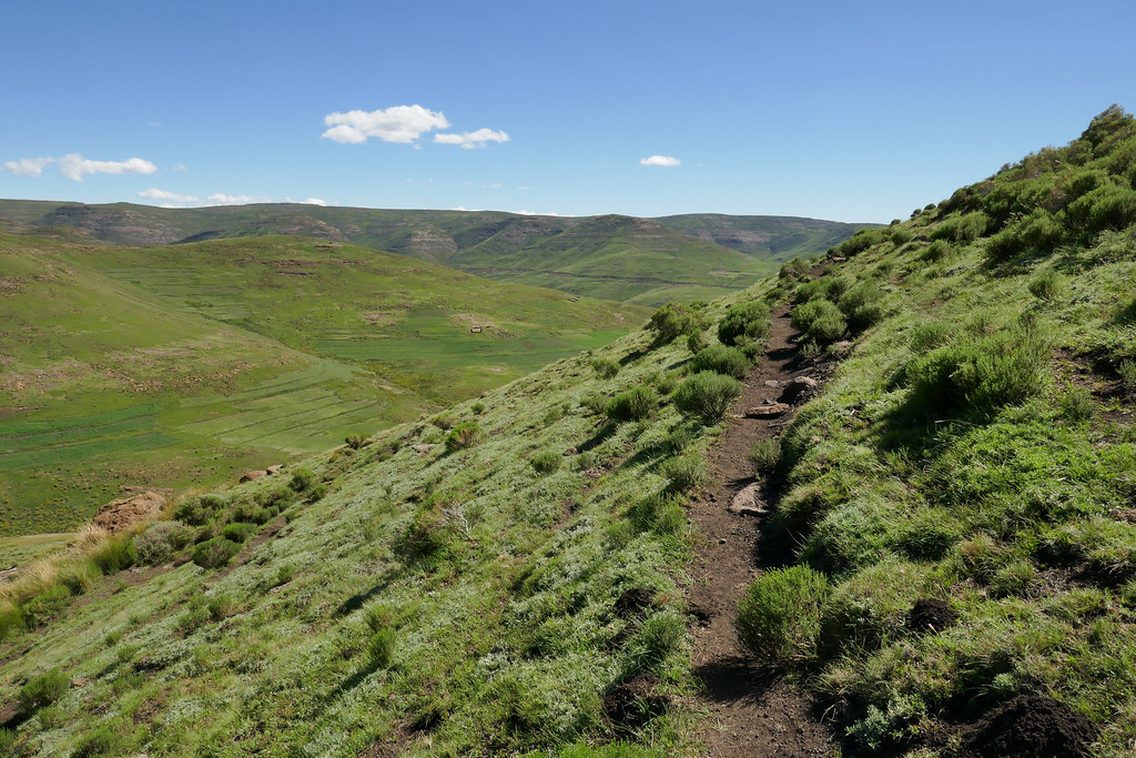
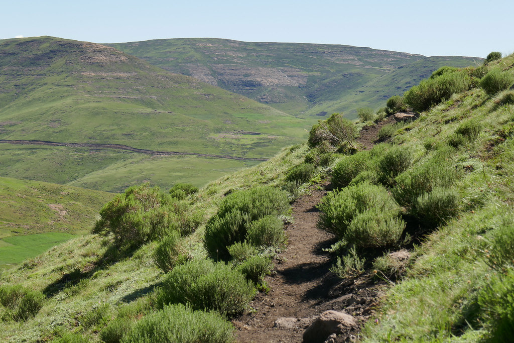
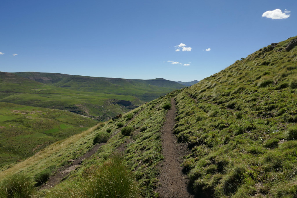
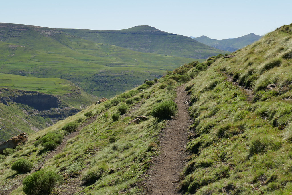
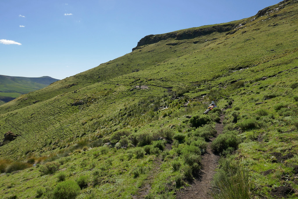
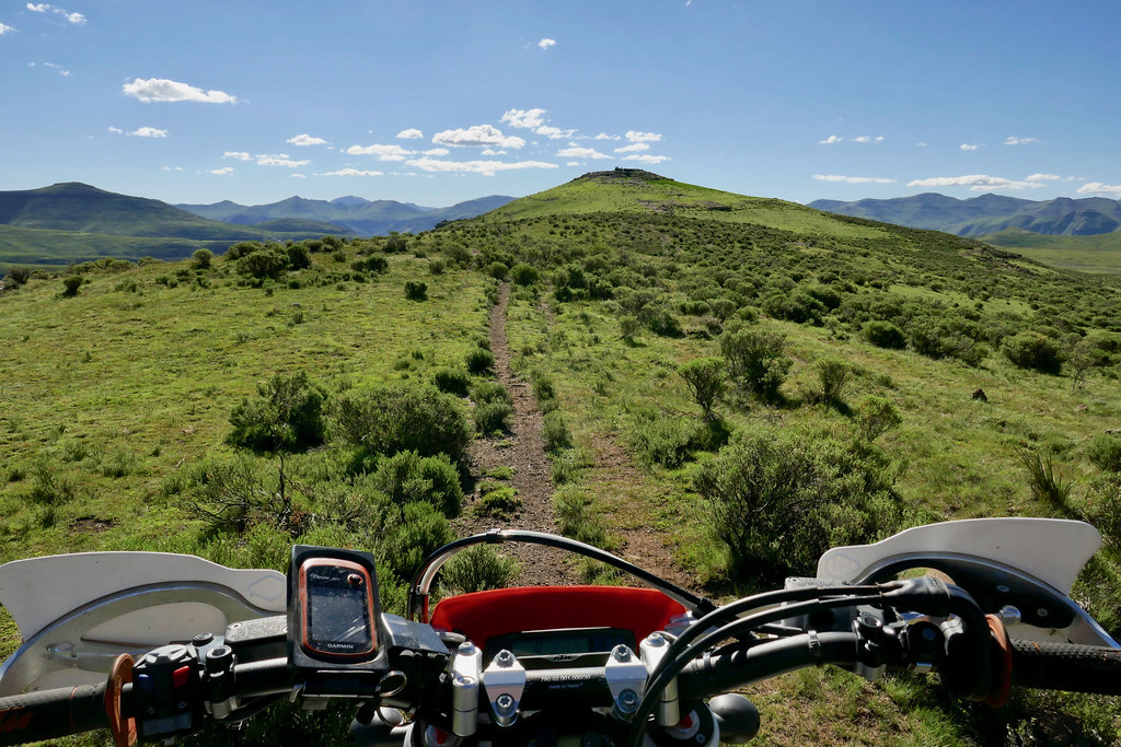
Once on top, the riding become much easier and I was able to follow along the top and fine eventually the cattle track the MapOut was indicating in about 2 km or so. The track continued east along the top of the mountains and as I expected was much easier than trying to follow the steep slopes down in the valleys:


39134207710_879cbd8f0c_b.jpg


39134198990_5db0283bde_b.jpg


27072598788_e391030a28_b.jpg


40235273824_2010f93615_b.jpg


40902031902_aaba562640_b.jpg


26071125797_7cc4b1c52a_b.jpg


I knew from the countour map on my iPhone that about half way through the track will descent into a valley and follow quite steep off-camber before it will again climb up on top. I planned to avoid it and rather try to find alternative staying on top all the time, but then I got lured into the valley as I was a road further on down the valley and thought I can get some easy pass there. It was of course big mistake - always stay on top!

Off camber track following the valley:

40943774651_7e8d1be220_b.jpg


40943780191_e0d7e87388_b.jpg


40235347744_bd114524ec_b.jpg


Down in the valley I came up on a ridge overlooking little settlement and I could see the road running on the opposite mountain range few km away. But there was no way for me to get there - at least reasonably safe one, so after wasting hour or two trying to see what I can find, I had to retreat back up the valley and tackle that off-camber track - which is the kind of riding in Lesotho that makes me most nervous:


40902129222_54d7a7a34d_b.jpg


26071190847_66c3864eda_b.jpg


40235391174_0485f20962_b.jpg


27072763568_e8798f3fee_b.jpg


Once back up in the upper reaches of the valley I tackled the off-camber. It was tiring process as I usually gunned it successfully straight up all the way to the high cattle tracks, tried the off-camber, but it become too much so rode down to the bottom of the walley (which wasn't flat either by any stretch of imagination) and repeated the whole process two more times. But I eventualy made it back to the top of the range, even though it involved about 100 meters of walking the bike through some sections I didn't have balls for. Could have saved myself few hours if I would have just stayed on top in the first place.


40049725845_170488b131_b.jpg


40902232432_42cf970a69_b.jpg


40943856101_b3c5fd6c29_b.jpg


40235497264_f73e88fd17_b.jpg


40235509974_71799b7e0c_b.jpg


39134407500_d4c0c4ec46_b.jpg


40943942701_fcf30ae2a0_b.jpg


39134451340_0da389d6c6_b.jpg


Luckily, once on top the situation improved dramatically. The top was flat and wide and pleasure to ride after the slow attrition game down in the valley. By now it was quite late and the sun started to set down so I pushed on sensing the success is close.


40235546884_18144d8640_b.jpg


26071421357_8105fe6f0a_b.jpg


26071431467_e190c96fd2_b.jpg


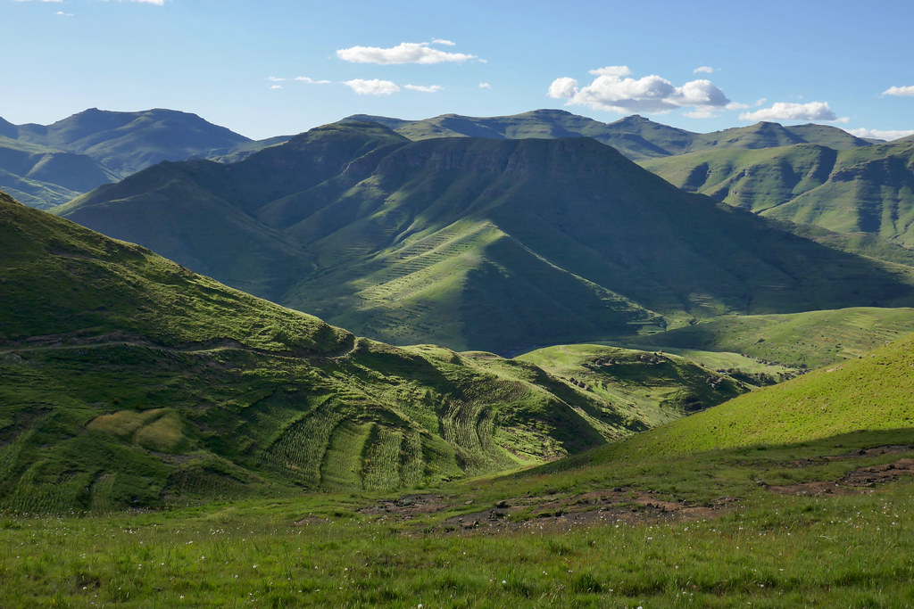
Setting sun provided for some stunning scenery thought, so I had to stop for few pictures along the way:


40944002101_2f4f03f66a_b.jpg


39134525750_09c9674e97_b.jpg


39134540410_413fe3f945_b.jpg


40944036291_191a261d0d_b.jpg


40902406052_6ab7c6b2bc_b.jpg


40902414902_ac52077873_b.jpg


40944077501_e124c6d4f5_b.jpg


40944087021_6d012097e6_b.jpg


39134606580_8660f83071_b.jpg


When I approach the end of the range, I was pleased to see that there is actually road heading down to the Senquanyane valley, as this was in my estimate the last serious obstacle between me and medium rare fillet at Mohale dam lodge - i.e. getting down to the deep valley and connect to Losper's track heading down the valley to the dam. It was quite late but the inner gastro tourist was now in full control so I pushed on to make it to the nice bed and fillet about 30  km away as the crow flies. In the retrospect, I should have just camped up on the top and enjoy the scenery, as the track down in the valley proved much more challenging than I expected and the road down to the valley was steep and badly washed out:


27073046378_d13a1469ff_b.jpg


40235724814_dc736ffebe_b.jpg


26071577797_2afa826a0e_b.jpg


40050014755_93d4735c91_b.jpg


39134658320_2958444669_b.jpg


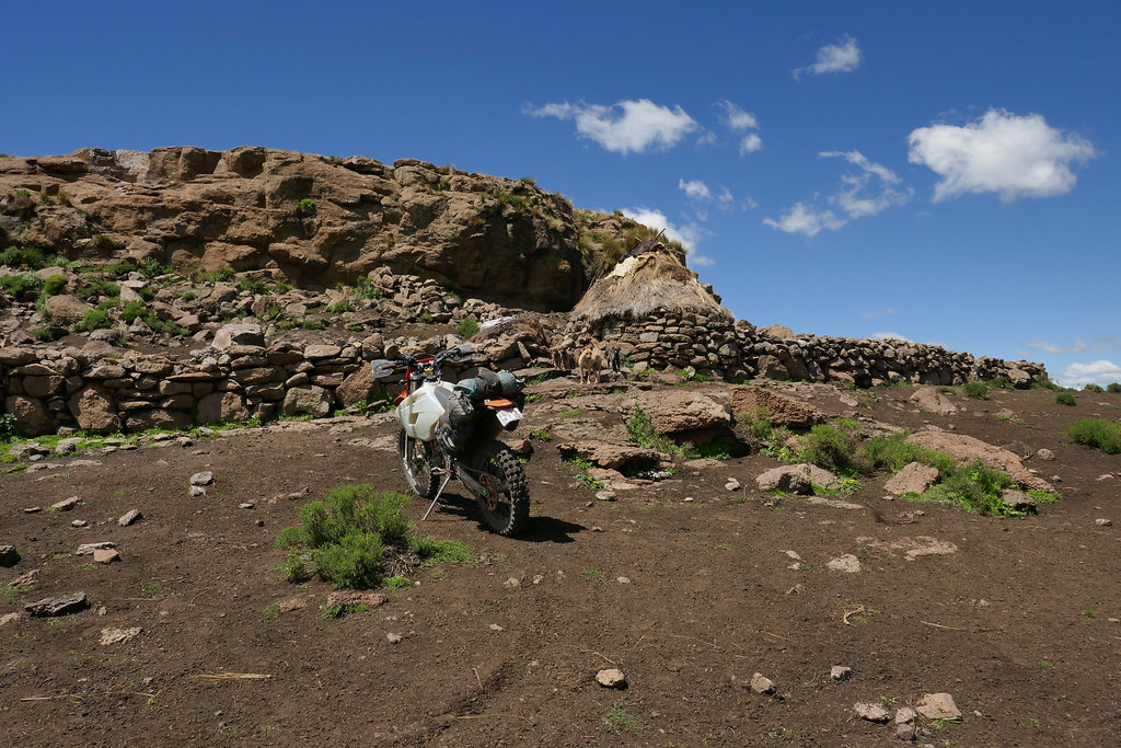
It took me a while to get down in the valley which by now was in deep shadow and I gunned it down the valley as fast as possible on rough double track crossing the river few times after carefull reconnaisance (not keen to exchange filet steak for extracting water out of KTM cylinder) which I fully expected to turn into proper road every minute. It didn't, and I was running out of time, especially as I got lost once quite badly and it took me good 20 minutes to get back on track again. Eventually almost in darkness after one particularly hairy river crossing I came upon a section of very steep badly washed our road, where I got stuck, which finally wiped out that fillet steak from my mind. There were some locals millingi around who showed me way across the river and they told me I will have to sleep there - which I was very much aware off as the road was horrible and it was complete darkness. They invited me to stay with them, but that would involve crossing the river back to the other side so I thanked them and rather to just sleep out at the bottom of the mountain next to the river. It was very cold and quite uncomfortable night, but nothing extreme, so in the morning I was ready to finish the job.


39134663680_db7ce84a91_b.jpg
 
BiG DoM said:
Xpat said:
Thank you  :thumleft:

[member=24301]wilfwalk[/member], [member=1308]BiG DoM[/member]: I use Panasonic TZ100  - for this second serving that is. All the prior pictures were from iPhone.

I suspected iPhone as that is what I have ended up using although I have a great little Sony Cybershot I must get back to using.  :thumleft:

iPhone doesn't have a zoom (at least real one - the digital one is crap) and I find zoom very usefull for landscape pictures.
 
Hondsekierie said:
Awesome read!  In my eyes you are a true adventurer and very brave man.  Just love it and want to say thanks for all your time and effort to record it here :3some:

(Trying to download the MAPOUT app but it requires a server name. Can't find anything as to what it could be,  Please assist if you can.  Tx)
Thank you  :thumleft:

To what device are you trying to download MapOut to? I don't have it on computer and am not sure it works on one, but I have it on iPhone and iPad (i.e. mobile devices that work differently in terms of applications than computers), where I downloaded it from AppStore as any other application there. I'm not sure it is available for Androids, but would expect it is.
 
Xpat said:
Hondsekierie said:
Awesome read!  In my eyes you are a true adventurer and very brave man.  Just love it and want to say thanks for all your time and effort to record it here :3some:

(Trying to download the MAPOUT app but it requires a server name. Can't find anything as to what it could be,  Please assist if you can.  Tx)

Thank you  :thumleft:

To what device are you trying to download MapOut to? I don't have it on computer and am not sure it works on one, but I have it on iPhone and iPad (i.e. mobile devices that work differently in terms of applications than computers), where I downloaded it from AppStore as any other application there. I'm not sure it is available for Androids, but would expect it is.
Downloading it to my Sony mobile, Android

Sent from my E6653 using Tapatalk

 
Top