Our first trip longer than a weekend, from Melkbosstrand to the Eastern Freestate, stay there for Christmas, then on to the Northern Cape and back home again.
Day 1, at last...
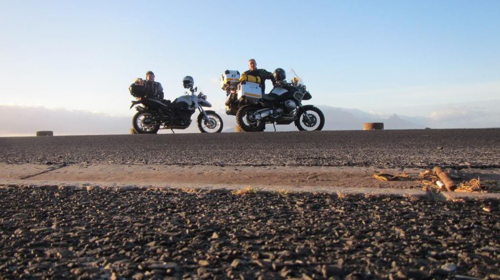
06:00 two bikes leave Melkbos on a long awaited holiday.
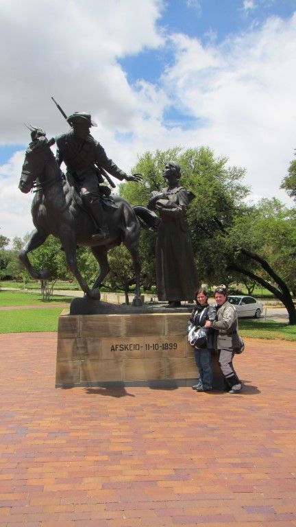
A quick stop in Blouberg for a customary start-of-trip photo with Table Mountain in the background
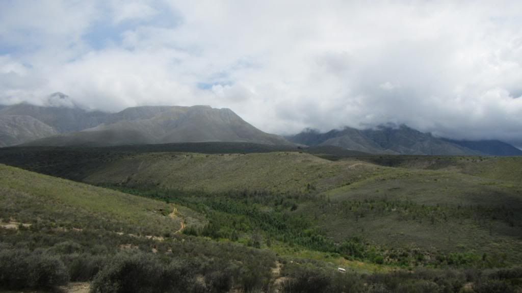
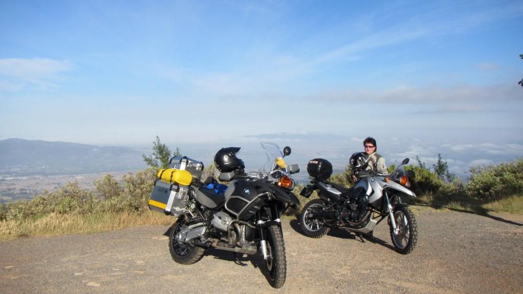
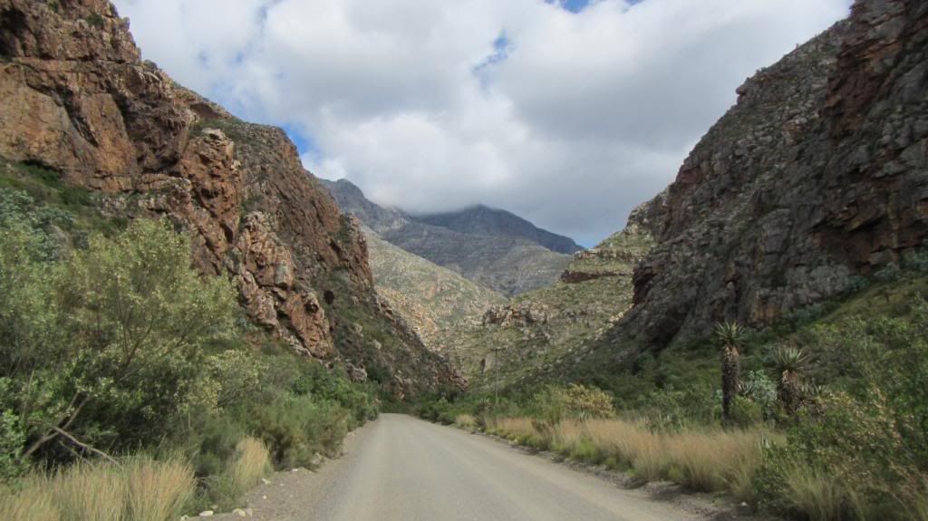
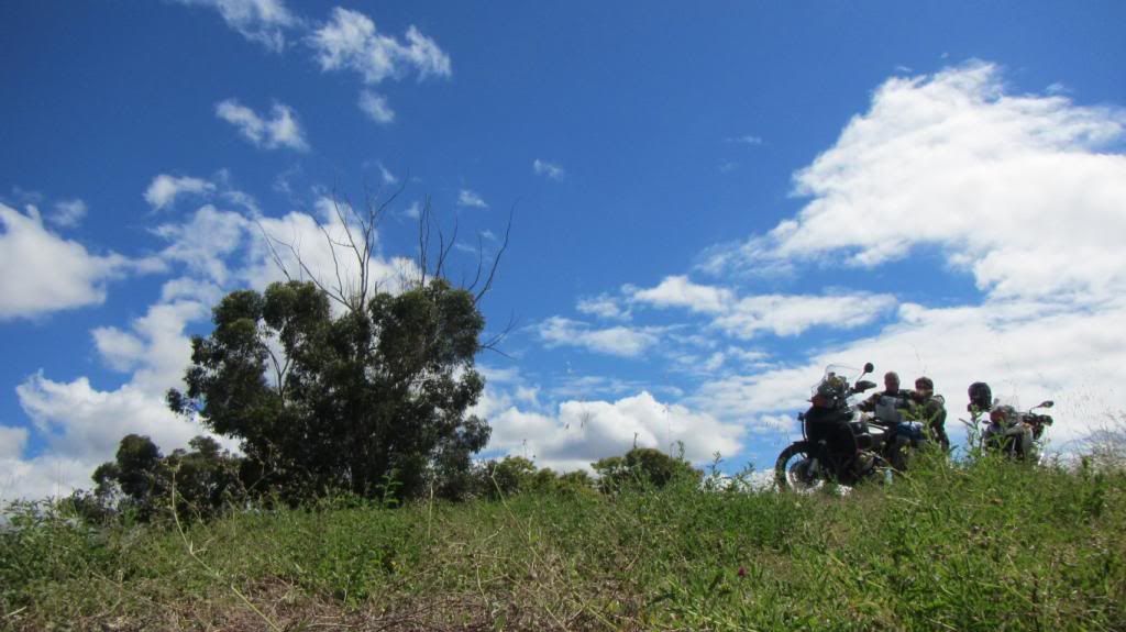
First stop on Du Toits Kloof, Cape Town now behind us, things are feeling real now ;D
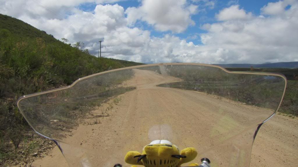
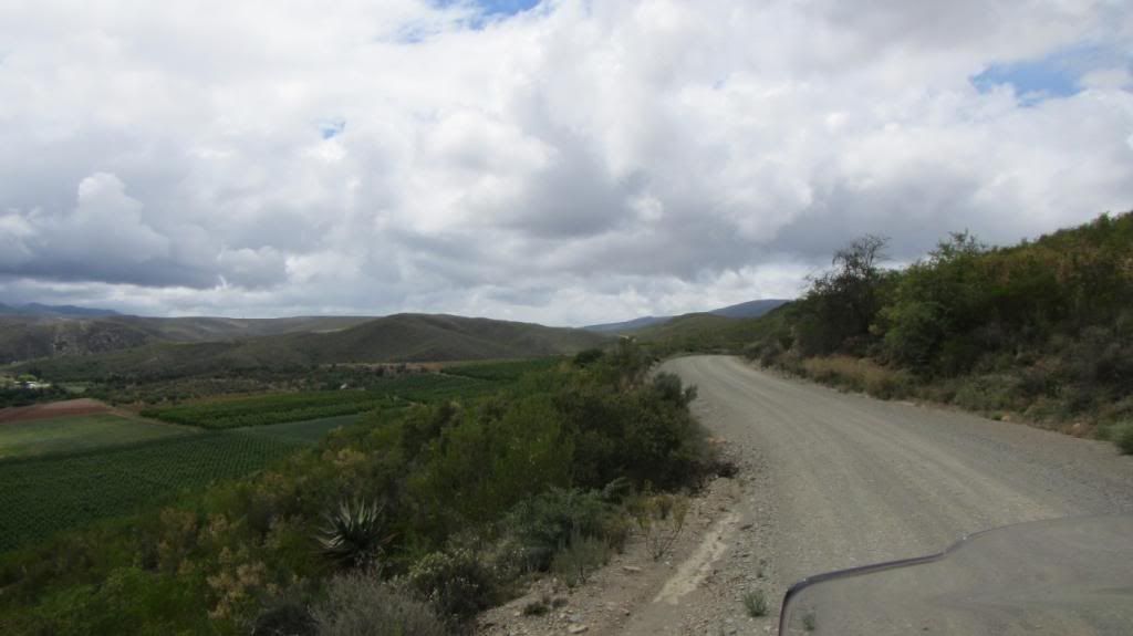
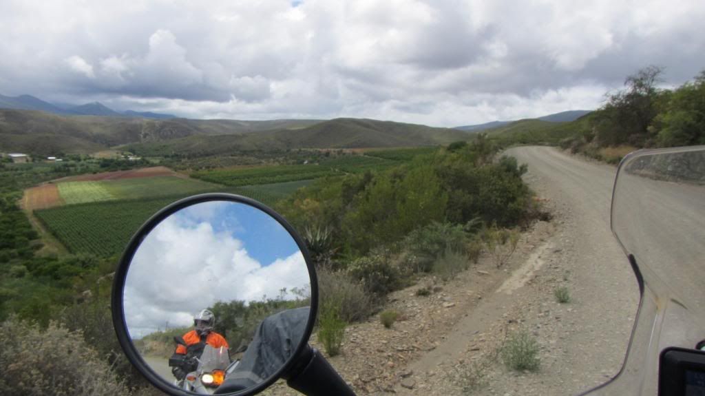
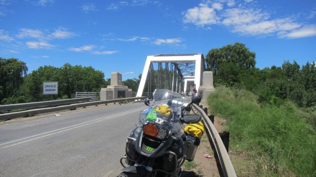
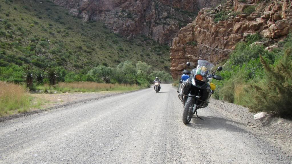
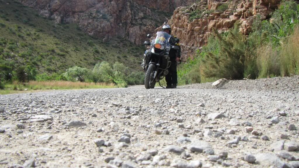
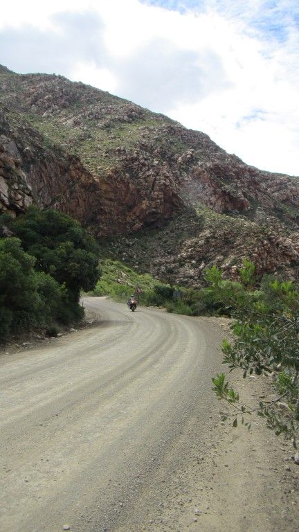
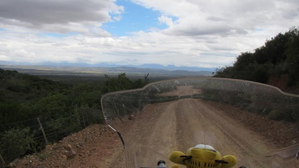
From here we hit tar, not fast but with a purpose.
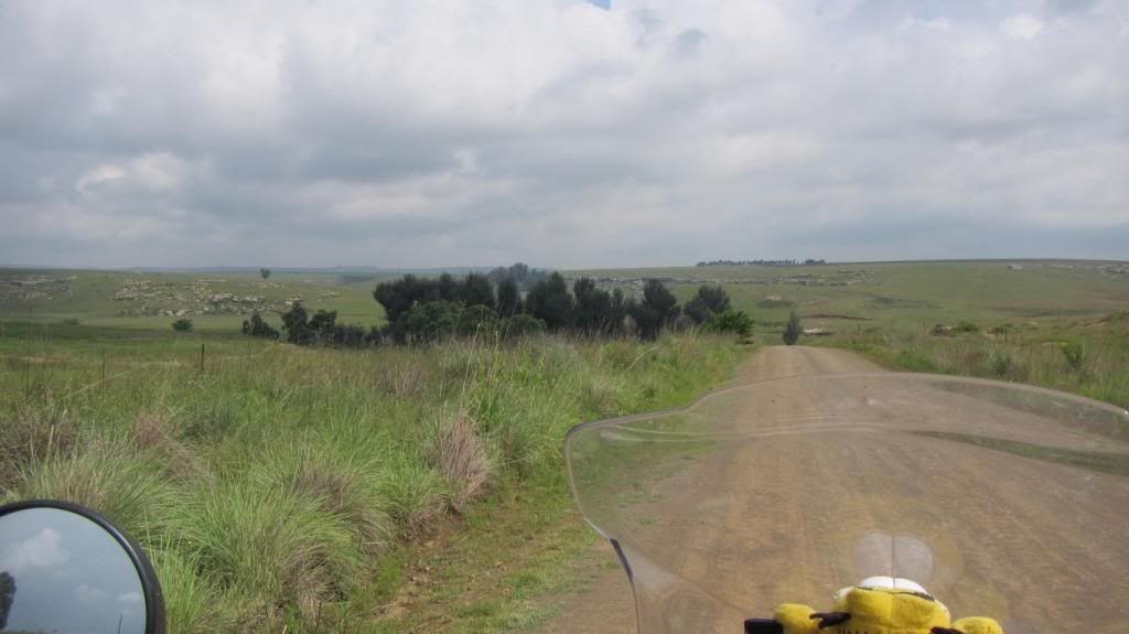
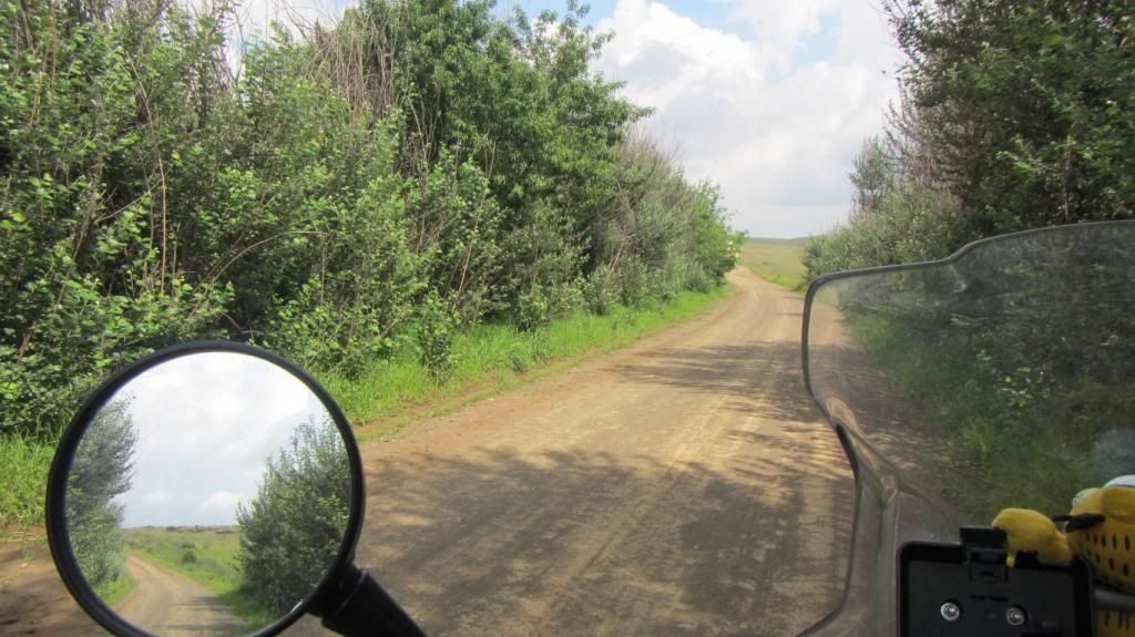
The idea behind day one is to not spend too much time in places we go to often, or on roads we ride most weekends, so we slab it, destination for the day, Koedoeskloof.
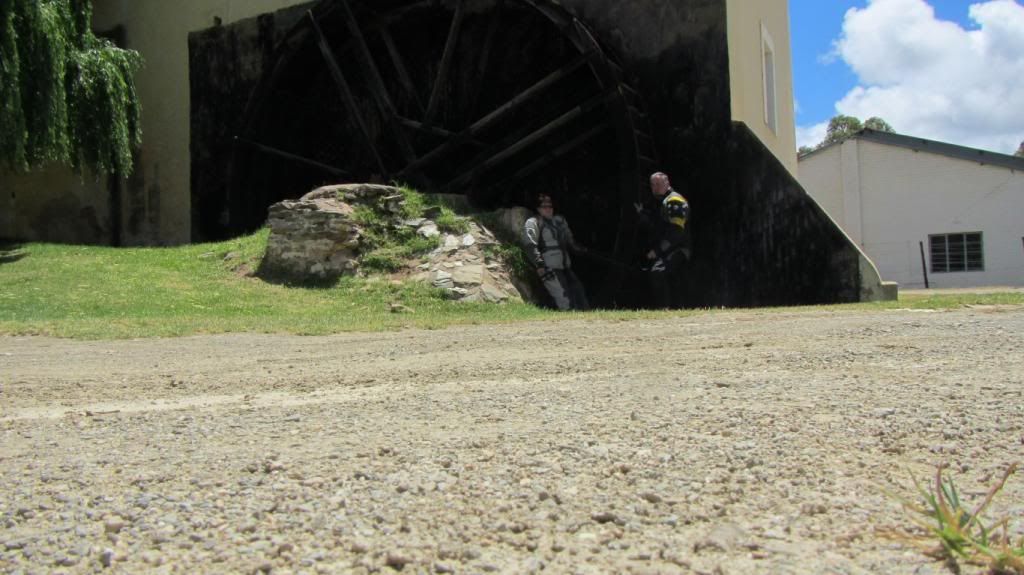
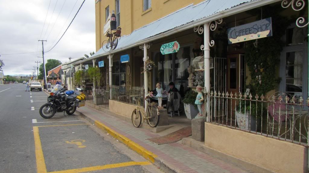
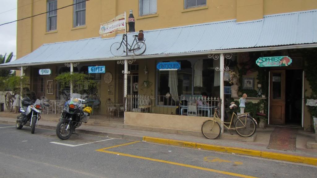
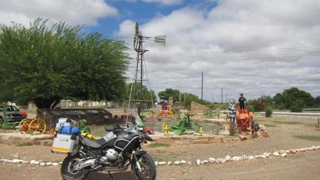
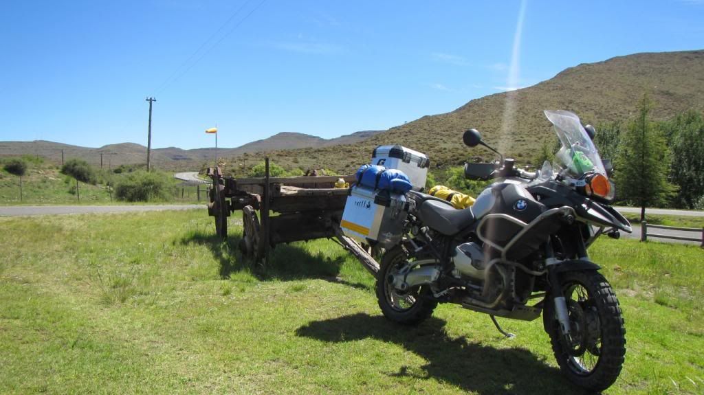
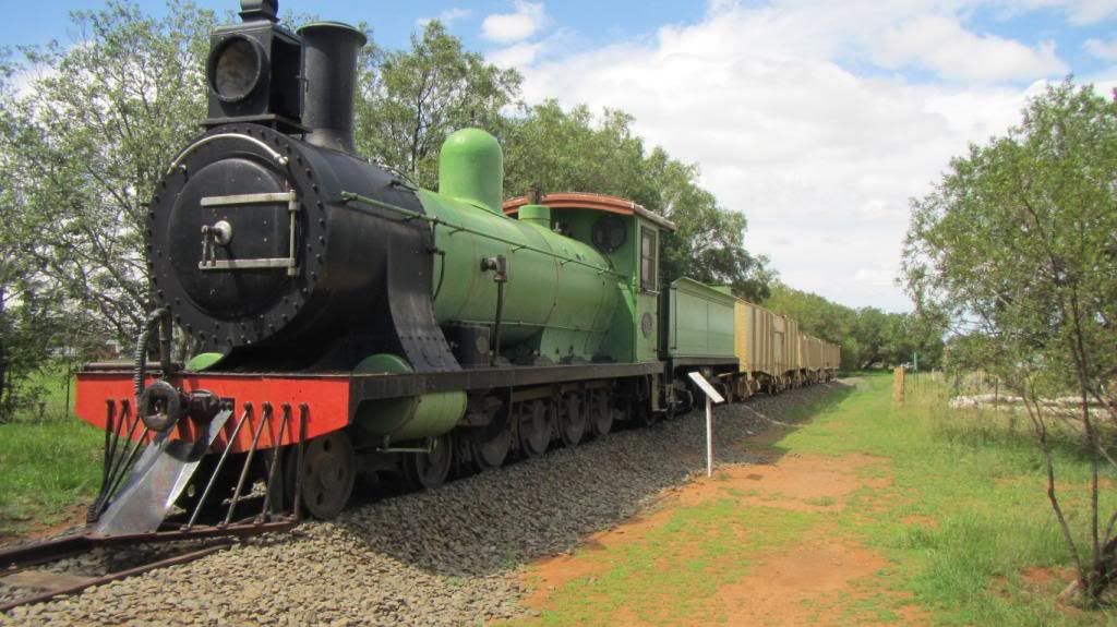
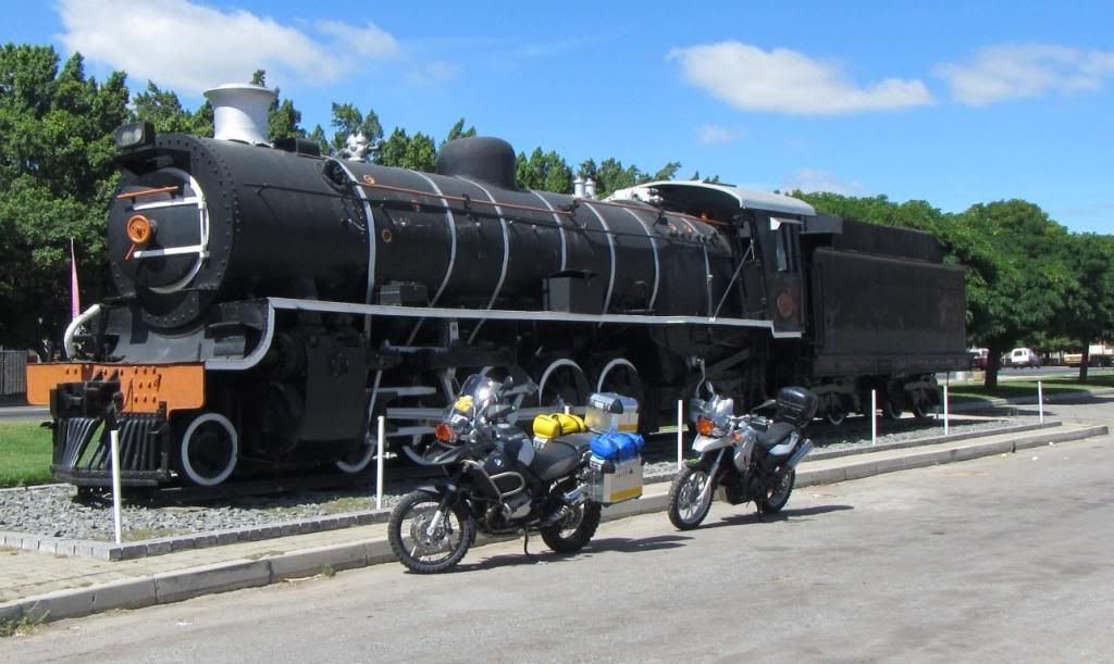
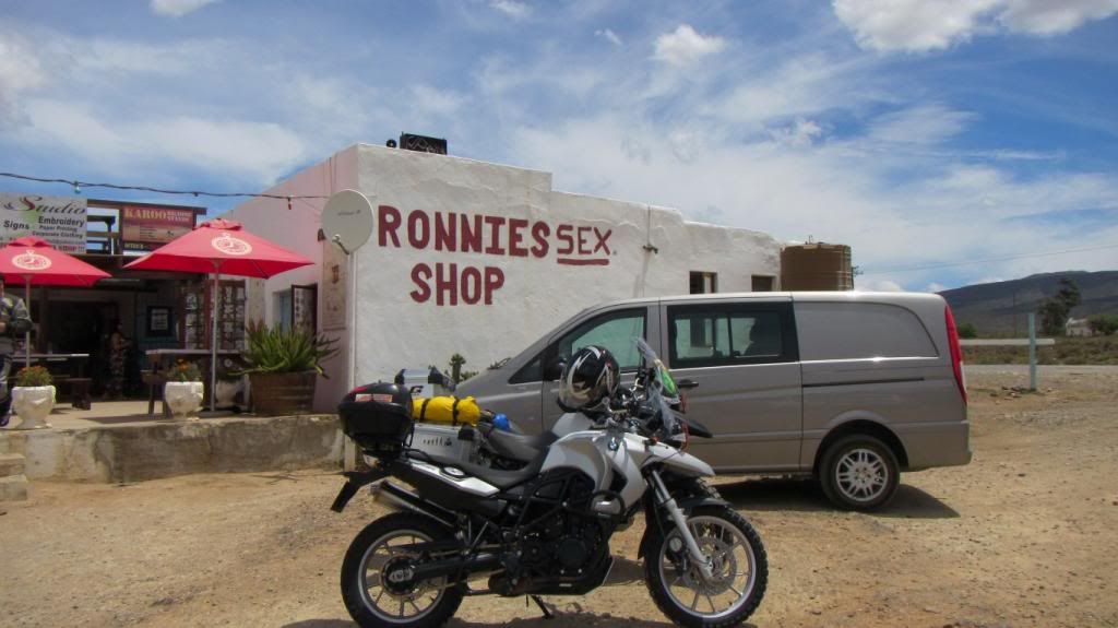
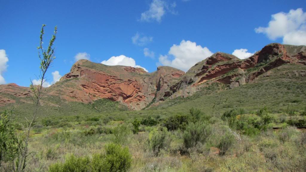
In Ashton we at last find a mode of transport (land based) bigger than a GSA.
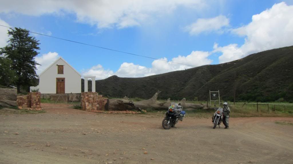
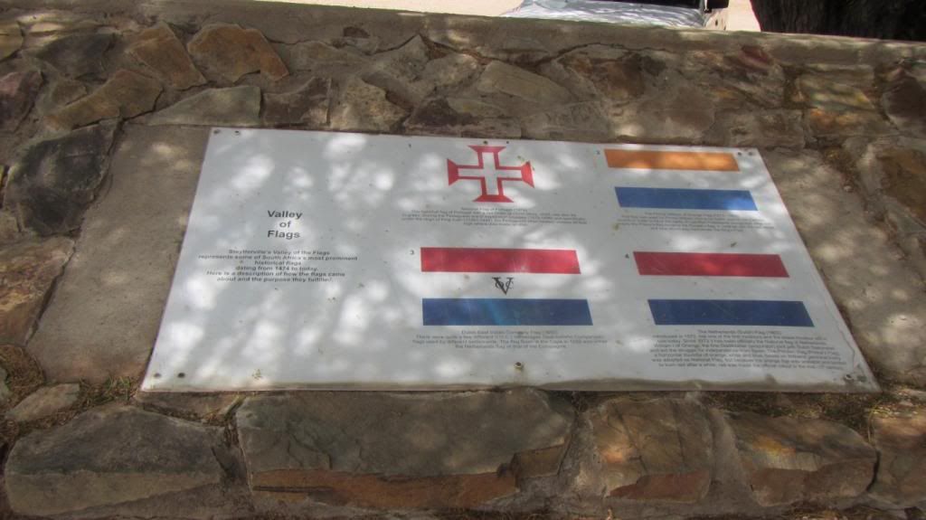
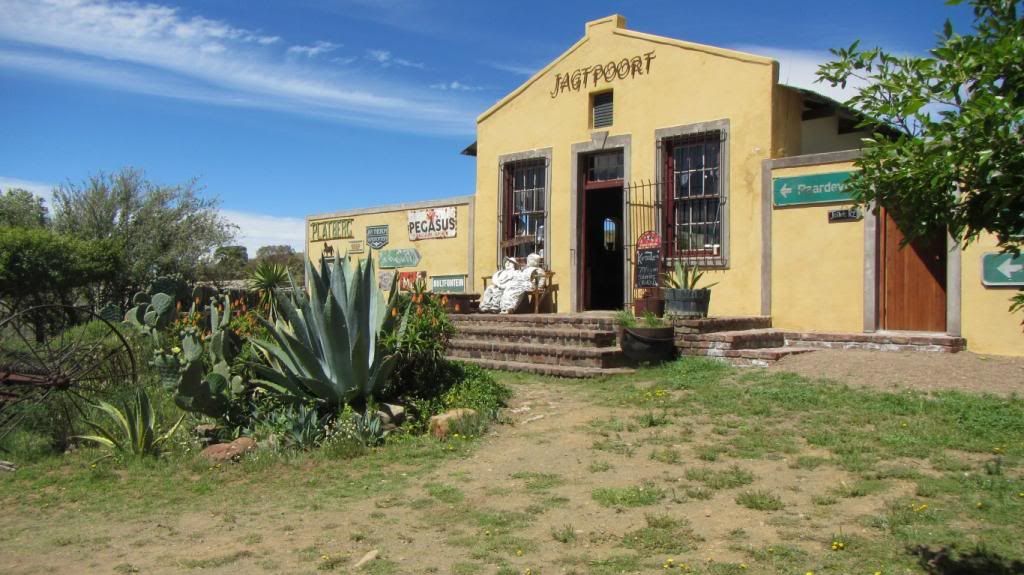
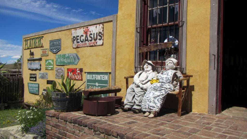
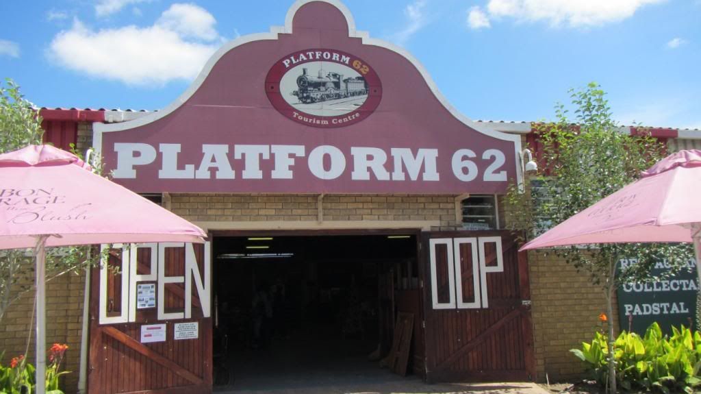
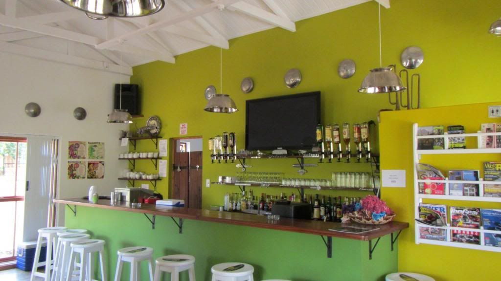
We have not been here before, Platform 62, and promptly get pulled into a brandy tasting with an awesome chat about the making of brandy, well worth it (even before 10:00)
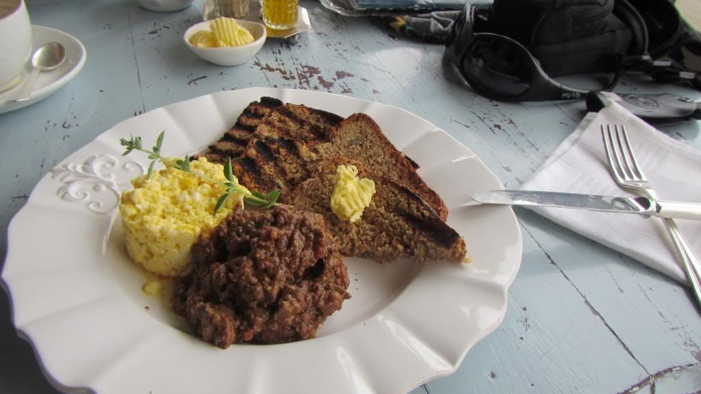
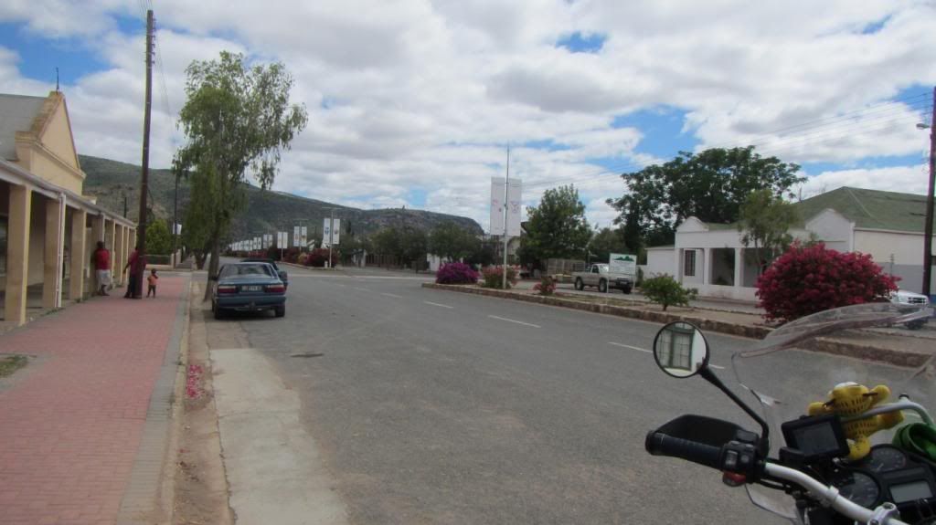
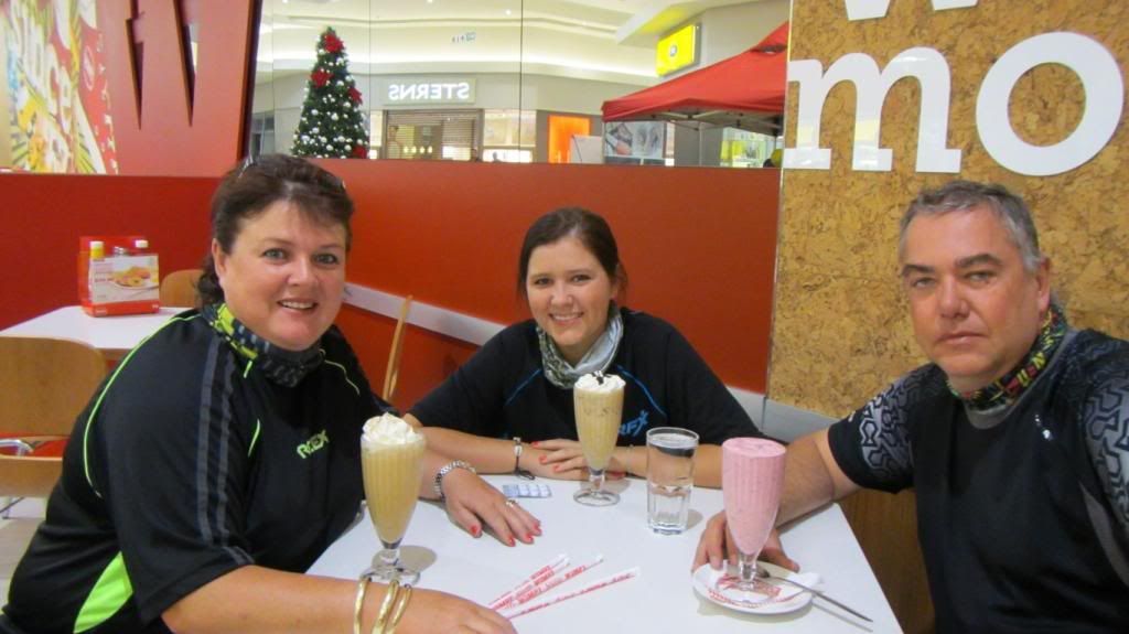
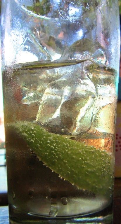
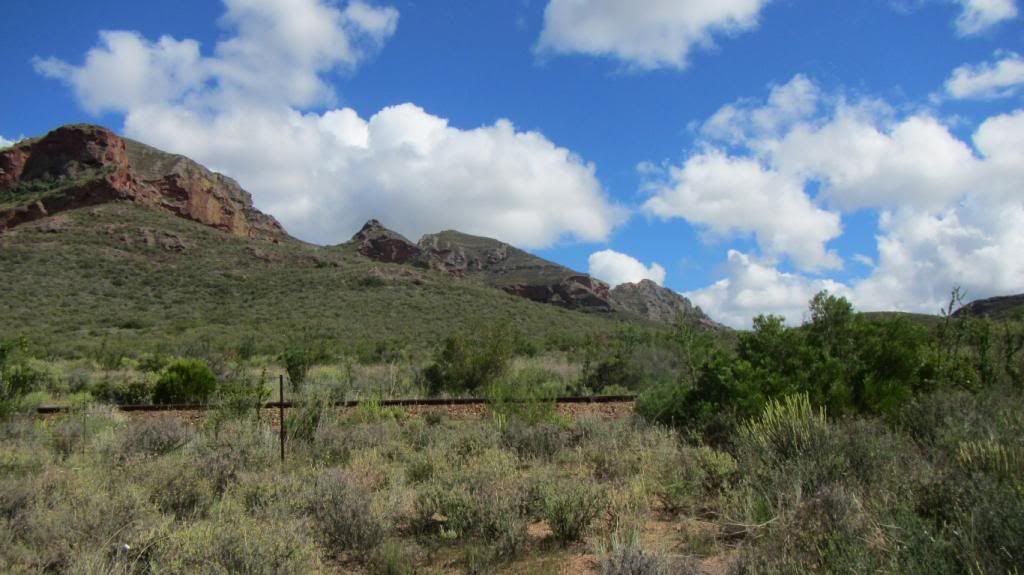
From here it is through to Montagu for the first refreshment of the day after the Wimpy breakfast in Worcester - around 28 degrees outside by now.
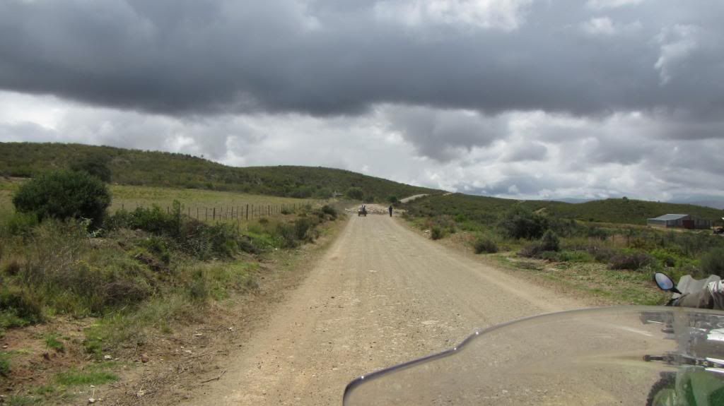
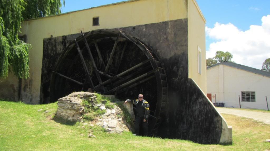
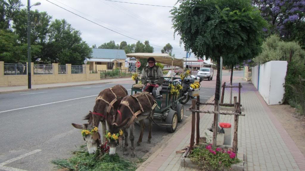
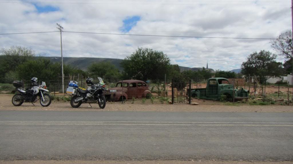
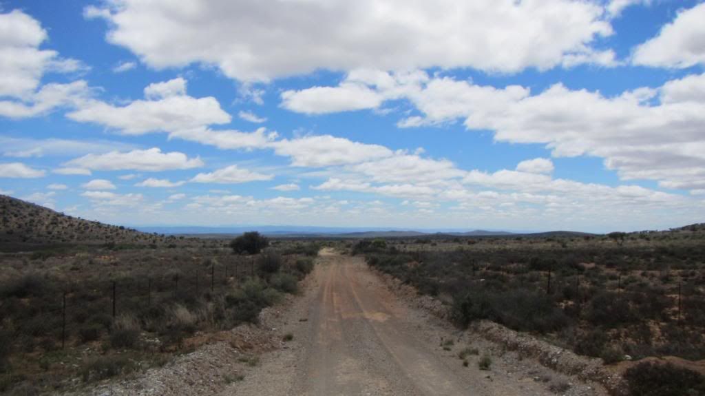
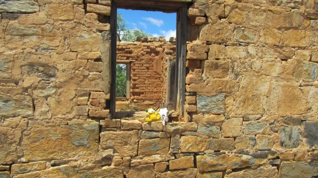
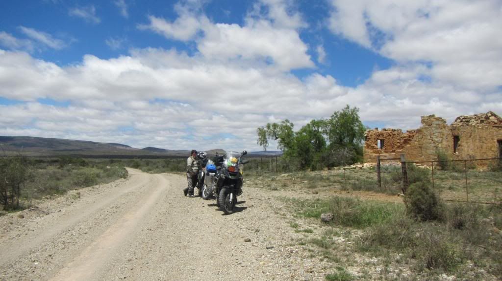
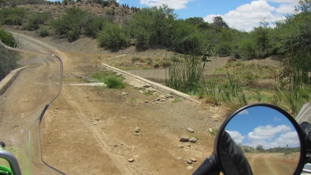
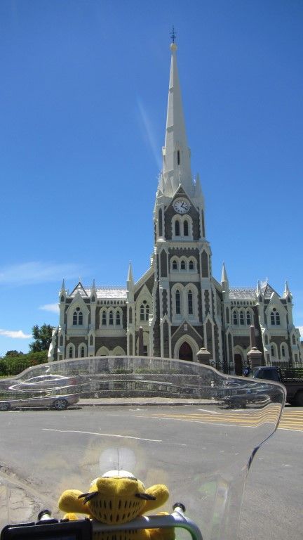
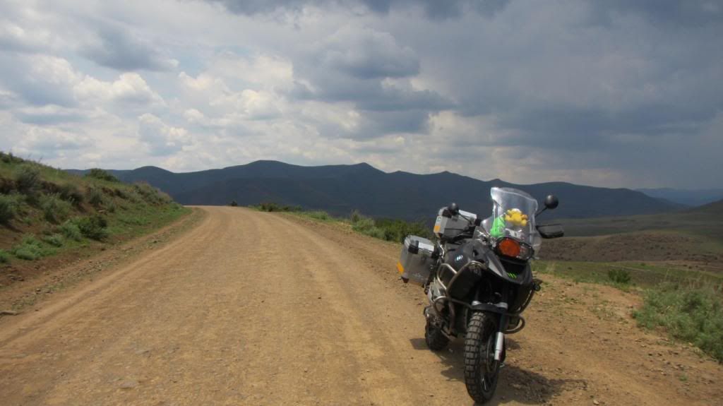
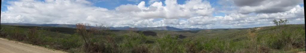
After this, more tar, quite boring but still heading away from work, a quick stop at two well known places, the first of which have changed owners (and lost its character in the process in our opinion), the second one still just the same.
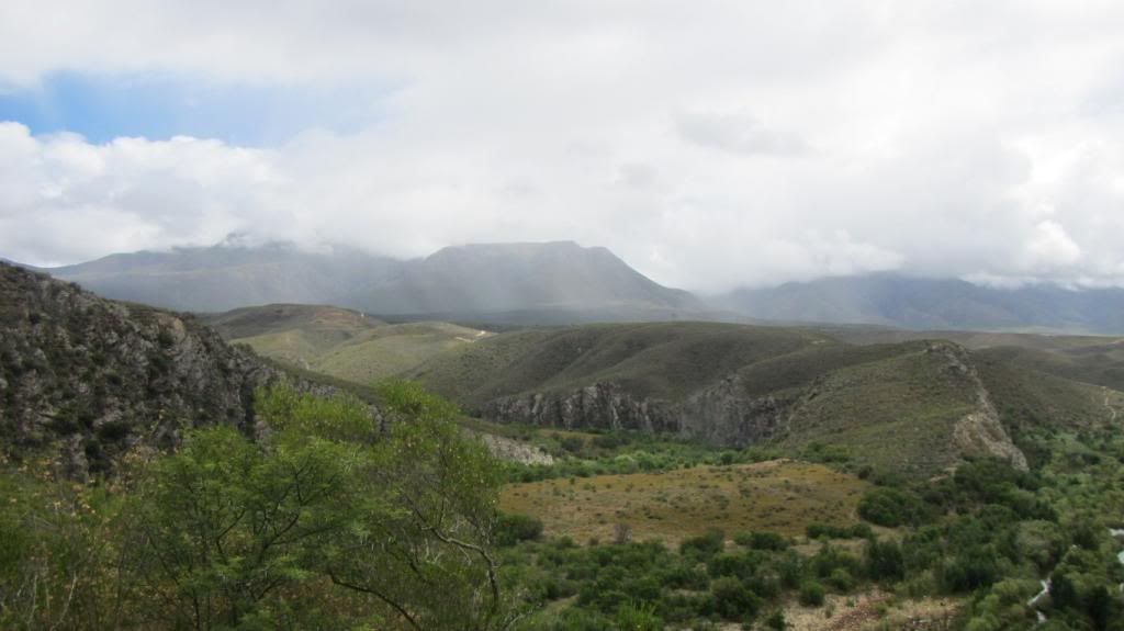
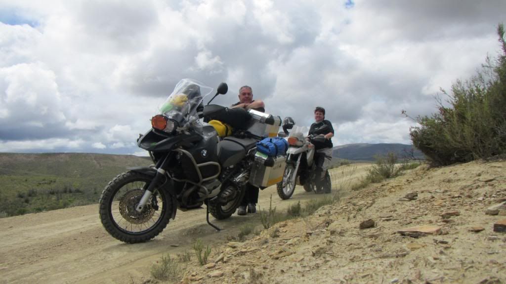
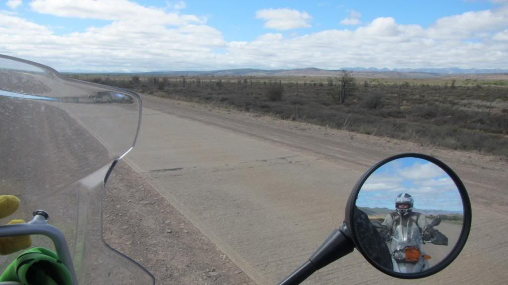
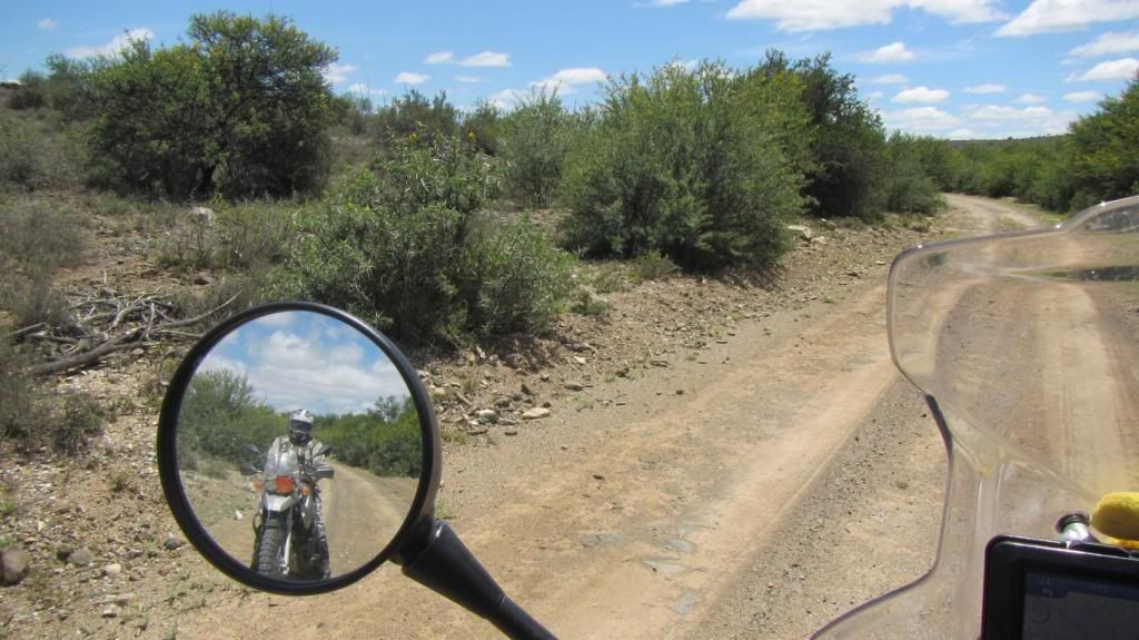
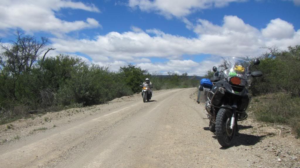
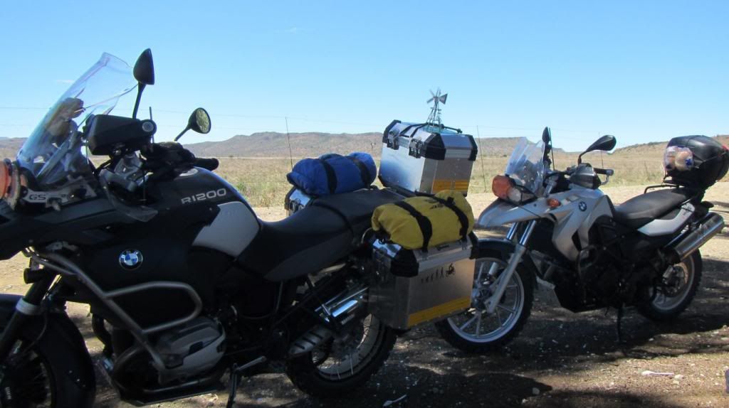
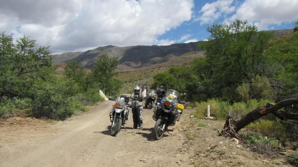
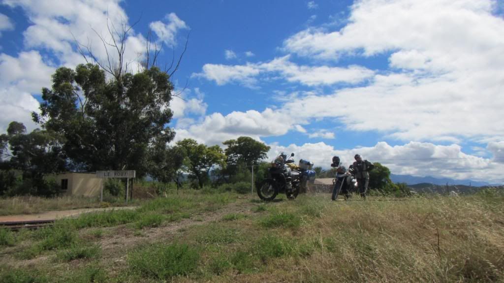
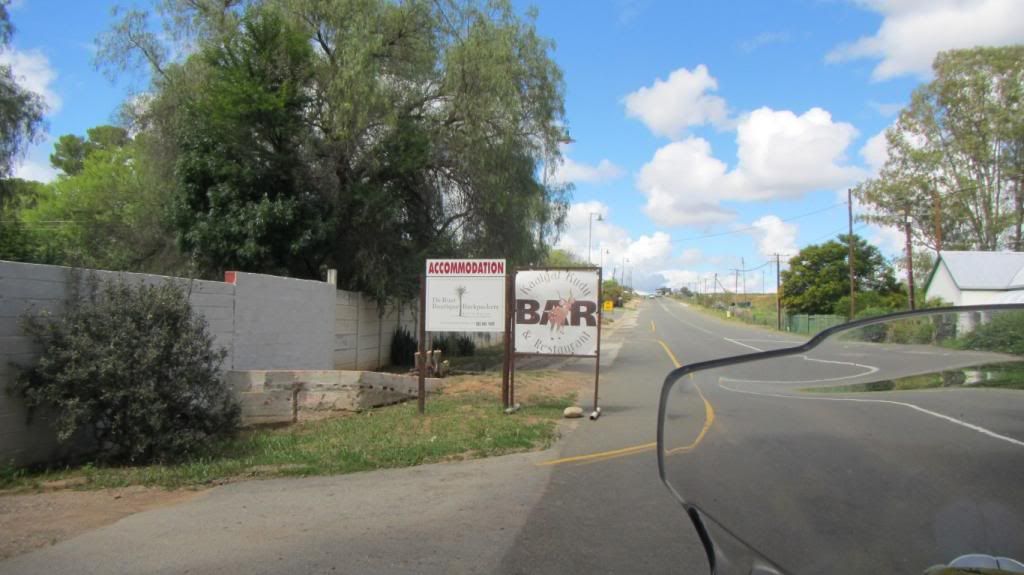
And from there we ride through to Koedoeskloof, our destination for the day.
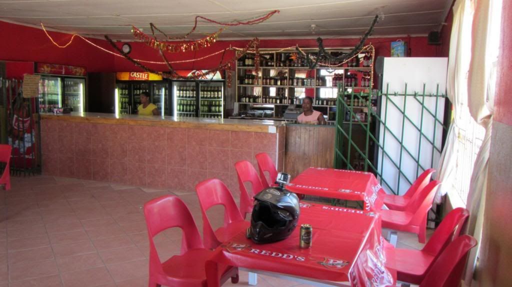
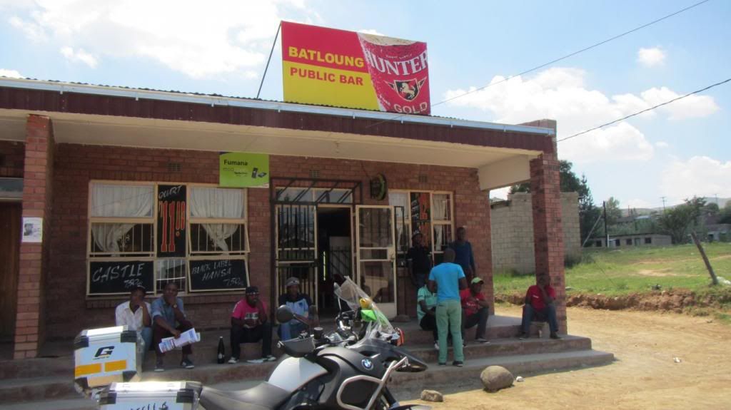
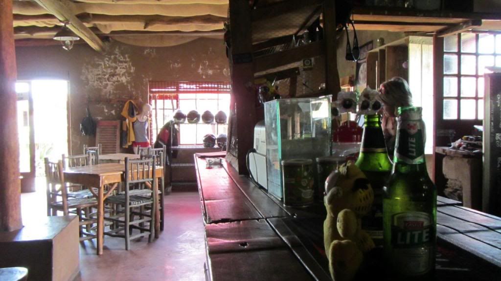
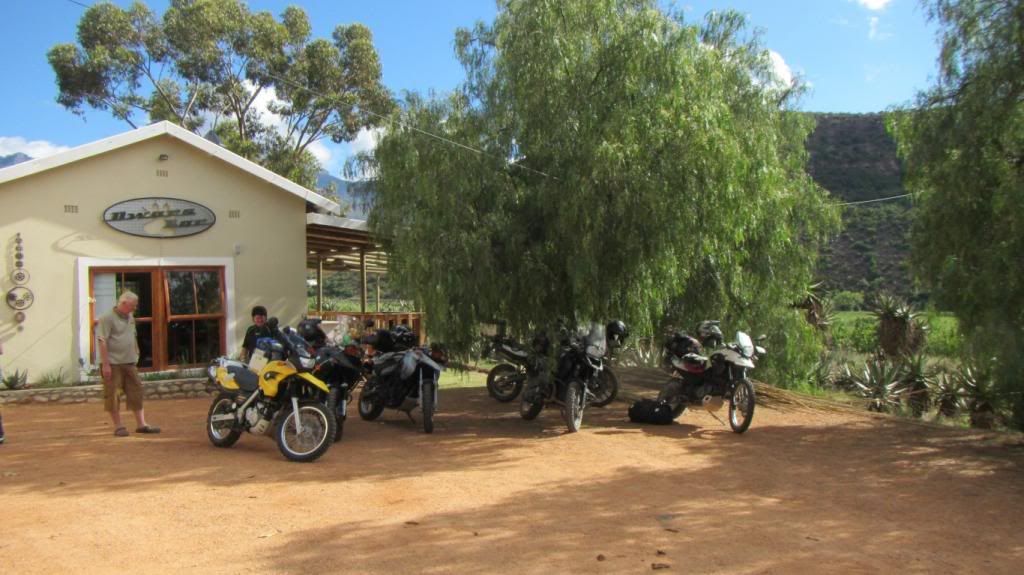
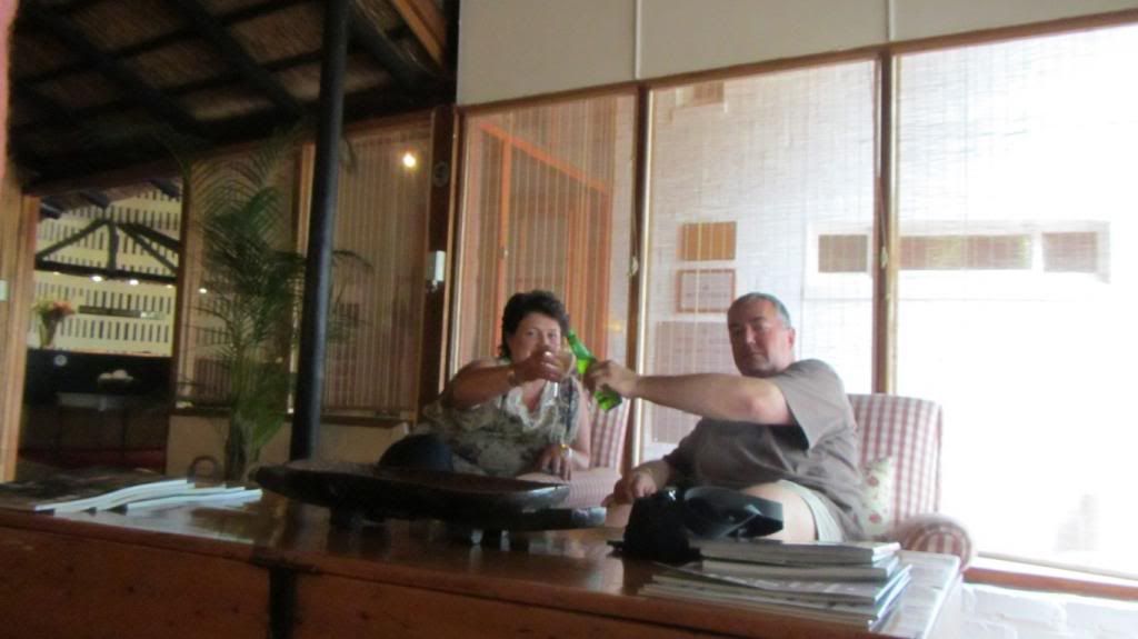
We promptly move in the Dwars Bar at Koedoeskloof for some much needed refreshment.
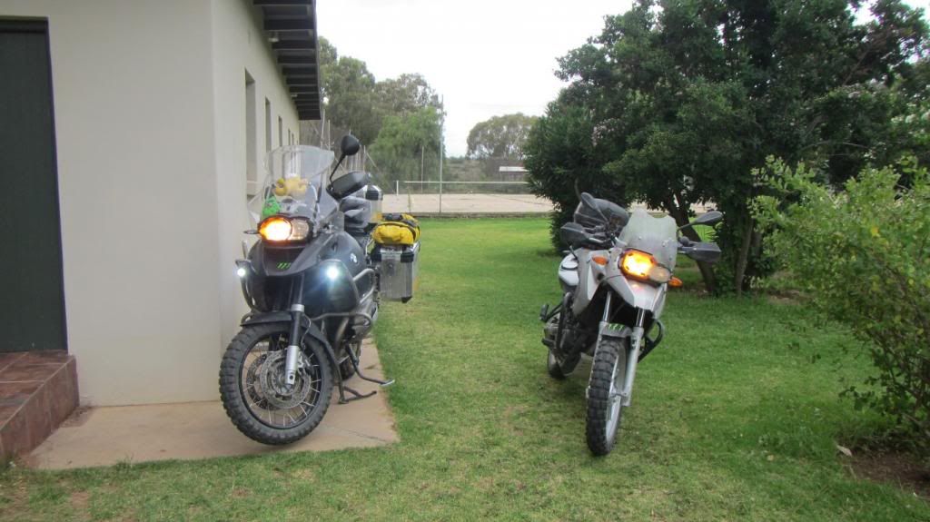
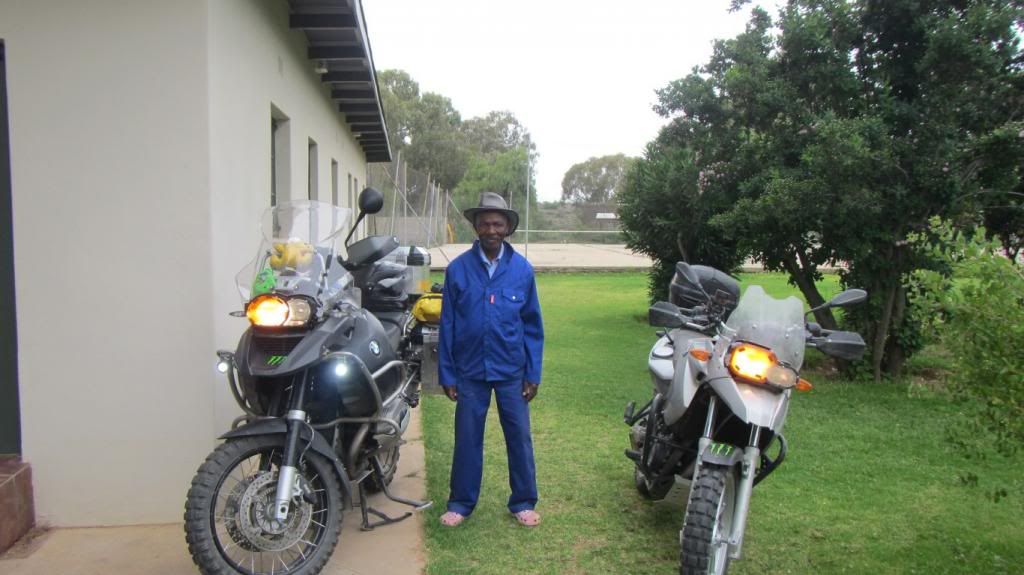
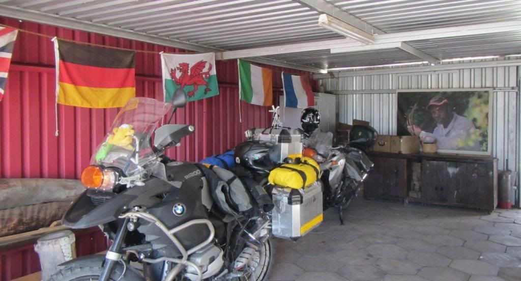
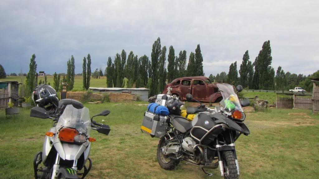
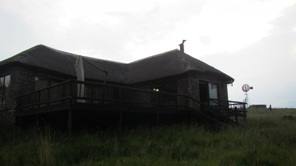
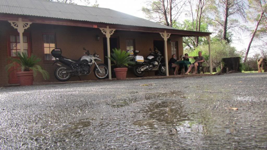
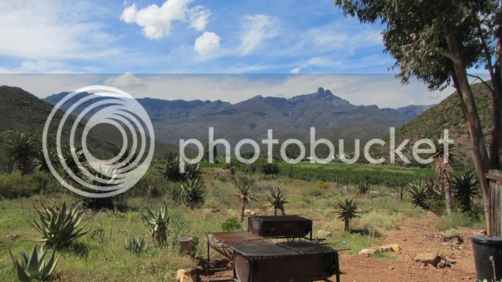
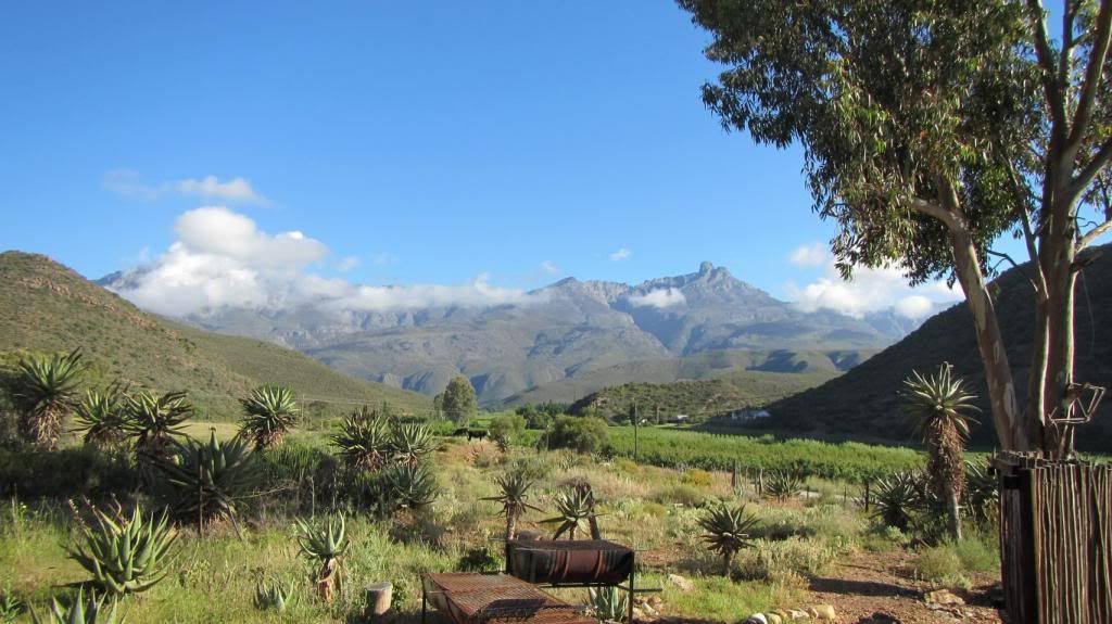
All settled in at Koedoeskloof :thumleft:
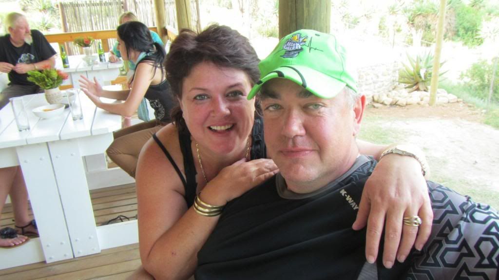
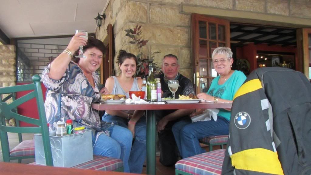
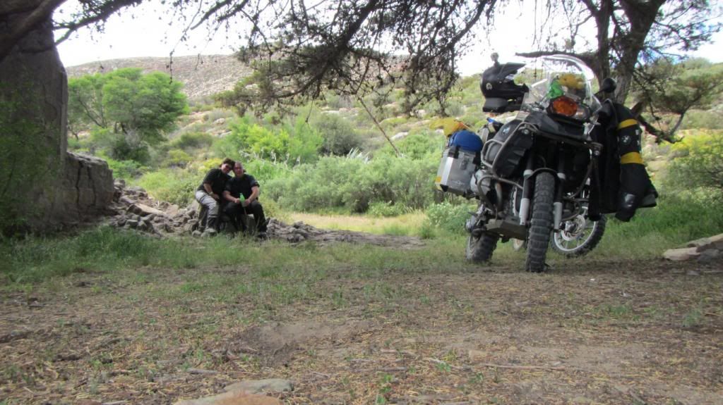
Also present three other riders, new friendships are made as the evening progresses...
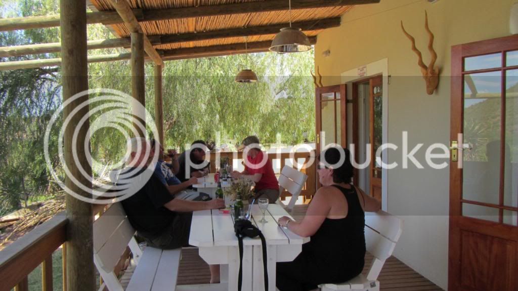
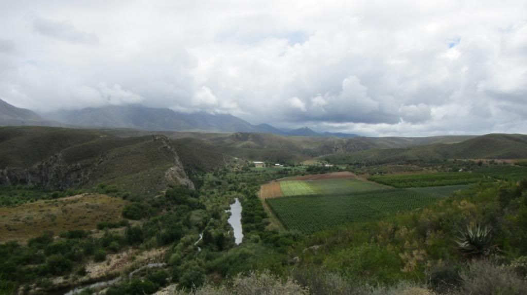
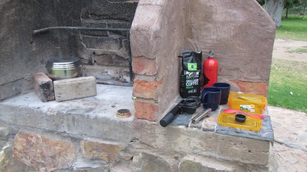
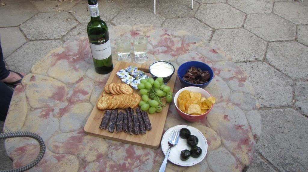
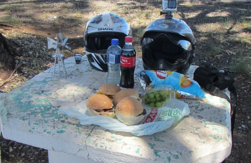
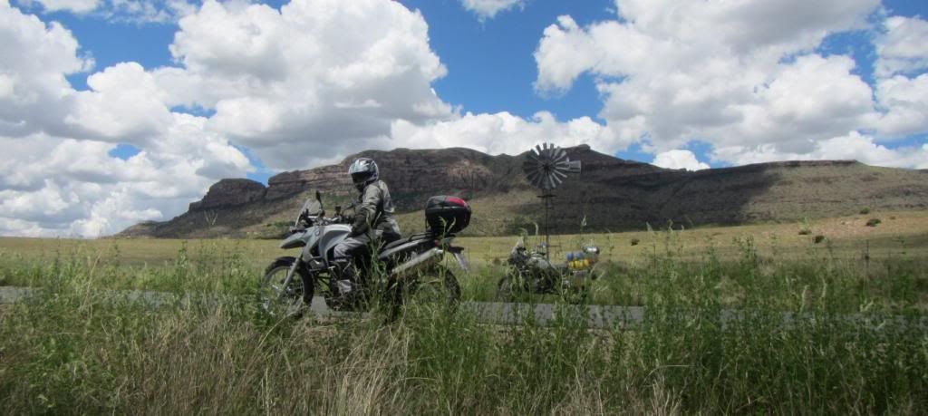
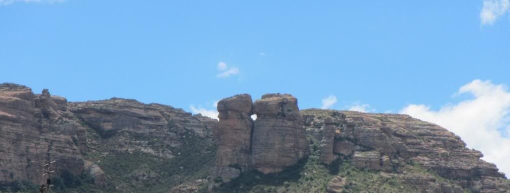
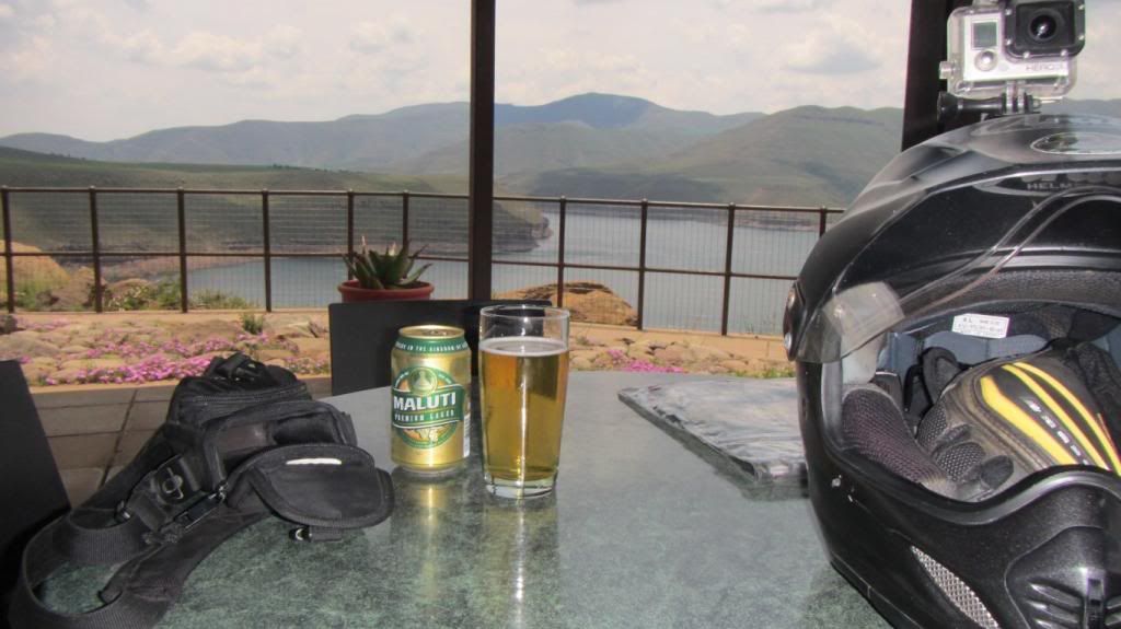
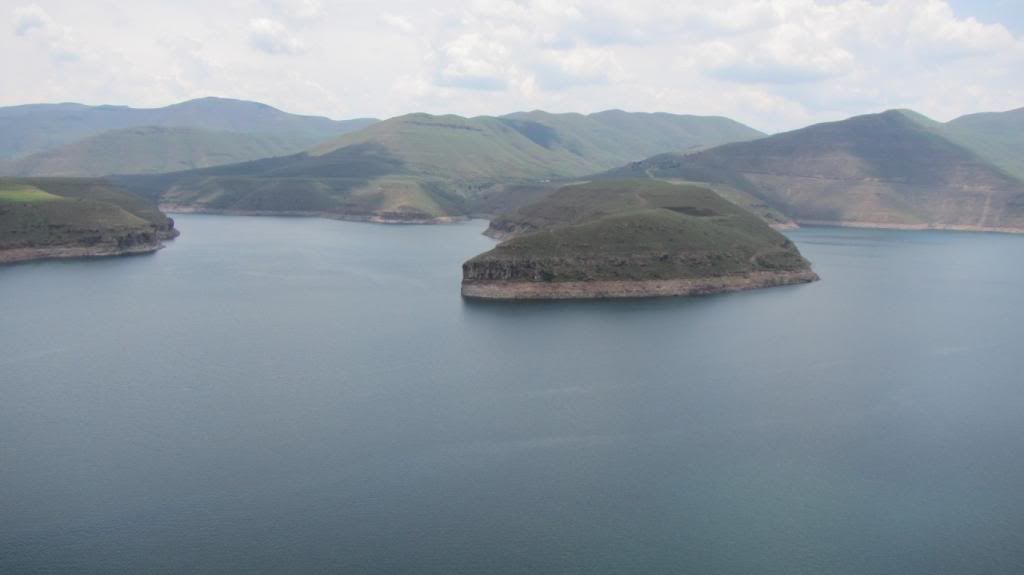
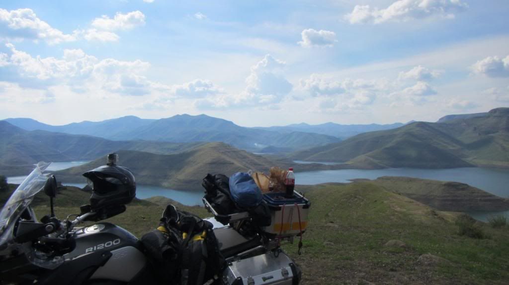
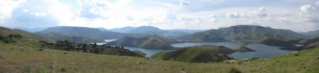
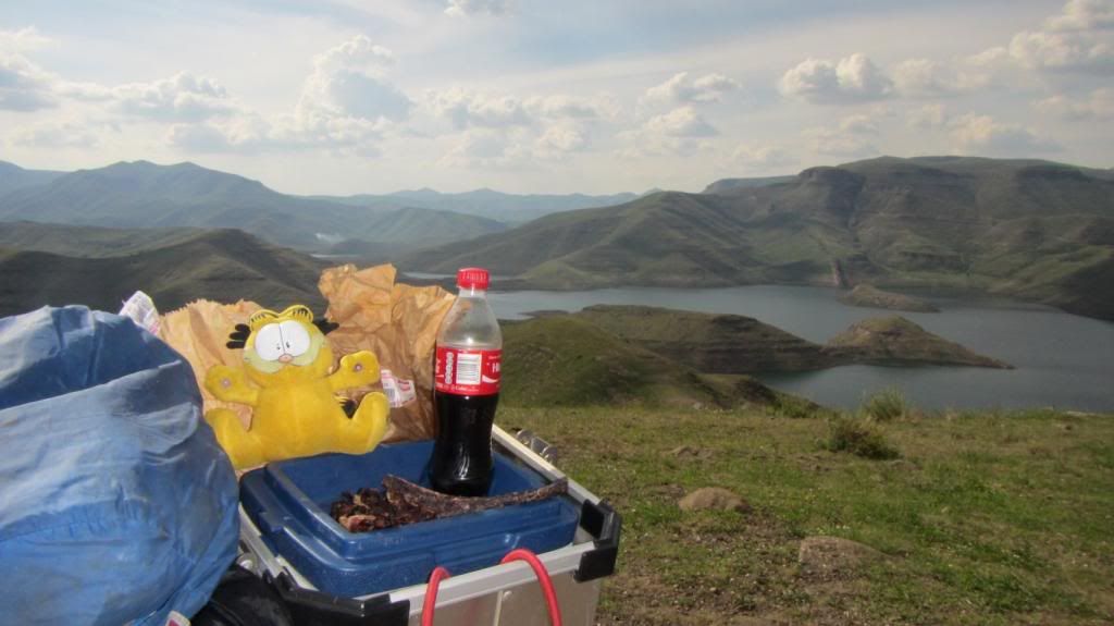
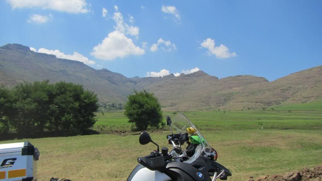
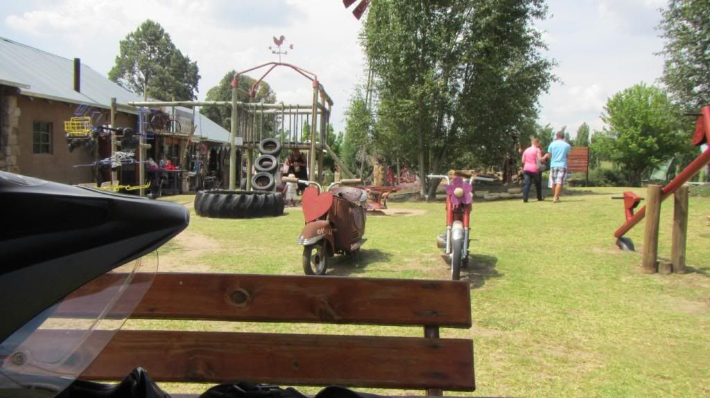
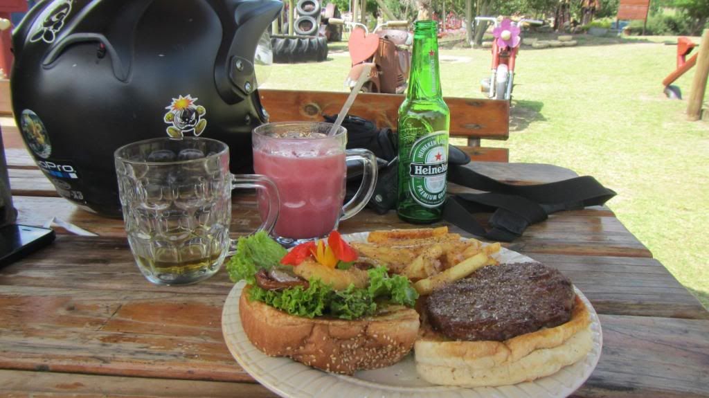
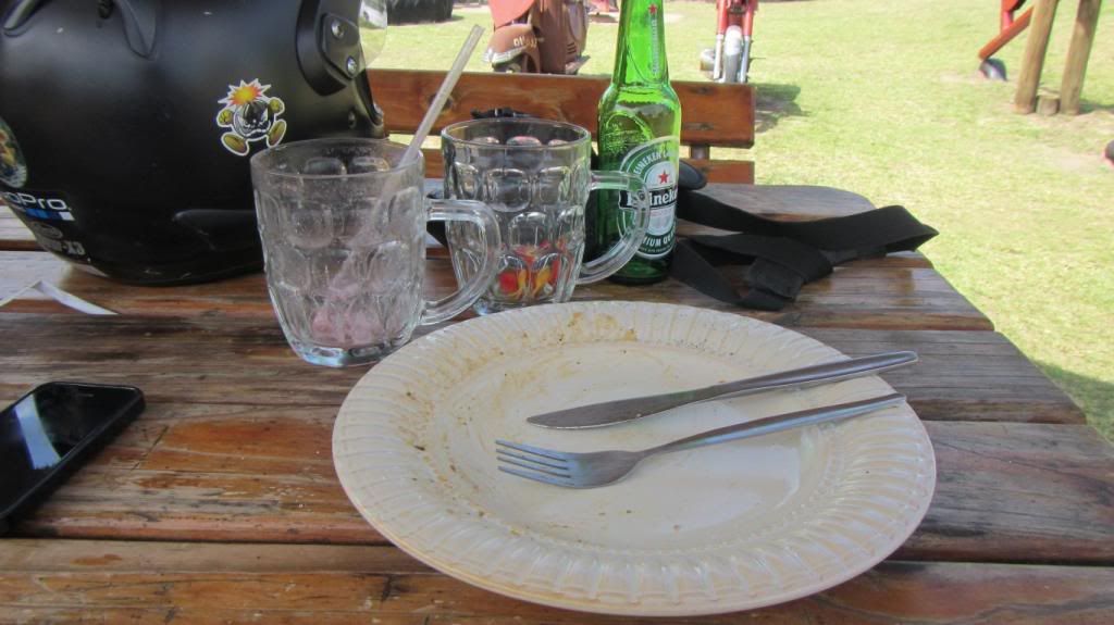
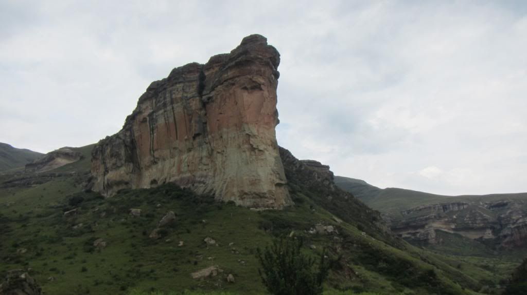
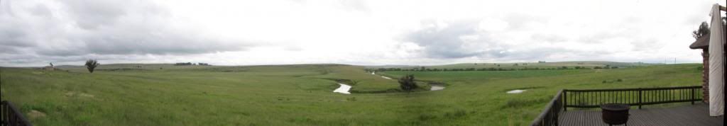
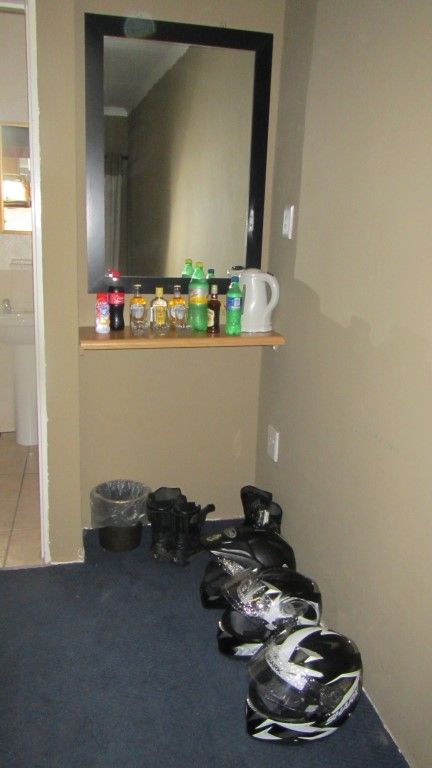
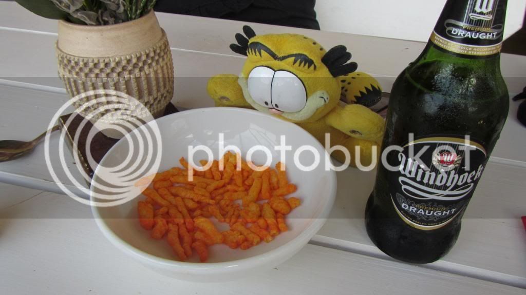
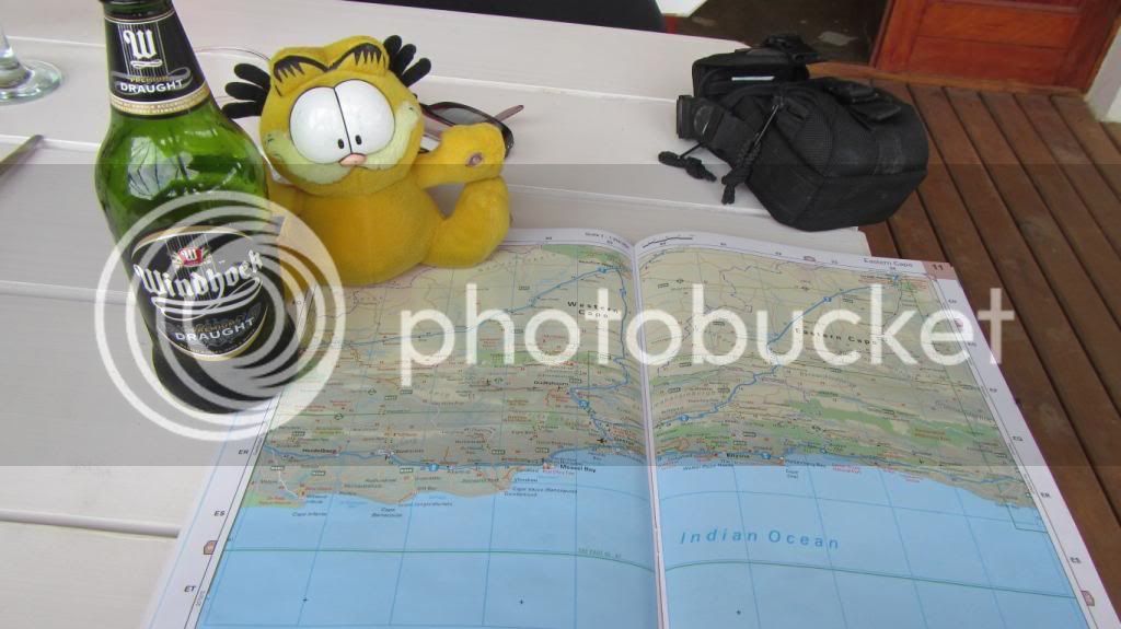
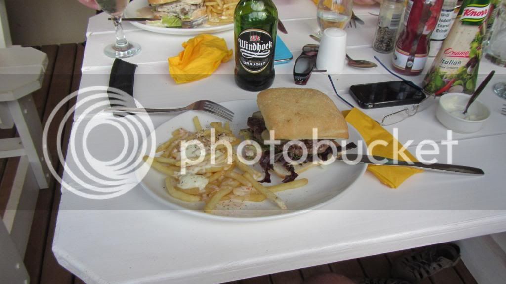
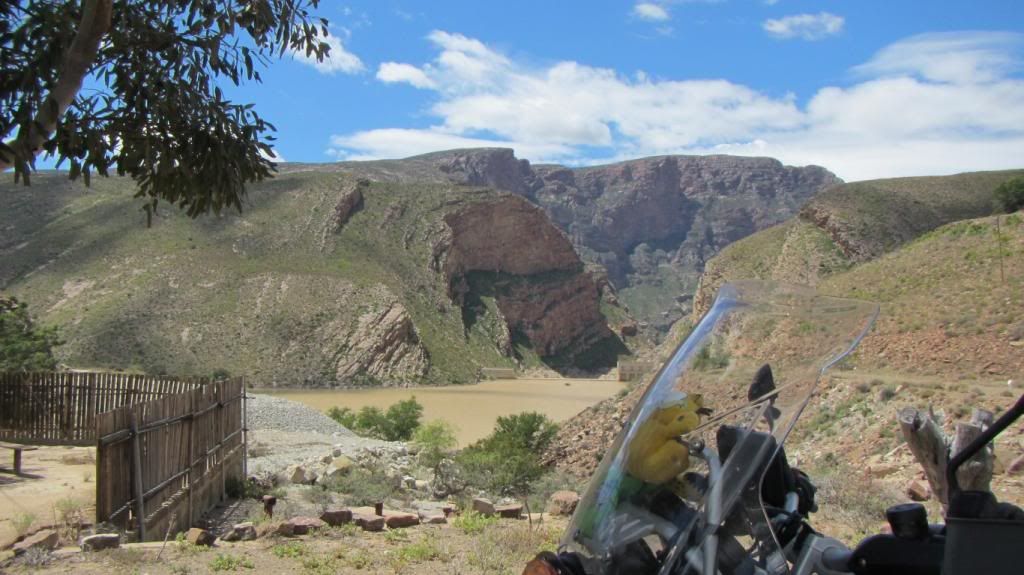
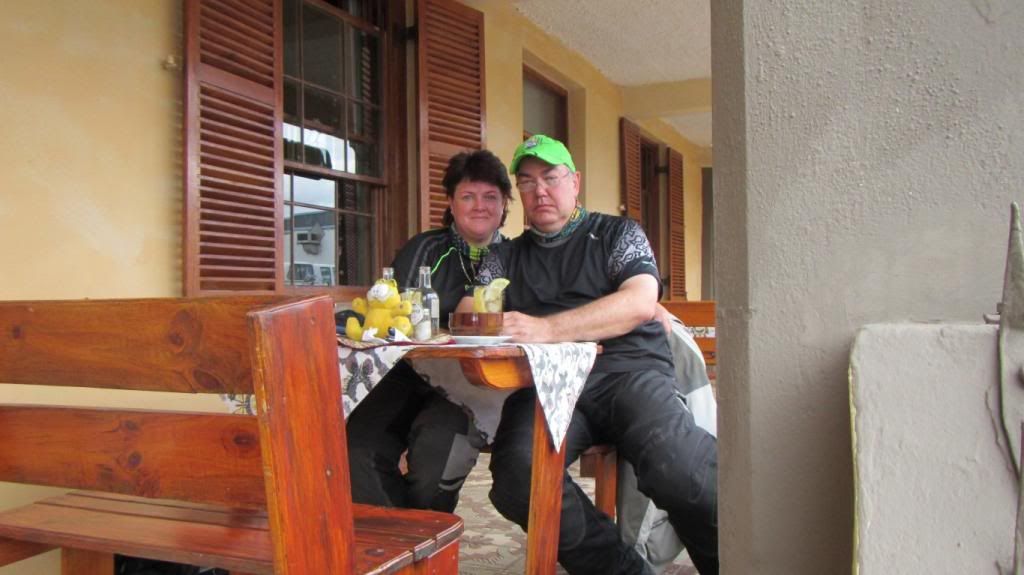
Snacks and drinks, a little bit of route planning for Day 2, a last photo of the stunning view, a really great Kudu burger, and then the camera gets put away for the day...
Day 1, at last...
06:00 two bikes leave Melkbos on a long awaited holiday.
A quick stop in Blouberg for a customary start-of-trip photo with Table Mountain in the background
First stop on Du Toits Kloof, Cape Town now behind us, things are feeling real now ;D
From here we hit tar, not fast but with a purpose.
The idea behind day one is to not spend too much time in places we go to often, or on roads we ride most weekends, so we slab it, destination for the day, Koedoeskloof.
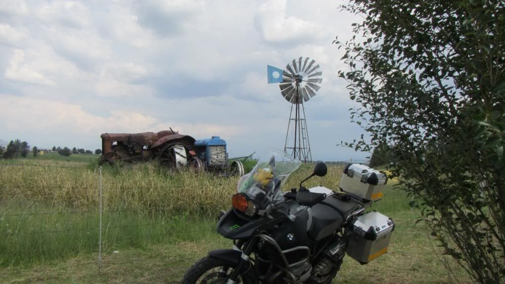
In Ashton we at last find a mode of transport (land based) bigger than a GSA.
We have not been here before, Platform 62, and promptly get pulled into a brandy tasting with an awesome chat about the making of brandy, well worth it (even before 10:00)
From here it is through to Montagu for the first refreshment of the day after the Wimpy breakfast in Worcester - around 28 degrees outside by now.
After this, more tar, quite boring but still heading away from work, a quick stop at two well known places, the first of which have changed owners (and lost its character in the process in our opinion), the second one still just the same.
And from there we ride through to Koedoeskloof, our destination for the day.
We promptly move in the Dwars Bar at Koedoeskloof for some much needed refreshment.
All settled in at Koedoeskloof :thumleft:
Also present three other riders, new friendships are made as the evening progresses...
Snacks and drinks, a little bit of route planning for Day 2, a last photo of the stunning view, a really great Kudu burger, and then the camera gets put away for the day...
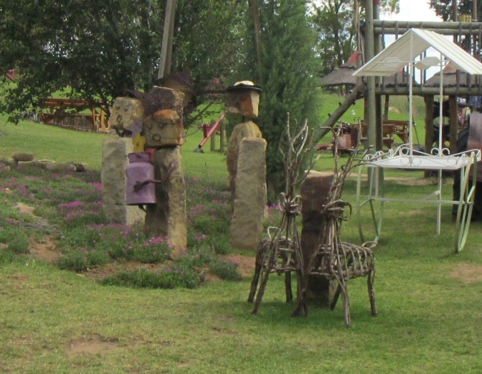
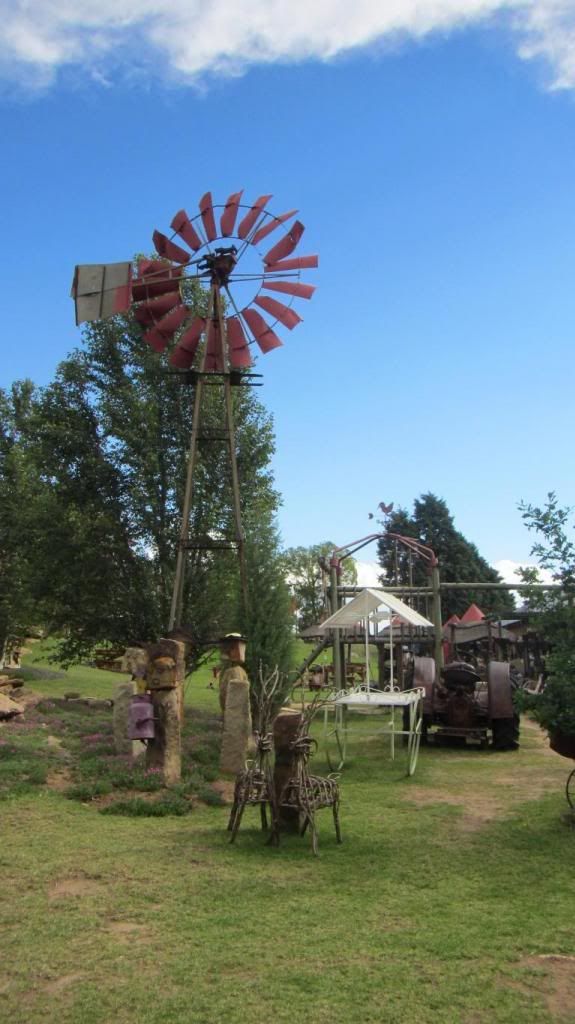
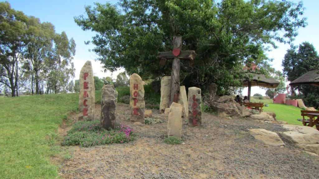
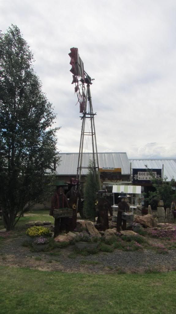
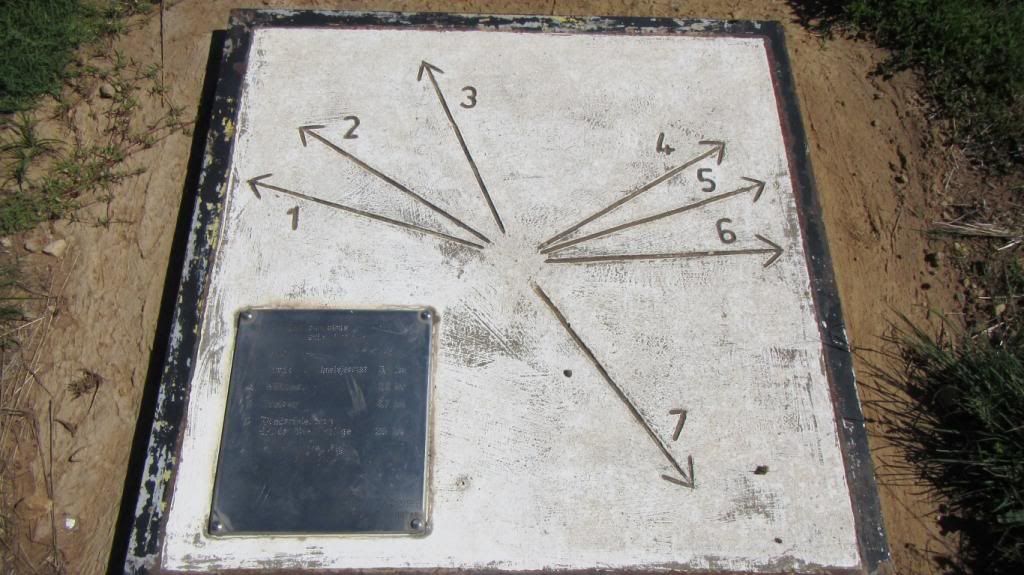
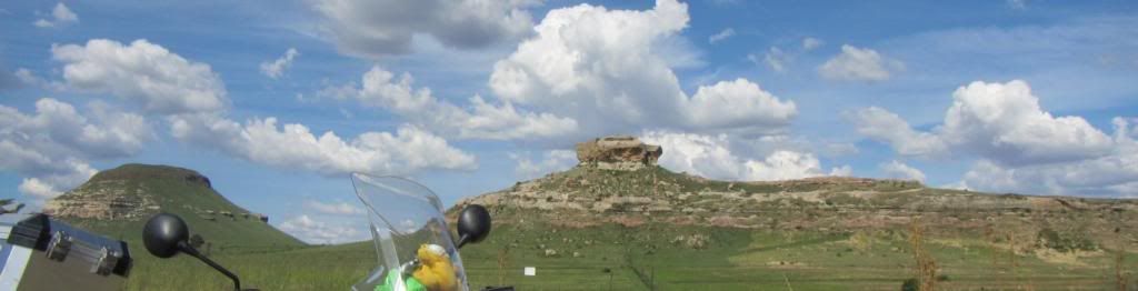
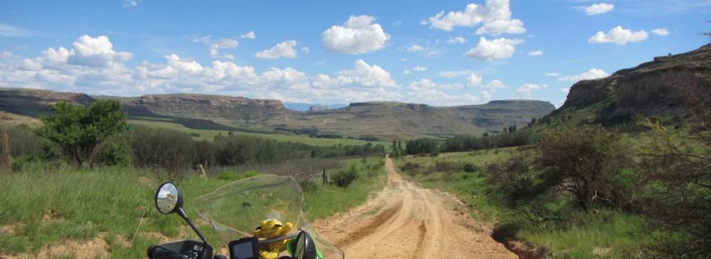
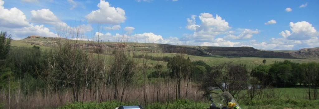
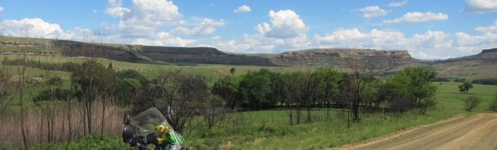
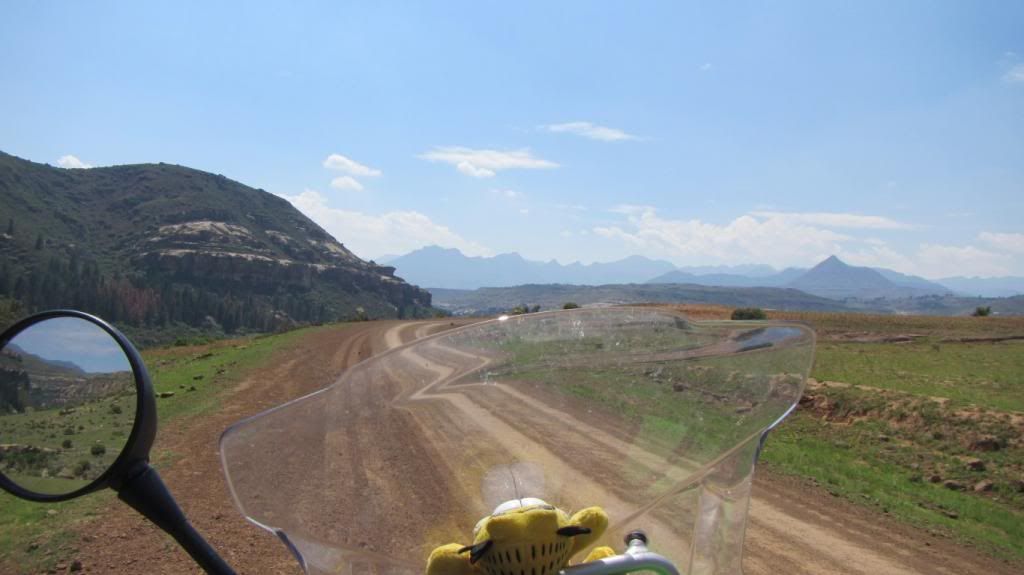
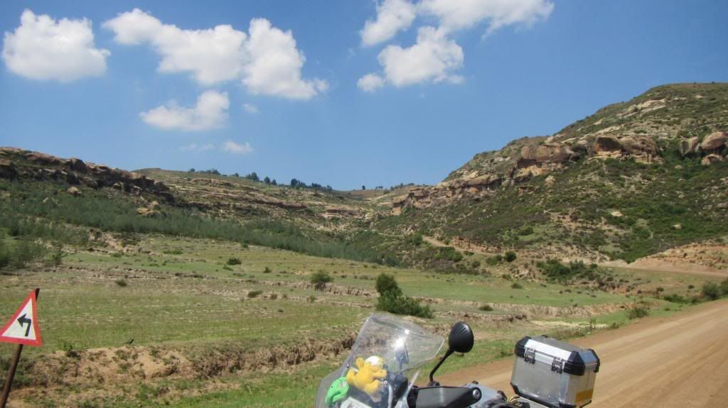
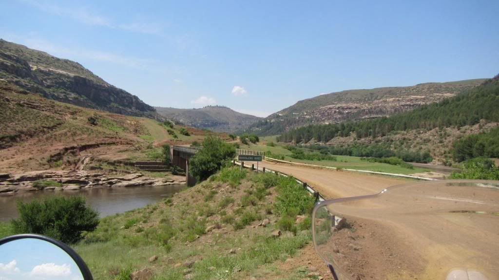
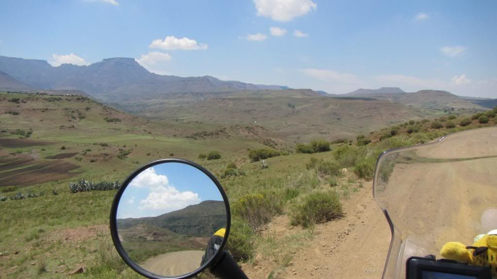
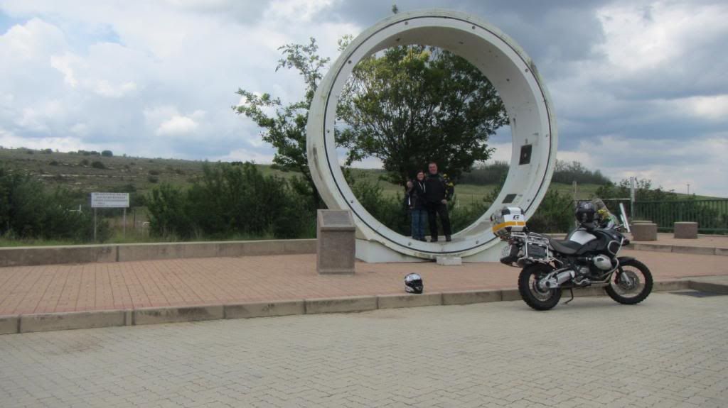
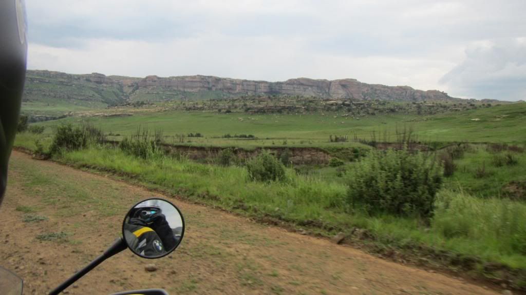
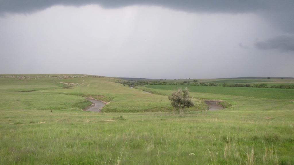
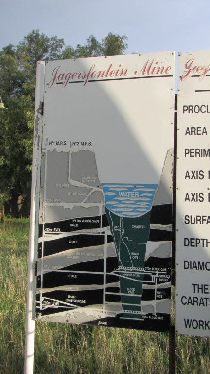
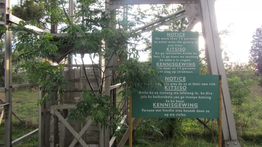
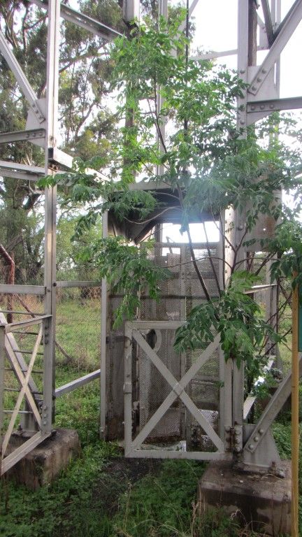
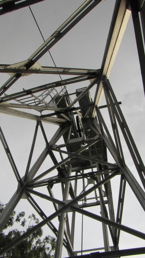
") ) along the way.
) along the way.