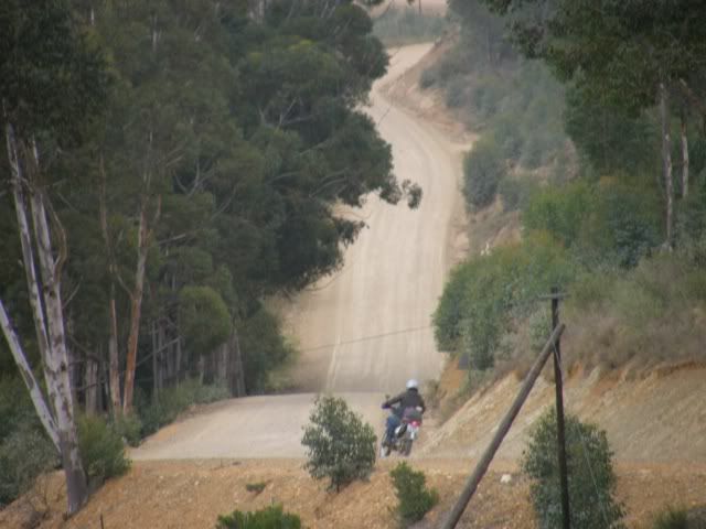
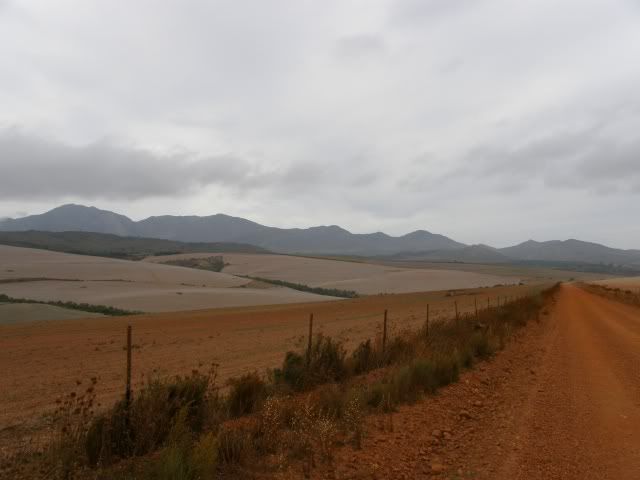
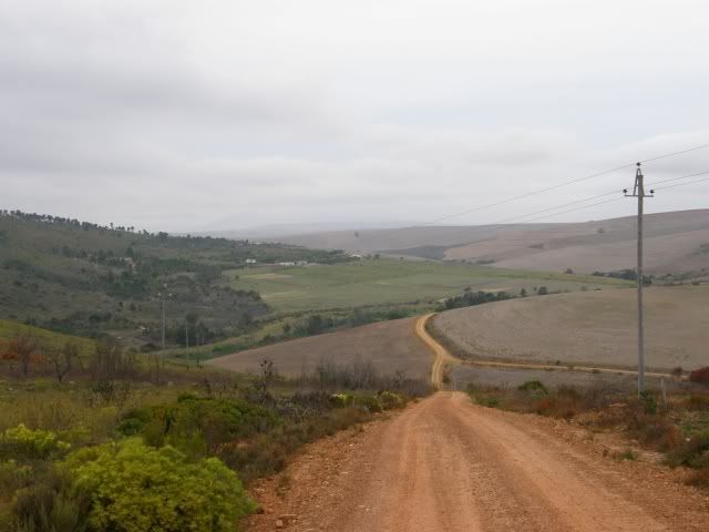
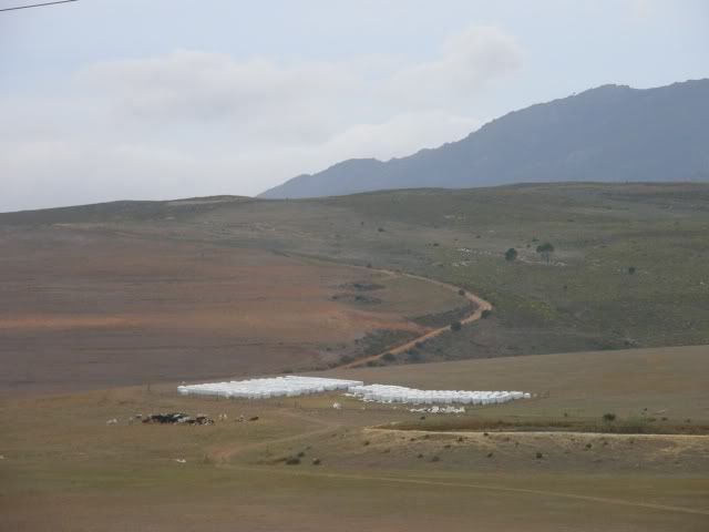
Overberg / Whale Coast

This site may earn a commission from merchant affiliate links, including eBay, Amazon, and others.
Eisbein said:
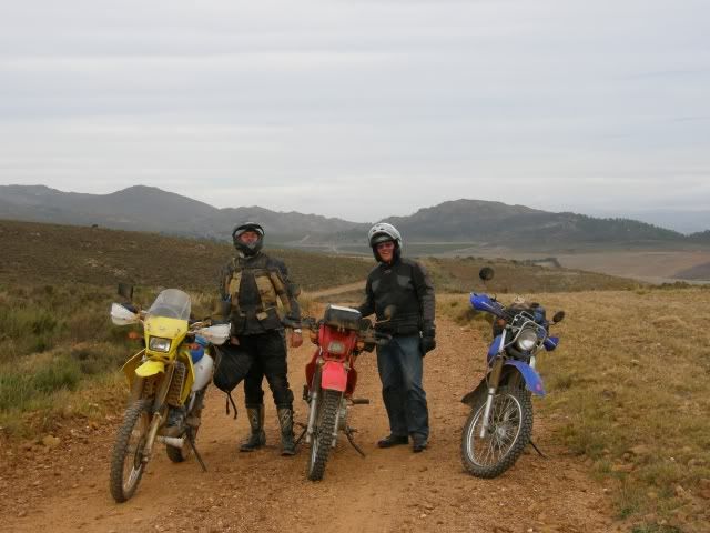
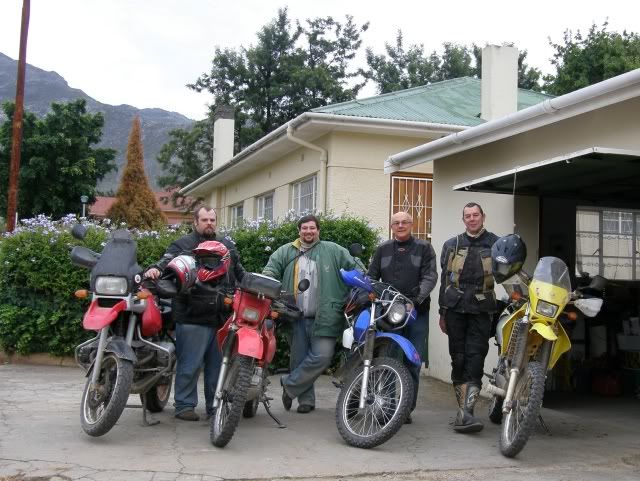
Johann said we must pose for a photo - and he did!

Showed his best side? ;D

Hell we always have fun on our rides. ;D

Little busy today. Will try to do Day 3 a.s.a.p.
 
Kykdaar said:
Fantastic as always.

Last time I visited my dad in Stilbaai I rode a few of those coastal roads and really enjoyed it.

I also turned around at the Reins Nature reserve gate, backtracked, rode towards Albertina, turned off on the gravel road to Stilbaai, crossed the river and rode the gravel roads on the other side of the river heading to Witsand. Beautiful scenery.

Where is the Duiwehoks river mouth? I must have missed it.

Ya we also did Stilbaai and Jongensfontein, and then past Blombos to the Duivenhoksrivier, of which the mouth is at Puntjie; then through Vermaaklikheid and crossing the Duivenhoks near Dassieklip farm, then along the landward side of the Duine towards Witsand.

There's a juicy but true story of a guy who printed his own money, but later took his paper supplier to court for not supplying the correct quality, him having had to pay upfront.......

Supplier dropped the Police a tip........  Guy spent time in the Tjoekie, but he's farming again.

Let's not name the farm, agreed?
 
TR, was this a 2-day long weekend?

Where's the rest?
 
Sorry Uil. Hectic week. I'll get on it tonight.
 
Day 3

Today we rose early (some earlier than others ;)) to start our trip to Lâ??Agulhas.

Wegtrek.jpg


Unfortunately Eisbein had to head home and we said our goodbyes at the Theewaterskloof dam. Thanks for joining us! :thumleft: Always a pleasure to ride with you. ;D

P5030185.jpg


I was excited about today. We were going to ride routes like Van der Stel pass, Fall down hill and Akkedisberg â?? all places Iâ??ve read about on the Wild Dog forum.

Van der Stell Pass was less of a pass than I expected, but nice nonetheless.

P5030190.jpg


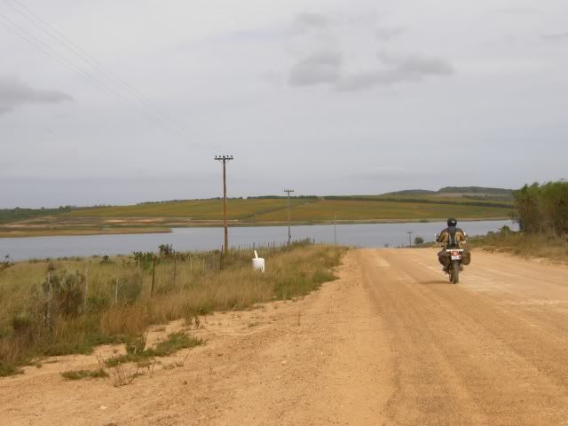
Once again we rode through everchanging scenery. The Overberg sure is a great place to ride ;D

P5030191.jpg


P5030192.jpg


Finally we saw â??Fall down Hillâ? in the distance. We did several steep uphills the day before and LGF and I were looking forward to a real challenge. ;D

P5030194.jpg


We rode and rode and suddenly Rooipoot stopped. That was it? Huh? Whereâ??s the technical bit? I hope I donâ??t offend anyone, but if that was difficult than maybe the route we rode on Day 2 might not be for you ;) ;D

â??Fall down Hillâ? myth busters: ;D

P5030195.jpg


Our route would take us within 20 or so kilometers from Uiltjies Uilnes, but not past it. We phoned Uiltjie and asked if he wants to hook up with us somewhere. Guess what? There is no way you can even ride near Uiltjieâ??s place and not drop by the Uilnes. He insists. ;D

P5030199.jpg


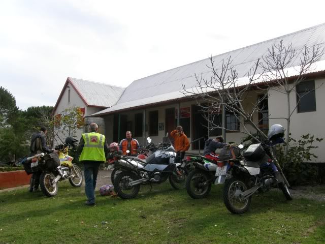
After some refreshments 5 bikes set off to Baardskeerdersbos. 4 smaller bikes and a monster:

P5030203.jpg


P5030202.jpg


P5030209.jpg


Baardskeerdersbos is a delightful place and I immediately felt at home.

P5030213.jpg


Lotâ??s of Stormers jerseys and flags and friendly faces.

P5030214.jpg


But for LGFâ??s voice of reason Uiltjie and I would still be there ;D

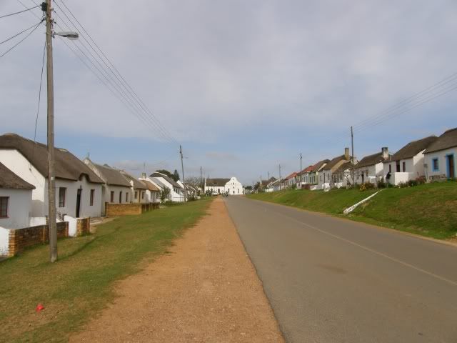
After about and hour (or so ;)) we rode on, leaving Uiltjie and his hatchlings behind. We rode through the mission town of Elim â?? very interesting.

P5030220.jpg


â??Elim is a unique historical village, situated halfway on the dirt-road from Gansbaai to Bredasdorp. It was founded as a Moravian mission station in 1824 on the site of an existing farm called Vogelstruiskraal. As the third Moravian mission station in the Cape, it was dedicated to establishing a self-supporting church of indigenous people. Even at present, the whole of the municipal property is still, uniquely, owned and managed by the Moravian Church of South Africa.â?

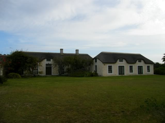
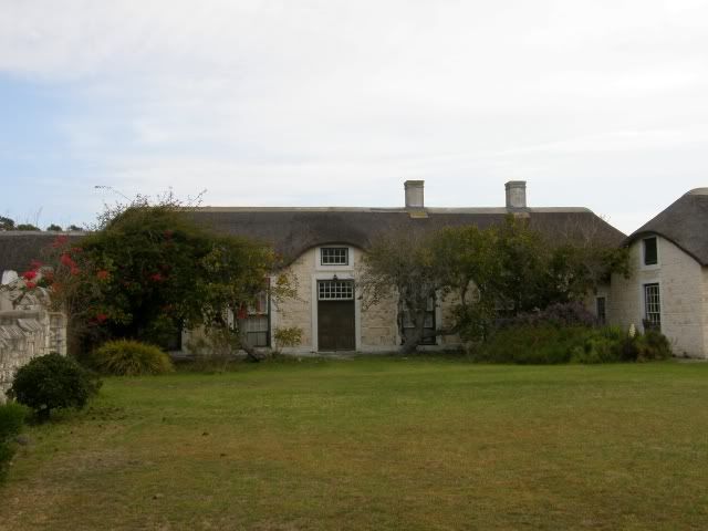
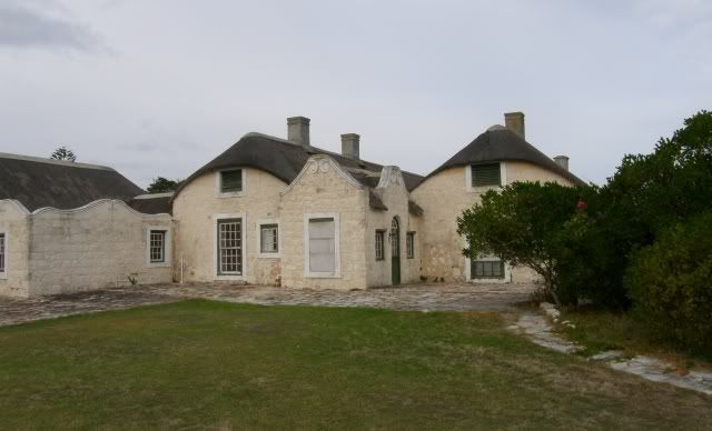
From here Rooipoot took us to the Historic farm Ratelrivier. The picturesque setting looked like it could be a picture on a puzzle.

P5030227.jpg


The original farm was known as Buffeljagt aan de Ratelrivier and was ceded by the VOC as a loan farm to Matthys Lourens in 1745. Ratelrivier is one of the oldest farms in the area. The history of the farm is closely linked to the history of the adjacent farms Rietfontein and Buffeljagt and the area features in Dalene Mattheeâ??s book â??Die Uitgespoeldesâ?

P5030224.jpg


When the farm was sold to 45-year old Hans Jacob Swart in 1831 it comprised nearly 2343 morgen (about 1875 ha). Hans Jacob Swart died in 1835 and his widow Catharina Elizabeth (née Moolman) continued farming for more than 25 years with her sons and slaves, whom she apparently ruled with iron discipline.

Sadly, his two sons, Dirk Gysbert and the younger Pieter Johannes Albertus, did not inherit their fatherâ??s good nature. Known for their violent and ungovernable tempers, they were socialites, given to heavy drinking and abusive behaviour towards slaves and even their own wives, men who often clashed with the law. Barely six months after their fatherâ??s death they both killed their wives.

Legend has it that the dying Jacoba Alida left a bloody hand print on the passage wall, which subsequent farm owners could not erase.

Ratelrivier.jpg


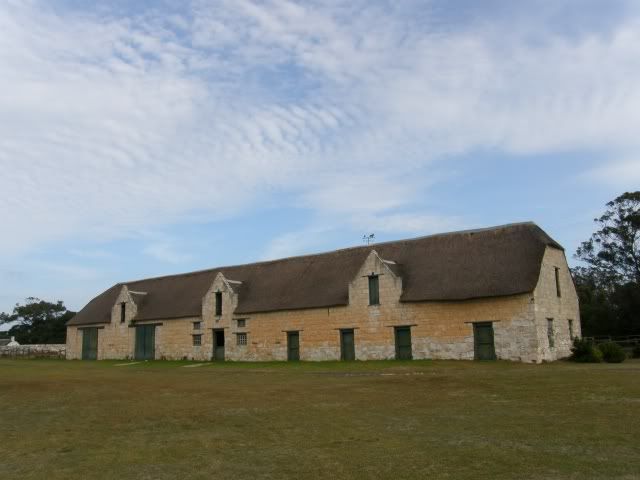
In later years William Fletcher imported stock and bred race horses and built a large stable complex on the farm, with individual Oregon pine stalls for the stallions. Two of the horsesâ?? names, Peggy and Robin, are still visible against the walls.

His horses raced on all the important tracks and had their own colours.

P5030222.jpg


The next time I ride in the Overberg I will set aside an entire day to explore these farms, but it was getting late and we had to push on.

We were headed to the coastal â??Resort townâ? of Struisbaai on a long weekend and we had no accommodation or bookings. Talk about living on the edge ;)

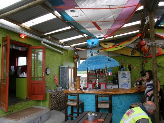
After riding around town a bit we saw a backpackers and decided to check it out. What a surprise! It was filled with young girls (OK OK, there were some guys too) from abroad that were traveling through our lovely country.

P5030236.jpg


Best of all â?? they had space for us ;D

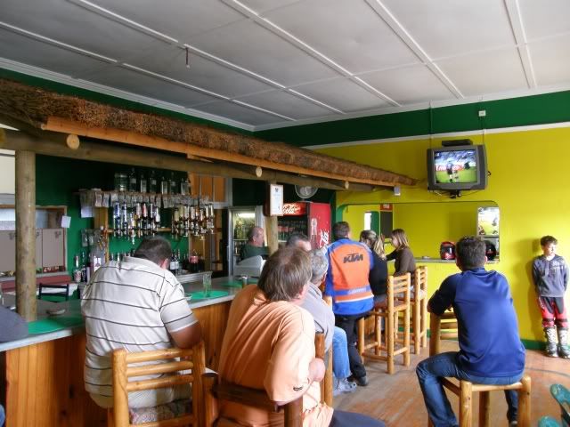
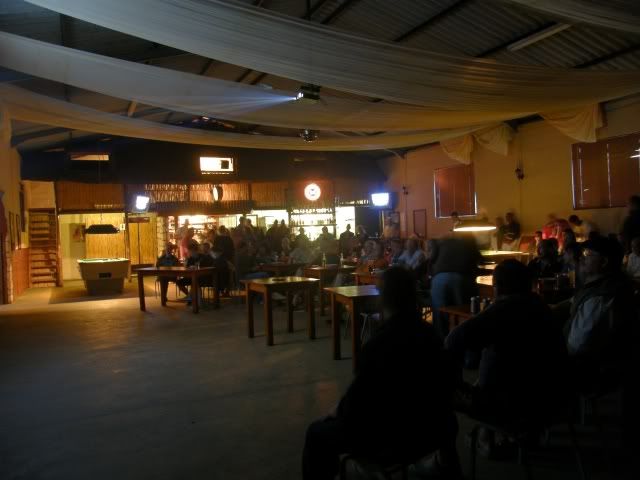
We unpacked, bought some steaks and headed to â??Cheersâ? to watch the Stormers crush the Brumbies on a helluva big screen.

P5030240.jpg


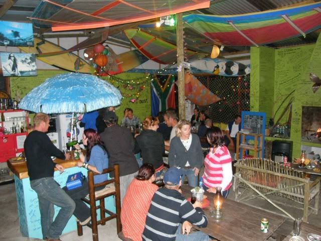
By the time we got back to the Backpackers the (cheap) bar was buzzing! This is what you call a target rich environment ;) (Just kidding ;D)

P5030241.jpg


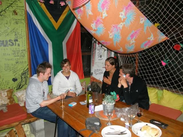
We had a nice braai and had some interesting chats with the people there. I stayed behind in the bar after the two â??Old toppiesâ? went to sleepâ?¦ ;D

P5030244.jpg


P5030246.jpg


â?¦ and partied until finally I got to bed at 2am in the morning. What a day. 275km, great scenery, good friends and a great party as the cherry on top.

In a few hours Iâ??d have to get up and do the last 5kms to Lâ??Agulhas before tackling the road back to George.
 
Very cool TR - thanks !

What I really like about your reports is the bits of history you always put in in between the ride report.

Brings a total new and different perspective.

Very cool!

 
Baie nice TR, nou is ek baie spyt ek het nie saam Ratelfontein toe gery nie!

Damn, ek sal weer moet gaan, dis pragtig soos Rooipoot beskryf het!
 
Day 4

Despite my late night felt good this morning. I did have some "Guronsan C" though (preventative measure ;)).

Before we left we had to mark our territory. Have a look at the top left. ;D

P5040252.jpg


Maybe some Wild dogs can add their names in future?

P5040251.jpg


Next up:

P5040267.jpg


While here we ran into Ektoknbike. Turns out he was in Struisbaai too and we didnâ??t know. :-\

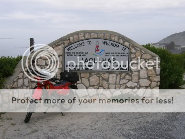
And of course the obligatory pic of my bike at the Southernmost tip of Africa.

It's the end of the world and I like it!

P5040259.jpg


P5040257.jpg


The second lighthouse of the trip:

P5040261.jpg


This lighthouse has been in operation since 1 March 1849 and has a range of 30 nautical miles. South Africa's third lighthouse, and the second oldest surviving lighthouse (after Green Point). The lighthouse marks the southernmost point of Africa at latitude 34°50' S and the junction of the Atlantic and Indian Oceans at longitude 20°01' E and the one with the most shipwrecks near it. The ultimate tip of the continent is 1 km (0.6 mi) west southwest of the lighthouse.

This historic light, surely one of the world's great lighthouses, was deactivated in 1968 when deterioration of the sandstone walls made the tower appear unsafe. The light was then transferred to a lattice tower. Restoration of the original tower began in 1983. The original lighthouse was recommissioned on 25 March 1988. The lighthouse museum opened in 1994. The lighthouse is now a national monument and open to the public.

P5040262.jpg


P5040264.jpg


P5040266.jpg


As with all things, this trip too had to come to an end, but not before we crossed the Overberg again ;D

P5040272.jpg


P5040277.jpg


P5040279.jpg


Rooipoot had to split off (to ride back to Villiersdorp) close to Malgas, but LGF and I had another river crossing on the pontoon ;D

P5040287.jpg


And lo and behold! When we got to the other side we ran into yet another Wild Dog ;D Nice to meet you Smurf!

P5040291.jpg


He was on his way back to Cape Town after riding the Transkei with some other WDâ??s. Whereâ??s the ride report?
waiting.gif


Some more scenery on the way back:

P5040294.jpg


P5040297.jpg


On Day 1 we were in such a hurry to get off the tar that we rode past some of the beautiful spots. For the sake of thoroughness and in the spirit of this trip I decided to visit the lighthouse and river mouths we missed on Day 1. At Mosselbay LGF split off and headed home while I took a detour to Cape St Blaze, but not before I watched some of the locals catch some waves.

Surfer.jpg


StBlaze.jpg


Situated at Mossel Bay, Cape St Blaize lighthouse is a 20.5 metre square concrete tower which is painted white. The lighthouse has been a working navigational aid since 1864 and is a popular tourist venue with a tea-room on the grounds. The spectacular views from the top extend over the peninsular, across the bay, towards the Outeniqua Mountains and out to the Indian Ocean. Bartholemue Dias sailed into Mossel Bay on 3 Feb 1488 which was the festival day of Sao Bras and he named the bay â??Aguado de Sao Brasâ?which means, watering place of St Blaize, because of the spring of fresh water located near the shore.

On the way home:

Klein Brak river mouth

P5040309.jpg


and Groot Brak river mouth

P5040314.jpg


P5040316.jpg


What a great trip! No incidents or accidents. Not even a flat tyre. We had nice riding weather as wellâ?¦ until, about 20km from home, I saw this:

P5040319.jpg


But luckily I missed that shower and got home safe and dry. On Day 4 I rode 325km and over the 4 days I rode 1181km in total.

This was a good trip. I will definitely go back and visit the Overberg again. There is so much more to see. Thanks to all who made this trip special. :thumleft: Till we ride again ;D

 
Very cool report TR :thumleft:

Some excellent pictures and a nice report to go with it.
Like the lighthouses  ;D ;D
 
Trailrider.... you rock!

(and don't think for a moment ek is 'n Engelsman wat 'n Afrikaner verneder..! ;D) Lovely ride and lekker reading.
 
Carnivore said:
(and don't think for a moment ek is 'n Engelsman wat 'n Afrikaner verneder..! ;D)

;D

Nope, no prob there. I ride with Engelsmanne all the time ;) We've been teaching LGF words like Booswig, griffel and a lot more ;D

Looking forward to seeing you on the EC Bash!
 
Dankie Trailrider - jou website is een van die redes hoekom ek 'n 250 gekies het! 
Lekker RR en fotos ... gaan verseker paar van daardie passe aanvat op die TTR.  :ricky:
 
Top