Rat racer's weekend getaways

This site may earn a commission from merchant affiliate links, including eBay, Amazon, and others.
Clockwork Orange said:
Thanks for that explanation[emoji106]


Sent from my iPhone using Tapatalk
:thumleft:
 
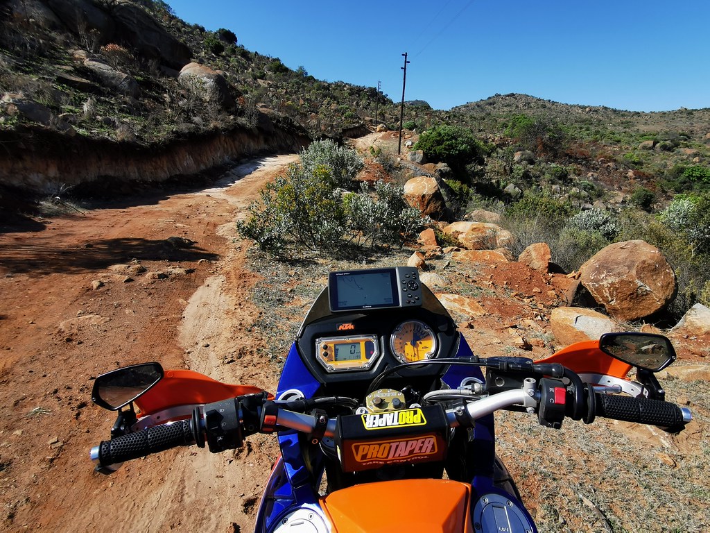
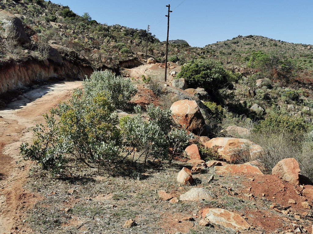
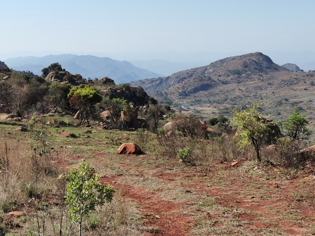
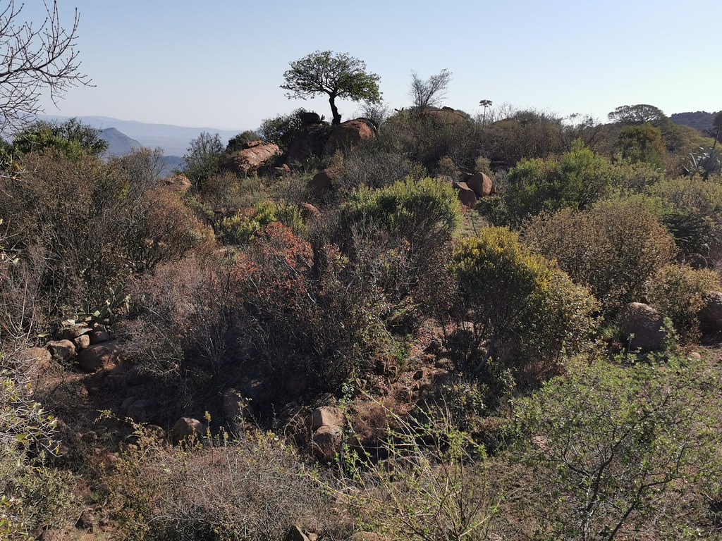
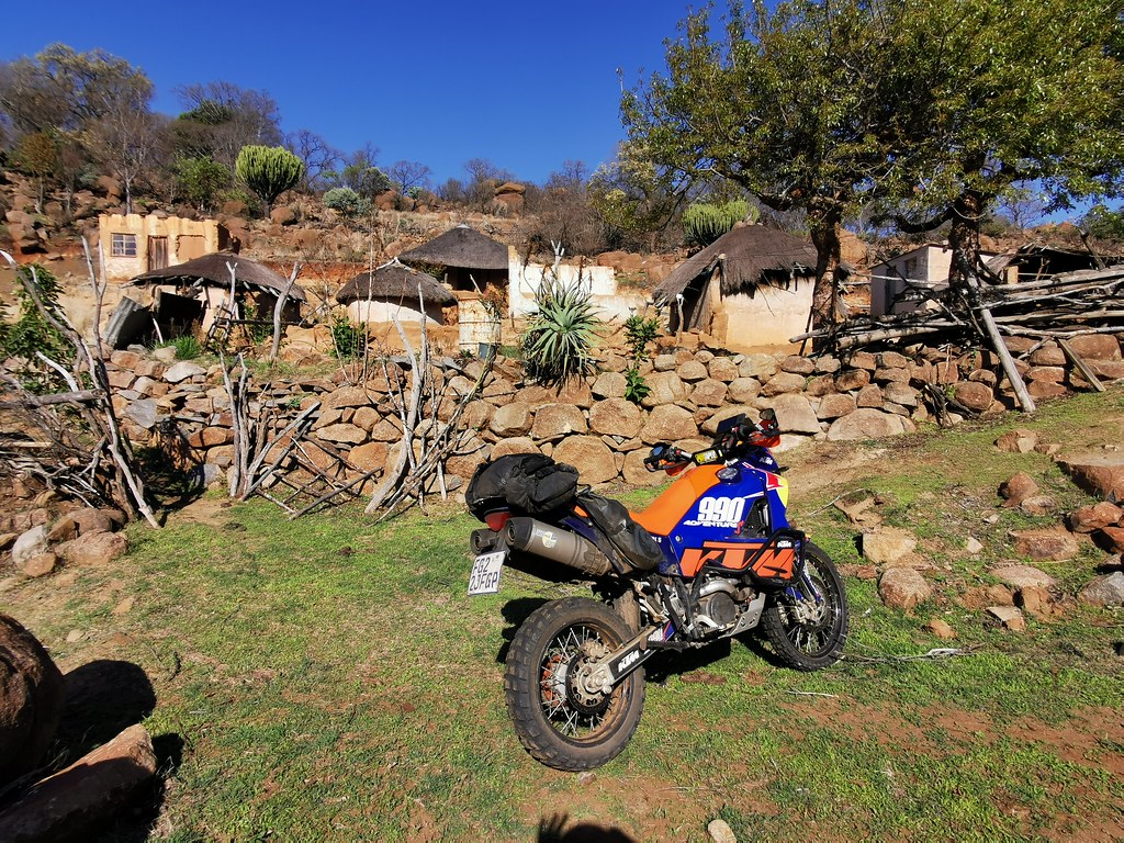
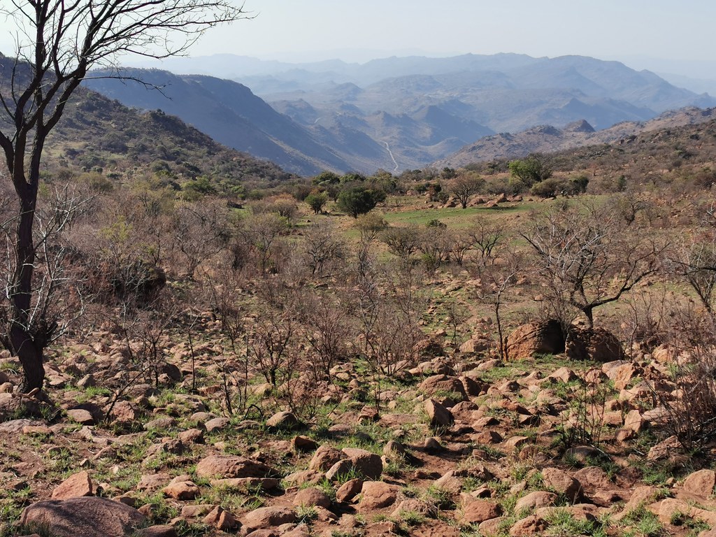
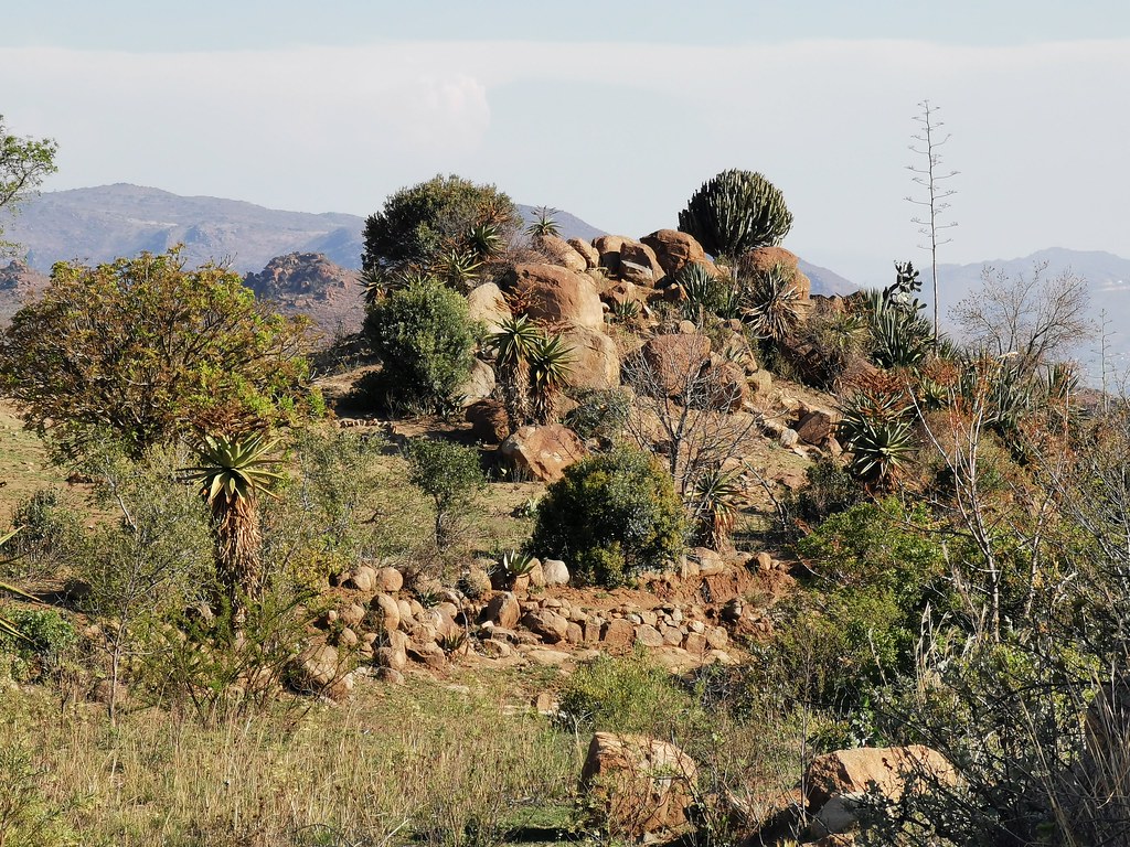
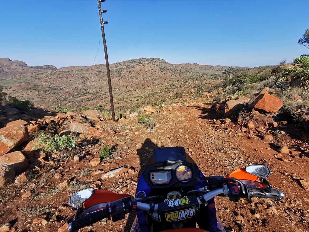
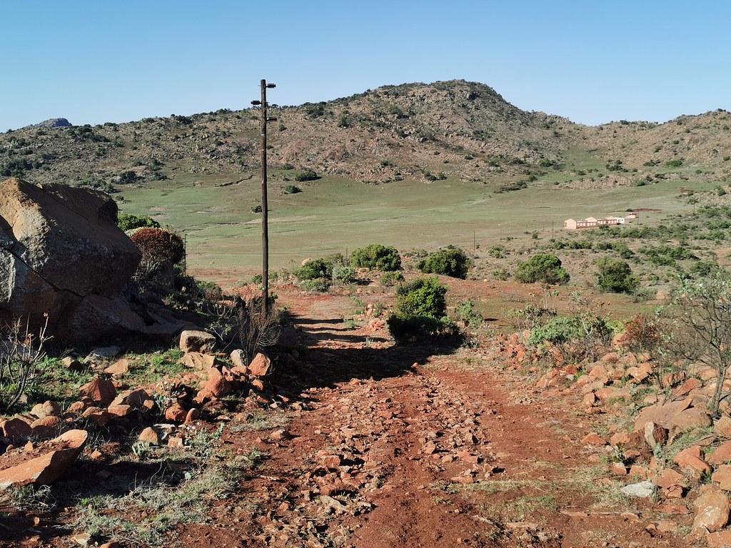
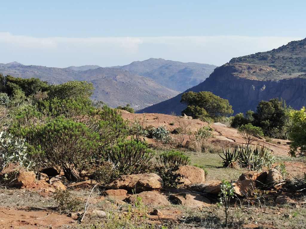
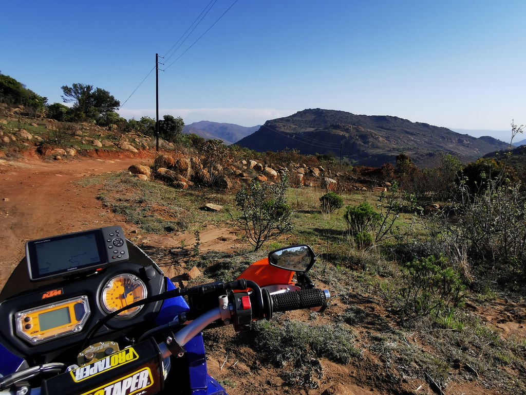
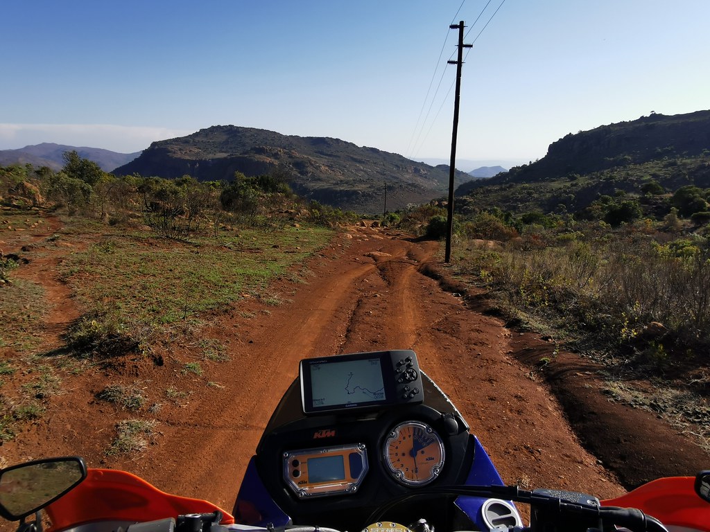
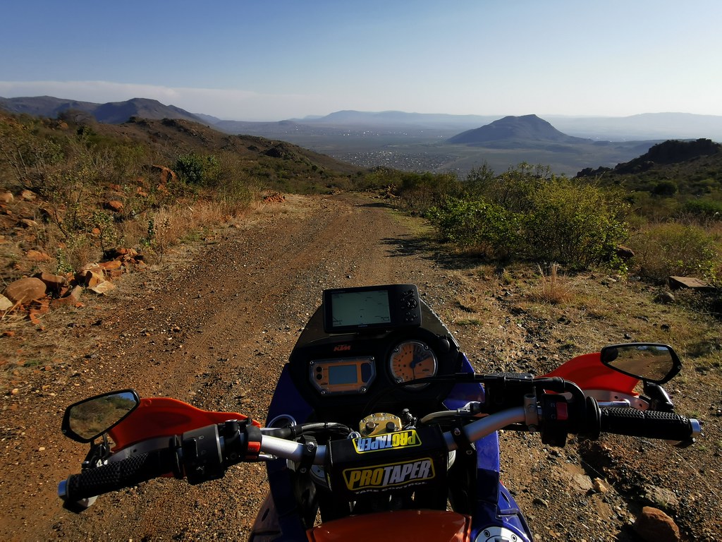
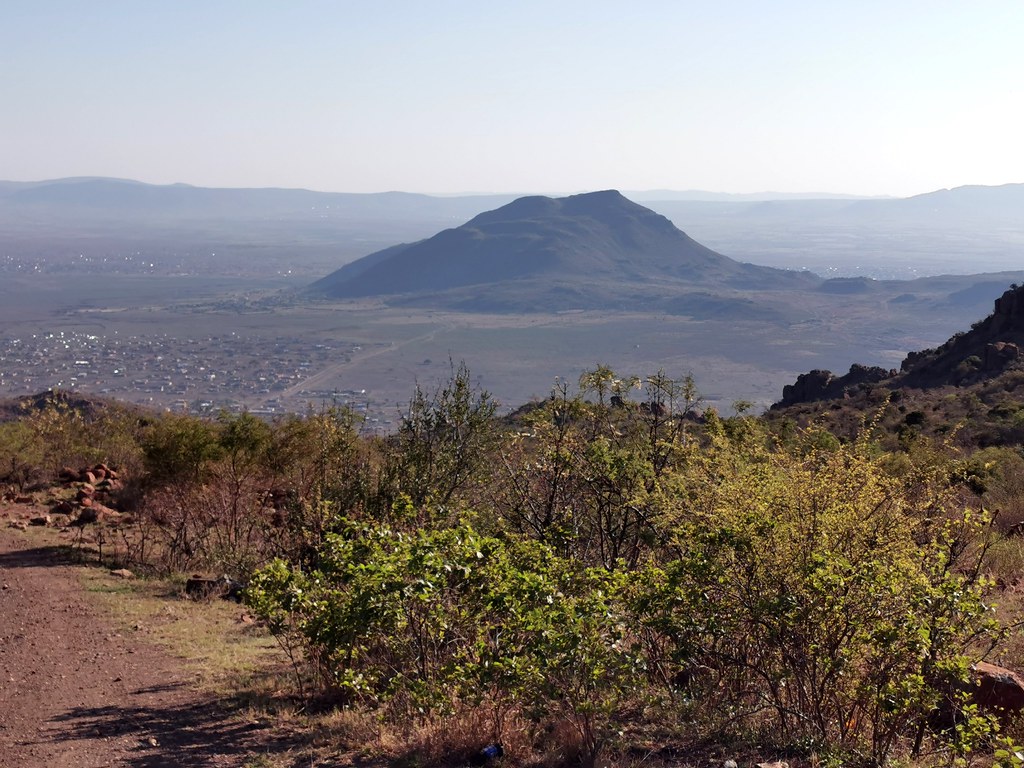
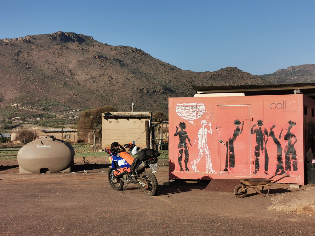
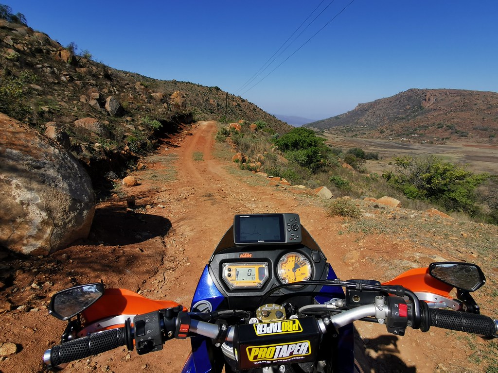
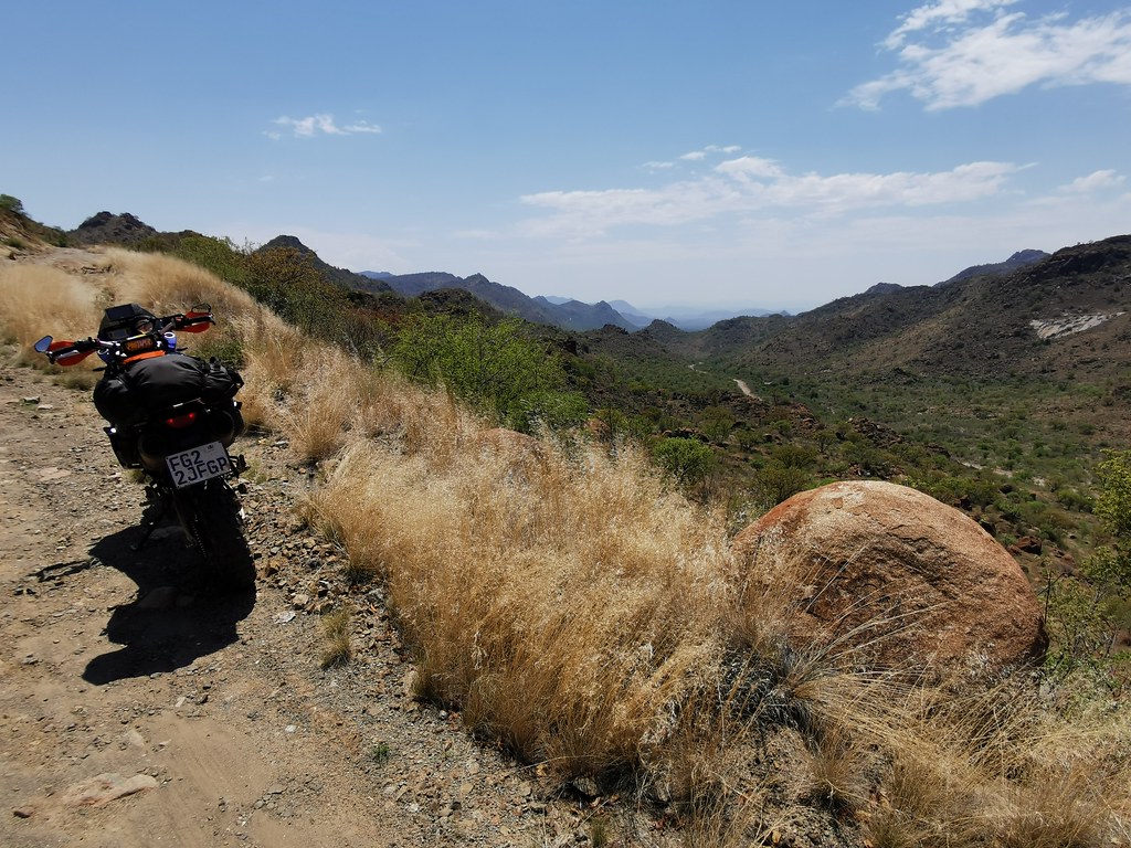
I continued further north following the dirt highway running on top of the mountain range through couple of villages:


50501883133_46c3395567_b.jpg


50502751917_986197b6d8_b.jpg


50502600466_2b9411d1d6_b.jpg


50501883358_ca1bb4ee23_b.jpg


50502753737_48eb4255b4_b.jpg


50501883868_69c8a67d57_b.jpg


50502602121_7f79ee1bed_b.jpg
 
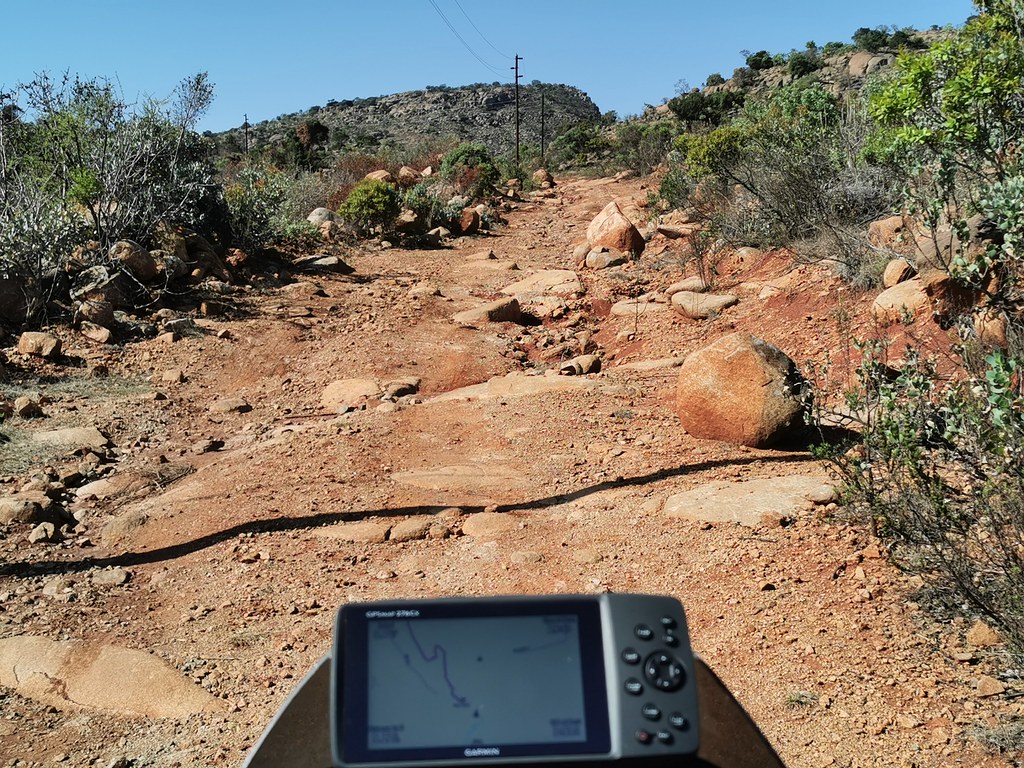
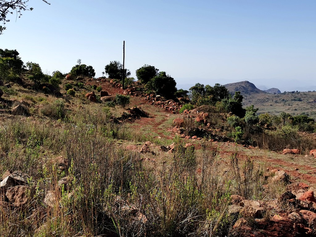
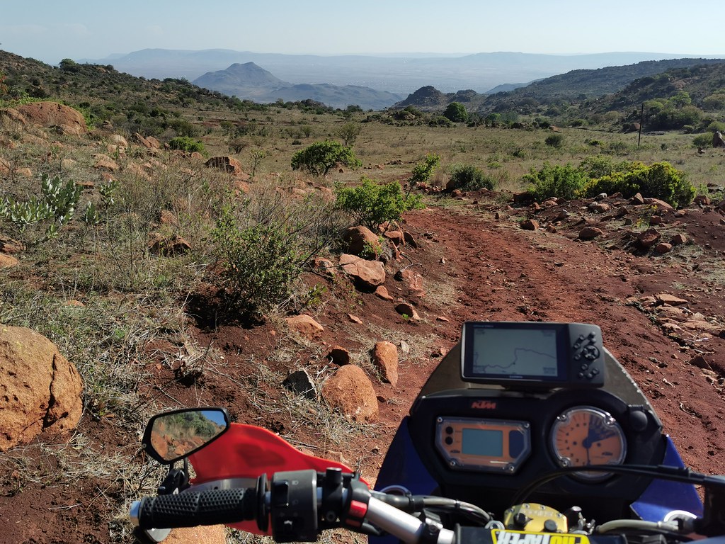
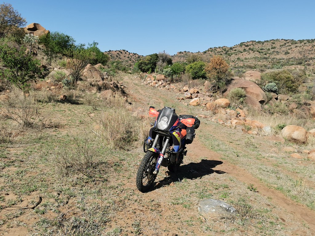
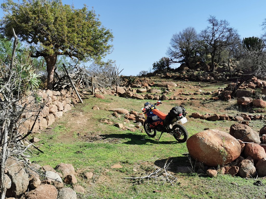
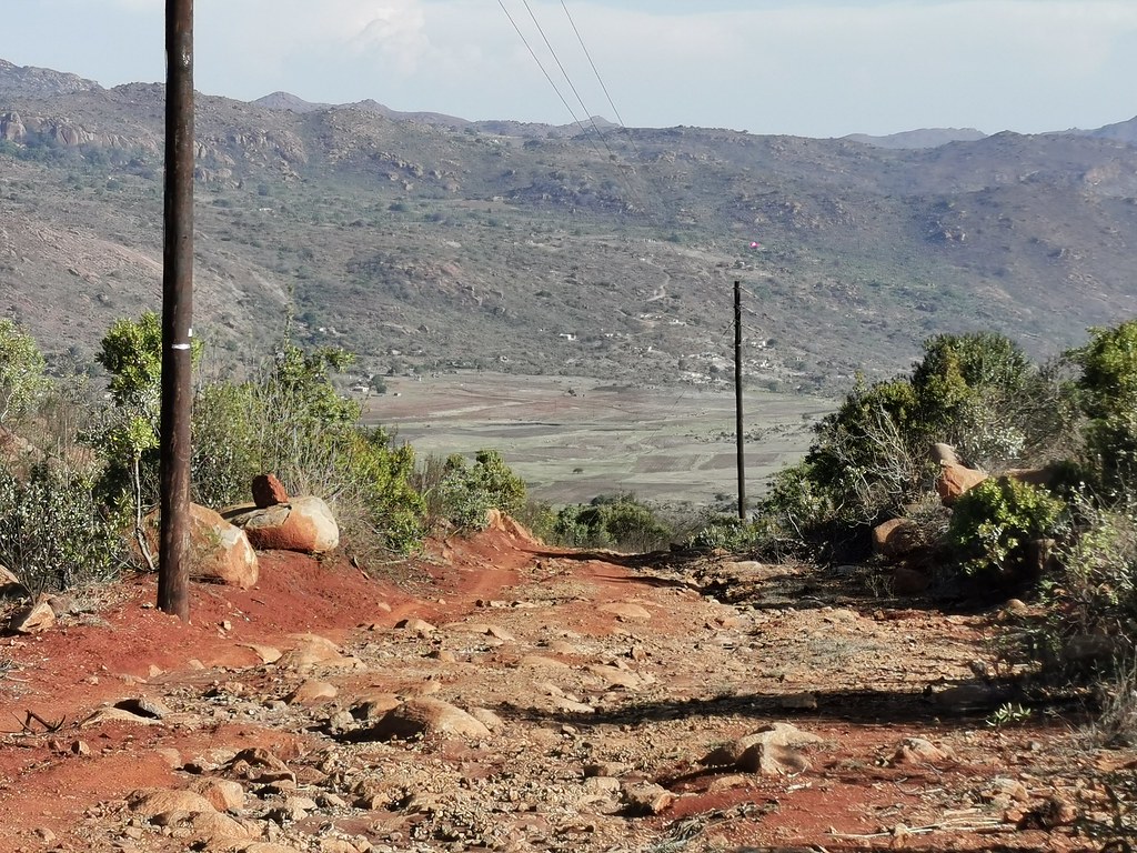
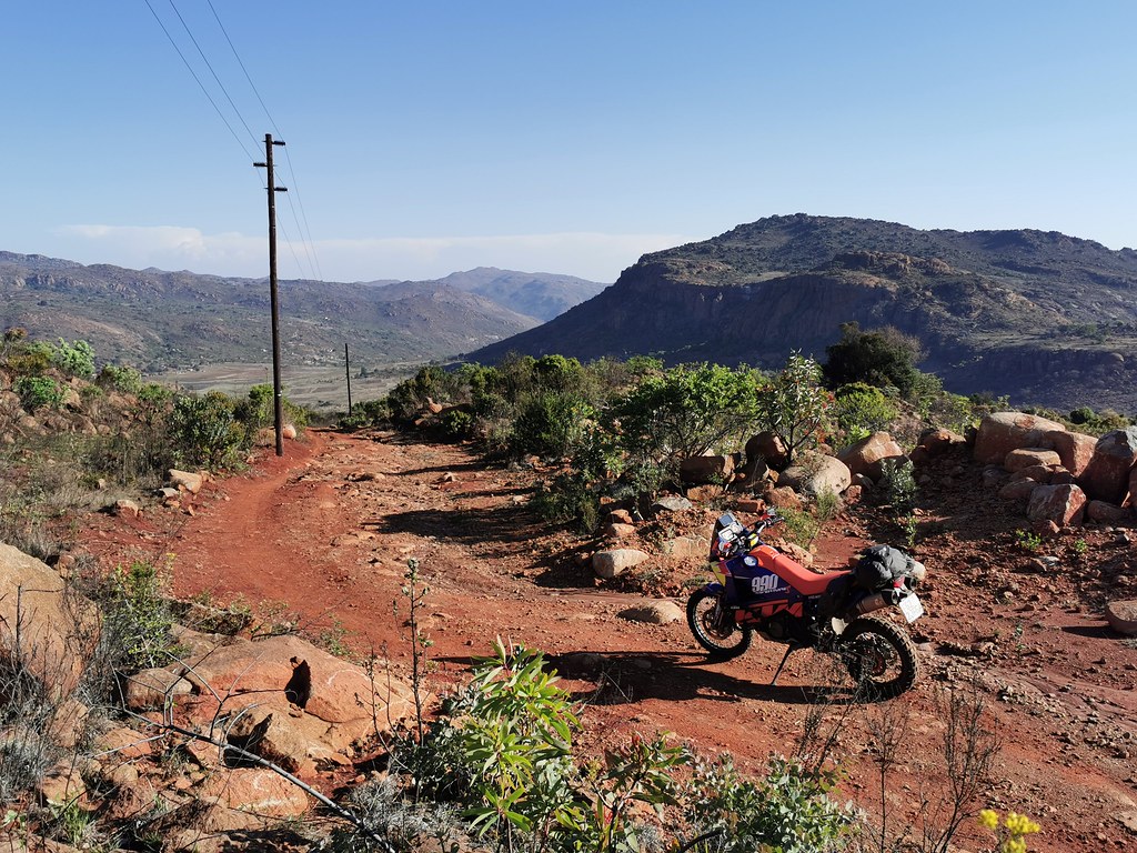
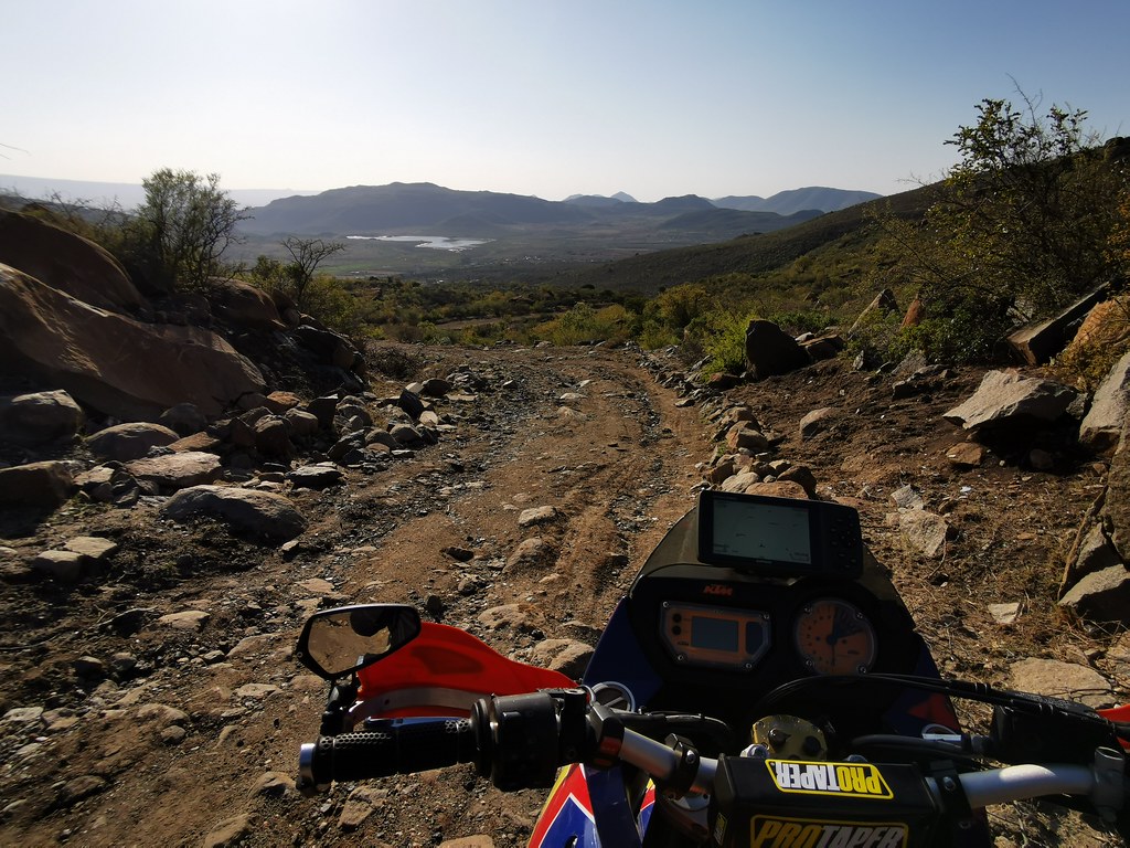
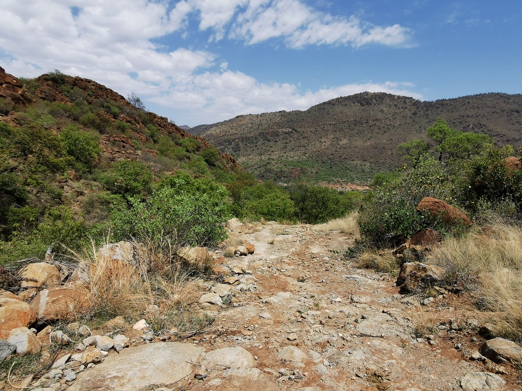
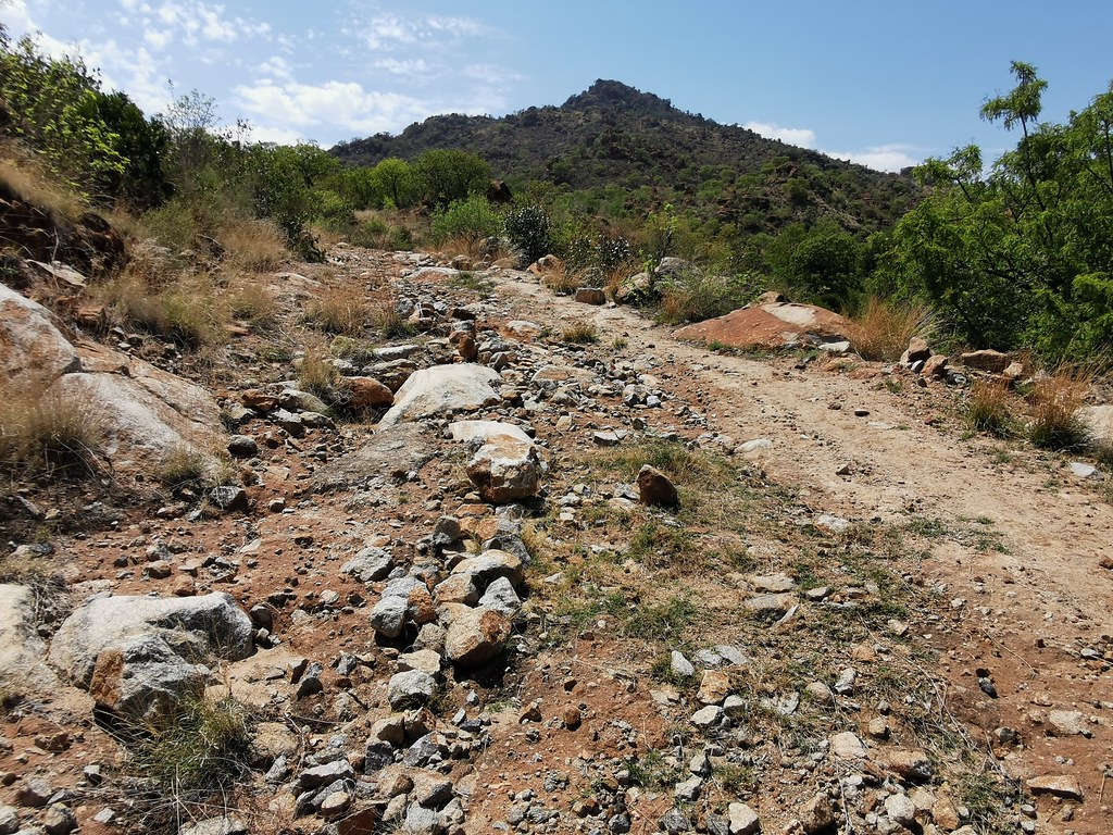
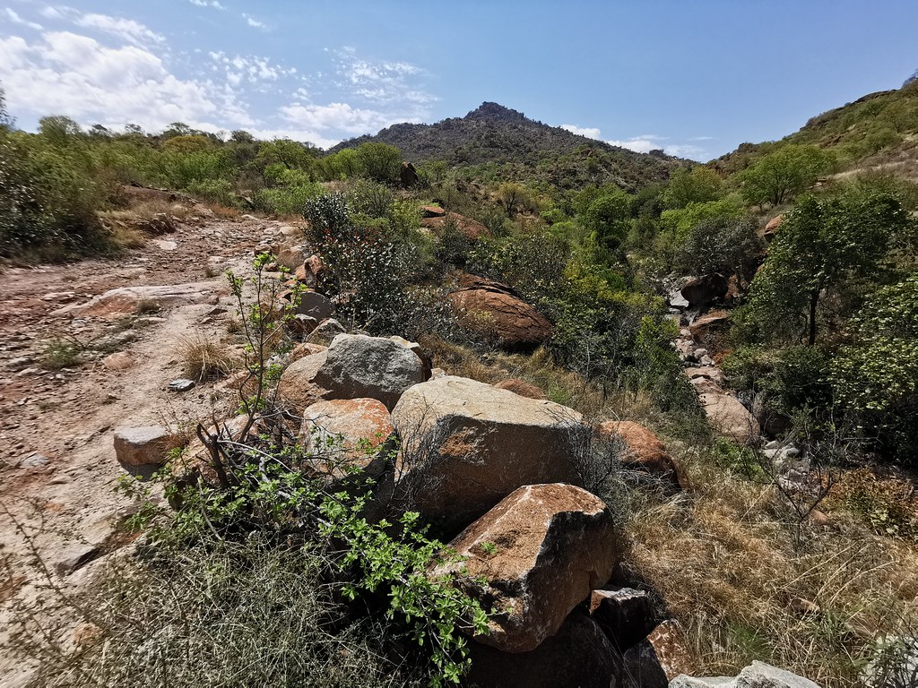
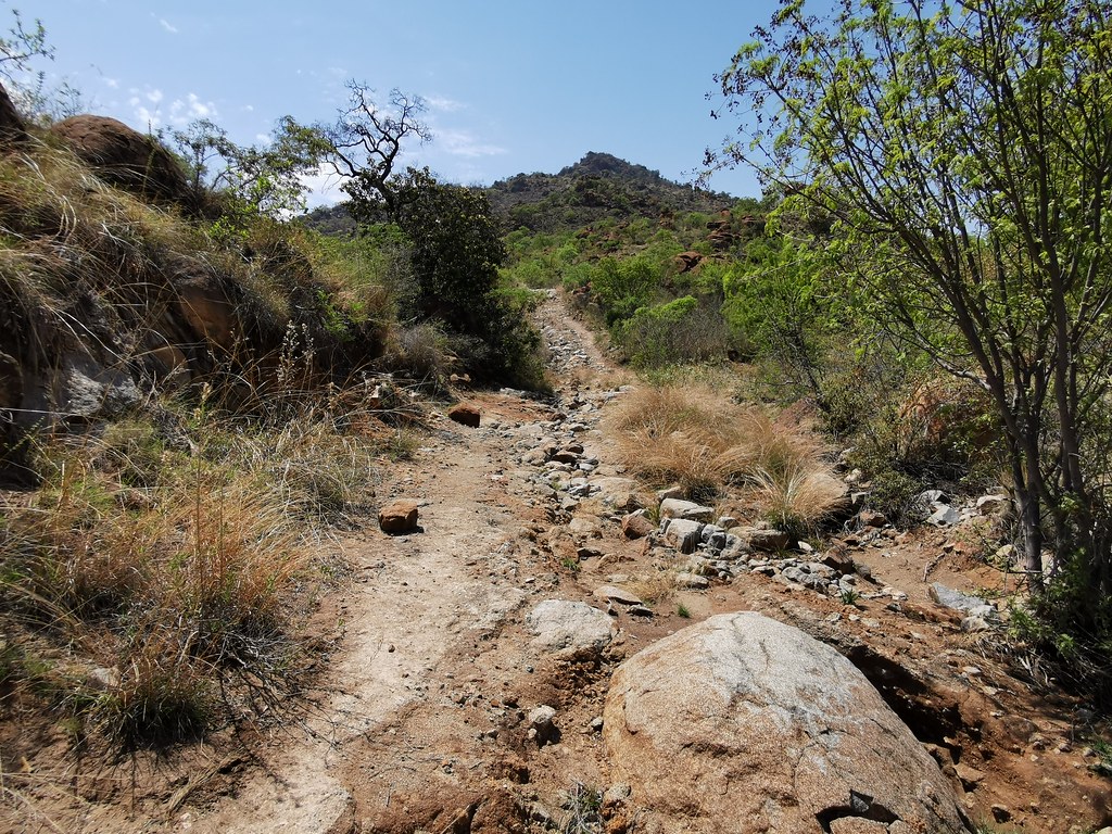
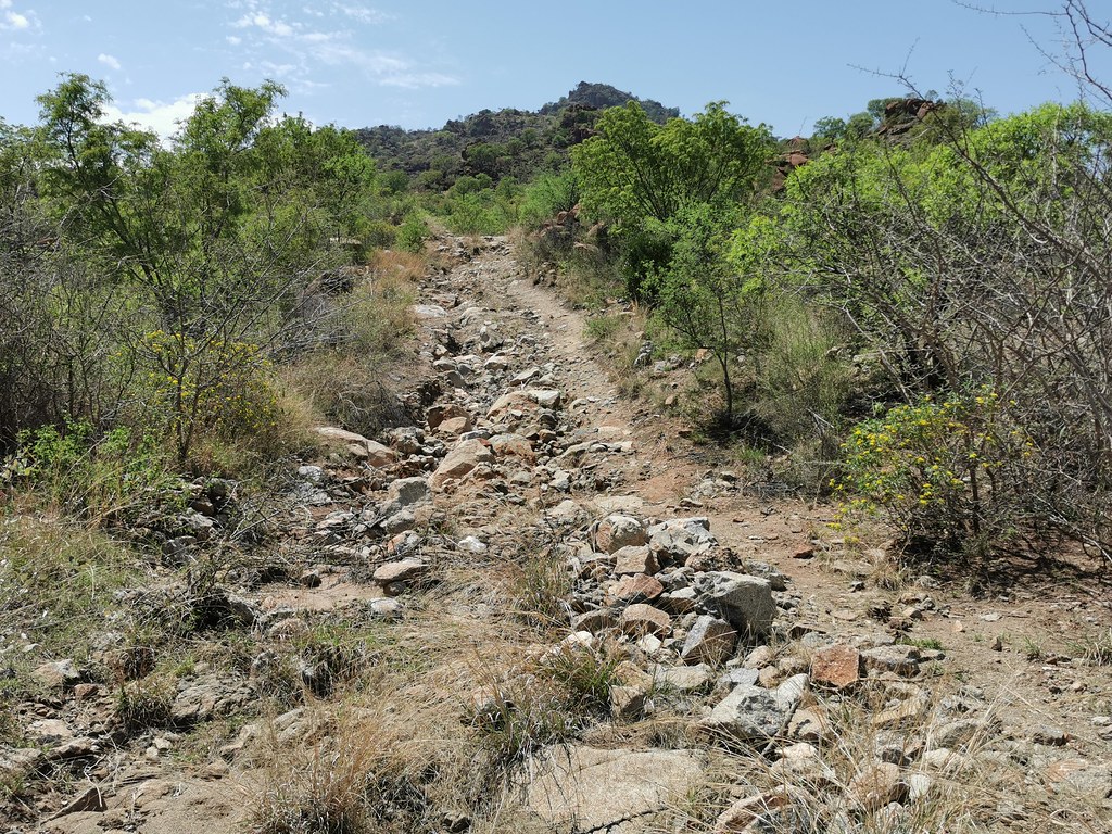
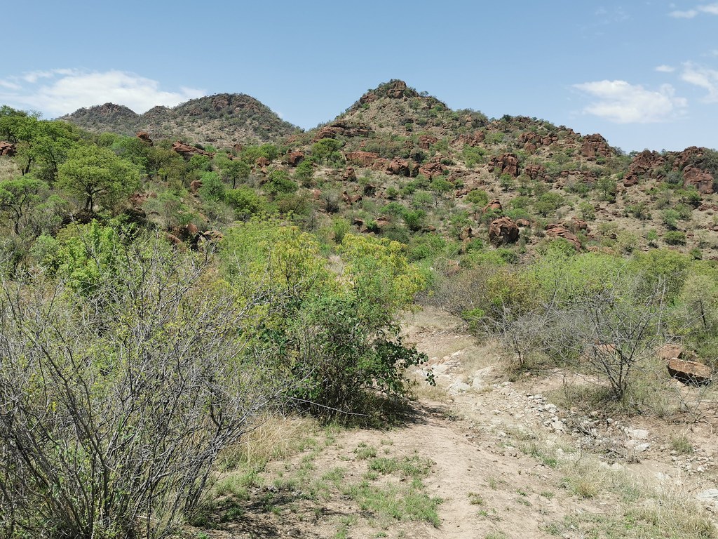
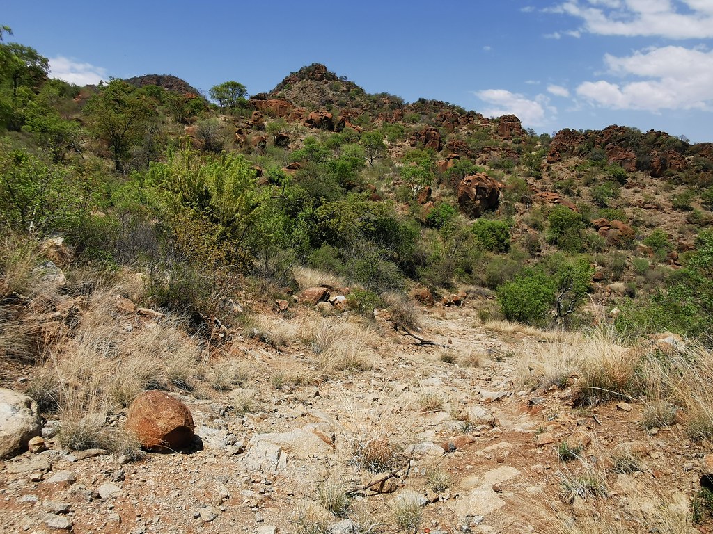
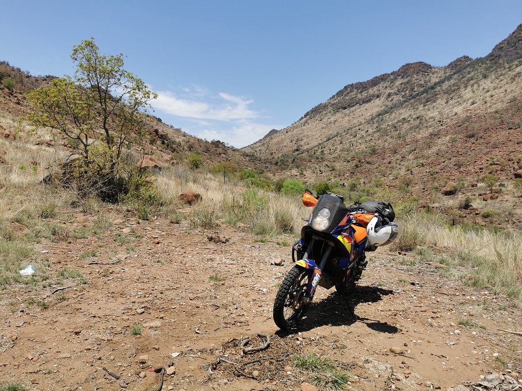
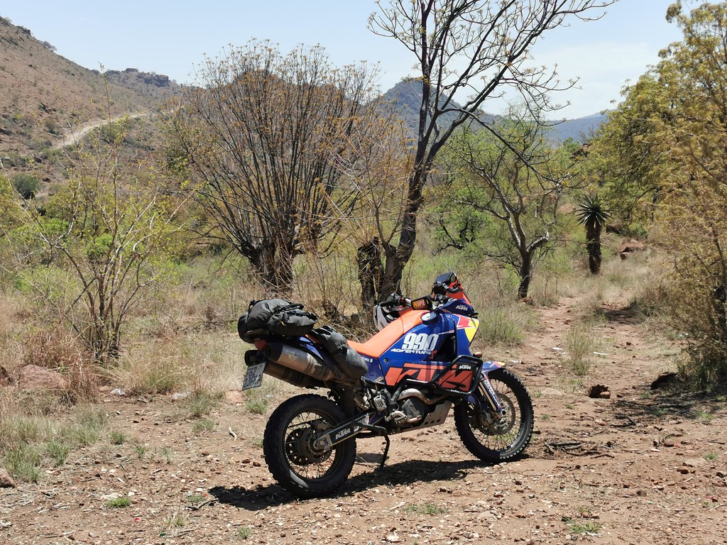
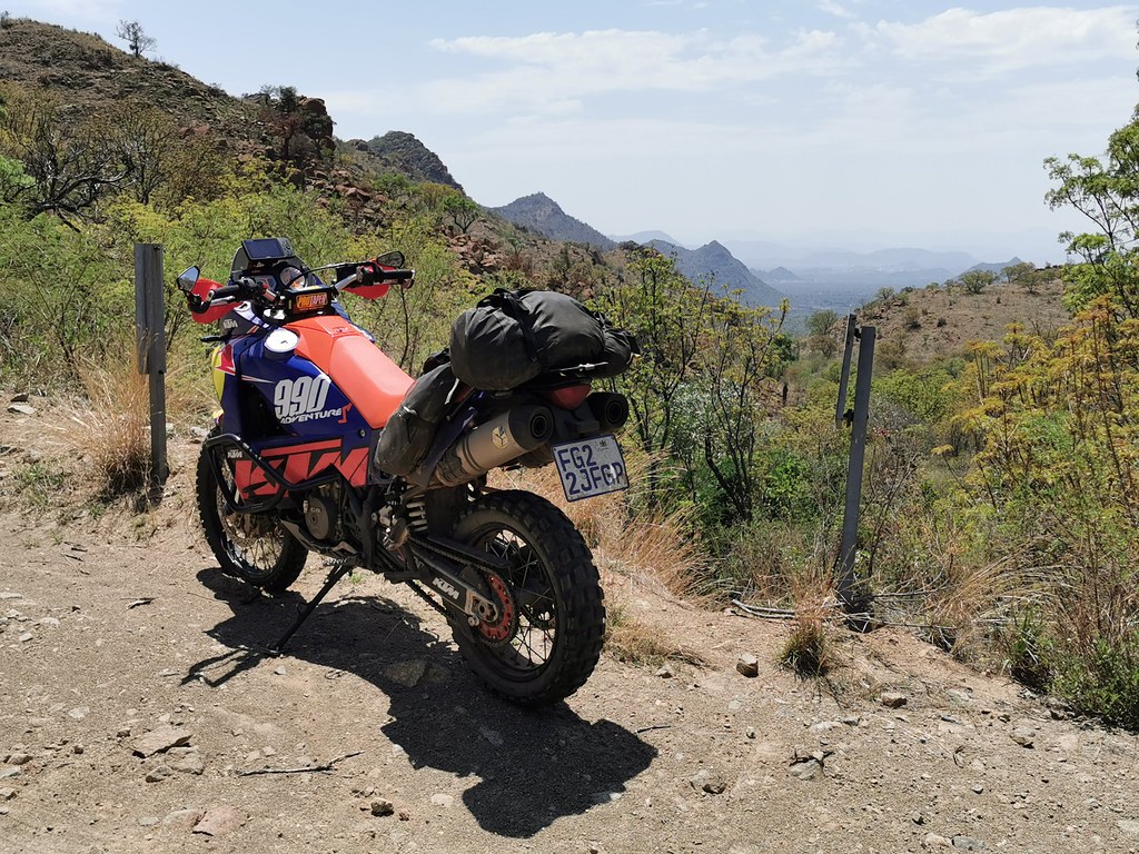
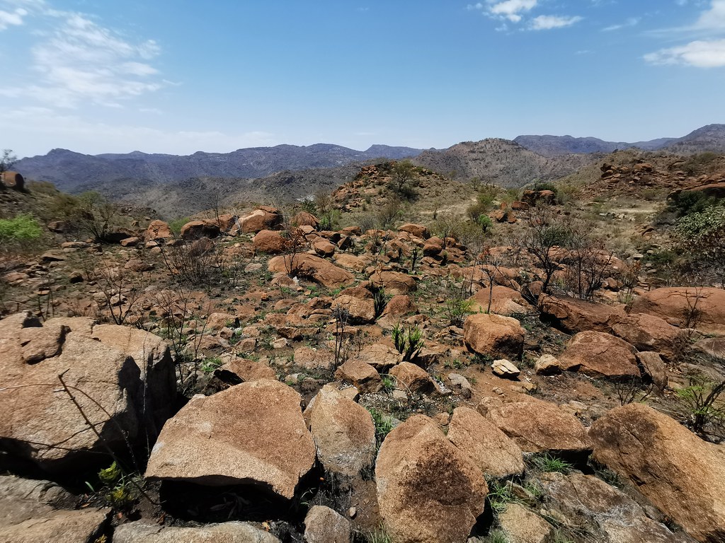
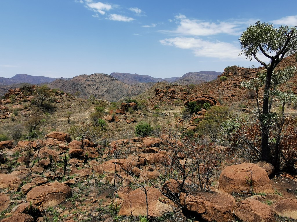
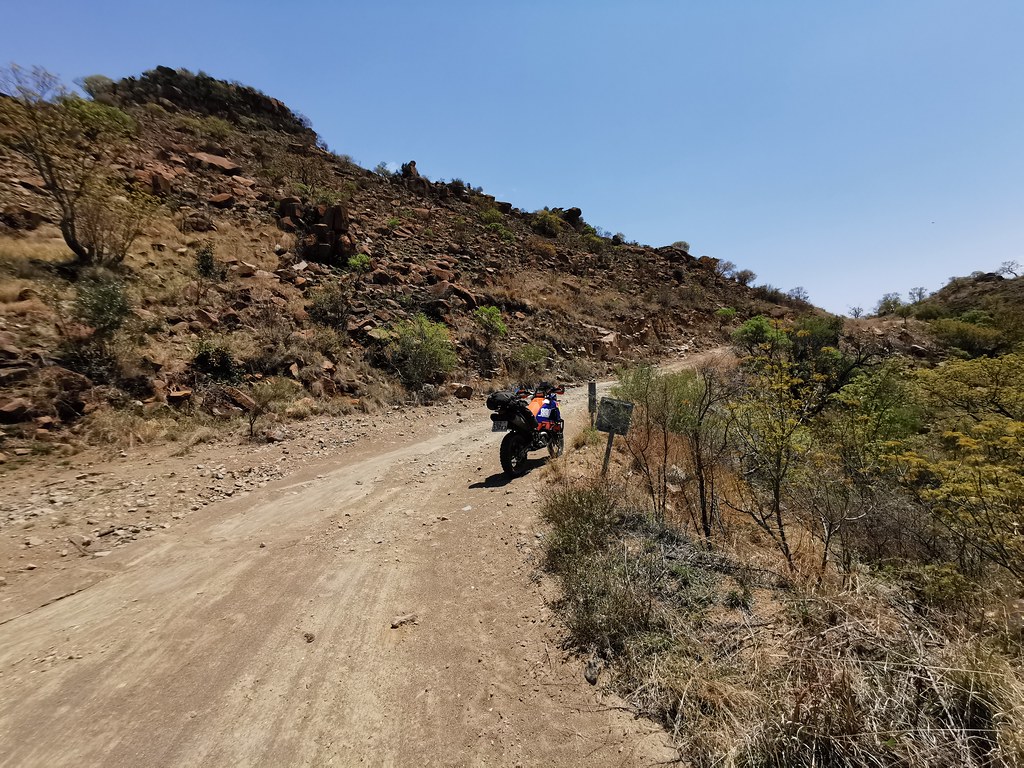
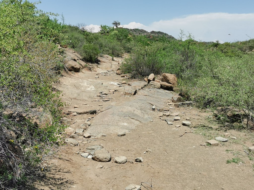
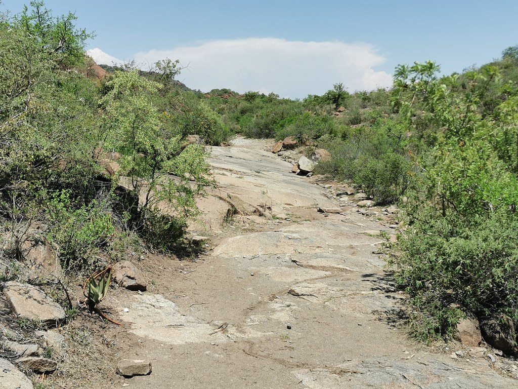
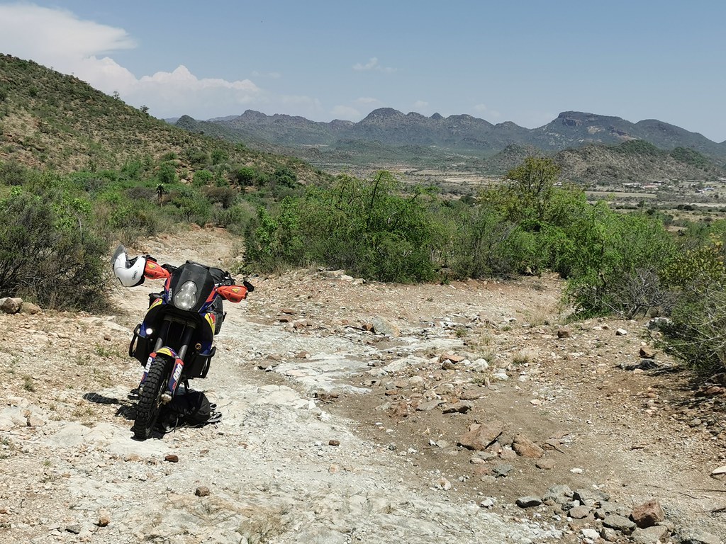
I came to a crossing where the main road descended west down the mountain, while much less frequented side road continued north. I too the road north pushing hard as it was getting late and I still hoped I can make it to the pass running east west across the range at about middle of its length. As this was the road less travelled it became more interesting and gnarly peppered with somewhat technical sections here and there.Much better than the dirt highway I was on for the past 20 or so km.


50502755032_7e32d3dd1f_b.jpg


50501885878_a9d784e282_b.jpg


50502754442_627d02773c_b.jpg


50502756552_e767f8cebf_b.jpg


50501886543_c94ec6c3e0_b.jpg


50501886383_9e590cf5d1_b.jpg


50502757237_5884c408e9_b.jpg


50502603781_52ec229126_b.jpg


50501887298_c820e68a74_b.jpg


50502757942_298d822601_b.jpg


50501889803_76fee5439f_b.jpg


50501889973_2c7db9a83f_b.jpg


50501888058_92c5e2012c_b.jpg
 
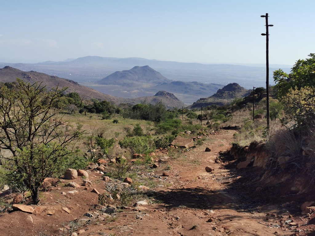
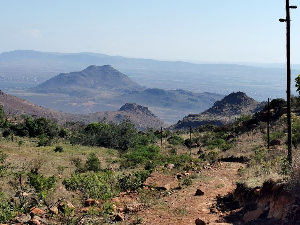
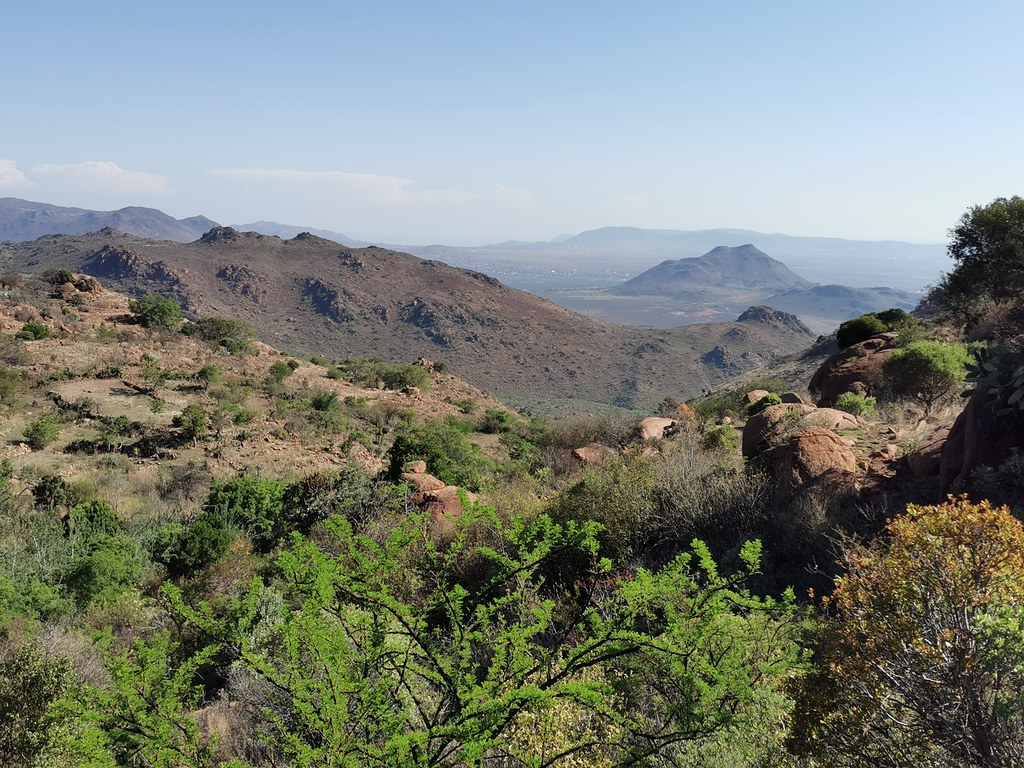
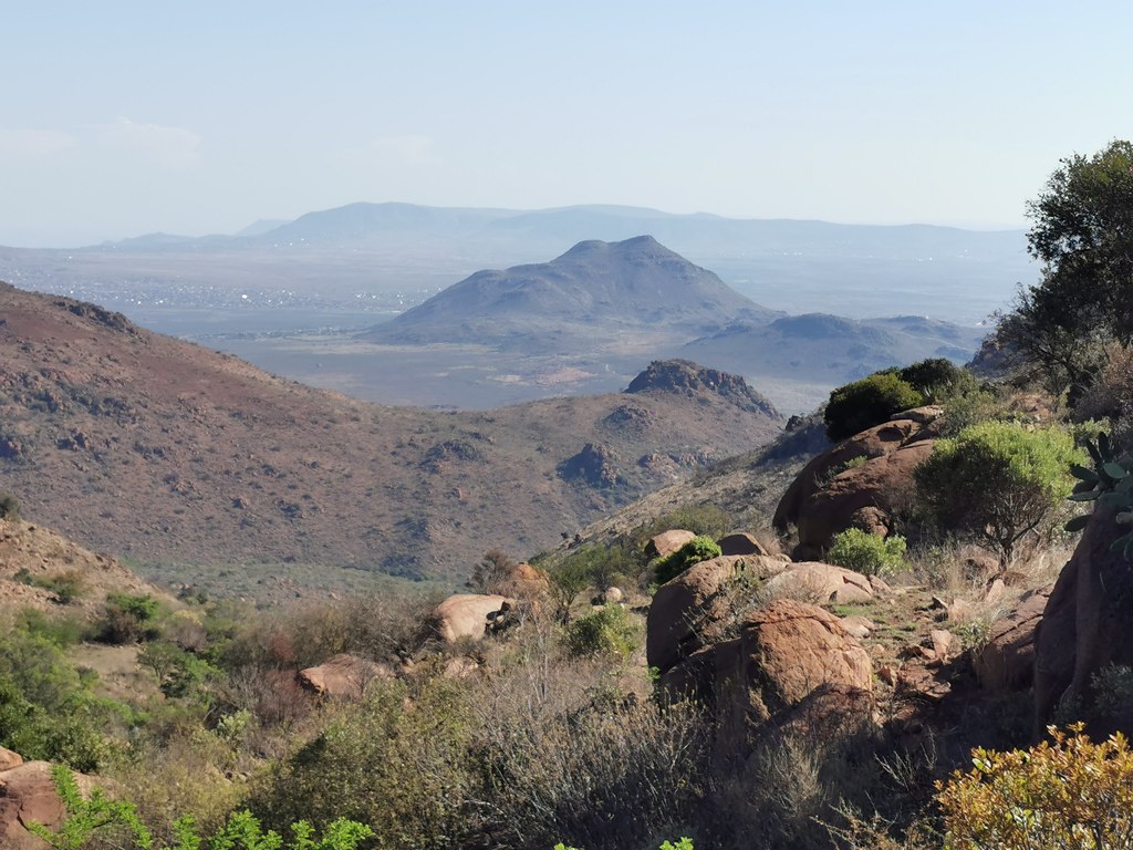
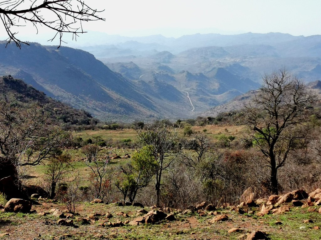
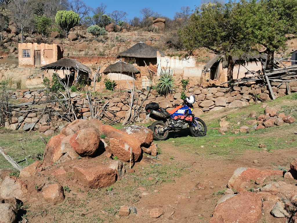
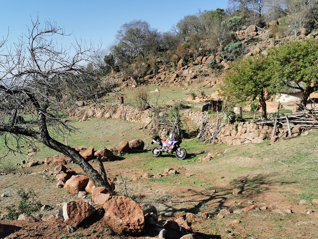
Eventually the track ended in a little decreipt kraal, from which I could clearly see the road running over the pass I was aiming for to the north. But it was still about 6 km away as the crow flies and there was no obvious track heading that way. The two locals confirmed (I think, they spoke only Afrikaans, which I'm not fluent in) that there indeed is no way down to the pass. There was big boulder field that I might have even attempted if I would know that there is track further down the valley, but as I didn't know that and as it was past 4 pm now, I conceded the defeat for today and turned back to backtrack dozen or so km back to the dirt highway and run down the west side.


50502758817_ce6ca6e0cf_b.jpg


50502607431_1b19226fec_b.jpg


50502759847_719e853e42_b.jpg


50502606601_c064cc1dbb_b.jpg


50502761712_7892ecc98e_b.jpg


50502608461_dd45498afc_b.jpg


50502608066_2932893523_b.jpg


50502760967_ed97e8dd19_b.jpg
 
Heading back to the dirt road and down the west side of the mountains:


50501894198_2cf315e690_b.jpg


50502762377_502a296eb7_b.jpg


50501892743_ffc4bd3548_b.jpg


50502609241_98a7dbf80d_b.jpg


50502764507_bd67ca3488_b.jpg


50501894543_eb5f40cd69_b.jpg


50502610161_a303d0191a_b.jpg


50501896123_b5ffd1254a_b.jpg


50502765207_3830312d43_b.jpg


50502612371_0be93c8265_b.jpg


50502611786_f881bae3be_b.jpg


Down in the first village I stopped for the cold Coke and then rode through uncontrolled village sprawl in the diminshing light 50 km back to Steelpoort for sleepover.
 
Any chance of taking the 690 to explore more of the obscure tracks in the near future ? This is good stuff !
 
sidetrack said:
Any chance of taking the 690 to explore more of the obscure tracks in the near future ? This is good stuff !

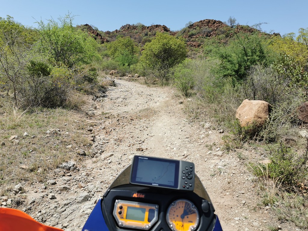
I will go again with 500. 690 is too heavy for some of the sections - at least solo.
 
Next day I woke up to even hotter day. The plan was to gun it on main tar / dirt roads to that pass I failed to reach yesterday and just got glimpse from 6 km away and try to find connection back south to the roads I have ridden day before. Looking at the satellite images night before on my phone, I spotted track I missed at home and it looked promising, so I was keen to find out what is what.

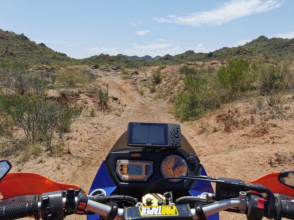
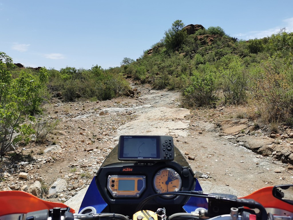
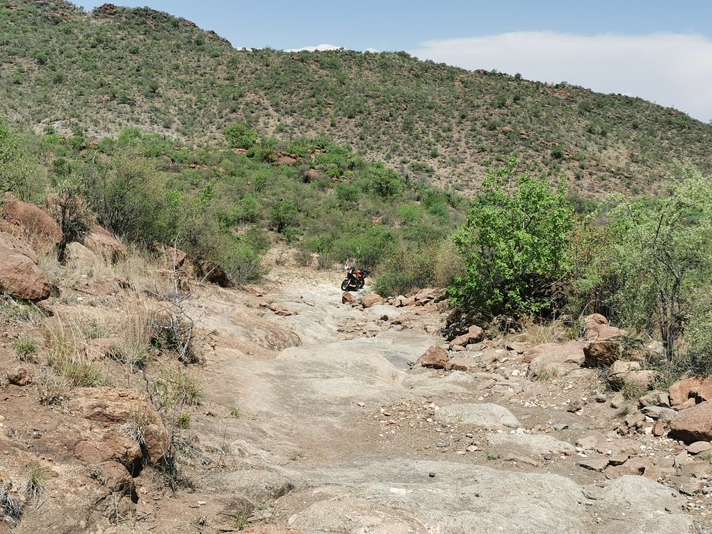
I made it to the pass without glitch through the urban / village sprawl prevalent in these parts thanks to unregulated free for all construction approach. I found the track I have seen on the satellite and hit it straight away. I turned nasty straight away. Still fresh in the morning I cleared first two - three rough bits in one go, but then decided to take it easy, stopped and went to investigate on foot, as the gradients and terrain indicated that sooner or later I'm going to run into proper hurdle.


50512509207_3a308c1303_b.jpg


50512344661_32b9c6258f_b.jpg


50511629763_fa7099c393_b.jpg


50512344181_d358fe9568_b.jpg


50511631913_fc6ba18e1b_b.jpg


50512346106_27dc704a40_b.jpg
 
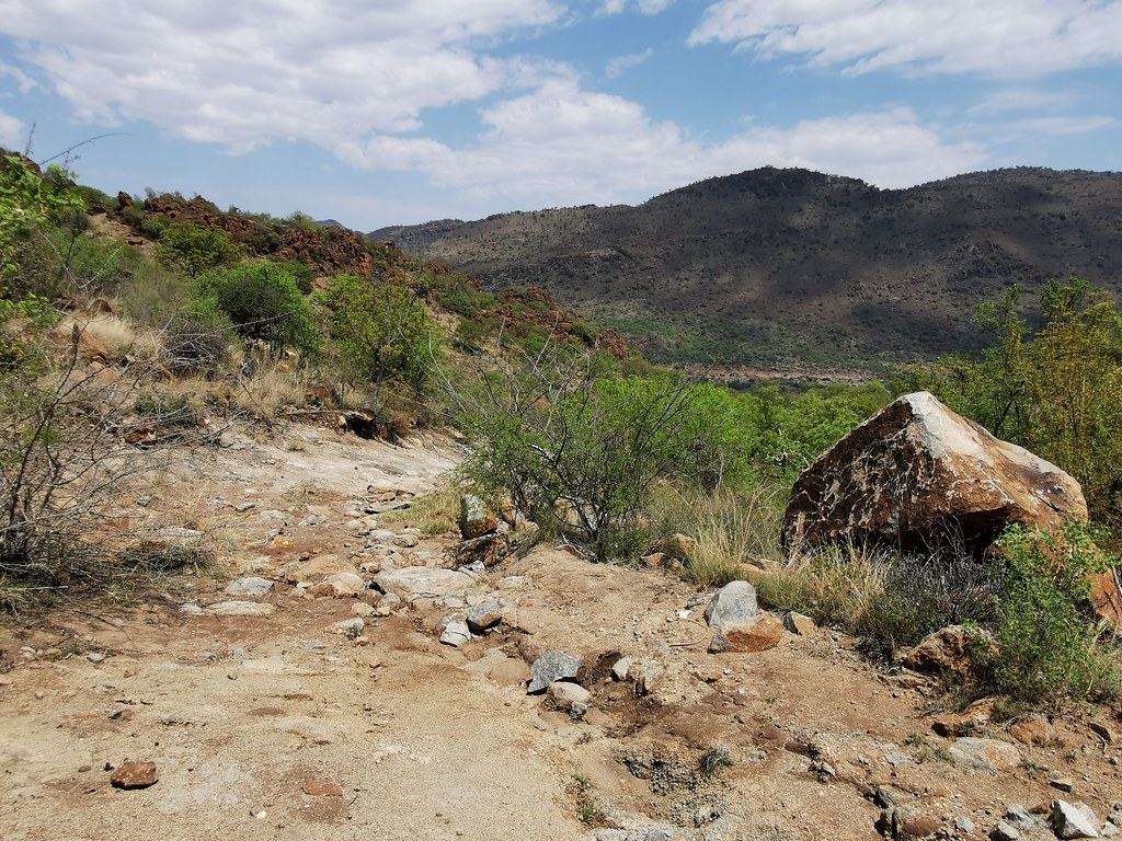
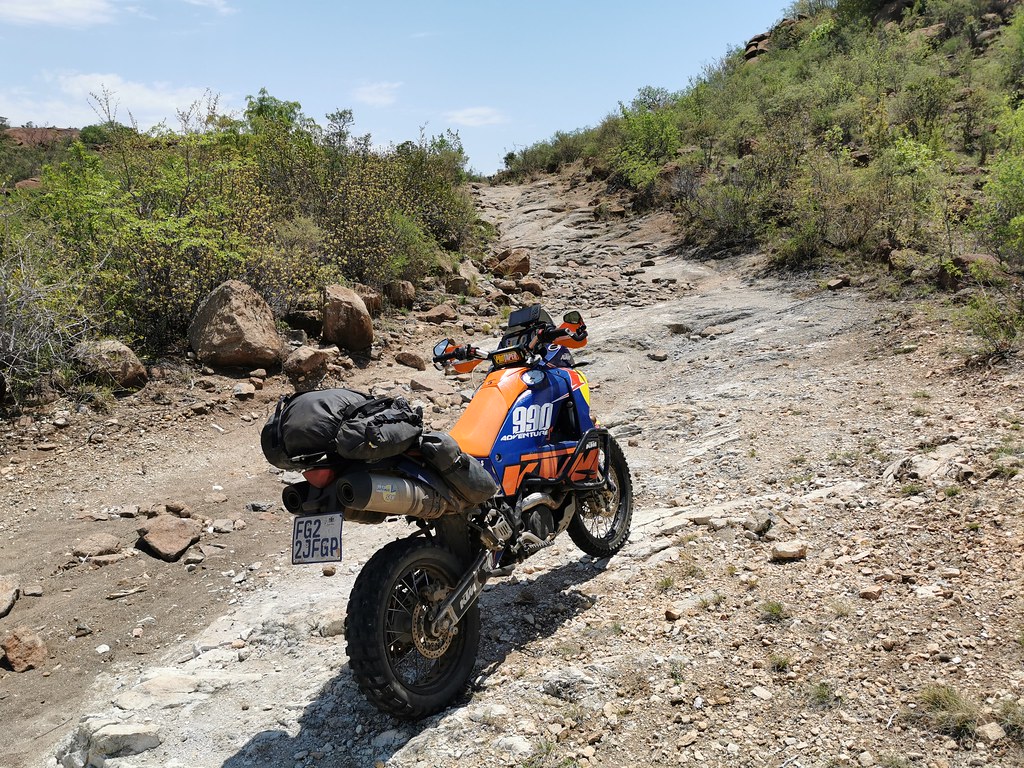
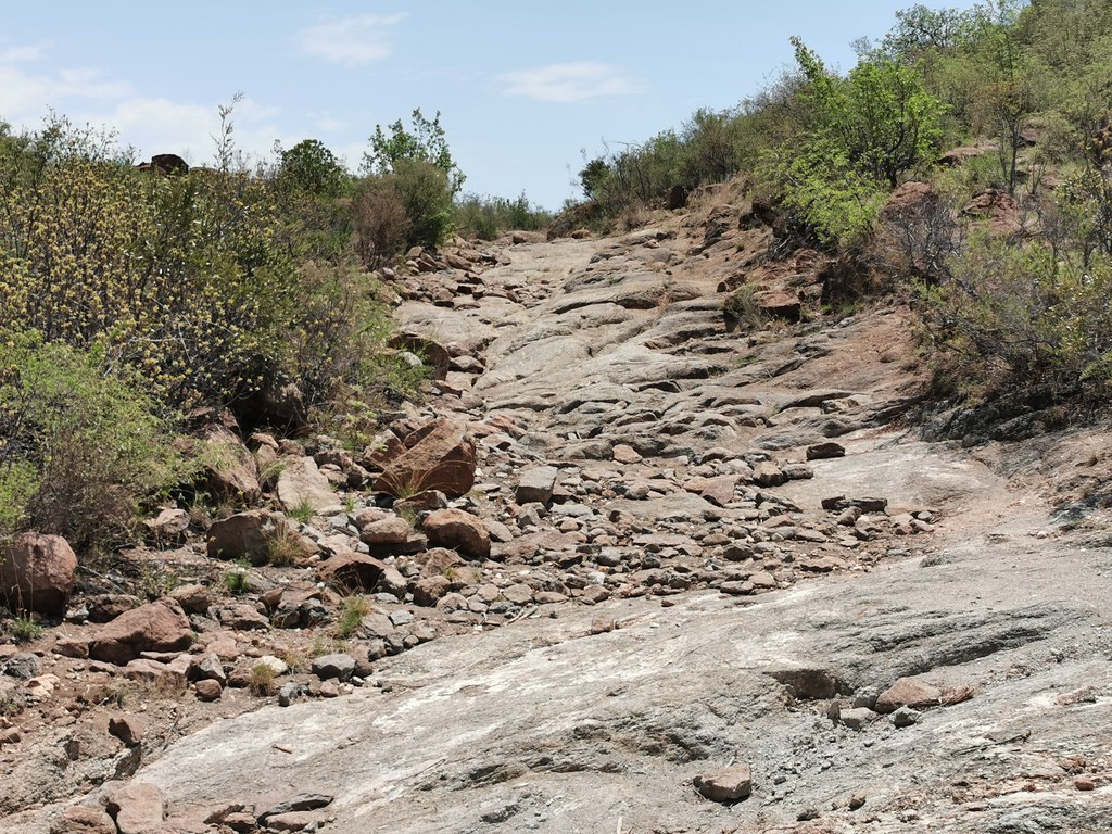
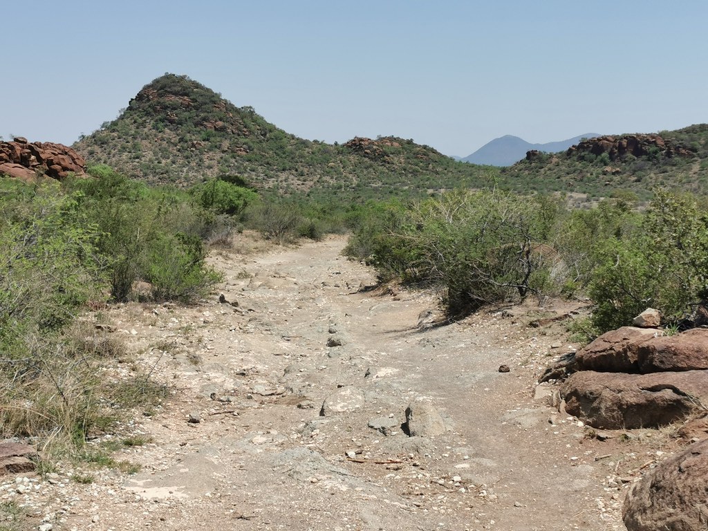
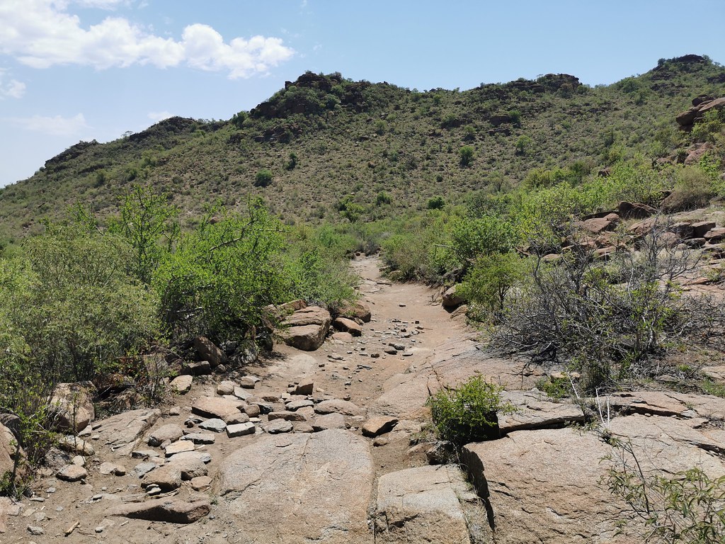
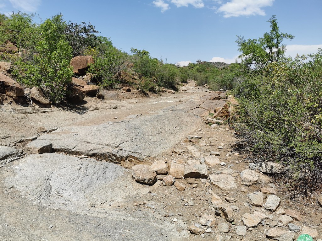
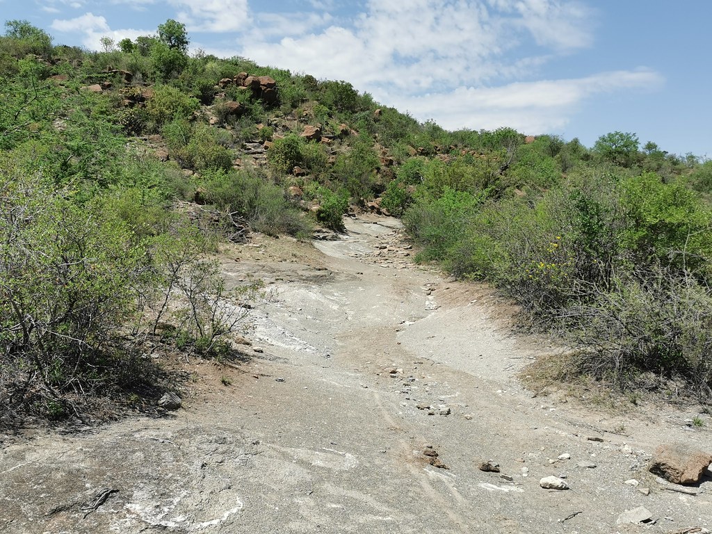
And sure enough, right around the corner the things got interesting. I have walked two - three hundred meters up and the track was badly washed out. I would consider trying it on 990 being fresh with group of people willing to lend a hand. But I was pretty wasted from the day before, it was hot and solo, so decided to rather come back on 500 later on and returned back to the main road running up the pass.


50512510517_20508e01aa_b.jpg


50512510567_db1aedbde6_b.jpg


50512346856_cf9aa61e6f_b.jpg


50512512352_d89a26fe47_b.jpg


50512349841_59c1249d58_b.jpg


50511633948_6e4b34602a_b.jpg


50512348316_f9bb82c239_b.jpg


50511633323_7530b55f86_b.jpg


50512513092_e3fa1decd5_b.jpg
 
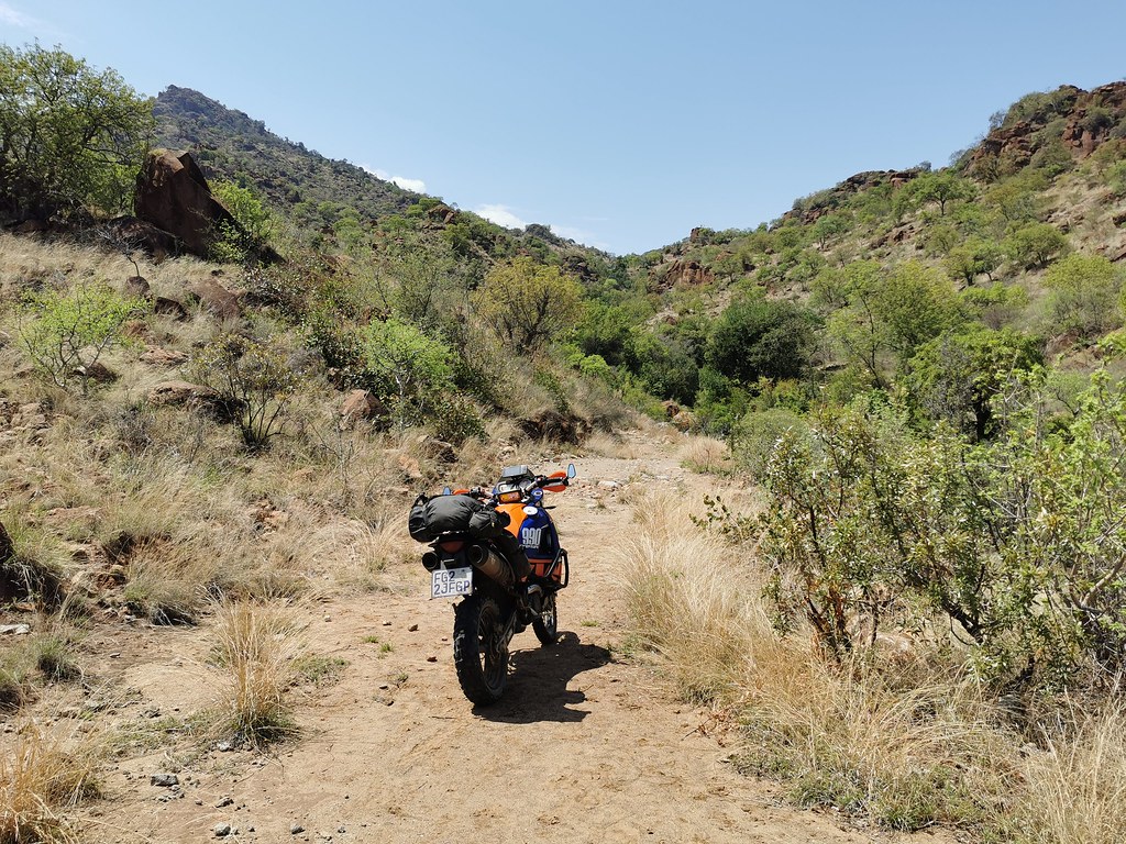
Riding up the pass, I went to check another candidate for the connection south km or two up the road in the sharp bend - the one I have seen yesterday from high above about 6 km away. Promisingly there was track going up the valley, but annoyingly it finished after about km or 2 in little clearing in the grass. Absolutely no idea of what the point of the tracks was.


50512514737_5fc06ccca4_b.jpg


50512514672_bf5fe29143_b.jpg


50512348741_57696641d7_b.jpg


50512514282_b724f40437_b.jpg


50512515517_9630976dd6_b.jpg


50512350826_236aa0be11_b.jpg


50512515067_ec425af5c4_b.jpg


50511637123_777b7db5a7_b.jpg


50511636873_d6ac3ff495_b.jpg


50511636598_bb8e257c8f_b.jpg
 
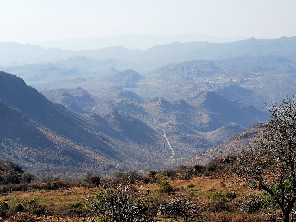
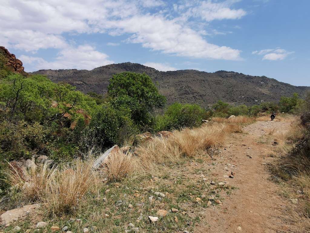
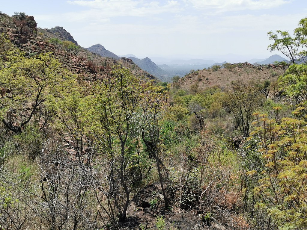
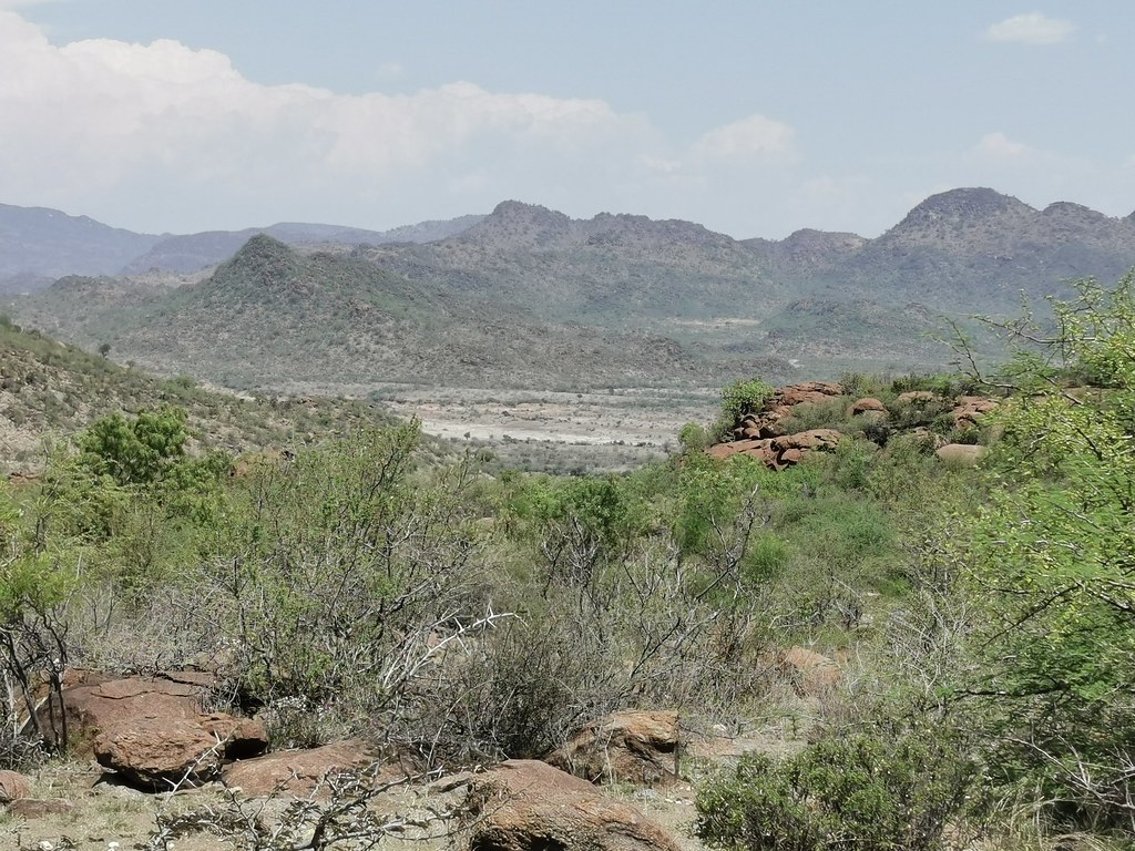
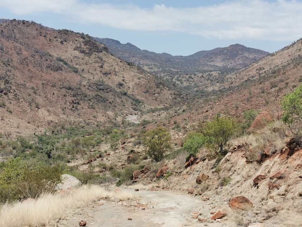
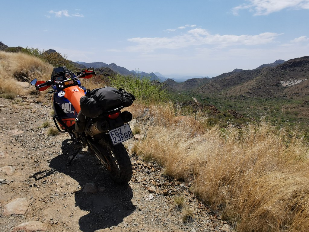
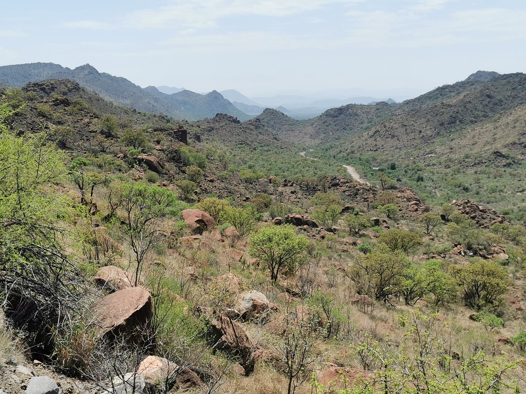
After the little detour I continued on the main road up the pass. In the upper reaches the pass got gnarly in places, but nothing that average guy who has done let's say Sani pass on big bike couldn't do. The views from the higher up are quite impressive.
50512350761_2aab0295ed_b.jpg


50511637858_ec568f78b9_b.jpg


50512517187_b8280e0d29_b.jpg


50512352281_131e560ff4_b.jpg


50512516822_8b3b65967e_b.jpg


50512353451_561b9361f4_b.jpg


50512353186_c22c9cd215_b.jpg


50512519607_598687118f_b.jpg


50512353681_8a43c4c4ae_b.jpg
 
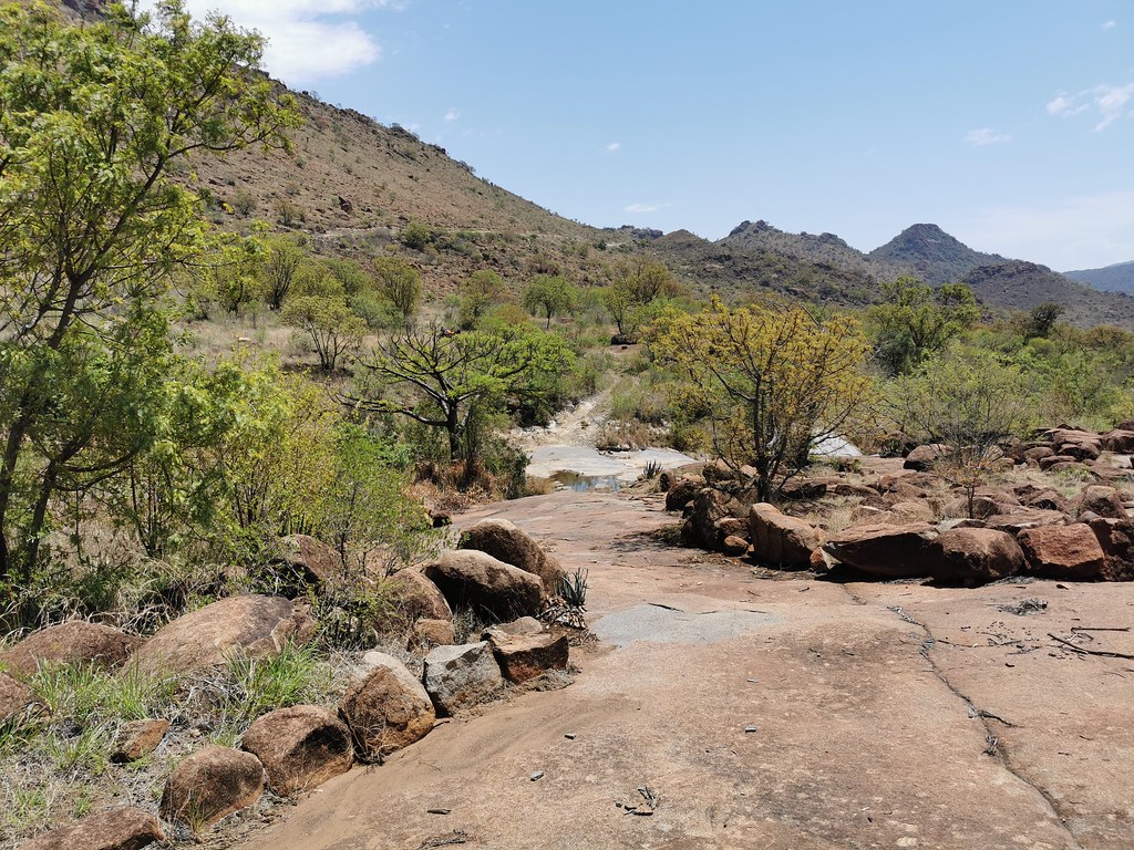
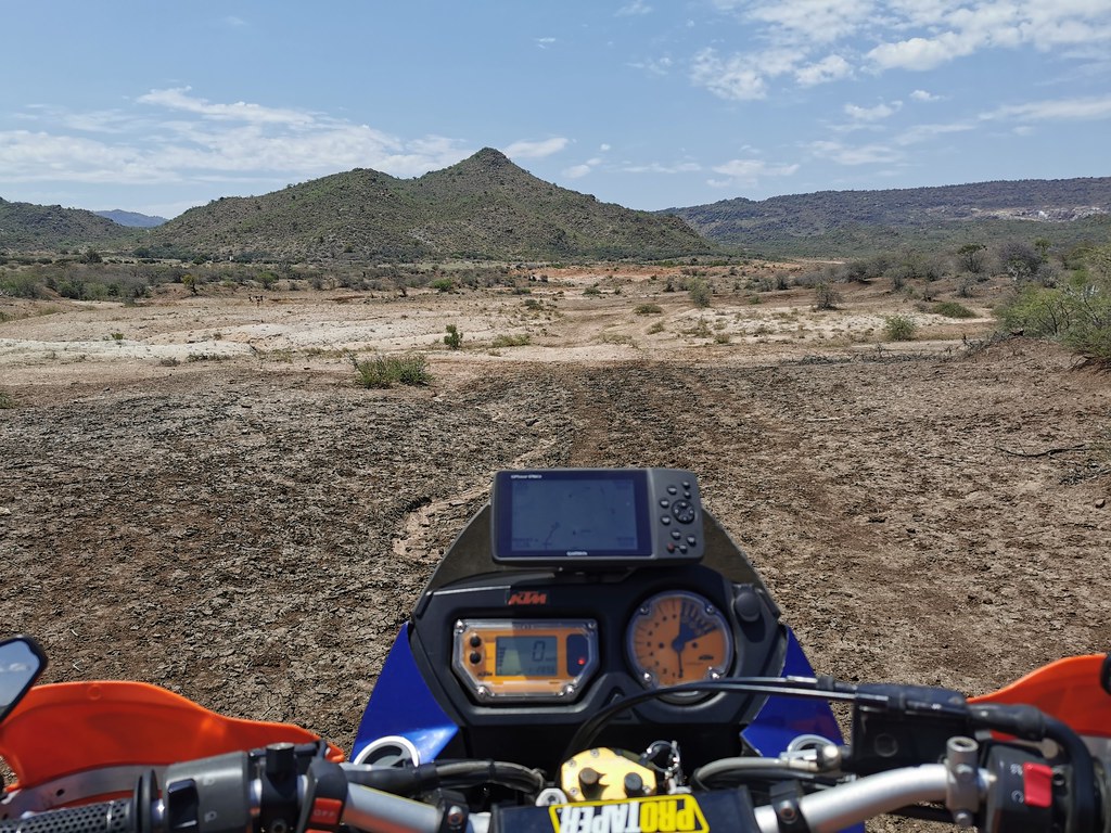
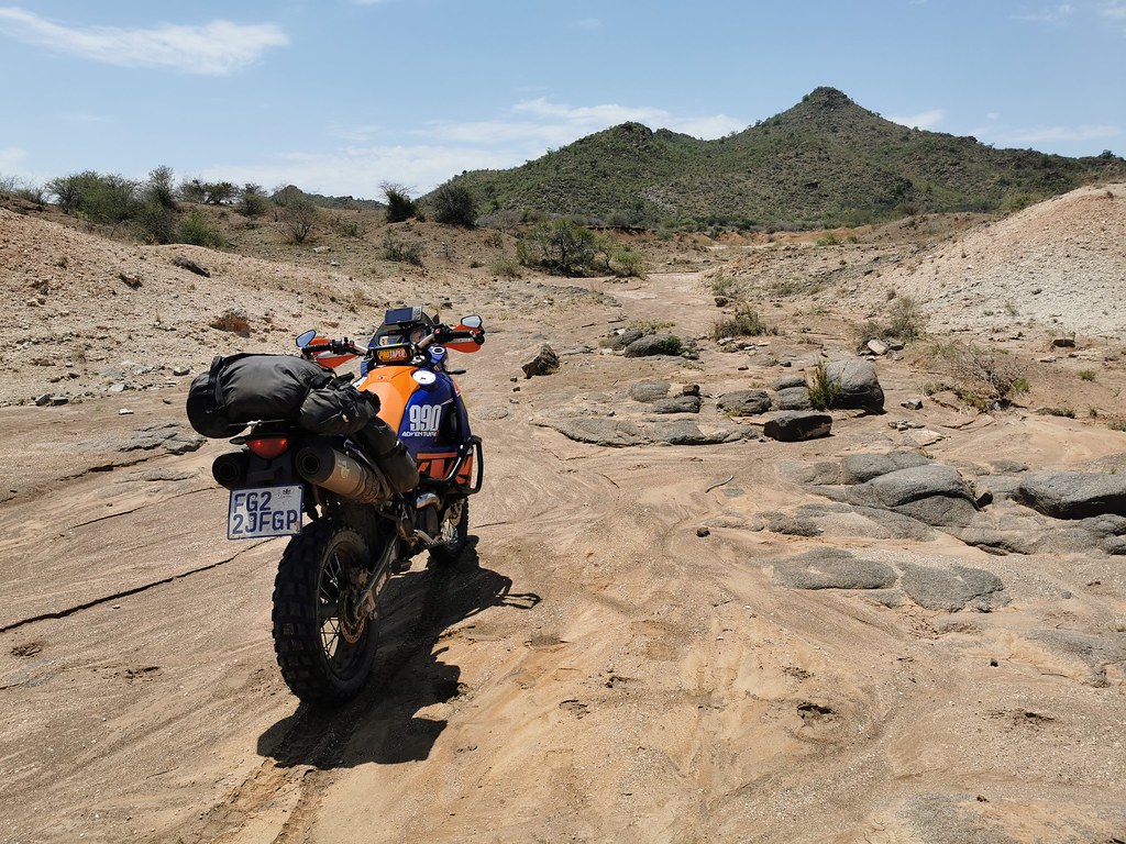
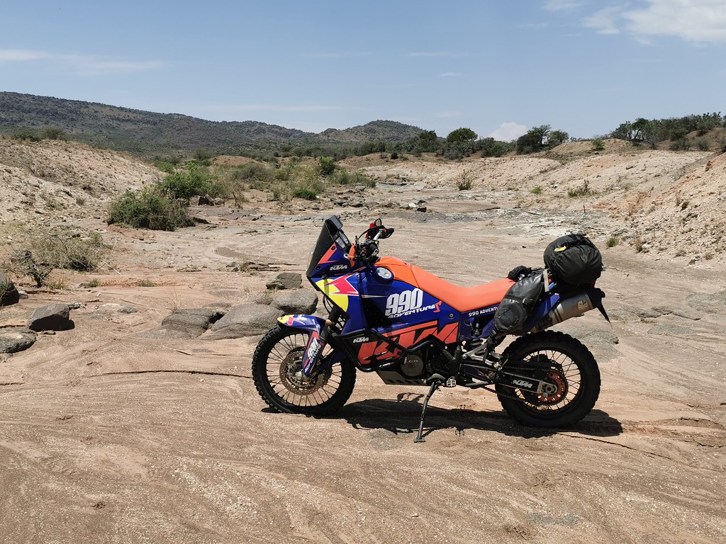
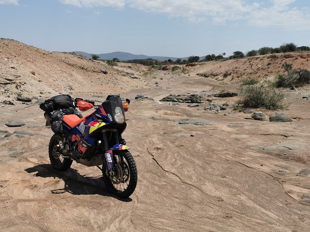
At the top of the pass I have turned to side track running noth towards couple of mines. Initially it was a mine road and soon I came to sign forbading entry of unauthorized vehicles, whatever that is. So I had to go off my plotted route - the dirt road contined down the mountain west so I pushed on until I came down to village, where I left the dirt road and went offpiste into the dry river bed in directinon of tracks I have plotted further north.

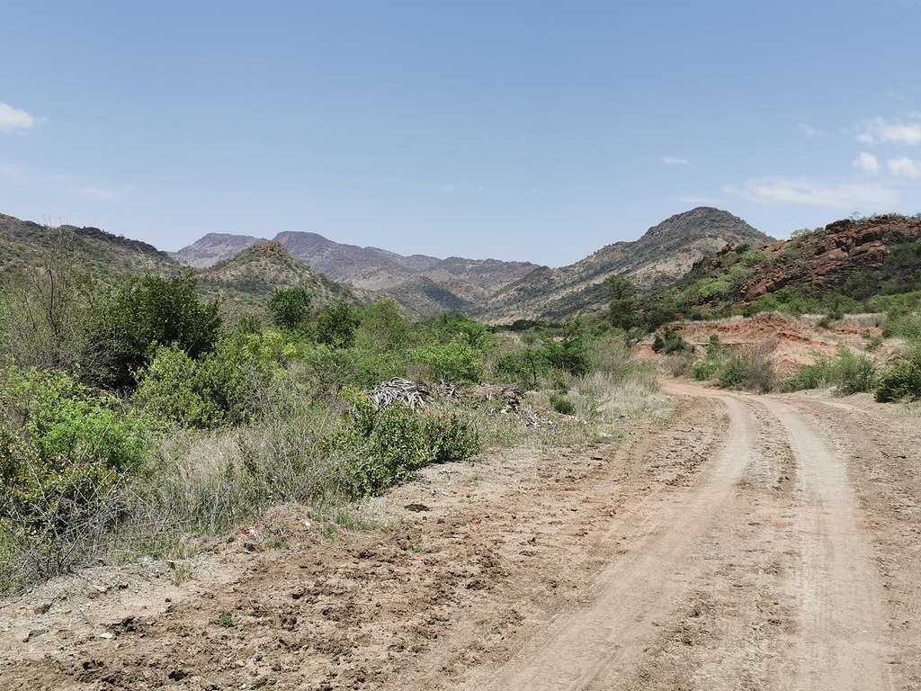
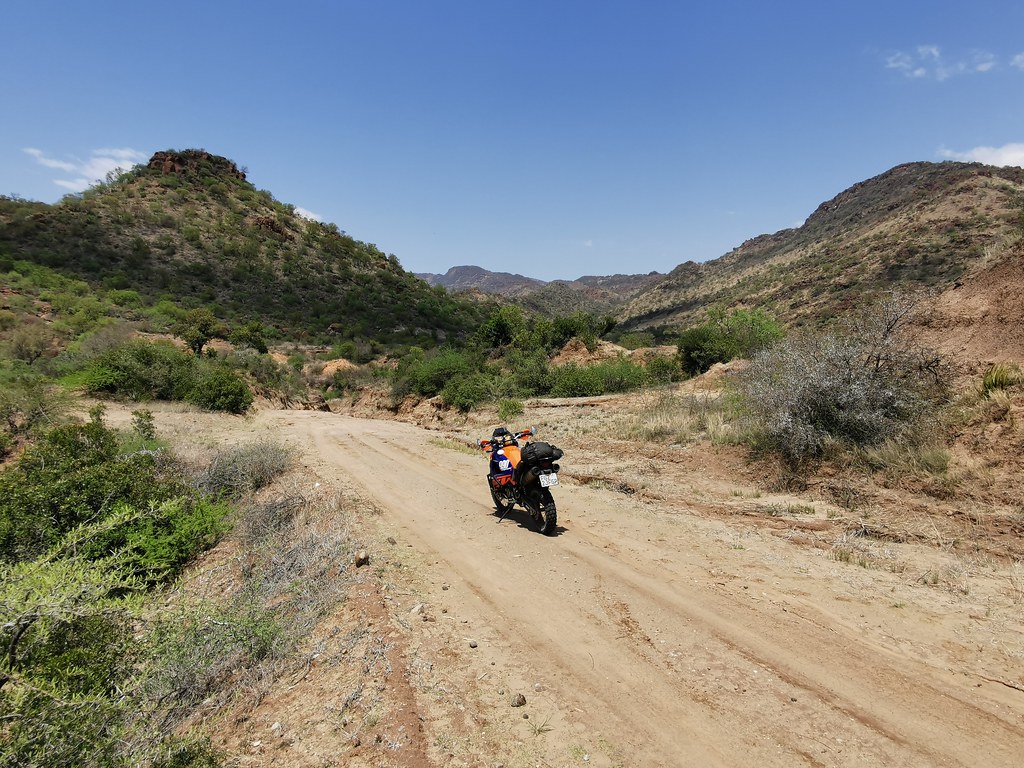
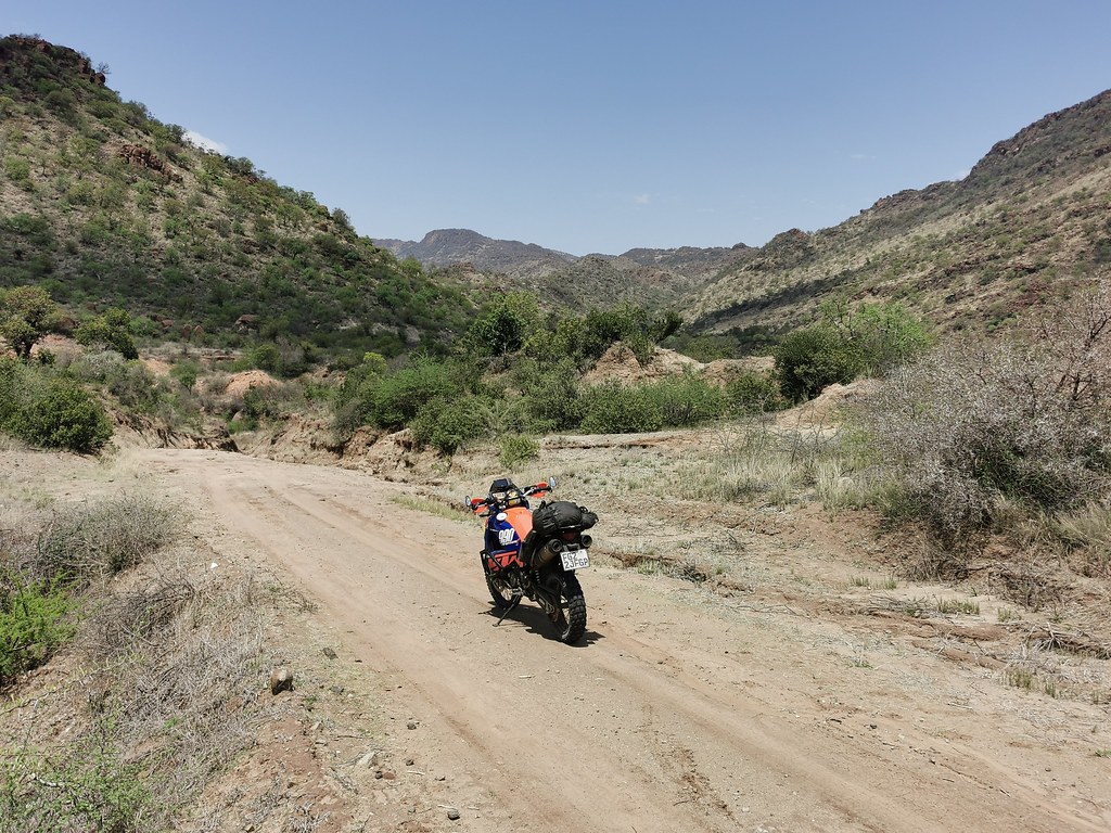
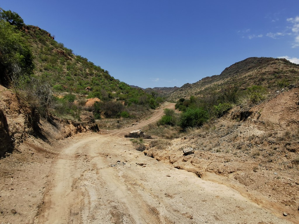
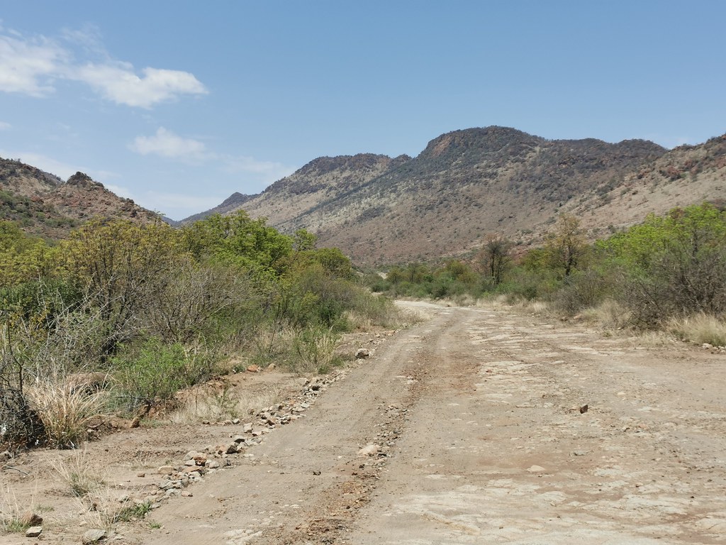
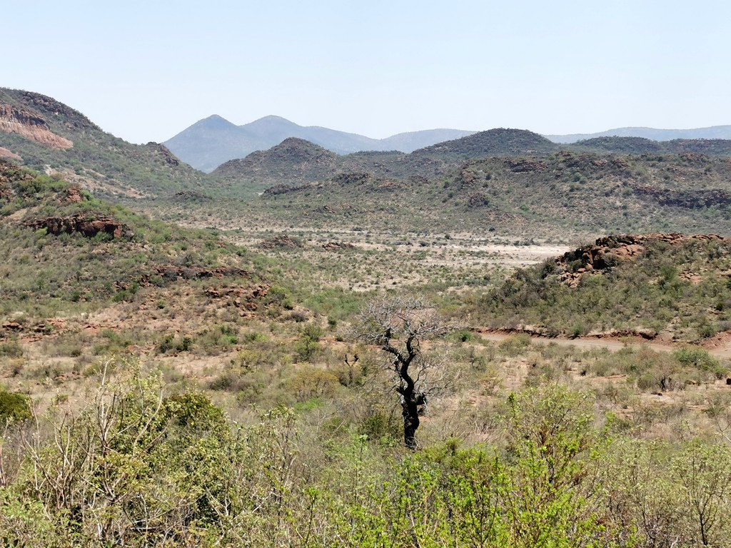
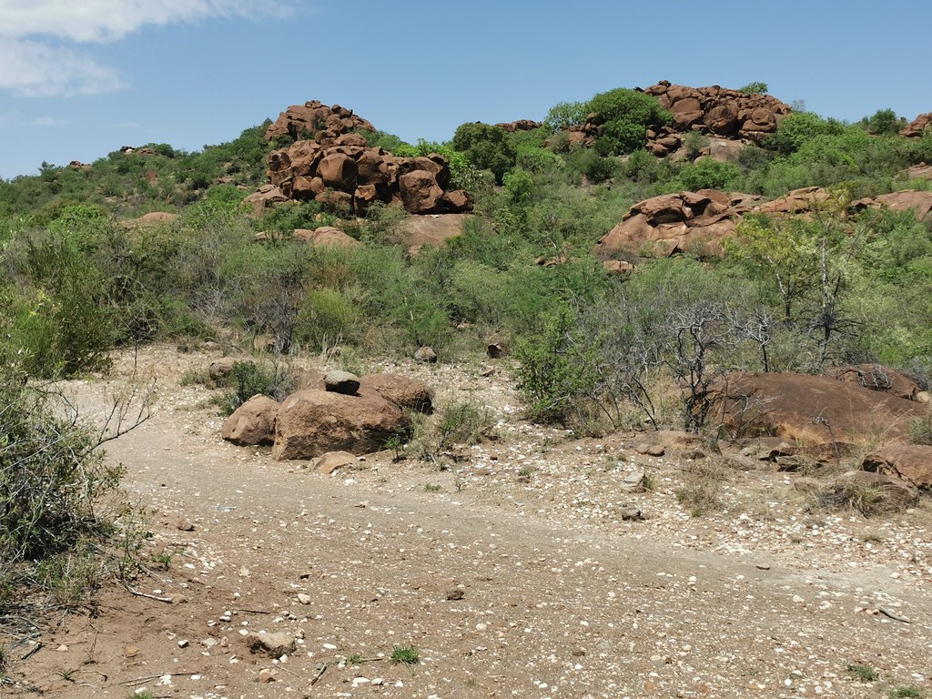
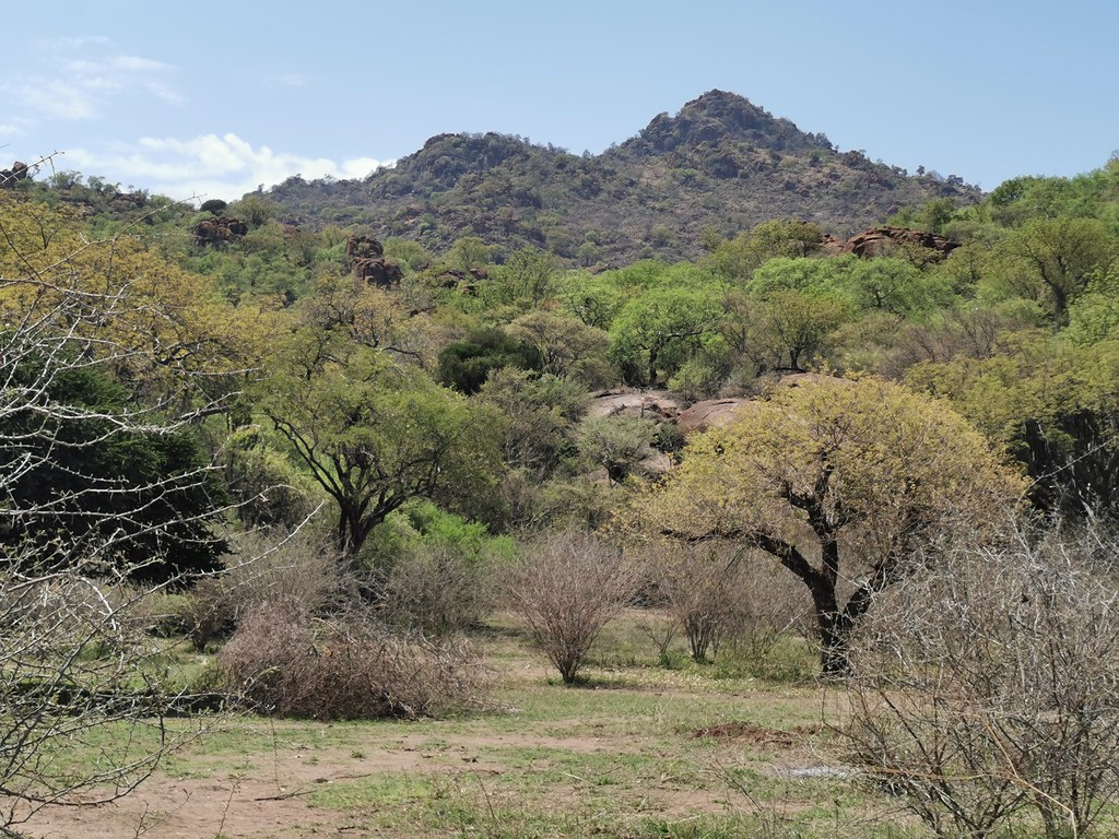
It was interesting how that pass divides the range into two quite different parts. The southern bit is higher and more rugged like Lesotho, while the northern part is series of lower koppies with flat bits in between, which reminded me of Kaokoland and of course much more rideable on big bike. I have explored around for a bit more, but roundabout 1 pm I called it a day as it was extremely hot and I had very long commute back to Joburg to still get done.

I will be back on smaller bike to finalize all the routes I wanted and figure out routes for big bikes as well as some more challenging routes for smaller bikes. Plenty of tracks and riverbeds still to explore.


50511639398_e6a2b07e92_b.jpg


50512519292_a834b1a86b_b.jpg


50512518927_a9aee88db7_b.jpg


50512520132_3090b34d0a_b.jpg


50511640273_e78c2ccdc2_b.jpg


50512355936_b3dbc5e27e_b.jpg


50511639873_0b880e9eb1_b.jpg


50511641773_1998487376_b.jpg


50512355961_acd64fe933_b.jpg


50512520577_446dc08a62_b.jpg


50512355316_1dbb87bba1_b.jpg


50511643018_df7bcd9c33_b.jpg


50511642408_3f0ec0ed84_b.jpg


50511642193_ee43371384_b.jpg


50511642128_ba2163e27f_b.jpg


50512523337_932c465cc6_b.jpg


50512523207_ed9f1ca6fc_b.jpg


50512522892_f7bc9caa9d_b.jpg


50512522657_f783010a08_b.jpg
 
Xpat said:
After the little detour I continued on the main road up the pass. In the upper reaches the pass got gnarly in places, but nothing that average guy who has done let's say Sani pass on big bike couldn't do. The views from the higher up are quite impressive.

50512350761_2aab0295ed_b.jpg


50511637858_ec568f78b9_b.jpg


50512517187_b8280e0d29_b.jpg


50512352281_131e560ff4_b.jpg


50512516822_8b3b65967e_b.jpg


50512353451_561b9361f4_b.jpg


50512353186_c22c9cd215_b.jpg


50512519607_598687118f_b.jpg


50512353681_8a43c4c4ae_b.jpg
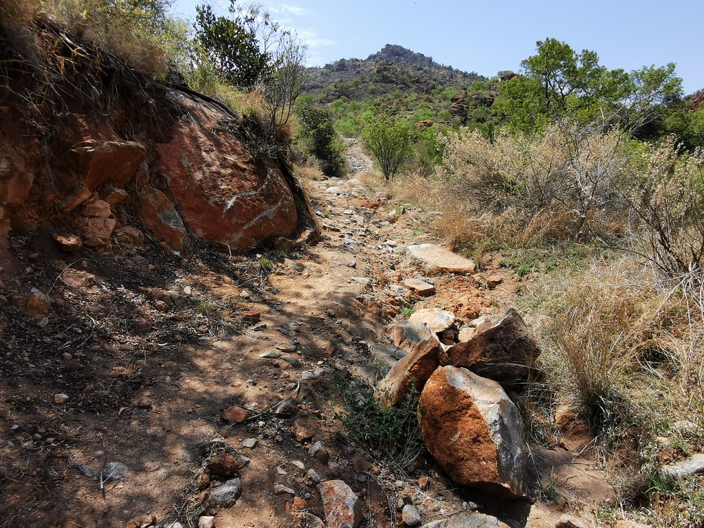
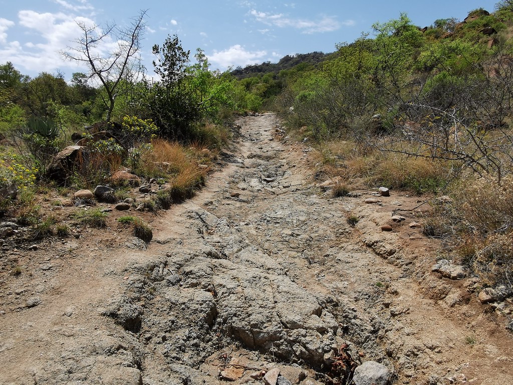
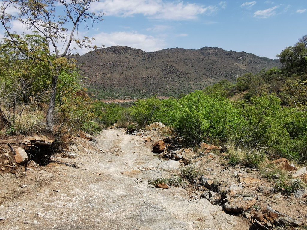
Today, it was rougher than I seem to remember it from before. Some of those rocks have some car sump scars on them, you have to be desperate to drive normal car through there
 

Attachments

  • AB8D6F48-D593-4DA1-BDA2-29511FF57243.jpeg
    AB8D6F48-D593-4DA1-BDA2-29511FF57243.jpeg
    192.1 KB
  • 39F4B14A-88B0-4DE7-987F-4098FDD3AFFE.jpeg
    39F4B14A-88B0-4DE7-987F-4098FDD3AFFE.jpeg
    247.5 KB
[member=41]sidetrack[/member] : Yes, it is getting rougher and rougher - I guess since the roads around the mountains were tarred, it is easier to go around for locals, rather than navigate this one.

Did you ride any of the sidetracks (pun intended)? On top of that pass you ran turn right - north on big dirt highway which will take you to mines and further north where the good riding (even on big hippo) awaits. South of that pass is IMO inpenetrable on big cow - for 500 (or possibly 690) I do have very promising track - the one shown in my thread).
 
[member=41]sidetrack[/member] : you should have asked - I would have sent you GPS tracks I have ridden / plotted in that area. Would give you plenty to explore.
 
Xpat said:
[member=41]sidetrack[/member] : Yes, it is getting rougher and rougher - I guess since the roads around the mountains were tarred, it is easier to go around for locals, rather than navigate this one.

Did you ride any of the sidetracks (pun intended)? On top of that pass you ran turn right - north on big dirt highway which will take you to mines and further north where the good riding (even on big hippo) awaits. South of that pass is IMO inpenetrable on big cow - for 500 (or possibly 690) I do have very promising track - the one shown in my thread).
My plan was to take the Steelpoort mountain track towards R555 to join my next section but it was already 2pm, very hot, fully loaded bike and it was a bit more technical then I expected so sanity prevailed. I doubt it becomes easier ? It’s quite long just judging on the gps. Lost a lot of time in the morning getting lost on some single track and ending up at a fence. Rode some nice tracks next to the Olifants river though  :thumleft:  Had to cut my route short and take the dreaded tar. Tired from the village speed humps and stray animals
 
sidetrack said:
Xpat said:
[member=41]sidetrack[/member] : Yes, it is getting rougher and rougher - I guess since the roads around the mountains were tarred, it is easier to go around for locals, rather than navigate this one.

Did you ride any of the sidetracks (pun intended)? On top of that pass you ran turn right - north on big dirt highway which will take you to mines and further north where the good riding (even on big hippo) awaits. South of that pass is IMO inpenetrable on big cow - for 500 (or possibly 690) I do have very promising track - the one shown in my thread).
My plan was to take the Steelpoort mountain track towards R555 to join my next section but it was already 2pm, very hot, fully loaded bike and it was a bit more technical then I expected so sanity prevailed. I doubt it becomes easier ? It’s quite long just judging on the gps. Lost a lot of time in the morning getting lost on some single track and ending up at a fence. Rode some nice tracks next to the Olifants river though  :thumleft:  Had to cut my route short and take the dreaded tar. Tired from the village speed humps and stray animals

Well as said, next time just ask. No point running into the same dead ends I already did. I have no problem sending the tracks I have ridden / plotted and warn you about the dead ends I encountered. There was only one on that river track, but I started further up where R579 crosses the river.

And yes - it gets beastly hot there. I took this weekend off and still felt a bit womitty in the sun - I believe remnants of the heatstroke I scored there last week. I am not going to explore it there again in summer on hippo - will bring 500 next time, which will make it breeze. And second yes - once you descent into the villages, it gets tedious really fasts.
 
sidetrack said:
Xpat said:
[member=41]sidetrack[/member] : Yes, it is getting rougher and rougher - I guess since the roads around the mountains were tarred, it is easier to go around for locals, rather than navigate this one.

Did you ride any of the sidetracks (pun intended)? On top of that pass you ran turn right - north on big dirt highway which will take you to mines and further north where the good riding (even on big hippo) awaits. South of that pass is IMO inpenetrable on big cow - for 500 (or possibly 690) I do have very promising track - the one shown in my thread).
My plan was to take the Steelpoort mountain track towards R555 to join my next section but it was already 2pm, very hot, fully loaded bike and it was a bit more technical then I expected so sanity prevailed. I doubt it becomes easier ? It’s quite long just judging on the gps. Lost a lot of time in the morning getting lost on some single track and ending up at a fence. Rode some nice tracks next to the Olifants river though  :thumleft:  Had to cut my route short and take the dreaded tar. Tired from the village speed humps and stray animals

When you say you wanted to take the Steelpoort mountain track to R555, you mean the one that runs south of the pass? That one is quite doable but you cannot connect to it diretly from the pass (well I believe you can but on 500, not hippo). You need to get over the pass you did to the western side and then climb back up on the range in the village just to the south of the park (I did that last weeked on day 1 in the opposite direction). That route is quite doable as it runs through many villages and settlements on top and is being used extensivley - I would say it is an equivalent of dirt road on Lesotho.
 
Top