EDIT: I increased the size of my photo sizing tool to 1000 pixels across for the map as my labels were a bit small. I forgot to reset it to 800 before converting these photos so they are all too wide for the page. I apologise for that.
--------------------------------------------------------------------------------------------------------------
Day 6 Sakrivierpoort to Williston 090928 Monday 247 km 8h 15m
One of the VERNAC (Vernacular Architectural Society) members comes from Loxton. Her brothers have farms in the area; I stayed with Martin and Mariaan Scholtz of
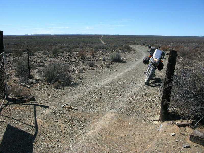
Sakrivierpoortplaas for the night. I had brought the 1:250 000 maps of the Sak river with me and Martin marked them up with his recommended route; basically the red dashed roads closest to the river.
Had a few beers, nice supper and wine before bed and was shown part of the farm. One interesting thing is martin keeps a few
Nguni cattle which are the only ones that will eat
fluitriet. There are now two types of
fluitriet; the smaller local variety and the larger, introduced, Spanish variety but both spread where ever there is shallow water but these cattle keep them in check. Besides merino sheep martin also grows garlic; large amounts have been imported from China completely disrupting the local market to the extent that the local farmers no longer hire seasonal part-time workers. In other words locals have lost their income because of these imports. Martin says the Chinese garlic is not at all bad but they imported so much and flooded the market with it that it stayed on the shelves for far too long and it has a limited shelf life so, in the end, it was very inferior garlic that was being sold.
Stupidly I have no photos of them or their nice farm. Lesson learned!
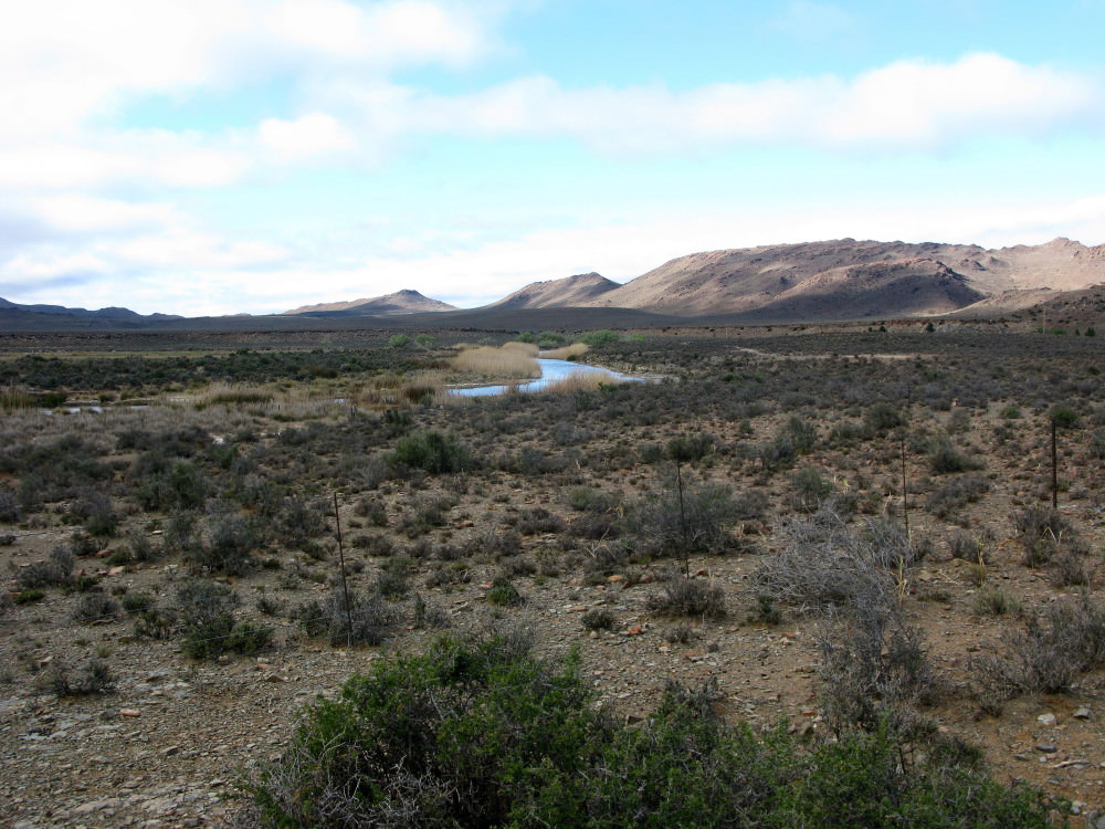
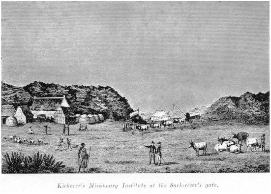
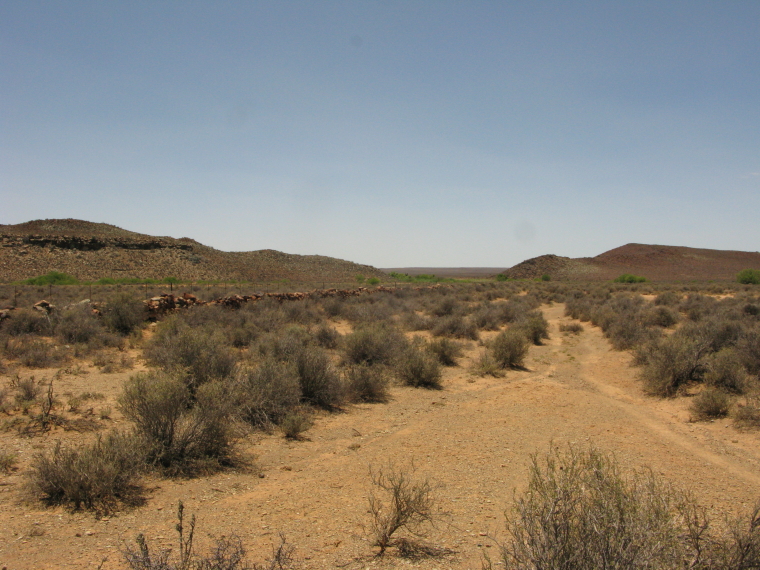
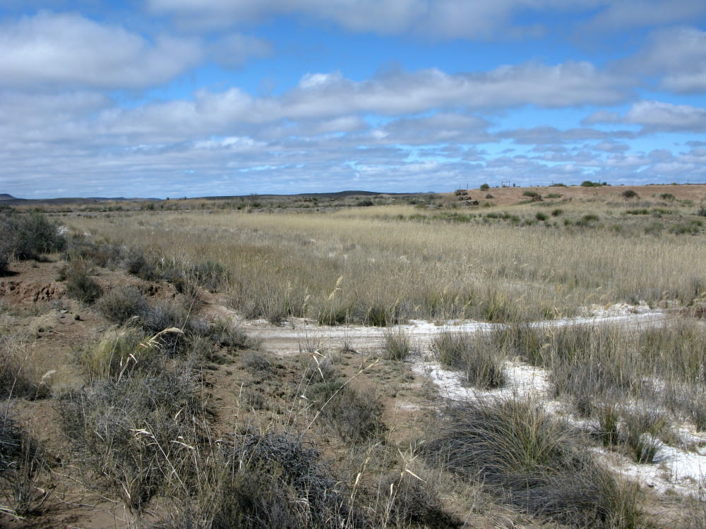
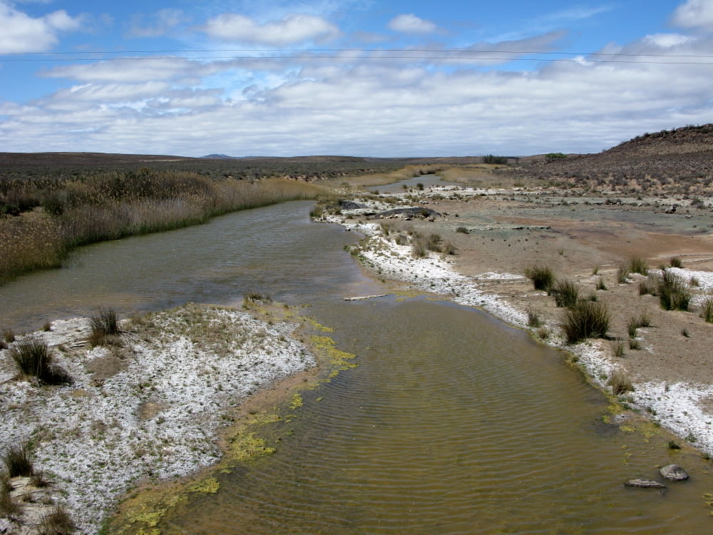
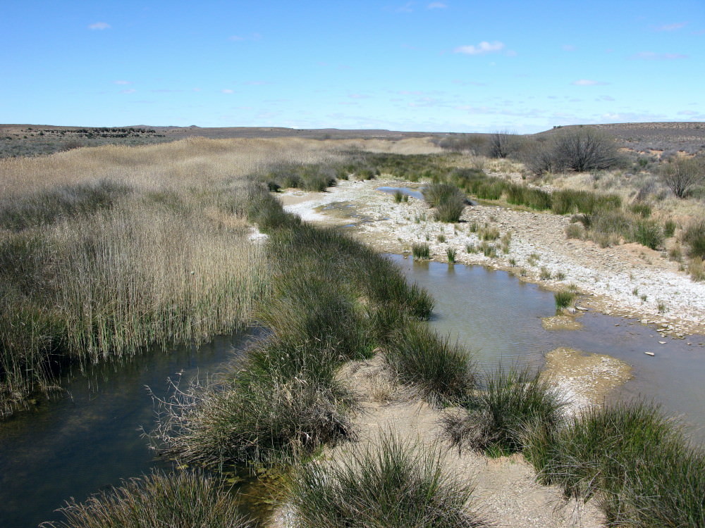
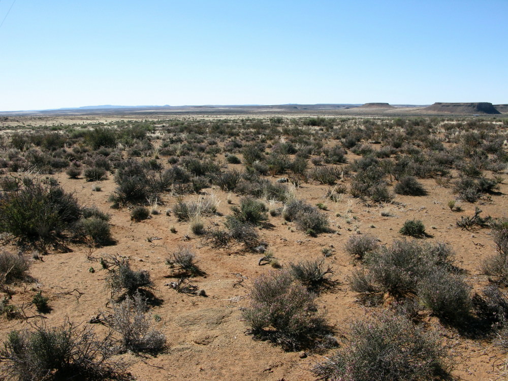
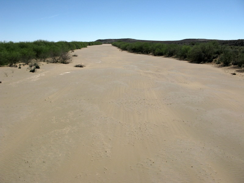
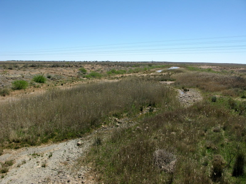
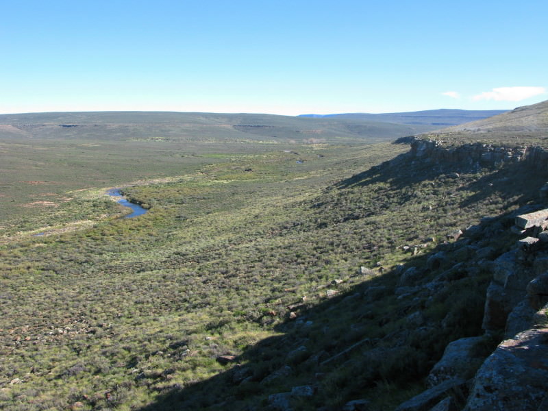
This is looking downstream from the poort soon after leaving Martin’s farm. This is, to me, the prettiest stretch of the Sak river. Later I will post a picture of the Vis river (a tributary of the Sak) valley which is, to me, really picturesque.
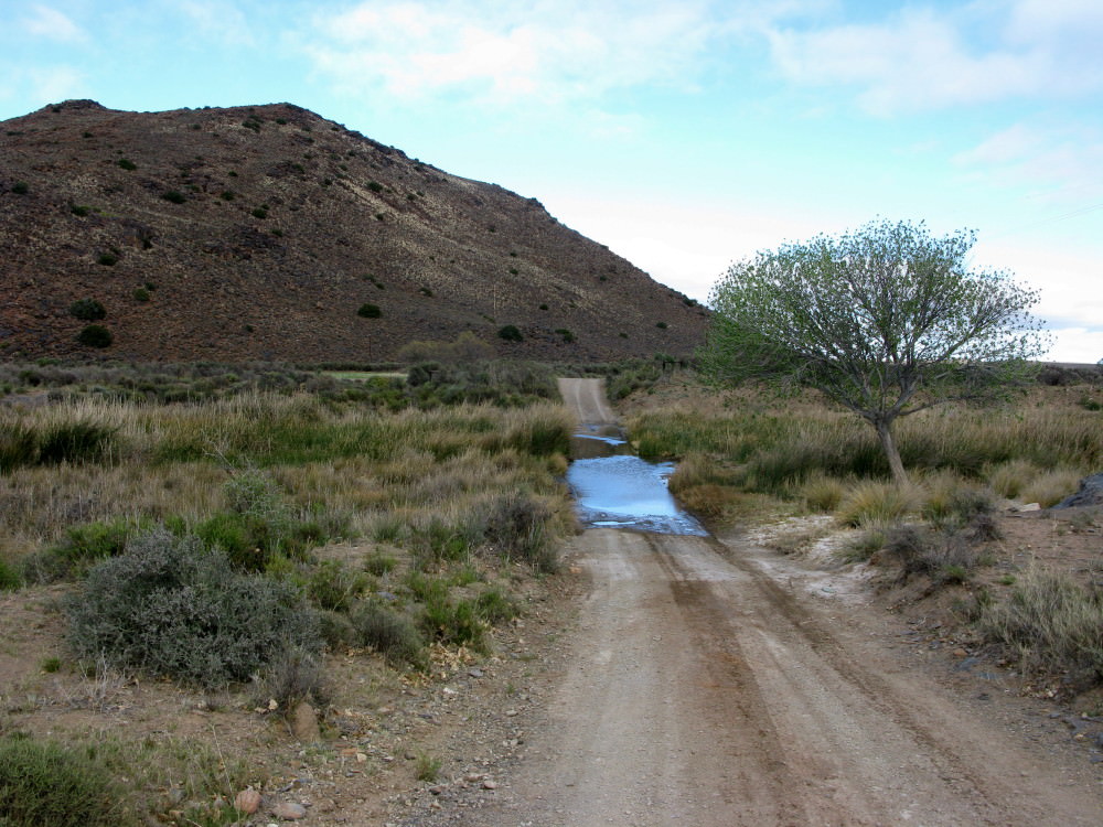
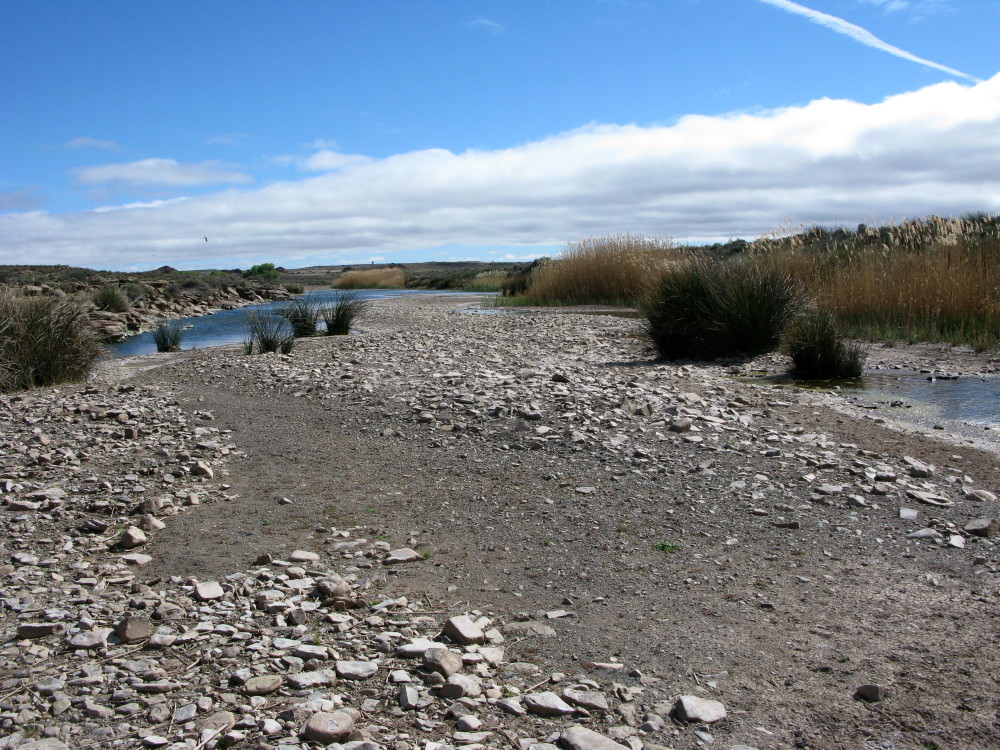
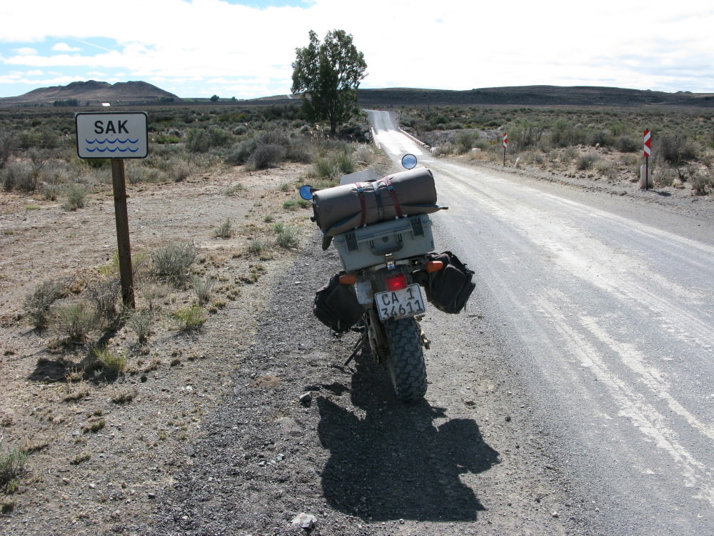
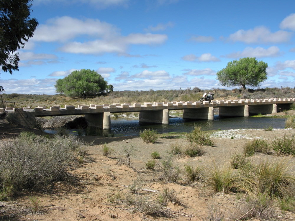
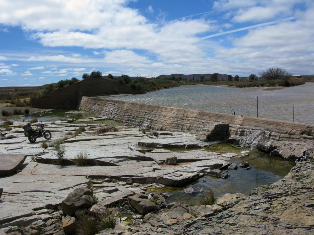
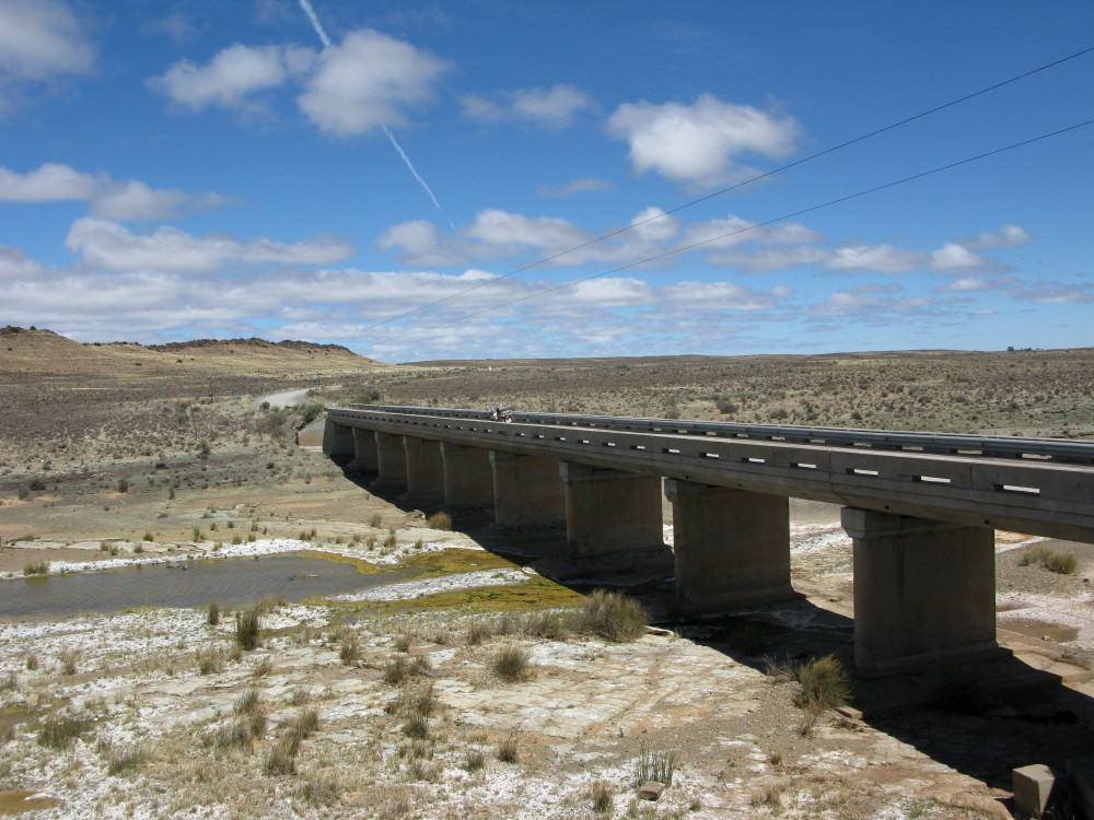
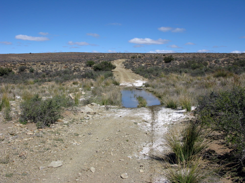
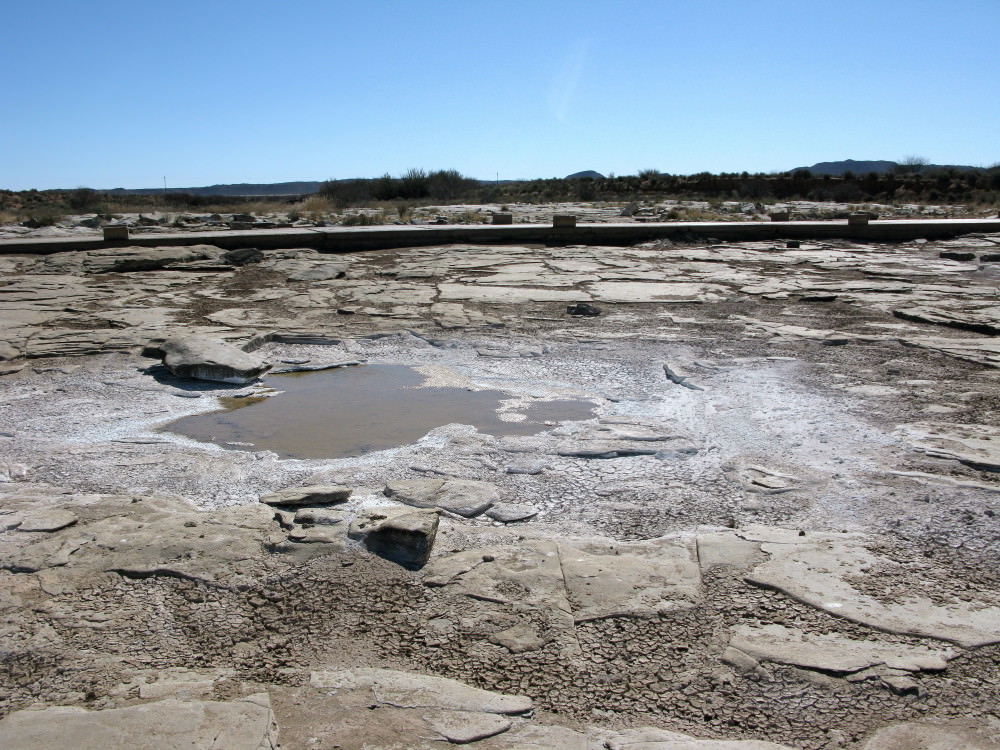
First real watercrossing on the Sak; right in the poort.
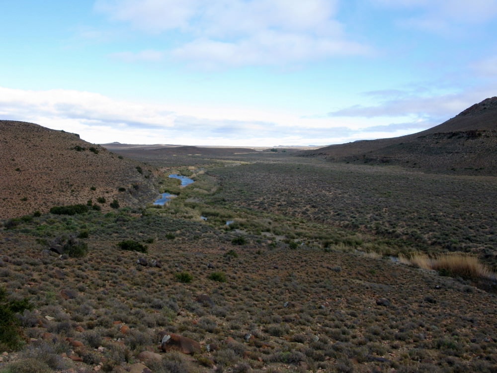
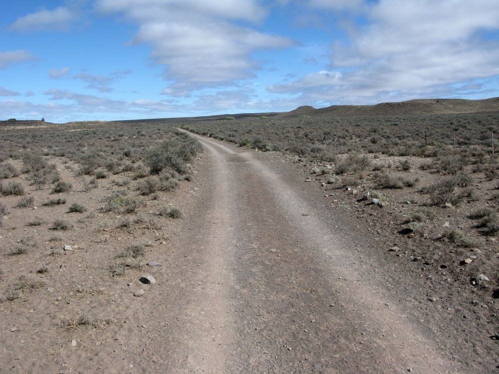
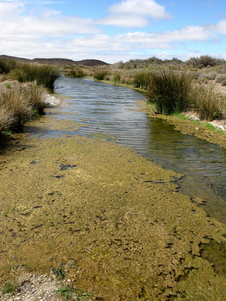
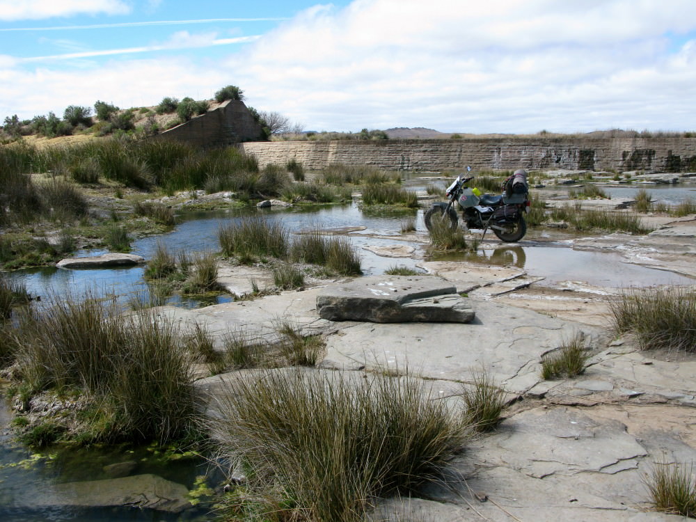
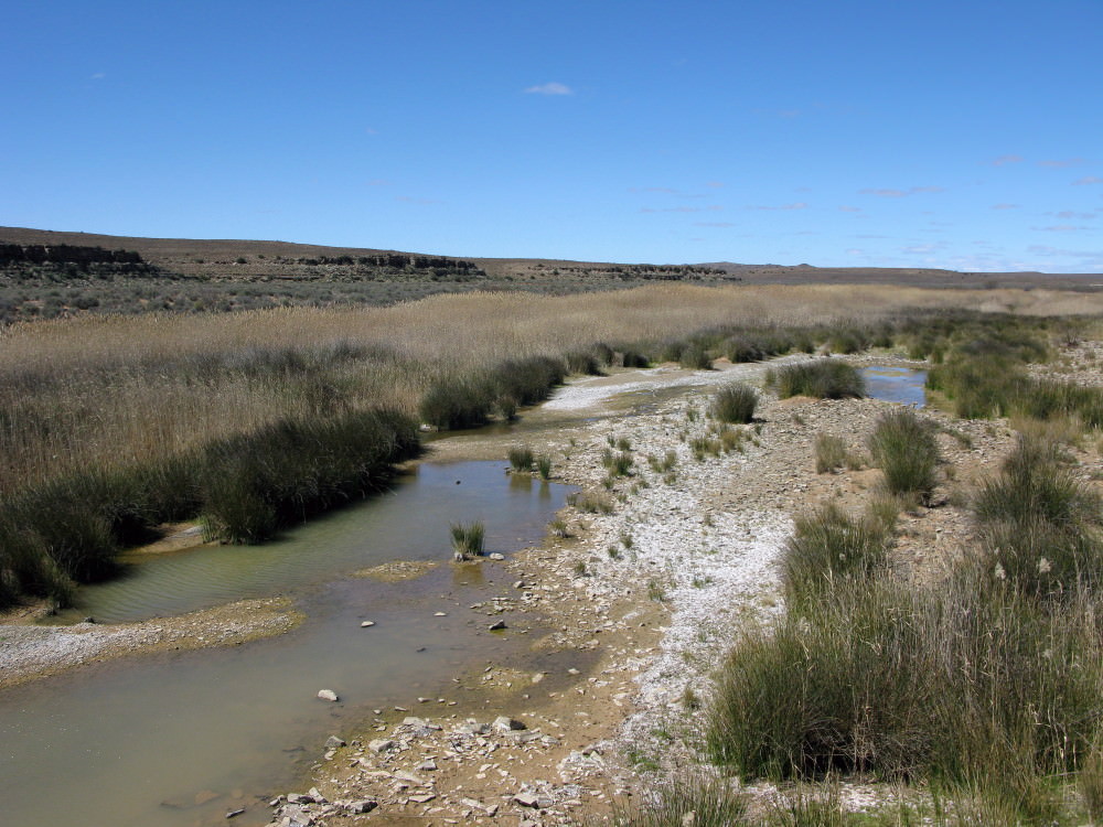
The Sak as it exits the poort.
Some more history
I recounted how there had been almost continuous commando activity for 10 years yet the
trekboers were having to retreat under the continual raids by the San. In 1795 the Cape was taken over by the British (it continued until 1803 then the Dutch regained control until 1806 and then the British invaded & finally took control). With the new British authorities came a different approach to the border conflict problem. They sent John Barrow to assess the frontier problems (there were even bigger problems on the frontier with the Xhosa and that was the economically more important area). Barrow was accompanied by the landrost of Graaf-Reinet when he went to negotiate with the San to the north. The went as far as the Gariep (Orange) and the Tarka rivers but the San avoided them except for one small party the crept up on. Despite strict instructions from Barrow they were attacked and one was killed in cold blood; the landrost claiming that a shower of arrows had been fired at the party (Barrow was right there and knew it to be a lie). The actions of this (unrepresentative?) group of colonists greatly influenced the perceptions of the British of what the cause of the tension on the border was. I quote from the book:
It is no exaggeration to state that the British policy towards the San, on both the eastern and northern frontiers, was shaped by Barrow’s experiences on this occasion. Barrow’s impression of the San was that they were ‘mild and manageable in the highest degree.’ In his opinion, they were far more sinned against than sinning, forced to retaliate as best they could against ‘the brutality and gross depravity of the boors’, who habitually enslaved their women and children while ceaselessly trying to drive them from their land. Though Barrow acknowledged that the loose political structures of the San made it difficult to negotiate a far-reaching peace, he became convinced that the prime cause of the hostilities existing between them and the colonists was the commando system.
Please note that that one brutal event shaped the British policy. There was a long and bitter sequence of events leading up to the ‘boor’ behaviour towards the San but Barrow formed his opinion on just this single event largley. The British policy was to partition the country with a definite border and each group should stick to their side of it – no exceptions whatsoever. This policy had been suggested by the
veldwachtmeester of the
Roggeveld, Floris Visser and it fitted in with what Barrow suggested to the Governor, MacCartney . Furthermore they decided to use missionaries to work amongst the San to convert them to a
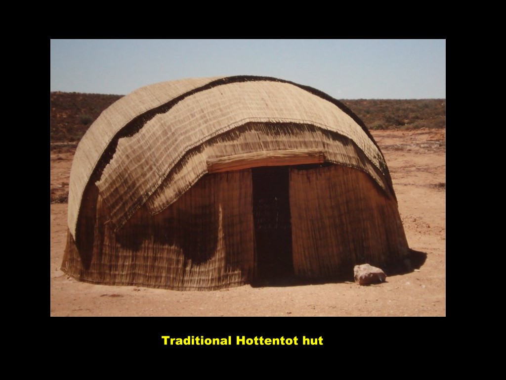
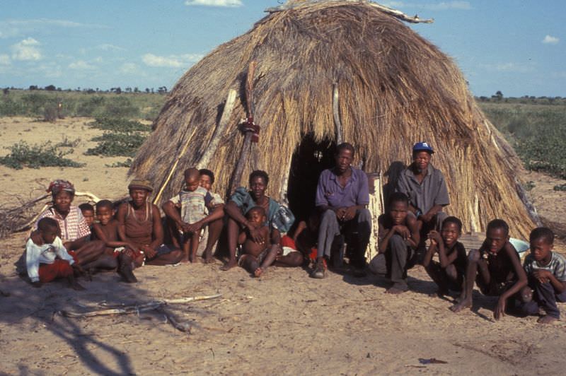
pastoral existence (in other words make them change from being San into being Khoikhoi; change from being hunter/gatherers to become pastoralists).
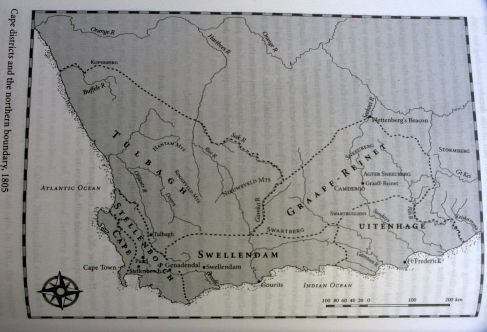
This is a map from the book. It shows the boundary following the Sak river as it flows across to where it joins the Riet (and Vis) rivers between present Willeston and Brandvlei (same level as Calvinia). To the right of the river was San territory, to the left was
trekboer territory.
Sakrivierpoort where I spent the night is just at the first kink in the river. I followed it all the way up to the Gariep (Orange) river, though it changes its name to Hartbees along the way.
