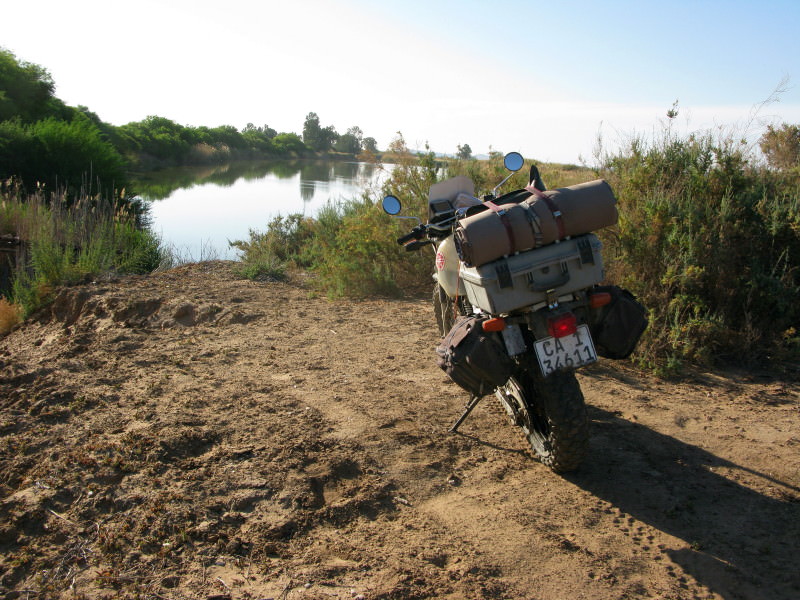
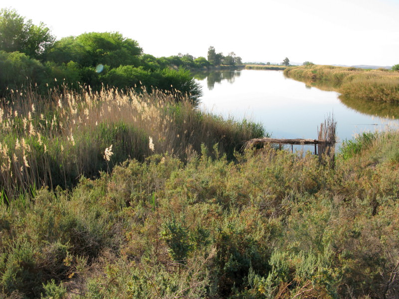
Sak River

This site may earn a commission from merchant affiliate links, including eBay, Amazon, and others.
Wow ,great report and pics ,some really interesting history.I worked with a few San when Iwas in 32 battalion many years ago ,very humble yet proud people, they were great trackers.Sad to see them disepering.
 
Hi Toktokkie

Thanks for this - riveting reading :thumleft: :thumleft:

You asked this question:

I really liked this fence at the museum.  Those are the heads of drilling machines.  Much bigger than water  boreholes, I have no idea what they would have been used for in this area.  Anybody with something to say about them?

In the late sixties/early seventies there was a fairly extensive search for oil in the area. One of the test sites was about 10 km out of Williston on the road to Sutherland. Could the heads be from that? (I have no knowledge of the equipment used in drilling for oil)

 
Sak river day 8      Verneukpan to Kenhardt      090930  Wednesday  245km + 15km

joT7QSm.jpg

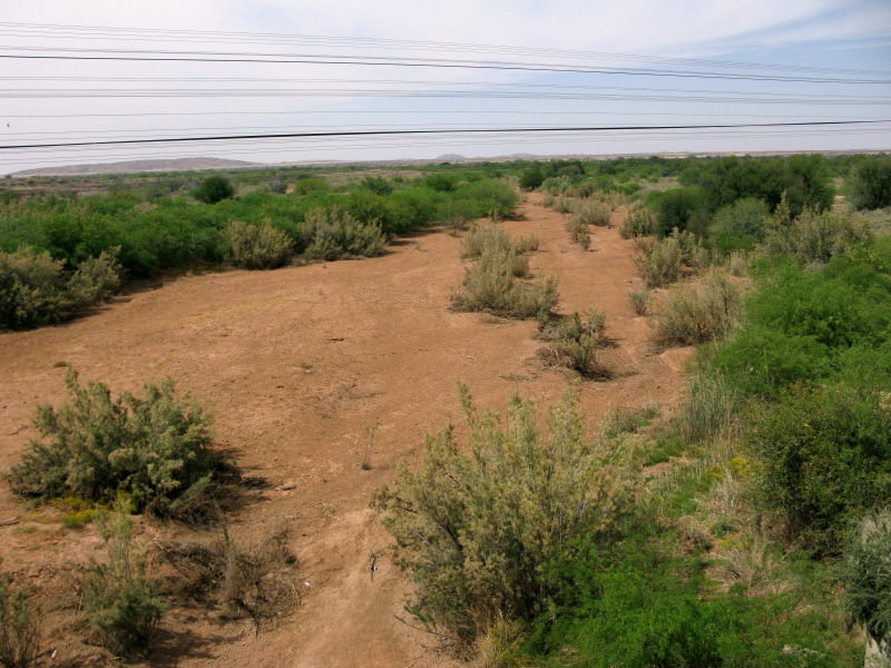
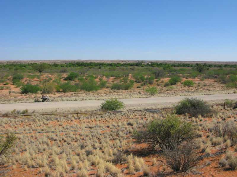
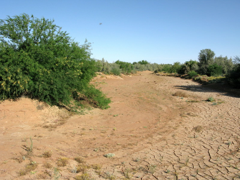
This is the Hartbees river just before Kenhardt.  The Sak river disappears into the Grootvloer but if there is a lot of rain the water flows out of the Grootvloer as the Hartbees river so it is the continuation of the Sak.  Notice that the sand is red coloured. The colour comes from iron oxide (rust) in the sand. It is no coincidence that the Sishen iron mines are in land of this colour.  The dolerite rocks are rich in iron so they ‘rust’ to the dark colour they are and break down into this red sand.

ZBcxgSh.jpg

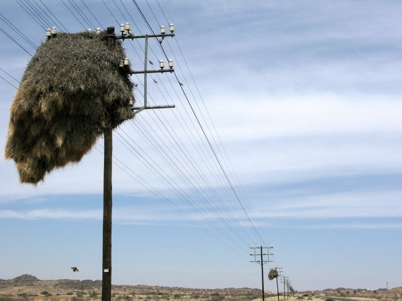
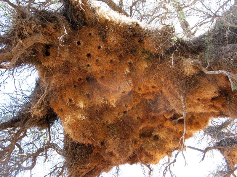
Social weaver nests.

z66TNZW.jpg

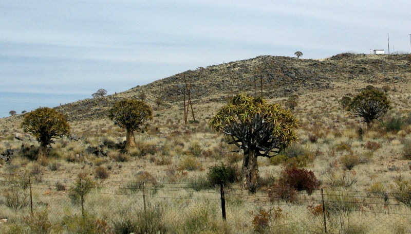
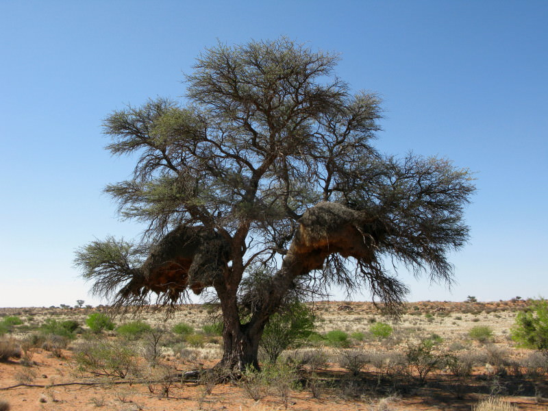
And kokerboome.  When the Sak becomes the Hartbees you also find the first of the social weaver nests and kokerboome.

4C01SXd.jpg

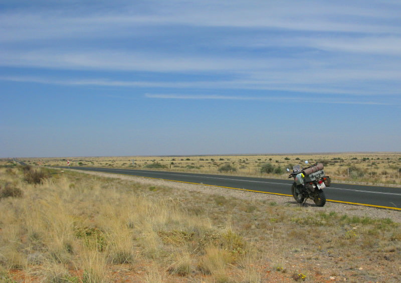
I went into Kenhardt for fuel , melktert & rooibos tea then returned towards Brandvlei because I wanted to see what the Grootvloer looked like.  I went south on the tar R27 then turned east on a gravel road that eventually joined up with the road I had ridden earlier in the day on my way from Verneukpan to Kenhardt.  This picture is the start of the Grootvloer.

a6CGEpV.jpg

It is big and impressive.

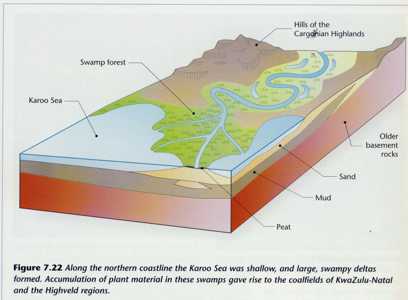
3543199642_825dd5f050_o.jpg

From the geology thread; this is how the Grootvloer was formed.

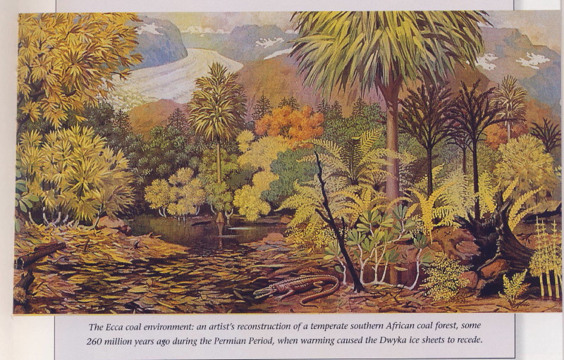
3543202796_5d38b9c396_o.jpg

And this is what grew there as it formed. These are the swamp forests that created the Highveld coal deposits.  Plants had developed as the Cape Supergroup was being laid down 450 million years ago and were now well established.  Big  animals only appeared 290 million years ago  so the plants had it pretty well their own way initially.  I had those pictures in my mind as I cruised through the Grootvloer.  I don’t understand why there is no coal in the Karoo if it looked like this – I may well be mistaken but it was a nice picture to have in mind.

guGHxV1.jpg

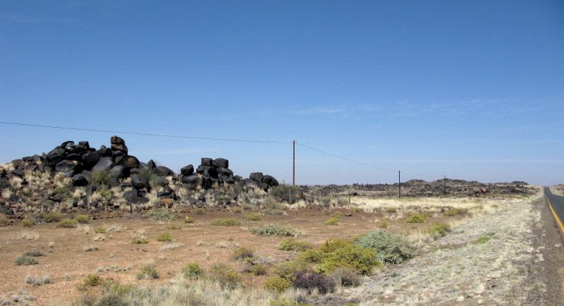
Close to where I turned onto the gravel road were these outcrops dolerite with the dark colour I mentioned earlier.

NBgXPXg.jpg

Dolerite koppies on the vlaktes.  I am wanting to emphasize the open space I was riding through.  It was not very hot.  I have a Cool Vest from Bikegear but was not wearing it as I rode through here.

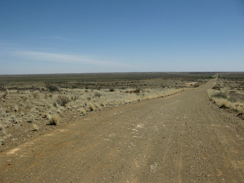
ZM73K9Y.jpg

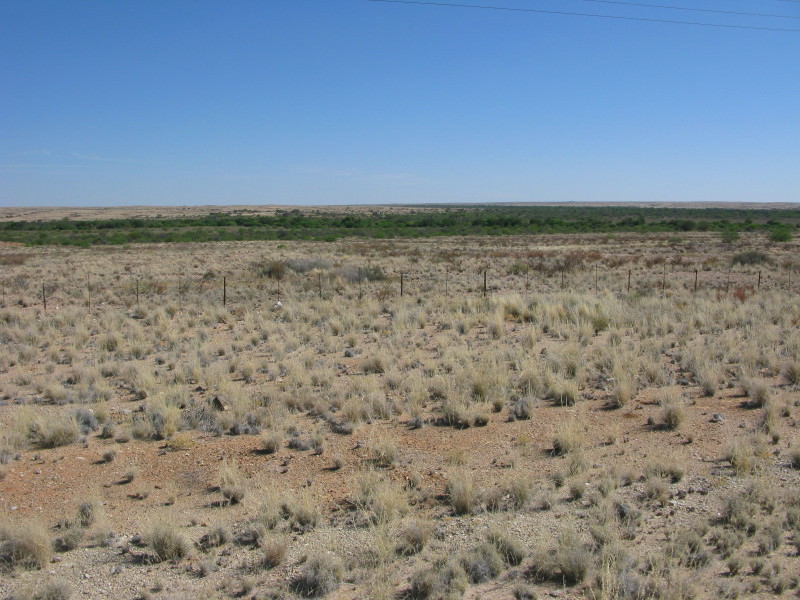
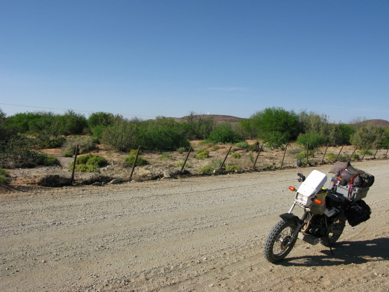
Back onto the road I was on earlier with the Grootvloer ahead. I am now running back the opposite way (northwards) returning to Kenhardt.
 
I've just started to read this (waay too slow at my work - photo sites are throttled) so I'll wait for tonight to check it out.


Trailrider said:
Finally! This is going to be good. I REALLY REALLY like that TW. Small bikes and small bike trips have a honesty about them that I cant explain and not everybody gets. But it has a huge appeal to me.

Subscribed!!!

Us dishonest bikers likes all the types of rides and reports...


:D
 
TT - I really like what you've done to the TW.

Like I said the other day - If I had the choice between a bigger bike that I'm not comfortable on or a smaller bike that I end up seeing more of the world on, then I'll choose the smaller bike.

I love what you've done with it (yeah - it surely isn't a looker, but it is a bike that make you want to get on it and ride into the sunset)

;D

Looking forward to reading this report properly.

 
Last bit of Trekboer & San History

In the extract from the pamphlet Elsa van Schalkwyk gave me there is this:

Vir die meeste 19de-eeuse veeboere was vleis doodgewoon stapelvoedsel en brood 'n luukse waarsonder vir maande lank klaargekom kon word. Gevolglik het die sendelinge se tuinmaakidees, ten koste van veeboerdery, nie geredelik ingang gevind nie. By geleentheid het eerwaarde Beinecke byvoorbeeld geskok in sy dagboek k van 'n man vermeld wat so verknog was aan sy vleisdie6t dat hy dit prontuit gestel het dat hy sy mond nie aan brood sou sit nie omdat dit vir hum net soos klei gesmaak het. Vir hierdie man het eerwaarde Lutz se gereelde preke tydens droogtes dat "die liewe God dit weer goad geag het om die Easters se broodmandfle ietwat hoer te hang"' kennelik min indruk gemaak!
The mission was aimed at Khoikhoi and ‘Basters’ but what the quote says about meat being the staple diet of the pastoralists applies equally to the trekboers since they too were pastoralists.  They were carnivores rather than omnivores and certainly not vegetarians.  The difference between the Khoikhoi and the trekboere was that the Khoikhoi used their animals for their own needs only whereas the trekboere were supplying the VOC with animals so that they could buy goods such as clothes, liquour, ammunition and wagons etc.  If they slaughtered their animals to provide food for themselves they had less to sell to the VOC.  The obvious thing to do use the ‘abundant’ wild game as their food source.  This brought them into direct competition with the San as they too were exploiting that same resource.  But further to that the flocks and herds of the trekboer were competing with the game for the veld and this was exacerbated by the fact that the trekboers drove their animals following the best grazing thus largely excluding the game from the best veld.

The trekboers had three great advantages over the San in this competition – they had horses, guns and wagons.  The eland was the preferred animal of the trekboers to make biltong; they had been shot out of the land west of the Sak river by the 1790s. Once the trekboers were established in the Roggeveld they penetrated deep past the Sak river in search of game to provide their food.  The trekboers and San had been competing for the same resource – the wild game but the trekboers had been more successful because of their horses, guns & wagons (game cut up dried as biltong & taken out by the wagon load). The San could not provide for themselves because there was simply not enough game available to them.  They had three options, move away, exploit the sheep and cattle as substitutes or starve to death.  They elected to exploit the trekboer’s animals.

In response to the San raids on their sheep & cattle the trekboers raised commandos to recapture the animals and eliminate the ‘vermin’.  It was a contest for resources – water, grazing and wild animals.  The British tried to break the cycle by creating a no-crossing border along the Sak river but it was not successful because 1. The game available to the San was too sparse & 2. The trekboers continued to go after the wild animals across the Sak river.  The San were largely exterminated by the commando raids and hunting raids.  The survivors were forced to flee to the Kalahari.  The San had exploited the game in a sustainable manner but the trekboers almost exterminated them – they did in the case of the blaubok (1800) and the quagga (1870s).

The Khoikhoi were, like the trekboers,  pastoralists but they did not have the same hunting imperative as the trekboers because their animals satisfied their needs largely.  The Khoikhoi and San were able to coexist amicably.  The San were the original occupants of the territory; the Khoikhoi arrived in the Upington area about 500AD and continued to expand southwards wherever their sheep and cattle could go.

ZVLooj9.jpg

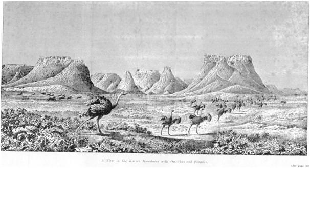
From the van Rensburg source (page d1).  A drawing by Lichtenstein of the Kareeberg (Canarvon) area in 1803.  Besides the ostriches there is other game to be seen there still.  I include this drawing here simply because I like it & found it while looking for info to put here.

'----------------------

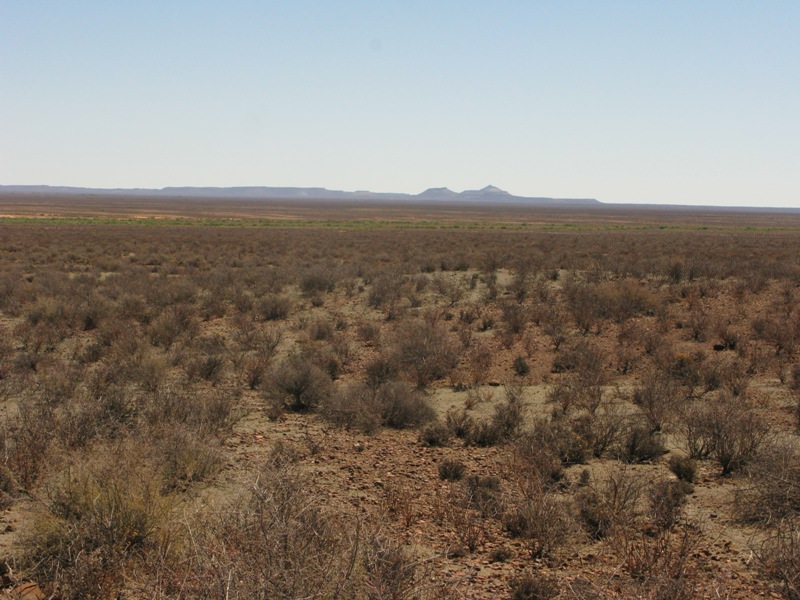
EDIT 2017/12/03.  In 2015 we went to the Kareeberg in my Terios.  I was looking for that view of Lichtenstei's.  I found that it was looking at the mountains from the northern side.  We went to Canarvon then took the road to Brandvlei past the SKA.  We turned south from that road to get back to Williston and found this view, which is typical of what the Kareeberg look like from the northern side.

7BVyFHl.jpg


------------------------------------------------------------------------------------------------------------------------

NrokYJc.jpg

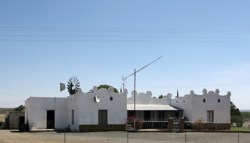
I got another puncture when I stopped to take a picture of this house.  There is a thorn tree just off the picture on the right where I re-fitted yesterday’s tube (which I had repaired before I started this day so the patch had plenty of time for the chemical reaction to complete – more about my puncture problems in a separate thread sometime).

tenZBDN.jpg

The powerline running across the Grootvloer is just where the Sak becomes the Hartbees.

iB415tL.jpg

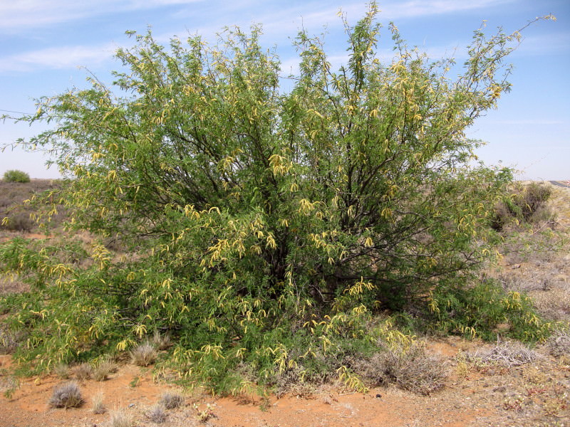
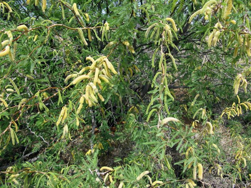
This is a Prosopis  .  I thought it looked pretty good growing by the roadside.

bWQhrhZ.jpg

But I was given the very informative pamphlet written by my landlady in Williston from which I learn that they are invasive trees from the USA.  Here is what she wrote:

Hoewel geen borne, in die Zakrivier voorkom nie, was die groot hoeveelhede riete in die rivier vroe & onontbeerlik vir die bou van mabieshuise en om dakke te dek. Ongelukkig is die indringerboom, die Prosopis, vandag 'n groot probleem. Vanwee die peule se hoe voedings-waarde vir there is hierdie indringerboom, wat afkomstig is uit die VSA, op aanbeveling van die destydse Department van Landbou aangeplant. Ongelukkig vernietig dit die natuurlike habitat in die rivier.

Die Algarobius prosopis kewer is vrygestel om met die bestryding van die borne te help.
EPm1gmB.jpg

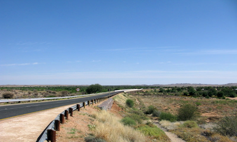
The bridge over the Hartbees as you enter Kenhardt.

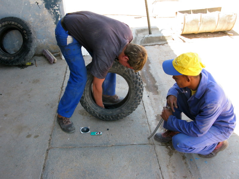
I went to the KLK (farmers co-op) to get a new tube but they did not have any.  They said I would be able to get one in Kakamas which is 100km away & where I was headed.  Off I went but the patch on the tube came off 7 km out of town.  I was going to pump the tyre & return to town (or fit the tube I had changed & patched earlier that afternoon but I had no confidence in that because it was a slippery Chinese tube which are known to be unpatchable).  They were working on the road right there & their truck had an airline so he pumped my tire.  It was leaking badly so I packed everything back on the bike, re-inflated the tyre & I took off as fast as possible back to Kenhardt.  I got there but as soon as I stopped outside the hotel my tyre was flat.  I had realised on the way that the centrifugal force was holding the tyre in shape so I kept it between 80 & 90 kph but even when I was in town the tyre kept its shape.  My gps shows that I was still riding it at 22 kph as I got to the hotel.  As soon as I stopped it was absolutely flat.
 
Sak river day 9        Kenhardt to Kakamas        091001  Thursday      124km

pYNbr0C.jpg

I was really rescued by Eeton & Suzette Wickens of the Kenhardt Hotel.  The chaps who helped me when I got the flat said I should go to the hotel as it is the bike place.  As I rode in with a flat tyre Eeton came walking up and offered his help.  I explained that I wanted two new tubes as both had patches on & I did not trust them.  He helped me strip the back tube &, sure enough, the patch was peeling off.  I had ridden 69 km on that patch from where I had fitted it (from my GPS track).  Eeton phoned some locals he knew were in Upington but it was too late – they were on their way back already.  He did manage to find someone who was going in early the next day who would not be there very long and would pick up some tubes for me.  He then phoned the Yamaha agents & organised that two tubes would be collected next morning.  So all I had to do was wait until the next day & I was rescued.  Had some beers, a nice supper (fantastic salad Suzette – where do you get such nice feta cheese?) with local wine.  After breakfast I sorted through my photos (I had my computer with me so could match the time on the Garmin tracks to the time of the photos to see exactly where the photo was taken).
BX6XV3C.jpg

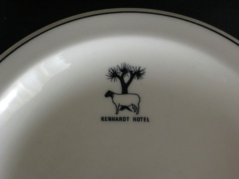
I really liked the logo on the crockery.  Black faced Dorper & kookerboom.  Is he well hung? In the bar there is a wall that only bikers can write their names on.  I saw Lucky Striker, Pistonpete & Newguy as Wild Dogs there.  I am extremely grateful to Eeton (who only speaks Afrikaans despite his Irish name; Eeton is actually a contraction of his given names of Henry Teeton).  My room was great with shower etc  attached and I had nice food there.  A biker friendly place and I would much appreciate it if you used it or at least had a drink on your way past.  Eeton has an immaculate FJR1300 and a recently bought KLR.  Since he got the KLR the FJR has just stood there as he finds the KLR much more fun.

jvSR8rt.jpg

I took the tyre to the co-op to have a gaiter fitted over the cut that had caused the original flat.  Soon afterwards the tubes were there & I put the bike together and was on my way again.

FOceYOY.jpg

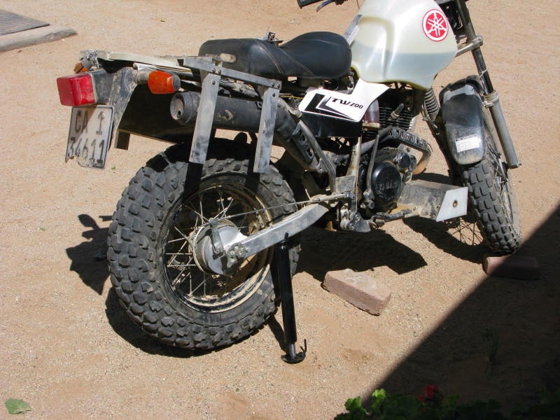
That is the wheel lift that Eeton made for himself just the day before I arrived.  It works really well – just turn the pipe & the foot screws out (the head also swivels) and it lifts the bike against the side stand.  What is very nice is you can adjust the height when fitting the wheel back so the axle lines up while the tyre is on the ground so you don’t need to hold the wheel in the air while trying to get the axle in.  (At Verneukpan I had to dig a hole to get the wheel back in.) .  Brilliant.  It can be used under my toolbox to raise the front wheel too.  I am going to make myself one.  If anyone else follows the idea I would be pleased if you call it a Kenhardt lift so it becomes known where it came from and that there is a bike friendly bar in town.  Calling it an Eeton lift would not have the same effect.

HOMYic2.jpg


kZHAR7k.jpg

On my way again to Kakamas.  That is the Hartbees with the trees all along it.  I suspect many are the invasive Prosopis

fWTe24P.jpg

This tree with two full sized social weaver nests.  No telegraph poles nearby?

vzZXWpb.jpg

Front doors.

qRzHPyb.jpg

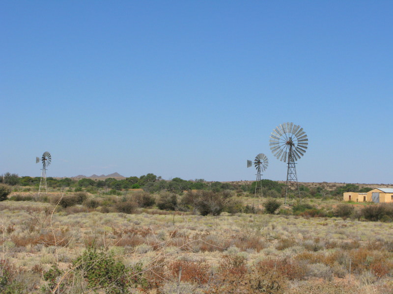
Saw this windpump along the way.  It is HUGE.  Those two windpumps are very close together.  A normal windpump is 2,4m (8ft) in diameter; I reckon that one is 7,5m (24 ft).  Unfortunately there was no visible name on the double tail.  Notice how many blades it has on the fan.

kwDeeOP.jpg

The road to Loeriesfontein branches off just before Kakamas so I went to get this photo of the river there.  That is definitely a flowering Prosopis on the left.

HfVhLKq.jpg

This is actually in the drift & would be flooded when the river is flowing.  Eeton said it had been flowing quite well between March & May this year.  Notice that I have a gaiter on only one side of the front forks.  Martin Praetzold had made cartridge emulators and I wanted to see how much fork travel I was using so took one gaiter off and fitted a zip tie on the fork which gets pushed up marking the most the forks get compressed.  I did bottom the forks out twice but I think I will lower the fork oil level a bit to make them slightly softer.
 
4CSIwY7.jpg

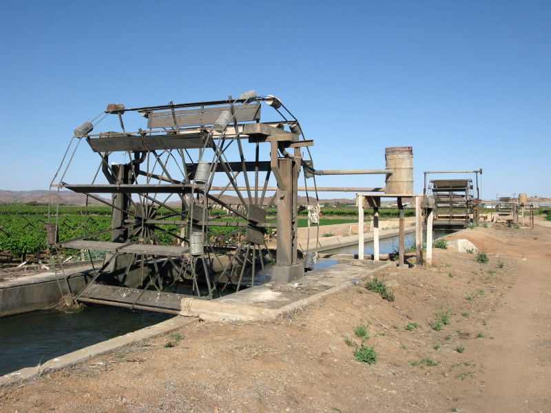
These are known as Norias .  The water flowing in the canal turns the paddle wheel.  On each side of the paddle wheel are buckets that dip into the water and tip it out at the top into the gutter leading to the drum then through pipes and channels to the vineyards.

I went straight through Kakamas as the Hartbees joins the Gariep (Orange) a little past the town at Alheit.

glpWpvu.jpg


tWzXaI1.jpg

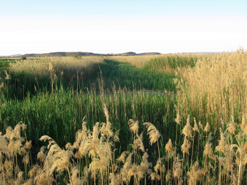
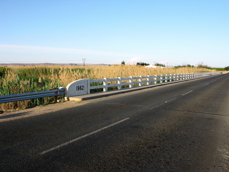
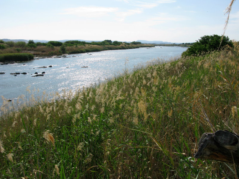
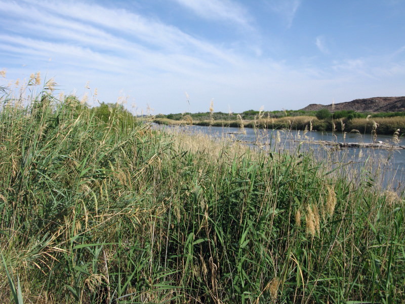
There is quite a long bridge in two parts with massive reedbeds each side where the Hartbees passes through to join the Gariep

ZHsjvO1.jpg

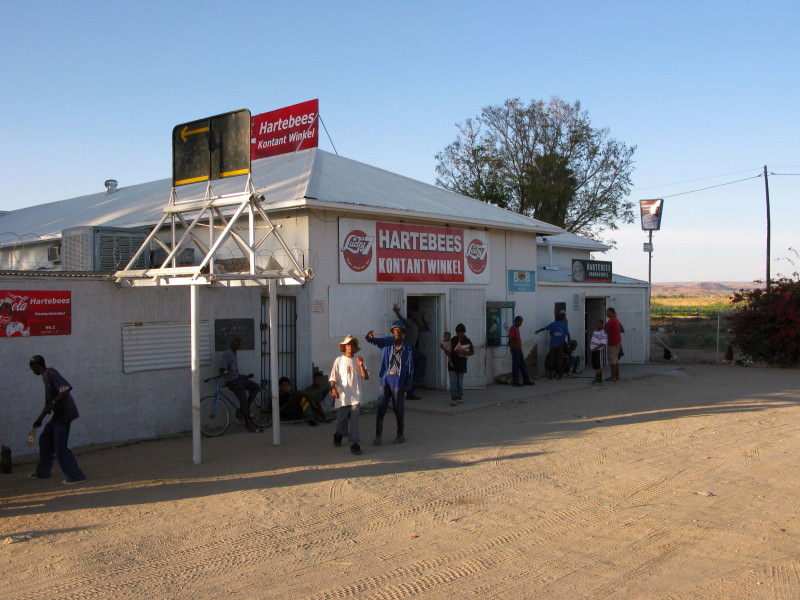
Hartebees Kontant Winkel (note the conventional spelling) at the end of the bridge.

HpL2JTw.jpg

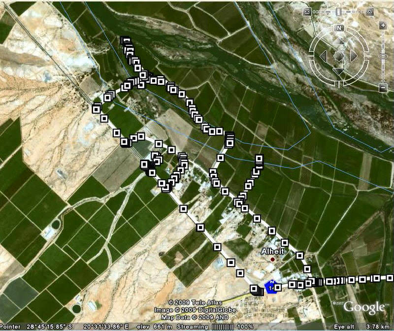
I asked around but no one could tell me where the Hartbees joined the Gariep so I rode into the vineyards and looked for it myself.  I  got to this (end of top left track):

9ma5IOG.jpg

That is the Gariep and the Hartbees is just to my left. Bakgat.  The correct word is confluence = where two rivers meet – somehow that seems somewhat inappropriate here.

ccl7y1G.jpg

The Gariep has more than one channel here so there is more to it than just this.

fsEf7QQ.jpg

Looking for the confluence.

PnXClVS.jpg

I had a real good try to photo where they actually joined but it is overgrown with reeds and the mud is deep black stuff up to the top of my boots.

5InhlG6.jpg

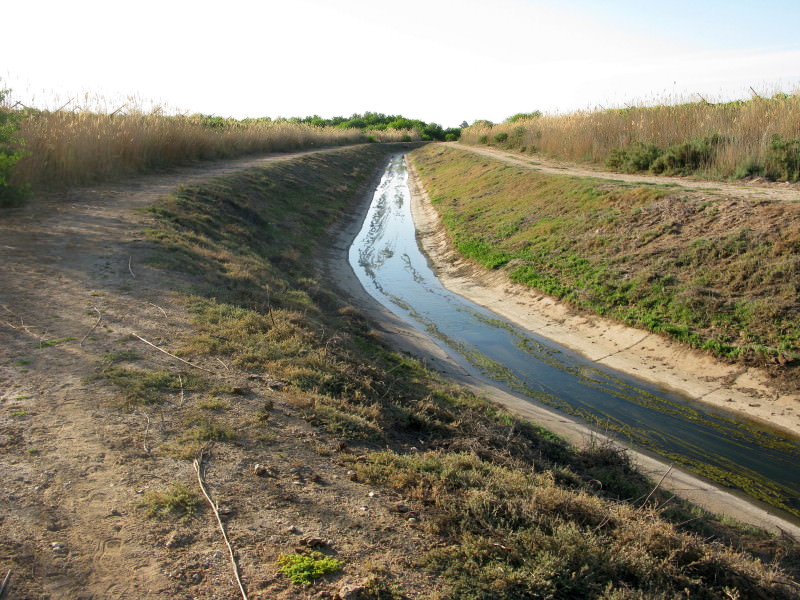
The Hartbees is joined by one of those irrigation canals and the excess water from the canal runs down back into the Gariep.  This is the combined canalised flow through the vineyard.

Job done; I went back to Kakamas & checked in at the self catering part of the hotel although I did have supper there.
 
Sak river day10      Kakamas to Nieuwoudtville      091002  Friday    390km

I had supper in the hotel.  I was surprised to find a proper sushi  bar with caterpillar track there (not food that I care for).  It is quite popular; that night 20 people had supper there, some coming from as far as Upington for the food.  I would never have thought sushi would be available in Brackenfell, let alone Kakamas.  After supper I had a look at the 1:250 000 maps.  The Hartbees splits into two before joining the Gariep, hence the two bridges at Alheit.  I decided to look for the second confluence in the morning.  I am pleased I did because it is the more significant one.

0FmGbhc.jpg

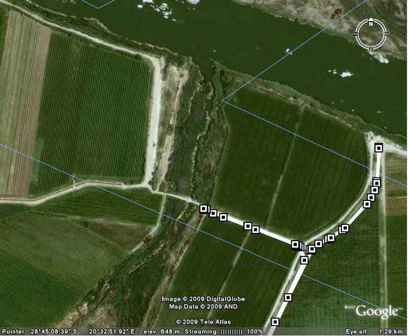
On this Google track I parked at the end of the leftwards track because the donga there was too steep & walked across and down to the Gariep on the left bank of the Hartbees (I think this is the more important of the two bits of it here).

XLEepvF.jpg

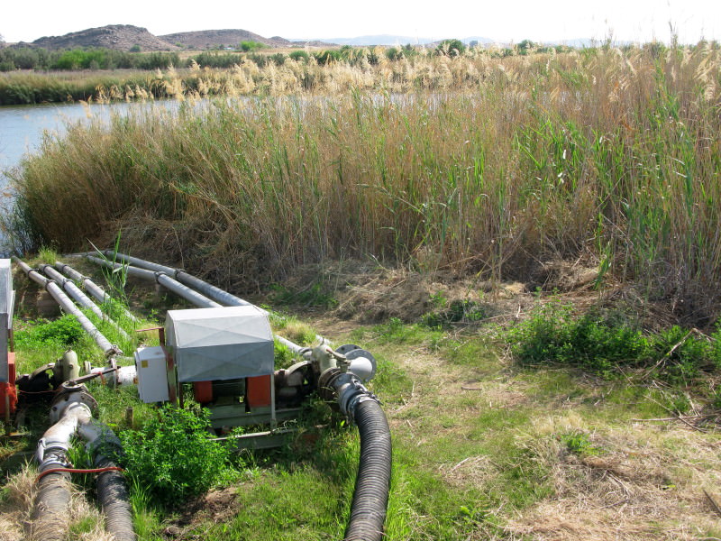
There is this pumpstation there (just visible in Google) with the Hartbees behind the reeds.

Lwhxtn5.jpg

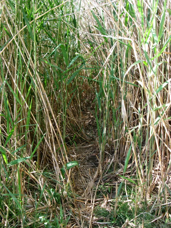
There was a small path through the reeds which I forced my way through.

00Cwwa1.jpg

Here is the Hartbees coming in from the right joining up with the Gariep coming down from the top.  So the real confluence.

E7ef96M.jpg

Panorama of the whole scene.

M3D4ZCm.jpg

Looking upstream undistorted.

x6dNyVG.jpg

Looking downstream undistorted (but the Hartbees is obscured).

sHJqs7x.jpg

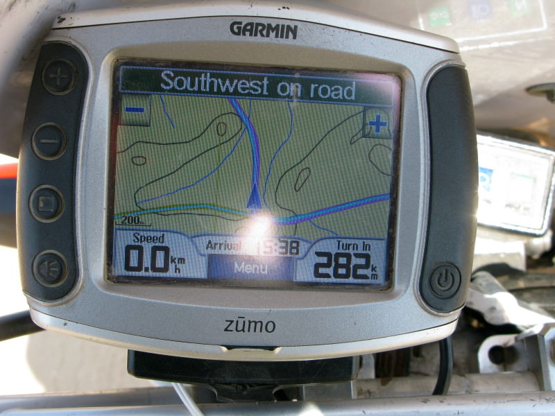
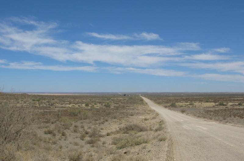
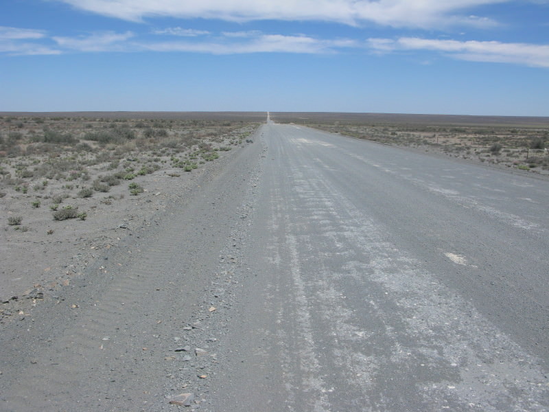
Then I turned south & set off back home.  Next dorp is Loeriesfontein.  282km away without  a turn in between.  I know the Ceres Calvinia road is the longest gravel road between two towns but this is in the same league. 

Iy0QAmk.jpg

I had come to ride long flat straight roads so this was ok.

EFy3cp0.jpg

More of the same.  I did not wear my cool vest although I had the previous day.

lsr4oWx.jpg

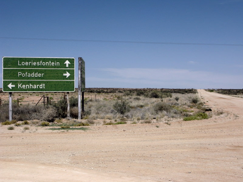
Well there was a crossroads along the way.

ohNGKXR.jpg

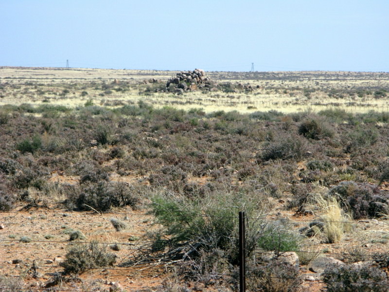
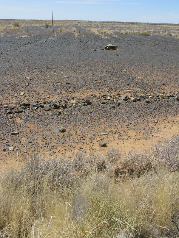
This is dolerite reduced to pebble size, well on its way to becoming sand – the rich red sand of the Karoo & Northern Cape.  A whole field of stretching to the horizon and hardly a big piece to be seen

eR5CiAP.jpg

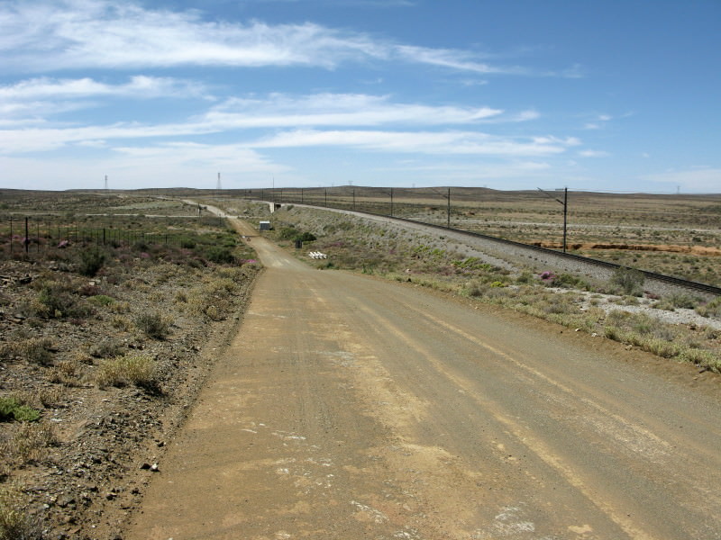
I was interested to see the Sishen Saldanha railway line at Loeriesfontein.  When it was being built my sister used to drive up here from Cape Town to visit her boyfriend who was working there having graduated as a Civil Engineer the year before.  They got married some time later. It was his 60th birthday recently and a story was told by Guy Louw about this embankment:

Martin Burger, the Railway Engineer

The year was 1971, Martin's third year at UCT studying Civil Engineering.

A compulsory course was Railway Engineering, lectured by Prof DC Robertson, the legendry railway engineer of years gone by. DC was well into his seventies, but his sense of humour had retired a few years previously.

One particular lecture was about Long Chains and Short Chains. For over an hour, DC lectured passionately about how Long and Short Chains occurred when a deviation was made to a railway track route. About 15 minutes before the end of the lecture, DC looked up, removed his glasses and asked "Any questions?"

From the back of the lecture theatre, a voice was heard "Please Sir, could you explain what a Long Chain is?"

DC's face turned red as he spluttered "Who said that?"

Silence.

DC then demanded "Will the student who asked that question please stand up!" At the back of the lecture theatre, Martin Burger rose to his feet.

DC "Get out of my lecture theatre!"

As Martin made his way down the aisle steps, DC was further enraged as he said "What is more, you have the audacity to attend my lecture barefoot! You are a disgrace to this University. Get out and never return to my lectures."

Little did Martin know that Long and Short Chains were to plague his working career. After graduating in 1972, Martin, a Clifford Harris bursary student, was sent to work on the Sishen - Saldanha Railway Line. Being over 800 km long, the railway line was riddled with Long and Short Chains.

Many years later, 2009 in fact, Guy Louw came across evidence of Martin's knowledge, or lack thereof, of Long and Short Chains. Whilst working on the upgrade of the Sishen - Saldanha railway line, Guy found the "As Built" drawings for the section of railway line near Loeriesfontein that Martin was involved with. Long and Short Chains abound.

On one particular section, it is evident that there was a variation in the track route. Martin had done his calculations (rumour has it that there was beer involved) and presented his
calculations to the Resident Engineer in order for the "As Built" drawings to be prepared.

There was ambiguity as to whether it should be a Long Chain or Short Chain. Eventually, to solve the dilemma, it was indicated as a Burger Chain. (See attached "As Built" drawing).
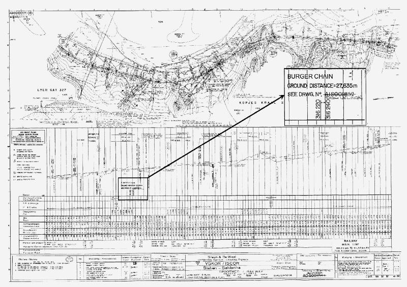
4029120414_d6b0ed018f_o.jpg

 
UBhJ2U8.jpg

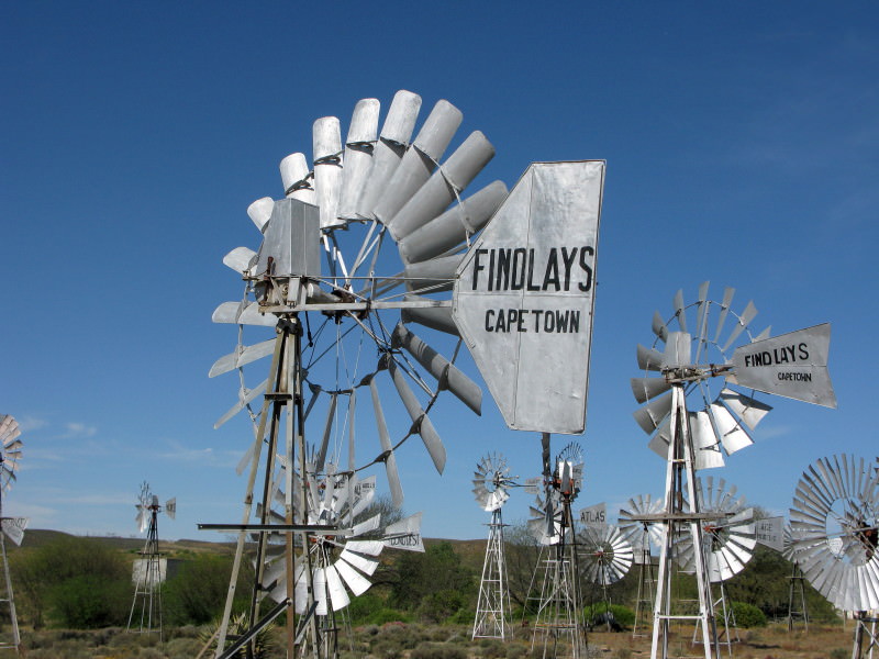
I went to the Fred Turner Windpump museum as I am a great admirer of them for what they contributed towards the development of this country.  It was not open but there is a list of people to phone who will come and open it.  I photographed the list and went to the pub for a beer. The very helpful barman phoned the person on duty and soon he was there to let me in. I pointed out earlier that the trekboers[/] were prevented from taking their sheep further east than the Sak river because the rainfall was too scarce.  Once windpumps were introduced and it was found that there was plenty of fossil water under the Karoo the land was opened up to sheep farming.

I had with me this t-shirt:

3179508958_3a56ca9c78_o.jpg

There is a post about this t-shirt where I thank Plore for giving it to me.  I showed it to the man at the museum who had not seen one before so I gave it to the museum.  They were amused and pleased to have it.  There are 28 different windpumps there.  I asked about the huge one I had seen on the way to Kakamas but they did not know about it.  I had also mentioned it to the barman & he said it was a 24 foot windpump & suggested who made it.

I have no idea who sponsers the museum and, like most other museums, I am sure it operates on a shoestring budget.  The windpumps are all freshly painted and well looked after.  The museum building is an old Baptist church (no wonder it closed down – how many Baptists could there be up there?).  There is a photocopy list of the windpumps with pertinent information about each.  So many ‘museums’ just attach a name plate to each exhibit.  If you know about the thing that you are looking at that is fine but for the new items you come away from a museum like that having gained nothing.  Displays like that are really just reference collections for the informed.  Here is an example of a board in the London Science Museum.

3022287274_b2715c9cf2_o.jpg

This is the label attached to the Jumo engine.  It points out the additional merit of the engine; its simplicity of construction.  Every exhibit in the Science Museum has a label or board with information like this.  It identifies the object then it always puts it into perspective telling you what is significant about it or how it compared to others or affected the development of the product.  Most museums just put items on display and identify them; that is absolutely wrong as a museum is not a collection, it is a source of information and knowledge.  The Science Museum is an excellent example of how it should be done.

z7KyjQy.jpg

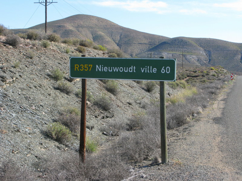
All the signs to Nieuwoudtville are like this.  Apparently they wrote Nieuwoudtsville and fixed it by just obliterating the ‘s’; is it any better like this as both a blank & s are wrong?

A2GzEvI.jpg

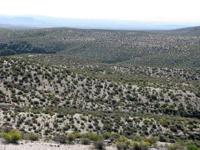
Here is the start of the edge of the Karoo plateau as it drops down to the Atlantic coastal plain.  The bushes are quite a bit bigger here; probably get more rain but I also suspect that nothing is eating them just here so the veld is slowly recovering.

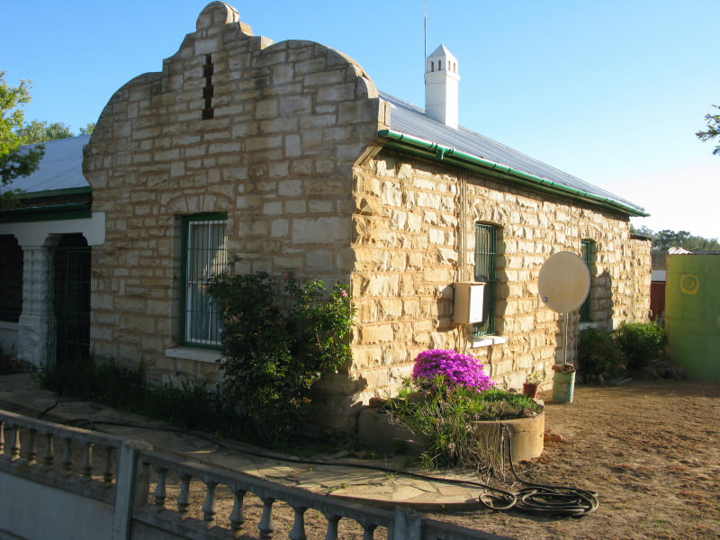
I am interested in old buildings.  Nieuwoudtville has some good stone buildings.  I will show some of them.

rEgtKC3.jpg

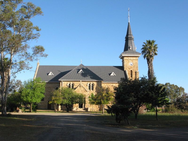
The DR Church in Nieuwoudtville.  It has a rather nice spire.  Made out of local stone – as are quite a few houses in the town.

r1Ukccy.jpg

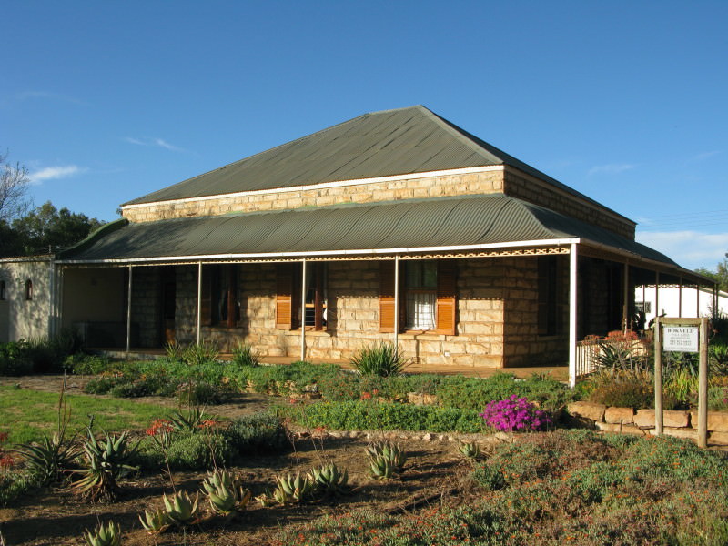
A Victorian house nearby.  Nice ogee curved  corrugated iron roof on the stoep.  The advantage of these roofs, besides being elegant, is there is no wooden support required under it (which is required if the sheets are left flat)

663Qw64.jpg

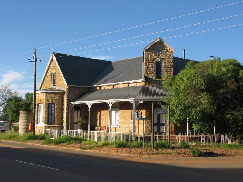
This building is used by several professional societies as their local base when they come to work in the area (botany, entomology,  geology, environment etc).

cCV1C3d.jpg

A Cape Dutch gable in stone.  Avery peculiarly shaped gable.  The upper inward curving part is called the hol, the lower outwardly curving bit is called the bol.  Usually the hol and the bol are about the same size.  I am not complaining; just saying why it looks peculiar to me.

qurvbFR.jpg

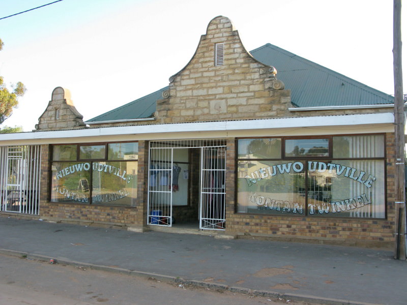
More Cape Dutch stone gables.  I find these very pretty.  This only has hols.  It has the more usual as high as it is wide proportion.

JQNTExp.jpg

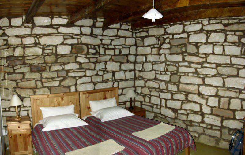
The bedroom of the cottage I stayed in.  There was a book of photos showing the restoration of this building.  The whole right hand end (as in this picture) was dismantled and the stones laid in their correct position on the ground, then it was re-built with each stone going back where it belonged (the wall had been about to fall down).  That is how proper restoration should be done.  The house has also been renovated (it was a garage or shed) so changes have been made but it has stayed faithful to the original style.


uDAxOkp.jpg

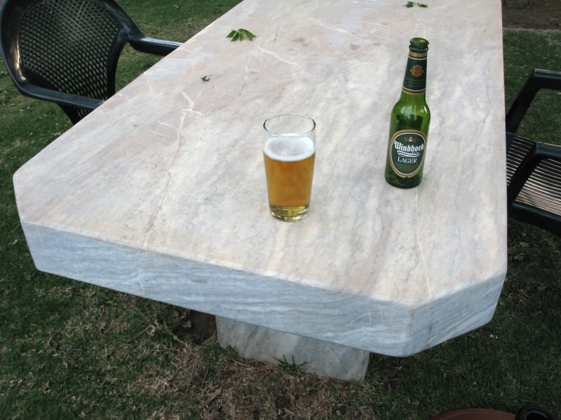
The table in the beer garden at Smidswinkel restaurant where I had a very nice supper.  I think this is white sandstone (the pulpit in the church is white sandstone but I did not see it) but it might be marble as there is a marble mine near Vanrhynsdorp (though the marble I have seen from there is light grey).
 
Awesome, Tokkie, I just had time to read it now  :thumleft:

A book you might also enjoy, with lots of detail on early Cape life, the frontier conflicts, etc. is: Die Afrikaners (also available in Eng: The Afrikaners) by Hermann Giliomee.

I'm also fascinated by the pre-colonial San: if I remember correctly, the most recent excavations suggest that they have been in Southern Africa for as long as 40,000 years. But they were no match, militarily, for the Europeans from the south, nor the Black tribes from the north. Jarred Diamond's Guns, Germs and Steel comes to mind.

Thanks again for the great read :)
 
This is excellent! (You should get your own museum tok-tokkie, I suspect you have enough interests and energy for research to keep it well stocked - and labelled  :mwink:)

I see your bike has the same bad habbit of eating your number plate.
 
tok-tokkie, congratulations! This is one of the very best forensic, romantic, historic and epic ride reports I have read since the great swamps of the central Karoo dried up. When it comes to your mode of transport, you have now decisively underlined the fact that size, speed, noise and bling do not count - not at all!! Your photos are first class and your eye for detail, science and method can only be admired. Well done :thumleft:
 
Top