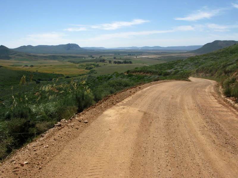
Sak River

This site may earn a commission from merchant affiliate links, including eBay, Amazon, and others.
Well . TT , this is  definitely one of your best reports ever.
Strange , I was never interested in History at school , but having joined the WD and having met such interesting people and gone to such inspiring places , I must say , I feel quite privilege to have met someone like you , Ant. and not forgetting , my good friend Crossed-up , (whom you introduced me to.)

Thoroughly enjoyed reading your report and looking at all you great pics.
Must admit , I had to try and stop clicking all your reference links as I was getting more sidetracked and it was already taking me so long to get your to the end of your RR.

I think I`ll read it again tomorrow again.

Wish I had the time on my hands , to just close shop and ride with you someday.

 
Sak river day11    Nieuwoudtville to Green Point      091003  Saturday  436km


SE1tCCk.jpg


Mcx8IzX.jpg

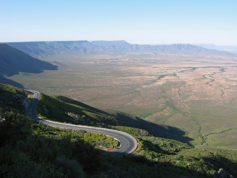
Van Rhyn’s pass with the escarpment of the Bokkeveld and the Atlantic coastal plain.

P1kEp7C.jpg

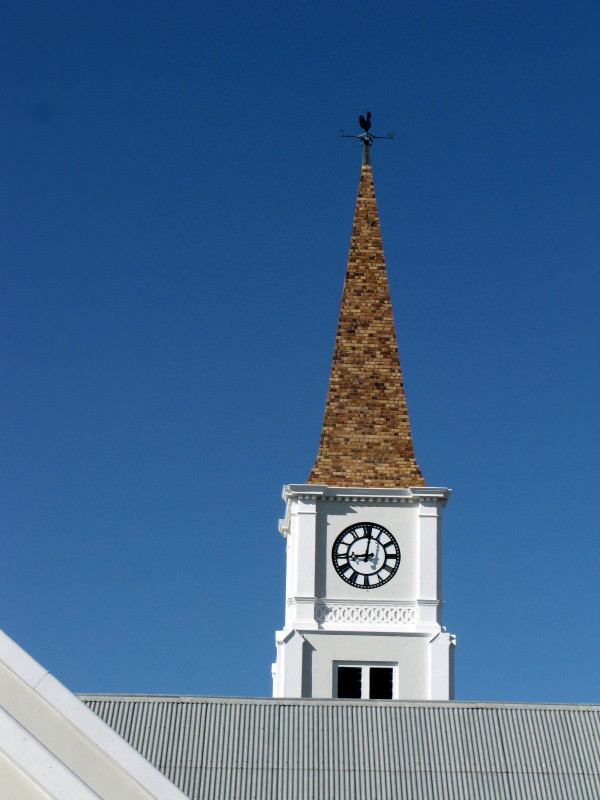
The interesting brick steeple of the DR Church in Vanrhynsdorp.

BLsRb6b.jpg

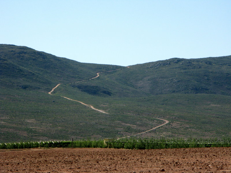
The road to Brand se Berg.  I have not been up there – looks very interesting.

LUth58I.jpg

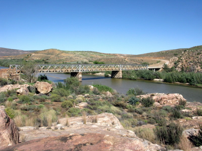
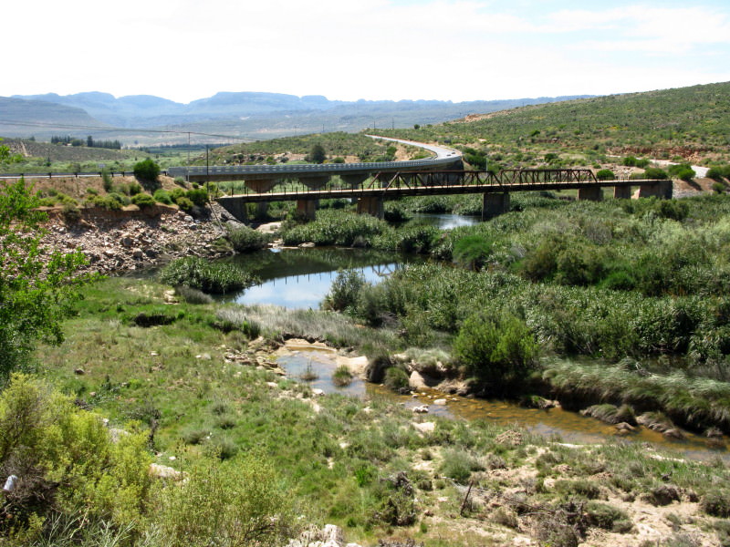
Bridge over the Doring river.  I have been down the Doring in a blow job – pretty cold in winter.  Those steel girder bridges are usually for trains.

4KtOCQ9.jpg

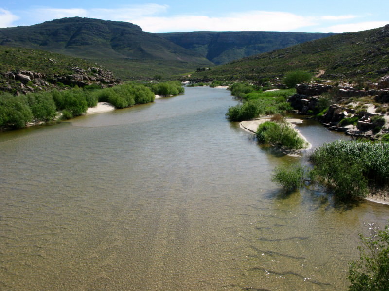
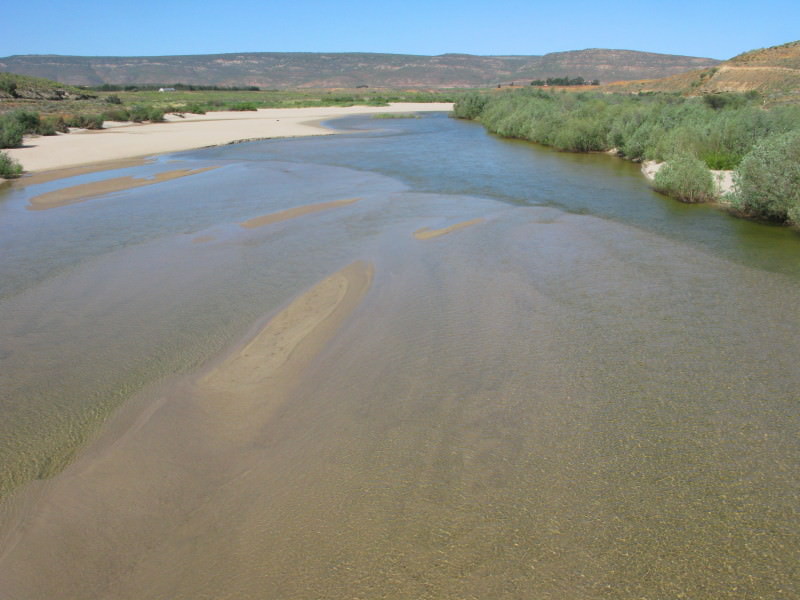
The Doring upstream from the bridge.

GCSGtjE.jpg

Doring downstream from the bridge.  It soon joins the Olifants.  The Doring is mentioned quite a bit in The Forgotten Frontier as the Doorn.

ldMQ0be.jpg

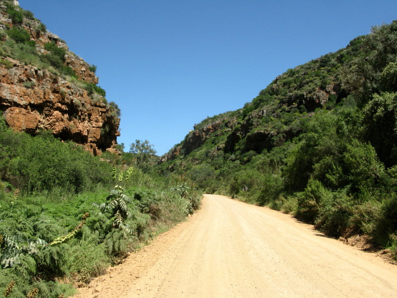
I rode up the gravel road on the eastern side of the Olifants river.  It was a road that Crossed-Up mentioned in a report which made me want to come this way.  You can see the tar N7 on the other side of the Olifants.

KNwavg5.jpg

Very picturesque is the Olifants here.

HdP7qNs.jpg

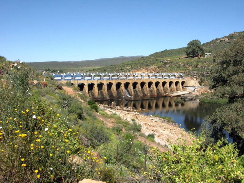
Then you come to this.  Called the Bulshoek Dam (Barrage in Mapsource).  It supplies a canal 83 km long down to Vredendal and Lutzville. Built in 1924.  To me it is particularly attractive, it is built of dressed stone like a cathedral.

In Clanwilliam I had a late breakfast/early lunch.

luvSShd.jpg

I have now left Clanwilliam after having a late breakfast there.  That old bridge over the Olifants interested me.  It is a road bridge.  I wrote a thread about some bridges in France.  In it I pointed out that the span between the piers can be much greater if the bridge is ‘boxed’.  Notice that the span of the centre two sections is double that of the outer portions thanks to the ‘boxing’.

RRIpRIq.jpg

I then cut over the Olifantsrivierberge to Paleisheuwel.  This is on the way up.  It was White Stripes who alerted me to the Paleisheuwel  road in a recent report of his.

xzUEBCz.jpg

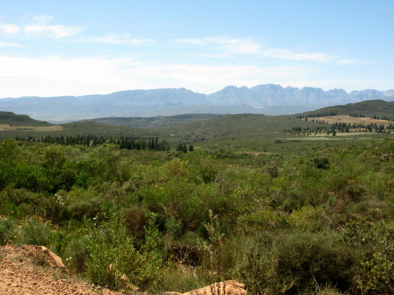
On top you have a nice view over the Olifants river valley of the Cederberge. 

ByauErk.jpg

From Paleisheuwel over the Kapteinskloof road at the back of Piketberg, on to Darling on gravel roads (not beside the railway from Hopefield) and home.

--------------------------------------------------------------------------------------------------------------------
 
tok-tokkie said:
4022490502_d1ca20f76e_o.jpg

I really liked this fence at the museum.  Those are the heads of drilling machines.  Much bigger than water  boreholes, I have no idea what they would have been used for in this area.  Anybody with something to say about them?

Those are offshore drilling bits which gets used for drilling oil wells. You get all different sizes, shapes and and which get used for the different formations.

We use them offshore on our rig when drilling new wells.
 
KTM BIGGER said:
tok-tokkie said:
4022490502_d1ca20f76e_o.jpg

I really liked this fence at the museum.  Those are the heads of drilling machines.  Much bigger than water  boreholes, I have no idea what they would have been used for in this area.  Anybody with something to say about them?

Those are offshore drilling bits which gets used for drilling oil wells. You get all different sizes, shapes and and which get used for the different formations.

We use them offshore on our rig when drilling new wells.
So what do you think they are doing in Williston?  Check the map, it is decidedly onshore.

Do you think they are from the early days of SOEKOR when they were drilling on land?  Did they drill in the Williston area?  How long do those things last?  Would they use up quite a few drilling a test hole?  can't they replace the actual drilling gear like things in those heads?
 
tok-tokkie said:
KTM BIGGER said:
tok-tokkie said:
4022490502_d1ca20f76e_o.jpg

I really liked this fence at the museum.  Those are the heads of drilling machines.  Much bigger than water  boreholes, I have no idea what they would have been used for in this area.  Anybody with something to say about them?

Those are offshore drilling bits which gets used for drilling oil wells. You get all different sizes, shapes and and which get used for the different formations.

We use them offshore on our rig when drilling new wells.
So what do you think they are doing in Williston?  Check the map, it is decidedly onshore.

Do you think they are from the early days of SOEKOR when they were drilling on land?  Did they drill in the Williston area?  How long do those things last?  Would they use up quite a few drilling a test hole?  can't they replace the actual drilling gear like things in those heads?

I know where Williston is, my history is just very poor Tok Tokkie.... but i will try and help you as much as i can so you can get to your final answer.

The bit is what we call a TRICONE Bit which gets used for rocky formations. They can only replace the nozzles of the bit which gets inserted in the black hole. Nozzles have different size holes to create different size mud ( is the drilling fluid used to cool the bit, allow betterdrilling in different formation and keep certain gasses down hole with a heavy mud weight) pressure/speed and to allow faster or slower cooling effect on the bit.

To answer your question on the duration they last, that all depends on the depth they wanted to reach. Drilling normally starts with a 26" bit and drill to aprox 500FT and then set casing to prevent loss of fluid to the formation and blow outs. They then pick up a 17 1/2" bit and drill to about 2000FT and set casing in the ground. Then drill with a smaller bit 12 1/4" which looks like the above one in the picture and drill to about 5-6000FT. Set casing again to go further until they get to a 2-3"tubing which they will use to flow the well with inside the last casing which gets cemented.

https://www.smith.com/Datasheets/ProductInfo.aspx?ID=20&page=8dddeb1d-4566-4320-a017-4b129465ca88

I hope i have helped here....

Let me know if i can assist further.
 
Thank you very much for such a well-researched, informative and attractively presented RR & pictures!! You prove beyond any doubt that its the YOURNEY that matters - hats off to you!! Groetnis  :thumleft:
 
KTM BIGGER said:
tok-tokkie said:
KTM BIGGER said:
tok-tokkie said:
4022490502_d1ca20f76e_o.jpg

I really liked this fence at the museum.  Those are the heads of drilling machines.  Much bigger than water  boreholes, I have no idea what they would have been used for in this area.  Anybody with something to say about them?

Those are offshore drilling bits which gets used for drilling oil wells. You get all different sizes, shapes and and which get used for the different formations.

We use them offshore on our rig when drilling new wells.
So what do you think they are doing in Williston?  Check the map, it is decidedly onshore.

Do you think they are from the early days of SOEKOR when they were drilling on land?  Did they drill in the Williston area?  How long do those things last?  Would they use up quite a few drilling a test hole?  can't they replace the actual drilling gear like things in those heads?

I know where Williston is, my history is just very poor Tok Tokkie.... but i will try and help you as much as i can so you can get to your final answer.

The bit is what we call a TRICONE Bit which gets used for rocky formations. They can only replace the nozzles of the bit which gets inserted in the black hole. Nozzles have different size holes to create different size mud ( is the drilling fluid used to cool the bit, allow betterdrilling in different formation and keep certain gasses down hole with a heavy mud weight) pressure/speed and to allow faster or slower cooling effect on the bit.

To answer your question on the duration they last, that all depends on the depth they wanted to reach. Drilling normally starts with a 26" bit and drill to aprox 500FT and then set casing to prevent loss of fluid to the formation and blow outs. They then pick up a 17 1/2" bit and drill to about 2000FT and set casing in the ground. Then drill with a smaller bit 12 1/4" which looks like the above one in the picture and drill to about 5-6000FT. Set casing again to go further until they get to a 2-3"tubing which they will use to flow the well with inside the last casing which gets cemented.

https://www.smith.com/Datasheets/ProductInfo.aspx?ID=20&page=8dddeb1d-4566-4320-a017-4b129465ca88

I hope i have helped here....

Let me know if i can assist further.

See my earlier post... :deal:

Soekor was in the area in the early seventies - and the site closest to Williston was about 10 km out of town on the road to Sutherland, looking for oil.

Found nothing, so after a brief period of huge excitement, life reverted back to farming with sheep...
 
Thanks Toktokie to put it all together, I just love the Karoo, its history and the people;

- windpompe, the karoo boere se moto: "hou die windpompe en ramme aan die werk", I was looking for a specific pomp but found this one in the meantime:

"Titel: Windpomp
Deur: Andre Mouton

Een dag op ‘n agterpad na Victoria-Wes
moet ek stop want my tjor het ‘n dors om te les.
In die verte blink sien ek ‘n windpomp wink
en dit is toe net daar waar ek ‘n sinkdam vind
En vir die eerste keer in my lewe let ek wel
op die absolute wonder van die windpompspel.

Wind pomp water uit die aarde uit
Stang beweeg op en af
Stang hyg in en uit
Wiel draai water uit die aarde uit"

Die Karooson bak so dat die sweet van my lyf af stroom
Net daar trek ek my klere uit sonder om te skroom.
Toe van die wal met ‘n kreet en ‘n knal
breek ek die water in en daar spat ek lekker rond
in die water uit die grond.
En vir die eerste keer in my lewe let ek wel
op die absolute wonder van die windpompspel.

(refrein) Wind pomp water uit die aarde uit

Met al die lekker gespat let ek nie op dat
die son het na die horison gestap.
In die vonkelskemer verlaat ek die hemelbad
om die pad terug na my kar te vat.
En my hart is swaar van die pomp wat ek moet agterlaat
En vir die eerste keer in my lewe let ek wel
op die absolute wonder van die windpompspel.

(refrein) Wind pomp water uit die aarde uit x2
Stang beweeg op en af
Stanb hyg op en af
Wiel draai water uit die aarde uit.

(Kopiereg voorbehou
3 Januarie 2007)

 
Top