The Fyndraai Experience

This site may earn a commission from merchant affiliate links, including eBay, Amazon, and others.
There has been a slight delay....what you have seen until now was page 1 of my notes. There are 4 pages.

Page 2 had disappeared. I have spent 24 hours looking for it. Turning over carpets, shifting stuff, even went through the rubbish bin. Main suspect was the black cat: he cannot leave a sheet of paper alone.

Eureka!!!    Found it under the far end of the couch. :thumleft :-[:

What happened in between was that I tried to find out some facts about page 3. But we'll get there later....

Back to the RR:
Thursday night Abel & myself and his mother went to his sister & BIL for a braai at Modderrivier.
Next morning we hit the road to the bash. Myself not being from that area found the roads rather boring. There is a lot of history (and tragedy) that relates to the Anglo-Boer war in the vicinity.

We stopped at Magersfontein:
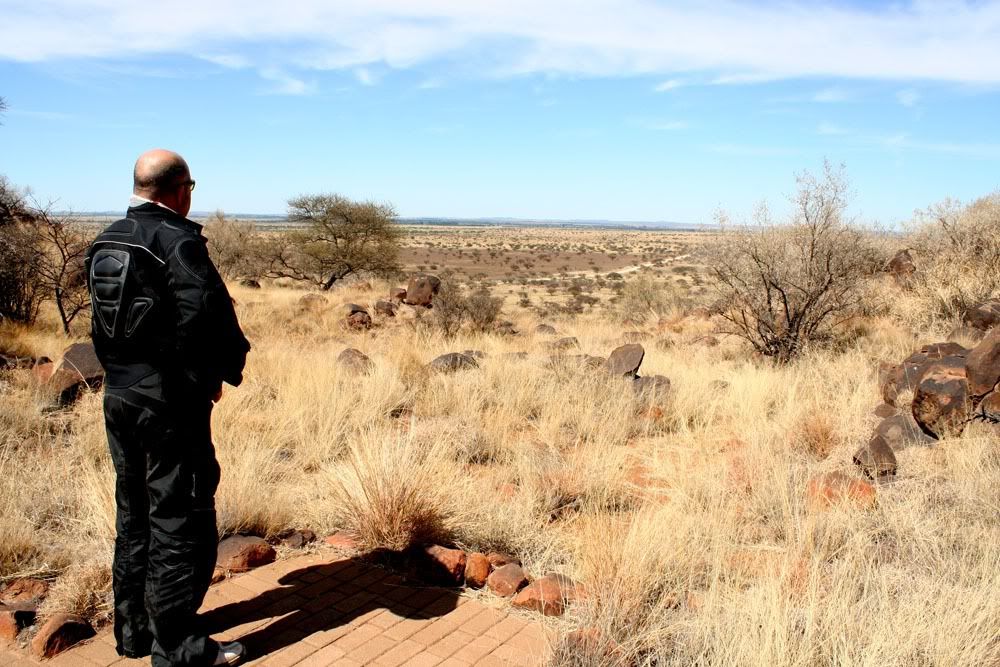
113B.jpg


In the middle of nowhere we passed a police station called Werda. I asked Abel: "What do these cops do?"
Answer: "Stock theft."
Dunno. Very boring place to work.
If I was a sheep in that place I would migrate.

Since last year I have had the urge to take some nice pics of Meerkat families. September last year a whole family stared at me from a mound at sunset but I didn't have my camera at hand.

Now, as I came tonking it around a corner a whole Meerkat family disappears into an Aardvark hole.
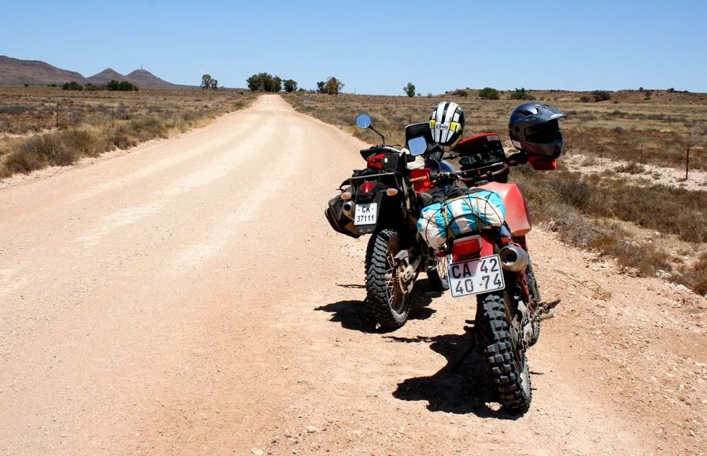
116B.jpg


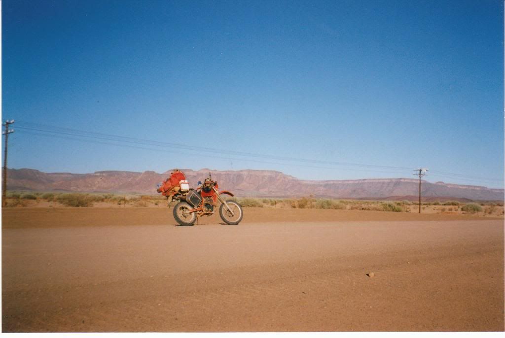
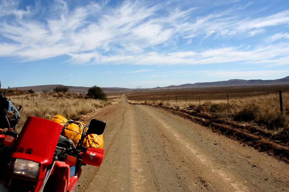
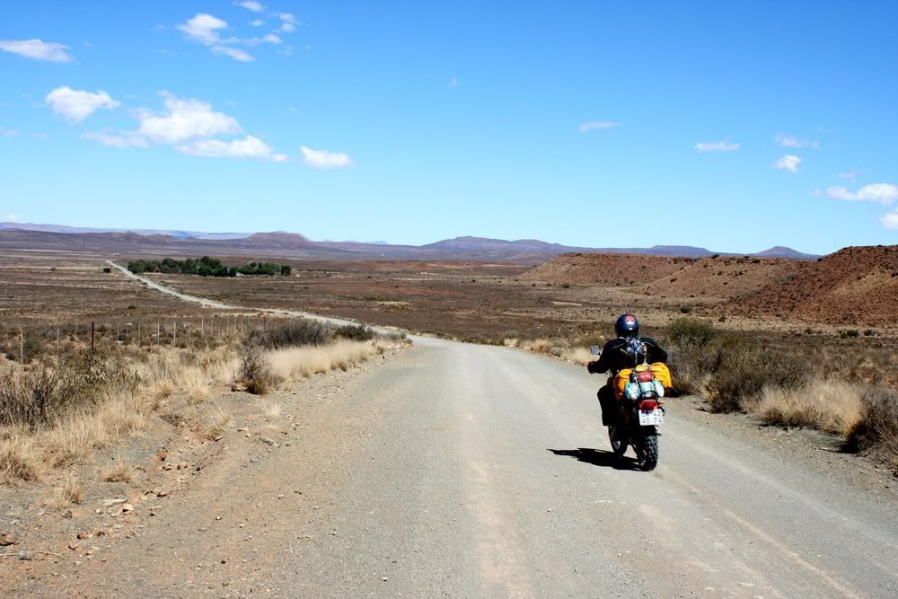
Sorry, the pictures cannot convey how boring the road was.

We move on to the Orania area. Impressive farms near the river!

We hit the town, stop at the cafe for a cooldrink & pie.
A very attractive +/- 25 year old woman serves us in a very friendly manner and enquires where we are from.
"Cape Town".
Blank stare.
"Bloubergstrand?"
Even blanker stare.
"Melkbosstrand?"
Turns out she grew up somewhere in Joburg and moved straight to Orania. Her beautiful body has never graced the beaches of Clifton, Kogelbaai or Langbaai.

As we saddle up an initially shy 12-year-old red haired girl comes to chat with us and is equally oblivious about where Cape Town is. What does strike you is how friendly everybody in the town is. Amazing.

 
Sprocket

Wie is die eienaar as ek mag vra? PM my as jy wil

thanx

036B.jpg
 
Hey Sprocket ek het lank gewag vir die report, ...... , nog assebleif .............. :drif: :drif:
 
My genade Sprocket! Ek loop slaap spesiaal vroeg en dis al wat jy post! :peepwall:
Kom bru maak of jy mal is en doen alles....................... Gou gou. :thumleft:
 
Subscribe. Lekker ride.  :thumleft:

I got lost in the Northern cape once, riding with DeepBass9 we were confounded by some locked gates and ended up riding through Niekerkshoop.
Very small town!
 
LeonDude said:
Subscribe. Lekker ride.  :thumleft:

I got lost in the Northern cape once, riding with DeepBass9 we were confounded by some locked gates and ended up riding through Niekerkshoop.
Very small town!

Niekerkshoop is not a one horse town. They share a horse with Griquatown :imaposer: :imaposer:
 
Snafu said:
Sprocket

Wie is die eienaar as ek mag vra? PM my as jy wil

thanx
Daar was 'n artikel in Aug 2010 se Weg oor die Gifberg area, uitgawe #70. Sal bietjie soek.

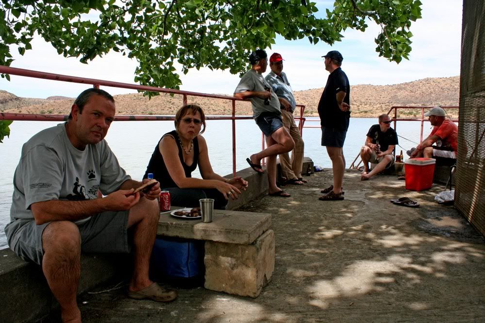
We arrived at the bash campsite early Friday afternoon and pitched our tents. Was great to see everybody arrive.
Butch transported my camera's battery charger, thanks a lot dude  :thumleft:

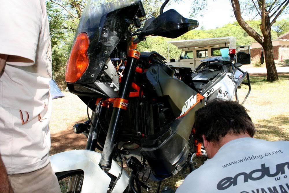
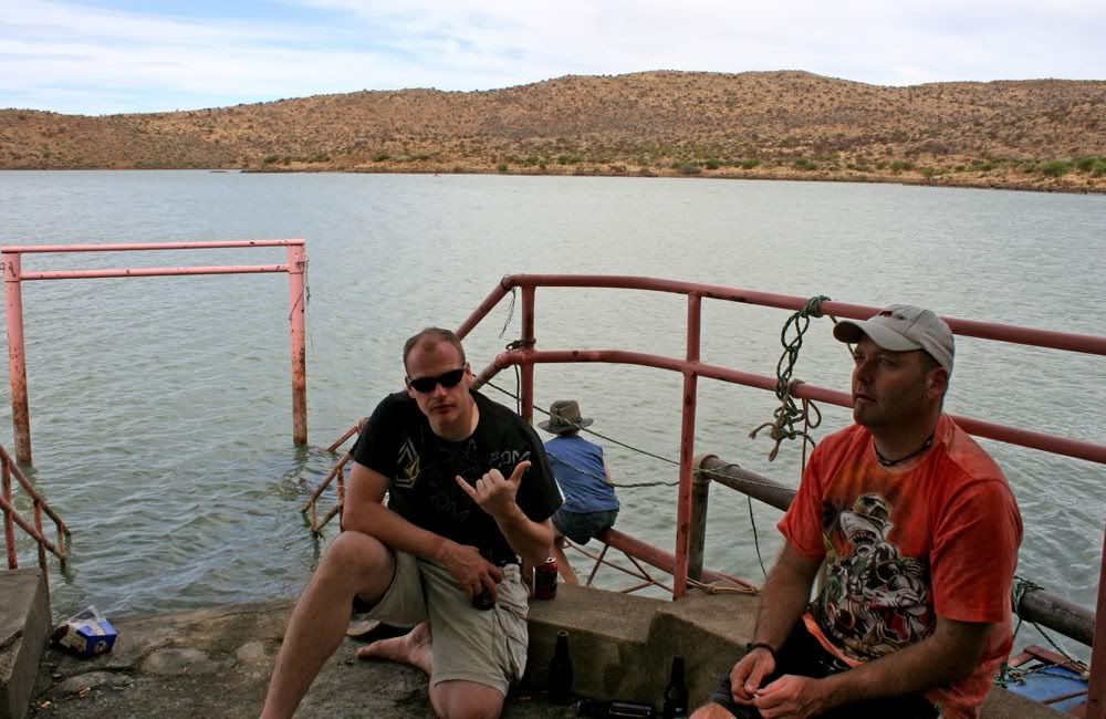
Saturday morning we felt rather brittle but cracked a beer open while B & C cleaned his 990's fuel filter:

121B.jpg


Rassie & Oubok:

122B.jpg


124B.jpg


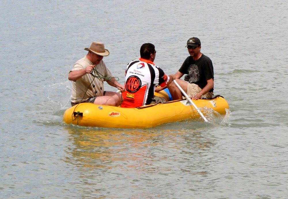
Rub-a-dub-dub:

130B.jpg


Due to the dilution factor dam-pissing is a much lesser sin than river-pissing:
 

Attachments

  • 126 B.jpg
    126 B.jpg
    205.9 KB
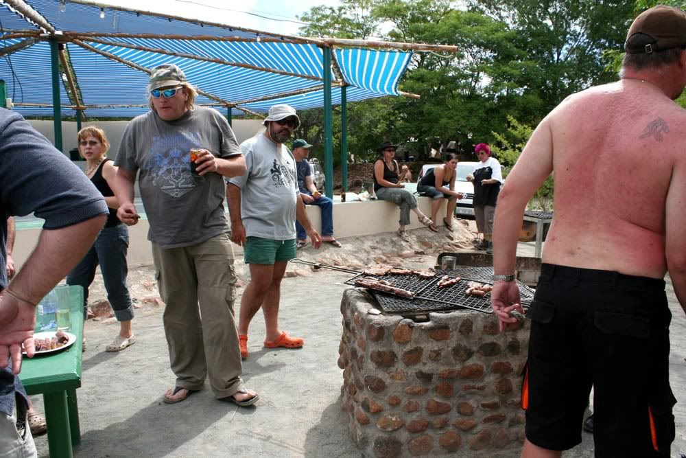
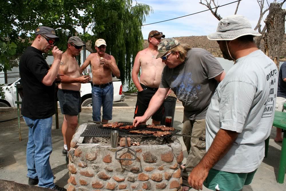
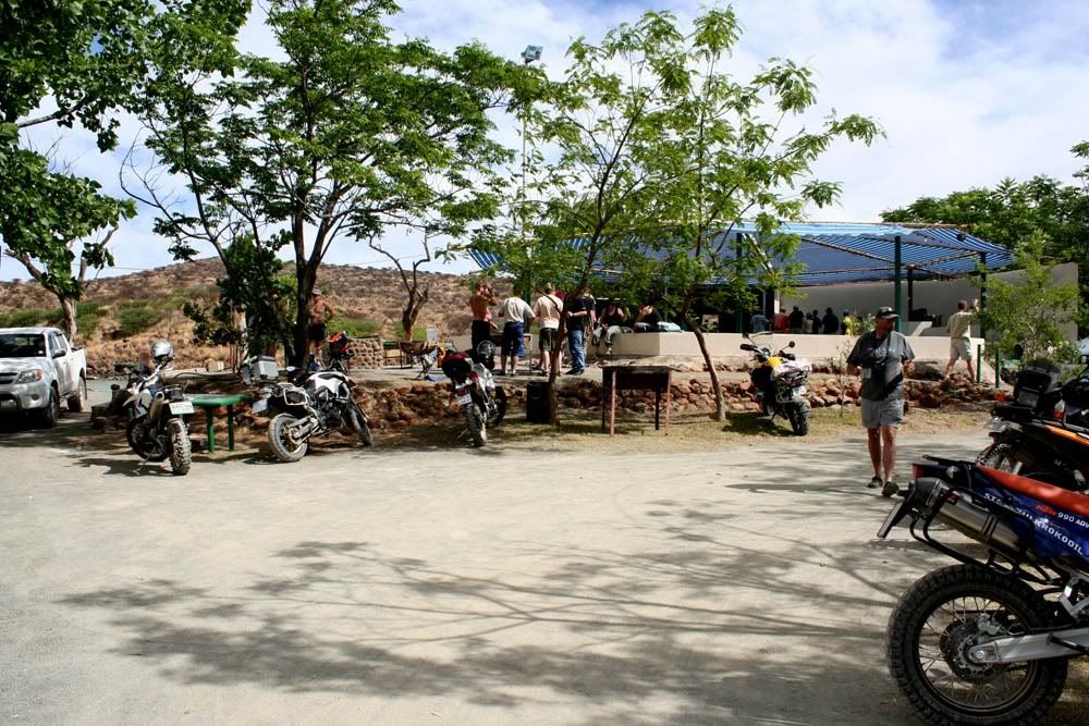
Braai fires were lit nice and early. The bar facilities & braaipacks were excellent.

HSK, Zetman, all the Cavegirls in the background:

134B.jpg


136B.jpg


139B.jpg


Laurika & Milkybar:

141B.jpg


Sometimes it's handy to have kids:

146B.jpg


149B.jpg


156B.jpg


159B.jpg
 
Lekker trip N & A.

Dit is altyd die trips wat probleme het wat mens die meeste onthou. Nice photos, laat kom maar met die res.  :thumleft:
 
Lekker trip report sover - jy hou ons darem lekker lank op fyndraai!
 
Sunday morning the first people started leaving quite early but I wasn't so quick out of the blocks. :bueller:
It was planned to be the longest day's ride of the trip, about 550 km, but it turned out to be a lot longer than that: 658 km.
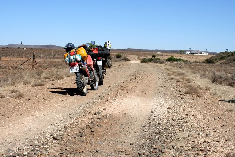
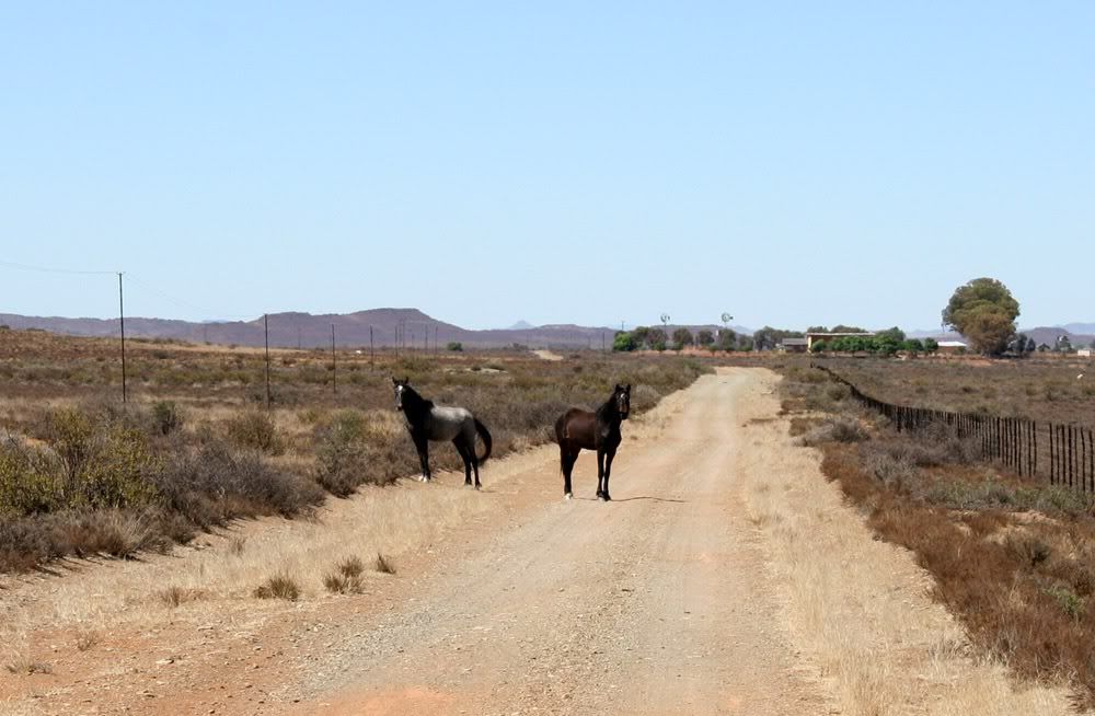
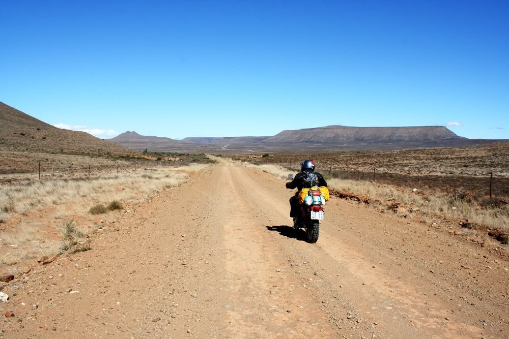
We stuck to tar initialy, Petrusville then Philipstown. A few km after that we turned right onto gravel.

160B.jpg


165B.jpg


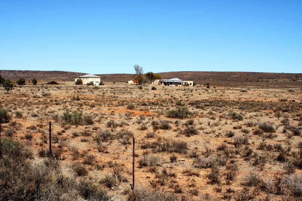
At this spot a very friendly farmer in his bakkie stopped next to us. We chatted for a while and we remarked how sad it was that so many farmhouses were standing empty. He agreed, saying that of the 12 farms that earlier had families on in that area, only 2 are populated today. Some of the farmers had bought out adjoining farms whilst others, like himself, stayed in town.
Empty farmhouses:

166B.jpg


169B.jpg


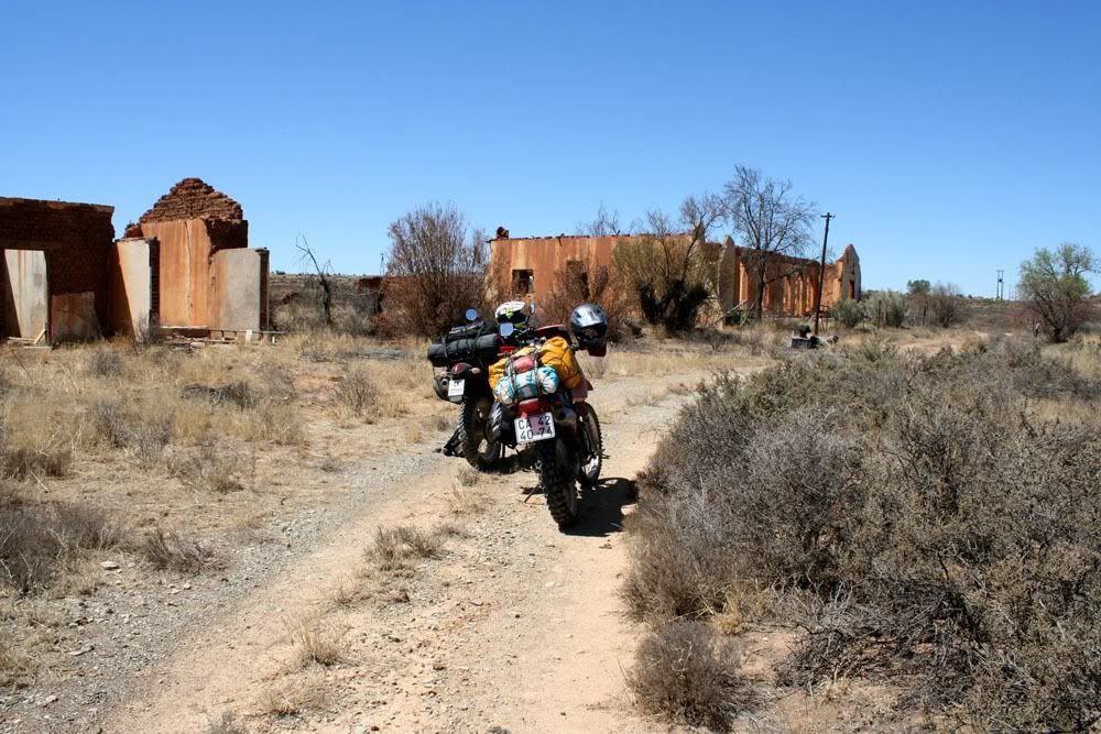
The farmer mentioned that a little distance from there a small town had existed "before his time". It was called Burgerville. We set about looking for it, and found it at S30.72728 E24.33844.

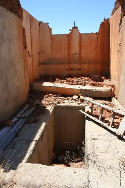
All that is left of it today are some rows of trees, what earlier were streets, and some ruins. They had used unbaked clay bricks so the ruins are also rapidly disappearing.
172B.jpg


175B.jpg
 
Awesome. Lekker avontuur!
 
Apparently the town of De Aar, which lies some distance due West of it, has bought out the water rights of the area.
How that fits in with the town's demise I cannot tell.

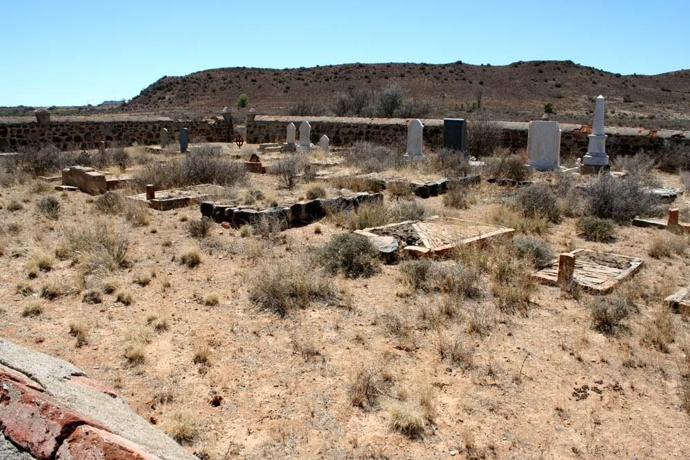
To get more of a 'time line' we visited the cemetry on the outskirts:

190B.jpg


Many of the graves in the foreground are unmarked.
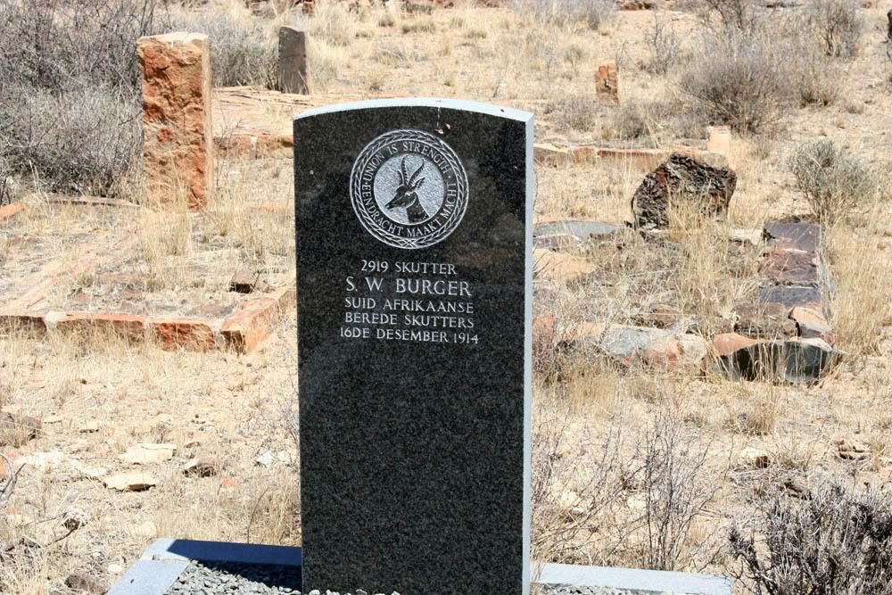
One of the graves is that of a soldier. I have determined that he either died in the 1914 Rebellion or the war with "Duits Wes Afrika", the list I found on the internet did not discern.

192B.jpg


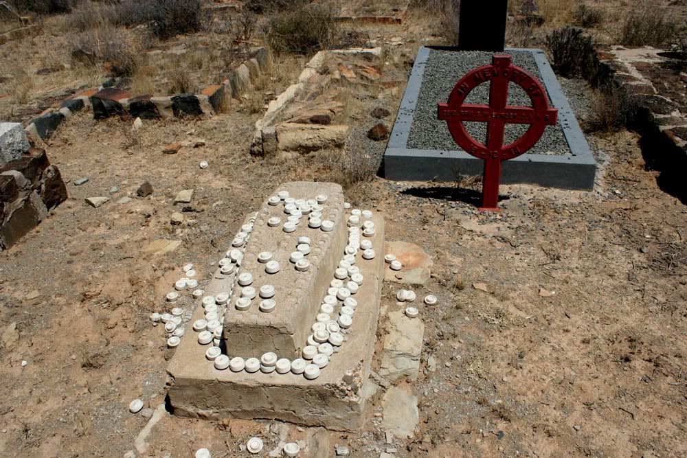
Unmarked child's grave in foreground, that of the soldier in the background.

194B.jpg


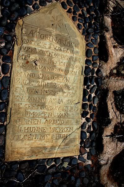
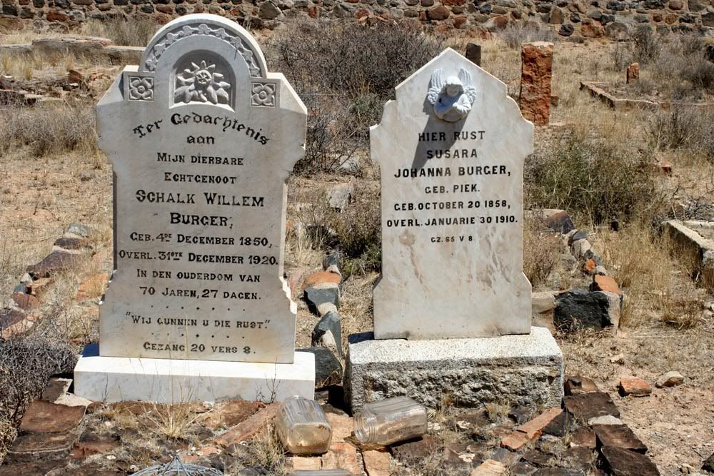
As could be expected, the older tombstones are engraved in Dutch:

201B.jpg


I assume these are the soldier's parents' graves:

196B.jpg


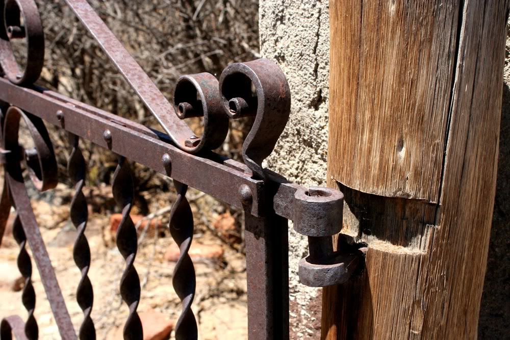
The wrought iron gate to the graveyard:

207B.jpg


One cannot assume that those that died there were born there but it would be interesting to find out more. I find the internet to be quite useless with obscure things from the past. Older books or museums in other towns might have more info. At a guess I would think the town existed between the late 1800's till about 1950. Some maps still indicate the town.

Travelling south there is a derelict siding, Burgervilleweg on the train line between De Aar and Noupoort.
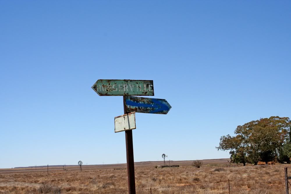
This road sign still directs one to Burgerville:

209B.jpg


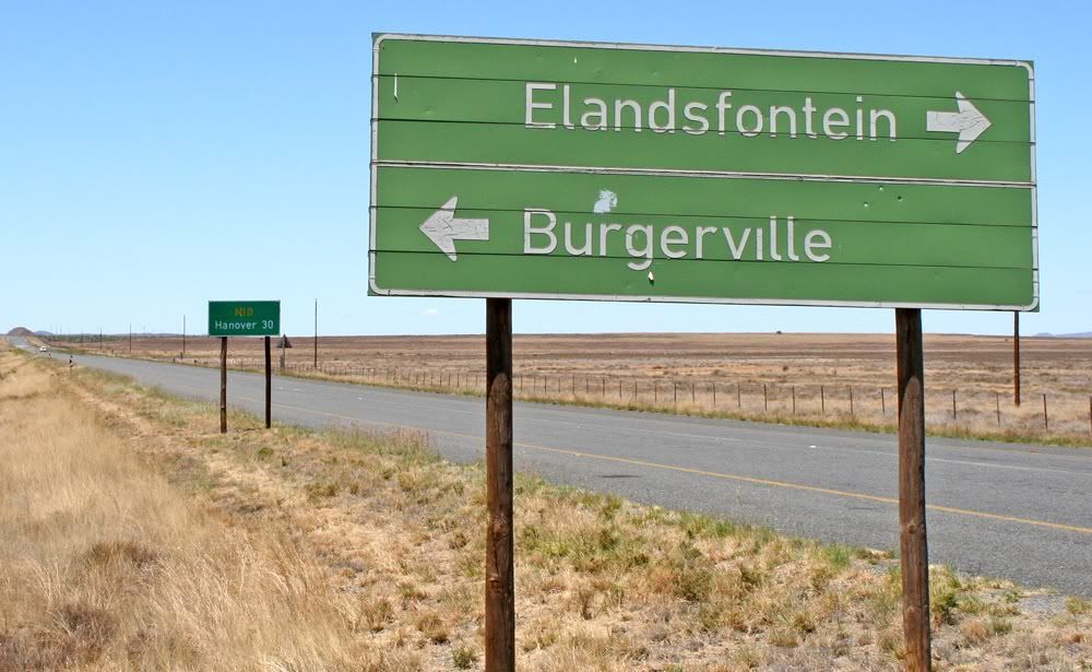
And when we crossed the N10, this much more modern road sign also still indicates it:

210B.jpg
 
Our original plan was to fill up at Hanover but we decided to go to Richmond via Elandsfontein.
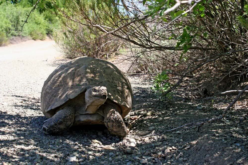
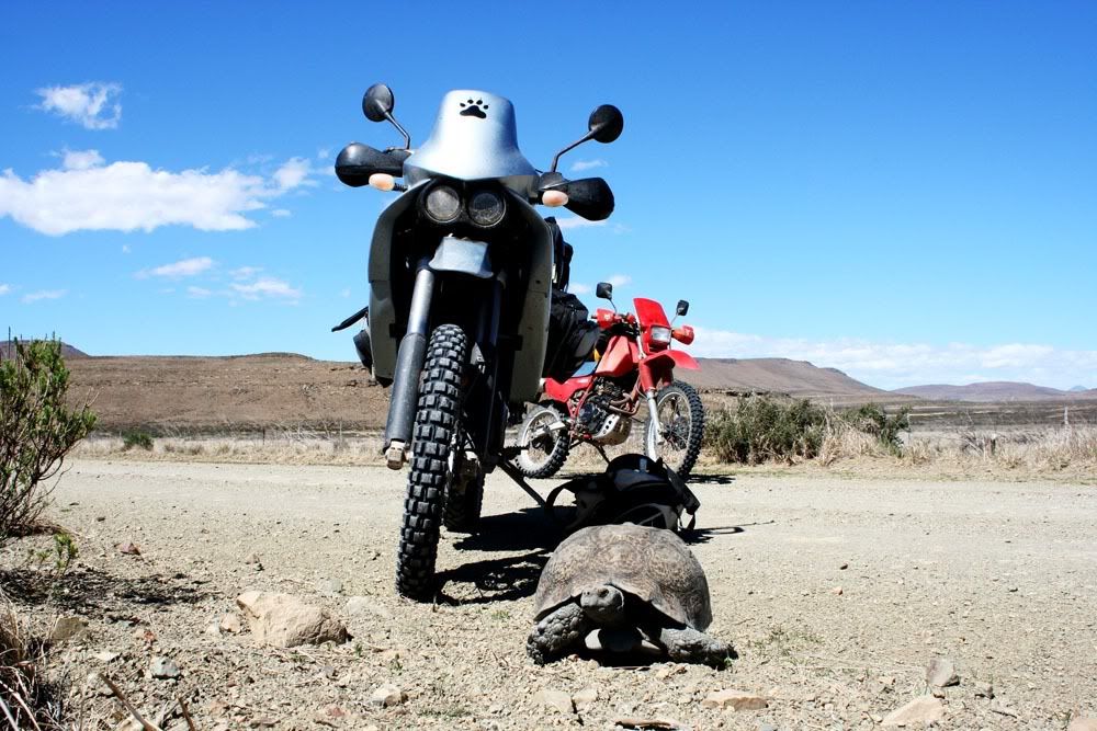
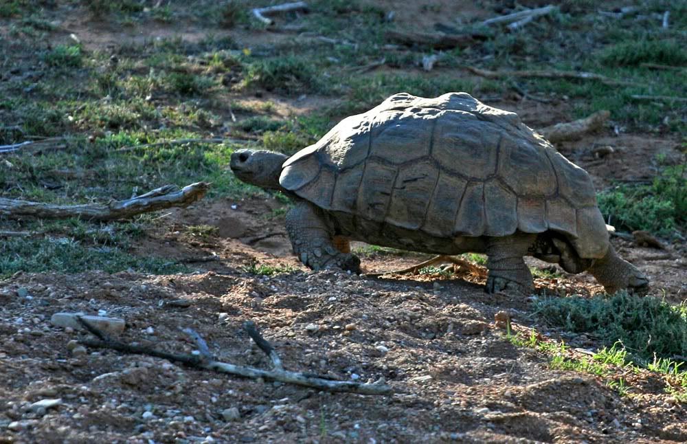
In the heat of the day the tortoises head for shade:

215B.jpg


Richmond to Graaff-Reinet:

217B.jpg


Wanna dice? :mwink:

220B.jpg


230B.jpg


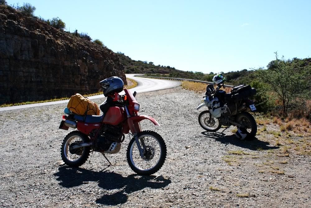
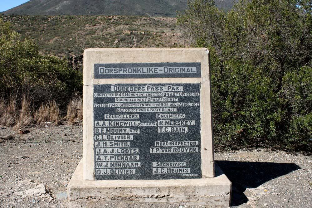
One of the goals of this trip was to ride as many Ouberg Passes as feasible. On the outskirts of Graaff-Reinet is a pass called Oudeberg Pass. It is tar but has lovely curves:

232B.jpg


234B.jpg


On the outskirts of Graaff-Reinet is a suburb called Adendorp. If you turn right there you can travel along the banks of the Sondags River via Kendrew and Uitkomst to Jansenville. For me, this piece of road was one of the highlights of the trip.
Some time that day the Honda's lights had conked out again and we knew darkness was going to catch us, so we turned up the pace along this winding road.

243B.jpg


239B.jpg


We had left our map in Richmond where we had last consulted it and I phoned my cousin in Steytlerville to inform her we were running a little late, no need to worry. She convinced me to not take the dirt road via Mount Stewart at dusk but rather the tar via Wolwefontein. This turned out to be a massive detour and darkness overcame us long before Steytlerville.
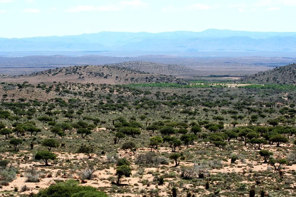
This is Kudu country and we had to keep the speed down for safety reasons.

From town one heads toward Willowmore for 10 km and then it's about 30 km of gravel towards the farm. The last section is a small tweespoor; not having lights on the Honda made this rather difficult.

We reached the farm at 20:30, made our way to the huts after some chit-chat and had a quick braai before turning in.
 
WOW,what a drool lekke trip  and RR Sprocket!  :drif:
Luilekker gemaklik eye candy.
Het jy dalkdie tracks or route op GPS, ek wil Melkbos  toe ry met lekke gravel paaie  hie van die FS af.
Thx  a lot!  :thumleft:
 
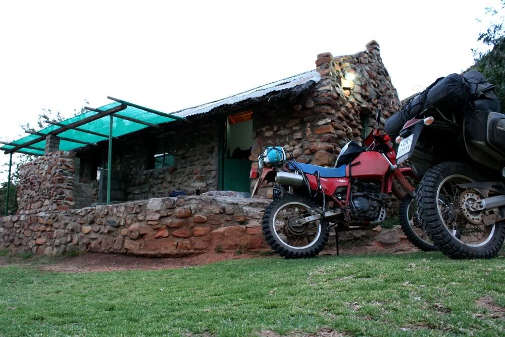
We were sleeping over for 2 nights on the farm.
Just a variety of pics:

259B.jpg


281B.jpg


283B.jpg


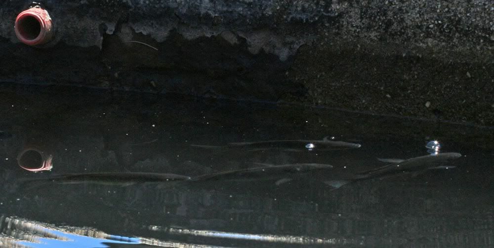
The organic way to combat mosquito larvae and algae is to keep a few carp and bass in each reservoir:

286B.jpg


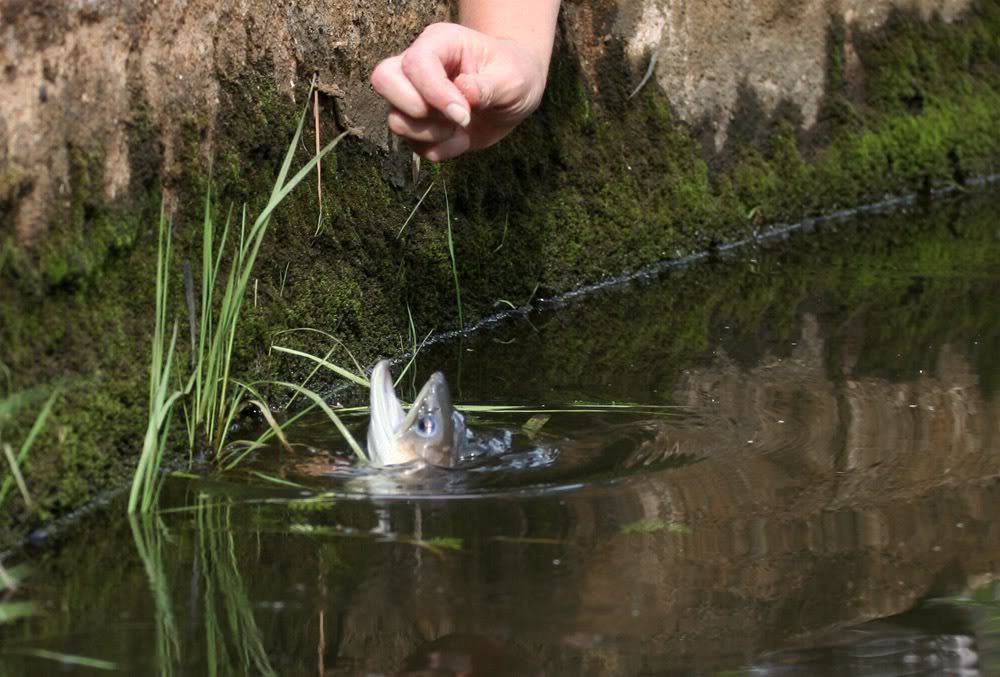
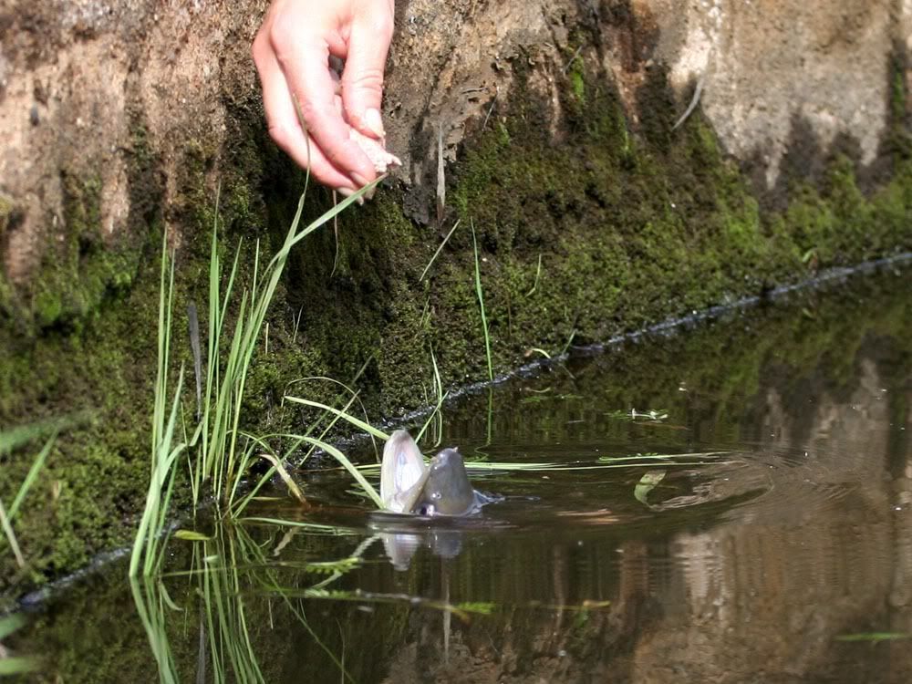
A few years ago they put a baby eel in one reservoir and fed it once a week. Now that it is fully grown it doesn't eat in the winter. It does enjoy the contents of the occasional weaver's nest that falls into the water.
Feeding time:

302B.jpg


305B.jpg


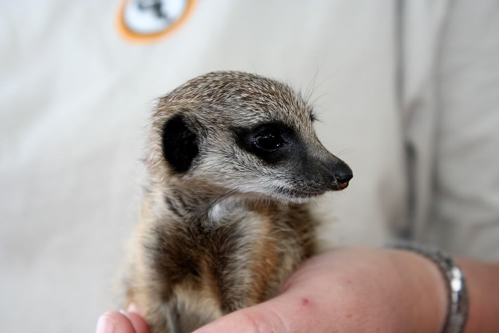
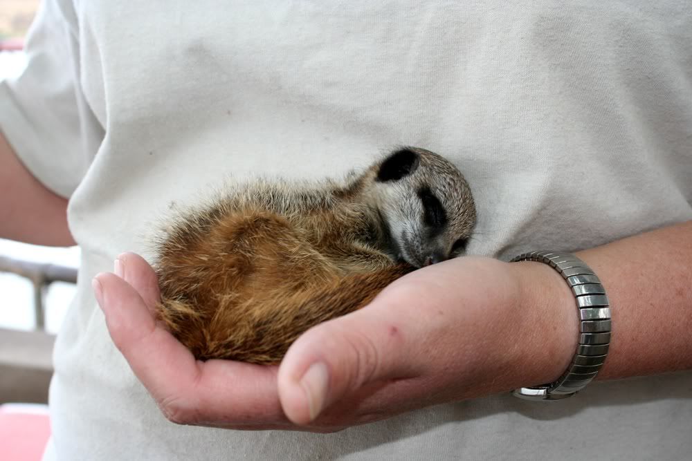
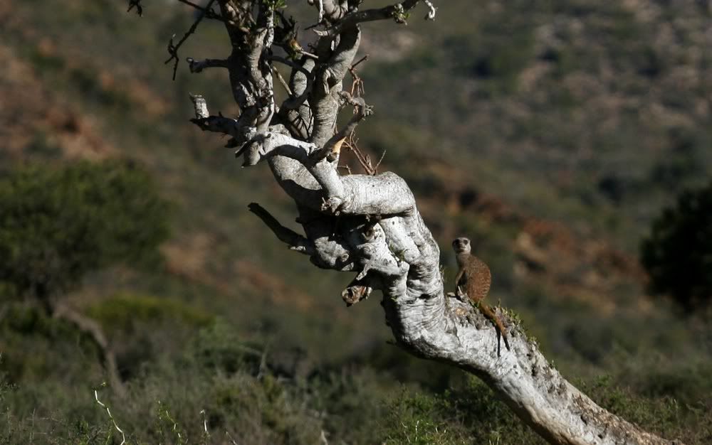
Did you know meerkats climb trees?

318B.jpg


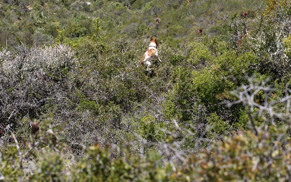
And Jockey the Jack Russel too!  :imaposer:

290B.jpg


260B.jpg


321B.jpg


327B.jpg


330B.jpg
 
Top