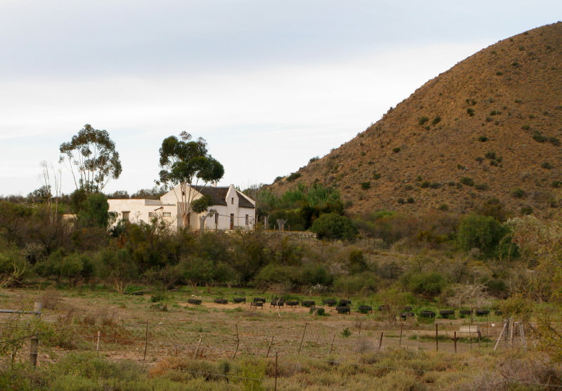
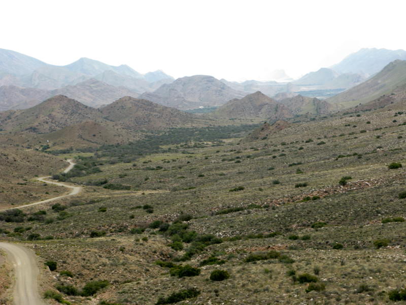
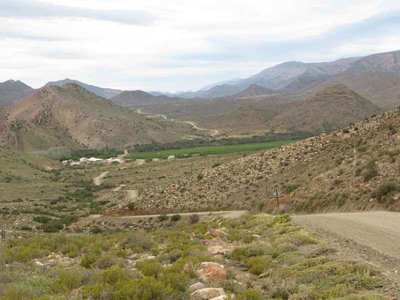
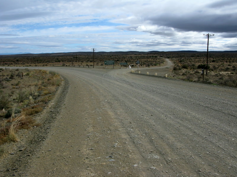
tok-tokkie
Race Dog
Day 1 Calitzdorp 090923 Wednesday 430km 8h 25m
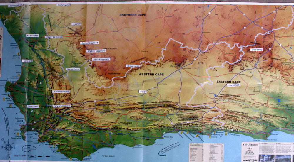
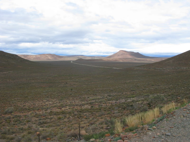
I read a book; The Forgotten Frontier by Nigel Penn. It was about the contest for land between the trekboere and the San (Bushmen) and also the Khoikhoi (Hottentots). The conflict with the Xhosa is well known and documented but this conflict is much less well known. The final refuge of the San was beyond the Sak river. I am interested in the Karoo and decided to ride across it from south to north following the Sak as closely as possible. This is the report on that trip. However I was already booked on an excursion to Prince Albert for the long weekend so I did that first and then went on to the start of the Sak river behind Beaufort West.
Book overview
Traditionally, the Eastern Cape frontier of South Africa has been regarded as the preeminent contact zone between colonists and the Khoi (“Hottentots”) and San (“Bushmen”). But there was an earlier frontier in which the conflict between Dutch colonists and these indigenous herders and hunters was in many ways more decisive in its outcome, more brutal and violent in its manner, and just as significant in its effects on later South African history. This was the frontier north of Cape Town, where Dutch settlers began advancing into the interior. By the end of the eighteenth century, the frontier had reached the Orange (Gariep) River. The indigenous Khoisan people, after initial resistance, had been defeated and absorbed as an underclass into the colonial world or else expelled beyond it, to regions where new creole communities emerged. Nigel Penn is a master storyteller who brings a novelist’s sensitivity to plot and character and a command of the archival record to bear in recovering this epic and forgotten story. Filled with extraordinary personalities and memorable episodes, and set in the often harsh landscape of the Western and Northern Cape, The Forgotten Frontier will appeal both to the general reader and to the student of history.
*Source*
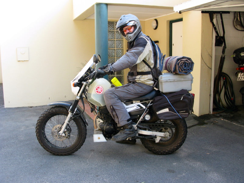
Setting off.
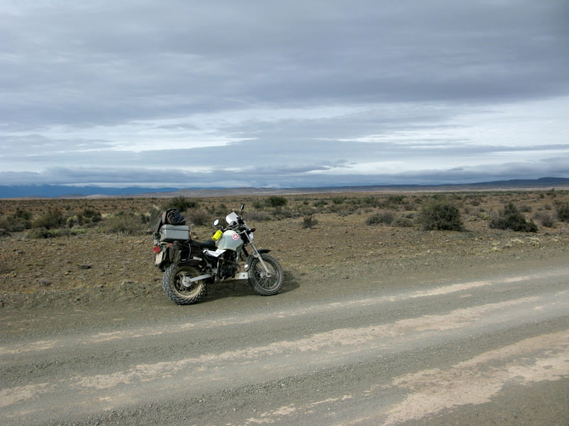
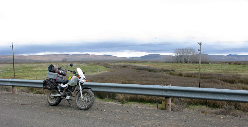
I did quite a bit to the bike.
Single seat so that top box could be mounted low & forwards. I tried all sorts of things, initially a hinged seat with 2 valve springs under it which took out the ‘noise’ of corrugations brilliantly but I did not like the disconnection from the bike (when leaning into a corner the seat was not attached to the bike properly & I did not like that). I had a Freedom Air inflated cushion (similar to AirHawk but better in my opinion) sent from the US which I tried. I made a plastic seat base like the old steel tractor seats & it was comfortable – especially with the Freedom Air but I ended up buying the foam from a Suzuki cruiser style delivery bike and making it wider and flatter. Attached to front is an aluminium bayonet with the yellow Otter box you see. In the Otter box is my camera so I can take photos conveniently & without taking my gloves off. That box is dust & water proof.
Toolbox in front of engine for wheel spanners, tyre levers, foot tyre pump & a spare tube.
Engine bash plate behind it.
16 litre Clarke fuel tank. I chose the natural colour so I can see the fuel level.
Side toolbox on the left where the silencer is on the right. It has my electric compressor & another spare tube.
Chain guide with homemade Loobman style chain oiler.
Martin Praetzold built me a special rear shock from the original and the one from my Dakar. It uses the original progressive spring and housing but with the Dakar rod and internals customised by Martin. The external tank was modified so I now have compression and rebound adjustment (& decent valve shim damping instead of fixed holes) and also remote preload adjustment.
Front forks have custom made cartridge emulators by Martin. I had wanted to fit my Dakar forks but decided against it when i realised I would have less steering trail (wheel further forward) which reduces the steering stability. I have fallen off this bike badly & don’t want to reduce the trail at all. Anybody got forks from Yamaha YX 125 or YZ259? I had a pair from a YZ85 but the axle holes were 12mm & the TW needs 15mm & the bosses were too small to safely enlarge in my judgement. The forks were a terrific improvement.
New mudguard at back so I could fit the top box on. The case is the same one i use on the Dakar. It is a dust & waterproof Storm case.
Throttle rocker. I blessed that simple little thing.
Zumo mount. I needed the music on some of the days.
Sodium coloured glasses as you see in the photo. They don’t make things dark but they cut the glare. I much prefer them to the grey shaded ones i have because these let you see the road surface better than plain glasses.
Extension to the headlight cowl – to put the Zumo in a bit of shade.
Raised handlebars.
I also bought an oil cooler but did not have time to make the changes to fit it.
I have the Dakar still but this bike suits me better as it matches my riding abilities much better. I like the Dakar but I have real affection for the TW.
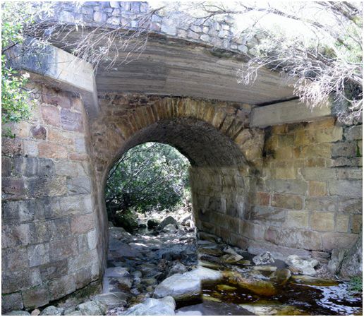
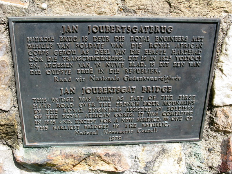
In the Franschhoek Pass. I have ridden past this several times but got off to take a look this time.
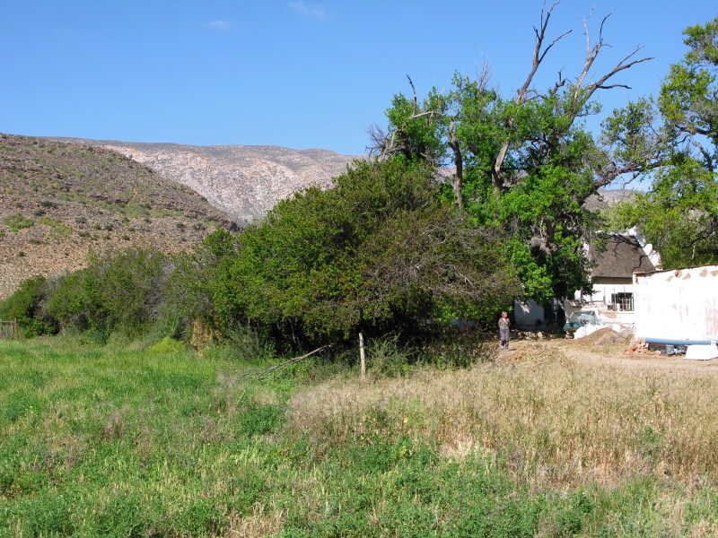
I called in on Ektoknbike for a short chat on my way past his farm as I took the gravel road to Robertson. Then on to Montague.
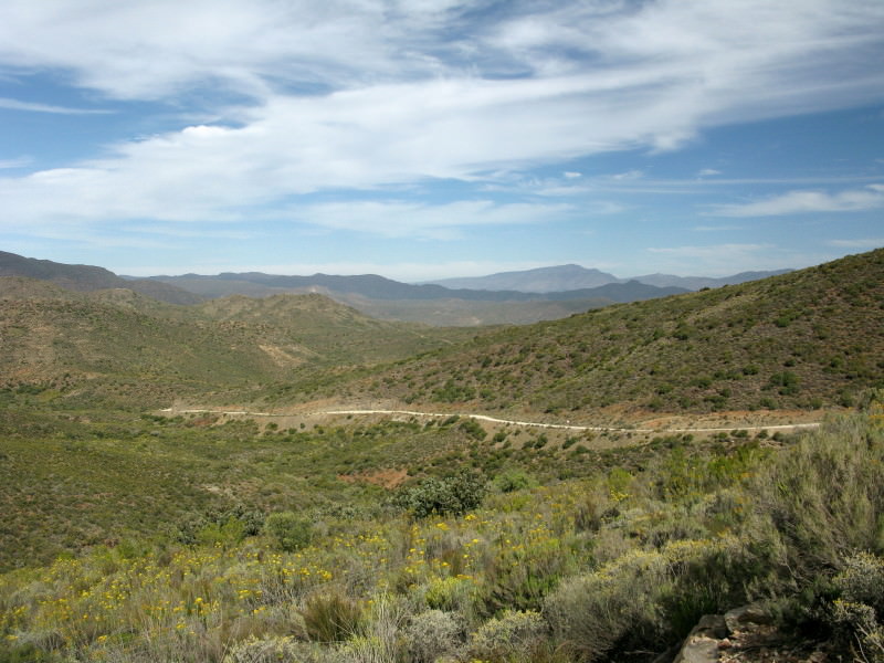
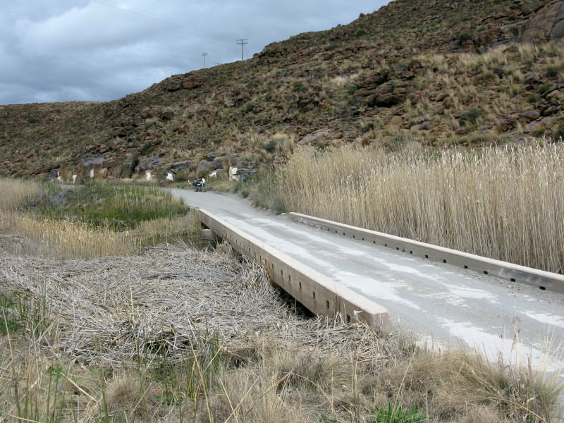
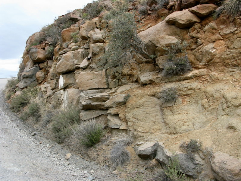
Ouberg Pass between Montague & Ladismith.
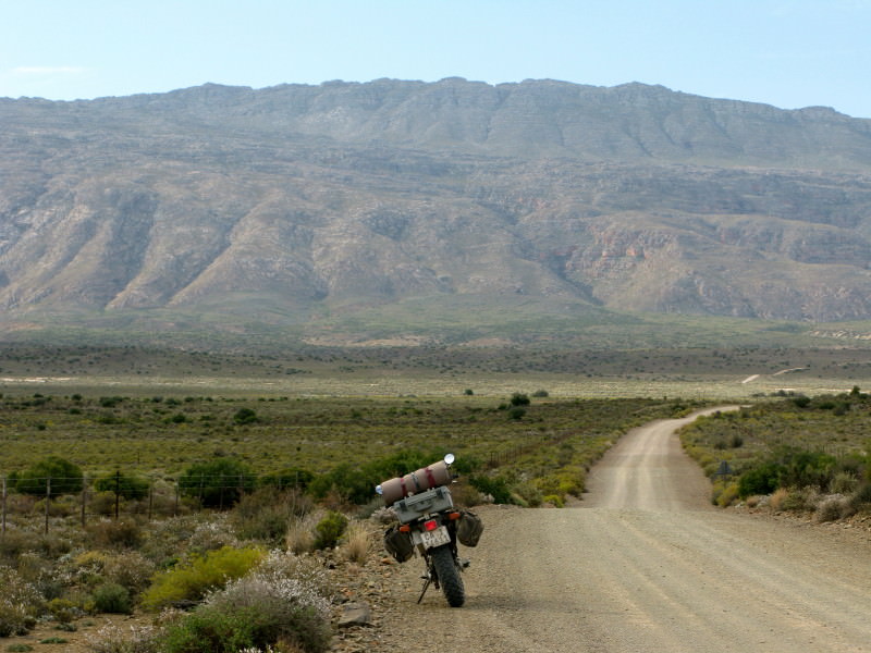
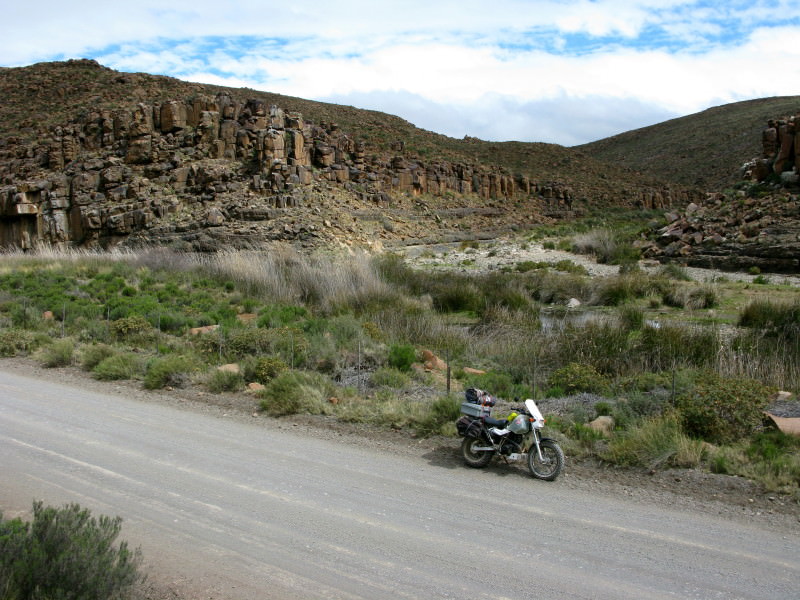
Further down the road. I took a picture just here of my Dakar on my trip to the 2007 WD Bash in Hogg’s Back. I think I am going to extend the side stand.
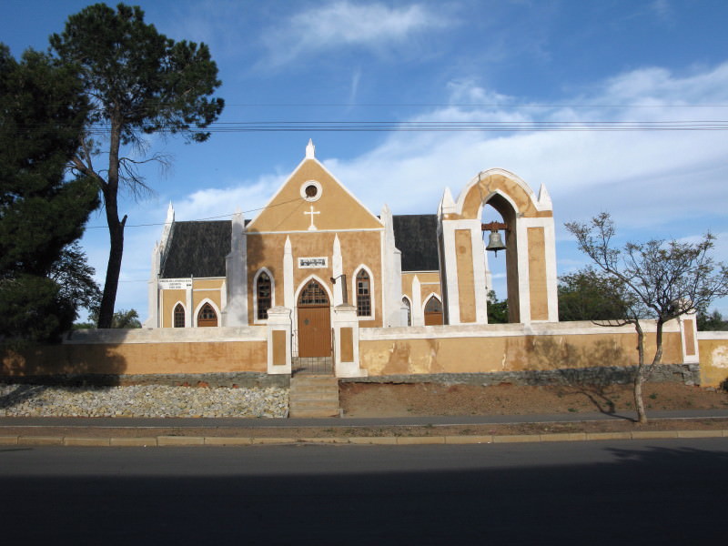
Ladismith, Lutheran Mission church.
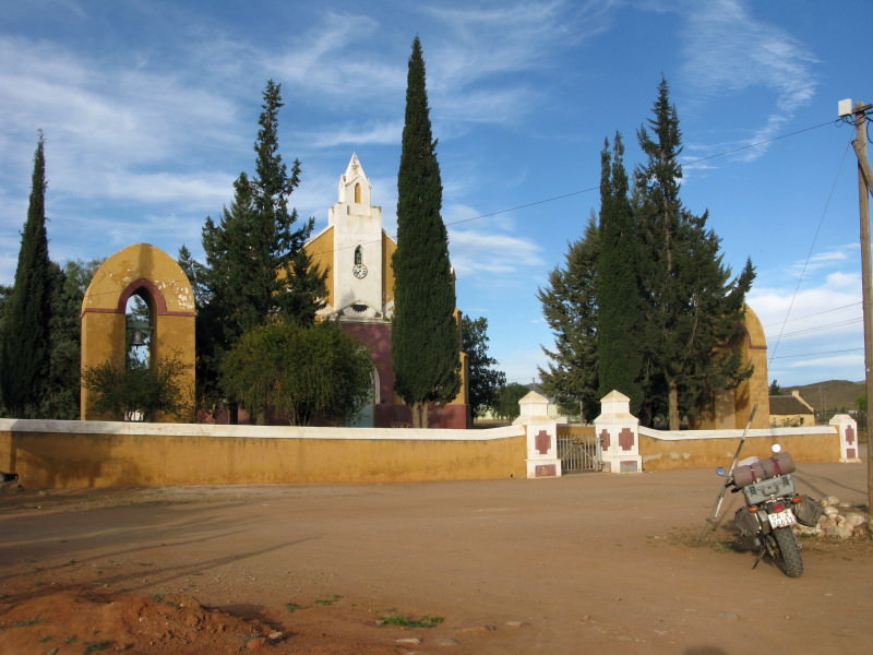
Went to Zoar and Amalienstein. This is the Lutheran Mission church in Amalienstein – with two bell towers.
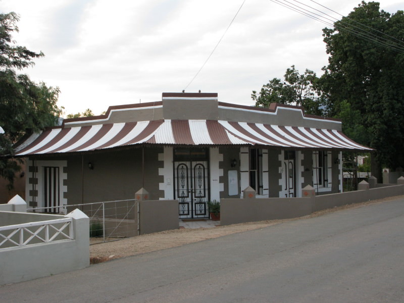
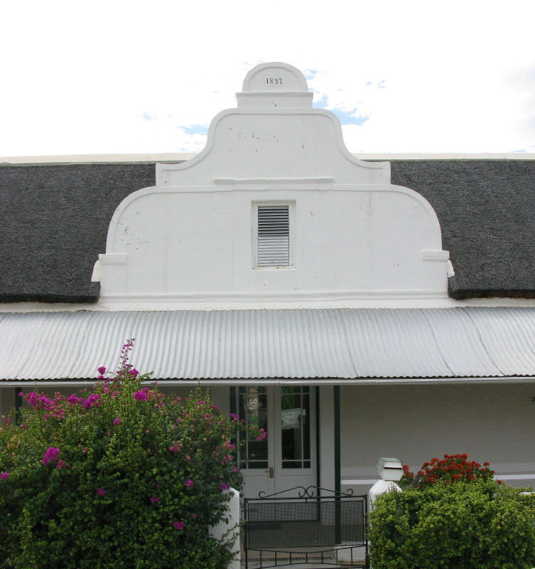
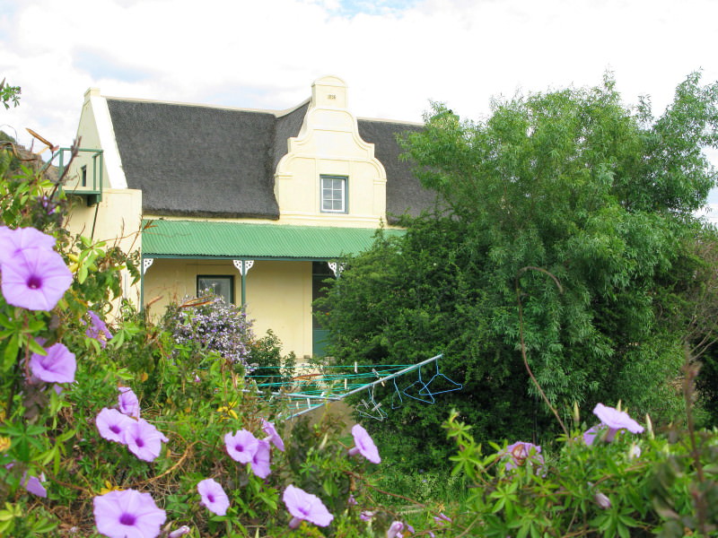
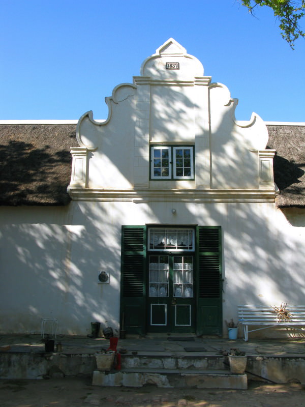
Spent the night in Calitzdorp. I like Calitzdorp as it has not been over restored. I really dislike Franschhoek where all the buildings just scream money.
'----------------------------------------------------
EDIT November 2018 All the pictures had been uploaded to Flikr. I have had to upload them to Imgur & change all the links. Yahoo owns Fickr. They have just changed the rules. You are given 1TB of space & I used about 1% of that. I had 2256 pictures uploaded but all were about 800x600 pixels ready for inclusion in threads like this. Now Flickr is bringing in a new rule - a maximum of 1000 images. So I have had to move these images away from Flickr. Been quite a job. And there is a problem at Imgur - if an image is not viewed in 3 months it gets dumped. Currently this thread averages about 2,5 hits per day. Hence why I wanted to preserve it.
I read a book; The Forgotten Frontier by Nigel Penn. It was about the contest for land between the trekboere and the San (Bushmen) and also the Khoikhoi (Hottentots). The conflict with the Xhosa is well known and documented but this conflict is much less well known. The final refuge of the San was beyond the Sak river. I am interested in the Karoo and decided to ride across it from south to north following the Sak as closely as possible. This is the report on that trip. However I was already booked on an excursion to Prince Albert for the long weekend so I did that first and then went on to the start of the Sak river behind Beaufort West.
Book overview
Traditionally, the Eastern Cape frontier of South Africa has been regarded as the preeminent contact zone between colonists and the Khoi (“Hottentots”) and San (“Bushmen”). But there was an earlier frontier in which the conflict between Dutch colonists and these indigenous herders and hunters was in many ways more decisive in its outcome, more brutal and violent in its manner, and just as significant in its effects on later South African history. This was the frontier north of Cape Town, where Dutch settlers began advancing into the interior. By the end of the eighteenth century, the frontier had reached the Orange (Gariep) River. The indigenous Khoisan people, after initial resistance, had been defeated and absorbed as an underclass into the colonial world or else expelled beyond it, to regions where new creole communities emerged. Nigel Penn is a master storyteller who brings a novelist’s sensitivity to plot and character and a command of the archival record to bear in recovering this epic and forgotten story. Filled with extraordinary personalities and memorable episodes, and set in the often harsh landscape of the Western and Northern Cape, The Forgotten Frontier will appeal both to the general reader and to the student of history.
*Source*

Setting off.
I did quite a bit to the bike.
Single seat so that top box could be mounted low & forwards. I tried all sorts of things, initially a hinged seat with 2 valve springs under it which took out the ‘noise’ of corrugations brilliantly but I did not like the disconnection from the bike (when leaning into a corner the seat was not attached to the bike properly & I did not like that). I had a Freedom Air inflated cushion (similar to AirHawk but better in my opinion) sent from the US which I tried. I made a plastic seat base like the old steel tractor seats & it was comfortable – especially with the Freedom Air but I ended up buying the foam from a Suzuki cruiser style delivery bike and making it wider and flatter. Attached to front is an aluminium bayonet with the yellow Otter box you see. In the Otter box is my camera so I can take photos conveniently & without taking my gloves off. That box is dust & water proof.
Toolbox in front of engine for wheel spanners, tyre levers, foot tyre pump & a spare tube.
Engine bash plate behind it.
16 litre Clarke fuel tank. I chose the natural colour so I can see the fuel level.
Side toolbox on the left where the silencer is on the right. It has my electric compressor & another spare tube.
Chain guide with homemade Loobman style chain oiler.
Martin Praetzold built me a special rear shock from the original and the one from my Dakar. It uses the original progressive spring and housing but with the Dakar rod and internals customised by Martin. The external tank was modified so I now have compression and rebound adjustment (& decent valve shim damping instead of fixed holes) and also remote preload adjustment.
Front forks have custom made cartridge emulators by Martin. I had wanted to fit my Dakar forks but decided against it when i realised I would have less steering trail (wheel further forward) which reduces the steering stability. I have fallen off this bike badly & don’t want to reduce the trail at all. Anybody got forks from Yamaha YX 125 or YZ259? I had a pair from a YZ85 but the axle holes were 12mm & the TW needs 15mm & the bosses were too small to safely enlarge in my judgement. The forks were a terrific improvement.
New mudguard at back so I could fit the top box on. The case is the same one i use on the Dakar. It is a dust & waterproof Storm case.
Throttle rocker. I blessed that simple little thing.
Zumo mount. I needed the music on some of the days.
Sodium coloured glasses as you see in the photo. They don’t make things dark but they cut the glare. I much prefer them to the grey shaded ones i have because these let you see the road surface better than plain glasses.
Extension to the headlight cowl – to put the Zumo in a bit of shade.
Raised handlebars.
I also bought an oil cooler but did not have time to make the changes to fit it.
I have the Dakar still but this bike suits me better as it matches my riding abilities much better. I like the Dakar but I have real affection for the TW.


In the Franschhoek Pass. I have ridden past this several times but got off to take a look this time.
I called in on Ektoknbike for a short chat on my way past his farm as I took the gravel road to Robertson. Then on to Montague.

Ouberg Pass between Montague & Ladismith.

Further down the road. I took a picture just here of my Dakar on my trip to the 2007 WD Bash in Hogg’s Back. I think I am going to extend the side stand.

Ladismith, Lutheran Mission church.

Went to Zoar and Amalienstein. This is the Lutheran Mission church in Amalienstein – with two bell towers.

Spent the night in Calitzdorp. I like Calitzdorp as it has not been over restored. I really dislike Franschhoek where all the buildings just scream money.
'----------------------------------------------------
EDIT November 2018 All the pictures had been uploaded to Flikr. I have had to upload them to Imgur & change all the links. Yahoo owns Fickr. They have just changed the rules. You are given 1TB of space & I used about 1% of that. I had 2256 pictures uploaded but all were about 800x600 pixels ready for inclusion in threads like this. Now Flickr is bringing in a new rule - a maximum of 1000 images. So I have had to move these images away from Flickr. Been quite a job. And there is a problem at Imgur - if an image is not viewed in 3 months it gets dumped. Currently this thread averages about 2,5 hits per day. Hence why I wanted to preserve it.


