A Quick Detox to the Ilha de Moz

This site may earn a commission from merchant affiliate links, including eBay, Amazon, and others.
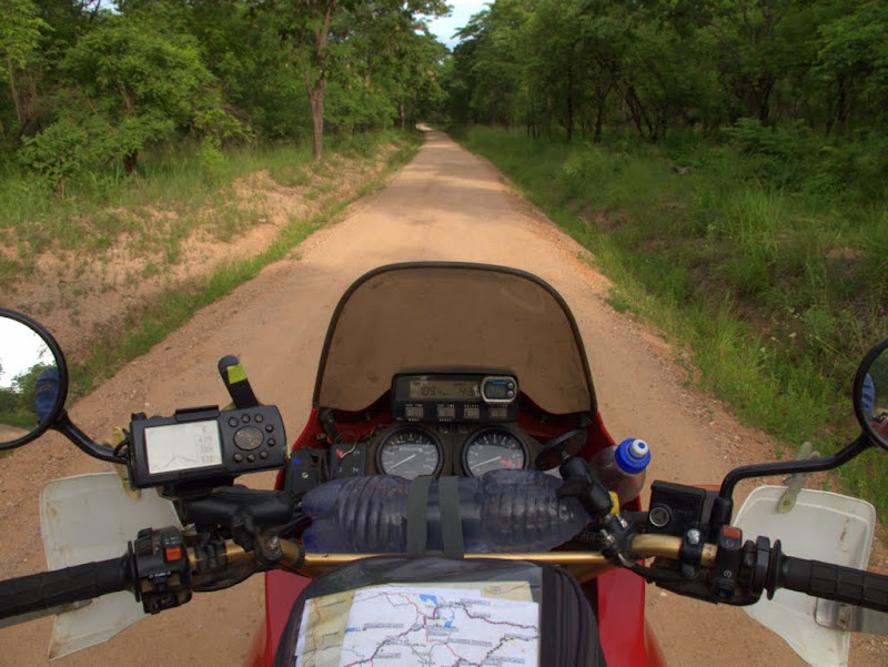
It’s actually a cool night; by sunrise I am packed and ready to go. There is still a long way ahead.

IMG_3693.jpg


The turnoff to the Zimbabwe ruins (the old ones !) is just before the entry to Masvingo. Been there, done that.

OKS_8468.JPG


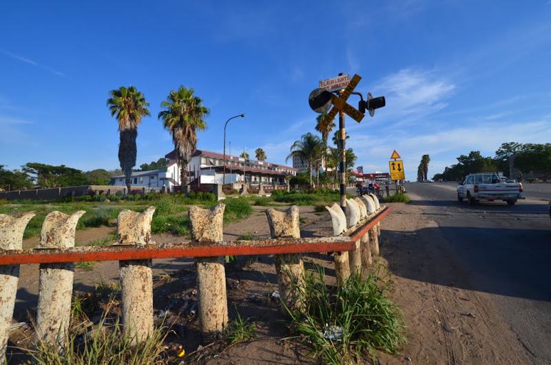
The town itself (Fort Victory of old) is not in great shape. The lights at the disused railway tracks are dead and rusted, the roads are patched, the showrooms are empty. It feels like a 40 year time warp.

OKS_8471.JPG


For those considering a trip this way, there is actually a caravan park at the eastern side of the town, and is does not look too shabby. Even a tar road.

OKS_8474.JPG


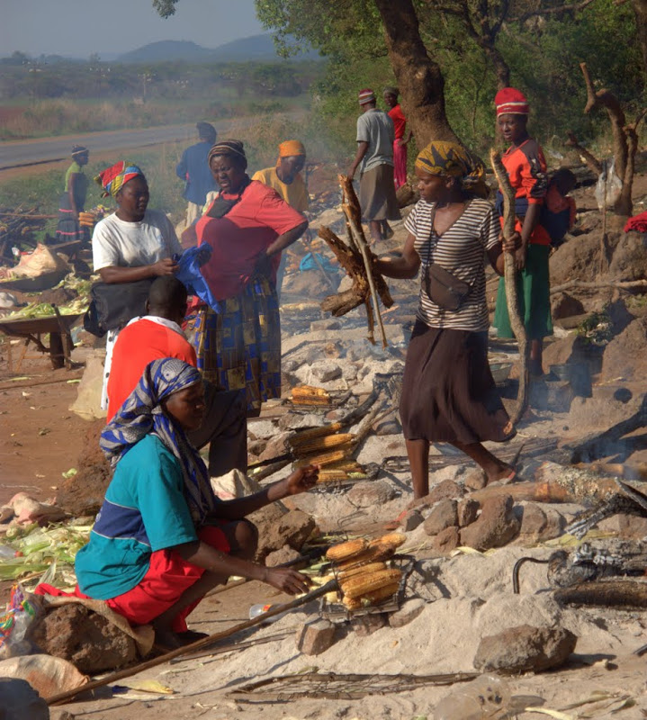
Along the way east, mealies are being used to roast mealies.

IMG_3700.jpg


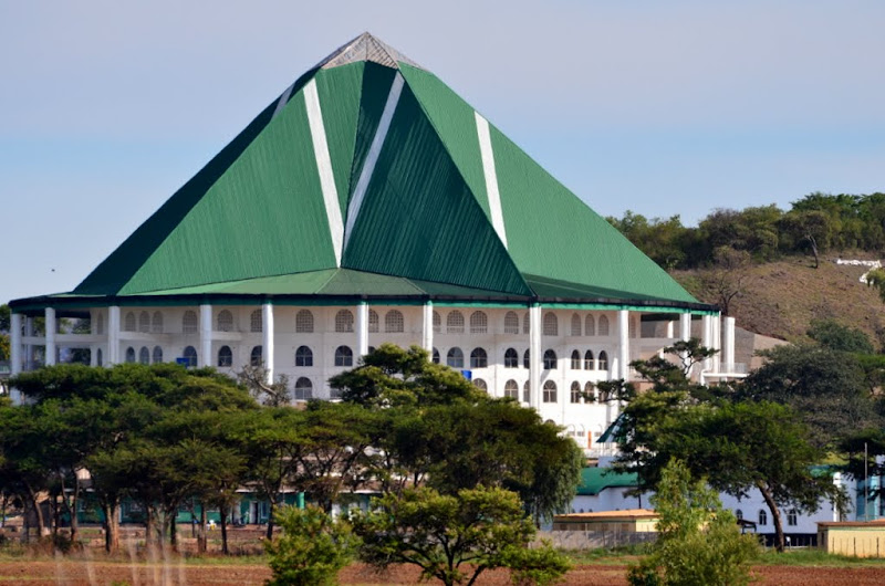
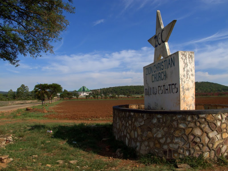
A few kilometres on a huge building at some distance from the road catches my eye. Time to haul out that zoom lens.

OKS_8477.JPG


It turns out to be a Zionist church and it looks pretty new, even if the sign is weatherbeaten.

IMG_3701.jpg


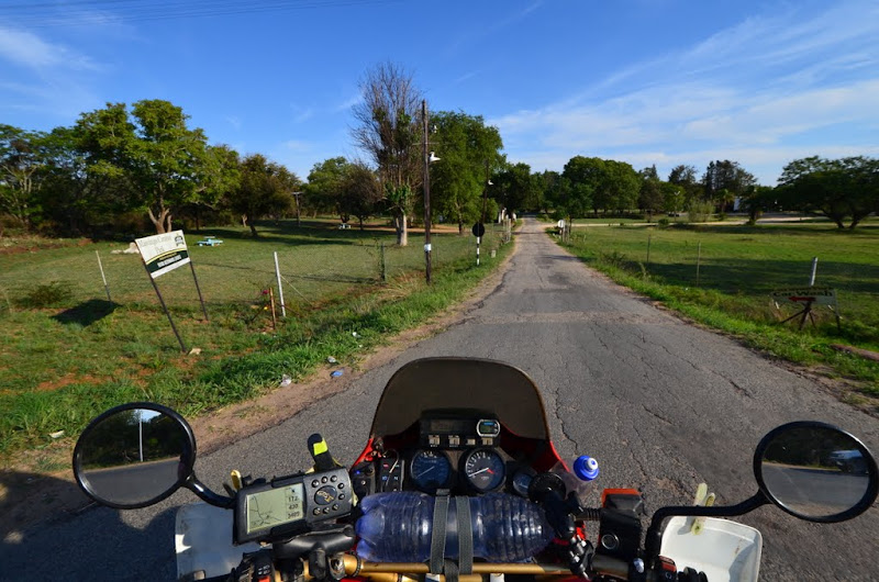
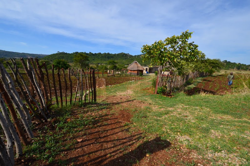
I pull up at “Chief Marozva Bus Stop” to see how the collective farms operate in Zim.

OKS_8479.JPG


I get welcomed by Arnold, who actually has a job in Johannesburg but is home for the holidays. He opens the steel gate to let me in and shows me around. There are 6 neat brick buildings, surrounded by some acres of very fertile-looking land.

OKS_8482.JPG


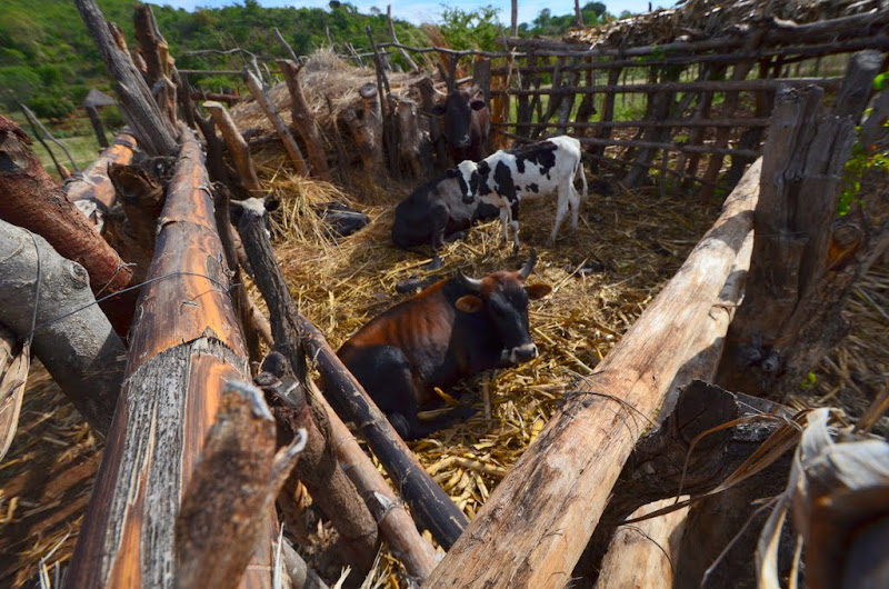
Everything is fenced off, the cattle is penned up to keep them off the fields.

OKS_8488.JPG


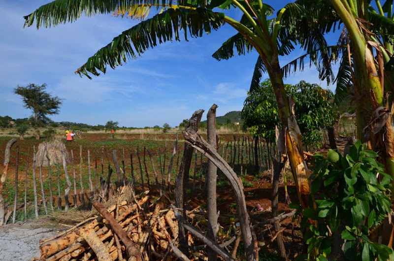
There’s quite a lot of planting and growing going on, but it’s all manual labour. Fortunately, there’s plenty of that around. A bit further, rocky outcrops dominate the horizon.

[flash=480,385]https://www.youtube.com/v/2gX_9qhkAFo[/flash]

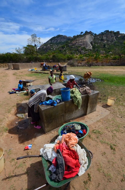
Elsewhere, it’s laundry day at one of the boreholes with manual pumps that are scattered around the country.

OKS_8496.JPG


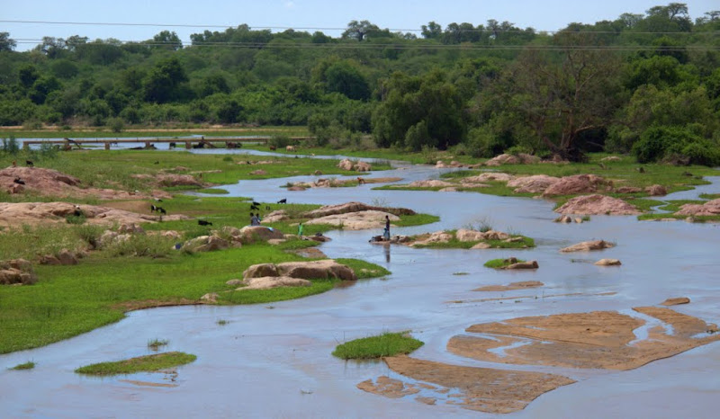
While those living closer to the river use the river. This is a tributary of the Save, just before Birchenough. Water levels  are still low- the rainy season has not started yet.

IMG_3723.jpg


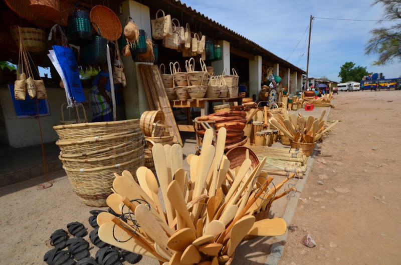
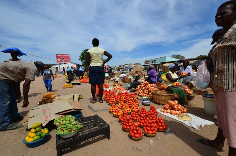
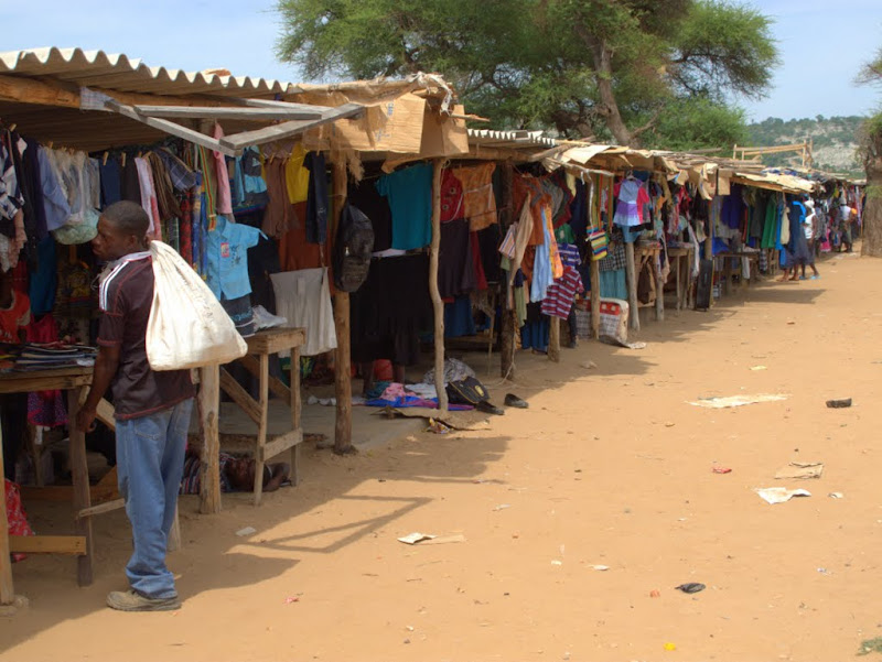
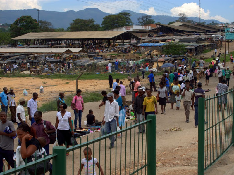
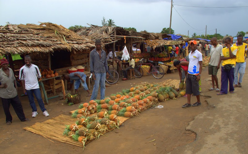
There’s a popular market just before the bridge across the Save river itself. Fortunately, there’s fuel too as I can’t make it
to the next border with my petrol from Musina.

OKS_8500.JPG


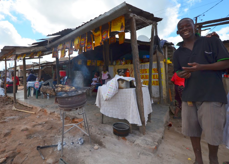
Lots of people, lots of colour. Africa up close.

OKS_8503.JPG


Across the road clothes from Mozambique are sold, but they are made in China.

IMG_3726.jpg


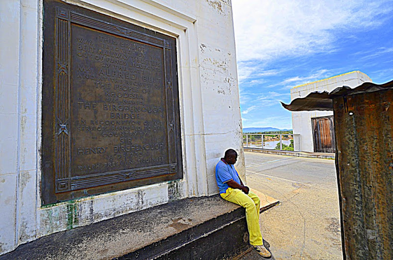
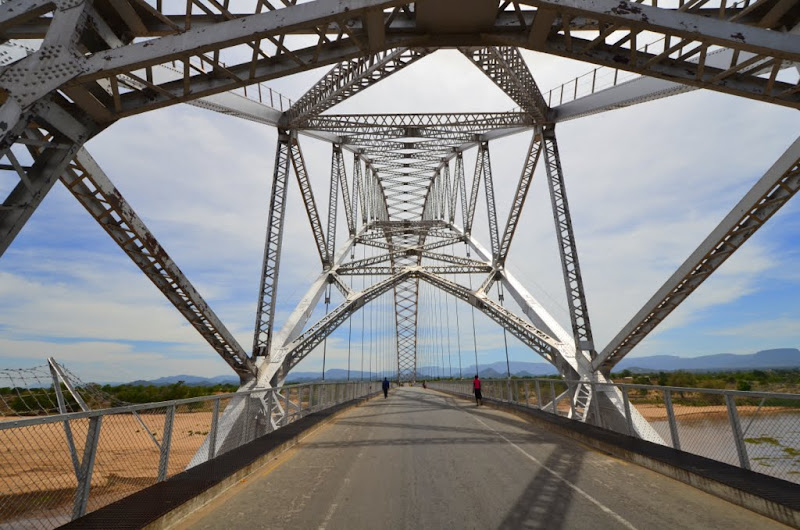
A little further, there is a toll for cars wanting to cross the bridge after which the village was named. The collector is resting in the shade.

OKS_8508.JPG


I have crossed the Save river in Mocambique (by boat) but this is much more civilised, not to mention quicker. Bikes and
pedestrians may use the bridge for free, but most of the traffic is on foot.

OKS_8511.JPG


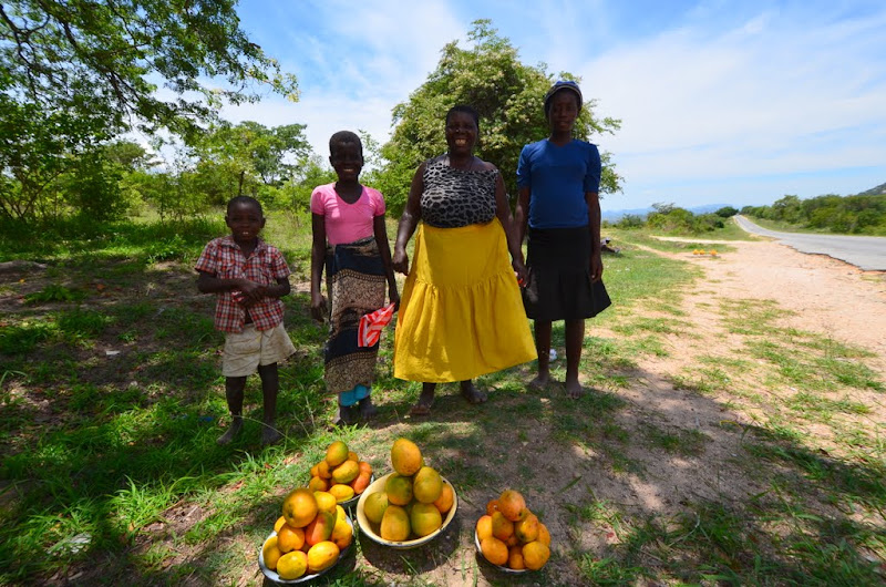
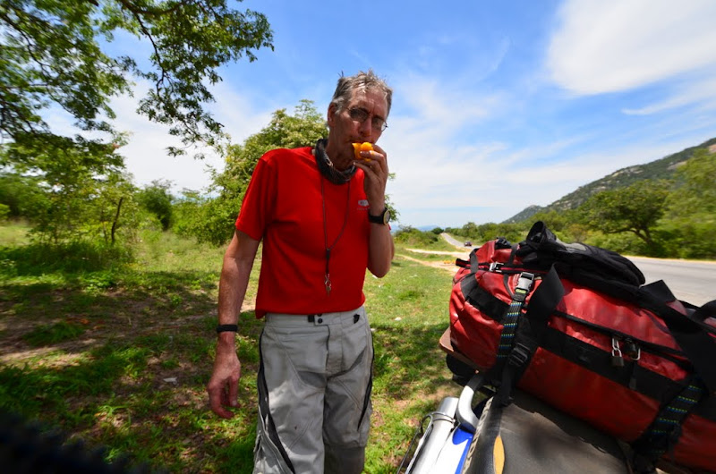
Mangoes seem to fall in your lap around these parts. I buy a few for breakfast from these friendly vendors along the road. It’s a family business.

OKS_8521.JPG


They’re best enjoyed in the shade. You need water to rinse off the sticky juice and a toothpick for the fibres.
OKS_8522.JPG


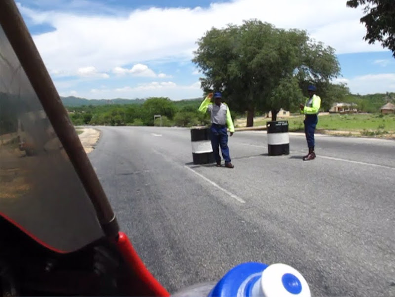
I encountered numerous police road blocks in Zimbabwe. Most of the time I got waved through, but a few of the cops wanted to see my drivers licence or vehicle papers. It looks like some form of job creation.

New%2520Picture.jpg


Mutare (Umtali) has all the hustle and bustle of a frontier town. Quite a bit of trade, not much industry to be seen.

IMG_3747.jpg


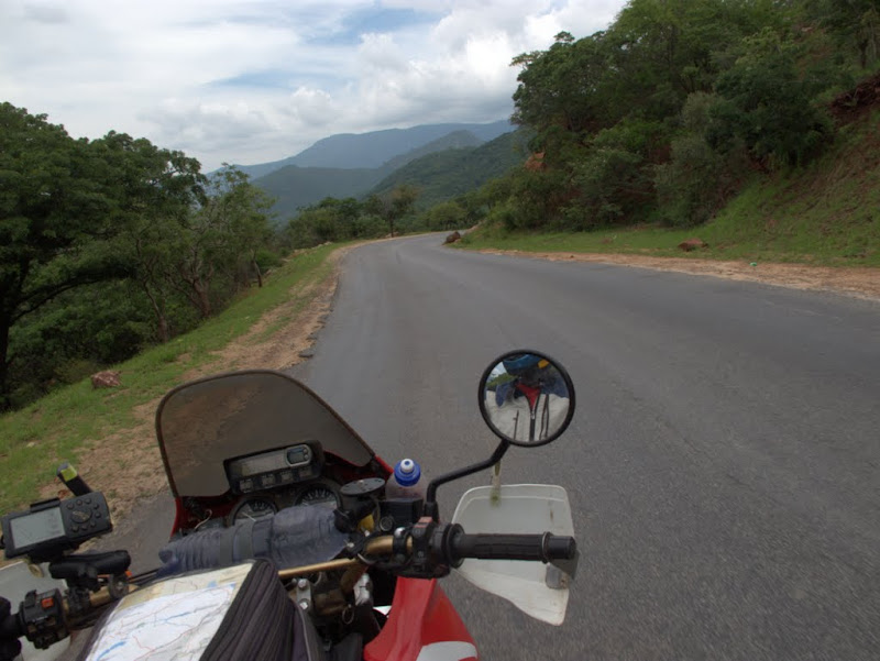
The road to the border winds through the Bvumba mountains…

IMG_3748.jpg


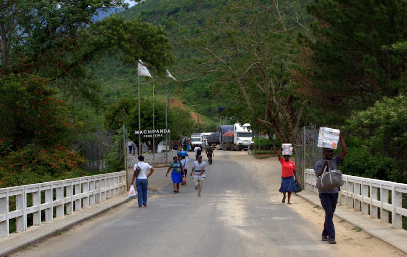
…to Machipanda. I pass the trucks lining up to cross into Mozambique and go in to do the paperwork.

IMG_3750.jpg
 
Very nice! Sal graag self so trip wil doen, dink net nie klr se seat is vir sulke lang trips gemaak nie.  Tans is Langebaan vir my 'n ver trip :imaposer:
 
Dammit, I was so hoping to tour Namib. Now you are putting doubt in my mind!!!
 
ok you got me interested! my wife lived for a while in just outside Mutare - And I have always wanted to go see Islha de margeruc since buddies went spearfishing there in the mid 90s. I'd love to follow in your tracks. nice easy writing style you have also you seem to take potos from interesting angles
 
Within half an hour it’s all done and I have a new TIP for Mozambique which only cost me 25 Meticais (but they don’t give change!). 3rd party insurance is also necessary in Mozambique, but I got that at Outdoor Warehouse before I left (R80). So for about ¼ of the cost to grace Zimbabwe’s roads I may expand my carbon footprint here … 

Of course the money-changers are quick to pounce. Although the official exchange rate is 3.4 Meticais to 1 Rand, they make 3.0 sound normal, 3.1 generous and 3.2 like taking the food from their mouth. I settle for the latter rate  >:D and move on.

OKS_8523.JPG


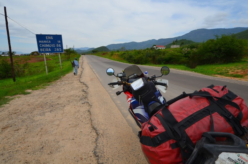
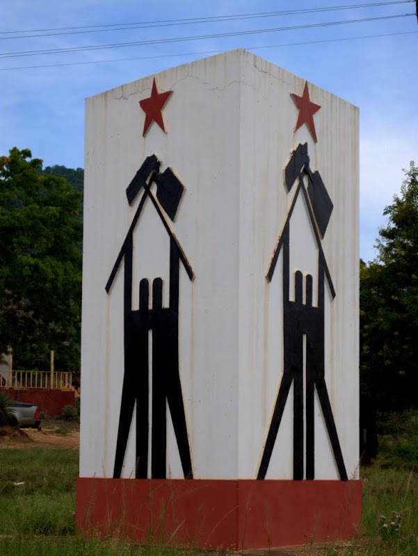
In Manica I buy some fuel, but surprisingly it is even more expensive than in Zimbabwe. In the town square is the obligatory monument to the freedom struggle that every Mozambican town seems to have.

IMG_3752.jpg


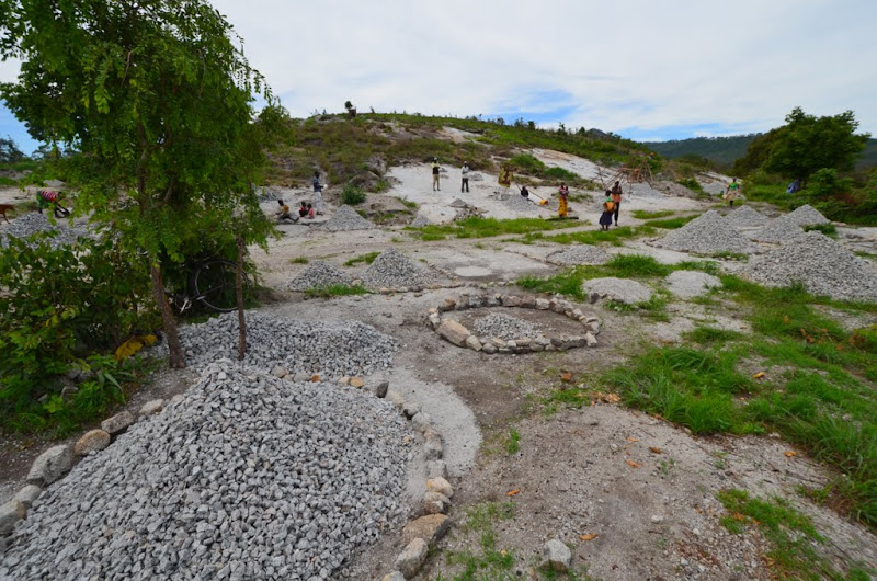
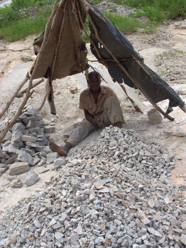
Just outside of town I pass a quarry. I was amazed when I saw these operations in Malawi some years ago.

OKS_8526.JPG


This time, I pull over to get a closer look. How can a person spend days on end making smaller stones out of large ones? Unfortunately, the language barrier precludes an answer.

IMG_3755.jpg


Past Chicamba lake the road winds into Chimoio, which can probably be called the start of the Timber Belt.

IMG_3760.jpg


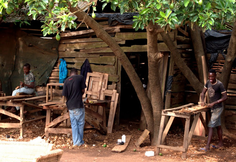
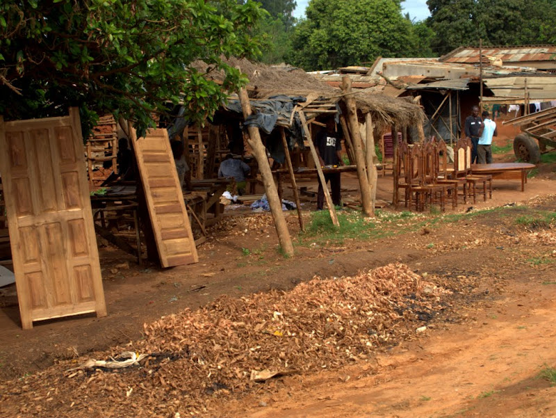
Lots of open air carpentry shops line the road and the finished products can be bought on the spot: window frames, doors, beds, chairs…you name it.

IMG_3761.jpg


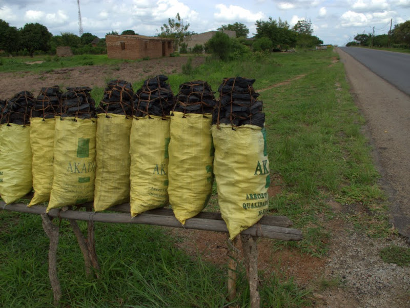
The smaller trees and branches seems to get converted into charcoal. It’s on sale everywhere in Mozambique, although I have seen few people buy any of the countless bags on offer.

IMG_3759.jpg


At Inchope there are no ATMs to be seen (where you can get the best exchange rate) but I do get 3300 Meticais for my next R1000 at a garage without fuss. There’s still a lot of fuel to be bought and I don’t expect that camping will be possible on the Ilha.

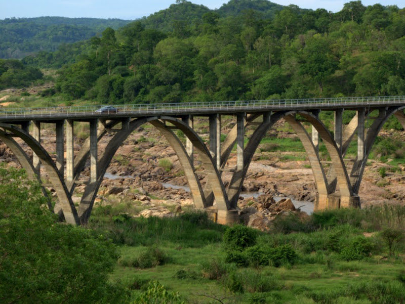
The road drops to a few hundred feet above sea level as another impressive bridge comes into view near Gorongosa. This one crosses the Pungoe river, which flows to Beira. When it flows.

IMG_3767.jpg


A narrow gravel road leads to the Gorongosa Park, but there’s no time to explore. Serious efforts are underway to re-establish the game that was decimated during the civil war.

IMG_3769.jpg


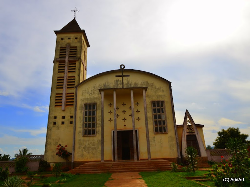
Just before sunset I pass a beautiful but forlorn church.

OKS_8529.JPG


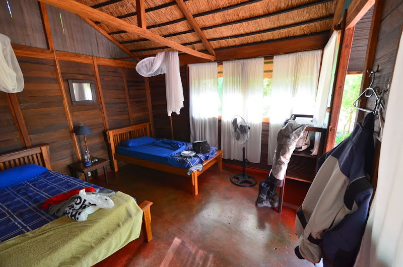
From here the road deteriorates markedly and it’s plenty dark by the time I check into James White’s camp (actually called M’phingwe Eco Lodge).     

For 600 Meticais, this is good value. The food is hot and the beer is cold. I sleep very well indeed.

OKS_8543.JPG
 
NiteOwl said:
For 600 Meticais, this is good value. The food is hot and the beer is cold. I sleep very well indeed.

And I enjoy the trip as a pillion  :thumleft:
 
Really enjoying this...
Rode some of the same roads in 2009/2010...
looking forward to the next installment
:thumleft:
 
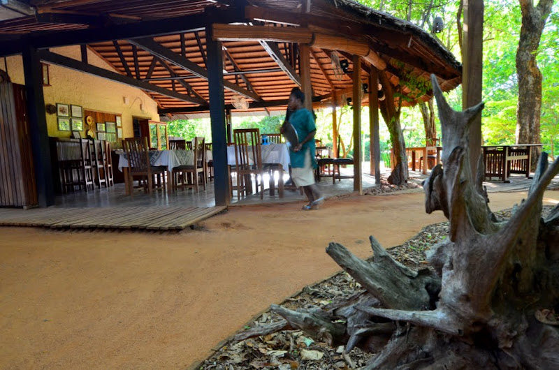
The dining area (and most of the kitchen) at James White’s is open-plan.

OKS_8538.JPG


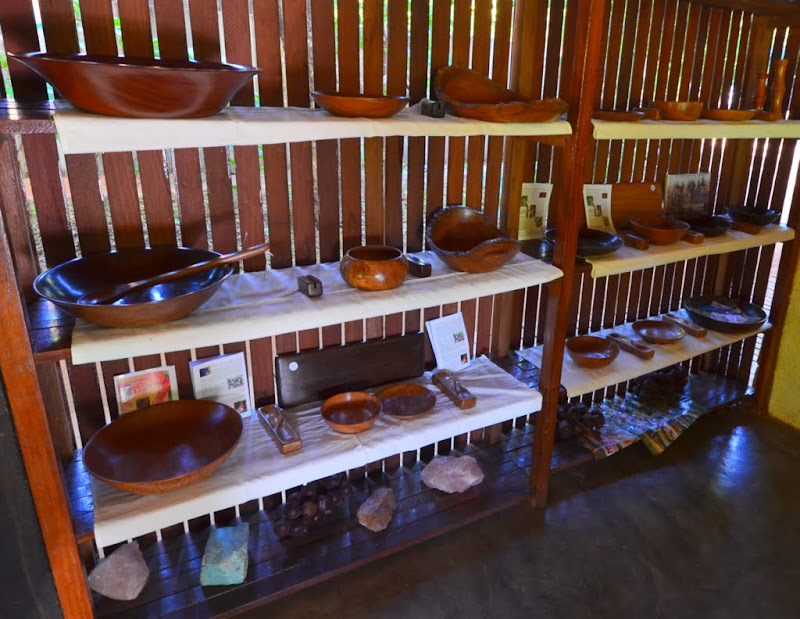
Some of the local product for sale: panga panga, chamfuti, blackwood. Solid stuff, nice Christmas presents, but I only have space for one bowl.

OKS_8539.JPG


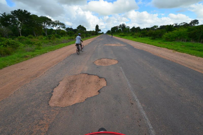
After breakfast, it’s on to Caia for refuelling. I’m soaked in sweat by the time I’m packed- at 8 o’clock it’s 35°C! As promised by James White, there are some more potholes, but they are mere vulletjies compared to the craters on yesterday’s section after Gorongosa. 

OKS_8546.JPG


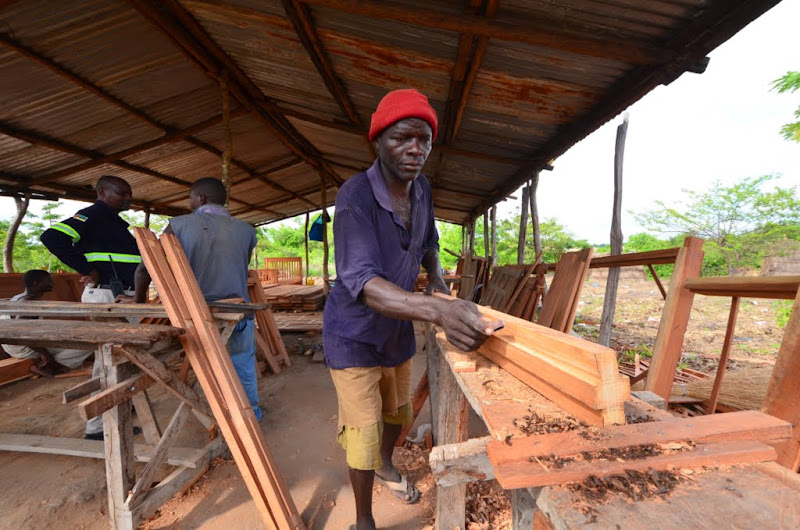
This is a serious logging area, and plenty of locals seem to have mastered some form of carpentry skills which they apply to the manufacture of window frames, doors and pieces of furniture.

OKS_8552.JPG


Here’s how that wood gets transported:

IMG_3797.jpg


It’s a bit early for frangos, but they are on offer at the roadside stalls.

OKS_8556.JPG


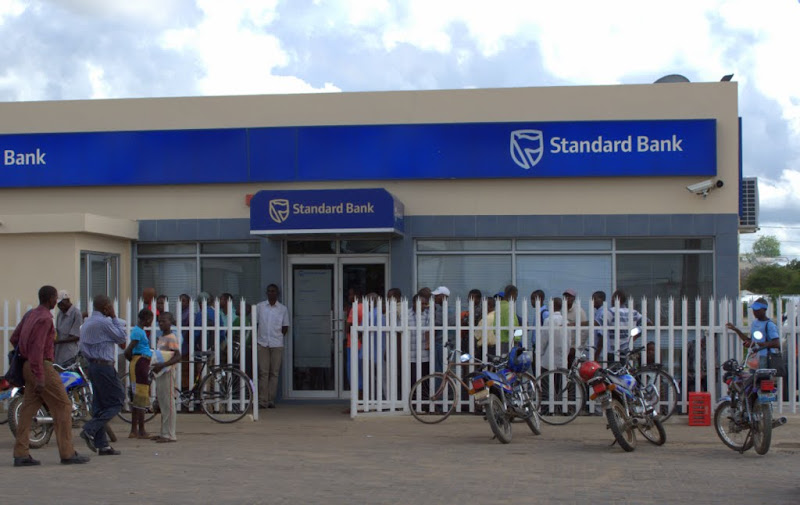
Opposite the filling station in Caia there’s even an ATM. It's popular.
 
IMG_3778.jpg


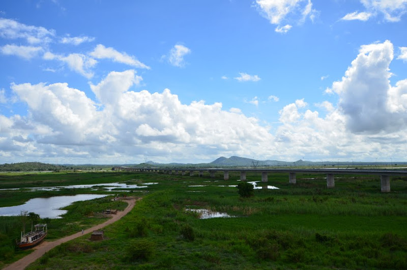
I had expected a ferry at the Zambesi crossing, but instead find this:

OKS_8561.JPG


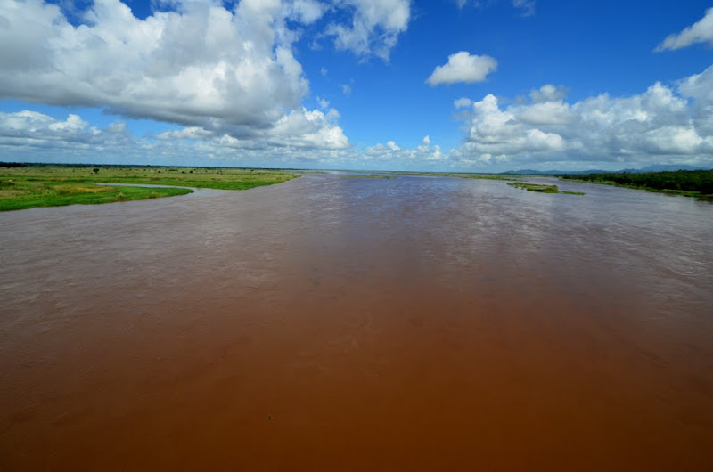
It’s a brand new construction erected in 2009, and it covers this part of the Zambesi with a 2.3km span. Most of the way has been pretty dry so far, and the water level looks low initially.

OKS_8563.JPG


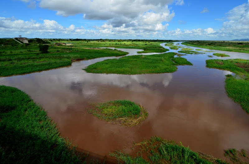
But towards the northern end, the real Zambesi flows by thick and fast.

OKS_8567.JPG


The road is new and the traffic is light, so progress to Nicoadala is swift. It’s a good place to find something to eat.

IMG_3798.jpg


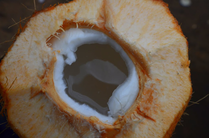
There are plenty of food stalls as I roll into the town and almost miss this street artist. Just watch the skill as he opens that coconut!

[flash=480,385]https://www.youtube.com/v/yk60ImaMf_I[/flash]

The juice is refreshing, although the flesh is rather thin and disappointing.

OKS_8576.JPG


Further on, fresh paos:

OKS_8578.JPG


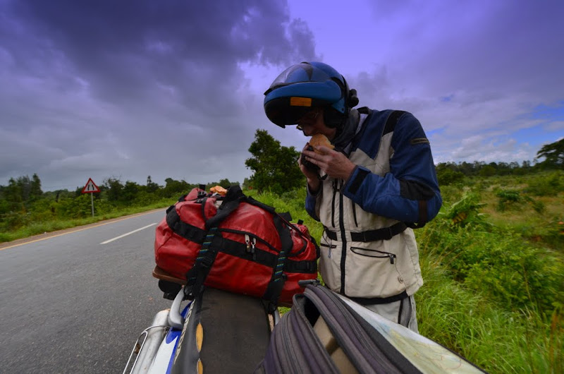
Outside town the clouds are gathering. Time for a quick bite before getting soaked.

OKS_8579.JPG


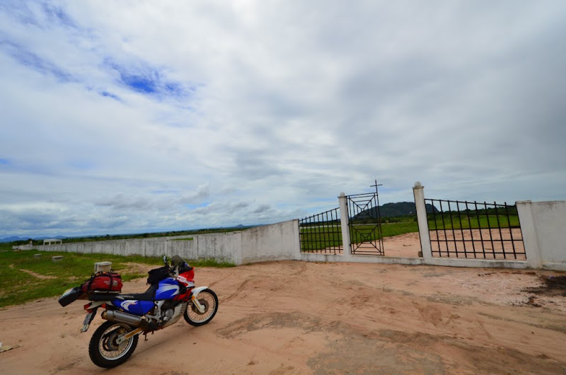
I pass a large walled expanse just before the next town. It turns out to be a cemetry, and really well-kept.

OKS_8583.JPG


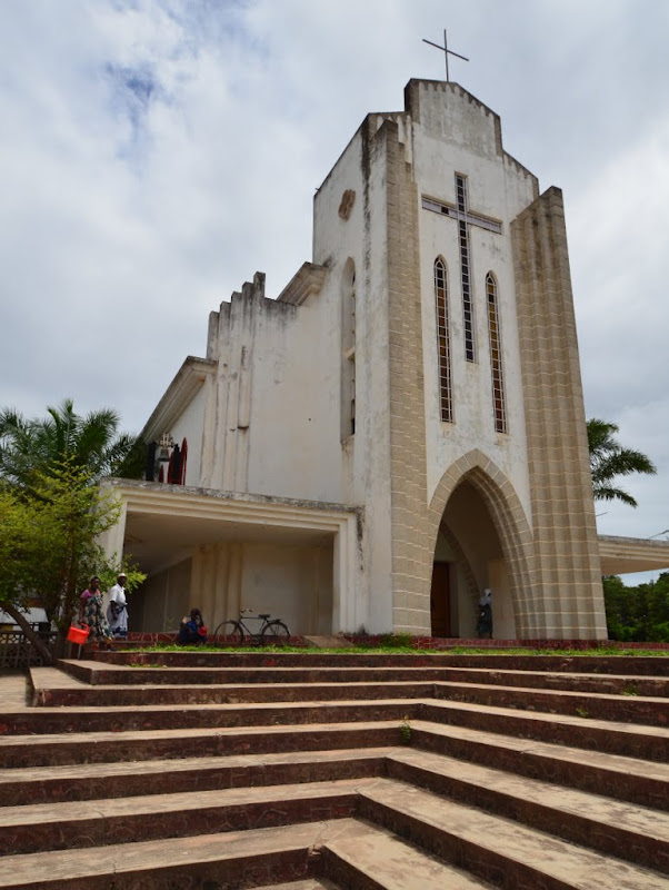
At Mocuba another grand church graces the main road.

OKS_8585.JPG


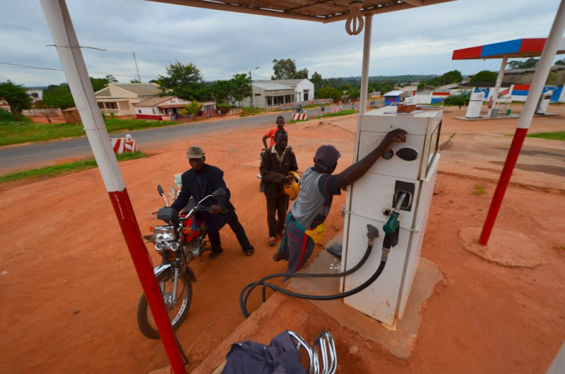
A last fill up at Alto Molocue should see me through to Nampula.

OKS_8587.JPG


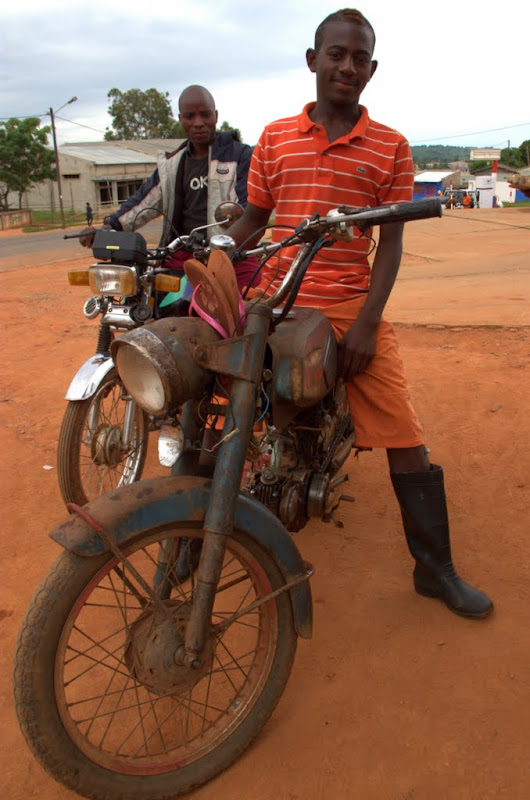
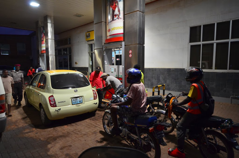
Check out the wheels of some of the other customers: engine casings are optional. As are helmets.

IMG_3810.jpg


Villages dot the road and the huts are built right up to the edge. Most of the inhabitants sit on the road to socialise and blindly rush up to sell foodstuffs to passengers in every vehicle that stops en route. There is good reason for those 60 km/h speed limits.

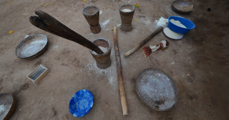
Life out here is really just about survival. Few Mozambicans are fat, few have cell-phones, mechanisation is mostly absent. Flour is also made by hand but the women scamper off when I pull off to have a look.

OKS_8588.JPG


There are virtually no schools in evidence along the way, but every woman of child-bearing age seems to be doing just that.  Apposite symbolism?

OKS_8590.JPG


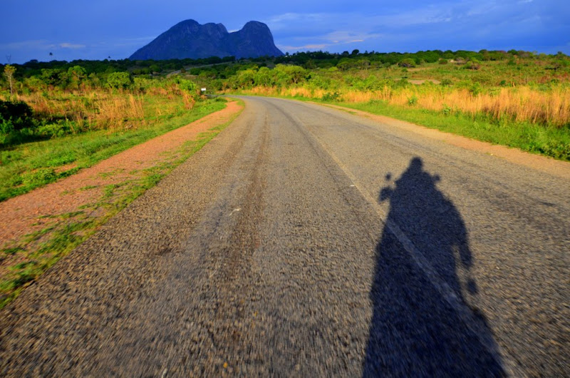
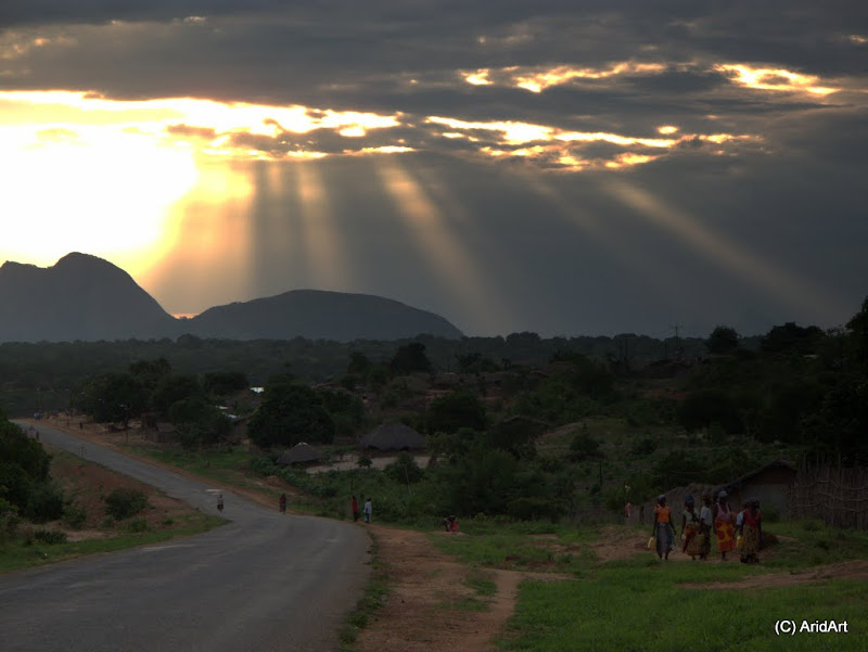
My shadow stretches before me as I approach Nampula.

OKS_8592.JPG


All those clouds overhead are still pregnant with rain, but I don’t register this important fact.

IMG_3819.jpg


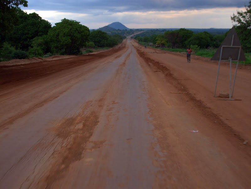
The last 10 km is gravel- the new tar road is not quite finished yet, but I’m grateful that this is dry.

IMG_3823.jpg


Nampula is a large town and the main road runs through the centre. I pull up to refuel amongst the local biking community. Just in time, as it turns out.

OKS_8596.JPG


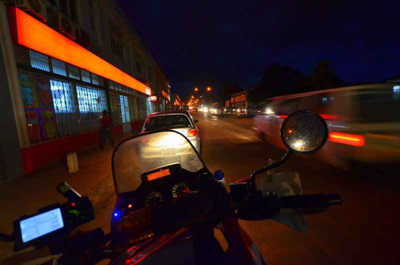
And rejoin the mayhem down the main drag.

OKS_8597.JPG


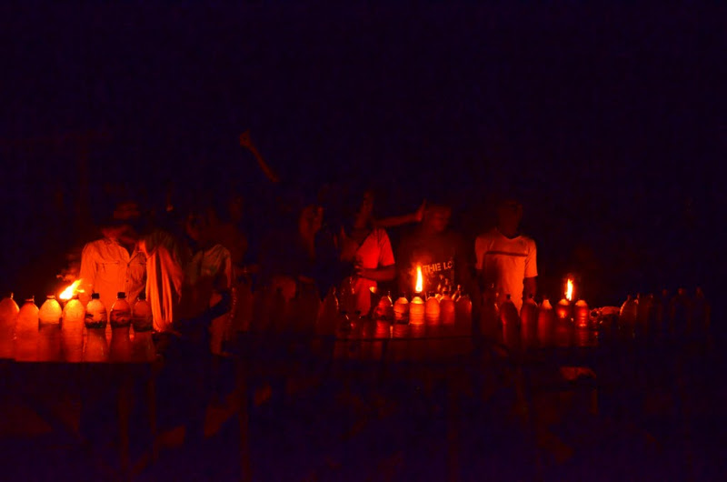
Halfway through, the power goes down and everything goes dark. No problem for these guys selling bottled fuel on the outskirts of the town!

OKS_8599.JPG


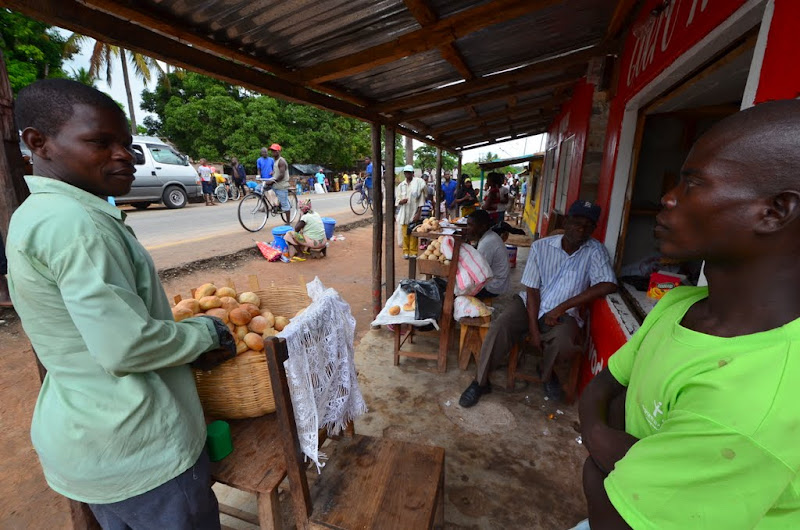
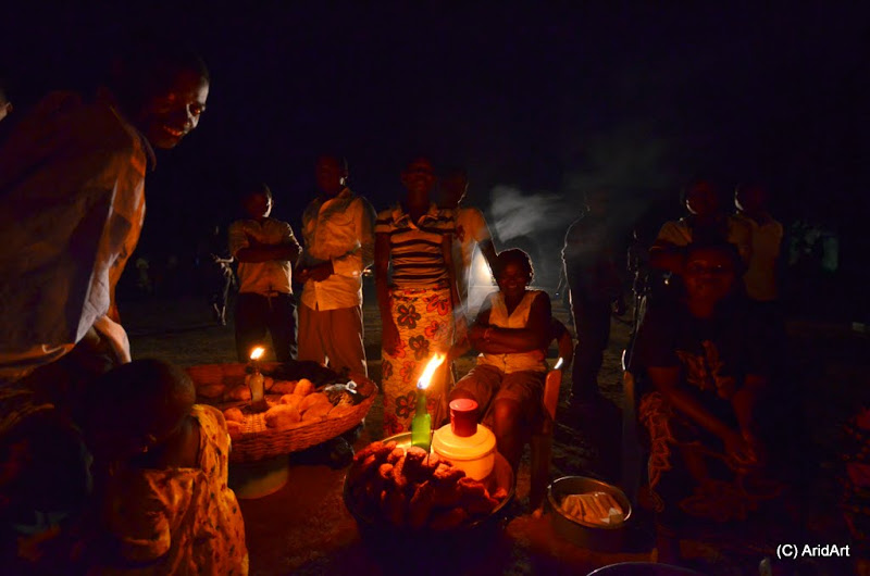
The bread on the opposite side looks like a much safer shop.

OKS_8602.JPG


Just outside Nampula, it starts spitting more rain. Hoping that it will be another brief shower, I carry on. But it gets wetter and wetter to the point where visibility forces me to slow right down to 40 km/h in places. It only lets up on the last few kilometres to the Island. Truly a sight for sore eyes.

OKS_8604.JPG


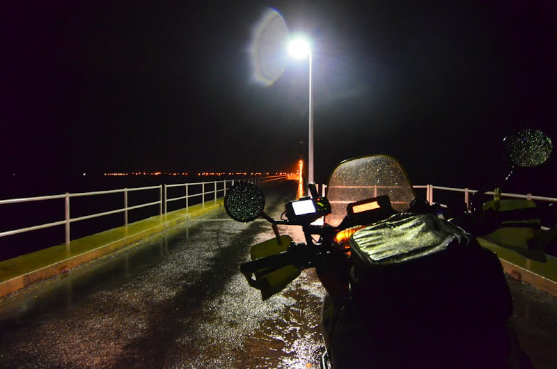
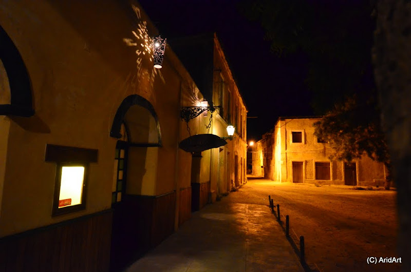
It’s after 10 PM, so I don’t hold out much hope to find a bed for the night, but ride across the bridge connecting the Isla to the mainland. The atmosphere is a lot like Zanzibar and plenty of people are still out and about on the streets. It thins out towards the tip of the island.

OKS_8605.JPG


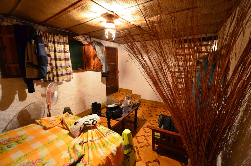
Near the northern end some street kids lead me down a couple of alleys. After a couple of full houses, I settle into a no-frills room for 800 Meticais and hang up my dripping kit.
OKS_8607.JPG

 
Jis like loving this rr. Dont feel like doing any work this afternoon my kop is in a dwaal
 
Top