You are using an out of date browser. It may not display this or other websites correctly.
You should upgrade or use an alternative browser.
You should upgrade or use an alternative browser.
Africa - Photoreport (Prague to Cape Town)
- Thread starter Xpat
- Start date
This site may earn a commission from merchant affiliate
links, including eBay, Amazon, and others.
Tanzania
Tanzania, together with Kenya, is the main tourist attraction of Eastern Africa, its highlights including Serengeti – the most famous national park in Africa, Kilimanjaro – the highest mountain in Africa and the highest freestanding mountain in the world, and exotic Zanzibar. It had pretty standard Africa history: Being colonized first by Germans during the scramble for Africa in the late 19th century, it was taken over by British after German defeat in WWI and finally became independent in the early 60’s. Ruled by the lefty intellectual Nyerere it followed one of those hefty nice sounding ideas of socialism, third way or some such, which brought it to the verge of starvation and made it dependent on the foreign aid. It has returned to multiparty democracy some time ago and after decades of social experiments it started slowly inching forward like the rest of sub-saharan Africa.
My impressions of Tanzania are pretty bland - which in comparison with Rwanda or DRC is not necessarily a bad thing. There are some wonderful things to see and experience, but it seemed to miss the lively energetic vibes of Uganda, Ethiopia or even Kenya. It was probably just the route I took, but the country felt a bit like a african theme tourist park, rather than a place with its own strong character.
Regarding the route - I was a bit torn. On one hand I was quite keen to explore the less travelled areas of western Tanzania along the coast of Lake Tanganyika - the name of which itself for me is a synonym for mystery and adventure. On the other hand, I wanted to climb Kilimanjaro and explore the areas around Ngorongoro, which both sit at the opposite corner of the country north east along the border with Kenya. After a bit of deliberation I have decided to head east and maybe head back to Tanganyika later.
My route through Tanzania:
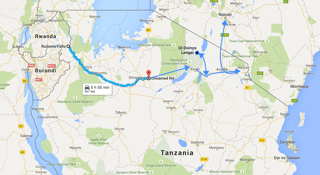
I’ve crossed to Tanzania via the Rusumo Falls border post and made it in two days tar to Shinyanga about half way through to Kilimanjaro. Most of the route was good tar with minimum traffic under the broadest sky I’ve ever seen (I promise you much broader even than the Makgadikgadi pans in Botswana - no idea why), last about 100 km was good gravel. I’ve made it to Shinyanga without a glitch - no dodging of automatic fire, I’m glad to report.
Once settled in a guesthouse In Shinyanga, I’ve run into a problem though. The shortest way to get to Ngorongoro crater - the first objective, was on what looked like a main dirt road crossing from west to east Serengeti NP. Now I knew that normally they wouldn’t let me through NP on a bike, but in Uganda they did and as this was a main thoroughfare from Lake Victoria to Ngorongoro and Kilimanjaro about 400 km east, they may let me go as long as I stay on the main road (as they do for example in Chobe NP in Botswana). But the tourist information centre in town told me there is no way they will let me in. The only alternative was a long boring way around on tar south to Singida then up north to Karatu and from there back west to Ngorongoro. I wasn’t thrilled.
But then looking at the Michelin map (if you need one map to cross Africa, this is the one - or the three of them covering whole africa) I’ve seen there was indicated trek going almost in a straight line from Shinyanga to Ngorongoro running on the southern boundary of Serengeti and north of lake Eyasi. First half it run along Serengeti, the second half run through something called Ngorongoro Conservation Area. Well, if it doesn’t have national park in the name, surely I’m allowed in, right?
With that settled I prepared for departure next day, and went to do a bit web browsing to the local Telkom office with the local youngster named Deo, who was brother of my hotel’s manager. He was quite helpful so I paid for an hour of internet for him and logged into my website so that he can browse through the pictures of my trip. When I checked on him after the hour expired, he was still on the same page I left him on - only with some message window with OK/cancel on it. The poor soul didn’t have a clue how Windows or mouse work. Now, if he has been a Masai herds boy I could understand, but Deo was university graduate and lived in a hotel where he had access to a computer in reception. This experience left me wondering about prospects of this African country.
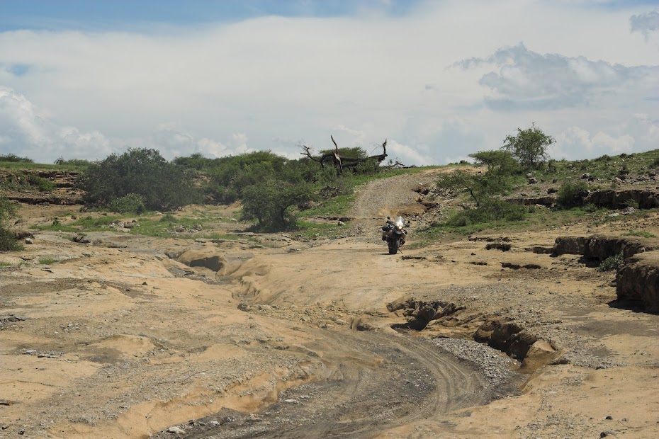
Next day I packed up and set-off on the gravel roads east. After about 70 km I reached the south-western corner of Serengeti and continued along the boundary on rocky double track winding in and out of bush. There was no traffic whatsoever and I felt a bit apprehensive as I half expected a lion leaping out of the bush for a bit of petting. I haven’t encountered any game worth mentioning though. My speed was quite low - there were few quite technical rocky sections, creek crossings and such, which sapped my energy quite a lot.
I have eventually arrived in the afternoon to the western gate of the Ngorongoro Conservation Area and as I expected will be the case despite my NP theory, was told by the Masai rangers, that it’s no go on the bike. They were friendly though and interested in the bike as there are probably none coming this way. Sensing the potential opening and not keen to backtrack just to ride almost full circle on hundreds of kms of boring tar, I just kept straight face and lied. I told them that I do not have enough petrol to go back and am scared of the track I just came on as it’s too tough. Being nice hosts they were, the commander called his boss at the park headquarters on the top of the Ngorongoro crater about 70 km east, who eventually granted permission for me to cross next day. The commander even invited me to stay the night with him in his room, which I gladly accepted not keen to camp in the prime animal area.
Karma caught up with me immediately next morning. I packed up early and set-off for the 70 km ride to the Ngorongoro crater. Those 70 km took me better part of 8 hours to ride. The double track was running across those trademark african plains with thousand and thousands of wildebeest, zebra and buffalo around.
That on its own proved to be a challenge, as I worried that there must be swarms of predators following along, so I was constantly scanning the plains for a sign of lion or hyena. To my dismay I fully realized how scared I am of the animals. I had glimpses of that fear before when encountering bulls parked square in the middle of the road and completely ignoring my attempts to pass. I would try different tactics from blowing the horn, revving the engine to making a snake eyes a la Clint Eastwood and snarling something threatening - and nothing. Invariably, this impasse will end with a 10 kg child jumping out of the bush screaming at the 1 ton bull which at that point will be running in blind panic away for dear life. Done with the bull the kid would turn to me - staring mesmerized by the whole scene - and scream “Give me money/candy/pen!”. At which point I would snap out of my daydreaming, kick in the gear and ride away in the cloud of dust and panic, with rear wheel spinning. The police should use these for the crowd control.
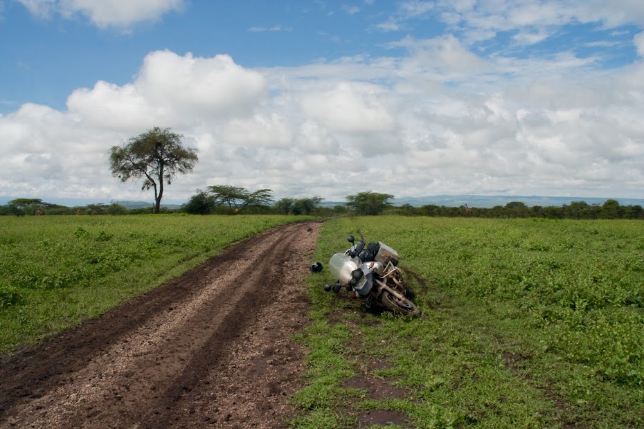
The bigger problem though was the rain season and the fact that the whole track was covered by that bloody cotton mud. TKC 80s are reasonably decent universal tyres, but they are useless in mud clogging very quickly and not cleaning themselves. I found this viscerally within a few hundred meters when out of a blue the bike without any provocation flipped from underneath me and I connected with the ground - hard. Trying to pick the bike up in the mud once I got my breathing going proved to be real joy. As soon as I got the bike to about 45 degrees, it would just slide away from me in circles pivoting on the rear wheel, and there were few instances when I did few full circles before I eventually managed to get it up somehow. I had to pick the bike up at least 10 times on those 70 km and ended up duck walking the bike probably at least 20 km constantly on the verge of fall or broken leg.
The mud doesn't look like much, but believe me it will have you on your ass within 15 meters:
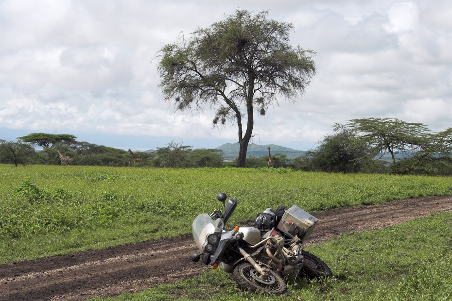
Giraffes wondering what is this idiot up to:
At one particularly yummy swamp I caught up with two Masai woman carrying heavy load of water and wood to their village few km away. Now you do not want to be born as a Masai woman - that’s about the toughest existence I can imagine. In the polygamous society where Masai man has many wives, the women have to do all the hard work and are literally valued way below the cows. Unexpected audience - of female type no less - made me to stand up for a bit more flattering form, inevitably ending up in a faceplant. With my dignity gone I asked this hard working women if they would be so kind and help me lift my ridiculously overweight and overloaded bike, which they did. Just for me to bite the mud about 5 meters further. They looked at this idiot riding around with a shit worth probably more than their whole village, including all the women, with those tired eyes of suffering mothers - they were both probably 15 years my juniors. Beyond shame, I looked back with the begging eyes of basset, and putting down their heavy loads once again, they helped to get me up again.
The inability to lift the bike quickly combined with the potential predator threat made me very jumpy on the plains while standing next to laying bike. On few occasions I’ve heard something approaching on the track behind the bushes, flapping big time looking for some hide-out. These always turned out to be Masai children walking from a school somewhere between 10 - 30 km away. But they had a stick, while I was completely defenseless! All this hard work resulted in no pictures unfortunately from this track.
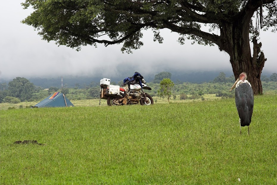
Eventually I made it in the afternoon tired, wet and muddy to the headquarters on the top of the Ngorongoro crater, where the head honcho adopted me, showed me to the campsite on the top of the crater and gave me for me his own (well government’s) car to take me to for safari to the crater next day. I’m sure none of the money I paid (including special 100 USD enviromental fee to enter the crater on top of standard admission - I mentioned the tourist theme park earlier, didn’t I) didn’t go to the government or national park, but hey - who am I to judge.
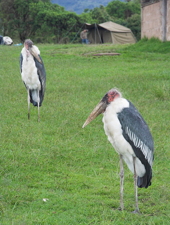
The campsite, with the scavengers ready:
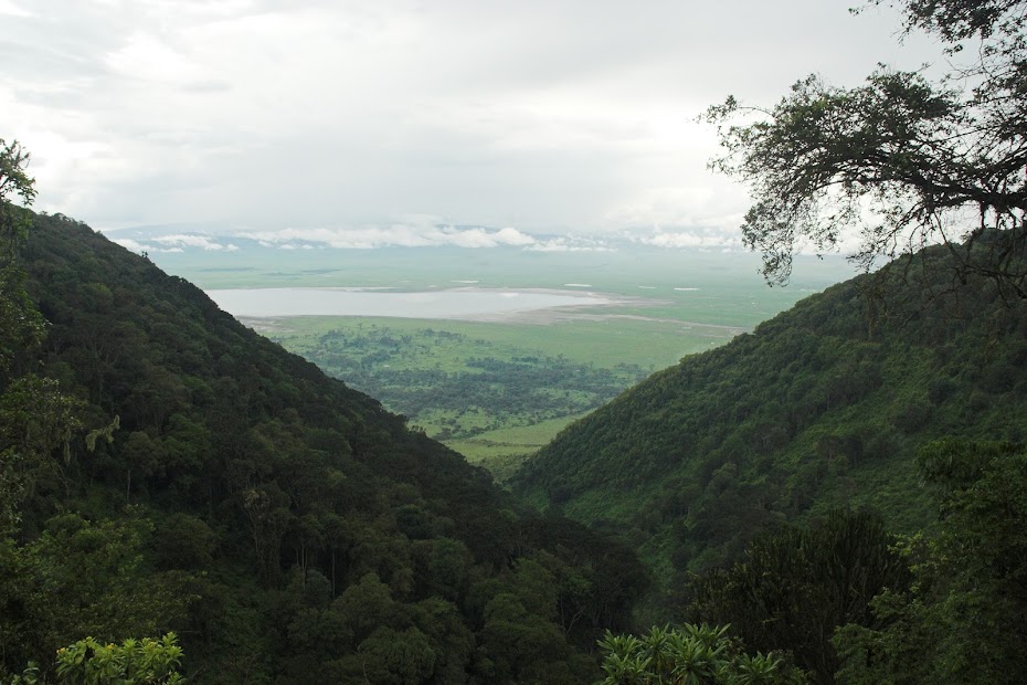
Ngorongoro crater from the top:
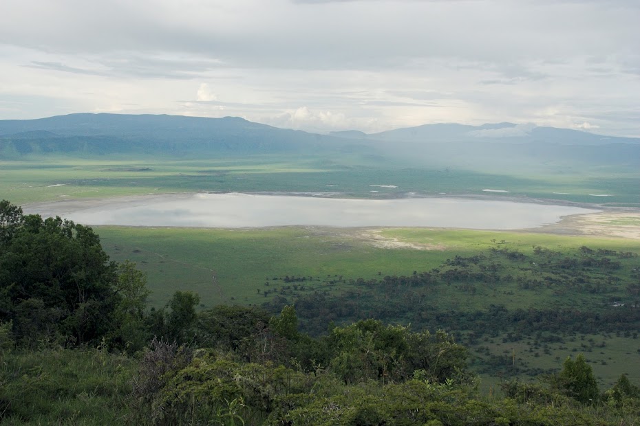
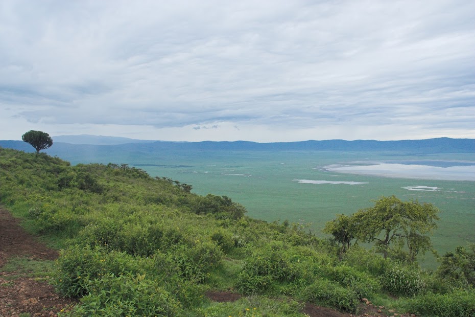
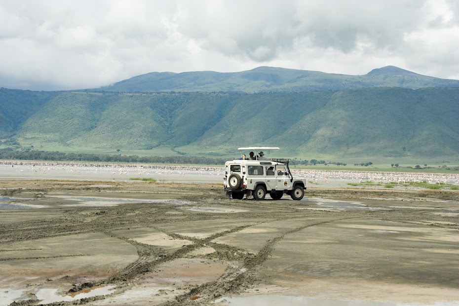
Ngorongoro crater, as the name says is a crater 20 km in diameter and 600 meters deep, at the bottom of which live separated the full variety of the african animals, big five notwithstanding. The set-up of the crater is impressive, and the animal viewing opportunities unparalleled as the animals are confined to the crater area with relatively very few places to hide. But this also gives it a bit of a zoo feel, where not much effort is required to see the animals. It’s limited size in combination with its accessibility along the main tourist route also results in the season in the ridiculous traffic jams when you just move slowly in the long train of 4x4 vehicles crawling across the crater floor. I was lucky and there wasn’t too much traffic, the game viewing was great, but still, not my favourite place for safari.
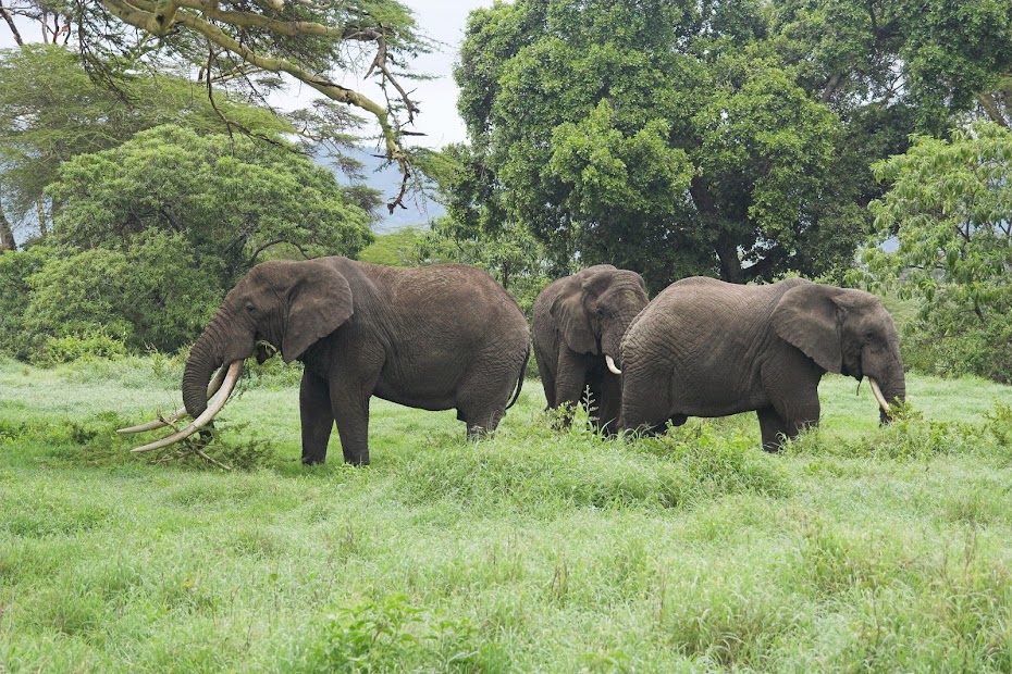
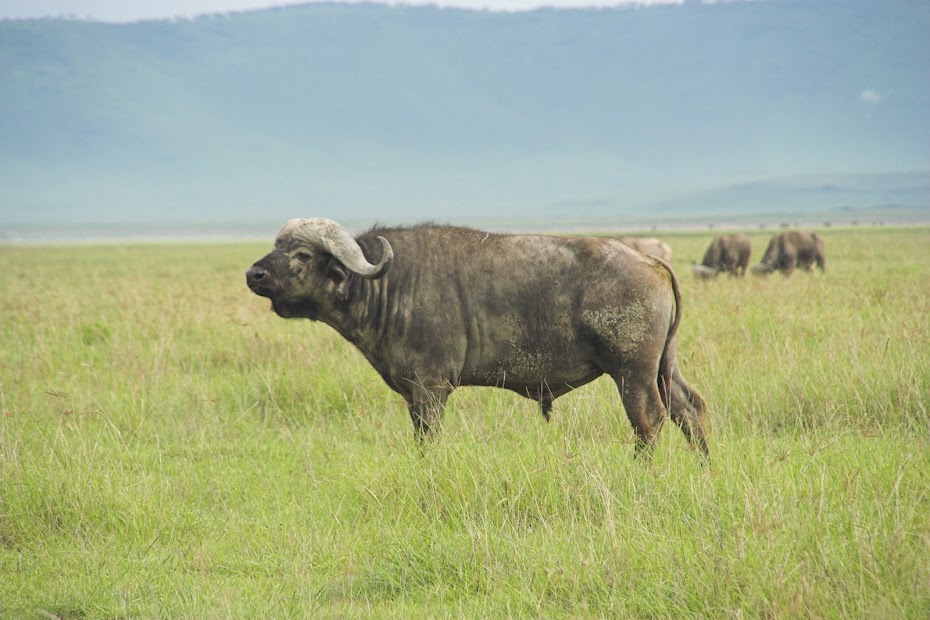
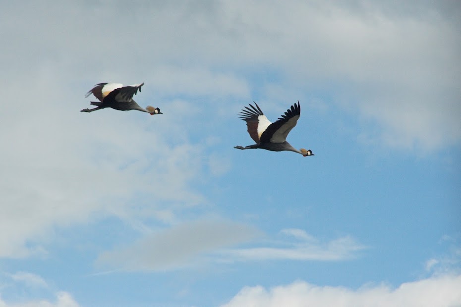
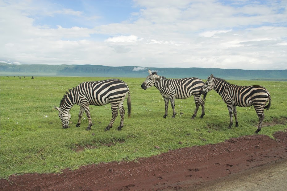
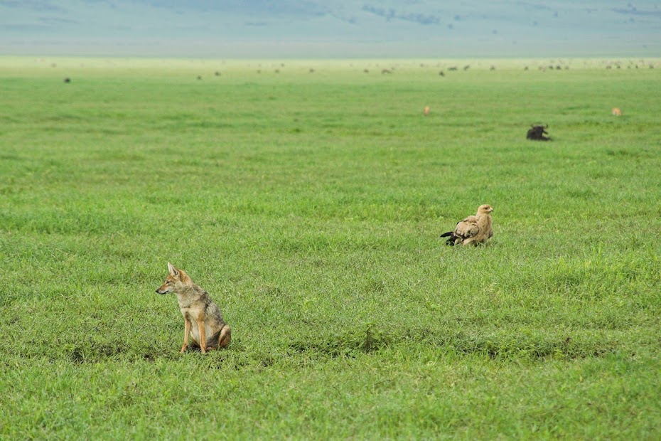
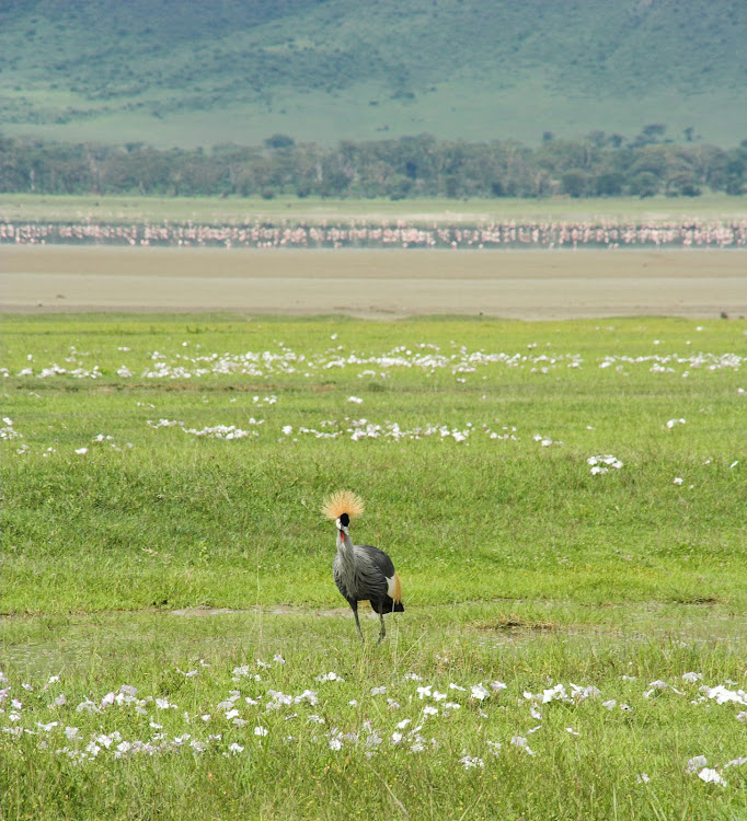
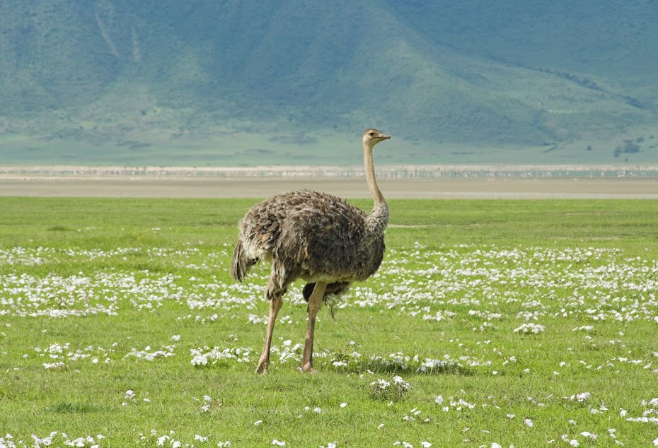
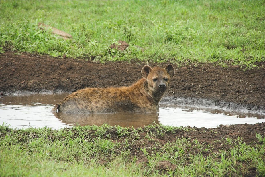
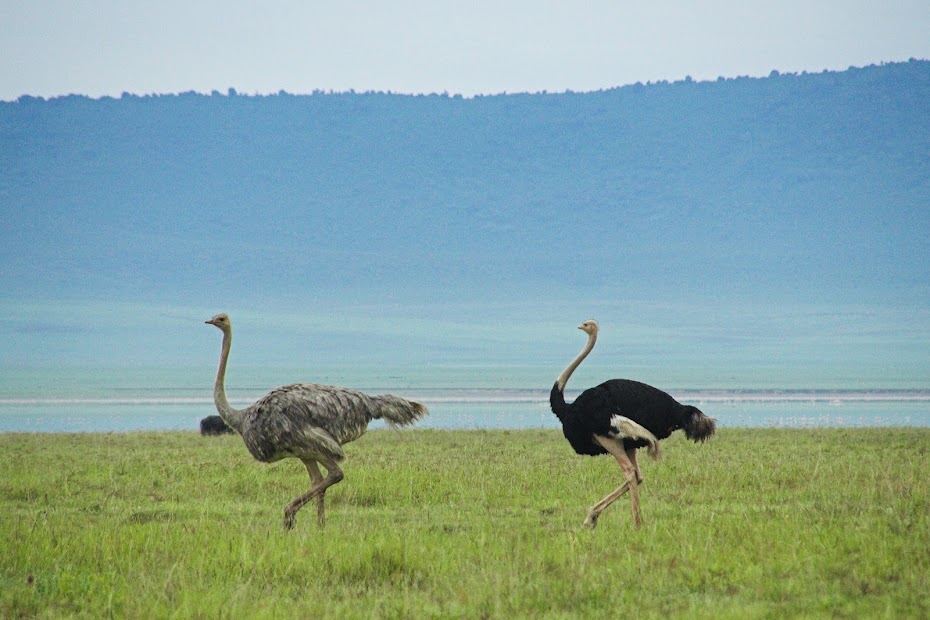
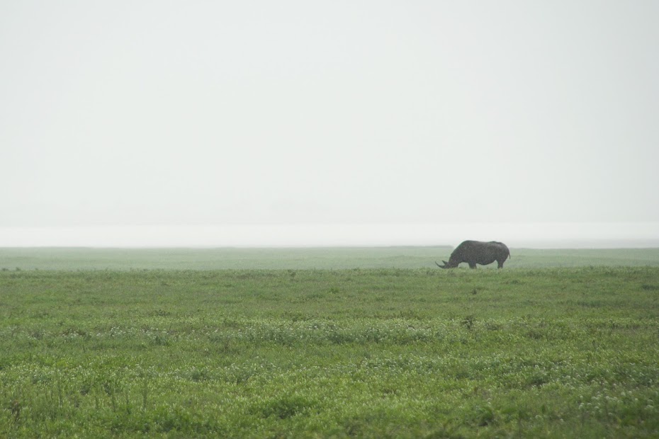
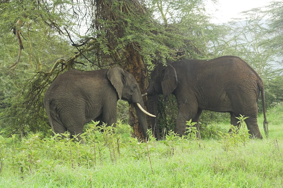
Ngorongoro safari:
One of the biggest killers of african savannahs - Tse Tse fly:
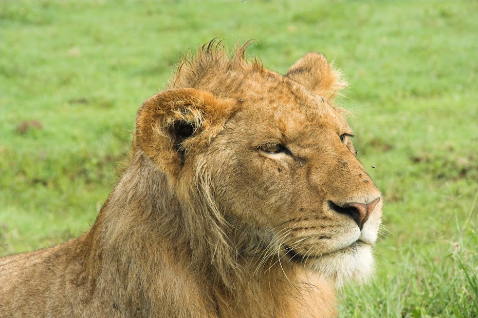
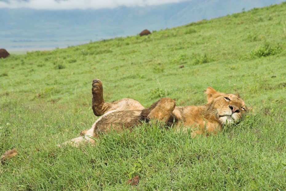
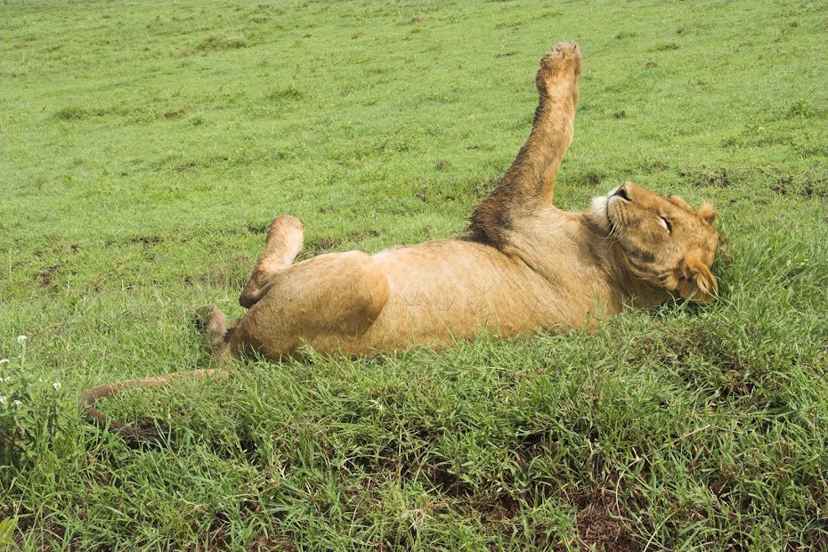
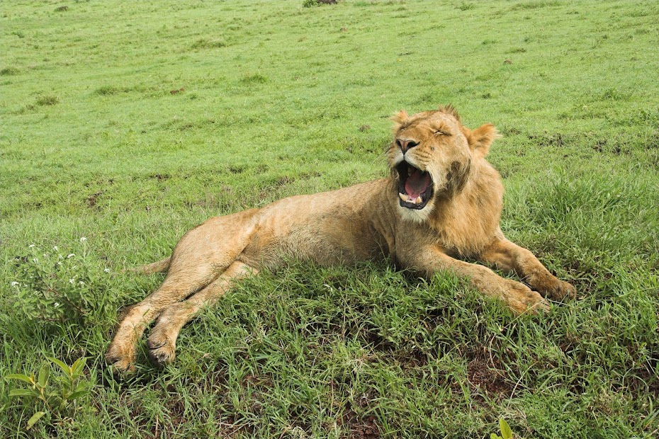
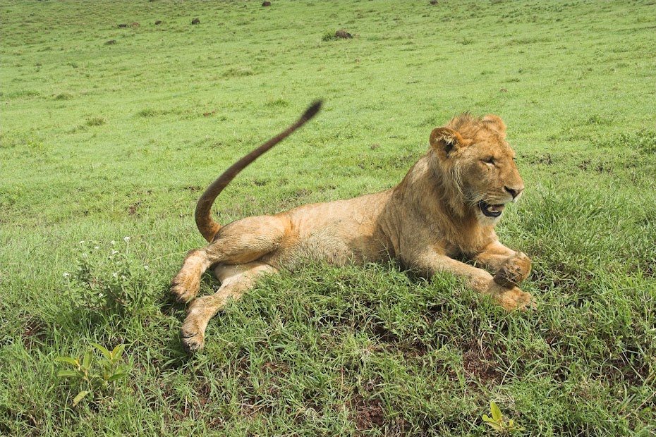
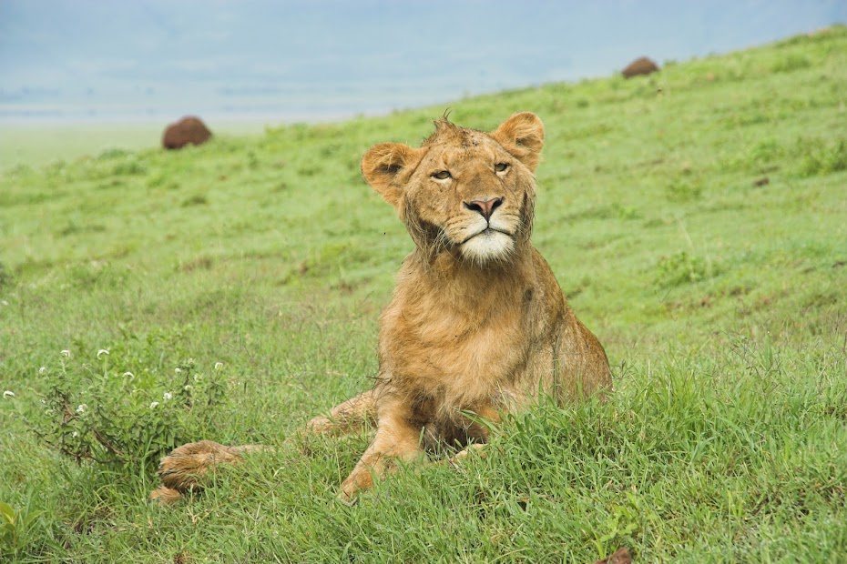
And the pussy cat - isn't it cute:
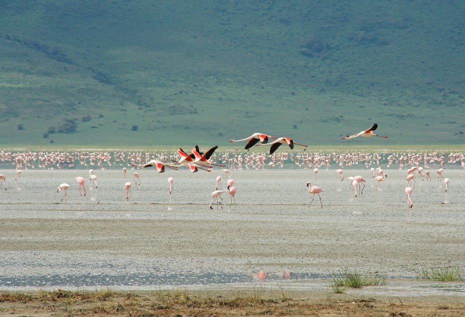
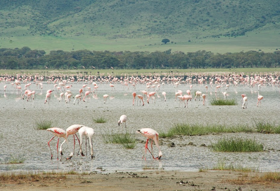
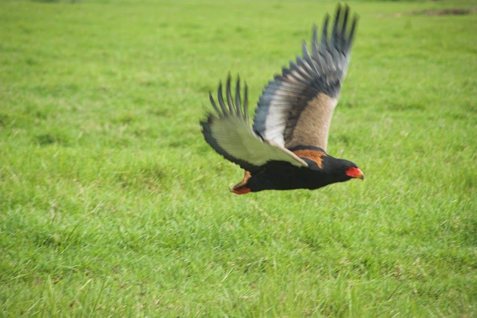
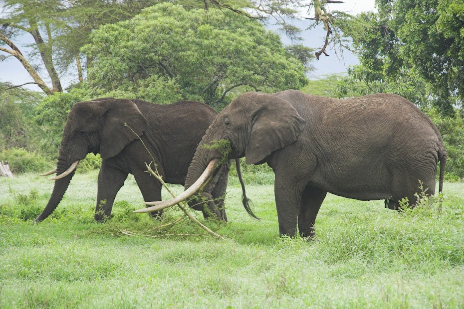
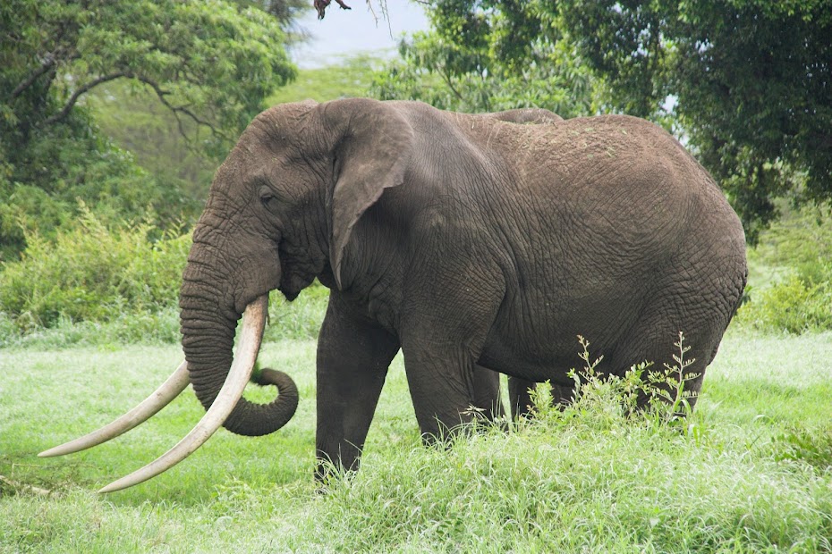
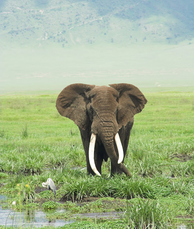
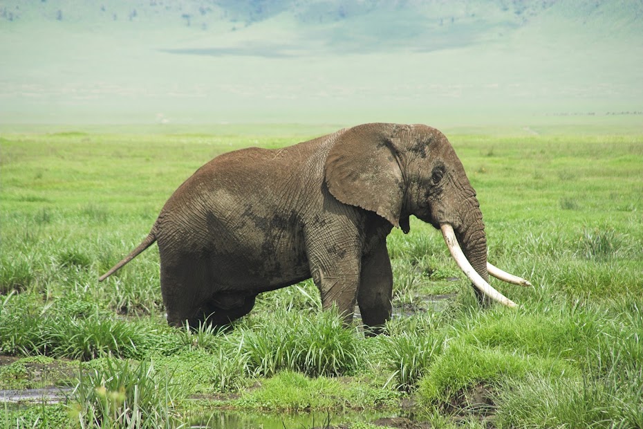
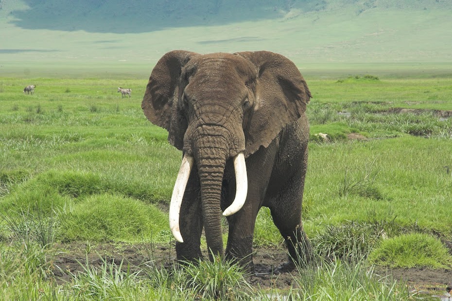
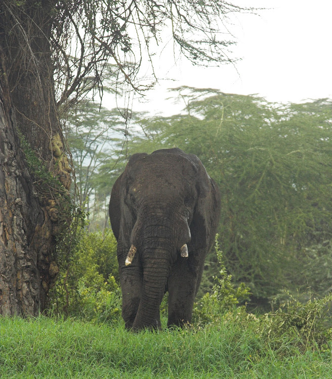
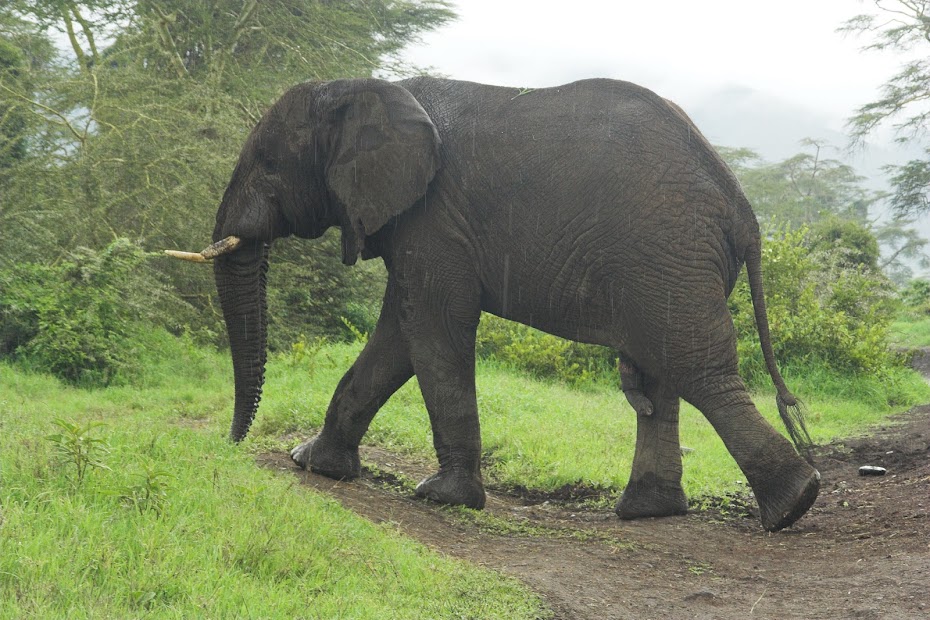
And probably the biggest elephant I've ever seen:
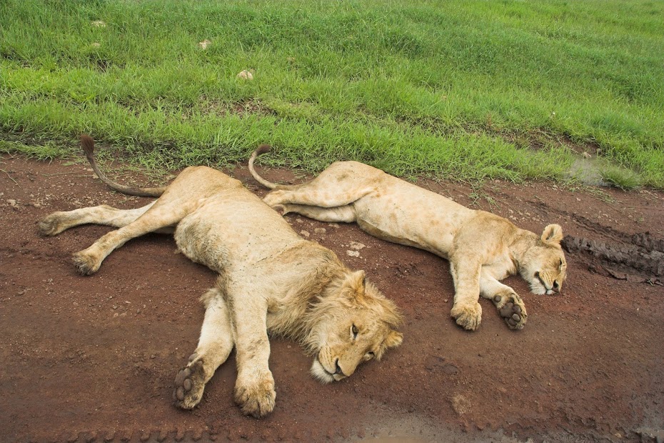
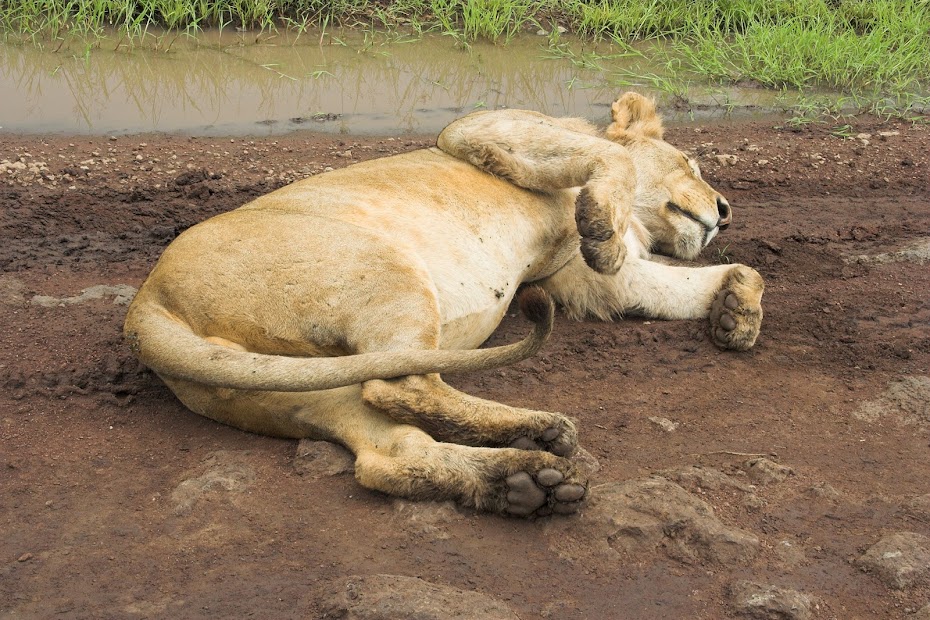
The lions don't even bother to get off the road:
Last look back:
Tanzania, together with Kenya, is the main tourist attraction of Eastern Africa, its highlights including Serengeti – the most famous national park in Africa, Kilimanjaro – the highest mountain in Africa and the highest freestanding mountain in the world, and exotic Zanzibar. It had pretty standard Africa history: Being colonized first by Germans during the scramble for Africa in the late 19th century, it was taken over by British after German defeat in WWI and finally became independent in the early 60’s. Ruled by the lefty intellectual Nyerere it followed one of those hefty nice sounding ideas of socialism, third way or some such, which brought it to the verge of starvation and made it dependent on the foreign aid. It has returned to multiparty democracy some time ago and after decades of social experiments it started slowly inching forward like the rest of sub-saharan Africa.
My impressions of Tanzania are pretty bland - which in comparison with Rwanda or DRC is not necessarily a bad thing. There are some wonderful things to see and experience, but it seemed to miss the lively energetic vibes of Uganda, Ethiopia or even Kenya. It was probably just the route I took, but the country felt a bit like a african theme tourist park, rather than a place with its own strong character.
Regarding the route - I was a bit torn. On one hand I was quite keen to explore the less travelled areas of western Tanzania along the coast of Lake Tanganyika - the name of which itself for me is a synonym for mystery and adventure. On the other hand, I wanted to climb Kilimanjaro and explore the areas around Ngorongoro, which both sit at the opposite corner of the country north east along the border with Kenya. After a bit of deliberation I have decided to head east and maybe head back to Tanganyika later.
My route through Tanzania:

I’ve crossed to Tanzania via the Rusumo Falls border post and made it in two days tar to Shinyanga about half way through to Kilimanjaro. Most of the route was good tar with minimum traffic under the broadest sky I’ve ever seen (I promise you much broader even than the Makgadikgadi pans in Botswana - no idea why), last about 100 km was good gravel. I’ve made it to Shinyanga without a glitch - no dodging of automatic fire, I’m glad to report.
Once settled in a guesthouse In Shinyanga, I’ve run into a problem though. The shortest way to get to Ngorongoro crater - the first objective, was on what looked like a main dirt road crossing from west to east Serengeti NP. Now I knew that normally they wouldn’t let me through NP on a bike, but in Uganda they did and as this was a main thoroughfare from Lake Victoria to Ngorongoro and Kilimanjaro about 400 km east, they may let me go as long as I stay on the main road (as they do for example in Chobe NP in Botswana). But the tourist information centre in town told me there is no way they will let me in. The only alternative was a long boring way around on tar south to Singida then up north to Karatu and from there back west to Ngorongoro. I wasn’t thrilled.
But then looking at the Michelin map (if you need one map to cross Africa, this is the one - or the three of them covering whole africa) I’ve seen there was indicated trek going almost in a straight line from Shinyanga to Ngorongoro running on the southern boundary of Serengeti and north of lake Eyasi. First half it run along Serengeti, the second half run through something called Ngorongoro Conservation Area. Well, if it doesn’t have national park in the name, surely I’m allowed in, right?
With that settled I prepared for departure next day, and went to do a bit web browsing to the local Telkom office with the local youngster named Deo, who was brother of my hotel’s manager. He was quite helpful so I paid for an hour of internet for him and logged into my website so that he can browse through the pictures of my trip. When I checked on him after the hour expired, he was still on the same page I left him on - only with some message window with OK/cancel on it. The poor soul didn’t have a clue how Windows or mouse work. Now, if he has been a Masai herds boy I could understand, but Deo was university graduate and lived in a hotel where he had access to a computer in reception. This experience left me wondering about prospects of this African country.
Next day I packed up and set-off on the gravel roads east. After about 70 km I reached the south-western corner of Serengeti and continued along the boundary on rocky double track winding in and out of bush. There was no traffic whatsoever and I felt a bit apprehensive as I half expected a lion leaping out of the bush for a bit of petting. I haven’t encountered any game worth mentioning though. My speed was quite low - there were few quite technical rocky sections, creek crossings and such, which sapped my energy quite a lot.
I have eventually arrived in the afternoon to the western gate of the Ngorongoro Conservation Area and as I expected will be the case despite my NP theory, was told by the Masai rangers, that it’s no go on the bike. They were friendly though and interested in the bike as there are probably none coming this way. Sensing the potential opening and not keen to backtrack just to ride almost full circle on hundreds of kms of boring tar, I just kept straight face and lied. I told them that I do not have enough petrol to go back and am scared of the track I just came on as it’s too tough. Being nice hosts they were, the commander called his boss at the park headquarters on the top of the Ngorongoro crater about 70 km east, who eventually granted permission for me to cross next day. The commander even invited me to stay the night with him in his room, which I gladly accepted not keen to camp in the prime animal area.
Karma caught up with me immediately next morning. I packed up early and set-off for the 70 km ride to the Ngorongoro crater. Those 70 km took me better part of 8 hours to ride. The double track was running across those trademark african plains with thousand and thousands of wildebeest, zebra and buffalo around.
That on its own proved to be a challenge, as I worried that there must be swarms of predators following along, so I was constantly scanning the plains for a sign of lion or hyena. To my dismay I fully realized how scared I am of the animals. I had glimpses of that fear before when encountering bulls parked square in the middle of the road and completely ignoring my attempts to pass. I would try different tactics from blowing the horn, revving the engine to making a snake eyes a la Clint Eastwood and snarling something threatening - and nothing. Invariably, this impasse will end with a 10 kg child jumping out of the bush screaming at the 1 ton bull which at that point will be running in blind panic away for dear life. Done with the bull the kid would turn to me - staring mesmerized by the whole scene - and scream “Give me money/candy/pen!”. At which point I would snap out of my daydreaming, kick in the gear and ride away in the cloud of dust and panic, with rear wheel spinning. The police should use these for the crowd control.
The bigger problem though was the rain season and the fact that the whole track was covered by that bloody cotton mud. TKC 80s are reasonably decent universal tyres, but they are useless in mud clogging very quickly and not cleaning themselves. I found this viscerally within a few hundred meters when out of a blue the bike without any provocation flipped from underneath me and I connected with the ground - hard. Trying to pick the bike up in the mud once I got my breathing going proved to be real joy. As soon as I got the bike to about 45 degrees, it would just slide away from me in circles pivoting on the rear wheel, and there were few instances when I did few full circles before I eventually managed to get it up somehow. I had to pick the bike up at least 10 times on those 70 km and ended up duck walking the bike probably at least 20 km constantly on the verge of fall or broken leg.
The mud doesn't look like much, but believe me it will have you on your ass within 15 meters:

Giraffes wondering what is this idiot up to:

At one particularly yummy swamp I caught up with two Masai woman carrying heavy load of water and wood to their village few km away. Now you do not want to be born as a Masai woman - that’s about the toughest existence I can imagine. In the polygamous society where Masai man has many wives, the women have to do all the hard work and are literally valued way below the cows. Unexpected audience - of female type no less - made me to stand up for a bit more flattering form, inevitably ending up in a faceplant. With my dignity gone I asked this hard working women if they would be so kind and help me lift my ridiculously overweight and overloaded bike, which they did. Just for me to bite the mud about 5 meters further. They looked at this idiot riding around with a shit worth probably more than their whole village, including all the women, with those tired eyes of suffering mothers - they were both probably 15 years my juniors. Beyond shame, I looked back with the begging eyes of basset, and putting down their heavy loads once again, they helped to get me up again.
The inability to lift the bike quickly combined with the potential predator threat made me very jumpy on the plains while standing next to laying bike. On few occasions I’ve heard something approaching on the track behind the bushes, flapping big time looking for some hide-out. These always turned out to be Masai children walking from a school somewhere between 10 - 30 km away. But they had a stick, while I was completely defenseless! All this hard work resulted in no pictures unfortunately from this track.
Eventually I made it in the afternoon tired, wet and muddy to the headquarters on the top of the Ngorongoro crater, where the head honcho adopted me, showed me to the campsite on the top of the crater and gave me for me his own (well government’s) car to take me to for safari to the crater next day. I’m sure none of the money I paid (including special 100 USD enviromental fee to enter the crater on top of standard admission - I mentioned the tourist theme park earlier, didn’t I) didn’t go to the government or national park, but hey - who am I to judge.
The campsite, with the scavengers ready:


Ngorongoro crater from the top:


Ngorongoro crater, as the name says is a crater 20 km in diameter and 600 meters deep, at the bottom of which live separated the full variety of the african animals, big five notwithstanding. The set-up of the crater is impressive, and the animal viewing opportunities unparalleled as the animals are confined to the crater area with relatively very few places to hide. But this also gives it a bit of a zoo feel, where not much effort is required to see the animals. It’s limited size in combination with its accessibility along the main tourist route also results in the season in the ridiculous traffic jams when you just move slowly in the long train of 4x4 vehicles crawling across the crater floor. I was lucky and there wasn’t too much traffic, the game viewing was great, but still, not my favourite place for safari.
Ngorongoro safari:


One of the biggest killers of african savannahs - Tse Tse fly:

And the pussy cat - isn't it cute:


And probably the biggest elephant I've ever seen:


The lions don't even bother to get off the road:


Last look back:

Tanzania - part 2
Once back from safari I packed up and set-off east out of the Ngorongoro conservation area toward Arusha. But I had one more detour to do. You might remember that the Frenchie volcano enthusiasts I’ve met on the top of Nyiragongo above Goma told me about another active volcano Ol Doinyo Lengai sitting to the east of the Ngorongoro at the southern tip of Lake Natron (I love that name, sounds like something from James Bond). I was keen to go as it seemed to be properly off the beaten tourist track and seemed like a good antidote to the Ngorongoro zoo. But it was late, so I slept over in catholic mission in Karatu and set-off north next day.
The track followed about 120 km along the eastern flank of the Ngorongoro. First 40 km or so were good gravel, which turned into a double track and eventually turned into properly deep sand track for the last 30 km to the lake. I arrived there in the afternoon and enquired in the small Masai village if I can hike up the volcano. They said sure and will provide guide and one porter, just not now. They told me that I cannot walk during the day because of the heat (it was bloody hot), so we will go at 10 pm and walk overnight up for the sunrise at the top. It is almost exactly 2000 altitude meters up from about 900 meters to 2900 meters at the top - proper walk by any measures.
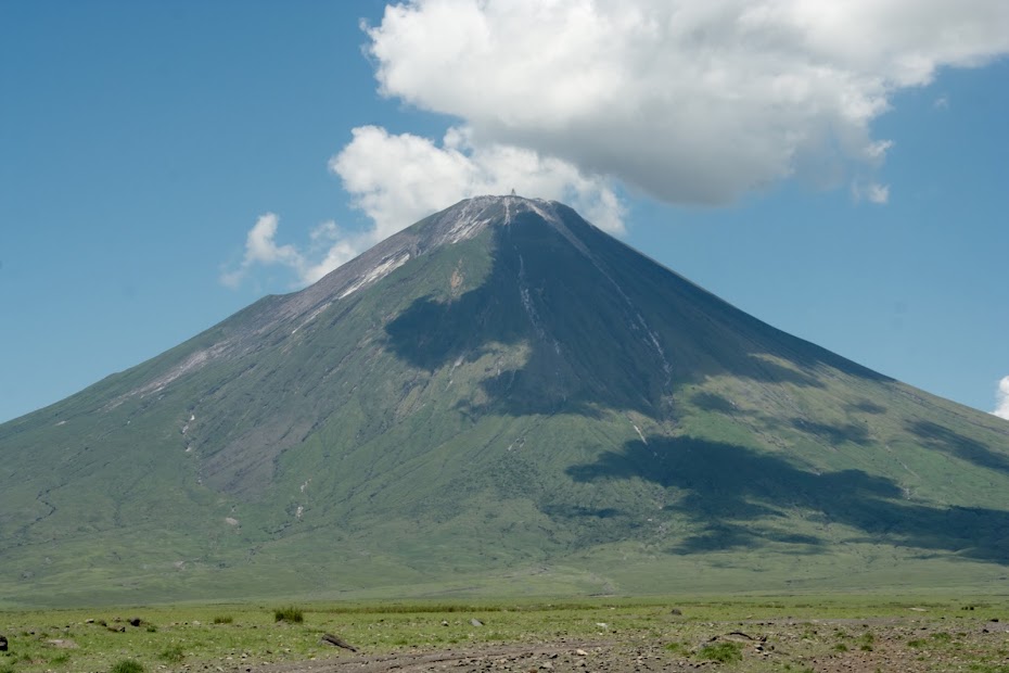
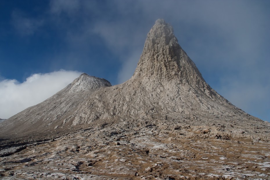
Ol Doinyo Legai from the campsite and close-ups:
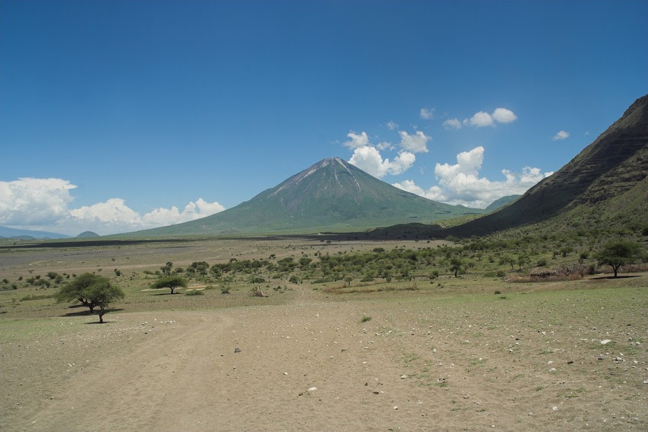
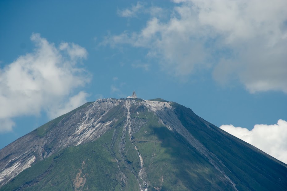
And the top with the smoking lava chimney's sticking out of the flat top:
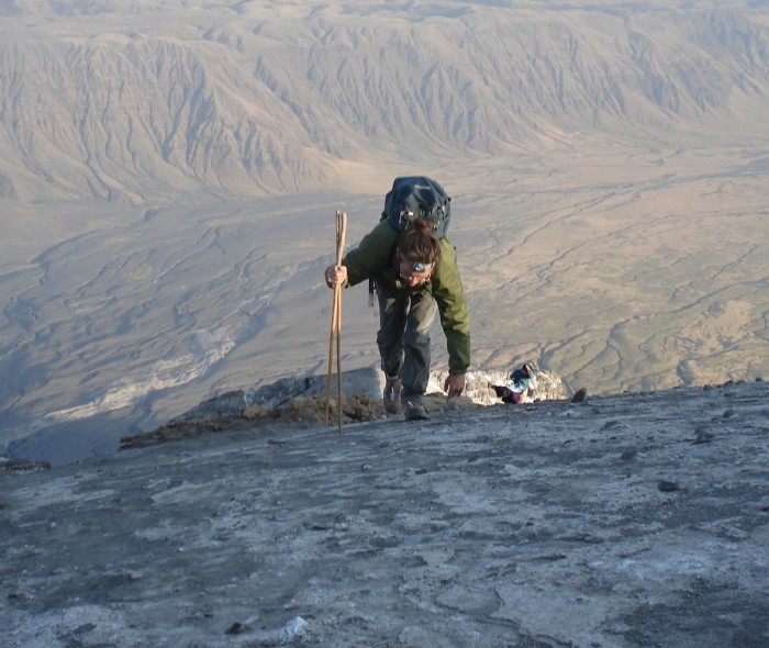
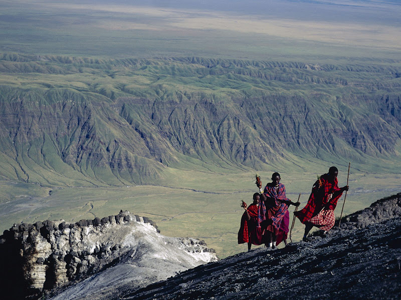
So I tried more or less unsuccessfully to catch some sleep in the midday heat before we set-off. At about 9:00 pm we were picked up by local 4x4 which took us 3 the 15 km or so to the bottom of the mountain, where we picked up the luggage and set-off. I’m not professional mountaineer, and there is something cool about climbing a volcano in the darkness of the night. However it became obvious that this is going to be hard work. The sides of the conical volcano are steep and made of hardened lava - like walking on tiles angles at about 45 degrees. If you slip there is nothing to hold on to so its not inconceivable that you just roll down back most of those 2 km. The guide told me that right now there is no visible lava at the top - a bummer as the French guys few weeks back have witnessed lava eruptions. On the other hand I could see fresh lava streams all around me and when I asked innocently how fast does lava flow, the guide told me that faster than water, so maybe not so bad.
I do not have any pictures from the ascent as it was pitch dark, so I've stolen these from Google to give you some idea:
We made it to the top before sunrise, and it was bloody cold - freezing actually. So from the risk of a heat stroke working pig in the heavy sand to the hypothermia in the space of few hours. Idiotically I didn’t bring sleeping bag, only mattress to sit on and some thermal underwear.
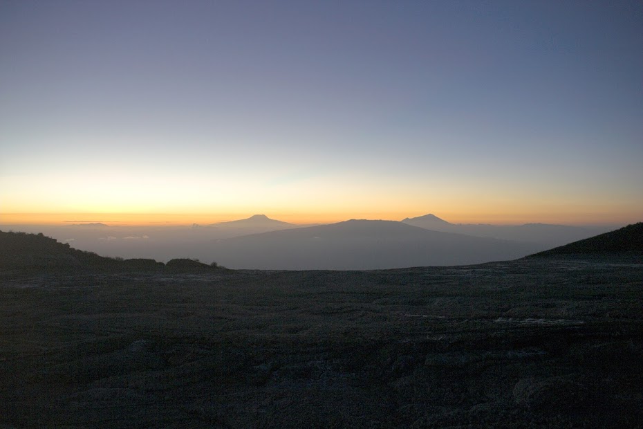
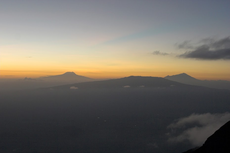
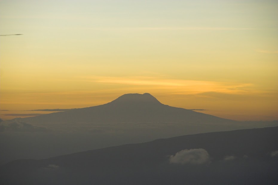
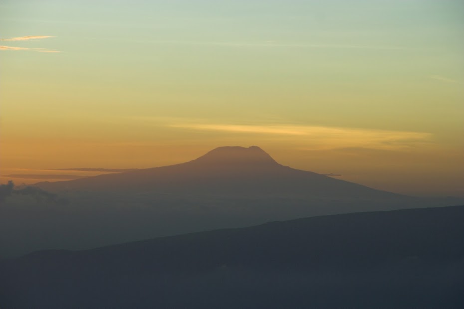
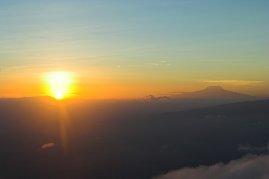
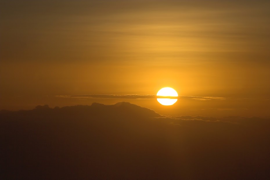
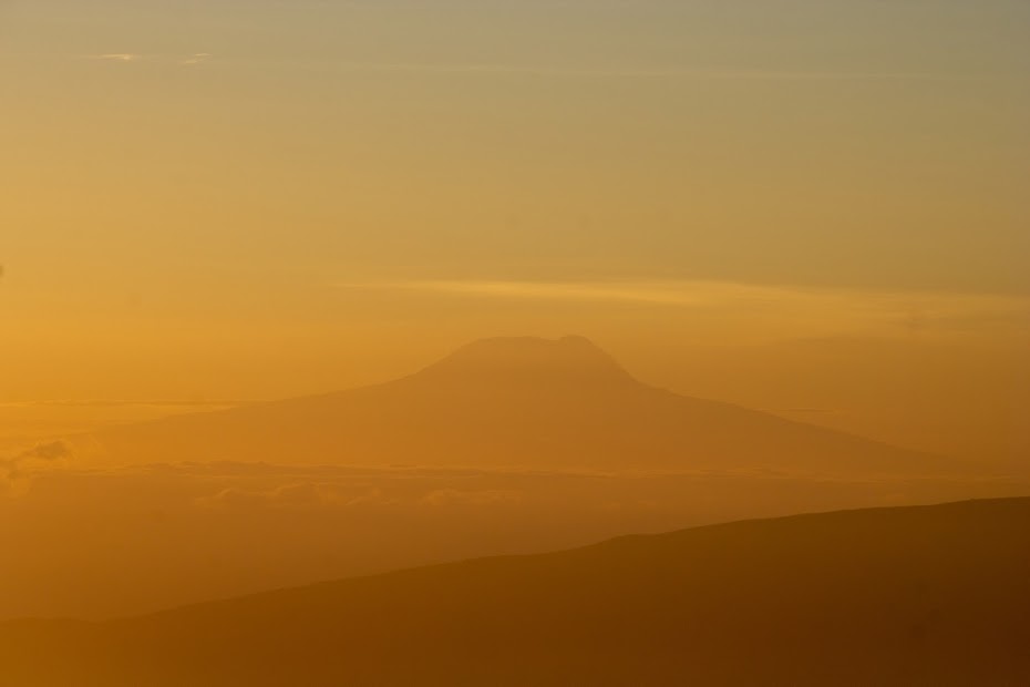
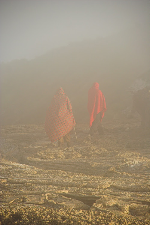
Eventually the sunrise came, and it was worth all the hard work and the freezing balls. Here are the sunrise pictures of Kilimanjaro (left) and Mount Meru about 200 km away:
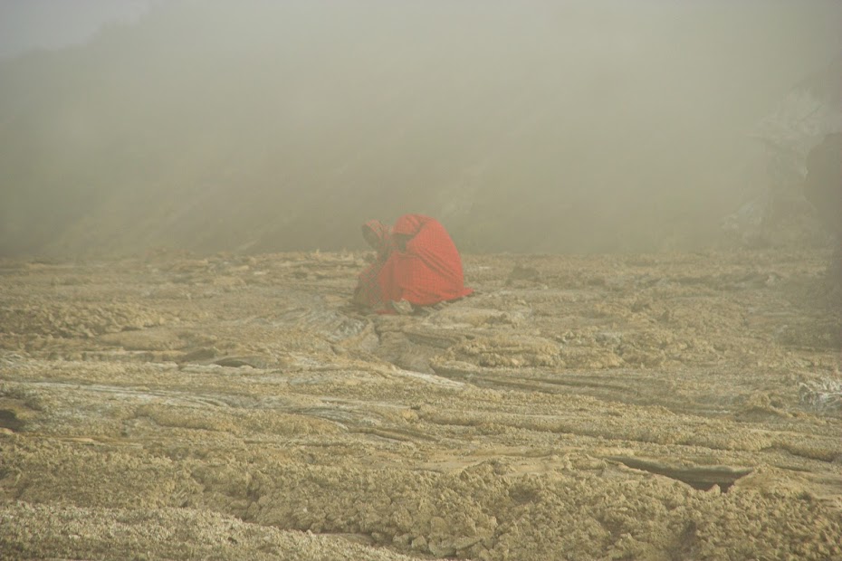
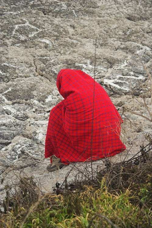
As I said, it was bloody cold and my two companions sat shivering until the sun came fully up and the day warmed up:
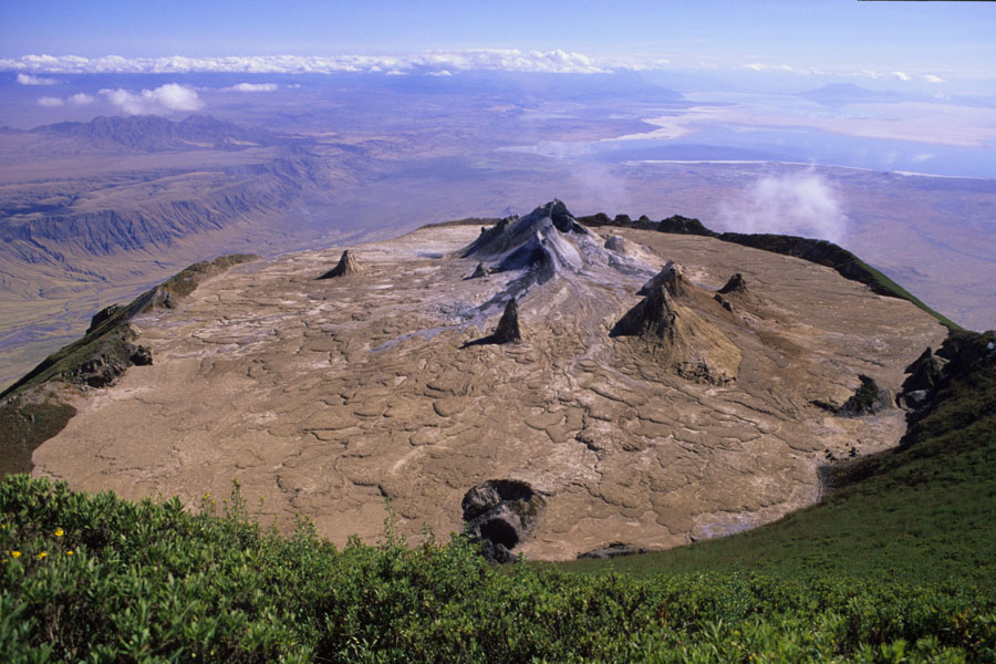
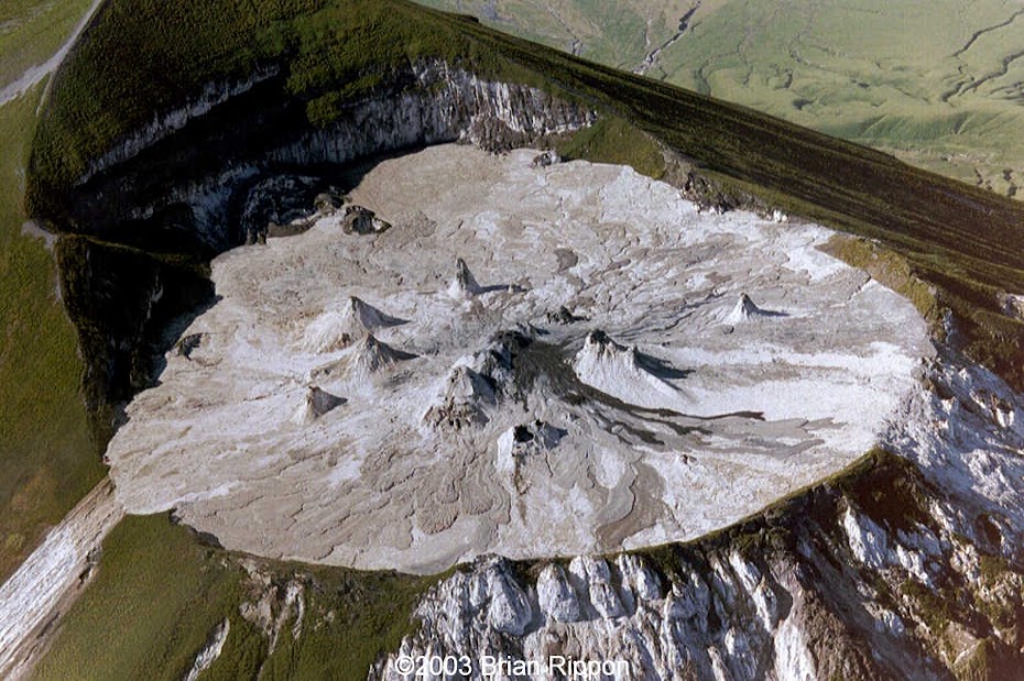
Unlike other volcanos the top is not a crater, but flat with few chimneys towering above the hardened lava. I didn't have wide enough lens to capture it so here is another steal from Google:
I gingerly walked around on top of the hardened lava keeping to the outer perimeter not keen to crush through into a hot lava lake:
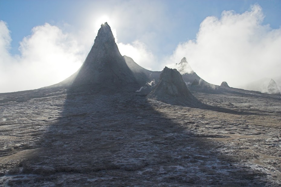
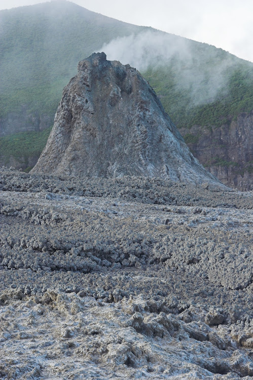
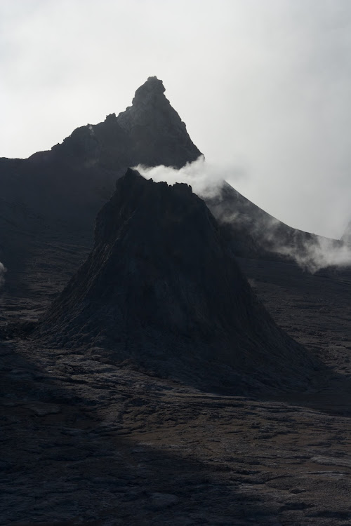
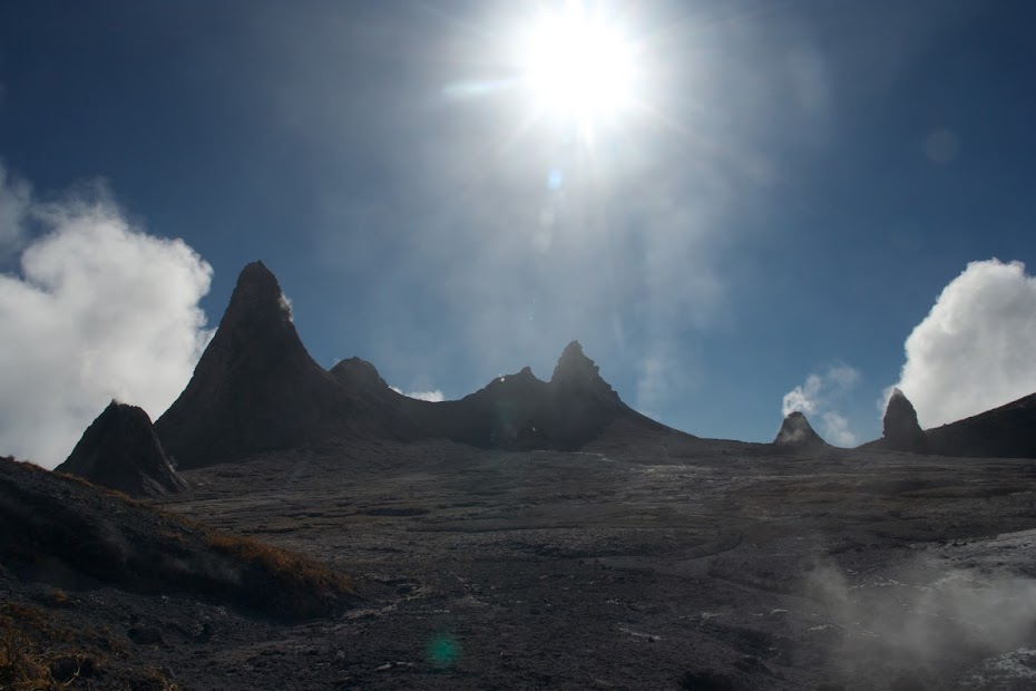
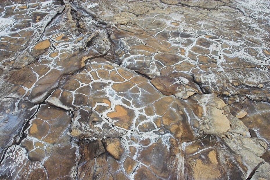
Hardened lava I tip toed on:
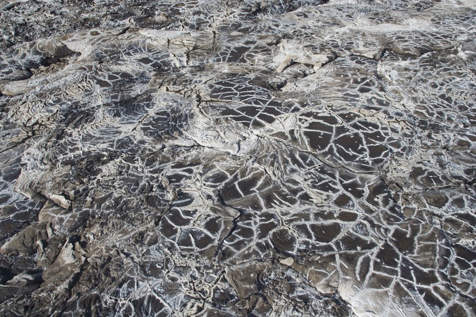
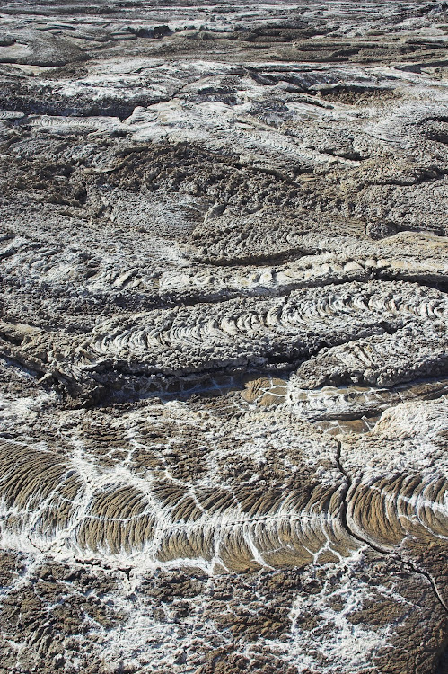
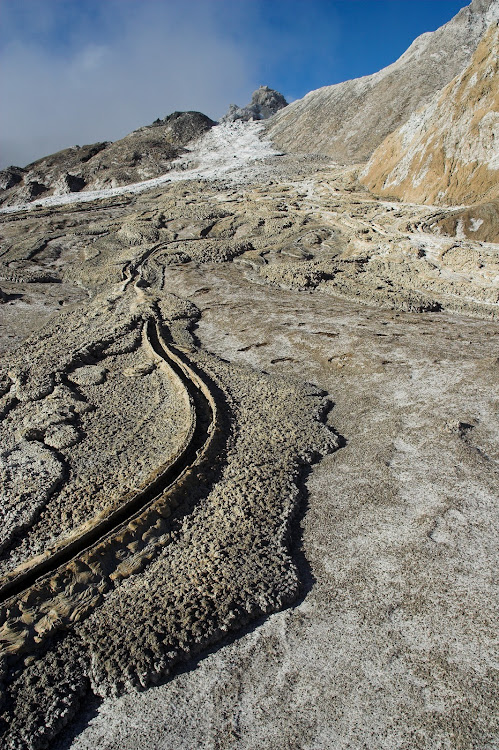
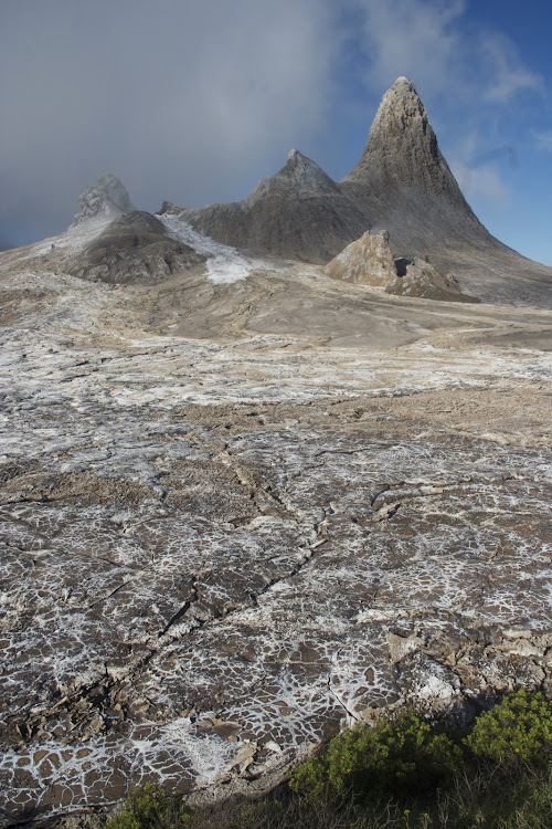
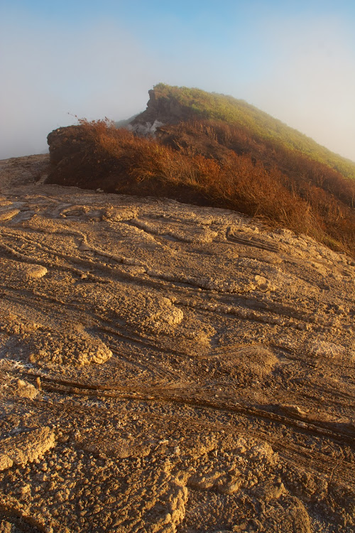
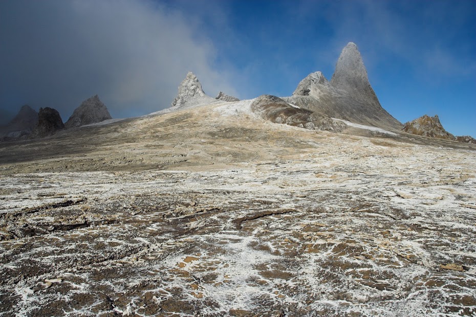
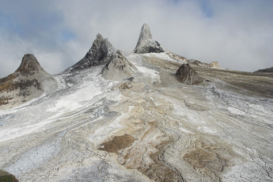
The main overflow - but there are couple of others on each side:
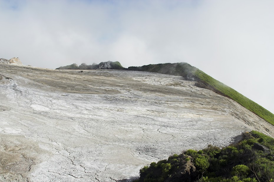
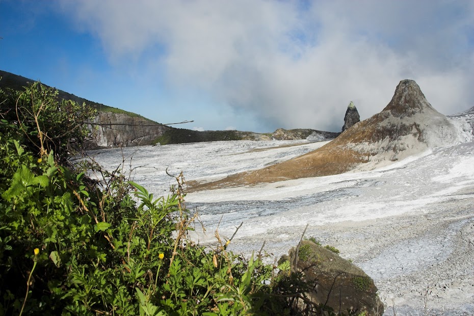
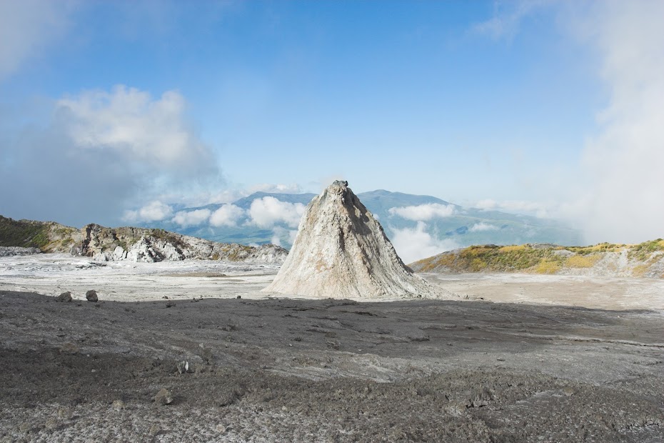
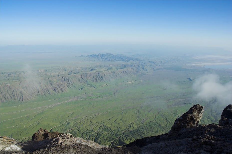
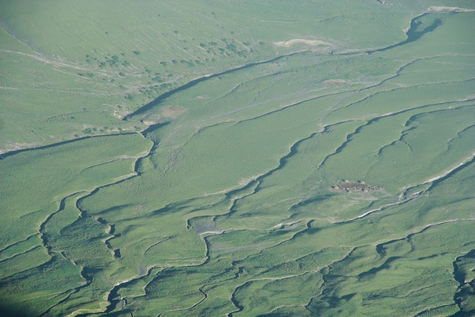
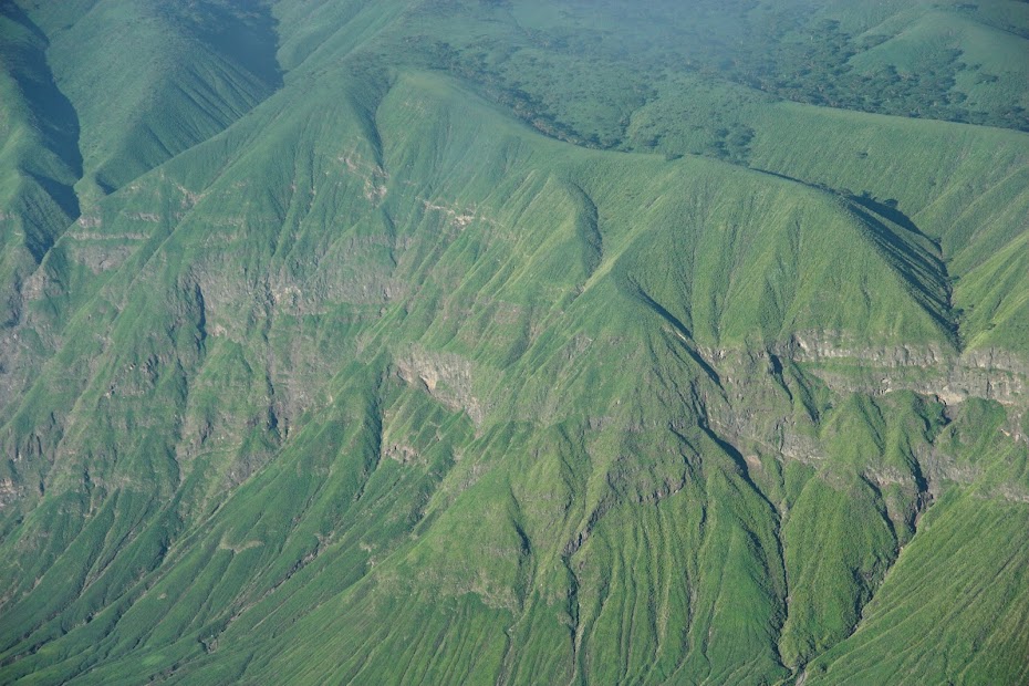
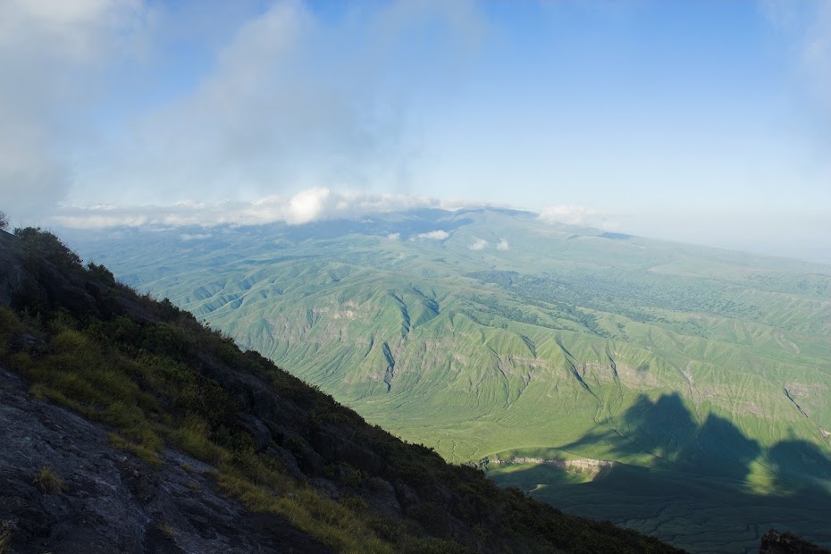
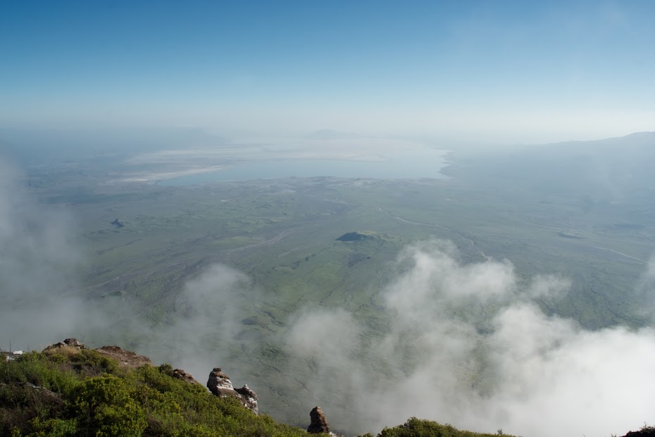
The views of the nearby Ngorongoro massive and Lake Natron from 2 km above are impressive indeed:
As I wasn't lucky enough to catch lava on top, here are few more pics of lava on top shamelessly stoled from internet:
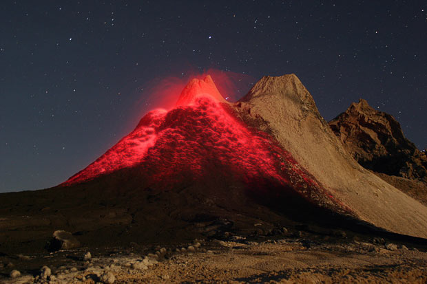
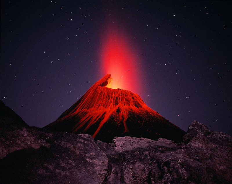
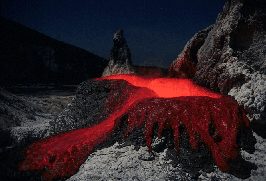
After few hours on top, we made our way back down and then walked those remaining 15 km to the village in the midday heat. Tired as dog I fell asleep and woke up only next morning, when I packed up and retraced back to Karatu and onwards to Arusha and Moshi, the base for Kilimanjaro climb.
On the descent:
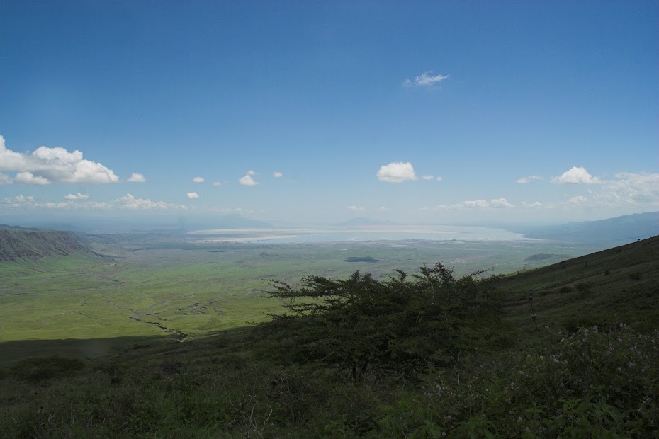
Lake Natron:
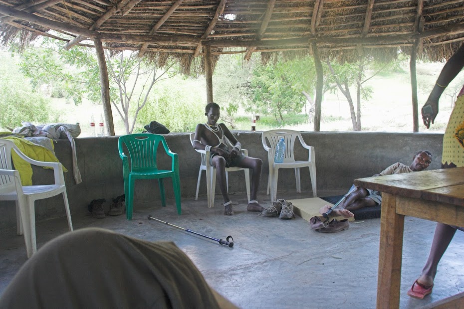
My Masai porter back at the base:
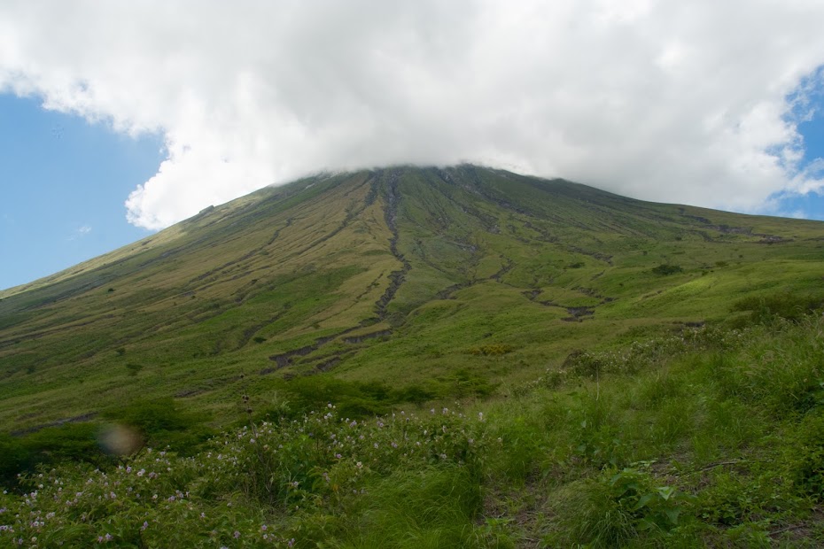
And few more from the ride back to tar in Karatu 120 km away. Pig with OL behind hidden in the clouds:
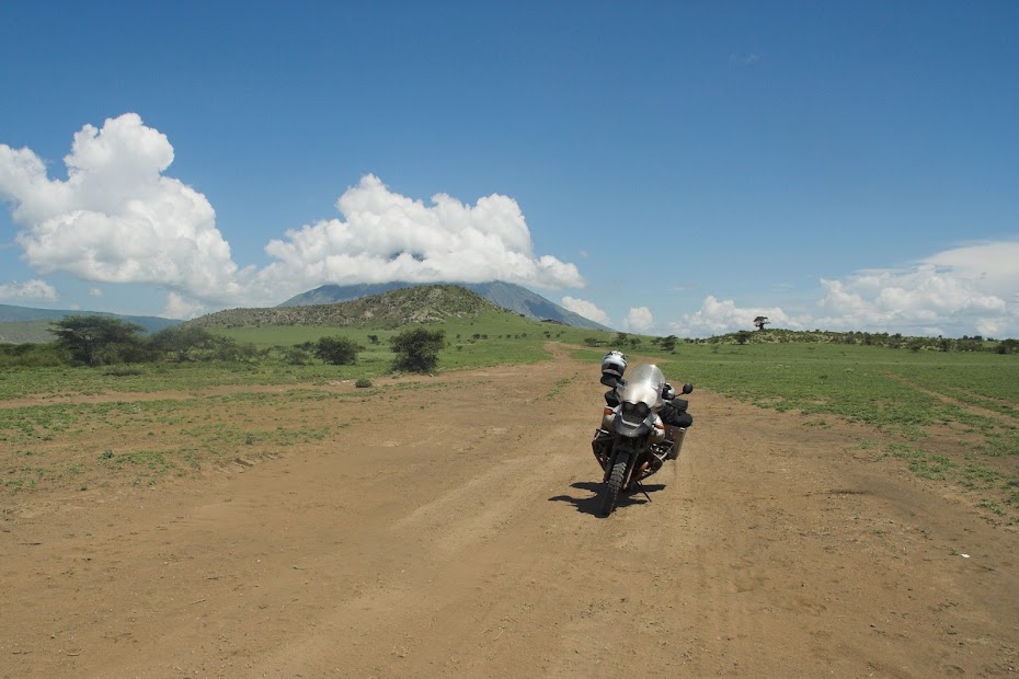
Wildlife along the way:
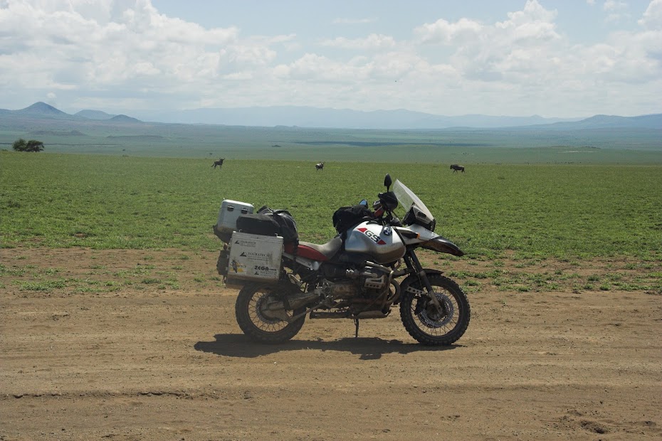
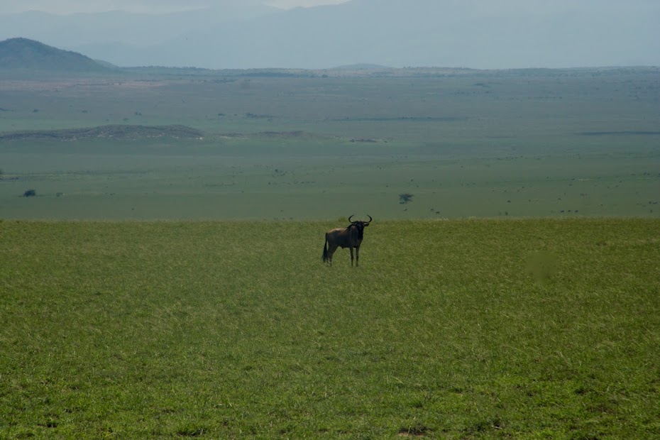
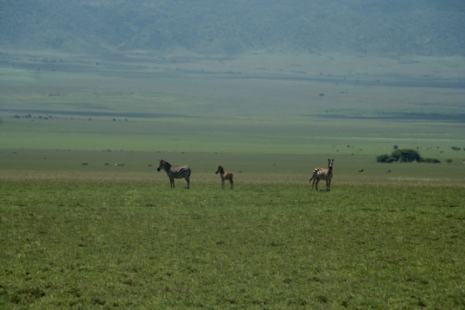
Masai and baobab:
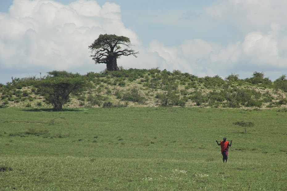
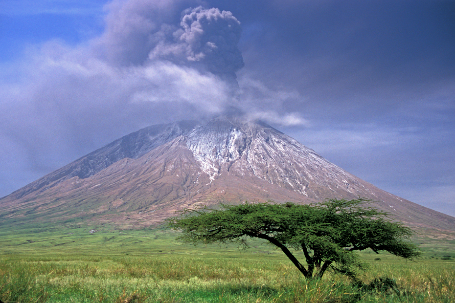
This Ol Doinyo Lengai trippie was definitely my highlight of Tanzania. It is impressive in its own right, but the fact that it's off beaten tourist circuit and doesn't feature as a prominent highlight of Tanzania helps one to keep his expectations at check and be very much impressed when there. As my pictures suck (I've lost some good ones unfortunately) I will close this one with few more stolen ones to give OL the proper send off:
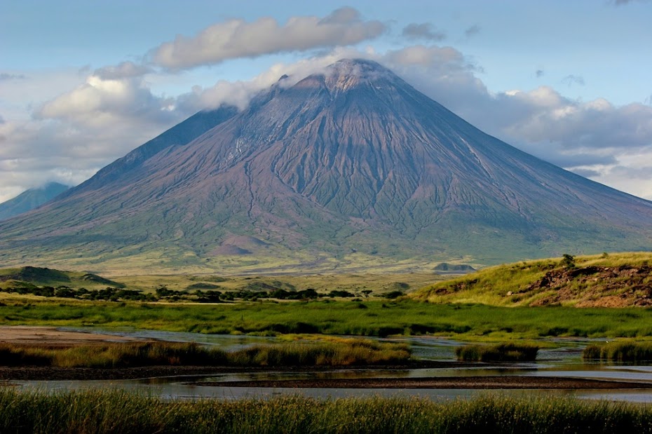
Once back from safari I packed up and set-off east out of the Ngorongoro conservation area toward Arusha. But I had one more detour to do. You might remember that the Frenchie volcano enthusiasts I’ve met on the top of Nyiragongo above Goma told me about another active volcano Ol Doinyo Lengai sitting to the east of the Ngorongoro at the southern tip of Lake Natron (I love that name, sounds like something from James Bond). I was keen to go as it seemed to be properly off the beaten tourist track and seemed like a good antidote to the Ngorongoro zoo. But it was late, so I slept over in catholic mission in Karatu and set-off north next day.
The track followed about 120 km along the eastern flank of the Ngorongoro. First 40 km or so were good gravel, which turned into a double track and eventually turned into properly deep sand track for the last 30 km to the lake. I arrived there in the afternoon and enquired in the small Masai village if I can hike up the volcano. They said sure and will provide guide and one porter, just not now. They told me that I cannot walk during the day because of the heat (it was bloody hot), so we will go at 10 pm and walk overnight up for the sunrise at the top. It is almost exactly 2000 altitude meters up from about 900 meters to 2900 meters at the top - proper walk by any measures.
Ol Doinyo Legai from the campsite and close-ups:


And the top with the smoking lava chimney's sticking out of the flat top:

So I tried more or less unsuccessfully to catch some sleep in the midday heat before we set-off. At about 9:00 pm we were picked up by local 4x4 which took us 3 the 15 km or so to the bottom of the mountain, where we picked up the luggage and set-off. I’m not professional mountaineer, and there is something cool about climbing a volcano in the darkness of the night. However it became obvious that this is going to be hard work. The sides of the conical volcano are steep and made of hardened lava - like walking on tiles angles at about 45 degrees. If you slip there is nothing to hold on to so its not inconceivable that you just roll down back most of those 2 km. The guide told me that right now there is no visible lava at the top - a bummer as the French guys few weeks back have witnessed lava eruptions. On the other hand I could see fresh lava streams all around me and when I asked innocently how fast does lava flow, the guide told me that faster than water, so maybe not so bad.
I do not have any pictures from the ascent as it was pitch dark, so I've stolen these from Google to give you some idea:


We made it to the top before sunrise, and it was bloody cold - freezing actually. So from the risk of a heat stroke working pig in the heavy sand to the hypothermia in the space of few hours. Idiotically I didn’t bring sleeping bag, only mattress to sit on and some thermal underwear.
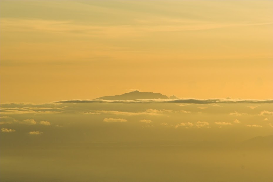
Eventually the sunrise came, and it was worth all the hard work and the freezing balls. Here are the sunrise pictures of Kilimanjaro (left) and Mount Meru about 200 km away:


As I said, it was bloody cold and my two companions sat shivering until the sun came fully up and the day warmed up:


Unlike other volcanos the top is not a crater, but flat with few chimneys towering above the hardened lava. I didn't have wide enough lens to capture it so here is another steal from Google:


I gingerly walked around on top of the hardened lava keeping to the outer perimeter not keen to crush through into a hot lava lake:


Hardened lava I tip toed on:


The main overflow - but there are couple of others on each side:


The views of the nearby Ngorongoro massive and Lake Natron from 2 km above are impressive indeed:


As I wasn't lucky enough to catch lava on top, here are few more pics of lava on top shamelessly stoled from internet:


After few hours on top, we made our way back down and then walked those remaining 15 km to the village in the midday heat. Tired as dog I fell asleep and woke up only next morning, when I packed up and retraced back to Karatu and onwards to Arusha and Moshi, the base for Kilimanjaro climb.
On the descent:

Lake Natron:

My Masai porter back at the base:

And few more from the ride back to tar in Karatu 120 km away. Pig with OL behind hidden in the clouds:

Wildlife along the way:


Masai and baobab:


This Ol Doinyo Lengai trippie was definitely my highlight of Tanzania. It is impressive in its own right, but the fact that it's off beaten tourist circuit and doesn't feature as a prominent highlight of Tanzania helps one to keep his expectations at check and be very much impressed when there. As my pictures suck (I've lost some good ones unfortunately) I will close this one with few more stolen ones to give OL the proper send off:


- Joined
- Sep 13, 2010
- Messages
- 3,605
- Reaction score
- 174
- Location
- I would rather be in Great Brak...
- Bike
- Honda CRF-1000L Africa Twin
WOW !!
Knucklhead/knuckey
Race Dog
- Joined
- Sep 14, 2010
- Messages
- 4,853
- Reaction score
- 121
- Bike
- BMW R1200GS Adventure
cool stuff :thumleft:
rrichardson86
Race Dog
- Joined
- Dec 28, 2009
- Messages
- 1,013
- Reaction score
- 0
- Bike
- BMW R80GS
You really should put this into a book man :thumleft: :thumleft: I'll buy the first one!
Clockwork Orange
Race Dog
- Joined
- May 22, 2006
- Messages
- 2,779
- Reaction score
- 111
- Location
- United Kingdom
- Bike
- KTM 990 Adventure
Horizon Seeker said:You really should put this into a book man :thumleft: :thumleft: I'll buy the first one!
Agreed, I will buy the next.
Hinksding
Race Dog
Feed me! Feed me! Feed me!
I know there's going an awful lot of time into typing an RR, but please do the rest. I'll switch back to the Christmas safari for now.
I know there's going an awful lot of time into typing an RR, but please do the rest. I'll switch back to the Christmas safari for now.
Tanzania - part 3
Moshi is a town sitting at the foot of Kilimanjaro, at 5895 meters highest mountain in Africa and highest freestanding mountain in the world. As a base for the Kilimanjaro treks the whole town is geared towards the tourists keen to pay lots of money for high-altitude headache, vomit and frostbite. The town’s main revenue sources are hotels, souvenir trinket shops and agents organizing the Kili trek.
I have arrived from Ol Doinyo Lengai in the late afternoon and found accommodation in one of the many guesthouses along the main road. I was immediately hassled vigorously by swarms of hustlers trying to sell me the Kili trek. In a country devoid of opportunities, Kili provides one of the few rare places to make buck and therefore attracts disproportionately more sellers than buyers, with all the attendant hassle. They were not allowed up into the rooms, so I managed to get my luggage up to my room and get out of the biking gear and then headed back down to face the gauntlet and arrange the trek. With the benefit of hindsight I should have probably go to one of the upscale hotels and organize the trip through them, but I felt street-wise enough to be able to deal with these hustlers associated loosely with one of the few independent trek providers. I have picked the least untrustworthy looking guy and he took me to their nearby office to discuss specifics.
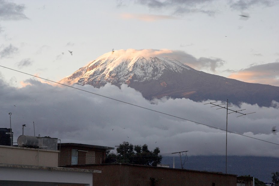
Kilimanjaro towering 5000 meters above Moshi:
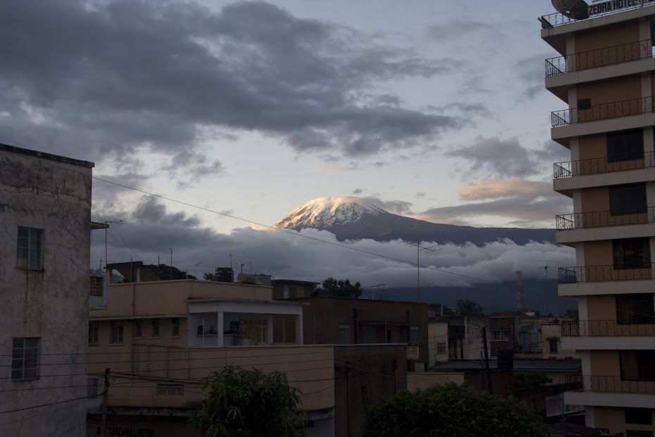
Standard Kilimanjaro trek takes 5 days - 3,5 up and 1,5 down. I suck at altitude - literally. I’ve been to altitudes above 5000 meters in Tibet, Ladakh, Karakoram and Altiplano and almost always ended up gasping for breath with bad headache and occasional throw up. So I opted for a 6 day trek - the extra day giving me more time to acclimatise. It cost more but I was happy to pay to increase my chances of making it to the top - which is not guaranteed by any chance. I’m not sure there is anywhere else in the world where you have to climb 5 altitude km from the feet of the mountain to the top.
There are number of different routes to the top - the easiest main one being nicknamed ‘Coca Cola route’. Being the snob I am, I would normally opt for one of the less travelled more difficult alternative routes but, after short deliberation about my prior high altitude fails (I tried to climb 6000 meters mountain in Bolivia and didn’t make it), I have decided to be safe and take the Coca Cola route. Being the least strenuous it also provided cottages for sleepovers, while other routes required camping - with more stuff to lug around and hence more porters. And it was a rain season - I didn’t fancy sleeping for 5 nights in freezing temperatures in a wet tent.
We agreed on the route and price, but not the departure date. I was keen to start next day, but they were non-committal, as they yet didn’t yet have enough tourists for a group for next day - they pool people together from different agencies to split the costs. I have prepared and packed for next day departure anyway to be ready should other hikers show up and went to bed.
They managed to get a group together, so late next morning I boarded minibus for the ride to the Kilimanjaro national park about 20 km away. On the way we picked up the other 3 hikers - 2 ladies and 1 man. They were together volunteering in a Tanzanian hospital somewhere in the sticks - 2 of them were doctors and 1 a british nurse Hannah. An interesting fact - Hannah once dated a heir of the Cadbury chocolate company, which for some reason I will remember till I die. In stark contrast, the names of the two doctors - a lady doctor from Germany and gentleman from Austria, who both helped me great deal when I got sick on the way down, sadly completely elude me (though I have an inkling that the guy’s name was Florian, so that is what I’m going to call him).
We have debussed at the gate to the NP where we met with our guides and porters - a lot of them. I didn’t start on the right foot with our guide chief a young chap of about 30. During introduction he said ‘Good luck’ to which I answered ‘And good luck to you’ to which he visibly irritated replied that his name is actually Goodluck. Now I must have bumped into this African habit of naming people with characteristics like Pretty, or Patience (the best I’ve heard was in Malawi, where a guy was called Section 5 - after the section of the hospital he was born in) before, but this was the first time when it properly sunk in.
After registration and payment of the admission fees we set-off towards the first camp about 2700 meters high. It was an easy hike raising very gently along well trodden wide track and we made it to the first camp without sweat in the late afternoon despite the late start and over 1700 altitude meters we had to climb. We were assigned into a cottage and went for a walkabout while our support group prepared dinner.
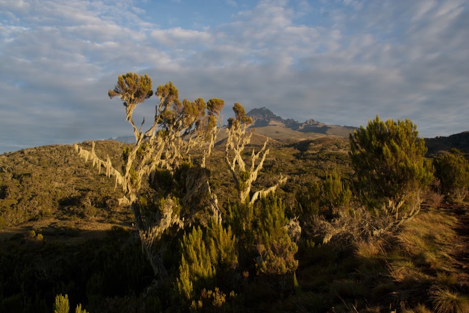
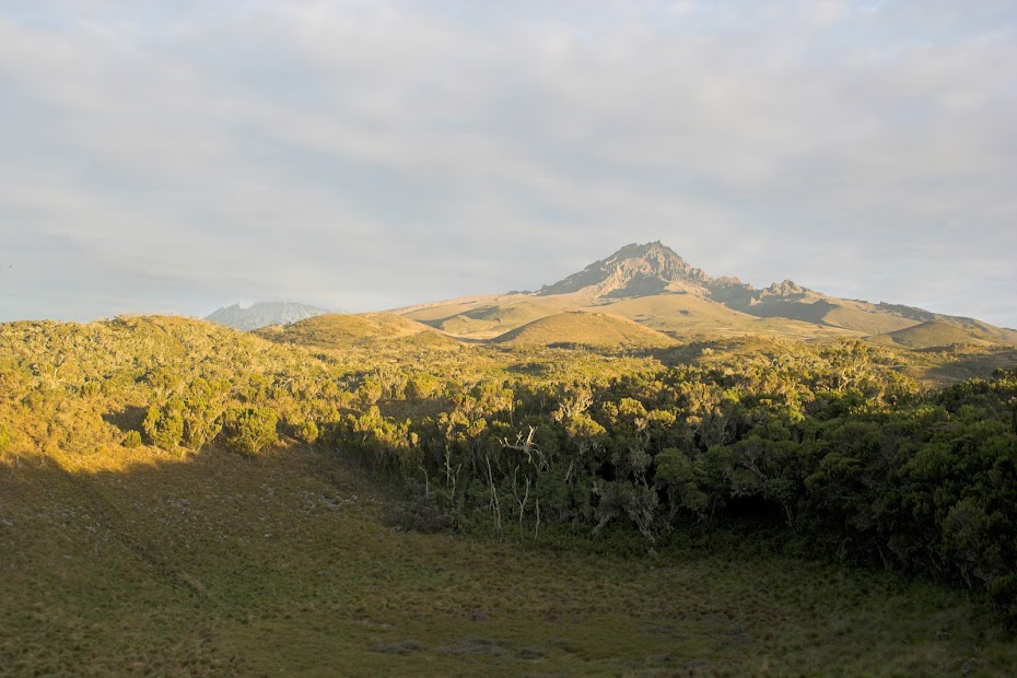
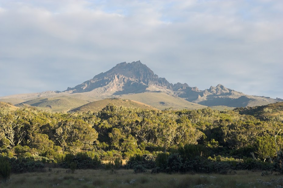
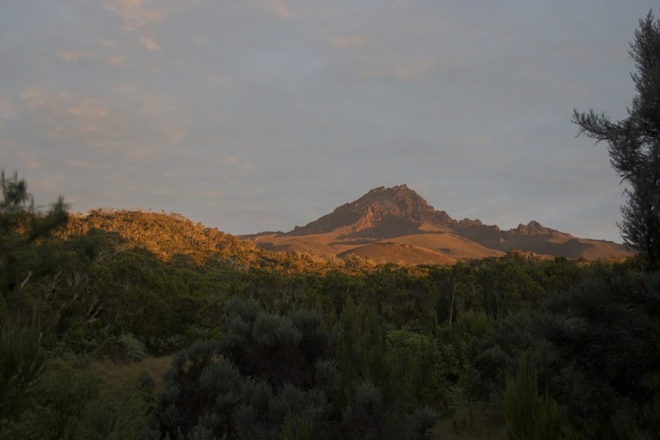
Secondary Kilimanjaro peak with the main one hidden behind to the left:
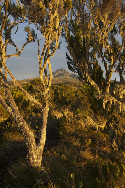
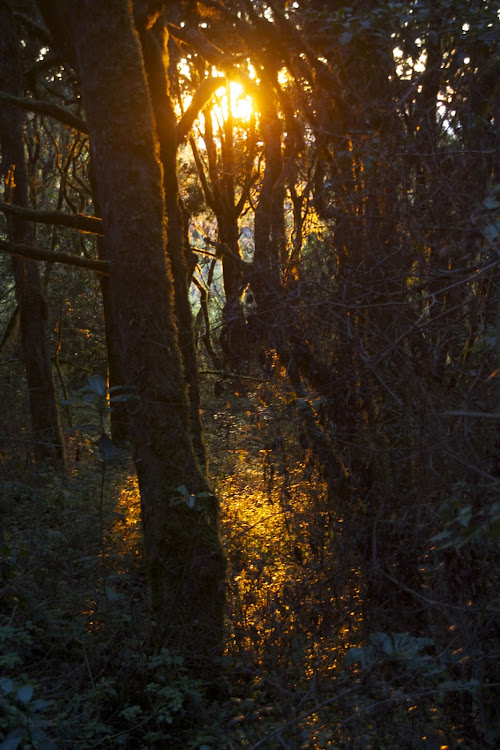
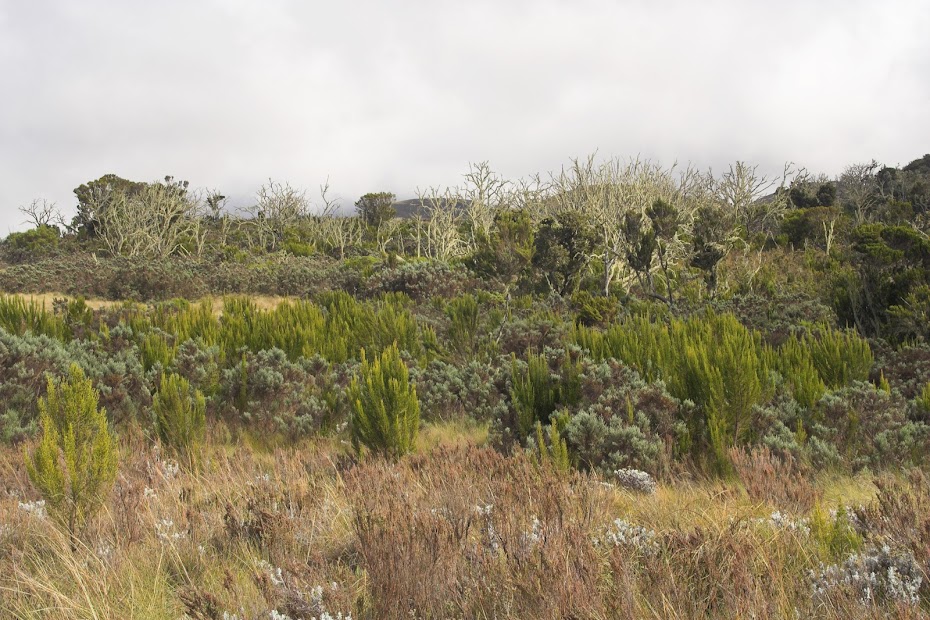
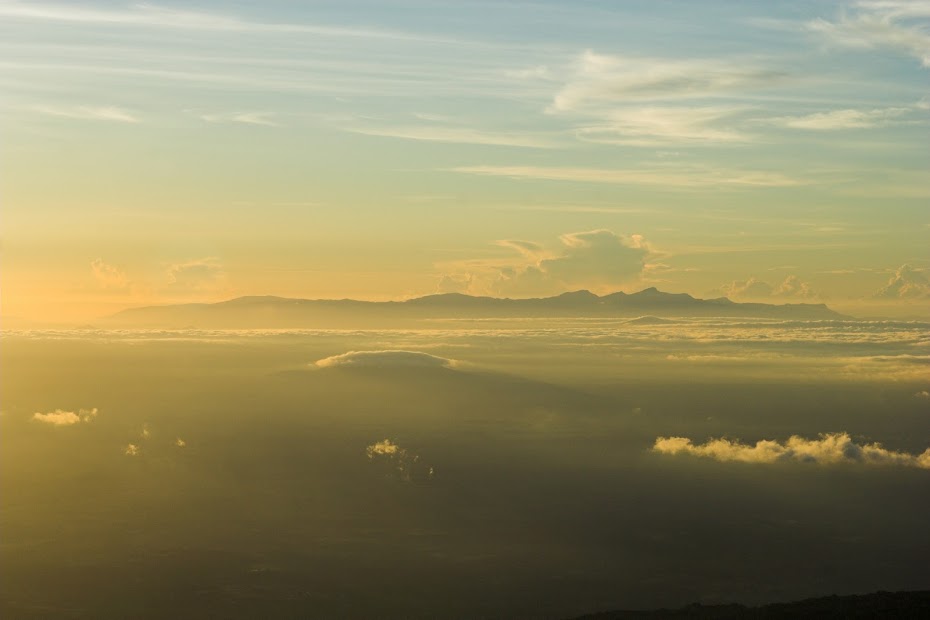
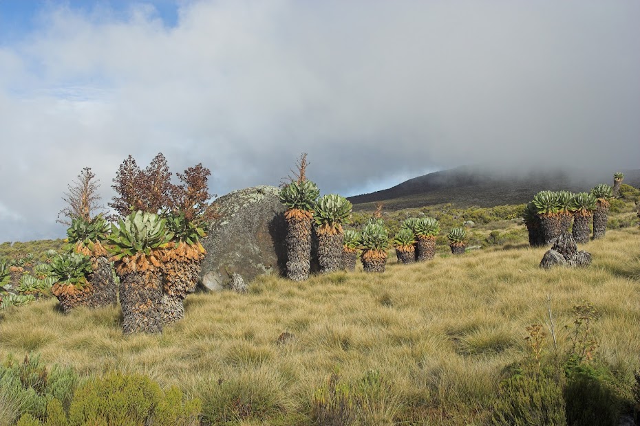
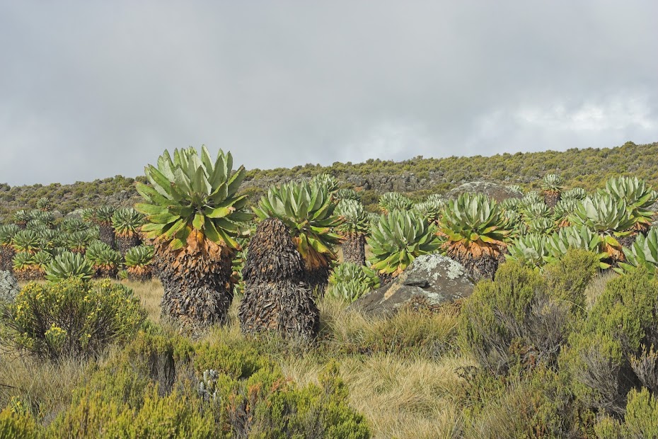
Next day we continued on the gently rising trail to the second camp at about 3700 meters. Camp with the main massive in the background:
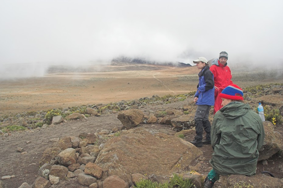
My hiking group:
On day 3 we have arrived in the early afternoon to the last camp situated at the start of the steep crater wall we were to climb to get to the rim and the top. The camp was at about 4700 meters and I was supposed to stay here on more day to acclimatize before the final push. but I already knew that they mixed me with a group that was here only for 5 days. When I found out in one of the previous days I had a word with the guide reiterating that I paid for 6 days. I could sense that he would prefer I didn’t bring it up, but he said that I may stay one more day in the top camp. As an alternative he suggested that I may attempt to go with the group and if I’m sick I may return and retry next day. I felt surprisingly good with no hint of altitude sickness so I stupidly agreed to his alternative not realizing that should I not make it first day, I will be too knackered to attempt the second anyway.
The huts with the track sneaking up the mountain behind:
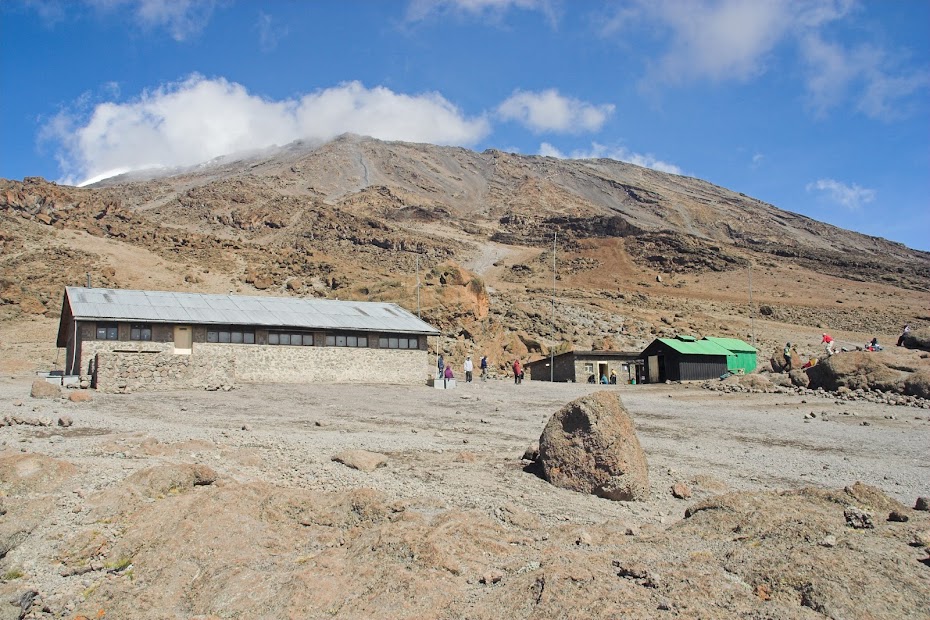
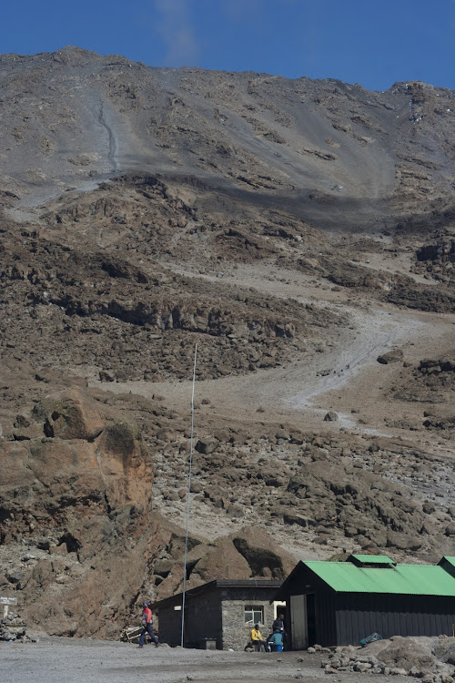
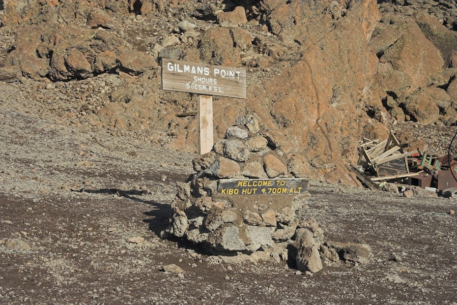
We had an early dinner and then were ushered to beds very early at about 6 pm. The reason was that we were to wake up and start climbing at midnight to make it to the top by sunrise. We all dug into our sleeping bags - as soon as the sun set-down it was freezing properly. I was feeling chuffed and strong. Not so Florian. He was suffering badly from the altitude already on our arrival and despite the rest was getting worse quickly. Eventually, it was decided to get him down asap (people die here from the altitude regularly), and he was put in his sleeping bag on a funny stretcher, which had under a center a one wheel (with suspension and all) and 4 porters set-off with him at admirable pace down with the stretcher bumping on the rocky path.
Our group, as well as all the other groups we were sharing big room with, raised at 12:00, geared up and set-off. Most of the people didn’t manage to sleep much due to the early bed-time and cold. Contrary to the prior days, we were in for a very steep over 1000 altitude meters on a loose dirt, in which after each step you slipped half a step back. This is the the steep part of the crater the one usually white on the pictures of Kilimanjaro as it used to be covered in snow. There was no snow when I was there, thanks to global warming.
We walked in almost complete darkness, the path illuminated only by dozens of head torches. We sneaked upwards slowly and I was on high alert for any sign of altitude sickness, which weren’t coming. This was proper work-out but I felt fine and despite deliberately going as slow as possible was in the leading group that separated soon from the slower core group.
That lasted to about 50 altitude meters from the rim of the crater, when the altitude sickness struck me with a vengeance. I started to feel weak, got horrible headache and my stomach started churning. I continued, but slowed down almost to a standstill, being taken over by most of the stragglers, including the two ladies from my group. I pushed on and eventually made it to the Gilman’s point at the top of the crater rim at 5681 meters. From here we were to walk another few km along the crater rim and then climb another 200 altitude meters to the top.
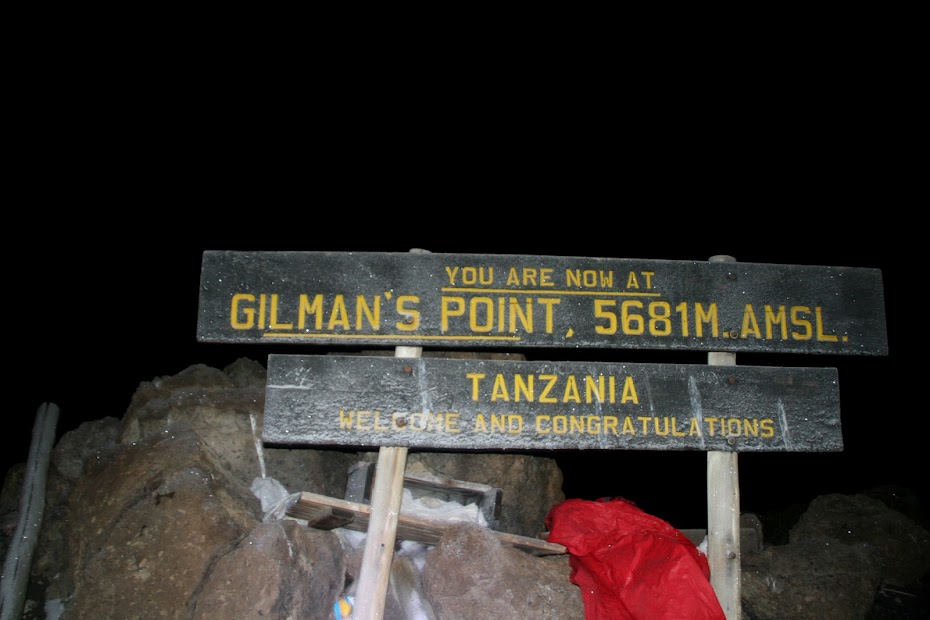
But it wasn’t going to happen for me. I was in a bad way - I have had altitude sickness enough times before to know when it is serious. And I was weak, dizzy, feeling like vomiting and of course freezing - it was still dark and probably -20 degrees Celsius. I knew it’s game over for me, but the junior guide they left with me while the rest of the group continued to the top, tried to prompt me to push on clearly worried that I will not be inclined to tip him if I do not make it. I still had enough wits about me to make very clear that it’s not going to happen and after 10 minutes or so on the top where I caught the sight of diminishing glacier in the crater, we set off down.
Soon the sunrise was upon us and my mood improved as with every step down into the more dense air my situation gradually improved.
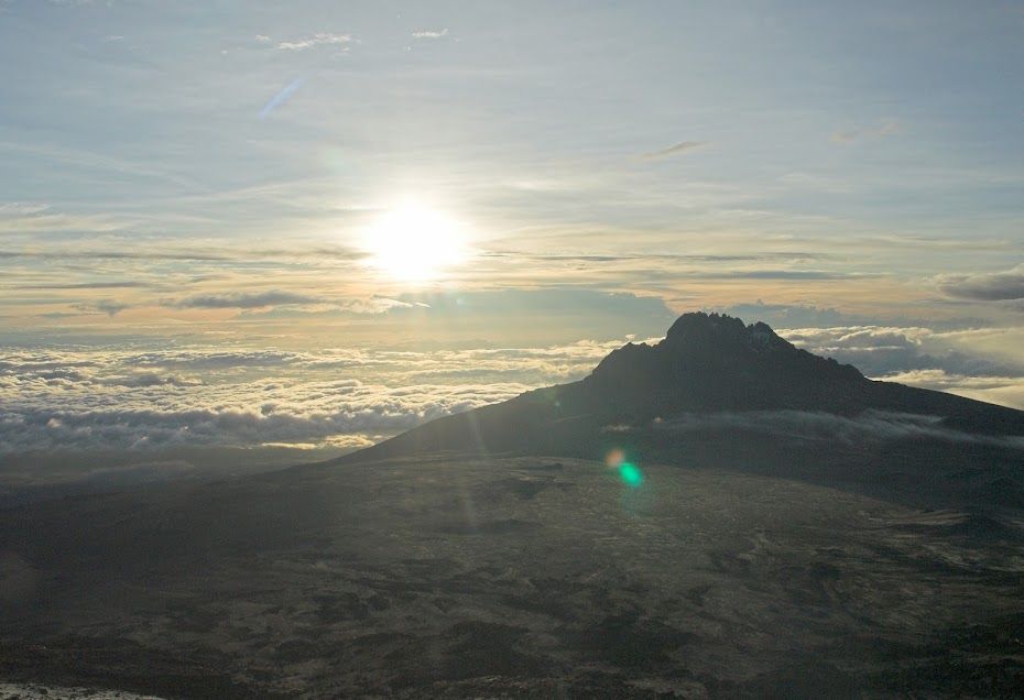
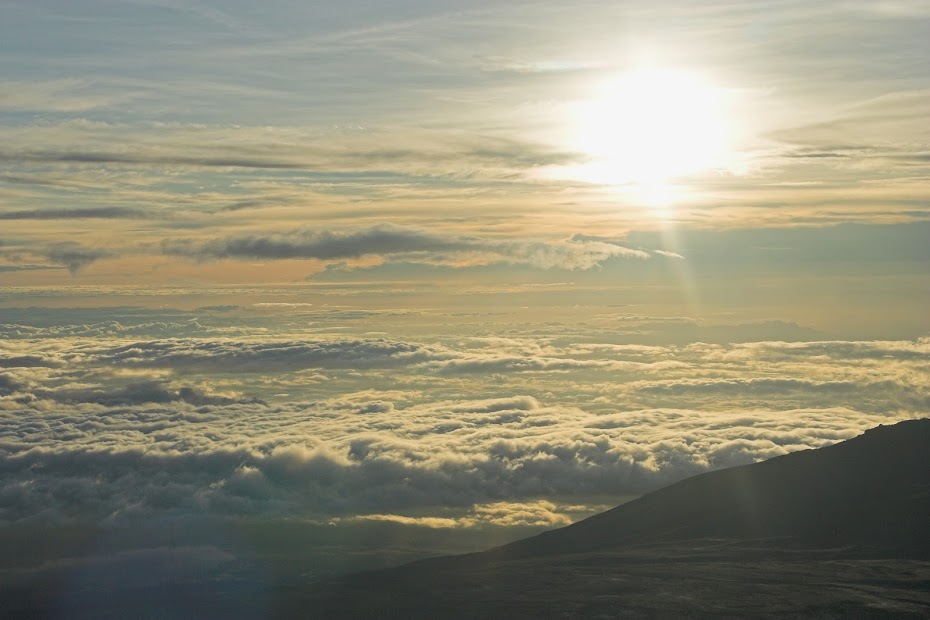
This is what remains of that trademark white snowcap - and it will be gone by lunchtime:
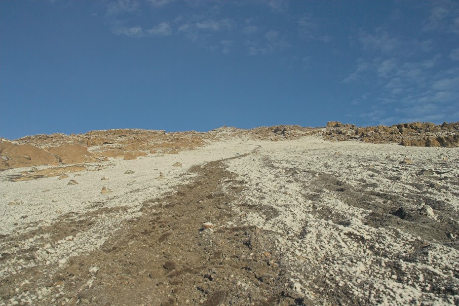
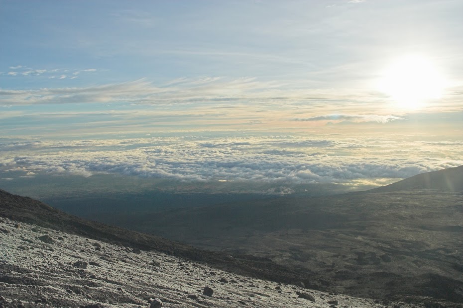
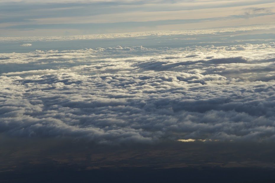
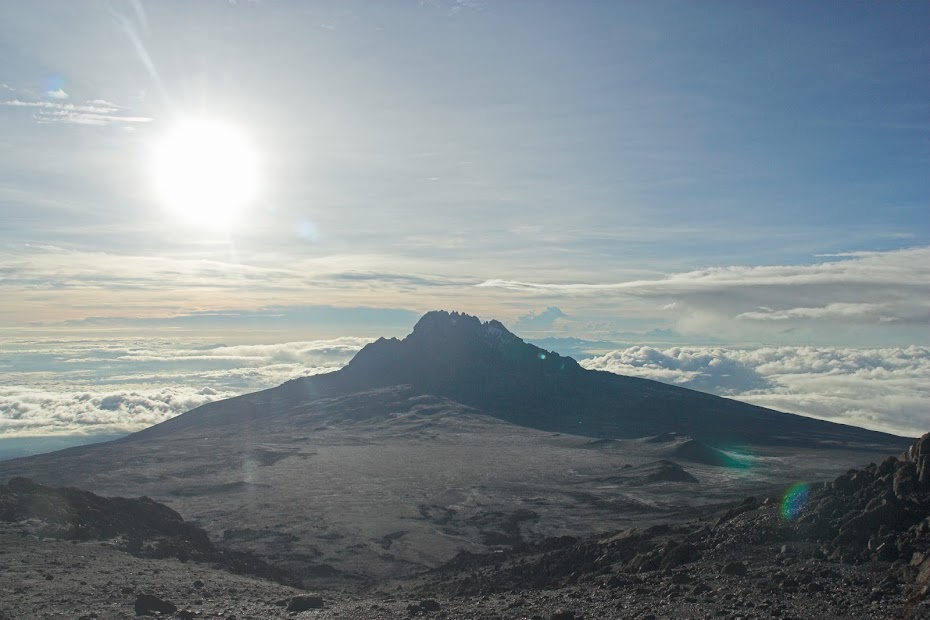
We have made it to the 3rd camp, where we waited for the rest of the group to come down from the top. Now, theoretically this was my chance for a sleepover and second attempt next day, but I knew it’s not going to happen - I just went too far today and wasted too much energy to have a repeat. Both ladies made it to the top, while both guys failed - I’m sure there is some joke about the weaker sex somewhere there. For the rest of the day we pushed on through the 2nd camp to the 1st camp for the overnighter.
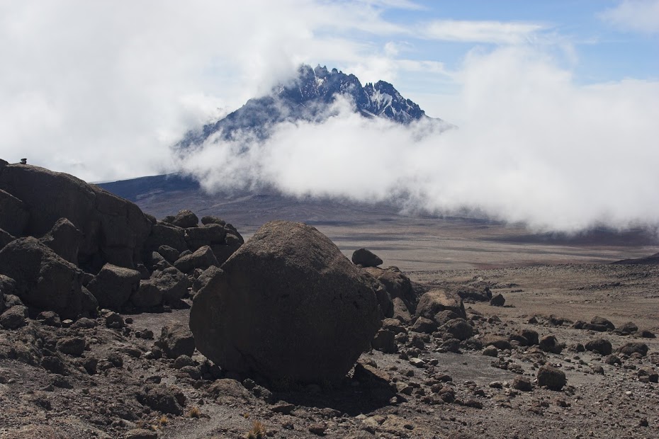
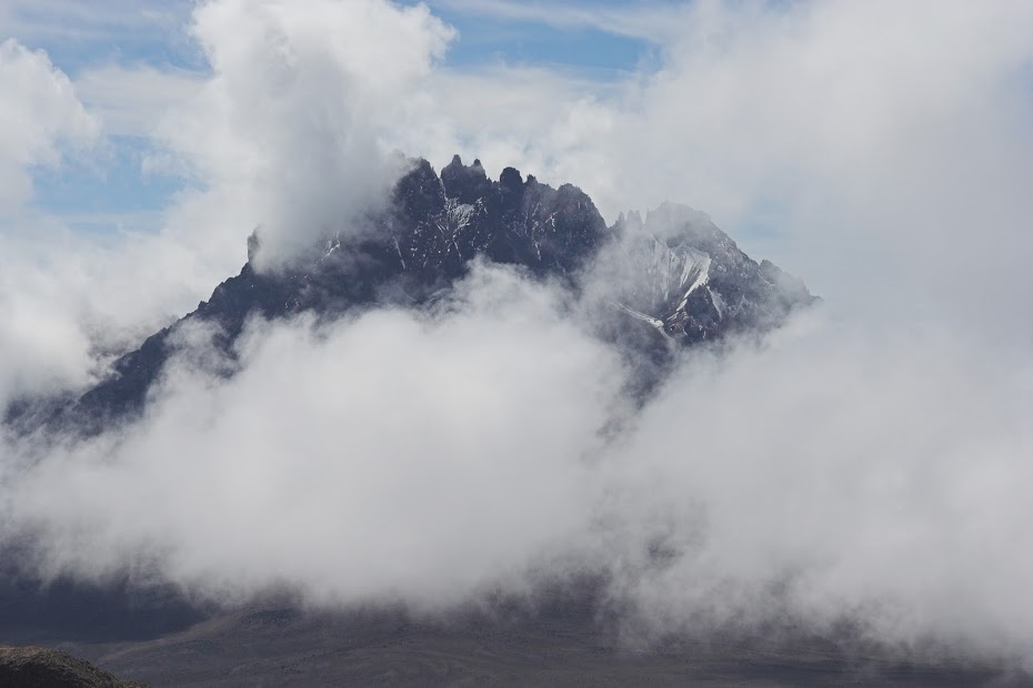
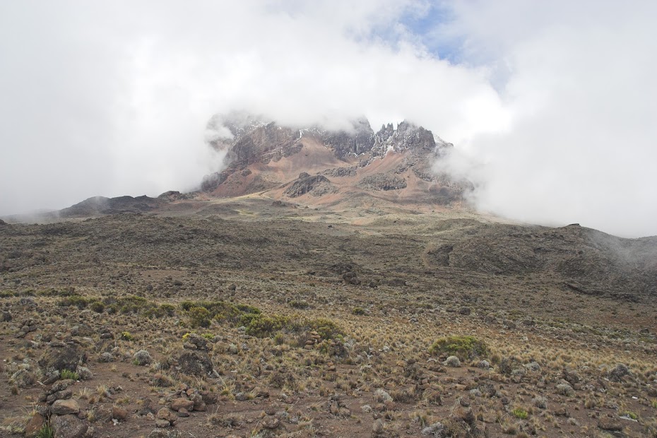
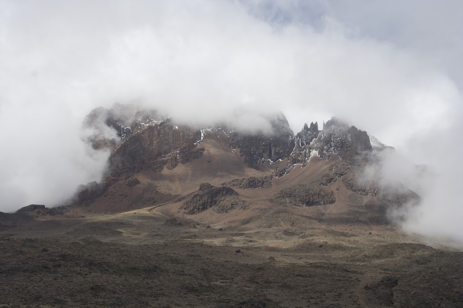
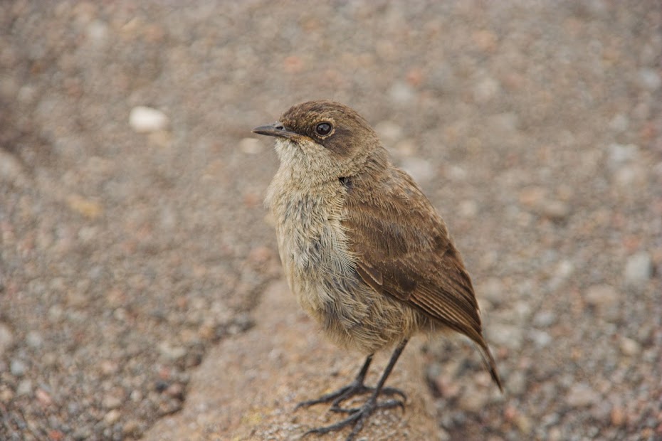
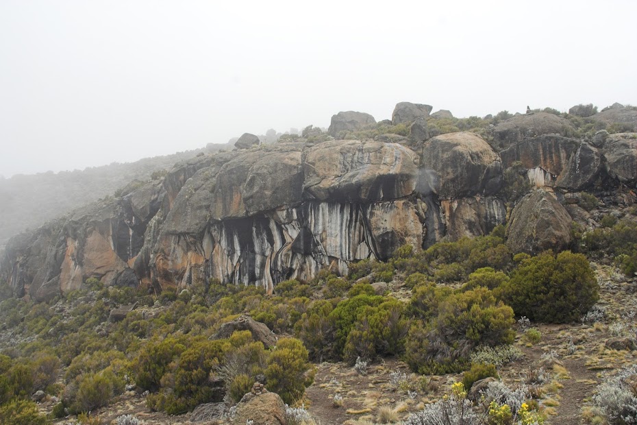
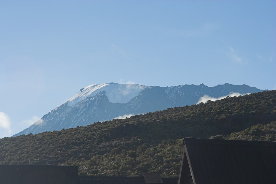
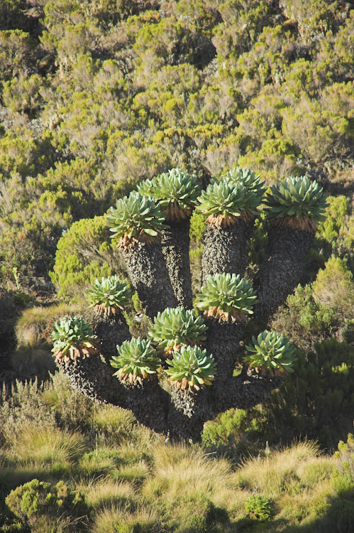
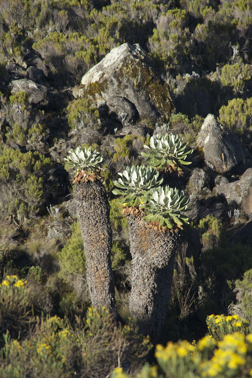
The whole group - minus Florian - on the descent with guides and porters
While I have recovered from the altitude sickness, some nasty virus/bacteria (I have a sneaky suspicion that we have run out of the water that has been boiled and the guides gave untreated water from a stream) - probably in combination with dehydration - latched into my weakened self and I got proper nausea and fever. I thought a good night sleep will take care of it, but in the morning I felt only marginally better. I have managed to walk down the the reception where we were to be picked up by bus, but I just turned into a pile of jelly on the ground. I haven’t been this weak without excessive abuse of alcohol probably ever.
When the bus came the ladies and guides basically loaded me in and we returned to Moshi. Now in the last push to extract some money from the poor hikers, the groups are usually on return brought to the agency shop for a ‘celebration’ where they are of course encouraged to buy some souvenirs. They tried that with us, but laying on the seat I told them in uncertain terms to take me straight to the hotel, which they eventually did. Once there I said feeble goodbye to the ladies and crawled into my room to die.
Later on somebody knocked on my door, and it was Florian - now fully recovered - who came to check-up on me as a good doctor he is. He gave me some pills that I took and managed to survive the day between bed and toilet. Next day he checked on me keen to take me to the hospital, but luckily started to improve gradually. I’ve spent one or two more days doing bugger all in the hotel room until I recovered enough to start moving again.
By now I felt ready for another break from this overlanding business. The logical solution would be to ride down Dar es Salaam and spent a week or on the beaches of Zanzibar. But I was keen on exploration and rather craved something familiar. So instead I decided still a bit feverish to backtrack a bit illogically 350 km back to Nairobi for another lay-about in the Jungle Junction.
Moshi is a town sitting at the foot of Kilimanjaro, at 5895 meters highest mountain in Africa and highest freestanding mountain in the world. As a base for the Kilimanjaro treks the whole town is geared towards the tourists keen to pay lots of money for high-altitude headache, vomit and frostbite. The town’s main revenue sources are hotels, souvenir trinket shops and agents organizing the Kili trek.
I have arrived from Ol Doinyo Lengai in the late afternoon and found accommodation in one of the many guesthouses along the main road. I was immediately hassled vigorously by swarms of hustlers trying to sell me the Kili trek. In a country devoid of opportunities, Kili provides one of the few rare places to make buck and therefore attracts disproportionately more sellers than buyers, with all the attendant hassle. They were not allowed up into the rooms, so I managed to get my luggage up to my room and get out of the biking gear and then headed back down to face the gauntlet and arrange the trek. With the benefit of hindsight I should have probably go to one of the upscale hotels and organize the trip through them, but I felt street-wise enough to be able to deal with these hustlers associated loosely with one of the few independent trek providers. I have picked the least untrustworthy looking guy and he took me to their nearby office to discuss specifics.
Kilimanjaro towering 5000 meters above Moshi:


Standard Kilimanjaro trek takes 5 days - 3,5 up and 1,5 down. I suck at altitude - literally. I’ve been to altitudes above 5000 meters in Tibet, Ladakh, Karakoram and Altiplano and almost always ended up gasping for breath with bad headache and occasional throw up. So I opted for a 6 day trek - the extra day giving me more time to acclimatise. It cost more but I was happy to pay to increase my chances of making it to the top - which is not guaranteed by any chance. I’m not sure there is anywhere else in the world where you have to climb 5 altitude km from the feet of the mountain to the top.
There are number of different routes to the top - the easiest main one being nicknamed ‘Coca Cola route’. Being the snob I am, I would normally opt for one of the less travelled more difficult alternative routes but, after short deliberation about my prior high altitude fails (I tried to climb 6000 meters mountain in Bolivia and didn’t make it), I have decided to be safe and take the Coca Cola route. Being the least strenuous it also provided cottages for sleepovers, while other routes required camping - with more stuff to lug around and hence more porters. And it was a rain season - I didn’t fancy sleeping for 5 nights in freezing temperatures in a wet tent.
We agreed on the route and price, but not the departure date. I was keen to start next day, but they were non-committal, as they yet didn’t yet have enough tourists for a group for next day - they pool people together from different agencies to split the costs. I have prepared and packed for next day departure anyway to be ready should other hikers show up and went to bed.
They managed to get a group together, so late next morning I boarded minibus for the ride to the Kilimanjaro national park about 20 km away. On the way we picked up the other 3 hikers - 2 ladies and 1 man. They were together volunteering in a Tanzanian hospital somewhere in the sticks - 2 of them were doctors and 1 a british nurse Hannah. An interesting fact - Hannah once dated a heir of the Cadbury chocolate company, which for some reason I will remember till I die. In stark contrast, the names of the two doctors - a lady doctor from Germany and gentleman from Austria, who both helped me great deal when I got sick on the way down, sadly completely elude me (though I have an inkling that the guy’s name was Florian, so that is what I’m going to call him).
We have debussed at the gate to the NP where we met with our guides and porters - a lot of them. I didn’t start on the right foot with our guide chief a young chap of about 30. During introduction he said ‘Good luck’ to which I answered ‘And good luck to you’ to which he visibly irritated replied that his name is actually Goodluck. Now I must have bumped into this African habit of naming people with characteristics like Pretty, or Patience (the best I’ve heard was in Malawi, where a guy was called Section 5 - after the section of the hospital he was born in) before, but this was the first time when it properly sunk in.
After registration and payment of the admission fees we set-off towards the first camp about 2700 meters high. It was an easy hike raising very gently along well trodden wide track and we made it to the first camp without sweat in the late afternoon despite the late start and over 1700 altitude meters we had to climb. We were assigned into a cottage and went for a walkabout while our support group prepared dinner.
Secondary Kilimanjaro peak with the main one hidden behind to the left:


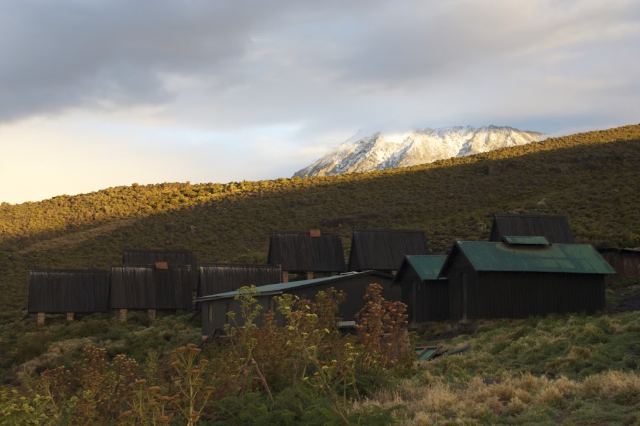
Next day we continued on the gently rising trail to the second camp at about 3700 meters. Camp with the main massive in the background:


My hiking group:

On day 3 we have arrived in the early afternoon to the last camp situated at the start of the steep crater wall we were to climb to get to the rim and the top. The camp was at about 4700 meters and I was supposed to stay here on more day to acclimatize before the final push. but I already knew that they mixed me with a group that was here only for 5 days. When I found out in one of the previous days I had a word with the guide reiterating that I paid for 6 days. I could sense that he would prefer I didn’t bring it up, but he said that I may stay one more day in the top camp. As an alternative he suggested that I may attempt to go with the group and if I’m sick I may return and retry next day. I felt surprisingly good with no hint of altitude sickness so I stupidly agreed to his alternative not realizing that should I not make it first day, I will be too knackered to attempt the second anyway.
The huts with the track sneaking up the mountain behind:


We had an early dinner and then were ushered to beds very early at about 6 pm. The reason was that we were to wake up and start climbing at midnight to make it to the top by sunrise. We all dug into our sleeping bags - as soon as the sun set-down it was freezing properly. I was feeling chuffed and strong. Not so Florian. He was suffering badly from the altitude already on our arrival and despite the rest was getting worse quickly. Eventually, it was decided to get him down asap (people die here from the altitude regularly), and he was put in his sleeping bag on a funny stretcher, which had under a center a one wheel (with suspension and all) and 4 porters set-off with him at admirable pace down with the stretcher bumping on the rocky path.
Our group, as well as all the other groups we were sharing big room with, raised at 12:00, geared up and set-off. Most of the people didn’t manage to sleep much due to the early bed-time and cold. Contrary to the prior days, we were in for a very steep over 1000 altitude meters on a loose dirt, in which after each step you slipped half a step back. This is the the steep part of the crater the one usually white on the pictures of Kilimanjaro as it used to be covered in snow. There was no snow when I was there, thanks to global warming.
We walked in almost complete darkness, the path illuminated only by dozens of head torches. We sneaked upwards slowly and I was on high alert for any sign of altitude sickness, which weren’t coming. This was proper work-out but I felt fine and despite deliberately going as slow as possible was in the leading group that separated soon from the slower core group.
That lasted to about 50 altitude meters from the rim of the crater, when the altitude sickness struck me with a vengeance. I started to feel weak, got horrible headache and my stomach started churning. I continued, but slowed down almost to a standstill, being taken over by most of the stragglers, including the two ladies from my group. I pushed on and eventually made it to the Gilman’s point at the top of the crater rim at 5681 meters. From here we were to walk another few km along the crater rim and then climb another 200 altitude meters to the top.

But it wasn’t going to happen for me. I was in a bad way - I have had altitude sickness enough times before to know when it is serious. And I was weak, dizzy, feeling like vomiting and of course freezing - it was still dark and probably -20 degrees Celsius. I knew it’s game over for me, but the junior guide they left with me while the rest of the group continued to the top, tried to prompt me to push on clearly worried that I will not be inclined to tip him if I do not make it. I still had enough wits about me to make very clear that it’s not going to happen and after 10 minutes or so on the top where I caught the sight of diminishing glacier in the crater, we set off down.
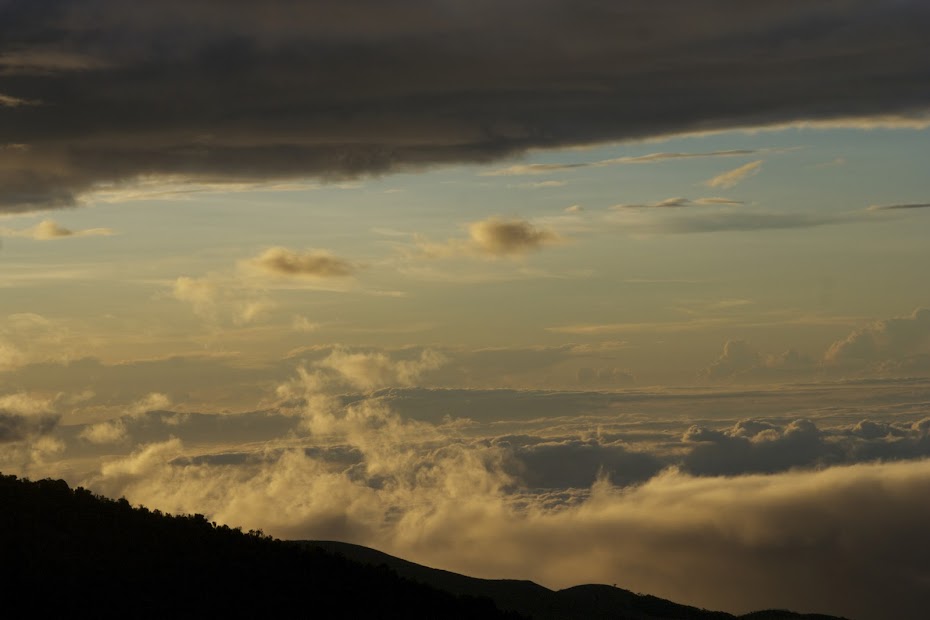
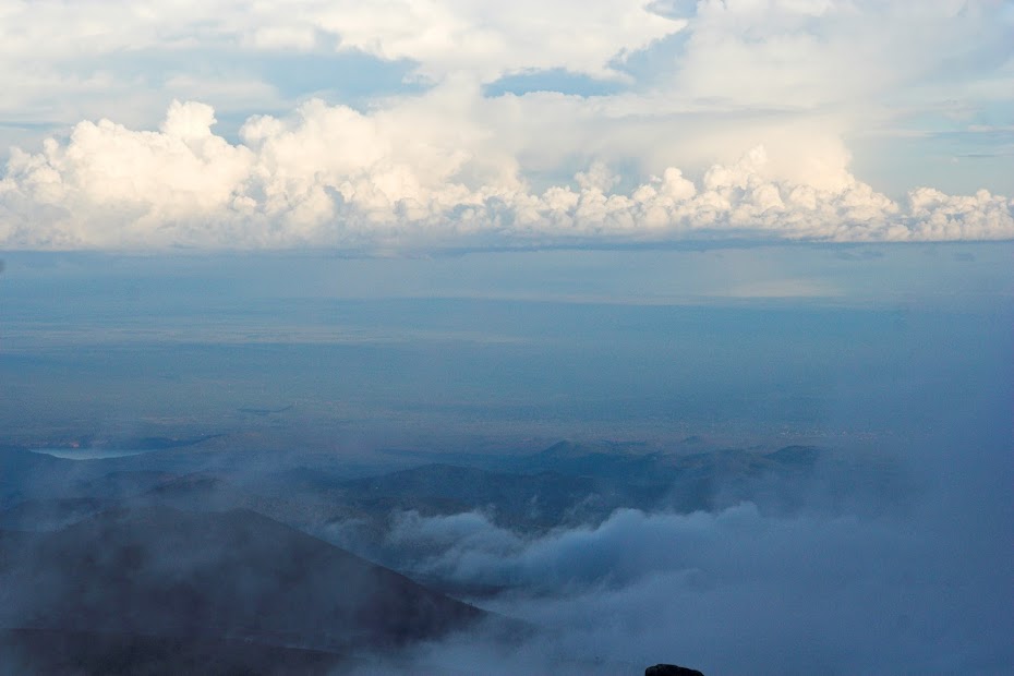
Soon the sunrise was upon us and my mood improved as with every step down into the more dense air my situation gradually improved.


This is what remains of that trademark white snowcap - and it will be gone by lunchtime:


We have made it to the 3rd camp, where we waited for the rest of the group to come down from the top. Now, theoretically this was my chance for a sleepover and second attempt next day, but I knew it’s not going to happen - I just went too far today and wasted too much energy to have a repeat. Both ladies made it to the top, while both guys failed - I’m sure there is some joke about the weaker sex somewhere there. For the rest of the day we pushed on through the 2nd camp to the 1st camp for the overnighter.


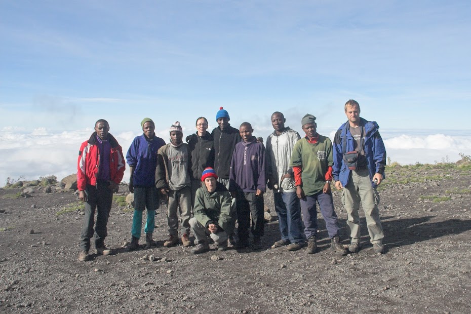
The whole group - minus Florian - on the descent with guides and porters

While I have recovered from the altitude sickness, some nasty virus/bacteria (I have a sneaky suspicion that we have run out of the water that has been boiled and the guides gave untreated water from a stream) - probably in combination with dehydration - latched into my weakened self and I got proper nausea and fever. I thought a good night sleep will take care of it, but in the morning I felt only marginally better. I have managed to walk down the the reception where we were to be picked up by bus, but I just turned into a pile of jelly on the ground. I haven’t been this weak without excessive abuse of alcohol probably ever.
When the bus came the ladies and guides basically loaded me in and we returned to Moshi. Now in the last push to extract some money from the poor hikers, the groups are usually on return brought to the agency shop for a ‘celebration’ where they are of course encouraged to buy some souvenirs. They tried that with us, but laying on the seat I told them in uncertain terms to take me straight to the hotel, which they eventually did. Once there I said feeble goodbye to the ladies and crawled into my room to die.
Later on somebody knocked on my door, and it was Florian - now fully recovered - who came to check-up on me as a good doctor he is. He gave me some pills that I took and managed to survive the day between bed and toilet. Next day he checked on me keen to take me to the hospital, but luckily started to improve gradually. I’ve spent one or two more days doing bugger all in the hotel room until I recovered enough to start moving again.
By now I felt ready for another break from this overlanding business. The logical solution would be to ride down Dar es Salaam and spent a week or on the beaches of Zanzibar. But I was keen on exploration and rather craved something familiar. So instead I decided still a bit feverish to backtrack a bit illogically 350 km back to Nairobi for another lay-about in the Jungle Junction.
Hinksding said:Feed me! Feed me! Feed me!
I know there's going an awful lot of time into typing an RR, but please do the rest. I'll switch back to the Christmas safari for now.
There you go, as promised.
schalk vd merwe
Race Dog
XPAT fantastic photos man, very very good
shanti
Race Dog
- Joined
- Jan 27, 2009
- Messages
- 1,186
- Reaction score
- 76
- Location
- Harkerville Knysna
- Bike
- Honda CRF-1000L Africa Twin
enjoying your journey Xpat , beautiful images and great writing
rrichardson86
Race Dog
- Joined
- Dec 28, 2009
- Messages
- 1,013
- Reaction score
- 0
- Bike
- BMW R80GS
Xpat what camera did you use on your travels? A DSLR or really good compact?
I used one of the first consumer DSLRs Canon 350 D with Tamron 18-200mm, which quite frankly is handy universal lens zoom for travel, but will limit you seriously for example in low light.
While 350 was a decent camera for the time (2005), today IMO it wouldn't match up to most (if any) enthusiast compacts, such as Sony RX100, Panasonic LX100 and IMO to none of the interchangeable lenses mirror less cameras - especially in terms of low light capabilities, that really bitten me badly with gorillas and chimps - where I had to take pictures of black moving animals in dark forest on relatively small aperture of the zoomed in lens.
I'm no pro and take pictures only on the trips, but today I would go for small compact interchangeable lens camera such as M43 system like Olympus OMD EM5/Panasonic GX7, or APS-C sized sensor like Sony A6000/Fuji X series.
Similar threads
- Replies
- 8
- Views
- 388
- Replies
- 1
- Views
- 165
- Replies
- 16
- Views
- 918


