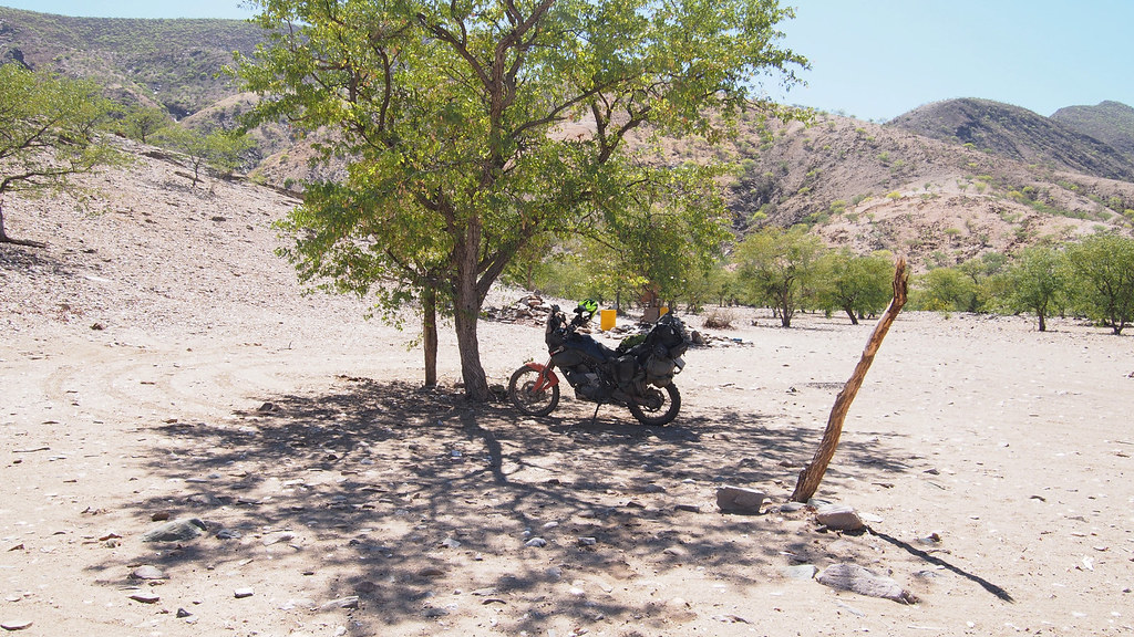
Christmas Safari 2 - 2014 Edition (Bots & Nam)

This site may earn a commission from merchant affiliate links, including eBay, Amazon, and others.
Mev Vis Arend said:
Should I be asked to describe this rr and photo’s, I won’t be able to because I do not have the appropriate words.  The closest I’ll get is just “fantastic”. 

Thanks for sharing.

We are leaving for Namibia and Botswana very soon and I just can’t wait. 

Ah, nog n lekker RR to follow soon!

8)
 
Excellent report, and damn fine riding.... well done.

sub..............
 
Day 14 - part 2


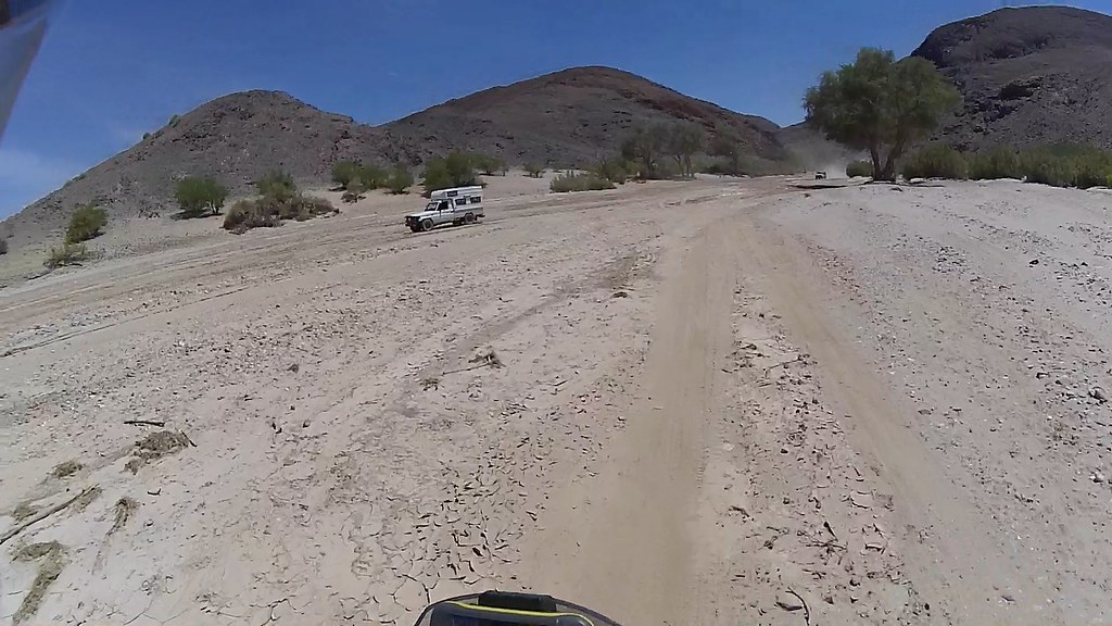
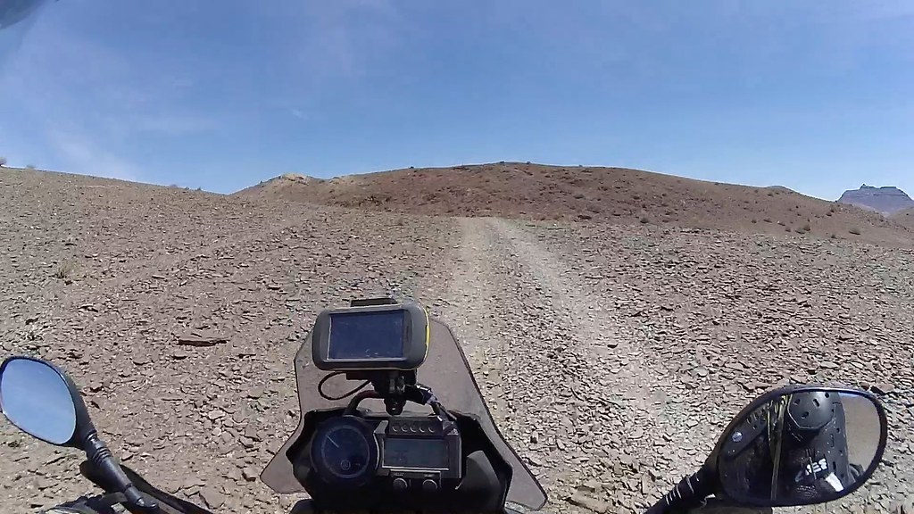
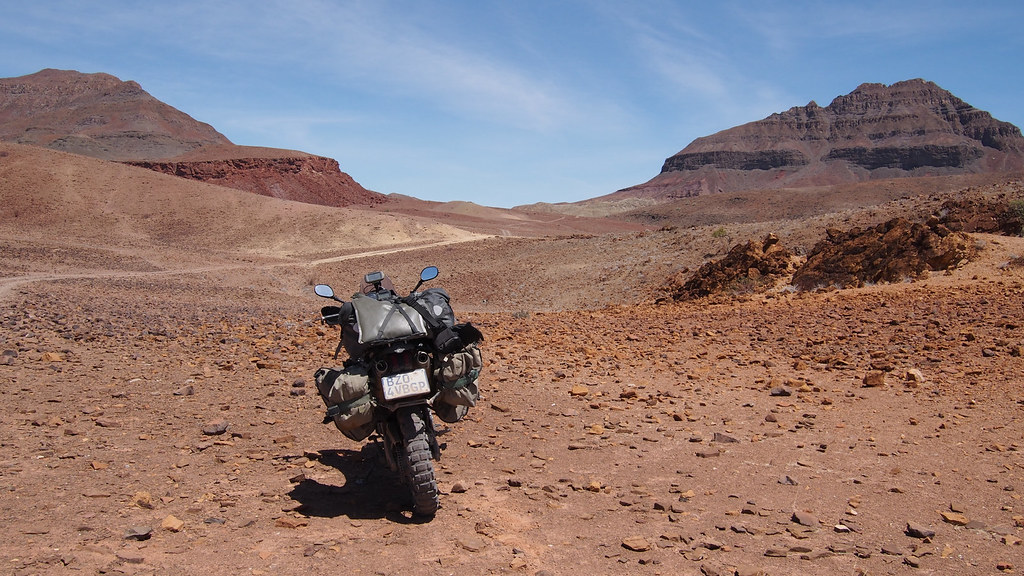
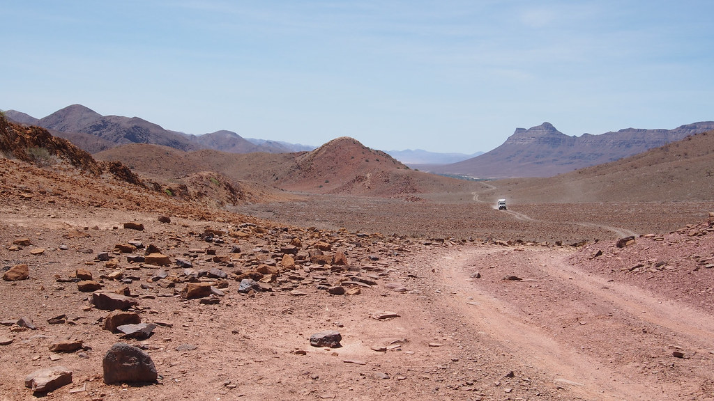
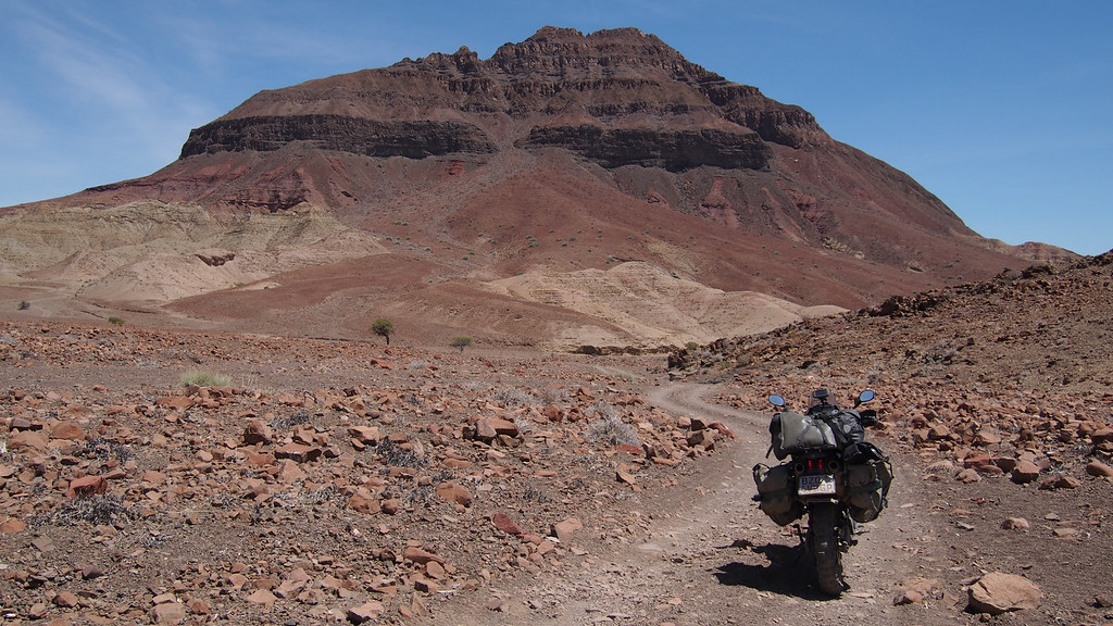
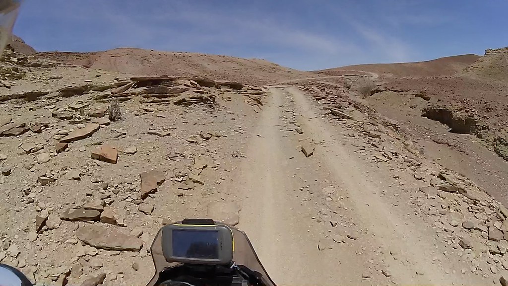
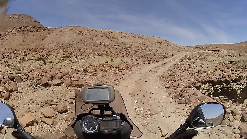
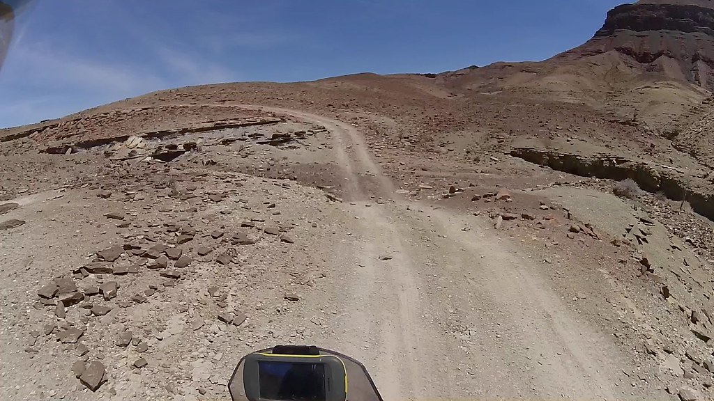
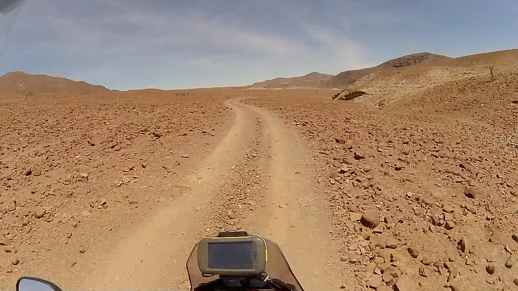
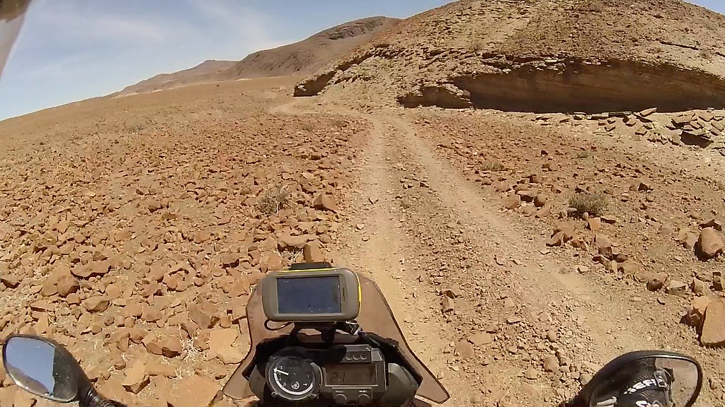
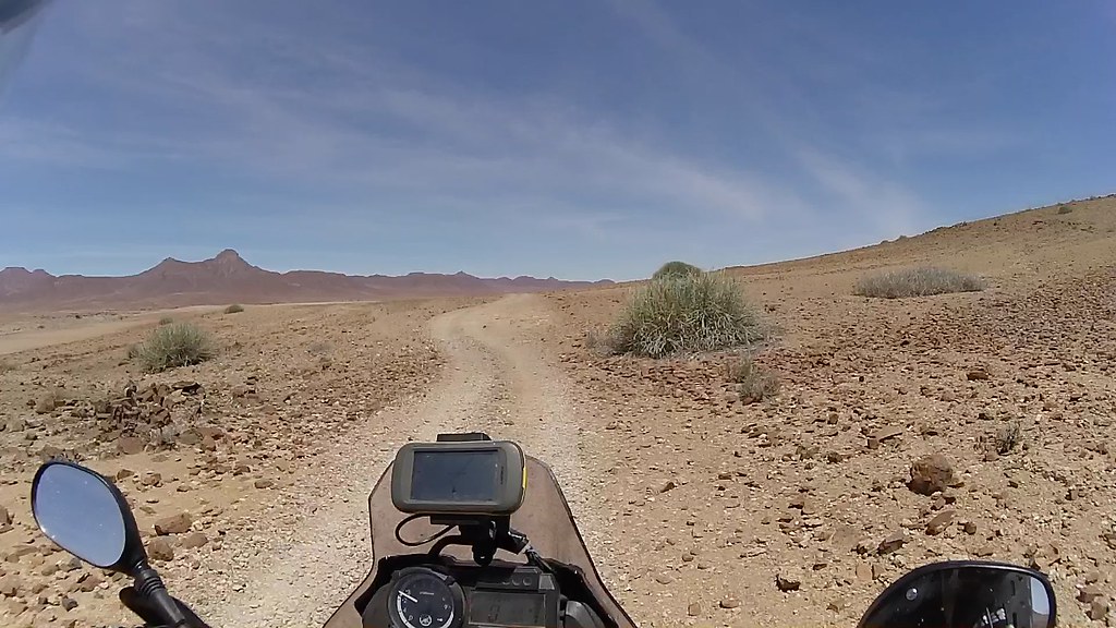
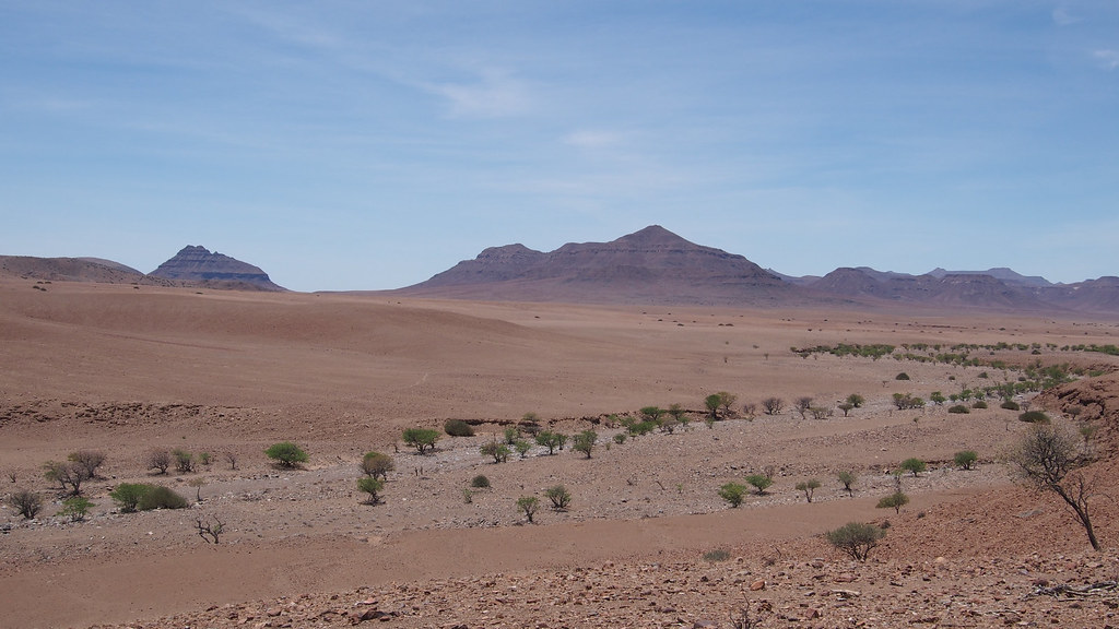
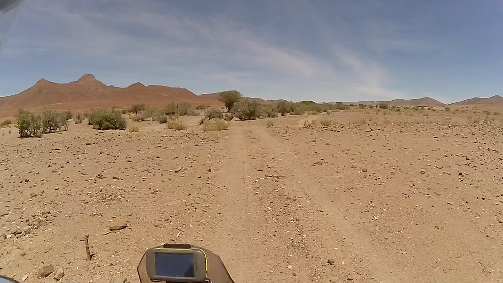
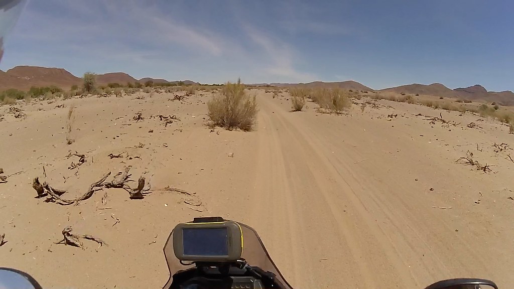
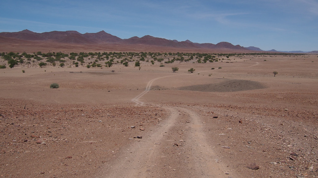
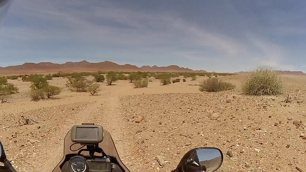
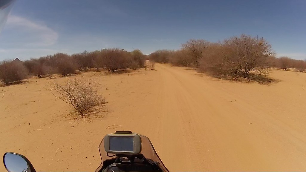
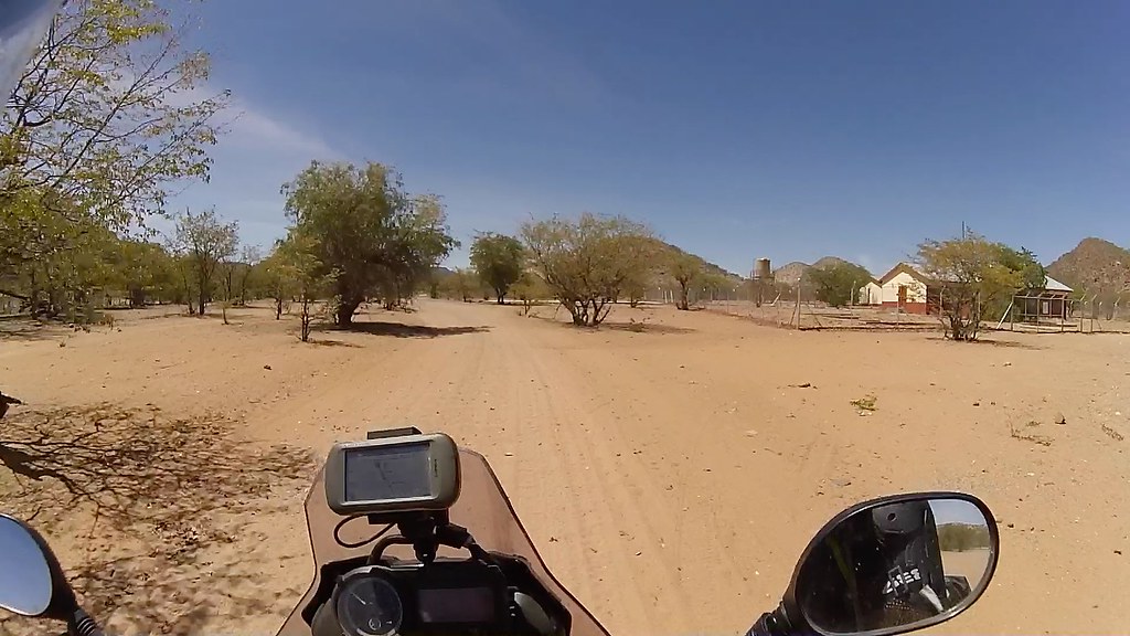
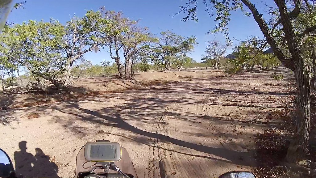
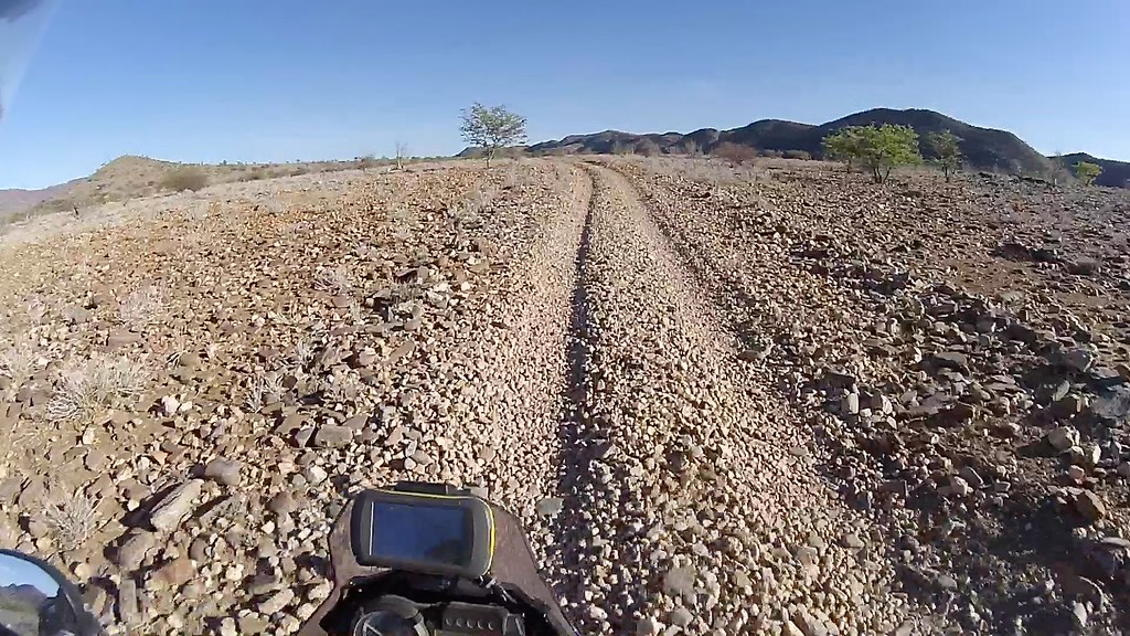
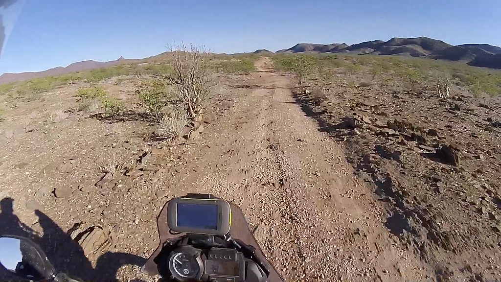
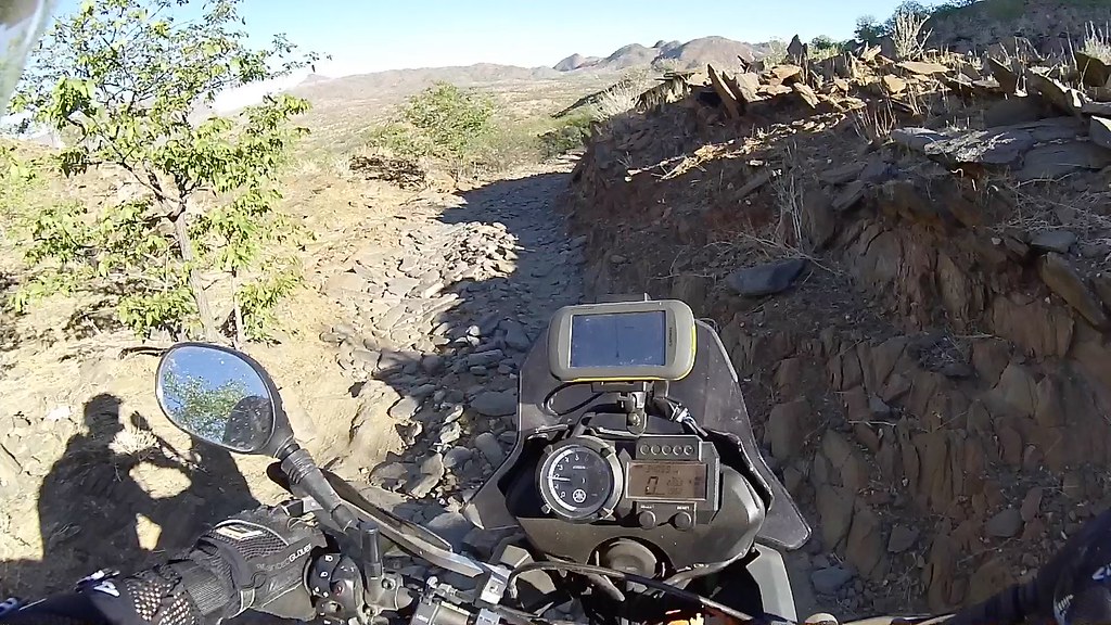
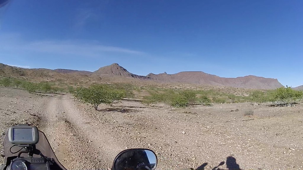
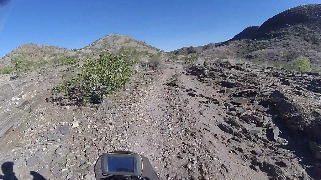
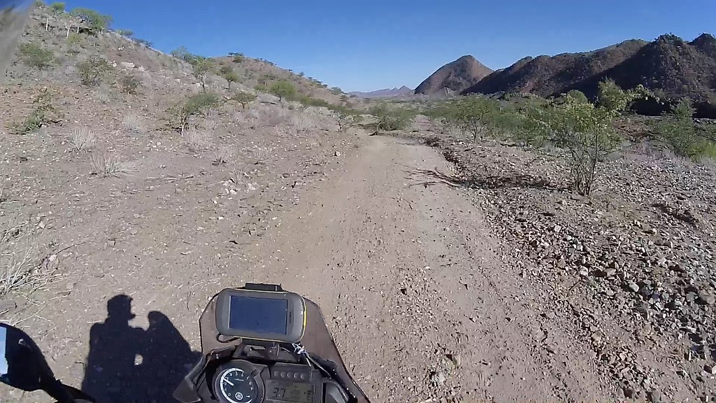
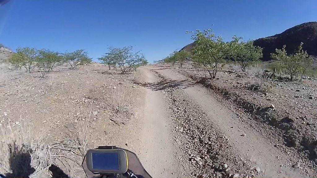
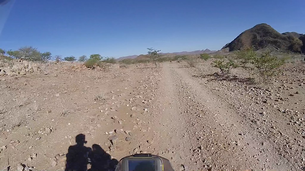
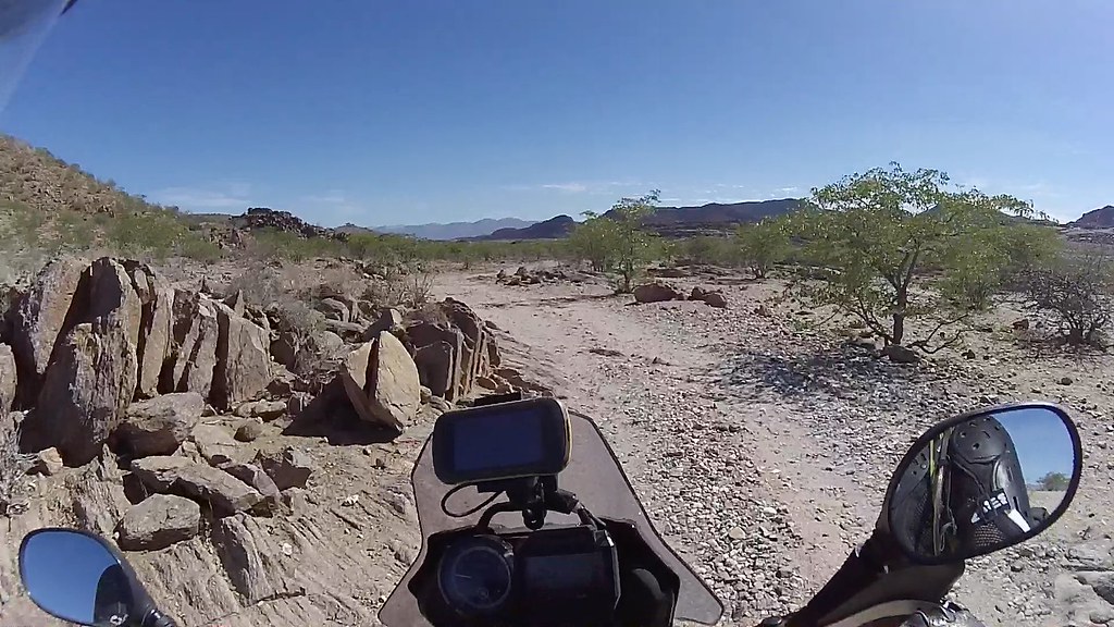
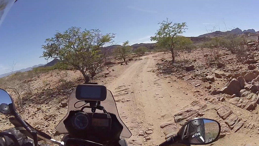
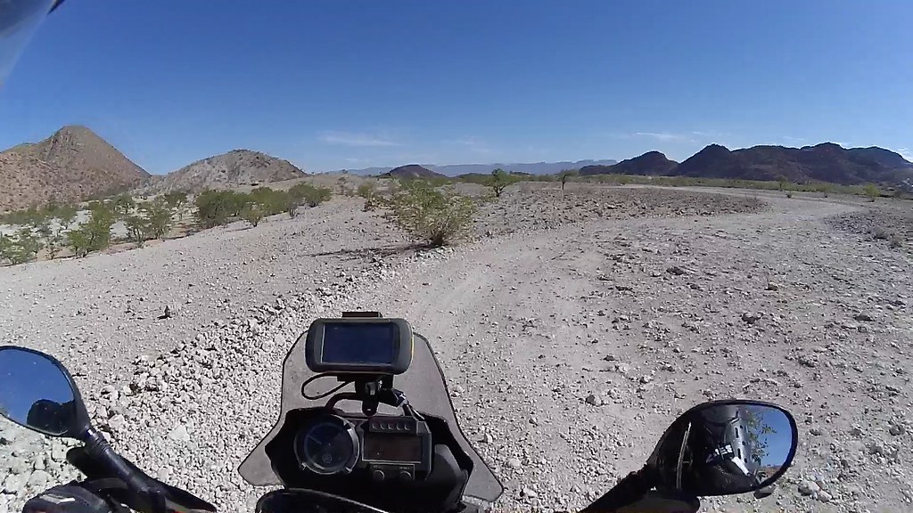
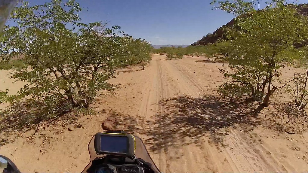
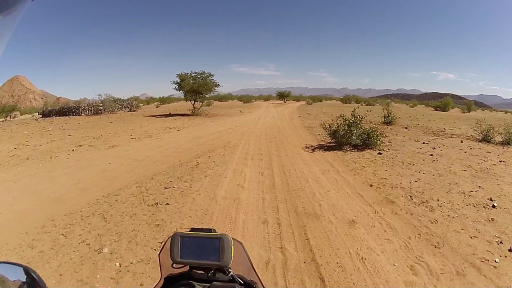
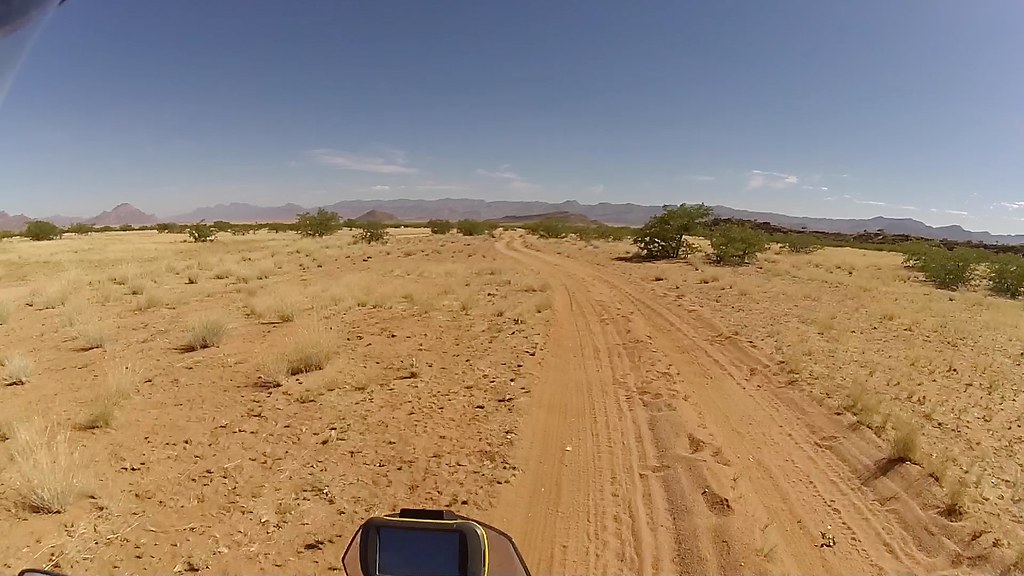
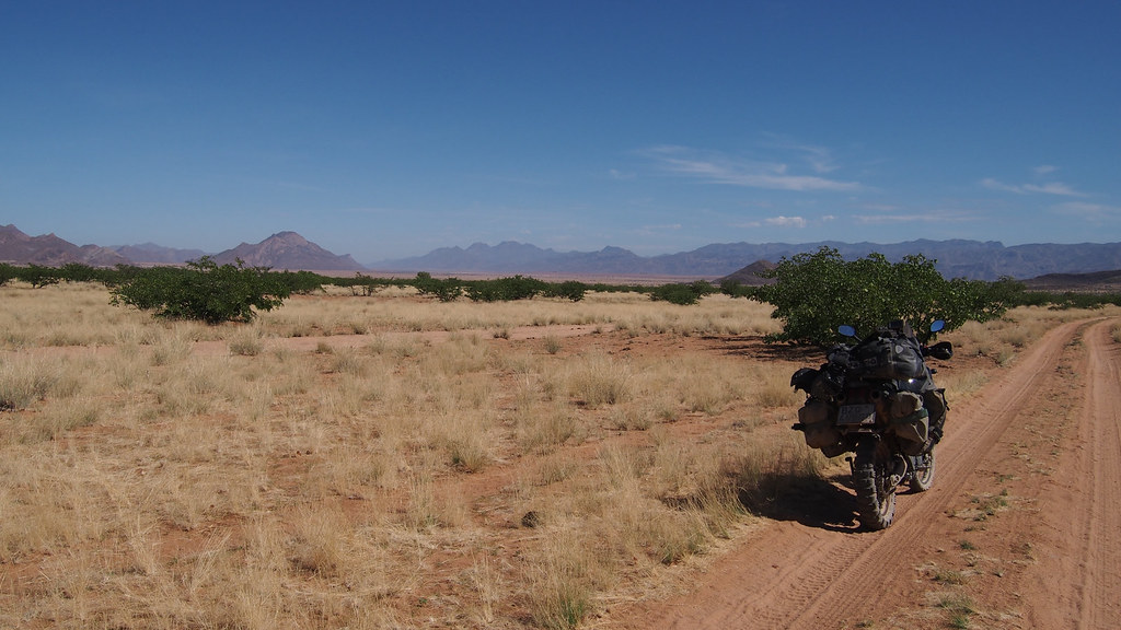
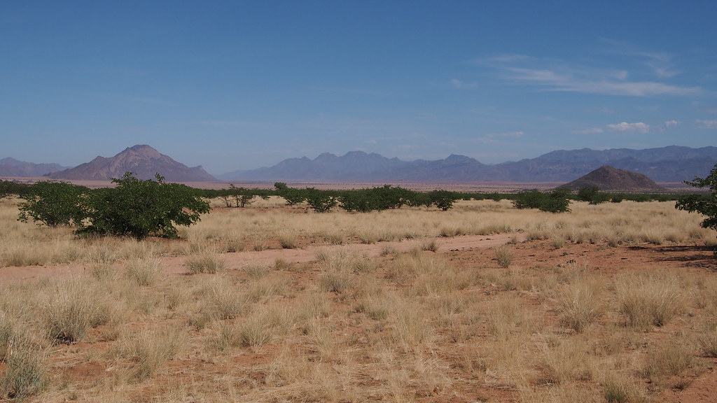
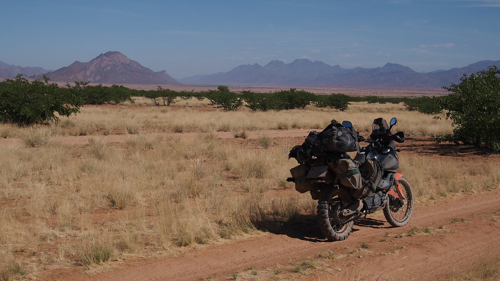
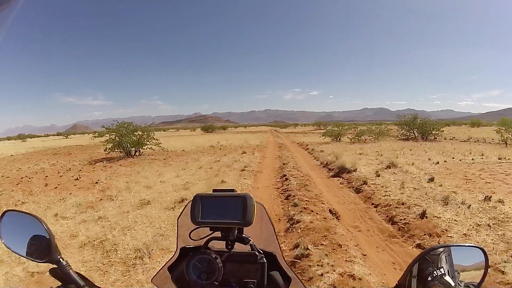
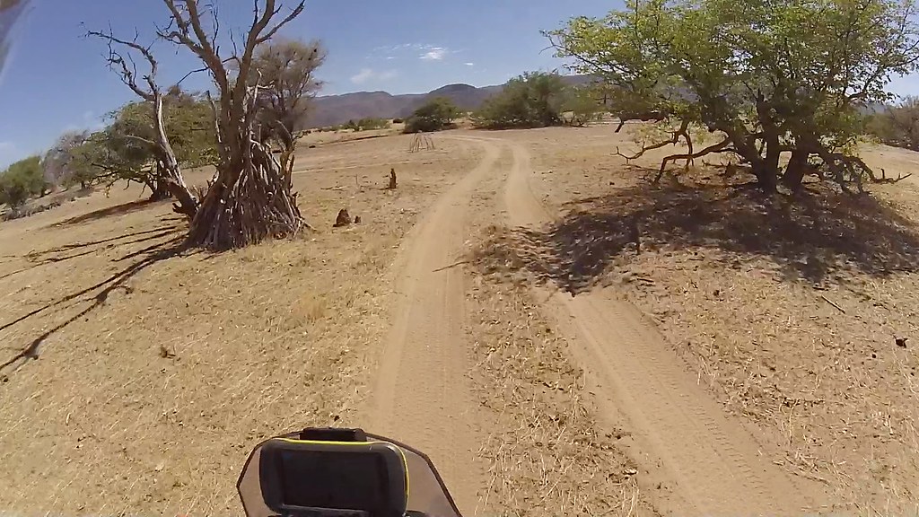
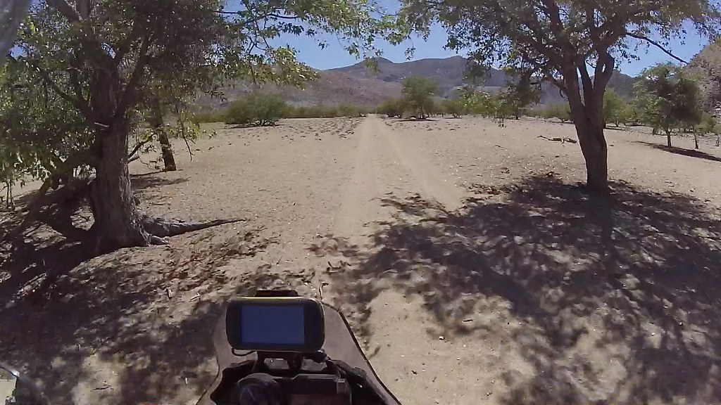
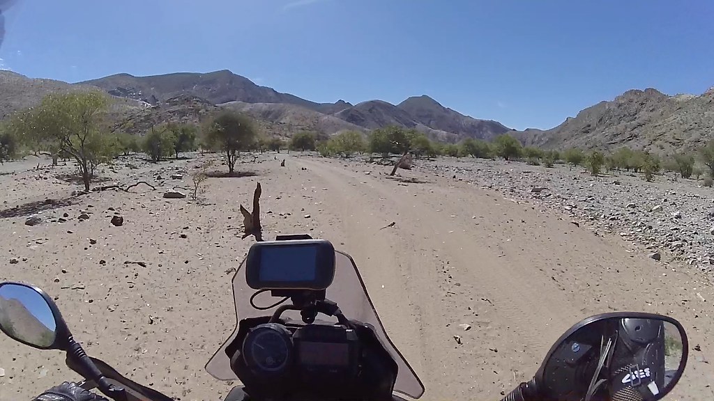
After a break, I jumped back on the bike and headed across the river to climb the pass between Huarusib and Khumib river. I've done it before, but still the change in scenery as the terrain changes from the green riverbed surrounded by sandy desert to the martian-like volcanic mountains is something to behold. Despite being much lower, the mountains resemble parts of the Altiplano around Salar de Uyuni in South America.

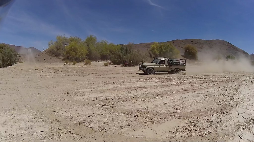
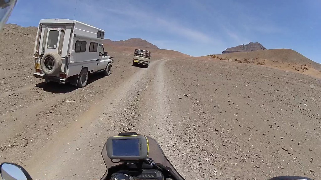
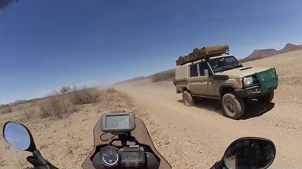
I've been beaten to the exit from the river by two Namibian farming families on vacation in two 4x4. They missed the exit from the river heading to the pass first time and had to retrace for a bit. We would take over each other few times as they and I stopped alternatively for pics and breaks - they were also heading to Marble Campsite in Onjuva.

16263732634_16e506f9a8_b.jpg


16698716090_96a4c87728_b.jpg


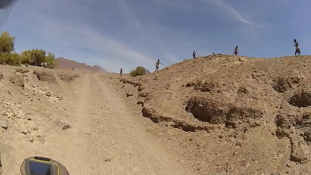
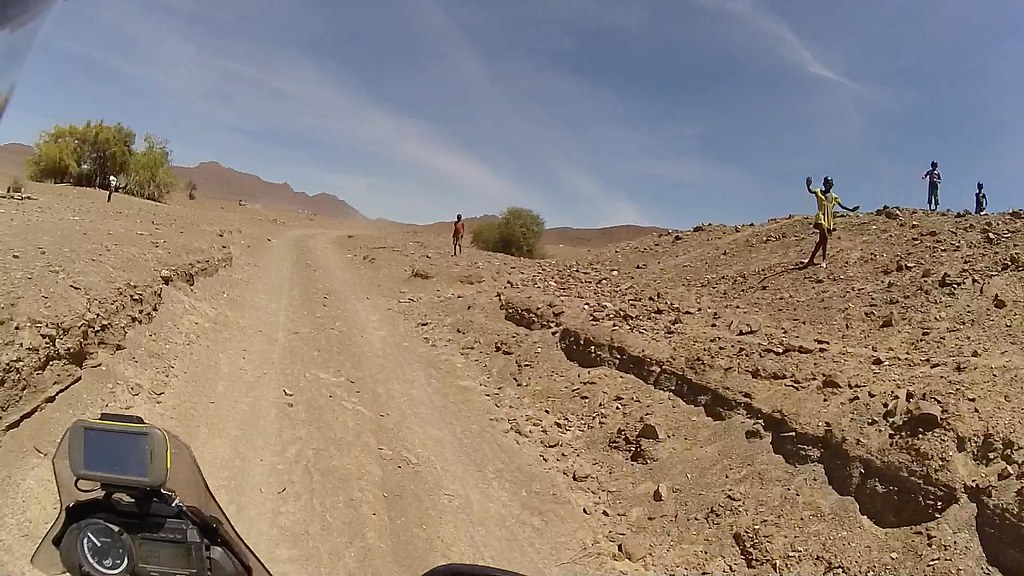
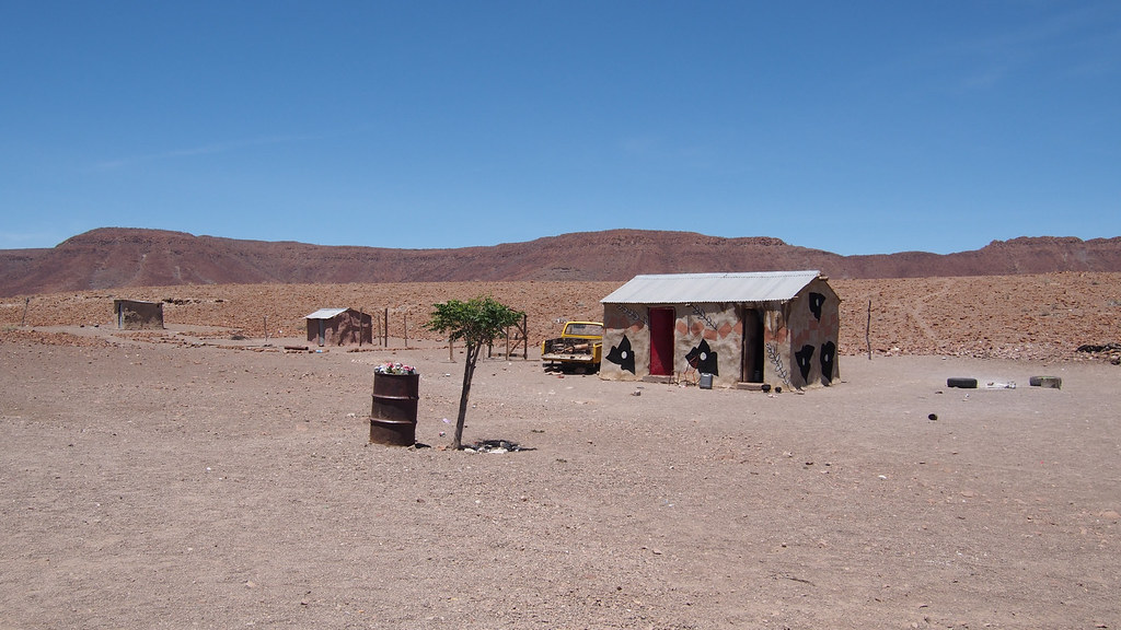
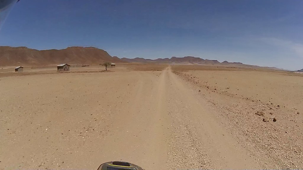
For some unfathomable reason there are people living in few huts in the barren desert next to the exit and the kids couldn't resist the entertainment provided by those weird whiteys in staggeringly expensive vehicles, who's idea of fun is to ride in the middle of summer through dust and rocks, and sleep in tents eating smash, rather than go for an all inclusive beach holiday as any sensible Himba would do (well that's at least what Himba in me would do - but the Czech in me says naaah):

16698717370_74bce4f2aa_b.jpg


16263736234_513db8d3d5_b.jpg

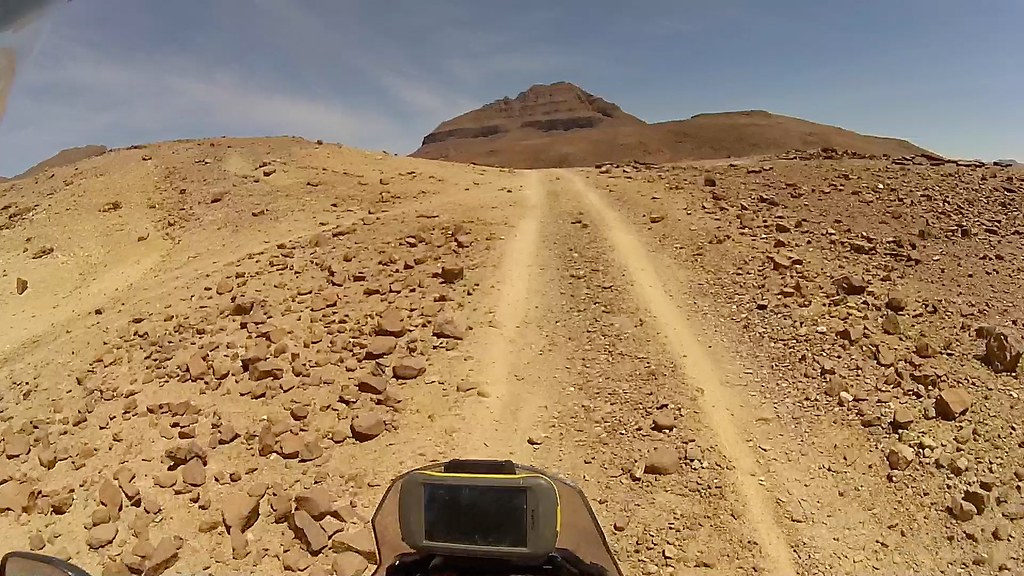
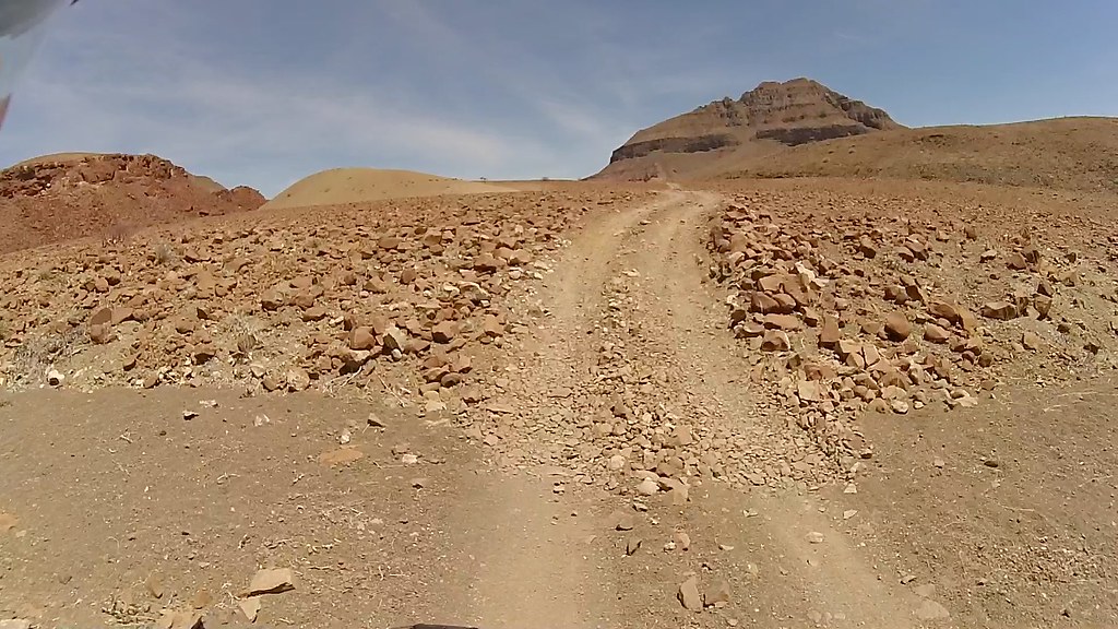
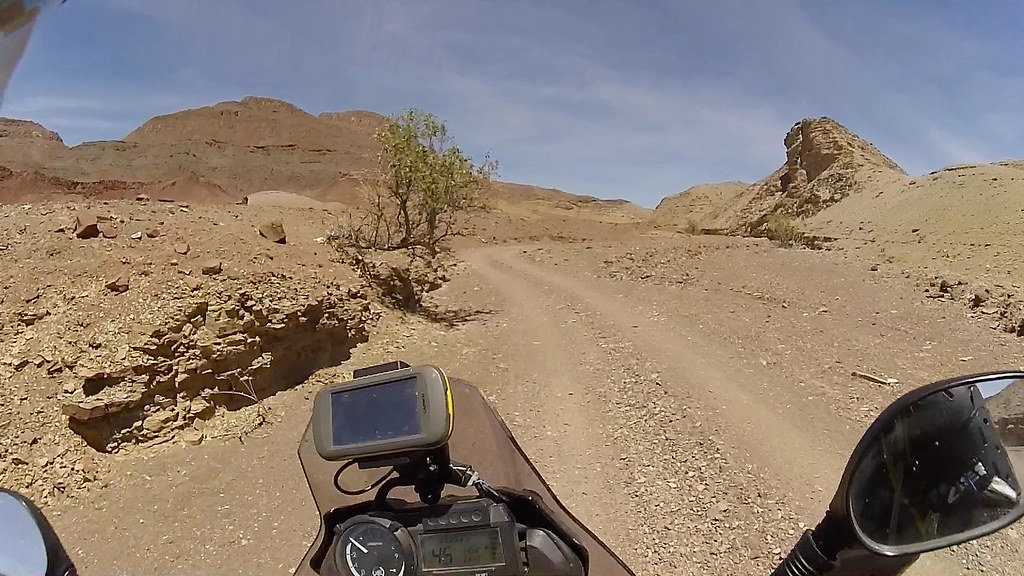
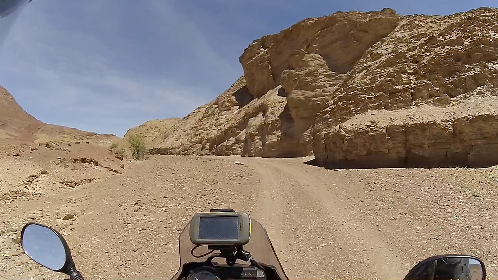
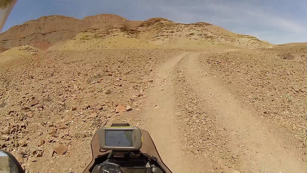
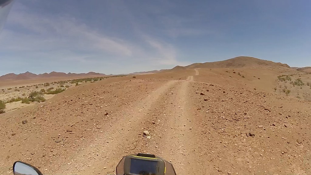
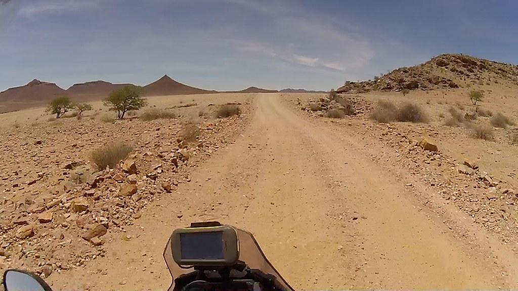
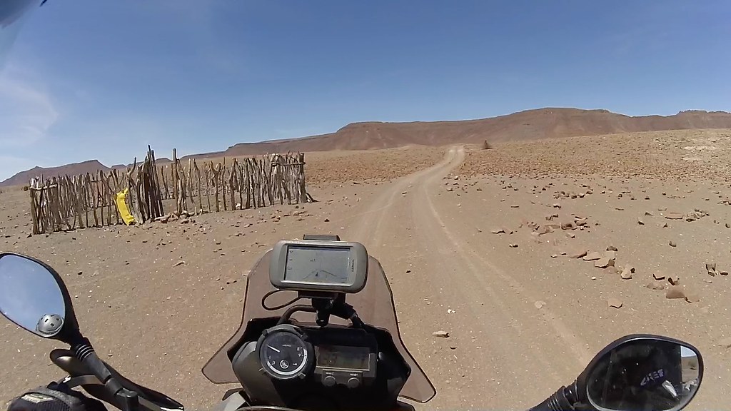
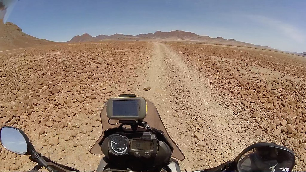
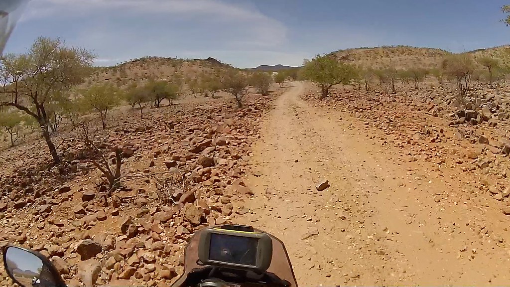
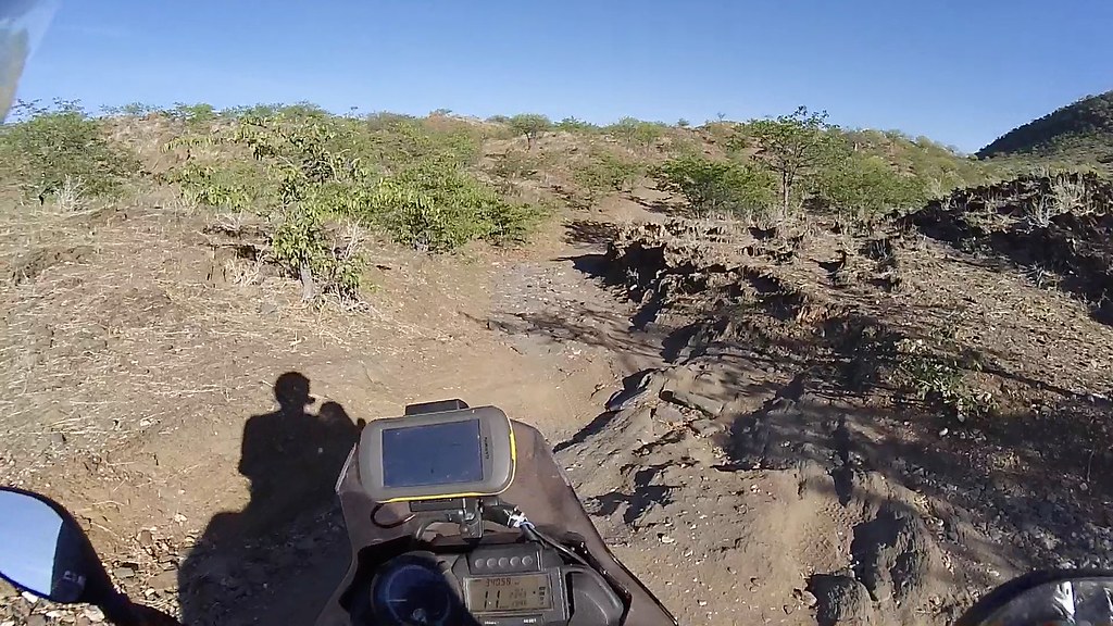
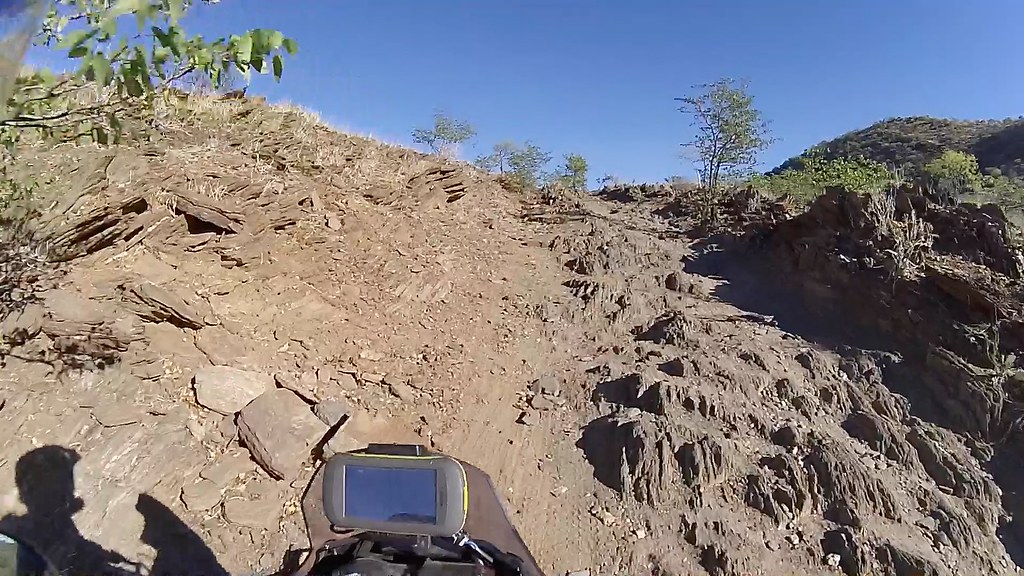
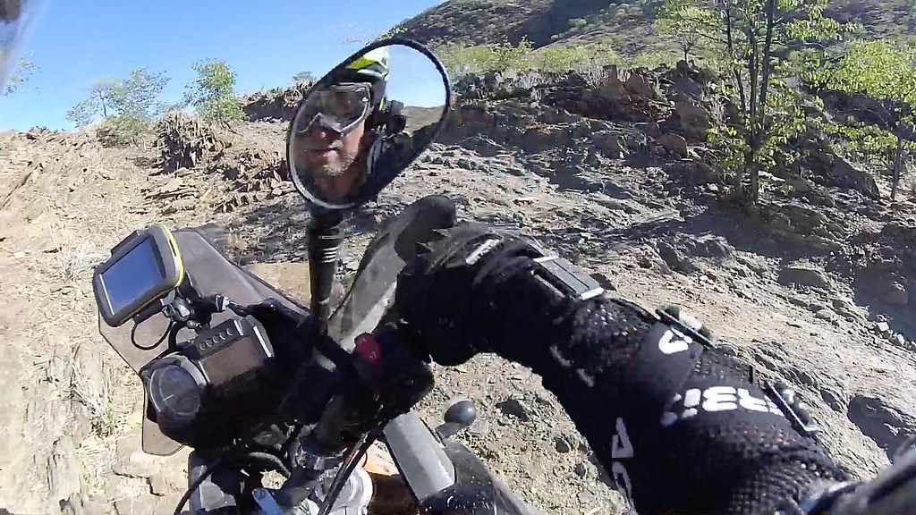
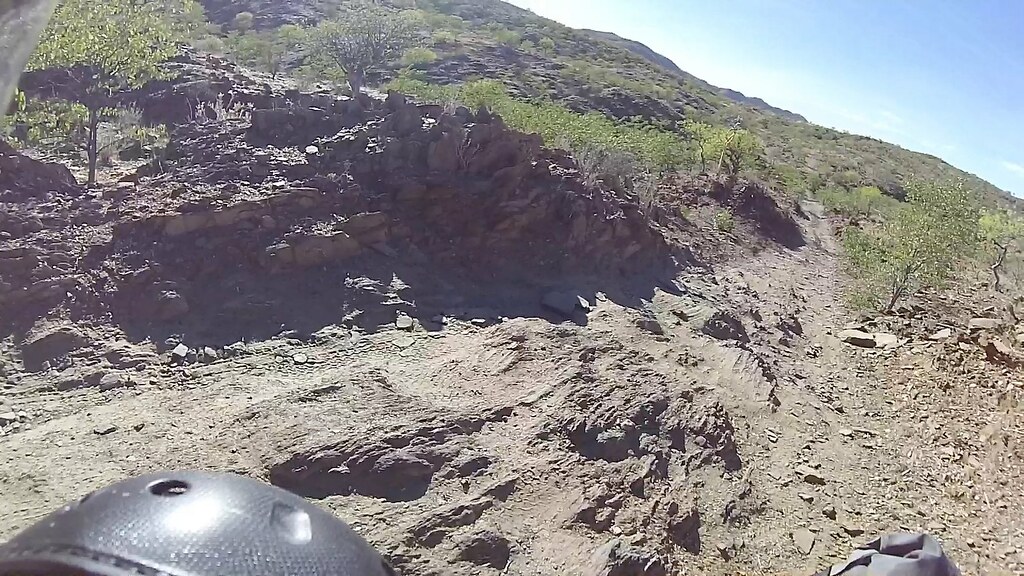
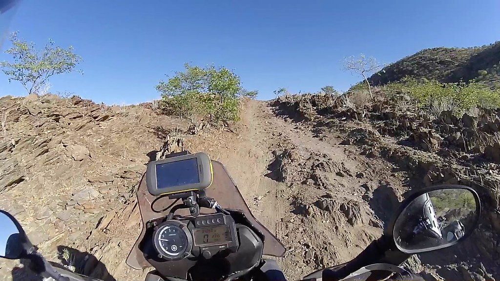
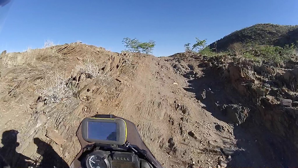
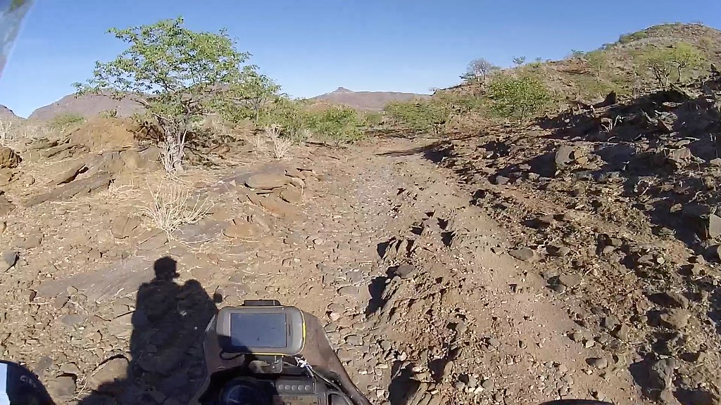
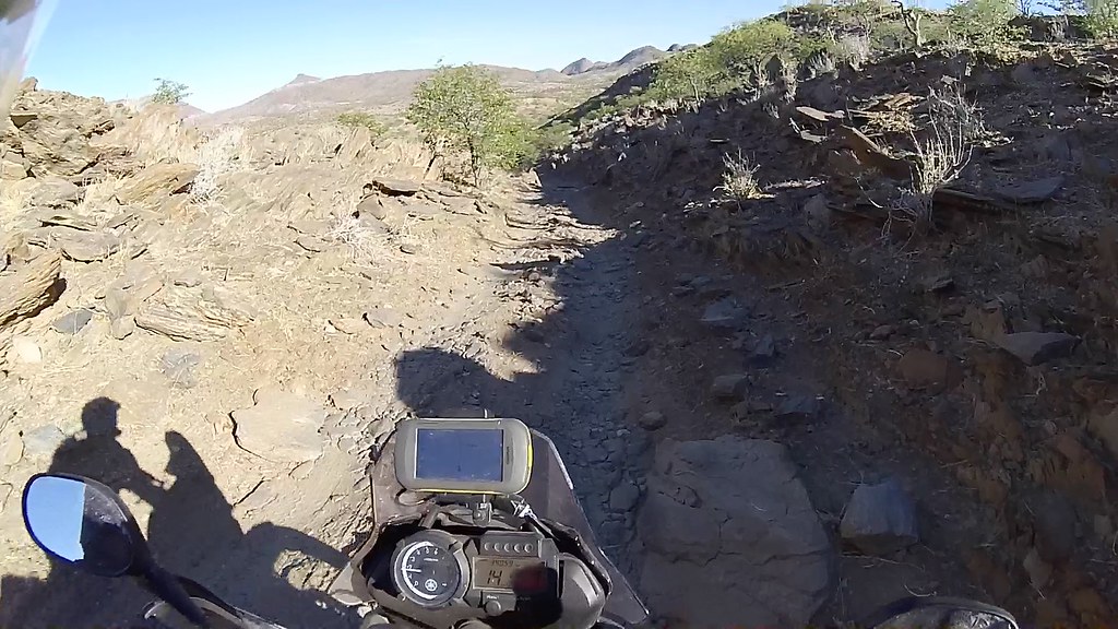
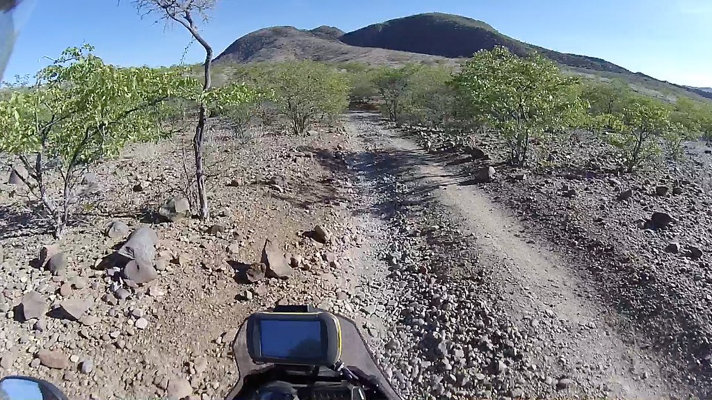
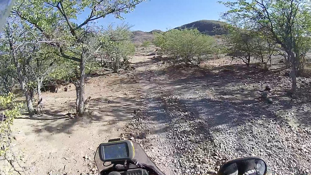
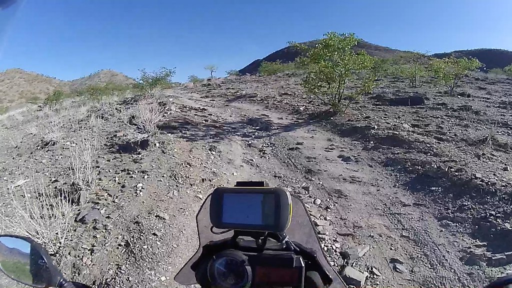
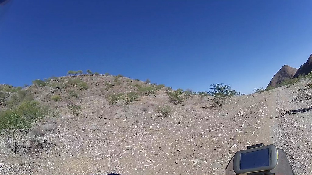
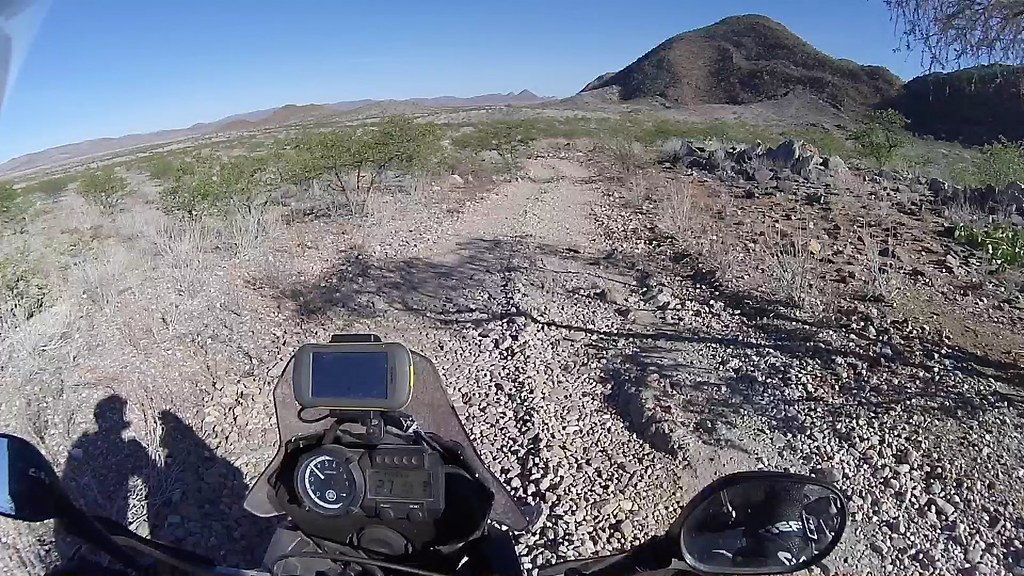
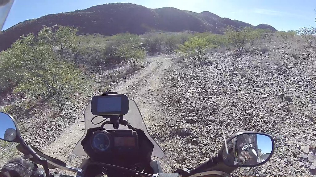
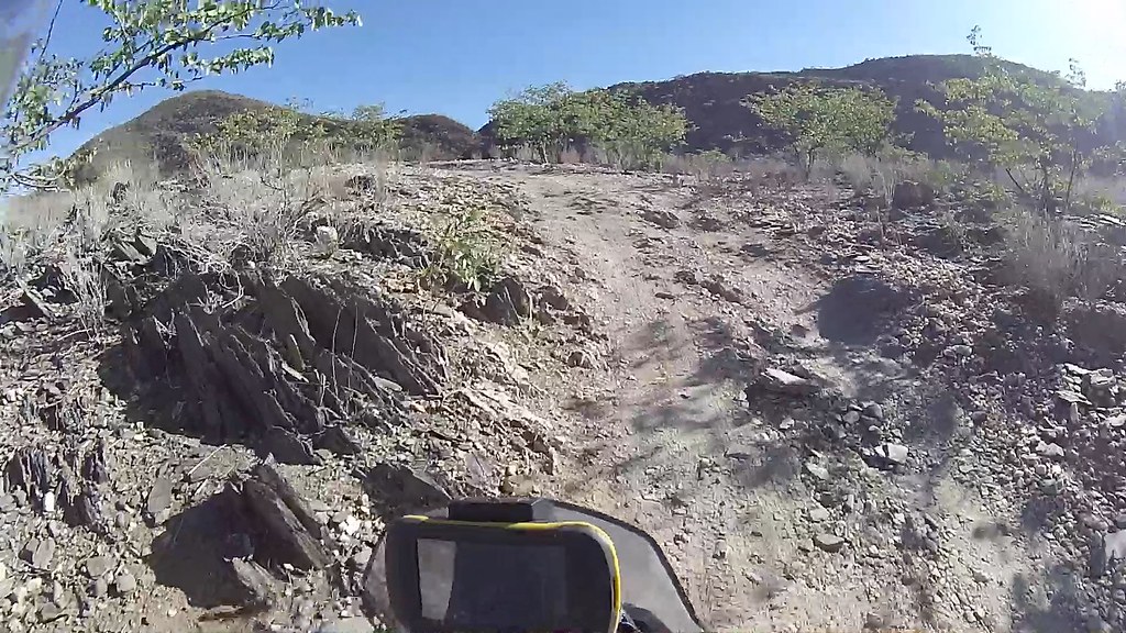
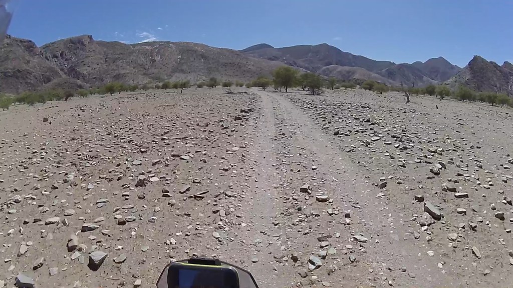
From the river it's uphill to the summit through rocks for 10 or so km:

16263737654_55cba6a57f_b.jpg

First overtake:

16860216806_54eebbecbb_b.jpg

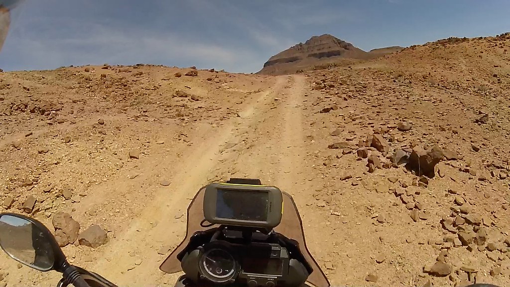
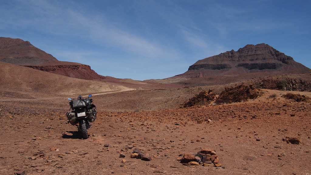
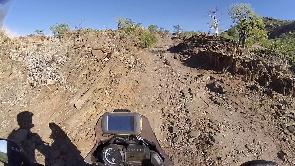
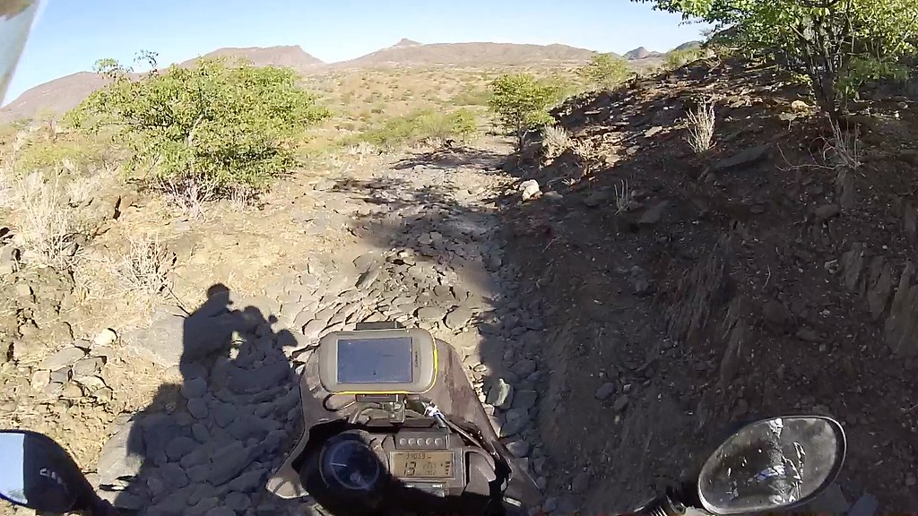
Harsh barren rock that makes my soul sing - if you can, do this pass in the early morning or late afternoon (this pictures are from midday, but I did it no the last trip), the deep red of the rocks has uncanny resemblance to those images from Mars:

16678788887_f3d93cc4a4_b.jpg


16266206183_7608c0fd41_b.jpg


16263822744_20be1b5046_b.jpg

And where I came from - the Huarusib river, my favourite place on this planet:

16885236131_326e24ea54_b.jpg

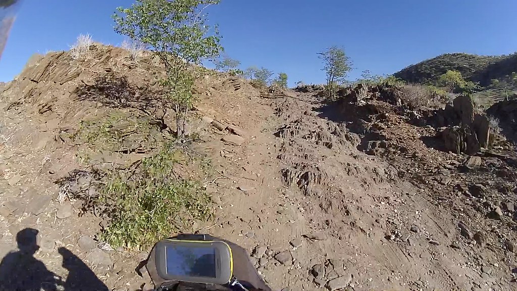
And onwards and upwards:

16886130955_bbb22cc32f_b.jpg


16884943252_177b2b0a68_b.jpg

The top is nigh:

16678883117_ff8de4bf36_b.jpg

A tree:

16678797997_9b83ae2f04_b.jpg


16699999269_e13c9c60d6_b.jpg


16886141455_1587ddd967_b.jpg


16266144593_745f66650d_b.jpg


16860233886_280134a0f9_b.jpg


16884954992_34bce6849f_b.jpg

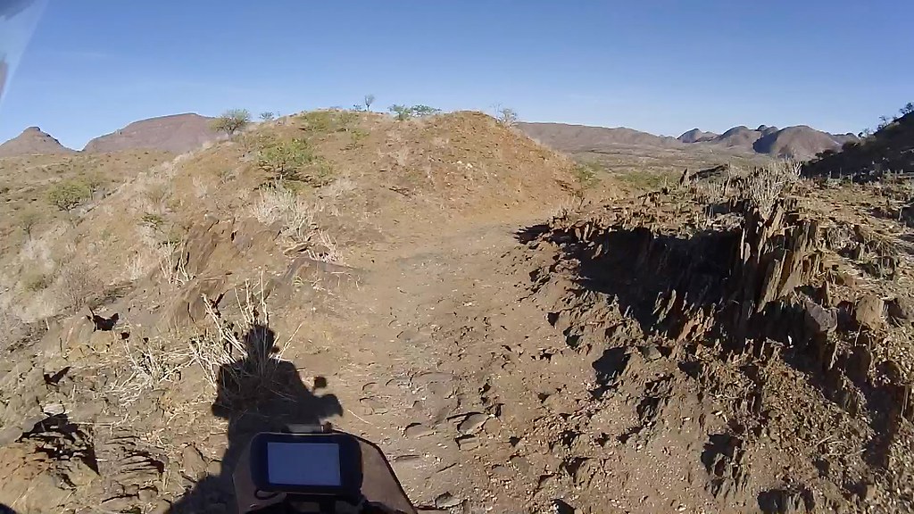
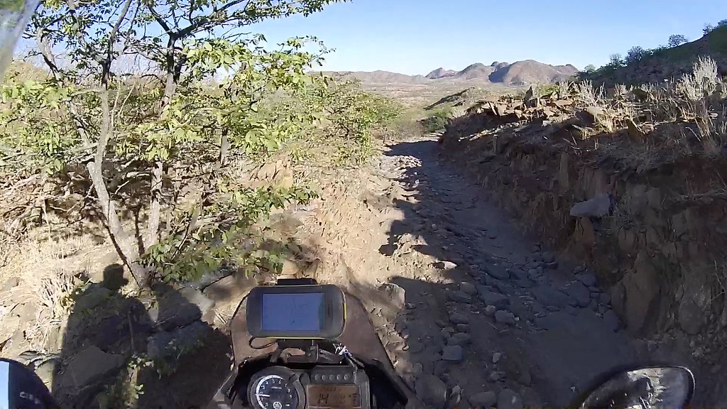
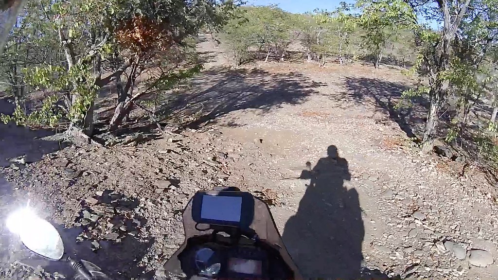
The top and much more gradual descend to Khumib river:

16700009409_b017f925c0_b.jpg


16698744530_e601e21104_b.jpg


16860240876_c4827436e4_b.jpg

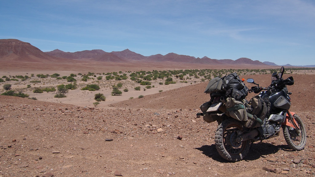
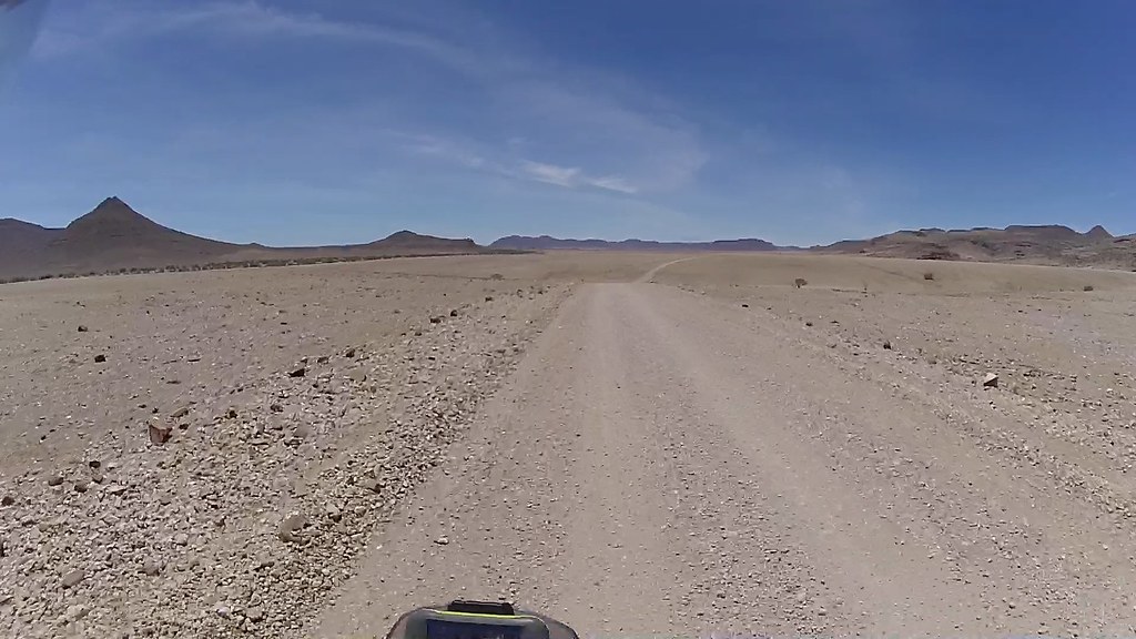
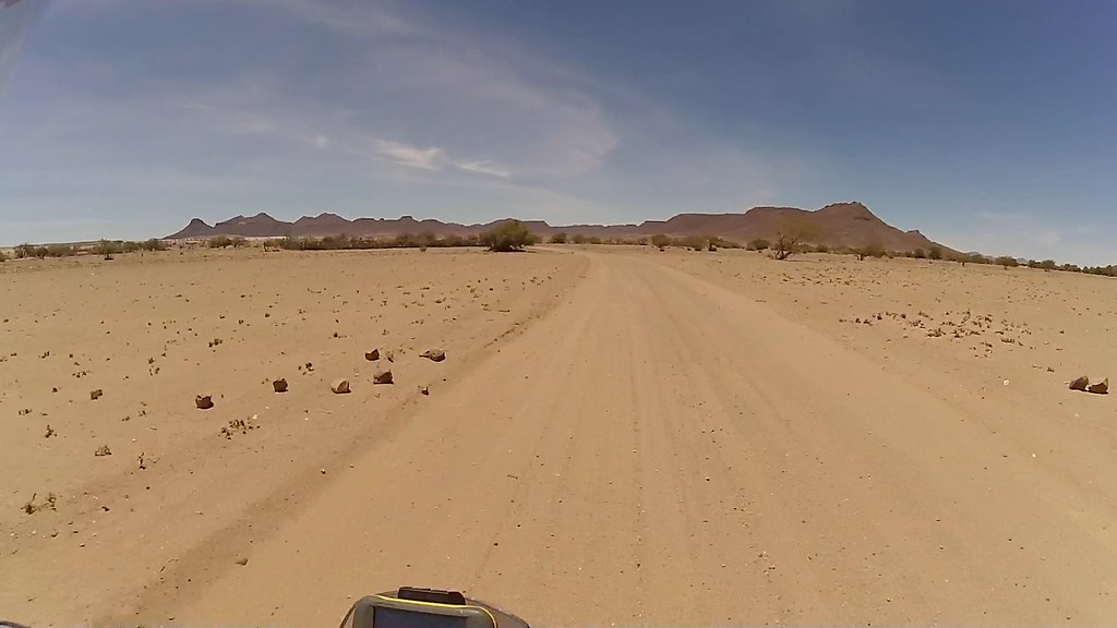
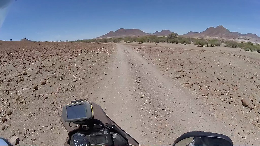
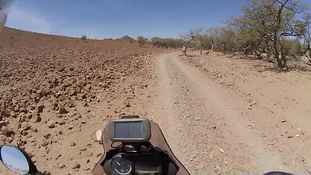
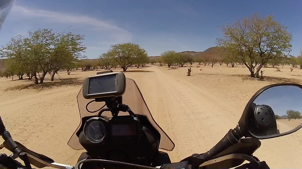
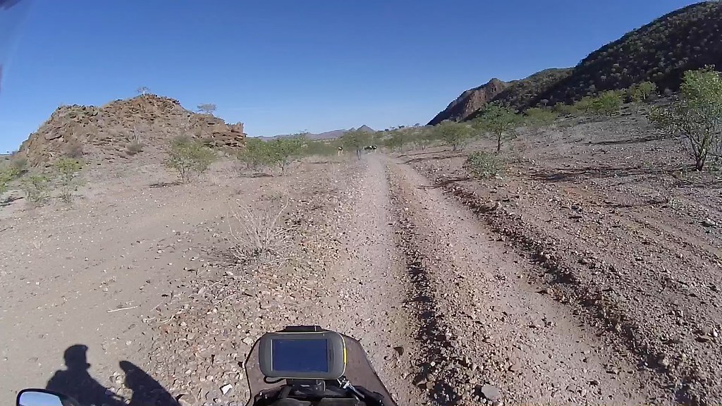
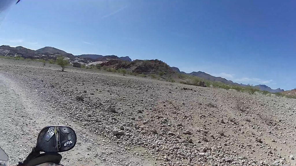
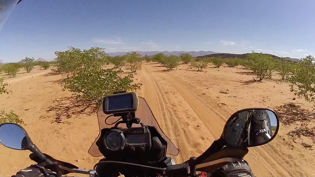
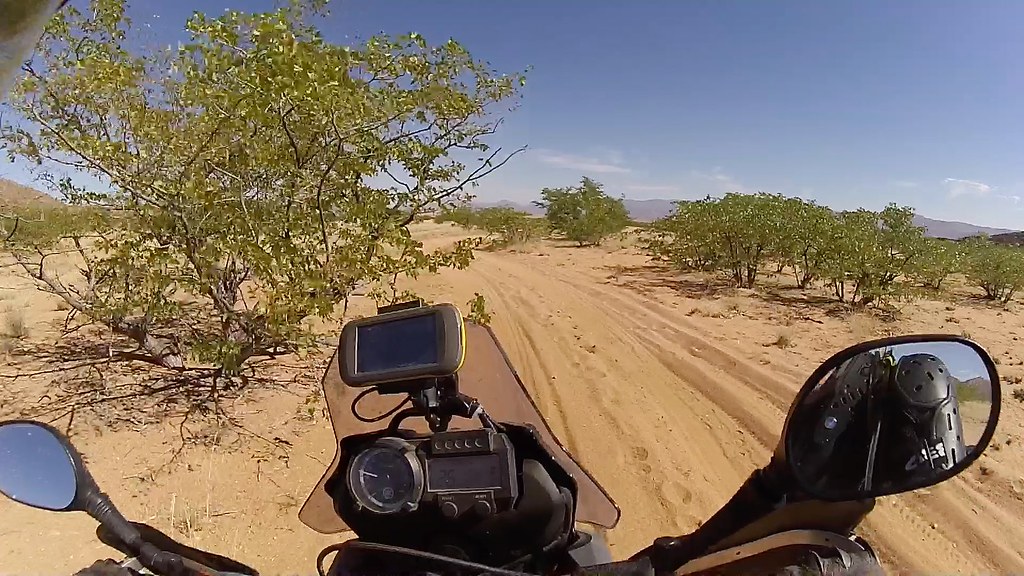
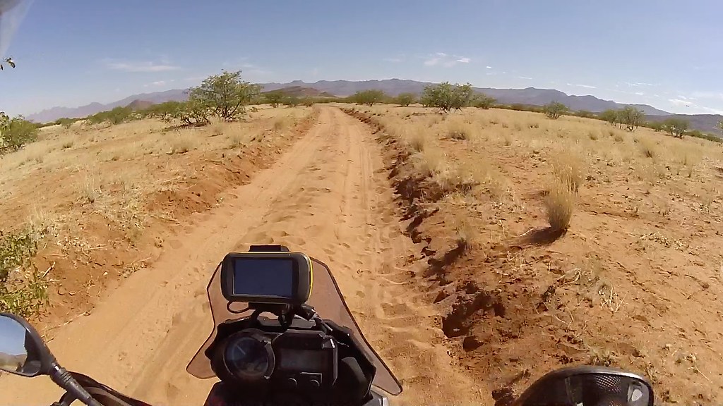
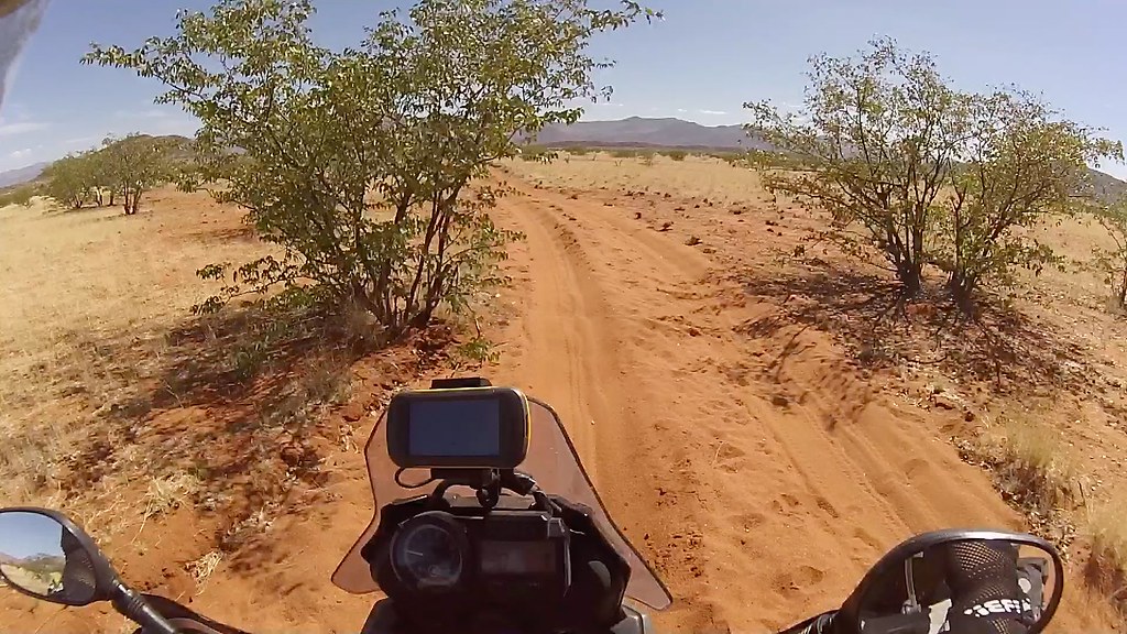
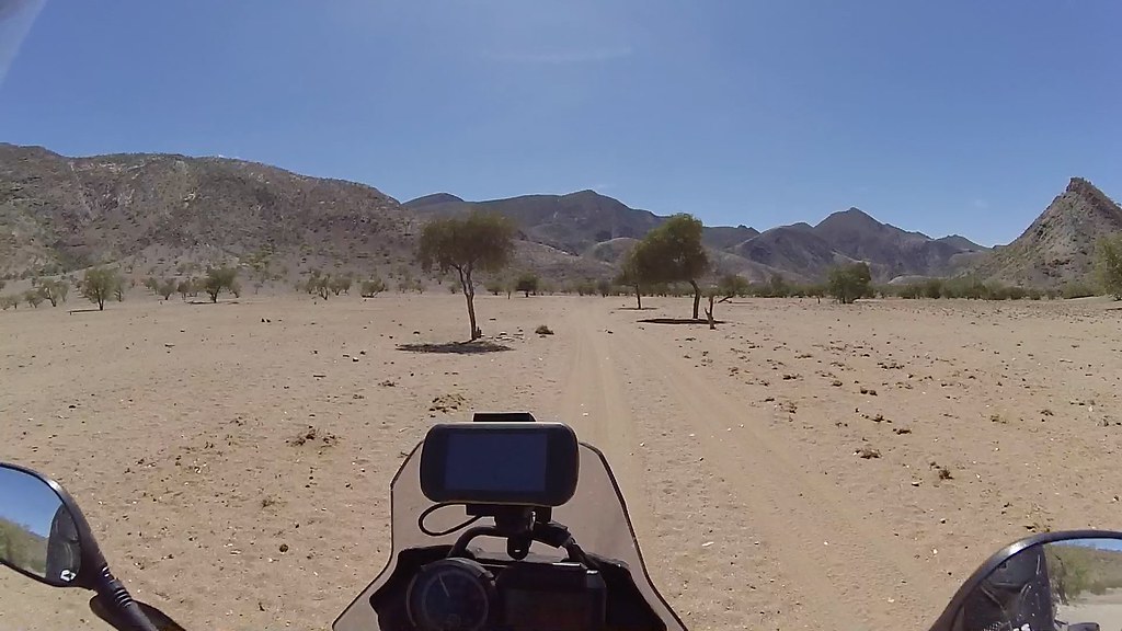
Khumib river by most standards is a fantastic place on its own, but in the context of Kaokoland it feels a bit bland compared to its sisters Hoanib and Hurusib. It carries probably much less water, the vegetation is sparser and while I've seen warnings on GPS about elephants, I have not seen any wildlife there on my 4 visits, except one family of giraffes. Still a nice ride alternating between dry riverbed and high ground on its left bank all the way up to Onjuva.

The pass from Huarusib:

16700138769_f6c62160ef_b.jpg

And the Khumib river:

16698810220_e9789b5ee3_b.jpg


16885154431_499ec1b903_b.jpg


16698527498_afebce64ac_b.jpg


16678817467_88c54a3bbe_b.jpg


16886257735_792dbe1bab_b.jpg


16700019679_4974f59b20_b.jpg


16698532098_126b894986_b.jpg


16885162821_3ece39209a_b.jpg


16860252376_7b191f56f8_b.jpg

Taking over the two families again - they definitely seemed to have a great time:

16678824727_c44bb7aa76_b.jpg


16678825717_37ecbe09a3_b.jpg

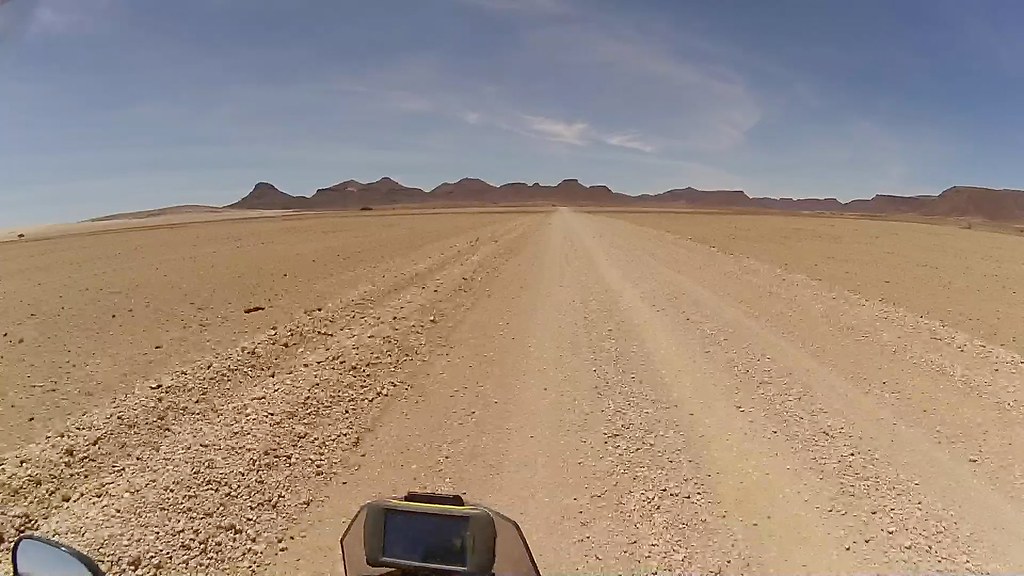
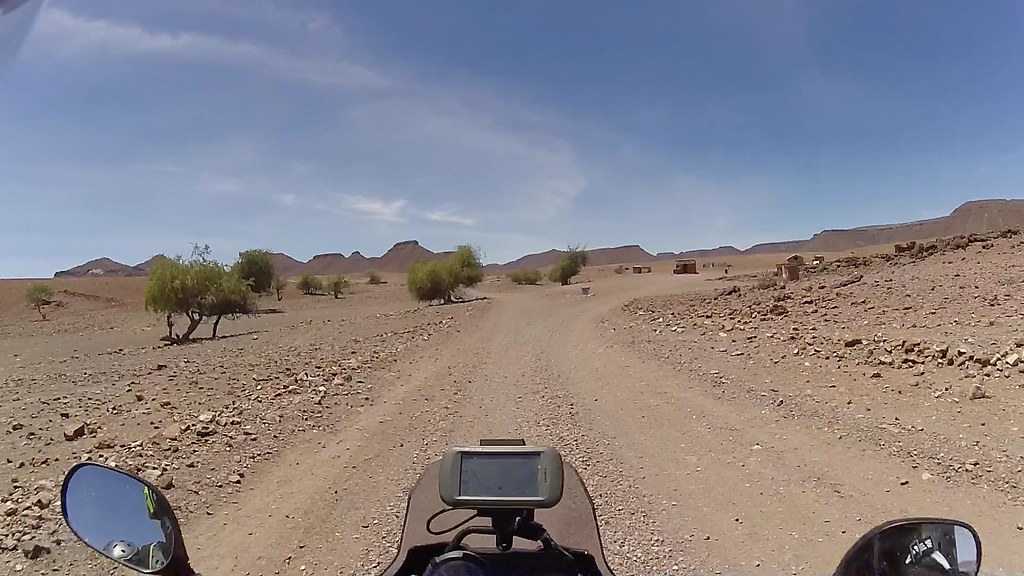
Heading to Orupembe at the bottom of those mountains dead ahead for a shopping spree:

16700029119_d19dca8aaf_b.jpg


16885170651_9e7435b42f_b.jpg

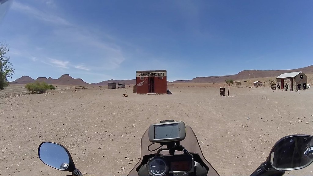
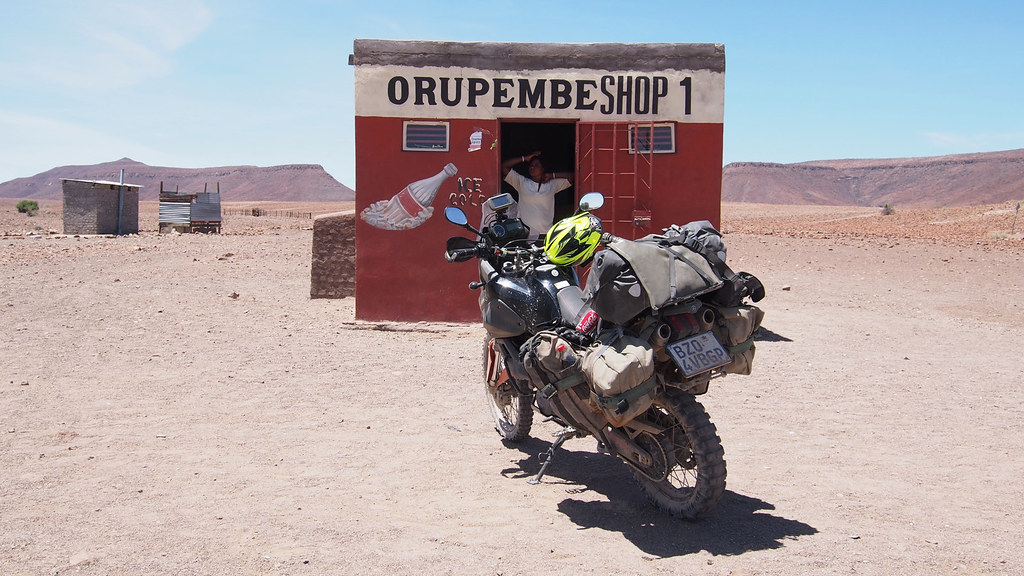
Orupembe CBD and Woolies:

16700033639_7ffd691a18_b.jpg


16886174445_5313aef6dd_b.jpg

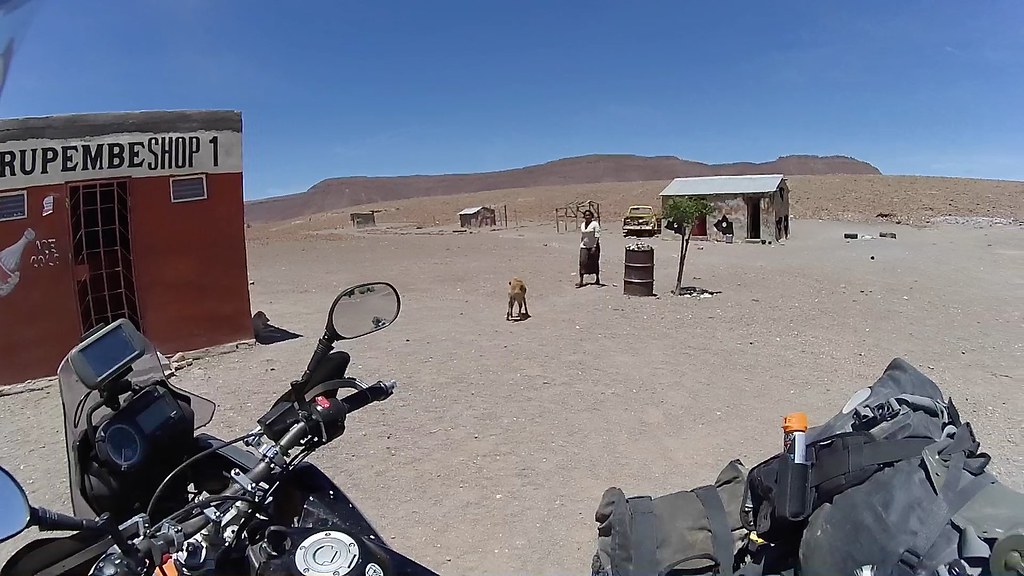
The lady shop proprietor coming to open the shop and posing:

16884984462_905f02fe94_b.jpg


16700102619_ff7ebc0645_b.jpg

And her house:

16700108399_8fbe52804d_b.jpg

Wonder what they farm here - probably rocks:

16860266786_1c9ff99884_b.jpg

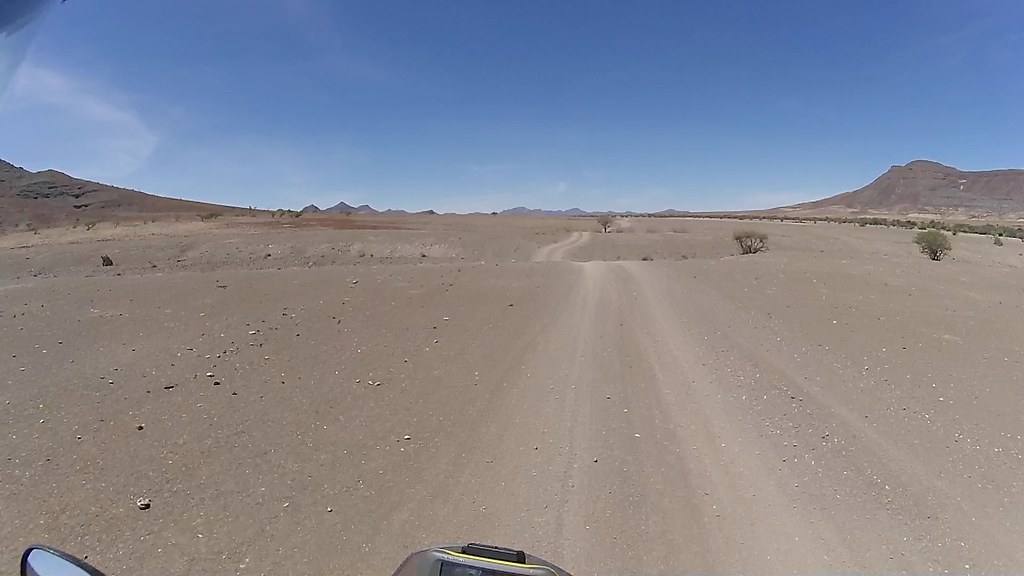
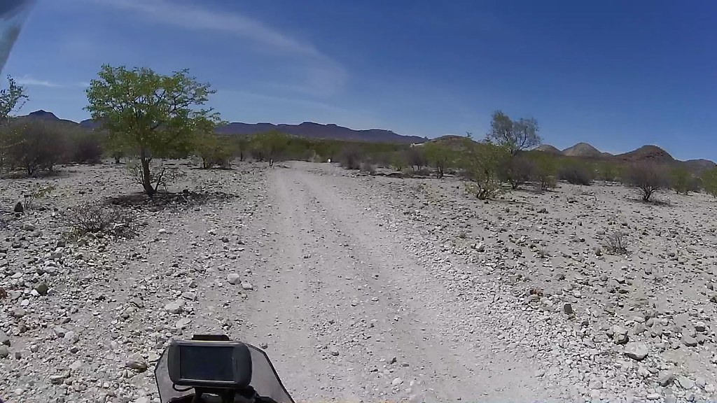
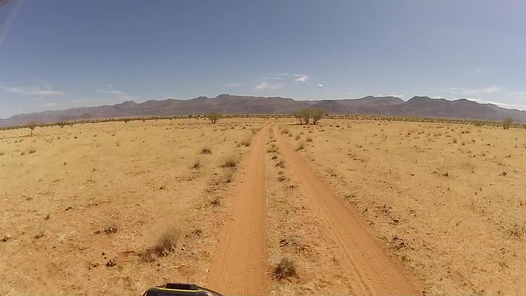
From Orupembe it's about 25 km to Marble Campsite, first about 5 returning through the barren rock back to the Khumib river and then following river up across a big sandy plain.

16263790844_30f6cc16d1_b.jpg

Orupembe satellite development:

16700041509_92a8bff680_b.jpg


16884989622_5786da2bb9_b.jpg


16886182685_2f479fe1e4_b.jpg


16698555278_81836f3338_b.jpg


16266186103_c9c3804c55_b.jpg

Man, this place was busy:

16885187741_debe2497d5_b.jpg

The turn-off north to Onjuva and Marienfluss:

16885162002_912291f4ec_b.jpg

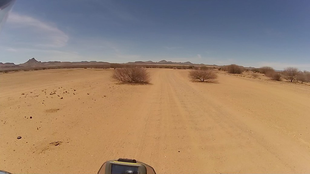
Here the tracks crosses about 10 km of a red sand plain until the Onjuva village sitting at the bottom of the mountains on the other side:

16678847787_645d91f516_b.jpg


16698781530_dd4d6d16bd_b.jpg


16884997882_059d191c4f_b.jpg

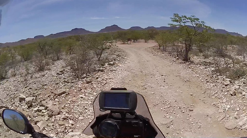
And over the first set of mountain to the next valley with the campsite:

16885192591_944715c352_b.jpg

The hills on the right are made of marble - hence the Marble campsite at their bottom:

16886192025_a15fa1630d_b.jpg

A new clinic built by private contractor, but not paid by government due to some unresolved defects - so closed. Quite sad as it is the only clinic for the huge area probably spanning all the way to Opuwo:

16700054509_95dc23918b_b.jpg

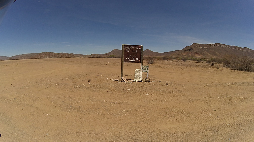
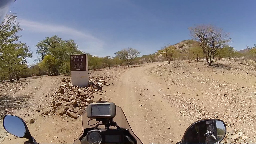
Turn-off sign to the campsite - nailed appropriately to a marble stone:

16678854987_526670303c_b.jpg


16698789920_c6648685fc_b.jpg


16698792450_e81fa01066_b.jpg

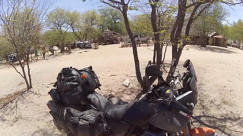
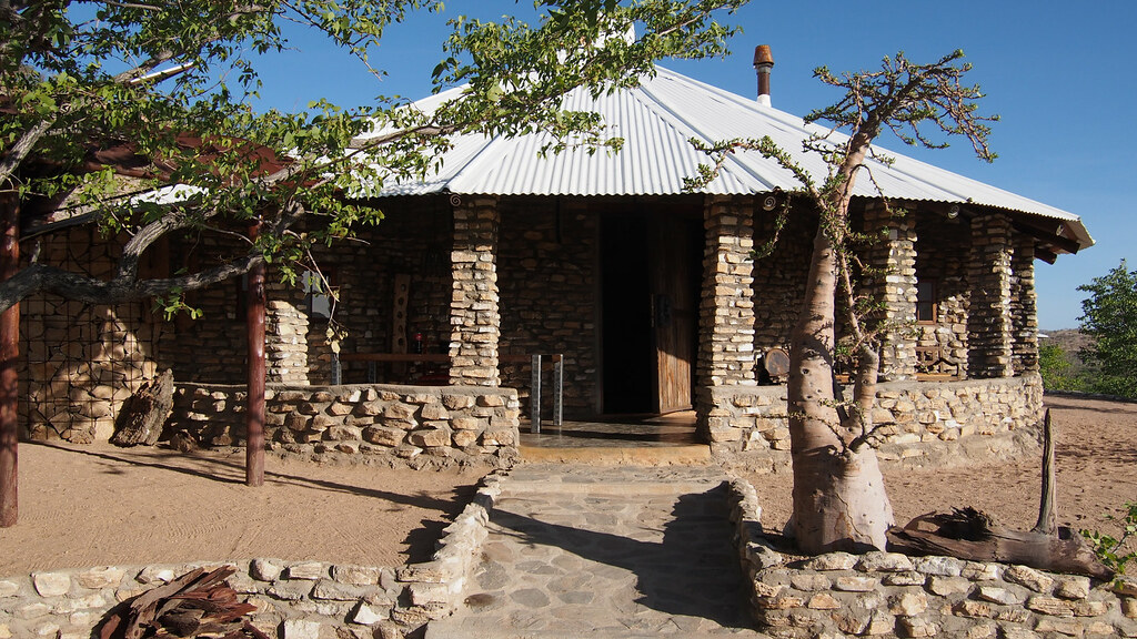
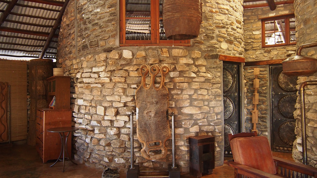
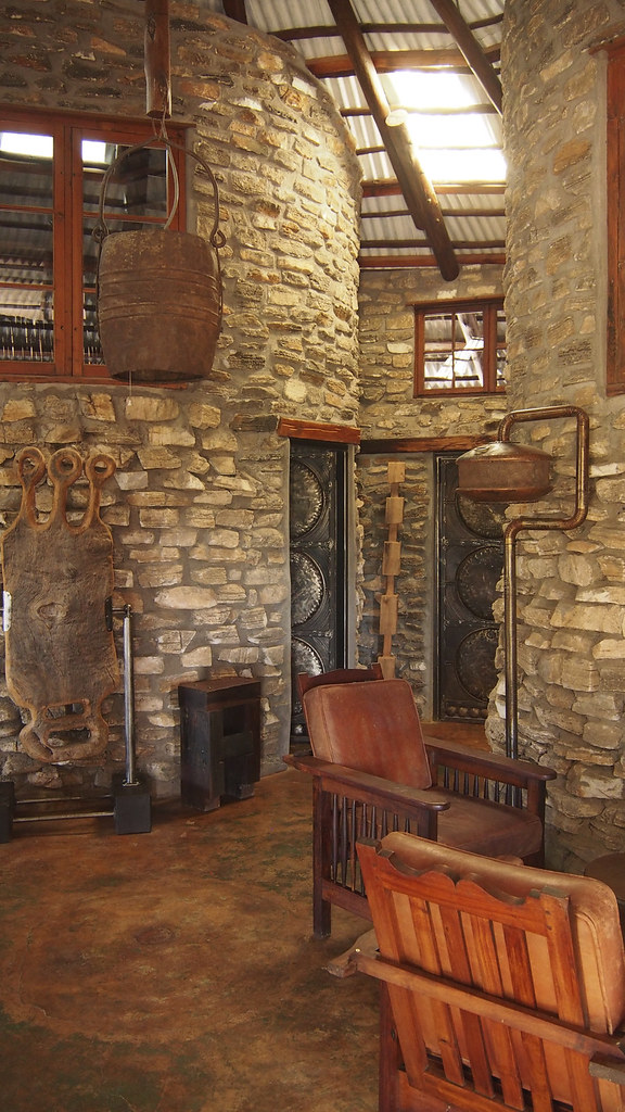
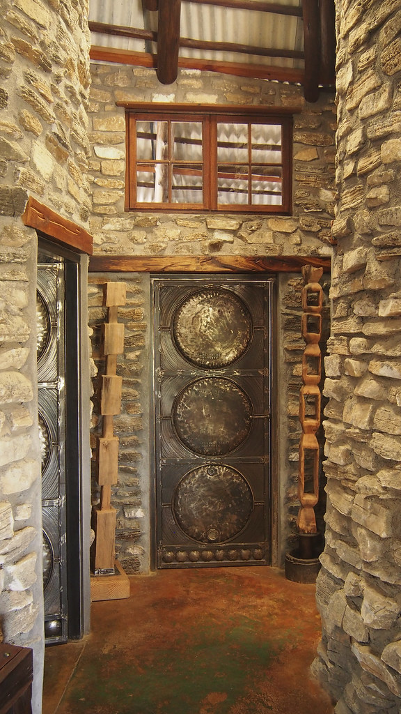
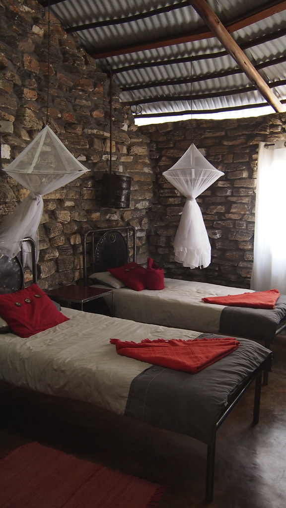
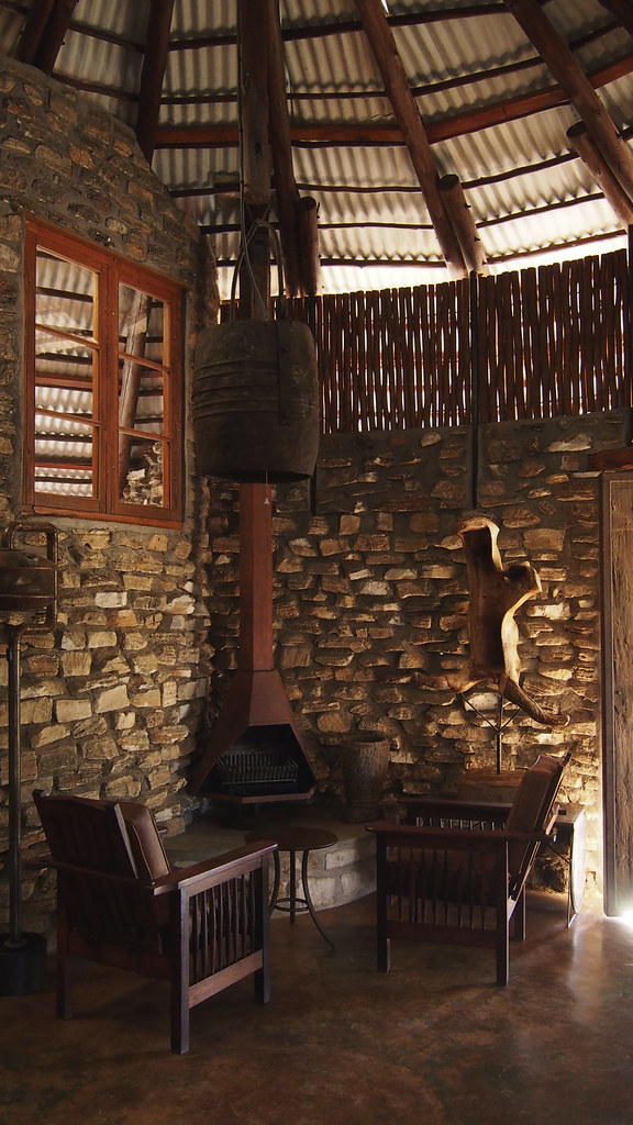
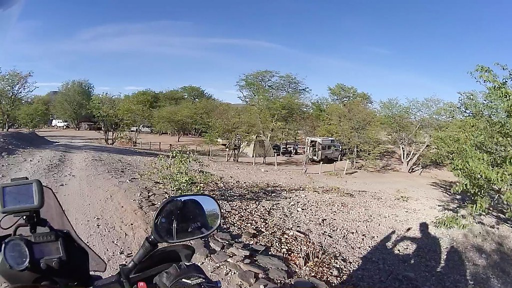
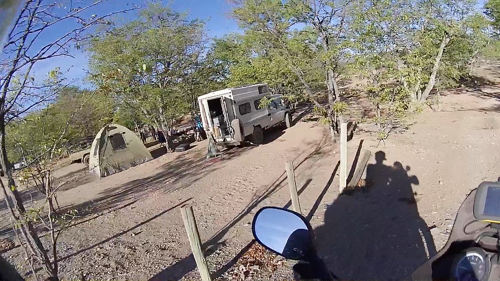
The campsite was full - the German gang was there, as well as the two Namibian families, who took me over again when I did my detour to Orupembe. Quite strange to see so much traffic in this remote place. I was fully expecting to camp for the first time on this trip, but to my surprise there are three chalets/houses on a hill above the campsite and yes, they can be rent. Not keen on the whole camping hassle night before my final push up the Van Zyl's Pass, I immediately zoomed on the last of the available chalets and after an hour or so - the houses do not belong to the campsite and the guy who handles them was in the village - I managed to score one. I know this probably costs me adventure credibility, but I was quite tired after 5 days of solid riding and wanted to rest the best I can and start as early as possible for the push to Epupa next day. And quite frankly, even if I wouldn't be, I would go for the chalet  ;D.

This far in the sticks I have fully expected very basic facilities - and was surprised how well the campsite was set-up, and especially the comfortable set-up houses up on the hill. There was a fully equipped kitchen with the gas stove and lots of arty details (made surprisingly mostly of welded metal) that would make this to stand out anywhere on the Garden route. It was another proof of the resourcefullness and entrepreneurship of the (quite frankly white) Namibians, I came to admire so much on my travels. I hope the owner does well in his venture in Onjuva.

My villa:

16266323333_724ffa85fa_b.jpg

And the interior:

16885115282_a9bf874cf3_b.jpg


16698674068_eaee9c3711_b.jpg
     
16860385726_25d27559b4_b.jpg


16860433296_795dc24183_b.jpg
     
16678996707_9fe1026693_b.jpg

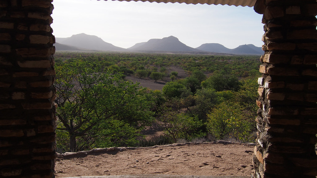
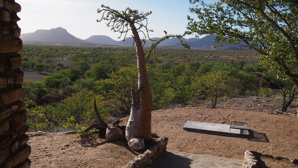
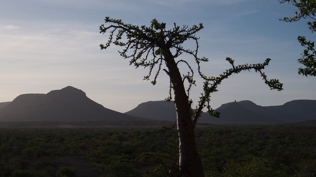
And the view form the verandah with resident baobab:

16698657028_1f8bb27eca_b.jpg


16886315075_3ffb4fc8e2_b.jpg


16885332611_b4b53bc475_b.jpg


16885350331_46c65ee5cb_b.jpg

After a dinner of spam and something I headed for the bed early as I knew the next day ride up the VZP and onwards to Epupa will be an exhausting one.
 
Geezzz. What a nice place to stay...in the middle of nowhere!


Sent from my iPad using Tapatalk
 
Bring it on.............. welld done to you! You truly embody the spirit of true adventure.
 
Thanks for the update, stunning pics as well!!!
 
Day 15 - part 1

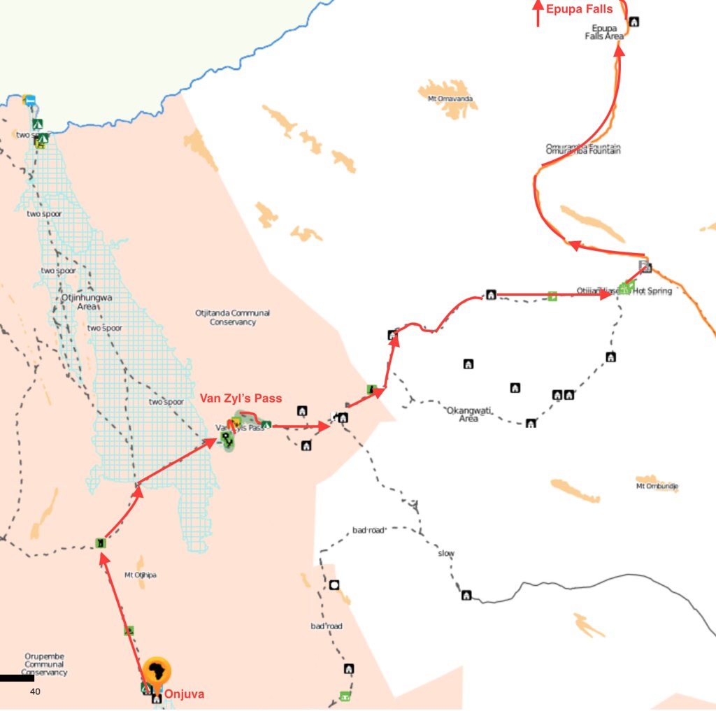
This was supposed to be the toughest day of the trip. The plan was to ride up the Van Zyl's pass and onwards to Epupa Falls about 220 km away, where I would have a rest day. Like so:

16288300503_2ceec38686_b.jpg


There were some tough days before, but I always felt confident that I will be able to make it through. This time I wasn't sure I will be able to make it up the Van Zyl's pass. Now, I've done it before, but it was going down and on Husky 630. And while the Husky may seem to be in the similar category as Tenere - both singles about 600-700cc, they are actually world's apart weight and size wise. While Husky is basically an agile enduro bike akin to KTM 690 (just better of course), Tenere is just big - not just heavy, which I may be able to handle, but big in size. At 179 cm I'm not exactly tall, and Tenere's height - especially with WP front and Hyperpro back - would not allow to get a foothold in the tricky rocky sections. So my only option was momentum, which requires a level of commitment and persuasion that I wasn't sure I'm capable of. But hey, no point dwelling on it - I've come this far so I'll try and see how it goes.

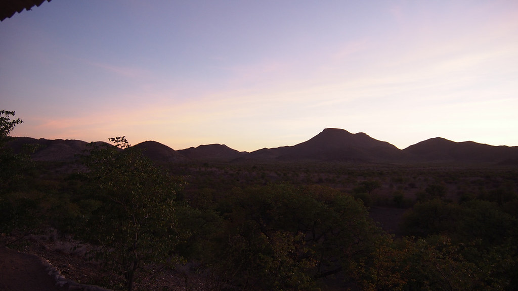
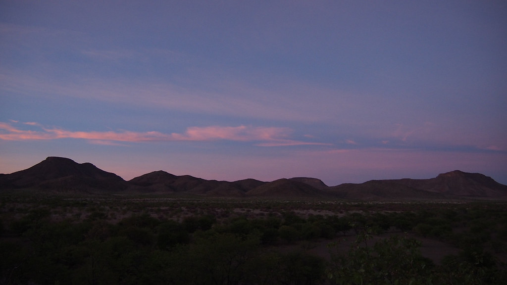
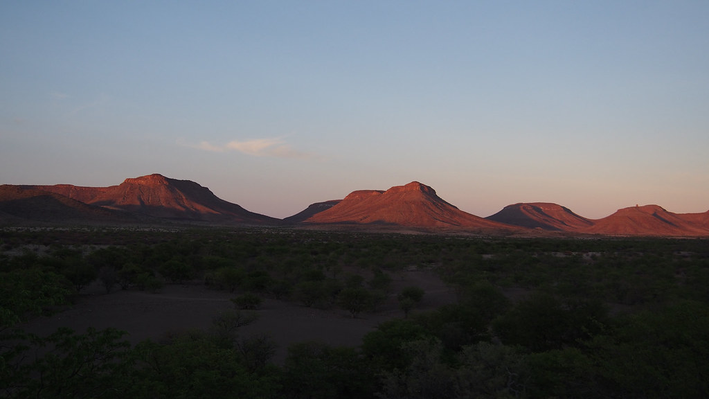
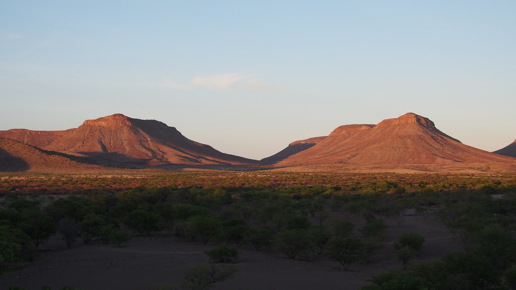
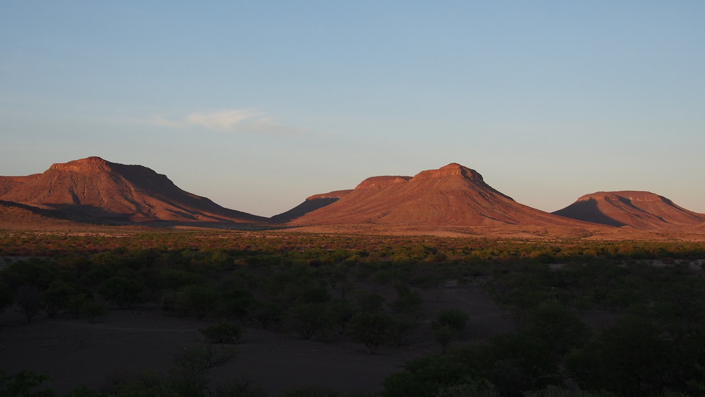
To give myself a fighting chance I woke up early still in the dark, so I was up for another beautiful African sunrise:

16896672122_10576f24a3_b.jpg


16896892361_1354ddcf72_b.jpg


16872028736_5e2be9d116_b.jpg


16896932631_15b2a7445f_b.jpg


I packed up quickly and set-off to take advantage of the lower temperature. I also knew from the Germans were staying one more day in Marble campsite, and few of them planned to do a day trip up and down the VZP - so I was keen to get there ahead of them as they may help me up the pass should I get stuck there. The campsite was just beginning to wake-up as I passed it on the way out:

16277669573_55f3ee8a2d_b.jpg


16710248990_08d4da2b91_b.jpg


16277677813_76a1726eaf_b.jpg


16710260430_fecf4cdd84_b.jpg


16896453722_b2bc30f5b6_b.jpg


16277691843_131c0f999f_b.jpg


I knew from my prior trips that first challenge will be the Red Drum pass, which is not long but steep and gnarly enough to provide plenty leg breaking opportunities and good warm-up for VZP:

16896463722_16a30c56de_b.jpg


16277700803_873e037b2d_b.jpg


16871787916_8ee2cff6cd_b.jpg


16896698241_e8f932c8de_b.jpg

I've battled here a bit, but after a tense moment or two I made it up without too much drama:

16896700291_8b293f4cd7_b.jpg


16710058198_c3a0df0d12_b.jpg


16710061418_835471ca22_b.jpg


16710063158_00434186c5_b.jpg

Made it to the top, but didn't relax yet as I still had to go down:

16871805126_d34093eba6_b.jpg


16275329114_7f926175fe_b.jpg


16711559009_a61369ee25_b.jpg


16275332824_290478c568_b.jpg


16897722595_758452f6fd_b.jpg


16711567049_a68ac23d96_b.jpg


16711568629_306310069a_b.jpg


16275341834_03359a0575_b.jpg


16896733551_a299475615_b.jpg

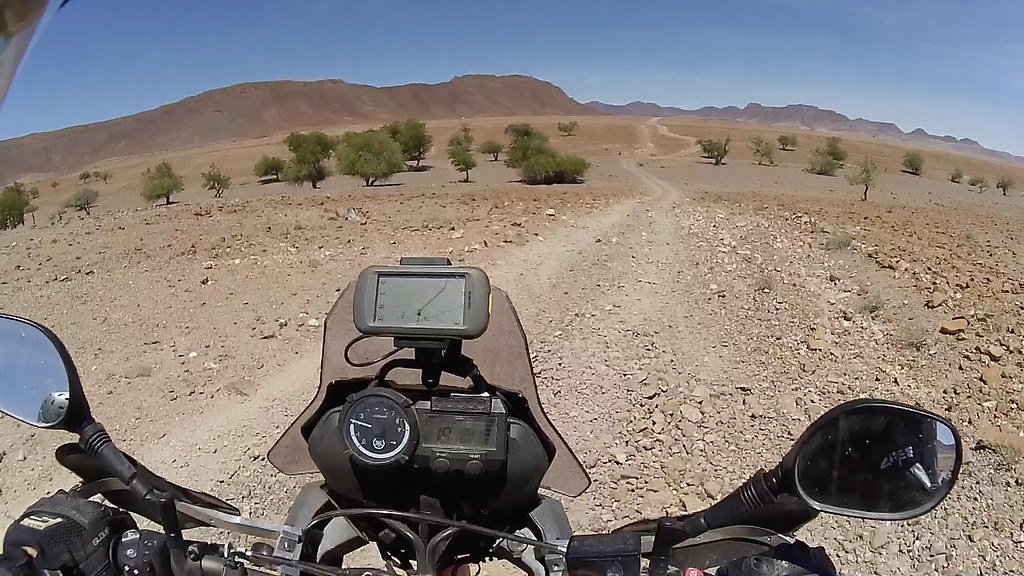
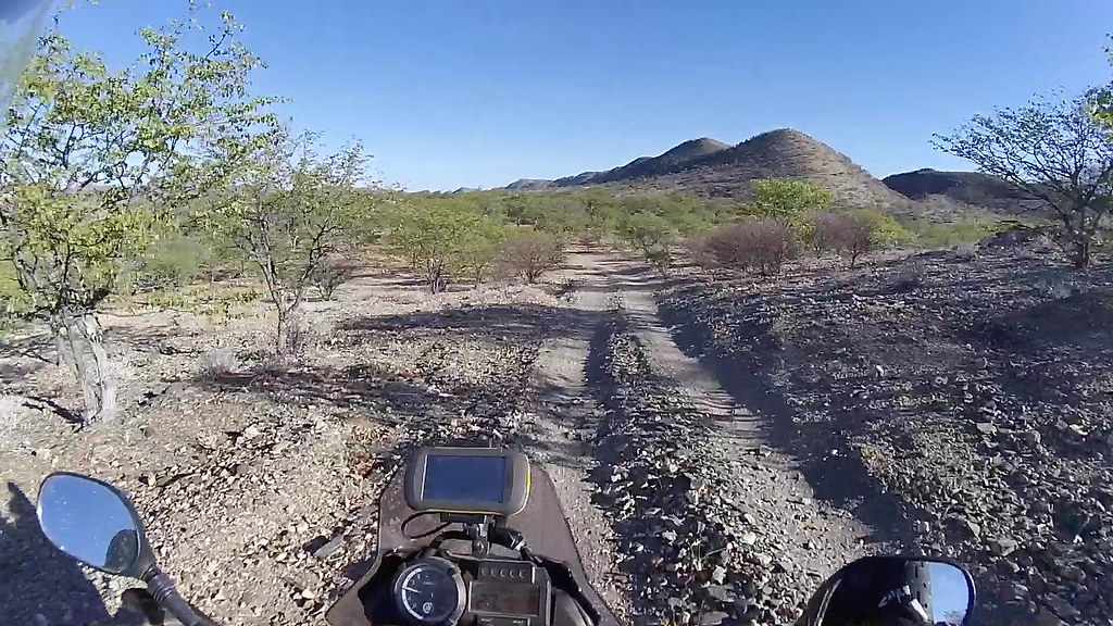
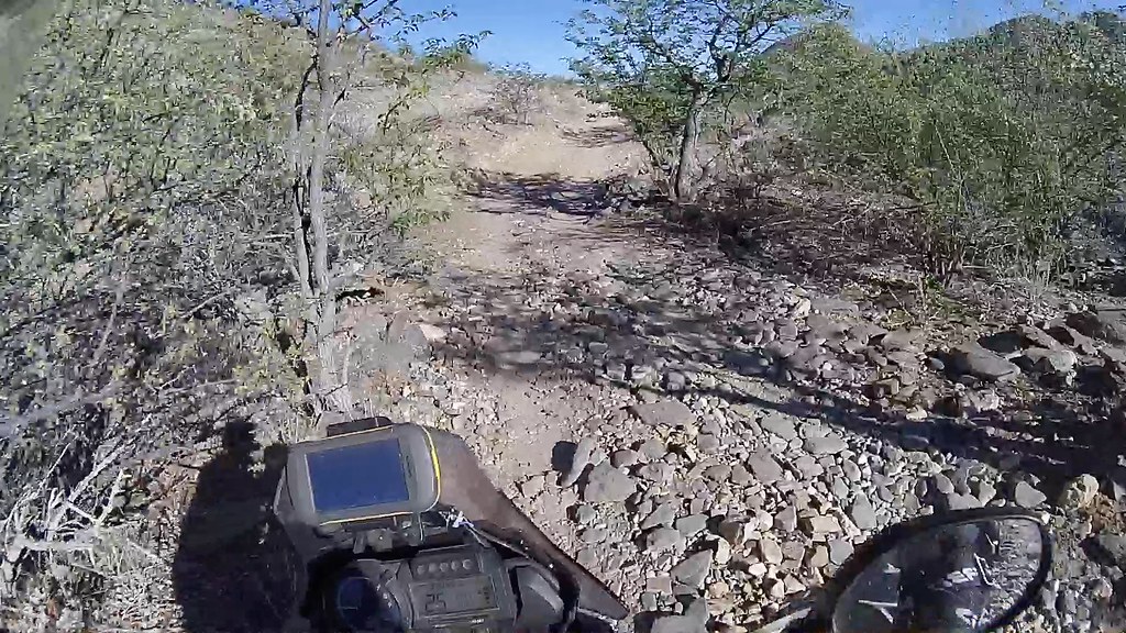
Once over the pass the riding eased up quite a bit into a rocky double track winding right-left and up-down through the morning bush:

16896505072_13e18df276_b.jpg


16710091068_95e9a20d8b_b.jpg


16710094098_ea2ff00f30_b.jpg


16711583149_15af0d3051_b.jpg


16690401687_3bb09dfef4_b.jpg


16690406047_5e36741b8e_b.jpg


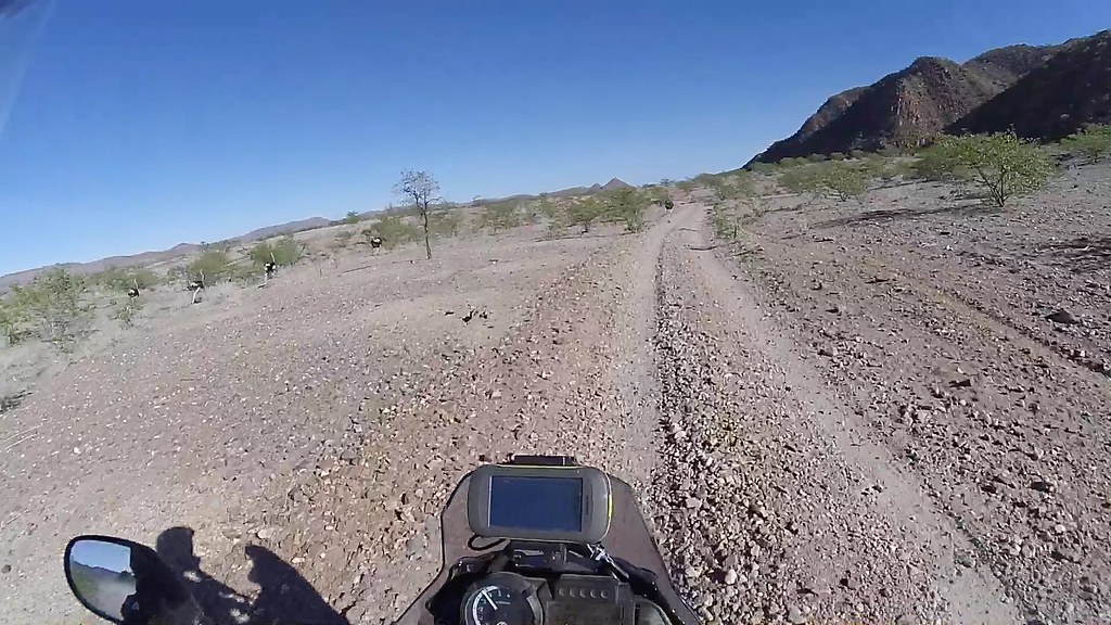
As I was probably the first vehicle for the day I've bumped into quite a bit of wildlife (unfortunately the helmet camera makes them way too small, even though they were actually pretty close). First Oryxes:

16710333040_0d3c289d92_b.jpg


16275364154_4339d0b97e_b.jpg

Then springboks:

16710336930_954131cb7f_b.jpg


16871848546_477c29fc97_b.jpg


16690416357_8d795143bb_b.jpg


16711601389_31e4deb64c_b.jpg


16710116458_62fba3b859_b.jpg

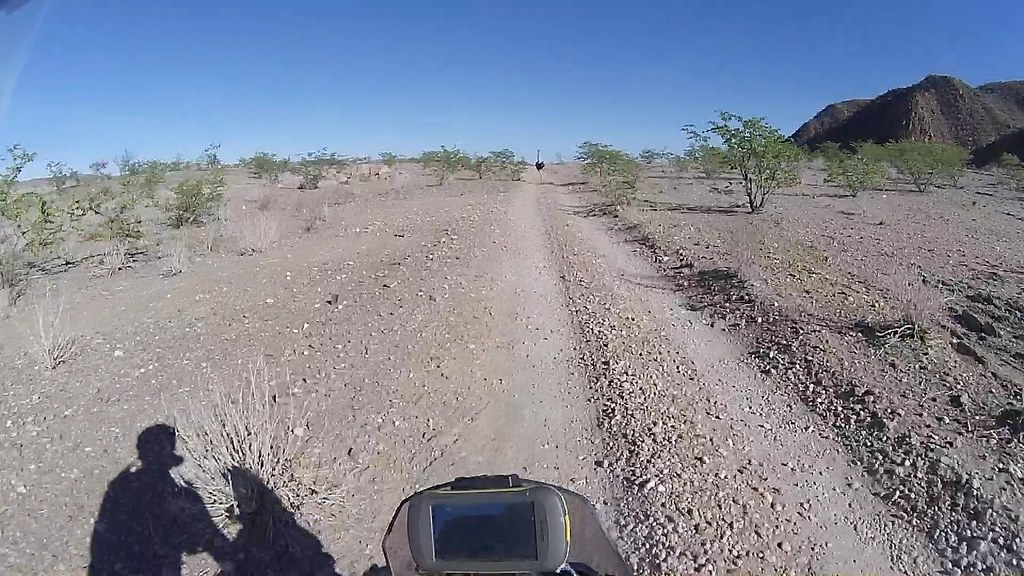
And finally ostriches - these for some reason run for about km or two in front of me on the track before veering off to the bush:

16896537292_e682b3010f_b.jpg


16275382884_2f37e64b41_b.jpg


16710126888_6ea58d7980_b.jpg

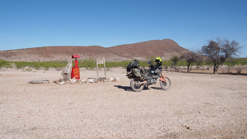
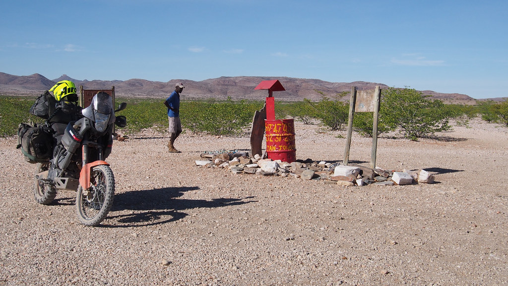
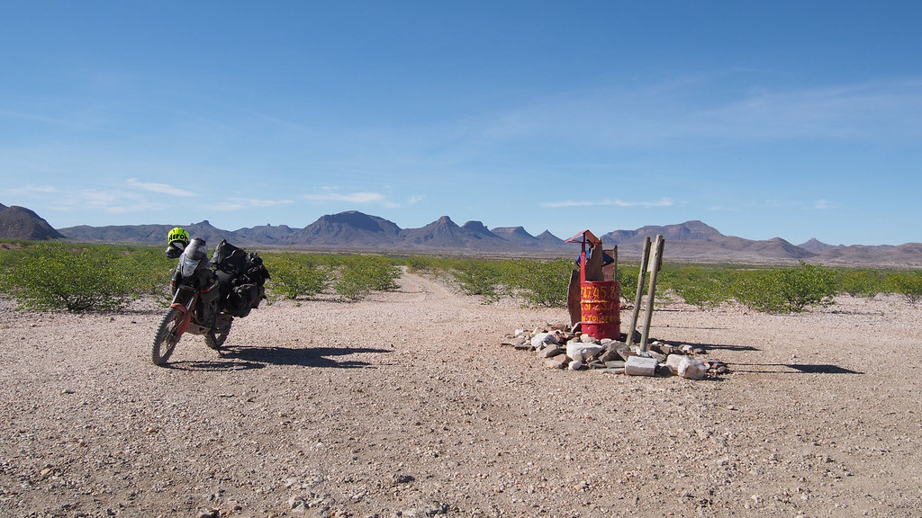
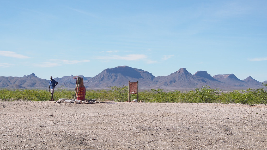
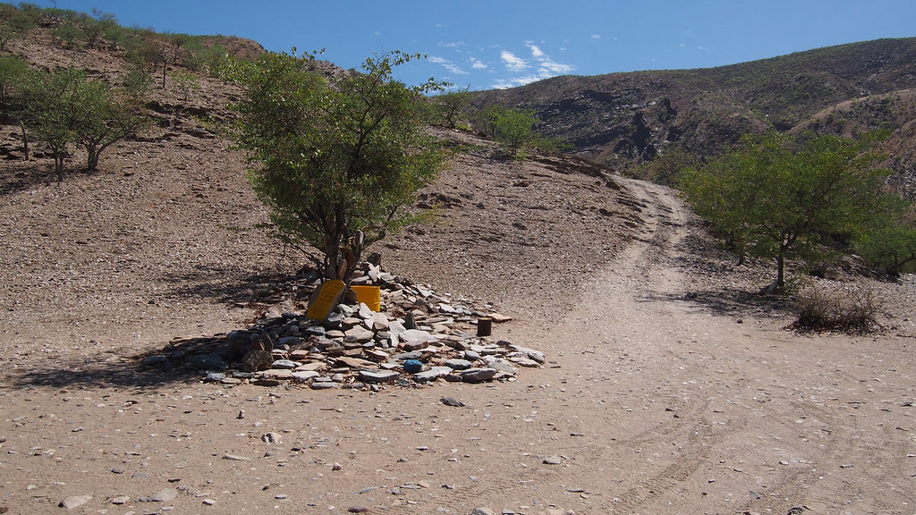
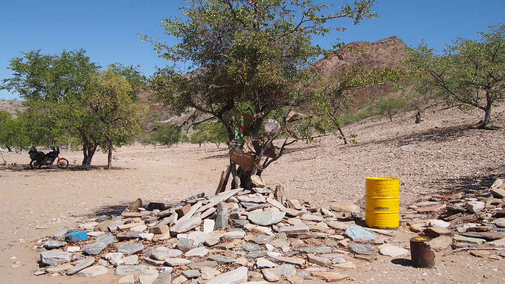
After an hour or so I arrived to the Red Drum - a major navigation point on all maps, which is exactly that - a red drum in the middle of nowhere, and took a break. There was a local guy selling trinkets and straight away I could see he was not well - very skinny with a bit of fever. He asked for some medicine. I feel iffy distributing medicine as quite honestly I have no clue what most of it is for and what are the side effects. But he looked like he can use some relief, so I gave him a box of painkillers, few Rehydrate packets and box of Salticrax for sustenance. He asked for malaria pills, but I had only 4 Lariams as a last resort if I catch it (I was not taking any as prophylaxis) and wasn't keen to give them up. I hoped some other tourists - I knew there will be quite a few bikes and cars through that day - could help him out.
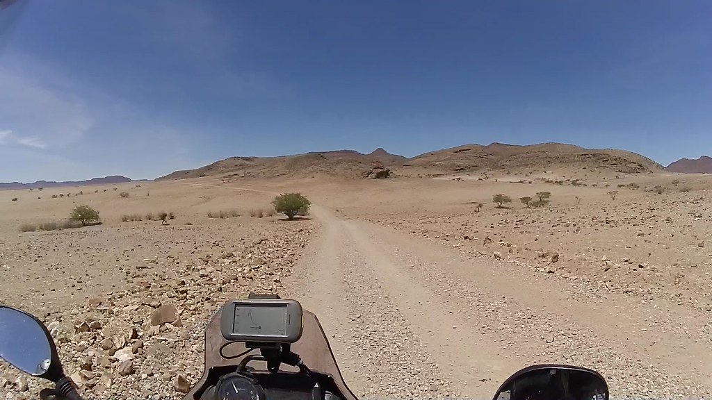
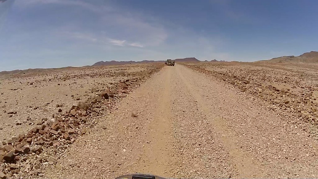
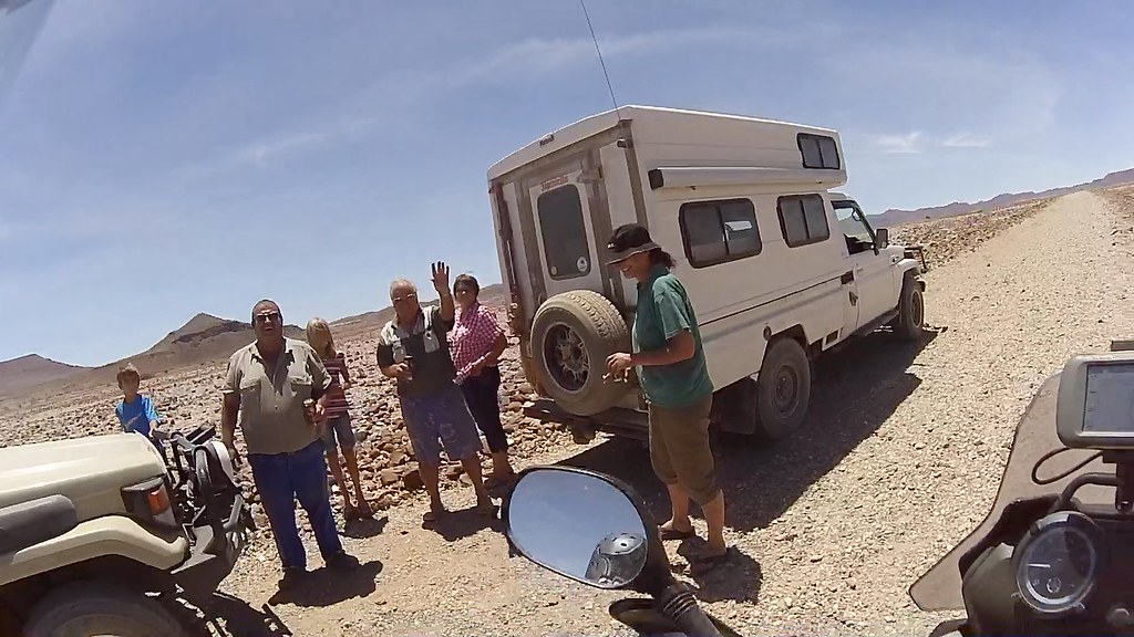
16896698212_503a4635ae_b.jpg


16710267708_e4b6371a37_b.jpg


16710311918_bf1221a34b_b.jpg


16275562984_9b31ea755d_b.jpg


From the Red Drum I continued north another 12 km to the southern boundary of the Marienfluss valley. The double track pretty soon changed from the rocky hard-pack to the red sand covering most of the valley:

16896779291_b38a8ab78f_b.jpg


16710362400_43ebfb9660_b.jpg


16896784171_9cf5aeb57e_b.jpg

Small settlement where they Red Drum guys was from:

16277788973_d3f50dd744_b.jpg

And back to the sand:

16275397864_0d6edd8bc6_b.jpg

Little Himba kraal:

16710369670_343992ce61_b.jpg


16896560472_10decc9c4a_b.jpg


16711630419_f5ffd08e8c_b.jpg


16896564112_96171752d0_b.jpg

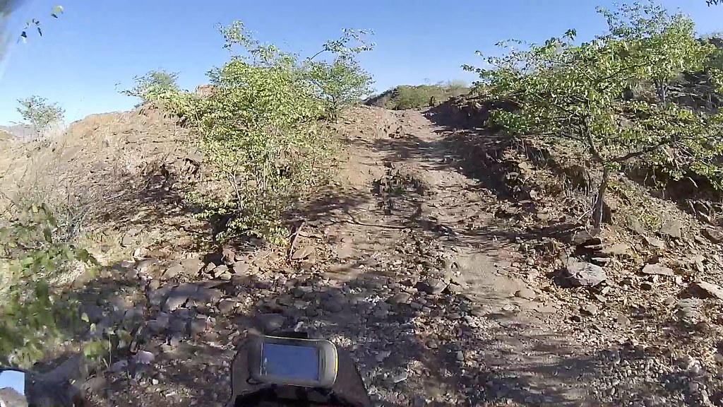
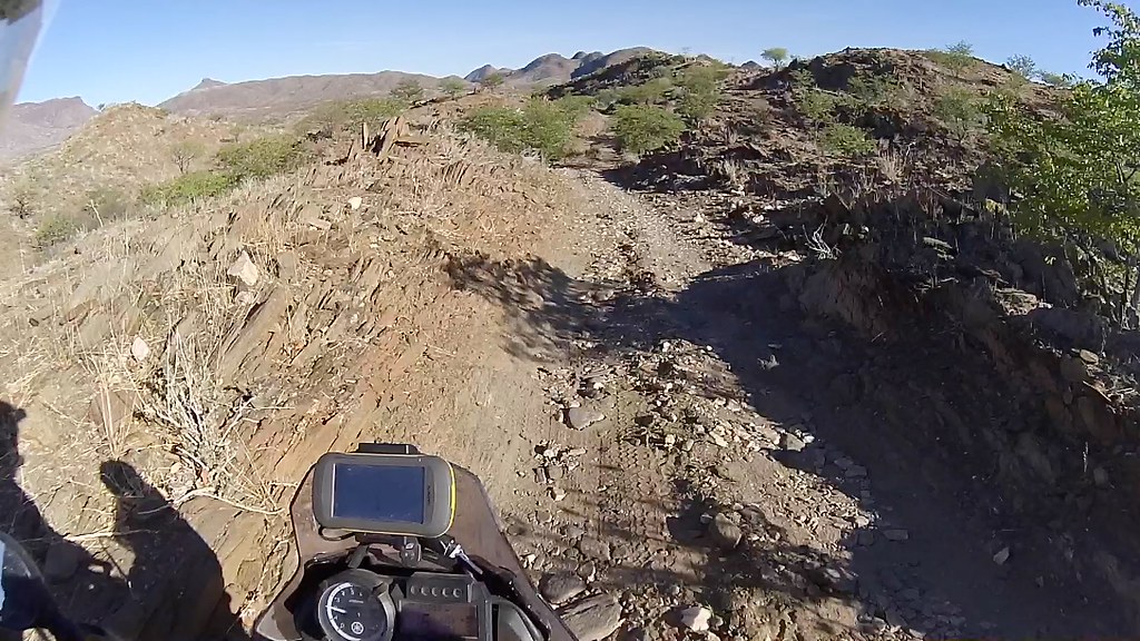
At the southern end of the Marienfluss valley. My original plan was to ride 60 km up the valley and sleep over in the Syncro camp in Otjitanda (I think) and return next day for the VZP ride. But I was short of time and decided to skip Marienfluss and head straight to the VZP.
16710297288_93dffe1232_b.jpg


16710579340_45a70d83a1_b.jpg


16277995833_dd1eaf5f21_b.jpg

Here is another shameless plug of my ride up the Marienfluss valley on my last trip:

[flash=800,600]https://www.youtube.com/v/ClNcmFS2fU0[/flash]​


Instead of heading north to Otjitanda, I turned east and followed sandy track along the southern boundary of the valley to the Van Zyl's pass 12 km away:

16277803613_db345083d8_b.jpg


16710379100_7a82d33291_b.jpg


16897798985_9075434011_b.jpg


16710383090_b2c849ea28_b.jpg


16710384660_de4d23d4c5_b.jpg

And into the mountains:

16711649399_058a2b6606_b.jpg


16710392690_c53cd6b95b_b.jpg


16871906466_48624e93eb_b.jpg


16711655109_deb1e0af9b_b.jpg


Bottom of the VZP, where I took another breather to psyche myself up before hitting the pass:

16690677677_bdcbde6d41_b.jpg


16897007971_c2dd2261d4_b.jpg

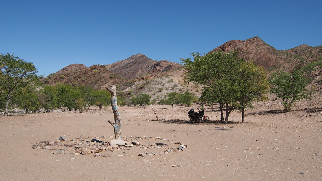
The pole to which the Ford Ranger Odyssey marketing thingy - with two of my mates in it - nailed a plaque to remember this pinnacle of human achievement. To my dismay the plaque was gone - I planned to piss ritually underneath to mark the territory as off limit for any future commercial malarkey.

16275580944_a92a14a2cf_b.jpg

By now the summer heat was starting to bear down - what more could one hope for for ascent up the VZP:

16896981291_d94d632cbd_b.jpg


To be continued...
 
Thanks for the comments - keep them coming, need to get to the next page again  ;D.
 
I con't remember if you have answered this or not, if so I'll look for it, but do you set you camera to video whilst riding and then pull out screen shots or does it snap pics every couple of seconds and you sieve through them?
 
I record a video and then scrap pictures from the video at home. That way I have video and pictures - the picture quality is not as good as if I would have it set for the interval photo taking, but for ride report purposes it is good enough. I have used the interval photo taking - image taken every 5 - 10s once  before, but didn't like it as it usually takes  picture a second too early or too late.
 
Can't wait for the next installment, I have always looked at Van Zyl's pass and wondered if it is possible to go up from the South. Most people say it is not possible?

 
popipants said:
Geezzz. What a nice place to stay...in the middle of nowhere!


Sent from my iPad using Tapatalk

Are you excited yet for our trip after reading this!

Damn stunning
 
Had no idea it was not flat on the way to Rooidrom  :eek:

16871787916_8ee2cff6cd_b.jpg
 
Thanks for help funacide!

No it's not flat between Onjuva and Red Drum, it is actually more gnarly than VZP as far as I remember.

And yes, you can ride up the VZP - you are not supposed to do it in 4x4 as they destroy the track, but bikes are considered OK. There are few people on this forum who rode up. Whether I can make it up - you'll have to wait for the next instalment. It's coming this evening if I can shake off the horrible headache I have right now.
 
Xpat said:
Thanks for help funacide!

No it's not flat between Onjuva and Red Drum, it is actually more gnarly than VZP as far as I remember.

And yes, you can ride up the VZP - you are not supposed to do it in 4x4 as they destroy the trek, but bikes are considered OK. There are few people on this forum who rode up. Whether I can make it up - you'll have to wait for the next instalment. It's coming this evening if I can shake off the horrible headache I have right now.

Awesome, can't wait!
 
Top