


Walletjies
Pack Dog
- Joined
- Jun 22, 2011
- Messages
- 108
- Reaction score
- 0
- Bike
- Honda CRF-1100L Africa Twin
I posted my planned route and Trailrider gave some valuable input.
How many things can go wrong on a trip, none of which is bike related?
First, the day started later than planned as we had to take the kids to Oudtshoorn. Then I had to change my route as I planned to start from le Roux station.
I saw a route just outside Oudtshoorn, I wanted to do gravel to Herold and then tackle the first pass for the day.
At the turnoff was a roadblock, that was the easy part as everything was in order, but this greeted as across the Bakenskraal road:
(Image taken from Google earth!)
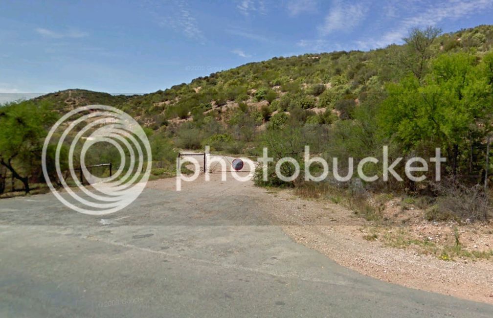
The reason why I had to take a google earth image -
The GoPro was still in the car!
OK, the road is closed in any case let's go back, get the camera and then hit the tar to Herold to get the trip going.
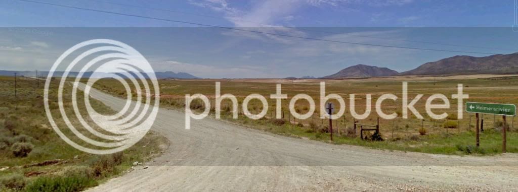
Flew past the roadblock after we got the camera, the GPS suggested a road to get back to our planned route, I obeyed and was grateful because it was a delight to ride the road to Heimersrivier.
Why an image form Google earth?
Well, we did not take a picture there.
(The rest will all be our own pics!)
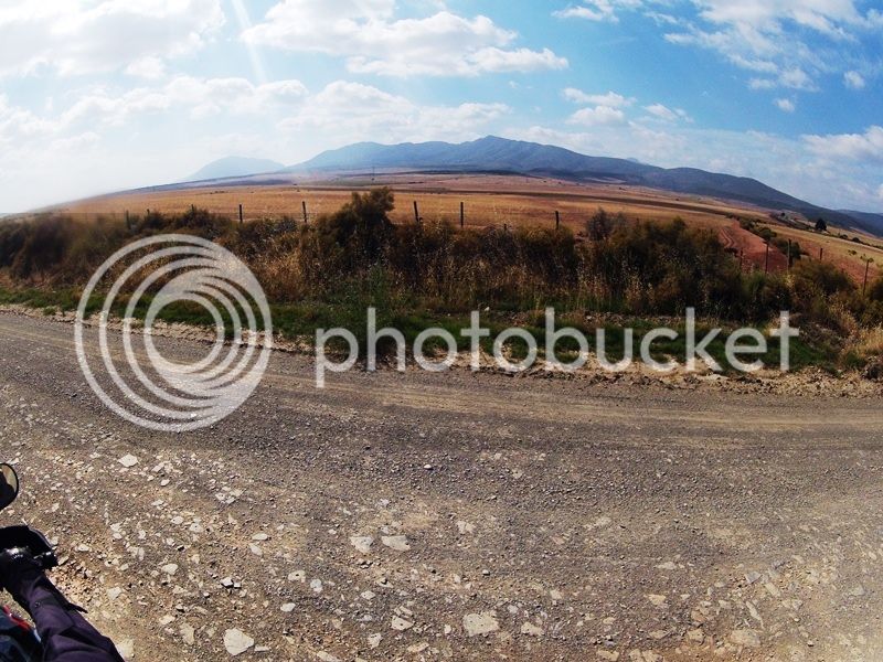
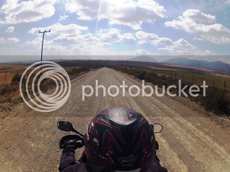
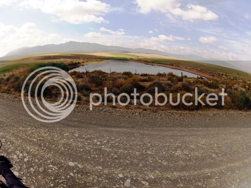
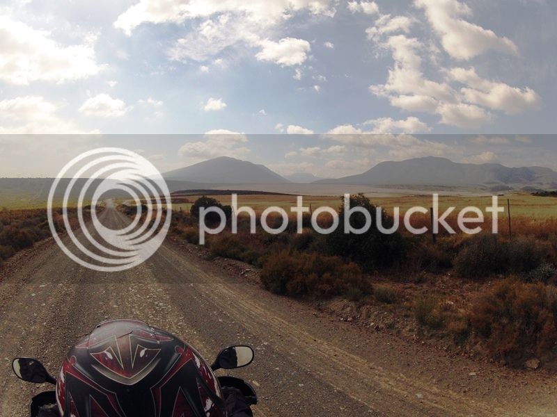
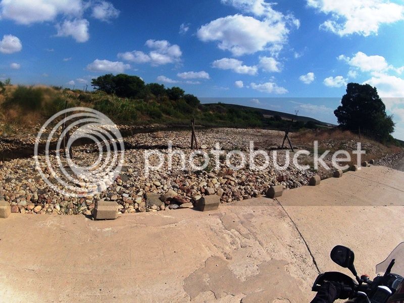
As I said, I enjoyed the road, the next pics was taken from the turnoff to Herold.
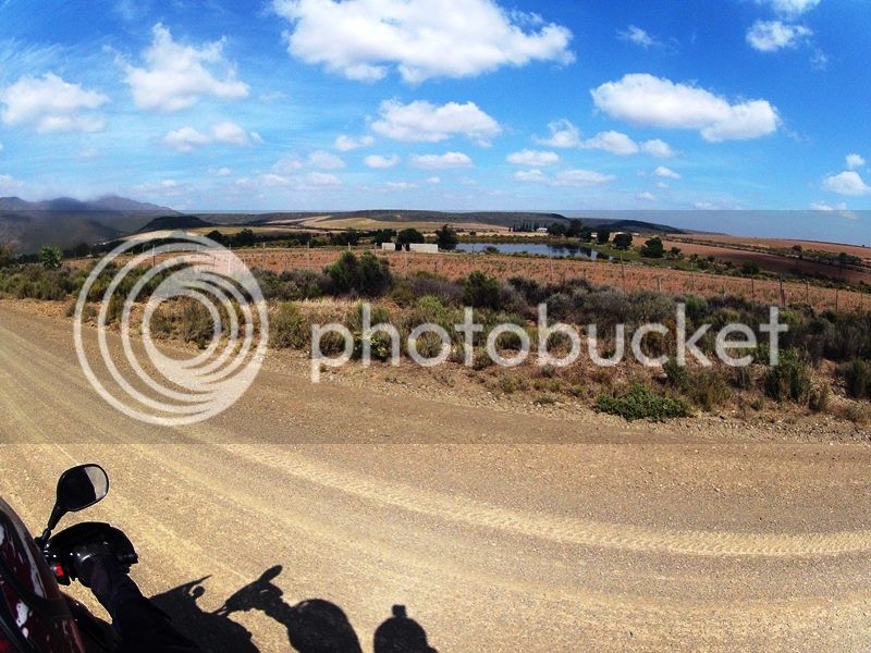
R50 van ABSA vir die persoon wat kan sê wat die poort se naam is tussen Heimersrivier en die N9.
I write this in Afrikaans as I don't know what a poort is in English!
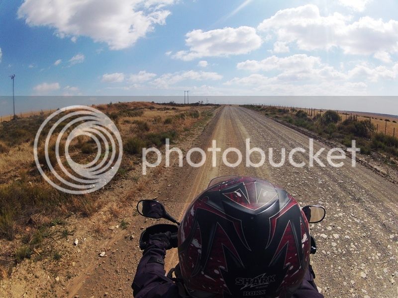
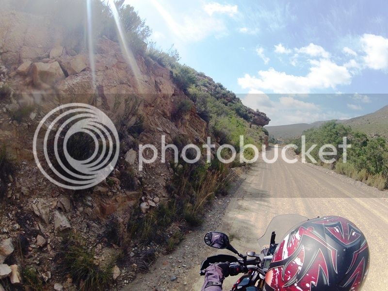
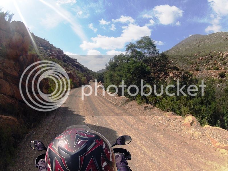
It is always nice to ride a road for the first time!
My wife was clicking away, I am trying to post only the best.
How many things can go wrong on a trip, none of which is bike related?
First, the day started later than planned as we had to take the kids to Oudtshoorn. Then I had to change my route as I planned to start from le Roux station.
I saw a route just outside Oudtshoorn, I wanted to do gravel to Herold and then tackle the first pass for the day.
At the turnoff was a roadblock, that was the easy part as everything was in order, but this greeted as across the Bakenskraal road:
(Image taken from Google earth!)
The reason why I had to take a google earth image -
The GoPro was still in the car!
OK, the road is closed in any case let's go back, get the camera and then hit the tar to Herold to get the trip going.
Flew past the roadblock after we got the camera, the GPS suggested a road to get back to our planned route, I obeyed and was grateful because it was a delight to ride the road to Heimersrivier.
Why an image form Google earth?
Well, we did not take a picture there.
(The rest will all be our own pics!)
As I said, I enjoyed the road, the next pics was taken from the turnoff to Herold.
R50 van ABSA vir die persoon wat kan sê wat die poort se naam is tussen Heimersrivier en die N9.
I write this in Afrikaans as I don't know what a poort is in English!
It is always nice to ride a road for the first time!
My wife was clicking away, I am trying to post only the best.
")


