


wayneh
Race Dog
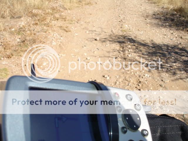
Thought I'd go visit the Khomas Hockland and checkout some of the roads marked on the GPS. Ended up learning some very important facts... 1. The GPS is not always right :deal: (specially when navigating the less travelled roads); 2. A innocent looking straight line on the map is often anything but > ; and 3. The Namib roads are great for losening bolts... And stress induced knots. :mwink:
Left home at 8.30am... pretty late by Cape Town standards (Andy660 & I were usually rocking by 7am most Sundays), but Windhoek is much slower to roll out the town roads and wake up the street robots - I stopped at the intersection of Independence Street (the main road through the city center) and for the three minutes before the robot changed there wasn't a sign of a car from ether direction. ;D
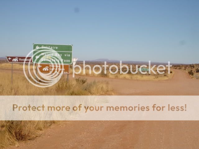
I had plotted a short (for Namibian) route on the GPS from Windhoek along the C26, onto an interleading trail towards the D1983, hook up with the D1412, and back on the C28. About 220km of major and mid-type dirt roads... And roughly 20km tar.
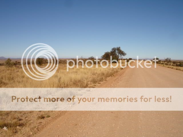
7km out of Windhoek the C26 (heading towards Solitaire or Walvis Bay) becomes a dirt highway. One could probably fit 4 lanes of cars and the surface is impressively smooth.
A nice looking mountain range follows the road on the right.

Passed the D1982 heading further south east.
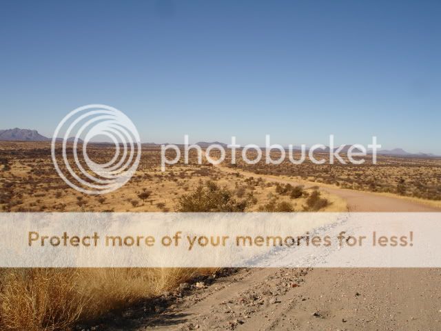
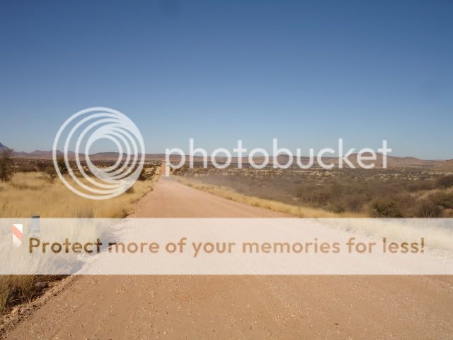
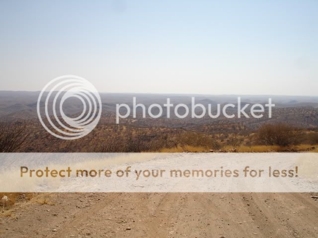
These roads stretch towards the furthest horizon.
The only other vehicle I saw on the C26 (there were more Baboons & Warthogs than people along the entire trip... Isn't that amazing)
Eventually the GPS said turn right now... Huh, but that's surely a simple farm trail?!? ??? :
But hey, if the GPS says it's a road then it's gotta be. Right!
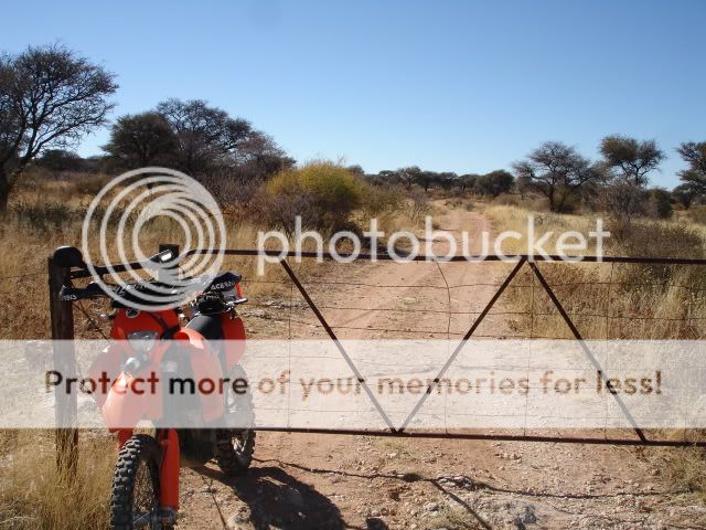
Three farm gates in just 5 km... This is gonna take a little time (specially since my side stand was missing-in-action).
I eventually bumped into the local farmer - well, almost. This interesting character came flying around a corner in a old MK2 Landrover (with no roof or doors) and about ten small dogs hanging onto different parts of the cab and rear storage section, narrowly missing me and came to rest in a cloud of dust. Fred bounded out of the dust and came straight at me with his pack of hounds diving of the Landrover behind him. A huge grin appeared on his weathered, tanned face and Fred greeted me like I was his long-lost son returning from the war ;D. After much talk and some laughter, I was updated with the reality that the trail simply lead to his farm and hadn't served as a public road since 1963. :
O well. Back through the farm gates and retraced my steps back to the D1982.
Noticed the change in the make-up of the dirt road.

The Khomas hills to my right.

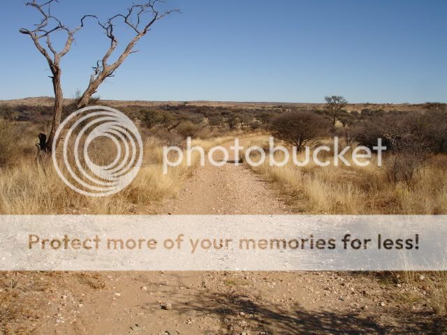
Right onto the D1412... This road looked like nothing that interesting on the map. Just 34km of dirt in order to connect into the C28 back to Windhoek. Eeish... Was I totally wrong. This was 34km of mind-blowing dirt heavon.

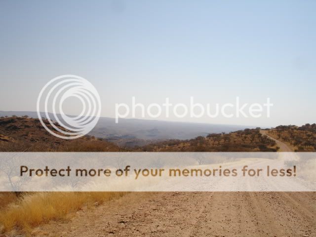
The road twists through and over a huge belt of hills.
Average speed of about 30km/hour due to the hundreds of steel descents & climbs, with numerous hairpins (usually directly after cresting a raise).
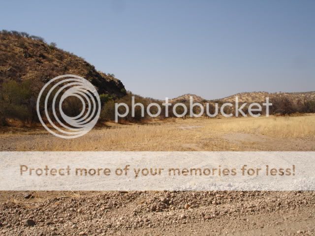
One of the dry river beds... this one was very wide.
A large troop of baboons were very upset with my arrival... Tried catching a phot of them up they seemed to be way too quick.

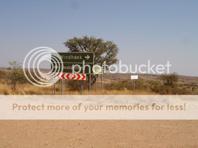
And connected with the C28.
This road is even better than the C26. Surely the C28 is good enough to rollerscate.

Noticed this interesting looking house on a hill about 40km out of Windhoek. The whole top section is made of metal and has impressive slotted windows.
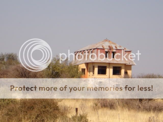
Found out later it was the Von Fancois Fort.
4 hours of great fun.
:thumleft:
; and 3. The Namib roads are great for losening bolts... And stress induced knots. :mwink:Left home at 8.30am... pretty late by Cape Town standards (Andy660 & I were usually rocking by 7am most Sundays), but Windhoek is much slower to roll out the town roads and wake up the street robots - I stopped at the intersection of Independence Street (the main road through the city center) and for the three minutes before the robot changed there wasn't a sign of a car from ether direction.
;DI had plotted a short (for Namibian) route on the GPS from Windhoek along the C26, onto an interleading trail towards the D1983, hook up with the D1412, and back on the C28. About 220km of major and mid-type dirt roads... And roughly 20km tar.
7km out of Windhoek the C26 (heading towards Solitaire or Walvis Bay) becomes a dirt highway. One could probably fit 4 lanes of cars and the surface is impressively smooth.
A nice looking mountain range follows the road on the right.
Passed the D1982 heading further south east.
These roads stretch towards the furthest horizon.
The only other vehicle I saw on the C26 (there were more Baboons & Warthogs than people along the entire trip... Isn't that amazing)
Eventually the GPS said turn right now... Huh, but that's surely a simple farm trail?!? ??? :
But hey, if the GPS says it's a road then it's gotta be. Right!
Three farm gates in just 5 km... This is gonna take a little time (specially since my side stand was missing-in-action).
I eventually bumped into the local farmer - well, almost. This interesting character came flying around a corner in a old MK2 Landrover (with no roof or doors) and about ten small dogs hanging onto different parts of the cab and rear storage section, narrowly missing me and came to rest in a cloud of dust. Fred bounded out of the dust and came straight at me with his pack of hounds diving of the Landrover behind him. A huge grin appeared on his weathered, tanned face and Fred greeted me like I was his long-lost son returning from the war ;D. After much talk and some laughter, I was updated with the reality that the trail simply lead to his farm and hadn't served as a public road since 1963. :
O well. Back through the farm gates and retraced my steps back to the D1982.
Noticed the change in the make-up of the dirt road.
The Khomas hills to my right.
Right onto the D1412... This road looked like nothing that interesting on the map. Just 34km of dirt in order to connect into the C28 back to Windhoek. Eeish... Was I totally wrong. This was 34km of mind-blowing dirt heavon.
The road twists through and over a huge belt of hills.
Average speed of about 30km/hour due to the hundreds of steel descents & climbs, with numerous hairpins (usually directly after cresting a raise).
One of the dry river beds... this one was very wide.
A large troop of baboons were very upset with my arrival... Tried catching a phot of them up they seemed to be way too quick.
And connected with the C28.
This road is even better than the C26. Surely the C28 is good enough to rollerscate.
Noticed this interesting looking house on a hill about 40km out of Windhoek. The whole top section is made of metal and has impressive slotted windows.
Found out later it was the Von Fancois Fort.
4 hours of great fun.
:thumleft:


