NiteOwl
Pack Dog
- Joined
- Dec 31, 2012
- Messages
- 98
- Reaction score
- 0
- Location
- Office Adventurer
- Bike
- Honda XRV 750 Africa Twin
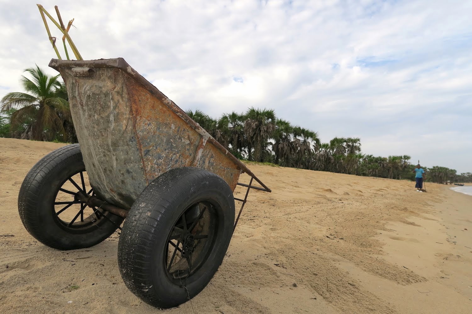
As in the towns, cleaners also sweep the beaches to remove what gets washed up and dropped down. It looks like wheel rims are in short supply- or maybe suitable axles are. Crabs scurry along the beach, popping in and out of their holes, rushing along the edge of the water.
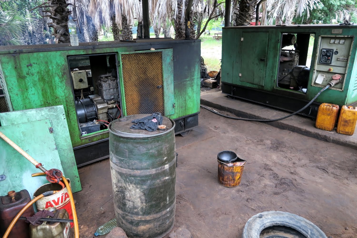
We take a look around our paradise, and find the lodge’s generators behind a screen. They are running flat out (like our aircon), making quite a racket. But with fuel aplenty, this is the way electricity is generated in most of Angola.
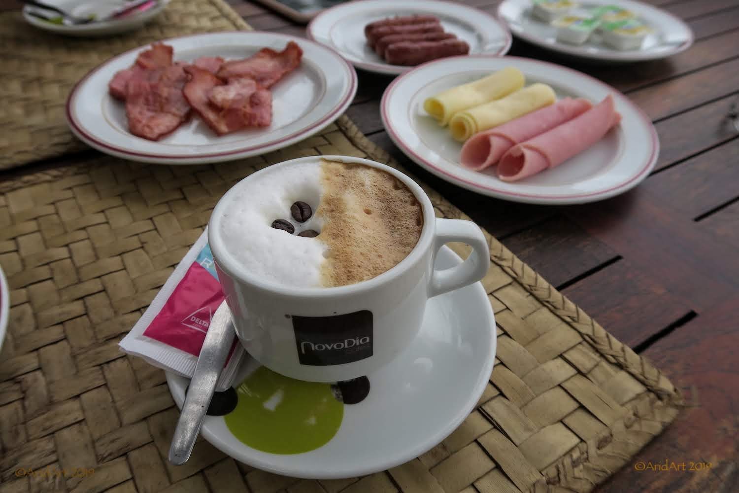
There’s bar at the deck and we sit down for the (free) continental breakfast. It’s surprisingly wholesome, as is the coffee! Only two other guests checked in last night, a French dancer who has a local "guide" in tow to show her around.
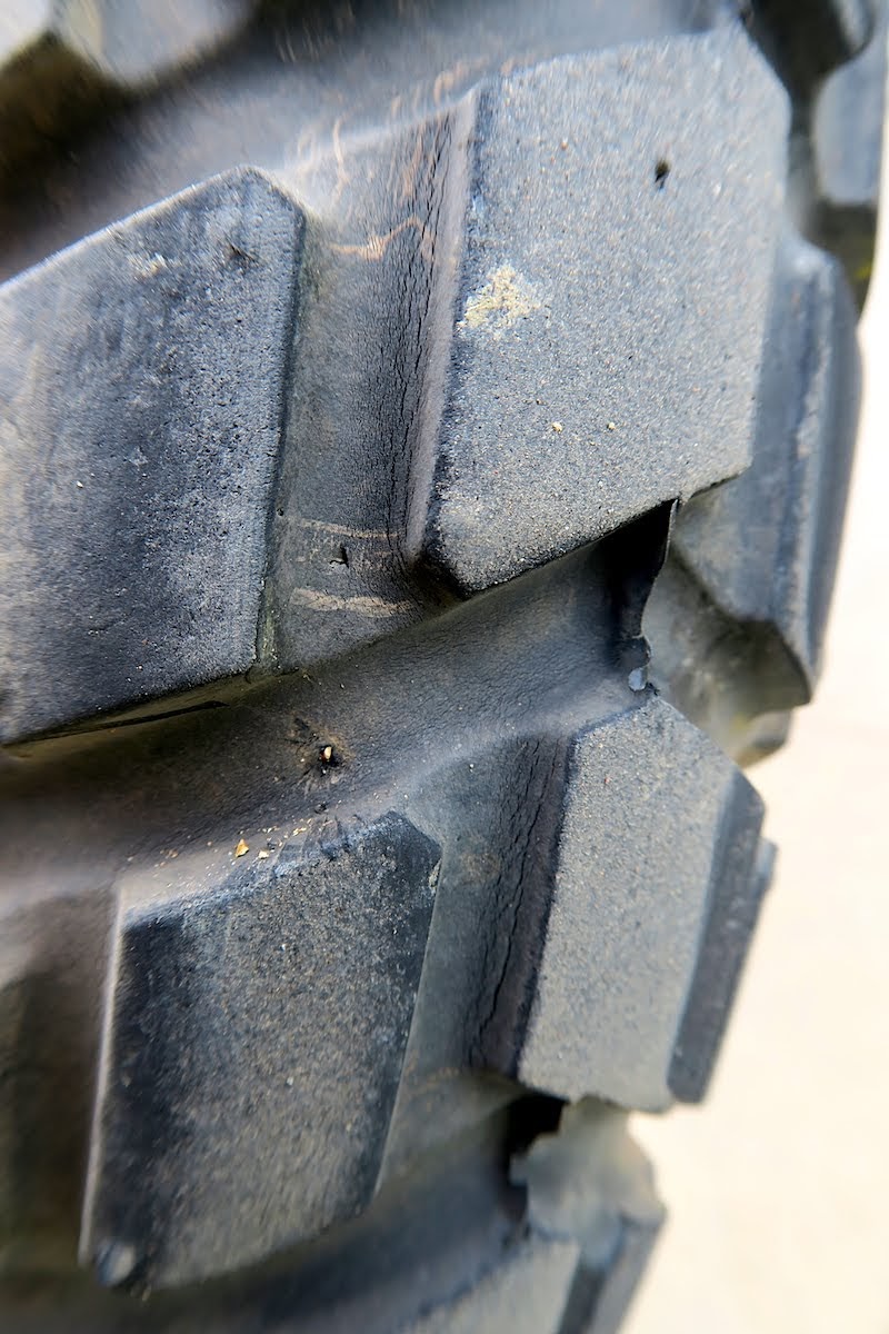
A cursory check on the bikes reveals a potential problem, which we remove just in time before it becomes a real one:
As we are about to depart, the receptionist comes over to ask where we are going. We want to go further north, but there seems to be a problem. After a lot of hand-waving it’s clear that there is no fuel until N’zeto, more than 200 km away. There’s no filling station in Barra do Dande either, but the lodge’s Kewiseki driver gets commandeered to show us where to get some.
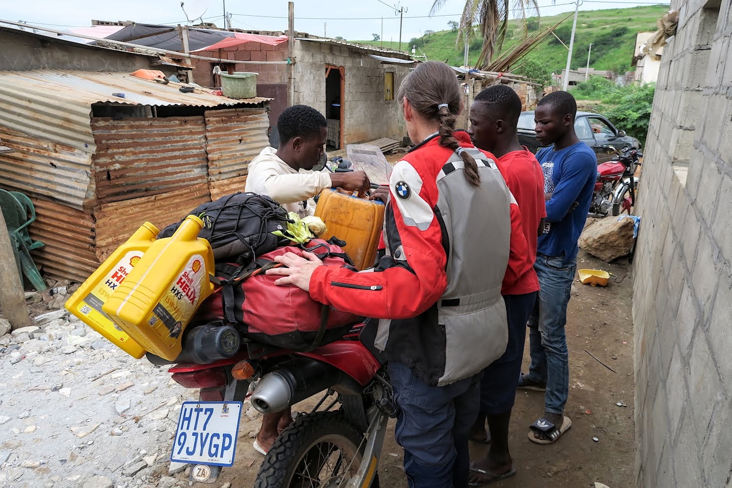
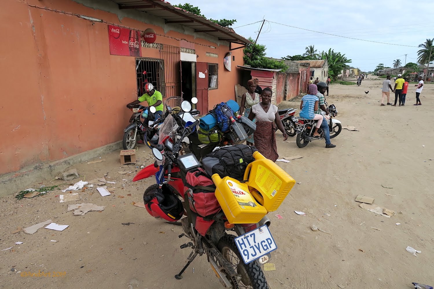
There’s a car packed with containers of fuel next to this “depot”. Pretty dangerous, the place reeks of fuel. Of course, there is a handsome markup on the pump price, but we buy extra to take an entire 20 litre container.
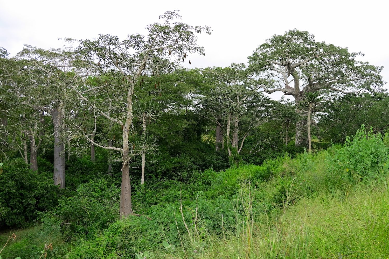
It’s after noon by the time we finally get moving. Initially, the progress is slow as the road is severely potholed and there's a fair number of trucks about. Not to mention the usual foot-, bicycle and scooter traffic. But soon enough we rejoin the main road, and can really open up. Despite the warnings to the contrary from our hosts, we find a fully equipped filling station just before the turnoff to Ambriz, the next coastal town. The vegetation is dense and varied.
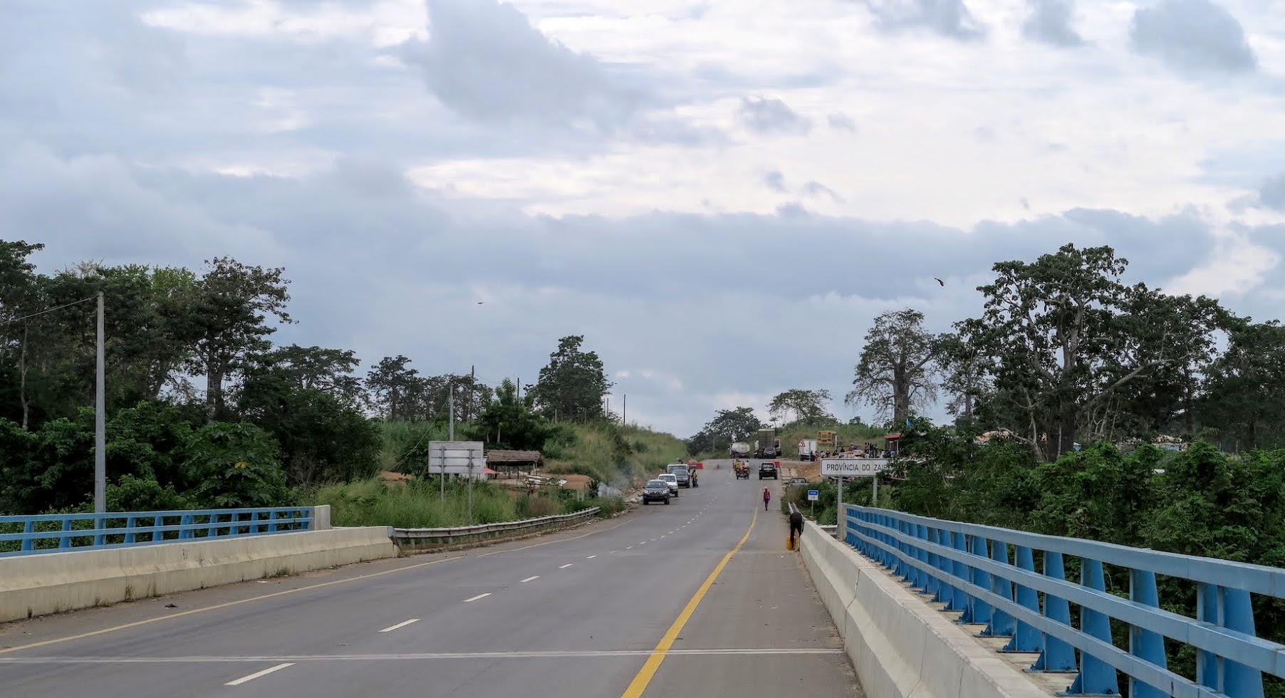
A quarter of an hour later we cross the Rio Pontas Freitas Morna (“warm river”) to enter Zaïre province- the same name by which the DRC was known during Mobuto Sese Seko's reign. The overlapping of names in this region is common, as the local tribes ebbed and flowed from one conqueror to the next until the borders of the African colonies were fixed during the Berlin conference in 1885.
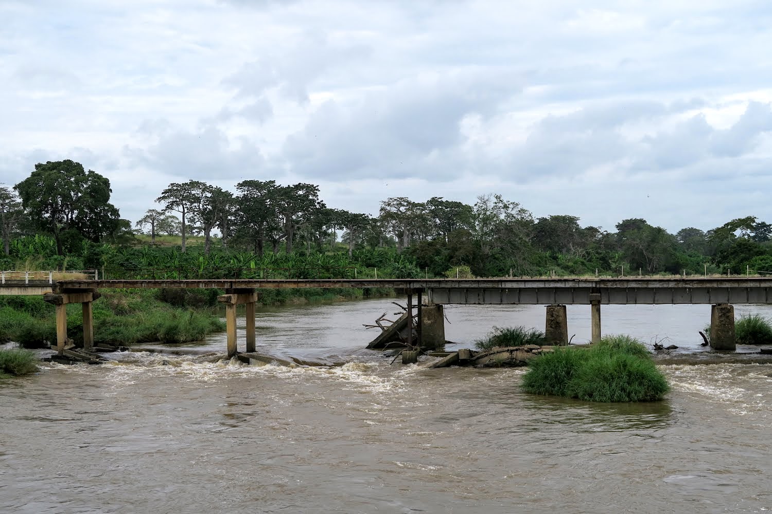
Upstream, there’s an old bridge with half of its girders missing. At the end of the new bridge, there’s the usual interprovincial police checkpoint but we are waved through.
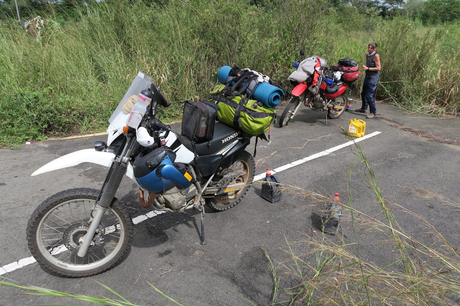
It’s time for something to eat, but the vegetation along the road is pretty dense until we find a short side road with a hut next to it. It’s very hot, and tsetse flies descend when we take our jackets off to decant the remaining fuel.
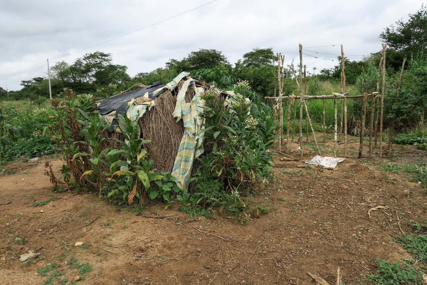
The hut is deserted.
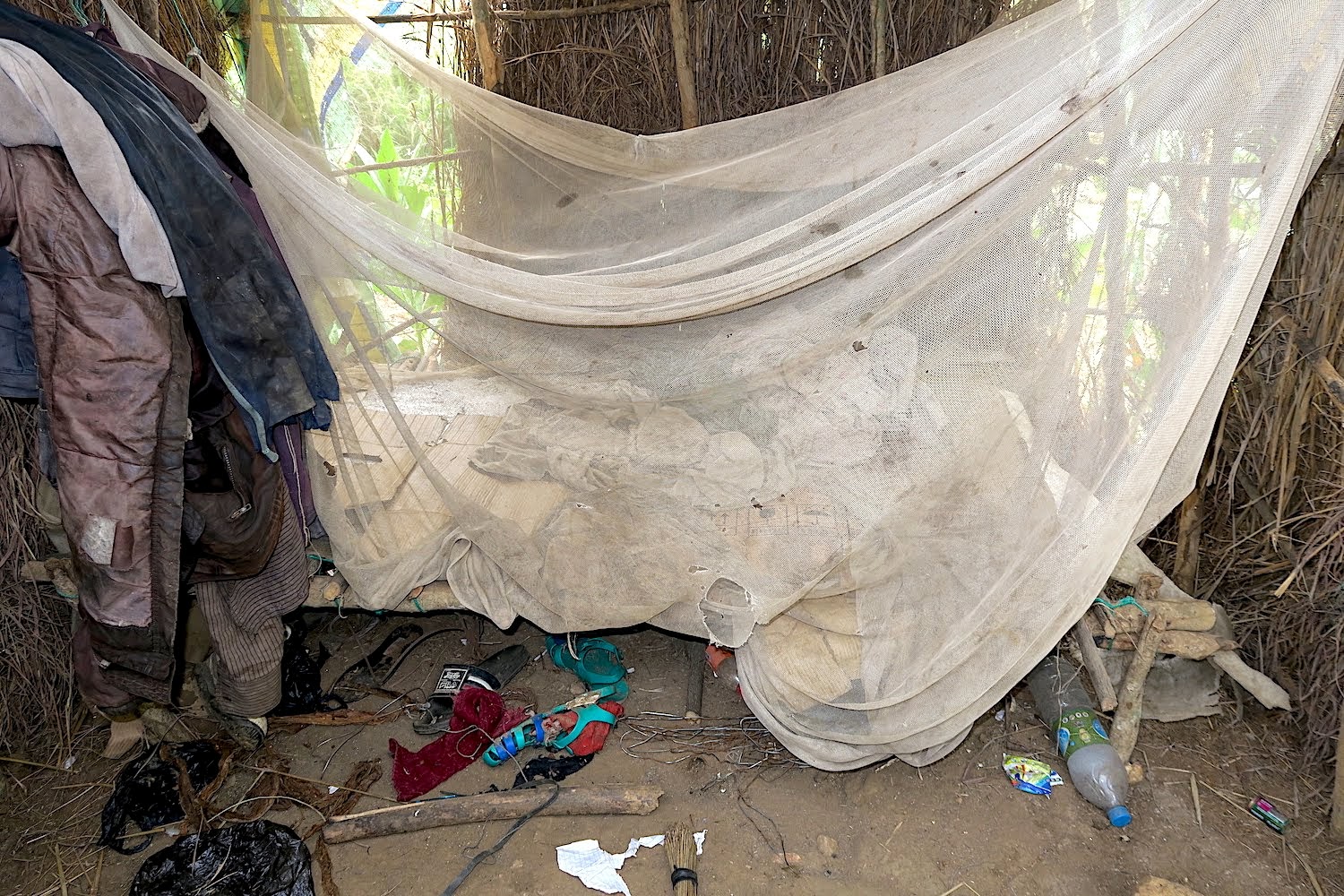
Some meagre belongings litter the area around the bed. The mosquito net does not look like it will repel the kind of flies zooming around here.
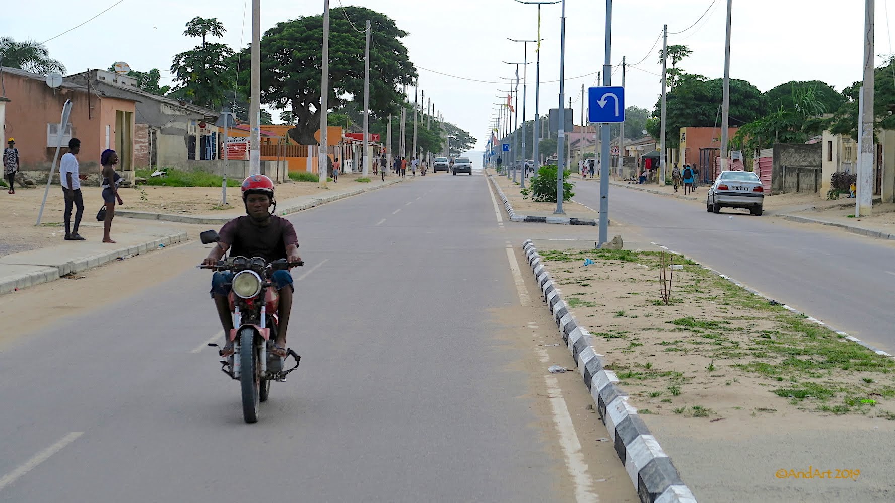
Progress is swift (some extra ponies from that dense sea-level air!) and it’s well before sunset when we pull up outside a bank in N’zeto. It’s a substantial place by local standards, complete with street lamps and a double carriageway leading to the port.
We have to make a call- stay or go? A man in a suit at the cellular shop speaks English (hurrah!) and says he is visiting his parents. He recommends the local hotel. It sounds tempting, but we really want to get across the border tomorrow- and that is still nearly 300 km away. So we decide to carry on until it is dark and stop at the supermarket at the edge of the town to get supplies for supper.
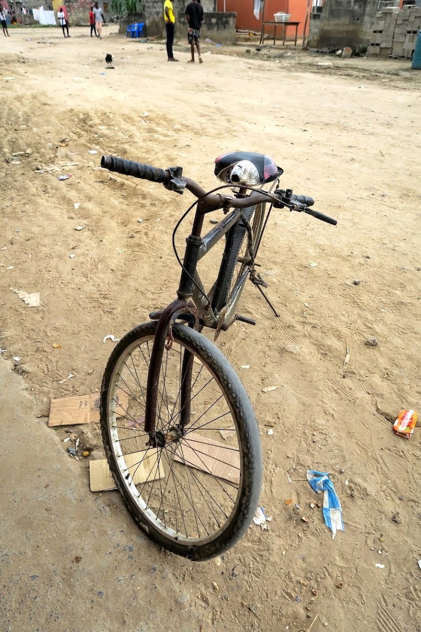
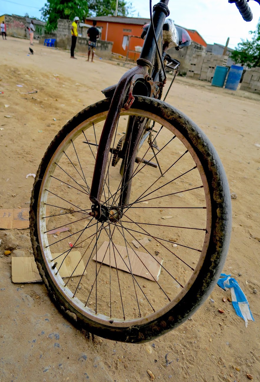
The local wheels look well used- quite a contrast with the MPLA models we saw near Xangongo. The tube is just about peeking out of the sidewall and brakes are a distant memory. Somebody kicks it over and a wheel falls out…
The next coastal town is Soyo, right on the mouth of the Congo river. It’s also the northernmost town of Angola, apart from the two main border posts with the DRC. At this point, the Congo river delta is 12 km wide, so a ferry ride is risky.
Further inland, Matadi used to be the main thoroughfare and we have a dummy booking for $120 at the Hotel Fortune there, which was required to obtain a visa into the DRC. Just outside this town is a suspension bridge across the Congo river, but the approach from the Angolan side is in a very bad state and we were advised against it.
The recommended route is inland from N’zeto through M’banza Kongo, so that’s where we are heading…and then promptly get flagged down by a police patrol. They’re friendly and helpful, and the senior officer speaks English. We had hoped to refuel en route, but once again get told that there’s no fuel (until M’banza Kongo), so we have to backtrack to the Sonangol filling station on the outskirts of N’zeto.
A welcome sight greets us at the pumps, and we chat to the driver, Nico van Niekerk:
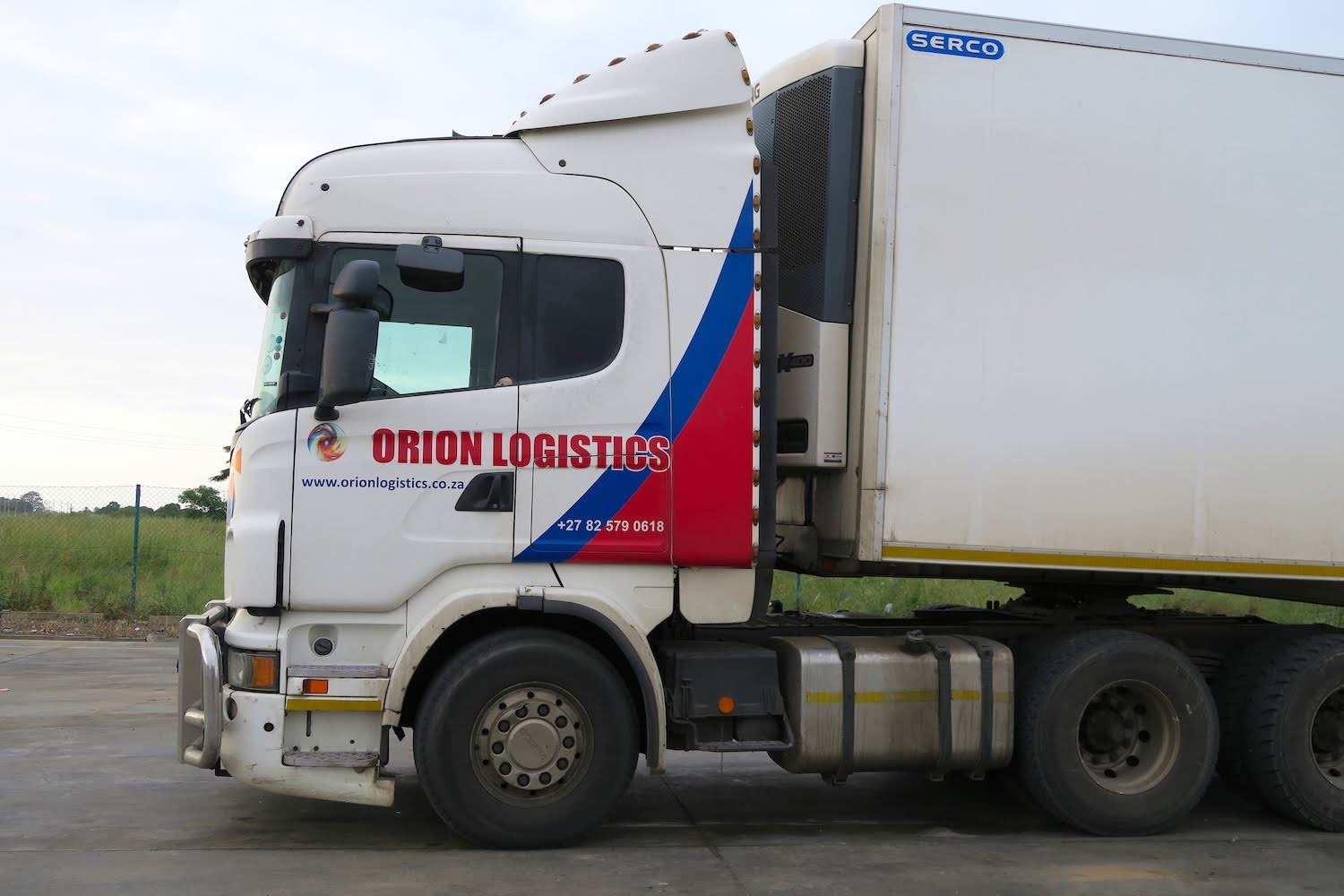
He is also en route to Luvo and confirms that there is no other practical way into the DRC at present. We exchange mobile numbers- you never know in a foreign country – and he also gives us the contact number of his fixer at the DRC border.
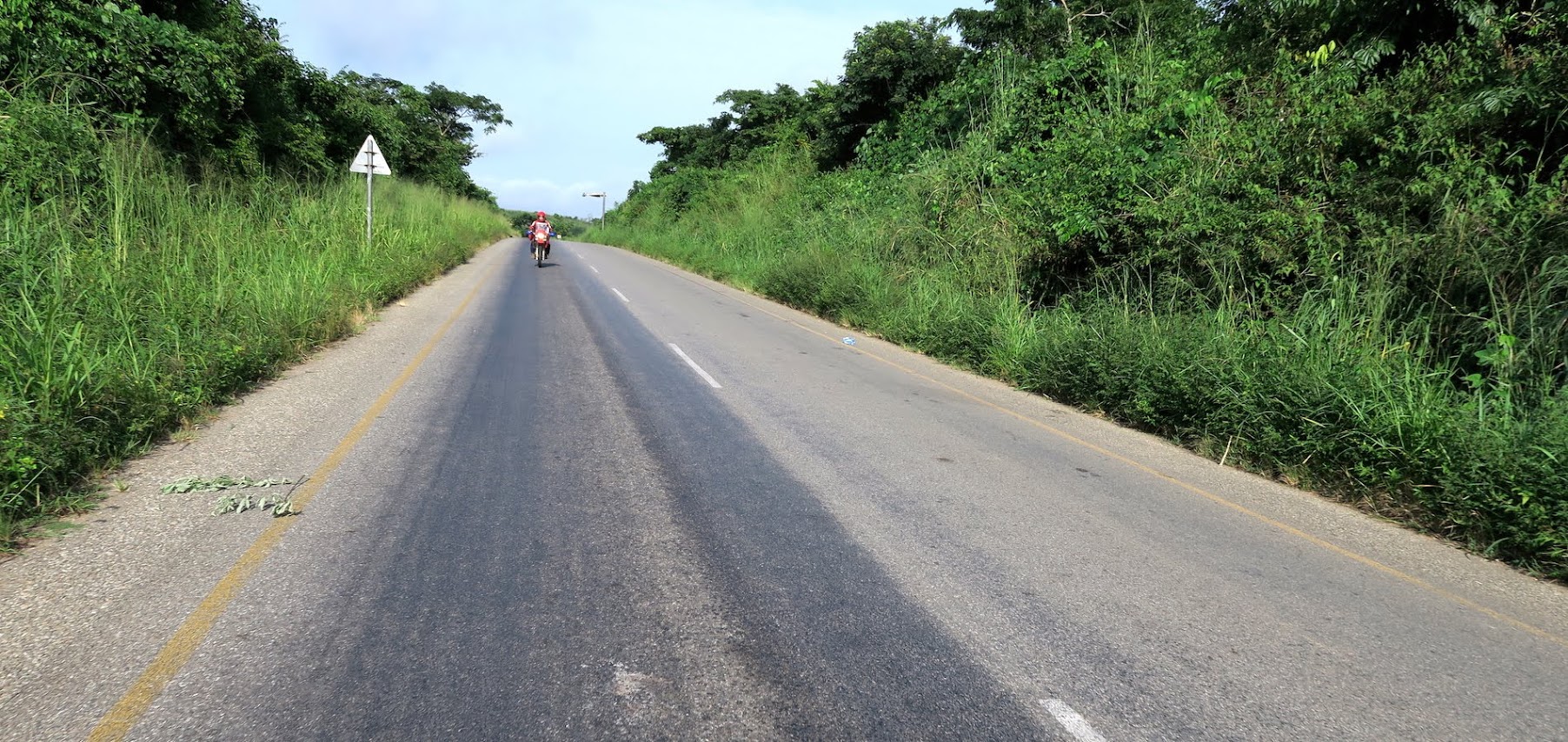
By the time we get back the police patrol is gone. Compared to the coastal road, we’re back on the straight and narrow here.
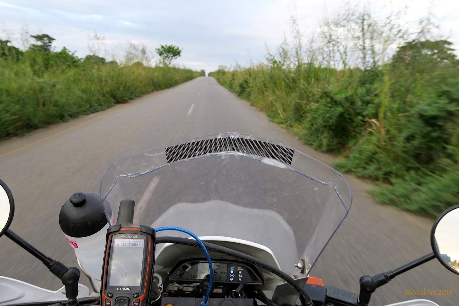
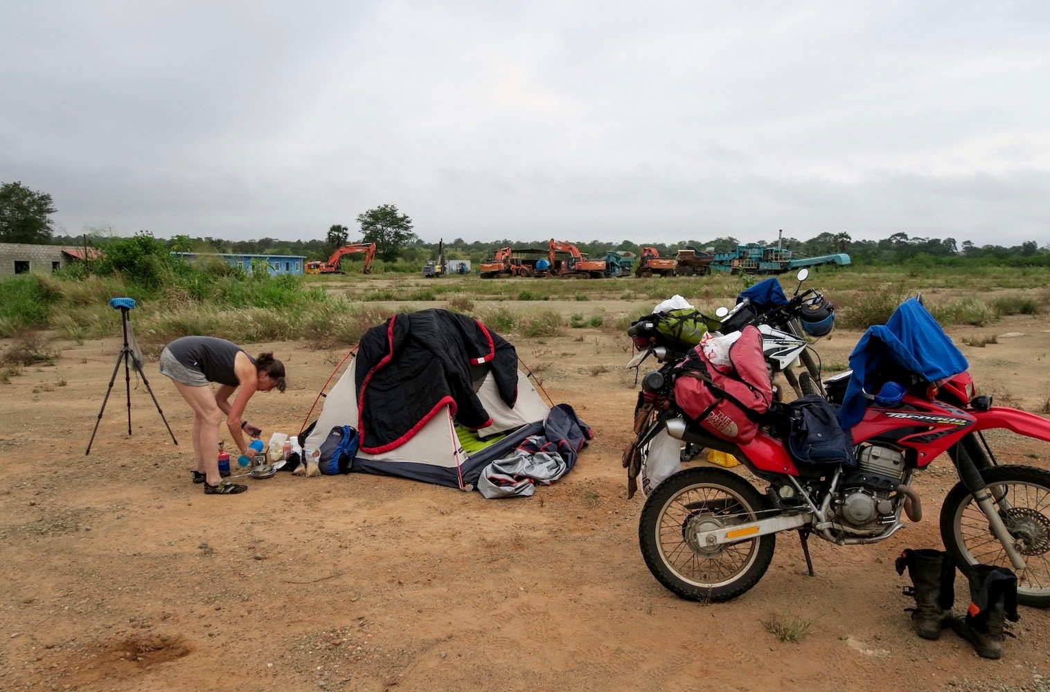
With this kind of dense vegetation we need to find a camping spot well before dark, and we don’t make much progress before we pass what looks like a deserted quarry. There’s a nice clearing behind the boom gate, ideal for pitching the tent.
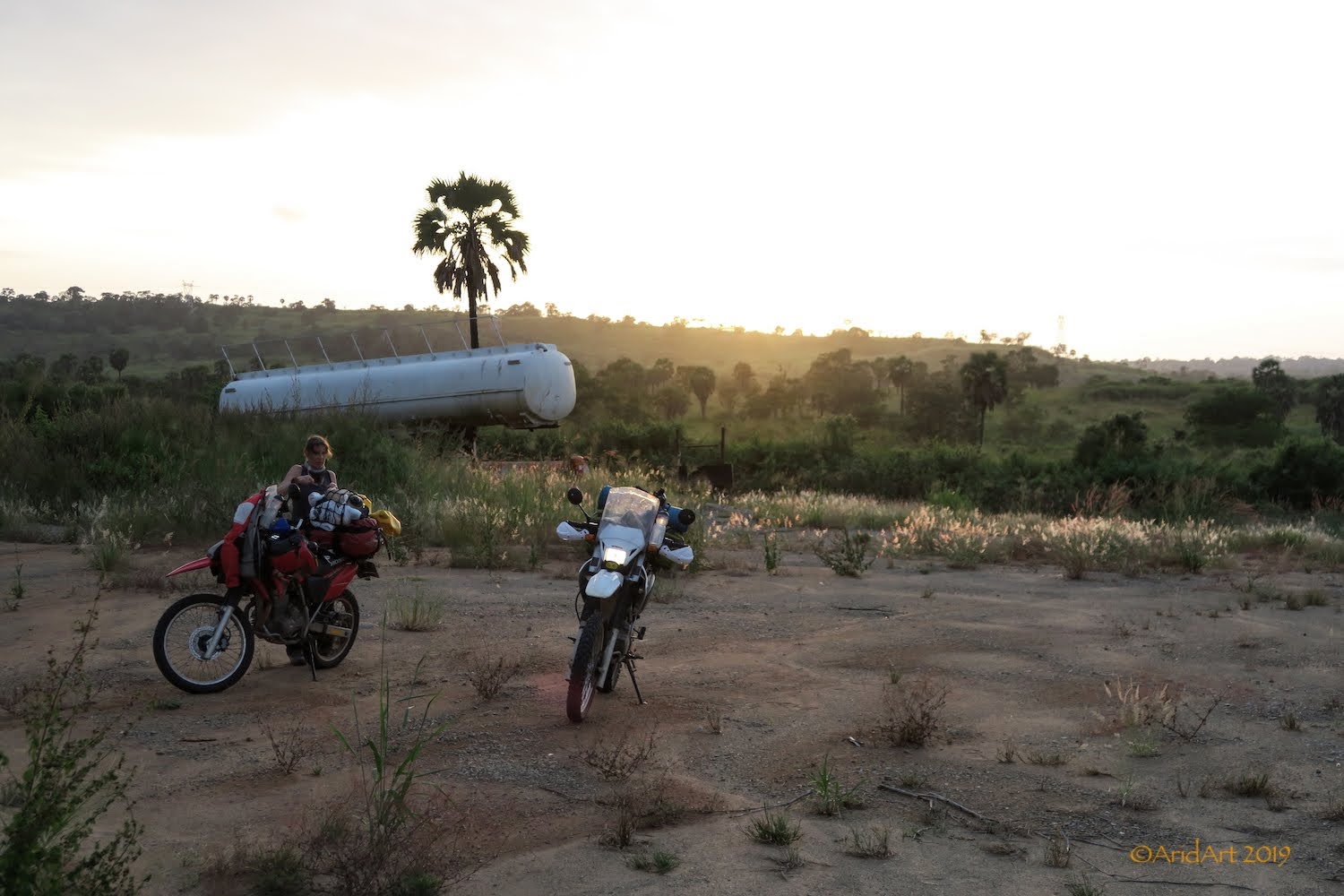
But the place is not deserted- an AK47 appears behind the boom, followed by its owner. Despite the firepower, he’s friendly enough and we’re let in. After handing over two Amarulas to the guard and his friend, all is well and we set up camp to enjoy a cold beer and cider as the sun sets.
After supper, it’s time for some light painting- bless this house!
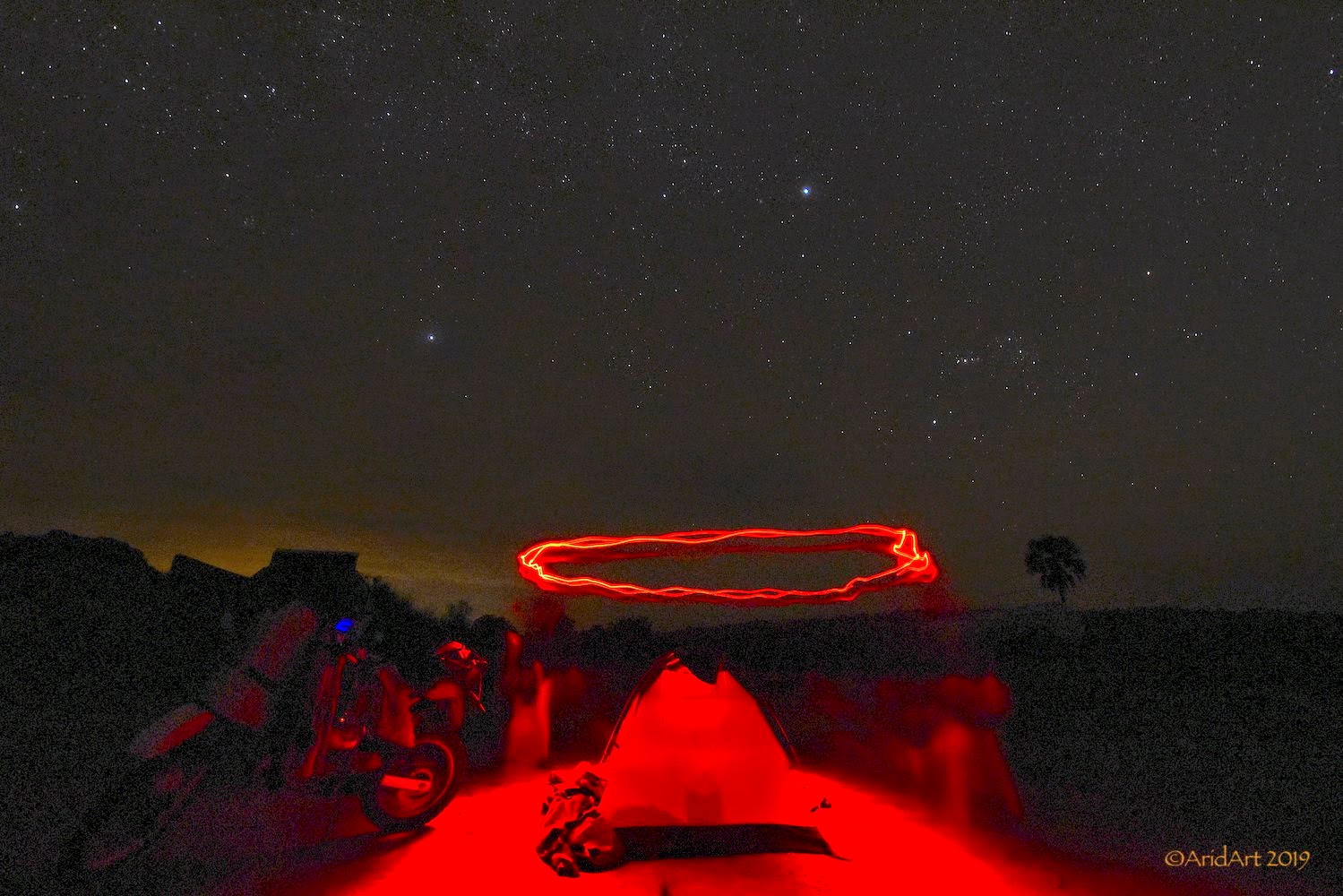
Our local version of Eskom glowing in the dark- no load-shedding here!
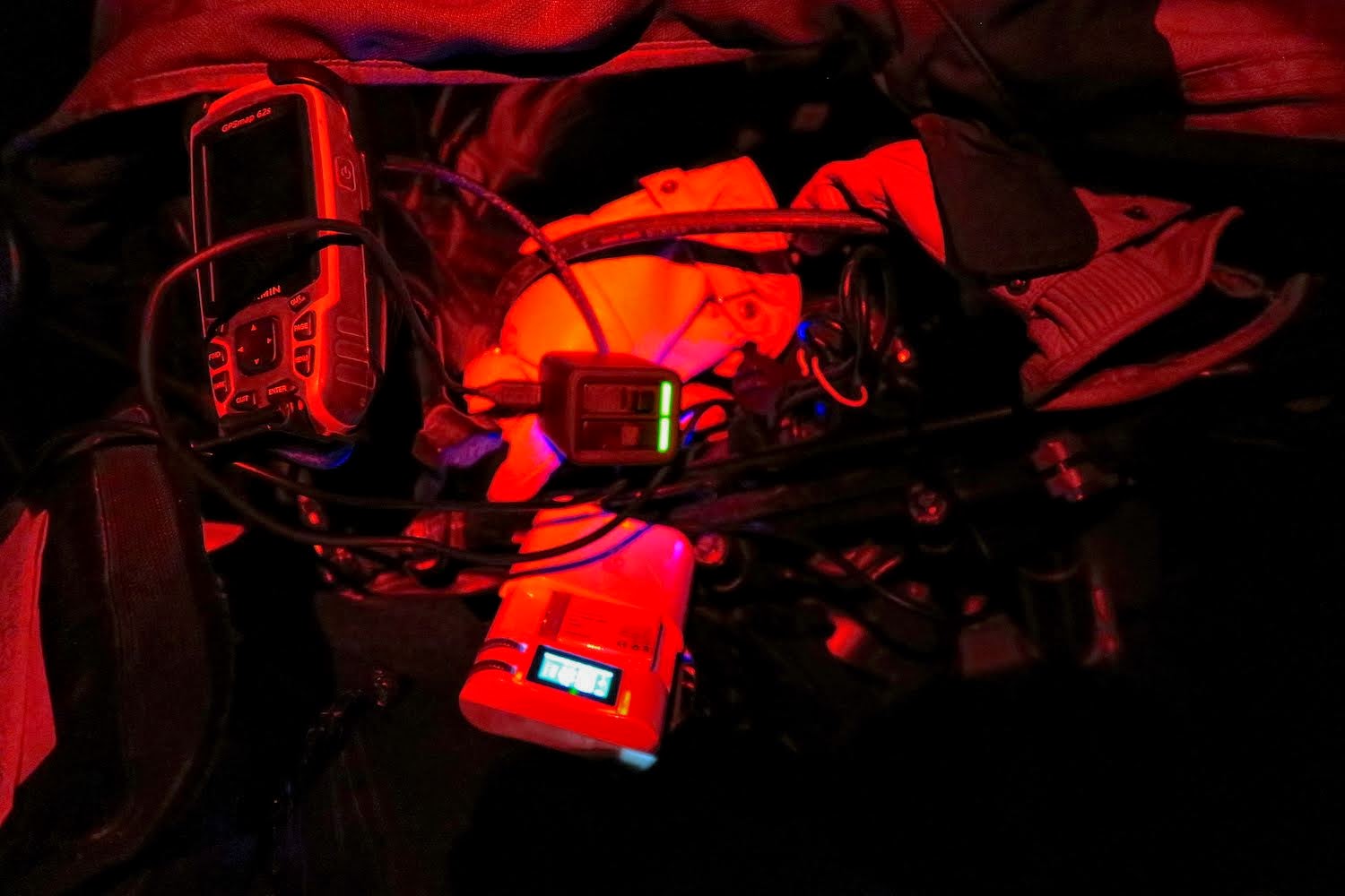
There’s a bit of a coastal fog as we make our breakfast the next morning, but it clears as the day warms up.
The flat coastal terrain gives way to hills and valleys- exhilarating riding!
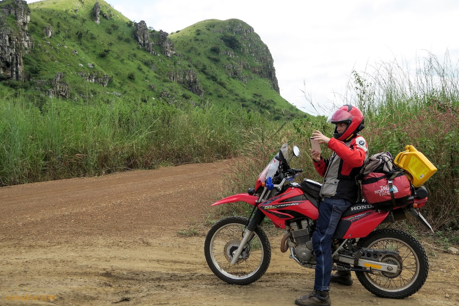
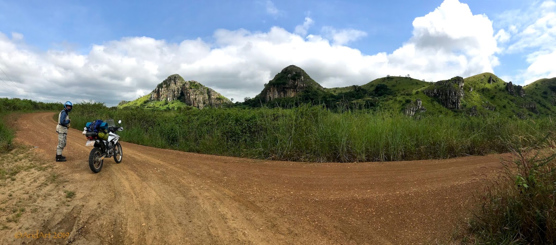
We pull over on a side road to enjoy the scenery.
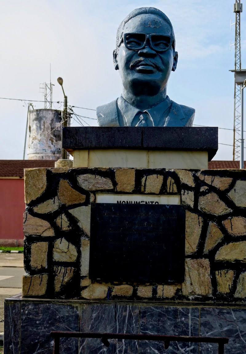
The first inland town worthy of the name is Tomboco. It boasts a dilapidated park with a statue of Agostinho Neto (who else?) opposite the police station.
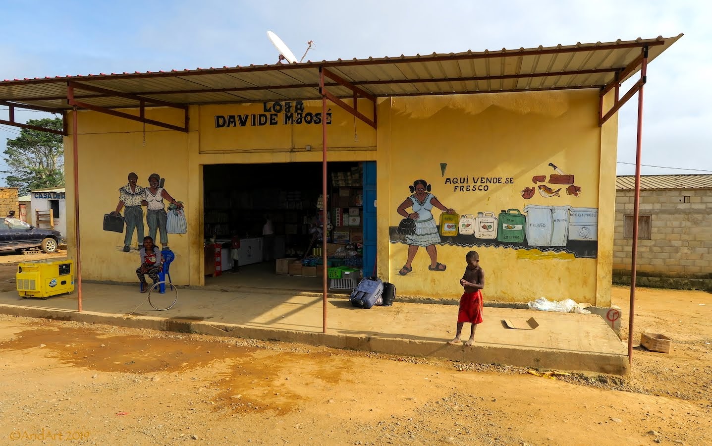
Sometimes surprises appear in the most unlikely places. Like the shops lining the streets on the other side of the park, where an artist has painted some charming murals on the walls facing the passing traffic.
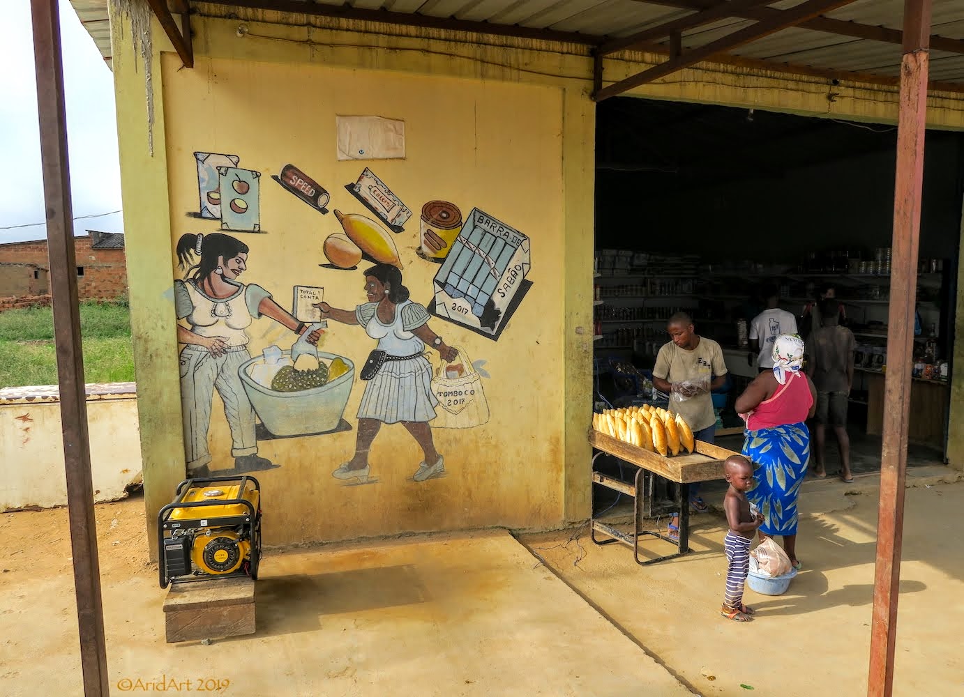
We pull over at a bakery to stock up on some fresh coffee supplies from a French merchant. The shelves are pretty full, and you can even get a Celine Dion DVD here!
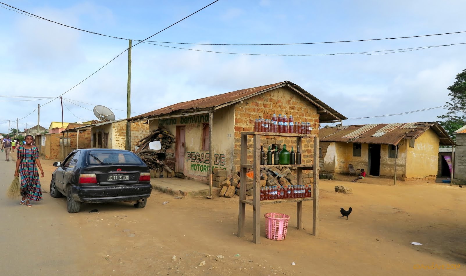
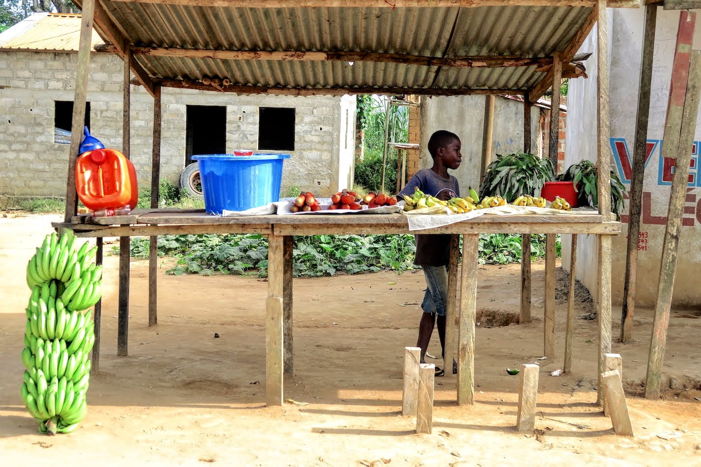
Although there’s no filling station (as mentioned by the cops) there’s bottled fuel aplenty on offer on the opposite side of the road as well as fresh fruit.
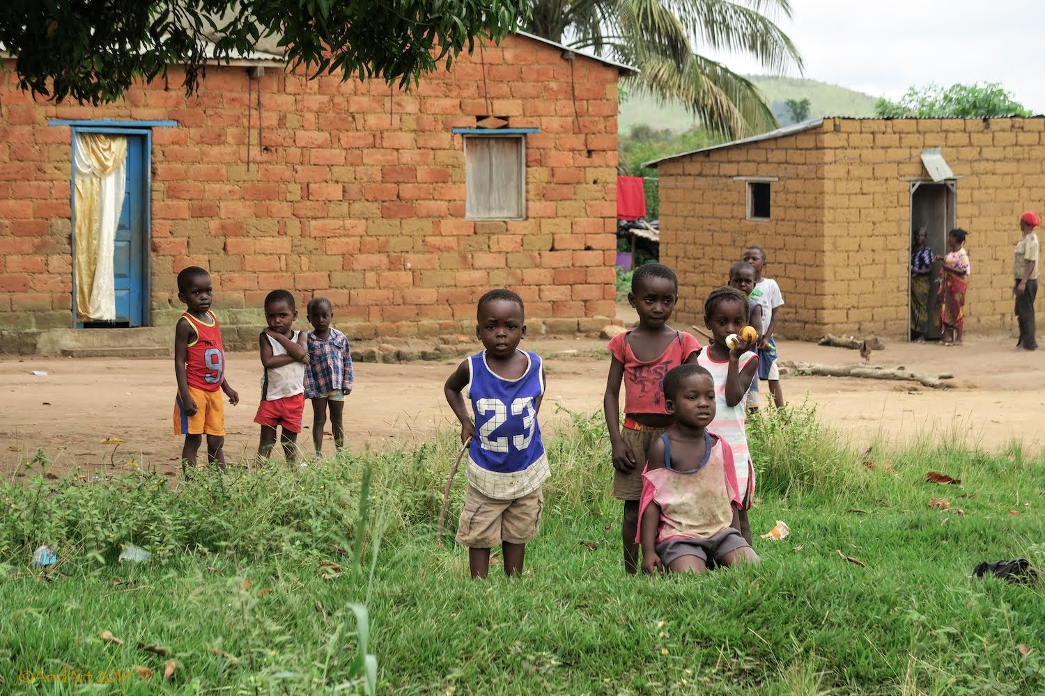
Angola is still unspoilt by tourism- although the kids will look at you when you pass by, there's no expectation of anything as is often the case closer to home.
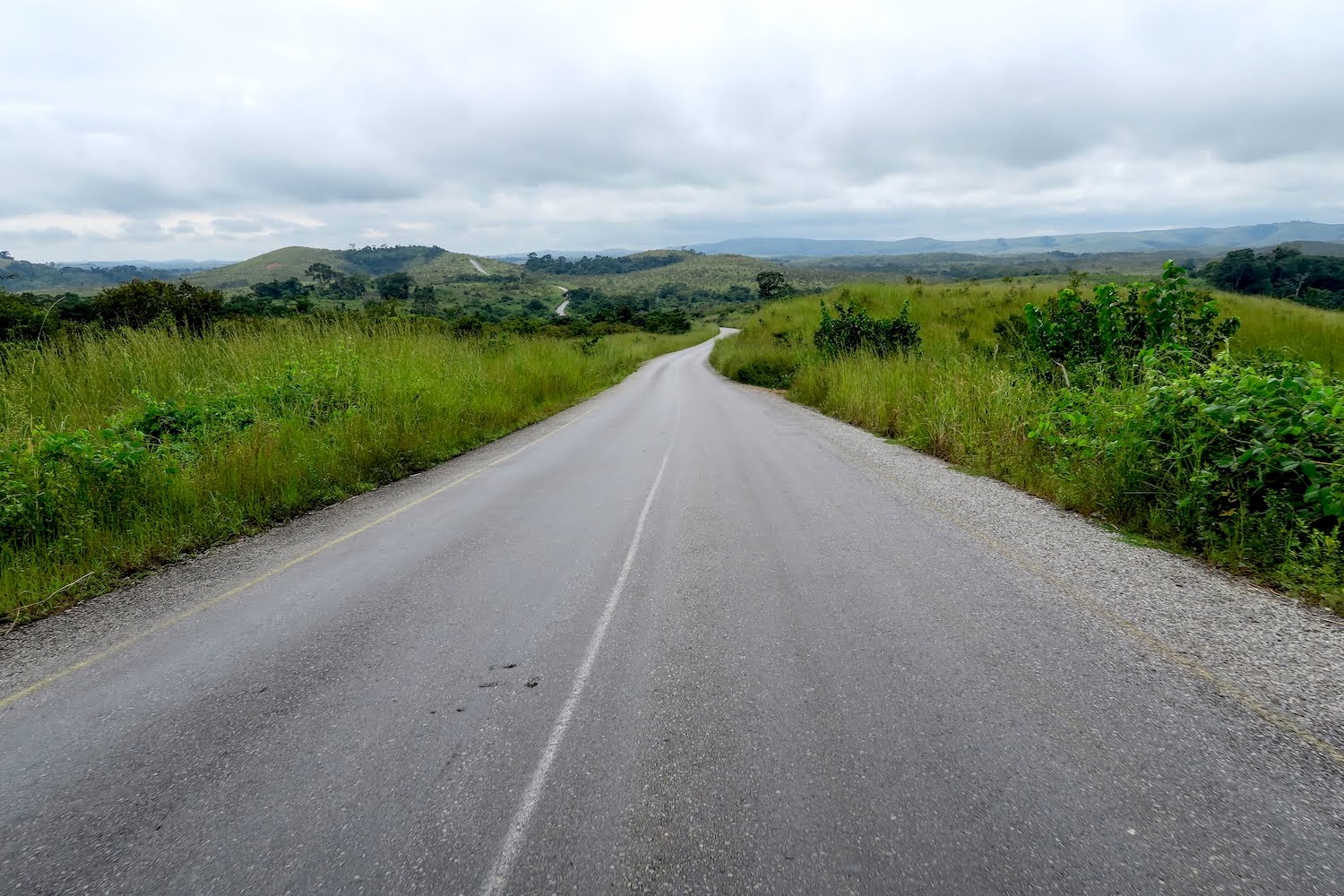
The route remains entertaining as it weaves up and down through the villages.
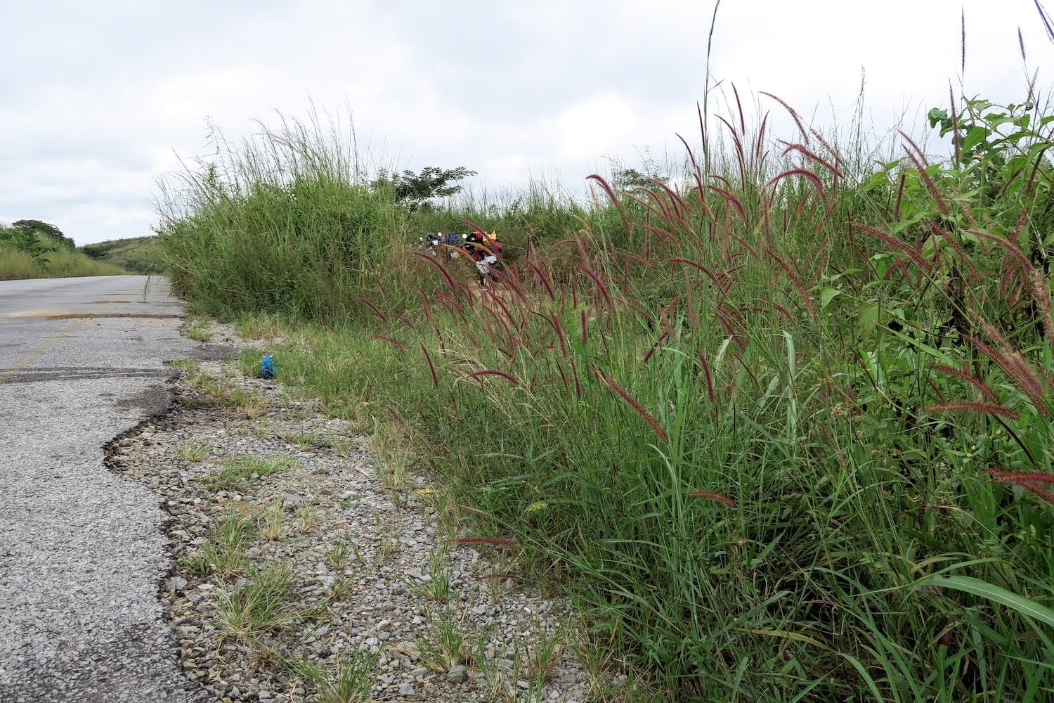
Once again pulling off the road for a coffee break is almost impossible until we spot a small side road opposite a set of cellphone towers. Easy to miss with the dense vegetation. Not so easy to miss is the throb of the generators powering the towers- as in most remote of Angola, they’re an easy choice when there’s no electricity but lots of fuel around.
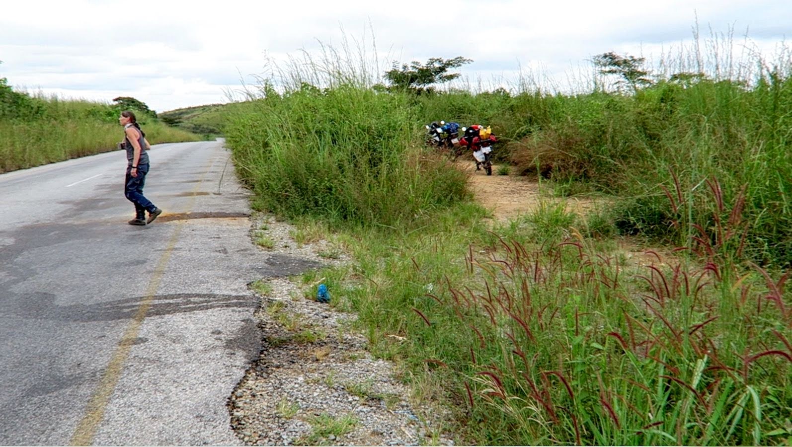
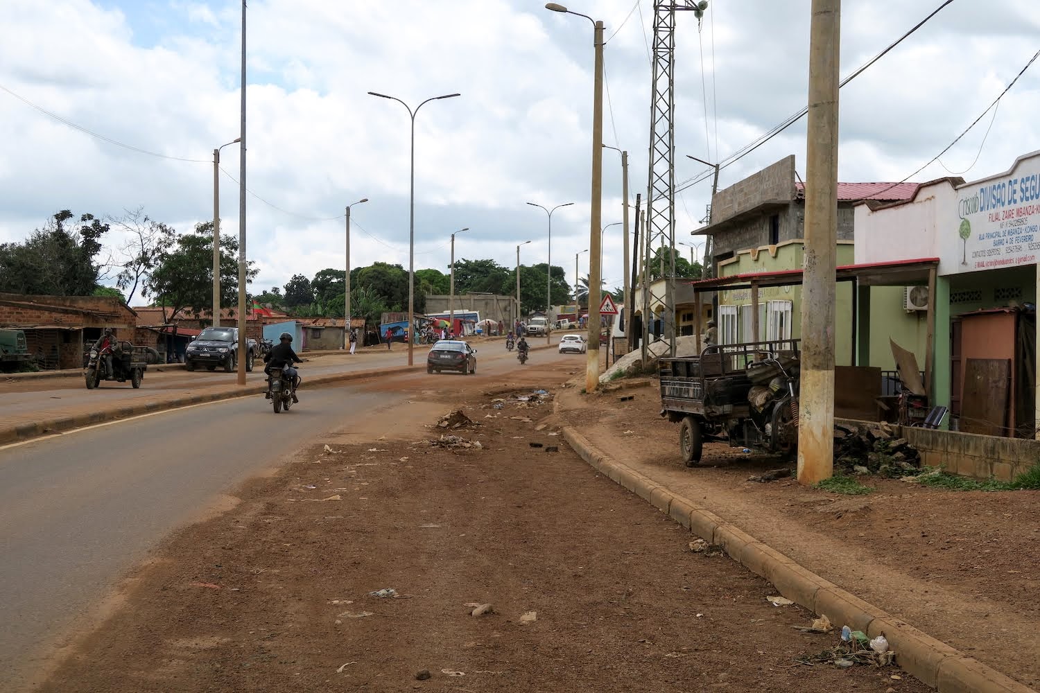
More villages line the approach to M’banza Kongo (City of Congo) until the road climbs noticeably to the town proper. This used to be the capital of the Kingdom of Kongo, founded around 1390. In 1482 the first Portuguese explorers arrived and later they renamed the city to São Salvador.
The Kongo rulers soon became dependant on European support to maintain control over smaller tribes, but the only commodity that they could trade for this support was enslaved prisoners of war, and they soon became an international currency.
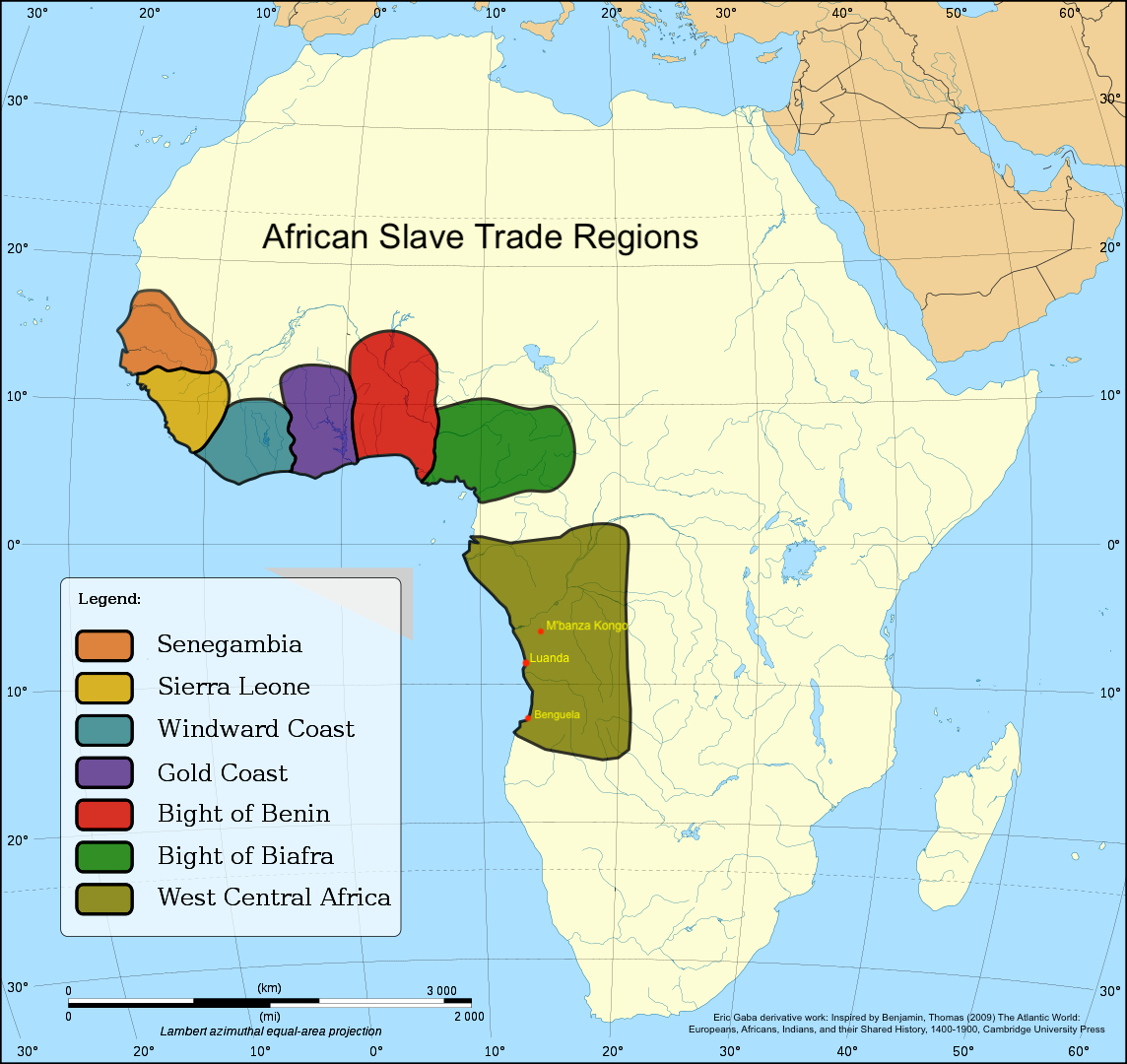
Angola became the principal source of slaves forced into the Atlantic Slave Trade to Brazil and the Caribbean, where they were in demand for the labour-intensive tobacco, cotton and sugar industries. These commodities were shipped to Europe, from where manufactured goods completed the trade triangle back to Africa.
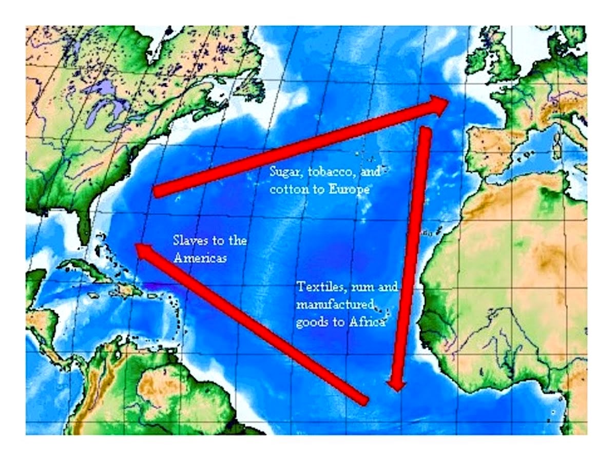
After the independence of Brazil, Portugal abolished the slave trade in 1836 and this forced the shift to alternative sources of income like rubber and the ivory trade. The Kongo kingdom ceased to exist in the early 1900’s when it was integrated into the Portuguese colony of Angola.
Today, little of the city’s past glory is visible, but worse than that: the bikes are on reserve and the pumps at the city entrance are dry!
Navigation proves tricky, due to (of all things) one way streets! At the upper end of town is an incongruous Soviet-style statue featuring a couple who have tamed the country: “Monument dedicated to the peasants of the kingdom of the Kongo”. The alsation on the leash looks rather out of place.
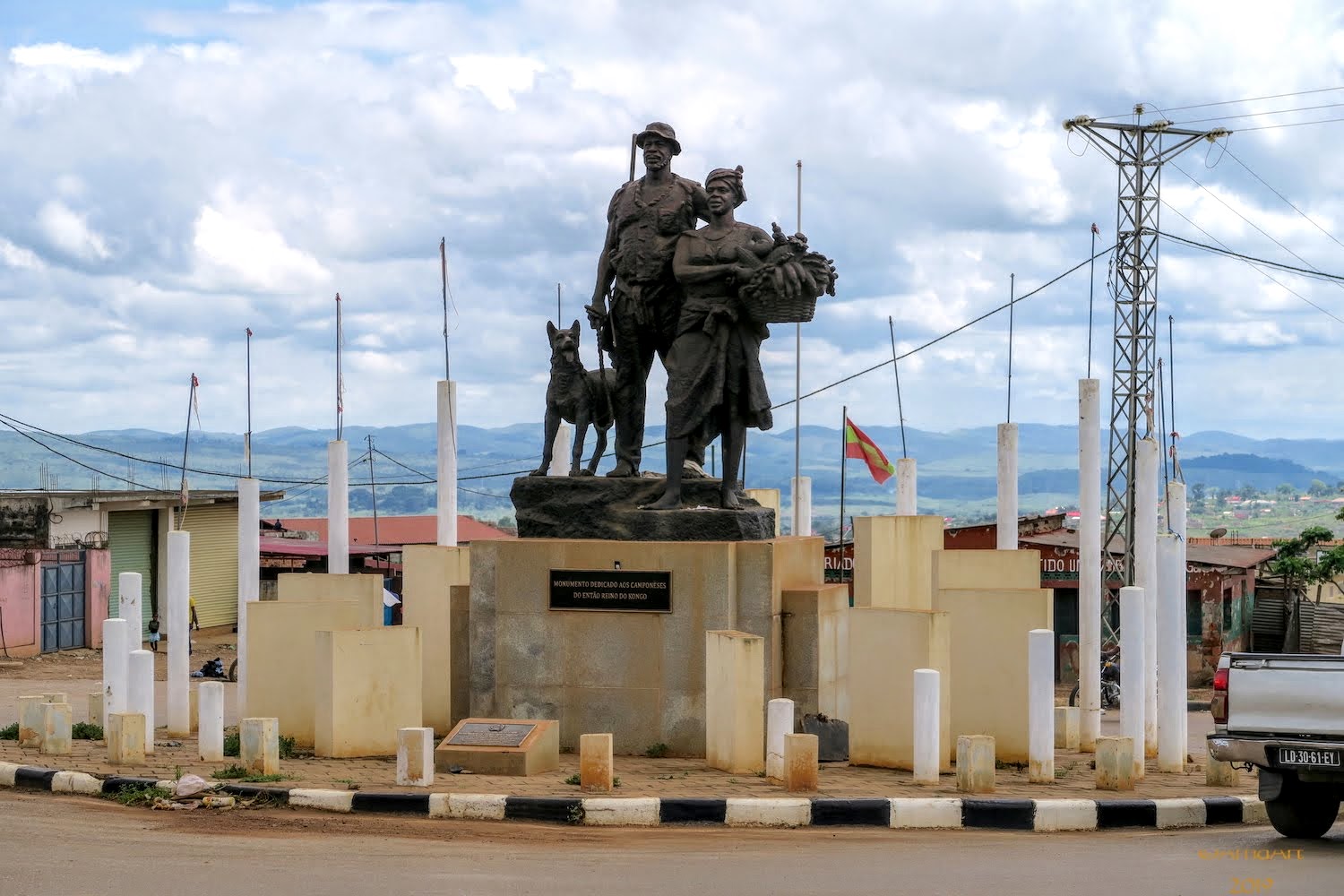
Rounding the statue we eventually find the way out and join the road to the border. I expect to see more filling stations here, and am not disappointed.
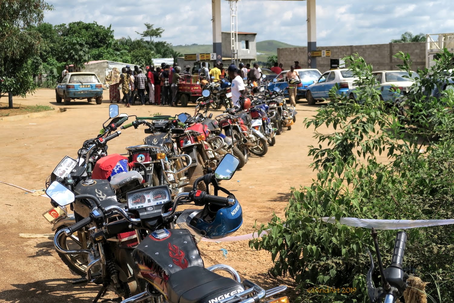
What is disappointing is the long queues of vehicles lined up for fuel. Most are not from Angola, but the DRC and we soon learn why.
We take a look around our paradise, and find the lodge’s generators behind a screen. They are running flat out (like our aircon), making quite a racket. But with fuel aplenty, this is the way electricity is generated in most of Angola.
There’s bar at the deck and we sit down for the (free) continental breakfast. It’s surprisingly wholesome, as is the coffee! Only two other guests checked in last night, a French dancer who has a local "guide" in tow to show her around.
A cursory check on the bikes reveals a potential problem, which we remove just in time before it becomes a real one:
As we are about to depart, the receptionist comes over to ask where we are going. We want to go further north, but there seems to be a problem. After a lot of hand-waving it’s clear that there is no fuel until N’zeto, more than 200 km away. There’s no filling station in Barra do Dande either, but the lodge’s Kewiseki driver gets commandeered to show us where to get some.
There’s a car packed with containers of fuel next to this “depot”. Pretty dangerous, the place reeks of fuel. Of course, there is a handsome markup on the pump price, but we buy extra to take an entire 20 litre container.
It’s after noon by the time we finally get moving. Initially, the progress is slow as the road is severely potholed and there's a fair number of trucks about. Not to mention the usual foot-, bicycle and scooter traffic. But soon enough we rejoin the main road, and can really open up. Despite the warnings to the contrary from our hosts, we find a fully equipped filling station just before the turnoff to Ambriz, the next coastal town. The vegetation is dense and varied.
A quarter of an hour later we cross the Rio Pontas Freitas Morna (“warm river”) to enter Zaïre province- the same name by which the DRC was known during Mobuto Sese Seko's reign. The overlapping of names in this region is common, as the local tribes ebbed and flowed from one conqueror to the next until the borders of the African colonies were fixed during the Berlin conference in 1885.
Upstream, there’s an old bridge with half of its girders missing. At the end of the new bridge, there’s the usual interprovincial police checkpoint but we are waved through.
It’s time for something to eat, but the vegetation along the road is pretty dense until we find a short side road with a hut next to it. It’s very hot, and tsetse flies descend when we take our jackets off to decant the remaining fuel.
The hut is deserted.
Some meagre belongings litter the area around the bed. The mosquito net does not look like it will repel the kind of flies zooming around here.
Progress is swift (some extra ponies from that dense sea-level air!) and it’s well before sunset when we pull up outside a bank in N’zeto. It’s a substantial place by local standards, complete with street lamps and a double carriageway leading to the port.
We have to make a call- stay or go? A man in a suit at the cellular shop speaks English (hurrah!) and says he is visiting his parents. He recommends the local hotel. It sounds tempting, but we really want to get across the border tomorrow- and that is still nearly 300 km away. So we decide to carry on until it is dark and stop at the supermarket at the edge of the town to get supplies for supper.
The local wheels look well used- quite a contrast with the MPLA models we saw near Xangongo. The tube is just about peeking out of the sidewall and brakes are a distant memory. Somebody kicks it over and a wheel falls out…
The next coastal town is Soyo, right on the mouth of the Congo river. It’s also the northernmost town of Angola, apart from the two main border posts with the DRC. At this point, the Congo river delta is 12 km wide, so a ferry ride is risky.
Further inland, Matadi used to be the main thoroughfare and we have a dummy booking for $120 at the Hotel Fortune there, which was required to obtain a visa into the DRC. Just outside this town is a suspension bridge across the Congo river, but the approach from the Angolan side is in a very bad state and we were advised against it.
The recommended route is inland from N’zeto through M’banza Kongo, so that’s where we are heading…and then promptly get flagged down by a police patrol. They’re friendly and helpful, and the senior officer speaks English. We had hoped to refuel en route, but once again get told that there’s no fuel (until M’banza Kongo), so we have to backtrack to the Sonangol filling station on the outskirts of N’zeto.
A welcome sight greets us at the pumps, and we chat to the driver, Nico van Niekerk:
He is also en route to Luvo and confirms that there is no other practical way into the DRC at present. We exchange mobile numbers- you never know in a foreign country – and he also gives us the contact number of his fixer at the DRC border.
By the time we get back the police patrol is gone. Compared to the coastal road, we’re back on the straight and narrow here.
With this kind of dense vegetation we need to find a camping spot well before dark, and we don’t make much progress before we pass what looks like a deserted quarry. There’s a nice clearing behind the boom gate, ideal for pitching the tent.
But the place is not deserted- an AK47 appears behind the boom, followed by its owner. Despite the firepower, he’s friendly enough and we’re let in. After handing over two Amarulas to the guard and his friend, all is well and we set up camp to enjoy a cold beer and cider as the sun sets.
After supper, it’s time for some light painting- bless this house!
Our local version of Eskom glowing in the dark- no load-shedding here!
There’s a bit of a coastal fog as we make our breakfast the next morning, but it clears as the day warms up.
The flat coastal terrain gives way to hills and valleys- exhilarating riding!
We pull over on a side road to enjoy the scenery.
The first inland town worthy of the name is Tomboco. It boasts a dilapidated park with a statue of Agostinho Neto (who else?) opposite the police station.
Sometimes surprises appear in the most unlikely places. Like the shops lining the streets on the other side of the park, where an artist has painted some charming murals on the walls facing the passing traffic.
We pull over at a bakery to stock up on some fresh coffee supplies from a French merchant. The shelves are pretty full, and you can even get a Celine Dion DVD here!
Although there’s no filling station (as mentioned by the cops) there’s bottled fuel aplenty on offer on the opposite side of the road as well as fresh fruit.
Angola is still unspoilt by tourism- although the kids will look at you when you pass by, there's no expectation of anything as is often the case closer to home.
The route remains entertaining as it weaves up and down through the villages.
Once again pulling off the road for a coffee break is almost impossible until we spot a small side road opposite a set of cellphone towers. Easy to miss with the dense vegetation. Not so easy to miss is the throb of the generators powering the towers- as in most remote of Angola, they’re an easy choice when there’s no electricity but lots of fuel around.
More villages line the approach to M’banza Kongo (City of Congo) until the road climbs noticeably to the town proper. This used to be the capital of the Kingdom of Kongo, founded around 1390. In 1482 the first Portuguese explorers arrived and later they renamed the city to São Salvador.
The Kongo rulers soon became dependant on European support to maintain control over smaller tribes, but the only commodity that they could trade for this support was enslaved prisoners of war, and they soon became an international currency.
Angola became the principal source of slaves forced into the Atlantic Slave Trade to Brazil and the Caribbean, where they were in demand for the labour-intensive tobacco, cotton and sugar industries. These commodities were shipped to Europe, from where manufactured goods completed the trade triangle back to Africa.
After the independence of Brazil, Portugal abolished the slave trade in 1836 and this forced the shift to alternative sources of income like rubber and the ivory trade. The Kongo kingdom ceased to exist in the early 1900’s when it was integrated into the Portuguese colony of Angola.
Today, little of the city’s past glory is visible, but worse than that: the bikes are on reserve and the pumps at the city entrance are dry!
Navigation proves tricky, due to (of all things) one way streets! At the upper end of town is an incongruous Soviet-style statue featuring a couple who have tamed the country: “Monument dedicated to the peasants of the kingdom of the Kongo”. The alsation on the leash looks rather out of place.
Rounding the statue we eventually find the way out and join the road to the border. I expect to see more filling stations here, and am not disappointed.
What is disappointing is the long queues of vehicles lined up for fuel. Most are not from Angola, but the DRC and we soon learn why.


