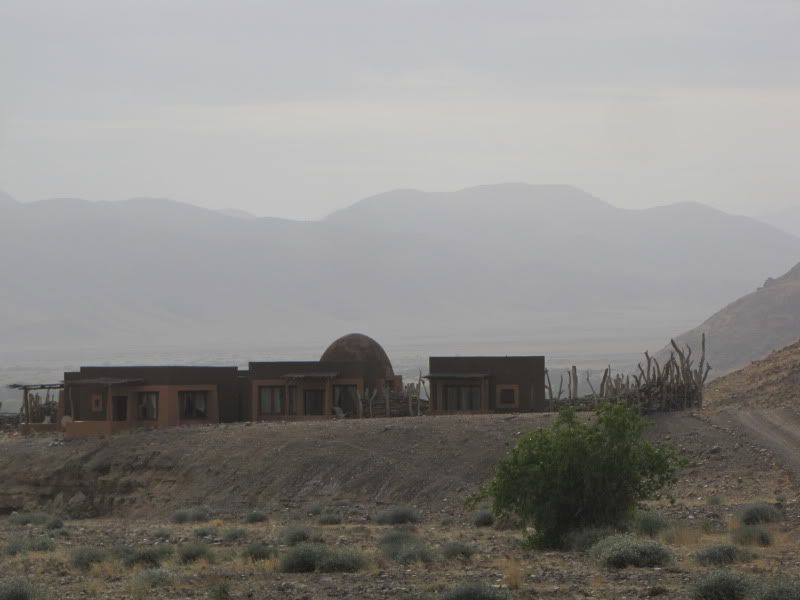
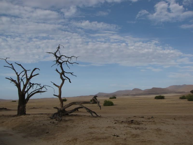
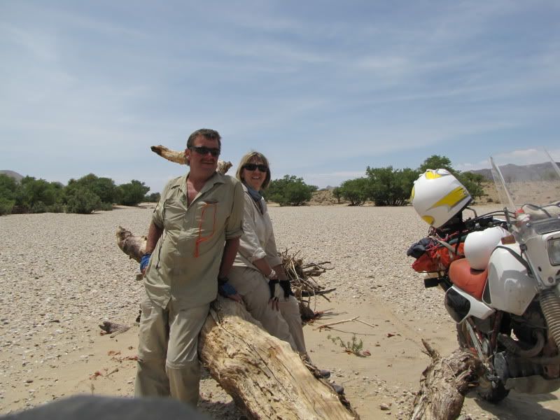
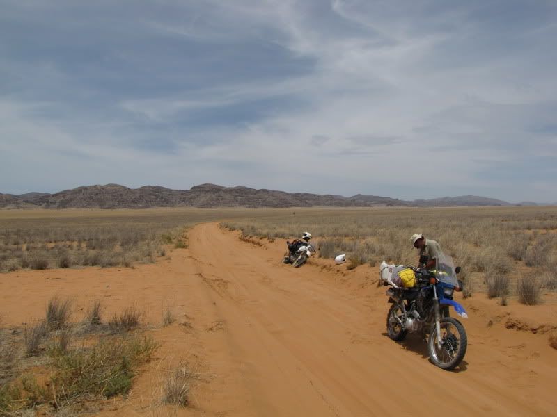
NAMIBIAN MEANDER - 2009

This site may earn a commission from merchant affiliate links, including eBay, Amazon, and others.
DAY 4
Arrive:  UIS -  via SPITZKOPPE
Distance covered:  +/- 365km
Time out:  10hrs

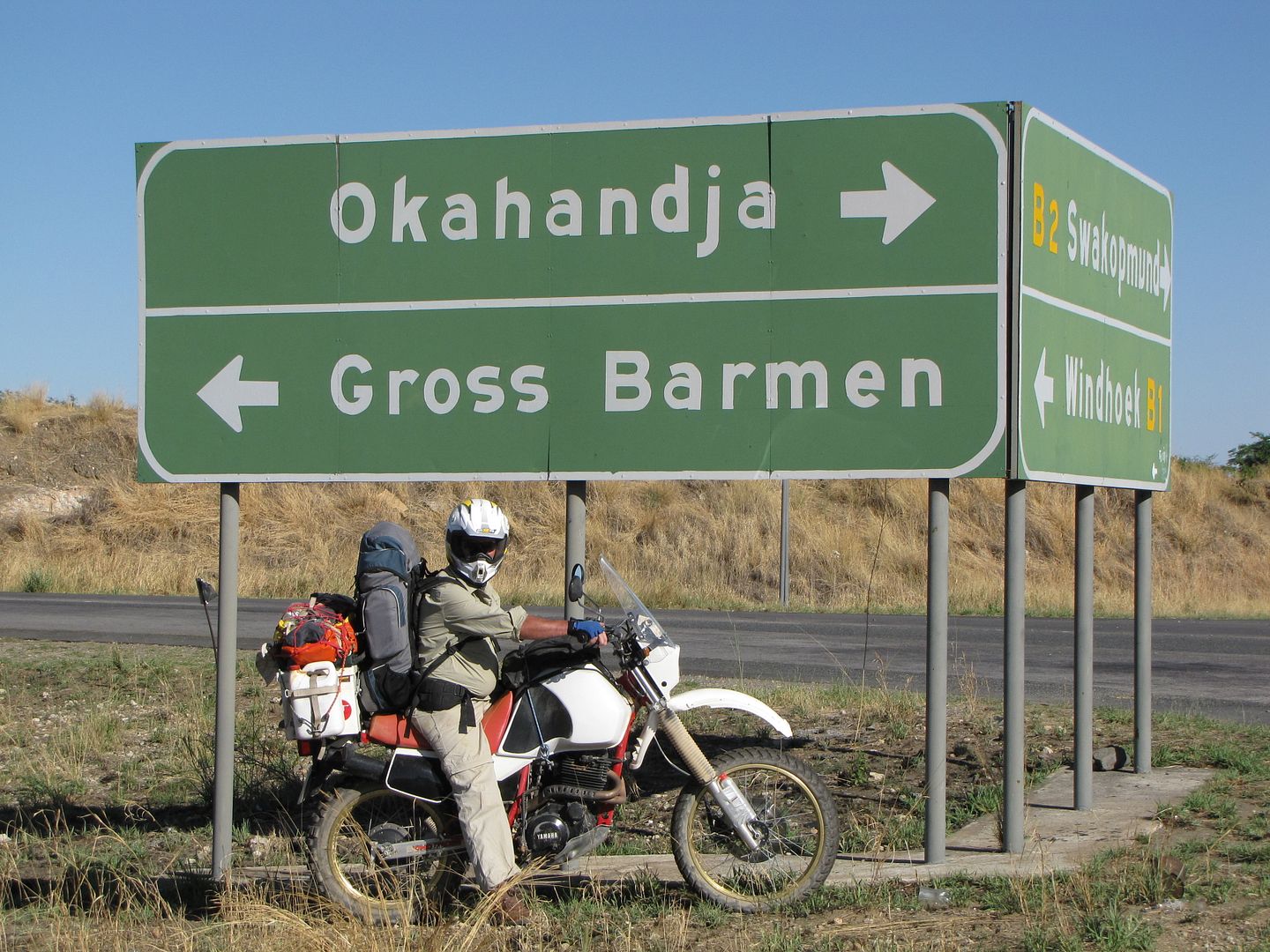
Set off at 7.00am hoping to avoid the Windhoek traffic. Because of the time factor we didn’t take our original route on the C28.  Instead headed north on the B1, bypassing Windhoek and on to OKAHANDJA where Kingsley had to recharge his bikes battery after being stopped at a road block for  riding with no headlights. Here the people weren’t very friendly or helpful and only after a few stops did we get help.

img_2178.jpg


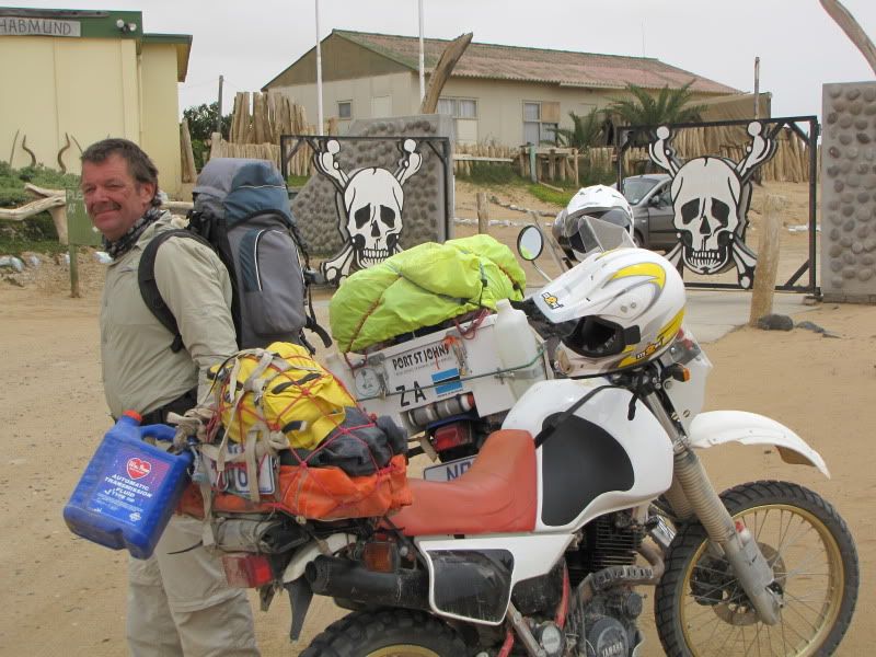
Starting to look like a Gross Barman!


Once charged turned west onto the B2 only to encounter lots of traffic and many kms of roadworks, which slowed us down some more and was rather stressfull vying for roadspace  with the hired 4x4 campers and other travellers.

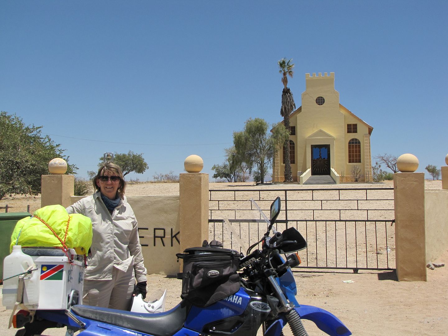
Where quite relieved to ride the last of the tar road  and  turned off 24km after USAKOS onto the D1930. Yhay….. on the dirt! ( didn’t think I would ever hear myself saying that ).

img_2182.jpg


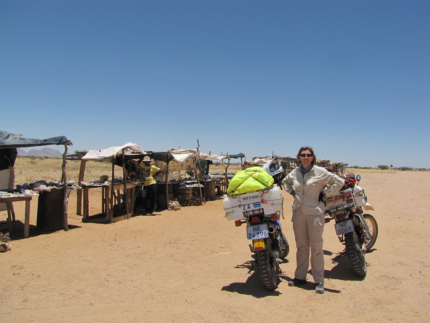
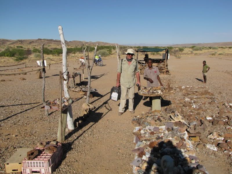
At the  D3716 turn off we visited  the little stalls displaying  a beautiful assortment of semi precious stones. Being a collector of such stones I was in my element and  had great fun bargaining with all the ladies down the line and found space in my tank bag for a few  more pieces.

img_2185-1.jpg


img_2186.jpg


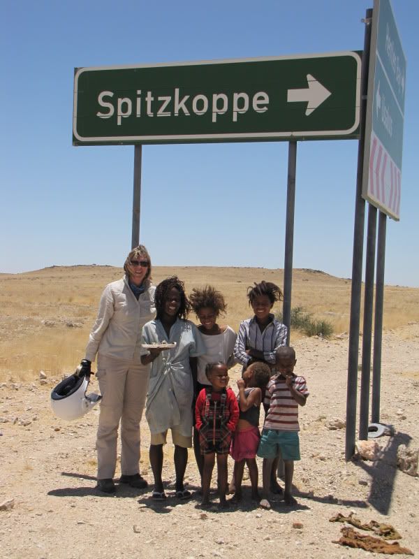
Riding was pleasant and we started to relax and enjoy the surroundings.

img_2193.jpg


img_2190.jpg


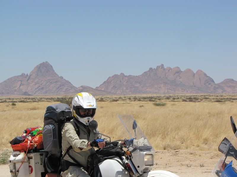
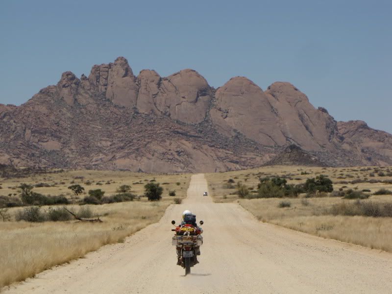
The closer we got the more spectacular the views of SPITZKOPPE

img_2195.jpg


img_2201.jpg


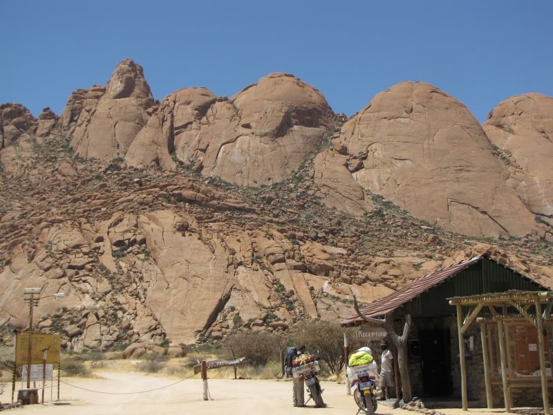
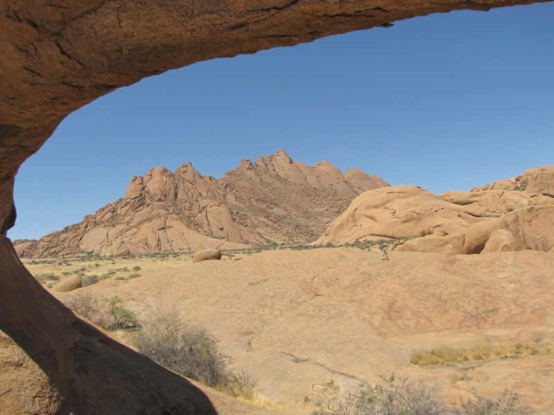
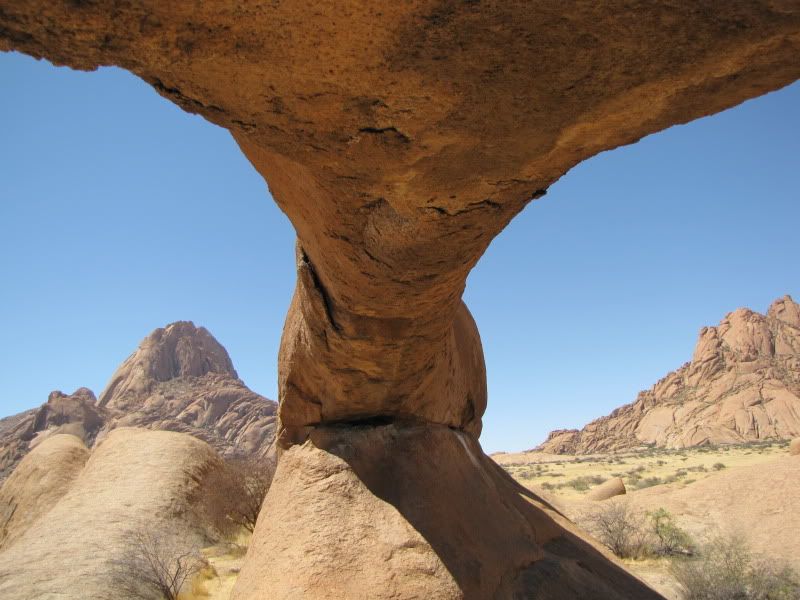
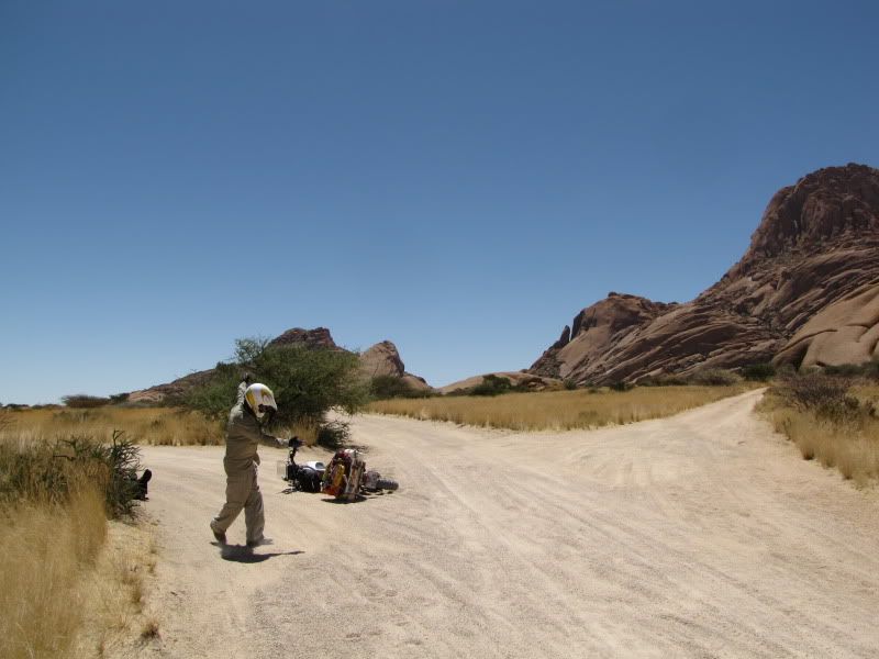
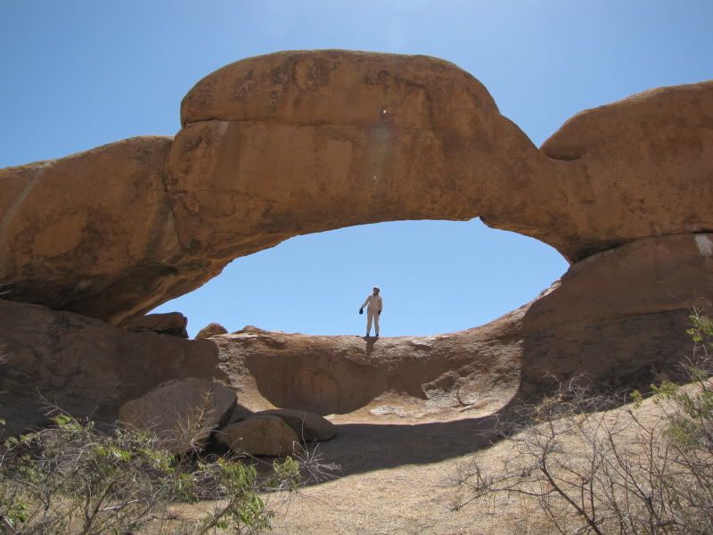
Soon it was looming up in front of us- an amazing outcrop of rock that looked like it had just popped up out of the centre of the earth. Another one of Namibias many incredible geographic formations.  After paying big bucks at the entrance ( N$75 per bike was a lot for us knowing that we couldn’t spend too much time here) we headed for the ROCK ARCH ( not to be confused with the Rock Arch near Tinkas, further south).  It was on this sandy stretch of road that Kingsley dropped his bike ( so chuffed was I that he was the first to go down). It took both of us to lift his Tenere and all its luggage. This was to become quite a regular exercise throughout the trip

img_2202.jpg


Had great fun climbing up the rock and enjoyed the views. Quiet spectacular!

img_2221.jpg


img_2215.jpg


img_2216.jpg


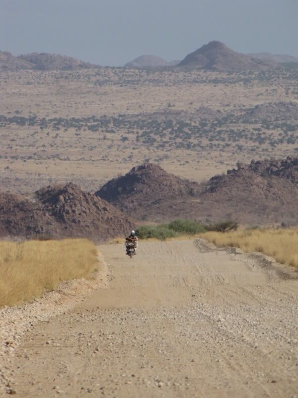
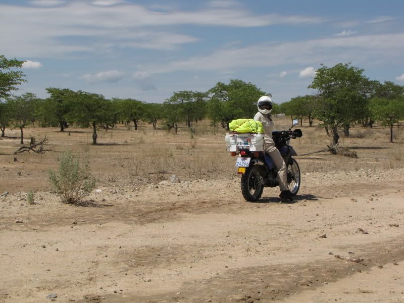
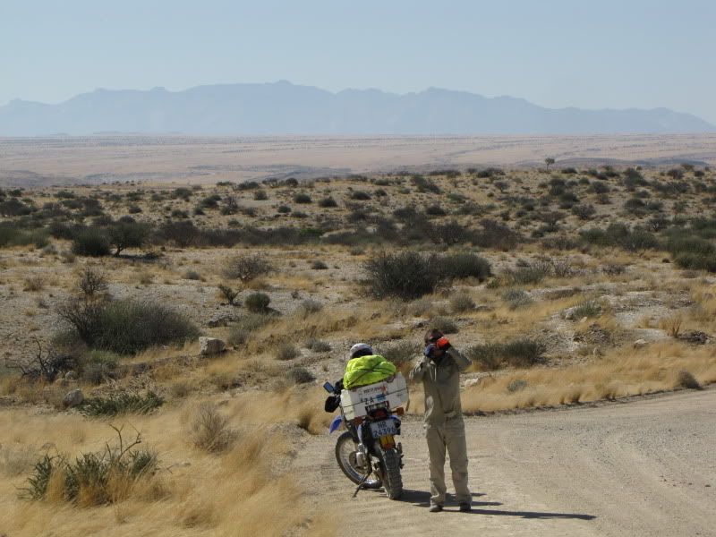
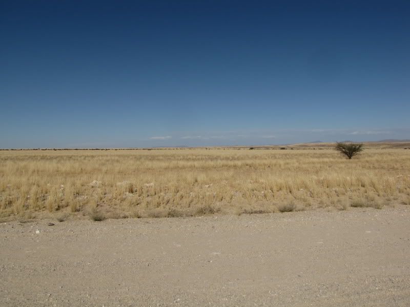
Sadly we had to leave as it was now mid afternoon and we set off on the D1930. We had such fun accelerating out of the many dips and coming up onto the rises and whooping down the other side again. This rolling effect continued for many kms and was so exhilarating  that we found ourselves riding far too fast but it just felt so good. This  was one of the better gravel roads we had traveled on.
img_2229.jpg


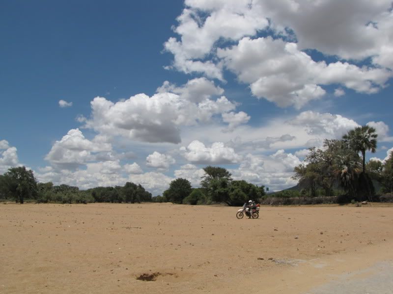
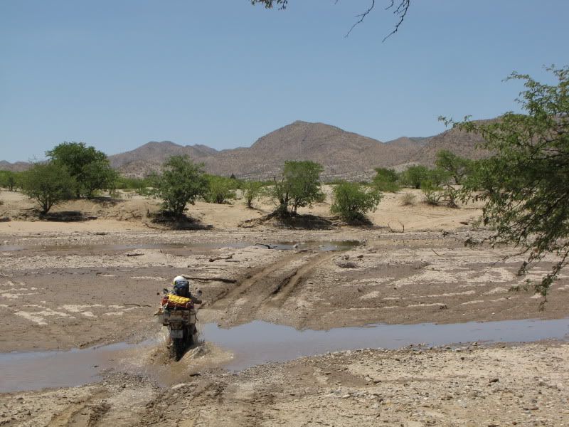
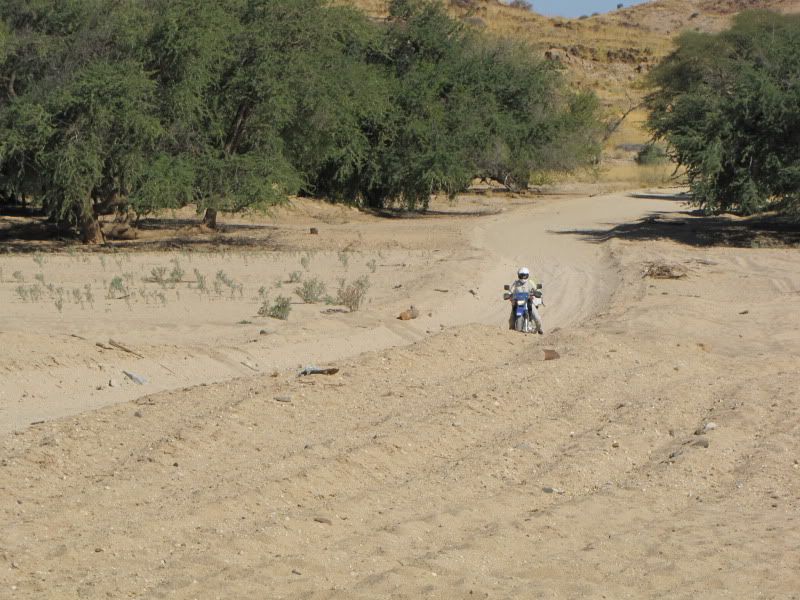
Our riding skills where put to test crossing the dry OMARURU RIVER bed  which was rather sandy but enjoyable-no falls yet! This was the first of many dry river crossings to be encountered
img_2235.jpg


img_2237.jpg


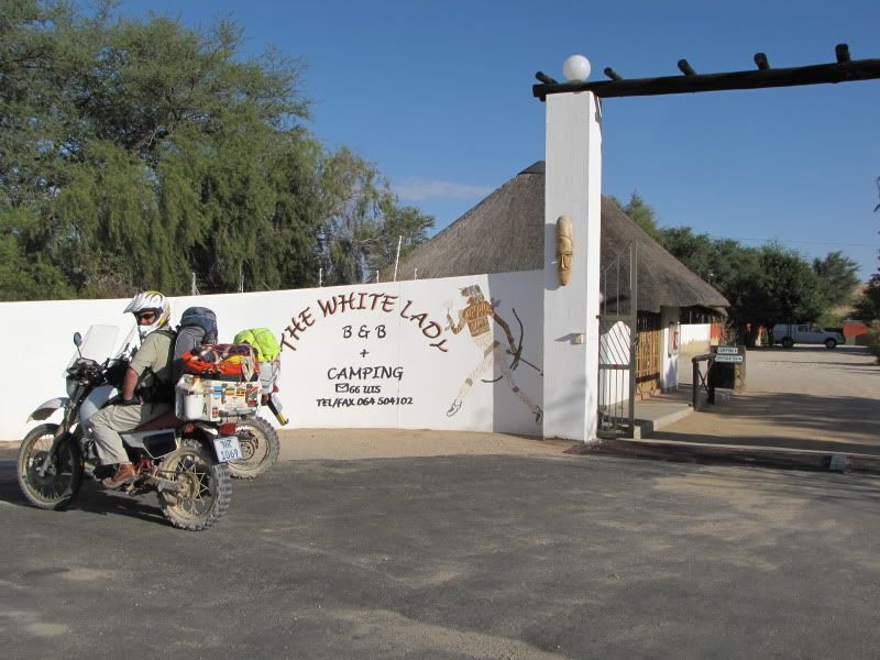
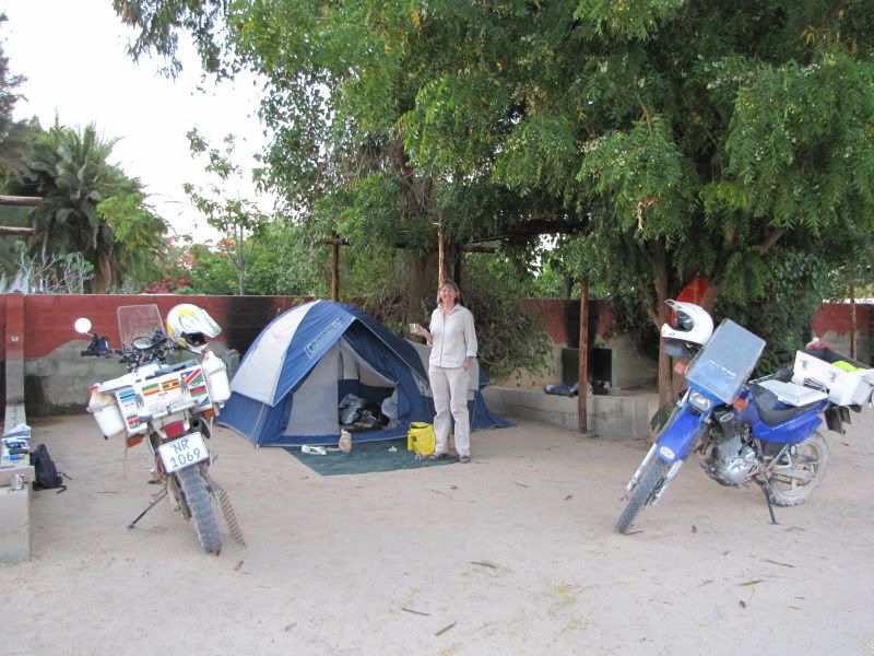
Pulled into WHITE LADY B&B and Camping late that afternoon. It was a comfortable campsite with clean ablutions, a swimming pool and a lovely, chatty Dutch couple whom we were too meet again later. Ended the day with a lovely “sea food platter for 2".( 1tin tuna+ 1 tin mussels) ...yummy!!
img_2244.jpg


img_2242.jpg


The next day was a test of endurance, riding skill and marriage!


DAY 5
Arrive: XARAGU REST CAMP (Twyfelfontein)
Distance:  +/- 134 km
Time out:  8.00am – 2.30pm

Travelled into the heart of DAMARALAND and as I sat next to the pool at Xaragu camp, wet and cool, only then could I say “ Yes, of course it was worth it…!  A short, more technical ride, demanding and tiring.

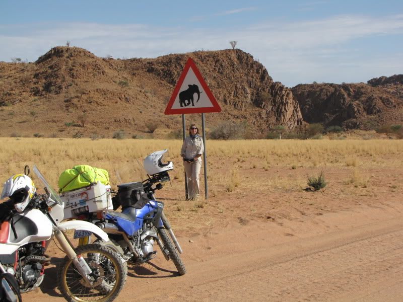
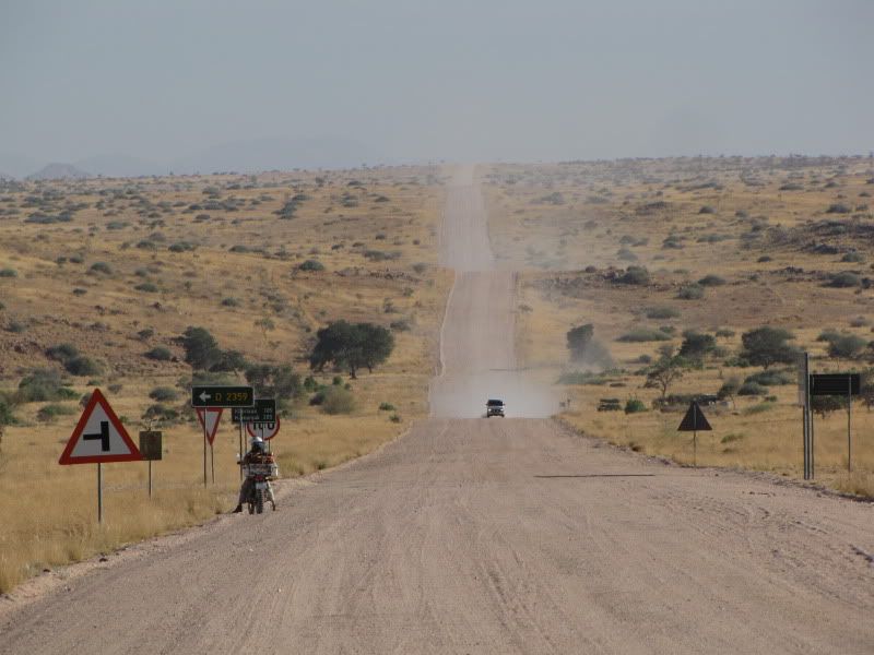
Went in search of the Desert Elephant on the D2319 en route to SORRIS SORRIS. Golden yellow savannah stretched out in the distance towards the Brandberg Mountains  and amazing rocky outcrops appeared in front as we neared the dry UGAB RIVER .

img_2245.jpg


img_2250.jpg


img_2252.jpg


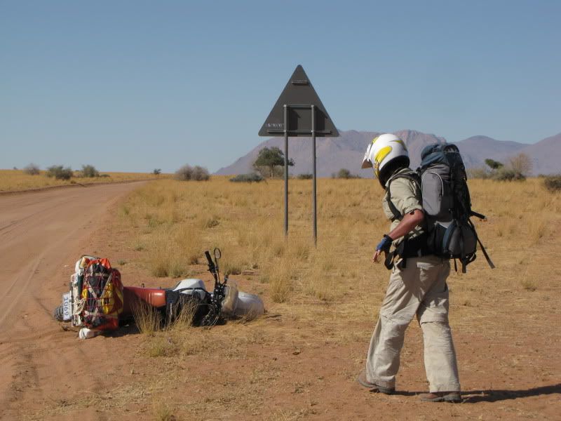
Ooops,  he fell again !!!!!


img_2251.jpg


It was this road that tested my skills and whilst trying to negotiate a very sandy section on my bum rather than my feet, I ran out of tallent and threw it away, trapping and twisting my ankle under a very hot (and hatefull) bike. When the pain finally eased a bit I  put on a brave face, and ellies forgotten, we continued the rest of the trip with my ankle throbbing and swelling rapidly. I was now lacking in confidence and I fell off a couple more times. 

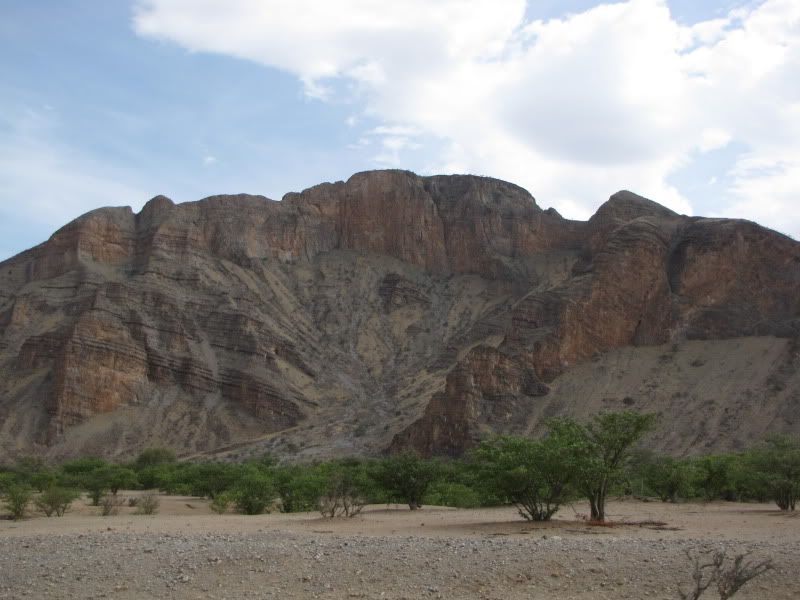
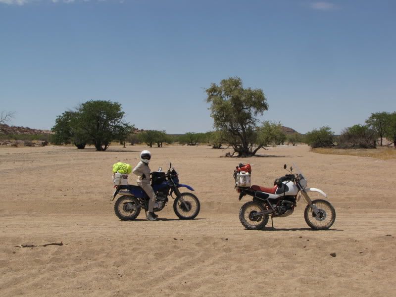
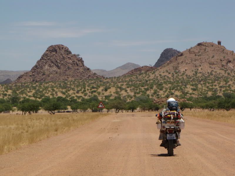
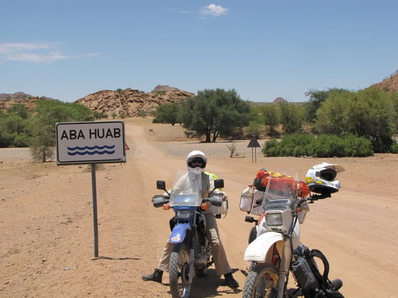
Pleased to reach the C35 again only to turn off left onto the D2612 5km later and head towards TWYFELFONTEIN. We had spent a lot of time on google earth checking out this stretch of road yet nothing can prepare you for such a ride. There is a special beauty about these surroundings as you descend down between the rocky outcrops and notice the abundance of bright green Mopane trees freckling the dry earth
img_2255.jpg


img_2256.jpg


img_2260.jpg


img_2262.jpg


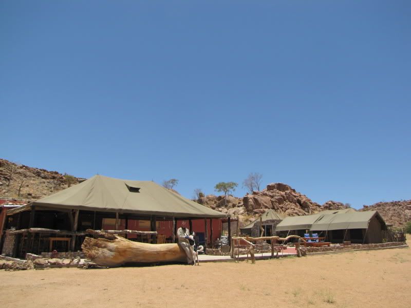
By this stage we were extremely hot and feeling dehydrated so took the opportunity to check out the AABADI MOUNTAIN CAMP whilst gulping down ice cold coke. Chatted to the  Dutch owner who established this lovely camp about 2 yrs ago after falling in love with the place after numerous visits to Namibia. In hindsight,  this would have been a better stop over than where we were heading.

img_2263.jpg


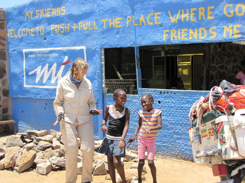
Because of the pain, swelling and intense heat we gave Burnt Mountain and Organ Pipes a miss. This is definitely an area to return to and explore in the future. Crossing over the C39  found us at the “Push and Pull” store. A real African experience, dust, loud upbeat music, locals sitting around drinking and enjoying goat brain... right out the skull!
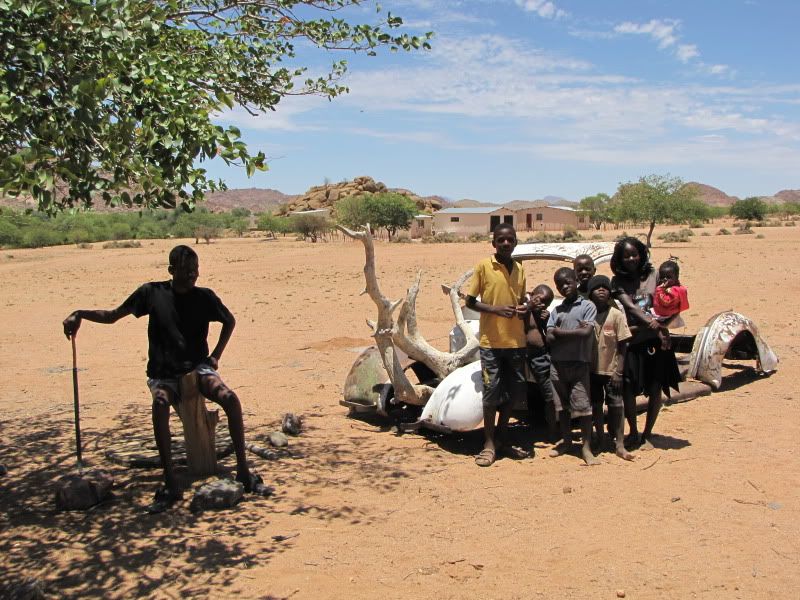
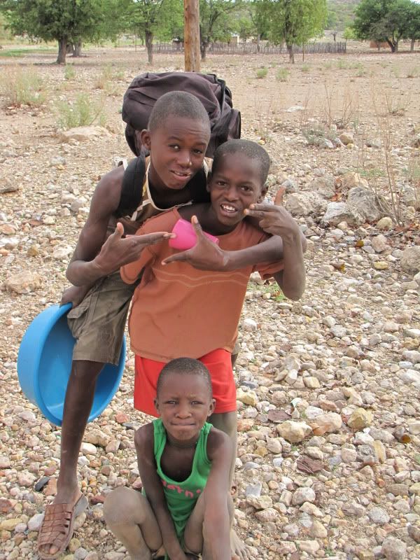
Enjoyed the rhythm of the music with some eager kids. Clearly “a place where good friends meet”. We are aware of how fortunate we are to be a part of this African spirit.
img_2269.jpg


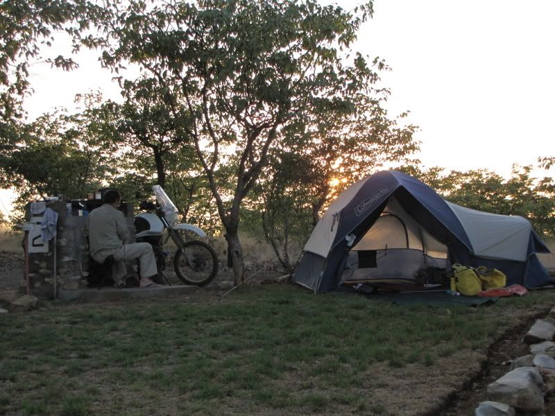
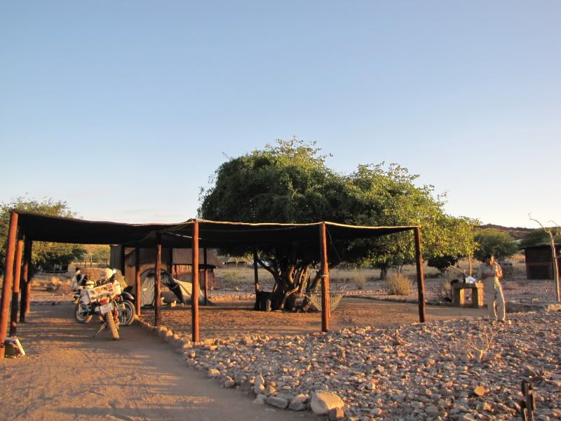
It was here at XARAGU Camp that tourist started making an appearance. An abundance of German and Dutch speaking travelers, taking advantage of the many motorhome and 4x4 rental companies, were doing their trip in style. Often I would look at them enviously with their air conditioned Toyotas, fridges, rooftop tents, sturdy tables and chairs comparing it to our dusty bikes, tiny three legged stools and organized chaos around our aged tent. Felt a bit like gypsies amongst these highs tech travelers - but we were happy. Xaragu is a lovely clean, organized place to stay but just too crowded. Never the less we had a good nights sleep with the help of anti-inflammatories and a little Famous Grouse.

img_2279.jpg


DAY 6
Arrive: HOBATERE LODGE – about 70km north of Kamanjab
Distance:  +/- 288 km
Time out: 7.30am – 4.45 pm

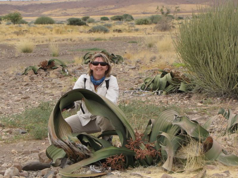
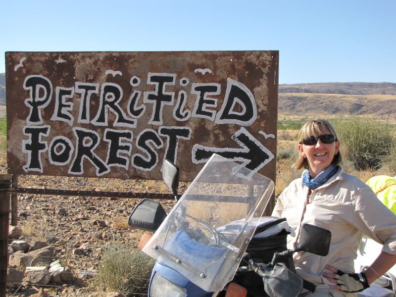
Managed to squeeze my swollen foot back into my boot which offered good support and set off  for KHORIAXS on the C43. We stopped off at the  first Petrified Forest. Met up with Alwin who was about 12 yrs old but he was already a scheming little business man. He charged us N$30 each and N$10 per bike. Not knowing what we were in for decided to risk the high charges and check it out. It took us about 15 minutes to view these rocky trees and small Welwitschias- and ancient plant that produces only two leaves opposite each other but continue to grow for hundreds of years. Further down the road we discovered another Petrified Forest and I think that this is the one the map refers to.
img_2295.jpg


img_2293.jpg


Sir Alwin- defender of the Petrified Forest.


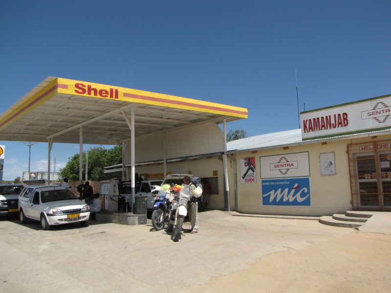
I have to share this with you – although we had promised each other not to mention a word about it to anyone, but I was rather amused by it!! After the Petrified Forest I experienced some trouble with my bike, it was spluttering badly. Stopped and put in 5L of fuel but after a  short while it continued spluttering. Stopped and changed the spark plug – after a while it continued spluttering and jerking again. Stopped and cleaned the air filter. By now we were hot , bothered and baffled. Set off again, the bike cut out,  we rested. We continued this for a few more kms and after a while the penny dropped!!! I was running  out of fuel again. Looking at Kingsley sheepishly I turned on the reserve and set off for the next petrol station. To this day I’m still confused as to how we allowed this to happen. We can only surmise that with the intense heat and evaporation the petrol level dropped unexpectedly. We had a good chuckle.


After refueling we set off for KAMANJAB where we planned to spend the night but decided to continue north on the C35 to HOBATERE LODGE as we still had time. This is on the south-west corner of Etosha.  We made good time on the tar and at the entrance I phoned the lodge and appealed to them for a campsite as the main campsite is 5km further south – but we needed a pool and cold beer! By this stage we were hot, hungry, thirsty, dirty and tired!! Anyway we explained our situation and they kindly agreed to let us pitch our tent and a far off shady corner.
img_2302.jpg


img_2304.jpg


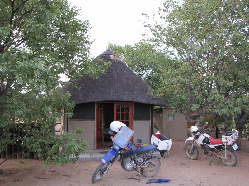
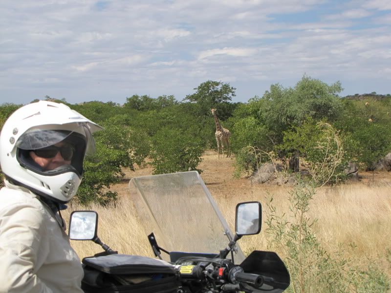
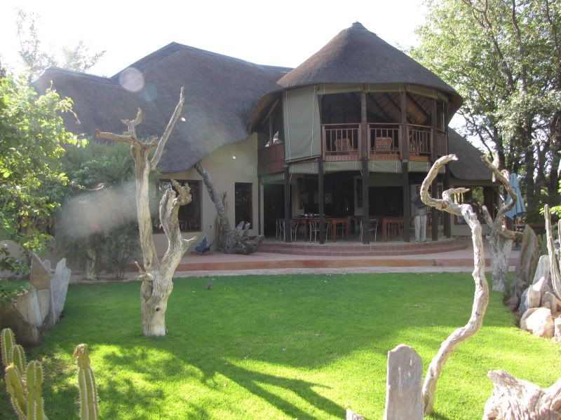
Rode the 16km of driveway  which was through bush and saw more wildlife here than on the rest of the trip. Now this is where you will find a little oasis, friendly people, green mowed lawns, pool, animal lookout and water hole. We didn’t need to pitch a tent after all as they let us use one of the staffs permanent tent with a bathroom en suite (at the price of a campsite)

img_2422.jpg


Hobatere Lodge


img_2335.jpg


Our luxury accomadation.

We unpacked, washed our riding gear and headed for the bar and pool. Enjoyed a tummy filling buffet and stumbled , exhausted,  through the dark back to a soft bed and fresh linen. Can't wait for tomorrow, another day in Africa.


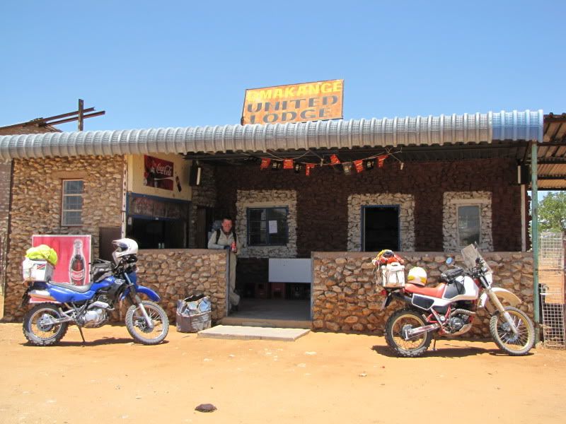
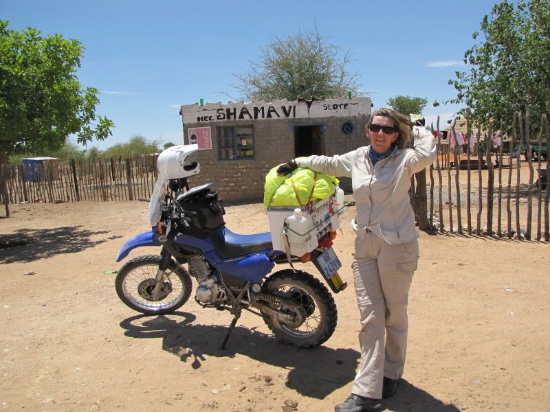
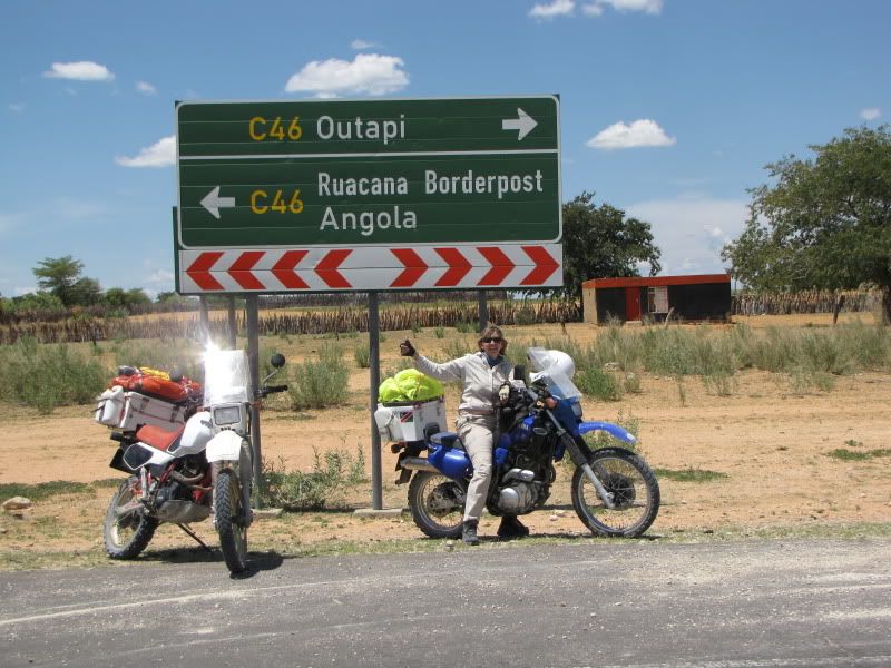
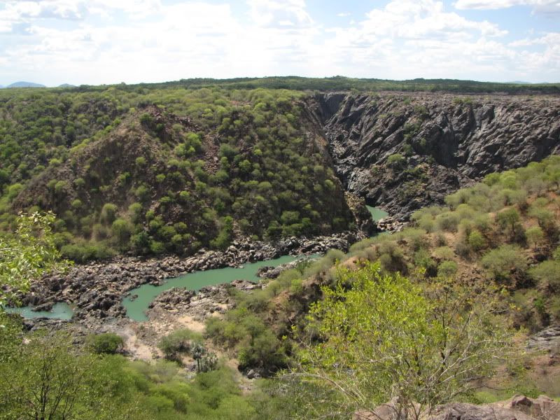
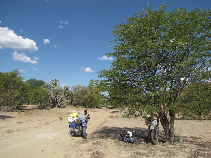
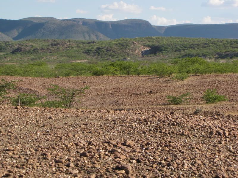
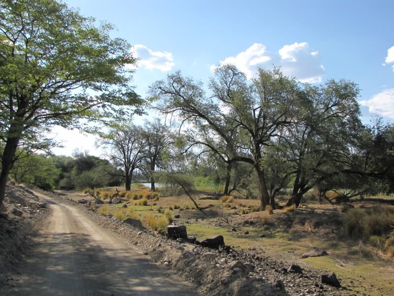
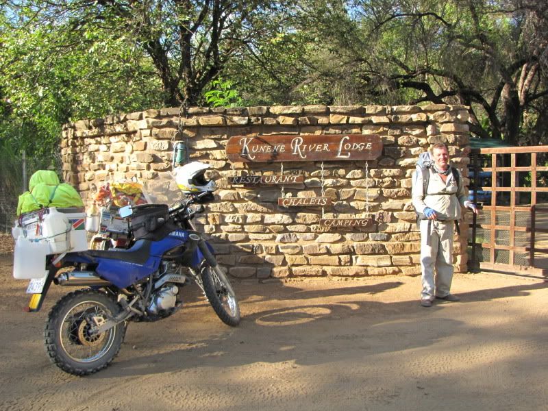
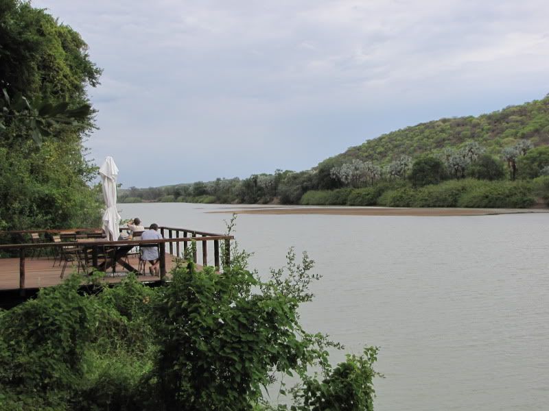
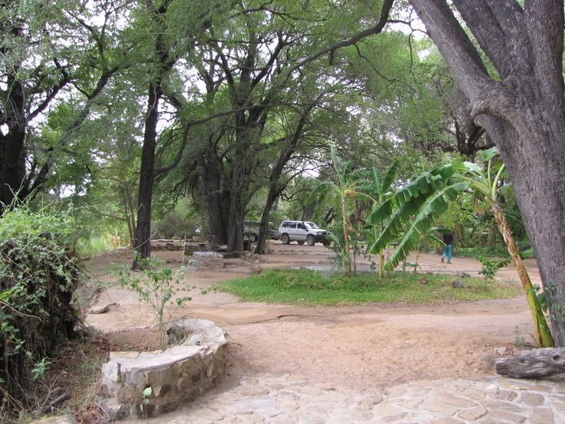
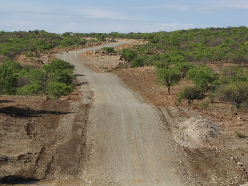
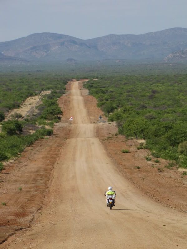
 
Jeepers, when you showed us your route on the map at Sesriem, I was super impressed with the challenge you had set out for yourselves but seeing the photo's shows the full extent of it. :laughing4:

Well done, still super impressed especially that neither of you have done any bike training.

Look forward to the rest of the report.
 
Awesome stuff so far - looking forward to the rest... great pics, one can really get a feel for the roads and scenery! :)
 
DAY 7 and 8
Arrive:  KUNENE RIVER LODGE
Distance:  +/- 320km
Time out:  10.45am – 5.30 pm

Waking up to a lion roaring  in the early hours of the morning gets ones immediate attention and makes for an early start. Listening to the call of the wild just reminded us once again of how lucky we were to be riding around in this part of Africa and gave me immense encouragement for the rest of the trip.


img_2324.jpg


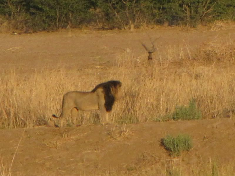
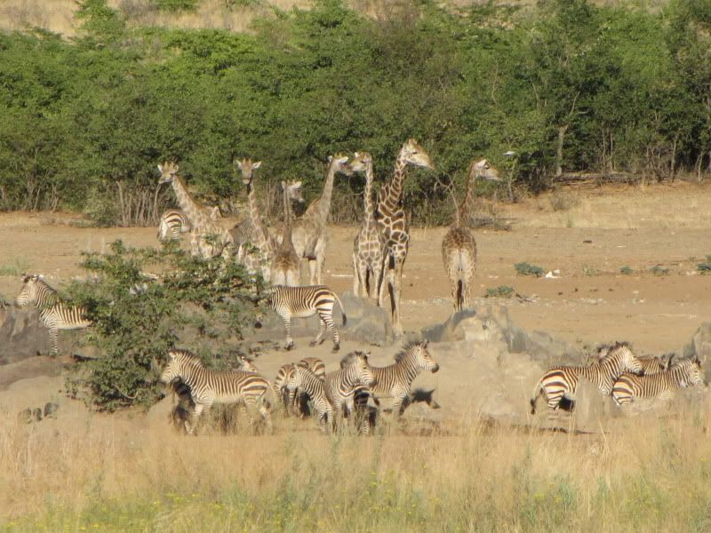
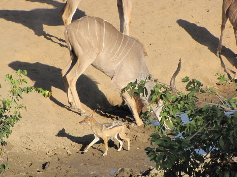
Just before dawn, mug of coffee in hand, we set off for the water-hole, constantly looking over our shoulders for the early morning visitor. It was here that we saw more lions in the distance. Over a period of time, giraffe, zebra, oryx and eland gathered around  nervously but were rather wary of the lions and unfortunately didn’t  come to the water-hole. After a while the kudu, baboons and a black-backed jackal took advantage of the water-hole and came for a drink.


img_2339.jpg


img_2372.jpg


img_2377.jpg


Eventually dragged ourselves away from this lovely place and headed for RUACANA. The tar road was dull and endless. You could travel for up to 30 km on a dead straight road and when there was a bend in it there would be a warning sign. It was hot and getting hotter. The heat from the tar road was actually burning the underside of my arms and seemed more intense than the sun.
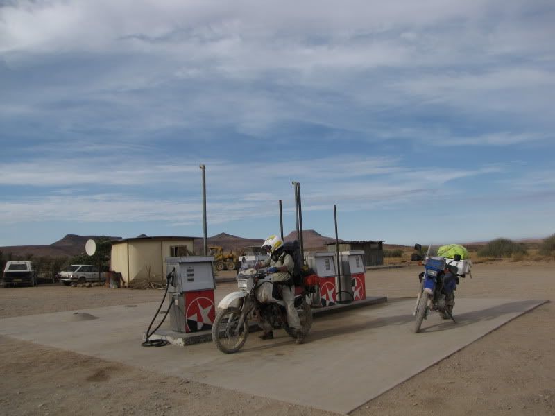
At the C41 and C35 intersection we enquired about fuel and discovered an elderly lady doing her washing under a tree and she kindly sold us 15L at N$55 per 5L.


img_2432.jpg


img_2430.jpg

Ultra City

The rest of the 85 km road was a good, well maintained and uneventful stretch of road. Managed speeds of about 90 -100 km/h in places. What a sense of relief and achievement we felt as we arrived at the C46 intersection and turned left to Ruacana


img_2433.jpg


We stocked up with supplies and bought extra fuel containers as our calculations indicated that we needed enough fuel to get  us to Swaartbooisdrift – Epemba – Epupa and all the way back down to Opuwa which covered about 430 km. Between us we could probably get about 400 km. Never-the-less we bought an extra 10L. This gave us 60 L in total. Kingsley had to strap a 5L can around his waist with the backpack strap. I made sure that the fire extinguisher canister was close at hand!

Seeing Ruacana Falls was disappointing as the water was being held back and diverted in order to create electricity.


img_2436.jpg


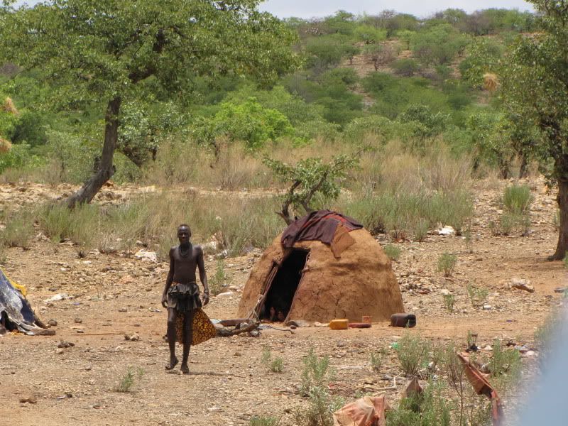
Heading up the steep windy  road past Hippo Pools Kingsley dropped the fuel. He had to stop and in doing so the side stand mount broke off the frame and over went the bike. From here on we always had to prop up the Tenere whenever we stopped. The D3700, along the banks of the KUNENE RIVER, is a pleasant and interesting road and makes for easy  but slow riding. We passed through numerous Himba kraals which are scattered all over the mountains and plains in Kaokoland. The conical huts are made of sticks and branches and covered with a layer of mud.


img_2617.jpg


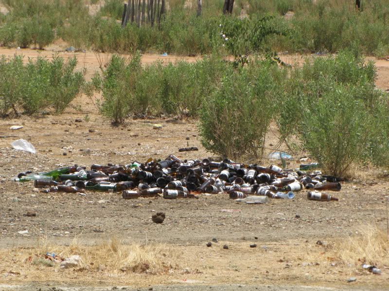
Saw some empty Community Campsites, they looked tidy but a bit rough. What caught our attention were the huge piles of empty beer bottles in the villages, especially opposite the Mavinga campsite. Initially I thought it was tourist garbage, but after chatting to Peter at Kunene River Lodge we discovered that SAB have a policy of bringing in beer for the locals to sell in their kooker shops but SAB never remove the empty bottles and for some reason they don’t have a deposit value in Namibia and therefore get tossed aside.


img_2544.jpg


It took us quite some time to cover this 55km stretch of  4x4 road. It was so hot that you could see the fuel in the fuel filter actually boiling. We made frequent stops to cool down and enjoy the river view.


img_2439.jpg


img_2448.jpg


img_2446.jpg


Kunene River Lodge has the same look and feel about it as Drotsky’s Cabin in Botswana. Tall Leadwood, Jackelberry and Sandpaper Fig trees formed a shady canopy. Patches of organised  gardens and lovely mowed lawn. The owners, Peter and Hilary, were most welcoming and pleasant.

img_2450.jpg


img_2458.jpg


img_2459.jpg


img_2487.jpg


The following day was a rest day and we slacked out around the pool and caught up with our laundry. Every day we needed to wash our riding clothes, buffs and gloves and being hiking gear they dry very quickly in Namibia. Experienced our first downpour of rain. Lovely and refreshing but left us a bit damp for packing up the next day.

For the benefit of bird lovers. This is the area where the Cinderella Waxbills can be found. If interested, Peter would kindly take you to view these chaps. Unfortunately shortage of time and ignorance prevented us from seeing these special little birds.


DAY 9
Arrive: EPUPA FALLS – Omarunga Campsite
Distance: +/- 165 km
Time out: 8.00 am – 2.30 pm

What a divine day we had!
This experience and adventure  just keeps getting better and better.

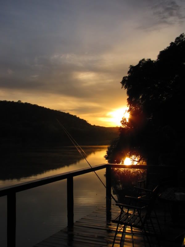
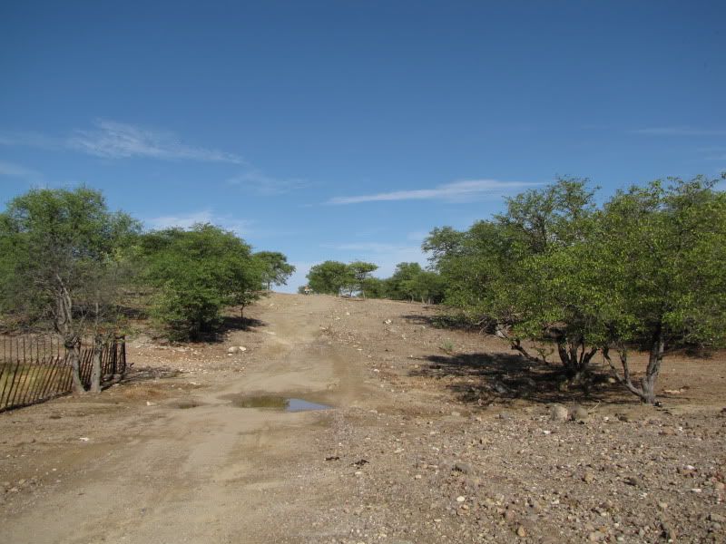
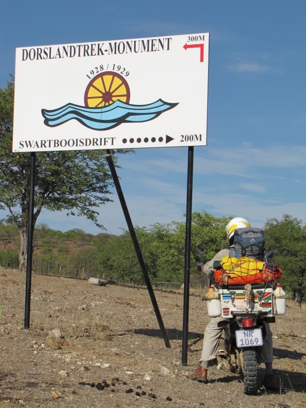
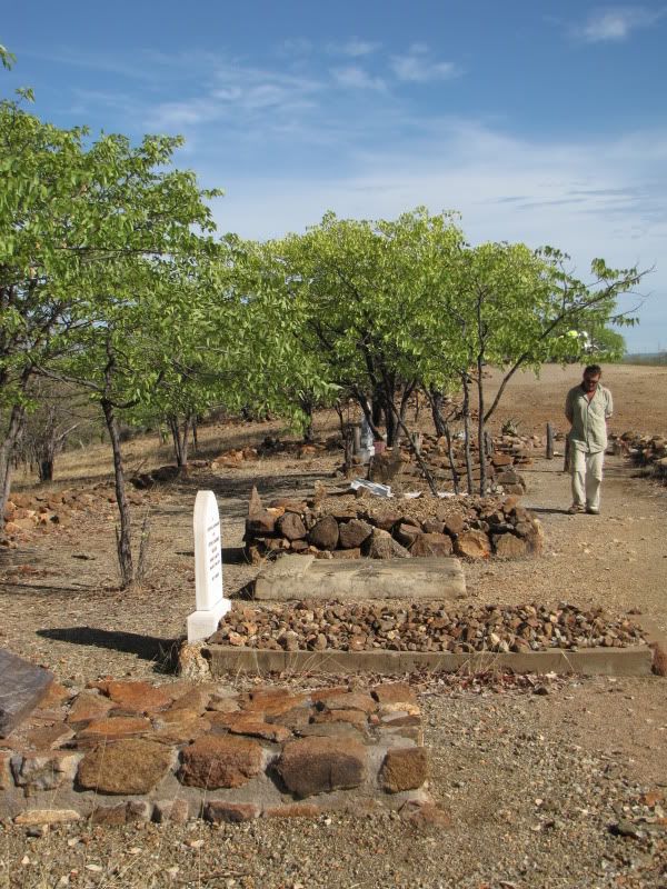
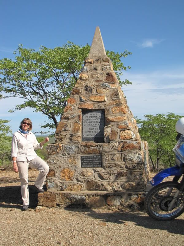
Packed up camp, paid and had a last cup of coffee on the deck. I was rather sad to say goodbye to such a wonderful, friendly place, however, was looking forward to the rest of the day. Headed for the DORSLAND TREKKERS’ MONUMENT and GRAVES. This area commemorates the return of a group of people returning from Angola in 1928 after a fall out with the Portugese government. These  folks must have been so amazingly brave to trek around the way they did. We have GPS’s, google earth, maps and internet to guide us and we think we are so clever doing these adventure rides. They had no such technology and yet they achieved so much!


img_2492.jpg


img_2493.jpg


img_2497.jpg


img_2500.jpg


We decided not to visit Swartbooisdrift ,3 km down the road and regret it now.
A bit of advice: you must do and see as much as you can, take as many photos as possible because when you get home you will have so many regrets and wish you had gone the extra mile to see something you might never see again.

Despite all the rain the roads were very good with a hard surface and made for enjoyable riding.


img_2503.jpg


img_2507.jpg


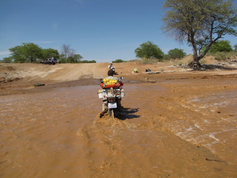
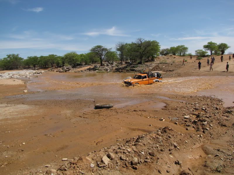
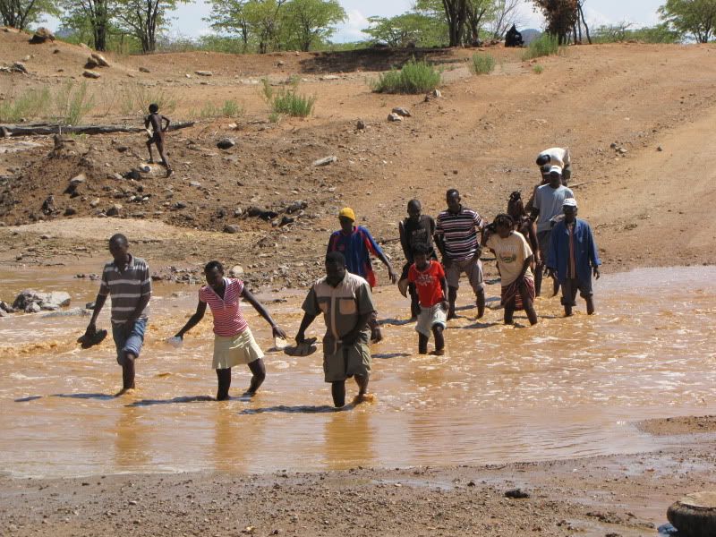
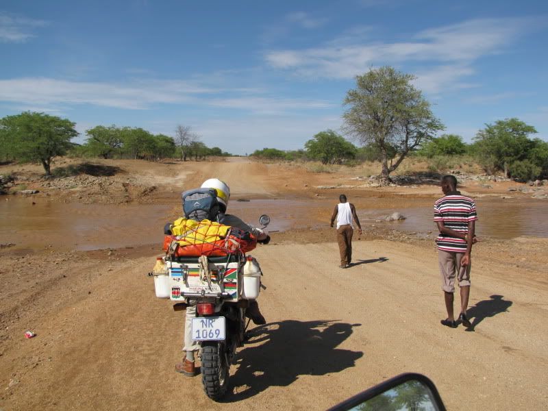
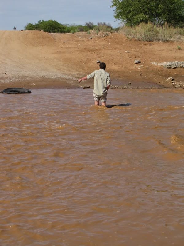
We soon reached our first river crossing. This was the ONDOTO RIVER and it was flowing rapidly. The water was knee deep in places and there were already a few locals waiting for it to subside  so they could take their cars across.


img_2513.jpg


img_2516.jpg


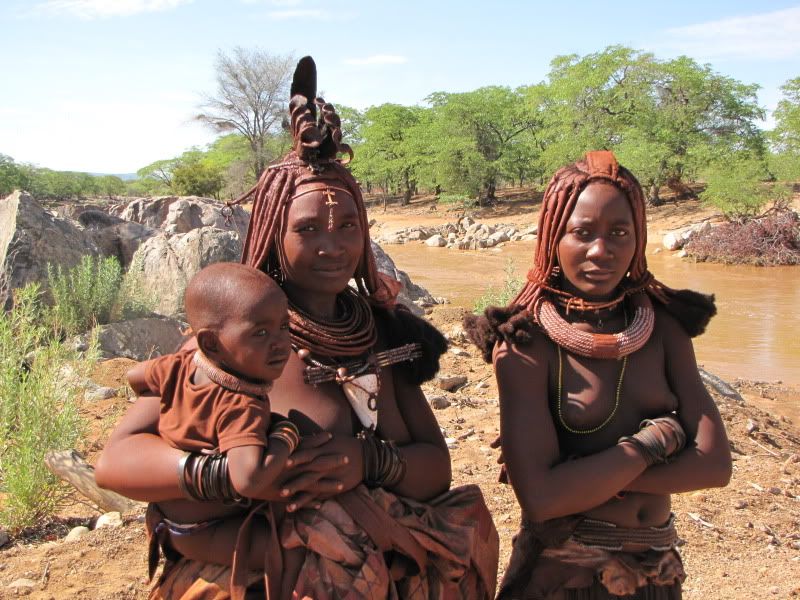
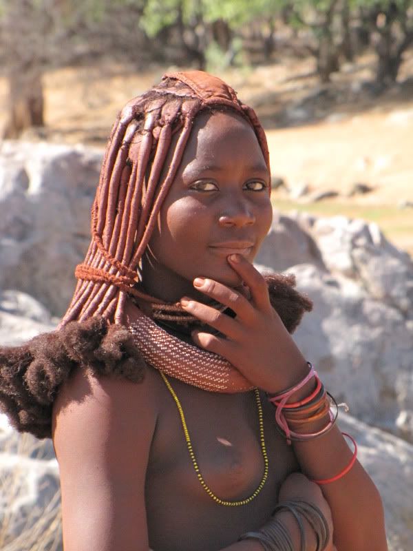
It was here that we met up with a some lovely traditional Himba ladies.They were covered in a red clay mixed with animal fat and initially the smell was quite overwhelming but not too unpleasant. One of the local men helped to interpret.I was admiring one of their many necklaces and the one lady  offered it to me for N$100, which I promptly bought  as this is a special piece of traditional jewelry and I shall treasure it forever.


img_2520.jpg


img_2521.jpg


It was fun hanging around with them and getting to know the other locals who were also unwilling to cross with their small cars. Eventually we braved the river and crossed without any mishaps.


img_2531.jpg


img_2535.jpg

Who needs a Pajero?


img_2536.jpg


From here the scenery got better and better but also changed a few times. On the right where the Zebra Mountains. Quite fascinating with all the stripes


img_2538.jpg


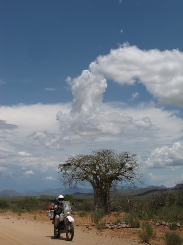
After turning off to Okanguati and Epupa the roads became windier and more swooping- lots of dips and rises. Once again made riding fun. More mountains rose up and that stark, severe look disappeared. Even the thorn bushes  were a bright cheerful green and the Baobabs started to appear.


img_2547.jpg

Crossing dry river bed at Okanguati


img_2553.jpg


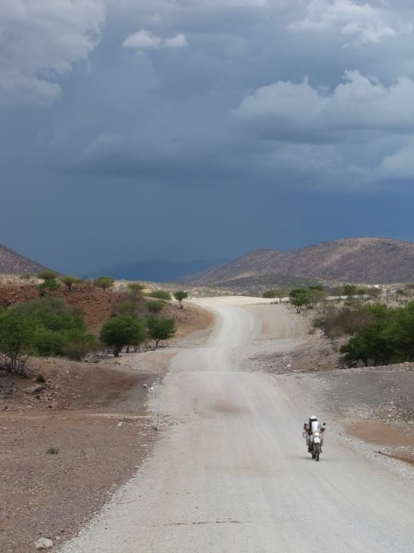
A few kilometers from EPUPA we could see the build up of a storm over Angola – looked rather ominous.
The photo shows Kingsley coming back to look for me.


img_2557.jpg


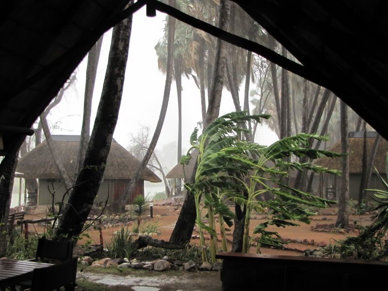
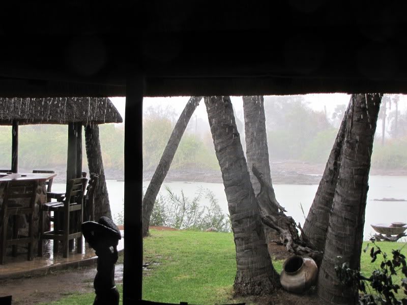
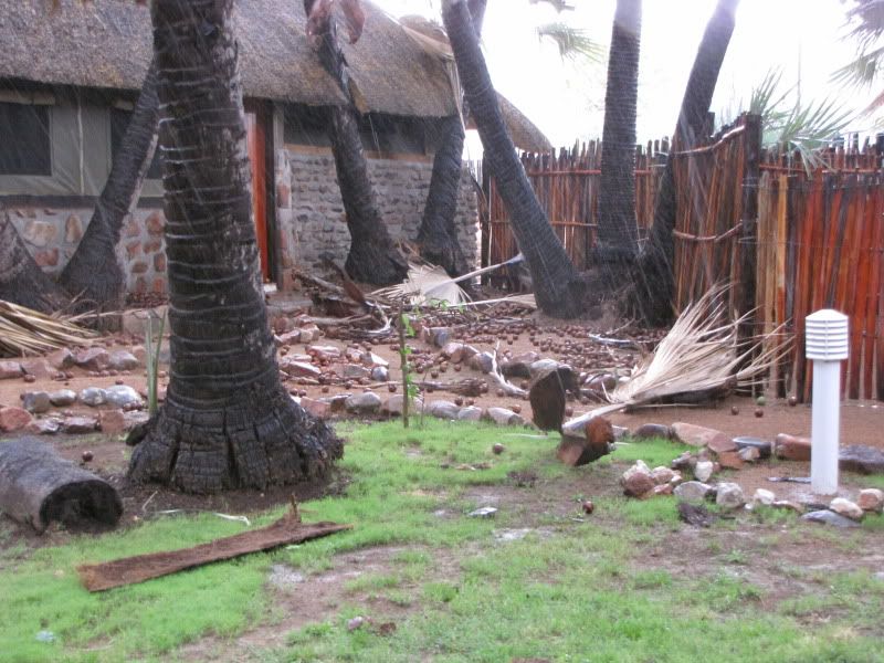
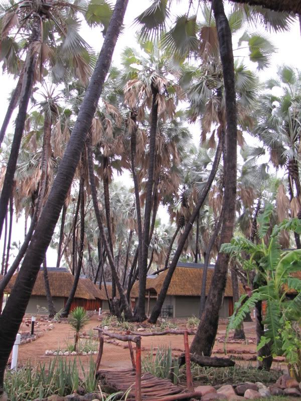
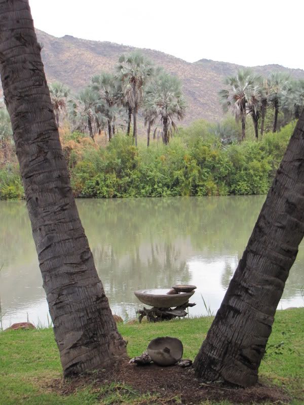
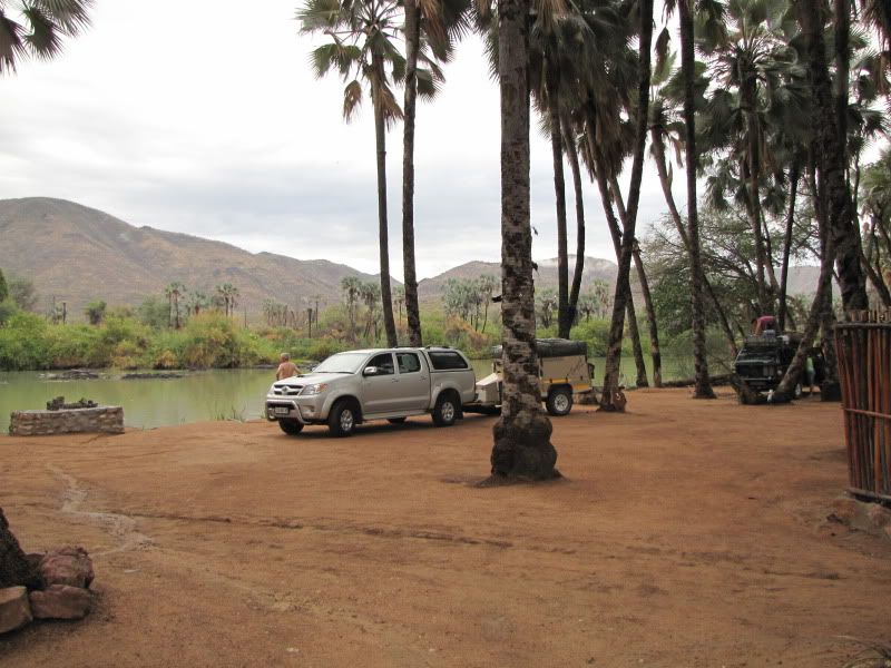
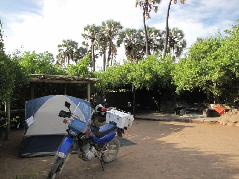
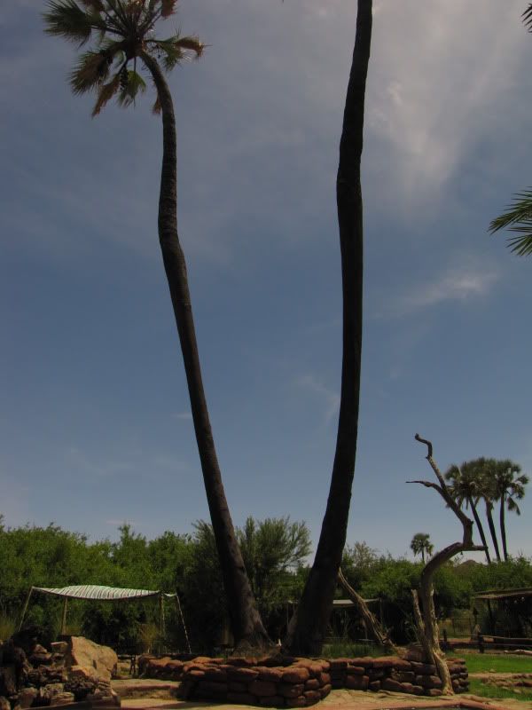
As we came down a steep hill there in front of us was the mighty Kunene River once again. We arrived at the camp site just as the heavens opened and we experienced this amazing  thunderstorm. The powerful wind came from the Angolan side and shook the Makalani Palm trees with such force causing them to drop the huge balls of fruit and old dry palm leaves came crashing down loudly. This was their first rain in 6 months and it left them with a terrible mess which was cleaned up promptly within an hour after the storm had stopped. This is a lovely clean and well maintained camp and we were welcomed by some very friendly people.


img_2560.jpg


img_2561.jpg


img_2563.jpg


img_2578.jpg

After the storm and all is tidy


img_2599.jpg


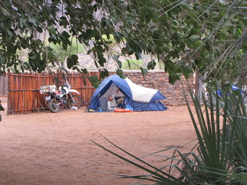
We were lucky to get a campsite but unfortunately it was not on the river bank but set further back. We pitched a very wet and dirty tent and tested out the showers which are all open air – even the loos. You had to duck when one of the overlanders came past.


img_2579.jpg


img_2580.jpg


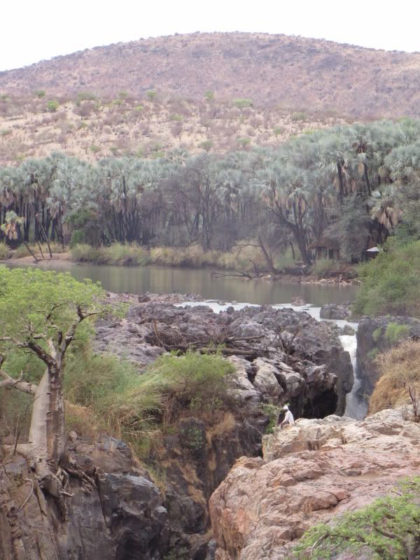
Decided to check out the falls but there was very little water to make any sort of impression. It was still nice to finally have a first-hand experience of what all the travel magazines have been raving about - although not as impressive. There was a lot of river debris lying around giving it a shabby appearance.


img_2573.jpg


Ended the day feeling satisfied and relaxed after a couple of well deserved G&T’s.


Wildside -  well done. This is THE most unpretentious RR that I have came across on the interweb.

Awesome!
 
Thanks for sharing!! Very nice to see places that I've been to many years ago under very different circumstances - and still grippingly attractive! I have to visit again!! Great RR :thumleft: :thumleft:
 
DAY 10
Arrive: OPUWA COUNTRY LODGE
Distance:  +/- 185 km

It rained during the night and we awoke to a bleak looking day. Everything was damp. Our riding gear was damp and smelly as we hadn’t done any washing the day before.  Decided to pack up and leave. Collected our fresh rolls which we ordered and these were made by one of the local ladies. Had some for breakfast and munched the rest en route to OPUWA. This was our first day of riding under a cloudy sky – cool and pleasant. Travelling in and out of the valleys made for beautiful riding.

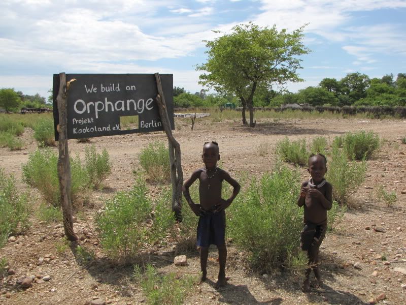
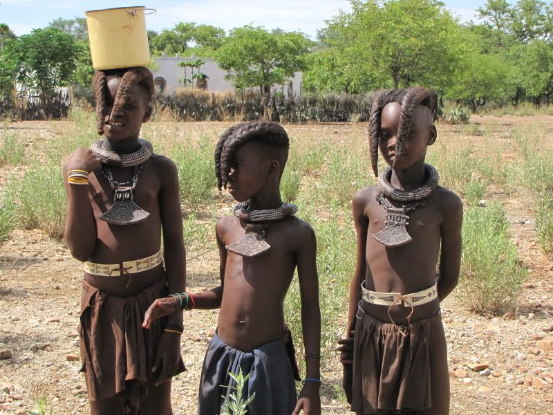
Just before Okanguati I spotted an orphanage sign and stopped to investigate and a few curious himba kids came to have their photos taken. Was saddened to think that even here there were some abandoned kiddies. I wish now that I had taken the time to visit the orphanage.


img_2604.jpg


img_2603.jpg


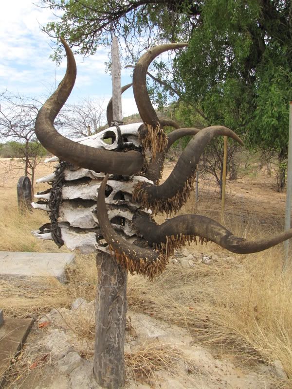
Stopped to see the grave yard near the dry Omuhonga River. These appeared a bit neglected, and further along the road where more recent and smarter ones. Horns pointing upwards depict a male grave site and horns pointing down are those of a female.


img_2612.jpg


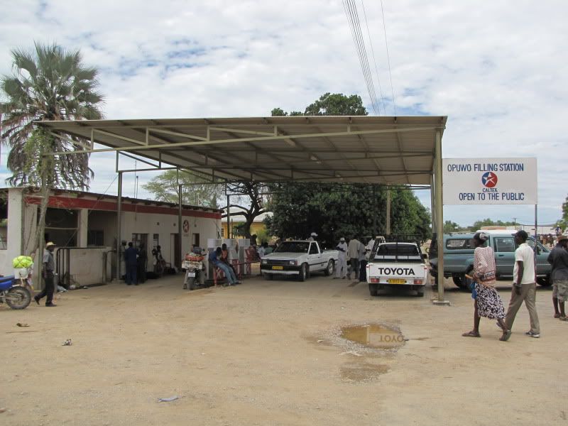
Opuwa is a bustling little town that provides for the himba, herero, tourists and a few other cultures. It is here that the 1st world tourism and 3 rd world cultures meet. I was surprised to see some himba squatters with their make shift shelters. They looked like such proud people further north. Young girls, aged about 13 yrs perhaps, came up to us giving us permission to photograph them in exchange for money and also begged for food.  This was a rude introduction back to the real world. We promptly refueled and went in search of some accommodation at the Country Lodge, 1,5 km out of town.


img_2618-1.jpg


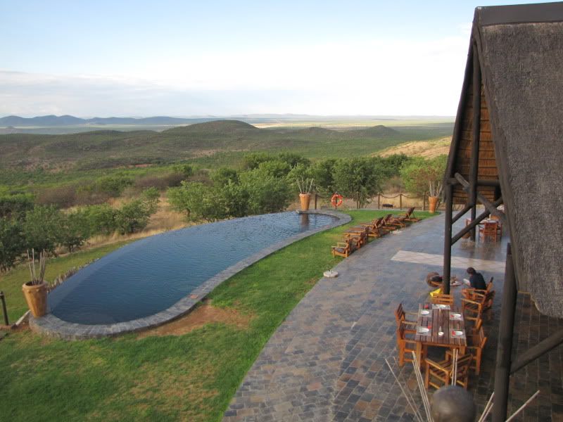
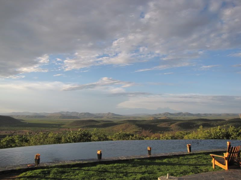
This is a very luxurious lodge with magnificent views overlooking a valley of mopane trees. A pool flowed over its edge giving it a watery horizon.


img_2630.jpg


img_2639.jpg


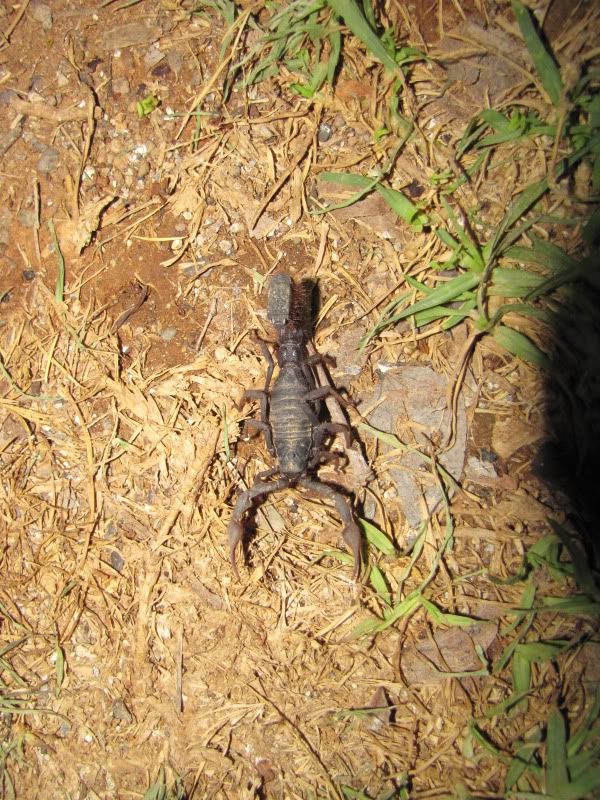
Went to a terraced campsite further away which also had stunning views. Washed our smelly clothes and shot off back to the lodge for a delicious dinner. It was here that I made the decision NOT to travel on the D3707 to Omarunga. I was anxious about riding this route and I didn’t want to spoil my trip doing something I wasn’t confident about. Instead we would head straight for Sesfontein. Kingsley never made me feel guilty about plan changes and said it was up to me to decide what I could cope with.  After dinner we met up with some adventurous Germans who told us tales of their trip up the Hoarib and Hoarusib River beds and about all the wildlife they had seen. Now we were getting excited once again.  Still unsure of our plans we called it a day and slept soundly after making sure that the scorpions we saw at our tent entrance had being rerouted. Who knows what tomorrow will bring.


img_2648.jpg


img_2646.jpg


DAY 11
Arrive: PURROS
Distance: +/- 270 km
Time out: 8.00 am – 8.00 pm

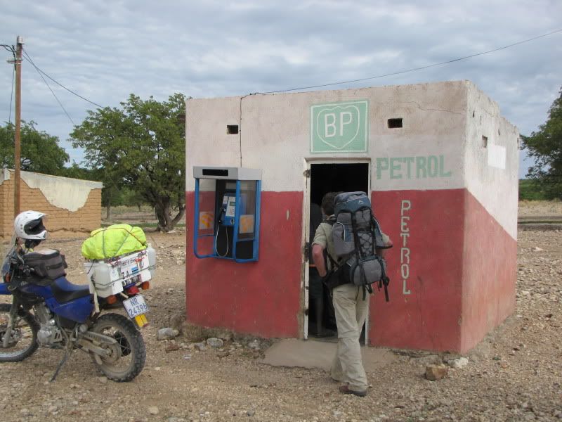
Set off on the C43 heading for Sesfontein. At the turnoff to Kaoka Otavi I stopped and made a last minute, crazy decision to actually travel on the D3707 to ORUPEMBA. We were not prepared for it fuel wise but we had plenty of water and some food to last a few days. We were lucky enough to find fuel in Kaoka Otavi at the ‘BP garage’ and befriended a few locals. The fuel was ‘unleaded’ but we took a chance and mixed a bit of oil with it.


img_2650-1.jpg


img_2654.jpg


img_2652.jpg

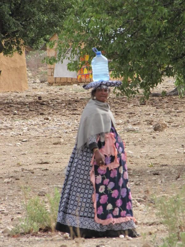
A Herero lady in her Victorian-style clothing.


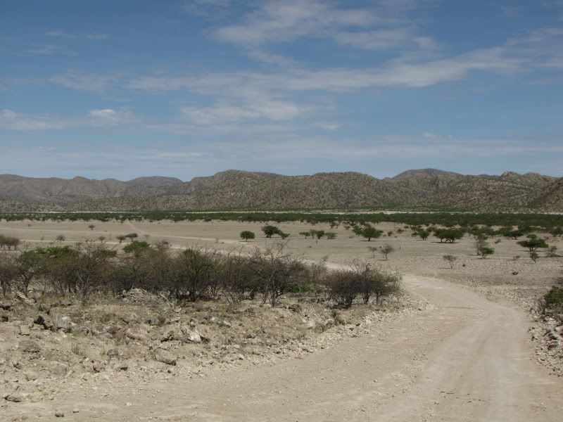
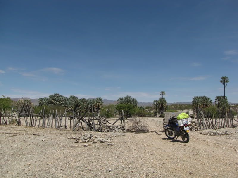
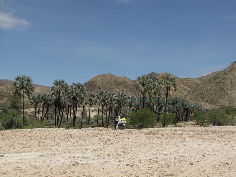
The road was a bit rocky and the going slow. After a while Kingsleys topbox became loose as a nut and bolt had fallen off. He removed his back footpeg and used the nut and bolt from that to secure it again.  Still in high spirits we set off.  This stretch of road was a mere 145 km to Orupemba. However, travelling was slow, tiresome and extremely hot. The scenery was different and beautiful. Rode through a lot of white sandy areas and Makalani Palms could be seen decorating the edges of the dry river beds.


img_2655.jpg


img_2659.jpg


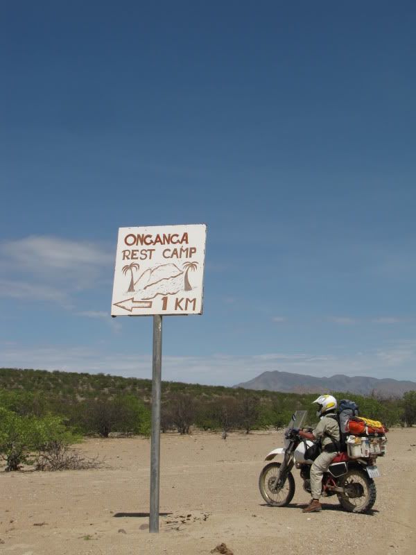
Out of curiosity we decided to check out the Onganga Camping area that we had decided was a possible stop over during our planning stage. But on further inspection we discovered that it was closed. The camp was about 5km away and not 1km as the sign indicates.


img_2660.jpg


img_2661.jpg


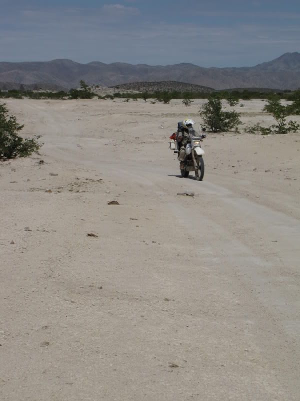
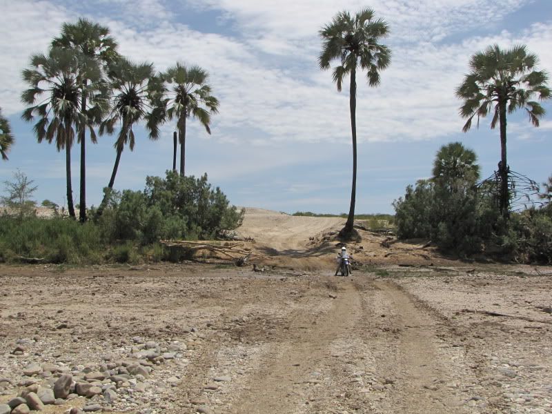
We crossed the dry HOARUSIB RIVER bed several times and each time we searched  the area for the elusive desert elephants. We saw none!!


img_2662.jpg


img_2666.jpg


img_2667.jpg


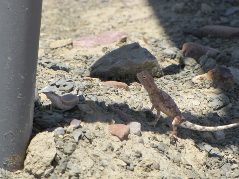
We stopped for a bite to eat and propped the tenere up against a sign post and the little skink and desert agama who were sharing the shade under the sign post, refused to surrender their shady spot, bravely standing their ground. This gives one an idea how hot it was.


img_2670.jpg


We saw very few people as villages were far and few between. Along this whole route we saw only one group of tourists and I must admit, it was a relief to have them stop and chat. They were returning from Van Zyl’s Pass, and had seen plenty of game on route, including elephant.
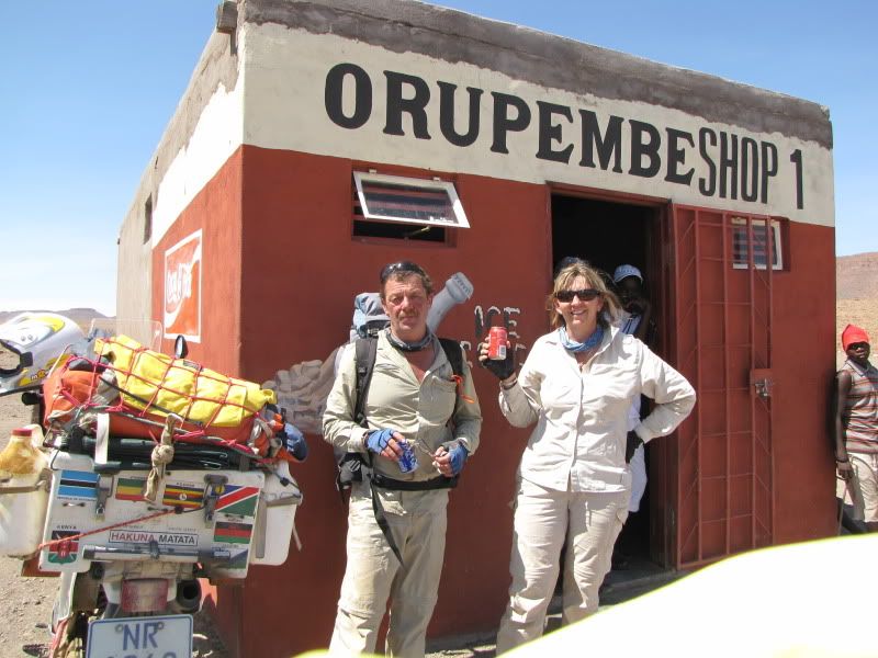
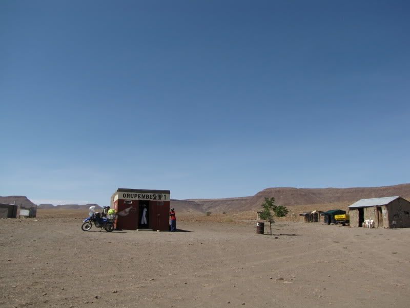
Arrived at ORUPEMBA at 3.15 pm, relieved to get that far without any incidents. The place consists of a police station up on the rise and two small buildings, one of which sold some ice cold coke and other necessities. Found the locals to be a bit indifferent but once you started chatting to them they were rather pleasant .


img_2672.jpg


img_2673.jpg


Well, only another 105 km to Purros and the road from here was a lot better – SO WE WERE TOLD!!! Oh my gosh, were we in for a nasty surprise!!!! We had estimated that it would take us about 2.5 hrs to get there. After about 10 kms on severe corrugated road the topbox carrier on Kingsleys bike finally broke off taking the number plate and rear mudguard with it. We secured the box the best we could. This was something that we would have to keep redoing in the course of the afternoon. This and the deteriorating road conditions slowed us way down to a point that we were becoming nervous about not reaching Purros in daylight.
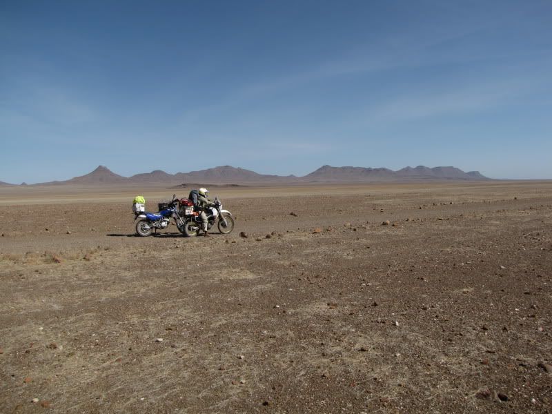
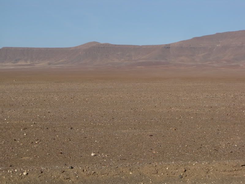
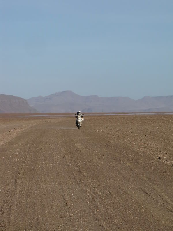
As we continued so the road got worse. The corrugations and marble-like gravel was a bad combination and slowed us down even more. Frustration and irritation was setting in. The countryside became more barren, bleak and flat, flat, flat. No vegetation, no kraals, no cattle or goats, no people and no tourists – just the two of us and a few sightings of game. We really felt small and alone as if we were riding through some forgotten corner of Namibia.


img_2674.jpg


img_2678.jpg


img_2681.jpg


img_2682.jpg

Absolutely Nothing


img_2683.jpg


img_2684.jpg


The countryside started to resemble another planet. The only thing that reminded us that we were actually on planet earth was an occasional road sign indicating a curve in the road up ahead. Surrounding us was the weirdest, Martian-like landscape we had ever seen and the roads were the worst we had travelled on.  Soon the sun started setting and I began to feel a bit anxious as this road never seemed to come to an end. After 11 hrs of handling a bike on various aweful road surfaces and battling with the heat, ones sense of humour is a bit lacking.

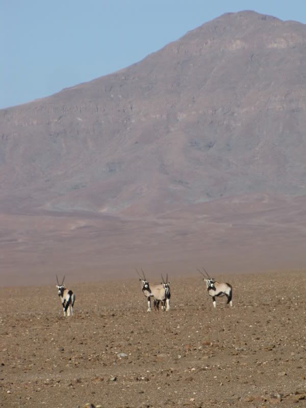
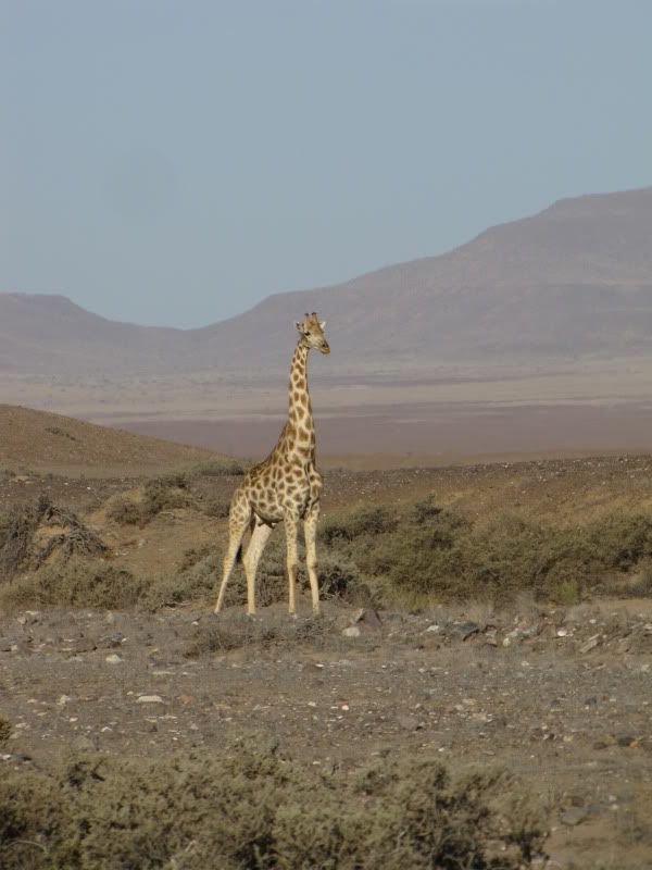
My fuel was on reserve and we still had about 30 km to go and the fuel containers were empty. At the rate we were traveling this could take another hour and a half. I was unhappy about the possibility of having to spend a night on the roadside and I expressed these feelings to Kingsley in a not-so-nice way. He just continued encouraging and praising me.  Seeing the odd Oryx, giraffe and springbuck didn’t help to lift my spirits either. Purros just never seemed to arrive. By now our spirits, confidence and endurance were at an all time low. I had already taken a fall and my hands ached, my arms, neck, and shoulders ached and I hated this aweful place.

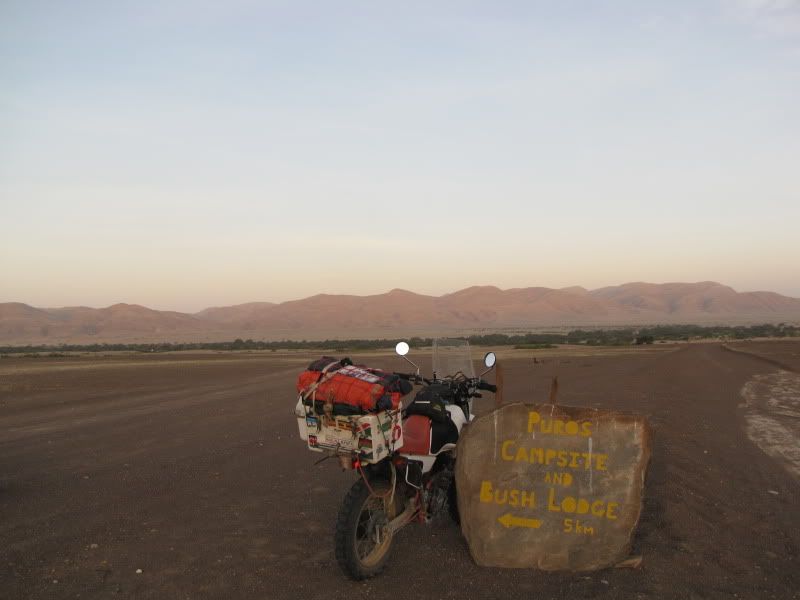
Just when I thought I could no longer continue we saw the beautiful and colourful rock indicating that we had arrived in PURROS and that the campsite was a further 5km away. Civilization! What a relief.


img_2685.jpg


It was here that I finally ran out of fuel. We drained just enough fuel from the tenere to get me to the camp. The time was now 8.15pm and we finally limped into the campsite only to be told that they were fully booked but we could set up a tent behind the office. Decided to check out the bush lodge nearby instead. This was N$300 per person but we no longer cared about the money and we needed to indulge ourselves. We had deserved it.
Before settling down for the night we did some much needed maintenance on the bikes and made a decision to leave the topbox behind and repack as best we could without it. In hindsight this turned out to be a lot easier than we anticipated and would make us rethink our type of packing in the future. We celebrated Christmas eve with tea and flavoured rice as there were no facilities for any other Christmas festivities. Definitely no hangover tomorrow!

Despite this being a challenging route Kingsley thoroughly enjoyed this D3703 ride and found a lot beauty in it. At one stage during the afternoon an Oryx got spooked by the motorbikes and set off at a rapid pace but was heading towards us. From behind it looked as if Kingsley and Oryx were on a collision course and it shot across the road just in front of him. I must admit this was a spectacular sight.

Maybe one day I’ll look back on this day and think “oh it wasn’t such a bad road”. I’m already thinking along the lines of wanting to visit Kaokoland again –  doing it at a much slower pace though. I am now chuffed with ourselves that we rode the D3707.


DAY 12                        *CHRISTMAS DAY!*
Arrive:  PALMWAG
Distance: +/- 240 km
Time out:  10.30 am – 7.30 pm

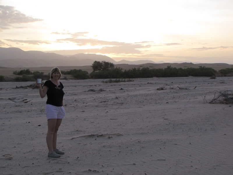
Woke up feeling a lot better and relaxed. We initially forgot it was Christmas. Easy enough I suppose when you are  away from your family  and the whole xmas hype. Enjoyed a cup of coffee whilst walking around the dry HOARUSIB RIVER bed. There was a strange beauty about this place. Despite the campsite being full you still don’t see any people around as there is a fair amount of bush and trees along the edge of the river bed offering a bit of privacy to the campers and cover for the animals.


img_2687.jpg


We decided we needed to move on. This is a decision I regret and I wish we had just slowed things down a bit and not been in such a hurry. I keep thinking how great it would have been to explore this area by riding up the river bed and looking for the ellies. But it was not to be. Went to the Okahirongo Elephant Lodge in search of fuel.

This stylish lodge was quite stunning with a wonderful view although this morning it was a little hazy. We were fortunate to get enough fuel to get to Sesfontein which was 110 km away. One of the chaps also told us that the road was much better. We weren’t sure if we should believe him.


img_2694.jpg

Okahirongo Elephant Lodge

Eventually we got going but trying to find the track to cross the river bed was rather tricky. We weaved our way in and out of the bushes through thick sand until we found a way out.


img_2692.jpg

A scene leaving the Purros camp


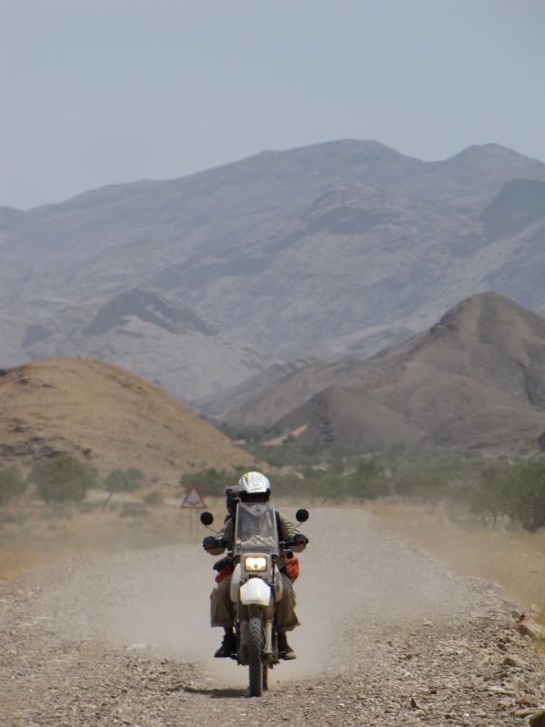
Purros is a small settlement with several houses dotted around which we soon left behind as we headed off in an easterly direction. We followed the Comatum River bed and crossed it several times, zigzagging it for about 40 km. At one stage I saw lion spoor  along  the track but I wasn’t taking a chance stopping to take photos of it. The road wasn’t too bad but just slow going with very pretty surroundings.


img_2701.jpg

Having a rest in the river bed.


Traveled many kms through the GIRIBES PLAIN. No trees, just a very sandy track and dry savannah grass in either side. Once again we deflated the tyres which helped tremendously. Always a bit hesitant to deflate as we only carried a hand pump – hard work in the hot sun. This stretch of road was very taxing on the body and bikes. Soon my air filter became clogged up and we needed to clean it as the bike was sputtering badly. This we did by washing it with dish liquid, water and a scrubbing brush and allowing it to dry in the sun.


img_2704.jpg


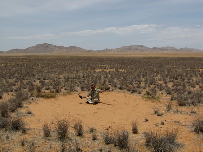
We took this opportunity to take some photos of the ‘fairy rings’ that we were lucky enough to see. These are round patches of sand with nothing growing inside and there are several theories as to why –which I won’t go into. My theory is “ take a look at what’s inside one of those rings and you will understand why nothing wants to grow there”.


img_2706.jpg


Set off once again. The sun now high in the sky, sweltering hot and riding slow.


img_2708.jpg


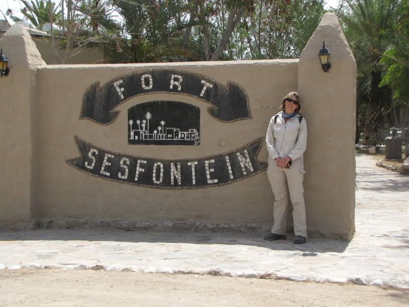
Arriving at Sesfontein was not a very exciting experience but it was good to be there as we knew we would find something cold to drink at the old fort and they would surely have some fuel.  Discovered that we had cellphone network and let the family know that we were still alive and well and wished them a Merry Christmas.


img_2709.jpg


img_2712.jpg

Somewhere between Sesfontein and Warmquelle.

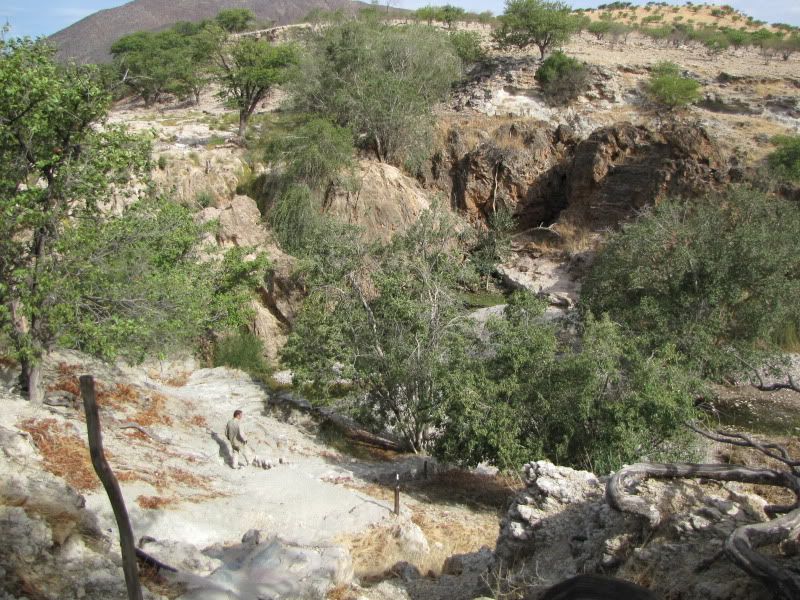
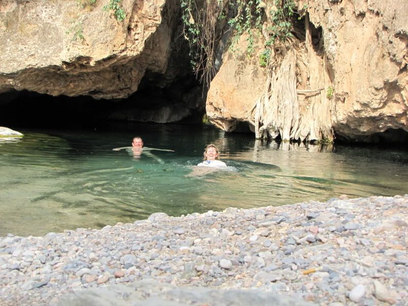
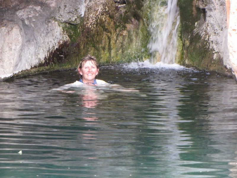
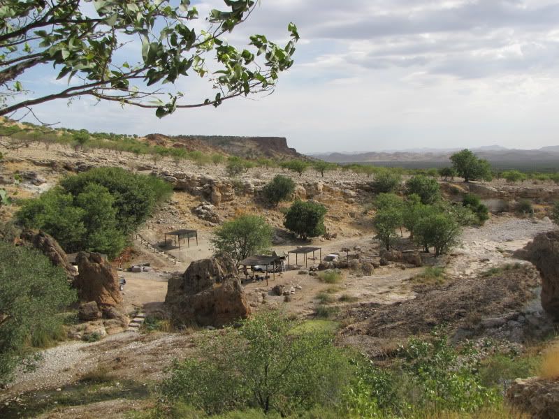
ONGONGO CAMP was to be our next stop and here we would find a clean natural pool and waterfall.  We soon found ourselves on the C43, a relief to be travelling on a good gravel road again. I was a bit apprehensive about the last 6 km to the camp site as we kept on hearing and reading about this terrible rocky road that required a 4x4 and high clearance. Once again curiosity got the better of us and we decided to investigate. After what we had travelled on this was a piece of cake!! This is not a bad road at all so don’t be put off by what you read. You must visit here if planning a trip to Namibia. This is a special little place in the middle of rocks, rocks and more rocks with bright green trees dotted around. At the bottom of a steep pathway is a clearing with a lovely crystal clear pool with a narrow waterfall set further back in the rocky cliff.
Off with the dusty boots and smelly socks and in we went, clothes and all.

img_2715.jpg


img_2718.jpg


img_2720.jpg


The campsites looked very nice but we needed a pub and restaurant and still soaking wet and refreshed  we set off for Palmwag,  about another 80 km away and it was now 5.30 pm.


img_2714.jpg


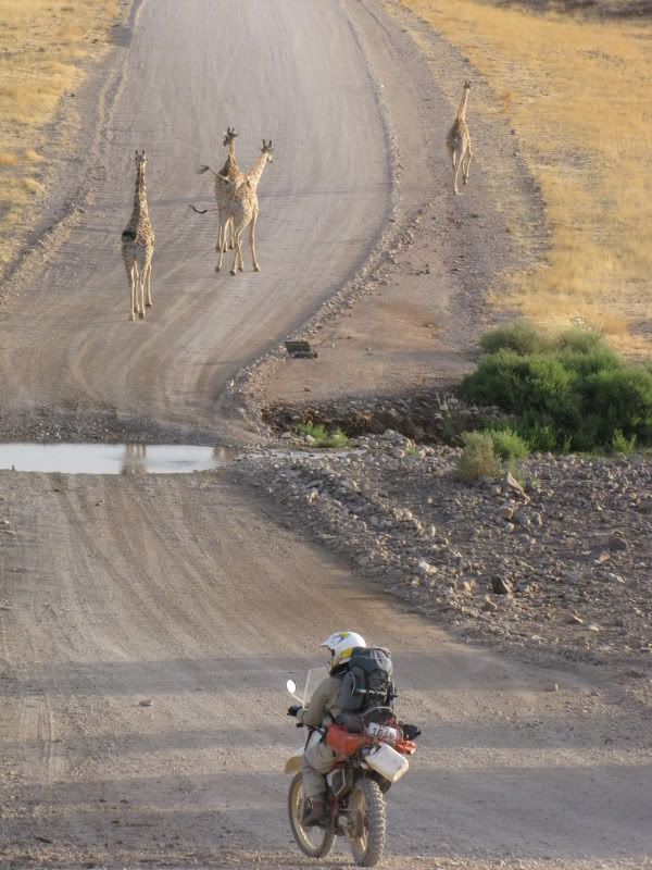
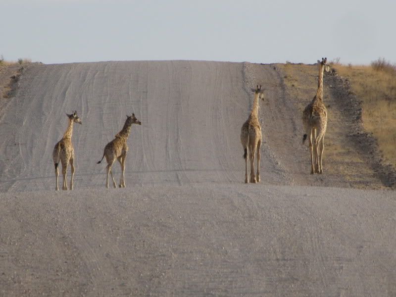
Riding was easy, we dried off quickly and were making good time. Being late afternoon we were treated to some magnificent animal sights.  On several occasions springbuck came sprinting out of the bush and across the road in front of us.  We came to this rise in the road and looked down to the dip below and saw numerous giraffe and zebra drinking from a pool of water in the road in front of us. We switched off our bikes and watched trying to absorb fully this awesome African experience. They soon got nervous and moved off.


img_2728.jpg


img_2732.jpg


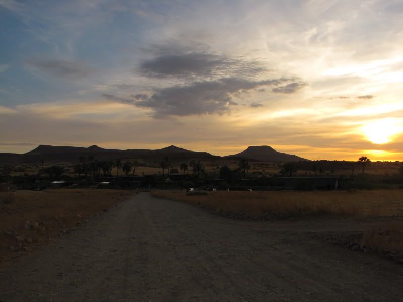
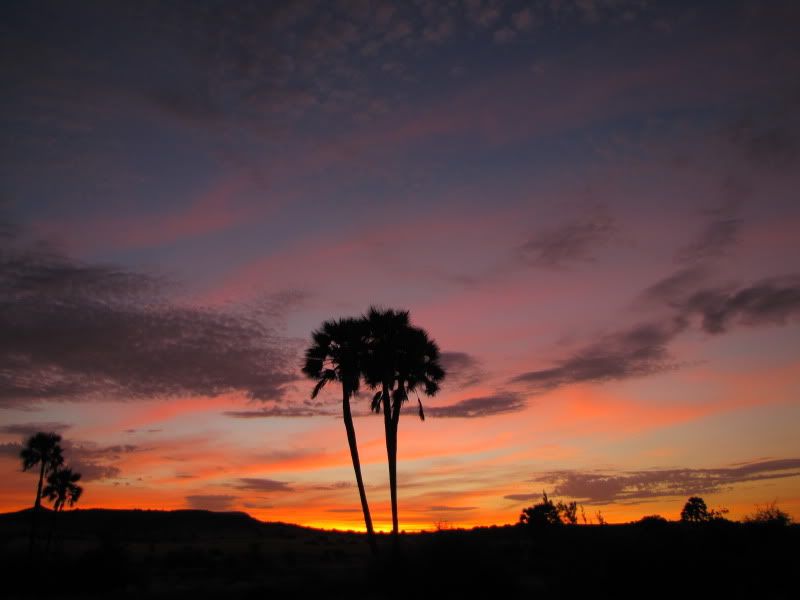
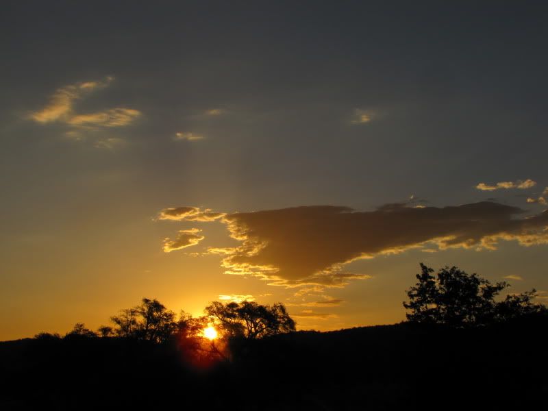
Feeling indulged we were on our way again and arrived at PALMWAG LODGE just in time to see a beautiful sunset bringing an end to a most wonderful Christmas day.


img_2733.jpg


img_2735.jpg


I think we may have missed the most beautiful part of Nam on our trip.
Your photo's are superb.

Are you coming to the FS bash end of March?
 
DAY 13
REST DAY AT PALMWAG

Enjoyed a lazy start to the day. Arranged to have our laundry done. We had been handwashing our clothes every day as we ride in the same clothing each day and we were now starting to look worse for wear. It’s rather embarrassing  arriving at a smart place late afternoon looking dusty and grubby and perhaps even a bit smelly.
Kingsley did a bit of bike maintenance, washed and POLISHED our boots, pumped tyres and went to refuel the bikes. All ready to hit the coast.


img_2744.jpg


Spent the rest of the day relaxing around the pool. We were pleased to see another biker arrive at the campsite as bikers had been scarce on this trip and we had started  to feel  that we were the only crazy people  tackling this route on bikes.
Later that evening we got chatting. He was a German doing contract work in Namibia and  was cruising around on his own on a Honda 200cc.He enjoyed red wine and slept on campsite tables – too lazy to pitch a tent and this was the best way to keep out of the ‘crawl of kreepies’.


img_2742.jpg


img_2737.jpg


Palmwag will remain in my mind as an absolute oasis. It was clean and organized with friendly staff. Even the loud, inconsiderate crowd of  German campers couldn’t spoil the experience of this nice place.

Not too sure about the route we were travelling tomorrow as we had read conflicting reports about bike access into the Skeleton Coast National Park. If we were refused entry we would have to turn around and double back via Twyfelfontein.  We decided to take the gamble as we had promised ourselves that we would rather take a risk than taking the easy way out  and miss opportunities we would certainly regret later.  Anyway we would give it a try and see what tomorrow brings.

DAY 14
Arrive: HENTIES BAY
Distance: +/- 370 km
Time out: 8.30 am – 5.30 pm

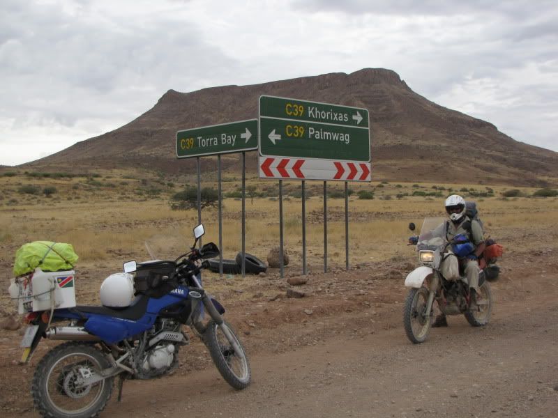
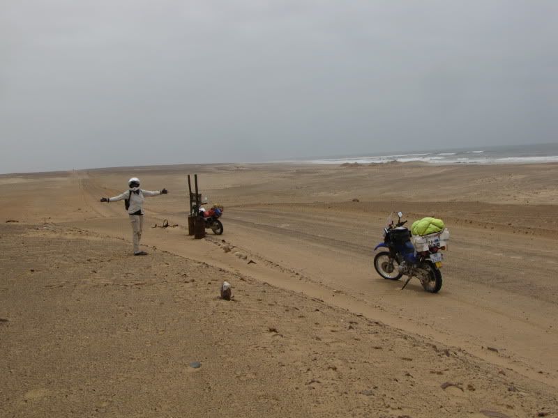
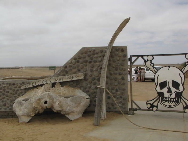
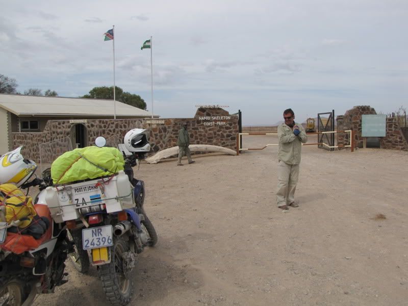
Shortly after leaving Palmwag we saw a giraffe and her baby on the side of the road. What a special way to start a new day. Turned right onto the C39 and headed towards the Springbok Wasser Gate - the entrance to the SKELETON COAST NATIONAL PARK. This was a divine road with amazing scenery and made for comfortable riding. There were areas of huge, ancient Welwitschias - a most unusual plant. We saw plenty of kudu, oryx and springbuck. One landscape we passed through reminded me of the ‘Wild West’ with huge prairies and little hillocks rising up to flat tops.


img_2747.jpg


img_2749.jpg


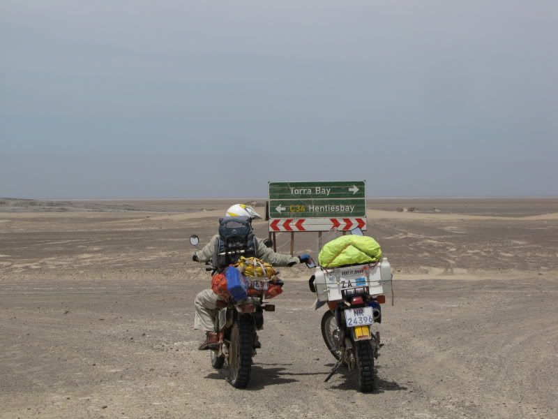
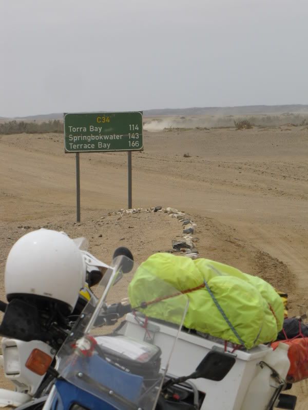
As we got closer to the park entrance we could feel the cool coastal weather. It actually got chilly and in the distance one could see the cool mist rolling in. The cold weather may have been on our side, as the official, snug in his office did all the documentation and was probably not aware that we were on bikes. We were through. It was 38km to the Torra Bay turnoff but we didn’t get too far before the cold weather had us digging in our bags for any warm clothing.


img_2750.jpg


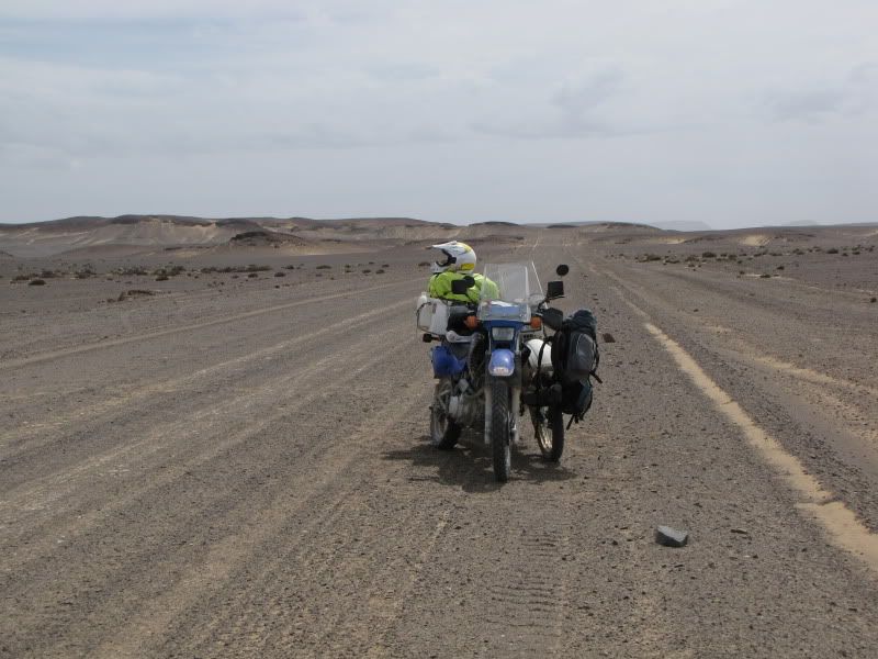
Sand and dunes replaced the vegetation, giving it a stark, barren and empty appearance. Everything looked grey with a dusting of black. Once again felt as if we were on another planet. Finally arrived at the turnoff and we headed south towards Henties Bay. In the distance we could see the sea and  could definitely feel the cold from the icy Atlantic ocean.


img_2752.jpg


img_2753.jpg


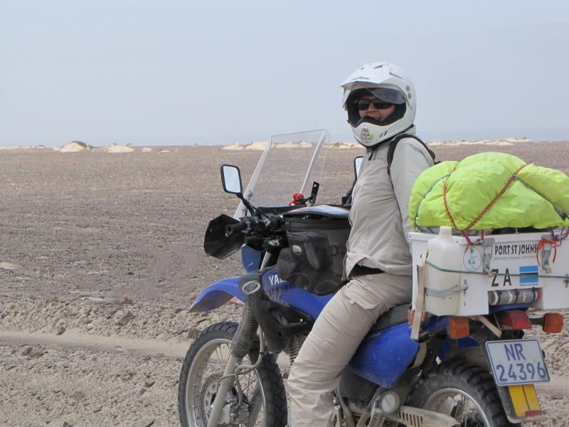
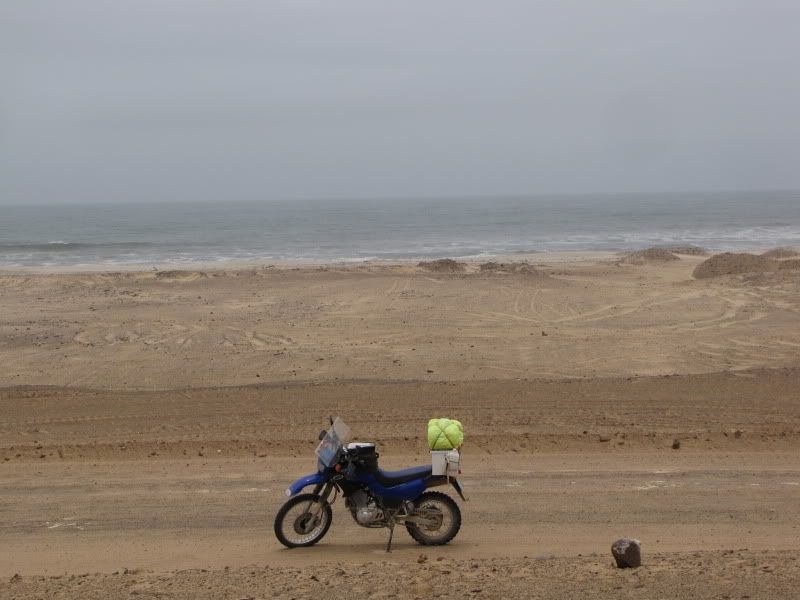
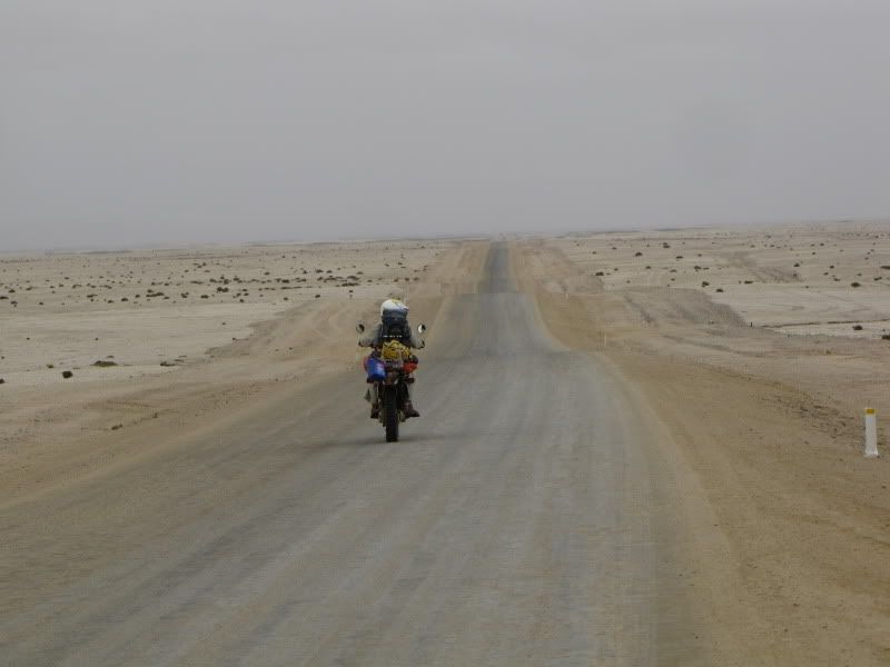
Initially the road was terribly corrugated and sandy. I had this awful feeling that this was going to be a repeat of the Purros ride and we had another 110km to go. The only difference being the odd fishermen  in their 4x4’s en route to their favourite spots. Catching a glimpse of the ocean every now and again was exciting after days of desert conditions.


img_2757.jpg


img_2759.jpg


img_2762.jpg


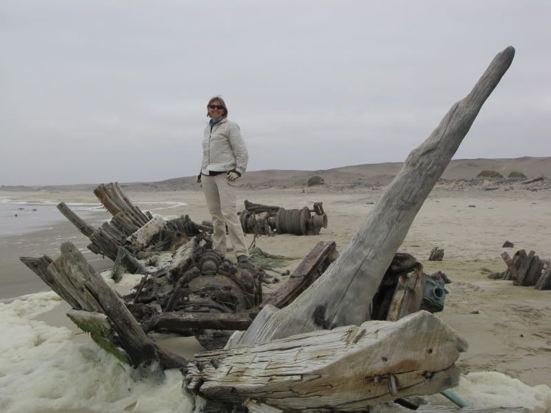
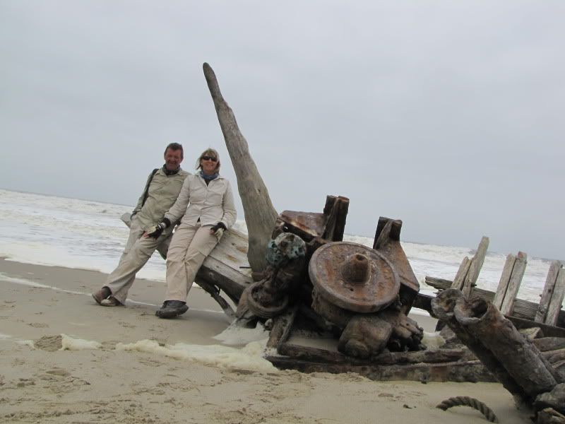
We turned off to check out one of the many shipwrecks found in this area. A combination of rough seas and thick fog gave the Skeleton Coast its name and many sailors have perished along this harsh coastline. This a rather inhospitable area with Torra Bay and Terrace Bay being the only accommodation available.


img_2774.jpg


img_2773.jpg


Finally drove out of this fascinating area and felt quite privileged to have done this ride.


img_2776.jpg


img_2775.jpg


img_2777.jpg


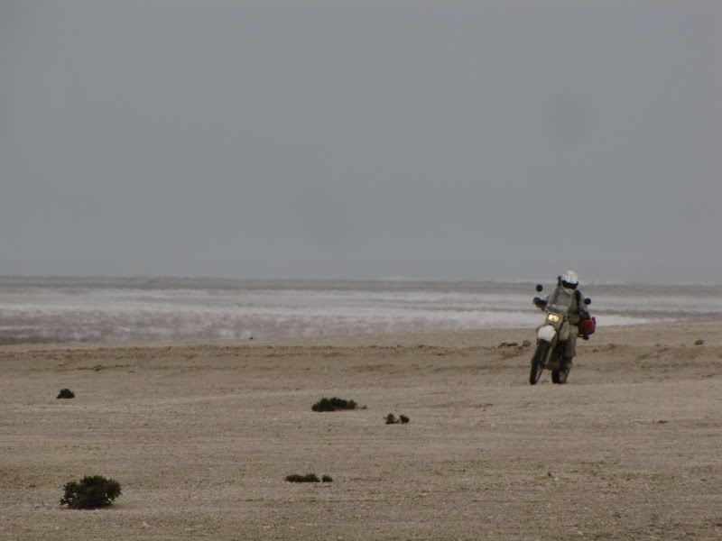
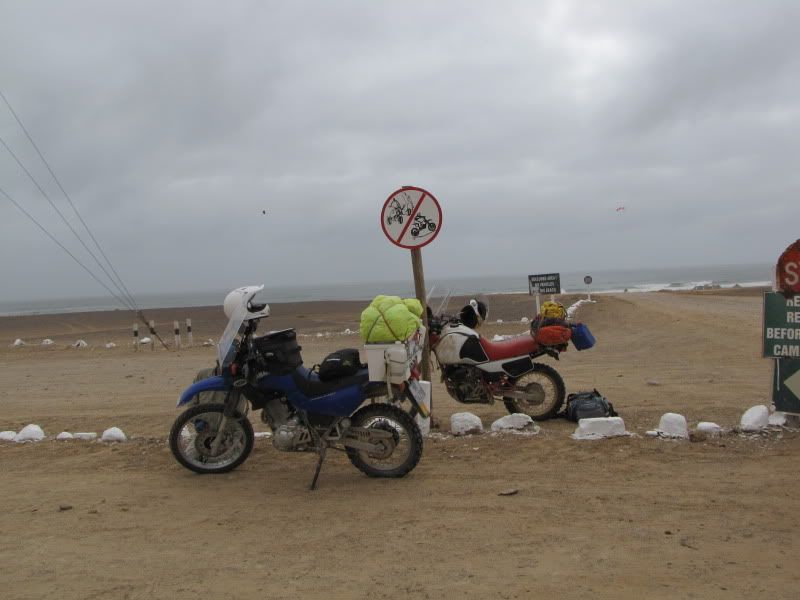
Here the road becomes a divine salt road with a hard smooth surface. We had to constantly keep our speed in check. The only danger on this road were the fishermen travelling at excessive speeds. Perhaps this is the reason for the many remembrance crosses on the side of the road.  We were heading for Mile 108  to refuel  and possibly spend the night. However on arrival we discovered that motorbikes were not welcome. Just as well as the place was teaming with fishermen.


img_2779.jpg


img_2781.jpg


img_2782.jpg


Henties Bay was another 92km away and decided to move on. It was now 3.30 pm and it was getting colder. We arrived at  Henties Bay only to discover there was no accommodation at the camp site. On further enquiry at the Eagle Shopping Centre we were told the same thing – the whole town was full. After much sweet talk the dear old lady let us have a room that she was holding for someone who had not arrived yet.
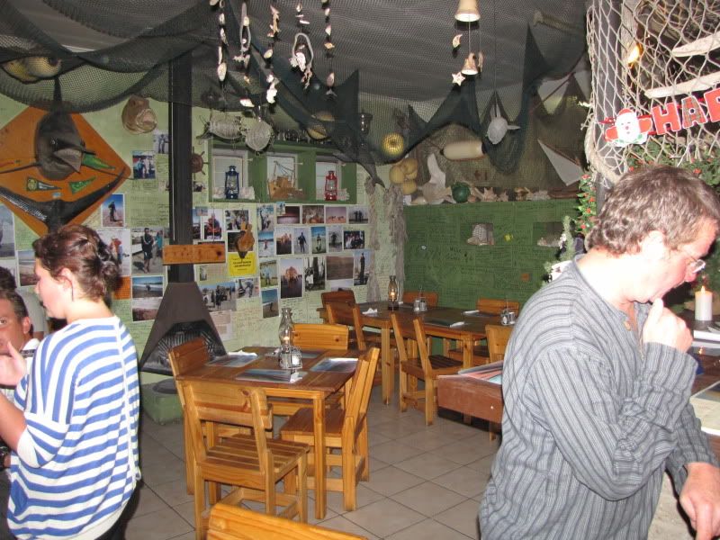
We settled in and went for a walk. It was a lovely little town with colourfully decorated homes and bubbling with the festive spirit. Discovered a lovely fishy restaurant and settled down to a divine meal.


img_2792.jpg


DAY 15
Arrive: SWAKOPMUND
Distance:  172km (including trip to the Cape Cross Seal Reserve)
Time out: 9.30pm – 4.00pm

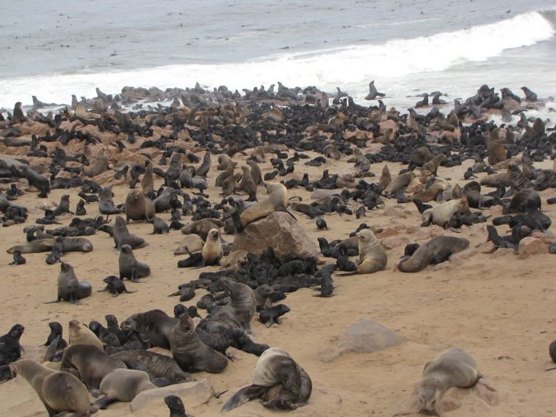
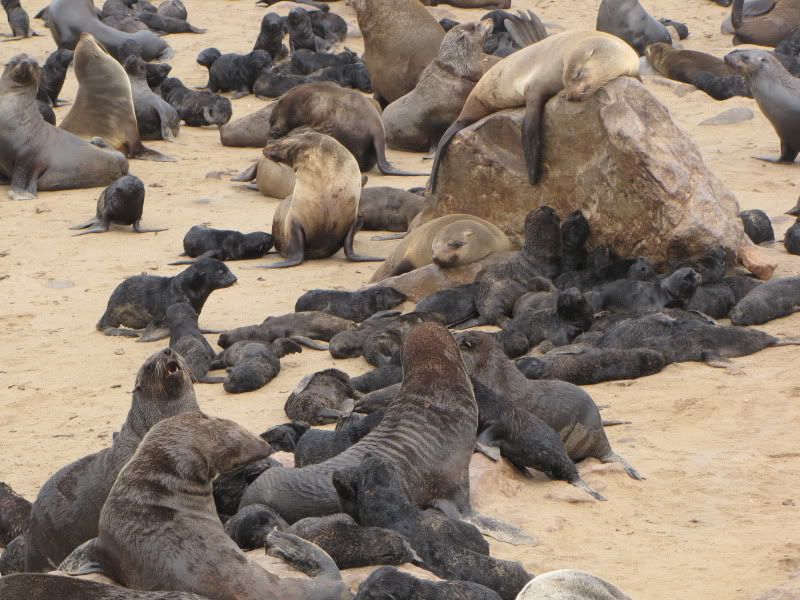
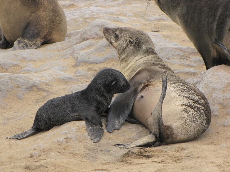
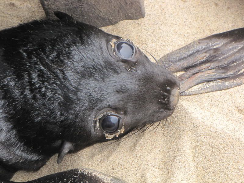
Headed north to visit the Cape Cross Seal Reserve, the home of the largest breeding colony of Cape fur seals.  November to December is the seals breeding season and as many as 200 000 seals can be seen. Motorbikes were not allowed the last 3km to the reserve so the officer at the entrance kindly drove us there in his vehicle. What a noisy, smelly place. There were thousands of little black pups, some on their own, some suckling, some sleeping and some dead! It was an unbelievable sight. The noise was a continuous bleating sound. It’s hard to believe that there is enough food in this part of the ocean to sustain these numbers and one can only wonder how the parents find their young amongst the crowd and the noise.

img_2800.jpg


img_2796.jpg


img_2823.jpg


img_2811.jpg


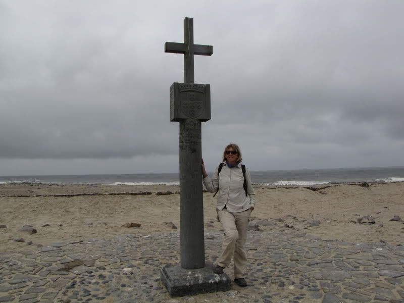
This is where you will find a replica of the first stone cross marking the spot where Portugese navigator, Diego Cao, came ashore in 1486.


img_2827.jpg


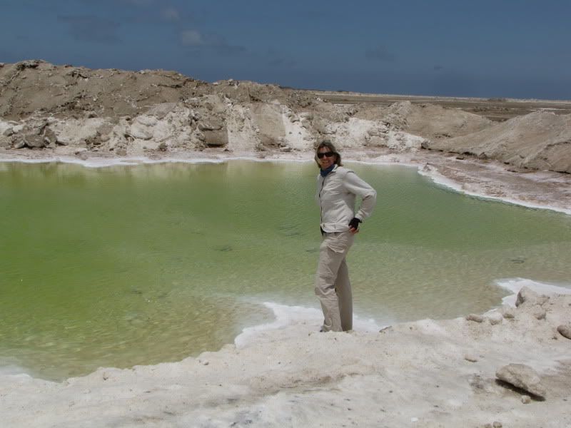
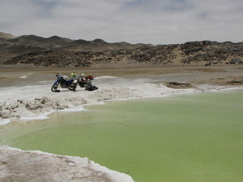
Once back on the road heading south again we stopped at an interesting little spot. This was a bright green pool of extremely salty water surrounded by mounds of salt. There were also many rock salt tables on the side of the road. Interestingly these were unmanned with only an honesty tin in which to leave your money.


img_2851.jpg


img_2856.jpg


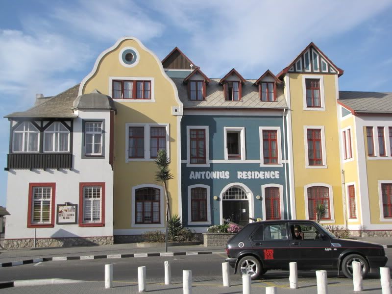
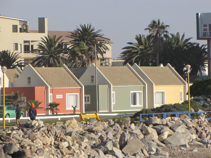
Set off for Swakopmund. Passed by some interesting looking holiday homes. The Namibians enjoy the use of colour, perhaps because their natural surroundings are so bleak and colourless.


img_2863.jpg


img_2867.jpg


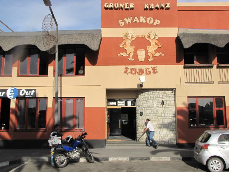
Arriving in Swakopmund was a bit of a shock to the system. Suddenly you’re surrounded by people, cars, buildings and noise and no available accommodation – again! We knew we were foolish to visit these big towns at peak season but felt we had to as we might never have the opportunity to do so again. The camp sites where full and after trying numerous backpackers we were fortunate to find a room at the Swakop Lodge. Lovely accommodation but noisy. There was a night club upstairs – I’ll say no more!


img_2869.jpg


Decided that THE TUG would be a good place for a sundowner. We were not disappointed.


img_2887.jpg


img_2905.jpg


img_2904.jpg


img_2900.jpg


DAY 16
Arrive: WALVIS BAY
Distance: 33km

Keen to get Swakopmund behind us as we were tired of the ‘big town thing’, however, we were glad to have seen the beautiful and colourful architecture. One wonders what stories these vibrantly coloured old buildings could tell, many of them being pre- World War 1.


img_2873.jpg


img_2890.jpg


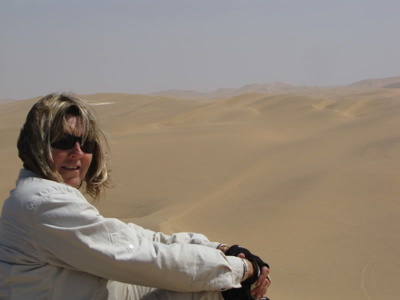
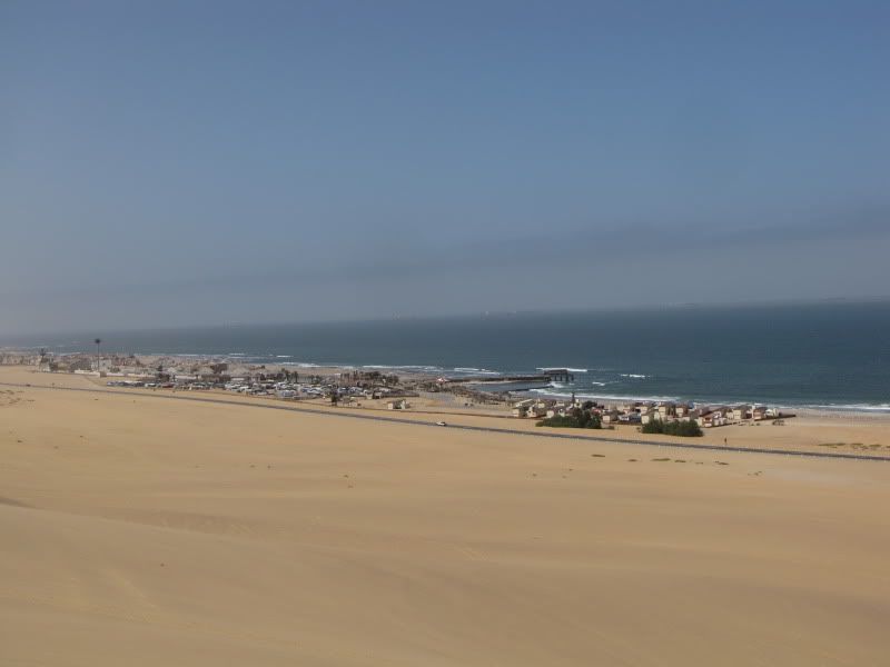
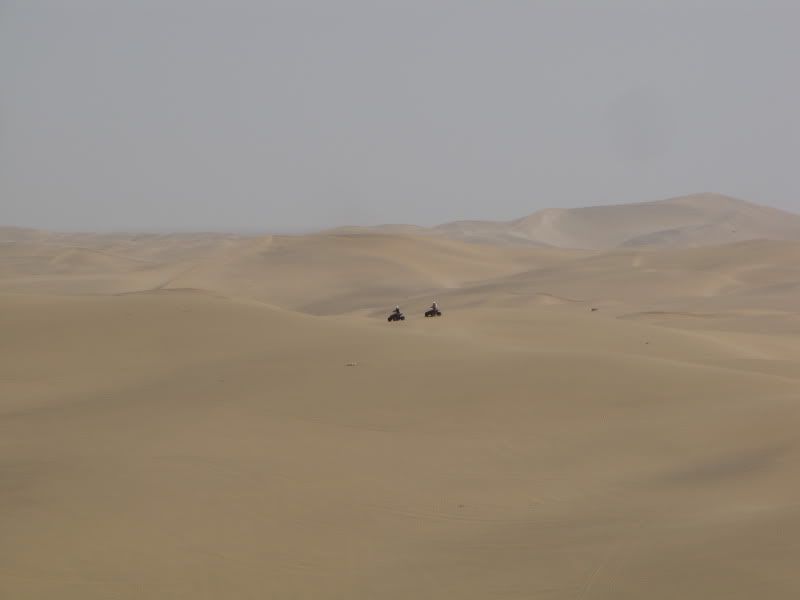
Heading south on the busy B2 we stopped to climb a high dune behind a quad-bike hire set up. Magnificent views of desert to the east and endless ocean to the west. Lots of tourest  and quad bike activity on the dunes. All seemed to be having fun. To each their own!


img_2915.jpg


img_2912.jpg


img_2918.jpg


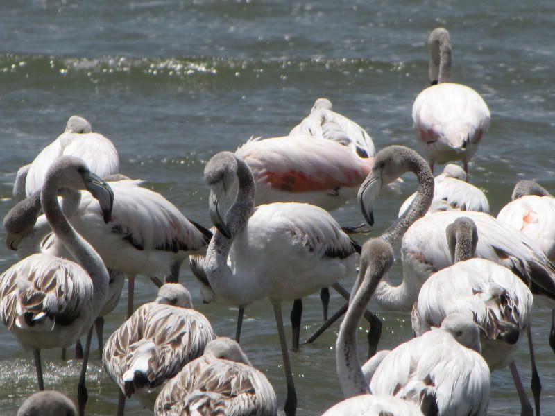
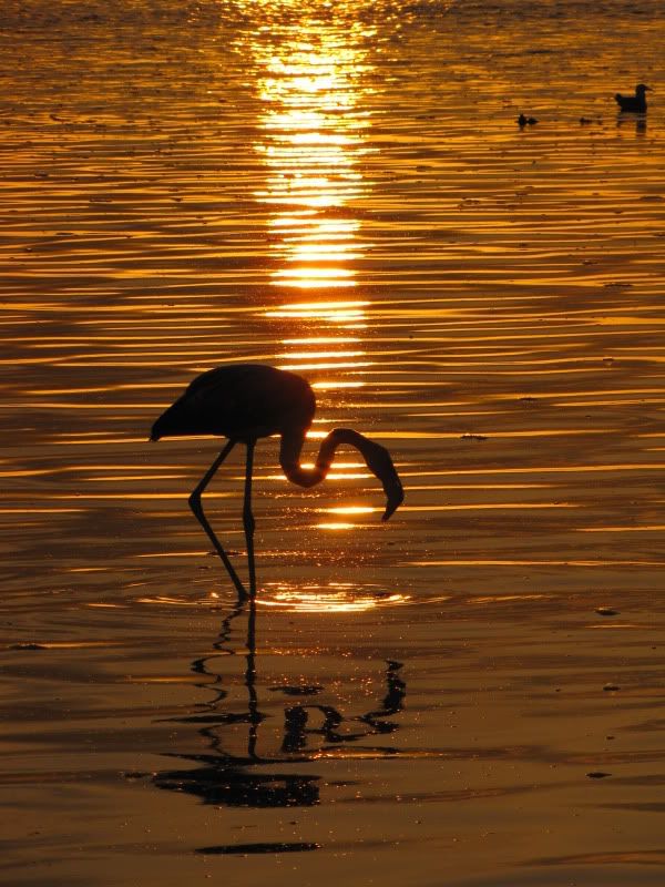
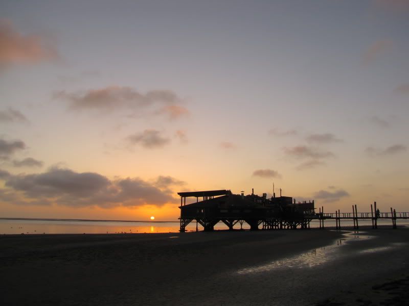
After setting up camp at the Lagoon Campsite on the southern side of WALVIS BAY we headed for the lagoon to watch the flamingoes and enjoy sundowners at the popular Raft Restaurant. This clean and charming town was surprisingly quiet for this time of the year.

We were looking forward to leaving the hustle and bustle of the coastal towns and heading back inland into the wilderness where we felt more at ease and we could take things as they came.


img_2938.jpg


img_2980.jpg


img_2994.jpg


Hi Guys,

Was a great pleasure meeting you! Remember this?
 

Attachments

  • dead vlei.JPG
    dead vlei.JPG
    128.2 KB
Stunning - absolutely inspiring stuff. Now please send me the recipe that would get my wife to join me on one of these  :biggrin:

Thanks for taking the time and making the effort to publish and share with us all.  :thumleft:
 
Top