Plothond
Race Dog
- Joined
- Sep 11, 2006
- Messages
- 4,929
- Reaction score
- 10
- Location
- Pretoria East - Home of Jameson
- Bike
- KTM 1090 Adventure R
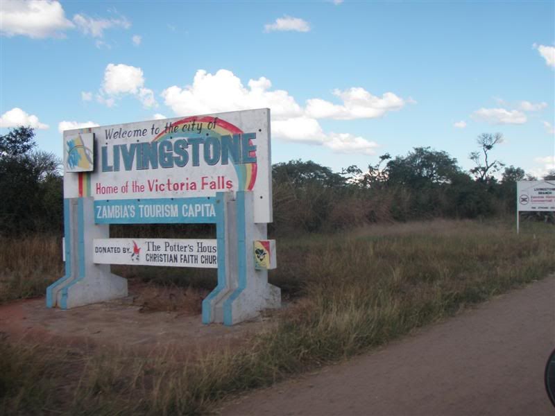
Day 8 – 8th May 2009 : Chipata to Lusaka
Route: Chipata, Katete, Petauke, Nyimba, Chongwe, Lusaka
Distance: 568km
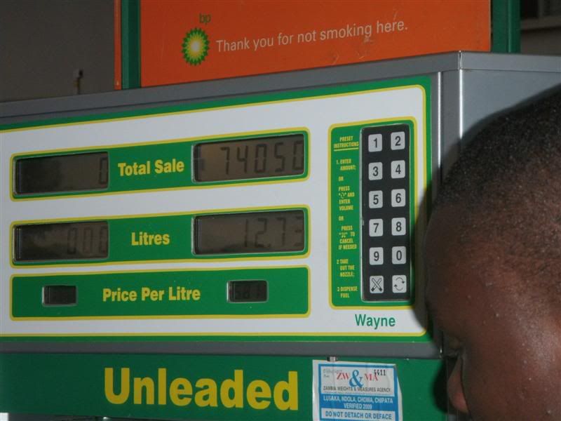
Fuel: Freely available although sometimes not at Nyimba (expensive)
Border costs: n/a
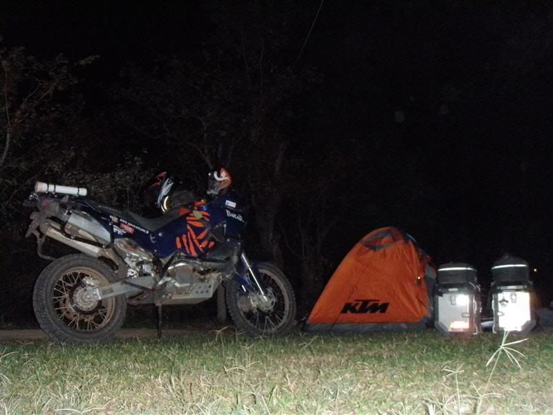
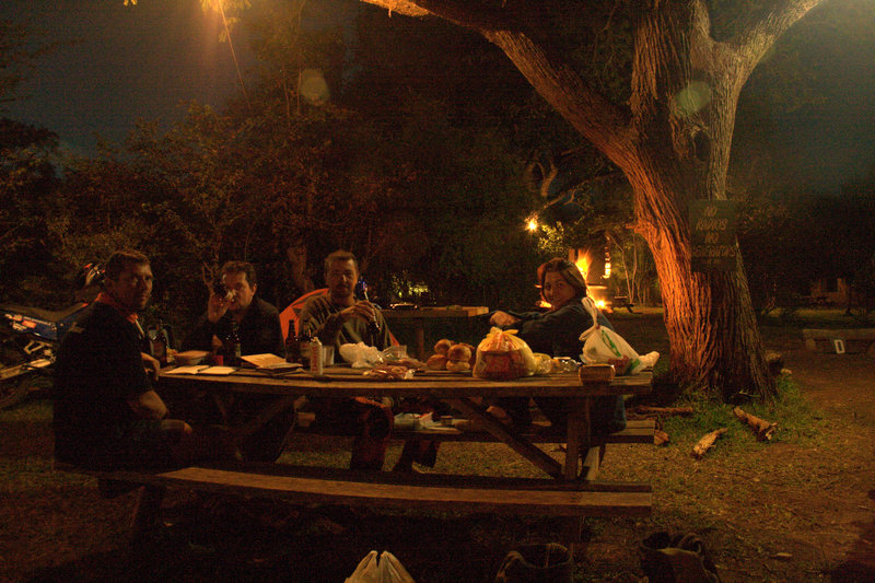
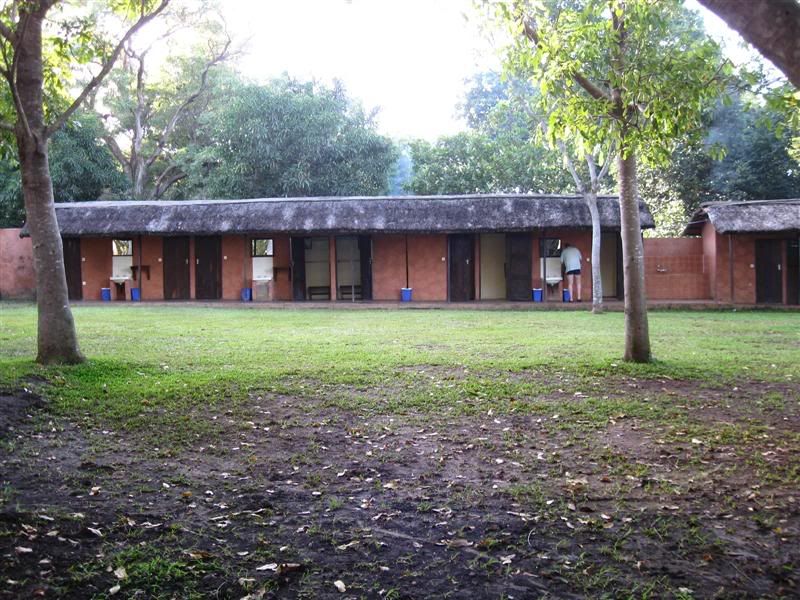
Accomodation costs: Pioneer camp – US$ 6.00 p/person. Good facilities, Bar & menu
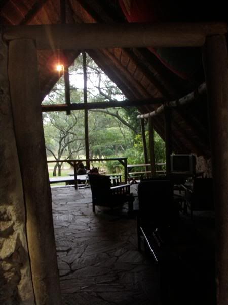
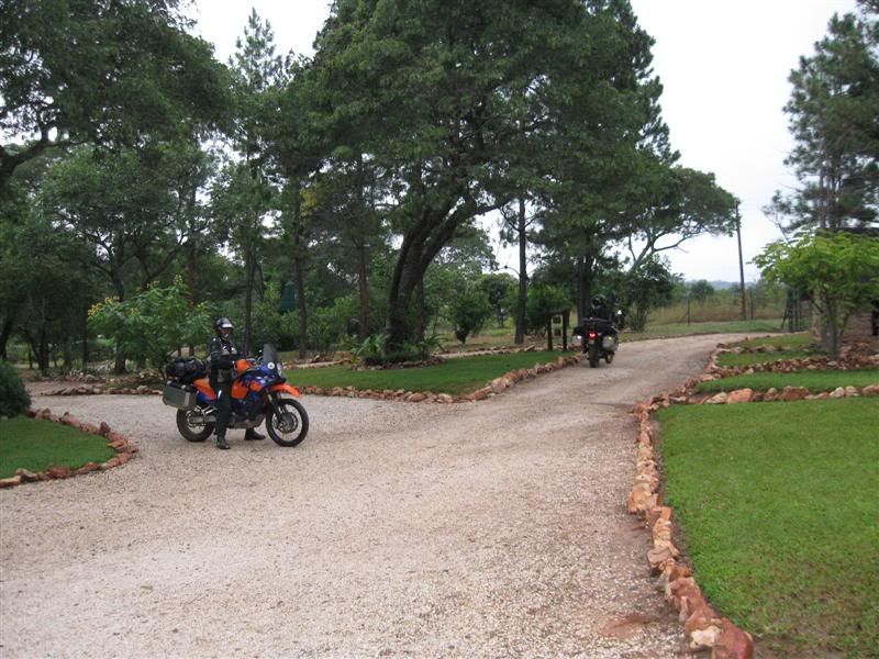
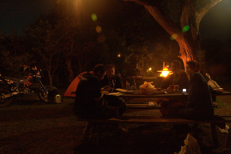
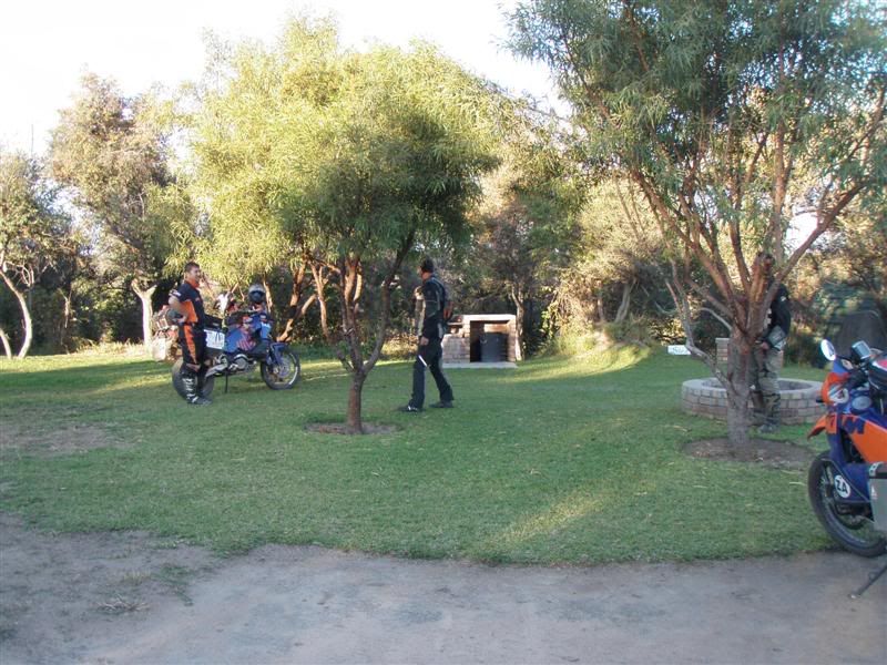
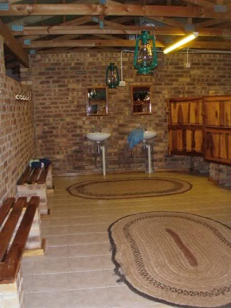
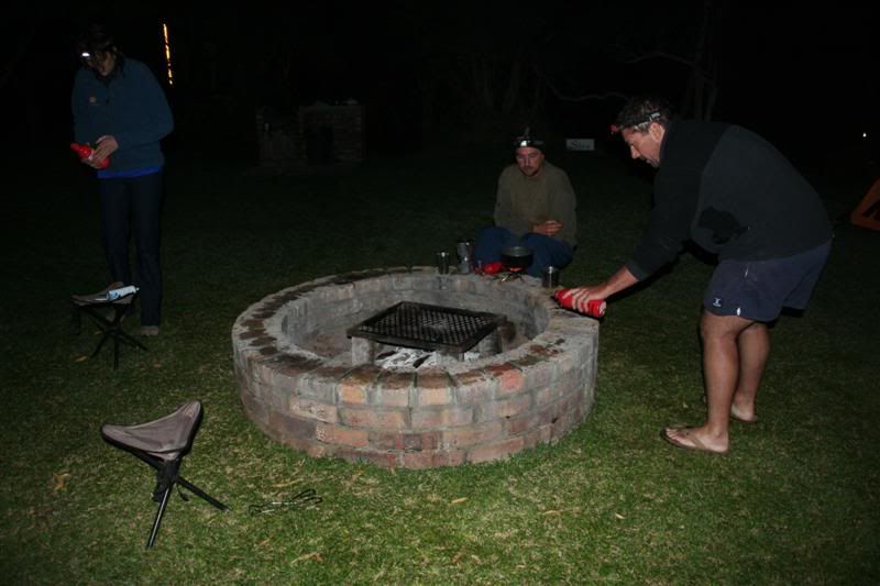
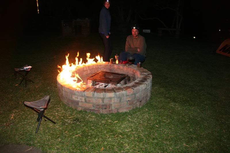
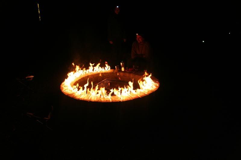
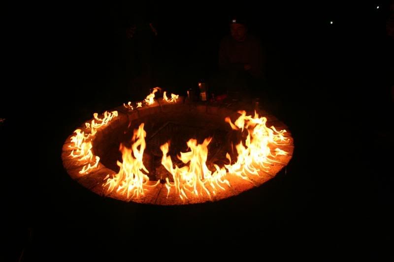
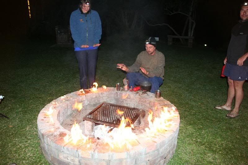
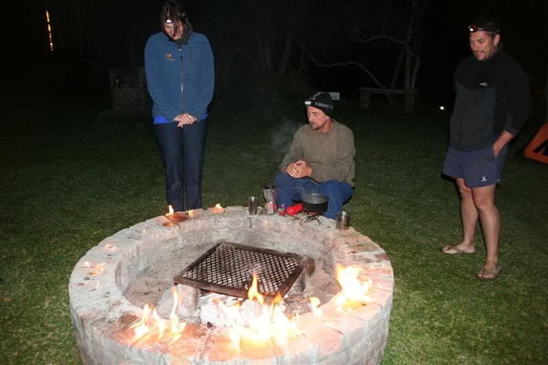
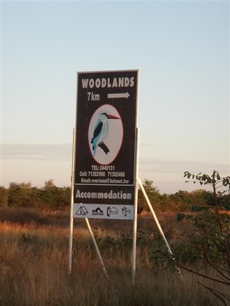
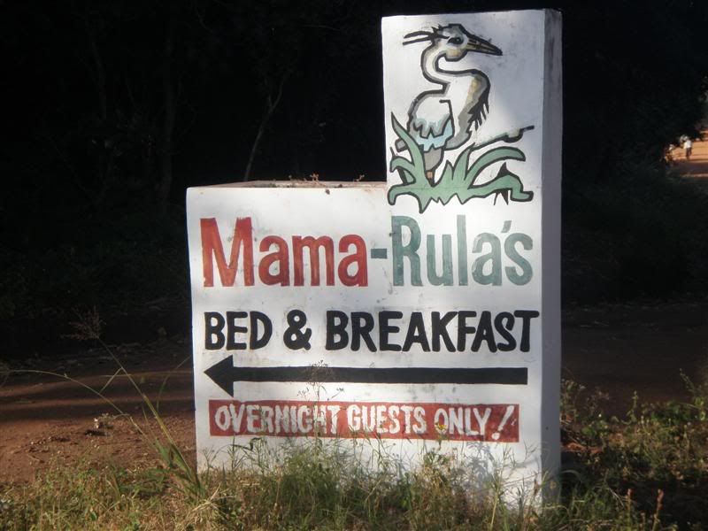
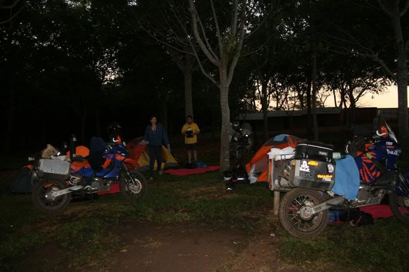
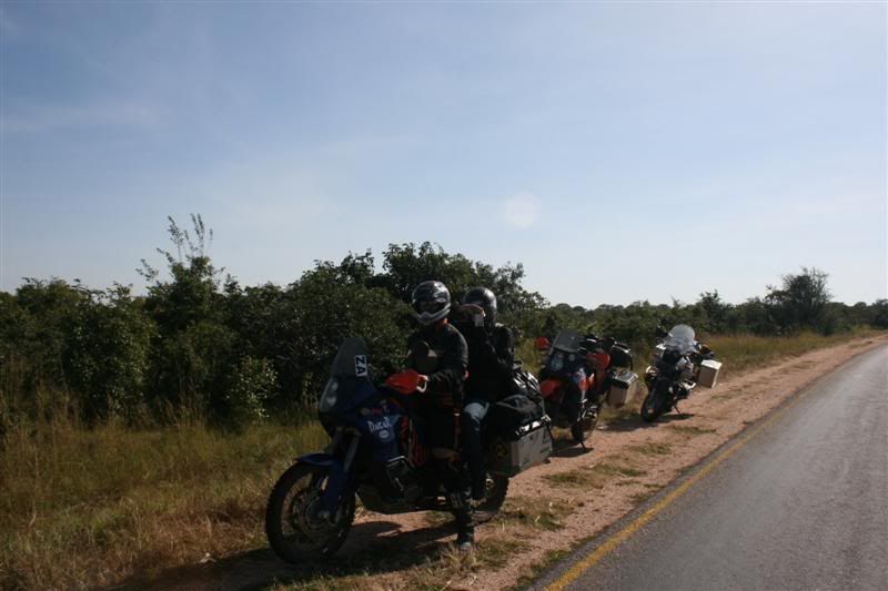
The campsite at Mama Rula's
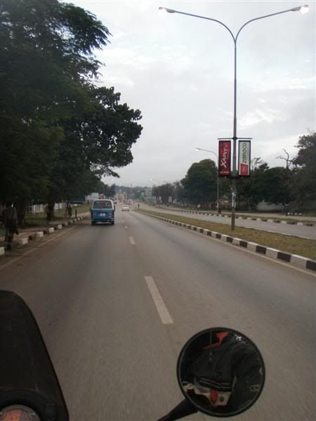
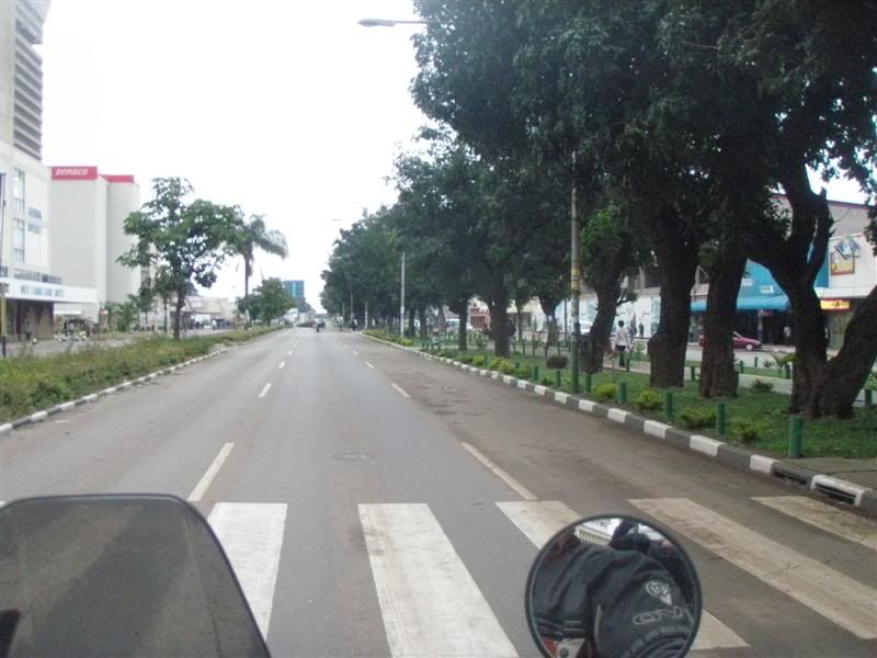
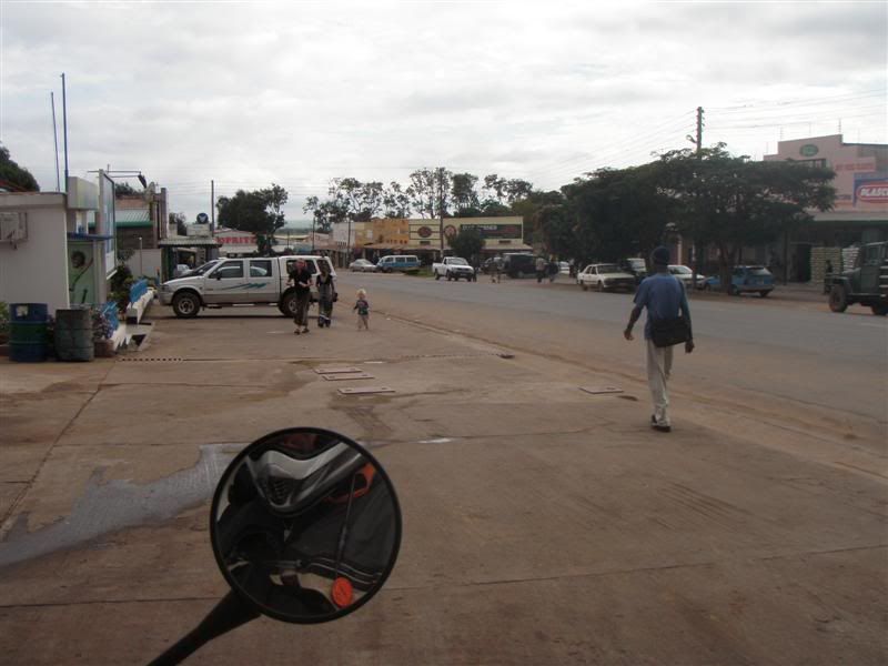
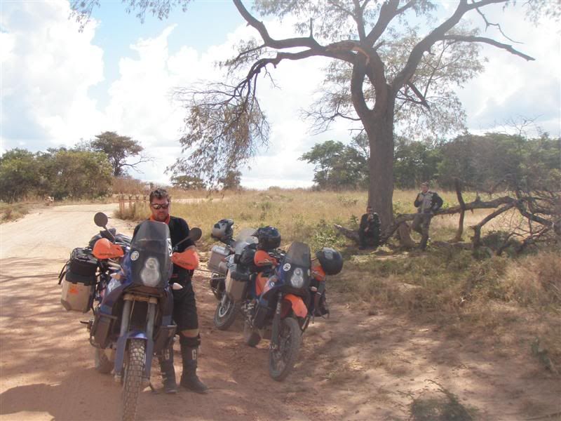
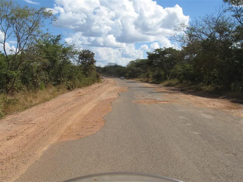
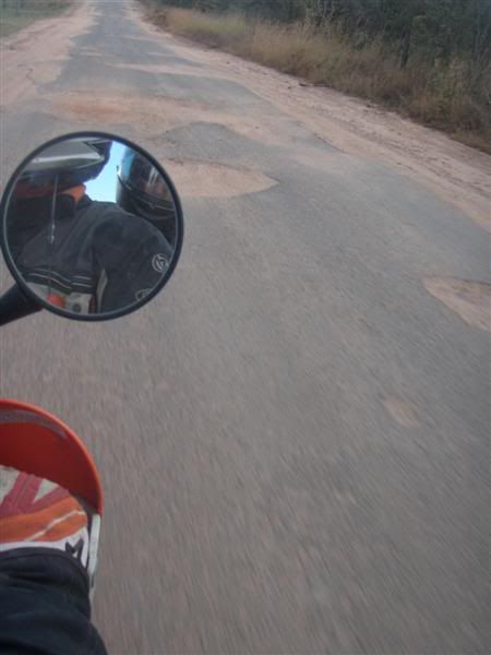
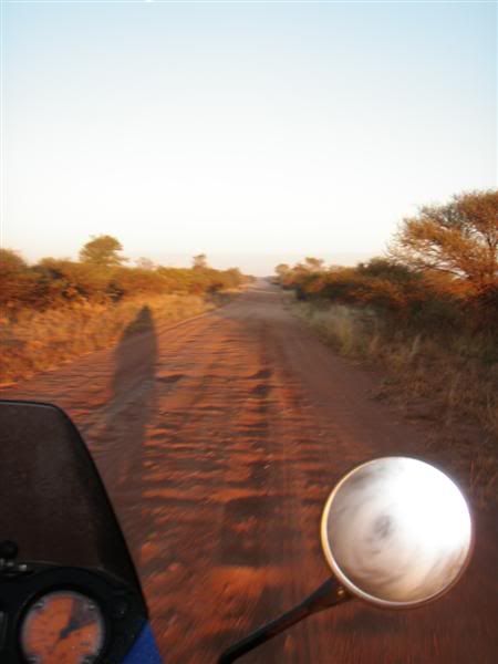
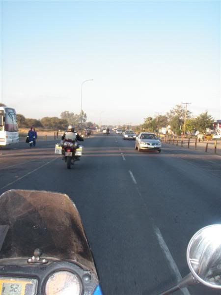
It would be incorrect to list this day as anything other than moderately interesting. The first 240km from Chipata to Nyimba was just a road in a foreign African country.
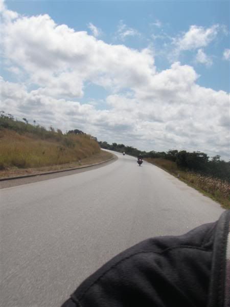
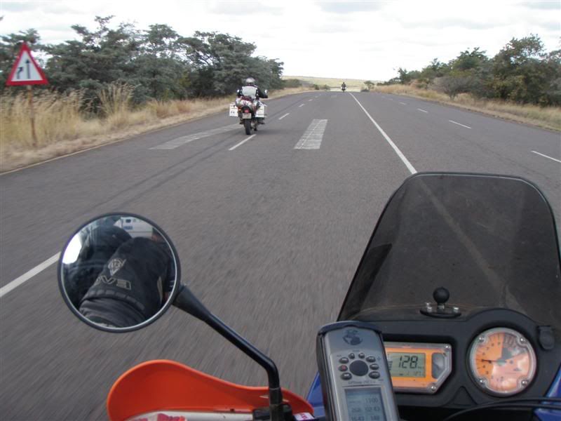
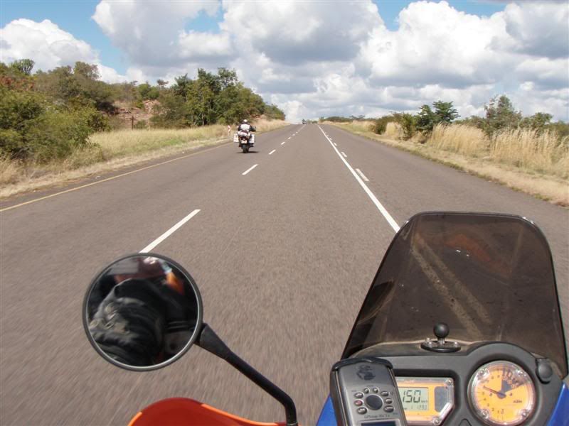
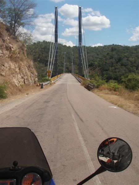
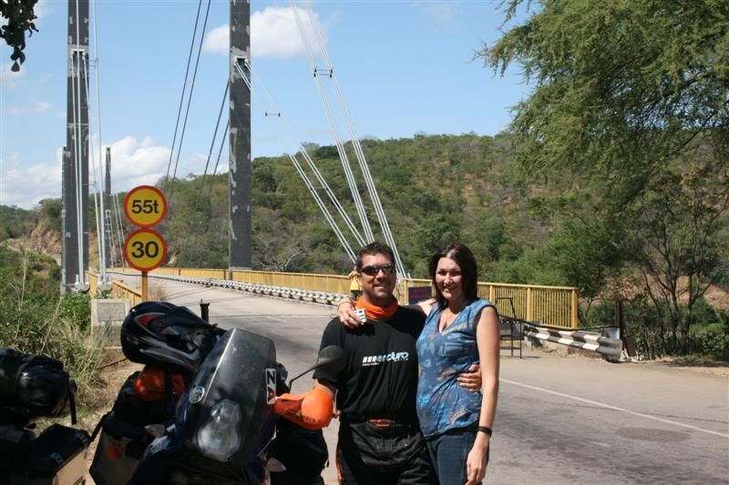
After Nyimba the next 120km made up for it and by the time we got to the Luangwa river bridge our hearts were pumping. I will come back one day, without panniers and really give it a go. Nothing like burning the last bit of carbon OUT OF EVERYTHING…. Heh heh heh…..
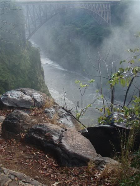
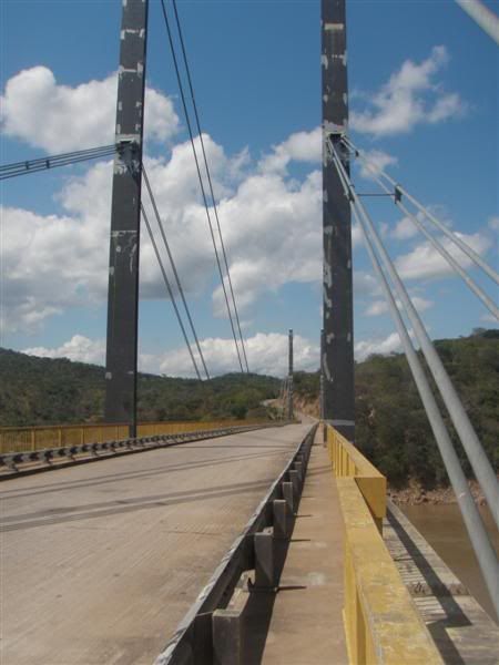
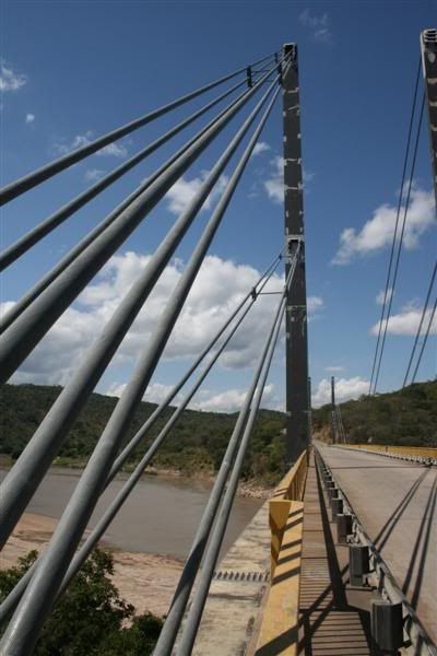
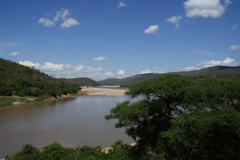
The bridges on our trip fascinated me and the Luangwa River bridge was one of them.
A bit of research revealed the following:
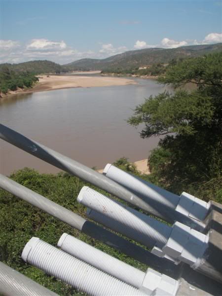
“The Luangwa Bridge is the only large bridge and the principal engineering challenge on Zambia's Great East Road, crossing the lower Luangwa River where it flows from the Luangwa Rift Valley into the Zambezi valley.
The river is 250-400 m wide in this area, and though in the dry season it may be confined to a shallow channel meandering across sandbanks, at the end of the rainy season any bridge has to be able to withstand a full-width, deep and fast-moving flood. The Great East Road runs for most of its length on watersheds at an elevation of around 1000 m, but the river is at an elevation of 390 m at the bottom of the valley. The bridge approaches have to contend with steep rugged slopes and deep ravines covered in forest or thick bush; the area is remote and about 250 km from the nearest city, Lusaka.
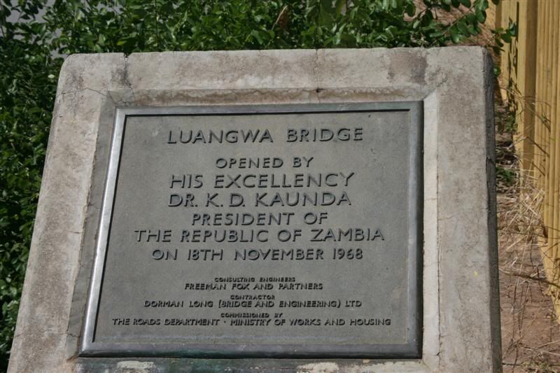
The First Luangwa Bridge was built in Zambia's colonial era in 1932 as a narrow 300 m long wide steel and reinforced concrete deck on concrete piers and columns. Its proximity to Mozambique and Zimbabwe, as well as its status as the only access point within the country for Zambia's Eastern Province, makes it strategically vulnerable in any conflict. After Zambia's independence in 1964, President Kenneth Kaunda's support for freedom fighters in neighbouring countries led to the bridge being destroyed in revenge.”
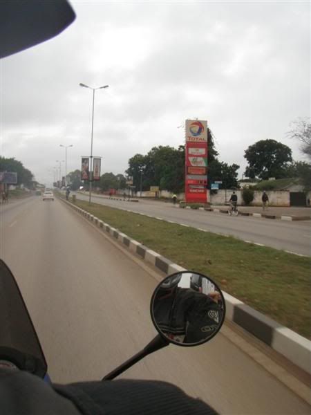
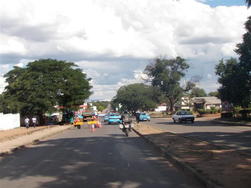
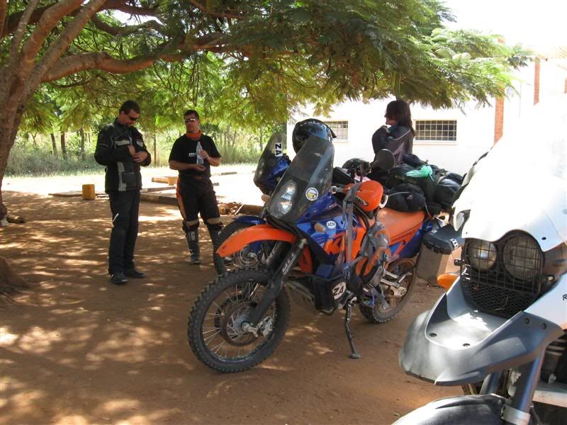
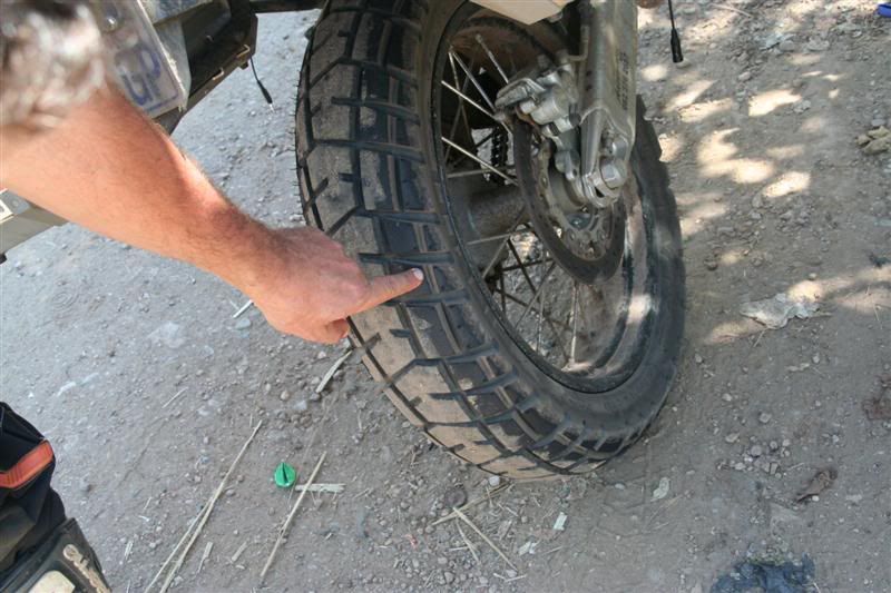
There was a horrible section where there were roadworks in progress and this is unfortunately where we needed to refuel.
Riding in the dust was one thing, but having an 18 wheeler hurtling past and showering one in tones of dust is another.
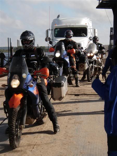
In for a penny ......
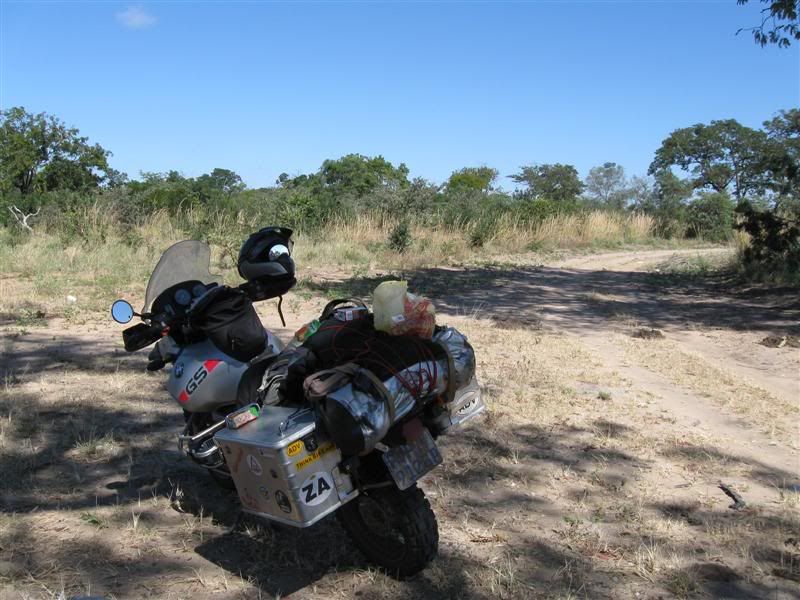
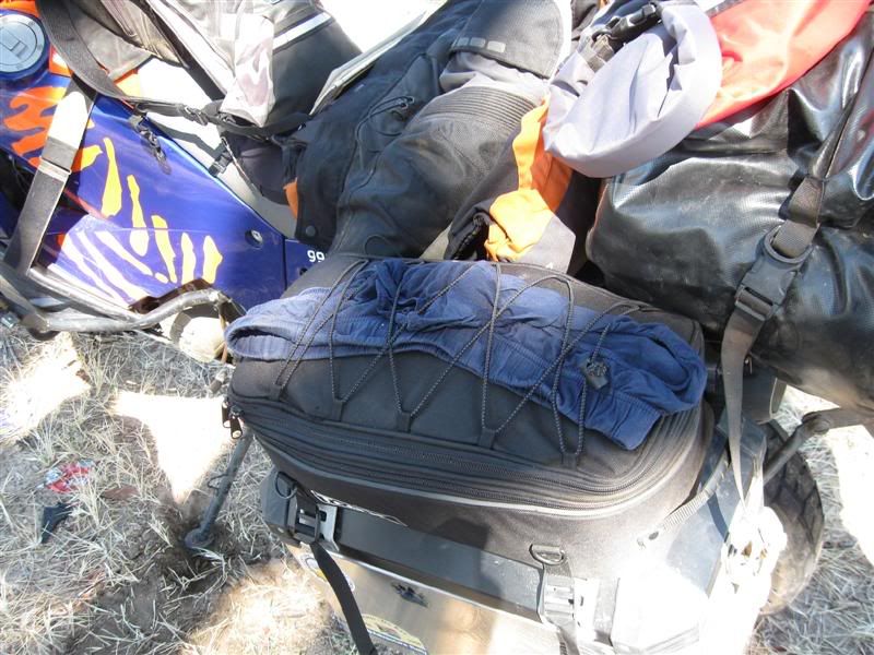
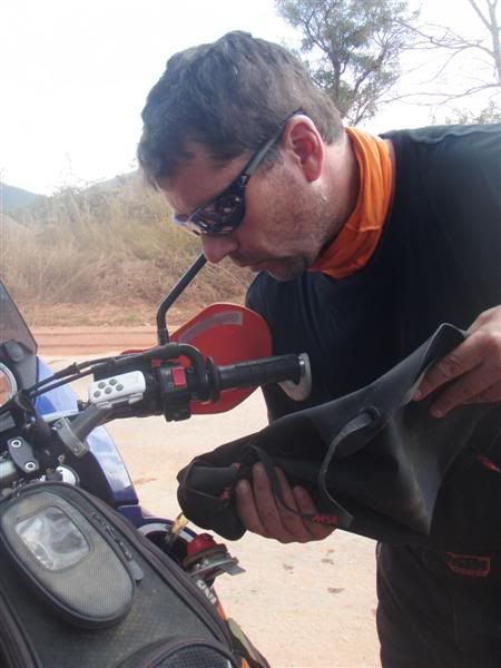
The Dromedary bags work really well
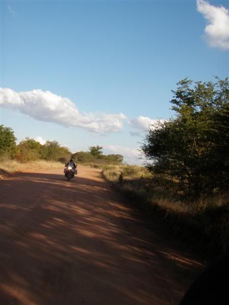
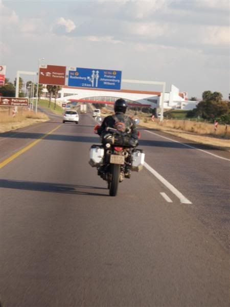
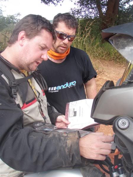
Making sure this was DEFINATELY the road to Lusaka
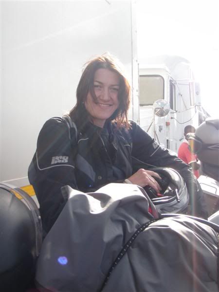
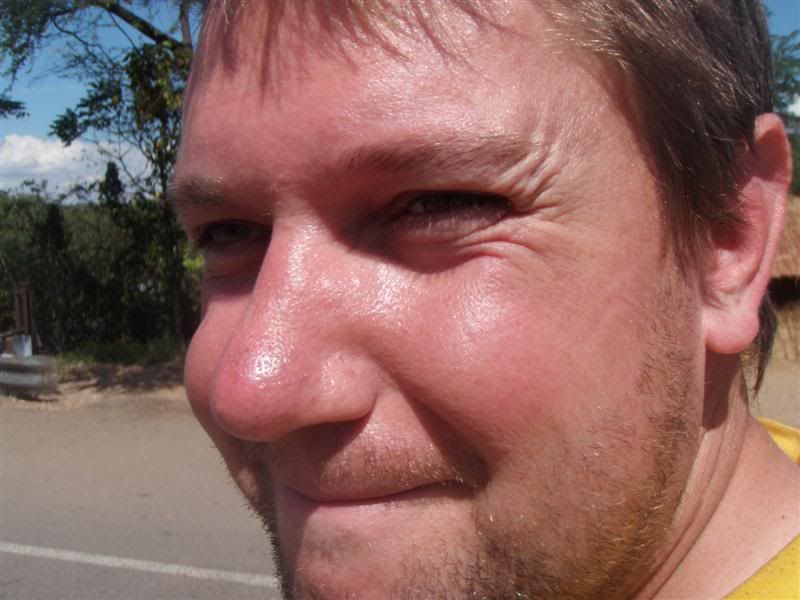
A Happy camper :3some:
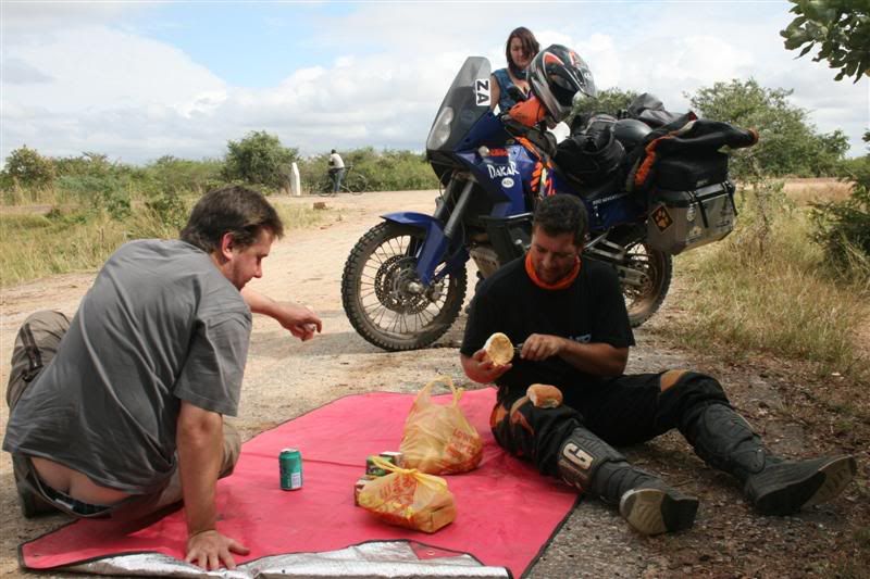
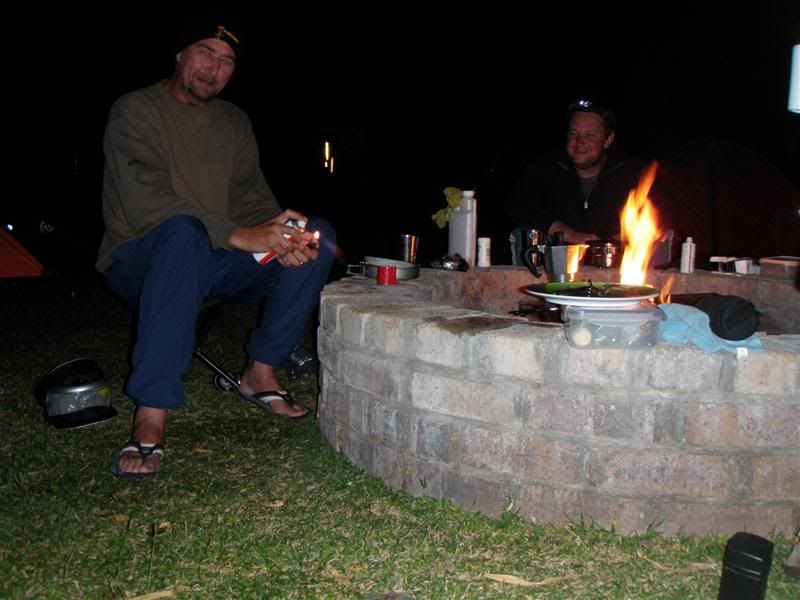
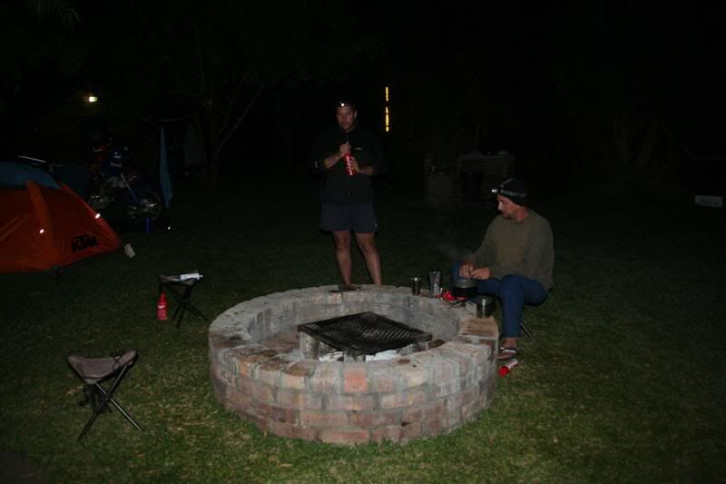
We may not have been all that good in timing our arrivals each day, but our choice in accommodation on most days was superb. Pioneer camp was another good choice – the bar was well stocked and the steaks large and juicy.
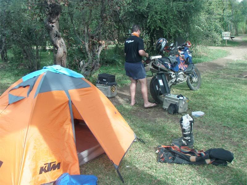
Another evening shower ensured that our tents were to stay wet at least another day
Route: Chipata, Katete, Petauke, Nyimba, Chongwe, Lusaka
Distance: 568km
Fuel: Freely available although sometimes not at Nyimba (expensive)
Border costs: n/a
Accomodation costs: Pioneer camp – US$ 6.00 p/person. Good facilities, Bar & menu
The campsite at Mama Rula's
It would be incorrect to list this day as anything other than moderately interesting. The first 240km from Chipata to Nyimba was just a road in a foreign African country.
After Nyimba the next 120km made up for it and by the time we got to the Luangwa river bridge our hearts were pumping. I will come back one day, without panniers and really give it a go. Nothing like burning the last bit of carbon OUT OF EVERYTHING…. Heh heh heh…..
The bridges on our trip fascinated me and the Luangwa River bridge was one of them.
A bit of research revealed the following:
“The Luangwa Bridge is the only large bridge and the principal engineering challenge on Zambia's Great East Road, crossing the lower Luangwa River where it flows from the Luangwa Rift Valley into the Zambezi valley.
The river is 250-400 m wide in this area, and though in the dry season it may be confined to a shallow channel meandering across sandbanks, at the end of the rainy season any bridge has to be able to withstand a full-width, deep and fast-moving flood. The Great East Road runs for most of its length on watersheds at an elevation of around 1000 m, but the river is at an elevation of 390 m at the bottom of the valley. The bridge approaches have to contend with steep rugged slopes and deep ravines covered in forest or thick bush; the area is remote and about 250 km from the nearest city, Lusaka.
The First Luangwa Bridge was built in Zambia's colonial era in 1932 as a narrow 300 m long wide steel and reinforced concrete deck on concrete piers and columns. Its proximity to Mozambique and Zimbabwe, as well as its status as the only access point within the country for Zambia's Eastern Province, makes it strategically vulnerable in any conflict. After Zambia's independence in 1964, President Kenneth Kaunda's support for freedom fighters in neighbouring countries led to the bridge being destroyed in revenge.”
There was a horrible section where there were roadworks in progress and this is unfortunately where we needed to refuel.
Riding in the dust was one thing, but having an 18 wheeler hurtling past and showering one in tones of dust is another.
In for a penny ......
The Dromedary bags work really well
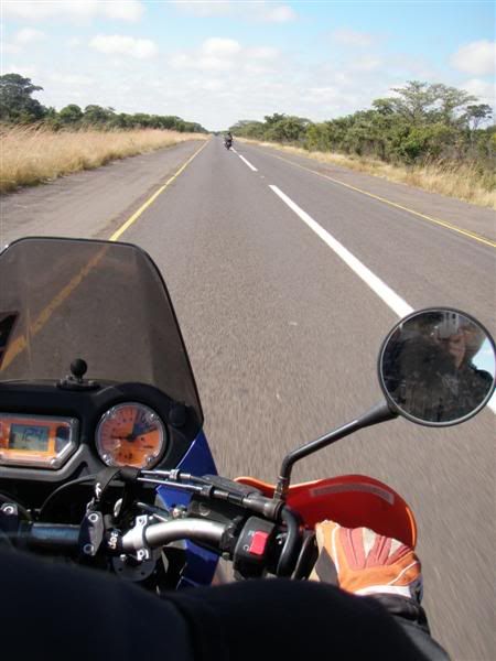
Making sure this was DEFINATELY the road to Lusaka
A Happy camper :3some:
We may not have been all that good in timing our arrivals each day, but our choice in accommodation on most days was superb. Pioneer camp was another good choice – the bar was well stocked and the steaks large and juicy.
Another evening shower ensured that our tents were to stay wet at least another day