Day 3: Elephants everywhere. EVERYWHERE!!! - Spitzkoppe to Rocky Mountain High
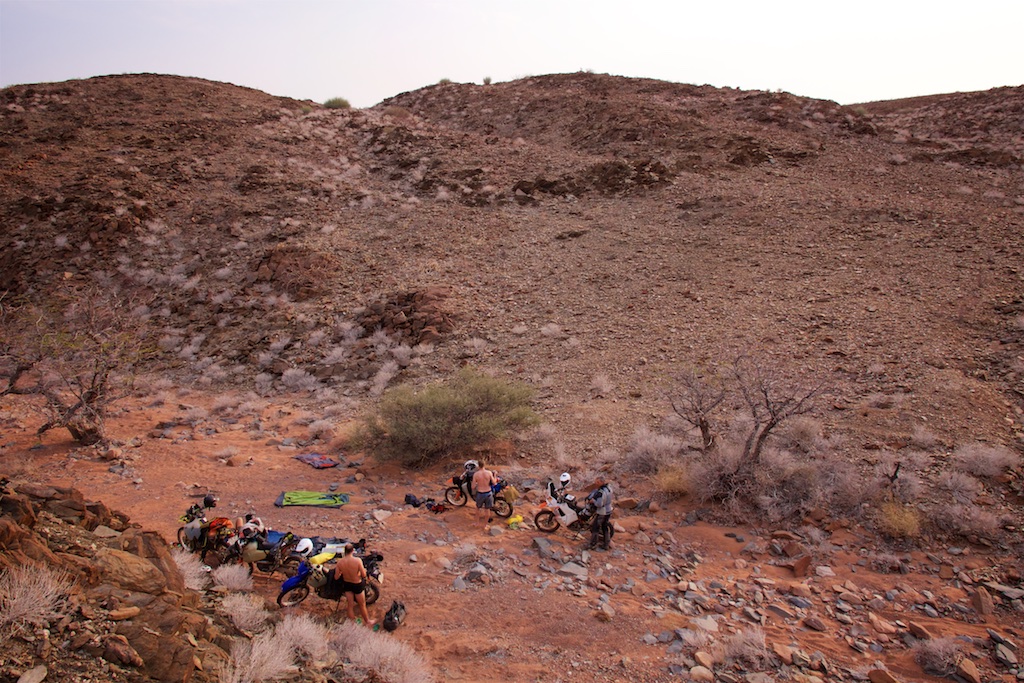
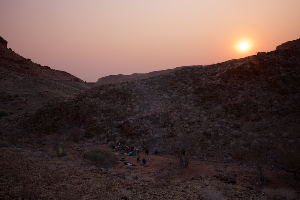
There’s something special about the first morning waking up in the wilderness. It’s when you
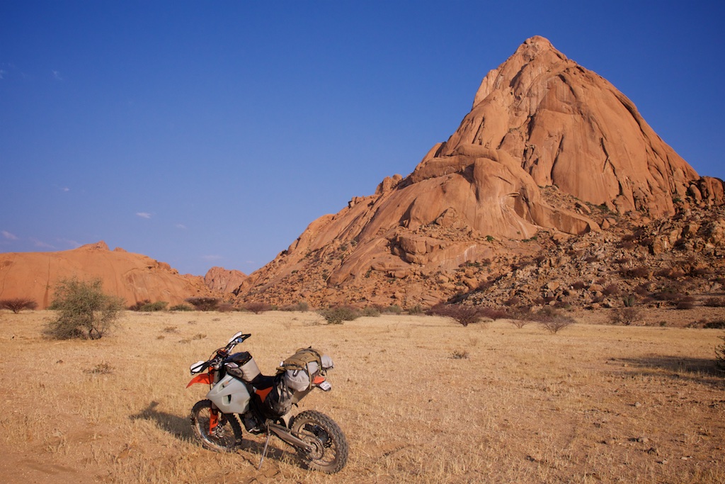
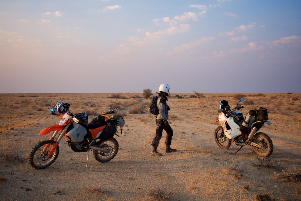
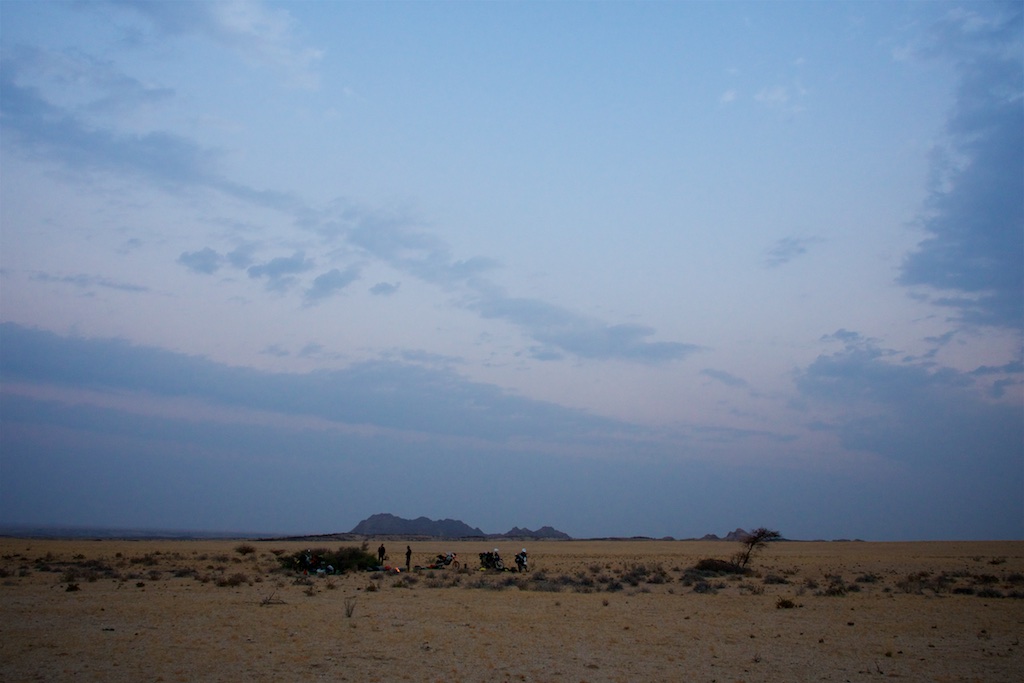
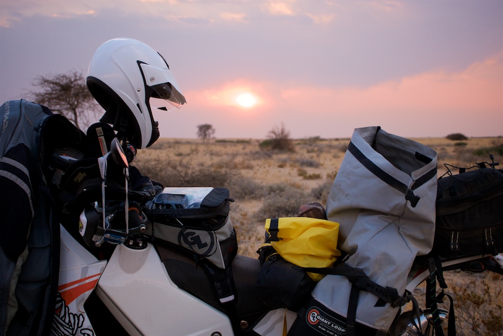
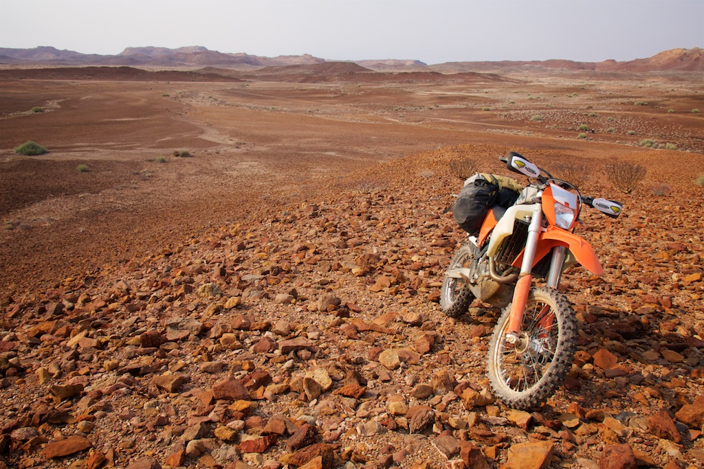
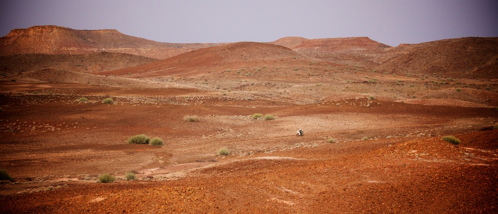
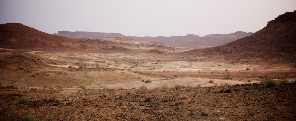
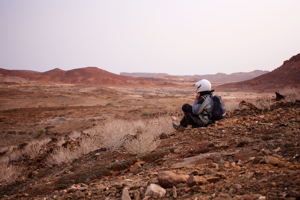
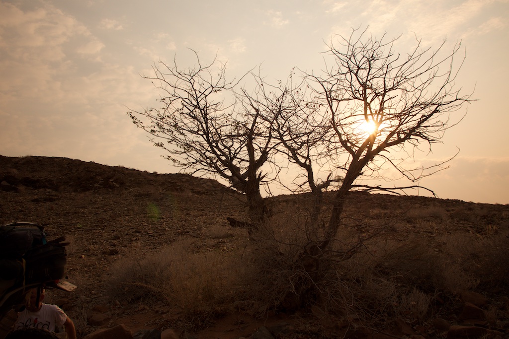
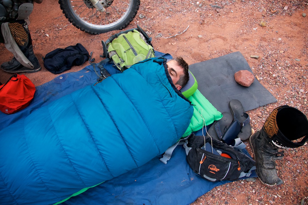
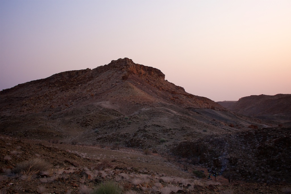
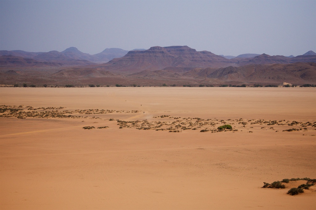
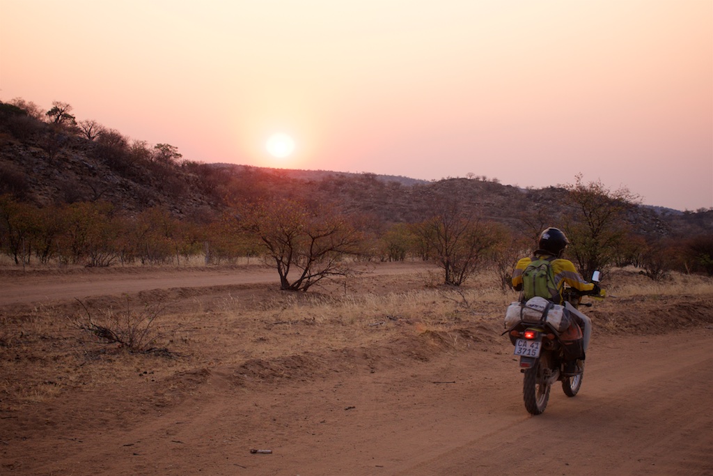
know the trip has really begun. We tend to bush camp where we can, so I awoke before sunrise to a huge sky, endless vistas and silence.
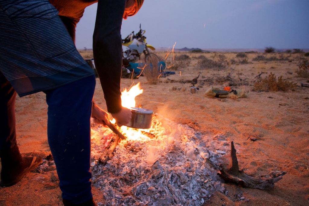
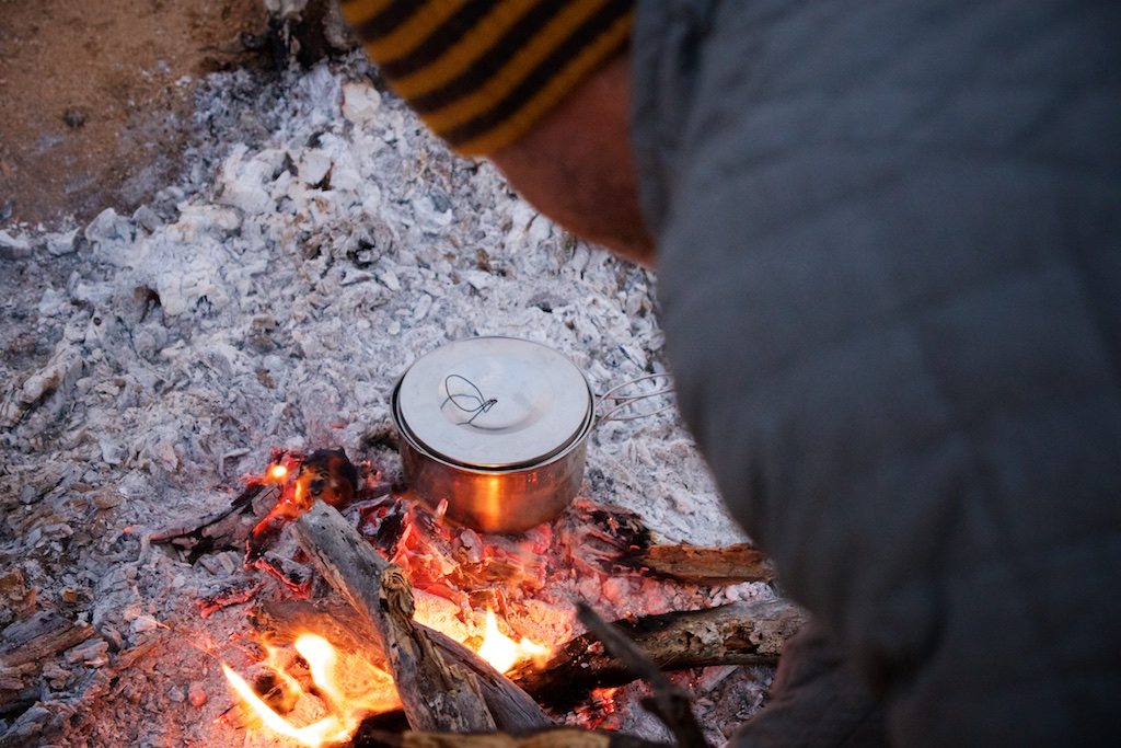
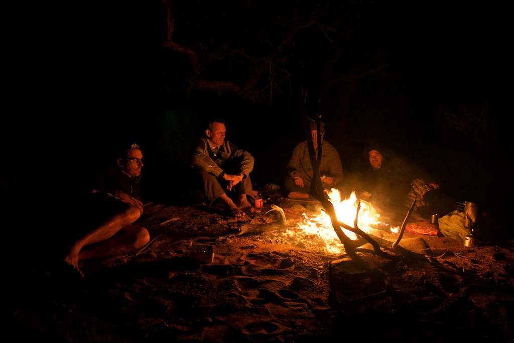
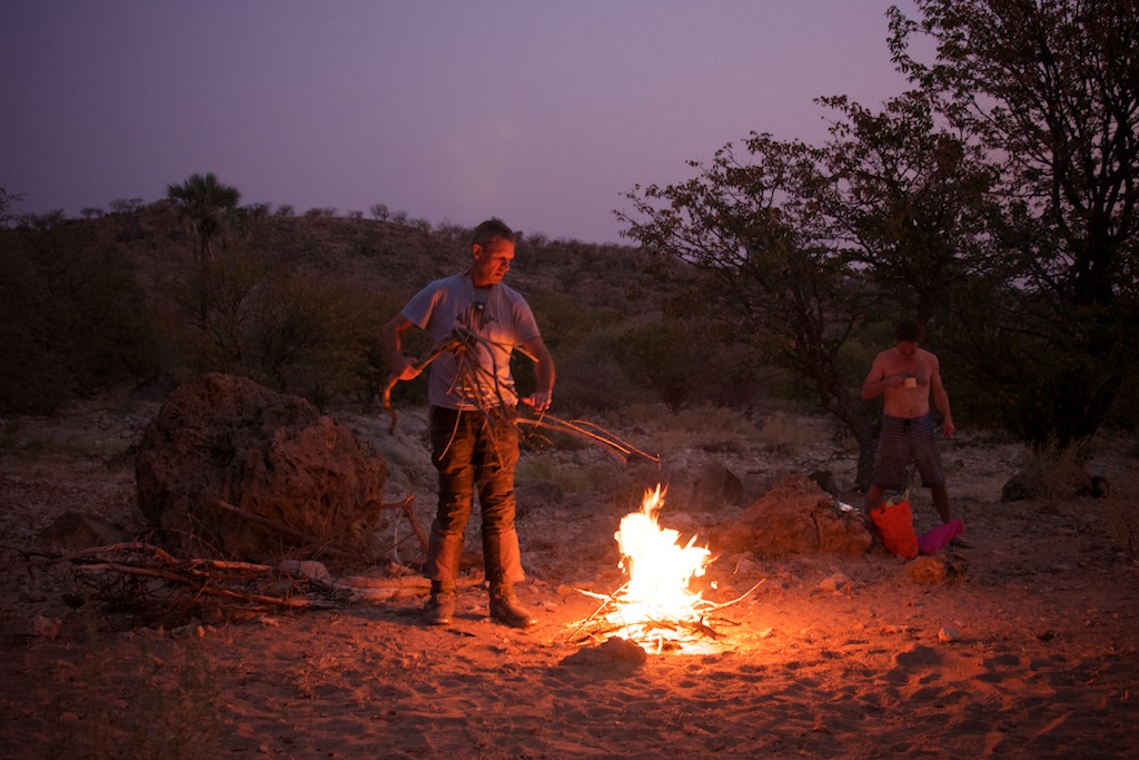
We’d celebrated a bit last night and burnt half the veld, so the fire burst back into life with a dry twig.
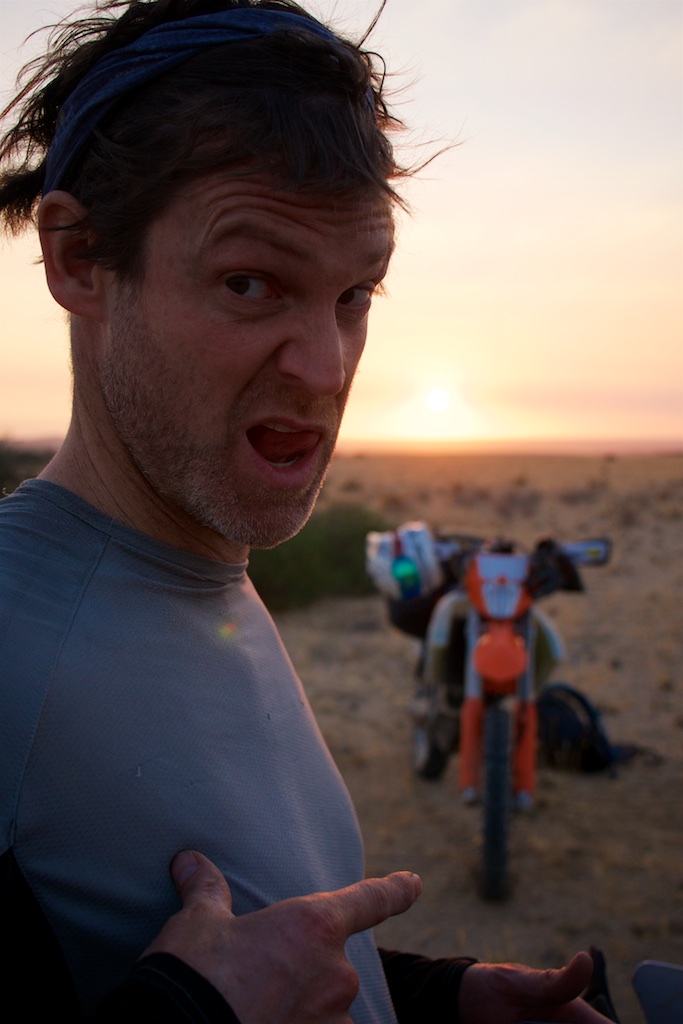
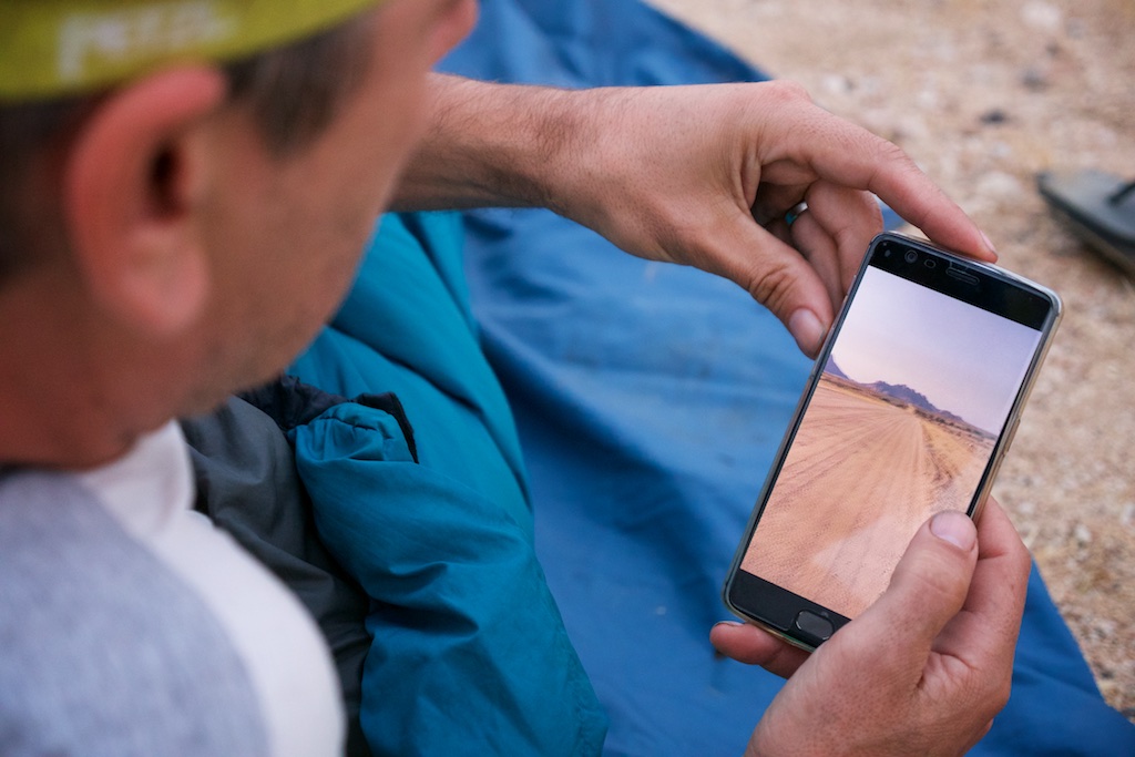
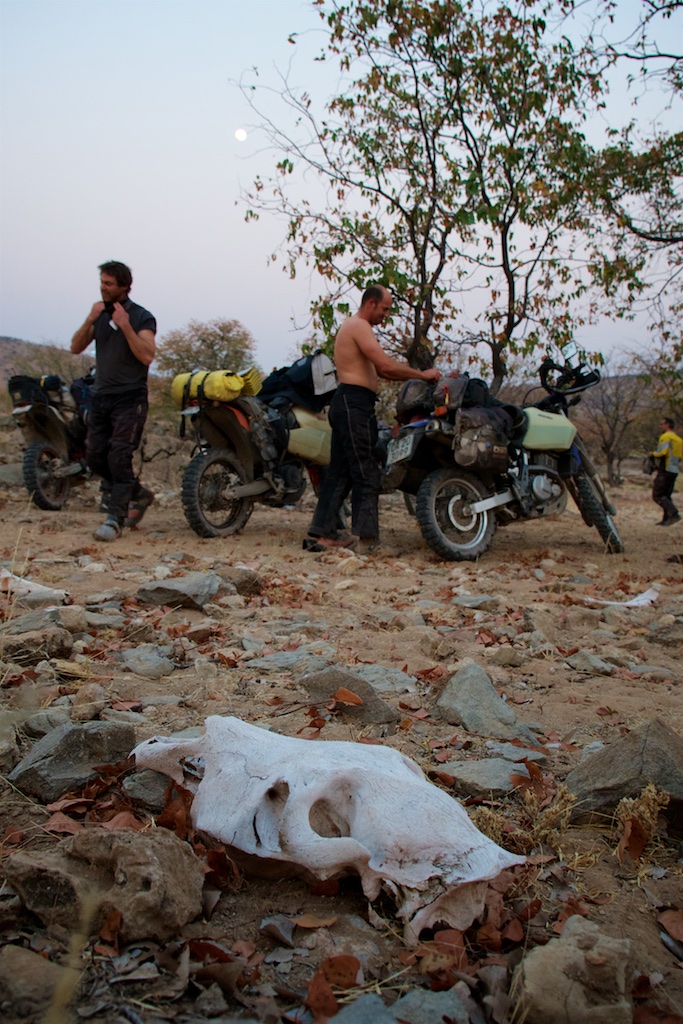
Tom is our movie maker on this trip, and started reviewing his footage and making noises like an excitable chicken. If he gets his **** together hopefully you’ll see some of his wondrous creations start appearing here.
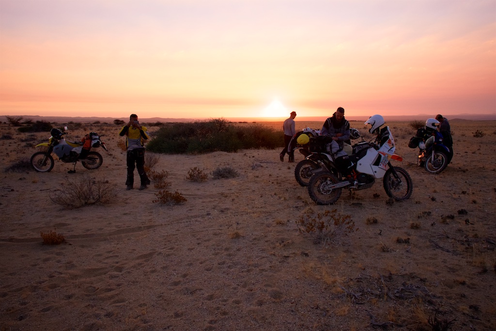
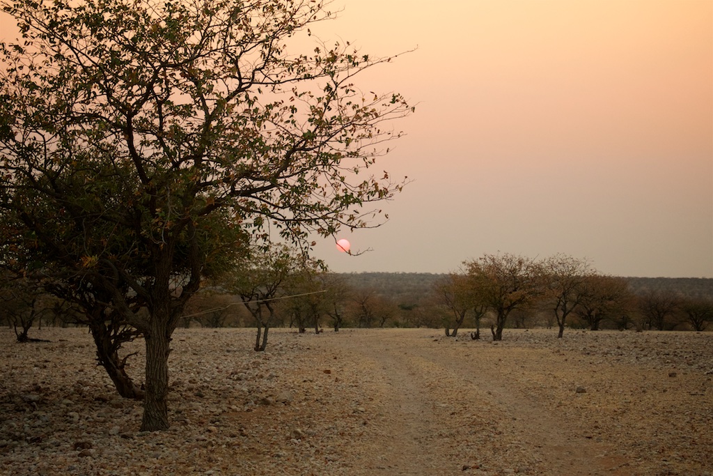
And then the sun was up. Morning Namibia!!
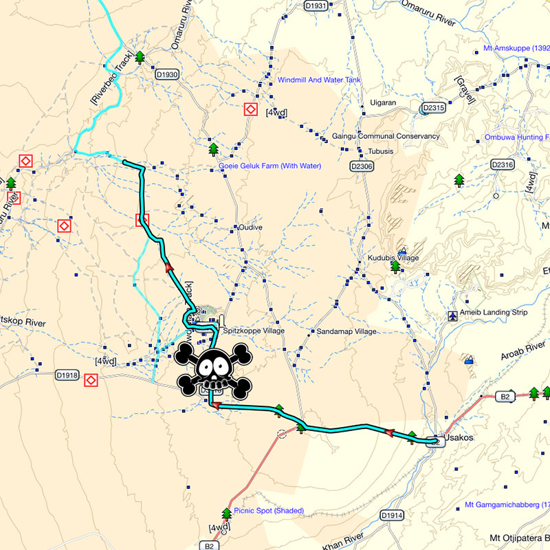
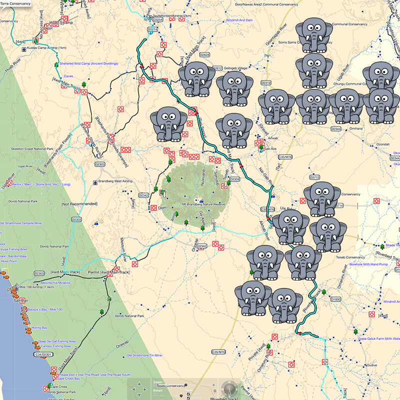
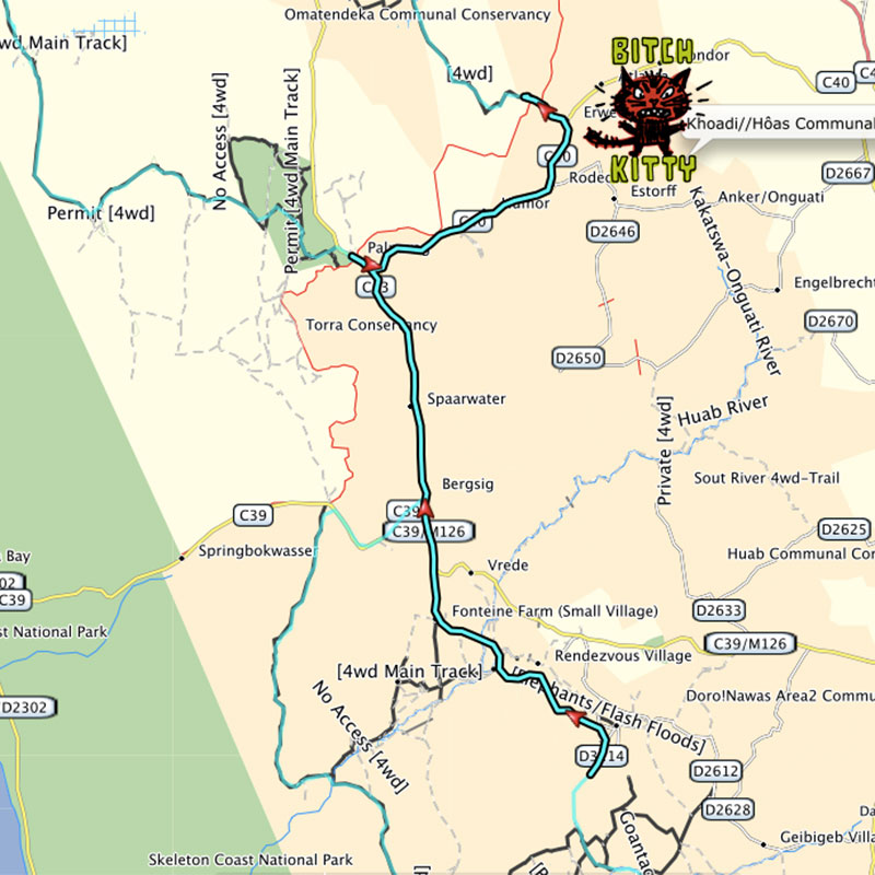
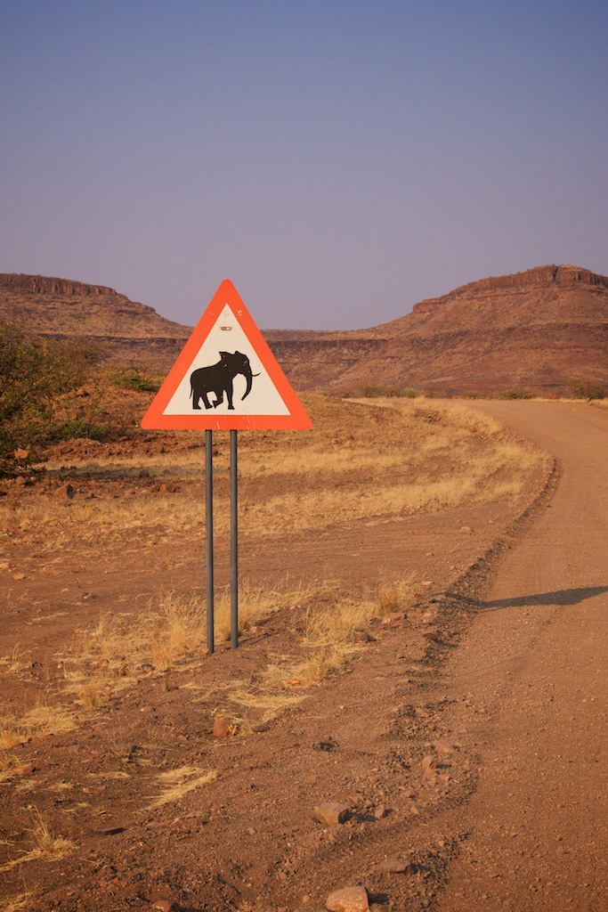
As you’ll see from the day’s map, today was going to be a veritable flood of elephants. Huge, angry, ear flapping pachyderms in river beds, herds of the bloody things sauntering across the plains, trunk to tail. Babies, big ones, grumpy ones, muddy ones, old ones. I was exceedingly excited for the day, and happy because today would be the day I get vindicated for my enthusiasm in offering to take a free Kitty ***** on day 4 if we hadn’t seen an elephant by then. Safe as houses.
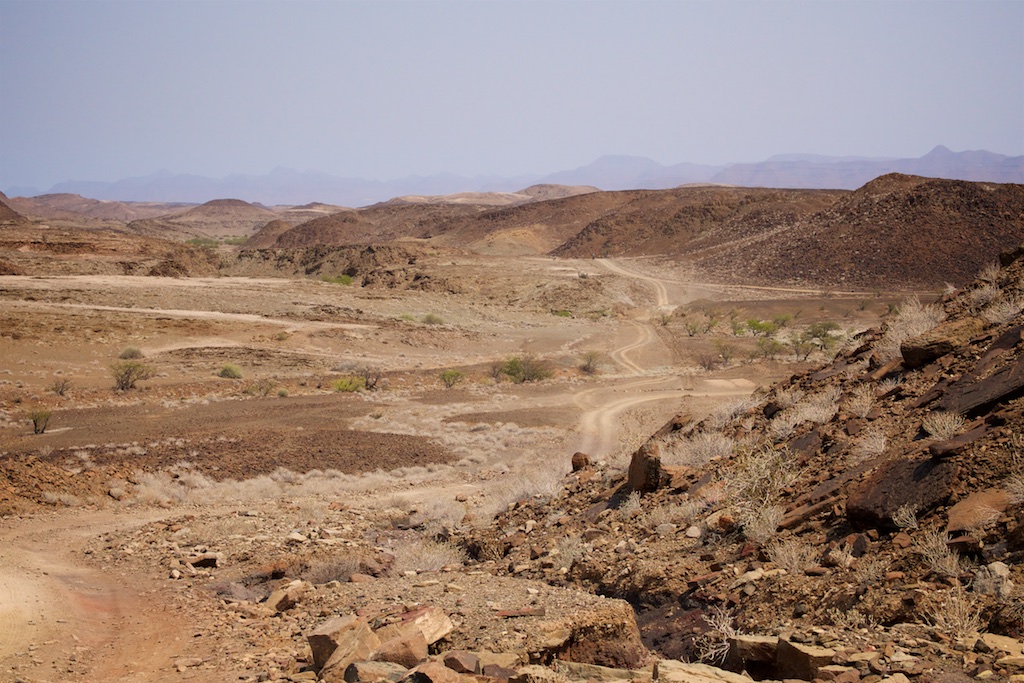
Route planning for these trips has evolved into a fine art. It sounds highly technical and complicated, but actually any fool can do it. Which always seems to mean me. First - spread the word about where you’re going and start looking for suckers, I mean willing and enthusiastic strangers on Wilddogs, to share their secrets on the best routes. Then stick those into Basecamp and plot the best looking routes on Tracks for Africa. The aim is not just to avoid tar, but if possible all dirt roads too. This fussy bunch start whining like a poodle locked in a cupboard if you put them on dirt roads for too long. Tweespoor = better. Barely visible goat tracks through the bush = best. Compass point for 246degrees and an empty sea of sand dunes? Nirvana.
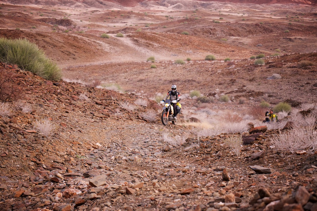
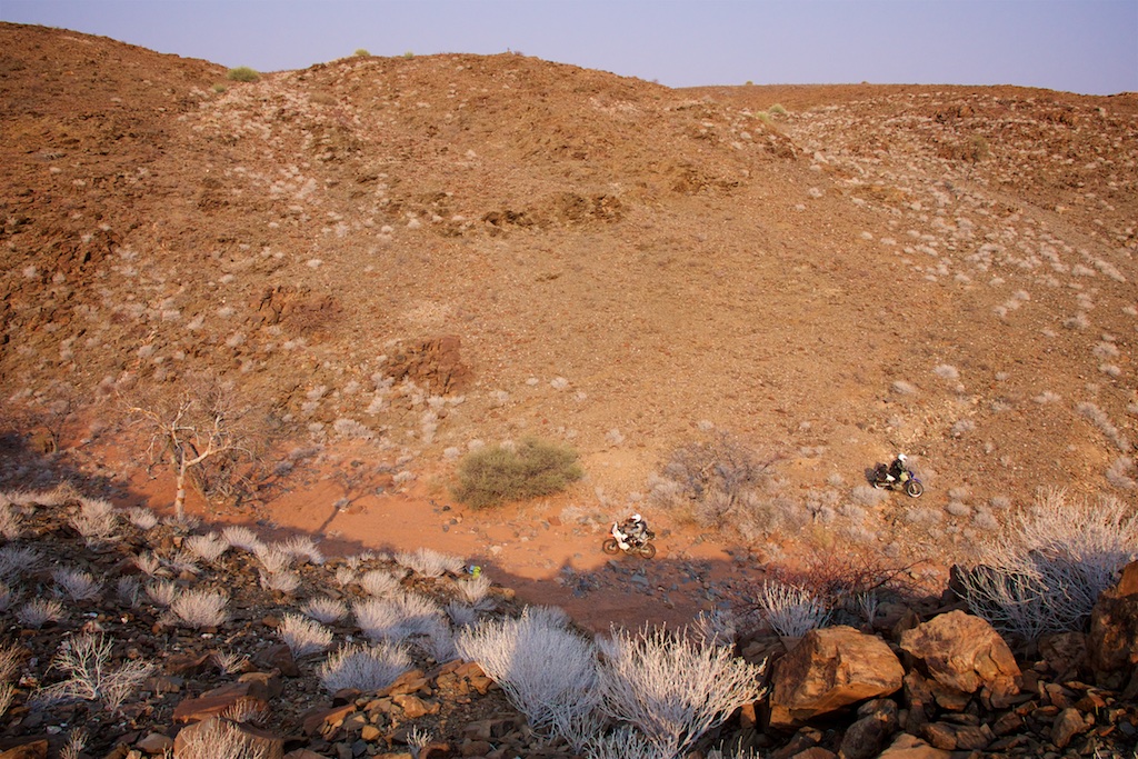
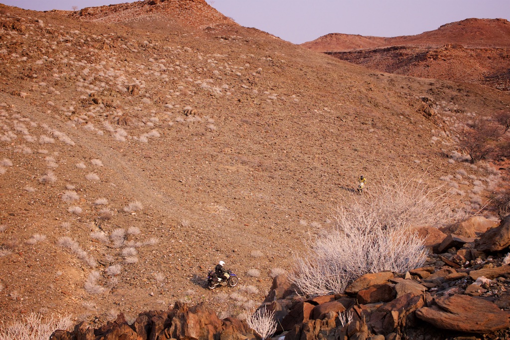
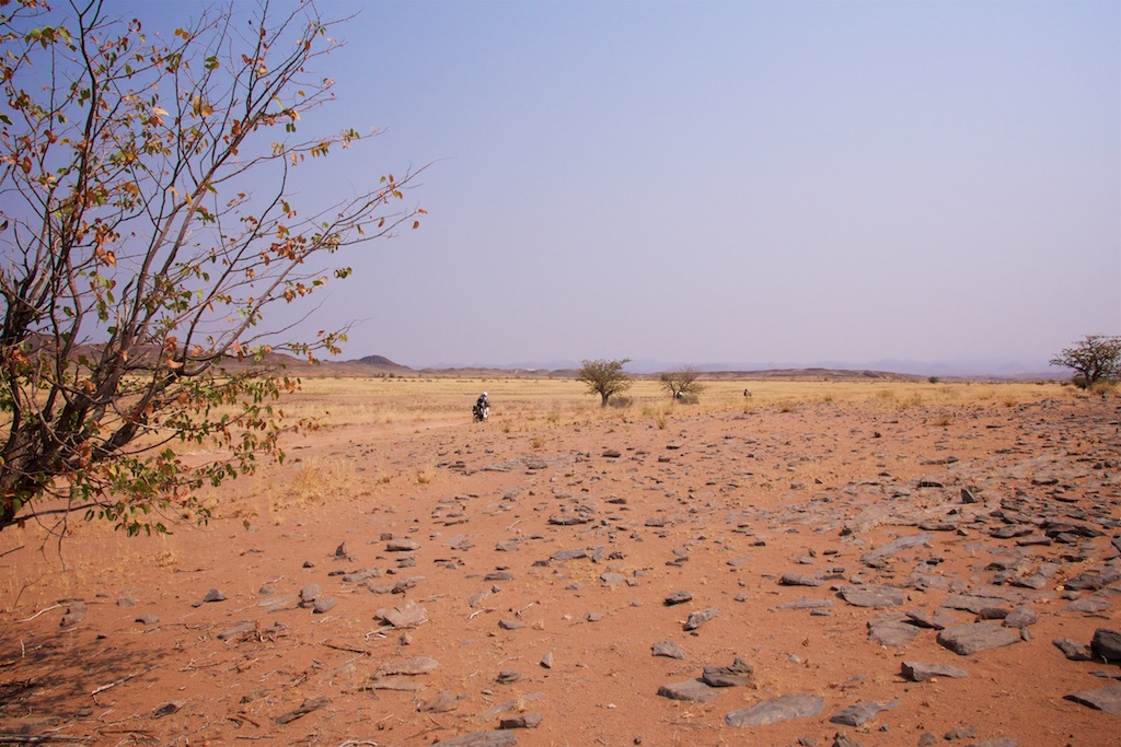
So then you export the tracks, stick them into Google Earth, and that’s where the fun starts. Any river bed is fair game. Barely visible goat tracks and footpaths are awesome, and if it’s open enough just draw a line between two points. The idea is to take short cuts, draw squiggly lines away from the routes you’ve just plotted in T4A, and generally try and sniff out some new ways to get from A to B. And avoid the roads.
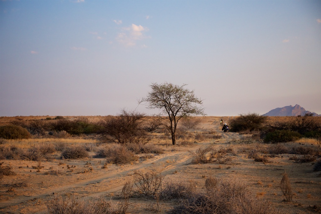
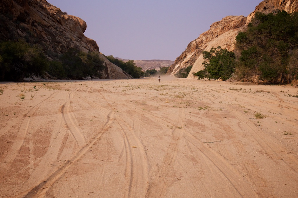
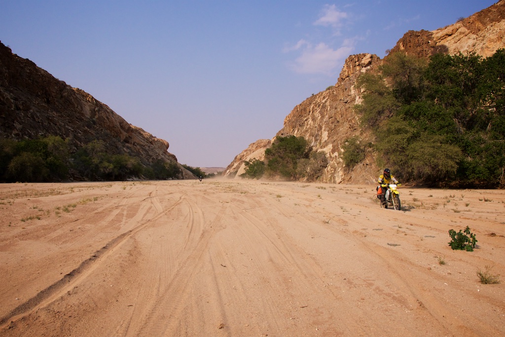
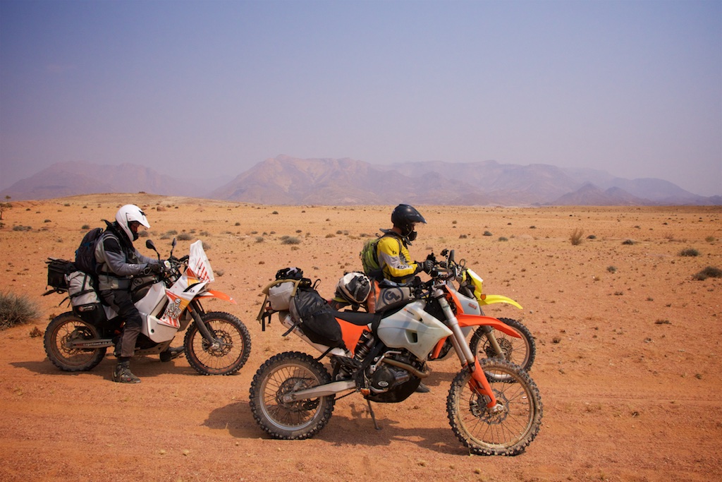
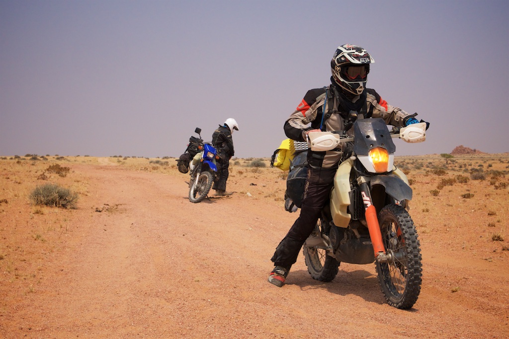
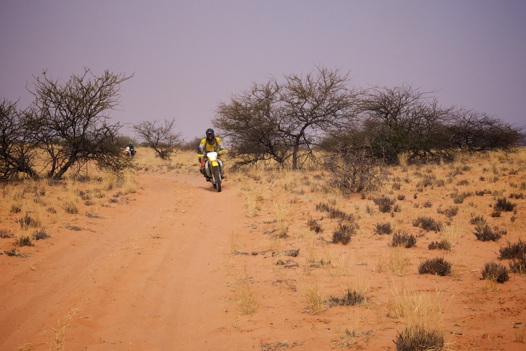
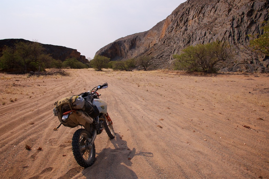
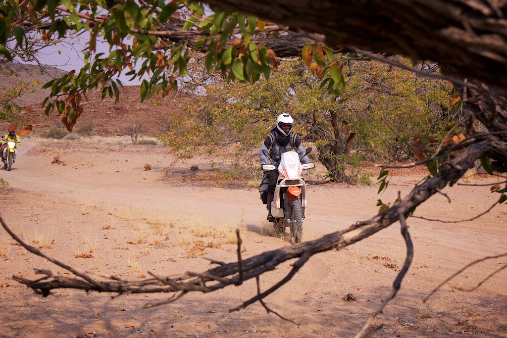
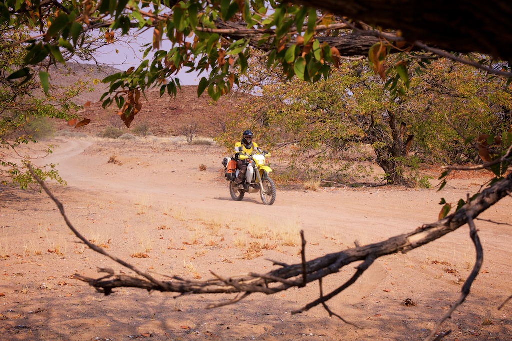
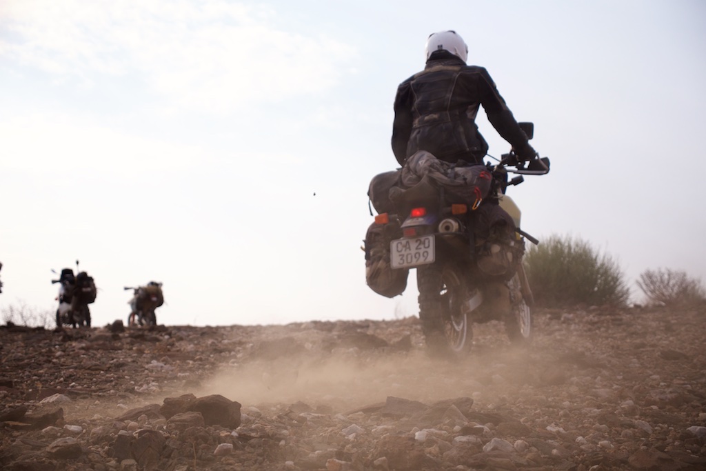
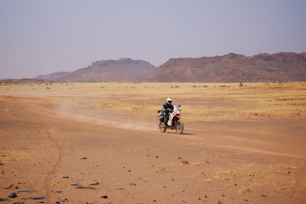
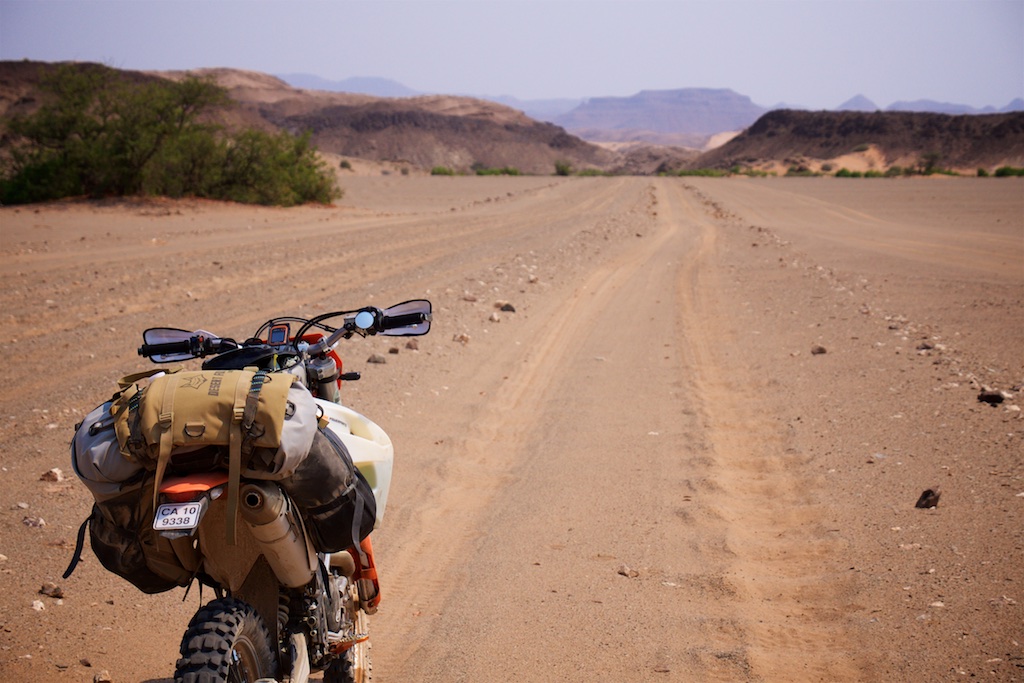
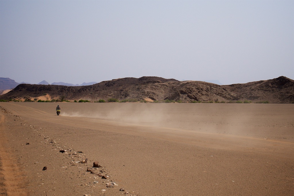
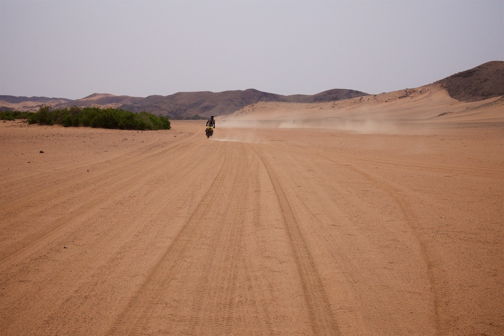
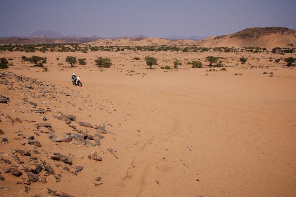
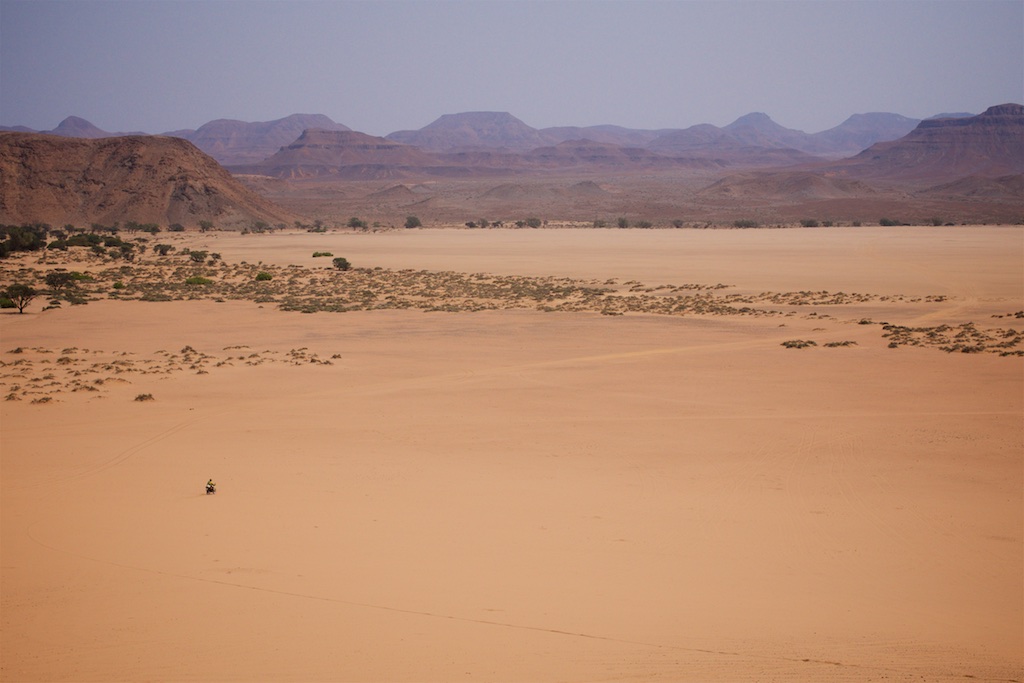
So we got going slowly and ambled along the trail until we hit the Omaruru river. A massive open sand highway turned right, and yes, Siree, off we blasted. The riding was bloody sensational.
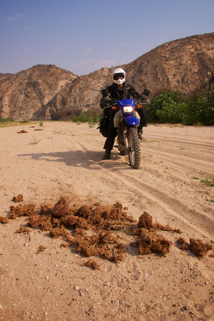
And before long we started happening upon very fresh elephant dung.
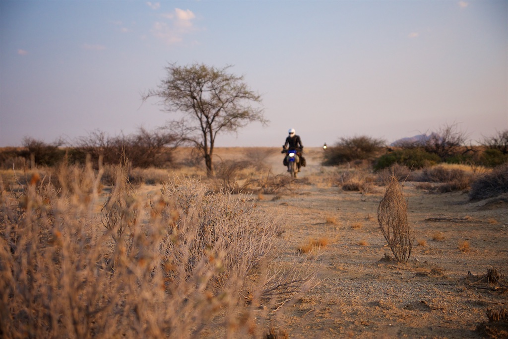
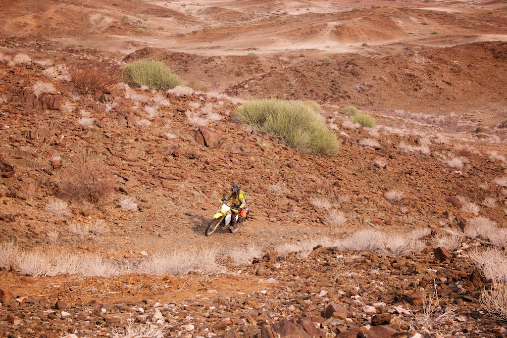
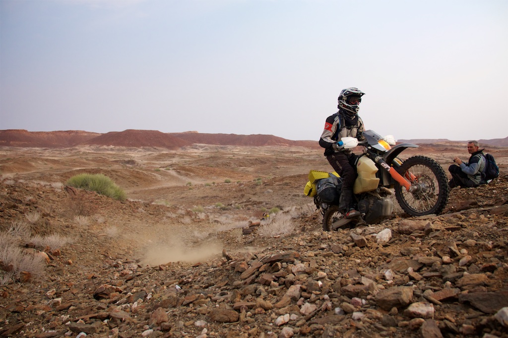
Wouldn’t be long now. We took turns riding at the front - it was full gas 3/4/5/6 gear stuff. Open, flowing and fantastic. Not exactly virgin terrain - there were quite a few vehicle tracks - and the best strategy was to hammer it across the tracks at about 45 degrees, and carve around the outside of the bends on untouched sand. Occasional drop-offs up to about half a metre kept it exciting. Everyone was handling the conditions and excitement was high.
After a while the river bed started to narrow and there was lots of standing water and tall reeds to the side of the trail. I haven’t got pictures for some reason - mostly because I was a bit wary about the angry male elephant we were about to bump into. He was huge, beastly and wouldn’t take kindly to me sitting there faffing with my camera.
And the lions. I didn’t want to be Kentucky Licken Chicken.
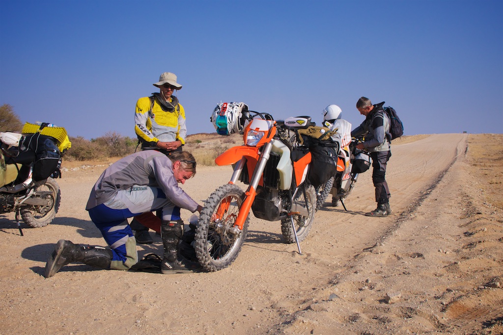
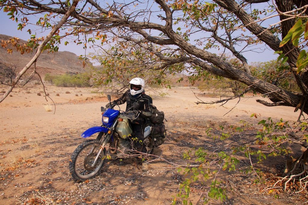
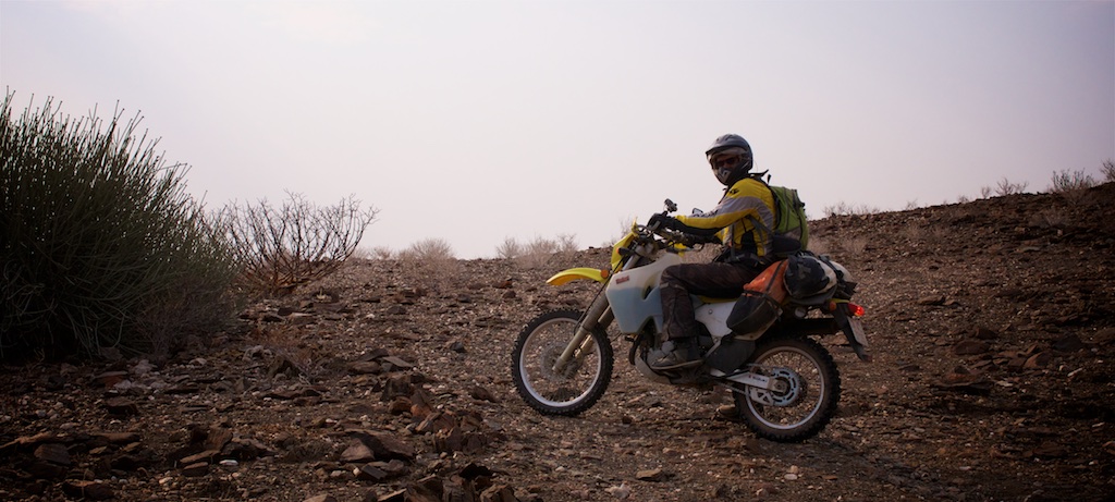
We did about 25km in the river bed, emerging sopping wet from the numerous dunkings. English was blabbering excitedly about how his DRZ could walk on water, and how incredible these machines were to take on any terrain and come back begging for more. He was riding like a rally god, leaving Midget flapping his little legs uselessly against Buttercup’s ample thighs in his wake.
Our trip had at long last really begun! And in what style!
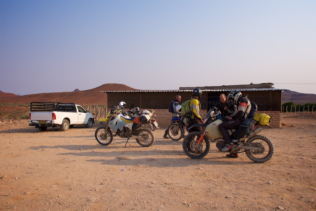
We arrived at Uis for petrol and found a late breakfast at a lodge with two grumpy parrots. We even washed off our filth in their huge, delicious swimming pool. Can anyone explain to me why Namibian pools are all icy freezing despite the 40 degree weather?
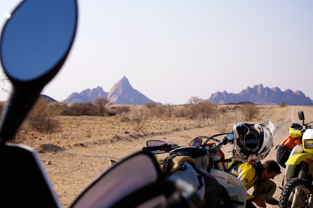
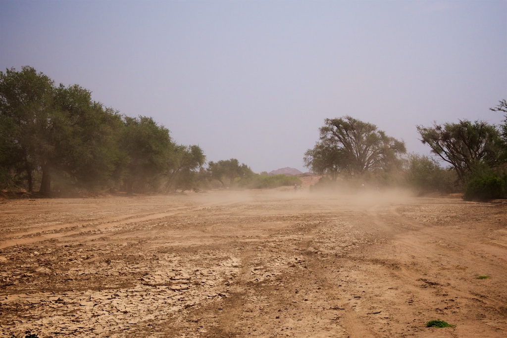
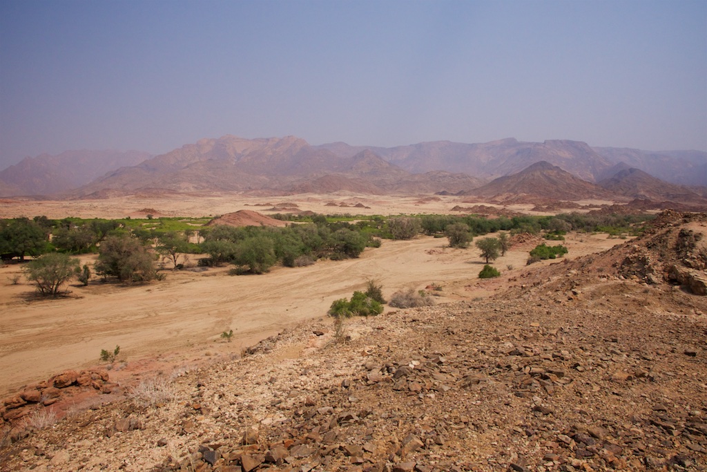
Dust was hanging heavy in the sky, which made visibility less than we’d like. We were riding past the legendary Brandberg, and you could hardly see her through the haze.
In the lead up to this trip there had been a bit of a frenzy of excitement about wild animals, what we’d be seeing, who would be visiting our campsites during the night, and whether all of us would be returning to loved ones and lives otherwise put on hold. We discussed at length what we’d do if a face-eating hyena removed one of our said faces during the night (leave him out for the crows, set his bike on fire, video everything). As the trip drew closer, excitement twisted towards a slight tinge of fear laced with a side dish of paranoia.
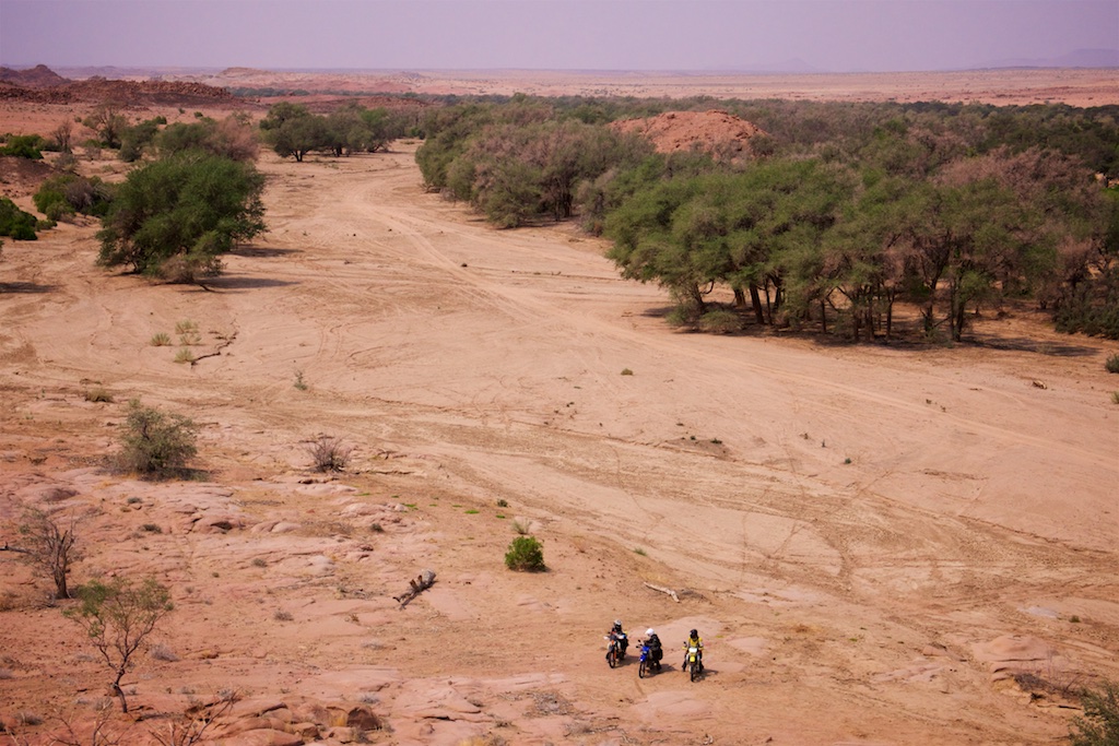
Hardy had warned me that there were a few river beds one needed to be especially cautious of due to the high density of game and lack of sufficient visibility. Three of them he warned me off as being outright dangerous, and one of those three now lay directly in front of us: The Ugab.
How about if we were to just peel off our track and instead of crossing it directly, take the last five km down the river bed, just to get a taste of what we were in for and to get the juices flowing.
No problem, right?
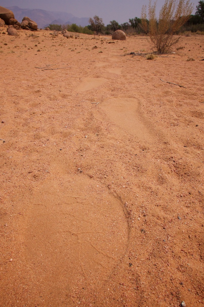
The very, and when I say very, I mean literally right as we entered the river bed, first thing we saw was this:
Now, I don’t know about you, but to me that looks like an exceptionally fresh, and very, very large elephant footprint.
I whipped out my camera, started snapping away, and looked up.
So much for friends. Strength in numbers and everything. Gone! Woosh.
I was all alone.


